48. Brazil: Iguaçu National Park/UNESCO World Heritage Site
The Wandelgek rose early, had a quick shower, dressed, went for breakfast, grabbed his luggage from his room, checked out and got transport to the smaller national airport of Buenos Aires.
There he took a flight north…
…over the river Parana delta …
and north over mesoptamia (the land between rivers, in this case the Parana and Uruguay rivers) and further north over the province of Missiones …
… toward where Argentina met with Paraguay and Brazil, until in the end a forest fire seemed to be devastating and scourching the land. But it wasn’t it was the water of Iguazu spraying high up into the air, thus creating the rainforest friendly environment.
There near the border he landed at the Argentinian Iguazu International Airport.
After dropping our stuff at the reception area of the resort in Puerto Iguazu (yes The Wandelgek was staying at a resort!), he took a bus toward the Brazilian border crossing.
After customs formalities, it was a short ride toward the Brazilian Iguaçu National Park.
Btw.: At the border there are some days when passports get stamped and some days when not. If you’re a stamp hunter then check that out. Passing the border on a non stamp day takes less time waiting in line.
Iguaçu National Park
Iguaçu National Park (Portuguese pronunciation: [iɡwaˈsu]) is a national park in Paraná State, Brazil. It comprises a total area of 185,262.5 hectares (457,794 acres) and a length of about 420 kilometers (260 mi), 300 kilometers (190 mi) of which are natural borders by bodies of water and the Argentine and Brazilian sides together comprise around 260,000 hectares (640,000 acres). Iguaçu National Park was created by federal decree nr. 1035 of 10 January 1939 and became a UNESCO World Heritage Site in 1986. The park is managed by Chico Mendes Institute for Biodiversity Conservation (ICMBio).
The park shares a border with Iguazú National Park in Argentina. It also has one of the world’s largest waterfalls, extending over some 2,700 meters (8,900 ft). It is home to many rare and endangered species of flora and fauna, among them the giant otter and the giant anteater. The clouds of spray produced by the waterfall are conducive to the growth of lush vegetation.
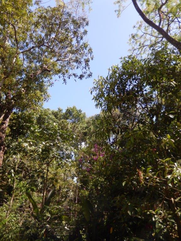
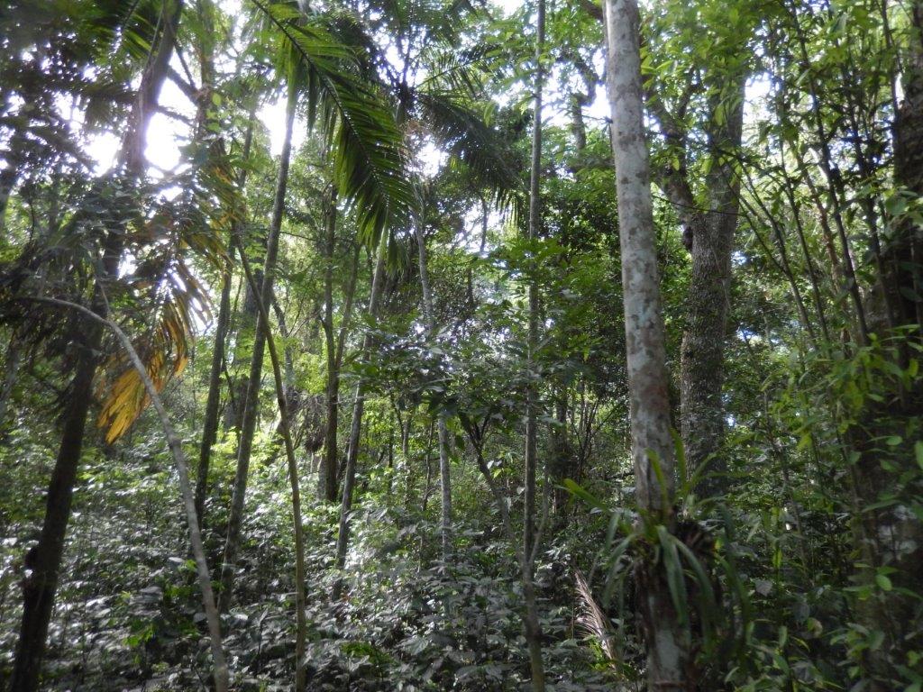
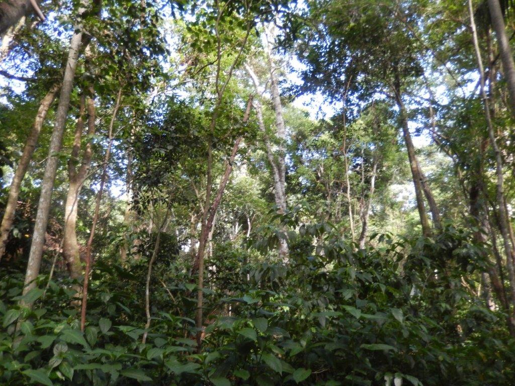
Beneath on this map, the left side is the Brazilian side (the dotted line is the international border) of the waterfall. From the visitor center left below, a walking trail goes to the hotel. This is a rainforest trail….
From the hotel a 1,5 kilometer trail sets off towards the viewing areas, going down via many stairs and after a while up again to end near the restaurant which is a bit further down the trail. Halfway the trail is an orange colored trail going to a panoramic elevator. There are two ways to get to the restaurant above. The elevator and the stairs.
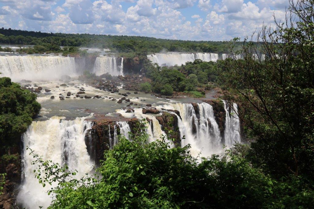
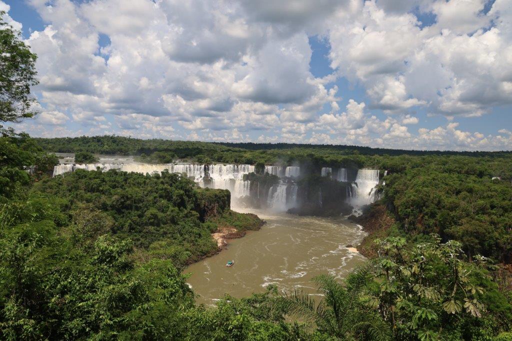
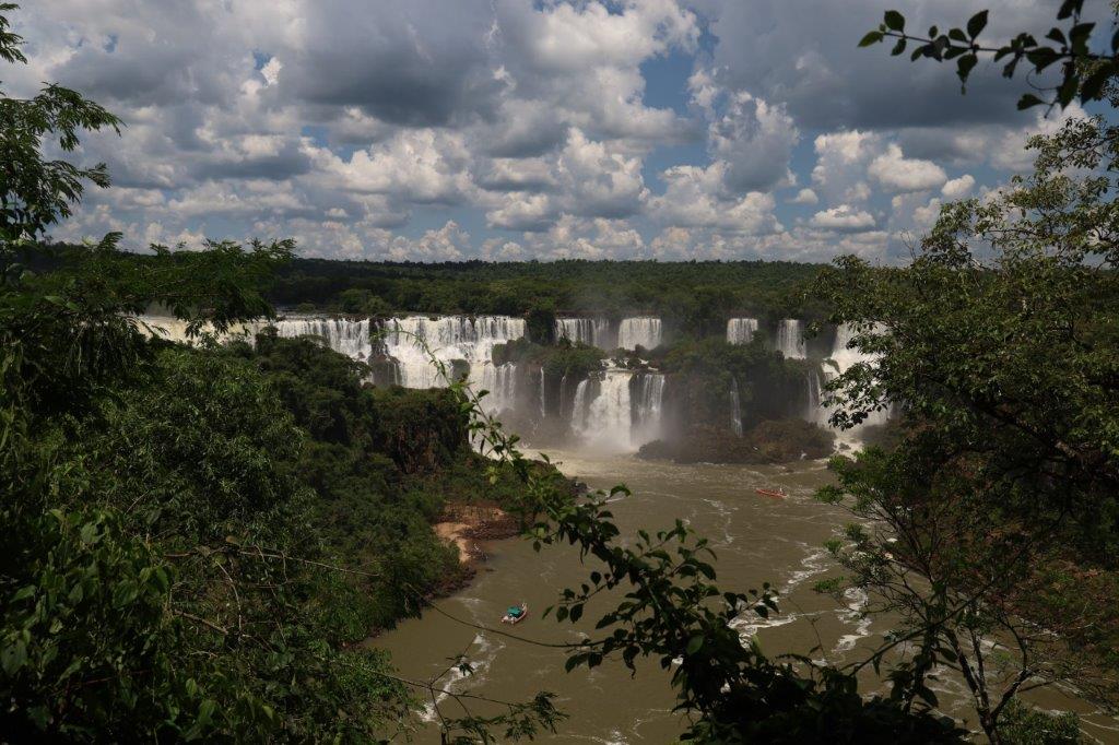
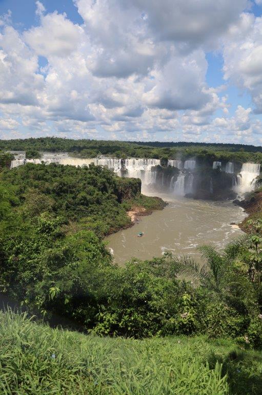
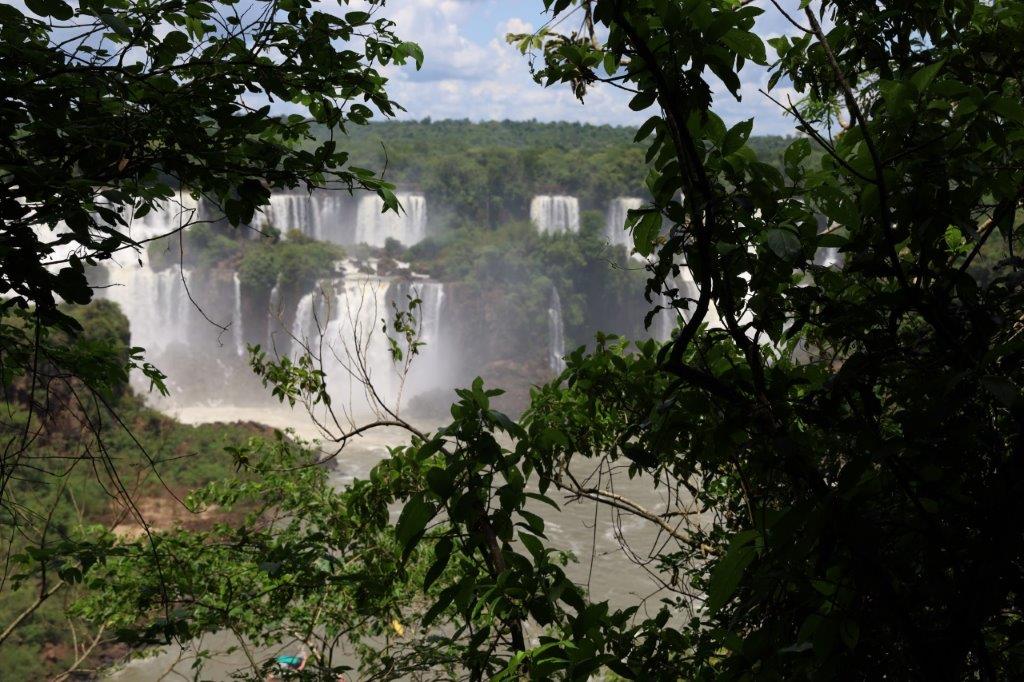
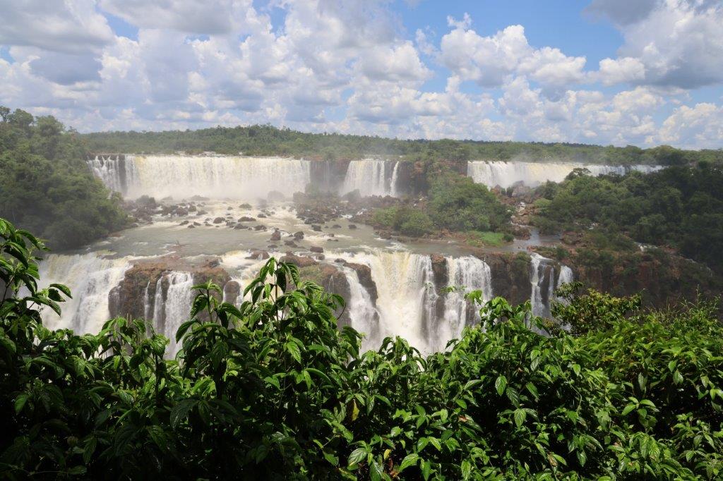
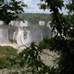
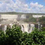
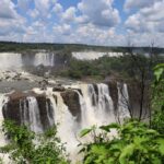
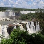
First amazing view at the panoramic viewpoint, still high on top of the trail:
Iguazu: You need to understand something about these falls. Some say they are the largest in the world. Well that depends on how you interpret “large”.
- If large is height then there are larger falls, like e.g. Victoria Falls in Zimbabwe/Zambia.
- If large is measured by the maximum measured amount of m³ water going through in a year, then Niagara in Canada/USA is larger.
- But if large is width or mean amount of m³ of water going through in a year than Iguazu in Brazil/Argentina beats them all.
Iguazu falls havevsome other differences with the other falls which contribute in people thinking they are the largest waterfall on earth.
E.g.: The falls are over a length of about 3 kilometers almost completely visible from certain viewpoints on the ground. Victoria falls is only completely visible from the air.
Another example: Vic Falls is a bit longer than 1700 meters (shorter than Iguazu), but it is the largest sheet of falling water with a height of over 108 meters (higher than Iguazu). Reason for this is that Iguazu is actually two waterfalls cascading, one after the other. Like this, but from afar it looks like one fall. Like this:
But it is certainly the most impressive waterfall in the world.
The Wandelgek visited Victoria Falls or Musi-oa-Tunya in 2015, while travelling through Southern Africa. See:
2. Zimbabwe: Victoria Falls National Park: ‘Dr. Livingstone I presume?’ – 2015
To see the complete falls, he went for a helicopter flight. See:
Although Victoria Falls was very impressive and absolutely higher than Iguazu, The Wandelgek just has to admit that these falls were even more impressive and as I already wrote, almost 3 kilometers in length!!!
Now I need to see Niagara Falls next 😂
The waterflow is incredible. The Iguazu is actually only a tributary to the Parana river, a bit further downstream, but look at that…
Similar to Victoria Falls, Iguazu also sprays alot of tiny water droplets into the air, which fall down eventually and create ideal circumstances for tropical rainforest to grow…
There is quite some upward airflow thermals at tge falls and condors use these to circle above the rainforest:
The Wandelgek walked around and remembered a few days earlier…
… when he was still in Patagonia. How quiet nature had seemed over there, while here it was bazooning with all sorts of possible animal sound and the falls came on top of that. This jungle was bustling with…. life!
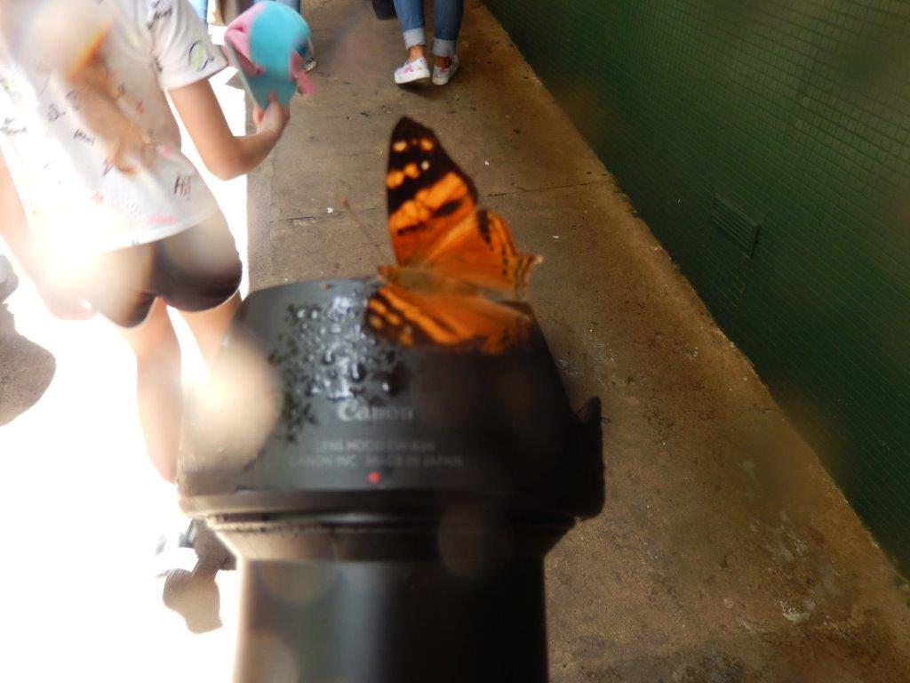
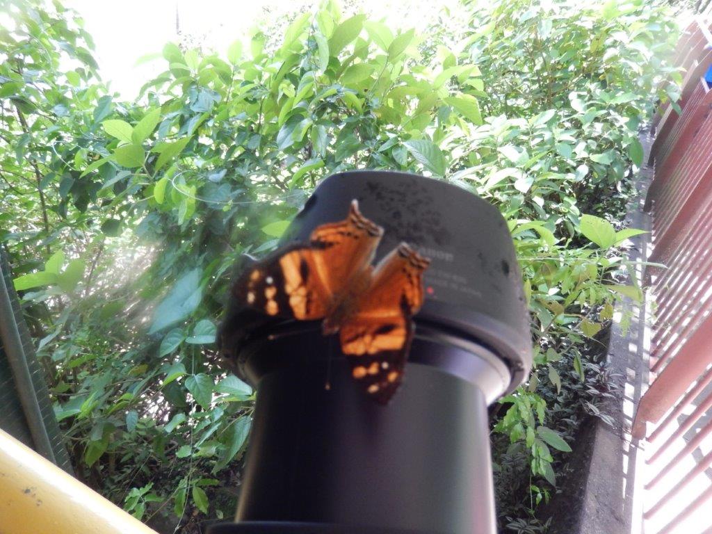
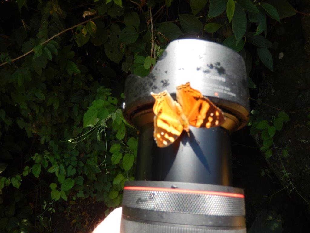
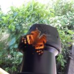
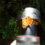
There were these large clouds of butterflies, I never saw anything similar before, twirling and swirling around my head and suddenly flying off again. Some butterflies were sitting on my hand or my camera or camerabag or travelguide….
There were also lots of monkees that could be heard and these Coatimundis even with cubs …
Coatis also known as coatimundis are members of the family Procyonidae in the genera Nasua and Nasuella (comprising the subtribe Nasuina). They are diurnal mammals native to South America, Central America, Mexico, and the Southwestern United States. The name “coatimundi” comes from the Tupian languages of Brazil, where it means “lone coati”. Locally in Belize, the coati is known as “quash”.
They were acting quite opportunistic, not afraid of humans and scavenging the floor for food or else stealing it from visitors not paying attention …
Adult coatis measure 33 to 69 cm (13 to 27 in) from head to the base of the tail, which can be as long as their bodies. Coatis are about 30 cm (12 in) tall at the shoulder and weigh between 2 and 8 kg (4.4 and 17.6 lb), about the size of a large house cat. Males can become almost twice as large as females and have large, sharp canine teeth. The measurements above relate to the white-nosed and South America coatis. The two species of mountain coati are smaller.
All coatis share a slender head with an elongated, flexible, slightly upturned nose, small ears, dark feet, and a long non-prehensile tail used for balance and signaling.
Ring-tailed coatis have either a light brown or black coat, with a lighter underpart and a white-ringed tail in most cases. Coatis have a long brown tail with rings on it which are anywhere from starkly defined like a raccoon’s to very faint. As in raccoons but not ring-tailed cats and cacomistles, the rings go completely around the tail. Coatis often hold the tail erect; it is used as such to keep troops of coatis together in tall vegetation. The tip of the tail can be moved slightly on its own, as is the case with cats, but it is not prehensile as is that of the kinkajou, another procyonid.
Coatis have bear- and raccoon-like paws and walk plantigrade like raccoons and bears (on the soles of the feet, as do humans). Coatis have nonretractable claws. Coatis also are able to rotate their ankles beyond 180°, in common with raccoons and other procyonids (and others in the order Carnivora and rare cases among other mammals); they are therefore able to descend trees head first. (Other animals living in forests have acquired some or all of these properties through convergent evolution, including members of the mongoose, civet, weasel, cat, and bear families.)
The coati snout is long and somewhat pig-like – part of the reason for its nickname, the “hog-nosed raccoon”. It is also extremely flexible and can rotate up to 60° in any direction. They use their noses to push objects and rub parts of their body. The facial markings include white markings around the eyes and on the ears and snout.
Coatis have strong limbs to climb and dig and have a reputation for intelligence, like their fellow procyonid, the raccoon. Unlike the nocturnal raccoons, however, most coatis are diurnal, although some may exhibit cathemeral behavior. They prefer to sleep or rest in elevated places and niches, like the rainforest canopy, in crudely built sleeping nests.
And trying to reclaim something was a rather daunting task. Their teeth were large, sharp and pointy …
Overall, coatis are widespread, occupying habitats ranging from hot and arid areas to humid Amazonian rainforests or even cold Andean mountain slopes, including grasslands and bushy areas. Their geographical range extends from the southwestern U.S. (southern Arizona, New Mexico, and Texas) through northern Uruguay. Around 10 coatis are thought to have formed a breeding population in Cumbria, UK.
Coatis are omnivores; their diet consists mainly of ground litter, invertebrates, such as tarantula, and fruit (Alves-Costa et al., 2004, 2007; Hirsch 2007). They also eat small vertebrate prey, such as lizards, rodents, small birds, birds’ eggs, and crocodile eggs. The snout, with an acute sense of smell, assists the paws in a hog-like manner to unearth invertebrates.
But the falls were the real eyecatcher here…
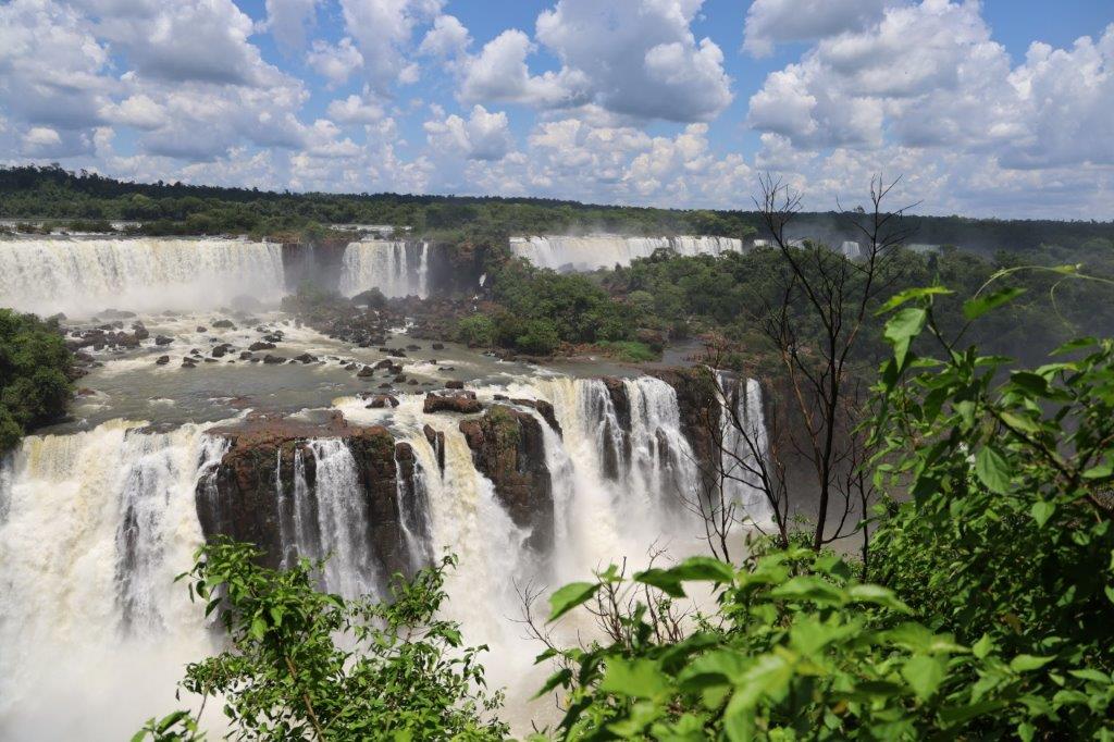
The sheer volumes of water that were cast over Iguazu’s upper edge, first falling down one level then flowing wildly towards rhe next free fall over the second edge, were phenomenal…
Iguaçu National Park is a national park in Paraná State, Brazil. It comprises a total area of 185,262.5 hectares (457,794 acres) and a length of about 420 kilometers (260 mi), 300 kilometers (190 mi) of which are natural borders by bodies of water and the Argentine and Brazilian sides together comprise around 260,000 hectares (640,000 acres). Iguaçu National Park was created by federal decree nr. 1035 of 10 January 1939 and became a UNESCO World Heritage Site in 1986. The park is managed by Chico Mendes Institute for Biodiversity Conservation (ICMBio).
The park shares a border with Iguazú National Park in Argentina. It also has one of the world’s largest waterfalls, extending over some 2,700 meters (8,900 ft). It is home to many rare and endangered species of flora and fauna, among them the giant otter and the giant anteater. The clouds of spray produced by the waterfall are conducive to the growth of lush vegetation.
The Iguaçu National Park owes its name to the fact it includes an important area of the Iguazu River (Portuguese: Rio Iguaçu). Approximately 50 square kilometres (19 sq mi) of the length of the river makes up the Iguaçu Falls.
It is the most important park of the Prata Basin and, since it is a haven to a significant genetic asset of animal and vegetal species, it was the first park in Brazil to receive a Management Plan. As foreseen by Rebouças, the park’s basic goal is the preservation of the highly relevant ecologically and scenic natural ecosystems, thus enabling scientific research and the development of environmental education and interpretation activities, recreation in natural surroundings and the ecological tourism.
The Iguaçu National Park is spectacular as well as pioneering. The first proposal for a Brazilian national park aimed at providing a pristine environment to “future generations”, just as “it had been created by God” and endowed with “all possible preservation, from the beautiful to the sublime, from the picturesque to the awesome” and “an unmatched flora” located in the “magnificent Iguaçu waterfalls”. These were the words used by André Rebouças, an engineer, in his book “Provinces of Paraná, Railways to Mato Grosso and Bolivia”, which started up the campaign aimed at preserving the Iguaçu Falls way back in 1876, when Yellowstone National Park, the first national park on the planet, was four years old.
On November 17, 1986, during the UNESCO conference held in Paris, the Iguaçu National Park was listed as Natural Heritage of Humanity and is one of the largest forest preservation areas in South America.
Iguazu is like an explosion of subtropical nature …
The trails led over the edges of the falls, just before where the water plummets down….
… as well as to the bottom of the falls.
Impressions of Iguazu:
At the Garganta del Diablo, The Gigantic Devil, the uprising cloud of tiny water droplets was highest, as was the roaring sound of the falls …
At the bottom of the trail was this metal walkway accross the water toward the falls…
Now people could walk wearing a rain poncho, over the flowing water to the edge of the falls and look up and down to the falling water ….
Iguazu is almost like an island of southwestern Atlantic rainforest. There are just a few small areas like this left in the world.
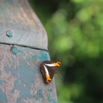
There are some birds in the forest, and coatimundis hang around the shop/cafe areas. But probably the most obvious wildlife are the butterflies. I saw more butterflies here in a short time span and in a smaller area than anywhere else on the planet. The one beneath was quite larger than the rest and hiding in a corridor near the elevator, like hiding in a cave…
It is one of Nature’s world wonders…
The view below shows the 2nd step down…
There were areas where The Wandelgek felt like he was surrounded by waterfalls as far as his eyes could see.
It was still Spring and the amounts of water coming down were gigantic and much more than he had seen at Victoria Falls…
It is funny to see how tranquil the water is before the deep plunge and how sudden that changes…
…. and the waters change into white water rapids …
Iguazú Falls or Iguaçu Falls are waterfalls of the Iguazu River on the border of the Argentine province of Misiones and the Brazilian state of Paraná. Together, they make up the largest waterfall system in the world. The falls divide the river into the upper and lower Iguazu. The Iguazu River rises near the heart of the city of Curitiba. For most of its course, the river flows through Brazil; however, most of the falls are on the Argentine side. Below its confluence with the San Antonio River, the Iguazu River forms the border between Argentina and Brazil.
The name Iguazú comes from the Guarani or Tupi words “y“, meaning “water”, and “ûasú“, meaning “big”. Legend has it that a deity planned to marry a beautiful woman named Naipí, who fled with her mortal lover Tarobá in a canoe. In a rage, the deity sliced the river, creating the waterfalls and condemning the lovers to an eternal fall. The first European to record the existence of the falls was the Spanish Conquistador Álvar Núñez Cabeza de Vaca in 1541.
The staircase character of the falls consists of a two-step waterfall formed by three layers of basalt. The steps are 35 and 40 metres (115 and 131 ft) in height. The columnar basalt rock sequences are part of the 1,000-metre-thick (3,300 ft) Serra Geral formation within the Paleozoic-Mesozoic Paraná Basin. The tops of these sequences are characterized by 8–10 m (26–33 ft) of highly resistant vesicular basalt and the contact between these layers controls the shape of the falls. Headwater erosion rates are estimated at 1.4–2.1 cm/year (0.55–0.83 in/year). Numerous islands along the 2.7-kilometre-long (1.7 mi) edge divide the falls into many separate waterfalls and cataracts, varying between 60 and 82 m (197 and 269 ft) high. The number of these smaller waterfalls fluctuates from 150 to 300, depending on the water level. About half of the river’s flow falls into a long and narrow chasm called the Devil’s Throat (Garganta del Diablo in Spanish or Garganta do Diabo in Portuguese).
The Devil’s Throat canyon is 80–90 m (260–300 ft) wide and 70–80 m (230–260 ft) deep. Left of this canyon, another part of the river forms 160–200 individual falls, which merge into a single front during the flood stage. The largest falls are named San Martín, Adam and Eva, Penoni, and Bergano.
About 900 m (2,950 ft) of the 2.7 km (1.7 mi) length does not have water flowing over it. The water of the lower Iguazu collects in a canyon that drains into the Paraná River, a short distance downstream from the Itaipu Dam. The junction of the water flows marks the border between Brazil, Argentina, and Paraguay. Some points in the cities of Foz do Iguaçu, Brazil, Puerto Iguazú, Argentina, and Ciudad del Este, Paraguay, have access to the Iguazu River, where the borders of all three nations may be seen, a popular tourist attraction for visitors to the three cities.
The Iguazu Falls are arranged in a way that resembles a reversed letter “J”. The Argentina–Brazil border runs through the Devil’s Throat. On the right bank is the Brazilian territory, which is home to more than 95% of the Iguazu River basin but has just over 20% of the jumps of these falls, and the left side jumps are Argentine, which make up almost 80% of the falls.
The falls may be reached from two main towns, with one on either side of the falls: Foz do Iguaçu in Brazil and Puerto Iguazú in Argentina, as well as from Ciudad del Este, Paraguay, on the other side of the Paraná River from Foz do Iguaçu, each of those three cities having commercial airports. The falls are shared by the Iguazú National Park (Argentina) and Iguaçu National Park (Brazil). The two parks were designated UNESCO World Heritage Sites in 1984 and 1986, respectively.
The first proposal for a Brazilian national park aimed at providing a pristine environment to “future generations”, just as “it had been created by God” and endowed with “all possible preservation, from the beautiful to the sublime, from the picturesque to the awesome” and “an unmatched flora” located in the “magnificent Iguaçu waterfalls”. These were the words used by André Rebouças, an engineer, in his book Provinces of Paraná, Railways to Mato Grosso and Bolivia, which started up the campaign aimed at preserving the Iguaçu Falls in 1876. At this time, Yellowstone National Park in the US, the first national park in the world, was four years old.
On the Brazilian side, a walkway along the canyon has an extension to the lower base of Devil’s Throat. Helicopter rides offering aerial views of the falls have been available from Brazil, but Argentina has prohibited such helicopter tours because of the adverse environmental impact on the flora and fauna of the falls. From Foz do Iguaçu airport, the park may be reached by taking a taxi or bus to the entrance of the park. Their park has an entrance fee on both sides. Once inside, free and frequent buses are provided to various points within the park. The town of Foz do Iguaçu is about 20 km (12 mi) away, and the airport is between the park and the town.
The Argentine access, across the forest, is by a Rainforest Ecological Train very similar to the one in Disney’s Animal Kingdom. The train brings visitors to the entrance of Devil’s Throat, as well as the upper and lower trails. The Paseo Garganta del Diablo is a 1 km-long (0.6 mi) trail that brings visitors directly over the falls of Devil’s Throat, the highest and deepest of the falls. Other walkways allow access to the elongated stretch of falls across the forest on the Argentine side and to the boats that connect to San Martin Island. Also on the Argentine side, inflatable boat services take visitors very close to the falls.
The Brazilian transportation system aims at allowing an increase in the number of visitors, while reducing the adverse environmental impact, through an increase in the average number of passengers per vehicle inside the park. The new transportation system has a 72-passenger capacity and panoramic-view, double-deck buses.
After having visited the walkways and platforms spread along the trail …
… there was at the very end, near the elevator, one last really spectacular viewpoint, which brings you almost next to the Garganta Diablo.
At the restaurant at the very end of the trail you’ll get a very good meal and can enjoy an amazing view over this spectacle of nature …
There’s all kinds of vegetables, meat, potatoes, cheese, egg, etcetera and of course drinks like e.g. a cold beer.
The temperature at the falls was between 35 and 37 degrees Celsius which is really warm. The air is very moist so you’ll have difficulties getting rid of that heat. A large, cool beer was very welkome.
Enjoying my well deserved pint of weizen beer …
… while enjoying the view over the Iguazu river just before it reaches the falls …
After lunch The Wandelgek left the falls.


