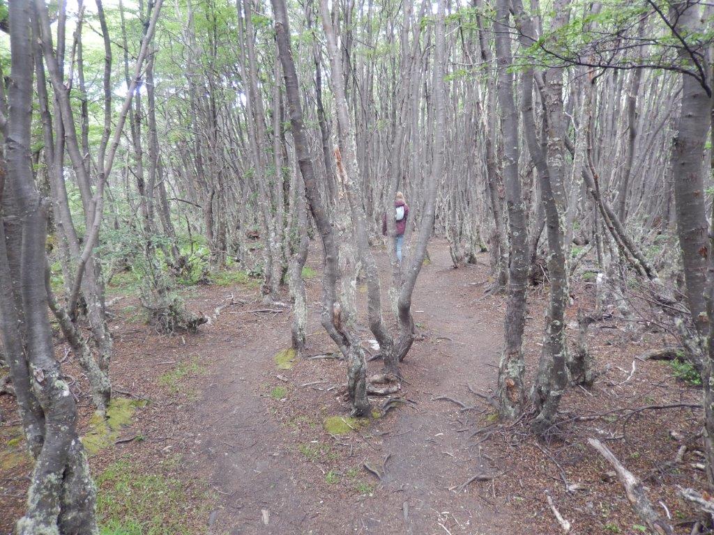
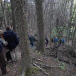
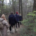
40. Argentina: Walking through primeval southern beech forest (Tierra del Fuego National Park)
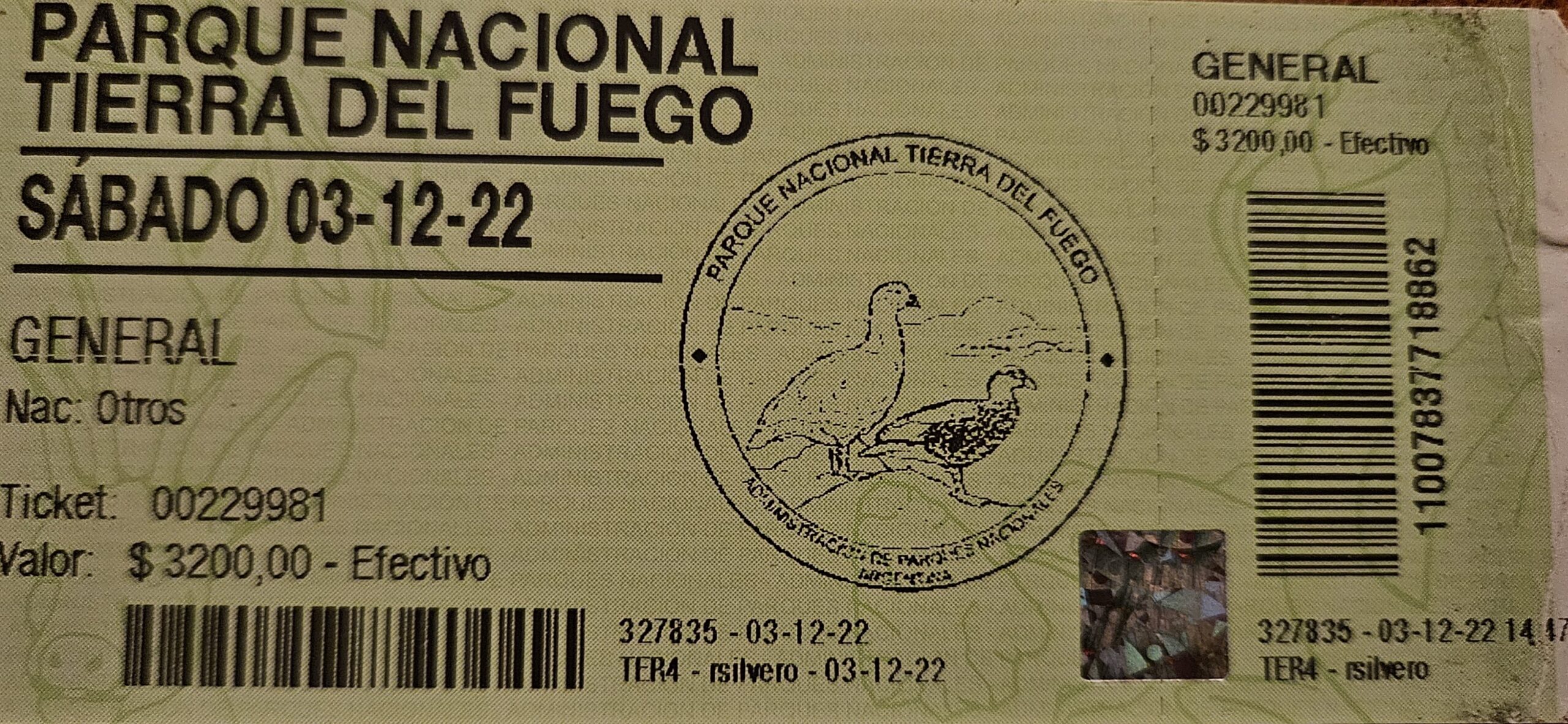
Tierra del Fuego National Park
The Wandelgek drove to the borders of the nearby Tierra del Fuego National Park.
Almost immediately after leaving Ushuaia, the landscape changes into an area of bush/forest land. The trees are not that high though like seen before in the northern lake district and scarser than seen before in the southern lake district. Less trees and lower trees.
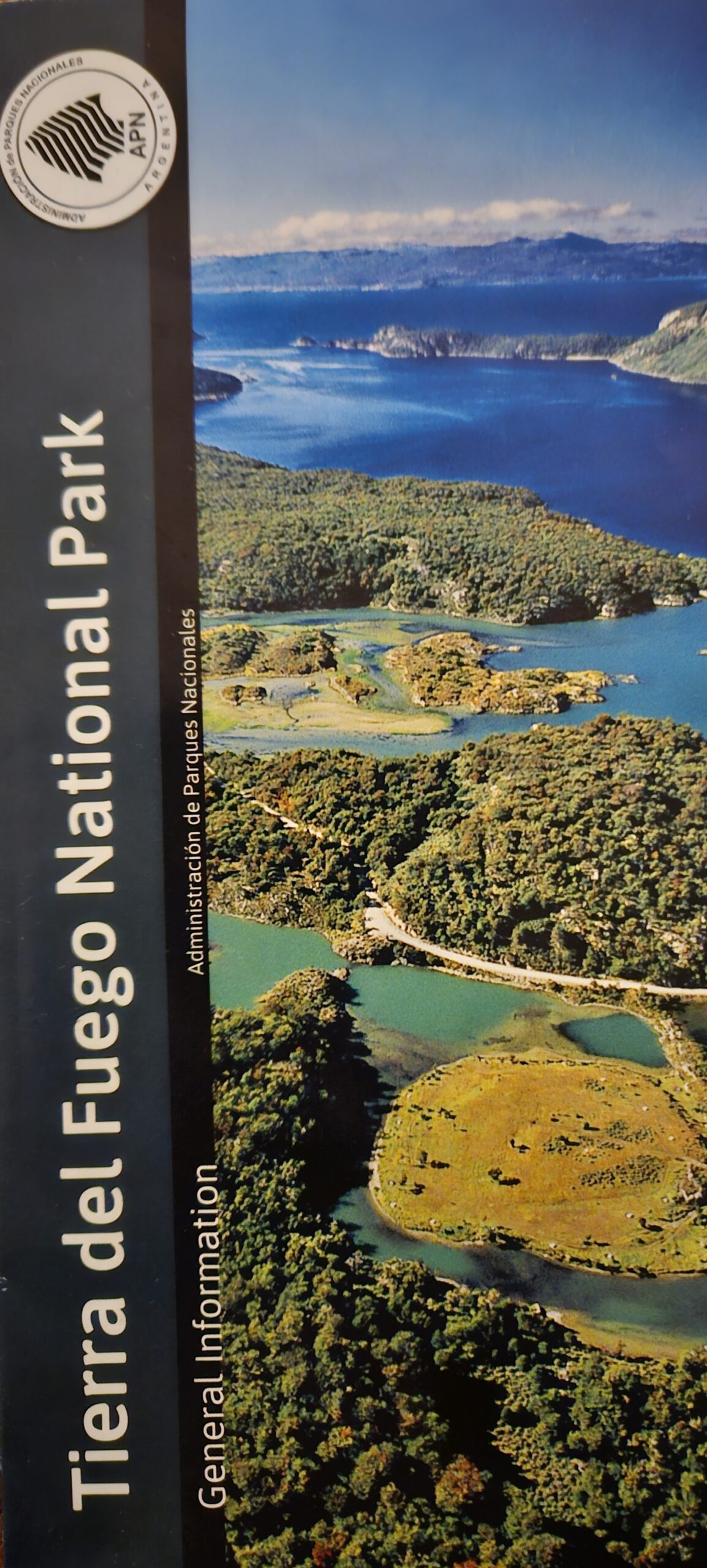
Tierra del Fuego National Park is a national park on the Argentine part of the island of Tierra del Fuego, within Tierra del Fuego Province in the ecoregion of Patagonic Forest and Altos Andes, a part of the subantarctic forest. Established on 15 October 1960 under the Law 15.554 and expanded in 1966, it was the first shoreline national park to be established in Argentina.
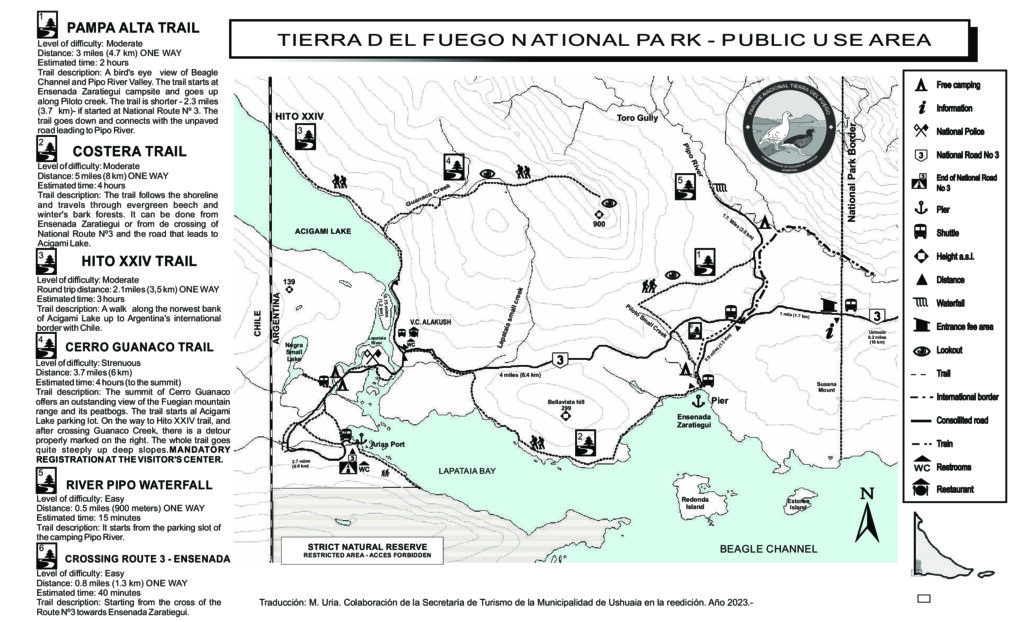
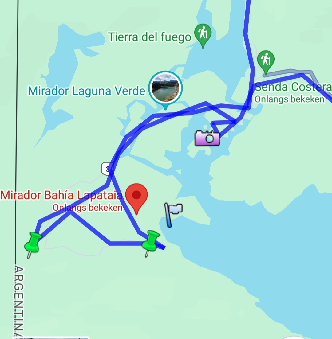
From the park’s entrance, The Wandelgek first drove towards V.C. Alakush from where he walked a trail towards Mirador Bahia Lapataia.
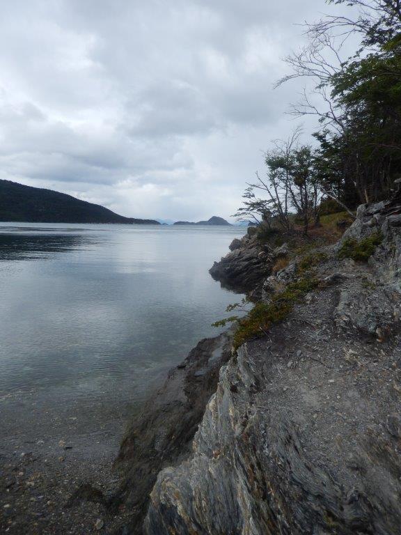
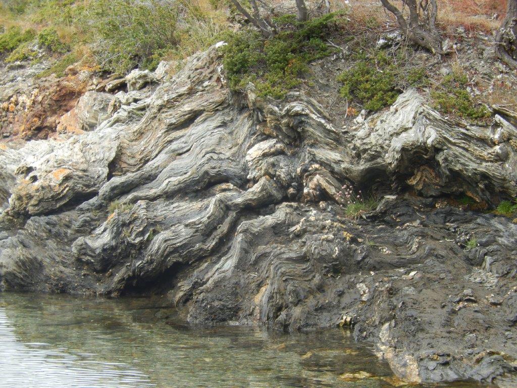
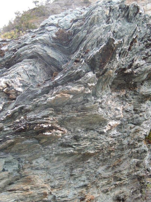
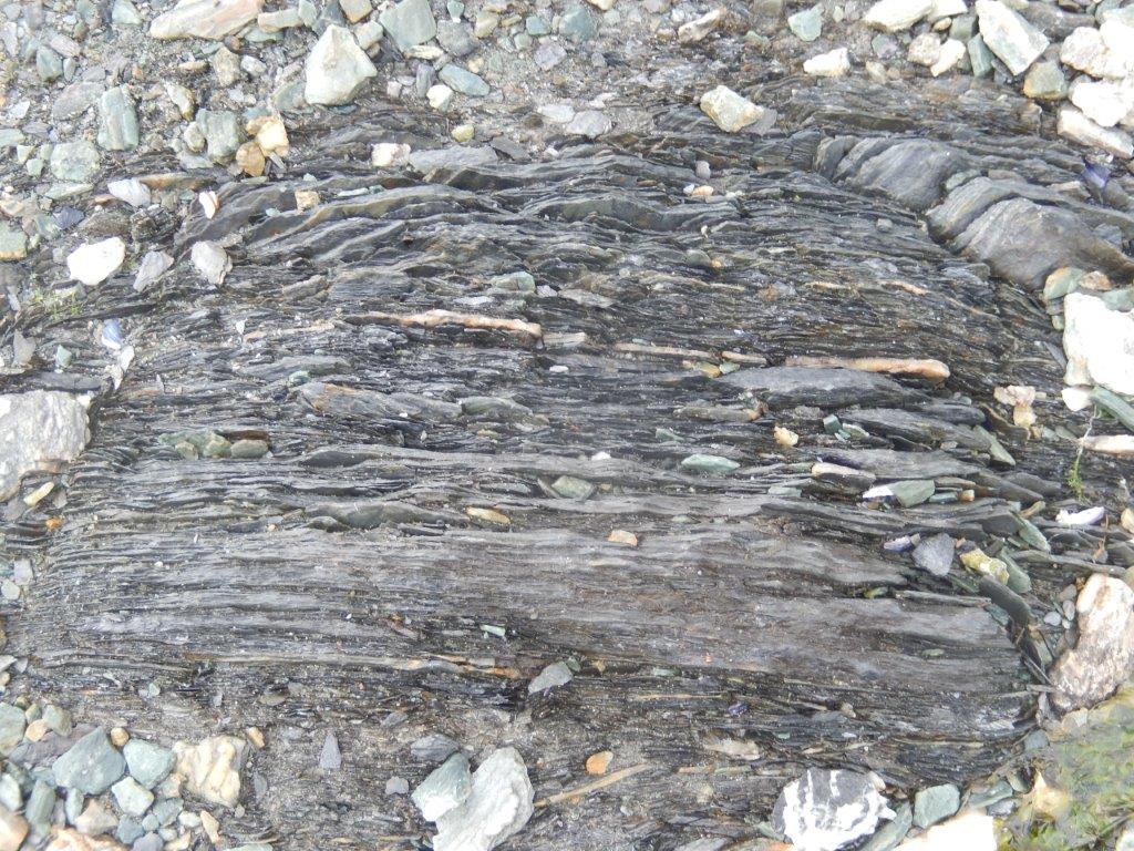
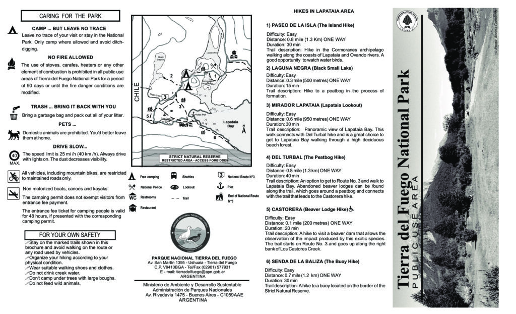 One of the most interesting short trails near the visitors center. Cliffs are close to the trail edge and show some interesting rock formations and vegetation, and great views of nearby mountains.8
There was still a bit of sunshine, but overall the skies were quite cloudy and grey…
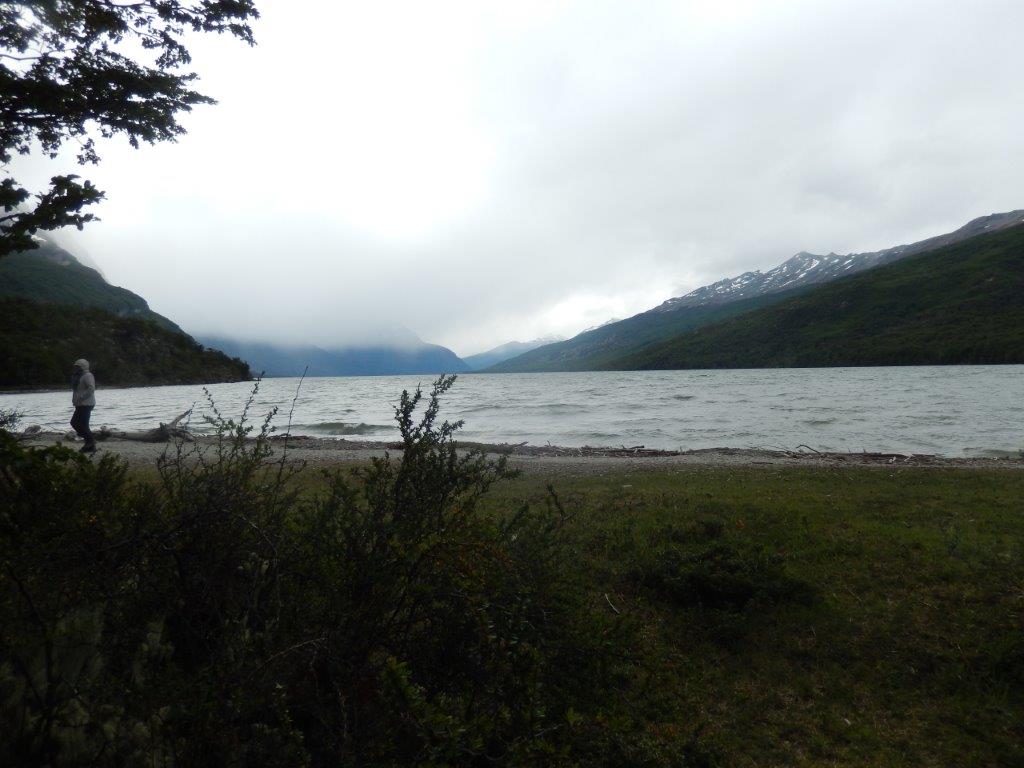
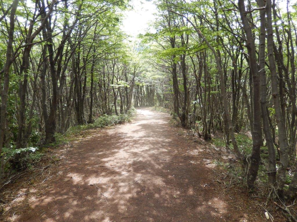 This southernmost protected area of Argentina protects Andean-Patagonian forests that witness the meeting of the final stretch of the Andes Mountains with the sea in the Beagle Channel, which connects the Atlantic and South Pacific oceans.
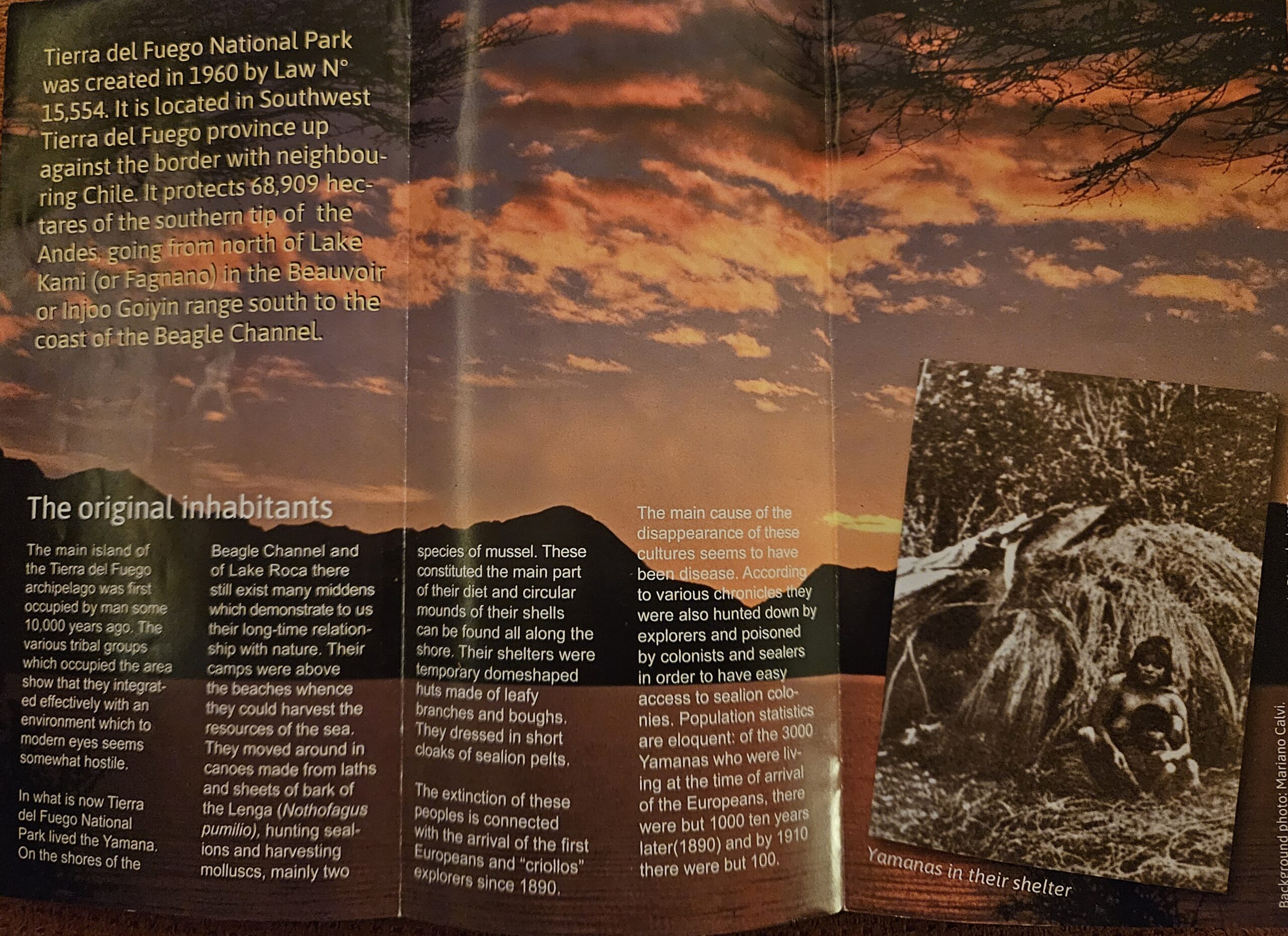
The Tierra del Fuego (land of fires), whose name was given by explorers when they saw the bonfires lit by the original inhabitants of the island, the Yámanas, is more than its exceptional beauty: it is a gateway for excursions to Antarctica and an adventure in itself that leaves no one indifferent.
A striking landscape made up of lakes, valleys, extensive peat bogs and an exclusive site in our country where the Patagonian forests reach the sea coast. This includes Lapataia Bay, the only Argentine fjord in the Beagle Channel, and Zaratiegui Cove.
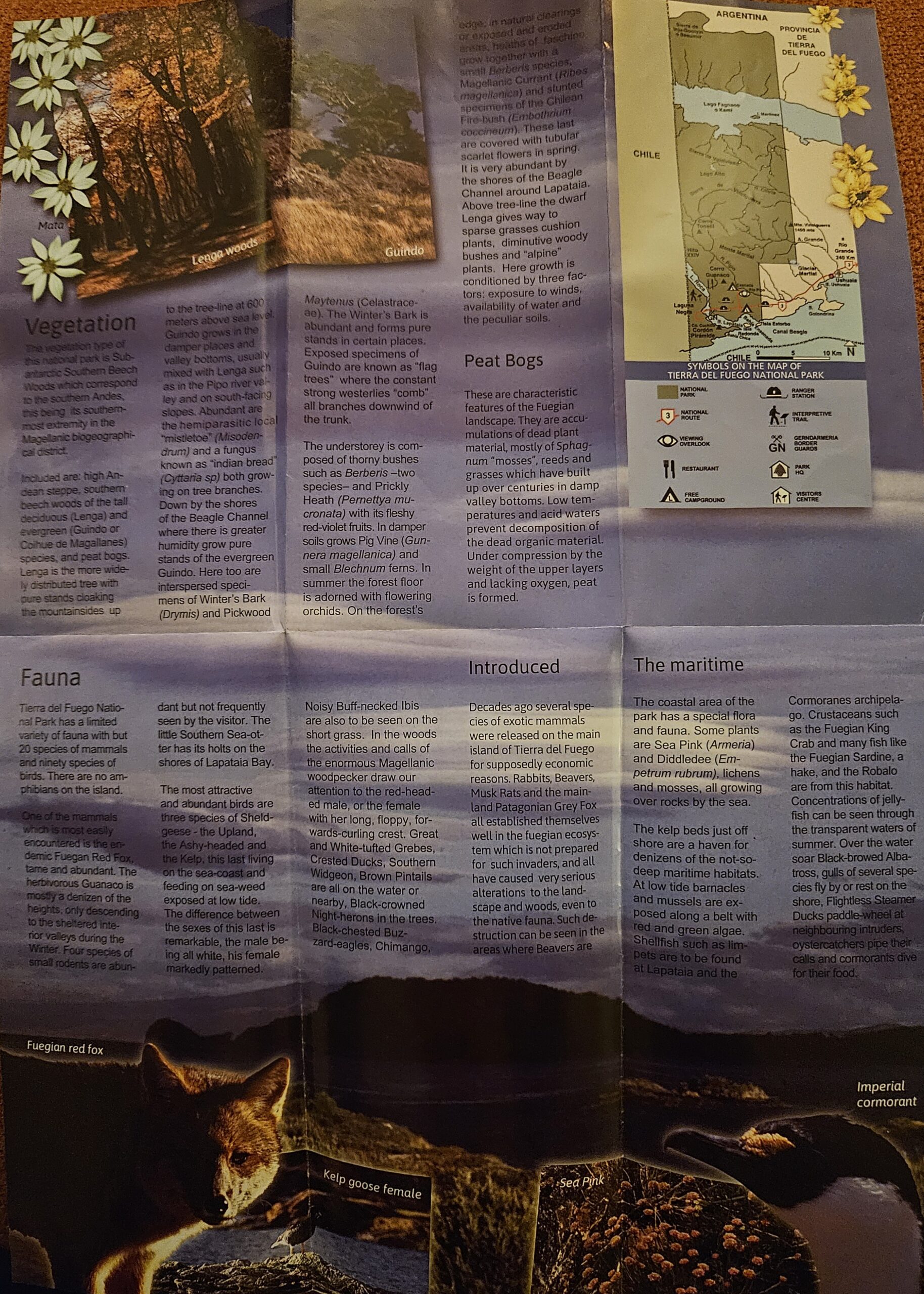
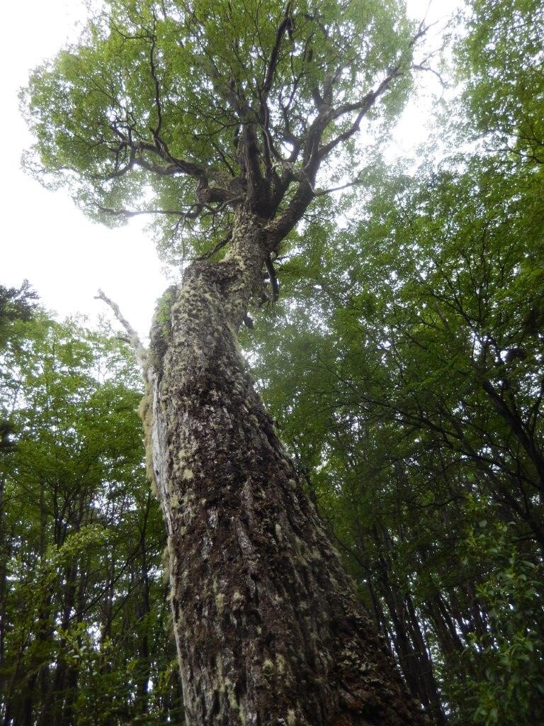 The Park’s forests are made up mainly of lengas, which turn intense red in autumn. In more humid sectors they are integrated with the cinnamon and the cherry or cohiue de Magallanes, whose leaves do not fall in winter.
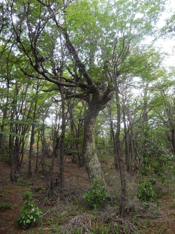 On the edges of the moss bogs, ñires develop. Mammals such as the guanaco , the huillín , and the Fuegian red fox live there.
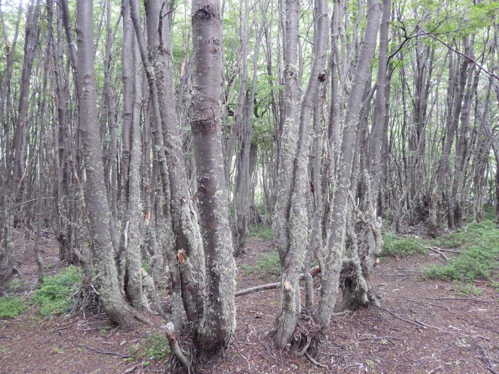
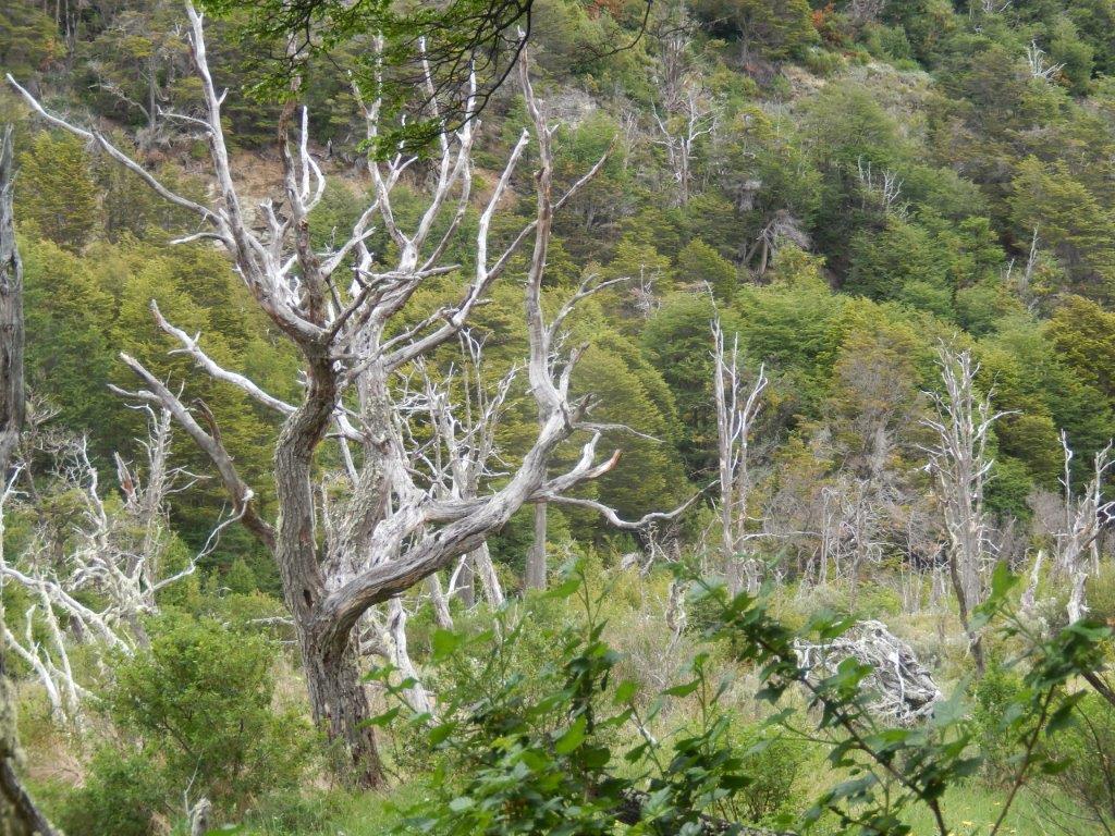
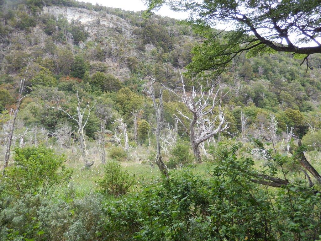
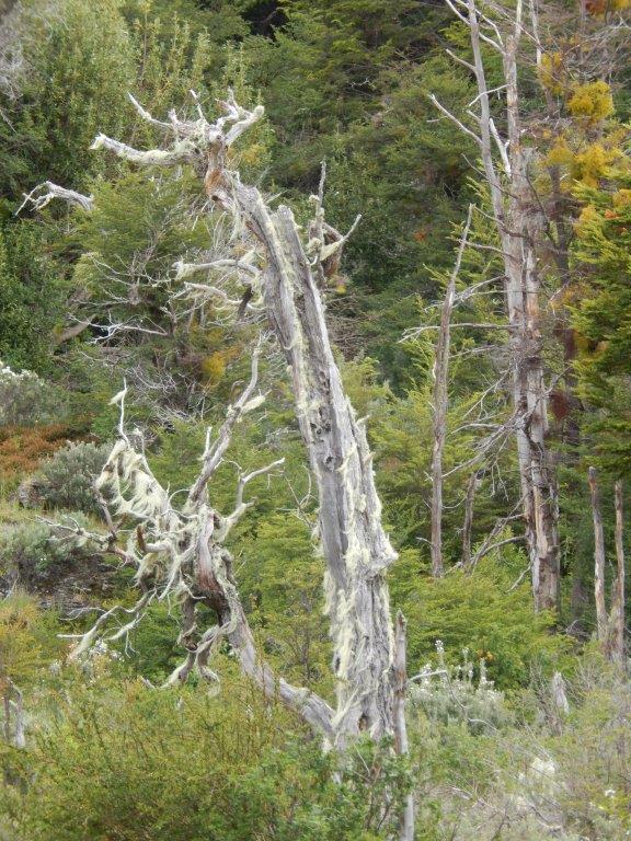
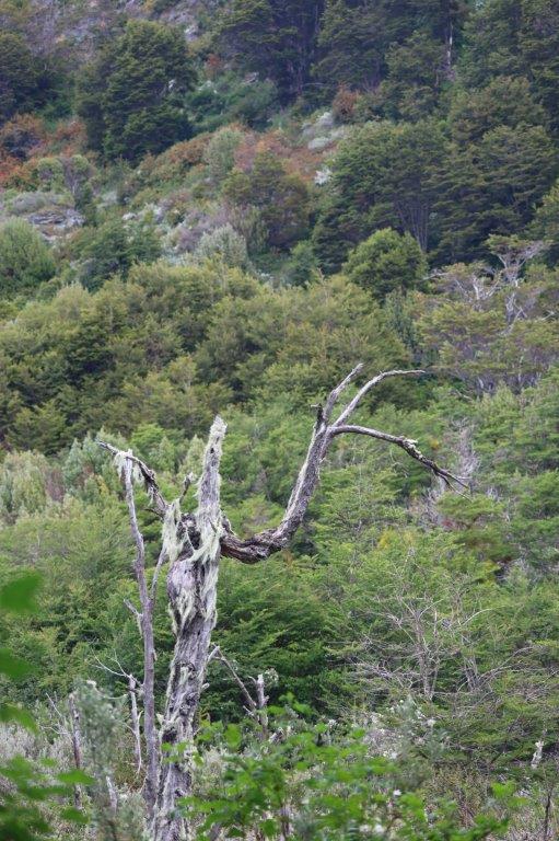
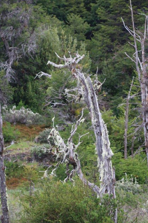
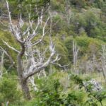
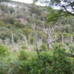
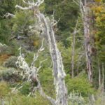
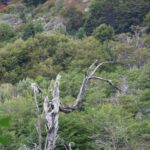
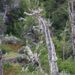
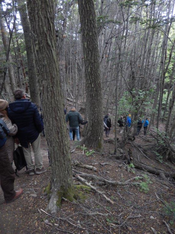
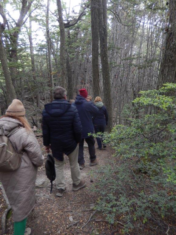
Where they are still intact, and the National Park is such a place, the southern beech forests have a sombre and otherworldly feel. The winds this far south can be fierce and unrelenting, something The Wandelgek had already experienced in Chile’s Torres del Paine National Park, and growth is a slow business, with bleached branches showing where trees have lost their battle against the elements…
Associated with the water and its coasts are the caranca, the black-browed albatross, the quetro, oystercatchers, seagulls and macaes. In the forests and surrounding areas, the cachaña, the giant woodpecker, the pintail and the Patagonian thrush are some of the species present.
Mirador Bahia Lapataia
It is literally the last point where you can drive to on the American continent.
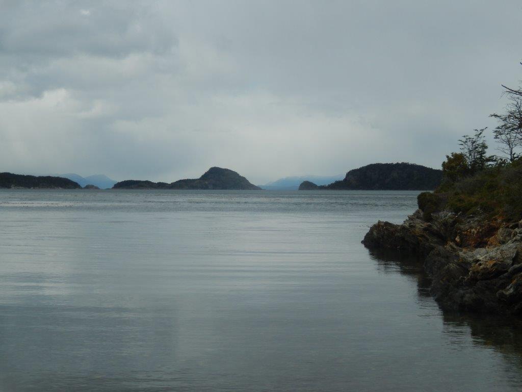
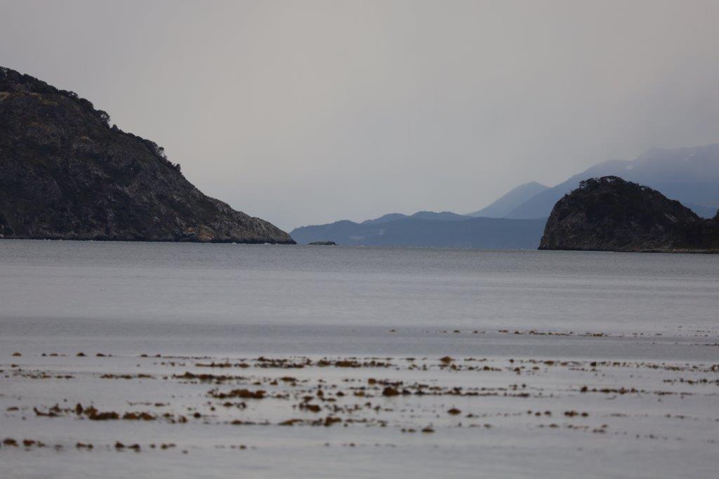
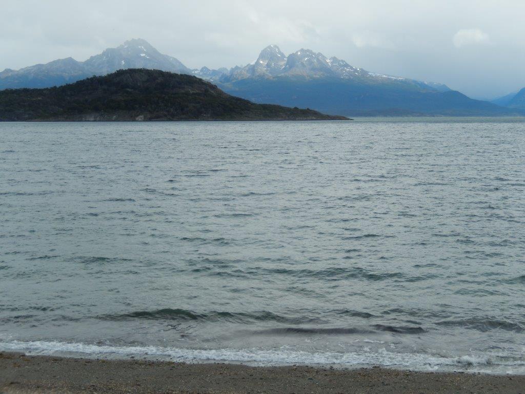
It’s great standing there facing the ocean and the islands, knowing that Antarctica is the next mainland destination. In between are just a few islands south of the Argentine mainland.
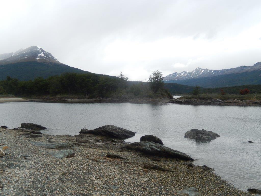
There were islands with trees and some of the surrounding snowcapped Andes mountains were visible. There was surprisingly not much wind and the water was almost as smooth as a mirror. There were a few ripples, otherwise the mountains would have mirrored beautifully in the water.
But the weather was changing. There were more clouds and the wind did get a bit stronger.
I loved the views that became a bit hazy, caused by the low mist like clouds…
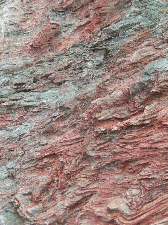
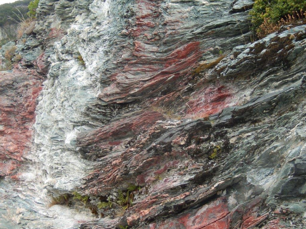
There were some strange red colored rocks near the shore…
After a while The Wandelgek walked into the forest again to try and spot some birds or maybe even animals.
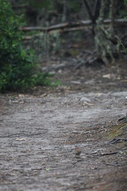
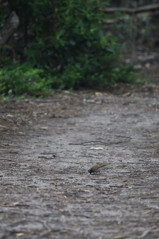
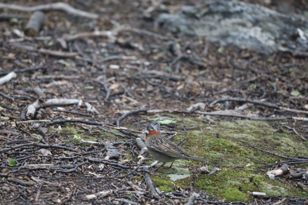
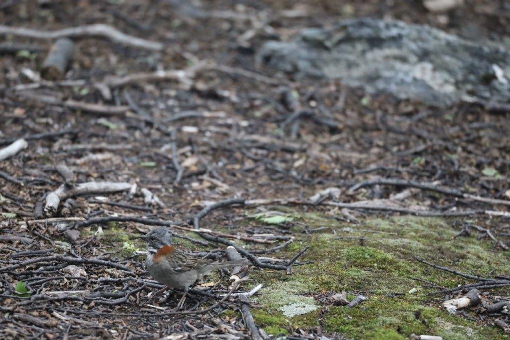
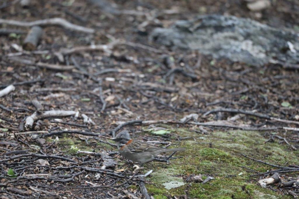
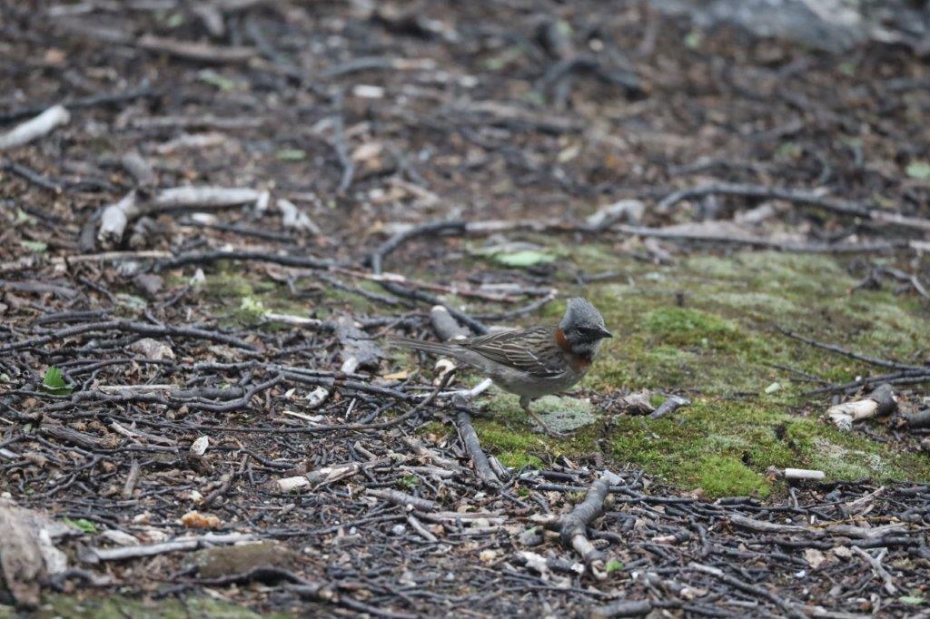
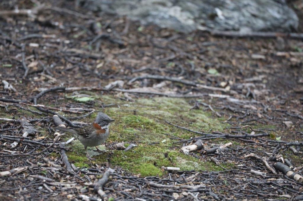
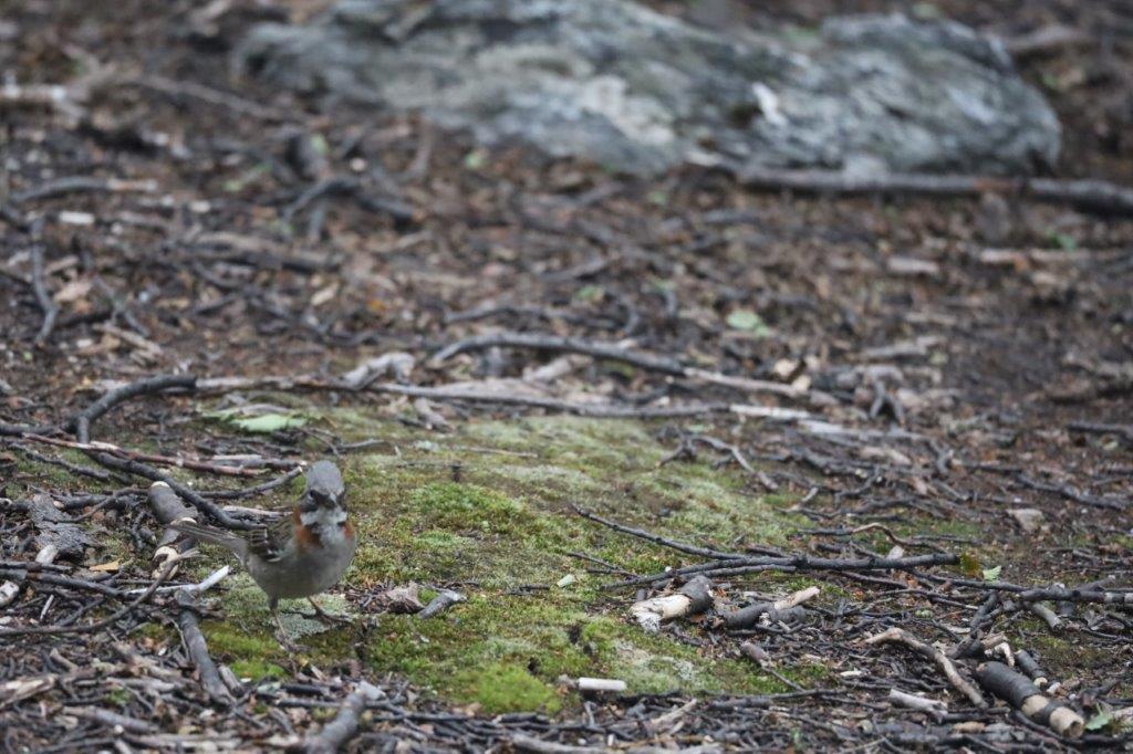
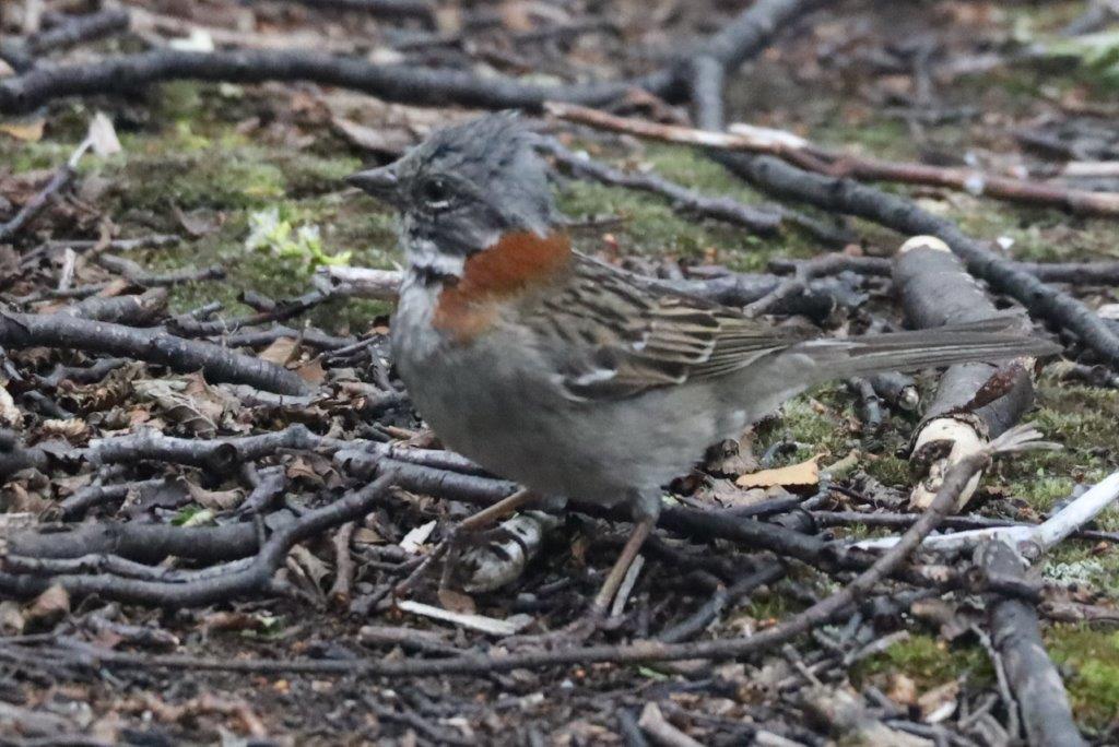
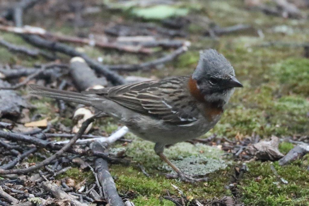
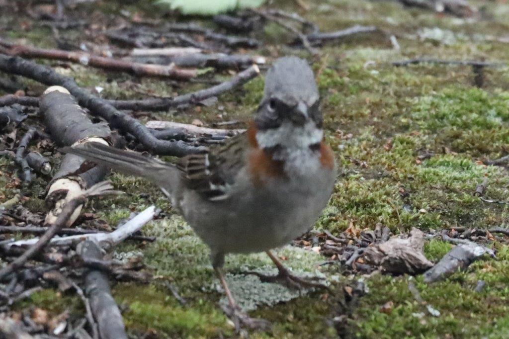
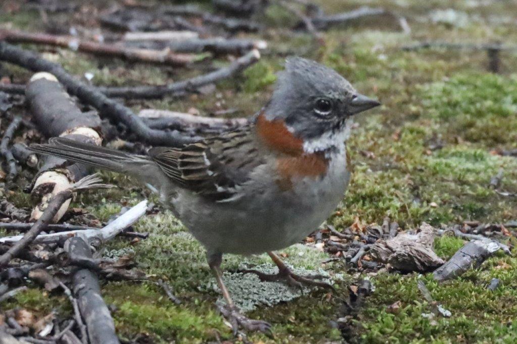
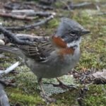
The first bird, that The Wandelgek encountered was the:
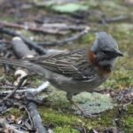
Rufous-collared Sparrow or Andean Sparrow (Zonotrichia capensis)
It is an American sparrow found in a wide range of habitats, often near humans, from the extreme south-east of Mexico to Tierra del Fuego, and the island of Hispaniola (split between the Dominican Republic and Haiti) in the Caribbean. It has diverse vocalizations, which have been intensely studied since the 1970s, particularly by Paul Handford and Stephen C. Lougheed (UWO), Fernando Nottebohm (Rockefeller University) and Pablo Luis Tubaro (UBA). Local names for this bird include the Portuguese tico-tico, the Spanish copetón (“tufted”) in Colombia, as well as chingolo and chincol, and comemaíz “corn eater” in Costa Rica.
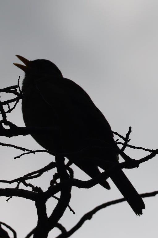
Sometimes its simply too hard to identify a bird ;-). My educated guess would be that this is a Blackbird 😀
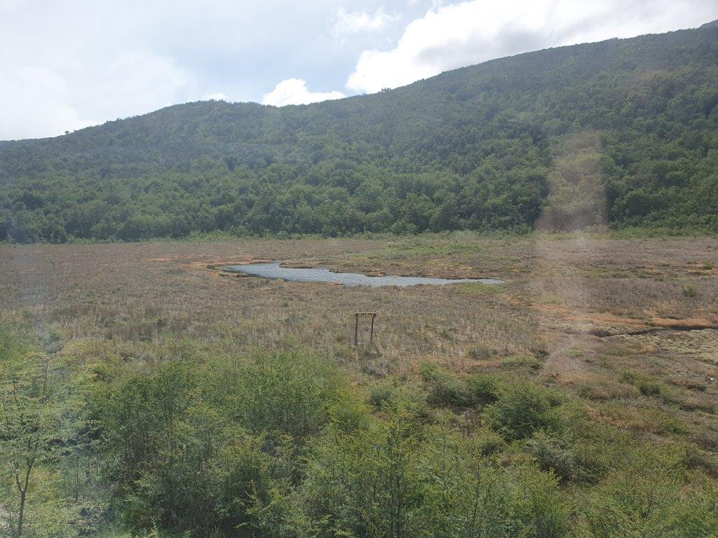
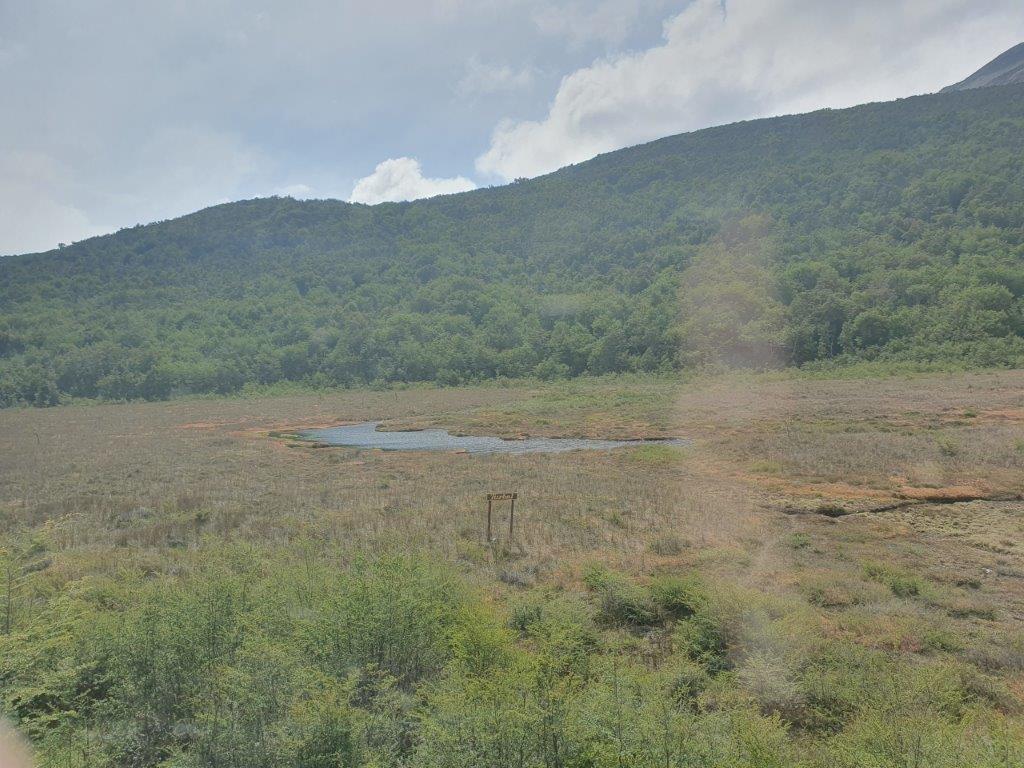
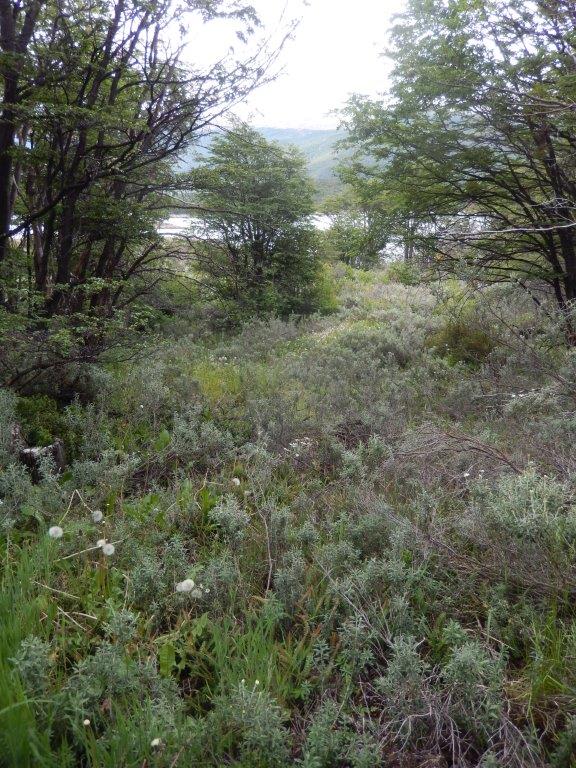
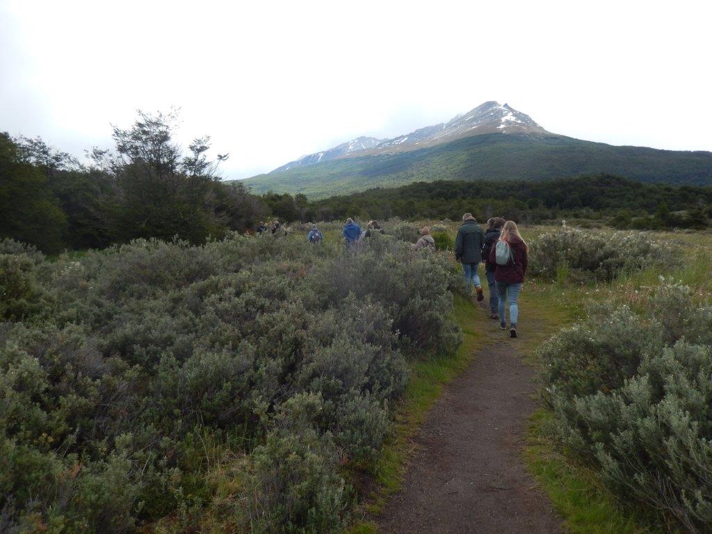
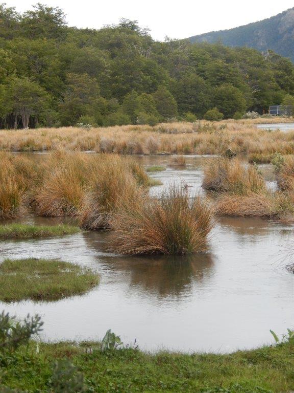
The Wandelgek walked on through a more boglike landscape with almost no trees…
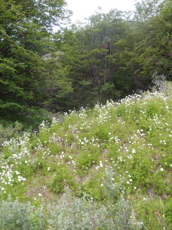
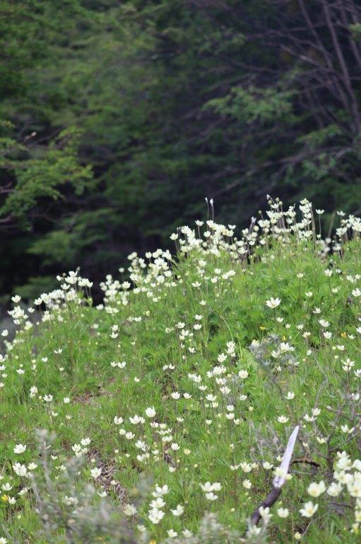
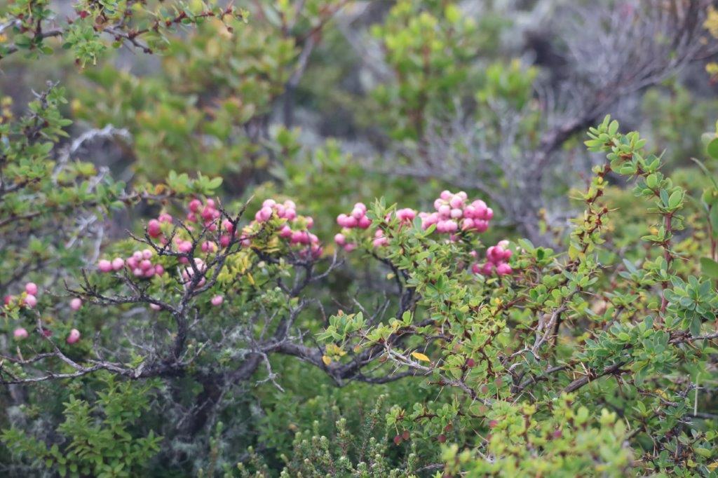
There were mostly low scrubs or bushes, some carrying small but pretty flowers as a reminder that Spring had also arrived in these desolate, marooned areas far south.
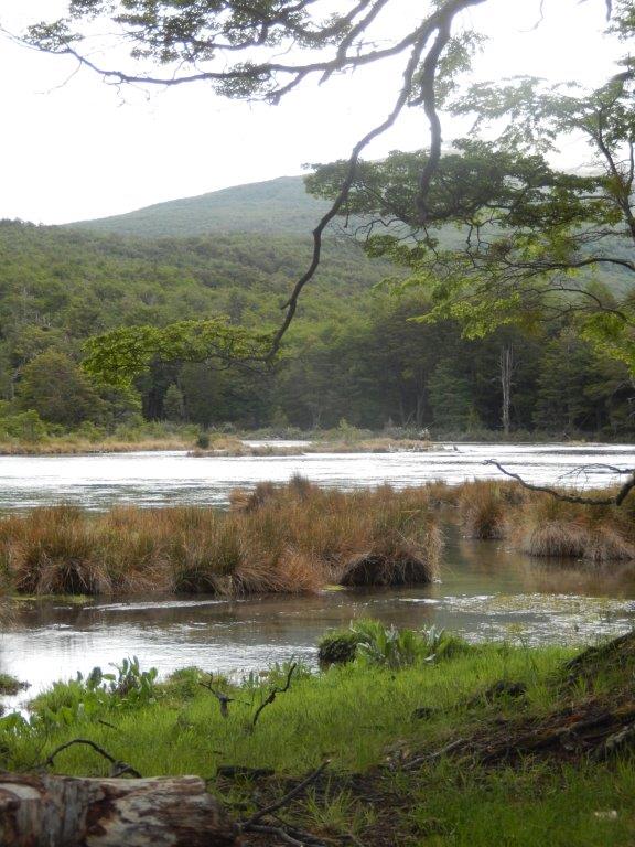
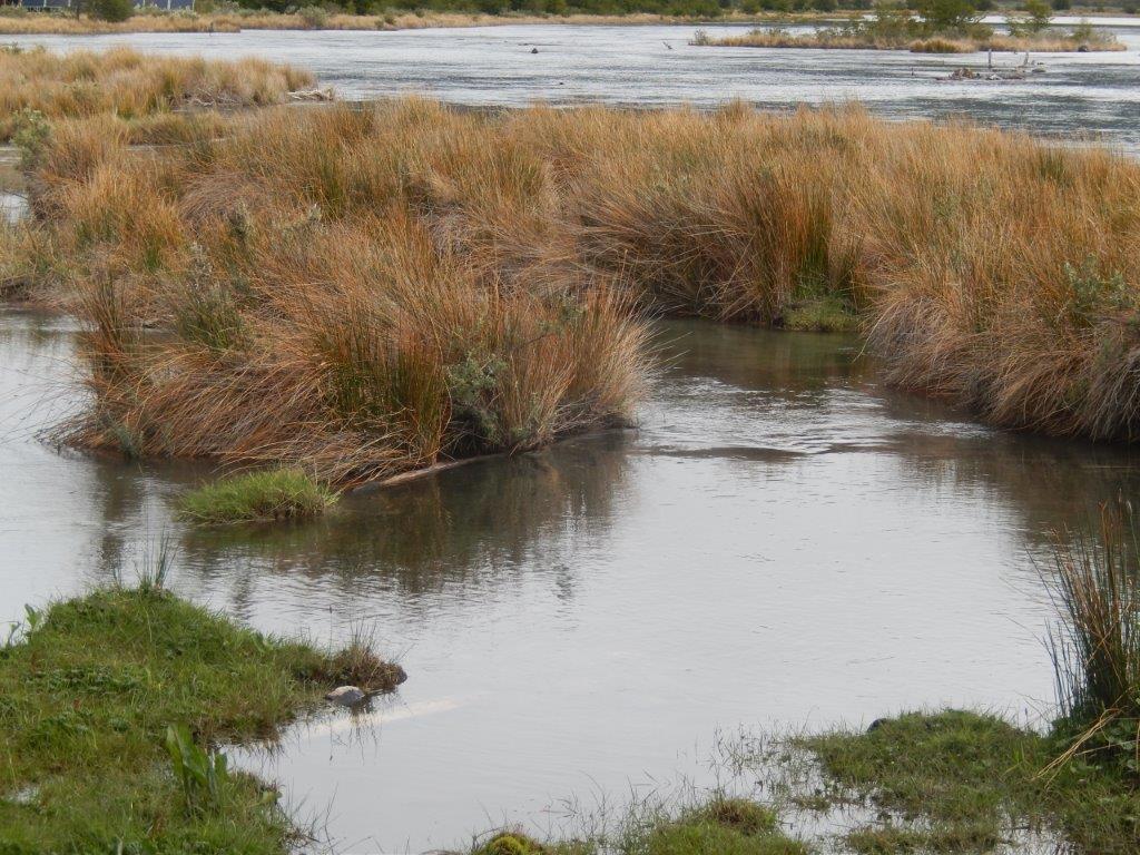
Then The Wandelgek arrived in an area with water pools, partly surrounded by reeds. This was the
Laguna Verde
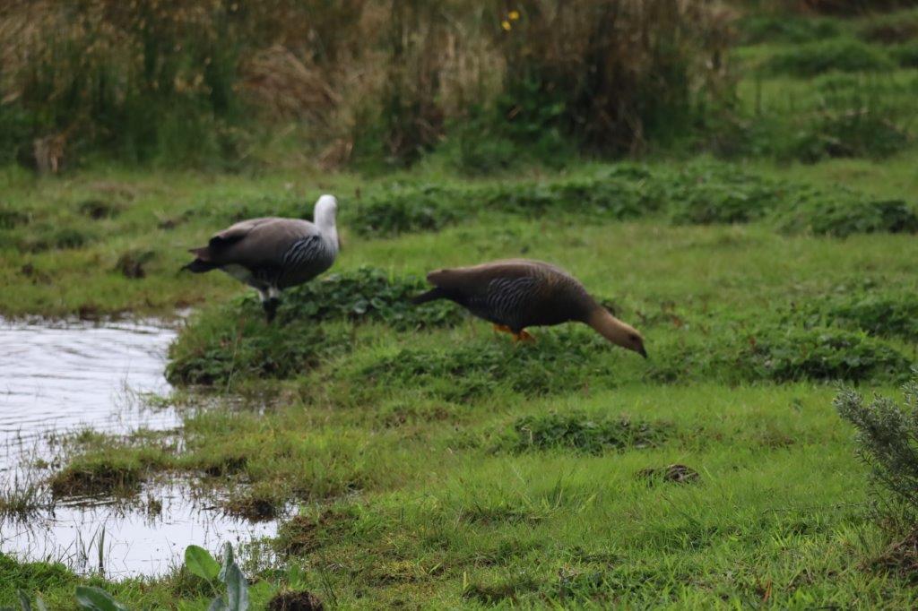
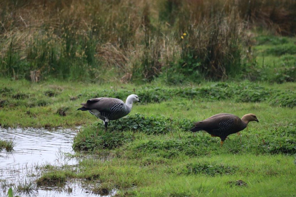
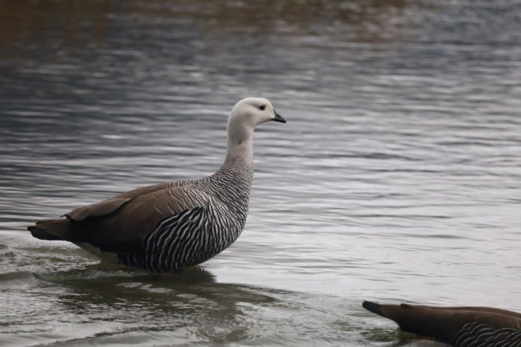
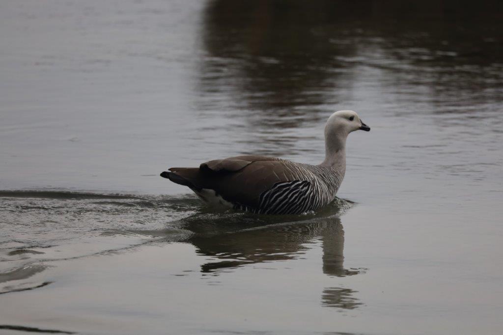
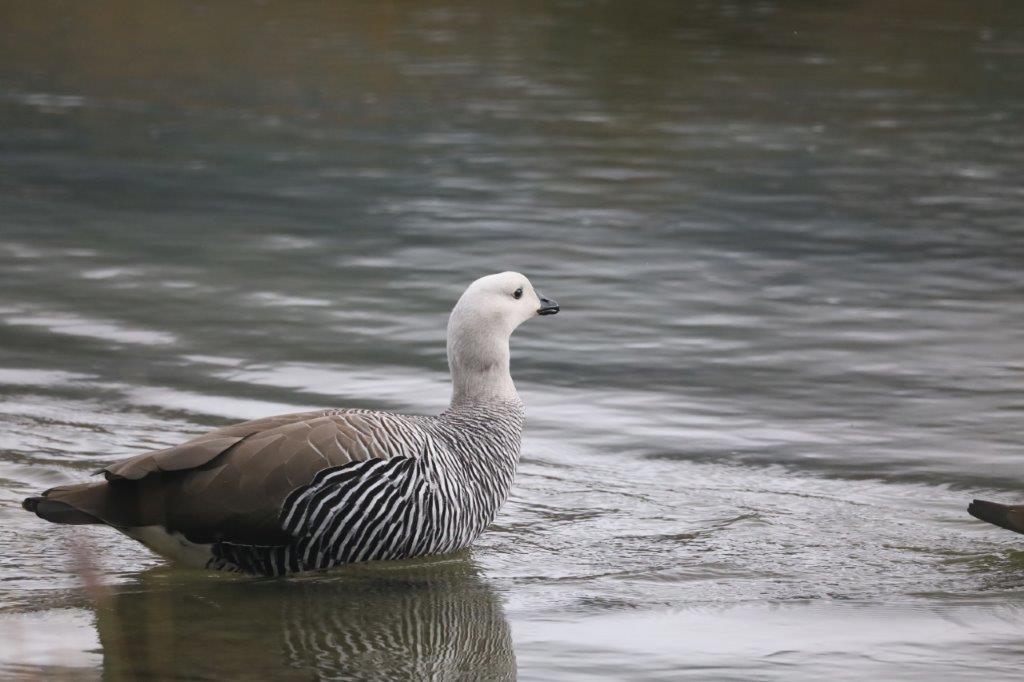
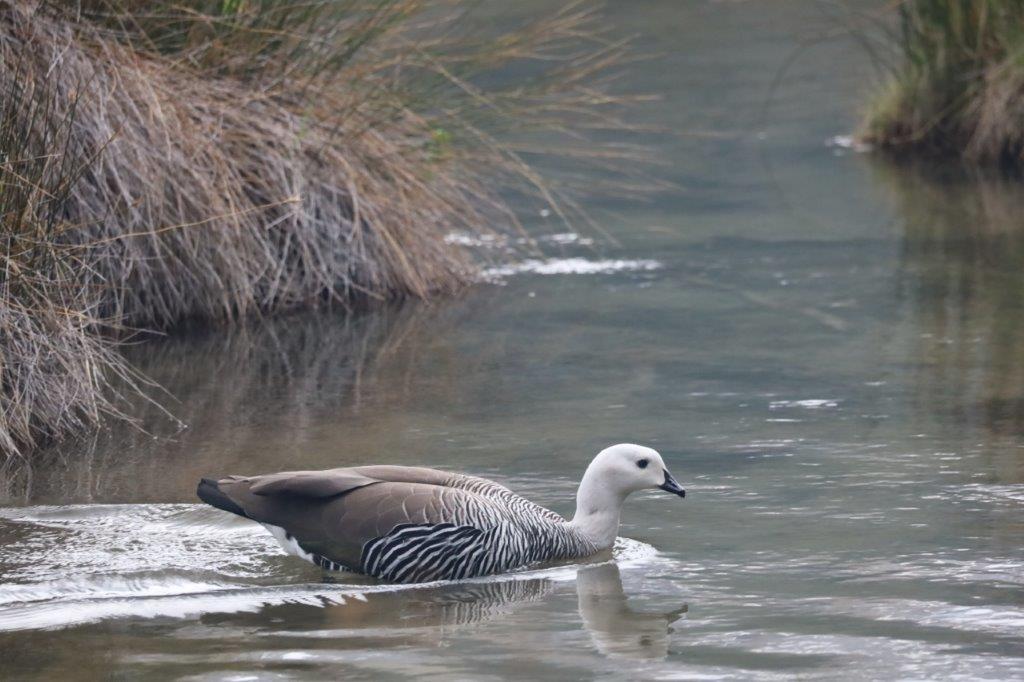
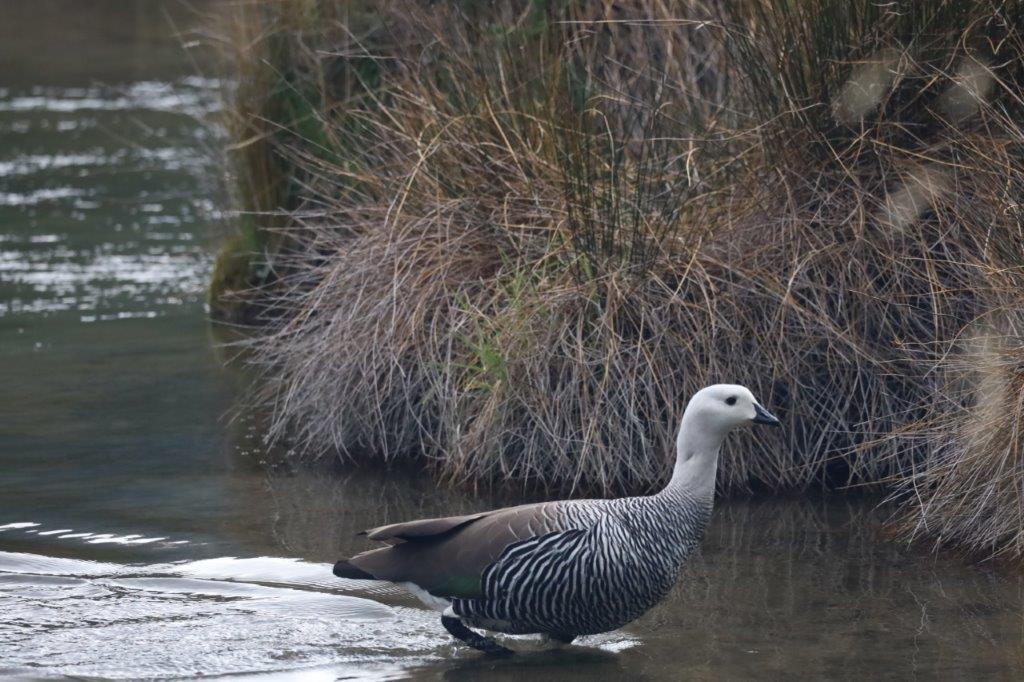
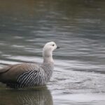
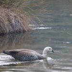
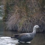
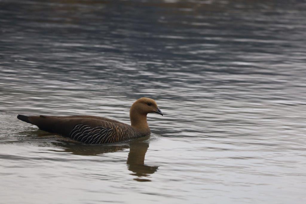
Upland Goose
This species nests and breeds close to water (rivers, ponds, oceans) either on the ground or near it among vegetation, usually in grasslands or coastal meadows in the Falkland Islands or in southern Patagonia and Tierra del Fuego at the beginning of the austral summer. Population estimates suggest the insular subpopulations are stable, but continental populations show a recent decline in abundance. Upland geese are herbivores, specializing in plant leaves, stems and seeds.
The males are white…
… the females are red brown…
These reeds are an ideal place to build nests and get young ones in a sheltered environment…
The Wandelgek began his walk through the forest back to the park’s entrance…
Then he drove back towards the park entrance, but turned right at a road crossing and drove towards…
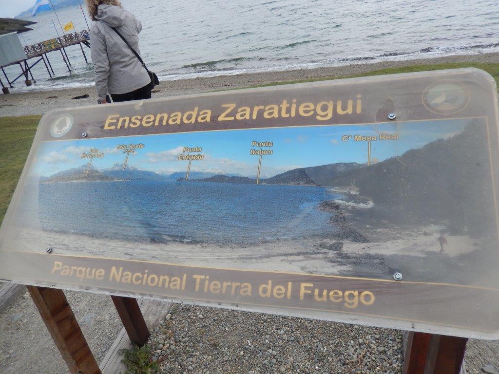
Zaratiegui Cove
Bahía Lapataia is a bay located on the Beagle Channel in Tierra del Fuego National Park, Province: Tierra del Fuego, Argentina. Here is the end of the National Route No. 3 (Ruta Nacional Nº 3) of Argentina. It is also the end of the Panamerican Highway which starts in Alaska, way up north. Quite an iconic place..
Ensenada Zaratiegui Bay, also called simply Ensenada Bay, is a bay on the northern bank of the Beagle Channel (part of Lapataia Bay, at the southwestern end of the Argentine sector of the Big Island of Tierra del Fuego, belonging to the Ushuaia Department of the Province of Tierra del Fuego, Antarctica and South Atlantic Islands. It is surrounded by Magellanic forests belonging to the Tierra del Fuego national park, although technically it is located outside of it.
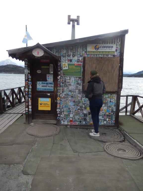
At Zaratiegui Cove, where the southernmost Post Office in the World is located.
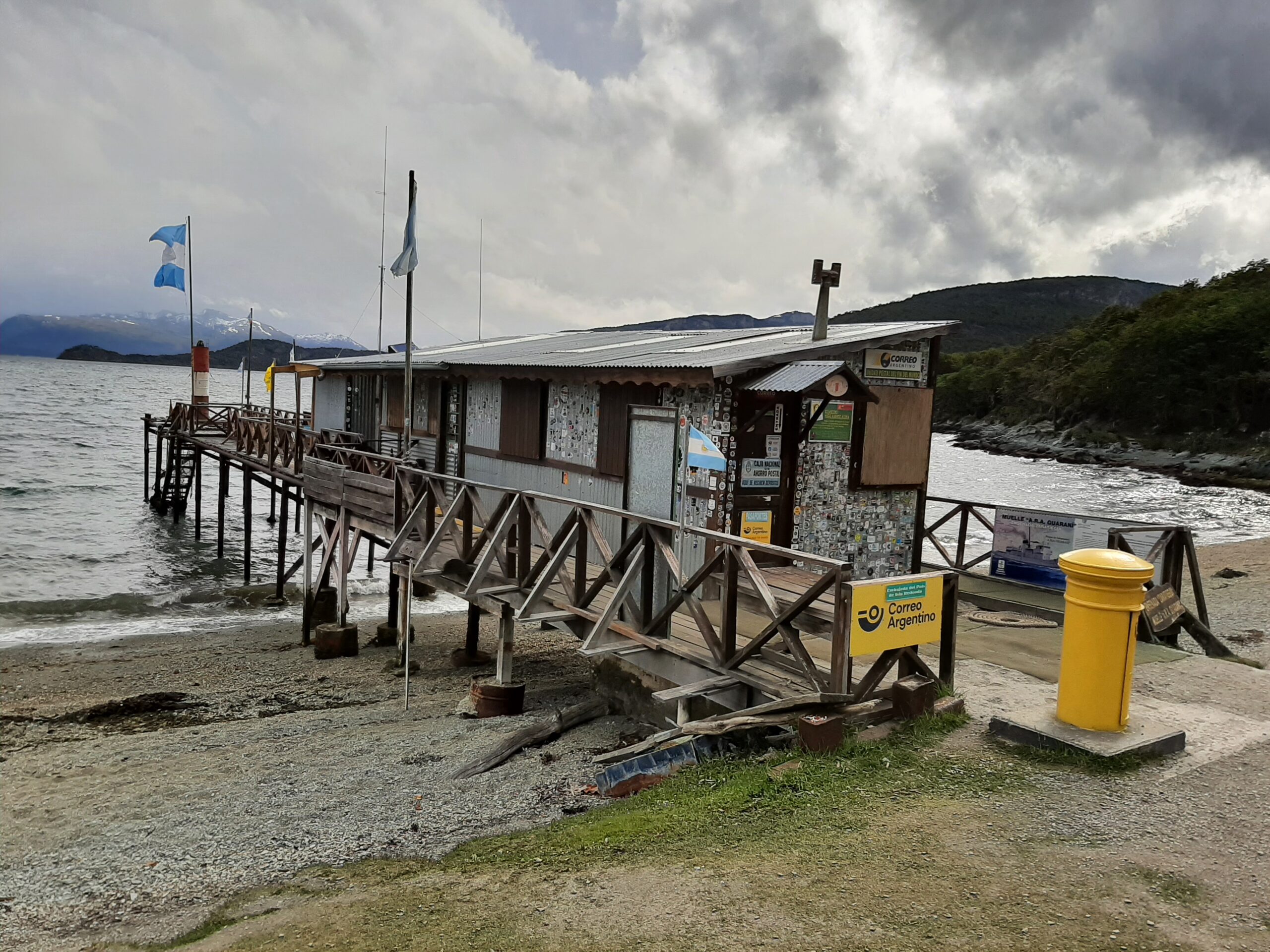 You can bring your passport to get it stamped.
But The Wandelgek wasn’t so lucky.
The post office was closed, because the Argentine national football team was playing a match that afternoon.
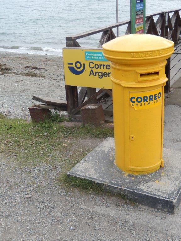
It was possible to post a letter from here…
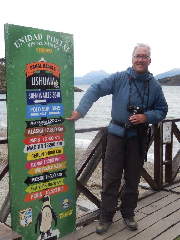
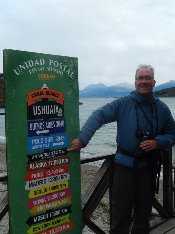
For now this was as close as The Wandelgek would get to Antarctica. Still 1200 kilometers to go…
… still number one on my bucketlist…
Also note that the distance to Antarctica is much shorter than the distance to Buenos Aires. The south pole is further away though.
A view of world’s end that The Wandelgek will not easily forget:
We now know that this is not the end of the world. But just imagine what people thought who didn’t know the world as a globe and were still discovering what the world looked like. Arriving this far south knowing that miles ahead south it would get colder and colder and there was no land yet discovered. they really thought of this as the end of the world. Hence its name.
In the evening The Wandelgek returned to Ushuaia, where he searched for a place to have diner.
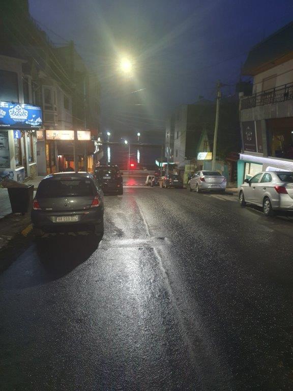
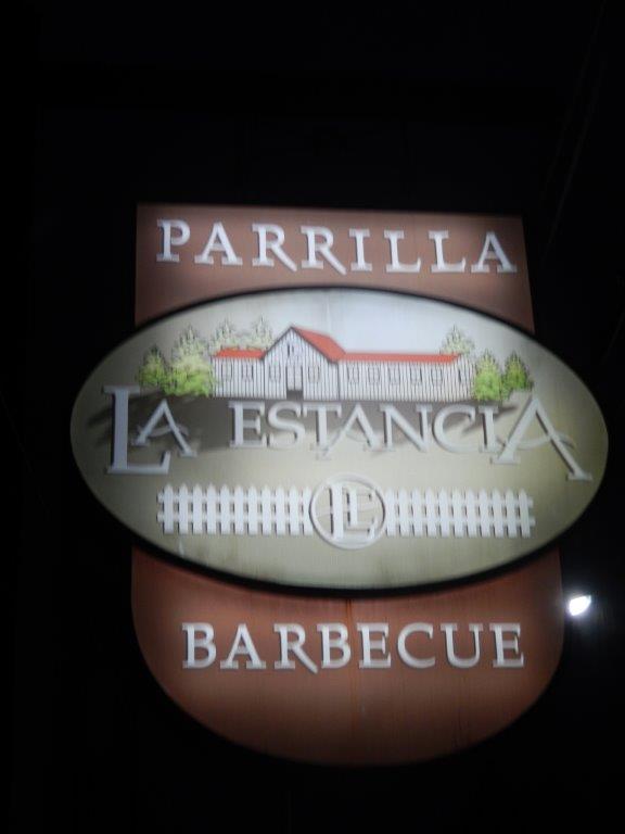
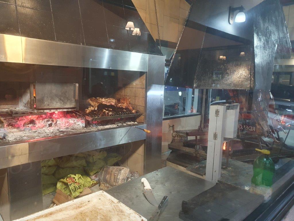
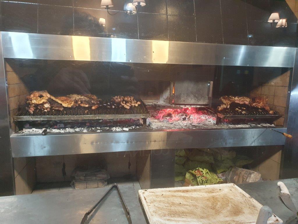
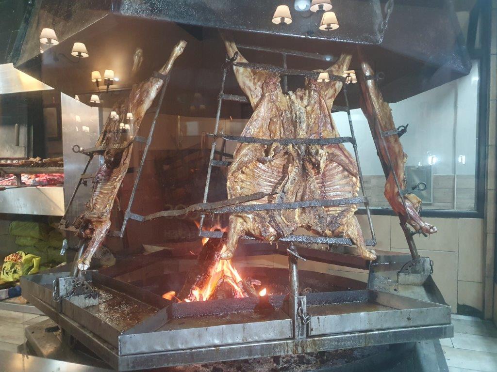
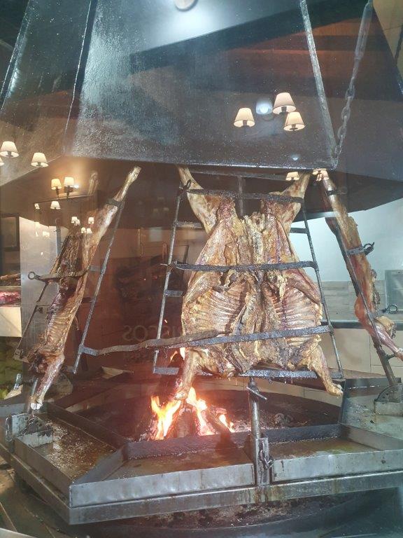
From the hotel it was a short walk down to tge harbor area and halfway he found a parilla (grill restaurant) which looked very promising.
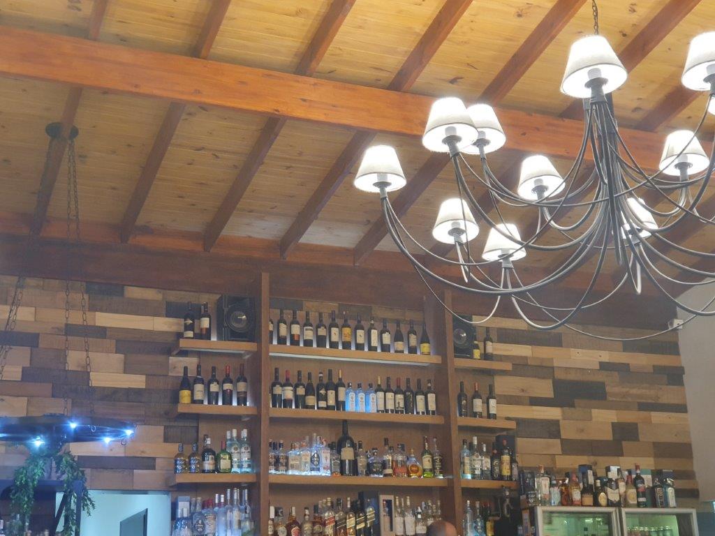
Inside was large wall filled with wine bottles…
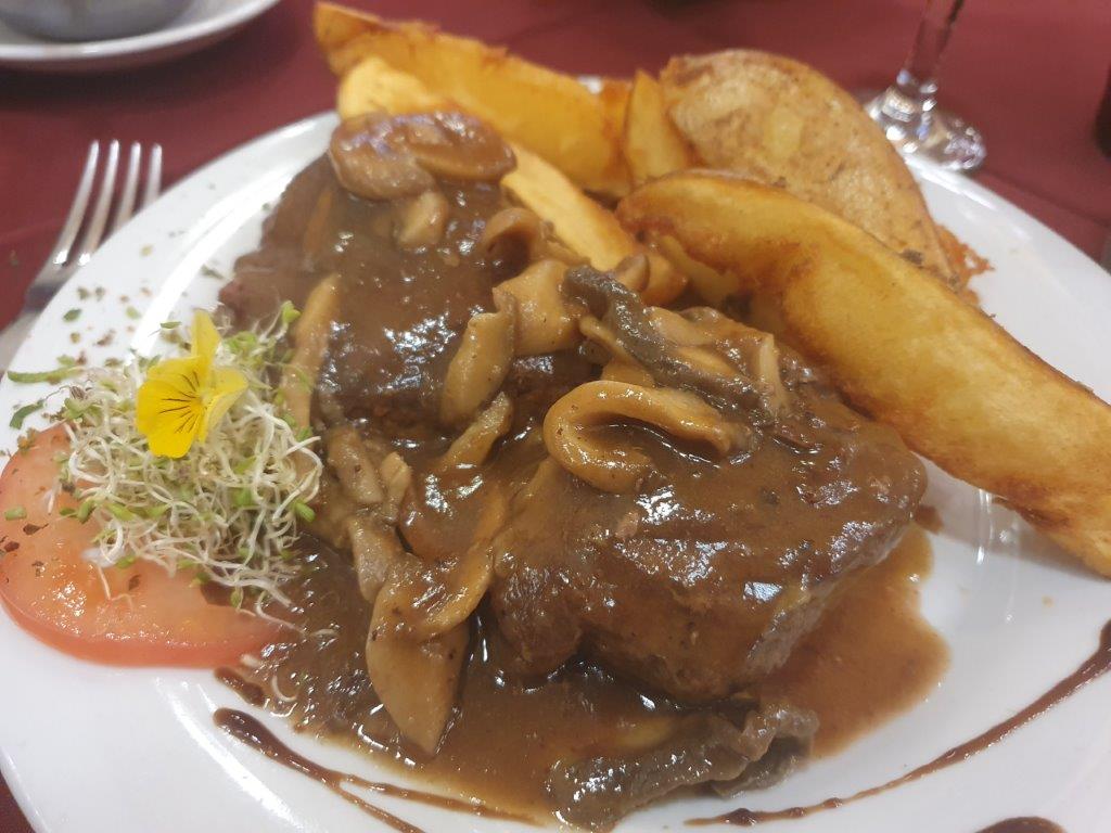
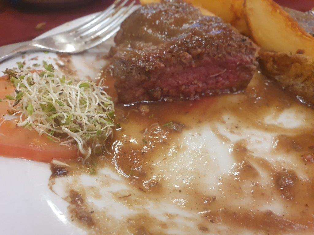
Thevdinervwas really good, with tender grilled meat
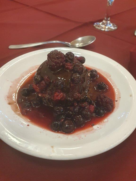
… and a desert of El Calafate berry ice encased in a layer of chocolate and finished off with fresh berries…
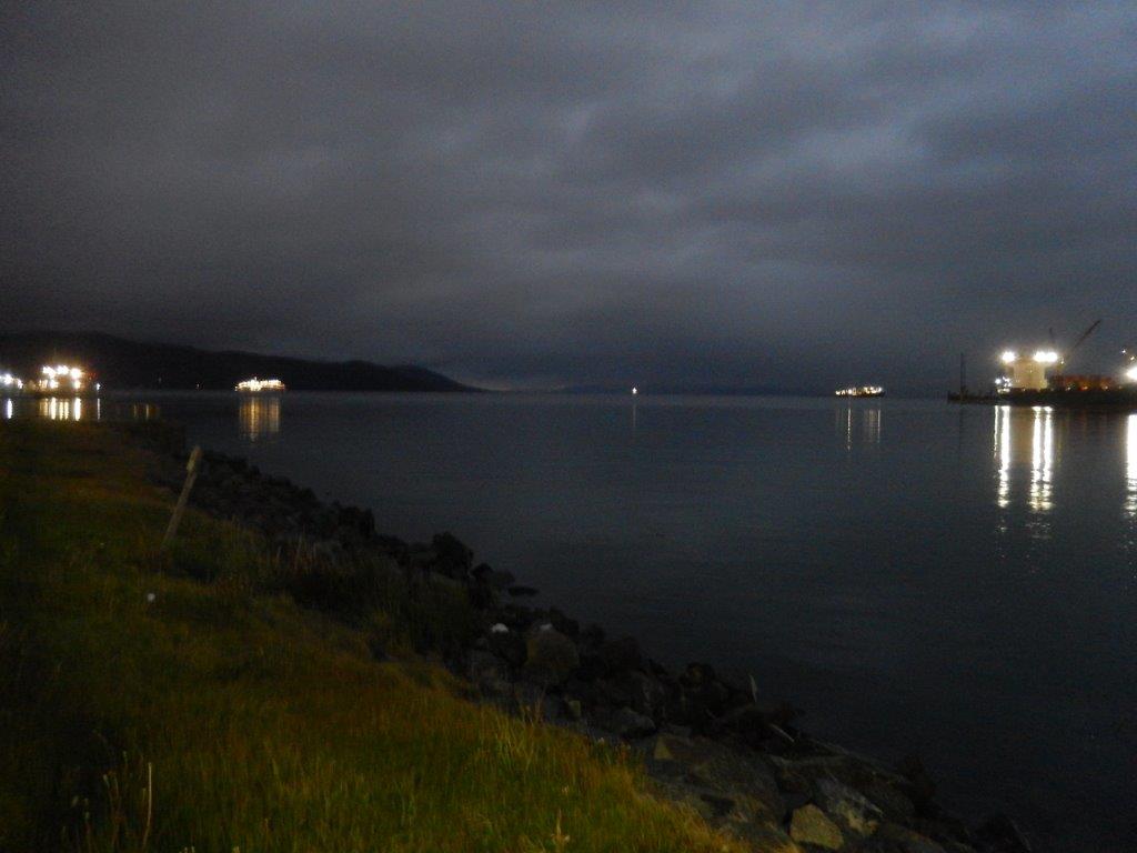
After this delicious diner accompanied by a good Argentinian red wine, The Wandelgek walked down towards the harbor to sniff up some fresh sea air at the Beagle Canal…
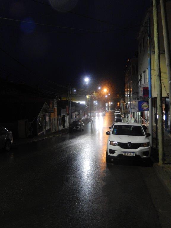
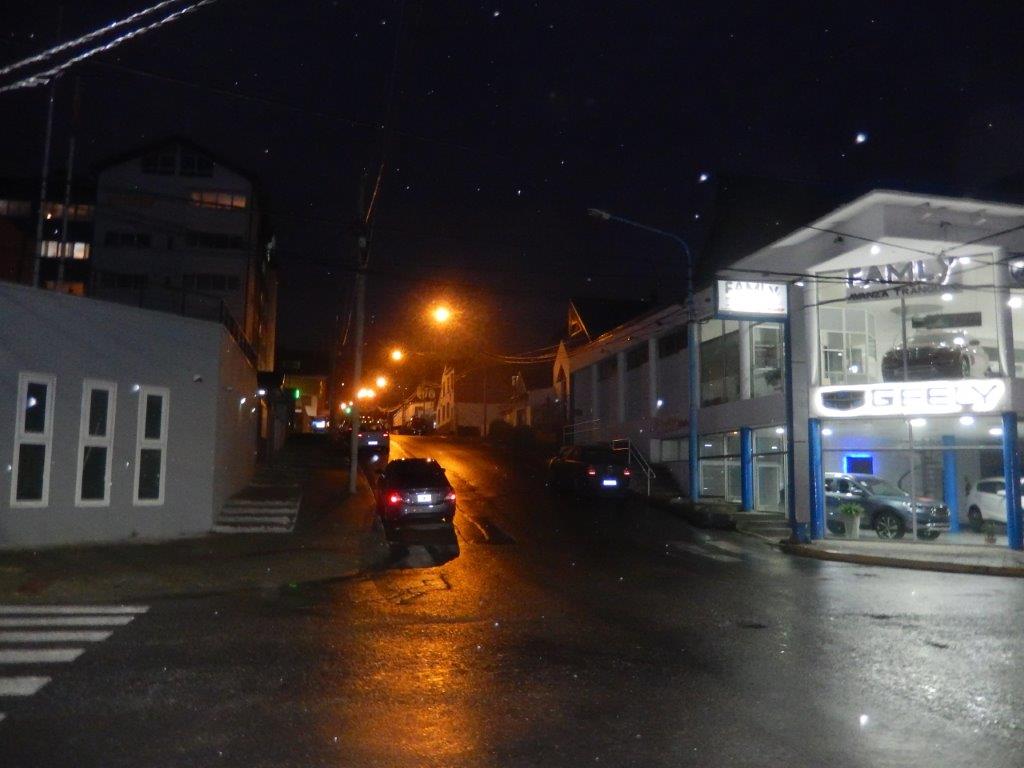
The streets from the Beagle Canal went up into the town.
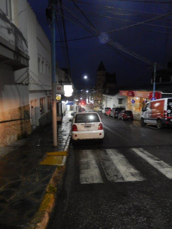
This way navigatie in Ushuaia was easy. Streets that didn’t go up or down were the east west streets…
… streets giing up or down were the north south streets. Up towards the moutains, down towards the Beagle Canal…
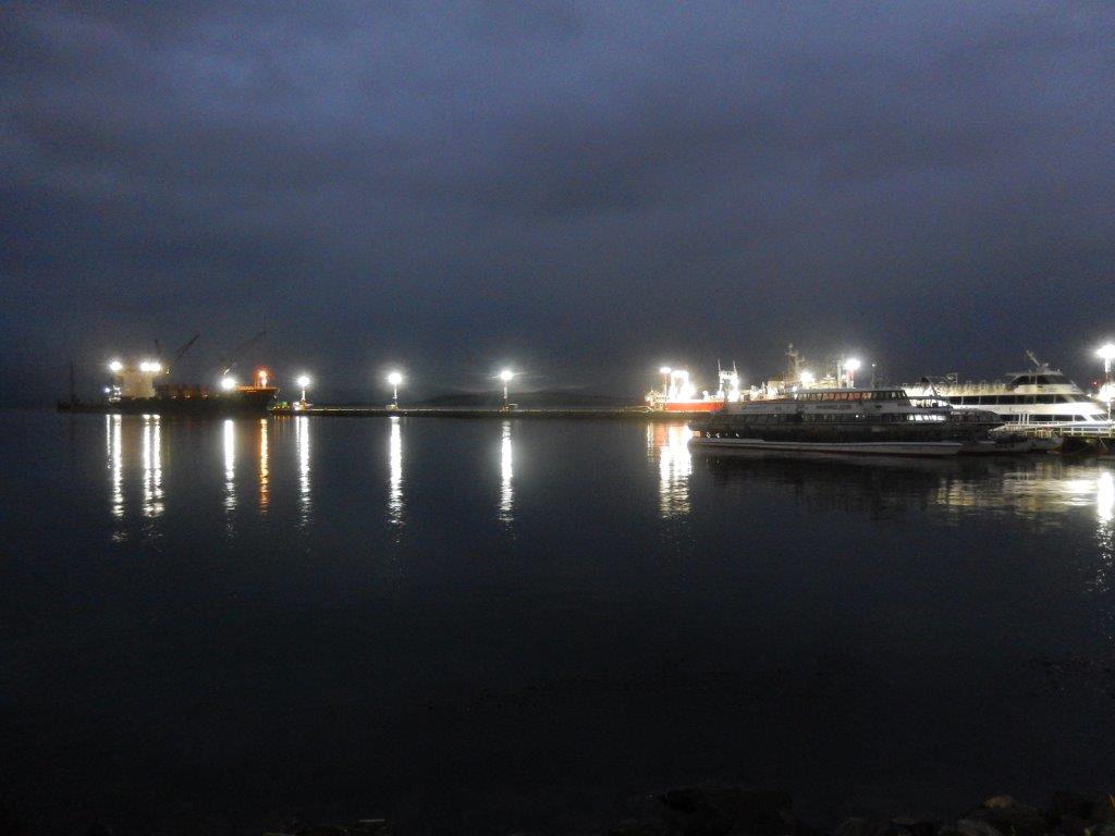
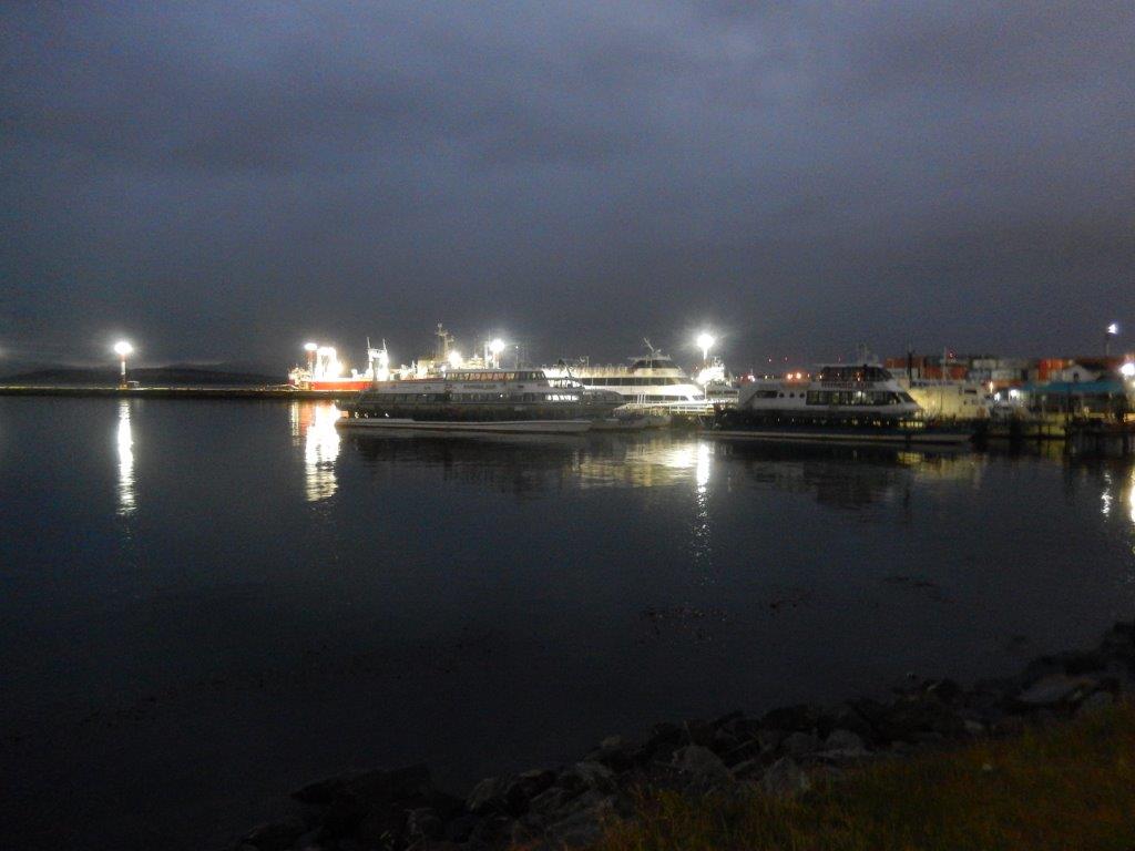
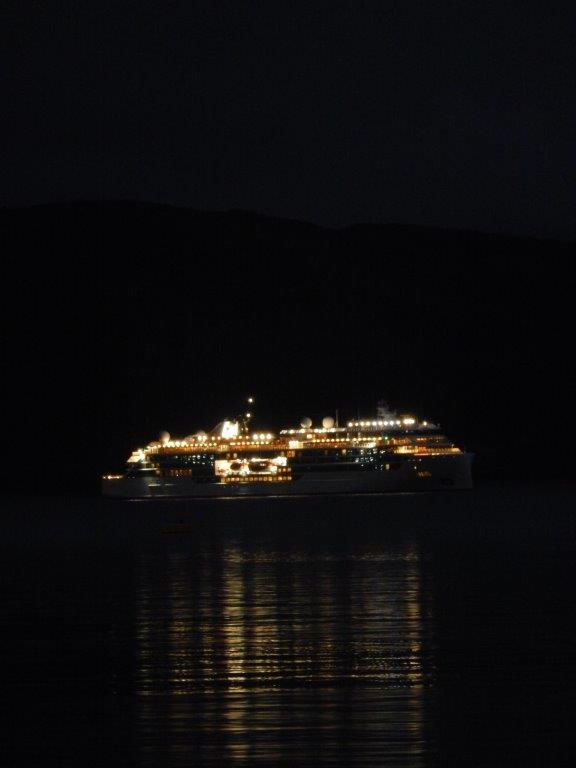
There were always a lot of ships on the canal and in the harbor areas, the transport/logistics/tourism/ expedition harbor as well as the naval harbor a bit more east…
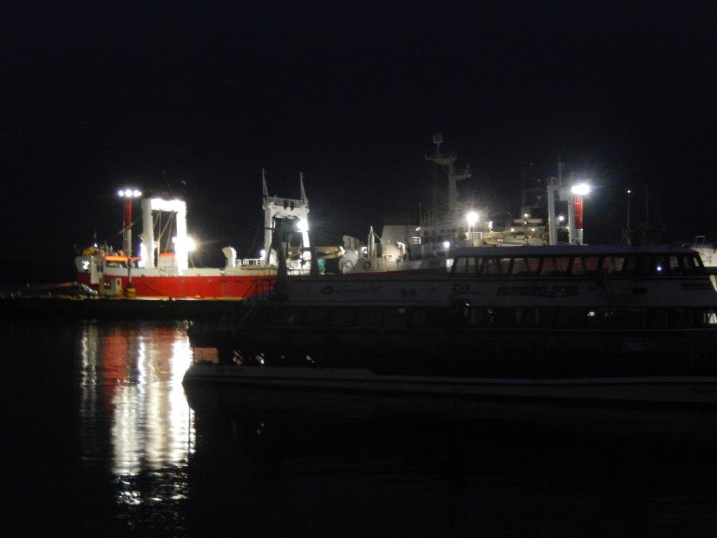
Large ships moored in the harbor
With envious eyes, The Wandelgek looked at those ships that had been crossing or would cross the Strait of Drake to Antarctica.
Thos was not a journey without danger. Passenger are obliged to ensure for repatriation in case of a disaster and this was a real danger.
The journey accross the Strait of Drake to the Antarctic peninsula was one of the most stormy and dangerous ones. The ship that was now moored before Ushaia was kept there because during a very heavy storm a porthole had collapsed under the pressure of the waves and the icy waters had entered the sleeping cabin behind. A woman drowned.
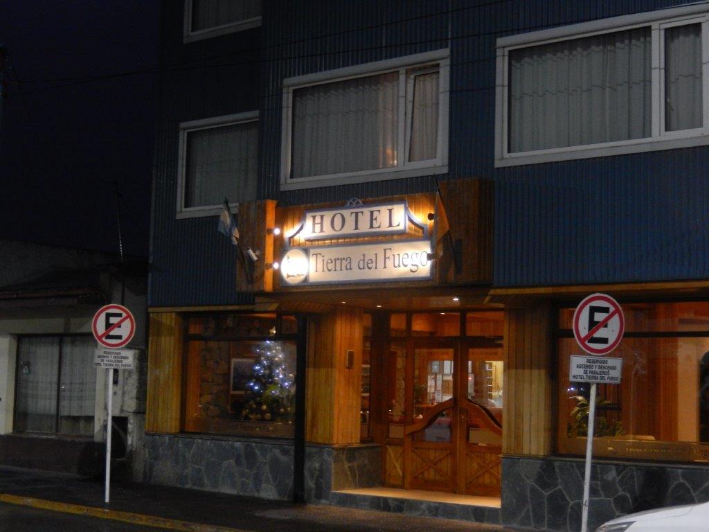
After enjoying the night views, The Wandelgek ascended towards his hotel…
… and after arriving, he went to his room for a shower and watched some teevee. Argentina had won their match.
Then it was time to get some sleep, because he had planned an early event the next morning…

