32. Chile: Roadtrip (Part 2): Salto Rio Paine (Torres del Paine National Park/UNESCO World Heritage Site)
The Wandelgek was driving north towards the borders of Torres del Paine National Park.
After entering he saw the Cordilera del Paine for which the park is so famous….
Torres is the Spanish word for “towers” and paine is the Tehuelche (a group of South American Indians) word for “blue.” The name refers to three tall rock towers that make up one of the most famous sites of the area. The park’s full name in Spanish is Parque Nacional Torres del Paine. In the picture beneath it is the three tiny peaks a bit right of the center.
But the range is a lot larger than just these three peaks…
And then there are the blueer than blue lakes…
This is the utmost southern part of the Chilean mainland. More south the Chilean archipelago starts…
The Wandelgek was contemplating the landscape and although he still thought it was not the most beautiful one he had ever seen, hhedid think it was at the least one of the three very best.
Torres del Paine National Park is a national park encompassing mountains, glaciers, lakes, and rivers in southern Chilean Patagonia. The Cordillera del Paine is the centerpiece of the park. It lies in a transition area between the Magellanic subpolar forests and the Patagonian Steppes. The park is located 112 km (70 mi) north of Puerto Natales and 312 km (194 mi) north of Punta Arenas. The park borders Bernardo O’Higgins National Park to the west and the Los Glaciares National Park to the north in Argentine territory. Paine means “blue” in the native Tehuelche (Aonikenk) language and is pronounced PIE-neh, while Torres means “towers”. It was established as a National Park in 1959.
The Wandelgek, from the start, was absolutely flabbergasted by what he saw He had been flabbergasted about the Monte Fitz Roy area before, but this even topped that….
Mountains as craggy as the Italian Dolomites or the Monte FitzRoy/Cerro Torre area in Argentina’s Los Glaciares National Park, but now surrounded by cristal blue lakes and sapgreen meadows. This was indeed difficult to top. The Wandelgek had heard about New Zealand as a main competitor, but he knew that the true competitor (and winner) was in Asia. In Tibet to be precisely. However this was certainly a magnificent view and it was even getting better…
Springtime in Torres del Paine😍😍😍
Oh yes there were clouds too.
Those peaks seemed unclimably steep…
But still there were those who had stood up to the challenge…
It would have been really cool to walk up towards the moutain lake at the base of the Torres, but the wind was severe and The Wandelgek knew it would be dangerous to do so. He quickly would find out how dangerous.
The landscape looks very sunny and peaceful on pictures like these, but these winds were a real neverending hazard.
Moments like these are moments where The Wandelgek pinches the skin of his arm, just to be sure he isn’t sleeping or dreaming. Proof that this is reality.
And of course there is some wildlife in a National Park too, like e.g. these foraging Flamengos…

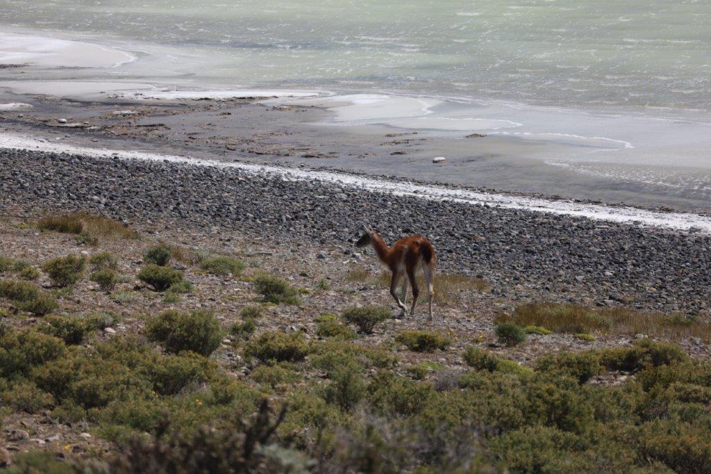
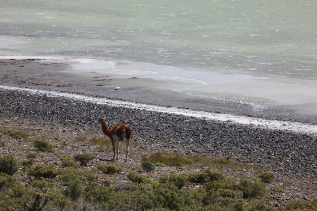
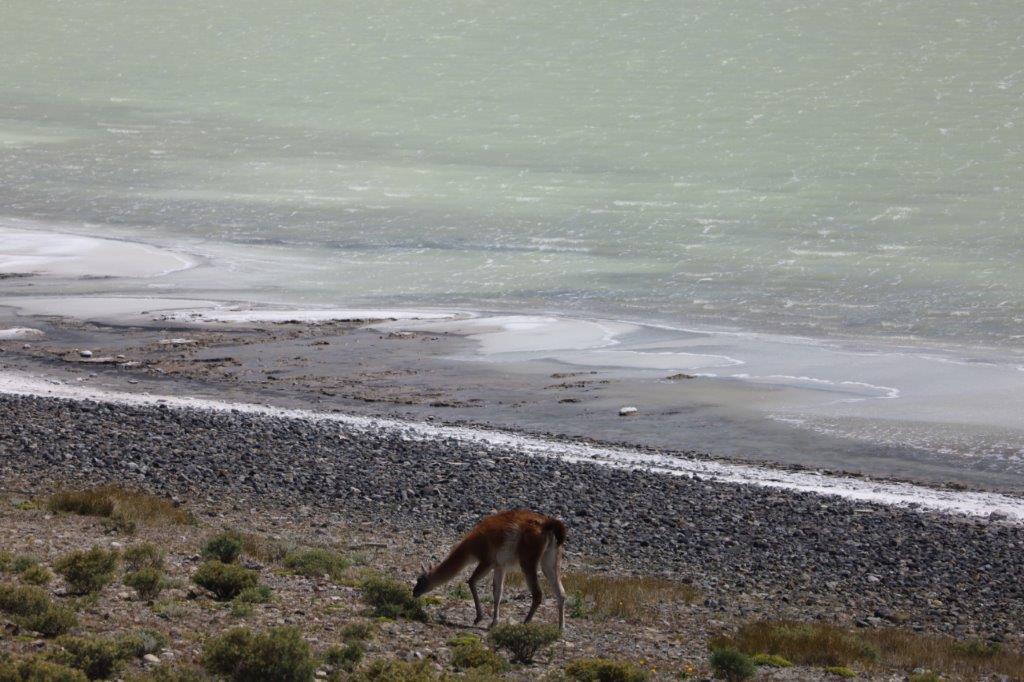
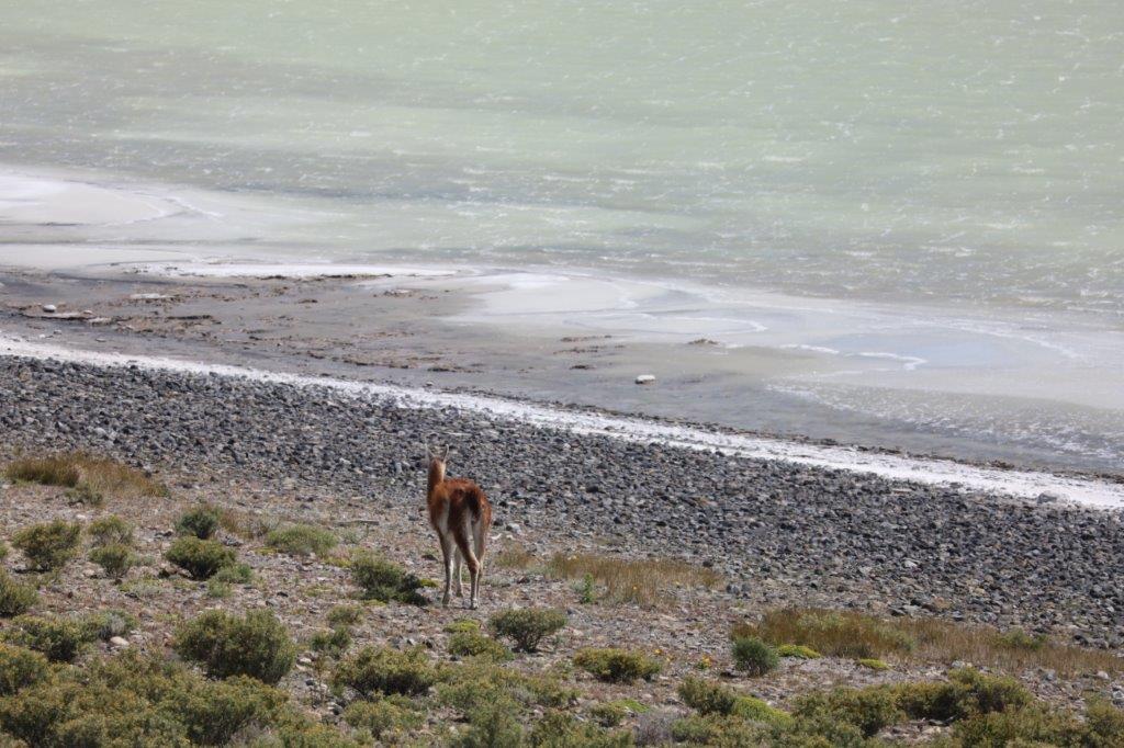
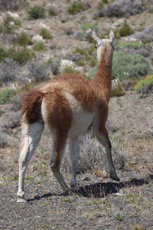
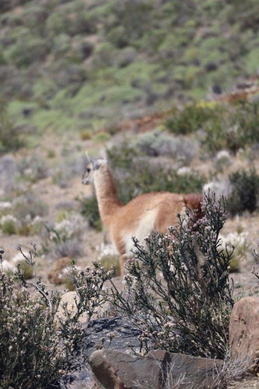
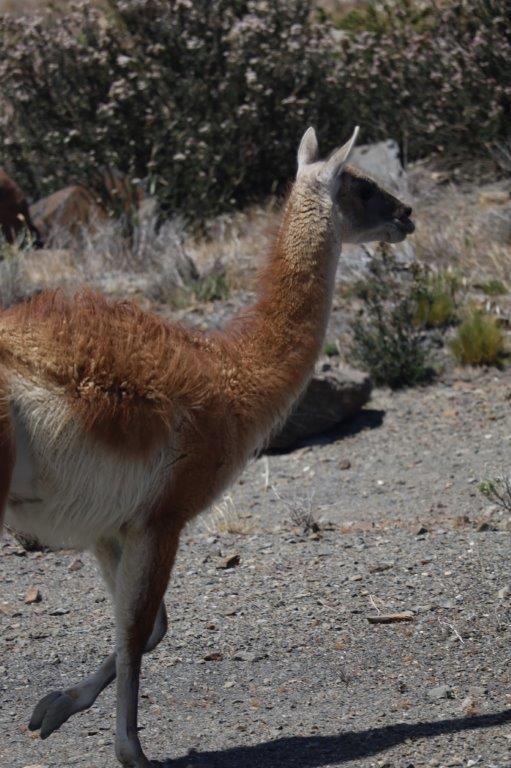
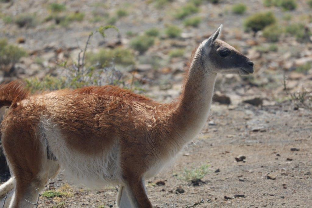
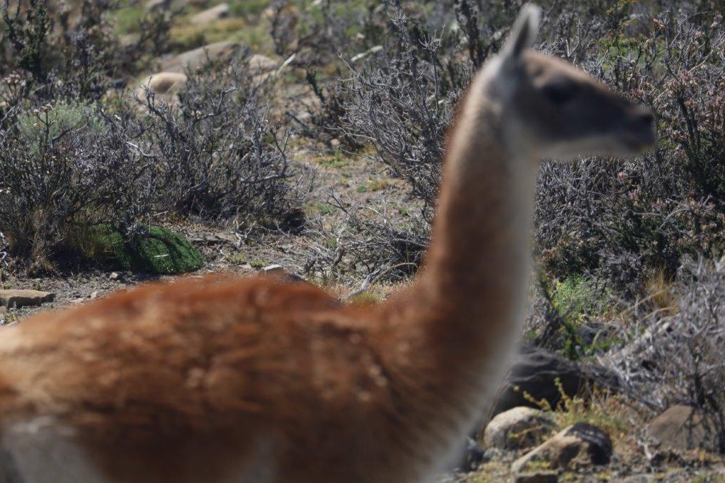
…and there was a herd of Guanacos at the border of the lake…
These are the predecessors of the lamas and alpacas which roam the mountains much futher north…
Making some nice shots…
And than a glance into my camera…
The Wandelgek now drove on, deeper and deeper into this quite large National Park.
Everywhere he looked were these really gorgeous mountains…
 It was a thrill to see Guanacos walk in front of such a backdrop…

The mountains seemed as blue as the park name suggested…
 Deeper The Wandelgek ventured into the park
…until he reached an area from where he could see almost the complete 3 Towers del Paine…
…and loads of little white flowers were blooming in the thorny bushes around the lakes.

Torres del Paine National Park is part of the Sistema Nacional de Áreas Silvestres Protegidas del Estado de Chile (National System of Protected Forested Areas of Chile). In 2013, it measured approximately 181,414 hectares (700 sq mi). It is one of the largest and most visited parks in Chile. The park averages around 252,000 visitors a year, of which 54% are foreign tourists, who come from many countries all over the world. It is also part of the End of the World Route, a tourist scenic route.

And feeling like this was at the End of the World, was certainly what The Wandelgek felt overhere…
There were almost no other travellers and there were no villages or cities within a distance of 100 kilometers from the park’s borders…
The only places to stay the night were some camp sites, cabanas, refugios and hotels, but not in large quantities. The park is quite large and visitors are allowed in in limited amounts and only with permits which can be obtained through the parks website:
Entrance fees National Park Torres del Paine
The park is one of the 11 protected areas of the Magallanes Region and Chilean Antarctica (together with four national parks, three national reserves, and three national monuments). Together, the protected forested areas comprise about 51% of the land of the region (6,728,744 hectares (25,980 sq mi)).
The Torres del Paine are the distinctive three granite peaks of the Paine mountain range or Paine Massif. From left to right they are known as Torre d’Agostini, Torre Central and Torre Monzino. They extend up to 2,500 metres (8,200 ft) above sea level and are joined by the Cuernos del Paine. The area also boasts valleys, rivers such as the Paine, lakes, and glaciers. The well-known lakes include Grey, Pehoé, Nordenskiöld, and Sarmiento. The glaciers, including Grey, Pingo, and Tyndall, belong to the Southern Patagonia Ice Field.
A bit further in the northern area of the park flowed the Rio Paine and a spectacular site to view was the:
Cascada Rio Paine
It is not as high as the Cascada Grande, but the layered rock formations surrounding it were much more spectacular.
The Wandelgek loved watching the minute waterdrops, which were sprayed through the air in huge wet clouds, by the strong Patagonian winds.
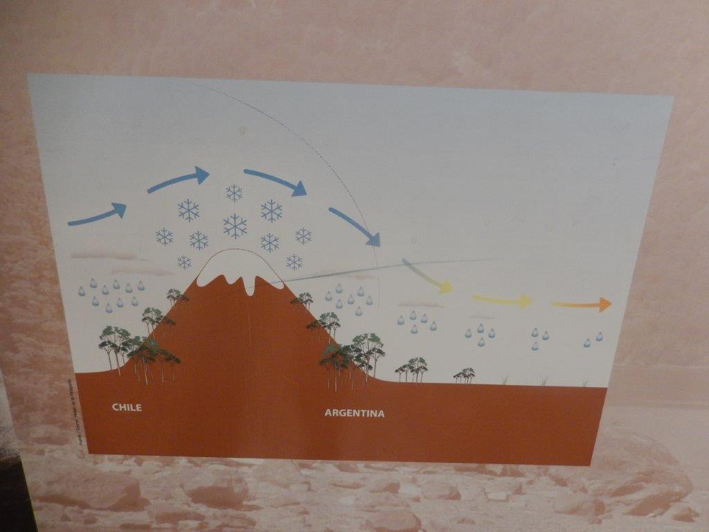
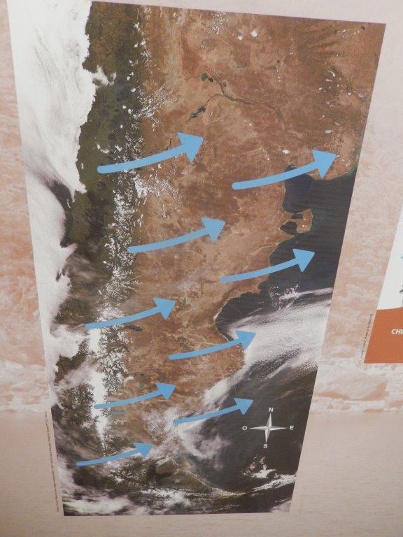
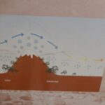
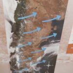
Those winds were even stronger in Chilean Patagonia then they had been in Argentine Patagonia. It was as depicted in these diagrams which The Wandelgek had seen in Bariloche’s Museo de la Patagonica:
This continuous wind from the west was also sandblasting the rocks and pushing the waters of Rio Paine thus revealing the many layers in the rock.
The Wandelgek loved walking here….
Everywhere he looked there were great shots to make…
The Paine River (Río Paine) is a river located in the Magallanes Region of Chile. The river rises from its source in Dickson Lake and flows east for nine kilometres (km) to Paine Lake. After flowing through the lake, the river runs for 15 km, first southward and then westward to Nordenskjöld Lake.
This part of the river’s course includes the Paine Cascade.
The Wandelgek stayed for a while at this beautiful place…
Making loads of photo’s…naturally…
And so the 1st day in Chile had started well…
…but not well enough. It was time for some more action…
…but for that The Wandelgek will write another blogpost…
Ending this one falling/hanging into the fierce Patagonian wind…


