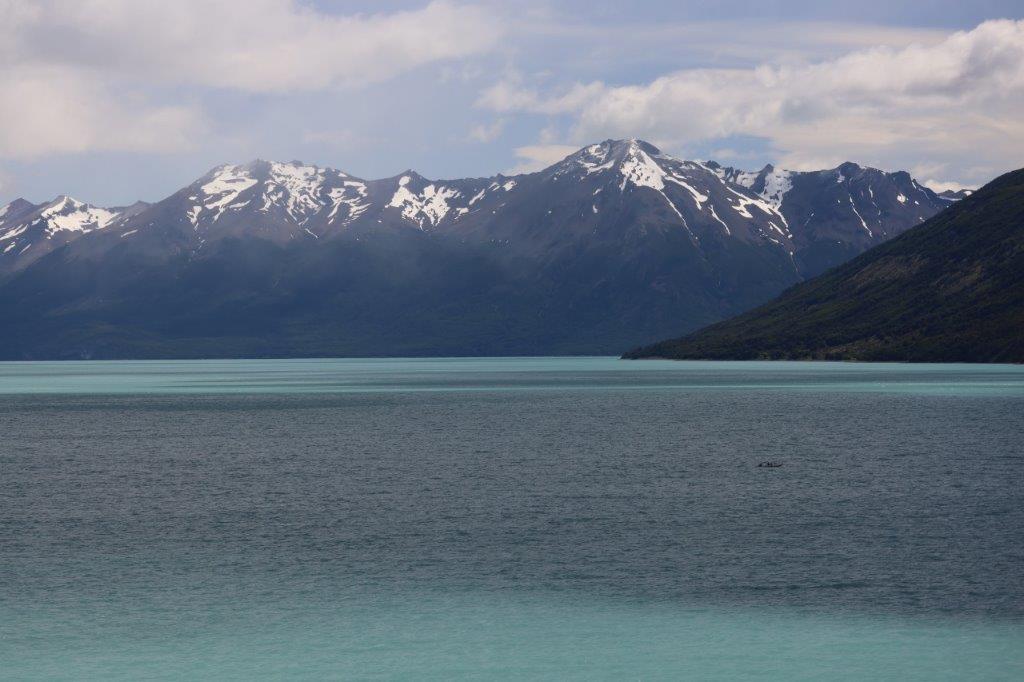
28. Argentina: Boatride to the spectacular Perito Moreno glacier (Los Glaciares National Park/UNESCO World Heritage Site)
The Southern Patagonian Ice field is the largest of two remnants of the Southern Patagonian Ice cap which had covered Chilean Patagonia and the most western part of Argentine Patagonia.
Very large glaciers flow down from this ice field to form the many lakes of the Southern Patagonian Lake District.
In the previous blogposts The Wandelgek hiked to several of the smaller glaciers in the area, but today he was going for one of the largest glaciers, which are the Upsala (765 km2), Viedma (978 km2) and Perito Moreno (258 km2) in the Los Glaciares National Park in Argentina, and the Pío XI Glacier or Bruggen Glacier (1,265 km2, the largest in area and longest in the southern hemisphere outside of Antarctica), O’Higgins (820 km2), Grey (270 km2) and Tyndall (331 km2) in Chile. He entered the Los Glaciares National Park and drove towards the Perito Moreno Glacier.
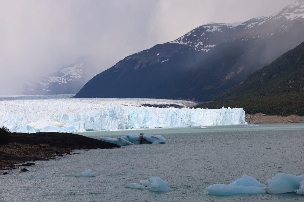
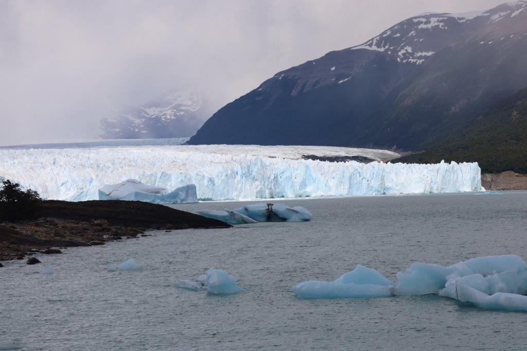
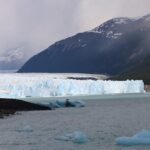
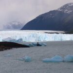
Beneath is the first view over the glacier ending in Lago Argentino and you can see the smaller ice fragments that broke off from the glacier, drifting in its waters…
One of the largest glaciers is the Perito Moreno Glacier within the boundaries of the Los Glaciares National Park. Everywhere in the world glaciers are reducing in volume due to climate change. This glacier is a strange exception. It is not clear why.
It was a lot cloudier this morning than it had been in the past couple of days…
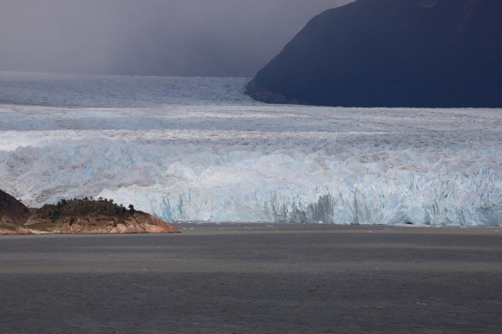
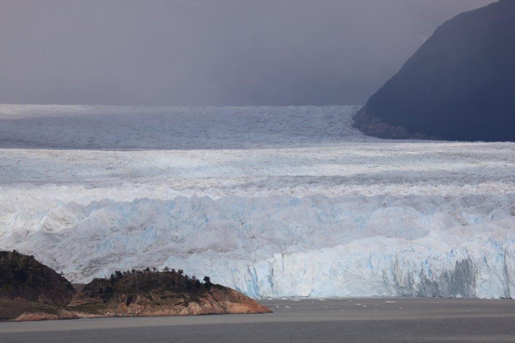
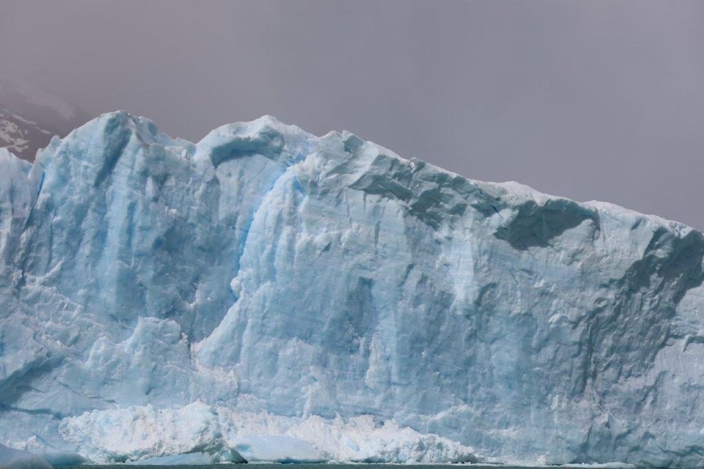
The glacier looked humongous…
The Perito Moreno Glacier is a glacier located in Los Glaciares National Park in southwest Santa Cruz Province, Argentina. It is one of the most important tourist attractions in the Argentine Patagonia.
The 250 km2 (97 sq mi) ice formation, 30 km (19 mi) in length, is one of 48 glaciers fed by the Southern Patagonian Ice Field located in the Andes system shared with Chile which has a small part of the origins of the glacier. This ice field is the world’s third largest reserve of fresh water.
The Perito Moreno Glacier, located 78 kilometres (48 mi) from El Calafate, was named after the explorer Francisco Moreno, a pioneer who studied the region in the 19th century and played a major role in defending the territory of Argentina in the conflict surrounding the international border dispute with Chile.
Read more of that in this previous blogpost:
Pressure from the weight of the ice slowly pushes the glacier over the inner fjord of Lake Argentino reaching the coast of Península de Magallanes and bisecting the lake at an area called the Brazo Rico (Rico Arm) on one side and the Canal de los Témpanos (Iceberg Channel) on the other. With no outlet, the water level on the Brazo Rico side of the lake can rise by as much as 30 meters above the level of the main body of Argentino Lake. Intermittently, the pressure produced by the height of the dammed water breaks through the ice barrier causing a spectacular rupture, sending a massive outpouring of water from the Brazo Rico section to the main body of Lake Argentino and the Santa Cruz river. As the water exits Brazo Rico, the scored shoreline is exposed, showing evidence of the height of the water build-up. This dam–ice-bridge–rupture cycle recurs naturally between once a year to less than once every decade.
 Above you can spot the Perito Moreno Glacier in the bottom left corner, flowing towards the bottom center . There it blocks the waters of Lago Argentino. The part of the lake north of the blockade is filled with waters from the many glacial rivers and rises, whereas the part south of the blockade is sinking because it doesn’t receive water from the glacial rivers and its water is emptied into rivers running away from the lake. This goes on for some years until water pressure ruptures the blockade.
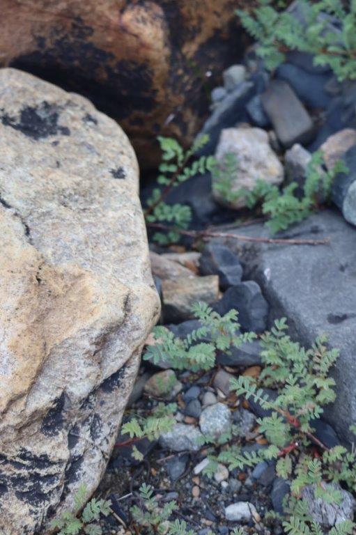
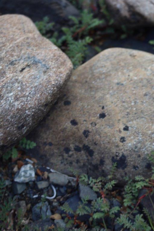
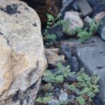
The Wandelgek arrived at a small harbour from where boats left towards the glacier. On the rocky shore he could spot several beautiful arctic plants between the round stones, but also human waste like e.g. this covid mouth mask…
Arctic flowers…
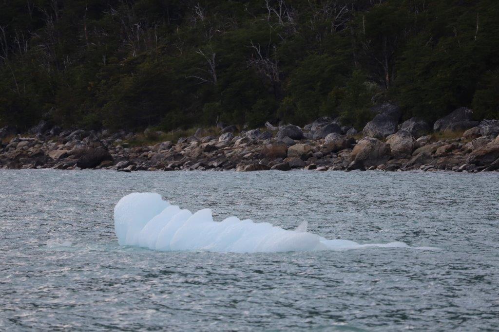
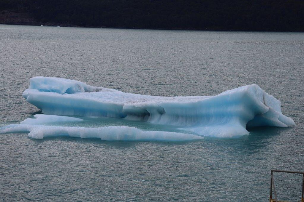
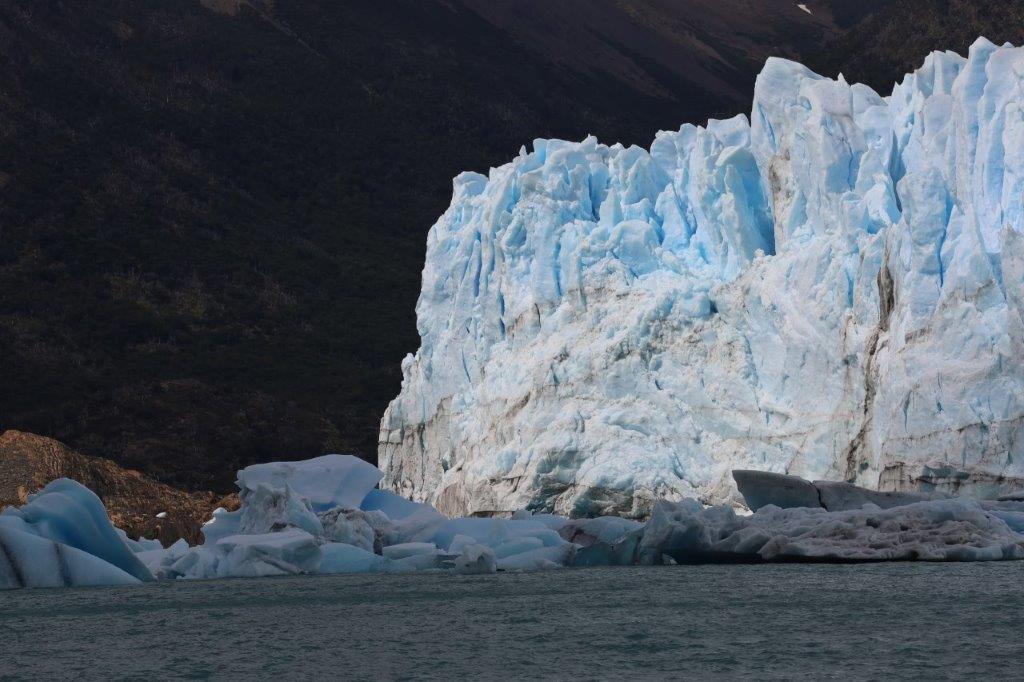
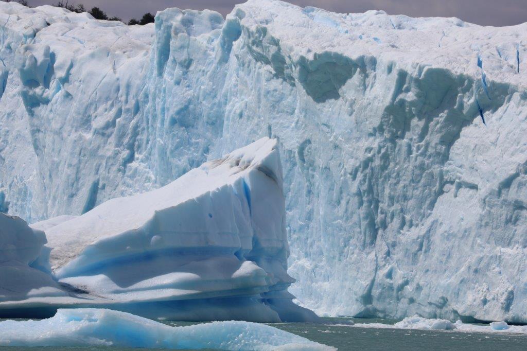
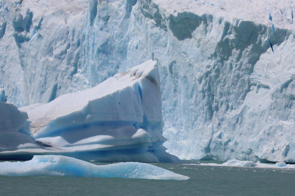
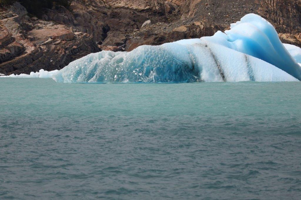
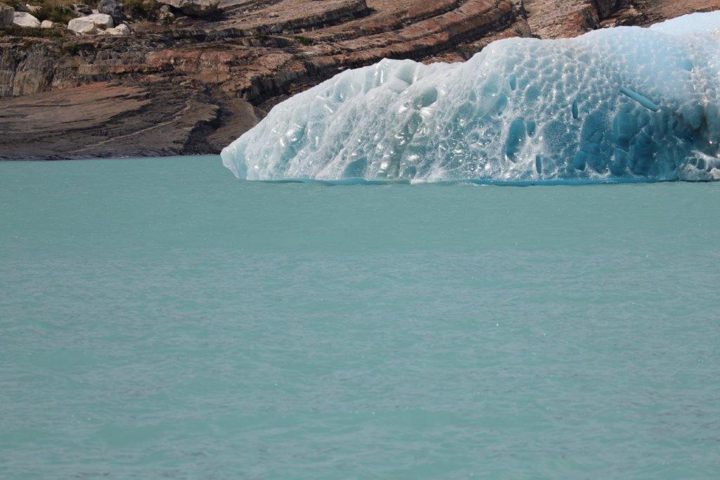
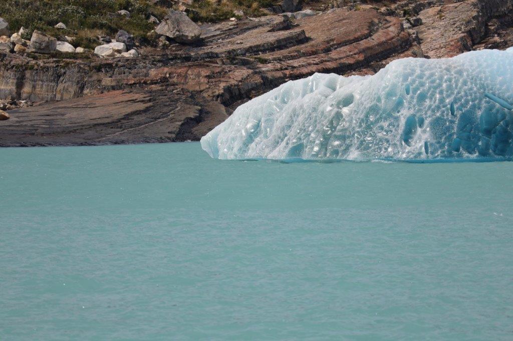
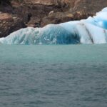
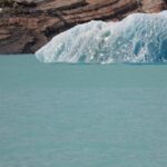
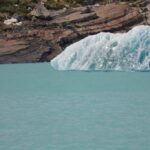
The small icebergs contain a lot of oxygen bubbles which cause some of them to have a deep blue color…
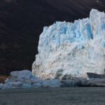
The boat was now closing in on the glacier front…
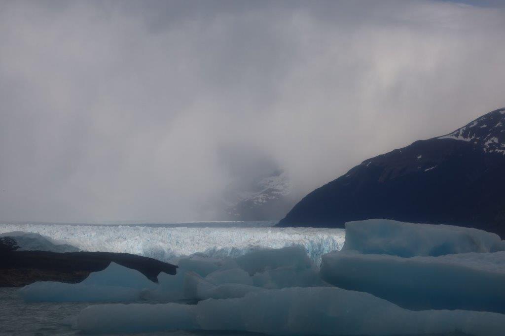
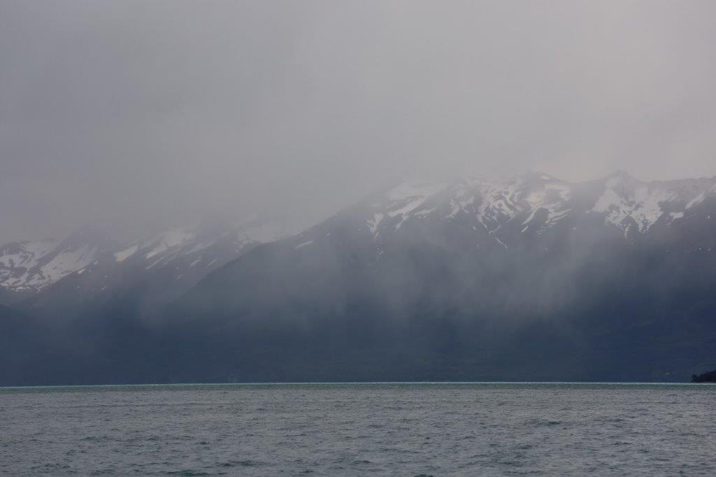
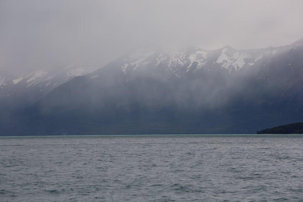
It was still rather cloudy and the surrounding Andes mountain tops were hardly visible…
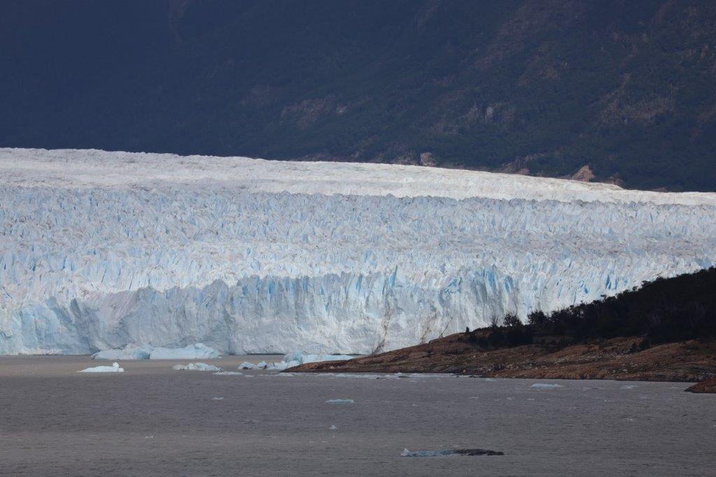
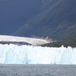
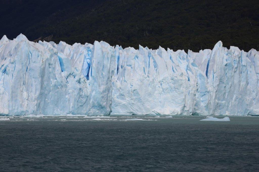
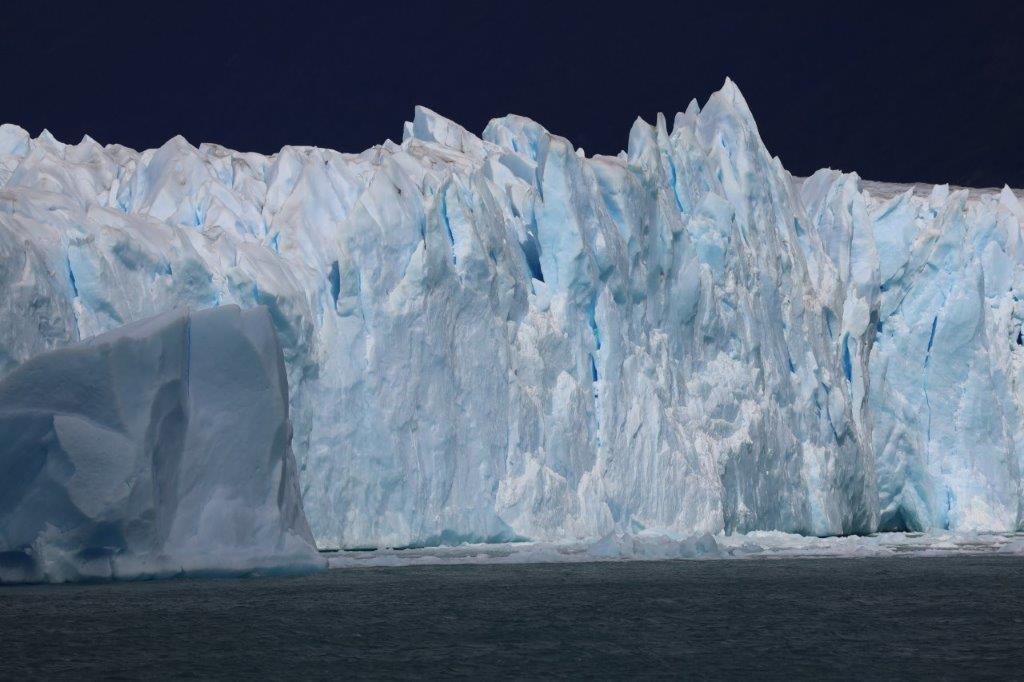
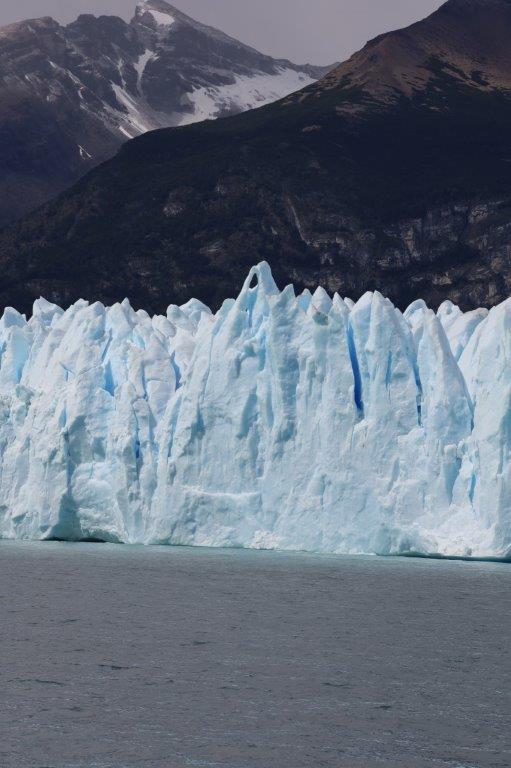
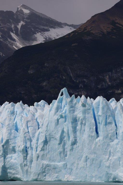
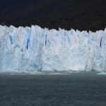
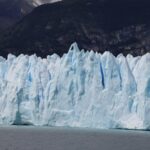
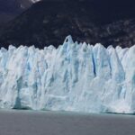
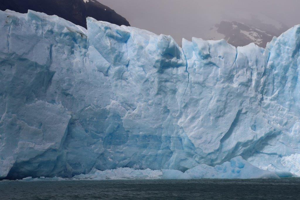
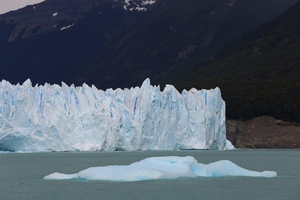
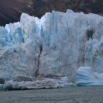
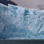
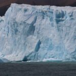
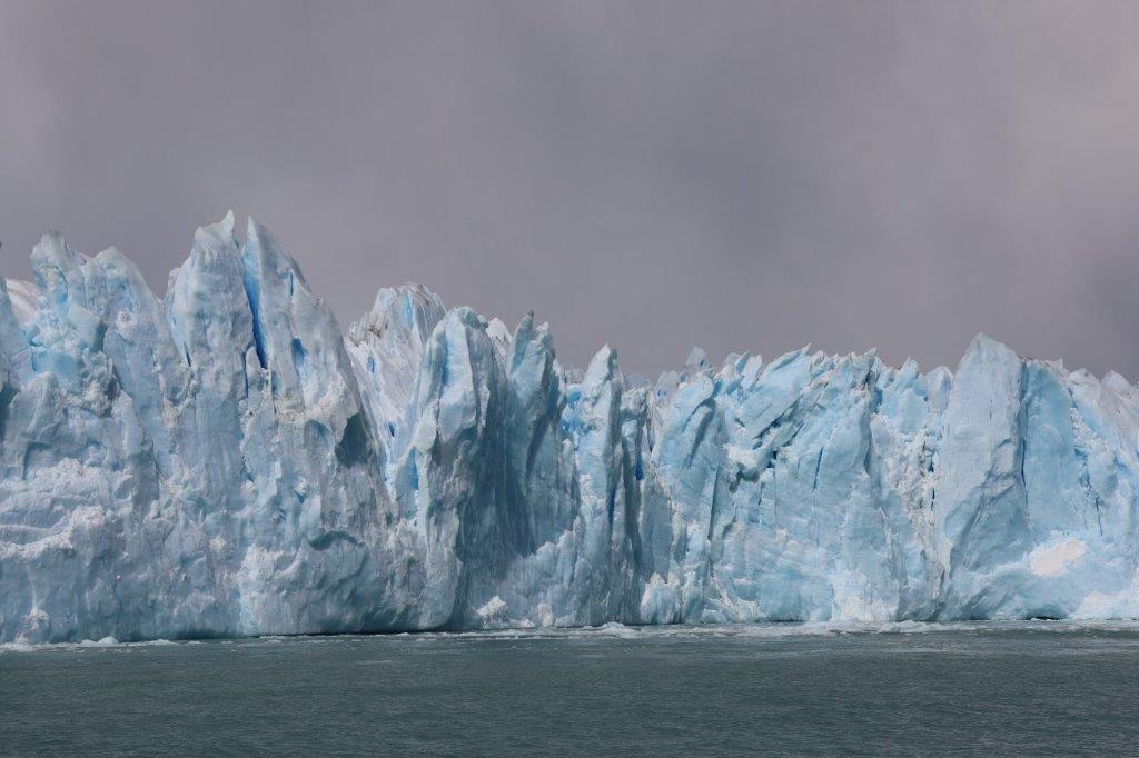
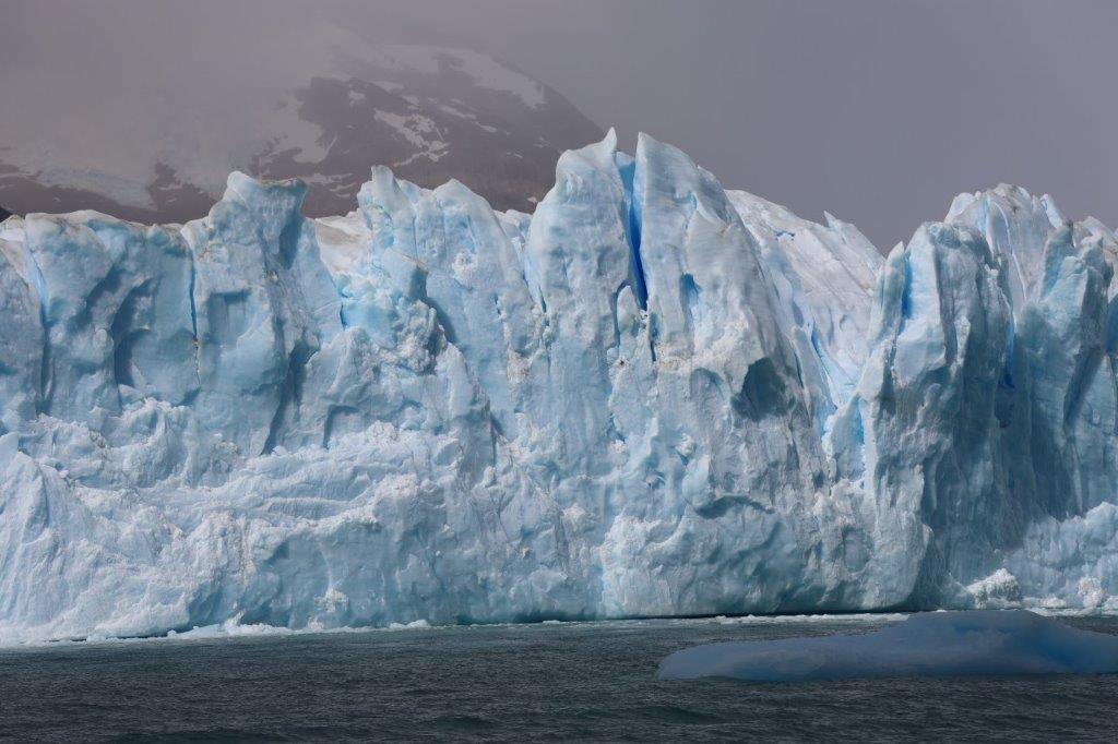
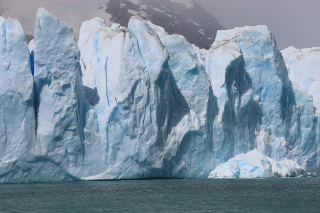
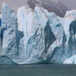
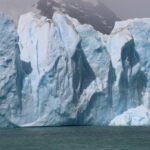
The boat then shut down its engines and floated past the whole glacier front…
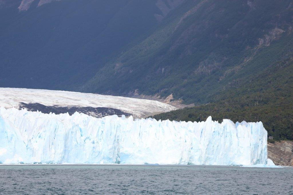
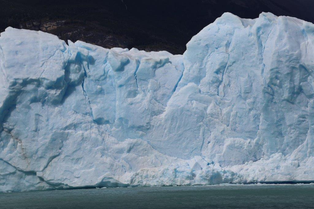
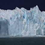
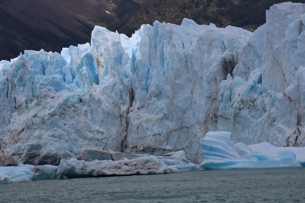
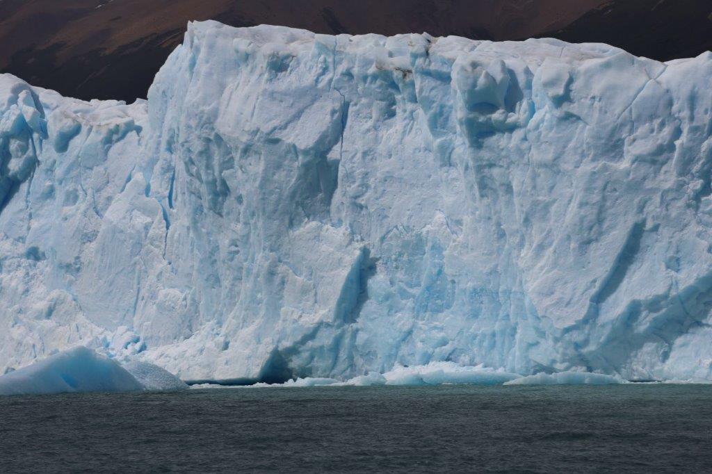
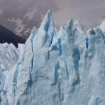
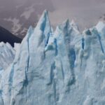
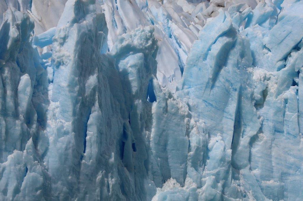
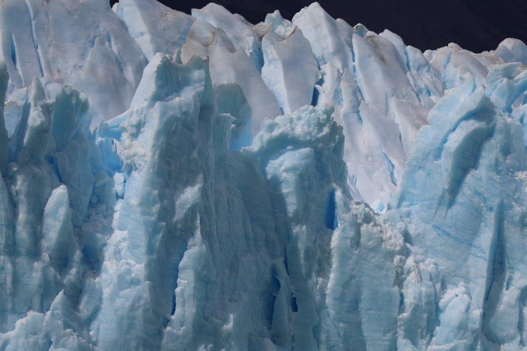
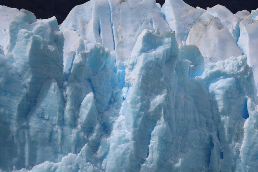
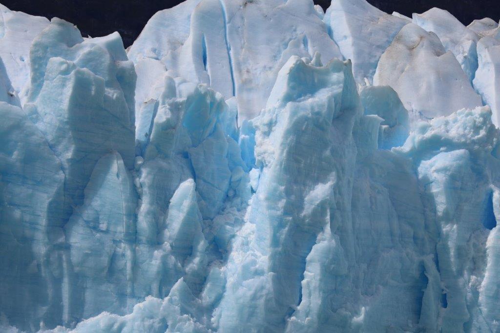
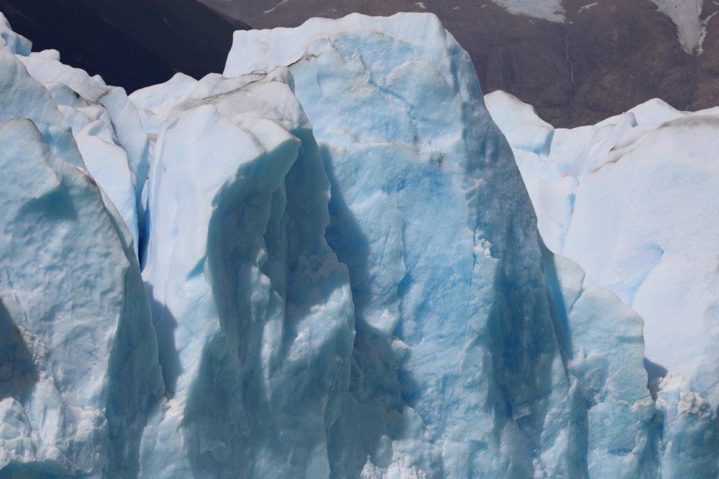
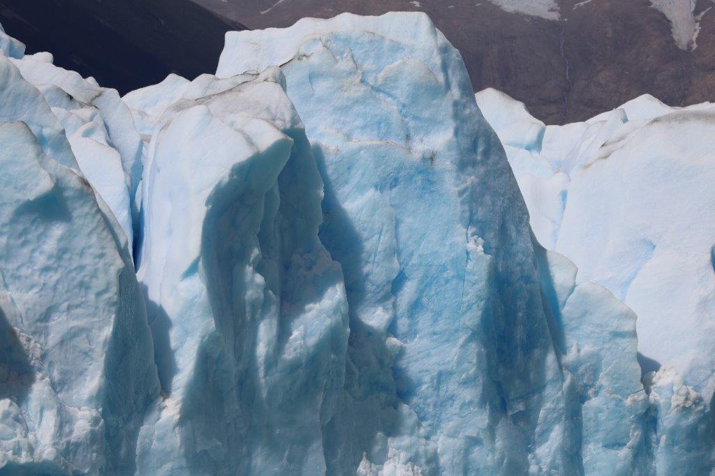
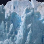
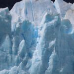
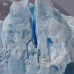
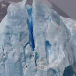
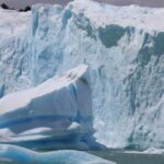
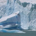
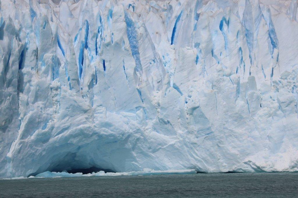
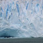
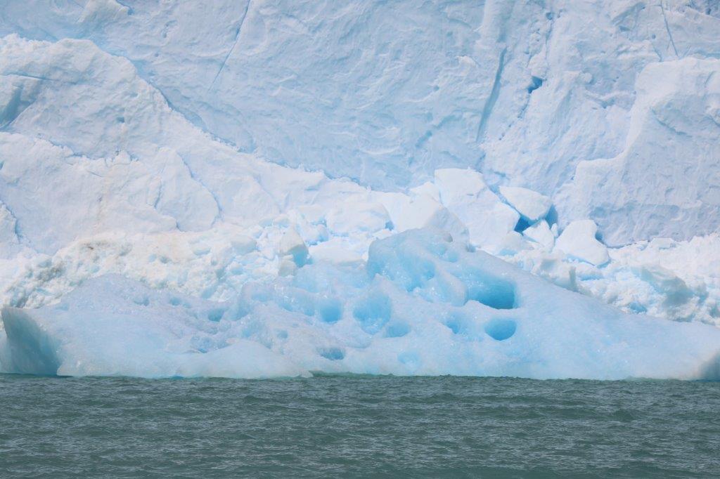
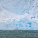
That glacier front is really a spectacular sight…
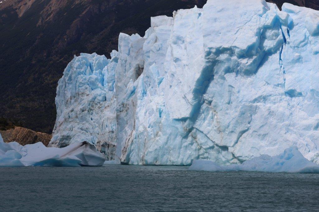
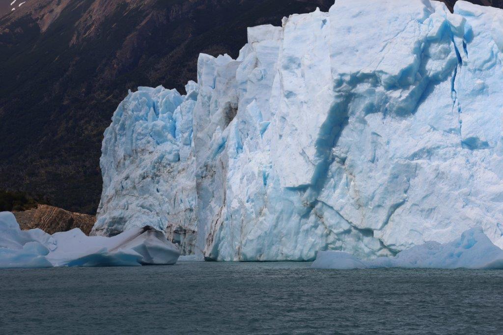
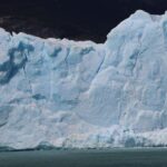
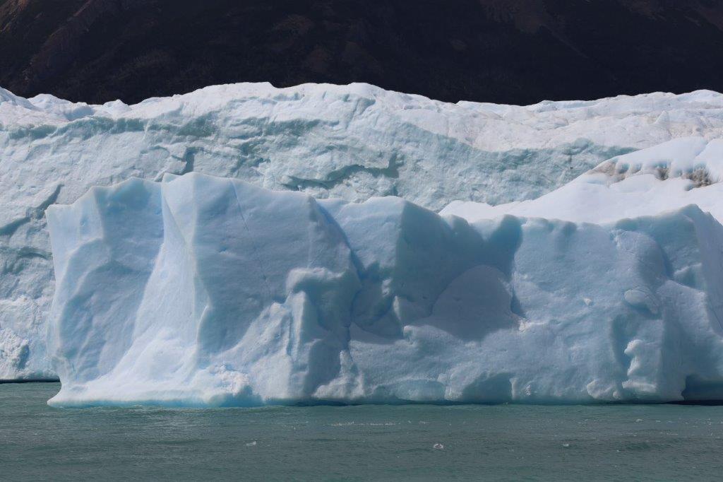
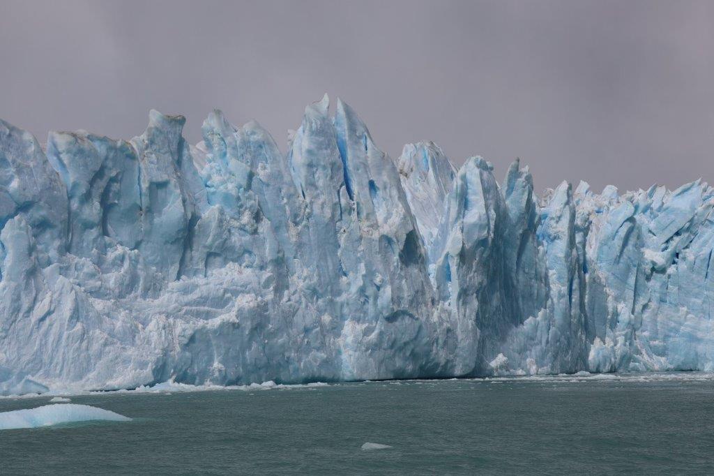
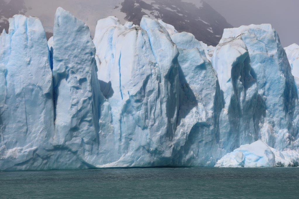
After this the boat steered much nearer to the glacier front and then floated in the opposite direction. The views were mesmerizing as was the sound of squeeking, crackling, exploding and sighing of the pressurized ice.
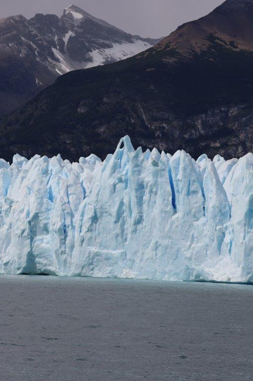
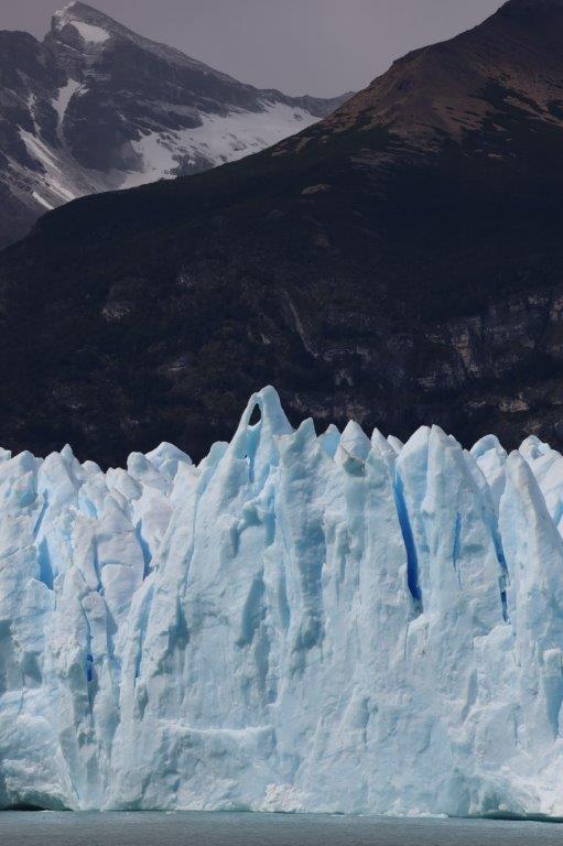
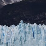
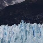
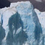
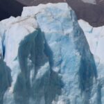
The white ice contrasted against the darkness of the mountain slopes and the blue ice was deep but also almost illuminating…
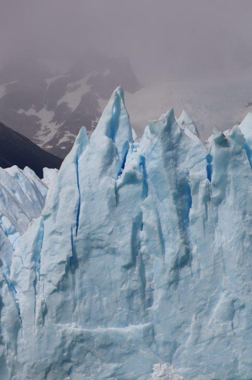
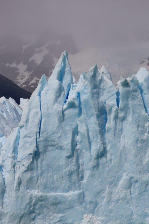
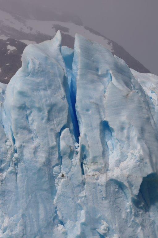
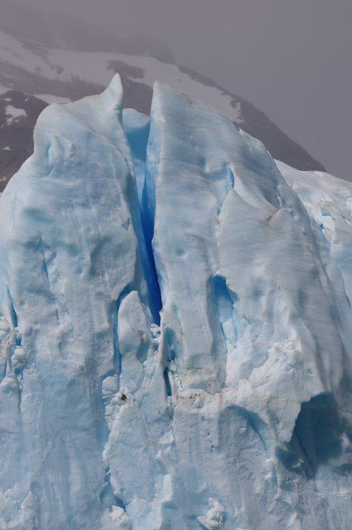
 The shape of the ice was that of a tortured surface under the pressure of a gigantic weight, slowly but surely giving in…
Needless to say that The Wandelgek enjoyed every second of his visit and was documenting it extensively in many photographs and even a few vids…
Some of the cracks in the ice allowed a seak peek dieper into the interior of the glacier and the blue ice that could be seen there was even more intensely blue that that on the surface…
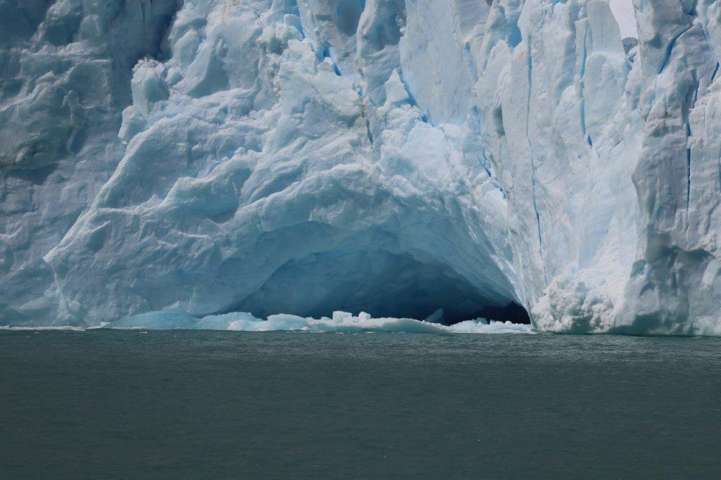
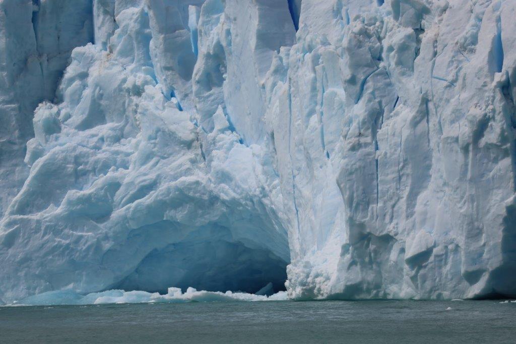
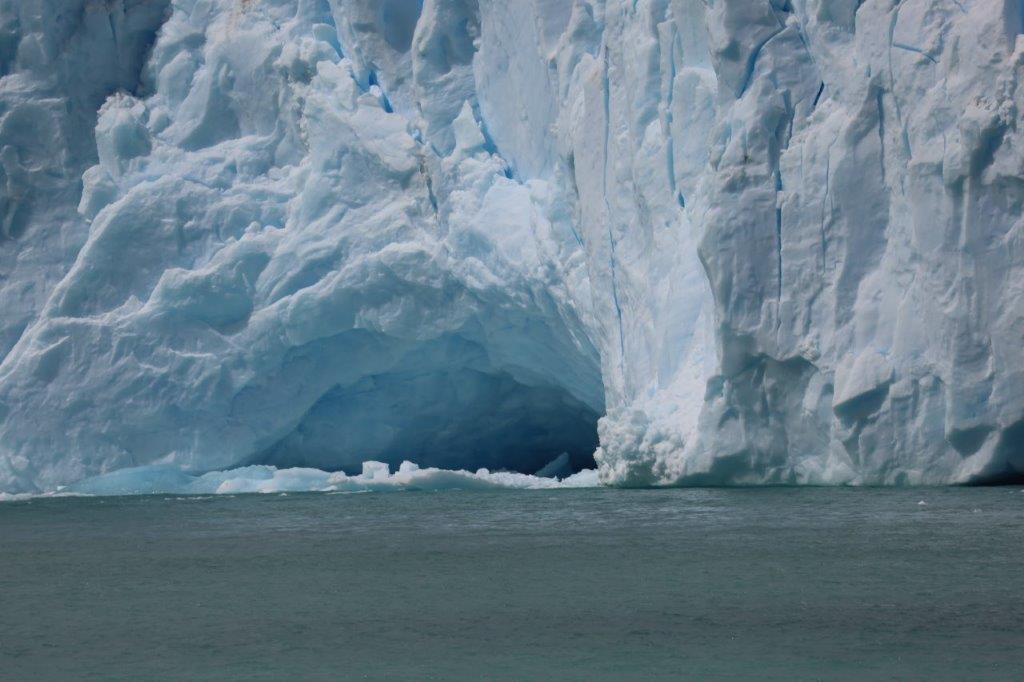
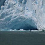
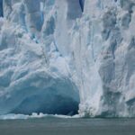
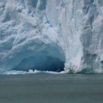
One of the many more distinctive features of the glacier was a glacier cave at the edge of the glacier…
Another spectacular sight were the icebergs in front of the glacier that had already broken off and show cased the deep blue interior ice of thet glacier. loaded with oxygen bubbles…
Then the engines were turned on again and the boat left the glacier front to return to the harbour area.
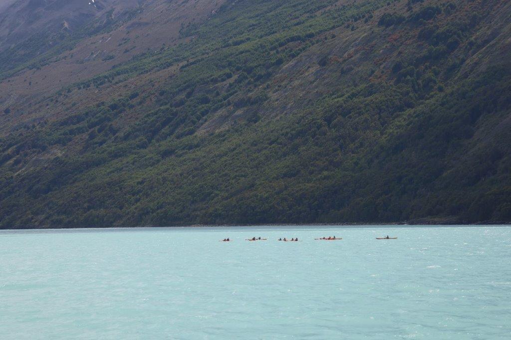
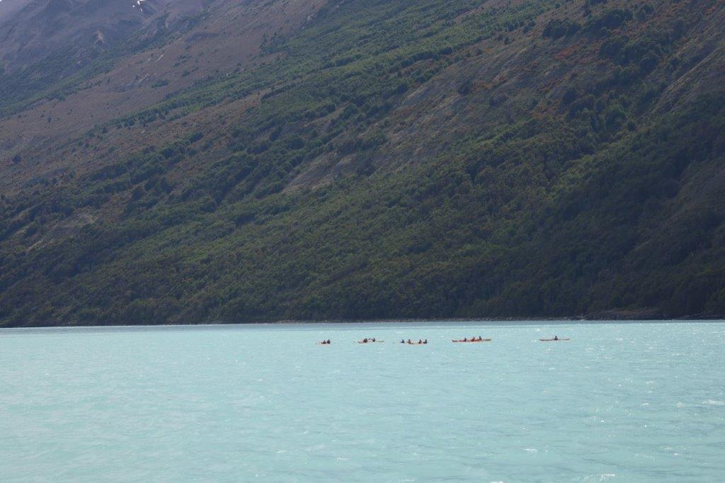
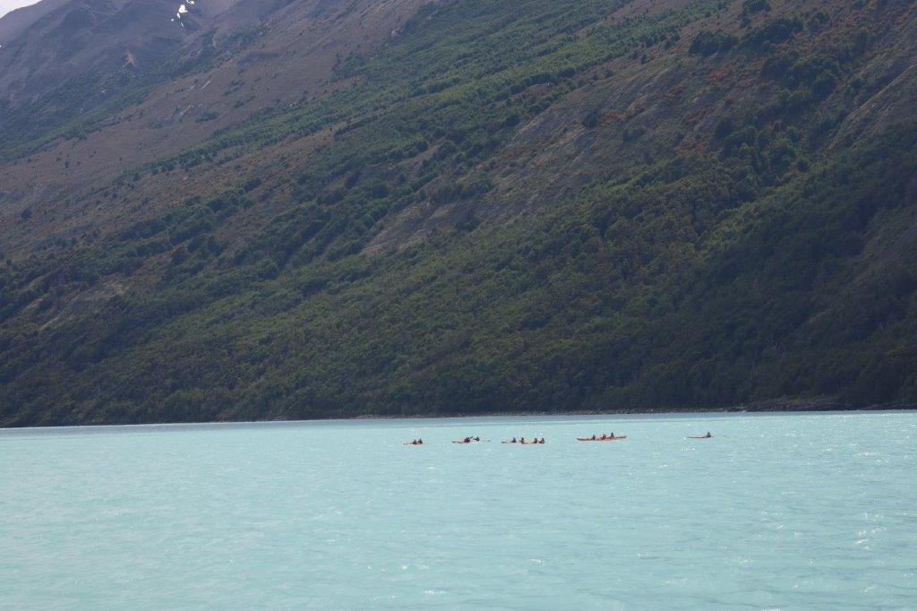
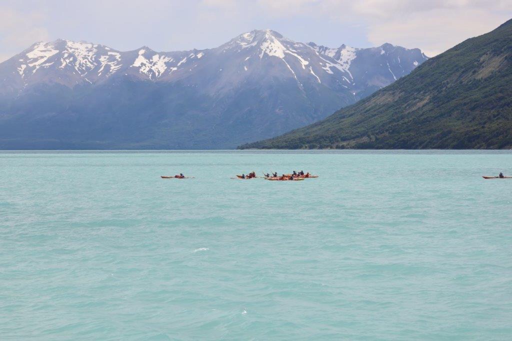
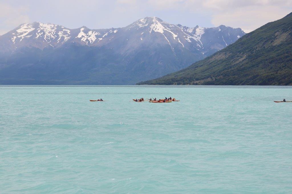
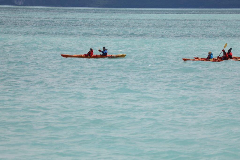
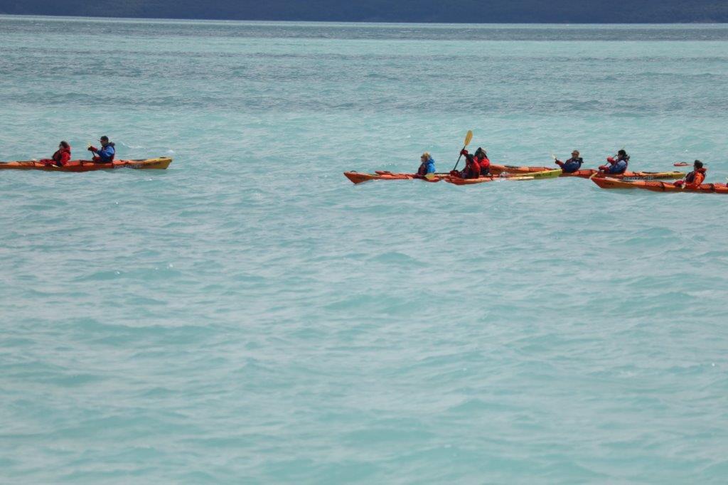
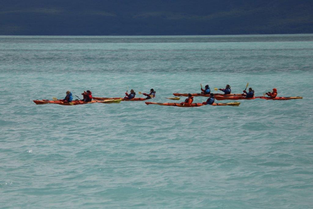
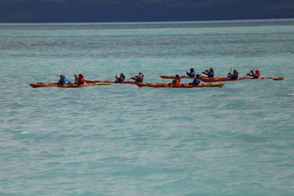
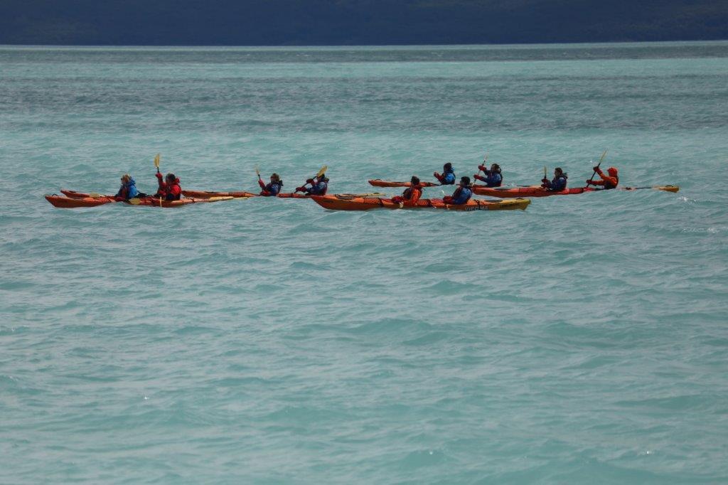
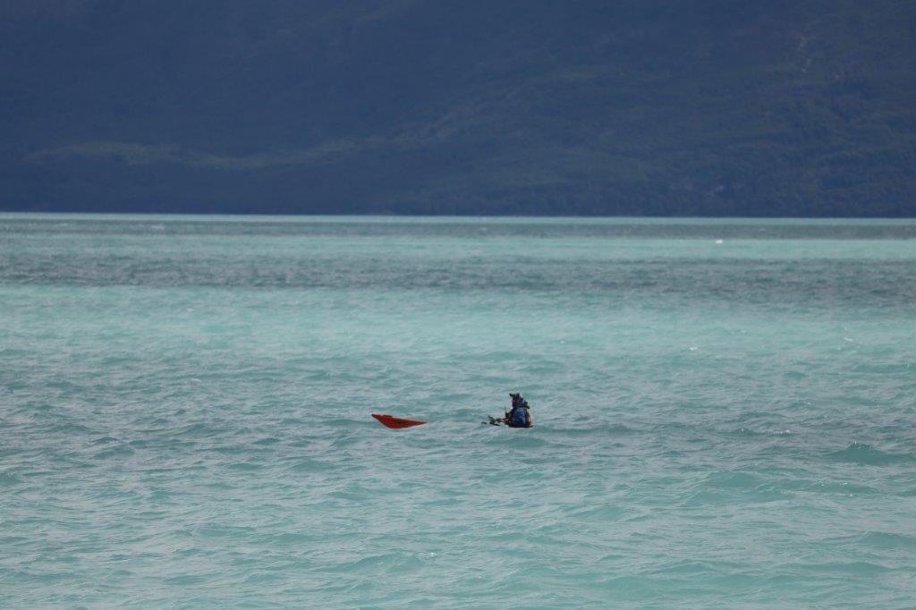
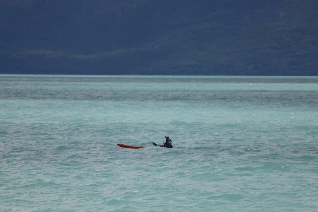
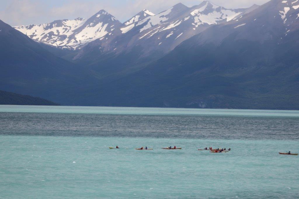
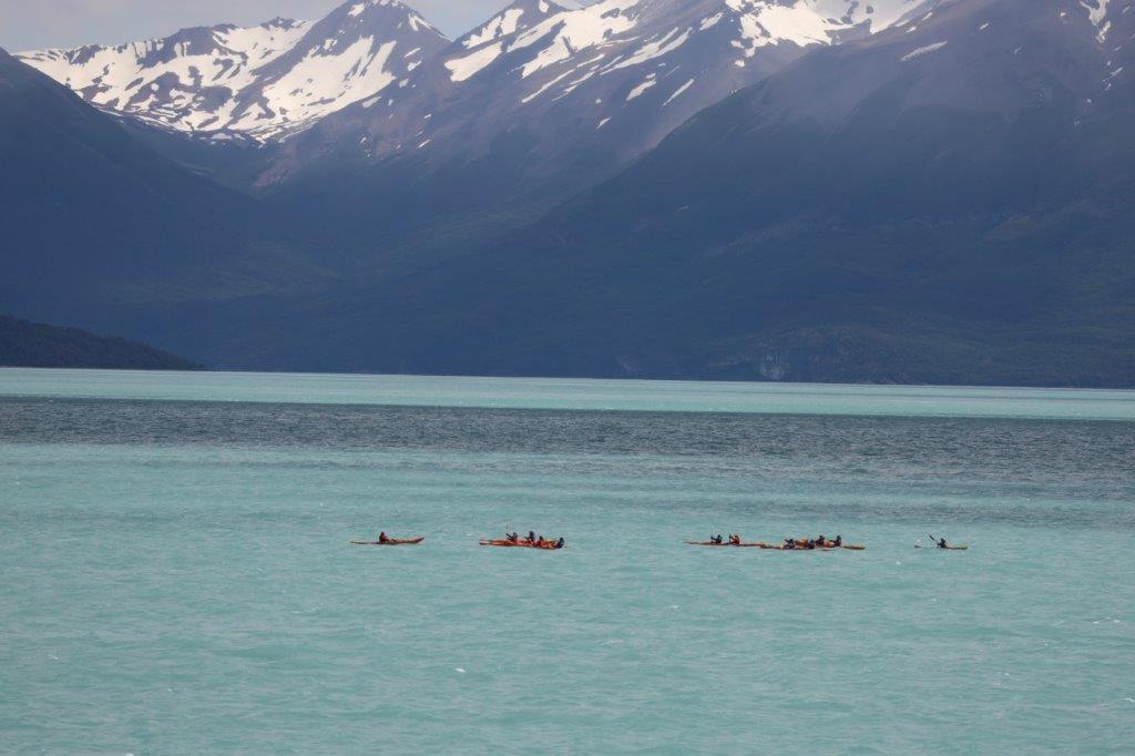
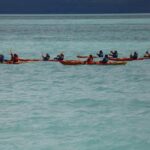
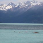
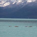
It had been a must see trip, regardless of it being a tourist magnet as well. Another alternative to see the glacier would have been a kayak tour over Lago Argentino, but The Wandelgek had other plans too and a kayak tour to the glacier took a lot more time. Although he would have loved doing this, he decided that it was not practical in his plans.
But yeah…he was a bit envious seeing some kayaks pass by😉
Then The Wandelgek unboarded and drove further towards the glaciar front…
But more of that in my upcoming blogpost😃


