24. Argentina: Boating and Mountain walking at Lago del Desierto (Lago del Desierto Reserva Provincial )
RP23 (Ruta Provincial 23)
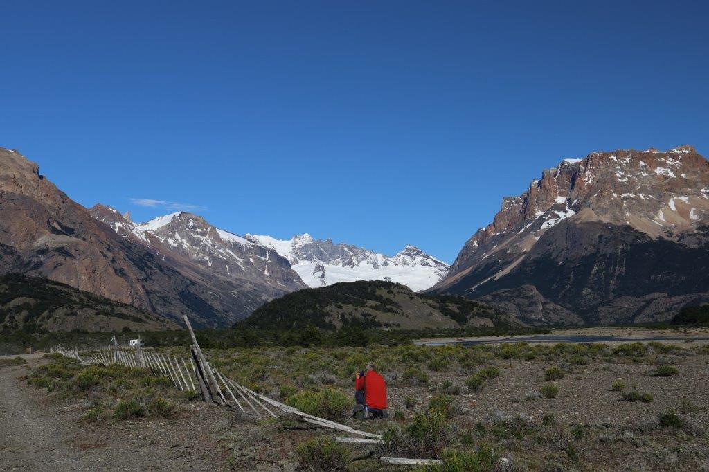
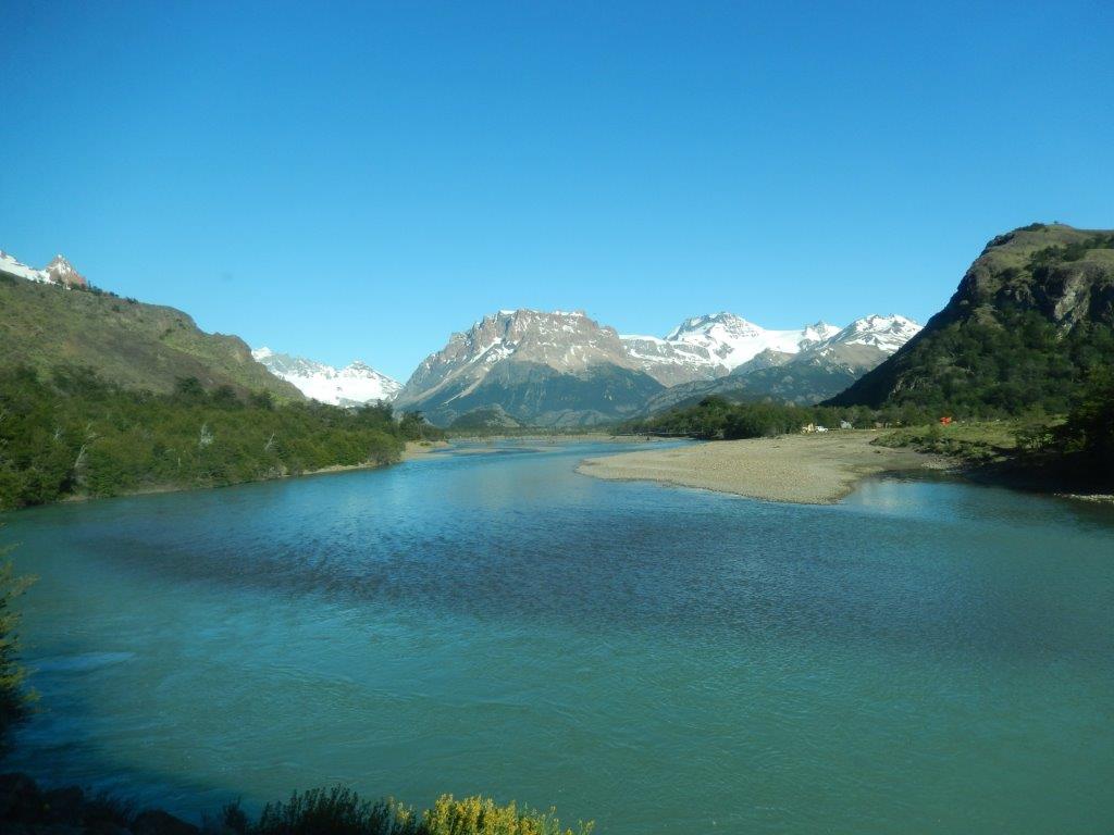
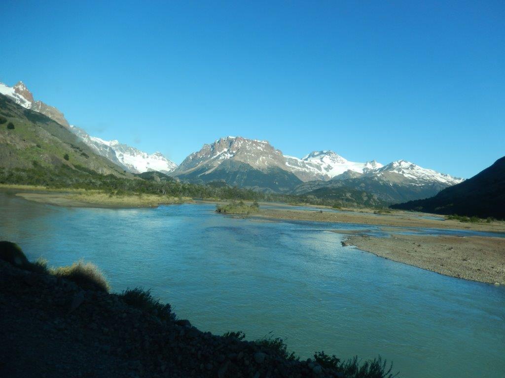
After a fast breakfast at the hotel, The Wandelgek drove north on the Ruta Provincial 23 towards the borders of the Los Glaciares National Park.
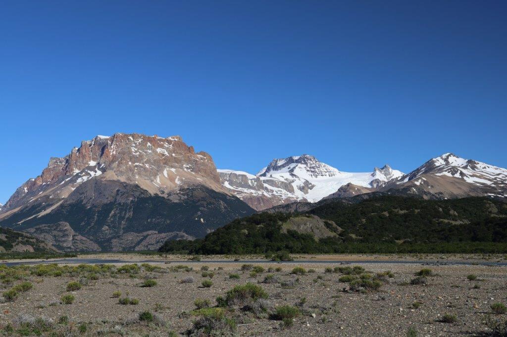
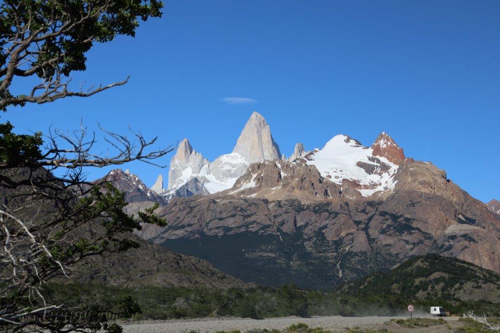
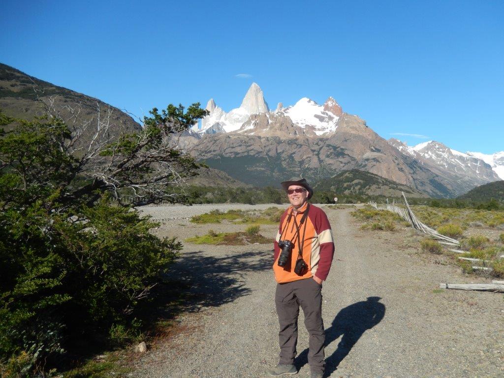
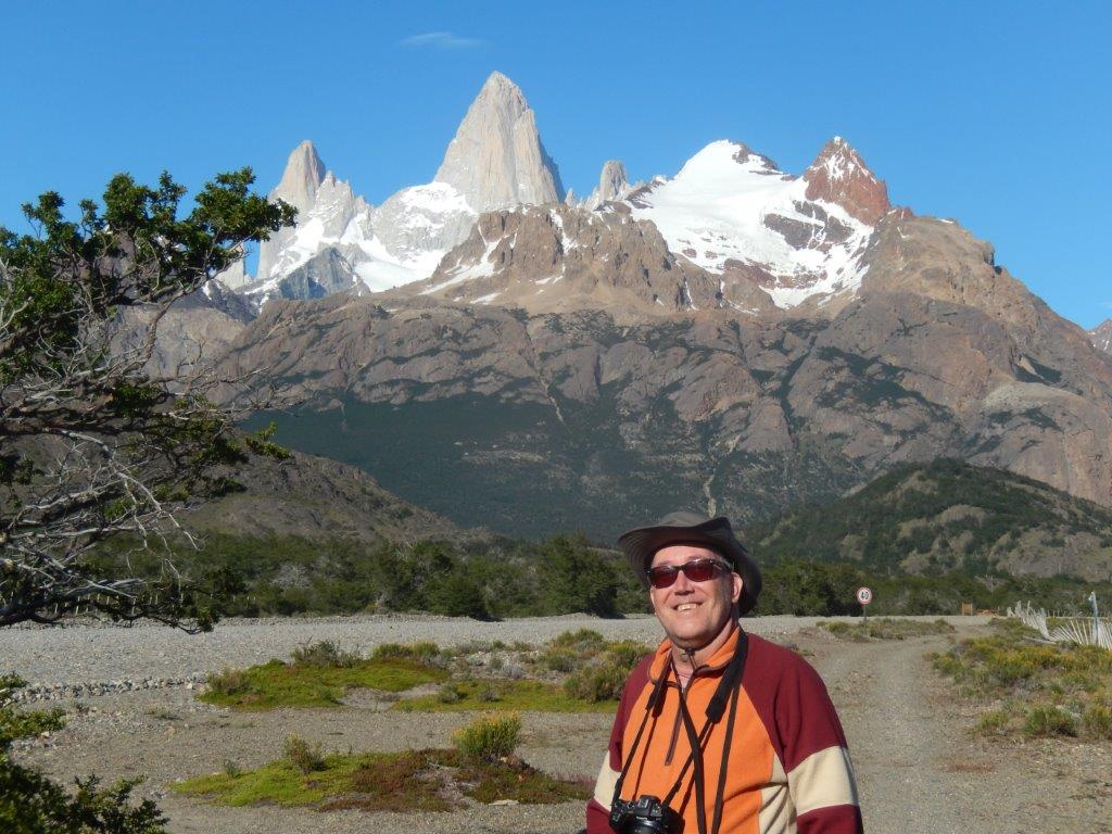
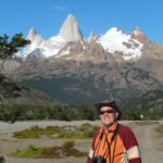
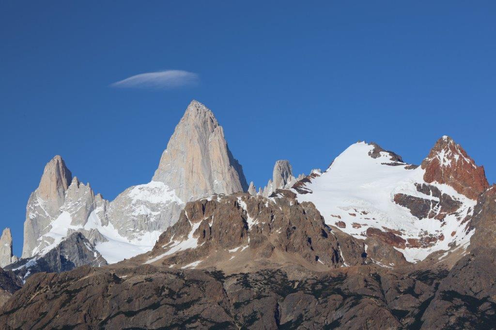
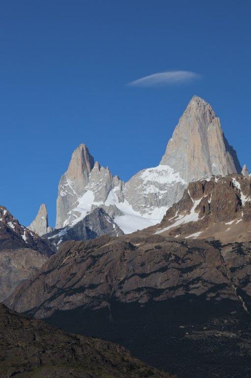
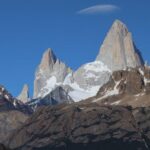
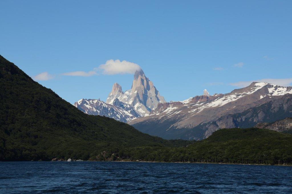
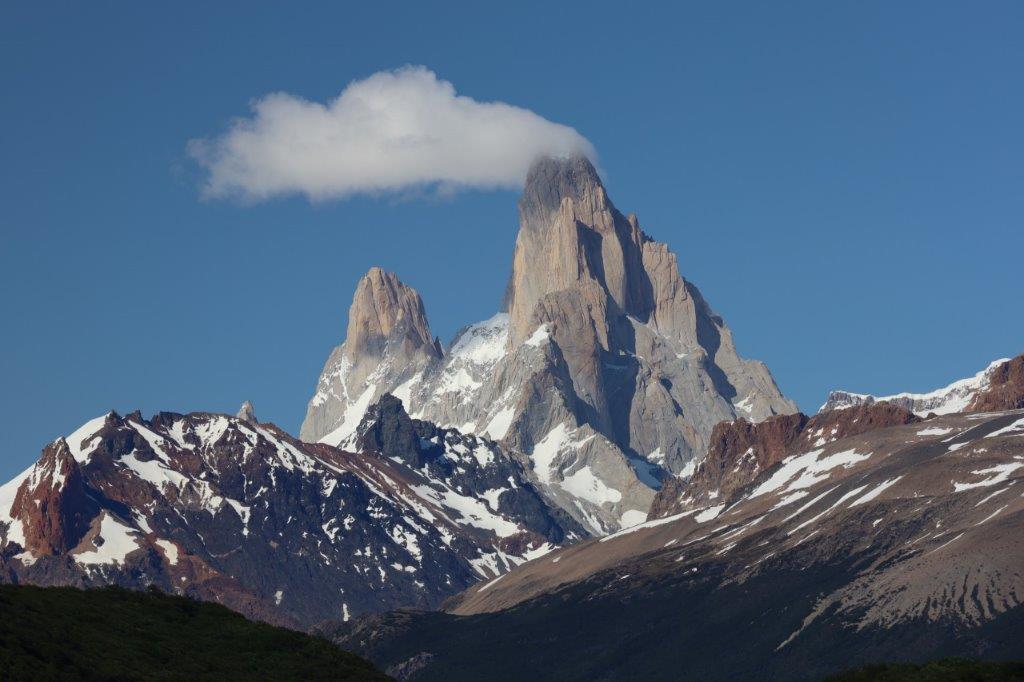
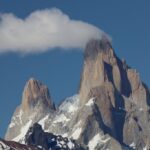
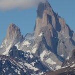
The Ruta 23 drove from the south past Cerro Fitz Roy to the north and with the weather stil being perfect, the views over the surrounding mountains and specificly over Cerro Fitz Roy were breathtakingly beautiful…
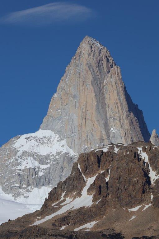
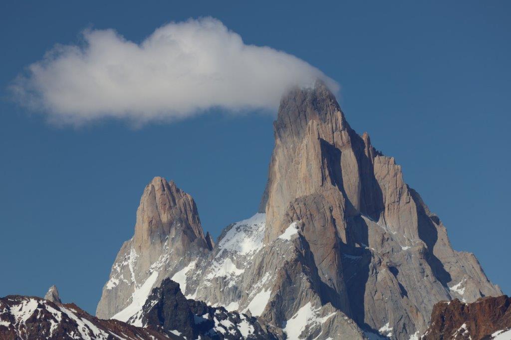
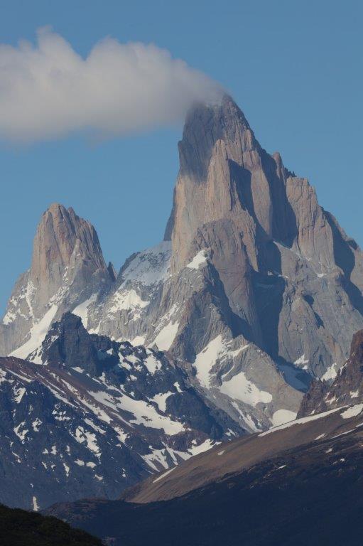
There was this tiny cloud hanging just a bit left over Mount Fitz Roy, which was growing during the day…
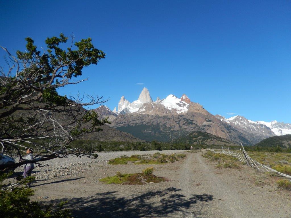 The mountains here were some of the most gorgeous ever, inviting to The Wandelgek to go walking…
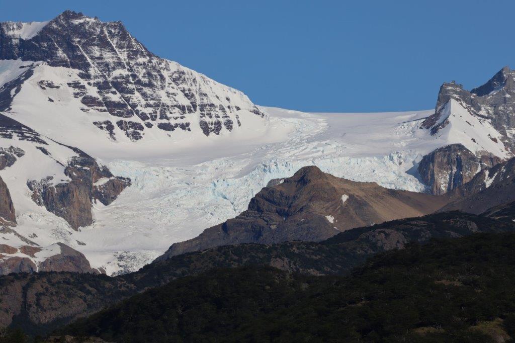
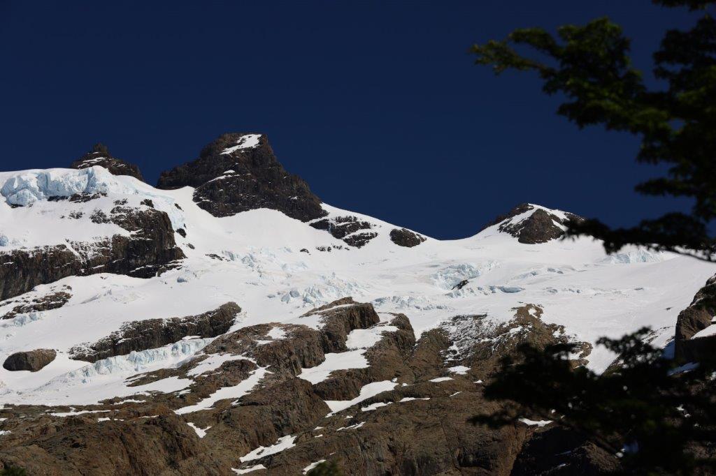
The glaciers around Fitz Roy were awesome…
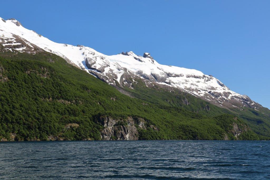
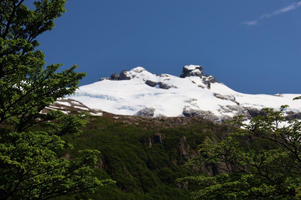
… and although it was late Spring, there was a lot of snow on the peaks…
… which made this drive and the occasional photo stops a real treet.
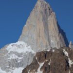
The massive cone of Fitz Roy was impressive abd it really didn’t matter from which direction you looked at it…
A cool stop for pictures was at the…
Mirador Laguna Condor
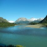
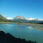
Laguna Condor was a small lake filled with glacial water…
… this still was the lake district. Another good stop for some pictures and vids was at the:
Salto del Annilo
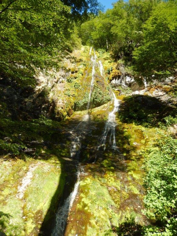
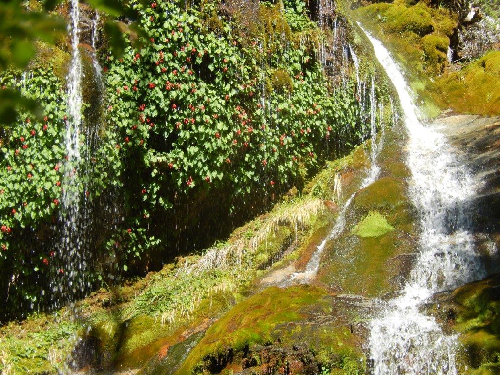
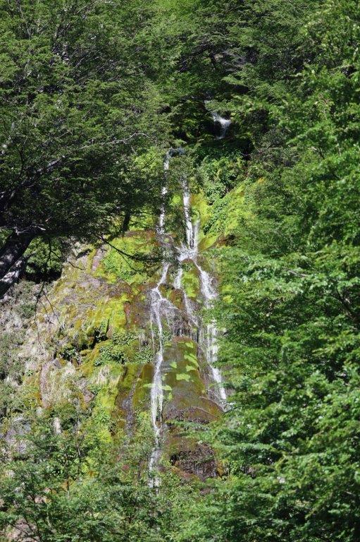
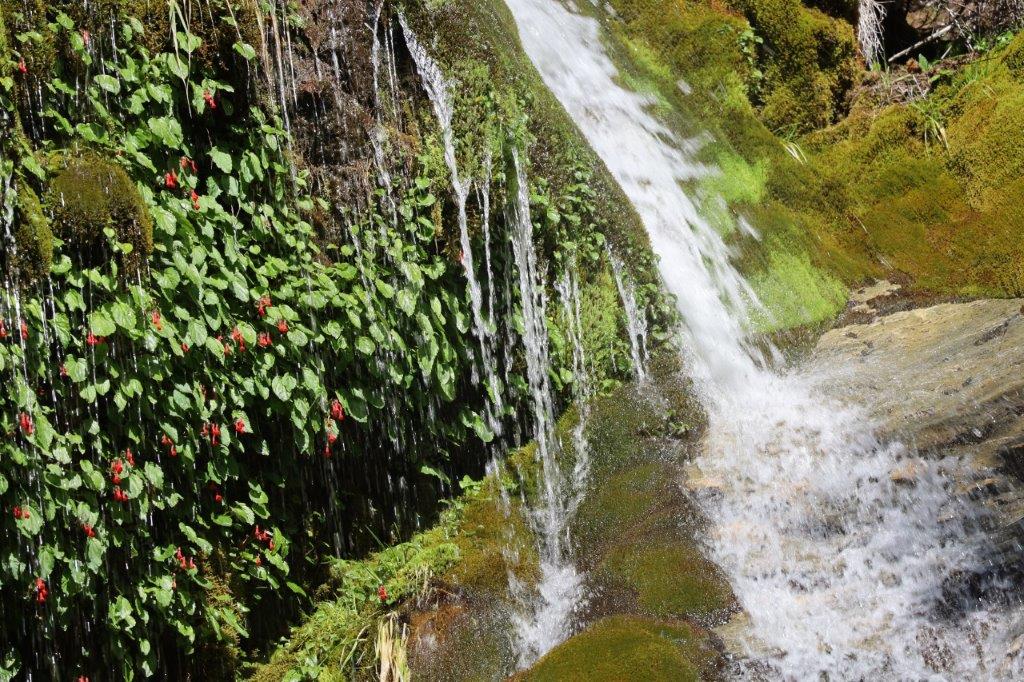
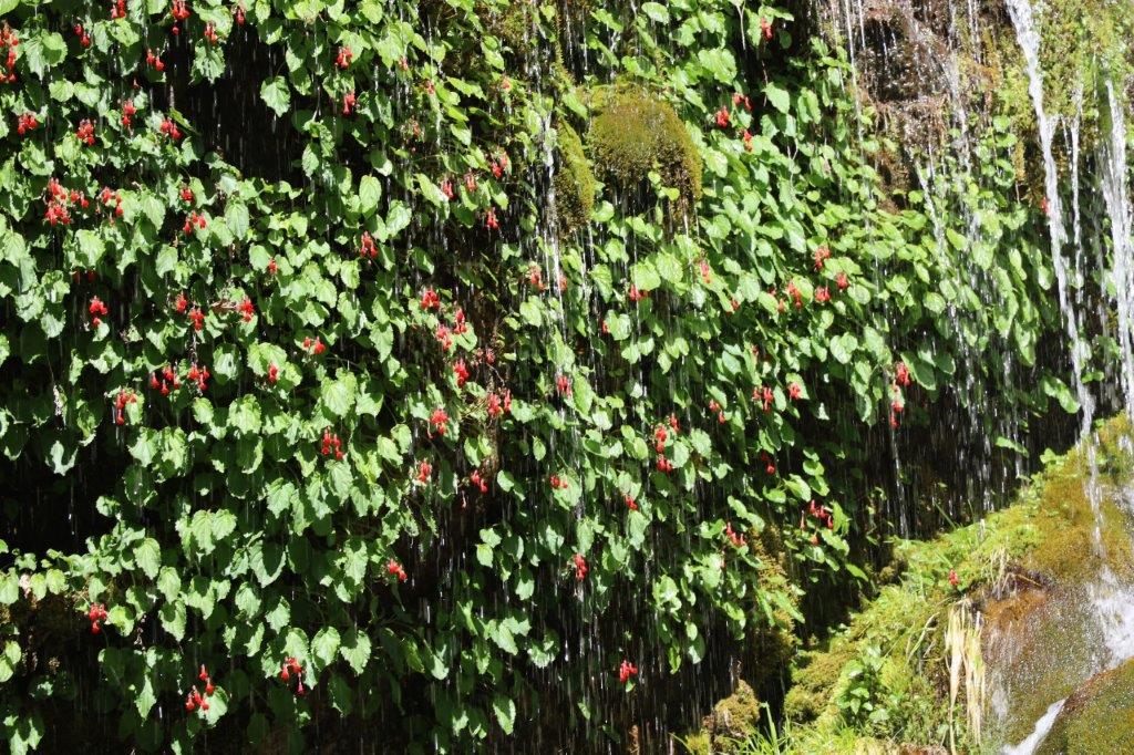
Salto del Anillo is a small, steep and beautiful waterfall in the valley of the Río de las Vueltas.
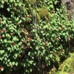
It trickled down between beautiful green and blooming vegetation.
Next The Wandelgek drove into:
Lago del Desierto Reserva Provincial
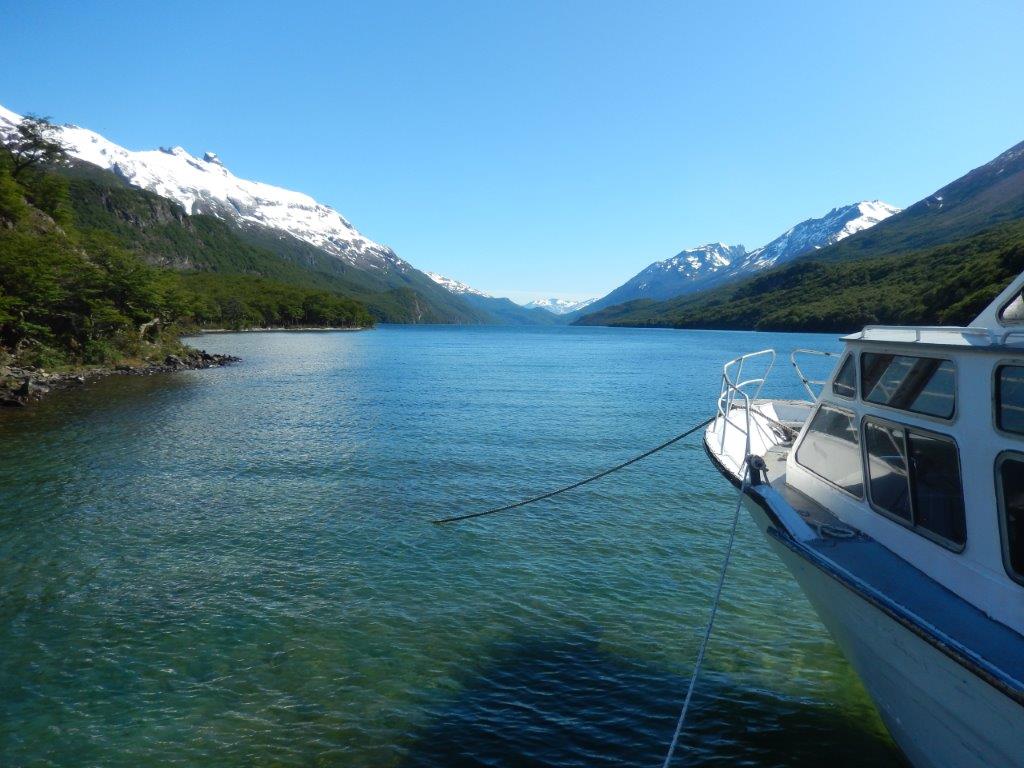
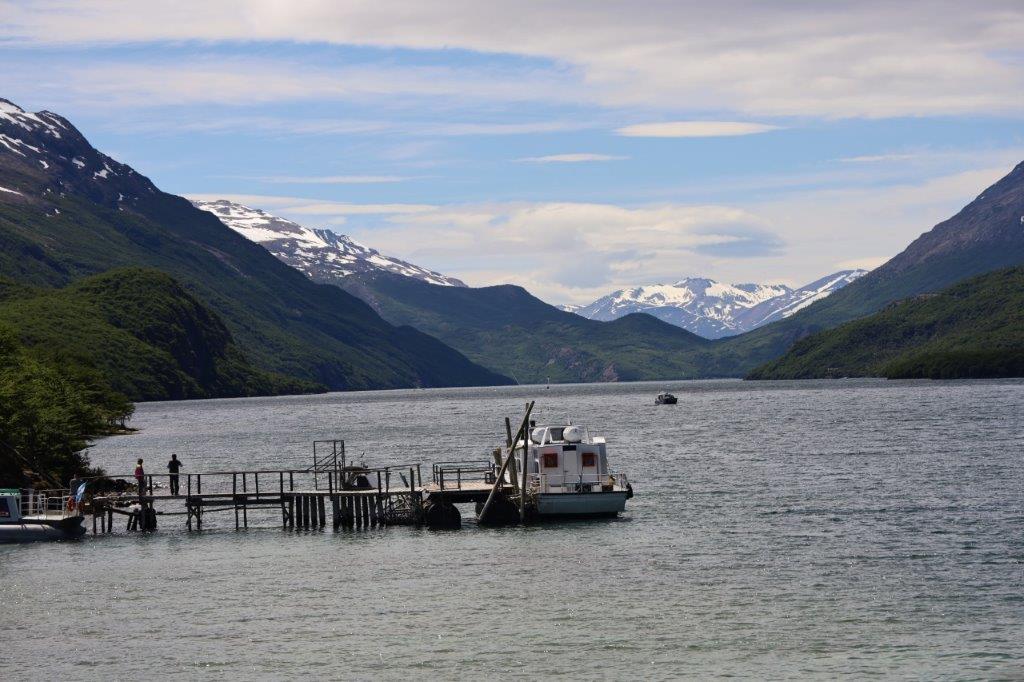
Here The Wandelgek boarded a ship towards the left
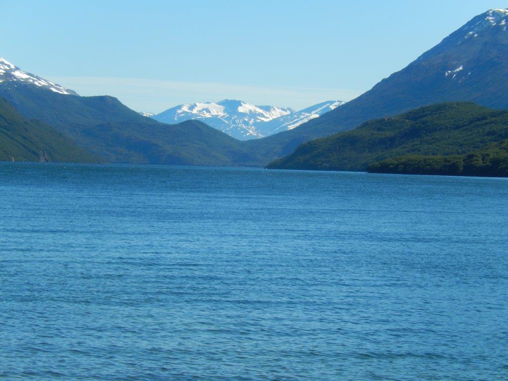
Lago del Desierto
Del Desierto Lake or Lake of the Desert (called Lago del Desierto in Argentina and Laguna del Desierto in Chile) is a natural lake located in the Lago Argentino Department, Santa Cruz Province, Argentina. Located near Monte Fitz Roy and the O’Higgins/San Martín Lake, Lago del Desierto was for many decades the subject of a territorial dispute between Argentina and Chile, escalating to a small firefight on 6 November 1965 when 40 to 90 members of the Argentine Gendarmerie fought against four Chilean Carabineros, of which a lieutenant was killed and a sergeant was injured. The dispute was resolved favourably for Argentina in 1994 by international arbitration.
Lago del Desierto (Spanish for “Lake of the Desert”) is located within a glacial valley at 49°02′13″S 72°51′49″W, north and east of the Southern Patagonian Ice Field (Spanish Campo de Hielo Sur), and only accessible from the Chilean side from the north (approximately 30 km south of Villa O’Higgins). From the Argentine side it was only accessible via the RP 23 from El Chaltén. The valley is located between the Martínez de Rozas Range on the east and the eastern edge of the Southern Patagonian Ice Field on the west. The lake collects the waters of many rivers and glaciers draining from the range, which eventually flow through the lake’s outlet into the de las Vueltas River on the south side, proceeding to the Viedma Lake and ultimately to the Atlantic Ocean.
The views from the lake over the surrounding Andean mountain peaks is sublime and the area has some excellent trails to walk on its western and eastern shores.
It’s time to explain a bit more about the spectacular:
Southern Patagonian Icefield.
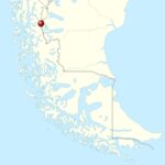 The Southern Patagonian Ice Field (Spanish: Hielo Continental or Campo de Hielo Sur), located at the Southern Patagonic Andes between Chile and Argentina, is the world’s second largest contiguous extrapolar ice field.
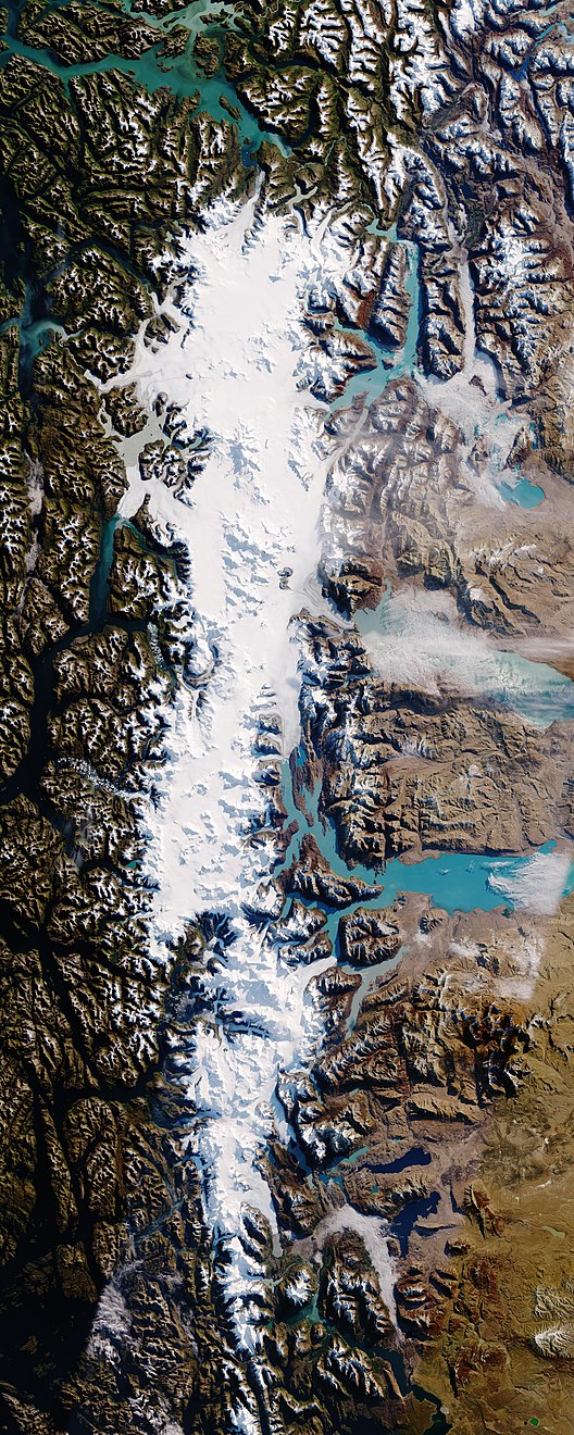
The southern Patagonian icefield, stretching from just north of El Chalten in Argentina, on both sides of the Argentine-Chilean border until south of the Chilean sweet water lakes at Torres del Paine Nationnal Park…
It is the bigger of two remnant parts (the 2nd smaller one lying more north) of the Patagonian Ice Sheet, which covered all of southern Chile during the last glacial period, locally called the Llanquihue glaciation.
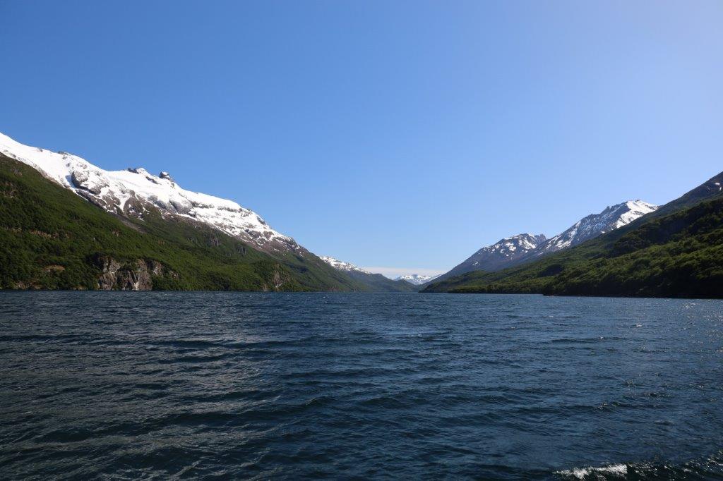
The Southern Patagonia Ice Field extends from parallels 48° 15′ S to 51° 30′ S for approximately 350 kilometres (220 mi), and has an approximate area of 16,480 km2 (6,360 sq mi), of which 14,200 km2 belong to Chile and 2,600 km2 belong to Argentina.
The ice mass feeds dozens of glaciers in the area, among which are the Upsala (765 km2), Viedma (978 km2) and Perito Moreno (258 km2) in the Los Glaciares National Park in Argentina, and the Pío XI Glacier or Bruggen Glacier (1,265 km2, the largest in area and longest in the southern hemisphere outside of Antarctica), O’Higgins (820 km2), Grey (270 km2) and Tyndall (331 km2) in Chile. The glaciers going to the west flow into the fjords of the Patagonian channels of the Pacific Ocean; those going to the East flow into the Patagonian lakes Viedma and Argentino, and eventually, through the rivers de la Leona and Santa Cruz, to the Atlantic Ocean.
An important part of the ice field is protected under different national parks, such as the Bernardo O’Higgins and Torres del Paine in Chile, and the aforementioned Los Glaciares in Argentina.
There are two known volcanoes under the ice field; Lautaro and Viedma. Due to their inaccessibility they are among the least researched volcanoes in Chile and Argentina.
The Cerro Fitz Roy is not a volcano, but certainly did look like one with the “fume”-like cloud attached to its cone…
The lake is on the other side of Mount Fitz Roy, then El Chaltén is. Agter a while The Wandelgek unboarded at the western lake shore, which is nearest to Chile.
Walks to the Mirador de Glaciares and view of Glaciar Vespignani
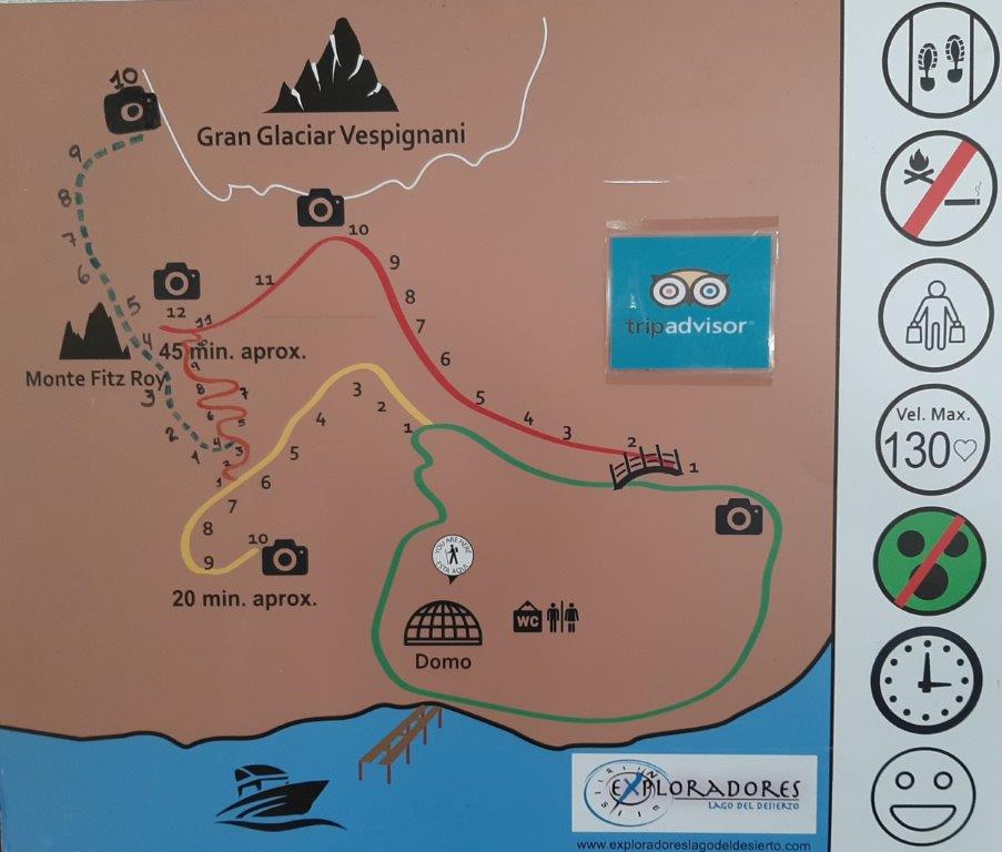
From this location, there were multiple (short distance) walks of variable steepness possible. The Wandelgek walked a noose like combination of some of these of about 2.6 kilometers, starting at the jetty where boat had dropped him off. He followed the green trail past the domo (dome) then took the yellow trail going up to the mirador of Lago del Desierto at its end and then retracing steps and dviating onto the steeper orange trail and eventually the last part of the red trail ascending towards the mirador (viewpoint) of the Gran Glaciar Vespignani. From there he descended on the red trail crossing the wooden bridge and then finished the green trail which more or less level, going towards the Lago Del Desierto and following its shore until it leaves the shore towards the Domo, where toilets are and there was coffee.
The walk is not an easy one but not super difficult either. Let’s say it’s challenging. (You can also do the ascend on the red trail, which is easier). There’s also the blue trail, which is a lot more challenging because of a stretch which is rocky and uneven (rubble). It gives access to the base of the glacier and an incredible view over Monte Fitz Roy as well, but tgere’s a down side to this trail too, apart from it being more difficult. It takes longer to reach the mirador and this is important because of the connections with the boats. It’s not impossible though, but takes even longer if combined with the other walks. The blue trail is not connected in a loop with the other trails so you need to retrace it almost completely to connect. The Wandelgek skipped this trail.
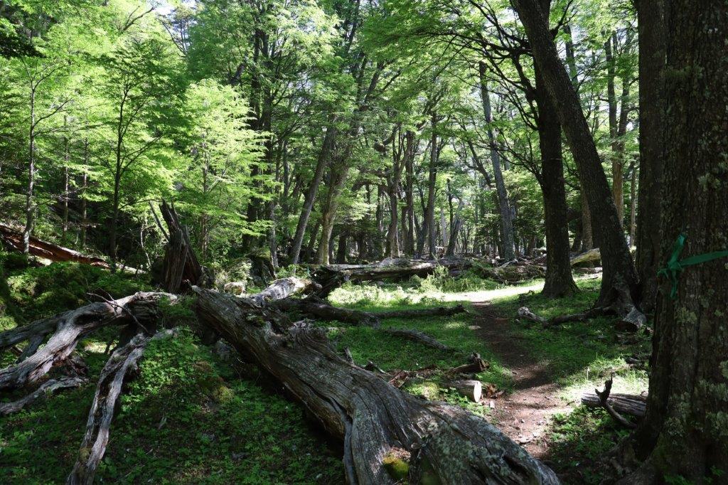
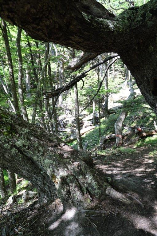
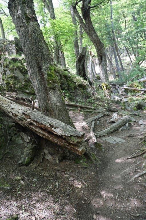
From the jetty, the 1st section on the green trail went past the Domo area into a relatively flat level forest area between the lake shore and the mountain.
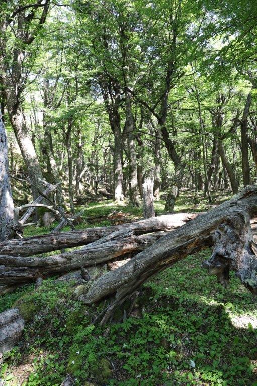
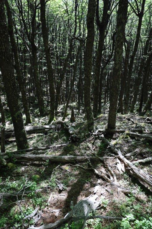
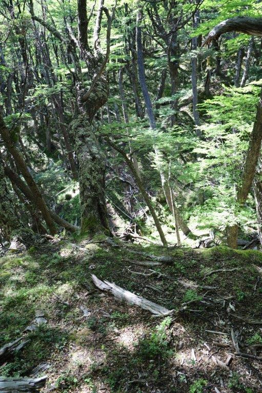
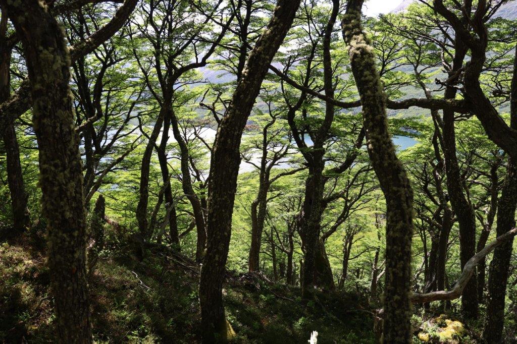
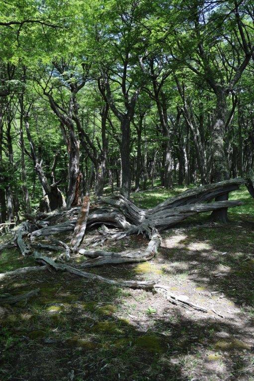
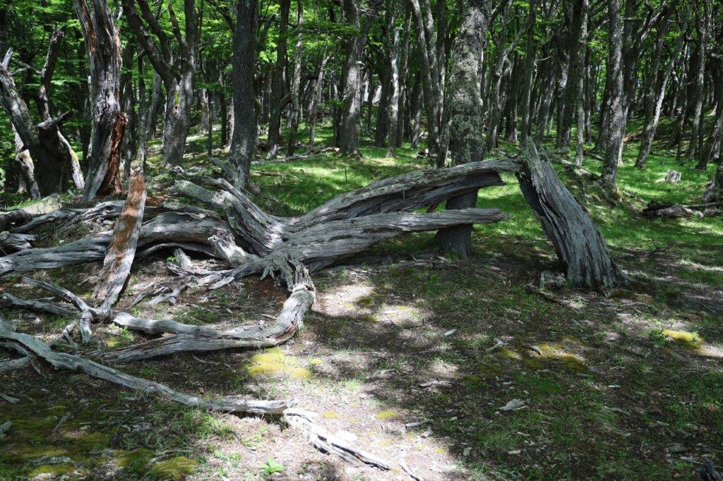
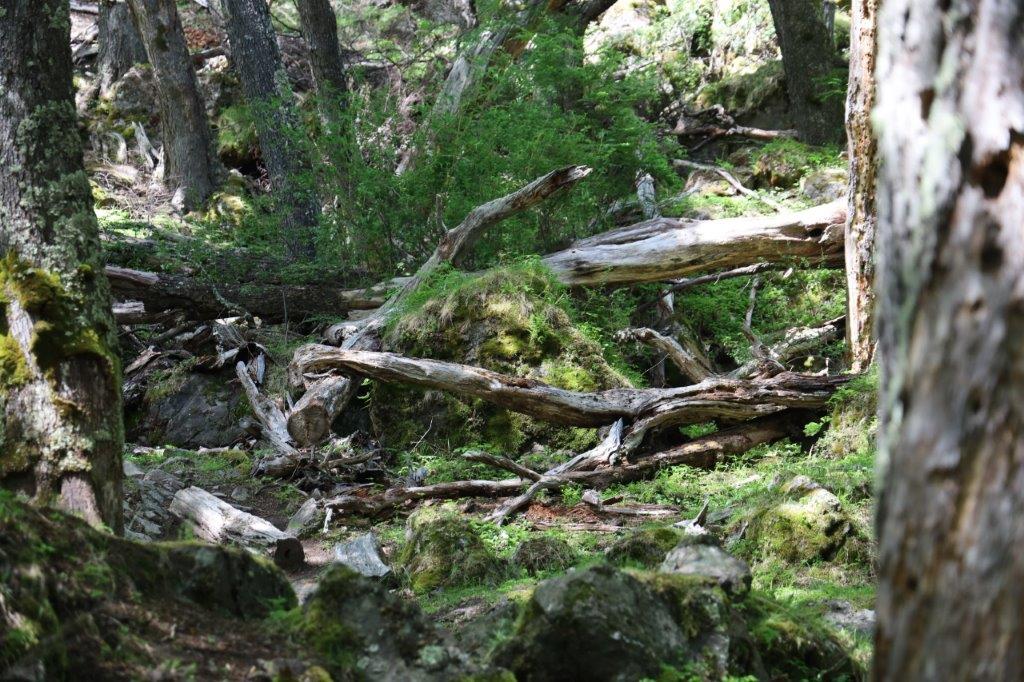
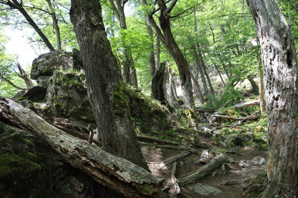
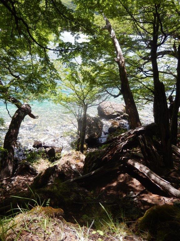
It is a very beautiful forest with fallen trees or gnarled tree stumps, lots of green on the forest floor and on a sunny day, patches of sunlight are printed on that floor. Rays of light penetrate the canopy and create a diffused green light which constantly flickers from white and yellow to light green and via dark green to black.
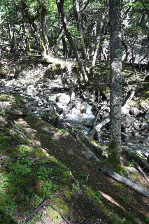
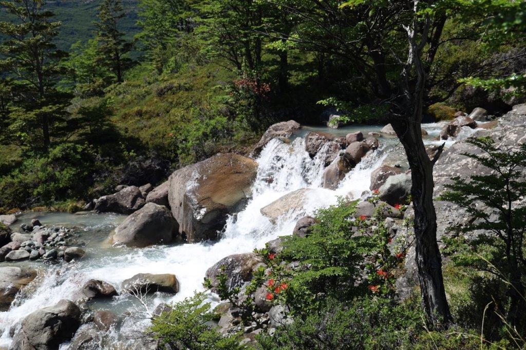
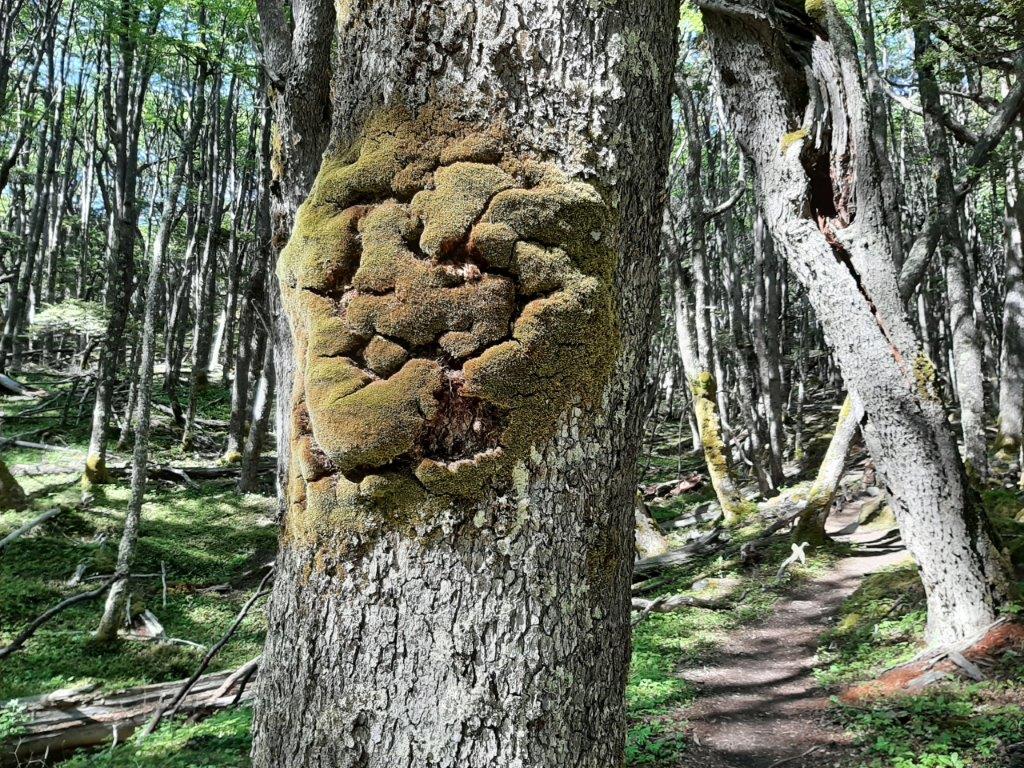 After a while the trail follows a small river…
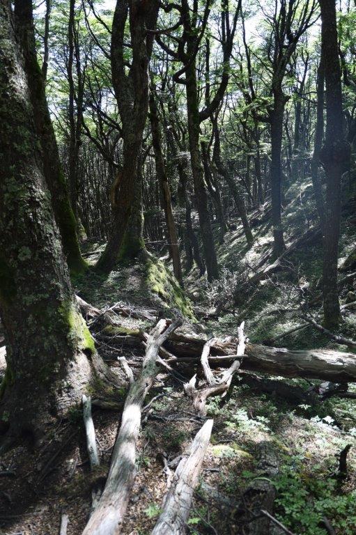
The green trail, although rather flat level compared to the other trails is not without obstacles. It is sprinkled with fallen trees and tree roots so carefull walking is a necessity.
At a yellow making on a tree, the yellow trail starts and immediately deviates from the green trail, descending immediately too. The trail is narrow and already quite steep and it follows the little river uphill.
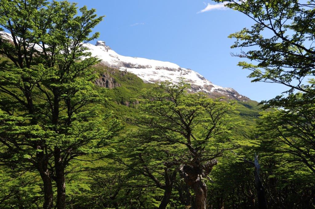
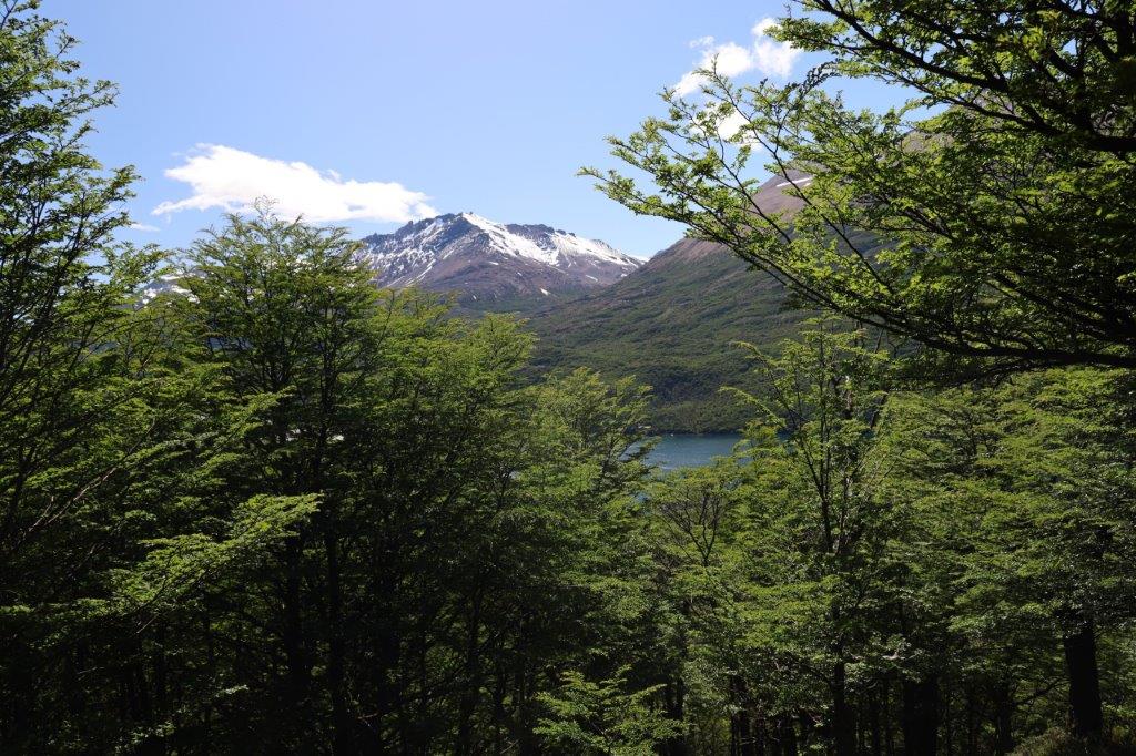
Where the thickets give away to the sunlight, sudden clandestine views over the mountains are dealt like aces from pack of cards.
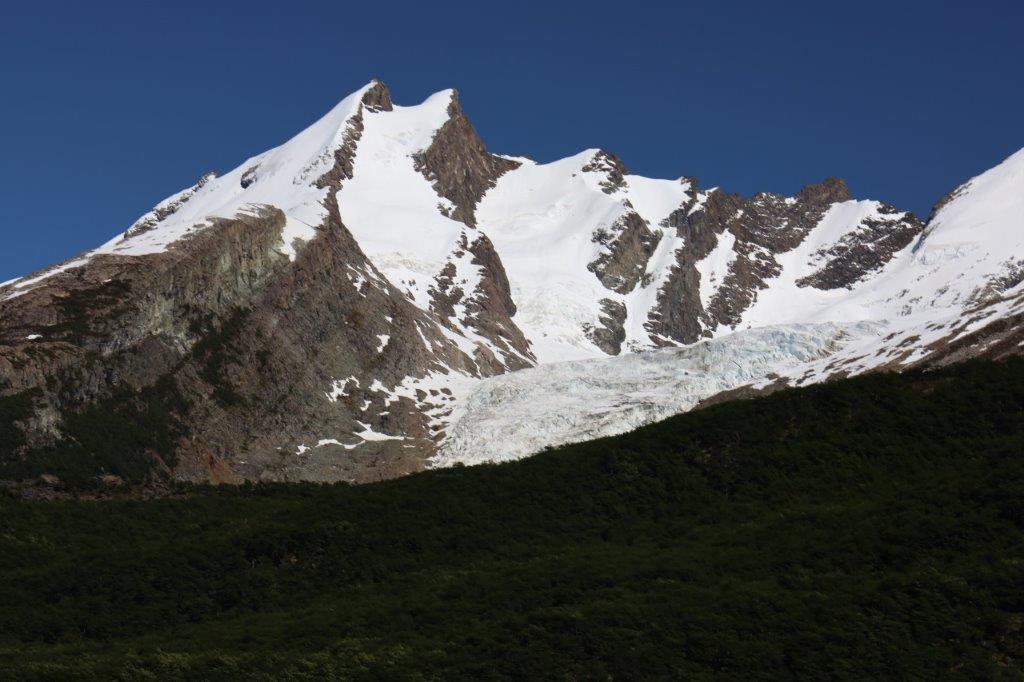
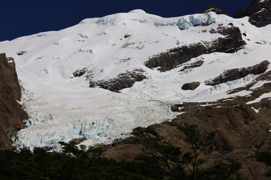
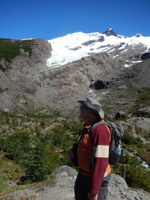
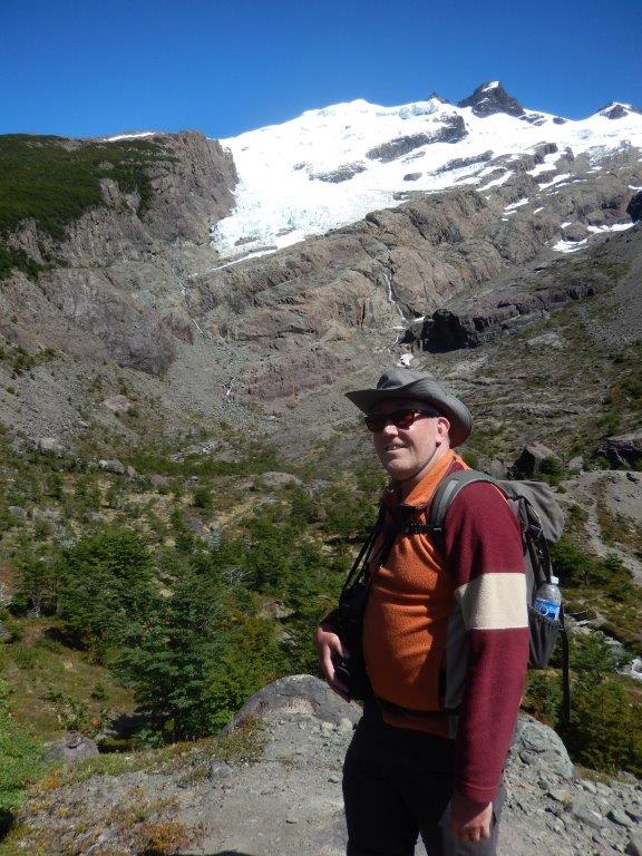
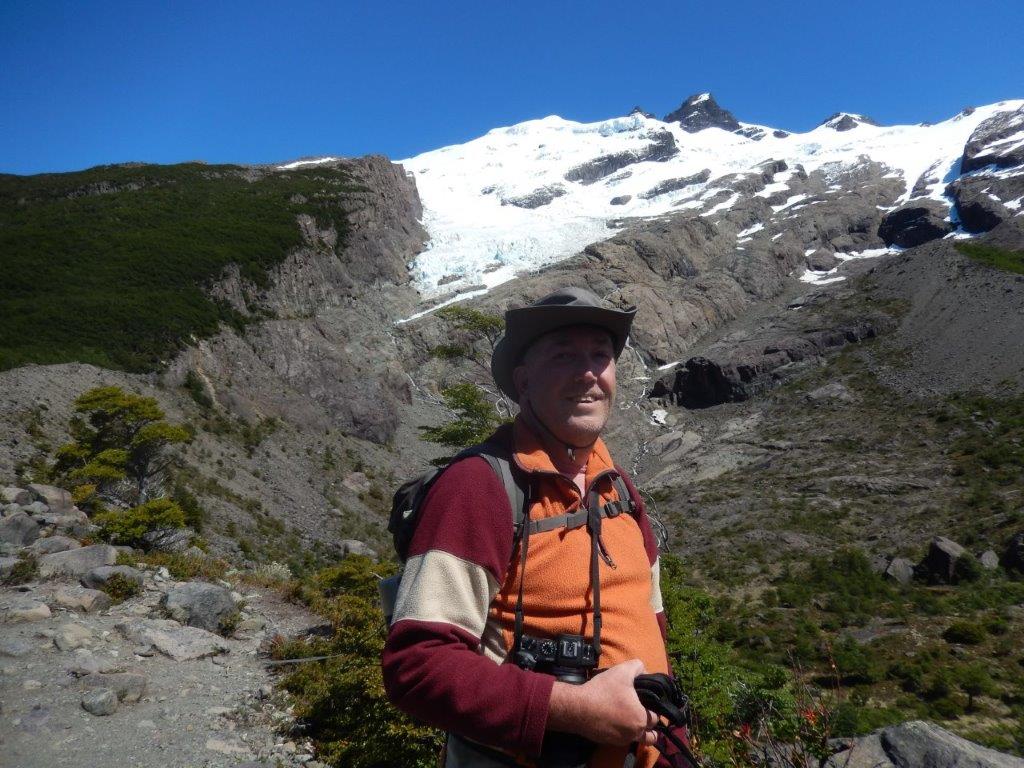
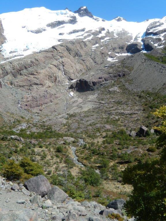
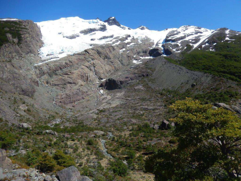
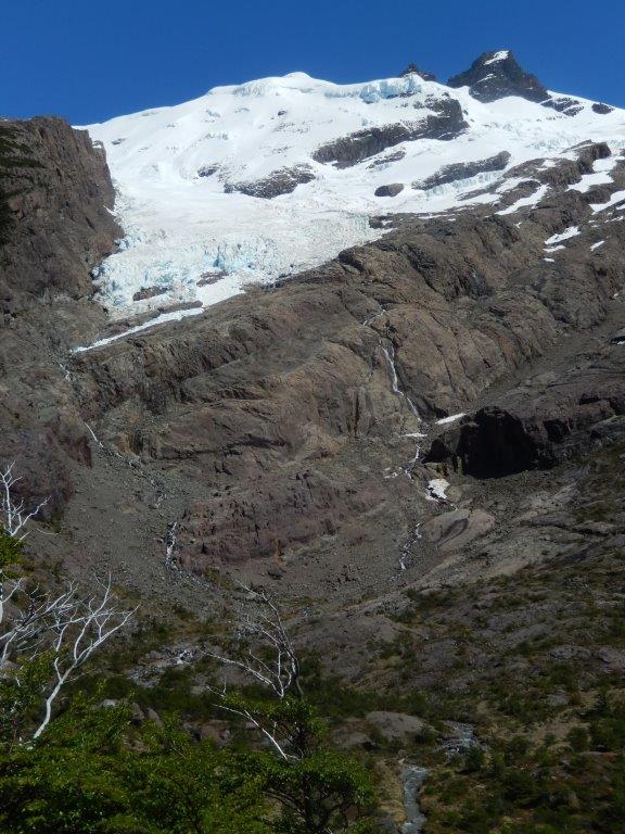
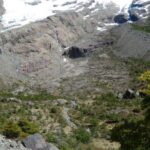
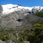
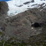
The Wandelgek followed the yellow trail to its very end, from where there was an excellent view over the Vespignani glacier…
Nice shot…
…even better…
Next The Wandelgek retraced a section of the yellow trail until he reached a sign dviating from the yellow trail which was a bit confusing. It was marked dark red or purple. He expected an orange sign but the trail did lead to the red trail and orange and red mixed is probably dark red or purple😂.
This orange trail section definitely was the steepest and narrowest part of the trail…
The trees were directly next to the trail and were of help in The Wandelgek’s efforts trying to scale this part of the trail…
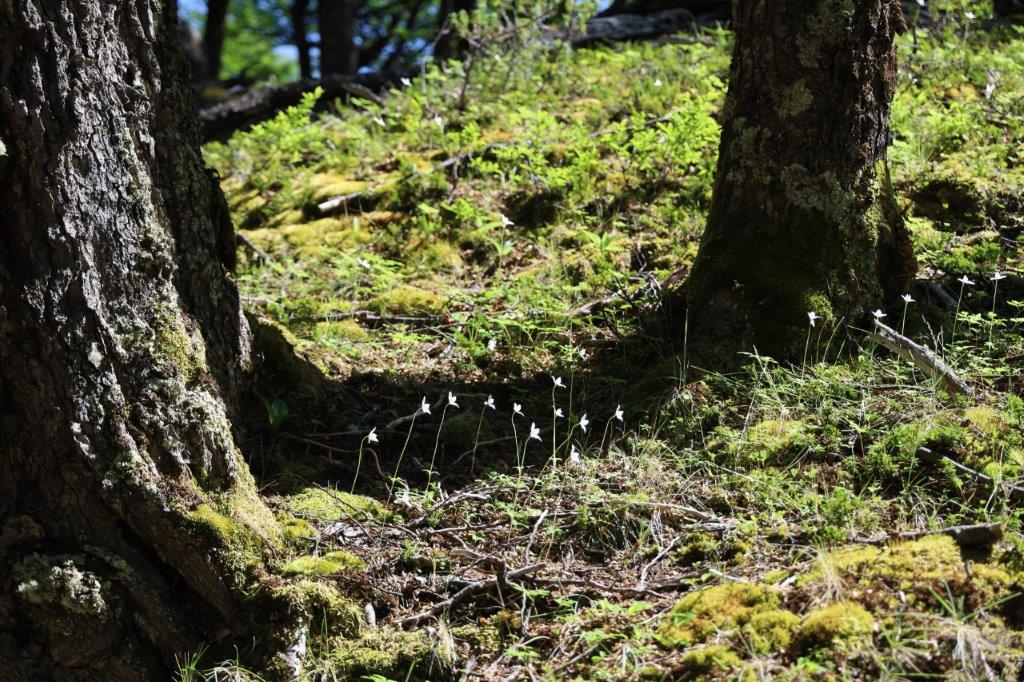
The Wandelgek loved this part of the walk. Higher up the mountain slope, the forest became less dense and allowed more sunlight through its previously to thick canopy, which now allowed small flowers to grow, like these beautiful white ones…
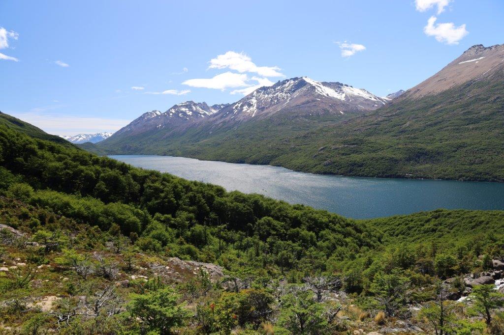
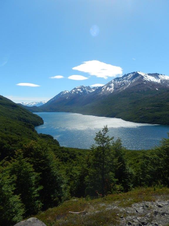
The lake beneath grew gradually smaller…
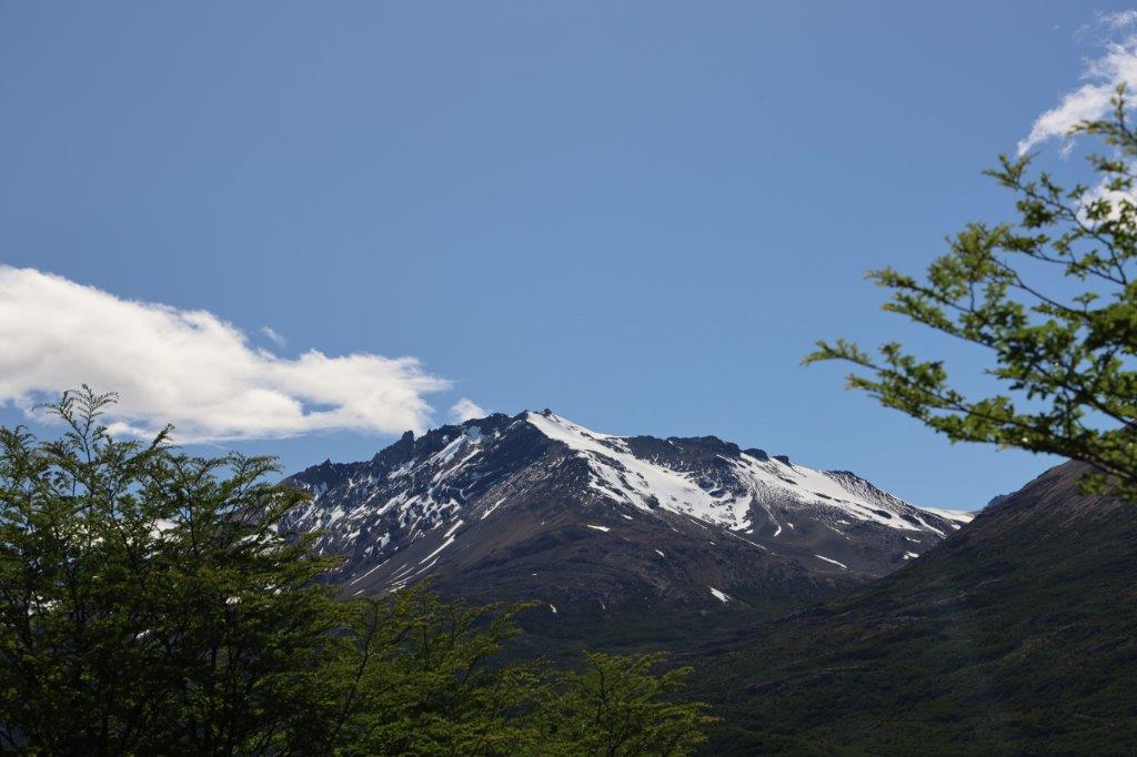
…and the mountain summits became more and more visible…
There was a bit more clouds in the sky which remained mostly blue…
Then there were suddenly almost no trees left. They were replaced by much lower bushes but looking up the mountain slope, The Wandelgek saw them growing smaller too and eventually disappearing completely…
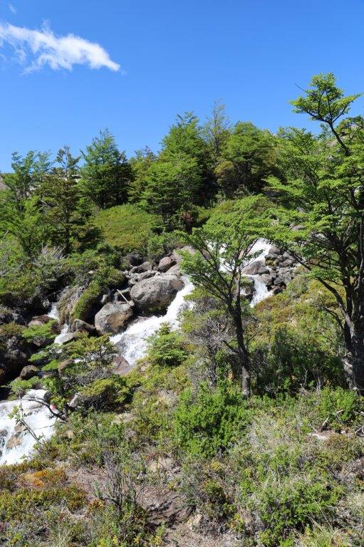
The little river kept falling down the mountain over small falls, running towards the lake…
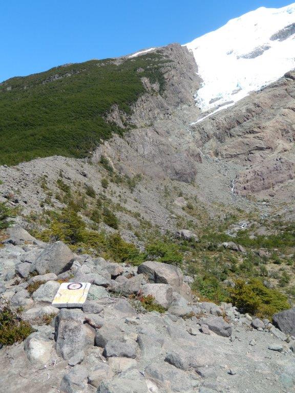
This was of course all freezing melting water coming directly from the Glaciar Vespignani …
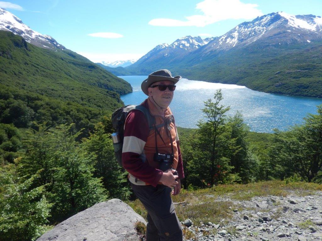
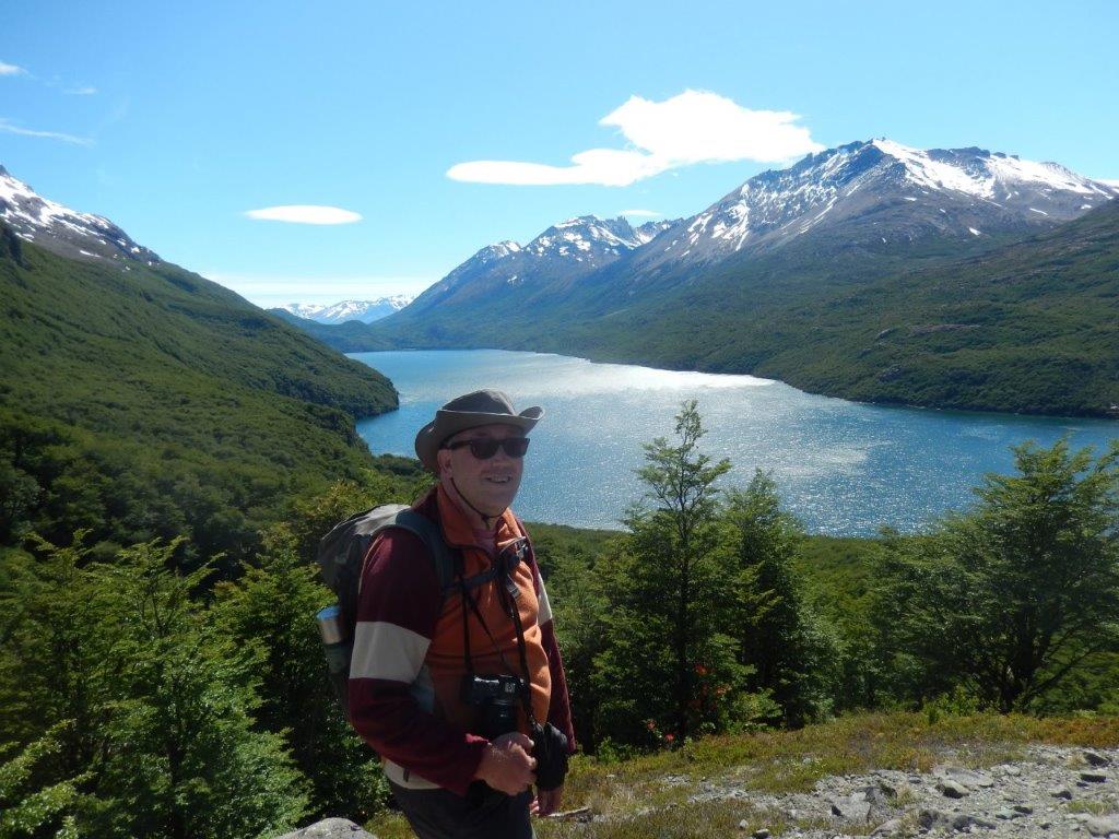
Then The Wandelgek reached the top of the orange trail, from where he had a marvellous view over Lago del Desierto…
He thought just: “Wow”…
He then ascended on the last stretch of the red trail towards the mirador, from where he had a mind blowingly awesome view on the glacier and could also see the source of the little river he had been following…
There had not been much other hikers on the trail, but here he met some and this always provided the opportunity to make some pictures which were not created with a tripod and timer or were not selfies😄
The little river plunged down from the glacier and then ran further down between the morene rubble towards the edge of the tree line, then plunging down towards the lake…
This was one of those moments where The Wandelgek forgot about date and time. Nothing mattered anymore, just absorbing these views and also the wind, the sunlight, the sound of the birds and the noise of the water. Overlooking the lake he looked at the time indication of his telephone and was suddenly reminded of the department time of the boat at Puerto Vespignani…
It was quite a walk which The Wandelgek had planned so he tore himself away from the mirador and started descending. He now took the red trail going down.
At the bridge he took some pictures of the landscape molded by the ice and then walked down to the green trail to finish the hike at the dome.
After a coffee and a quick lunch it was time to board. The boat was now crossing the lake towards the Aguas Arriba lodge, from where a walk started along the lake shore and then up towards a viewpoint over the lake.
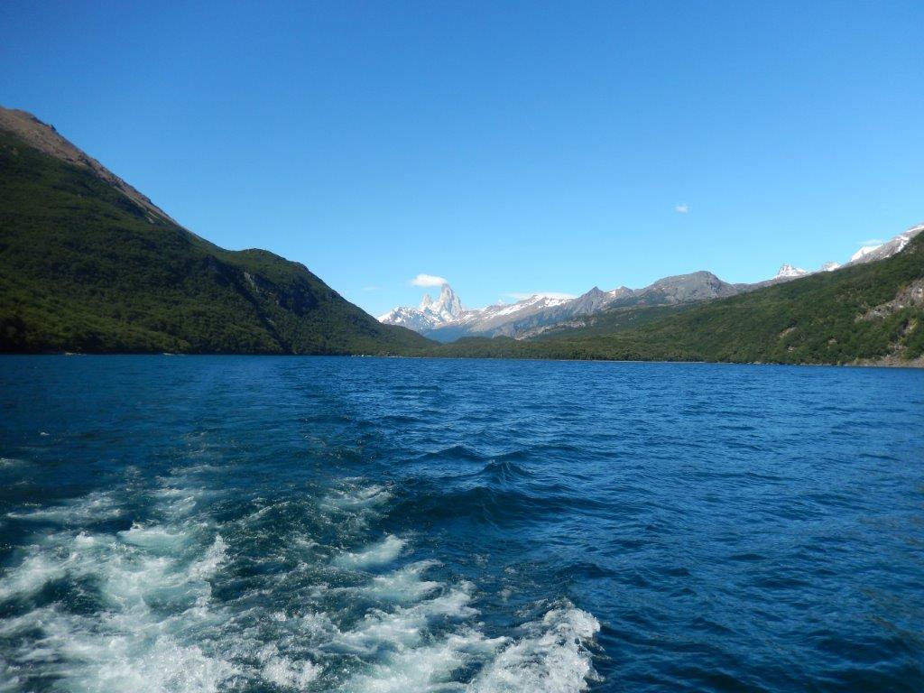
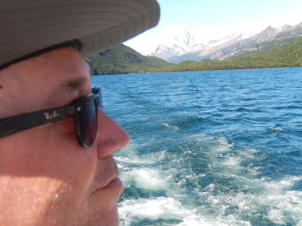
Crossing the lake
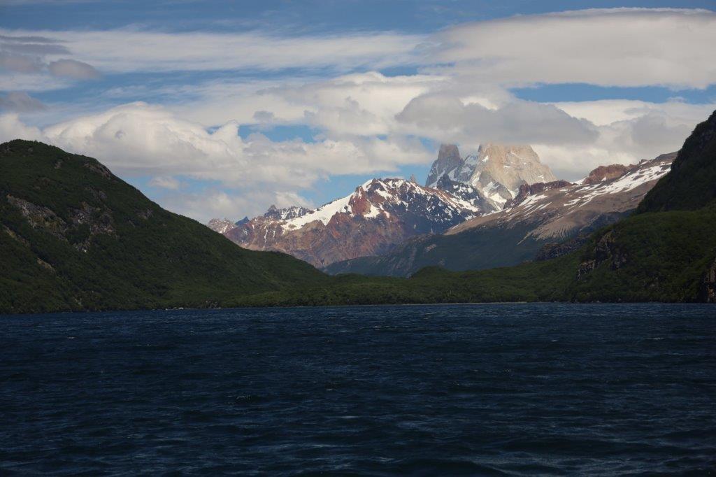
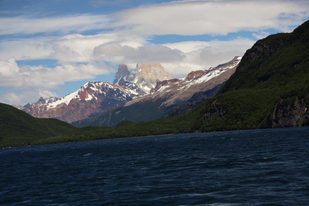
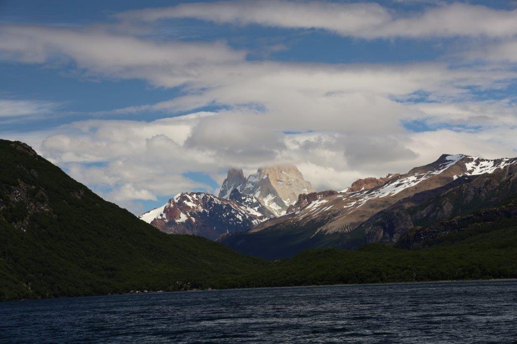
There were more clouds around Mount Fitz Roy now…
Weather was changing…
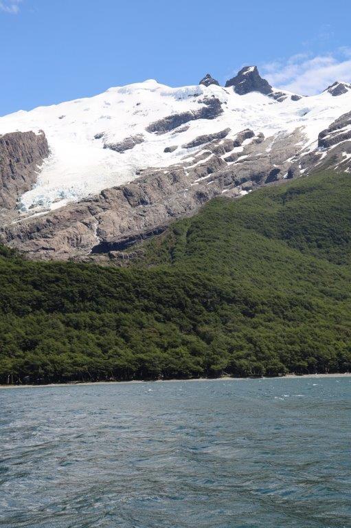
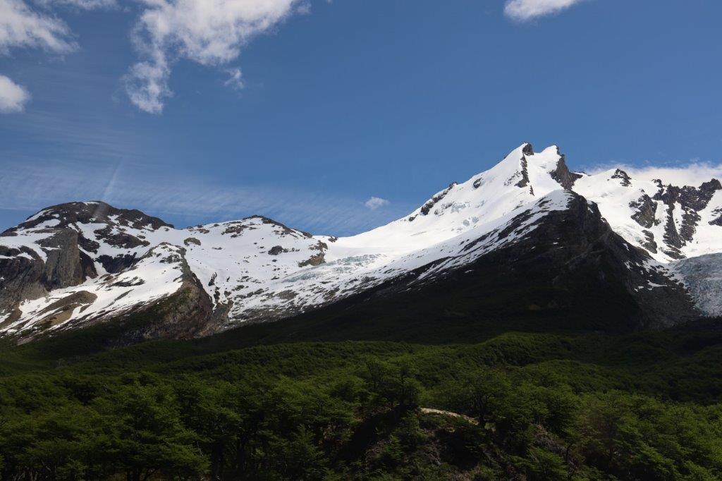
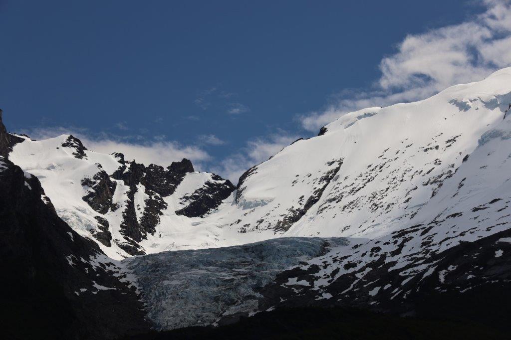
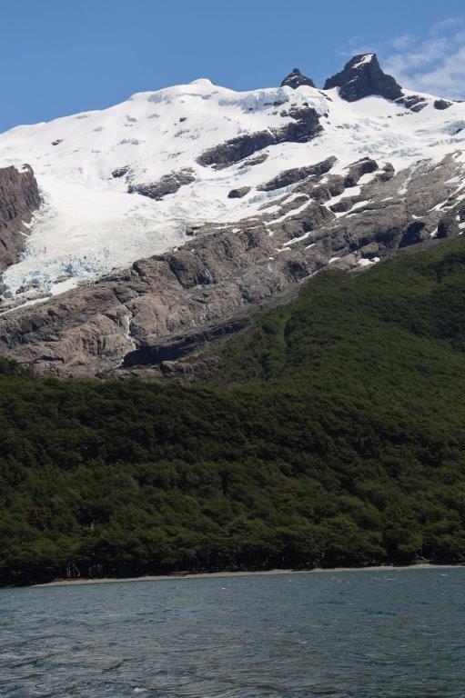
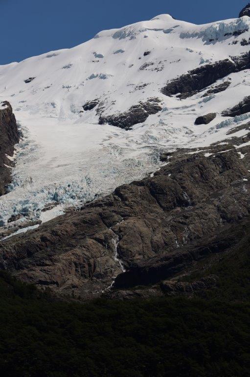
From the boat there were some alternative views on the glacier…
There are a few large glaciers visible from Lago del Desierto, like the Vespignani glacier, but also the Huemul glacier …
The top of Fitz Roy was now almost completely hidden in clouds…
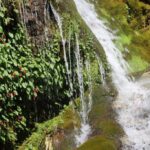
Waterfalls
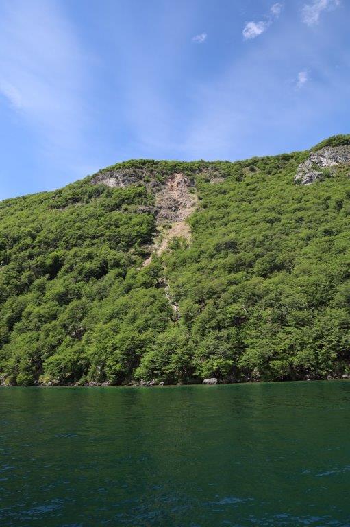
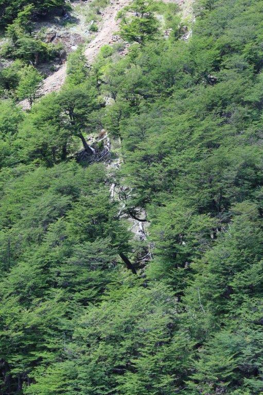
The steep slopes at the other side of the lake had some waterfalls falling down to the lake…
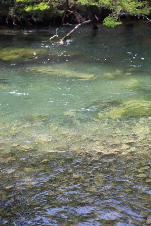
Clear water and trout fishing
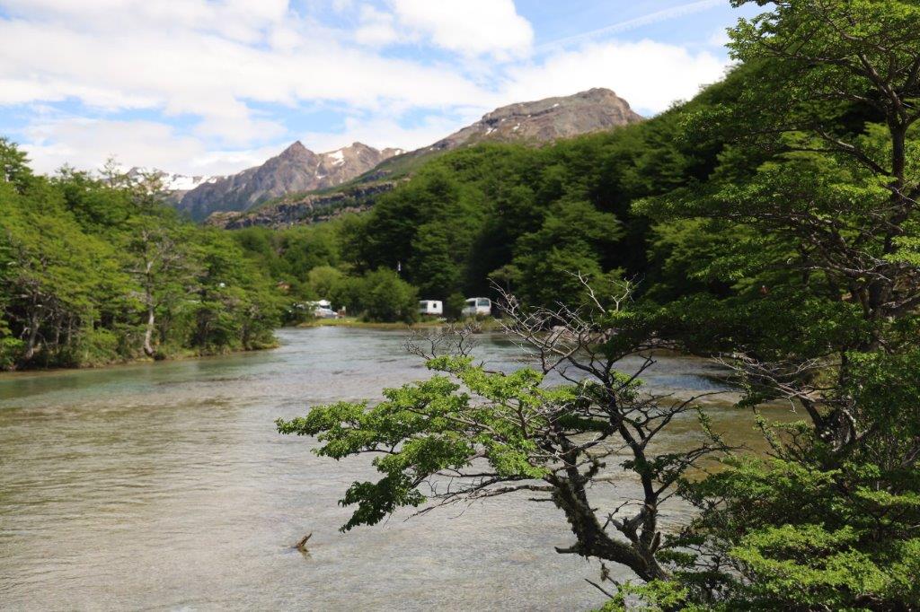
After setting foot on the other shore, The Wandelgek decided to go for a relatively easy hike along a river, crossing a suspension bridge and then following the river and next the lake shore. The trail is relatively flat level .
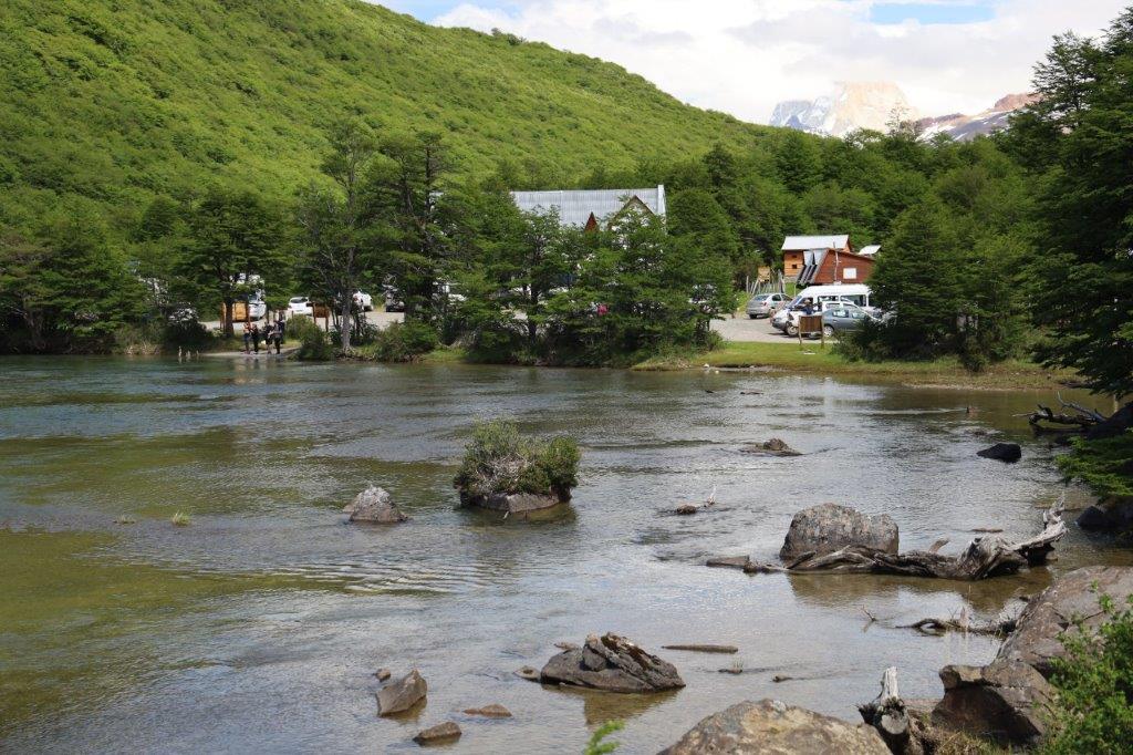
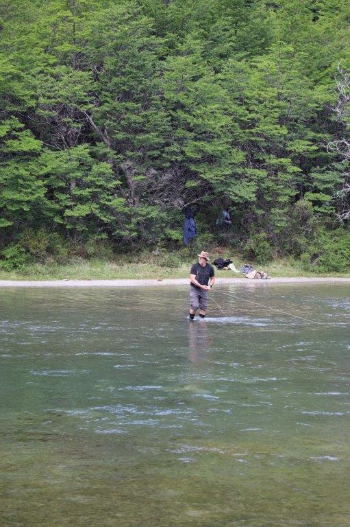
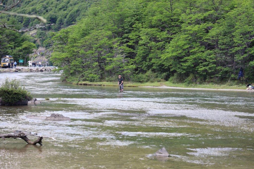
There were only a very small amount of buildings, including a lodge. People visiting here were (besides hikers), fishermen and canoërs.
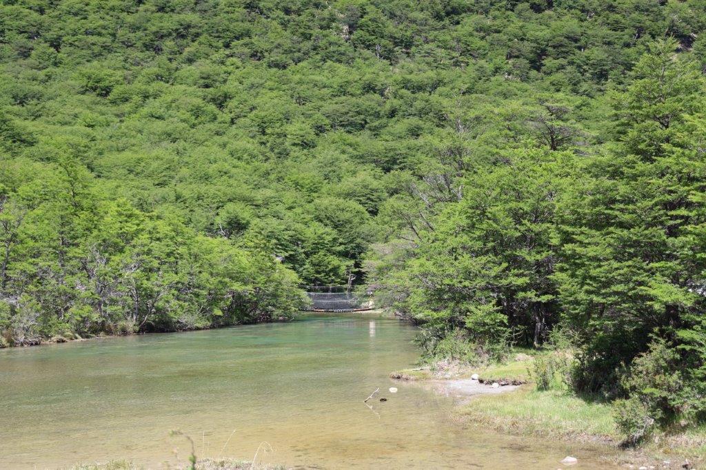
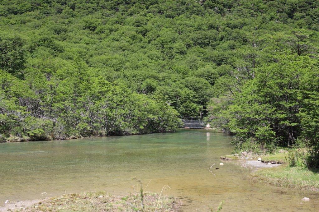
Fa away The Wandelgek saw the suspension bridge he needed to cross…
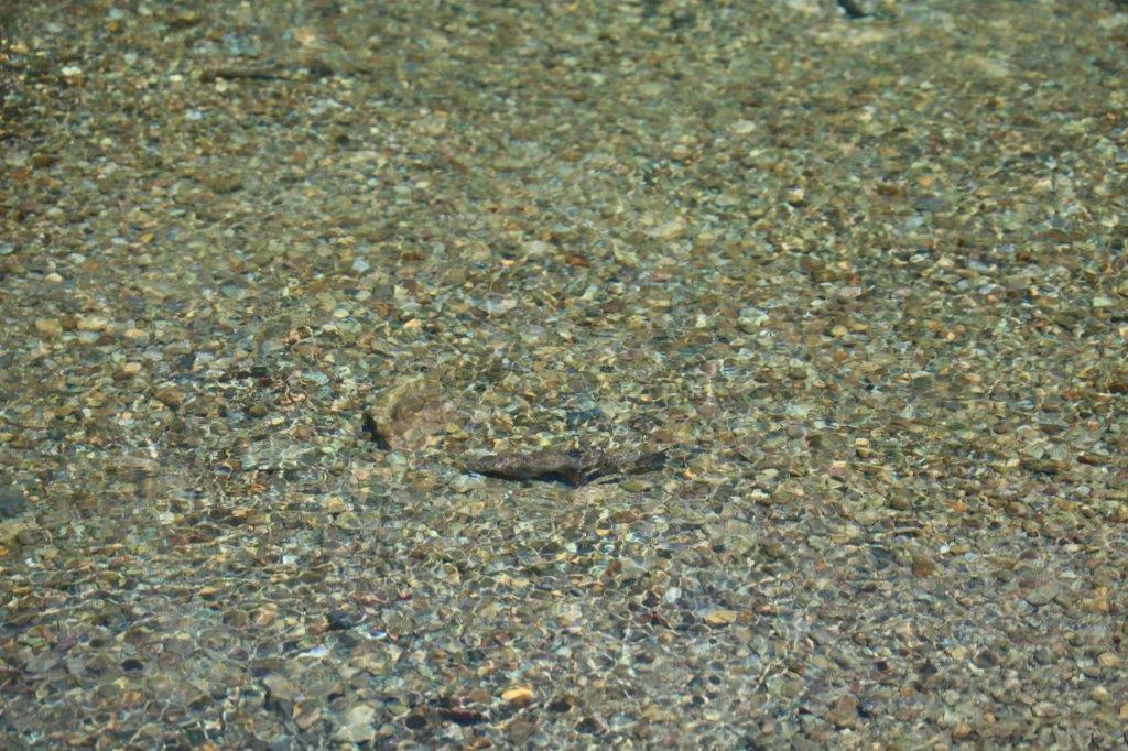
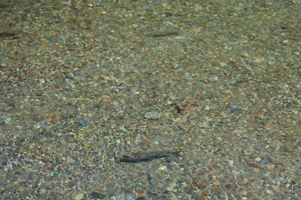
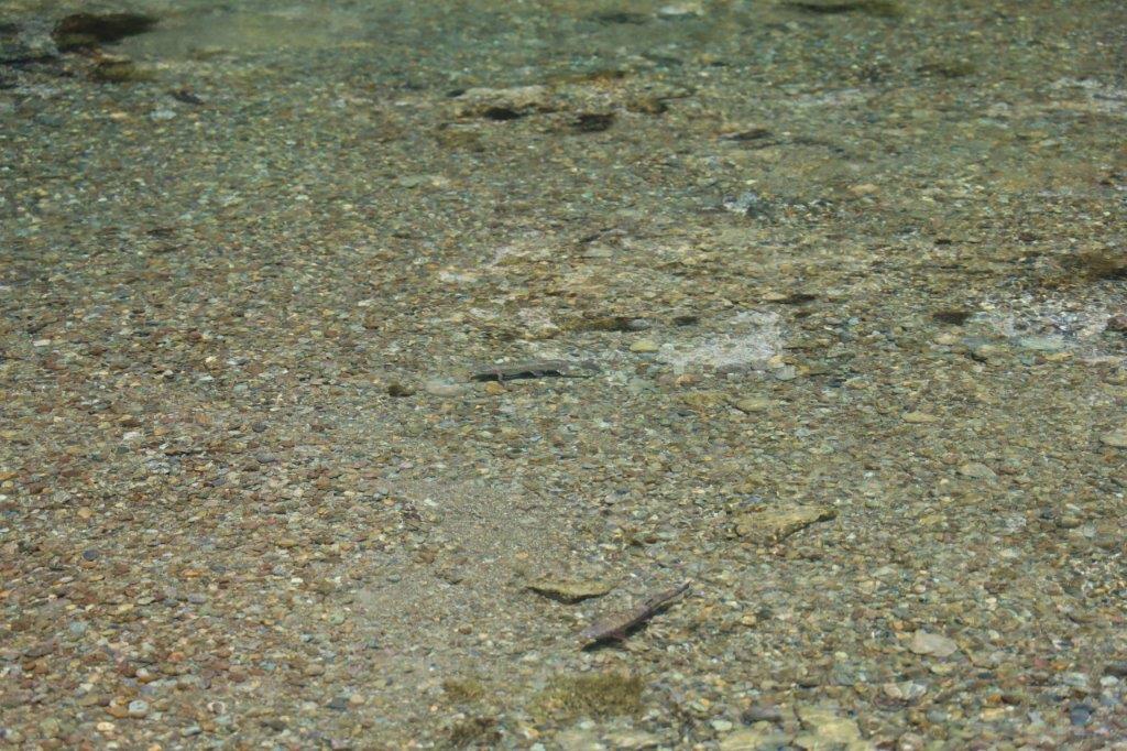
In the shallow river water, fishermen were trying to catch some trout…
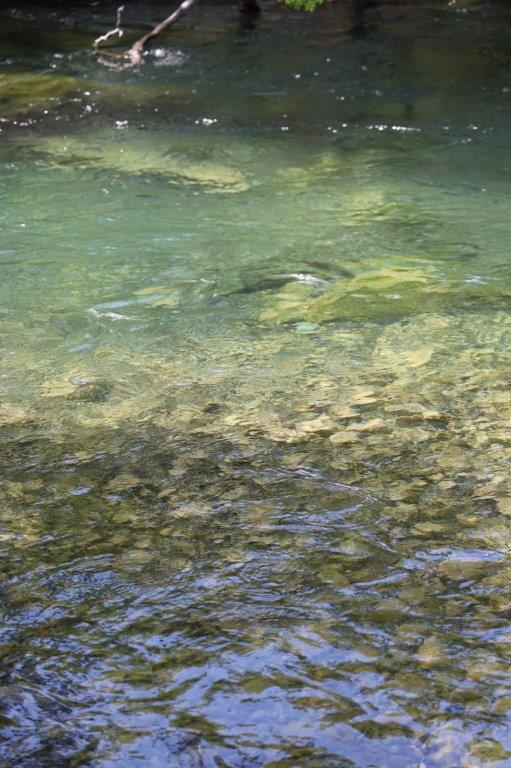
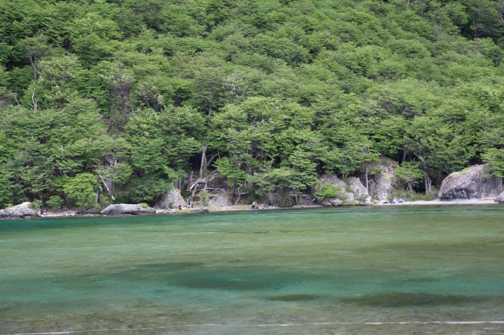
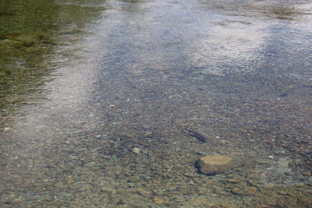
The water was the clearest water possible…
On the other shore of the river were some really large round boulders…
Because of the clarity of the water, it was very well possible to see the trout swim…
Slowly The Wandelgek walked towards the suspension bridge…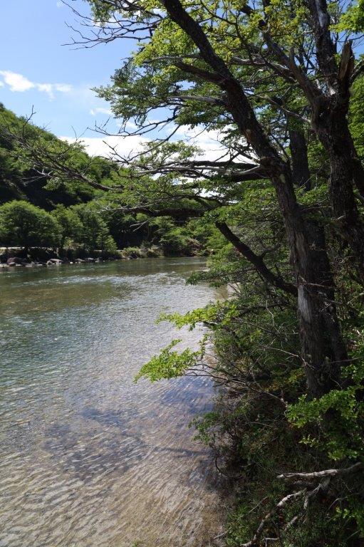
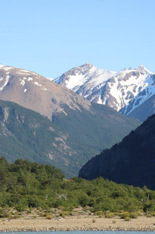
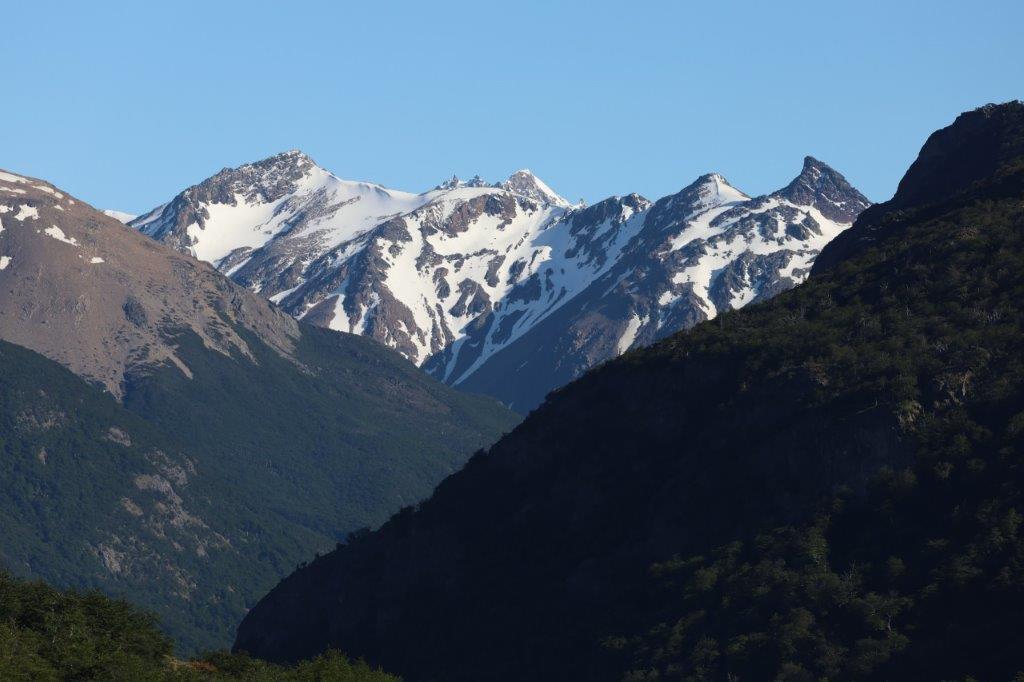
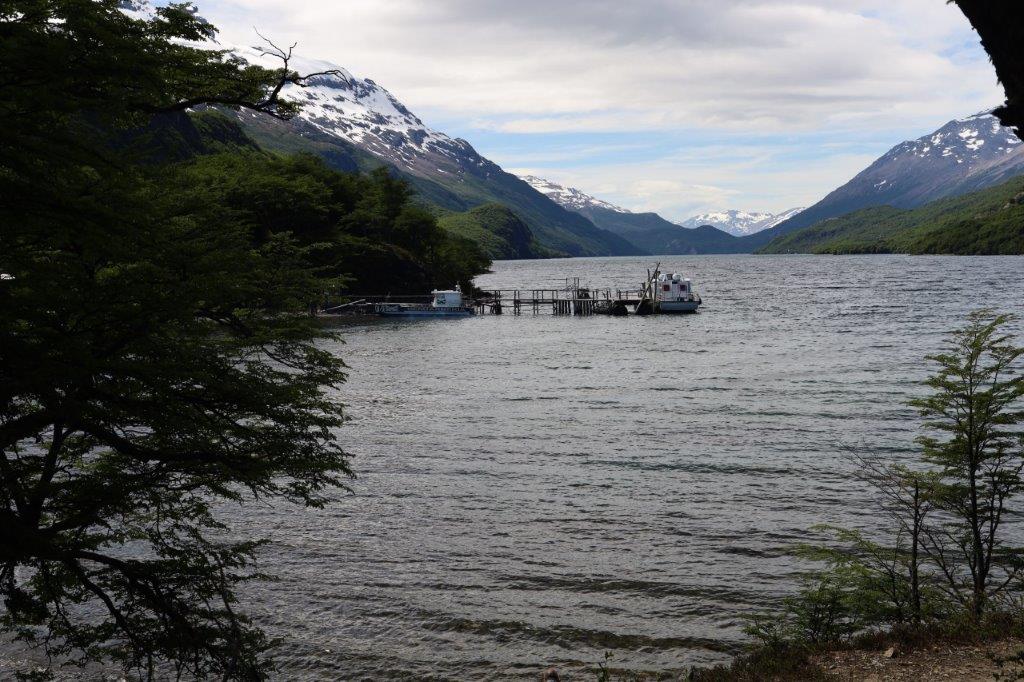
The boat jetty could be seen and far away in the north were some snow covered Andes peaks…
Now The Wandelgek was almost at the suspension bridge…
… which was the start of the:
Sendero Punta Norte
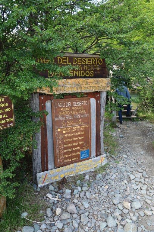
This hike is about 12 km and a 5 hr walk, but The Wandelgek was not planning on doing that.
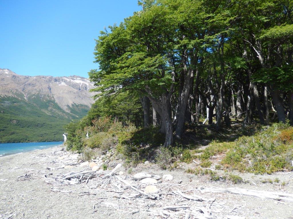
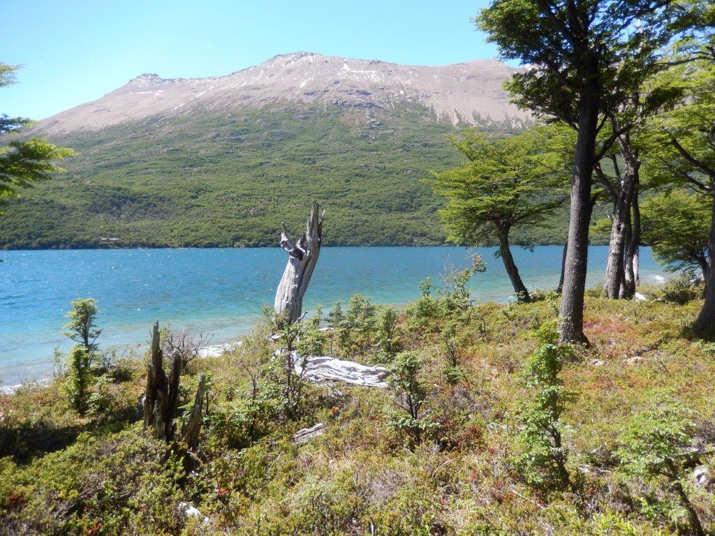
Just before the suspension bridge was a sign indicating the start of the walking trail…
After having crossed the bridge, The Wandelgek followed the forest trail which followed the shore line…
There were again lots of branches or complete trees that had fallen down partly on the trail too…
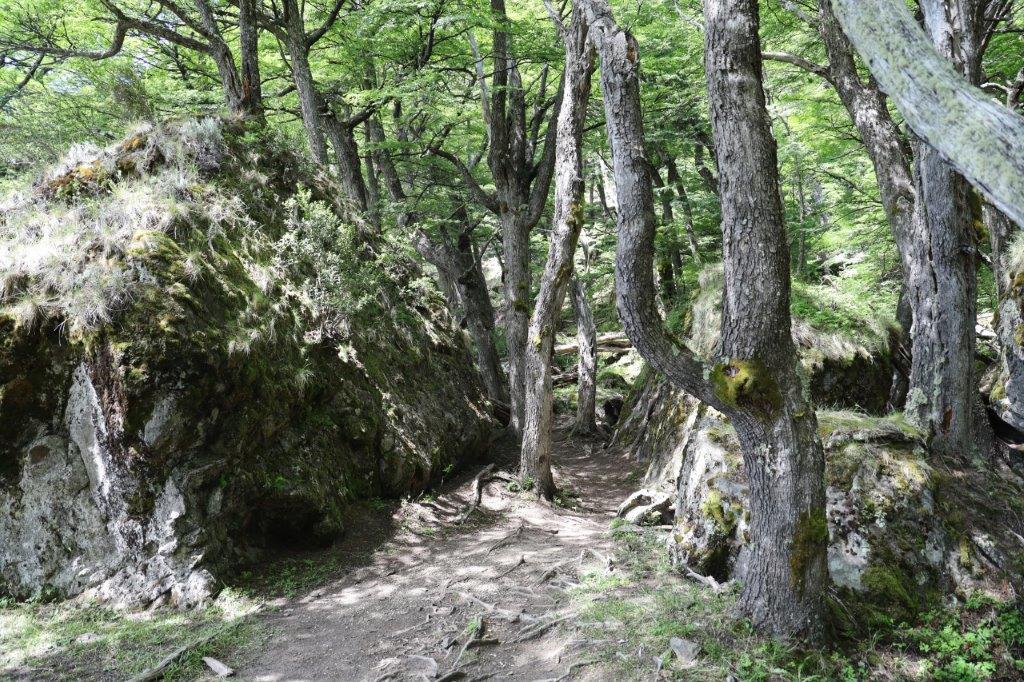
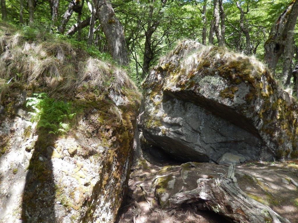
… and there were boulders strewn around the trail …
… some overgrown with moss, others almost bald…
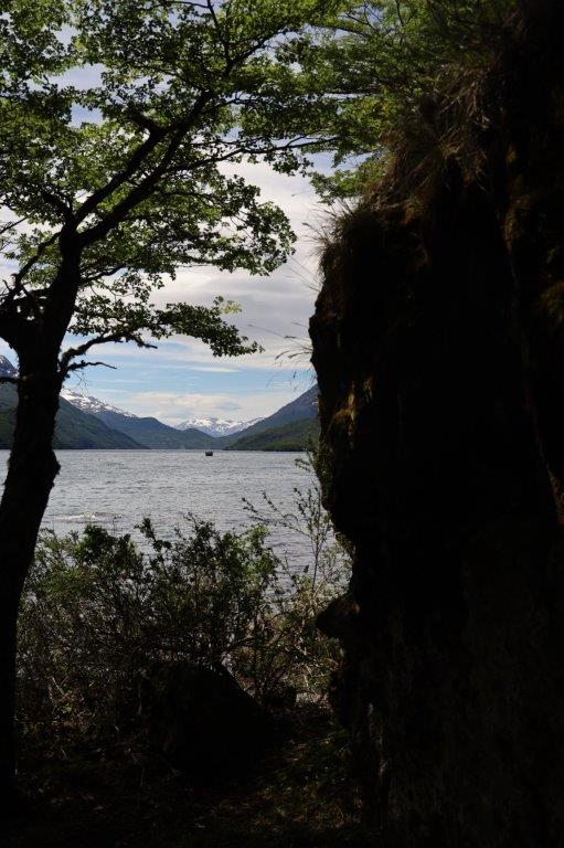
There were great lake views too.
This is primeval forest. The forest floor lives and the trees are not just individual trees, but they form a larger organism, communicating with eachother, warning eachother.
It was a trail where advancing meant slowing down…
… and slowing down is not a bad thing, at least not always. The Wandelgek slowed down and began thinking about where he was and what he was doing and although he had planned to walk a lot that day, he looked around and rethought his plans and then…
… The Wandelgek sat down at the lake on top of a boulder to have a lunchbreak …
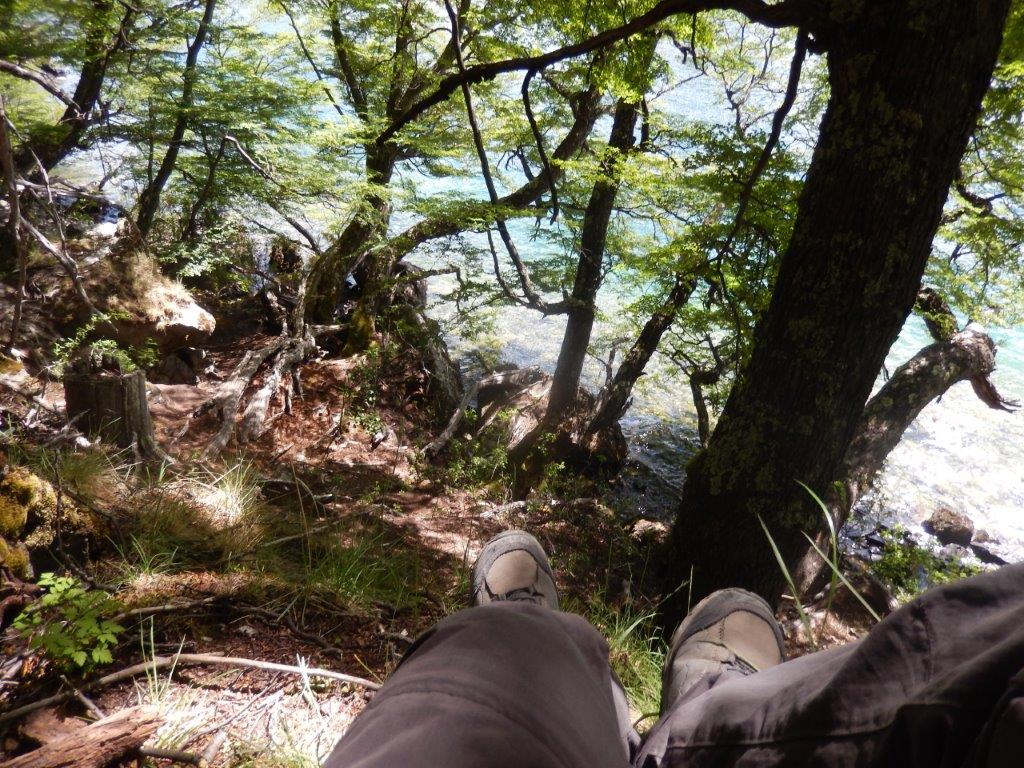 It this kind of forest that is threatened by fire because of the longer dry and hot periods time. A small spark like e.g. from a sigaret or a magnified sunbeam, e.g. through a carelessly thrown away bottle of glass is enough to start a huge fire. So leave nothing behind not even a soda can or a candybar wrapping. You’ll never know what starts a fire.
Sometimes it’s better to stay somewhere for a while to absorb its beauty…
Then The Wandelgek returned to the jetty and boarded…
Then the boat left south and from the south end of the lake The Wandelgek drove to El Chaltén. My next blogpost deals with my stay in El Chaltén which was again above expectation. Love that village and its freestyle vibe…

