17. Argentina: Roadtrip on the Circuito Chico 2: Bosque de Arrayanes (Nahuel Huapi National Park)
Llao Llao peninsula
Next, The Wandelgek drove further onto the Llao Llao peninsula than he had done before.
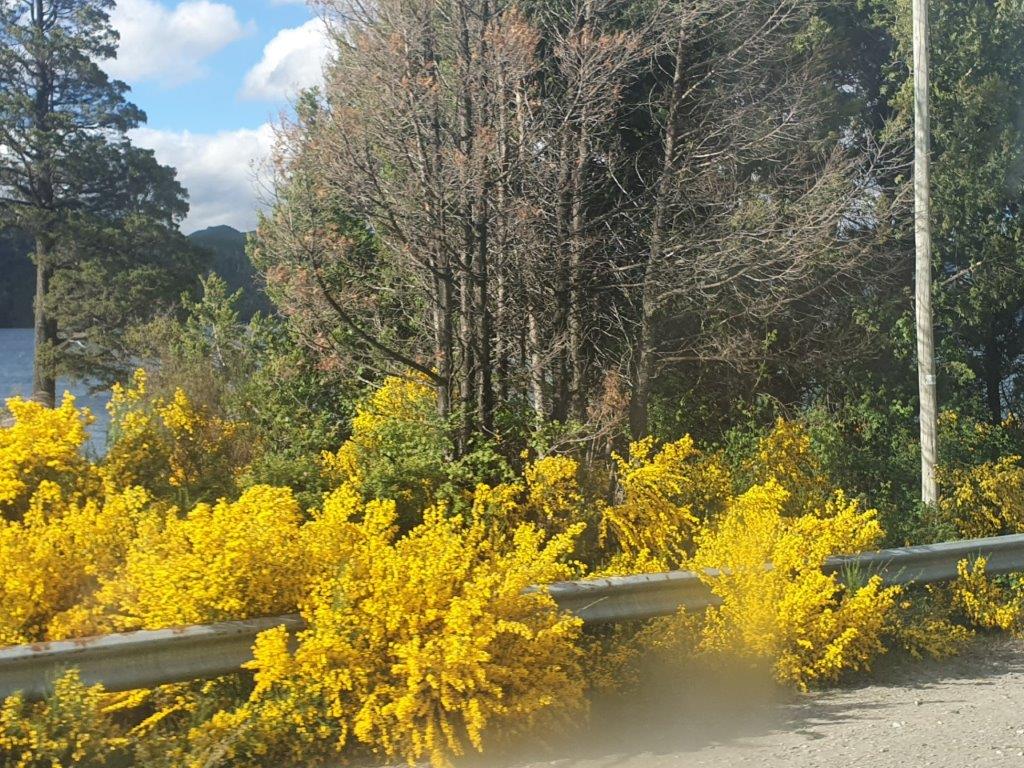
The Llao Llao peninsula is a lacustrine peninsula located to the west of the province of Río Negro, in Argentina. Within the Department of Bariloche, and included in the Nahuel Huapi national park and the Llao Llao1 municipal park. It is an extension of land of approximately 1,200 hectares that separates the Nahuel Huapi lakes, located to the north and west, and Moreno to the south. It presents an undulating relief, with some hills and small hills no more than 300 m high, standing out the Llao Llao hill.
Their lands are mainly covered by coihue, cypress and myrtle forests, typical of the Patagonian Andean forest. In addition, in the peninsula it is possible to find populations of animals such as the huillín, huemul, pudú and red fox, which are native, unlike animals such as wild boar, hare and different types of deer, such as the red deer, which were introduced. by Europeans throughout the 20th century.
Before the arrival of the Europeans, the peninsula, together with the surrounding areas, was inhabited by the Mapuches. At present the land is populated by the people who live in the small village Llao Llao and in some ranches and private properties. It is located in the vicinity of Bariloche, and is one of the most important and visited tourist destinations in the area. On its north coast is the Pañuelo port, from where numerous boat trips depart through the Nahuel Huapi, in the center there is the San Eduardo chapel, a regional architectural jewel. It also takes place within part of the Circuito Chico tourist route,2 and the important Llao Llao hotel, well known internationally and much visited by tourists, is also located within the peninsula.
 At the tip of the peninsula was the:
Bosque de Arrayanes
But 1st: What are Arrayanes? Arrayanes are Myrtle trees.
The Bosque de Arrayanes at the Llao Llao peninsula is better known as the Sendero de Los Arrayanes or in English, the Arrayanes Trail. There is a larger Bosque de Arrayanes in the north of Lake Nahuel Huapi, which is part of the Los Arrayanes National Park, which is part of the much larger Nahuel Huapi National Park, but this is not about that Bosque de Arrayanes. The part I’m talking of is easily reachable from San Carlos de Bariloche, whilst the other isn’t.
Still, there are lots of Arrayanes trees to observe in this part too.
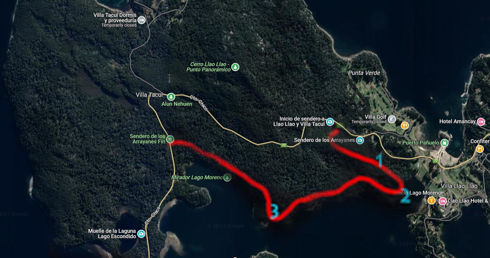
On the map beneath, the trail route is marked in red:
- Grove of myrtles;
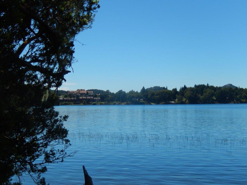
- Small beach overlooking the Hotel Llao Llao;
- Viewpoint to Lake Moreno, north face of Cerro López, and Cerro Capilla.
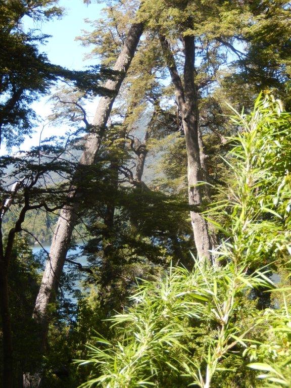
The path skirts the shores of Lake Moreno three times, from where it is possible to observe the López and Goye hills, the Isla de los Conejos and of course the aforementioned lake in almost its entire extension.
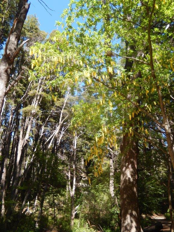
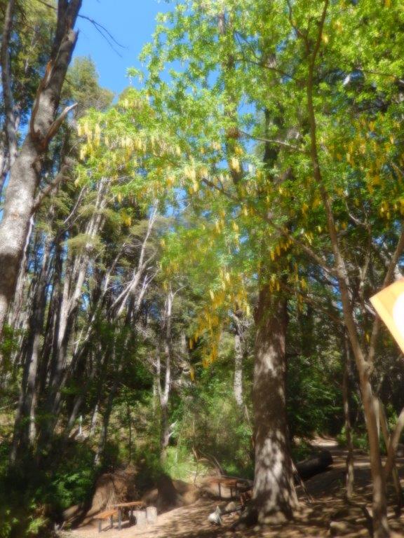
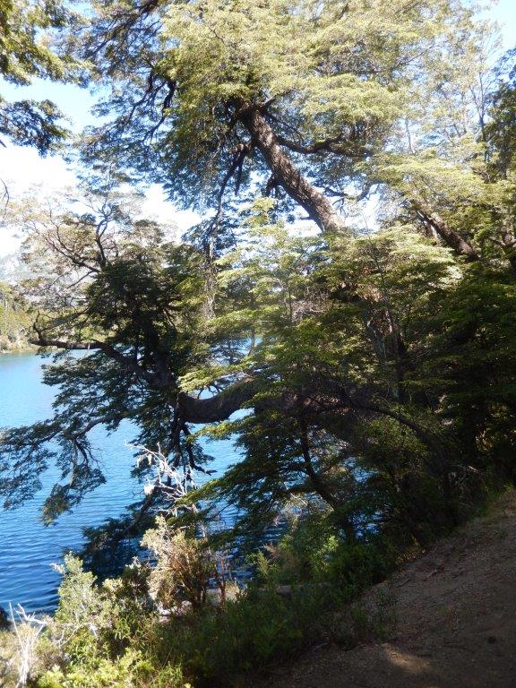
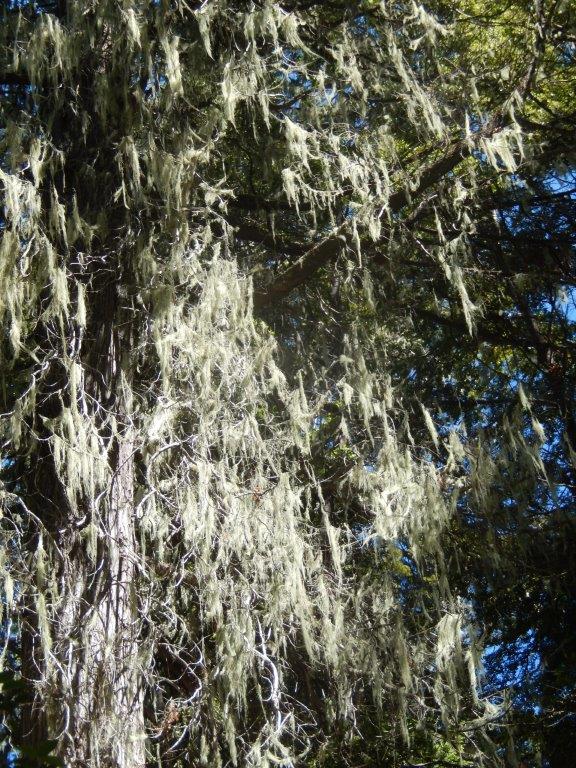
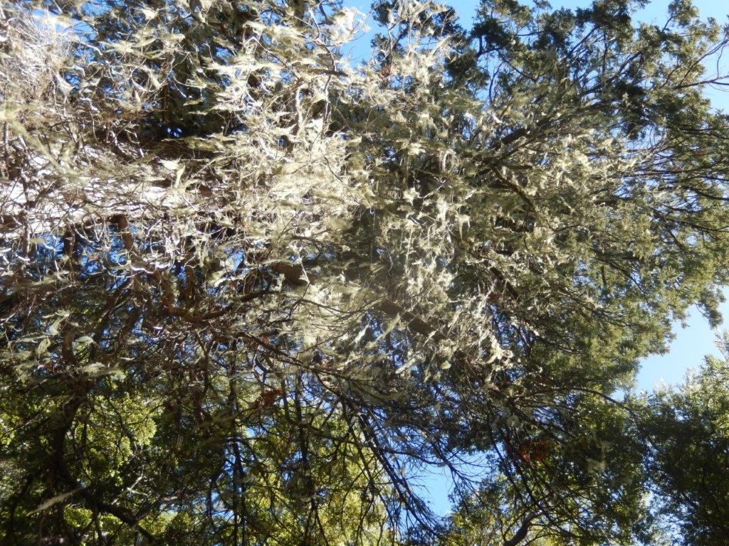
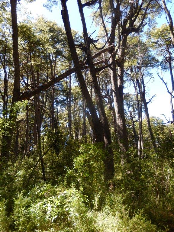
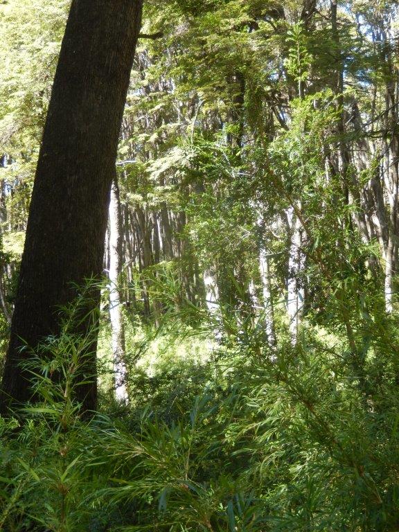
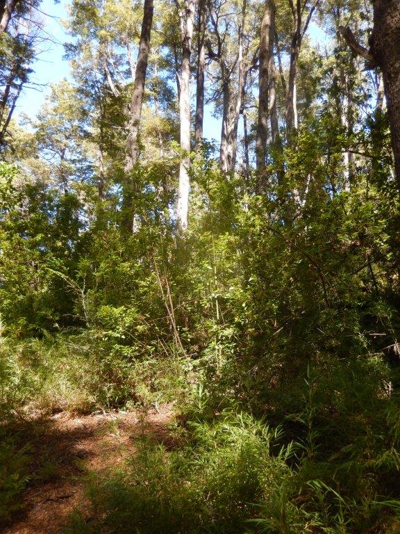
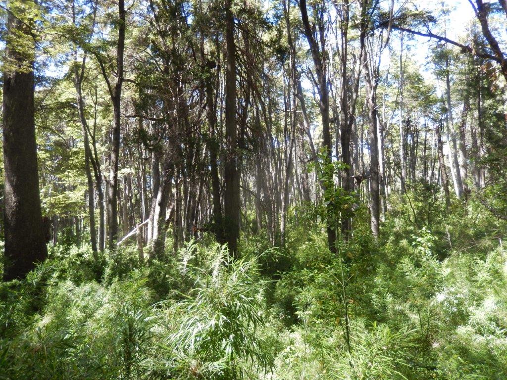
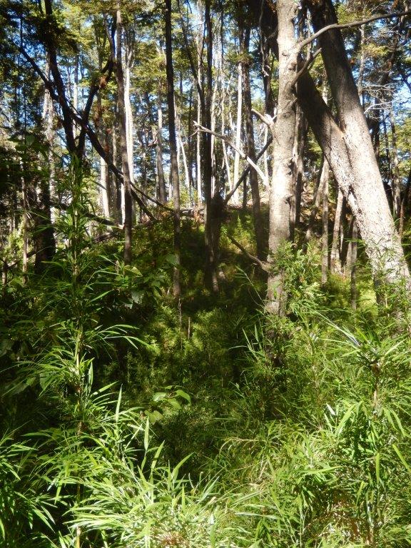
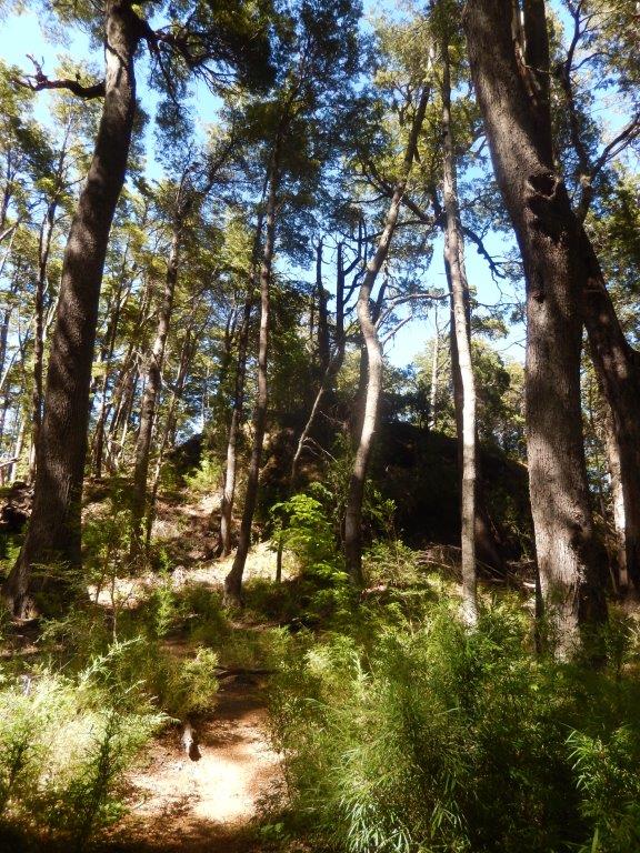
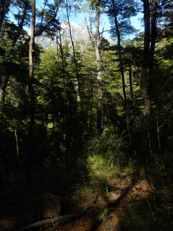
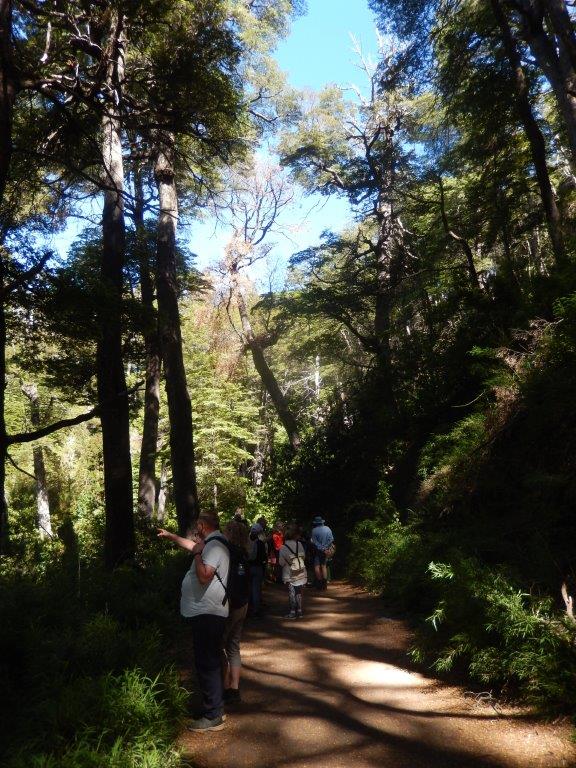
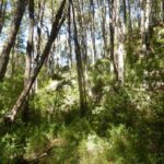
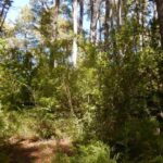
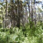
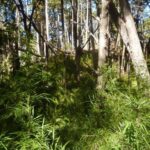
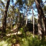
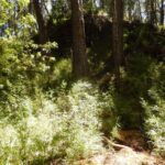
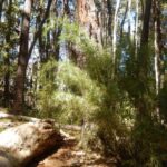
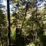
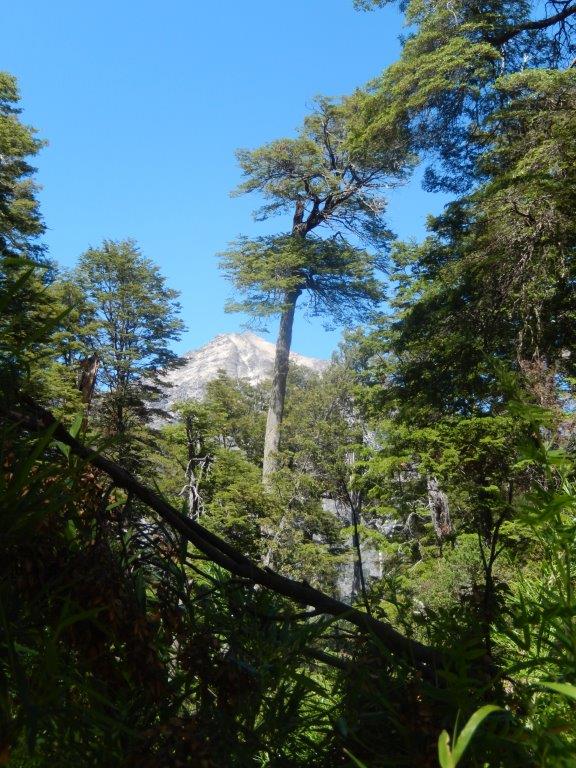
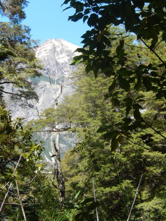
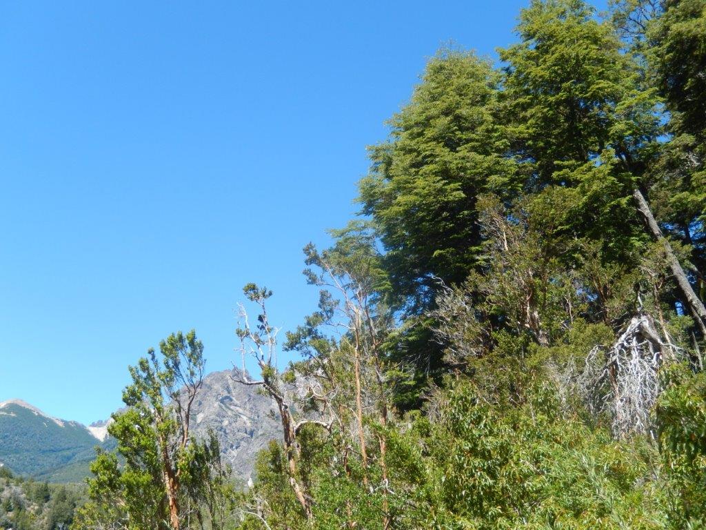
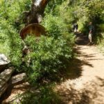
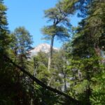
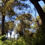
Walking the trail, The Wandelgek spotted a wide range of native flowers, trees and shrubs, such as coihue, cypress, myrtle, amancay, maqui, colihue cane, lichens and others.In the trees he also saw beard moss swaying in the wind…
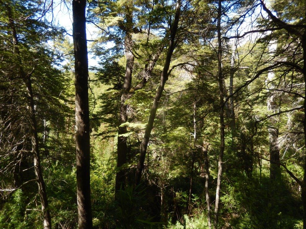
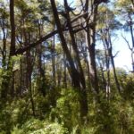
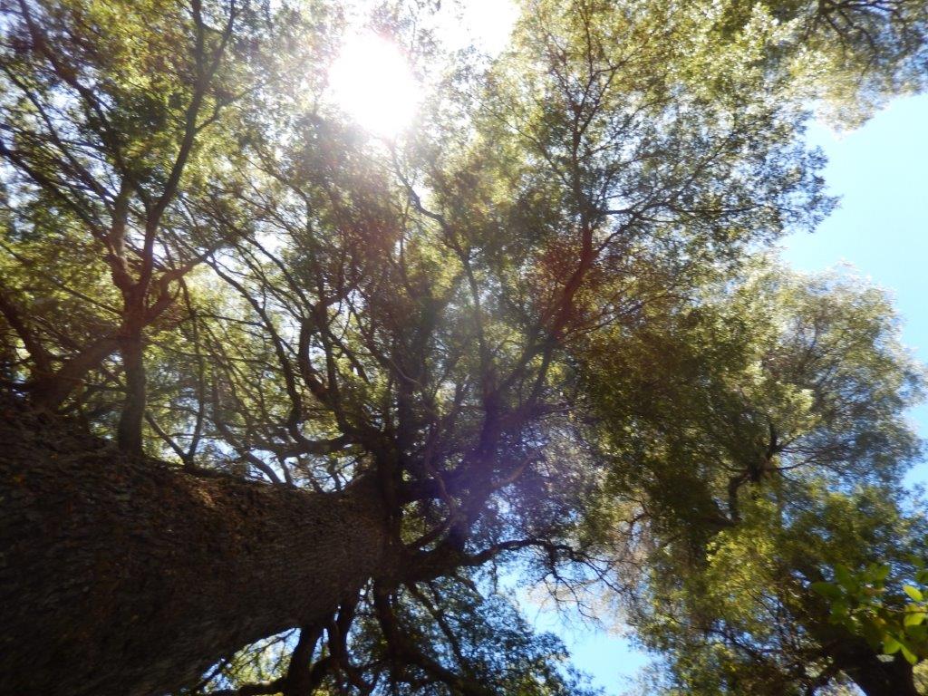
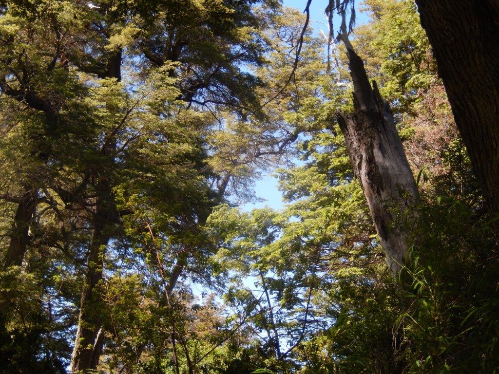
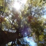
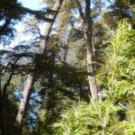
Those trees were quite high…
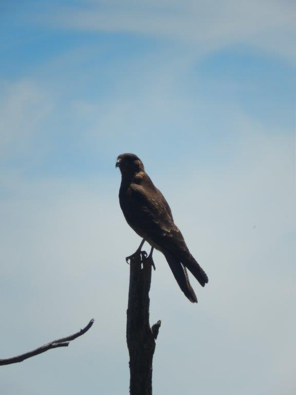
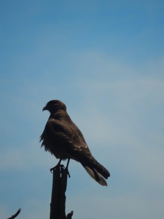
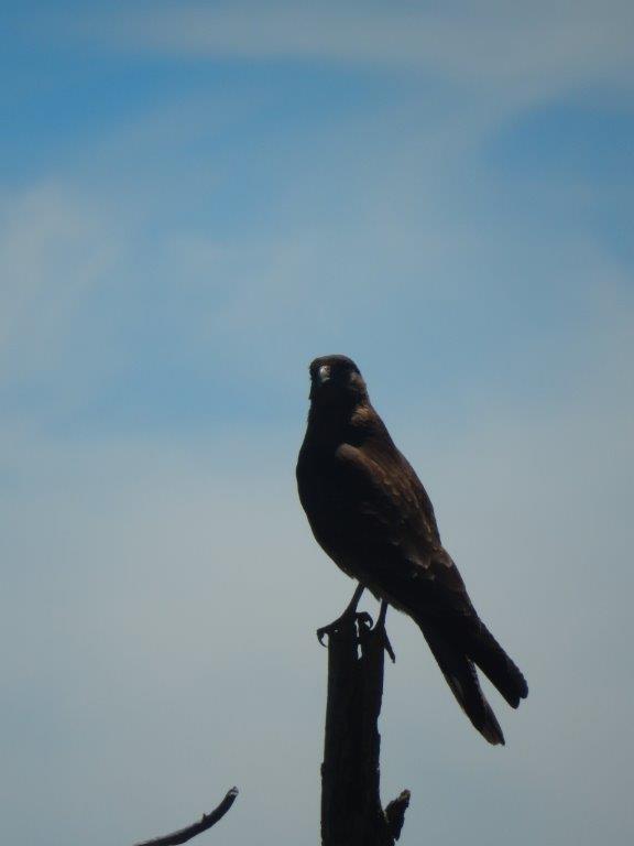
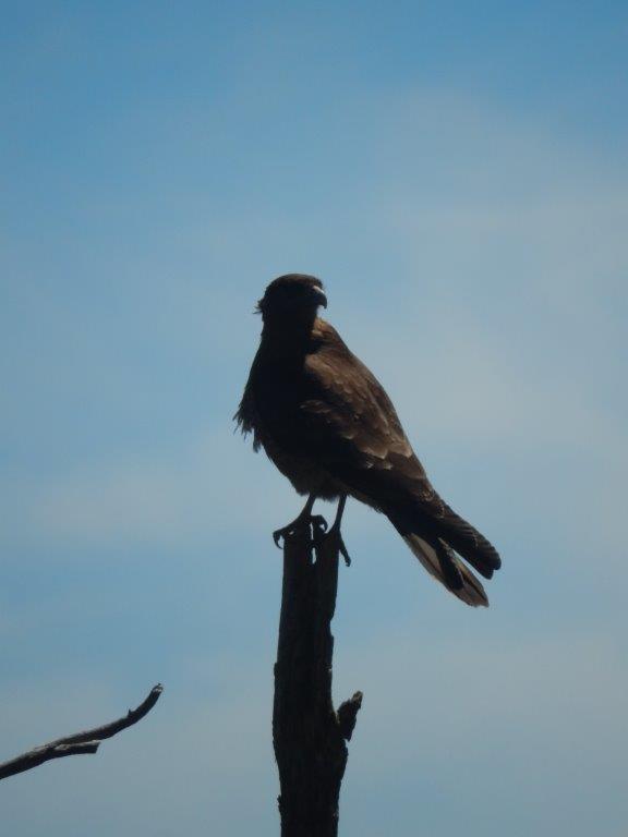
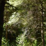
The tree tops were of course brilliant lookout spots for birds of prey…
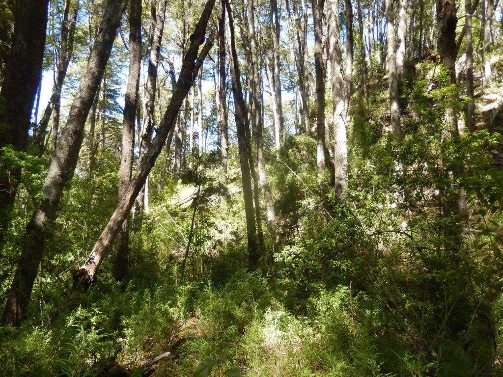
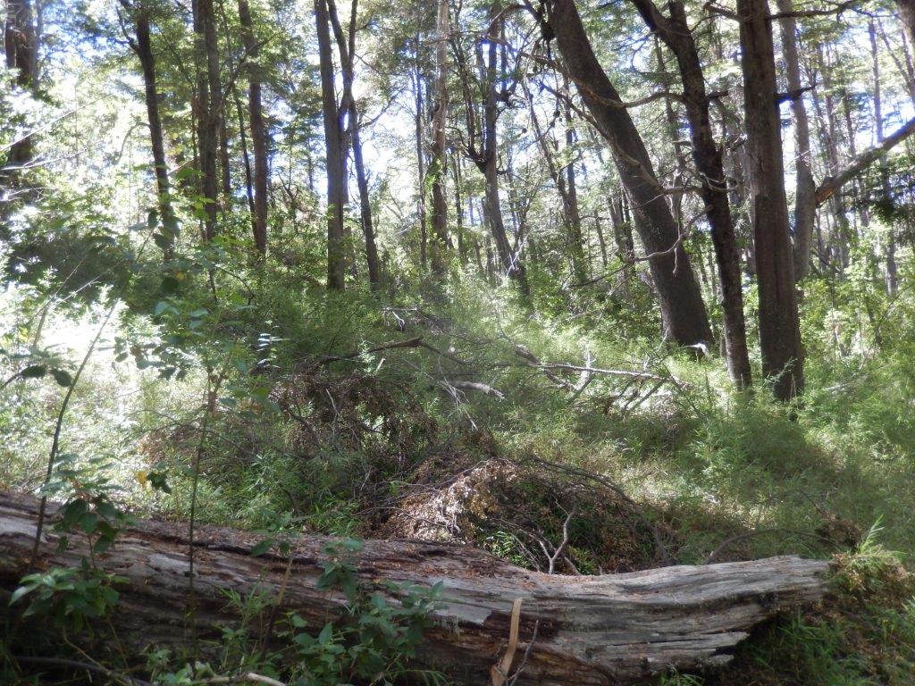
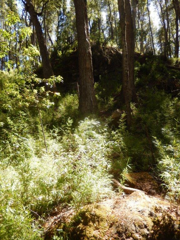
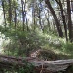
Judging from richness in terms of the humus layer, the undergrowth and mycelia on the forest floor, it was clear that this was a primeval forest…
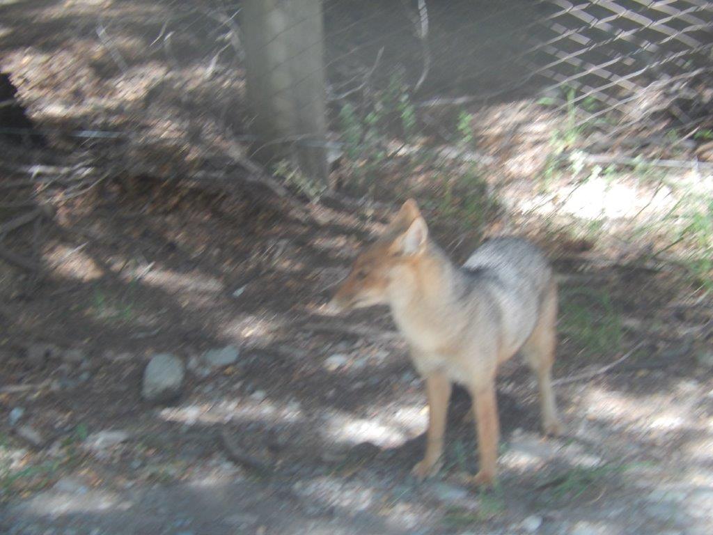
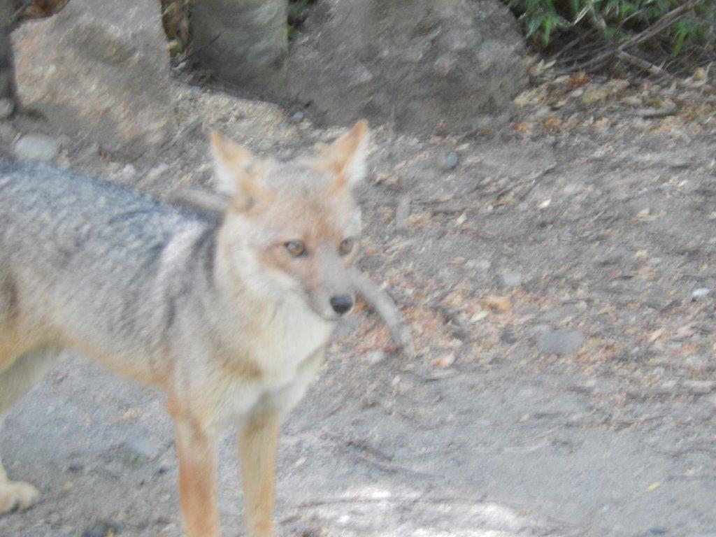
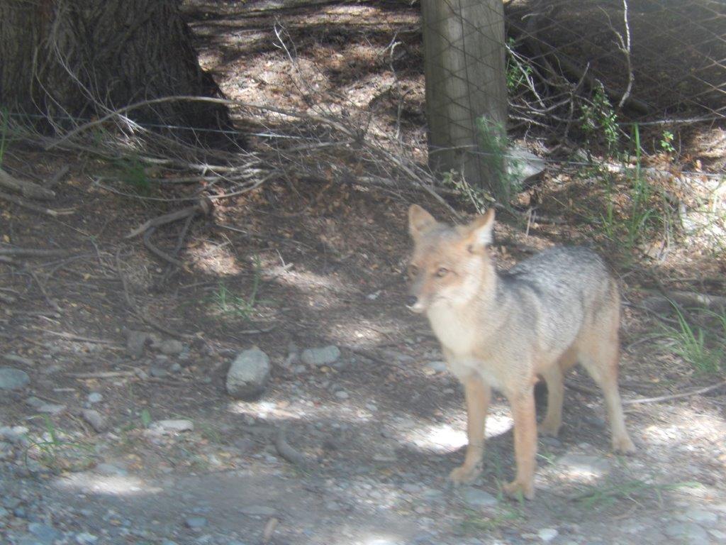
It is always a surprise when suddenly meeting a fox or in this case a Gray Fox. Most of those times were so unexpected that I was too late to grab my camera or were those occasions where I didn’t even bring my camera. But now I got very lucky 😀
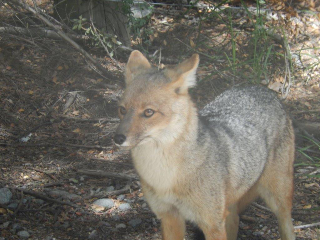 The gray fox (Urocyon cinereoargenteus), or grey fox, is an omnivorous mammal of the family Canidae, widespread throughout North America and Central America. This species and its only congener, the diminutive island fox (Urocyon littoralis) of the California Channel Islands, are the only living members of the genus Urocyon, which is considered to be genetically basal to all other living canids. Its species name cinereoargenteus means “ashen silver”.
It was once the most common fox in the eastern United States, and though still found there, human advancement and deforestation allowed the red fox to become the predominant fox-like canid. Despite this post-colonial competition, the gray fox has been able to thrive in urban and suburban environments, one of the best examples being southern Florida. The Pacific States and Great Lakes region still have the gray fox as their prevalent fox.
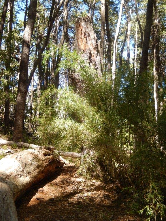
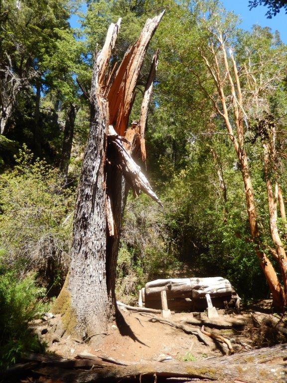
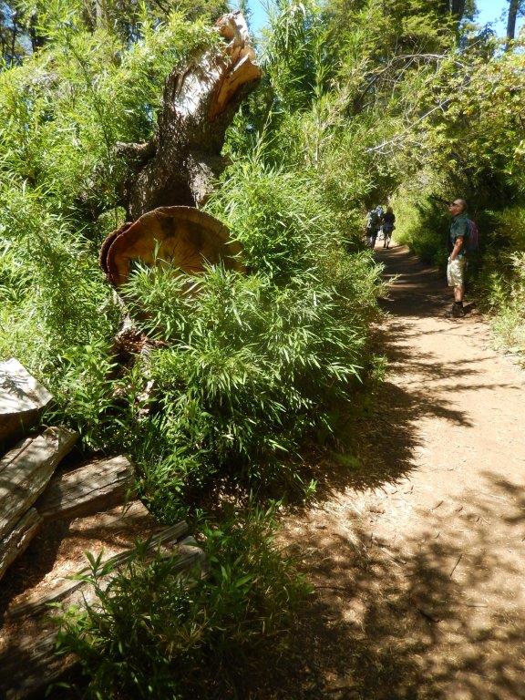
During the march you can see fallen trees, which in their vertiginous landslide left their powerful roots in sight, modifying the vegetation of this sector in their path. After about 15 minutes of walking you will reach the Bosque de Arrayanas, where you can see a small wooded formation of myrtle trees.
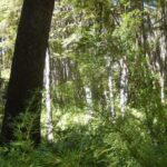
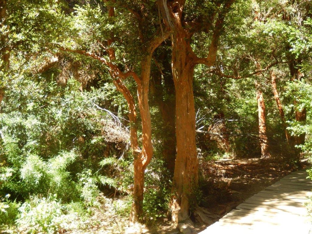
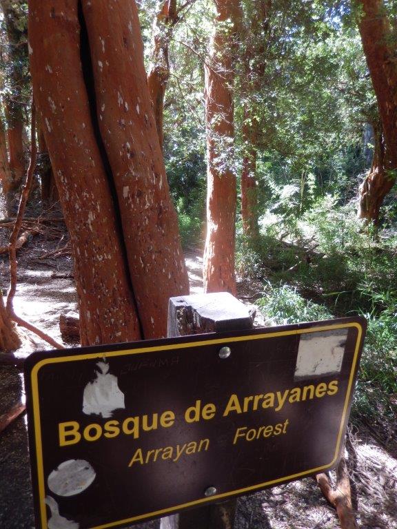 This is a really special part of forest to walk through…
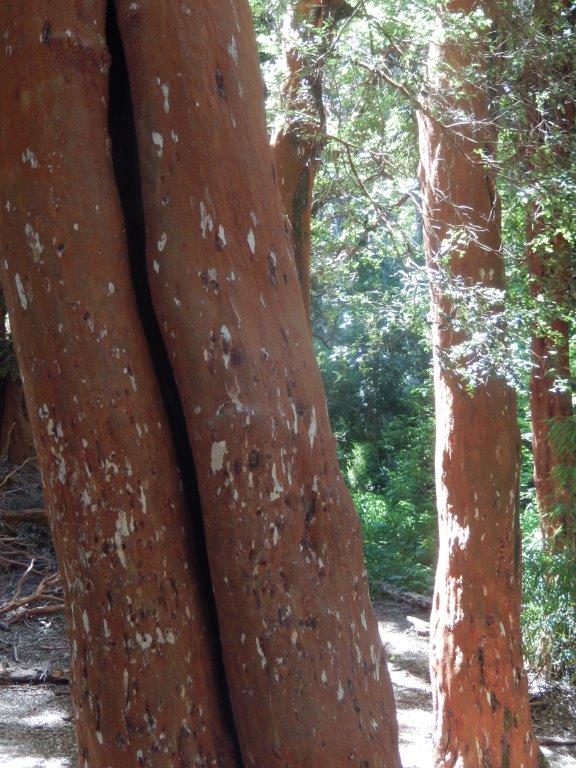
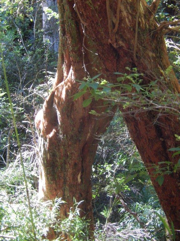
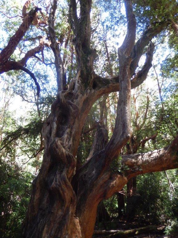
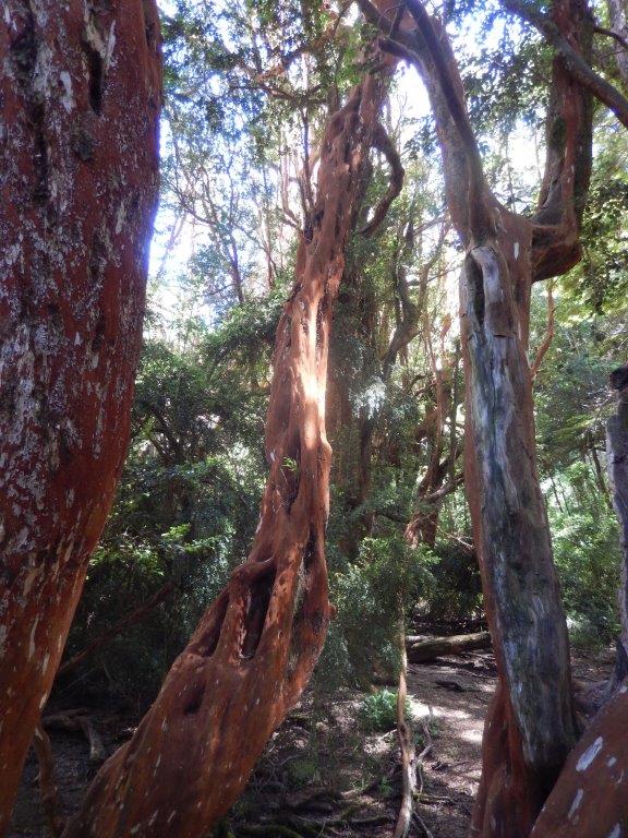
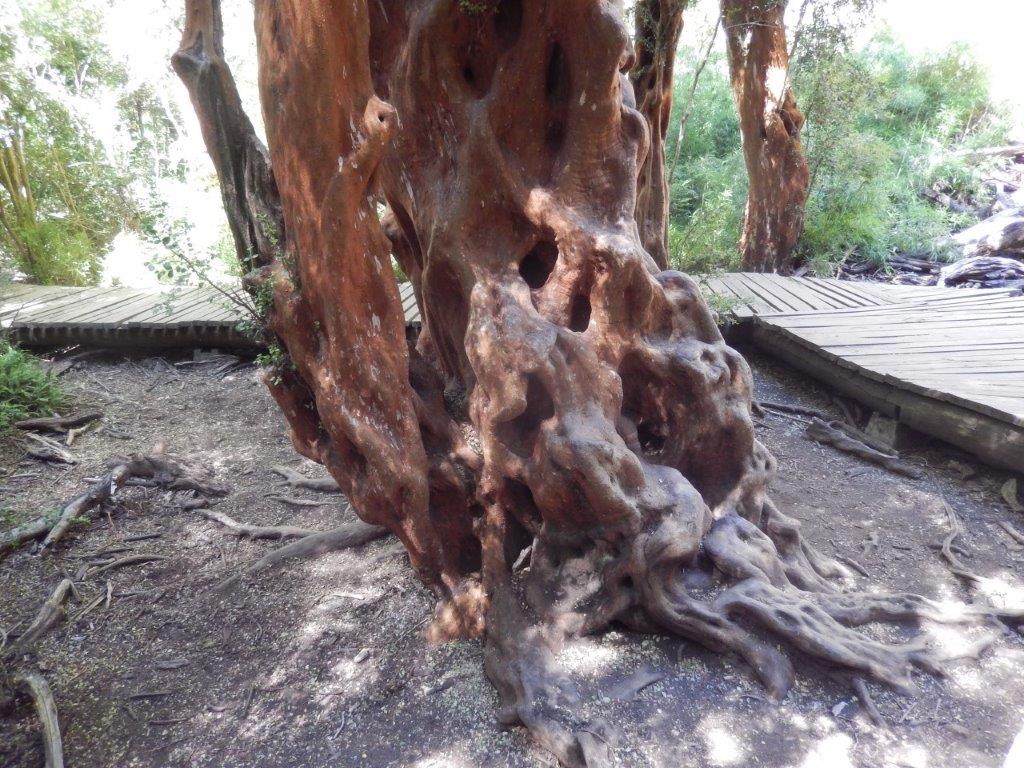
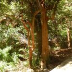
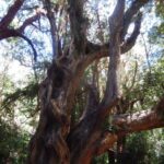
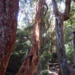
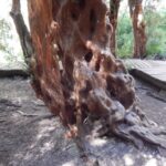
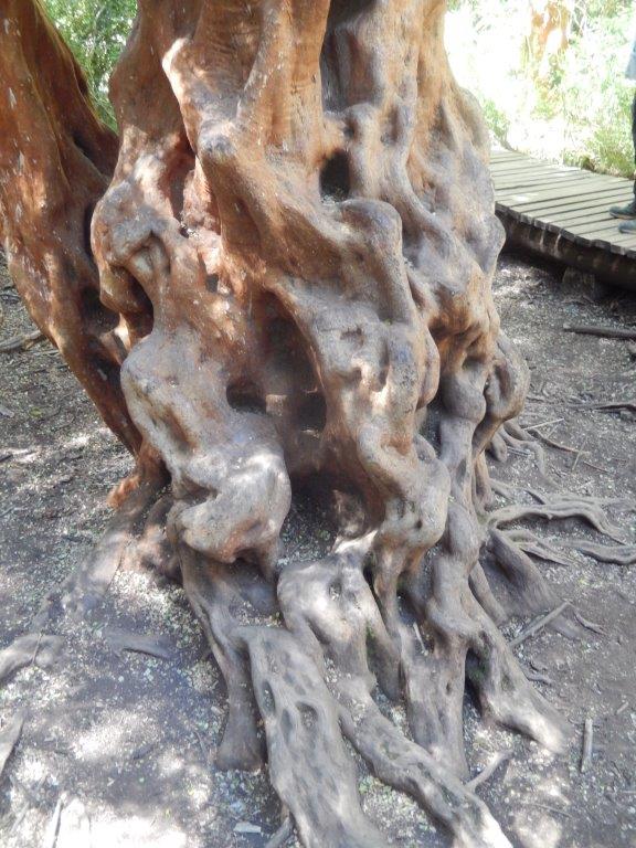
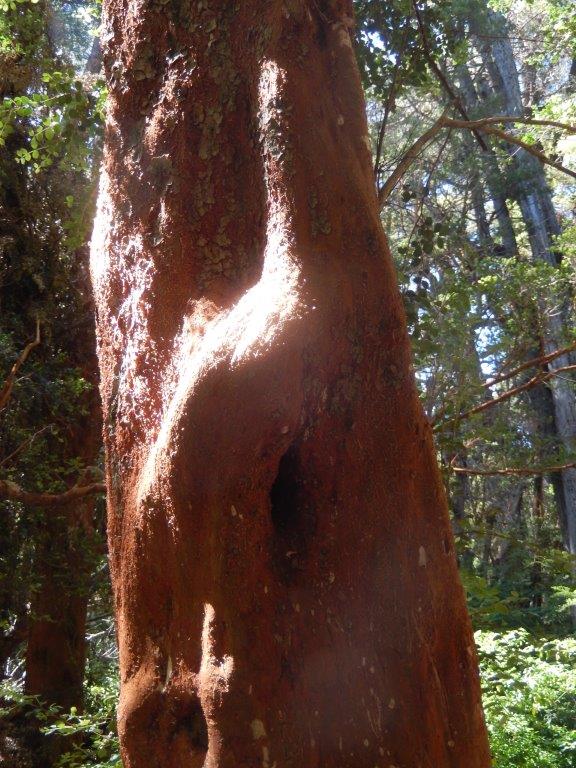
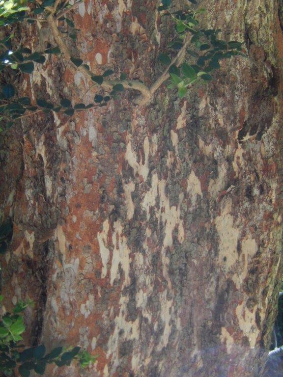
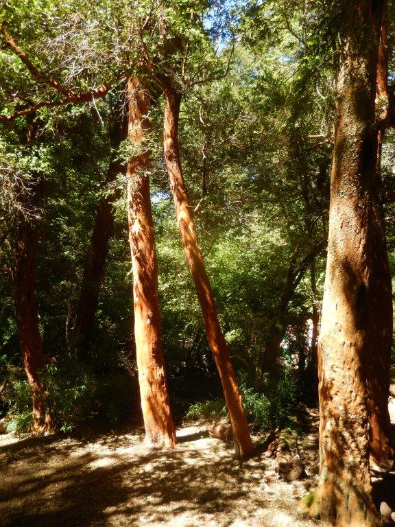
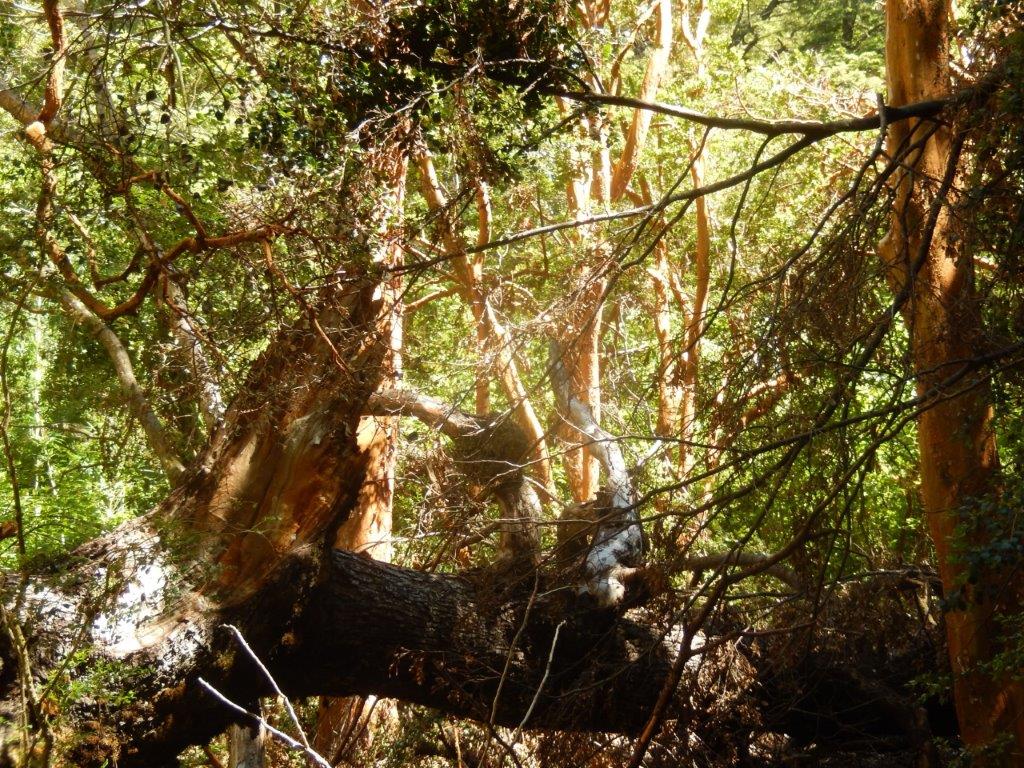
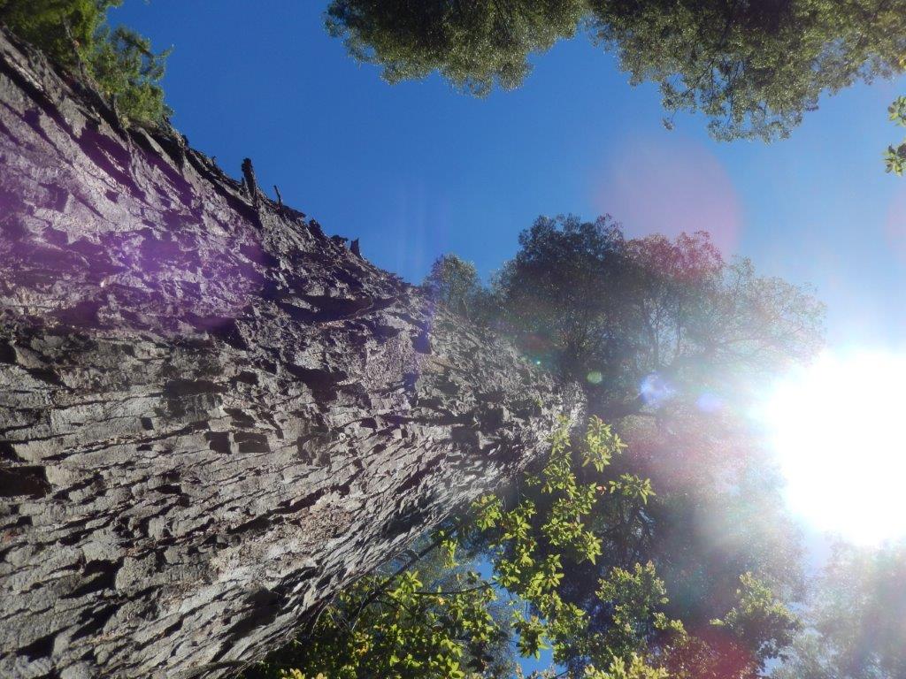
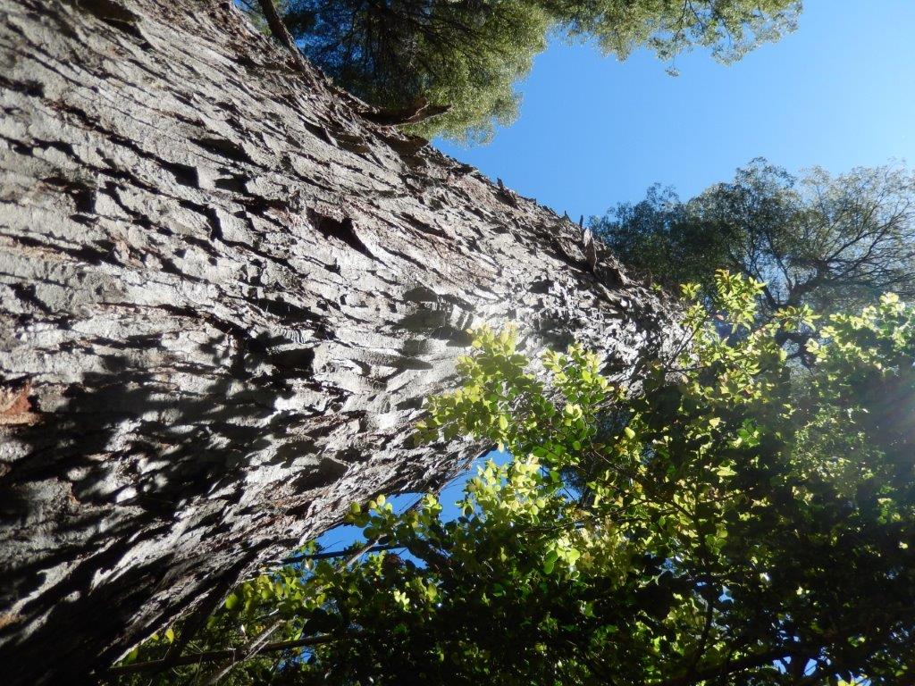
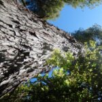
The “Arrayan” forest, a peculiar type of Myrtle tree with its characteristic reddish brown bark. The Wandelgek was really impressed by these quircky trees of which he imagined he could have proposed them for a movie if he had been a location scout.
Luma apiculata, the Chilean myrtle or temu, is a species of flowering plant in the myrtle family, native to the central Andes between Chile and Argentina, at 33 to 45° south latitude. Growing to 10–15 m (33–49 ft) tall and wide, it is a vigorous, bushy, evergreen tree with fragrant flowers.
Description
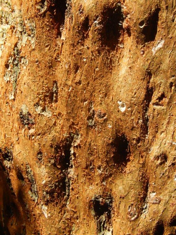
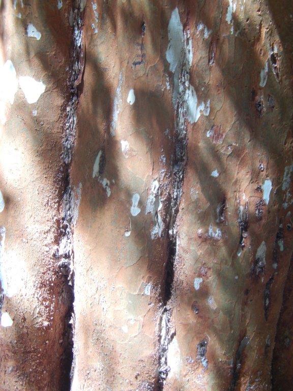
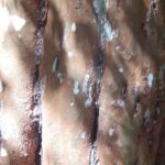
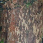
The Chilean myrtle grows slowly, forming a small tree of around 10 to 15 m, rarely 20 m. Its trunk appears twisted and contorted and has smooth bark, coloured grey to bright orange-brown, which peels as the tree grows – giving a two-tone appearance of rich cinnamon colour, contrasted with cream. It is evergreen, with small, fragrant, oval leaves 2.0 to 2.5 cm long and 1.5 broad, and profuse white flowers in early to midsummer. Its fruit is an edible black or blue berry 1.0 cm in diameter, ripe in early autumn.
After having left the area of the myrtle trees behind him, The Wandelgek slowly proceeded…
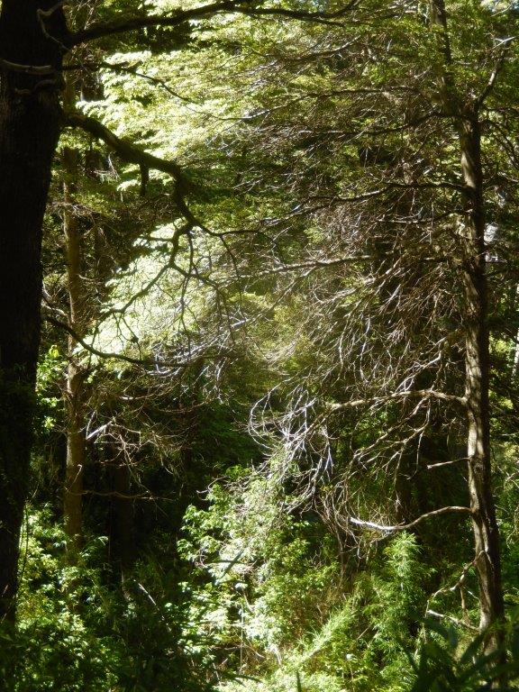
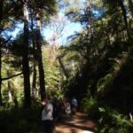
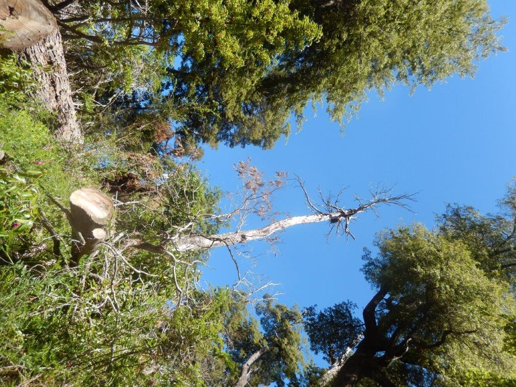
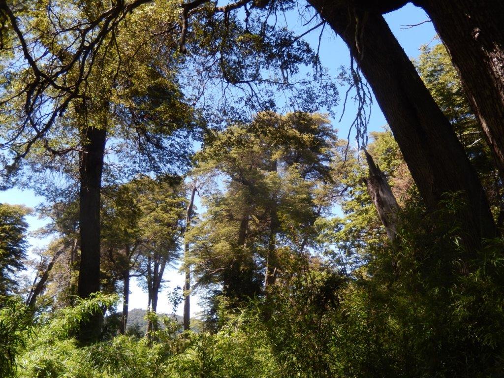
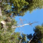
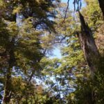
…through this beautiful forest, looking up towards the blue sky between the tree tops…
After walking for an hour, the paved route of the Circuito Chico appears again. After 100 meters, on the left, is the ranger’s house, where you can ask about alternative/subsequent the trails.
Lago Moreno was where the trail ended and it was a picture perfect lunchbreak spot…

