16. Argentina: Roadtrip on the Circuito Chico 1: Aerosilla Cerro Campanario (Nahuel Huapi National Park)
Circuito Chico
The Wandelgek decided to follow the Circuito Chico panoramic tour from Bariloche, which is a beautiful road that runs along the shores of Lake Nahuel Huapi and continues over the Llao llao peninsula, between mountains and typical Patagonian forests.
A bit before reaching the Llao Llao Peninsula, The Wandelgek stopped at the:
Aerosilla Cerro Campanario
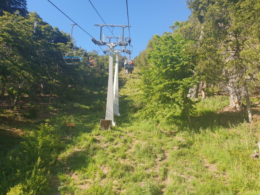
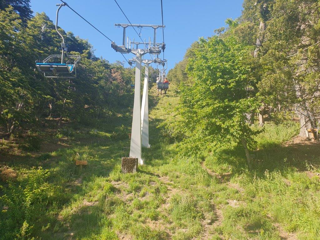
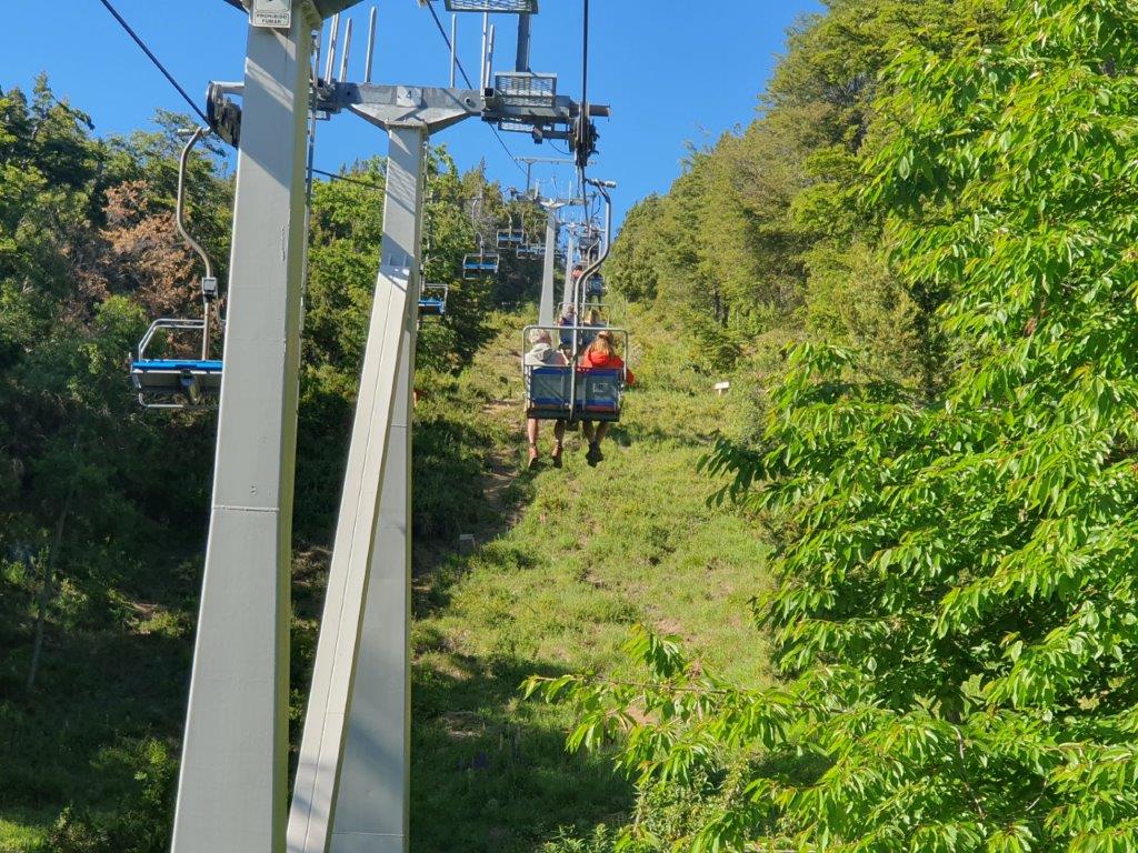
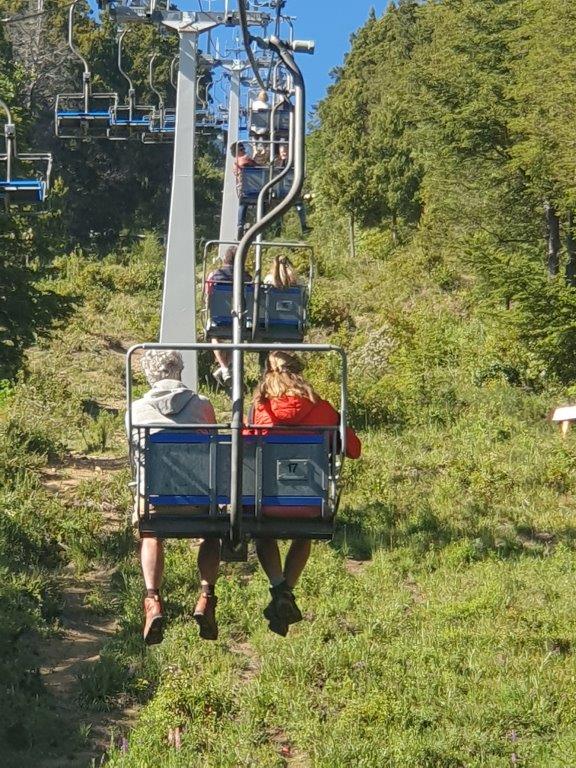
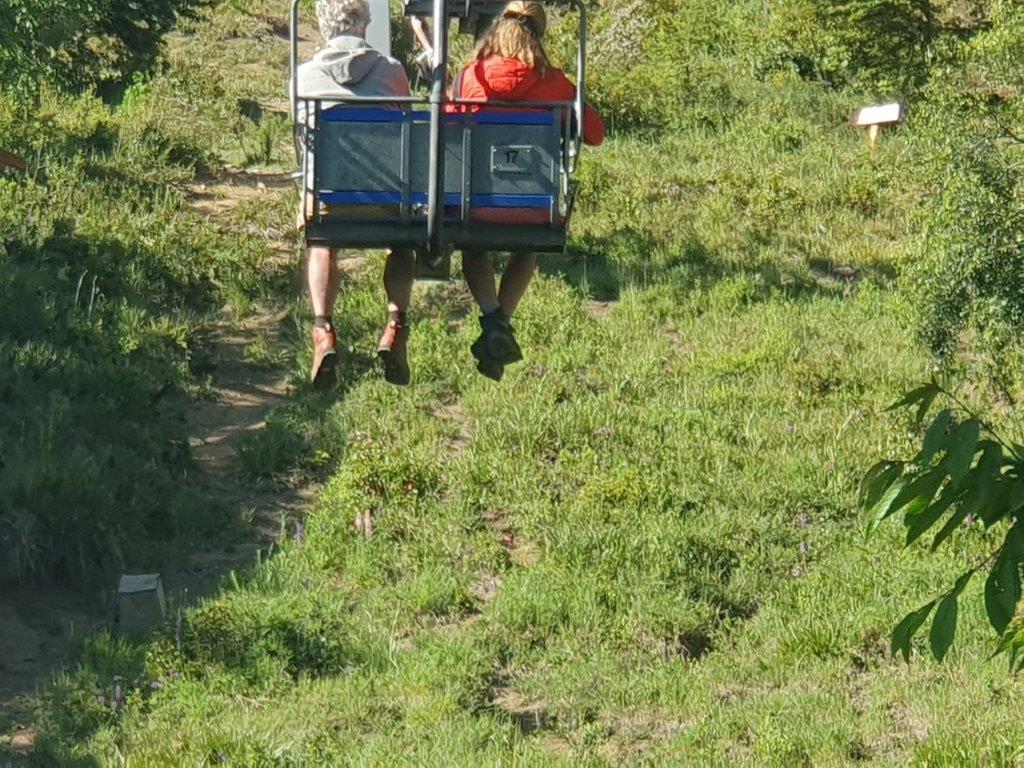
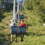
A Chair lift ascended steep up the mountain (Cerro Campanario = Bell Tower)…
…up…up…up…
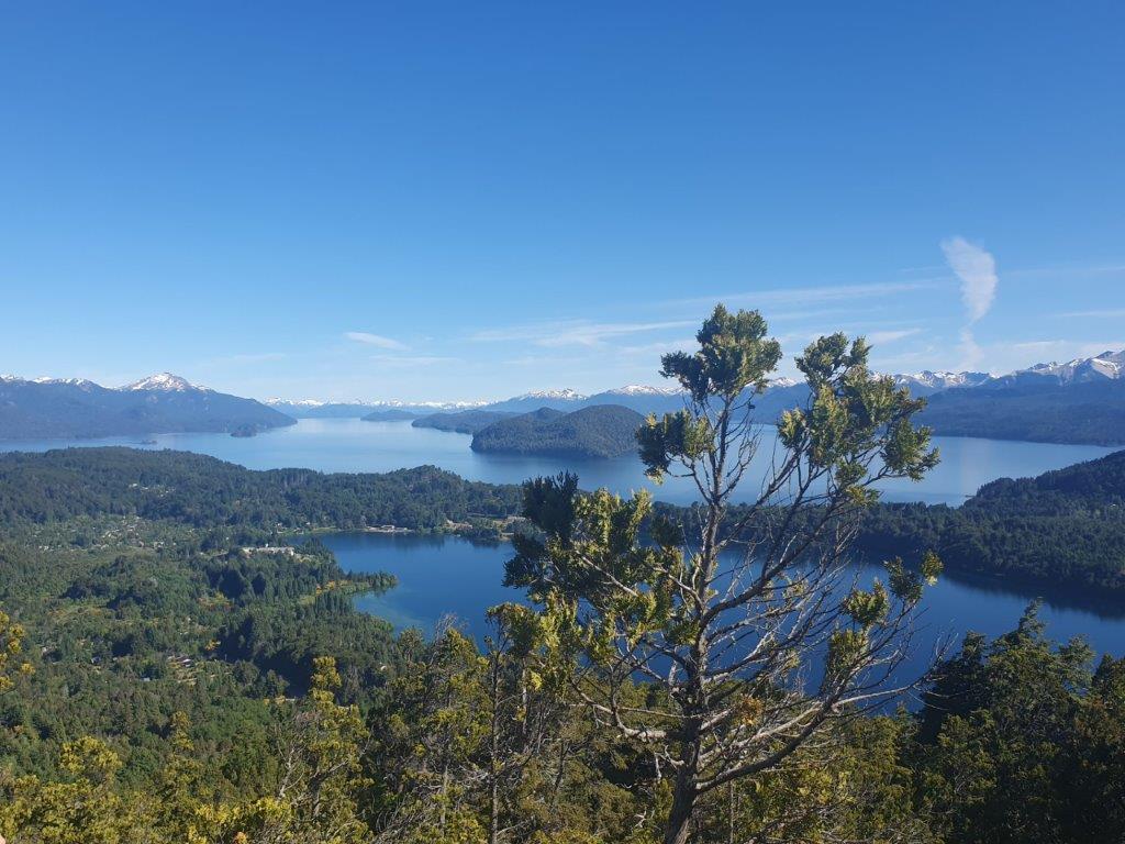
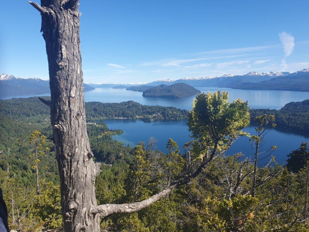
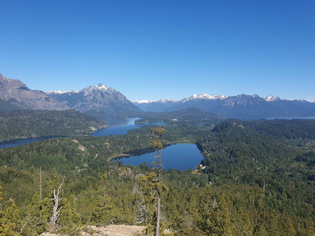
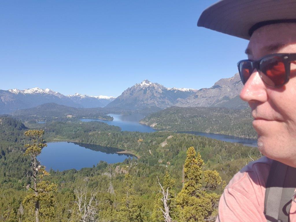
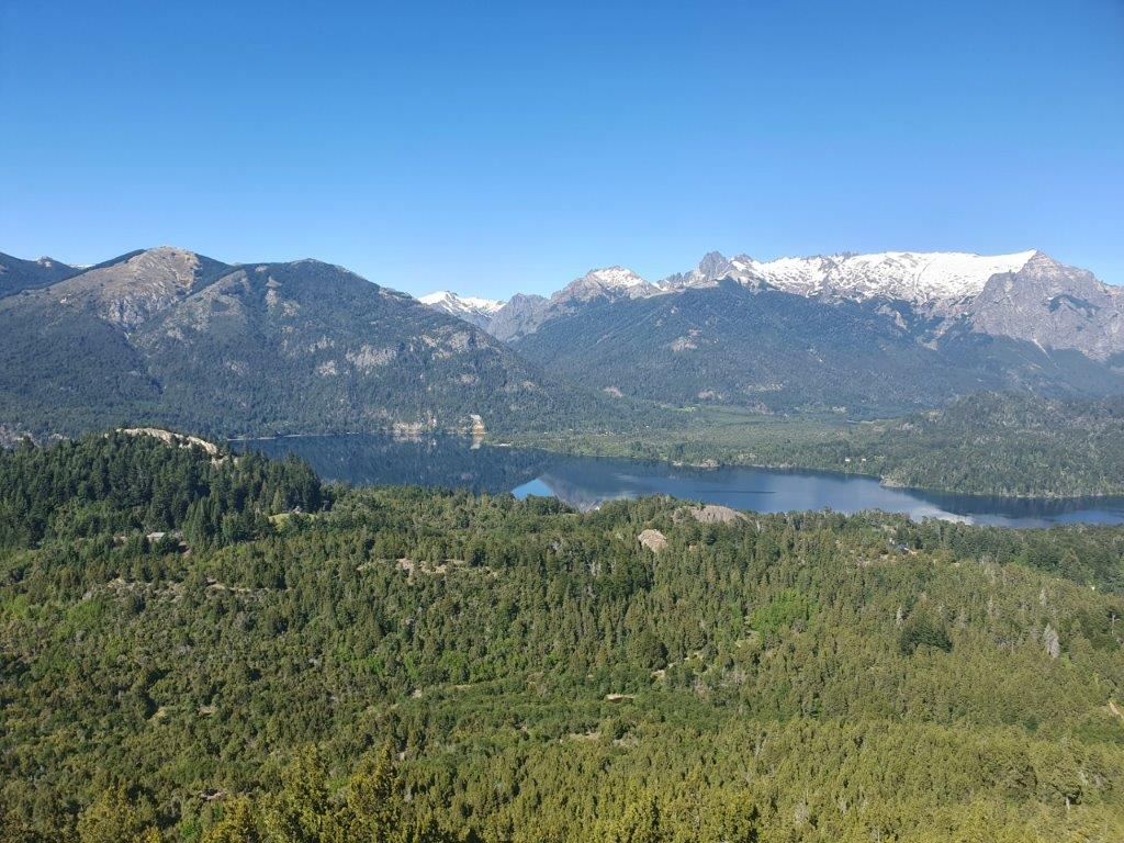
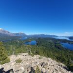
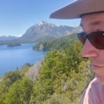
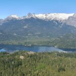
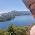
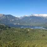
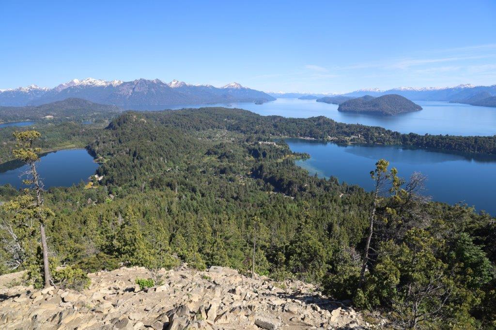
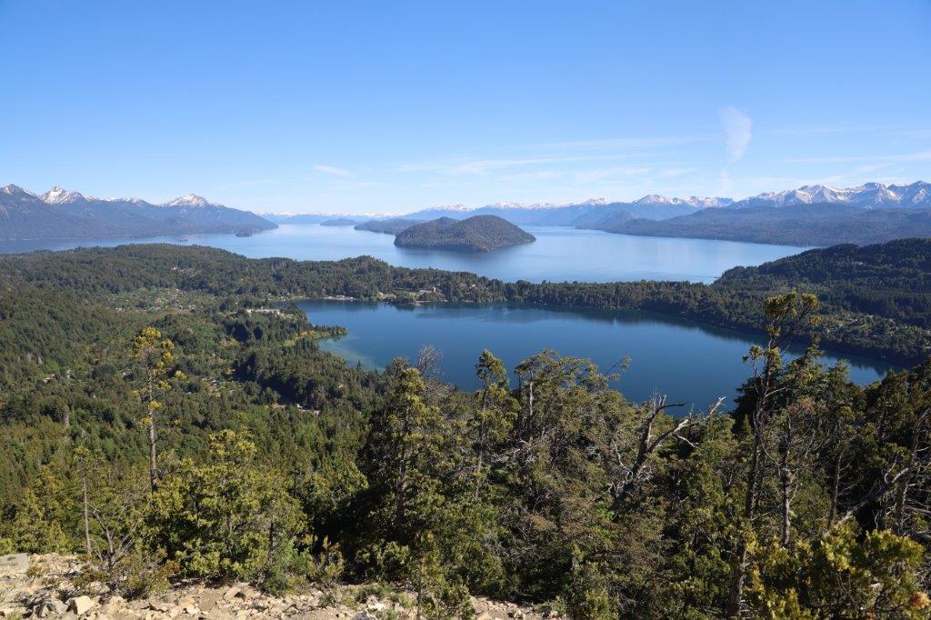
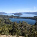
Views from Cerro Campanario over the Northern Lake District
The ascend of Cerro Campanario’s is an absolute must do! Stop thinking stuff like: oh it’s a chairlift towards a tourist trap and get over it. Just do it and get rewarded for being so bold ;-). There is a walking trail (short, but steep) for those who want to avoid the chairlift, but Do it and get up there!
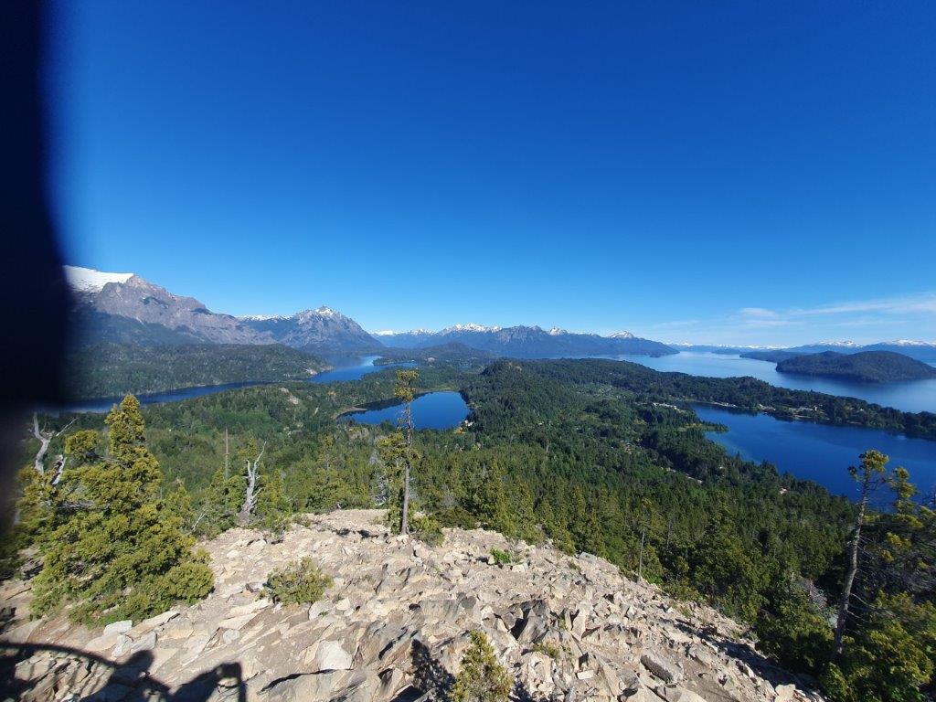
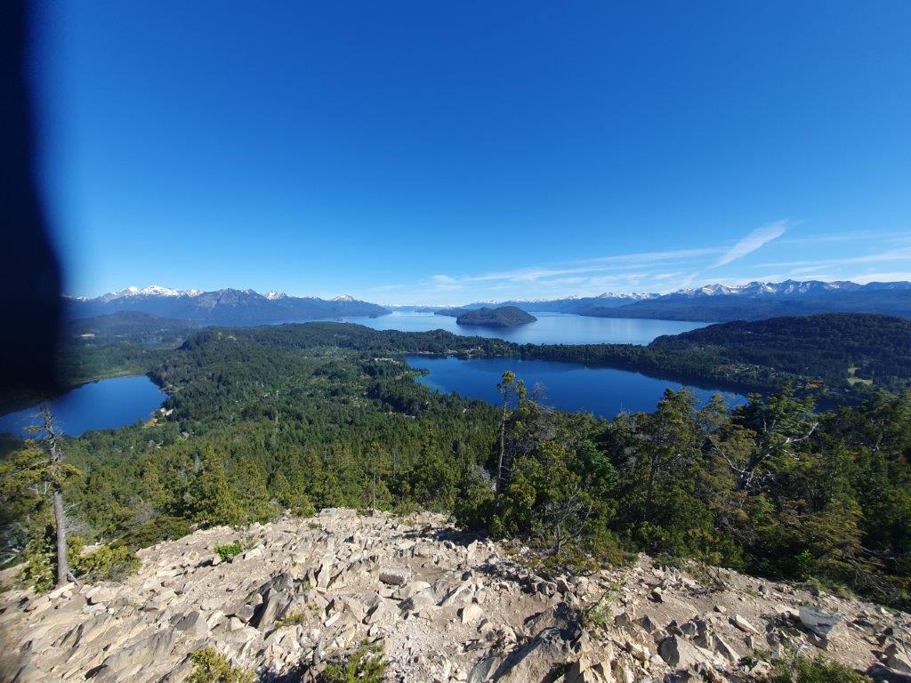
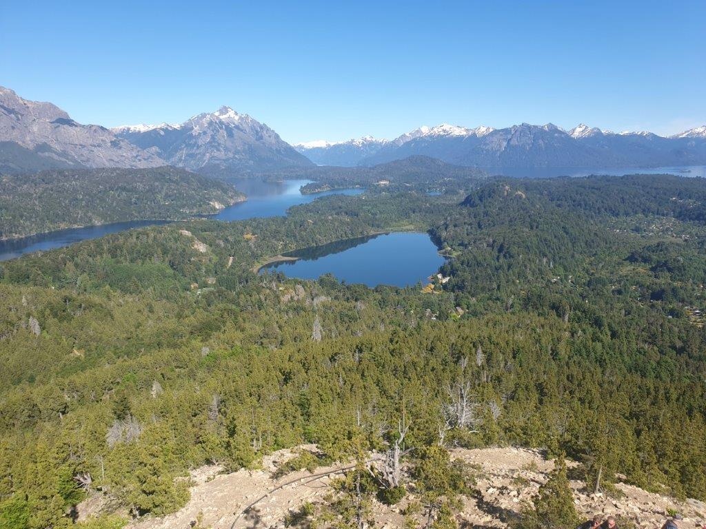
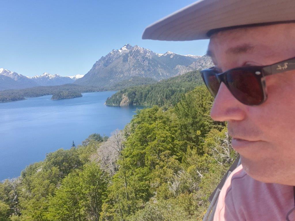
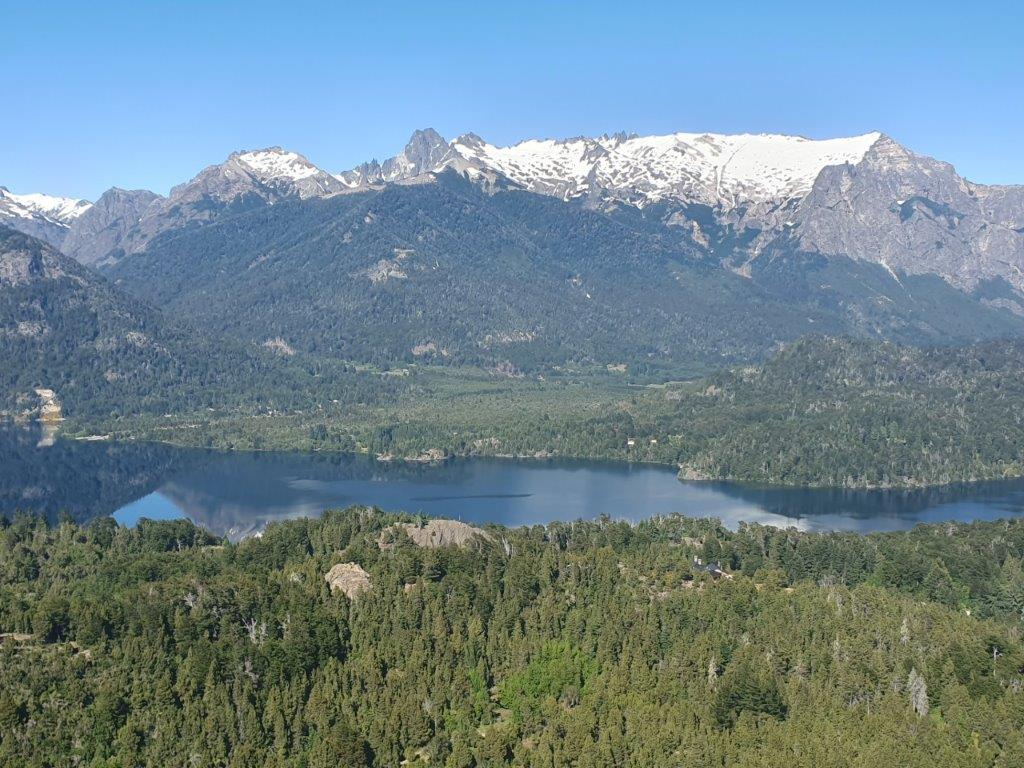
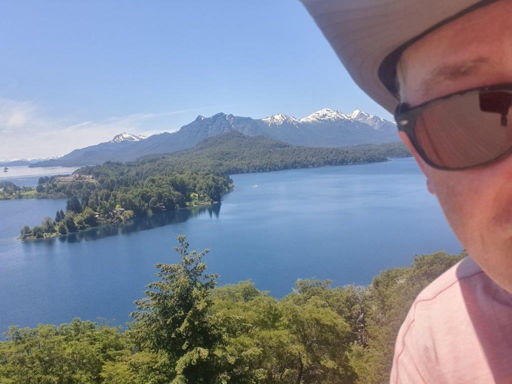
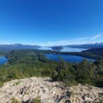
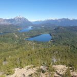
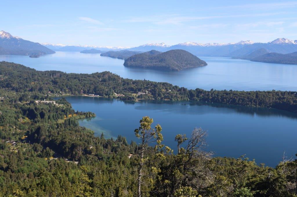
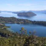
From an altitude of over 1000 meters it offers spectacular views over the city of Bariloche, the majestic lakes that surround it, the San Pedro Peninsula, Victoria Island and the snow-capped peaks of the Andes in the distance, even into Chile. According to National Geographic, Cerro Campanario has “one of the eight most impressive panoramic views in the world”.
And that is your reward after the ascend…
 The Wandelgek was astounded by these absolutely stunning views over many clear blue lakes which carried icy glacial waters from the white capped mountains of the Andes. Afew days earlier he had been travelling through the dry Patagonian Desert (which is only a few kilometres more to the east) and the contrast could not have been larger….
 Futher north the lake district ends and in Northern Argentina and Northern Chile, Bolivia and Peru, the Andes is much higher (up to almost 7000 meters), but it also gets much drier, meaning there are less lakes.
Further south, the lake district runs through a less populated area and slowly becomes less green and there are less and finally no trees and more rocky and more icy (later more about that). But overhere in the northern lake district, the mountain slopes are green, full of vegetation, from trees to bushes…
 There are also lots of waterfalls and rivers in this area…
I loved these views and again the weather was fantastic. It was less windy too.
Stunning views in every direction…
Victoria Island was clearly visible in the center of Nahuel Huapi Lake…
When The Wandelgek turned his head he saw another magnificent breathtaking view…
Maybe it’s time to mention that the Andes’ highest peaks are also the border with Chile. A border which was disputed for a very long time in history. A violent time with quite some wars between Argentina and Chile, which ended after this border was agreed upon by the governments of both countries.
 It was Francisco Pascasio Moreno (May 31, 1852 – November 22, 1919) who was a prominent explorer and academic in Argentina, where he is usually referred to as Perito Moreno (perito means “specialist, expert”), who has been credited as one of the most influential figures in the Argentine incorporation of large parts of Patagonia and its subsequent development.
It was Perito Moreno who came with the proposal, where to draw the border lines (more about this in a subsequent blogpost).
It was difficult to tear yourself away from this wonderful panoramic view…
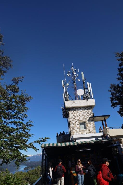
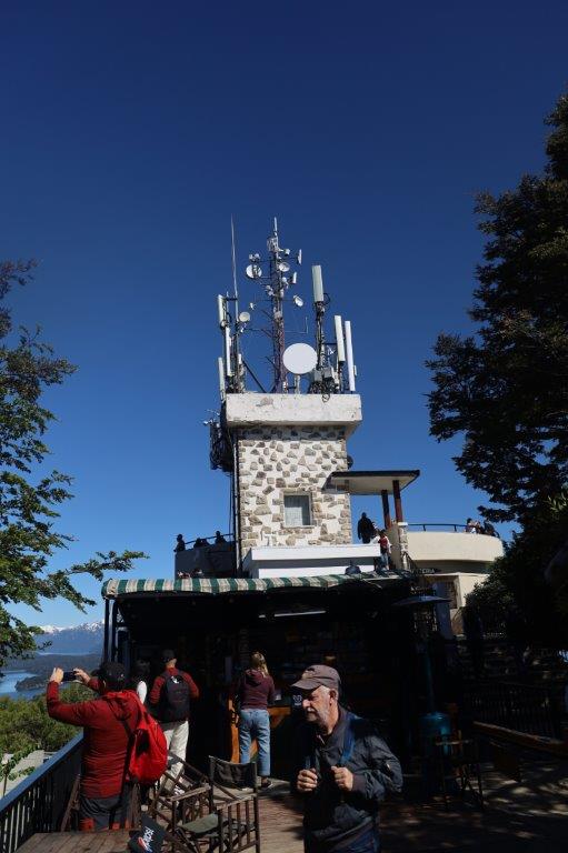
At the summit is a café terrace where you can drink a cup of coffee…
…and there is a short fenced walking trail on the summit which leads you past all the best viewing points. Somewhere on the trail are a small Virgin Mary Shrine…
… and a metal Cross…
…which reminded me of the Austrian, Bavarian, Italian and Swiss Alpes, where these Christian tokens can be found on many mountain trails or summits too.
After the descend, The Wandelgek drove further and on to the Llao Llao Peninsula. More of that in my next blogposts.


