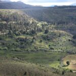
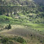
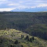
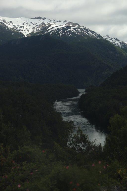
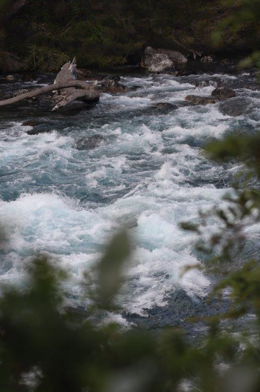
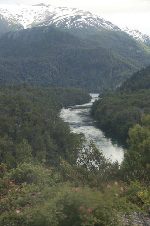
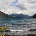
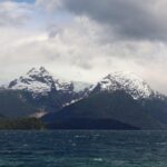
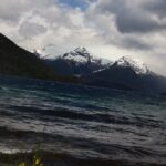
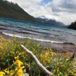
12. Argentina: Mountains, lakes, fast flowing rivers (Los Alerces National Park)
Leaving the Patagonian desert behind
Driving through the Patagonian desert The Wandelgek noticed the bus had one wheel which was troublesome. There is this system which measures and keeps the air pressure intact, but with one tire this system was constantly working to keep it going. When the bus left the next day, he expected the tire had been replaced, but it wasn’t and not even 10 kilometers away from Esquel the tire completely gave in and emptied. The driver tried to replace it but the bolts were so full of rust that they could not be removed. A local heavyweight from a garage in Esquel was called in to try and remove the bolts with brute force. It took about an hour to finally make the bolts yield…
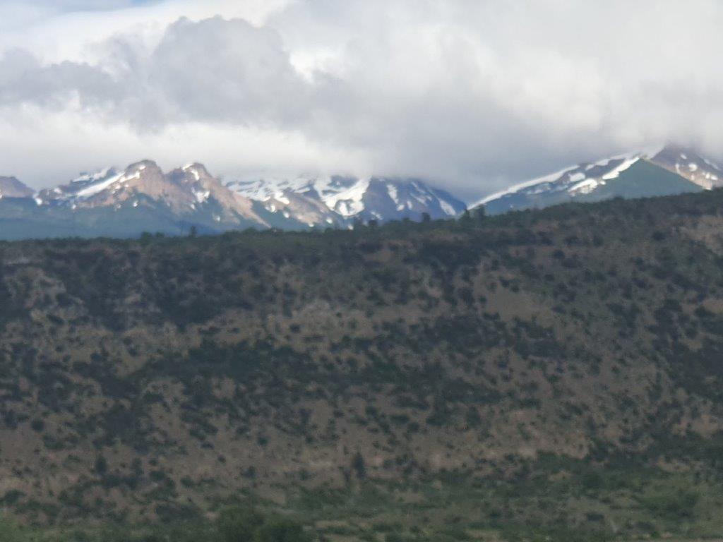
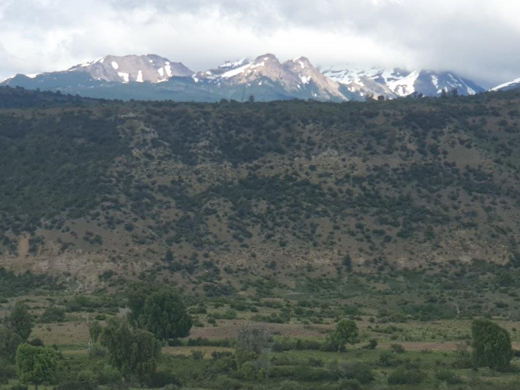
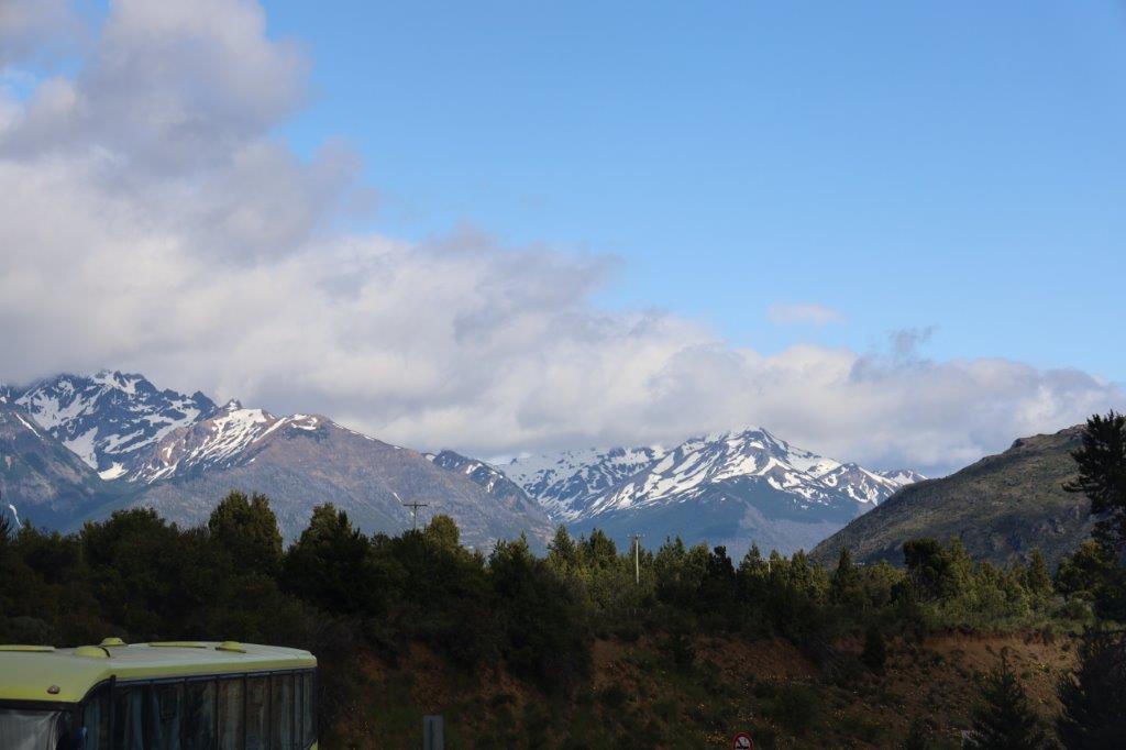
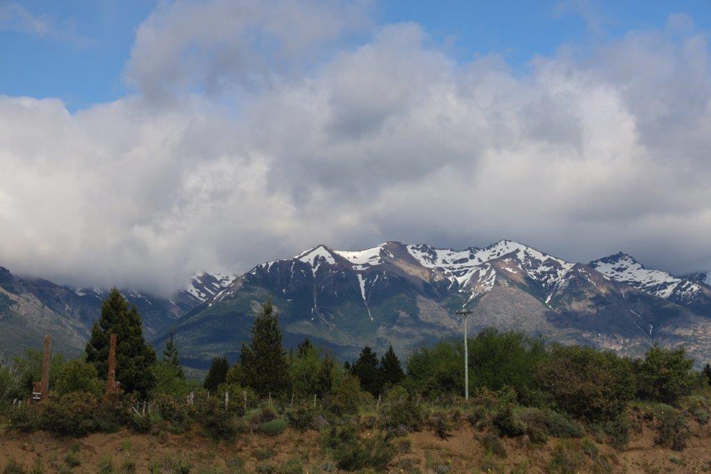
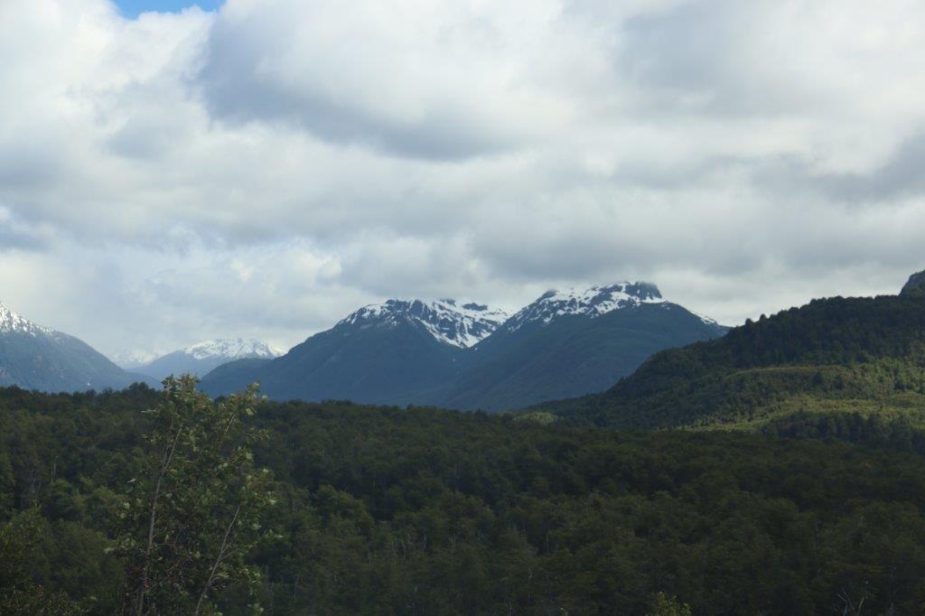
After the tire was replaced by a new one, The Wandelgek could move on towards the Andes mountains which were already quite well visible when looking along the road to the west. Snow capped mountains were now growing fast…
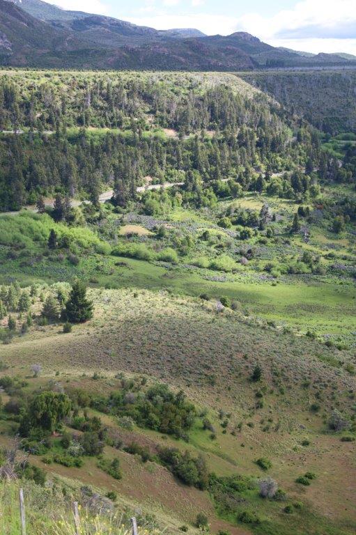
 The landscape The Wandelgek left behind is about 90% of Patagonia. Now the landscape was about to change dramatically nnto the picture perfect photobook landscapes that draw so many people to Patagonia. Just remember that it is only a 10% sliver of Patagonia that does actually look like that.
The Andes Mountain Range
The Andes, Andes Mountains or Andean Mountain Range (Spanish: Cordillera de los Andes) are the longest continental mountain range in the world, forming a continuous highland along the western edge of South America. The range is 8,900 km (5,530 mi) long, 200 to 700 km (124 to 435 mi) wide (widest between 18°S – 20°S latitude), and has an average height of about 4,000 m (13,123 ft). The Andes extend from north to south through seven South American countries: Venezuela, Colombia, Ecuador, Peru, Bolivia, Chile and Argentina. There are those that argue that the Andes goes onward past Tierra del Fuego, under water in a large bend, only showing itself above the surface of the waves at South Georgia and the Southern Sandwich islands and then finally rising above water level again at the Antarctic peninsula. That would make it an even longer mountain range.
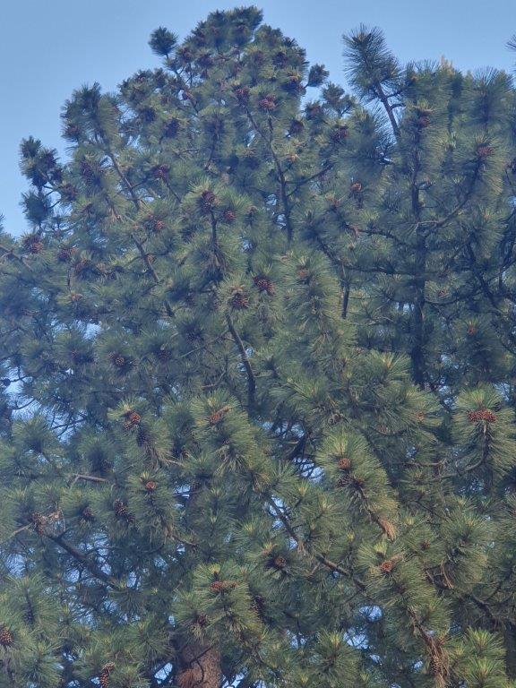
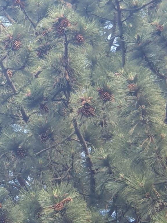
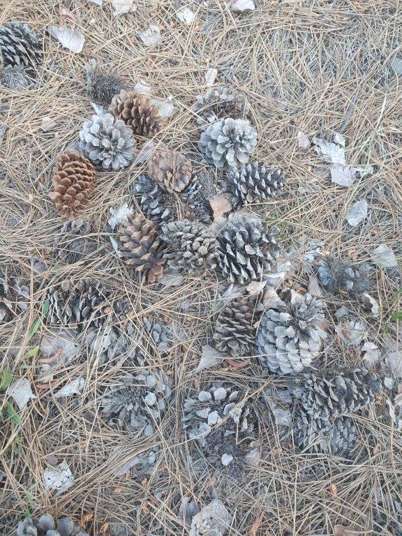
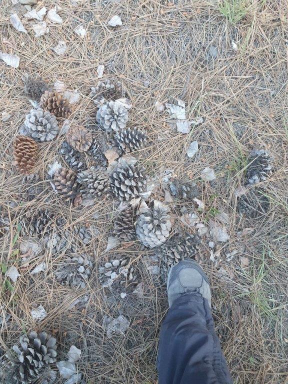
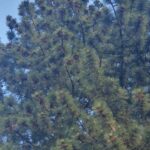
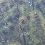
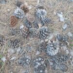
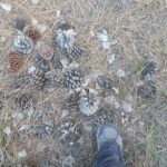
Moving closer to the Andes now, The Wandelgek could see more and more trees and plants. Everything became greener and more birds could be heard to as well as the occasional sound of water flowing are falling down somewhere. The pines in this area were carrying huge pine cones (at least in comparisson to those The Wandelgek was used to see in Europe. These were as large as his feet.
Along their length, the Andes are split into several ranges, separated by intermediate depressions. The Andes are the location of several high plateaus—some of which host major cities such as Quito, Bogotá, Cali, Arequipa, Medellín, Bucaramanga, Sucre, Mérida, El Alto and La Paz. The Altiplano plateau is the world’s second-highest after the Tibetan Plateau. These ranges are in turn grouped into three major divisions based on climate: the Tropical Andes, the Dry Andes, and the Wet Andes.
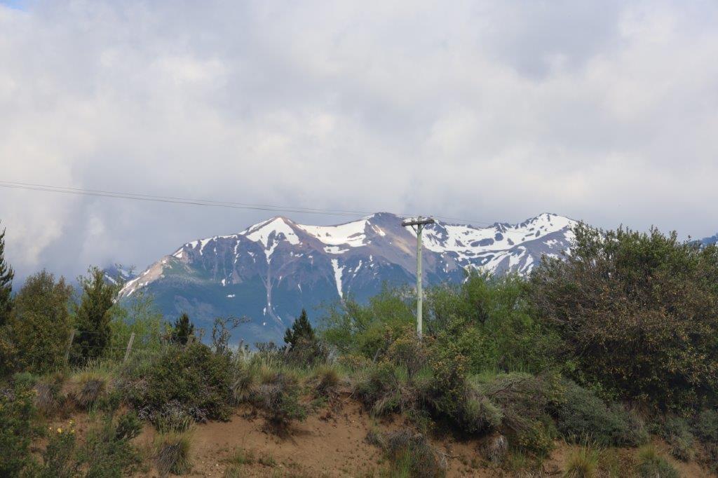
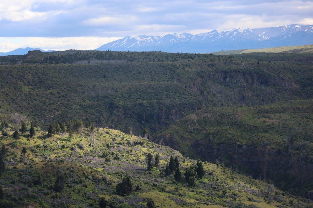
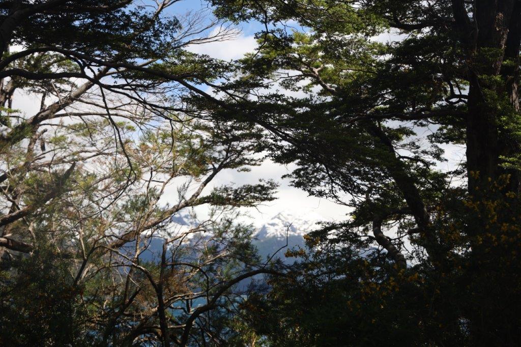
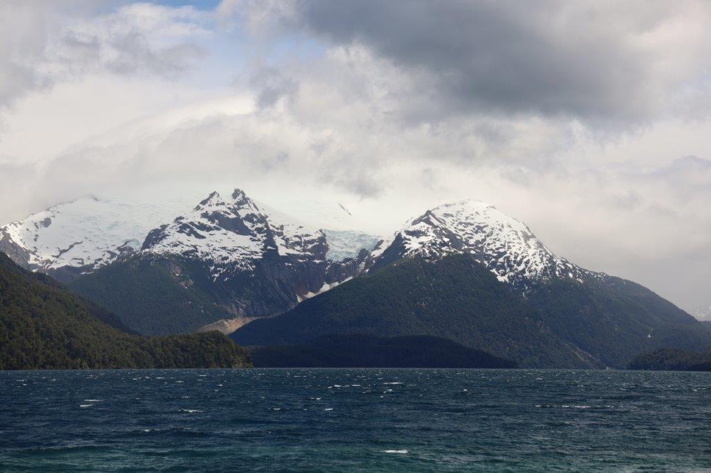
The white capped Andes mountains gradually became better visible…
…as The Wandelgek was ascending to a higher elevation level…
The Andes Mountains are the highest mountain range outside Asia. The highest mountain outside Asia, Argentina’s Mount Aconcagua, rises to an elevation of about 6,961 m (22,838 ft) above sea level. The peak of Chimborazo in the Ecuadorian Andes is farther from the Earth’s center than any other location on the Earth’s surface, due to the equatorial bulge resulting from the Earth’s rotation. The world’s highest volcanoes are in the Andes, including Ojos del Salado on the Chile-Argentina border, which rises to 6,893 m (22,615 ft).
The Andes are also part of the American Cordillera, a chain of mountain ranges (cordillera) that consists of an almost continuous sequence of mountain ranges that form the western “backbone” of the Americas and Antarctica.
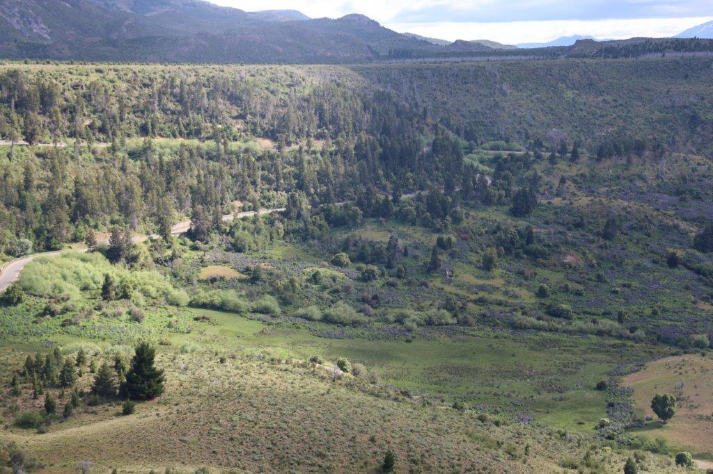
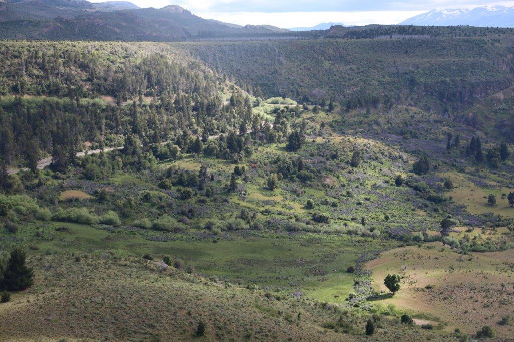
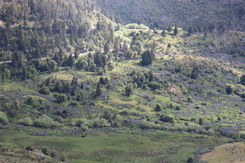
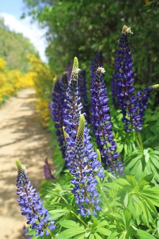
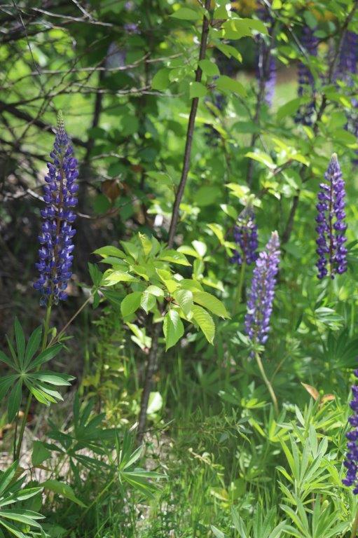
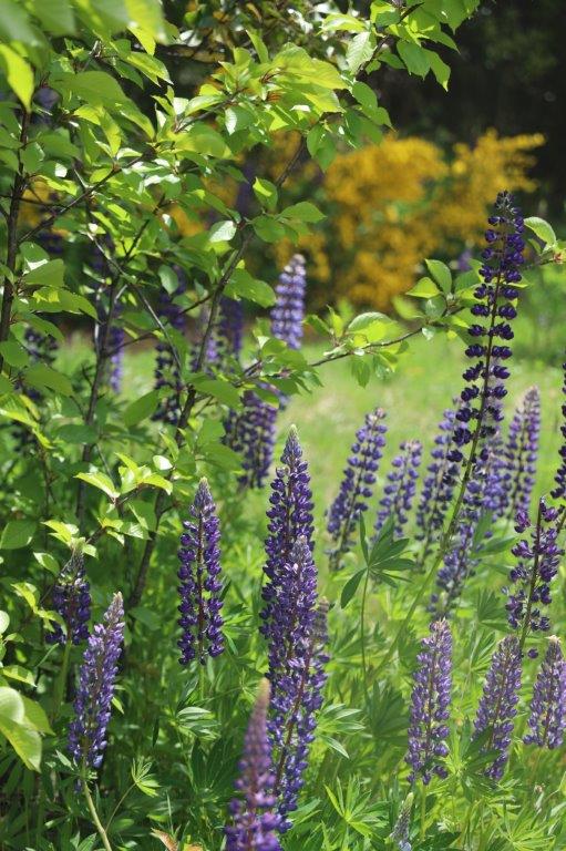
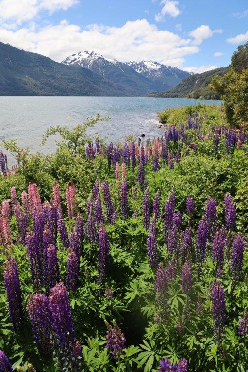
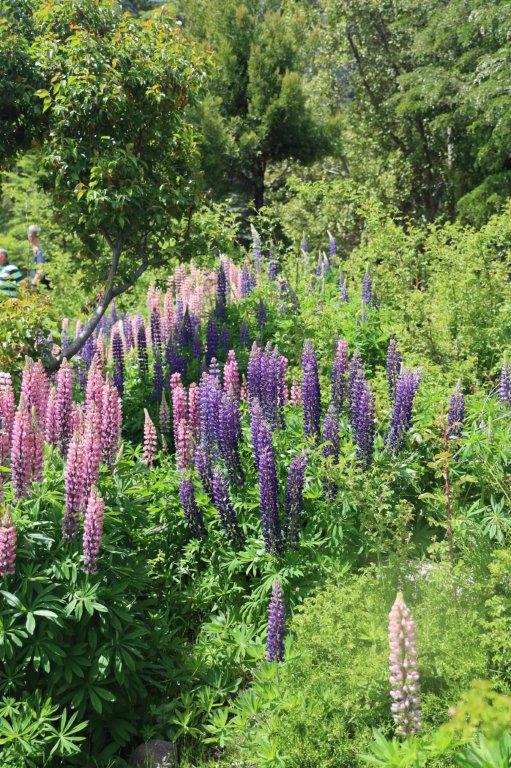
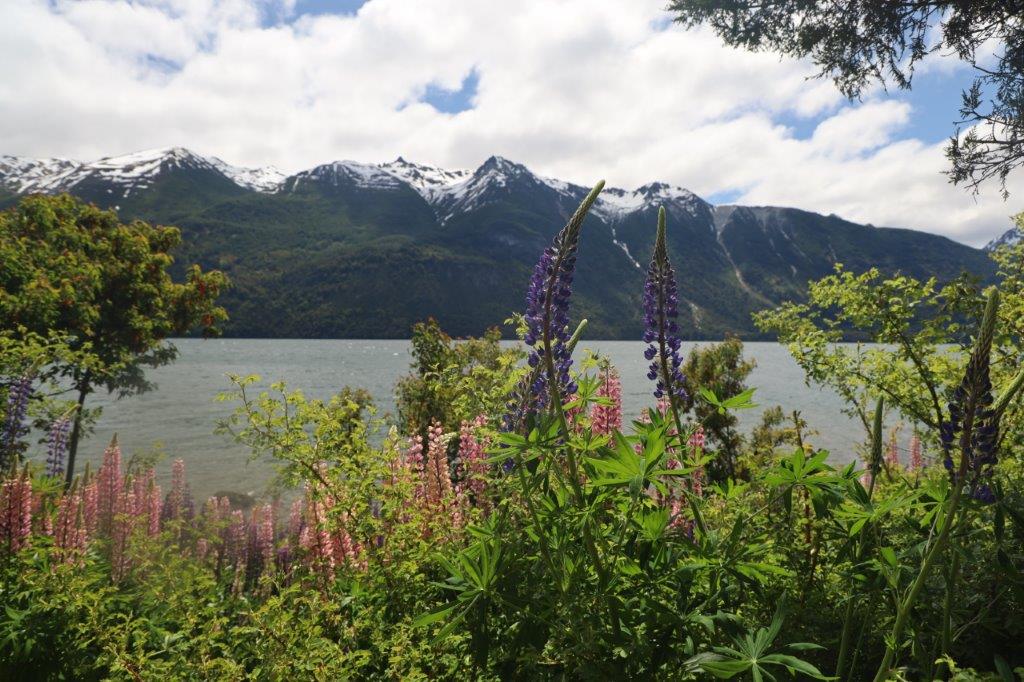
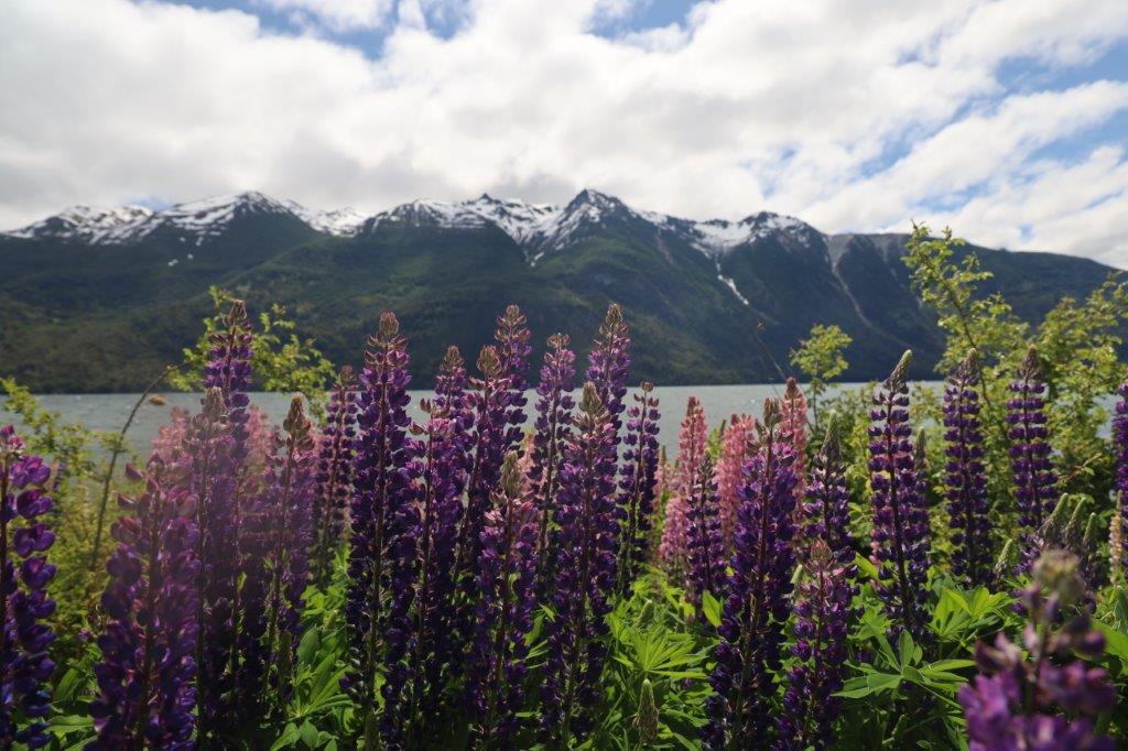
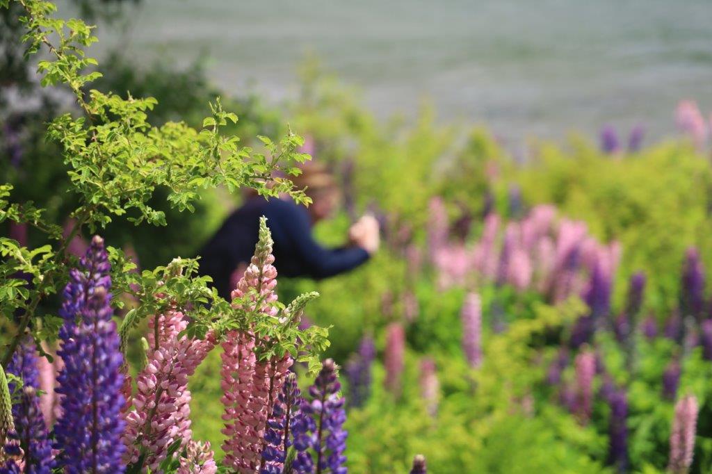
It was already a lot greener up here in the Andes foothills and because of Spring, there were loads of flowers in bloom. The amounts of flowers were much higher than The Wandelgek before had seen on The Atlantic east coast and in the dry Patagonian desert. In this valley e.g. there were loads of purple lupines blooming…
The source of all this green life was of course the water which comes from the Andes’s glaciers…
The Andes can be divided into three sections:
- The Southern Andes
- in Argentina and Chile, south of Llullaillaco.
- The Central Andes
- in Peru and Bolivia.
- The Northern Andes
- in Venezuela, Colombia, and Ecuador. In the northern part of the Andes, the separate Sierra Nevada de Santa Marta range is often treated as part of the Northern Andes.
There is a large area, mainly, but not solely on the east side of the Andes, stretching from the northern town of Neuquen to the area just south of El Calafate and Torres del Paine NP in Chile, which is like a continuous chain of mountain lakes, some small, some quite large. It is called The Lake District. Of this area, the Northern part and the Southern part are well equiped for travellers and tourists. The central part has few or no provisions for travellers. The Wandelgek was now just about 35 kilometres west of Esquel and a bit north west of Trevellin, entering the Northern Lake District.
After ascending some more kilometres, The Wandelgek was now driving into the Andes mountains and into Los Alerces National Park as well.
Spring in Los Alerces National Park
While entering the park, the clouds that had been predominantly present were dissolving quickly, being dispersed by the never non present wind of Patagonia. The sun came out 🌞.
Parque Nacional Los Alerces covers 2,630 sq km (1,012 sq miles) and is less spoiled by towns and people than other parks in this region.
There is a road going through the eastern part of the park starting west of Esquel and returning to the main RN 40 road at Cholila.
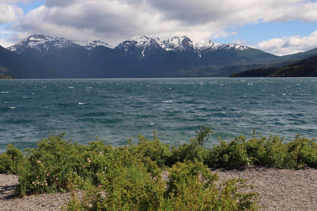
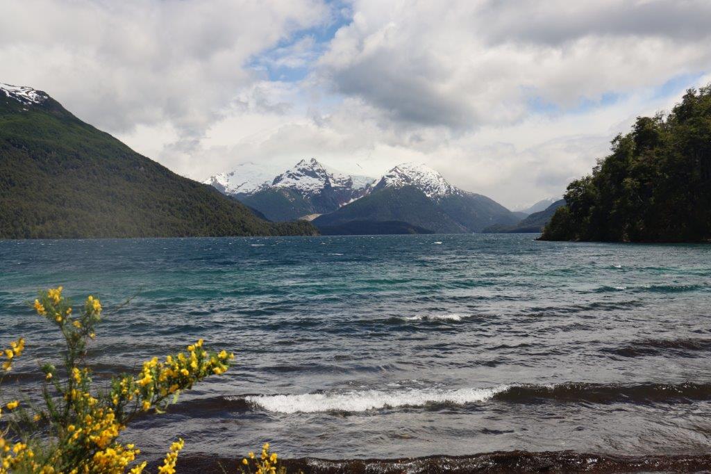
The road skirts Lago Futalaufquen and the tip of Lago Menendez offering phantastic views over both lakes and the surrounding mountains of which Cerro Torrecillas (2,200 meters/7,260 ft) is the largest. It has beautiful glaciers from which the water in the many lakes originates.
It was a good choice to visit Argentina in Spring, not only because of all the animals which were nurturing their offspring, protecting their territories, but also because of nature in bloom, specificly in the mountains.
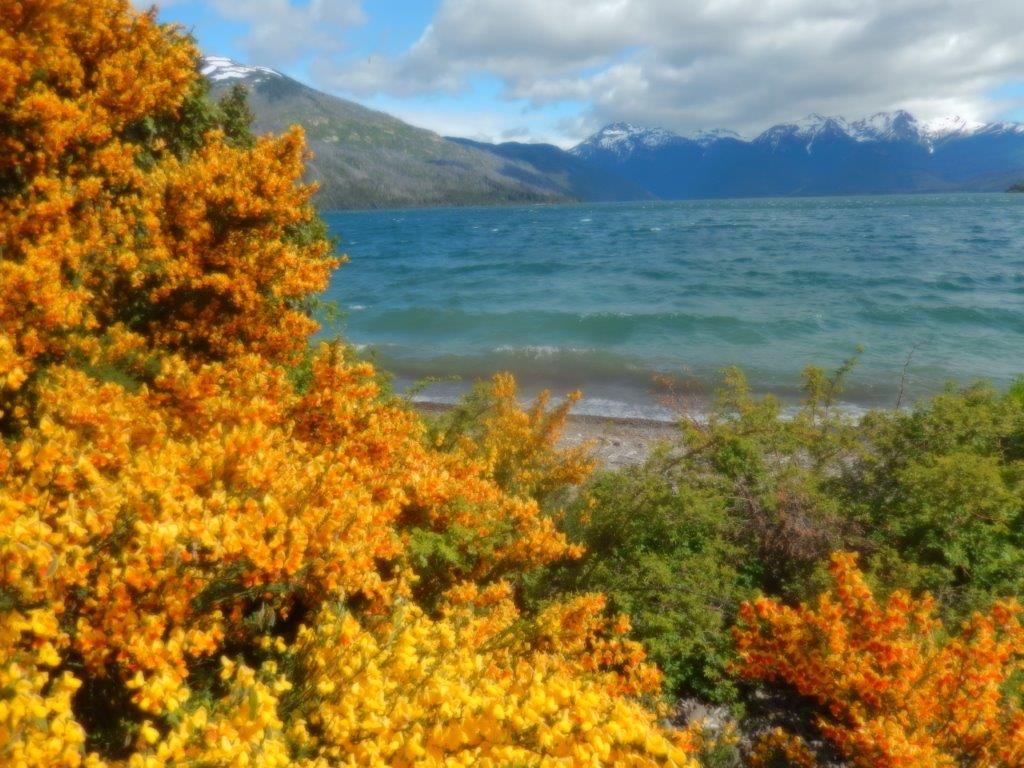
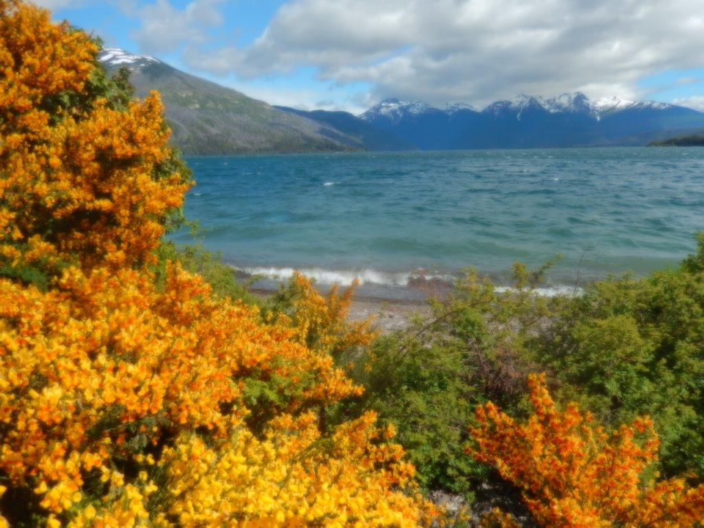
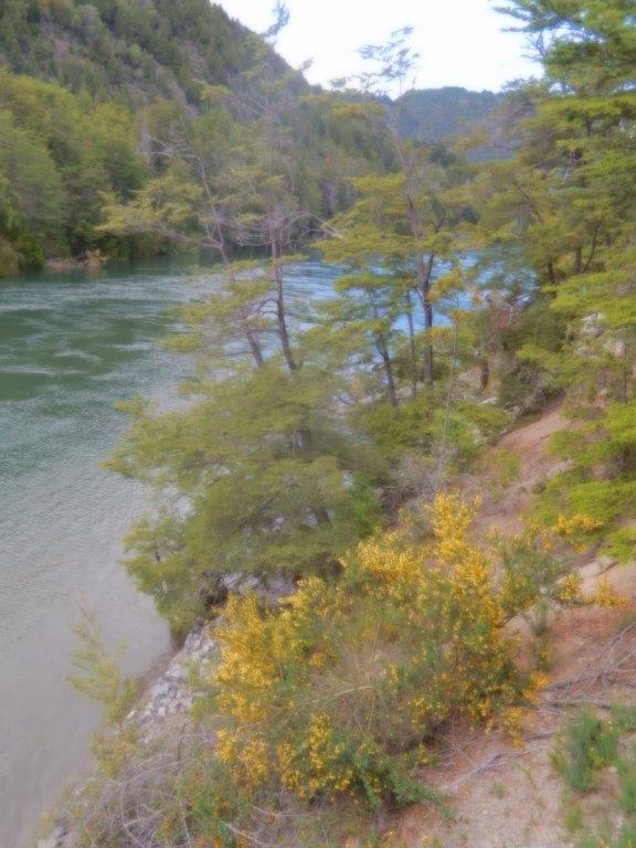
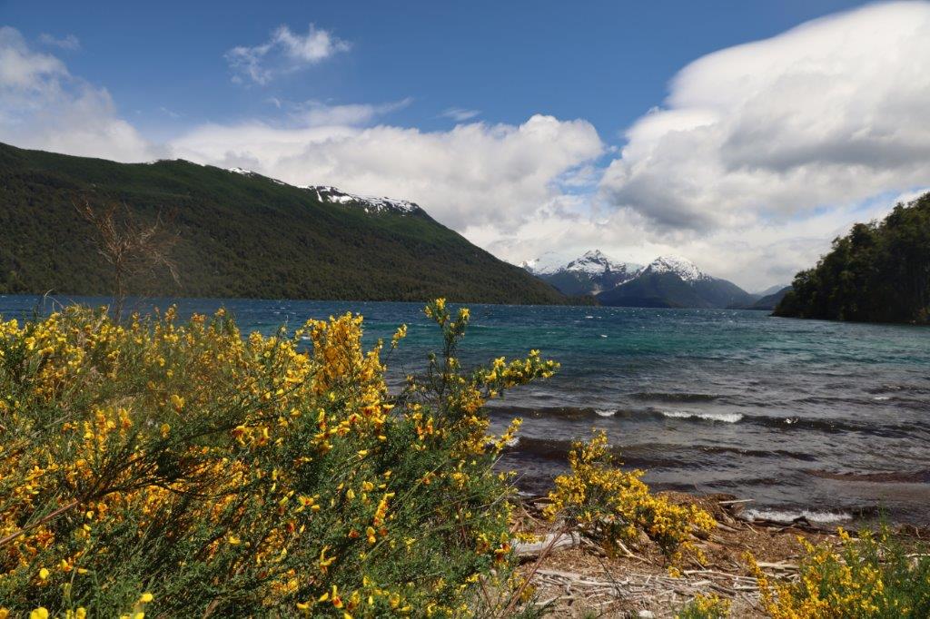
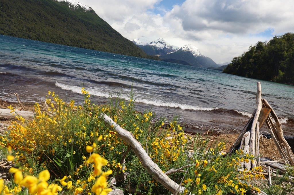
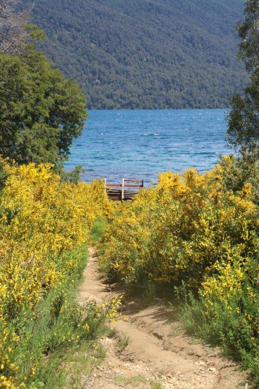
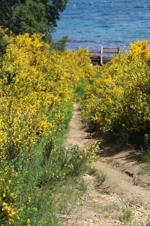
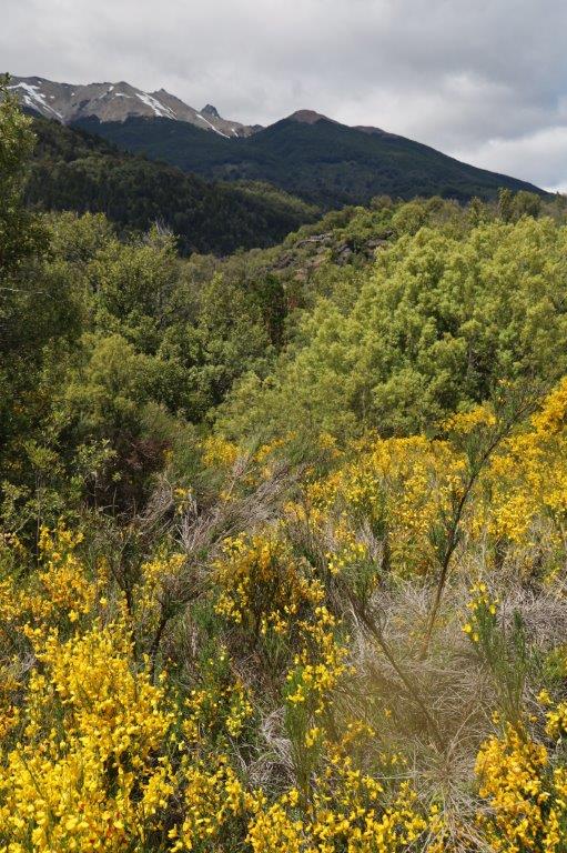
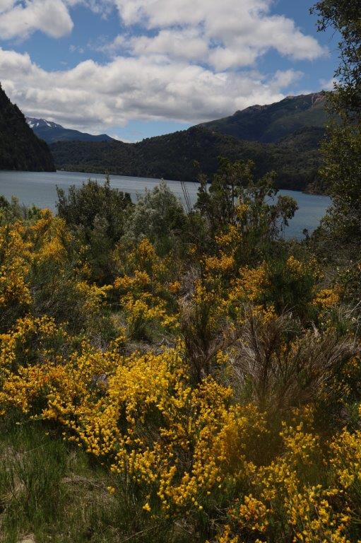
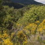
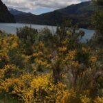
Birds were whistling in the trees and the many lake sides were full of bushes in bloom. Real eyecatchers were these yellow flowers.
Some of these were completely yellow.
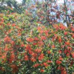
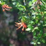
 Others were a combination of red and yellow. These red and yellow ones were called the Spanish variant because these colors grace the Spanish flag.
These bushes were like on fire when the sunbeams hit them and luckily this happened more and more as the day proceeded…
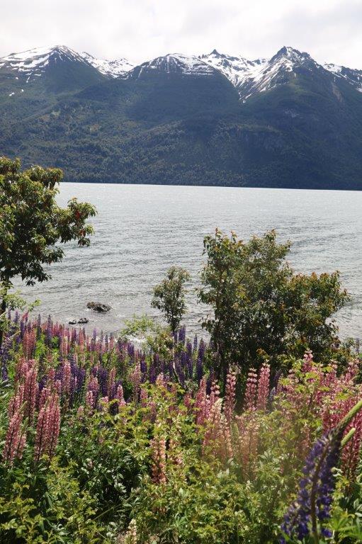
Another plant which was really common was the Lupine, specially the purple ones, although there were much more colors to be spotted…
The park had many great walking trails and The Wandelgek wouldn’t be The Wandelgek if he did not go for a walk here.
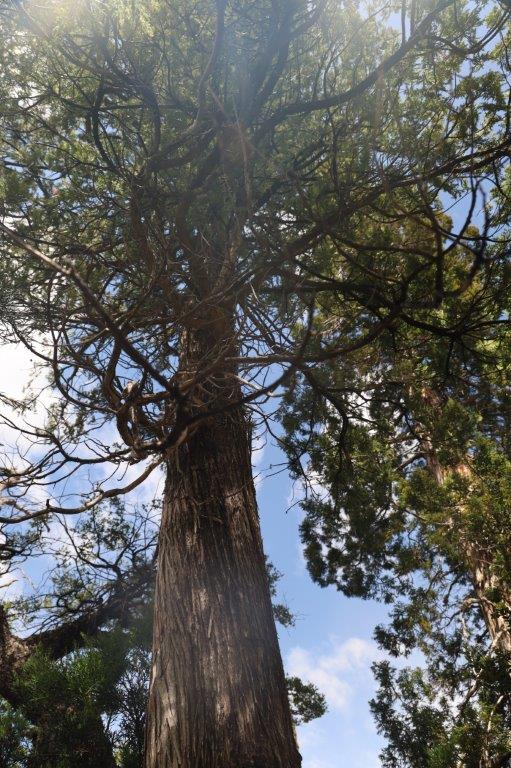
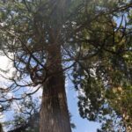
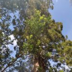
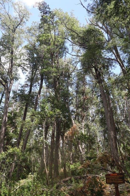
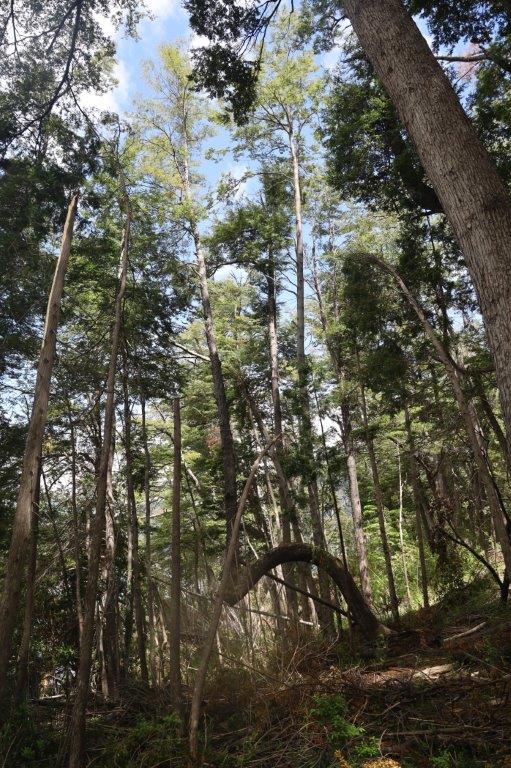
He chose a forest walk in an area where the famous Alerce trees and Fitzroya trees (related to American redwood), some of which are over 2,000 years old.
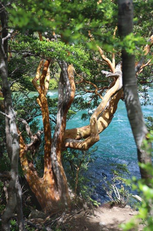
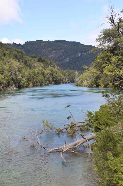
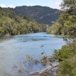
The river was down in steep stony gulch and…
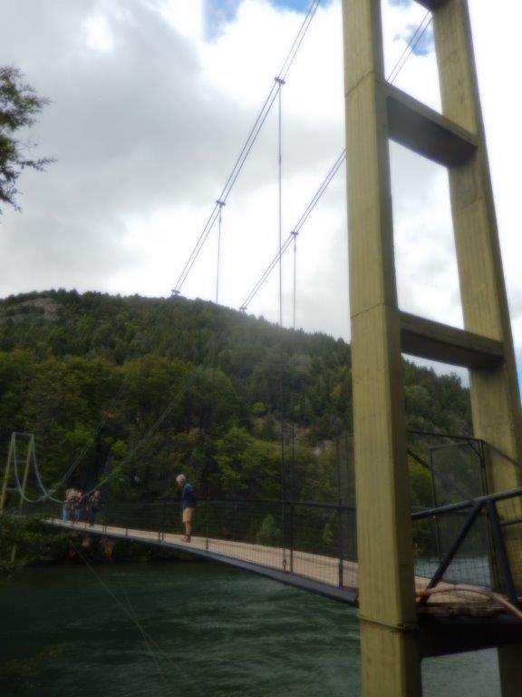
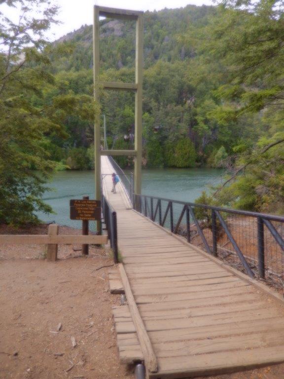
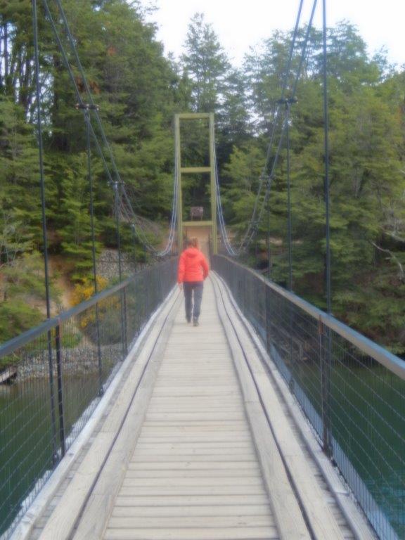
…the trail started at a bridge, …
…. crossing the Arrayanes river.
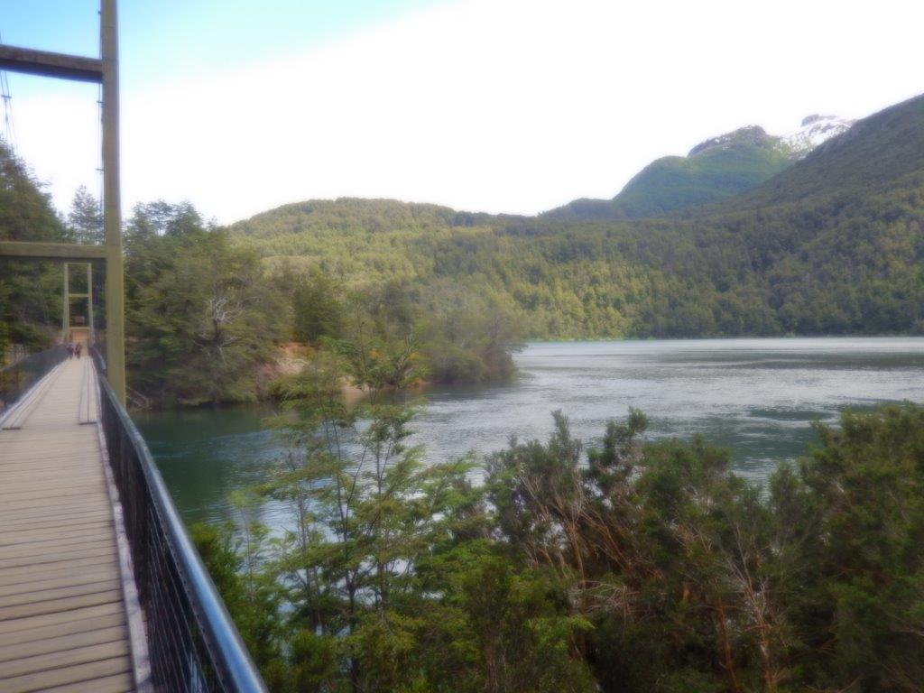
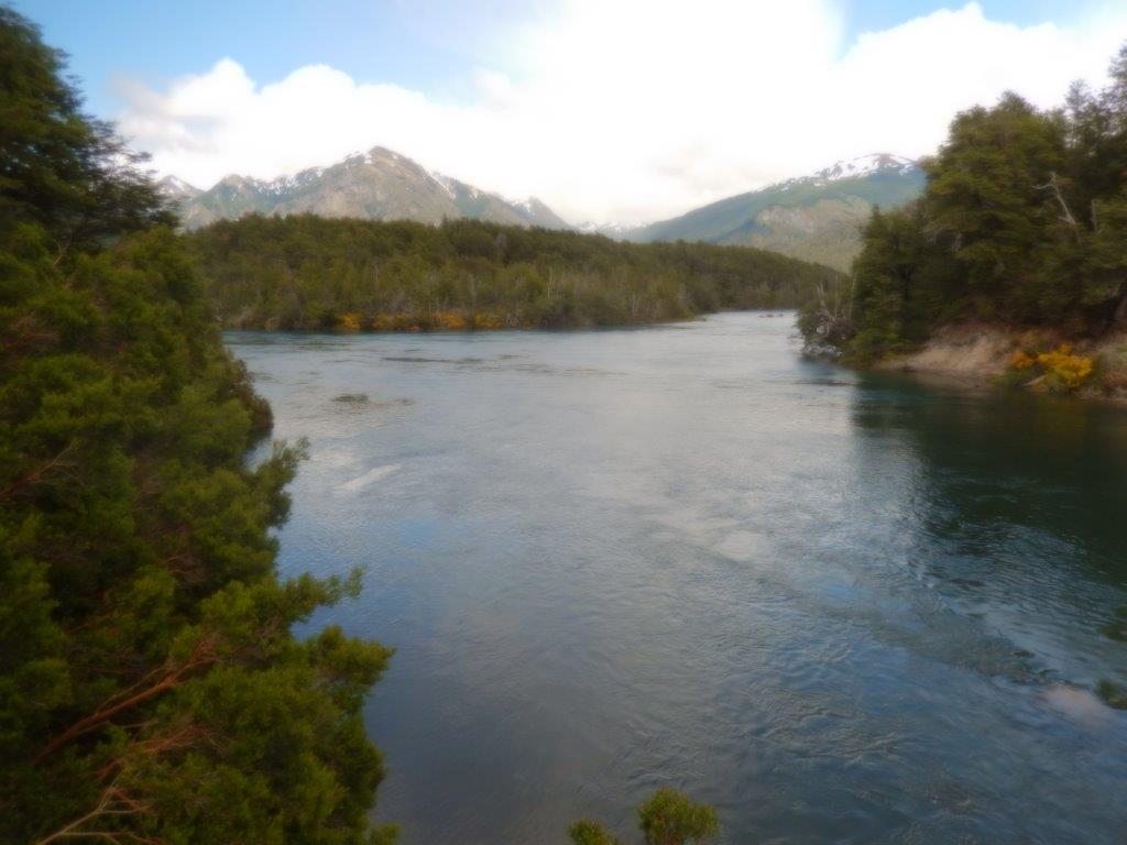
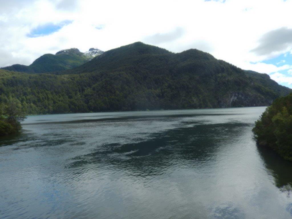
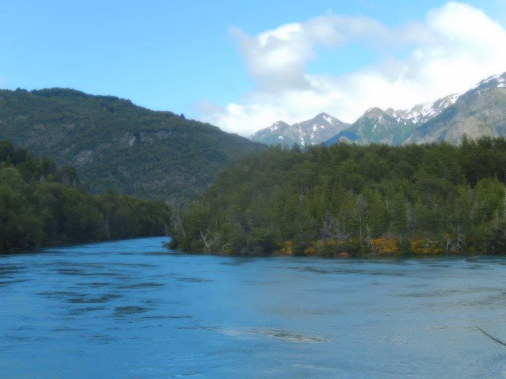
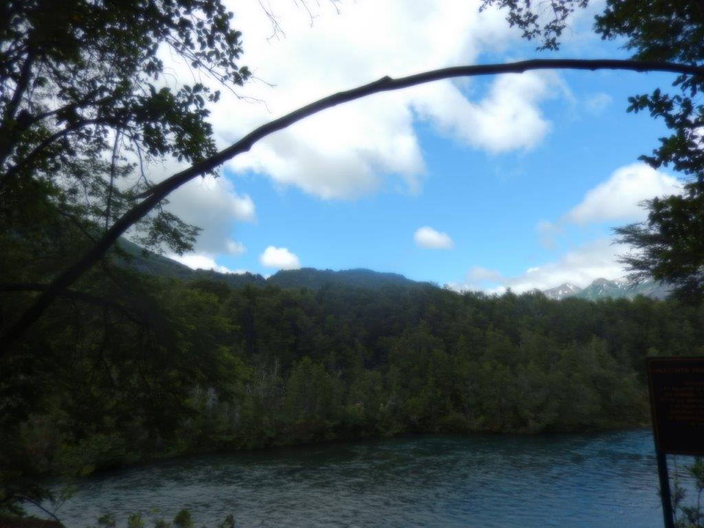
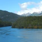
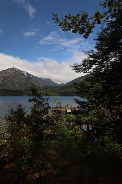
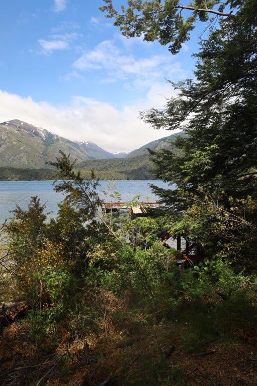
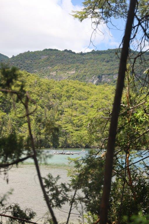
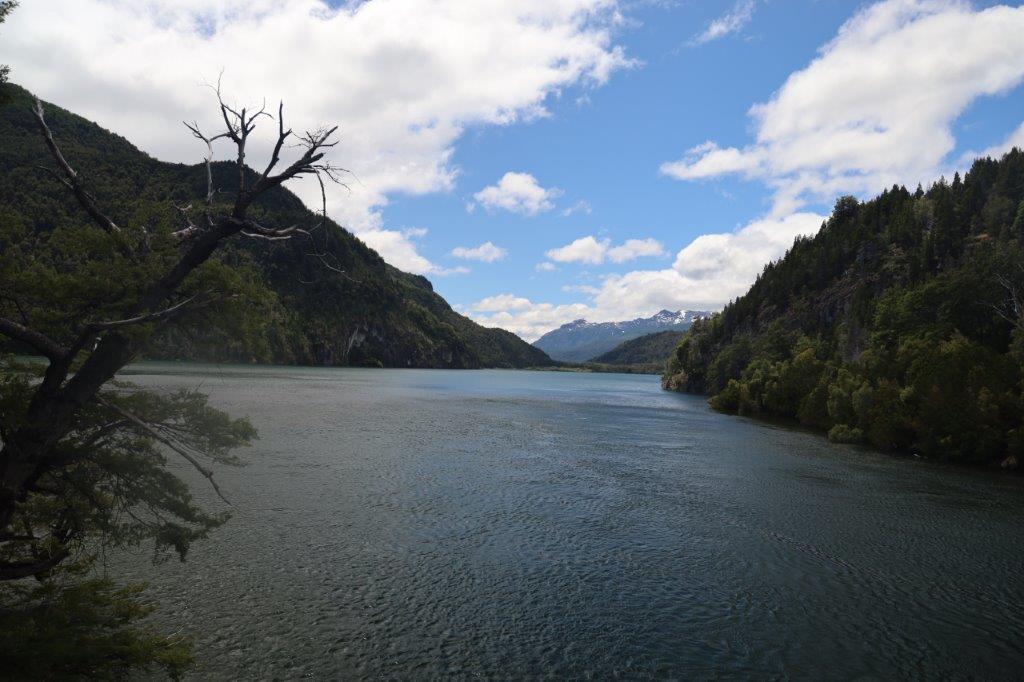
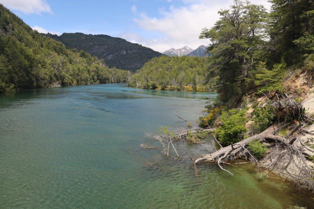
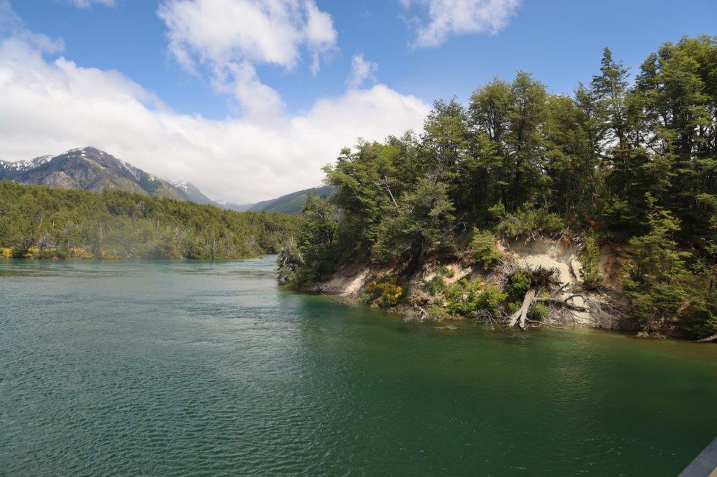
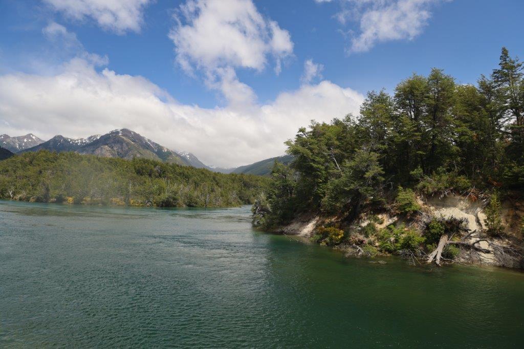
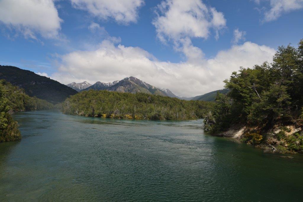
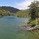
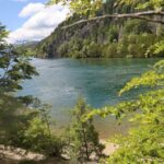
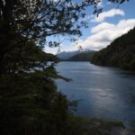
The views from the bridge over the lake and the river were magnificent and because there were no trees blocking the view, it became visible that tge clouds were drifting apart, showing more and more patches of blue sky…
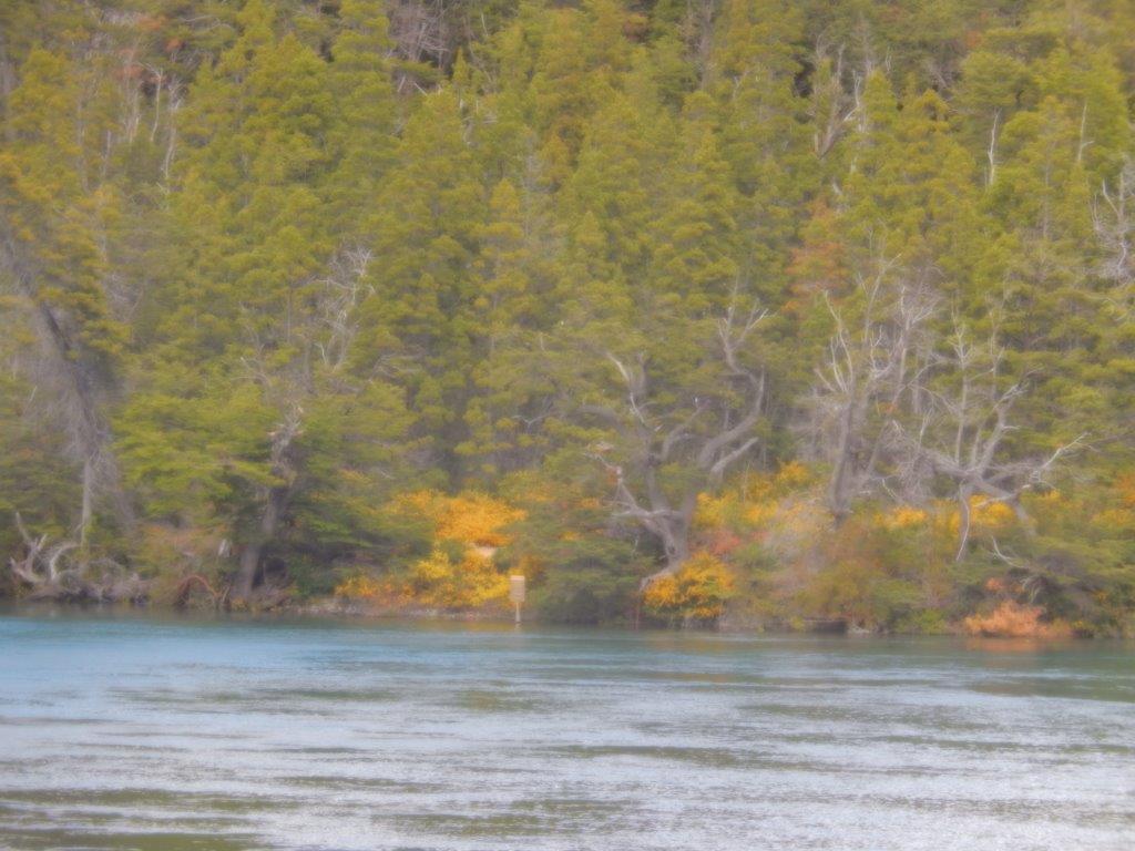
… the yellow flowers were almost everywhere near the water and they added a finishing touch to the already beautiful views…
Next, the trail went into the forest and very soon The Wandelgek was surrounded by trees.
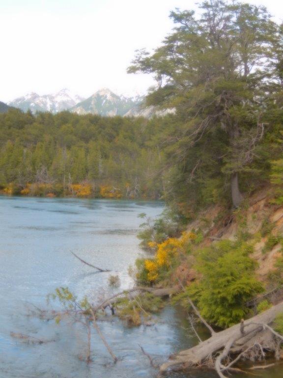
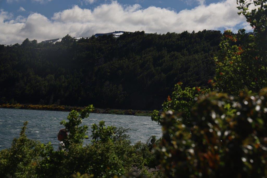
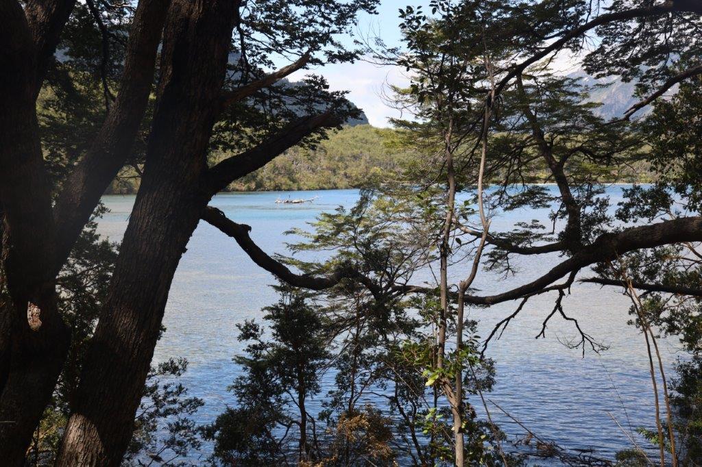
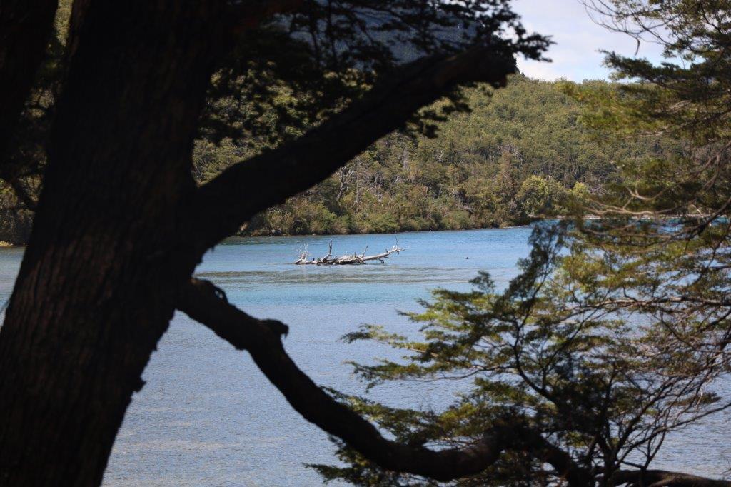
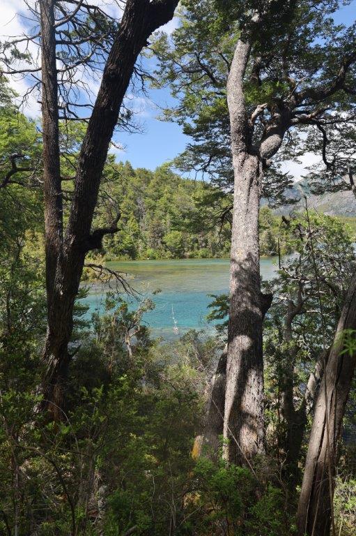
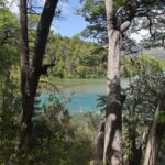
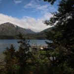
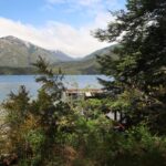
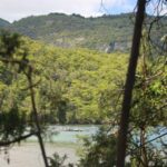
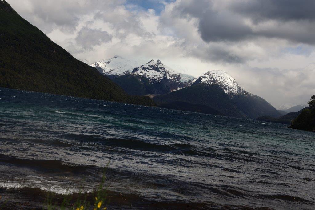
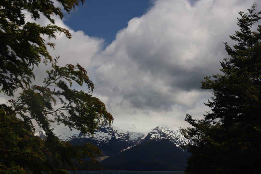
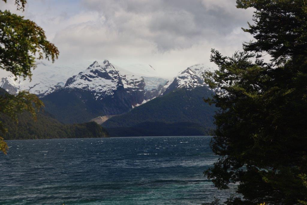
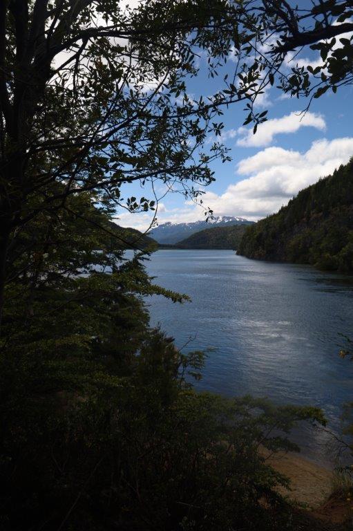
The lake was occasionally still visible and so were the white capped Andes Mountain summits…
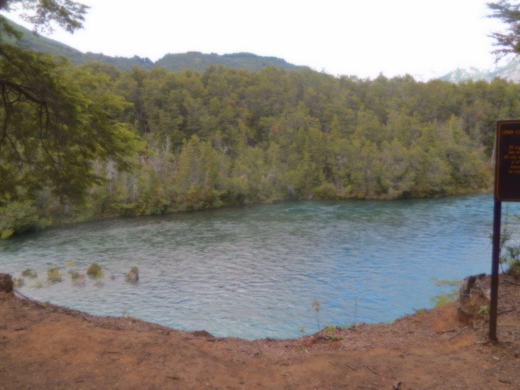
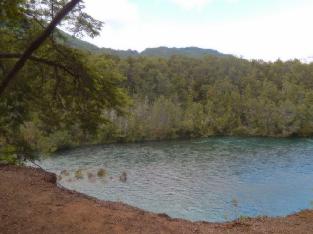
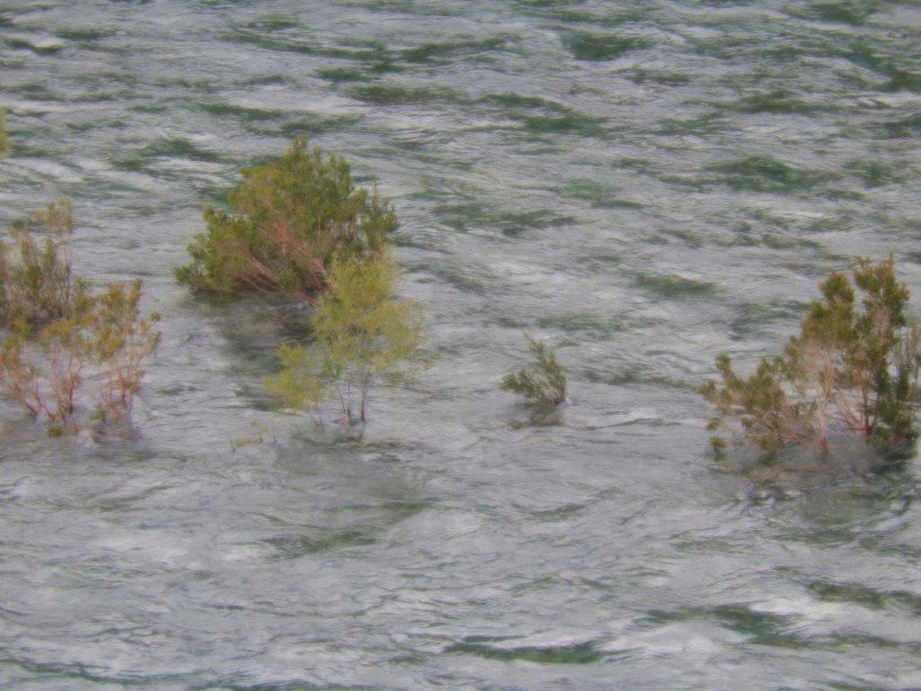
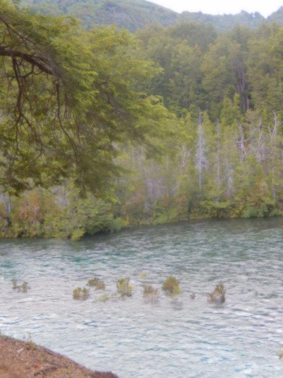
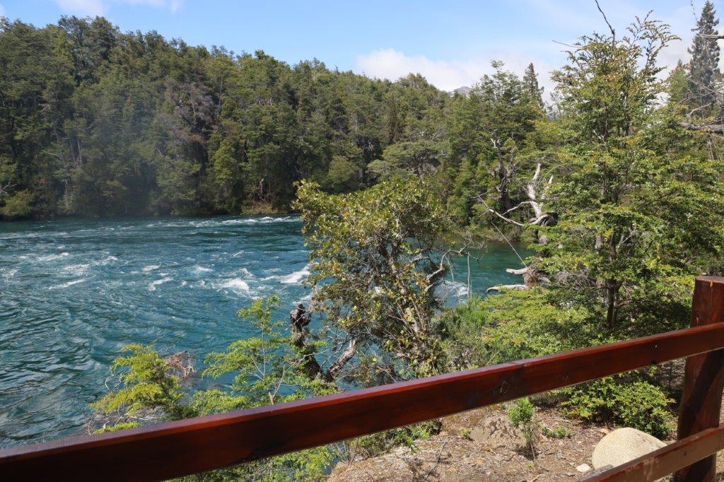
The white water rapids in the river could be heard from afar and the trail never wandered away very far from its edge …
Los Alerces National Park (Spanish: Parque Nacional Los Alerces) is located in the Andes in Chubut Province in the Patagonian region of Argentina.
Its western boundary coincides with the Chilean border. Successive glaciations have molded the landscape in the region creating spectacular features such as moraines, glacial cirques and clear-water lakes. The vegetation is dominated by dense temperate forests, which give way to alpine meadows higher up under the rocky Andean peaks. A highly distinctive and emblematic feature is its alerce forest; the globally threatened alerce tree is the second longest living tree species in the world (>3,600 years). The alerce forests in the park are in an excellent state of conservation. The property is vital for the protection of some of the last portions of continuous Patagonian Forest in an almost pristine state and is the habitat for a number of endemic and threatened species of flora and fauna.
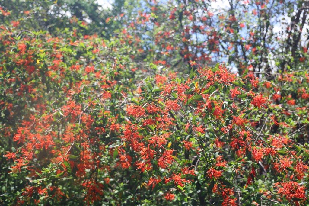
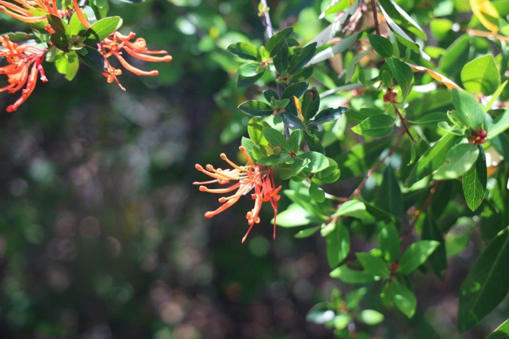
Flowers can be so amazingly attractive, like e.g. this one, trying its best to attract insects to disperse its pollen for reproduction…
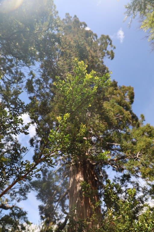
 There were really large trees in the area, like the Alerce trees (where the National Park was named after) and the Fitzroya trees.
The sun started to show itself more and more…
… giving the area a more friendly, more habitable look…
The Wandelgek never ever visited Canada but this area looked like a Discovery or National Geographic Channel documentary about the Canadian rockies…
The mountains were never far and The Wandelgek still often thought back on the day before when he drove through the Patagonian desert. How different everything looked and felt now…
Somewhere along the trail was this small shrine…
Designated a World Heritage Site in 2017, the park was created in 1937 to protect forests of alerce trees, called lahuán by the Mapuche people, and other examples of the flora of the Patagonian Andes. The National Park has the largest alerce forest in Argentina. Alerce is often compared in appearance to the Sequoia trees of the United States, reaching a very large size. It is one of the longest-living trees in the world; some in Chile are 3,600 years old. The alerce grows very slowly and belongs to the family Cupressaceae (cypresses). The alerce is restricted to a small range in Chile and Argentina and the species is endangered due to exploitation of the tree for lumber.
The best-known alerce forest in the park, reachable by boat and often visited by tourists, is at a boat dock called Puerto Sagrario at the northern end of Lake Menéndez. The largest known alerce tree in Argentina is located there. It is 57 metres (187 ft) tall, 2.2 metres (7.2 ft) in diameter, and 2,600 years old. Regular tours visit the forest. Taller and larger alerce trees are believed to exist on the southwestern arm of Lake Menéndez, but access to that area is restricted.
The virgin alerce forests in the park cover an area of 7,407 hectares (18,300 acres) on the two arms of Lake Menéndez and the upper part of Amutui Quimey Reservoir, and along the streams feeding into those lakes.
Los Alerces National Park consists of two parts: the formally declared national park of 187,379 hectares (723.47 sq mi) and the adjoining Los Alerces National Reserve of 71,443 hectares (275.84 sq mi). Almost all the development in the park is in the national reserve. A buffer area 10 kilometres (6.2 mi) wide surrounds the three sides of the park which do not border on Chile.
Los Alerces National Park is shaped like a rough rectangle, extending approximately 65 kilometres (40 mi) north to south along the border with Chile and 45 kilometres (28 mi) east to west.
All of Los Alerces National Park is in the drainage basin of the Futaleufú River, although the river is called by several different names during its course in Argentina. A chain of lakes separated by short courses of turbulent river characterize the park. Lake Rivadavia is the beginning of the chain. The outflow from Lake Rivadavia is called the Rivadavia River which flows into the much smaller Green Lake. The outlet from Green Lake is called the Arrayanes River, which after receiving the outflow from Lake Menéndez continues on to Futalaufquen Lake. Below Futalaufquen Lake is Kruger Lake and the Frey River which flows into Amutui Quimey Reservoir, an artificial lake. The river known as the Futaleufú emerges below Amutui Quimey reservoir and becomes the southern boundary of the National Park. Scattered around the mountains and valleys of the park are a number of smaller lakes and streams.
The highest point in the Los Alerces National Park is Cordon de las Pirámides, 2,440 metres (8,010 ft) in elevation. The lowest point in the park is about 330 metres (1,080 ft) where the Futaleufú river crosses into Chile.
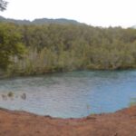
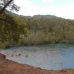
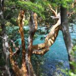
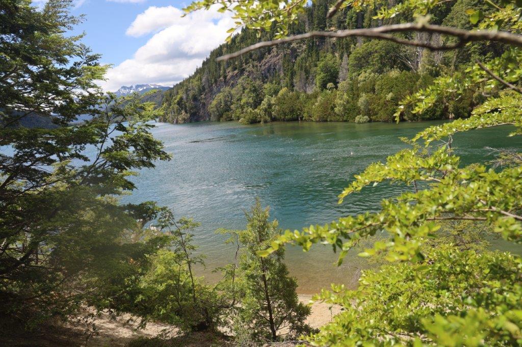
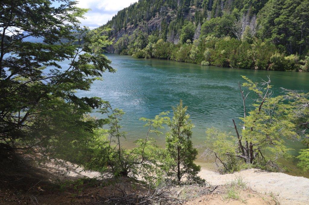
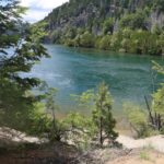
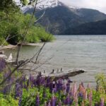
Occasionally, the trail skirted some stretches of lake shore, where the bright yellow flowers took over from the deep greens of the trees…
 The lower elevations in Los Alerces National Park are classified as Oceanic climates. Moisture-laden clouds from the Pacific Ocean strike the Andes on the Chilean-Argentine border and produce up to 3,000 millimetres (120 in) of precipitation annually, mostly in the form of rain at lower elevations and snow at higher elevations. Eastward from the crest of the Andes, in a rain shadow, precipitation decreases rapidly, falling to about 800 millimetres (31 in) at the eastern edge of the park. Temperatures in the park range from cold to moderate. Freezes can occur in any month of the year. At the park headquarters at one of the lowest elevations in the park, the warmest month is January with average daily maximum and minimum temperatures of 24° celsius (75° fahrenheit) and 8° celsius (46° fahrenheit). The average temperatures in July, the coldest month, are 7° (45° fahrenheit) high and -1° (30° fahrenheit) low.
It had been 3 years for The Wandelgek to visit another mountain range. As a lowlands citizen, mountains never became common to him.
Even during the covid years, The Wandelgek tried to find substitute “mountains”, by walking the Dutch Mountain Trail, but naturally those were just hills, because The Netherlands do not have any real mountains.
A famous dutch band named The Nits made a song called “In the dutch mountains”, but what they’re really talking about are the brick buildings of the many dutch cities and villages. For real mountains the dutch mostly travel towards the Alpes.
So this was like a relief to be able to breath the fresh mountain air and to be far away from honking car horns, neon light commercial signs, traffic jams and all the other noise, air and light pollution that people living together in large quantities inevitably produce.
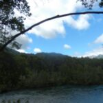
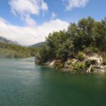
As you can see from the many pictures, the panoramic views of the area were fabulous.
They were also typical for this moderate climate area of the Andes mountains and certainly not typical for the complete Andes range.
Fitzroya is a monotypic genus in the cypress family. The single living species, Fitzroya cupressoides, is a tall, long-lived conifer native to the Andes mountains and coastal regions of southern Chile, and only to the Andes mountains Argentina, where it is an important member of the Valdivian temperate forests. Common names include alerce, lahuán, and Patagonian cypress. The genus was named in honour of Robert FitzRoy.
Fitzroya cupressoides is the largest tree species in South America, normally growing to 40–60 m, but occasionally more than 70 m, and up to 5 m in trunk diameter. Its rough pyramidal canopy provides cover for the southern beech, laurel and myrtle. The largest known living specimen is Alerce Milenario in Alerce Costero National Park, Chile. It is more than 60 m tall, with a trunk diameter of 4.26 m. Much larger specimens existed before the species was heavily logged in the 19th and 20th centuries; Charles Darwin reported finding a specimen 12.6 m in diameter.
A very good spot for a long lunch break, before finishing the trail in the early afternoon…
Temperatures were still 5 degrees Celsius above average.
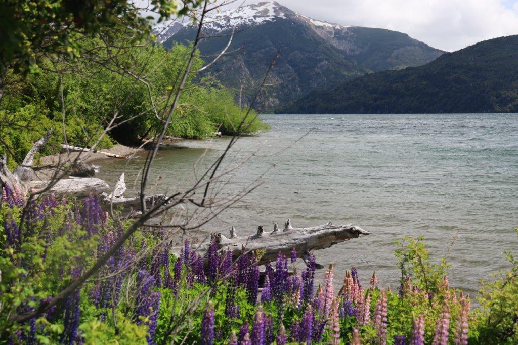
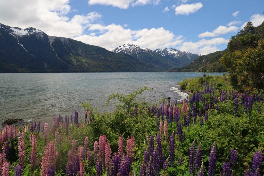
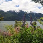
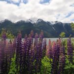
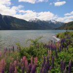
The final stretch of the trail went past an area of pink and purple lupines growing near the lake shore…
Lupinus, commonly known as lupin, lupine, or regionally bluebonnet etc., is a genus of plants in the legume family Fabaceae. The genus includes over 199 species, with centers of diversity in North and South America. Smaller centers occur in North Africa and the Mediterranean. They are widely cultivated, both as a food source and as ornamental plants, but are invasive to some areas.
Lupines also have a smell which can be scented from afar….
The lake views were wonderful…
It still had that Canadian rockies vibe, probably because in geographical altitude, it was the southern hemisphere opposite of the northern hemisphere Canadian rockies.
More lupines crowded the shores..
Then the end of today’s trail and the very 1st impressions of the Andes Mountain range were getting close and…
… The Wandelgek reached the spot where the bus was waiting to pick him up and drive on further north, for lots more walks in the Andes…


