Dutch Mountain Trail – Finishing touches 1: Ultimate city walk through Maastricht
One of the many things The Wandelgek did in the few remaining days in Maasticht was perfecting a city walk which he had done and expanded upon for many years now. A few years ago he even acted as a city guide for a group of colleagues and led them through this most beautiful city of The Netherlands.
Oh but what about Amsterdam? I hear you think. Well Amsterdam is a very beautiful town, but it is doubtlessly over marketed by tourism industry because it is nearest to our main international airport and because it is our capital city.
But did you ever hear of Middelburg, Amersfoort, Deventer, Zutphen, Valkenburg or Maastricht? Probably not and very probably not of all of them when you’re not Dutch.
Well just to give you an idea of what I’m talking about: Maastricht leads the list of cities with the highest number of monuments in The Netherlands. In that list Amsterdam is 3rd after Leiden.
Maastricht (Limburgish: Mestreech) is a city and a municipality in the southeastern Netherlands. It is the capital and largest city of the province of Limburg. Maastricht is located on both sides of the Meuse (Dutch: Maas), at the point where the Jeker joins it. Mount Saint Peter (Sint-Pietersberg) is largely situated within the city’s municipal borders. Maastricht is adjacent to the border with Belgium. It is part of the Meuse-Rhine Euroregion, a metropolis with a population of about 3.9 million, which includes the nearby German and Belgian cities of Aachen, Liège and Hasselt.
This strange location where it is connected by a narrow (in some places only 6 km wide) corridor to the reest of The Netherlands originated from the seperation of the roman catholic southern Netherlands from the protestant north.
After the Napoleonic era, Maastricht became part of the United Kingdom of the Netherlands in 1815. It was made the capital of the newly formed Province of Limburg (1815–1839). When the southern provinces of the newly formed kingdom seceded in 1830, the Dutch garrison in Maastricht remained loyal to the Dutch king, William I, even when most of the inhabitants of the town and the surrounding area sided with the Belgian revolutionaries. In 1831, arbitration by the Great Powers allocated the city to the Netherlands. However, neither the Dutch nor the Belgians agreed to this and the arrangement was not implemented until the 1839 Treaty of London. During this period of isolation Maastricht developed into an early industrial town.

Maastricht is famous because here the treaty of Maastricht which consolidated the European Union was signed in 1992. It is a city in the utmost south of The Netherlands which combines roman, medieval and modern architecture as no other. It also has an international vibe because it is surrounded by Germany and Belgium and is home to some EU institutions and has a university, both attracting dutch as well as international employees and students. Where most of Zuid-Limburg has German architectural influences, Maastricht is an exception. It has distinctive French architectural influences in building styles, but also in parts of the street pattern which is reminiscent to the Parisian/French and Wallon avenues and allées.
So after this brief introduction, let’s start our city walk:
![]() The city walk starts and finishes at:
The city walk starts and finishes at:
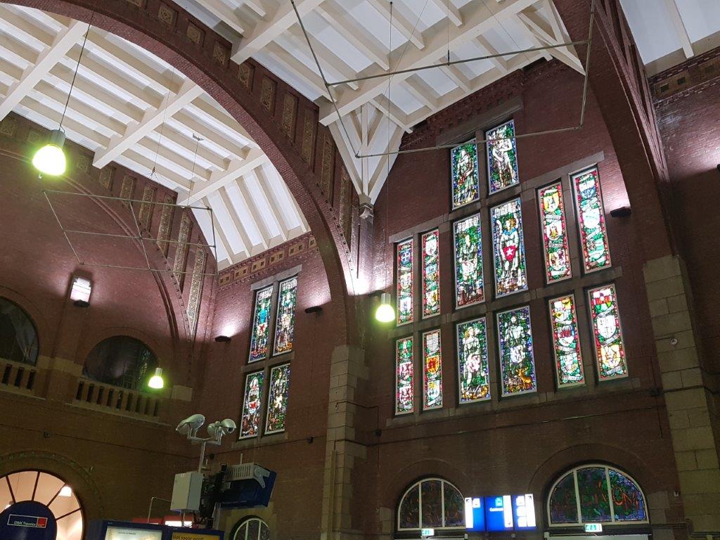
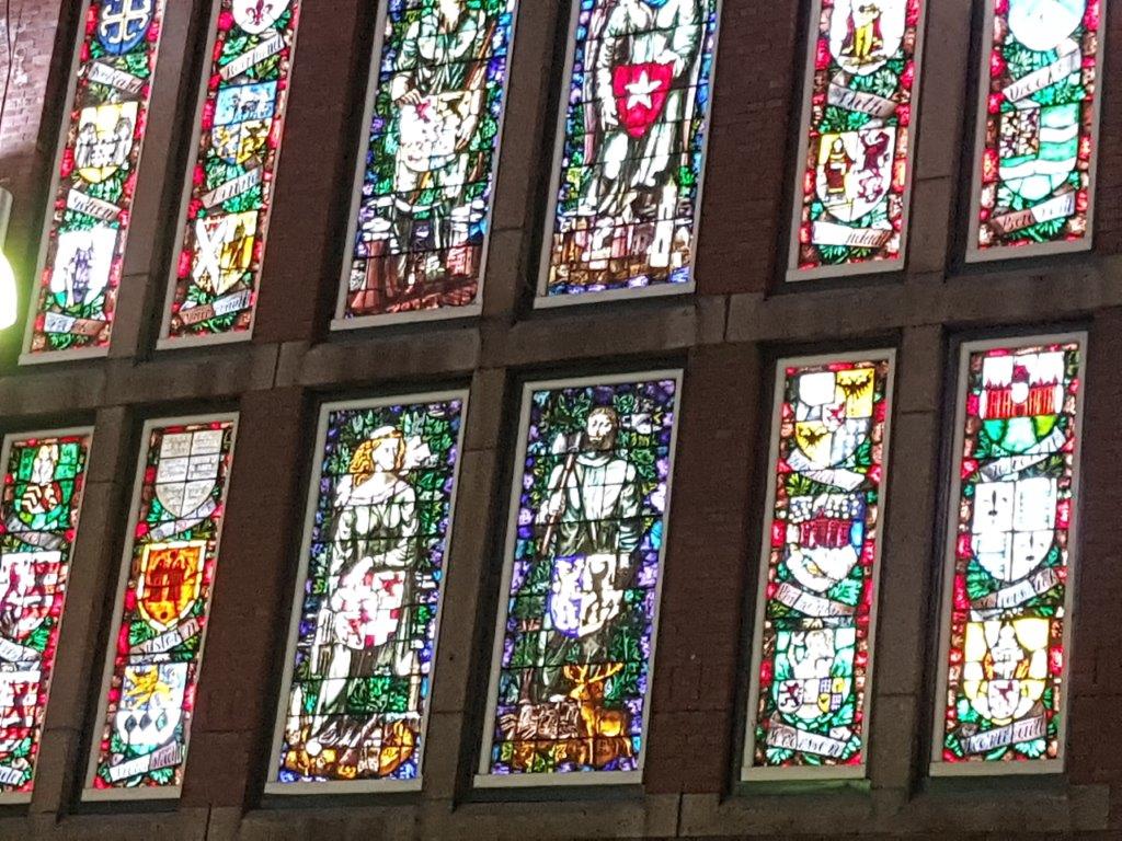
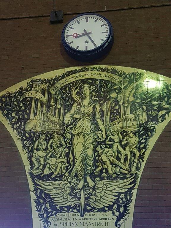
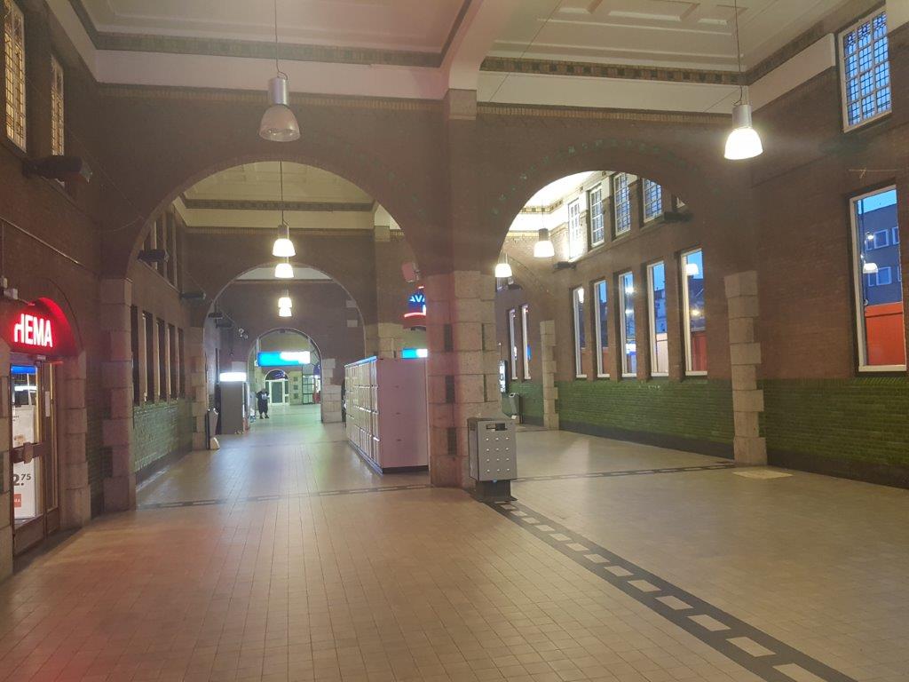
Maastricht Centraal Railway Station
Maastricht railway station is located in Maastricht in Limburg, Netherlands. It is the main railway station in Limburg’s capital city. It is the southern terminus of the Alkmaar–Maastricht intercity service by NS. Additionally, Arriva and the Belgian NMBS serve the station with local trains.
History
The station opened on 23 October 1853 together with the Maastricht–Aachen railway. In 1856, a railway connection to Hasselt was opened. Both lines are now (partially) closed. In 1861, the Liège-Maastricht railway connection was opened. It was not before the opening of the Maastricht–Venlo railway in 1865, that Maastricht was connected to the rest of the Netherlands.
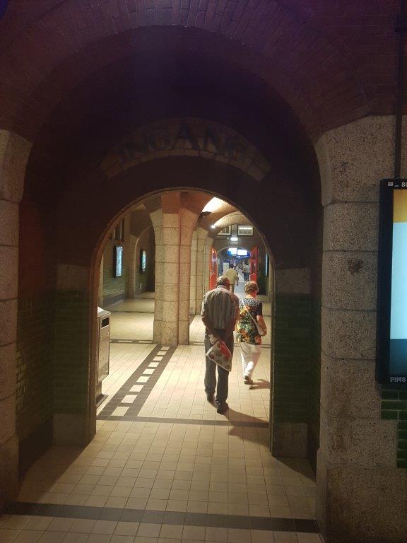
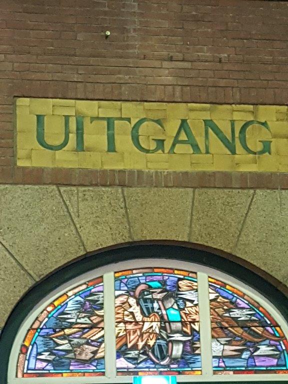
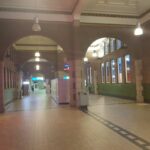
Due to the fortified character of the town, the first railway station was in fact situated outside of Maastricht, within the municipality of Meerssen. The first station was built out of wood, so that in case of enemy attack, the station could quickly be demolished. The municipality borders were adjusted in 1907, thus making the station part of the municipality of Maastricht. The current, brick building was built in 1913, designed by George Willem van Heukelom. Due to the station’s international connections, the station housed border customs. Even though trains from Belgium still call at Maastricht, passport and security checks have gone with the implementation of the Schengen Agreement. The former customs space is now used for small shops, such as a flower boutique, Albert Heijn, HEMA and some snack stores.
Plans
There are plans to reopen the line to Hasselt as a tramway. Twice an hour, a tram should run from Maastricht station through the center to the nearby town of Lanaken, and further as a light rail train to Bilzen and Hasselt. The line was planned to open in 2018 but was first of all curtailed to the town centre because the bridge was too weak, and is currently scheduled to open in 2024.
City Walk Map 1:
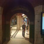
![]() Standing in front of the main entrance of Maastricht Central Railway Station, with your back towards the entrance, go straight forward and cross the Spoorweglaan and continue walking on the left side of a pedestrian tunnel. You’re walking on the Stationstraat and have entered:
Standing in front of the main entrance of Maastricht Central Railway Station, with your back towards the entrance, go straight forward and cross the Spoorweglaan and continue walking on the left side of a pedestrian tunnel. You’re walking on the Stationstraat and have entered:
Wyck (Wiek) 1
Wyck (Limburgish: Wiek is a neighbourhood in Maastricht, Netherlands comprising the eastern bank of the river Meuse (Dutch: Maas) in the city’s historic centre.
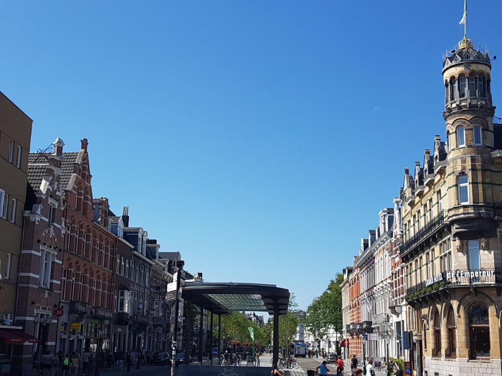
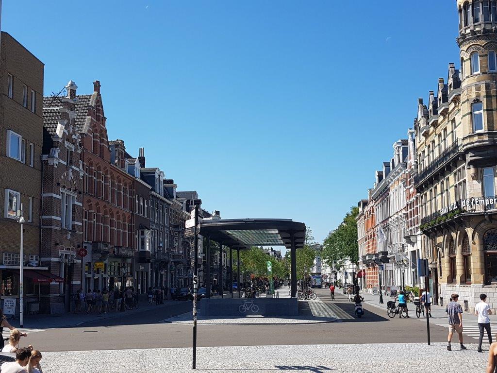
On your right beyond the pedestrian tunnel entrance is the Grand Hotel de l’Empereur.
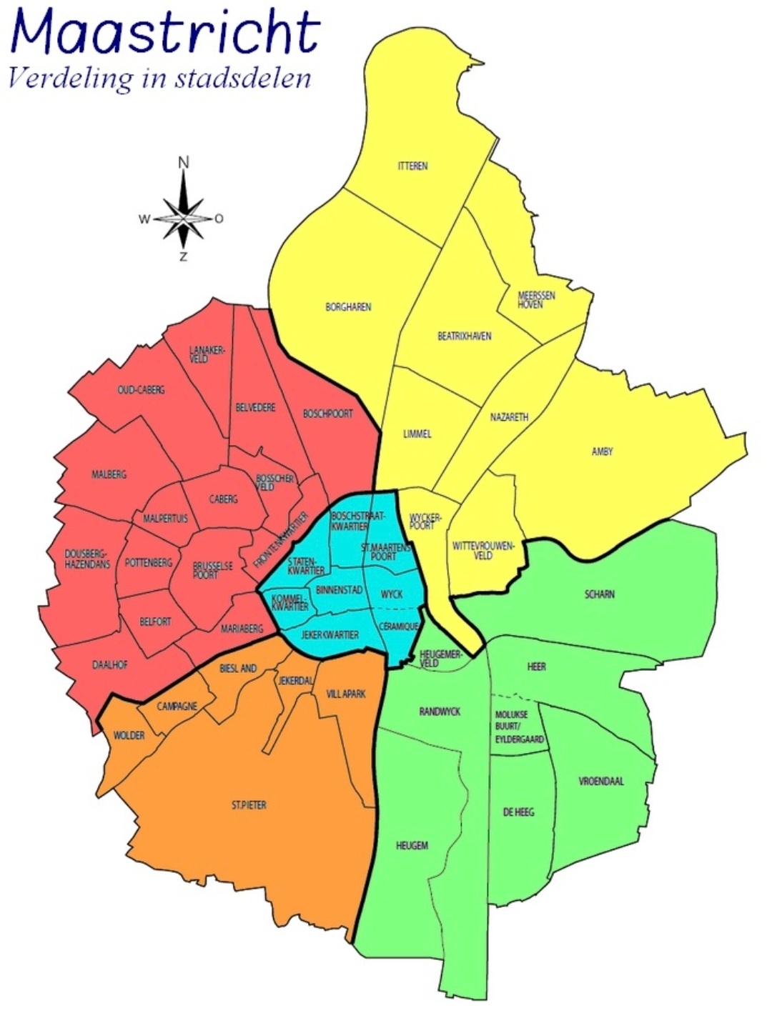
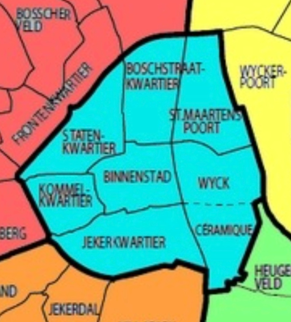
Downtown Maastricht is divided into several neighbourhoods of which some have the name Quarter (dutch: kwartier) in them (like the Parisian Quartier Latin).
The neighbourhood Wyck consists of three distinct parts of which we are now visiting the 2nd one, the Stationsbuurt:
- Oud-Wyck (“Old Wyck”), comprising the oldest built-up area, until 1867 surrounded by Maastricht’s Medieval city wall.
- Stationsbuurt (“Station Neighbourhood”), the area west of the railway and Maastricht railway station, predominantly dating from the 19th century.
- Céramique, on the former factory grounds of Société Céramique south of Old Wyck, redeveloped during the 1990s/2000s. The area consists mostly of new-built apartment blocks, designed by international architects, and some restored factory buildings. The Bonnefantenmuseum, designed by Aldo Rossi, is a major landmark along the Meuse river. Though sometimes seen as a neighbourhood in itself, Céramique is officially part of Wyck.
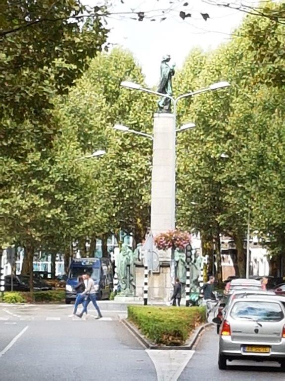
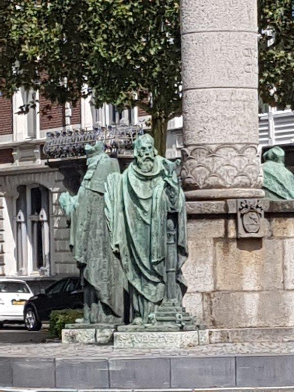
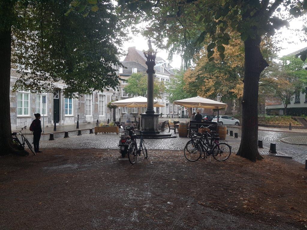
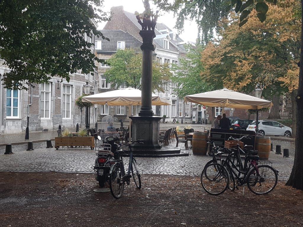
![]() Neglect the Alexander Battalaan and walk on until you reach a group of statues around one statue on top of a pillar …
Neglect the Alexander Battalaan and walk on until you reach a group of statues around one statue on top of a pillar …
![]() Turn left at the Wilhelminalaan…
Turn left at the Wilhelminalaan…
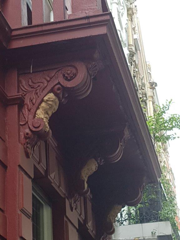
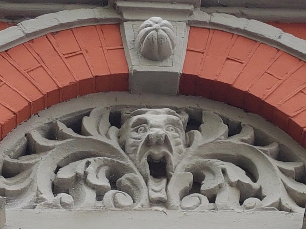
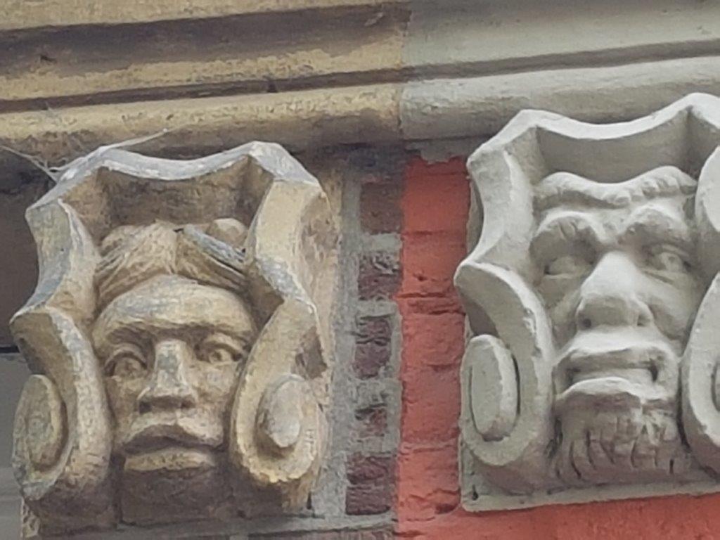
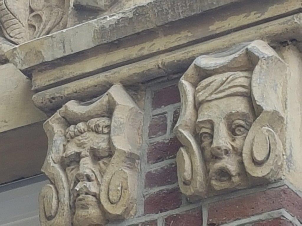
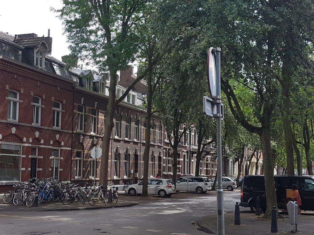
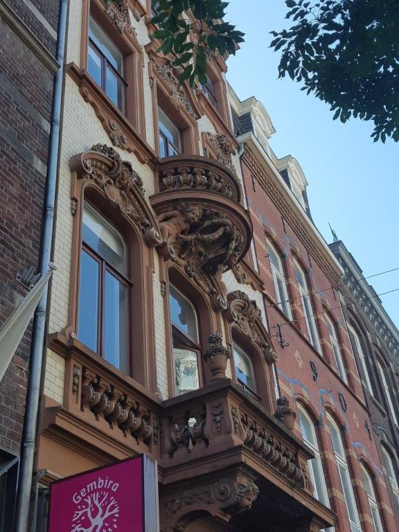
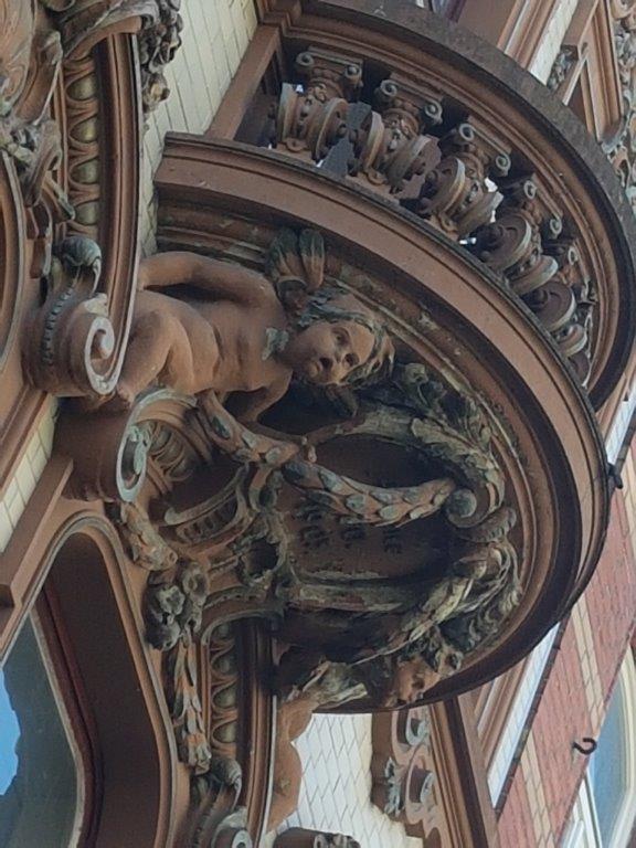
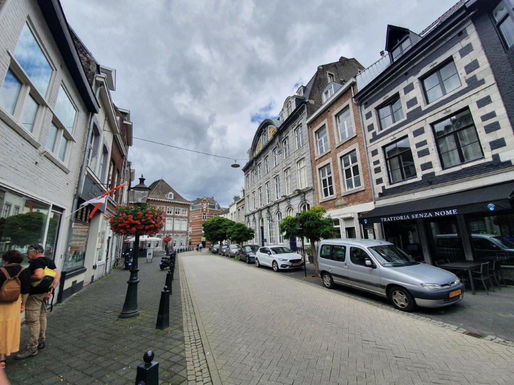
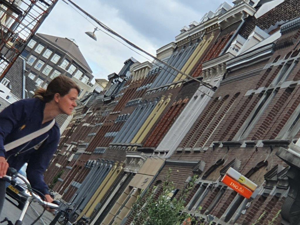
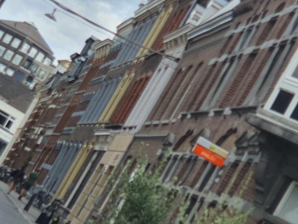
Beautifully decorated 19th century buildings can be found in the Stationstraat, Wilhelminalaan.
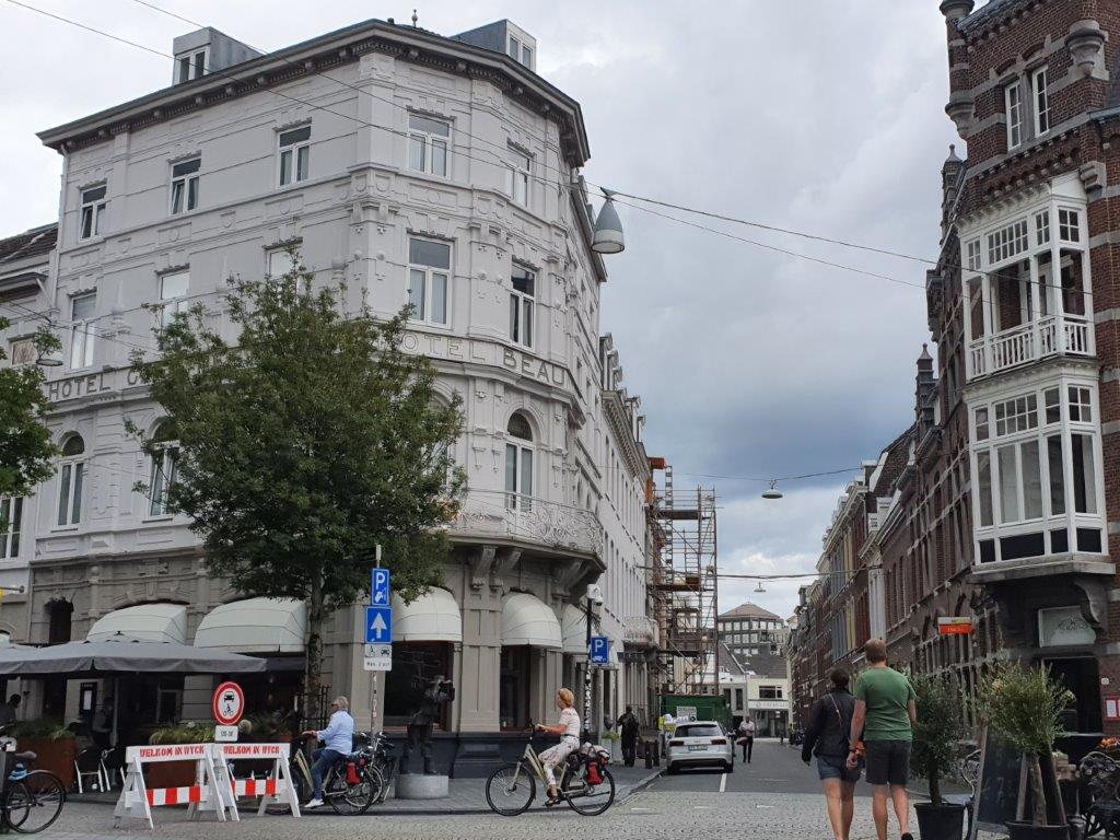
The building above and below with lots of detailed decorations can be found in the Wilhelminastraat.
![]() …and subsequently turn right into the Bourgognestraat.
…and subsequently turn right into the Bourgognestraat.
![]() Turn right into the Lage Barakken.
Turn right into the Lage Barakken.
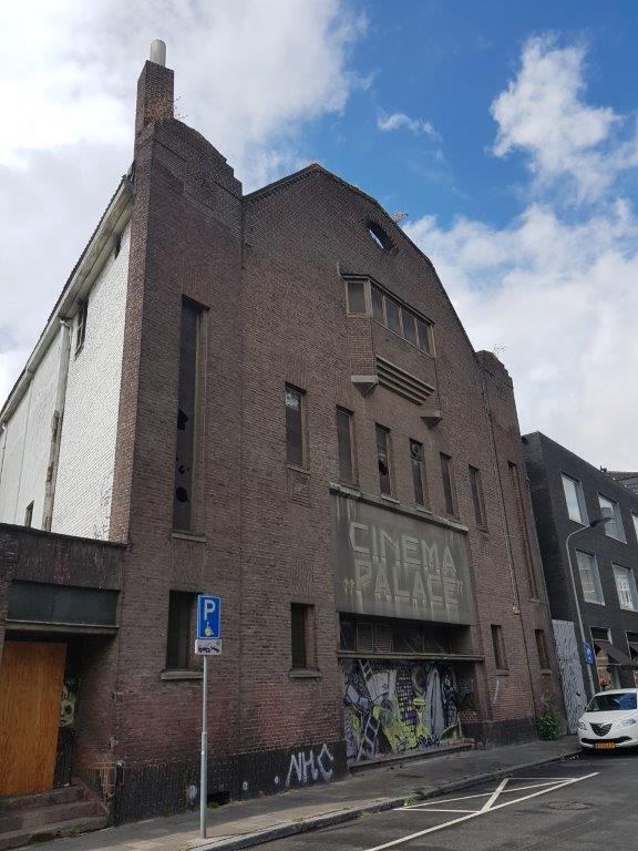
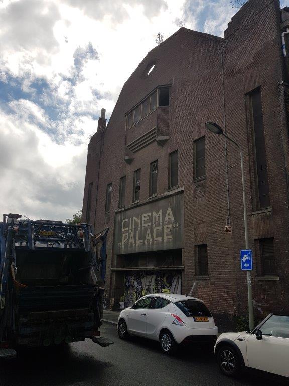
Watch the left side of the road and lookout for an old cinema building (Cinema Palace). The Cinema Palace, also Palace (French pronunciation), was a cinema that existed between 1927 and 2005, located at Lage Baraks and Wycker Brugstraat in Maastricht.
The Cinema Palace stretched from the Lage Baraks 12 building to the corner with Wycker Brugstraat (no. 1). The cinema complex was built in 1926 in the Art Deco style that was fashionable at the time. It is not known for certain who the architects were; an original building plan contains the stamp of the brothers J. and M. Fassotte from Liège, but the architects A. Deussen and B. Reggers are also mentioned. It may have been a collaboration between different parties. The two main remaining parts of the building have been nominated as municipal monuments, but in 2021 have the status of: “undetermined municipal monument”. This uncertain status may be related to the equally uncertain future plans for the Palace site.
There’s a beautifully designed fence next to the cinema building.
And there’s some funny graffiti art to admire too…
![]()
Turn left into the Wycker Brugstraat and slowly stroll toward its end.
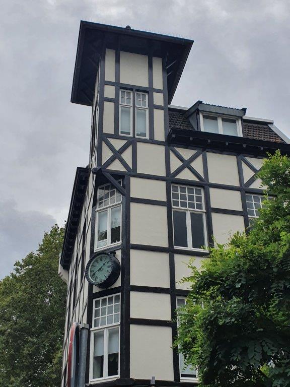
Immediately opposite of the crossroad on the right corner of the continuation of Lage Barakken and the end of Stationstraat, is another beautifully decorated building…
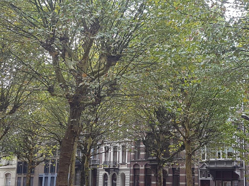
In the center of this allee (Stationstraat) is an area with trees and benches, some café and restaurant terraces and a flower stall. A beautiful old clock is in front of the flower stall…
You’ve entered Oud Wyck (Old Wyck) which used to be surrounded by the Maastricht city walls and has some older buildings then the Stationsbuurt.
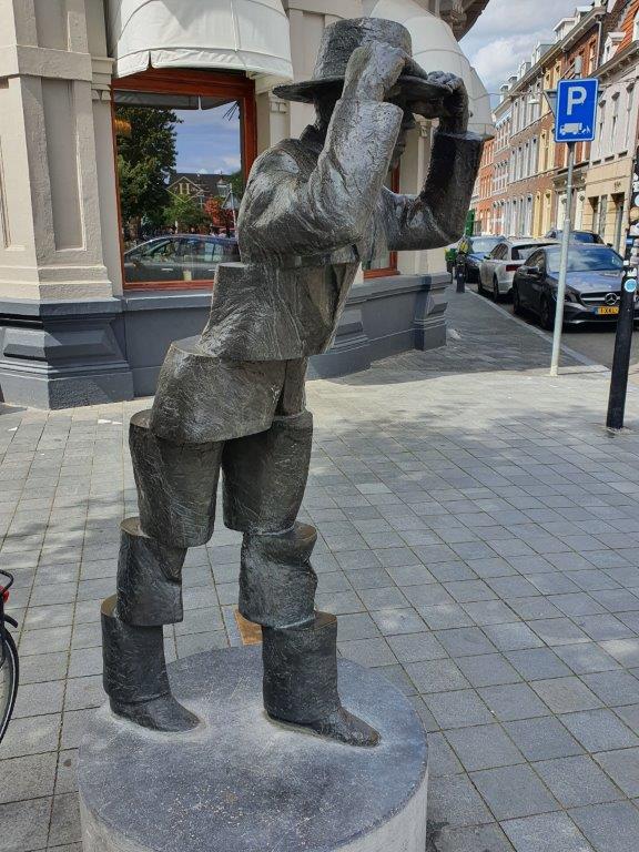
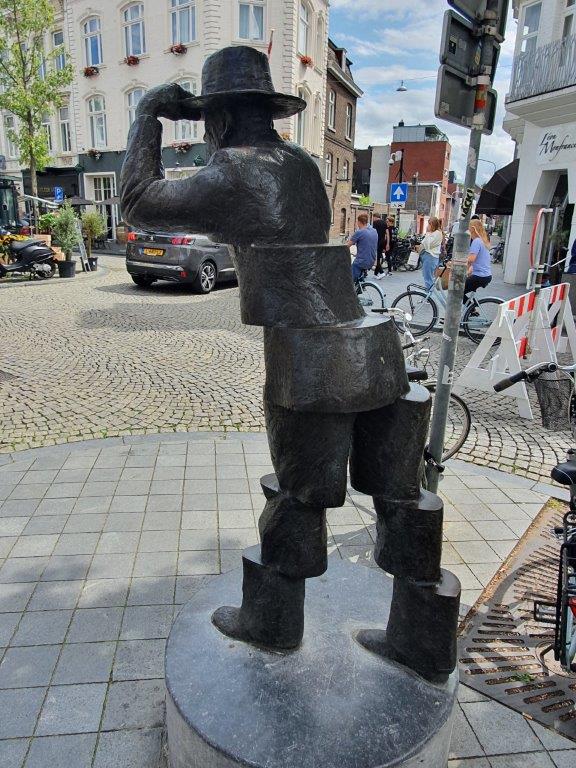
You can spot this statue of the Wiekeneer (an inhabitant of Wyck) on the opposite left street corner…
I love this statue because I saw it several times on crowded windy autumn days and the statue merges into the crowd because lots of people hurrying by to their destinations take on the same posture. I also love how the statue seems to be blown apart by the wind.
I’m going in the description a bit quicker through this area of Wyck now because we’ll revisit it towards the end of the city walk.
![]()
After reaching the Sint Servaasbrug (bridge), turn left into the Oeverwal.
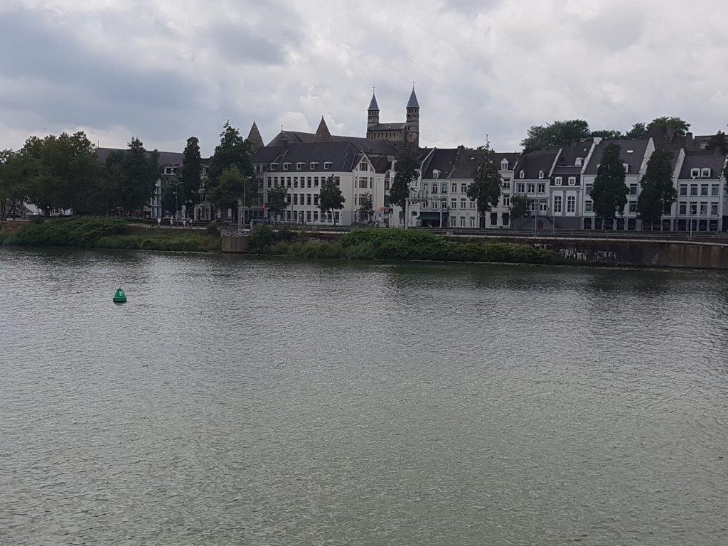
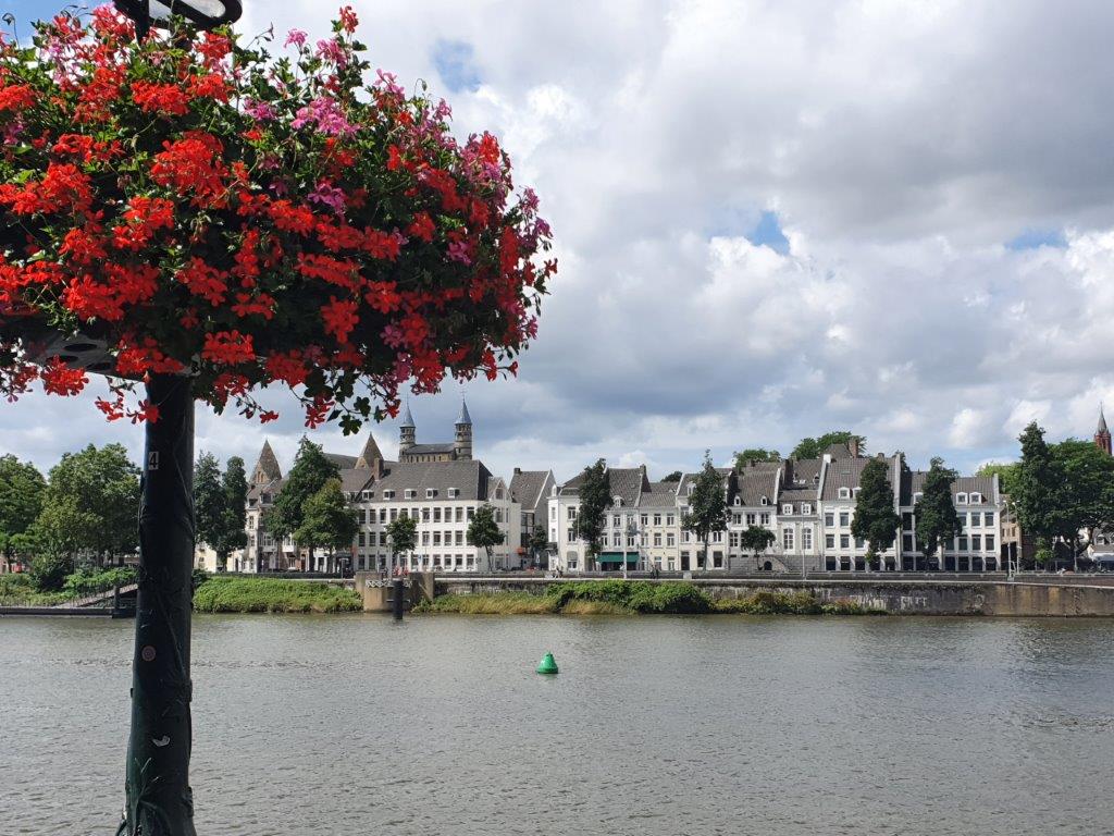
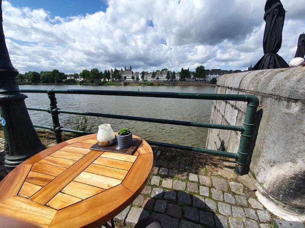
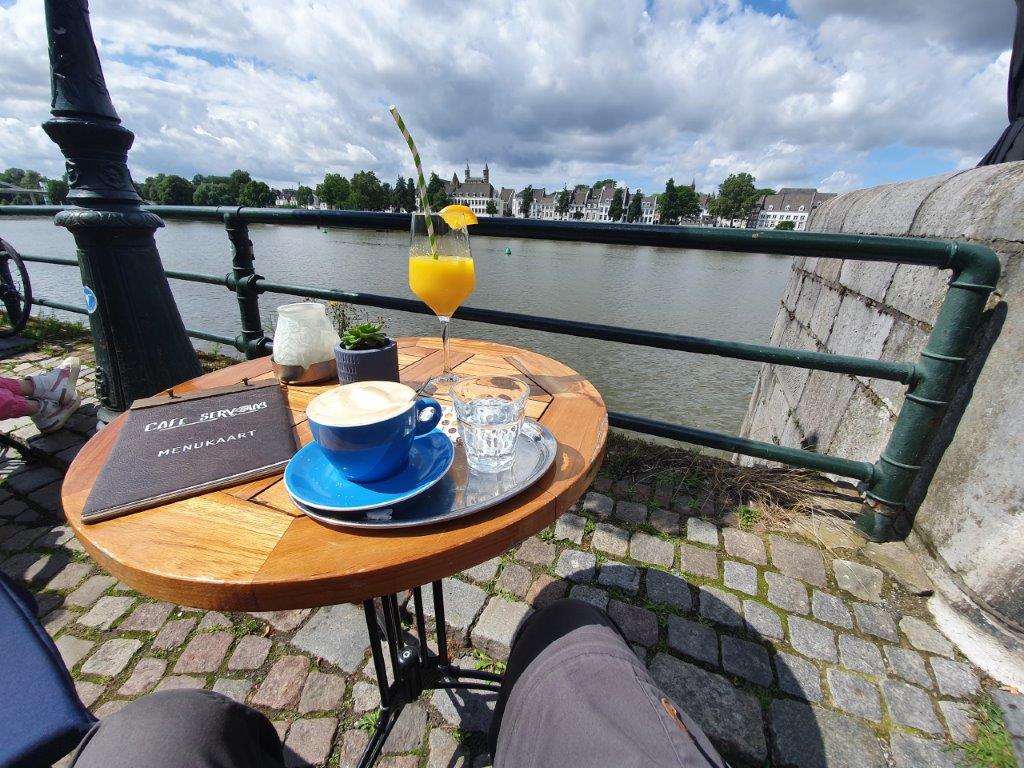
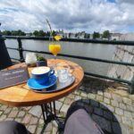
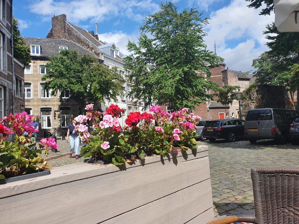
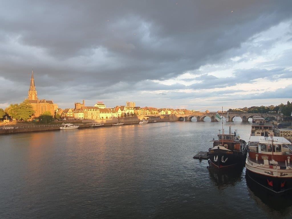
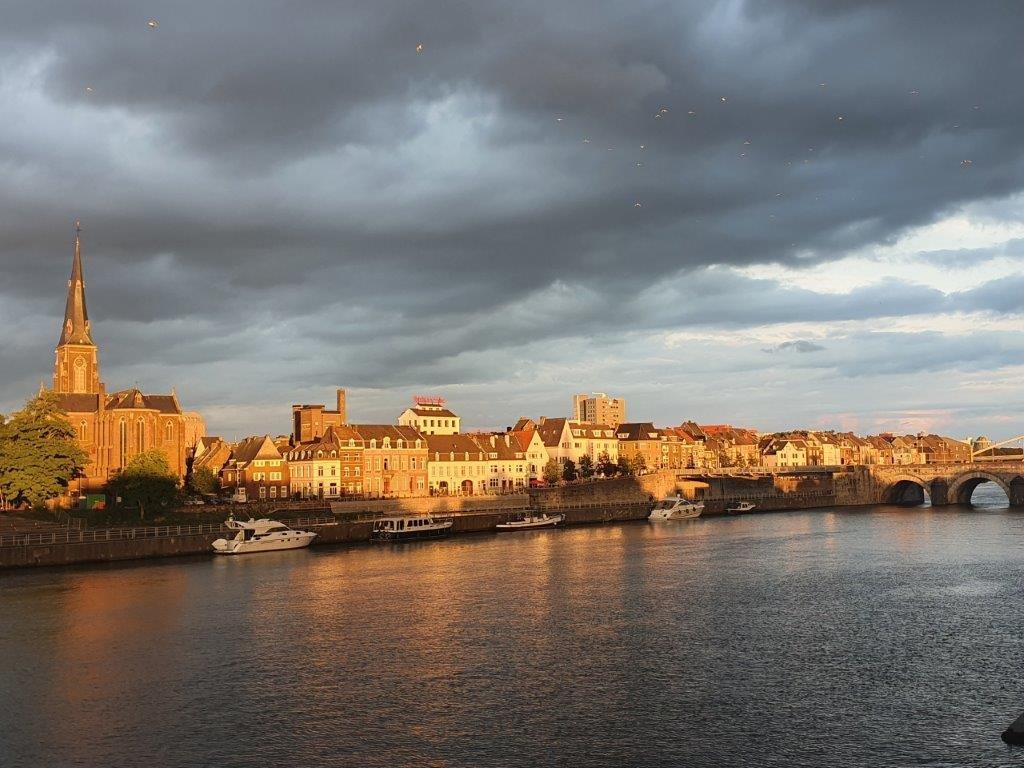
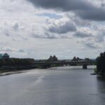
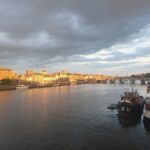
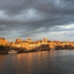
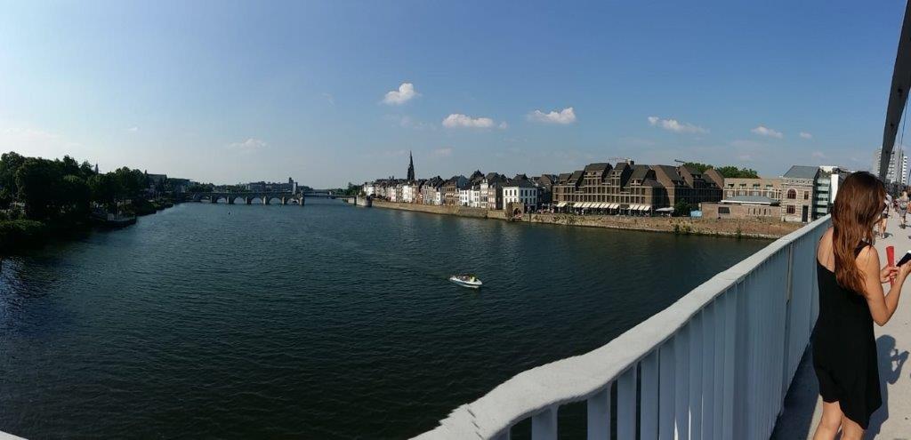
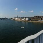
There are many restaurant and café outdoor terraces on the bank of the river which all offer great views upon the medieval town of Maastricht…
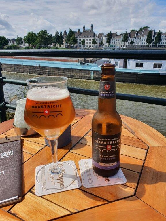
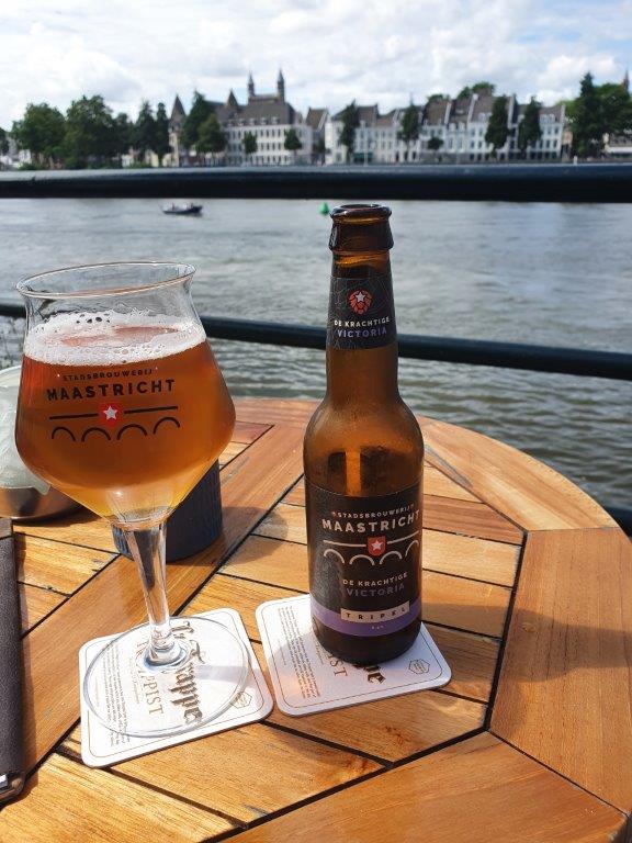
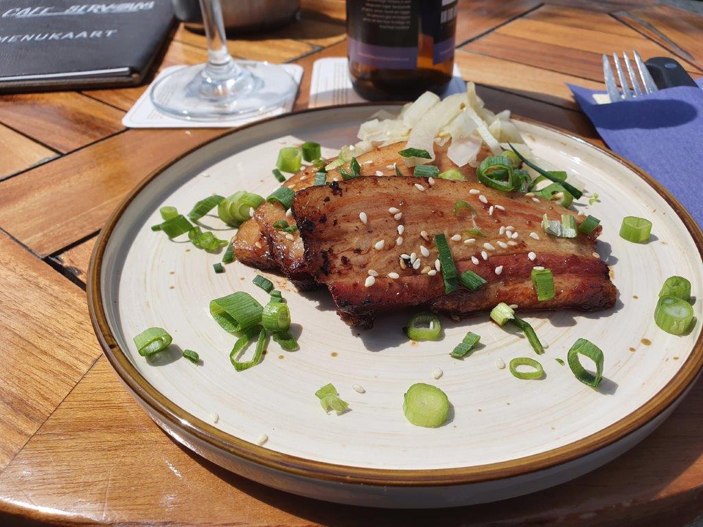
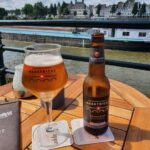
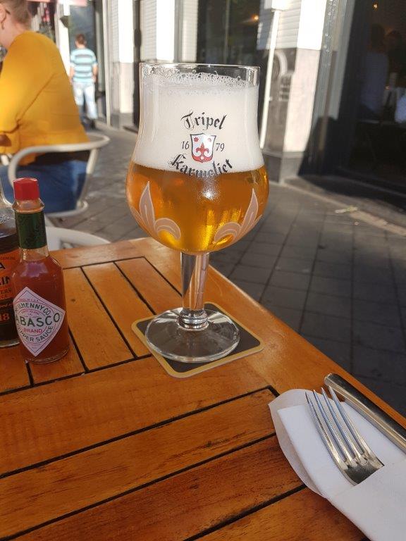
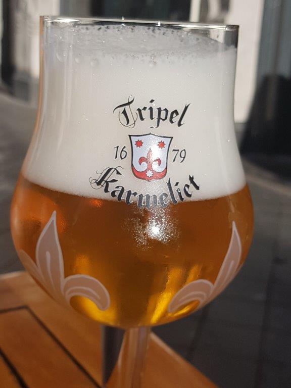
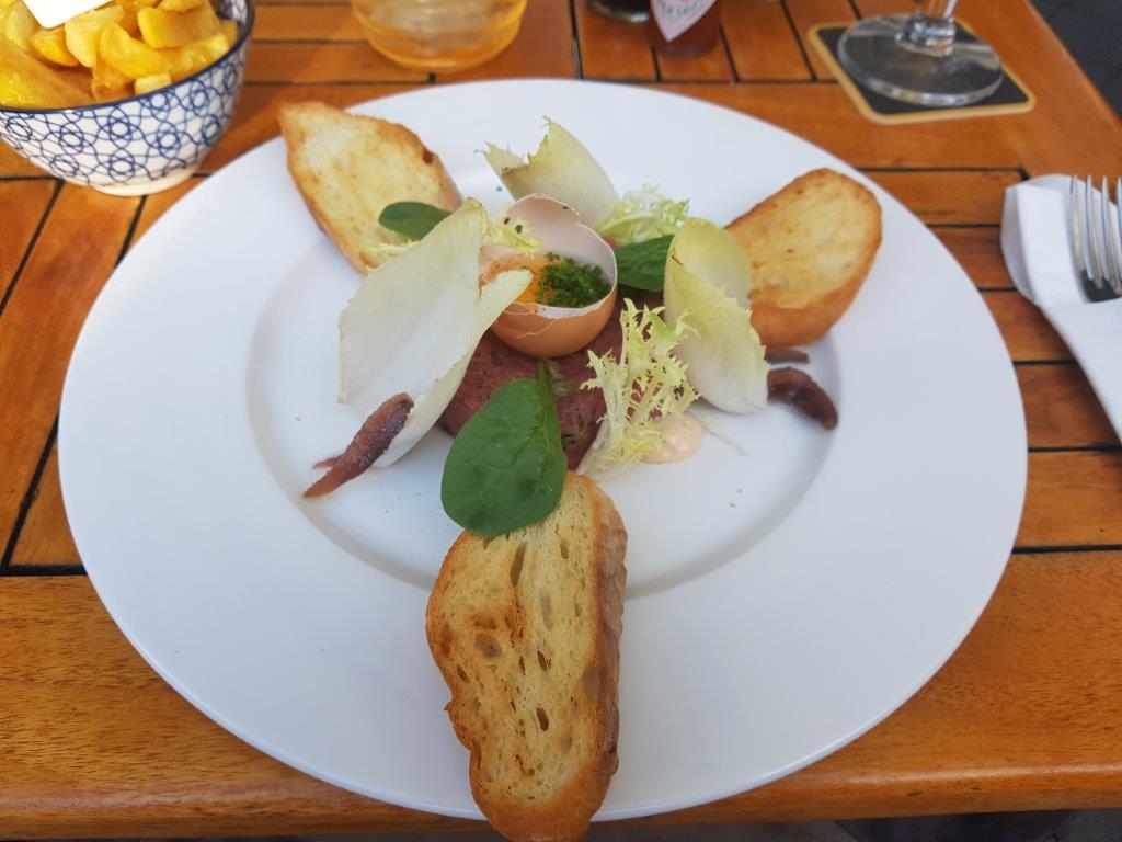
At many of the terraces they sell local beers too and the food is almost always delicious of high culinary standard often with Belgian and French cuisine influences…
Follow the Oeverwal until you reach the next bridge crossing the river Maas (Meuse).
Brouwerij De Ridder / Stadsbrouwerij Maastricht
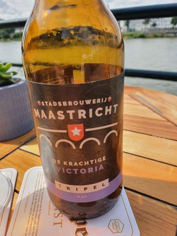
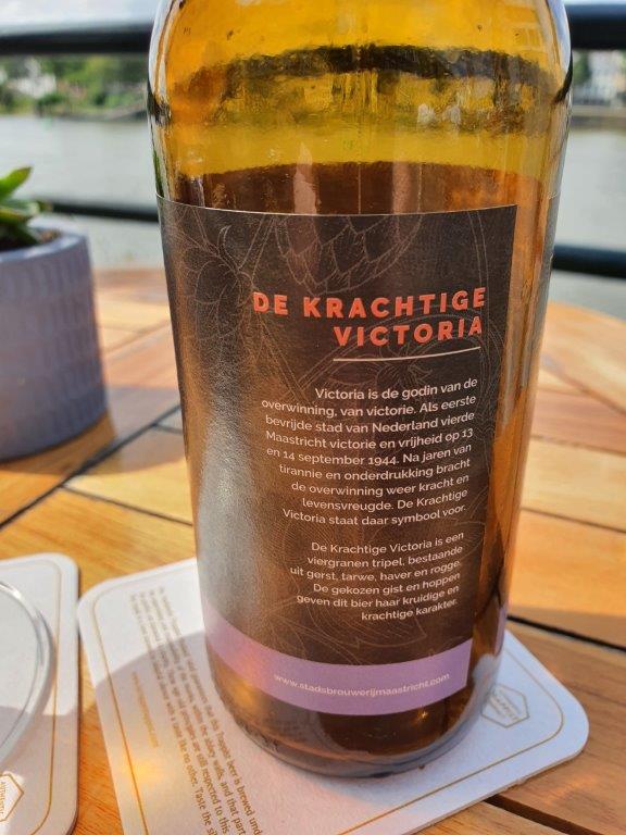
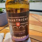
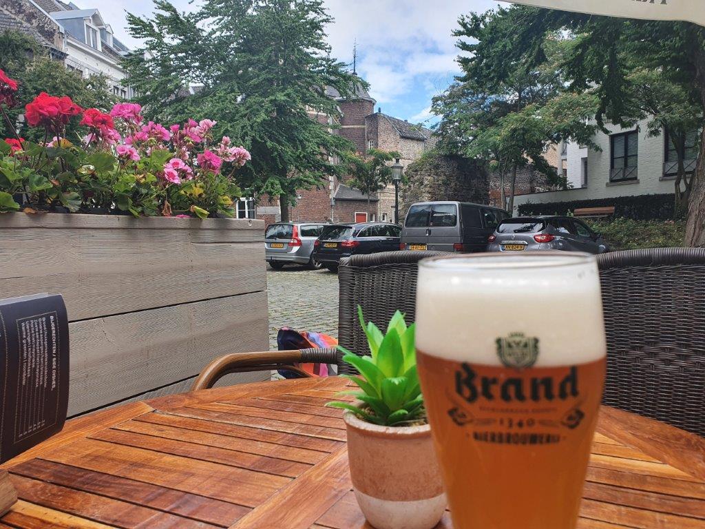
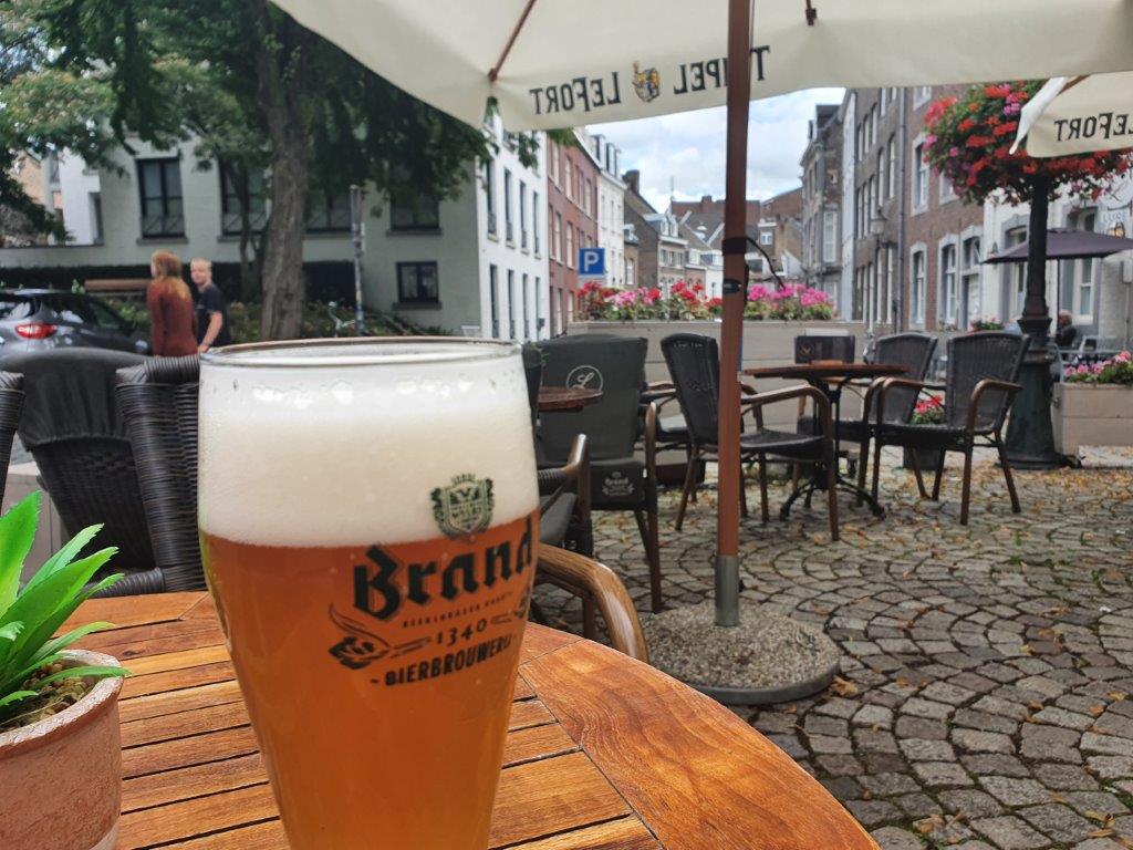
Somewhere on your right hand is a local Maastricht brewery (Stadsbrouwerij Maastricht) where the beer I had just been drinking on the restaurant terrace was brewn…
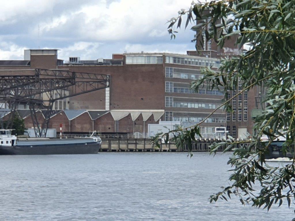
Brewery De Ridder, later Stadsbrouwerij De Ridder, is a former brewery in the Dutch city of Maastricht. The brewery is located on the Oeverwal, directly on the Maas, in the eastern district of Wyck. The brewhouse has been a national monument since 1997. De Ridder was an independent family business until 1982 and remained in production until 2002. In part of the complex, a brewery has been established again from 2018 under the name Stadsbrouwerij Maastricht.
For decades, the pilsner Ridder Pils and a number of specialty beers were brewed in the brewery. In 1982 the Van Aubel family sold the brewery to beer giant Heineken. From 1988, Heineken brewed the successful wheat beer Wieckse Witte. In the mid-1990s, when the brewhouse was designated a national monument, De Ridder was the last working Dutch brewery in the center of a large city. The takeover of the brewery by Heineken, and in particular the success of the wheat beer, led to production being transferred to other locations in 2002 and the brewery in Maastricht becoming vacant.
In some of the buildings a new microbrewery is located: Stadsbrouwerij Maastricht. The microbrewery, funded by crowdfunding, was launched in June 2018. The microbrewery with tasting room and beer shop is part of a hospitality training center.
In the history of the De Ridder brewery, the following beers were brewed:
- Ridder Pils/Pilsener
- Ridder Old Brown (later: Donker Bier)
- Ridder Bock beer
- Ridder Meibier (a light-colored bock beer; only available in spring)
- Ridder Maltese (a Dortmunder)
- Vos (a top-fermented beer)
- Wieckse Witte (a wheat beer)
The Wieckse Witte is of course the name bearer of the city quarter where the brewery was located: Wyck or in local dialect: Wiek/Wieck.
![]() When you reach the Sint Maartenstraat to the right, keep left and follow the river keeping an eleborately decorated stone urinoir to your right. Walk towards the Wilhelmina Bridge and climb the stairs and stay on this side of the bridge (do not go underneath the bridge).
When you reach the Sint Maartenstraat to the right, keep left and follow the river keeping an eleborately decorated stone urinoir to your right. Walk towards the Wilhelmina Bridge and climb the stairs and stay on this side of the bridge (do not go underneath the bridge).
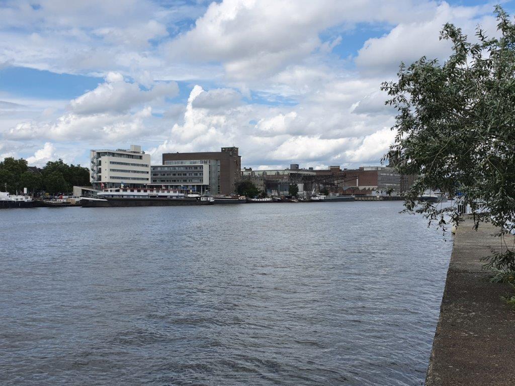
![]() On top of the stairs go left and walk until the first view point. Descend the stairs and walk on top of a long quay wall, with left and right the river water, connecting the Wilhelmina Bridge with the Sint Servaas Bridge.
On top of the stairs go left and walk until the first view point. Descend the stairs and walk on top of a long quay wall, with left and right the river water, connecting the Wilhelmina Bridge with the Sint Servaas Bridge.
Sint-Servaasbrug (Saint Servatius Bridge)
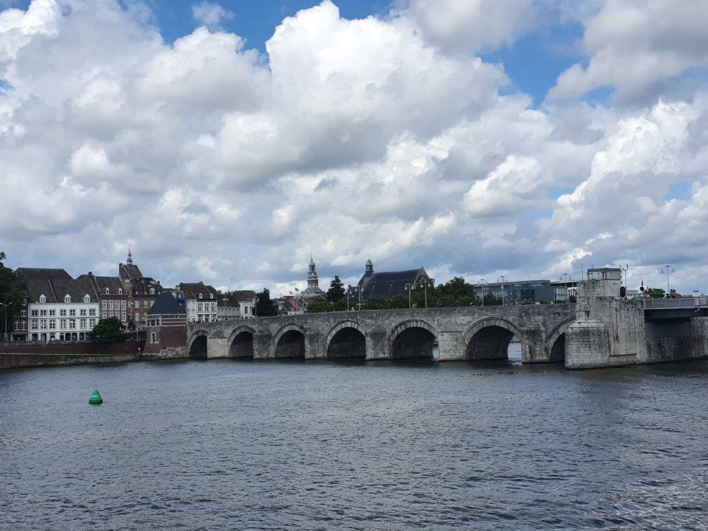
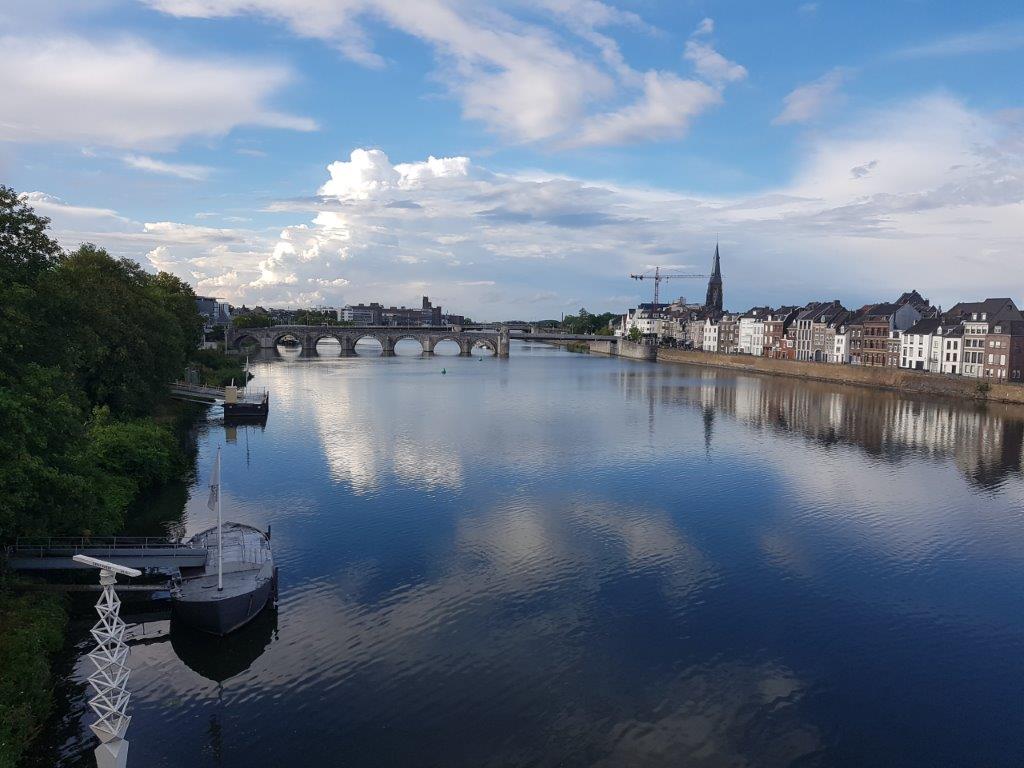
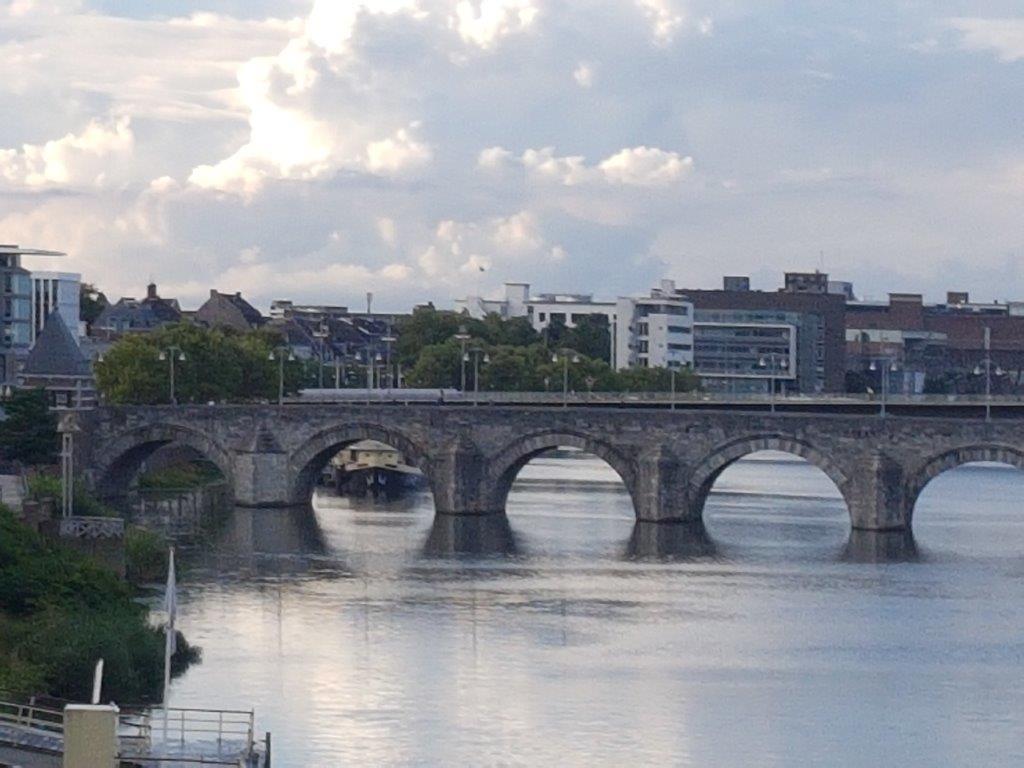
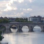
Sint Servaasbrug (or the St. Servatius Bridge) is an arched stone footbridge across the river Meuse in Maastricht, Netherlands. It is named after Saint Servatius, the first bishop of Maastricht, and (despite being largely rebuilt after World War II) it has been called the oldest bridge in the Netherlands.
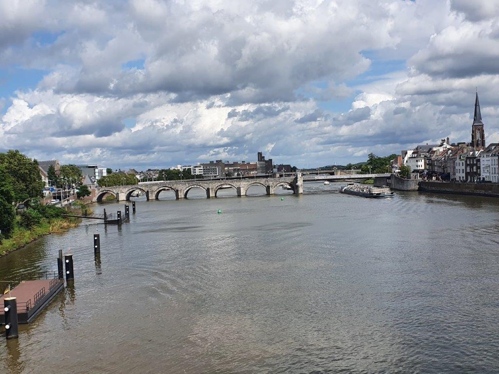
The views from the quay wall, which is used by several boats to lay anchor, towards the Sint Servaas Bridge are excellent.The Sint Servaasbrug connects pedestrian traffic from the Binnenstad district of Maastricht on the west bank of the Meuse (the most central part of the city) to the Wyck district on the east bank.
The bridge is made of limestone, and in its current configuration it is 160 metres (525 ft) long and 9 metres (30 ft) wide. Its seven arches each span approximately 12 metres (39 ft), and are supported by seven piers. A separate steel drawbridge with a span of 54.5 metres (178 ft 10 in) connects the east end of the bridge to the east bank of the river.
The Romans built a wooden bridge across the Meuse in what is now Maastricht, in approximately AD 50, and the Latin phrase for “crossing of the Meuse”, “mosae trajectum”, became the name of the city. For many years this remained the only crossing of the lower Meuse. However, the Roman bridge collapsed in the year 1275 from the weight of a large procession, killing 400 people. Its replacement, the present bridge, was built somewhat to the north of the older crossing between 1280 and 1298; The Roman Catholic Church encouraged its construction by providing indulgences to people who helped build it. The bridge was named in honor of Saint Servatius around this time.
 The bridge was renovated in 1680, and in 1825 a wooden strutwork section on the east side of the bridge was replaced by a stone arch. In 1850, as part of the construction of the Maastricht-Liège Canal, a channel was cut on the west side of the bridge.
In the early 1930s the construction of the Wilhelmina Bridge, 300 metres (1,000 ft) downstream relieved the bridge of its function as the city’s only river crossing. Thereafter major renovation was performed. The arches were reconstructed in concrete, covered with the original stones. Underwater, counter-arches were constructed to prevent erosion of the river bed on which the bridge was built. Two arches on the eastern end of the bridge were removed and replaced by a vertical-lift bridge. Between the two bridges, on the eastern side of the river, a levee was built to separate the navigable eastern channel from the rest of the river.
During World War II the bridge was severely damaged by the German army as they retreated from the city in 1944, and it was rebuilt in 1948. In 1962, the shipping channel to the east of the bridge was spanned by a steel drawbridge attached to the main bridge.
Statenkwartier/States Quarter
![]() Ascend the stairs onto the bridge and turn right. Now cross the river Meuse and walk straight ahead into Maastricht’s medieval town center and into the Maastrichter Brugstraat .
Ascend the stairs onto the bridge and turn right. Now cross the river Meuse and walk straight ahead into Maastricht’s medieval town center and into the Maastrichter Brugstraat .
City Walk Map 2:
![]()
Turn right at the end of the Maastrichter Brugstraat into the Kleine Staat and keep following this until you get to the Grote Staat on the left.
Pieke Dassen en het Dinghuis
To your right you’ll now see the building named the Dinghuis of the Maastricht Tourist information Visitor Center.
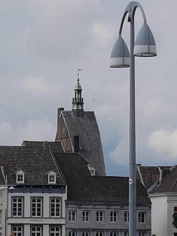
The Dinghuis is one of the highest buildings apart from churches which can be seen from the River Meuse front.
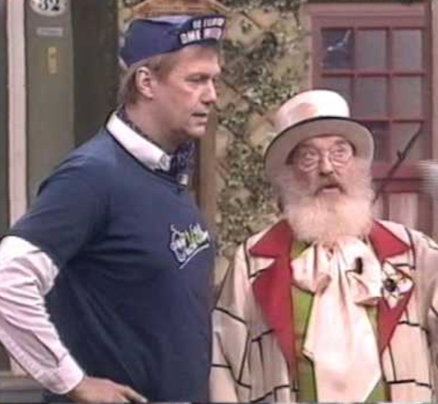
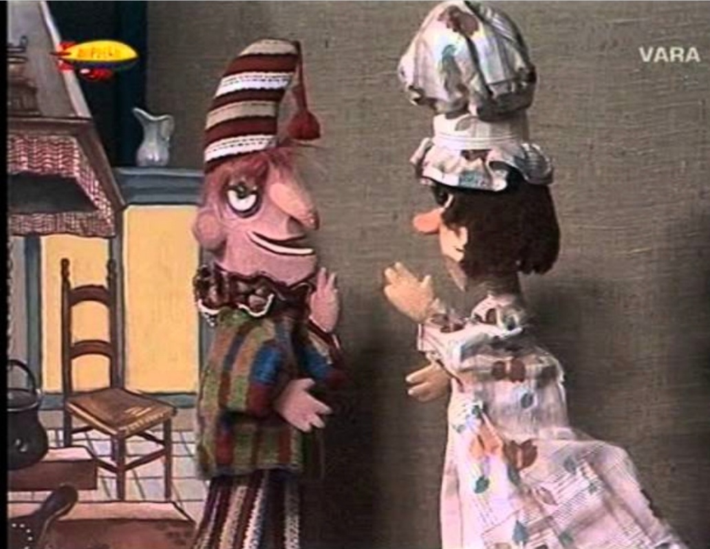
In the 1950s, the well-known Maastricht resident Pieke Dassen made his Poesjenellkelder in the Dinghuis a household name in the Maastricht theater world. Thousands of children enjoyed his puppet shows. But adults too, because Pieke Dassen liked to ridicule local politics every now and then. After almost twenty years, the authorities had enough of that puppet show and they closed the theater. Although there are also reports that the closure is due to a major restoration due to the ongoing subsidence of the Dinghuis.
Pieke Dassen however went on becoming a very famous dutch teevee personality in the 70’s in his role of August as the son of Ome Willem in De Film van Ome Willem, who also played the Jan Klaassen en Katrijn puppet play in every episode of this famous dutch television series for children.
![]() Keep going straight ahead into the Muntstraat, until you get to the:
Keep going straight ahead into the Muntstraat, until you get to the:
Markt (Market square)
In the center of the Market square, which is still being used that way, is the City Hall of Maastricht.
The Stadhuis is the town hall in the centre of Maastricht in the Netherlands. It is sited on the Markt. The building was designed by Pieter Post in the 17th century in the style of Dutch classicism.
Before the construction of the town hall on the Markt, the council of Maastricht met in two buildings on the then Sint-Jorisstraat (nowadays Grote Staat), called De Lanscroon and De Liebaerd. The cloth hall was also used by the city council. The municipal administration of justice took place in the nearby Dinghuis on the Kleine Staat.
In 1659 Post came to Maastricht to determine the best location for the new town hall. He chose the middle of the Market, against the wishes of the Liège administrators, who preferred a placement in a market wall. For Post’s plan, a few houses on the Markt, as well as the Cloth Hall, the Belfry and part of the first city wall, with the Leugenpoort and the Gevangenpoort, had to make way. The demolition created a more or less square market square, on which the new town hall could be built centrally. Because the Liège prince-bishop refused to cooperate in the expropriation of two houses, the town hall shifted slightly to the south-east corner, so that the ideal proportions that Post was aiming for could not be fully realised. The foundation stone was laid in 1659 by the high school chiefs Groulart and De La Montaigne.
After some delay, the municipal council was able to move into the new town hall in 1664.
The Mooswief statue
On the Market there is a gray stone statue of the Mooswief (or: greengrocer). The Mooswief is one of the most famous symbols of Maastricht. Charles Vos made this statue in 1954.
The Mooswief is also part of local folklore and is every year visited by Prince Carnival.

![]() Walk around the Markt and keep the buildings to your right.
Walk around the Markt and keep the buildings to your right.
Optional Industrial Heritage deviation from the city walk:
For this optional deviation which will expand this city walk, you need to know that it is advised to start the complete city walk early in the morning. Another option is to divide the city walk in multiple day sections which is possible with the included maps. The description of this deviation can be found at: Industrial Heritage Maastricht City Walk
If you do not add the deviation or if you finished the deviation than return beneath to the description of the main city walk.
![]()
Finish circling the Markt at the Spilstraat and enter the Spilstraat. Then turn right about halfway and enter a shopping mall area. At the 1st escalator, ascend to a small courtyard behind the Dominikanenkerk (Dominican Church) and then through a small gate onto the Dominikanenplein (Dominican Square)..
TIP: At the courtyard and the square is another good opportunity for e.g. a lunch. It is less crowded and less expensive then on the nearby Vrijthof Square and it’s a beautiful, little terrace surrounded by old historic buildings.
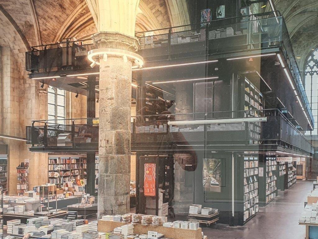
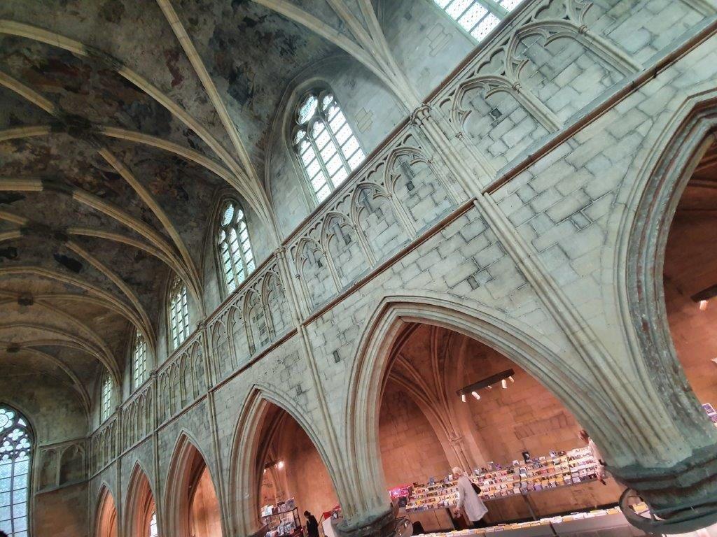
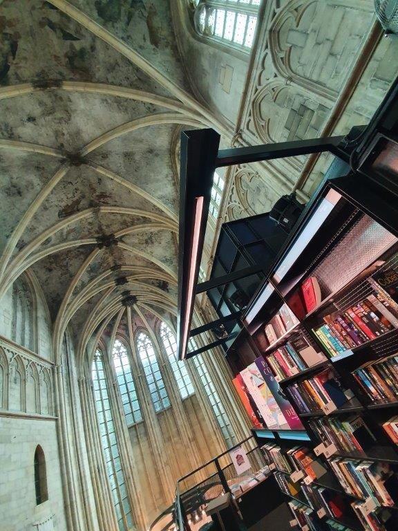
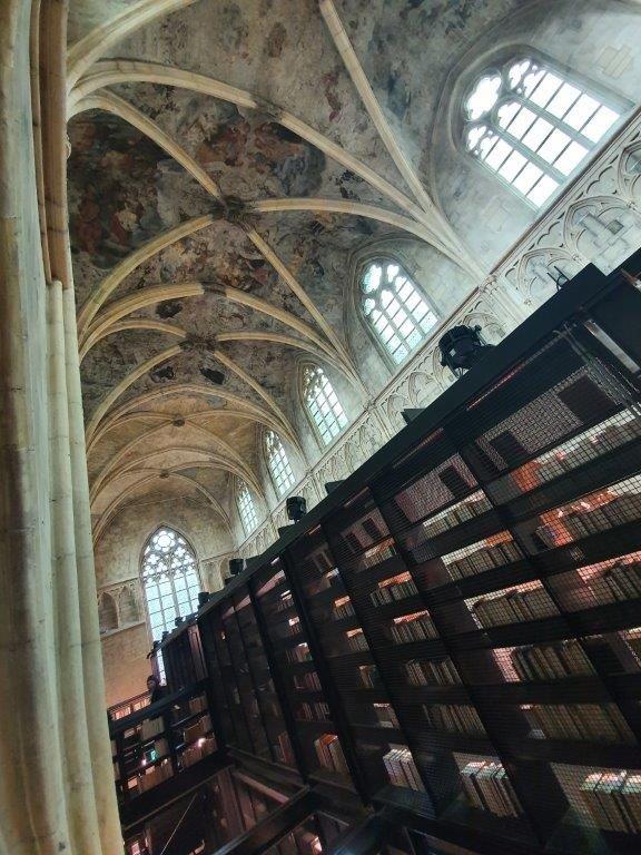
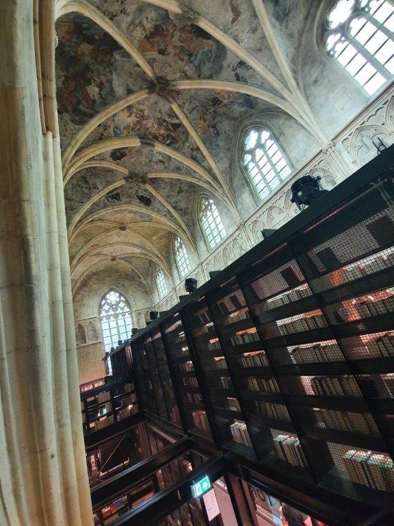
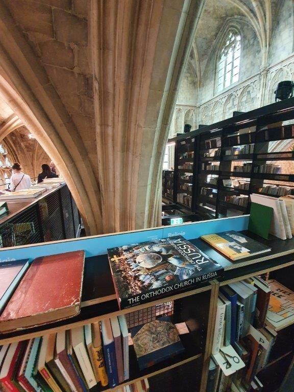
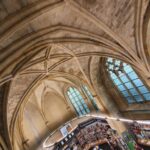
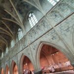
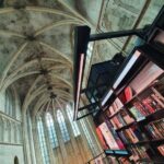
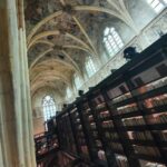
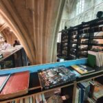
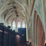
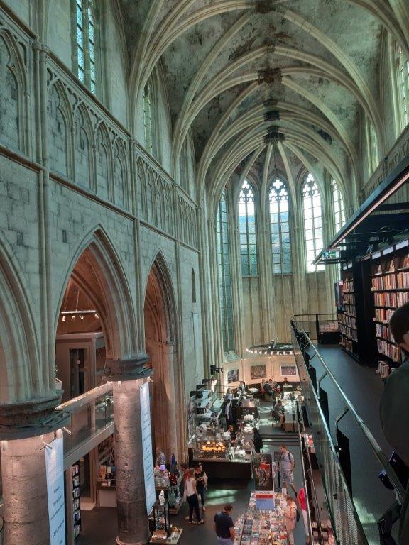
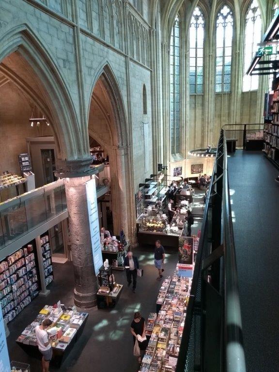
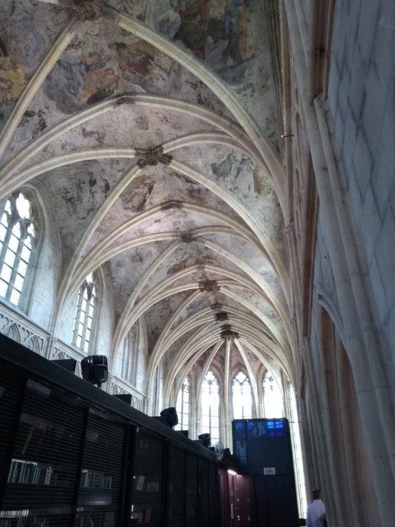
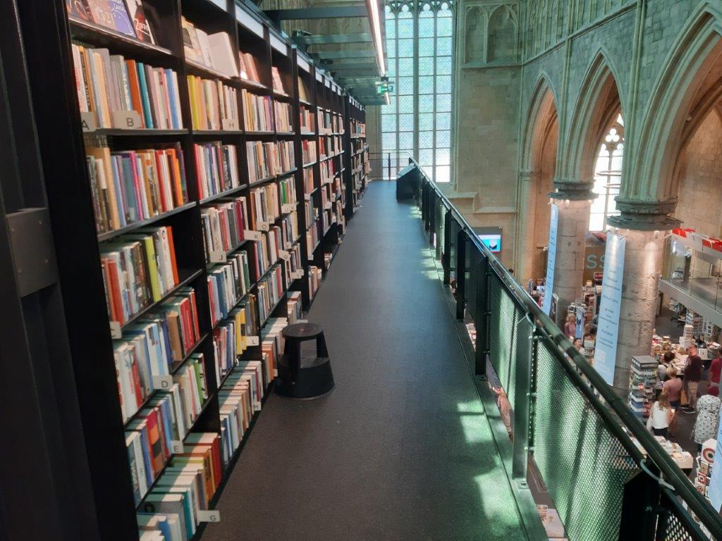
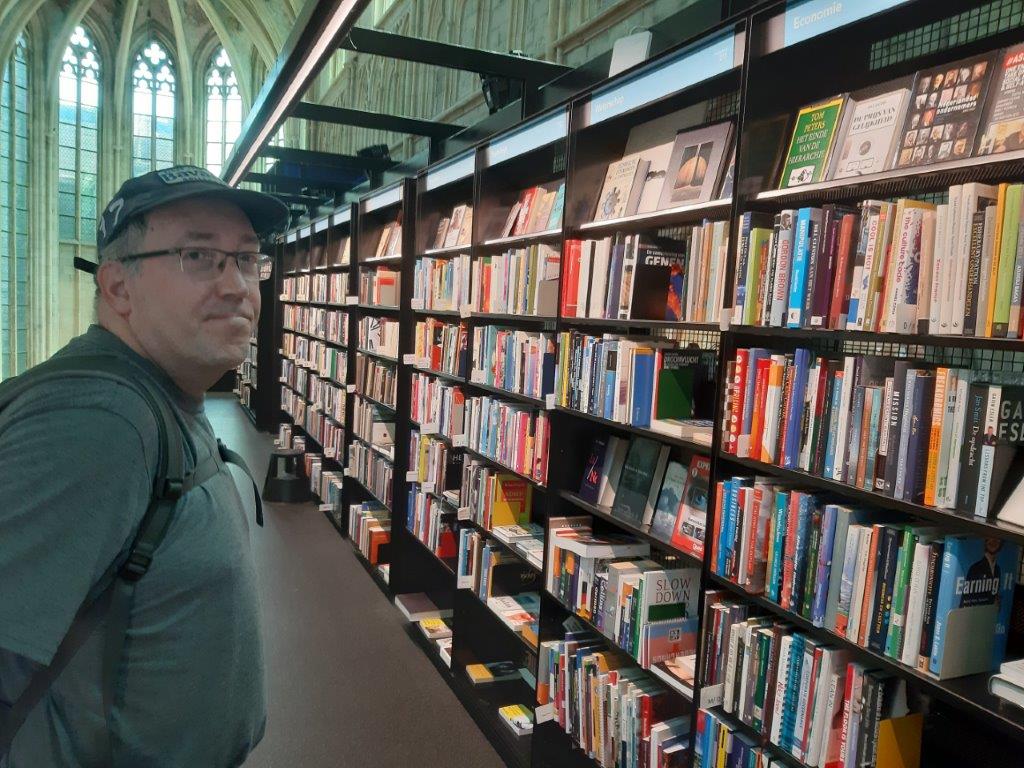
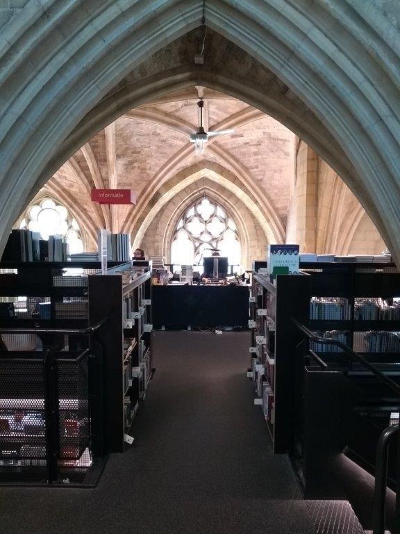
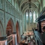
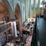
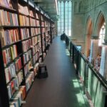
The Dominikanenkerk
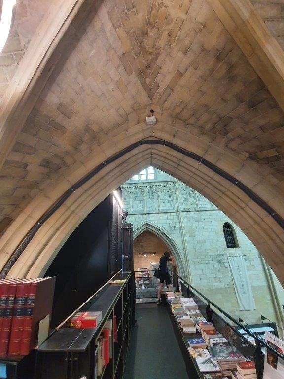
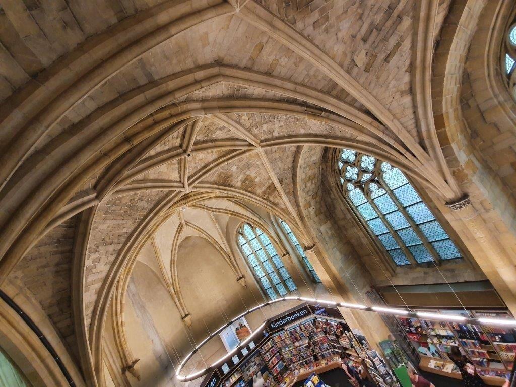
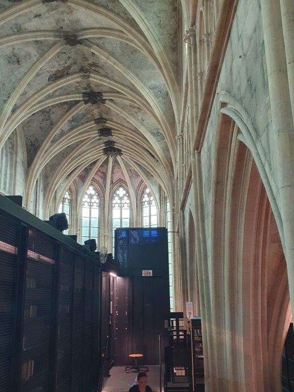
Absolutely worth a visit is the interior of the Dominicanenkerk…
In December 2006 a bookshop was established for the first time in the Dominican Church. Since then
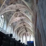
In the ceiling vaults of the church are ancient, but also badly damaged frescoes. The restorers of the Restoration Atelier Limburg Foundation (SRAL) therefore paid a lot of attention to the consolidation and restoration of the paintings, with every effort being made to preserve them for Maastricht. The ceiling paintings in the Dominican Church are of exceptional quality for this part of Europe. Most of the paintings are by Jan Vassens and were applied around 1619. In the church there is a wall painting (Secco) with a picture of Thomas Aquinas (1224-1274), painted in 1337.
This is not only the oldest ecclesiastical wall painting in the Netherlands, but also the oldest depiction of Saint Thomas Aquinas in Europe. It is also the oldest painting in which a realistic, three-dimensional space (perspective) is suggested using pictorial means. Not a single mural or panel painting of comparable style and refined quality has survived from this early period in the Low Countries!
![]() Standing with your back towards the main entrance of the Dominikanenkerk, go straight ahead and leave the Dominicanenplein towards the Helmstraat. Turn left into Helmstraat and walk straight onwards towards the Vrijthof.
Standing with your back towards the main entrance of the Dominikanenkerk, go straight ahead and leave the Dominicanenplein towards the Helmstraat. Turn left into Helmstraat and walk straight onwards towards the Vrijthof.
The Vrijthof
Vrijthof is a large urban square in the centre of Maastricht, Netherlands. The square developed from an ancient Roman and Frankish cemetery into a semi-private space that belonged to the Collegiate Church of Saint Servatius. In the 19th century it became the town’s main square. It is surrounded by important heritage buildings, museums, a theatre and a range of hotels, restaurants and bars. The square is regularly used for public events.
![]() Cross the road to the central square area and immediately turn right. Walk underneath the trees towards the other side of the square, then turn left and walk again towards the other side of the square.
Cross the road to the central square area and immediately turn right. Walk underneath the trees towards the other side of the square, then turn left and walk again towards the other side of the square.
You have now walked past some beautiful monuments.
Heritage buildings
There are 38 listed buildings (rijksmonumenten) in Vrijthof, including the Romanesque Basilica of Saint Servatius (Dutch: Sint-Servaasbasiliek), the Gothic Church of Saint John (Sint-Janskerk), the largely 16th-century ‘House of the Spanish Government’ (Spaans Gouvernement), the 18th-century Military Guard House (Hoofdwacht) and the early 19th-century ‘General’s House’ (Generaalshuis). Many houses date from the 18th or 19th century. Some of the larger houses in the square formerly belonged to canons of St Servatius. The modern bandstand dates from around 1970.
![]() Turn right into a narrow street named Het Vagevuur (the purgatory). Keep following The Vagevuur past a small square named Henric van Veldekeplein, until you reach its end
Turn right into a narrow street named Het Vagevuur (the purgatory). Keep following The Vagevuur past a small square named Henric van Veldekeplein, until you reach its end
From the Henric van Veldekeplein you have a beautiful view towards the two main monuments of the Vrijthof area:
Sint Servaas Basiliek
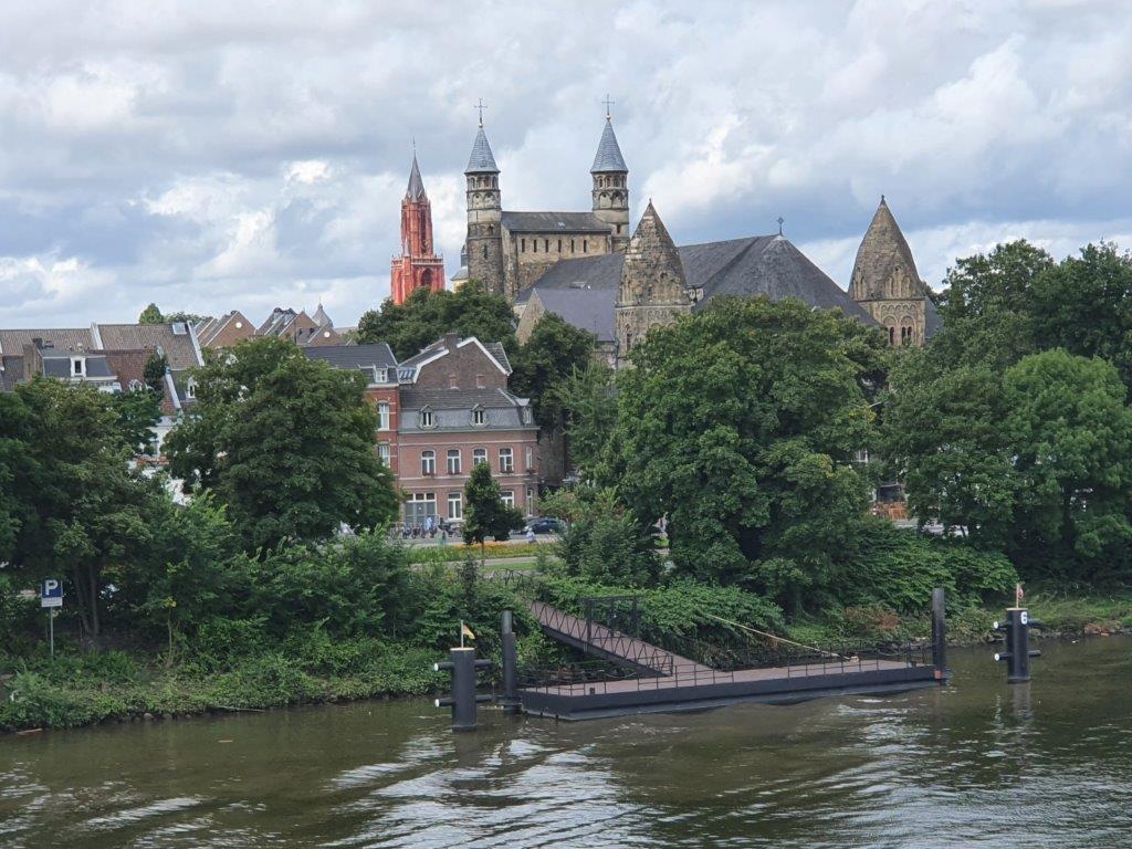
The Basilica of Saint Servatius is a Roman Catholic church dedicated to Saint Servatius, in the city of Maastricht, the Netherlands. The architecturally hybrid but mainly Romanesque church is situated next to the Gothic church of Saint John, backing onto the town’s main square, Vrijthof.
The present-day church is probably the fourth church that was built on the site of the grave of Saint Servatius, an Armenian missionary who was bishop of Tongeren and died allegedly in 384 in Maastricht.
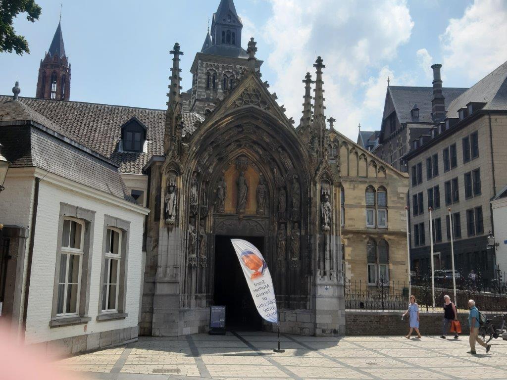
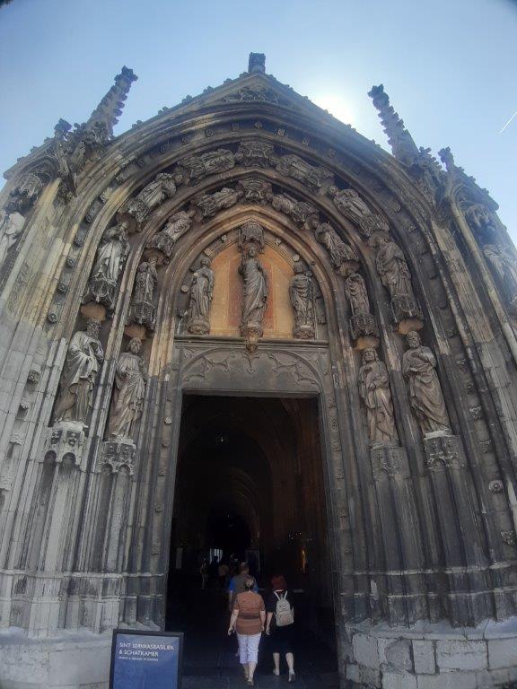
The sculpted Bergportaal, at the south side of the church, was begun around 1180 and can be considered late Romanesque or early Gothic. All the chapels along the side aisles are Gothic (14th and 15th centuries), and so is the vaulted ceiling of the nave and the transept. In 1556 a late Gothic spire was added onto the westwork between the two existing towers. In 1770 the entire westwork was crowned with Baroque helmet spires, designed by the Liège architect Etienne Fayen.
Sint-Janskerk
The Sint-Janskerk (Saint John Church) is a Gothic church in the center of the Dutch city of Maastricht. The Protestant Sint-Jan is situated next to the Roman Catholic Basilica of Saint Servatius on the Vrijthof, a unique sight in the Netherlands.
The Church of Saint John was one of the four parish churches of Maastricht in the Middle Ages. The church was named after John the Baptist and was founded around 1200 by the Chapter of Saint Servatius to function as a baptismal and parish church for the parish of Saint Servatius. This relieved the load on the Saint Servatius Church and allowed it to function exclusively as a collegiate and pilgrimage church.
The Church of St. Servatius remained Catholic after 1632. The relationship between the Protestant and Catholic neighbors was not always harmonious. In the 17th century the Session of Sint-Jan complained about “wolf dancing”, the wild beating of the bells of the Saint Servatius to disrupt the sermon in the Sint-Jan. In 1659 a dispute arose between the Session and ivory carver Johannes Boissier about the marble tomb that he had made for Margarita Elisabet Cabeliaeu-de Gryse, the wife of Jacob Cabeliaeu. The Session found the monument, on which both spouses would be depicted as figures, was too Catholic.
Henric van Veldeke
Heinrich von Veldeke (aka: He(y)nric van Veldeke(n), Dutch Hendrik van Veldeke, born before or around 1150 – died after 1184) is the first writer in the Low Countries known by name who wrote in a European language other than Latin. He was born in Veldeke, which was a hamlet of Spalbeek, part of the municipality of Hasselt, Limburg, Belgium, since 1977. The “Vel(de)kermolen“, a water mill on the Demer River, is the only remainder of the hamlet. In Limburg, he is celebrated as a writer of Old Limburgish.
Personally I come from Limburg and have known about the name Henric van Veldeke since i was young. He’s the name giver of many foundations and associations in Limburg that strive to preserve the Limburgisch dialect(s). To do this they e.g. publish books in and/or about Limburgisch like dictionaries and comic books, they organize Limburgisch dialect only song contests around Carnival. This way is name lives on forever. In the center of the square is a statue of Henric van Veldeke.
Intermezzo
It is a good Idea to turn left and go up and down the Papenstraat. At the end of tge Papenstraat, which is only a short walk you’ll see this majestic building which is the main building of the University of Maastricht:
Other buildings owned by the university can be found mainly in the Jekerkwartier and Stokstraatkwartier.
![]() Turn right into the street named Sint Servaasklooster. It will lead you through 2 old double gated porches. Follow the street to its end.
Turn right into the street named Sint Servaasklooster. It will lead you through 2 old double gated porches. Follow the street to its end.
You now pass between the Sint Servaas Basiliek (to your right) and the Sint Servaas monastery (to your left).
At the street corner of the Sint Servaas Klooster and the Keizer Karelplein is at your right side, the entrance into the Sint Servaas Basiliek and its treasury.
![]() Turn right into the Keizer Karelplein and follow the street until you reach the Vrijthof again. Cross the Vrijthof diagonally.
Turn right into the Keizer Karelplein and follow the street until you reach the Vrijthof again. Cross the Vrijthof diagonally.
There are also many café and restaurant terraces from where you have a great view over this monumental square. Personally, I love the monuments but the square is too large for my taste and I do not like all the sides of the square, although 1 side is definitely very impressive.
![]() When you’re near to the center of the Vrijthof square, deviate a bit left. You need to reach the 1st street left from the streets at the corner of the square. This street is named Platielstraat.
When you’re near to the center of the Vrijthof square, deviate a bit left. You need to reach the 1st street left from the streets at the corner of the square. This street is named Platielstraat.
![]() Turn left into a really narrow alley named Leliestraat. It leads to De Grote Staat. Turn right into Grote Staat and a bit further turn right again into another very narrow alley named Sporenstraat.
Turn left into a really narrow alley named Leliestraat. It leads to De Grote Staat. Turn right into Grote Staat and a bit further turn right again into another very narrow alley named Sporenstraat.
The area you are walking through now has some larger streets like Grote Staat and many narrow ones like Leliestraat and Sporenstraat.
![]() Turn left at the tiny Sint Amorsplein and walk straight ahead ignoring streets to the left and right into Achter het Vleeshuis. Keep going straight ahead until you reach a street named Kersenmarkt to your left. Turn left into Kersenmarkt and abit further right into the Maastrichter Brugstraat (you’ve been here before).
Turn left at the tiny Sint Amorsplein and walk straight ahead ignoring streets to the left and right into Achter het Vleeshuis. Keep going straight ahead until you reach a street named Kersenmarkt to your left. Turn left into Kersenmarkt and abit further right into the Maastrichter Brugstraat (you’ve been here before).
![]() Start walking over the Sint Servaasbrug, but turn right immediately after a few shops and descend from a stair to the Vissersmaas. Turn right again, cross the street and walk diagonally towards a small corner with a cafë or restaurant terrace. This area is called the Houtmarkt (Timber Market). Enter the narrow, pedestrians only alley behind the terrace.
Start walking over the Sint Servaasbrug, but turn right immediately after a few shops and descend from a stair to the Vissersmaas. Turn right again, cross the street and walk diagonally towards a small corner with a cafë or restaurant terrace. This area is called the Houtmarkt (Timber Market). Enter the narrow, pedestrians only alley behind the terrace.
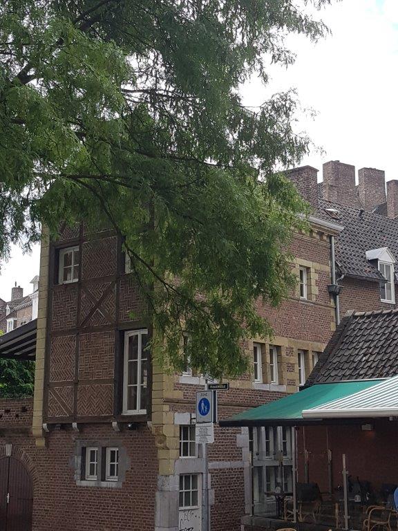
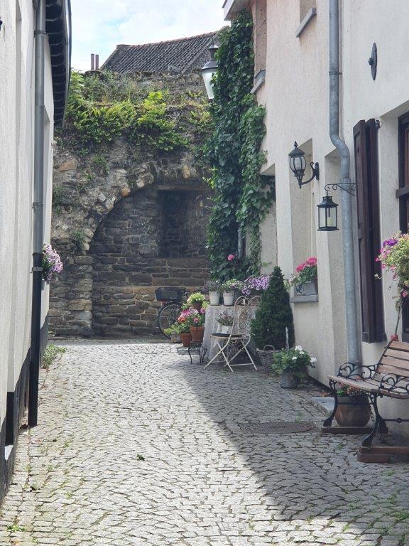
There are some really old buildings to see here.
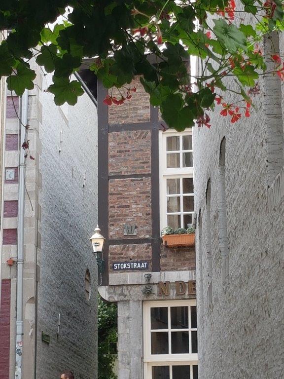
![]() Walk through the alley and turn left into the Stokstraat.
Walk through the alley and turn left into the Stokstraat.
City Walk Map 3:
You’ve now entered the:
Stokstraatkwartier (Stokstraat Quarter)
Stokstraat
The Stokstraat is a street in the center of the Dutch city of Maastricht. It is the main street of the Stokstraatkwartier, one of the oldest neighborhoods in Maastricht. The northern part of the street is now called Kleine Stokstraat. The street is known for its historic appearance, the many national monuments and luxury shops. The Stokstraatkwartier is part of the pedestrian zone of Maastricht.
The Stokstraat is a high end shopping street with lots of exclusive shops. This was quite diffrent in the past when this was a residential area for the poorer inhabitants of Maastricht.
![]() Keep following the Stokstraat for a while until you pass by a church on the right side. You’ve now reached the Graanmarkt (Wheat Market).
Keep following the Stokstraat for a while until you pass by a church on the right side. You’ve now reached the Graanmarkt (Wheat Market).
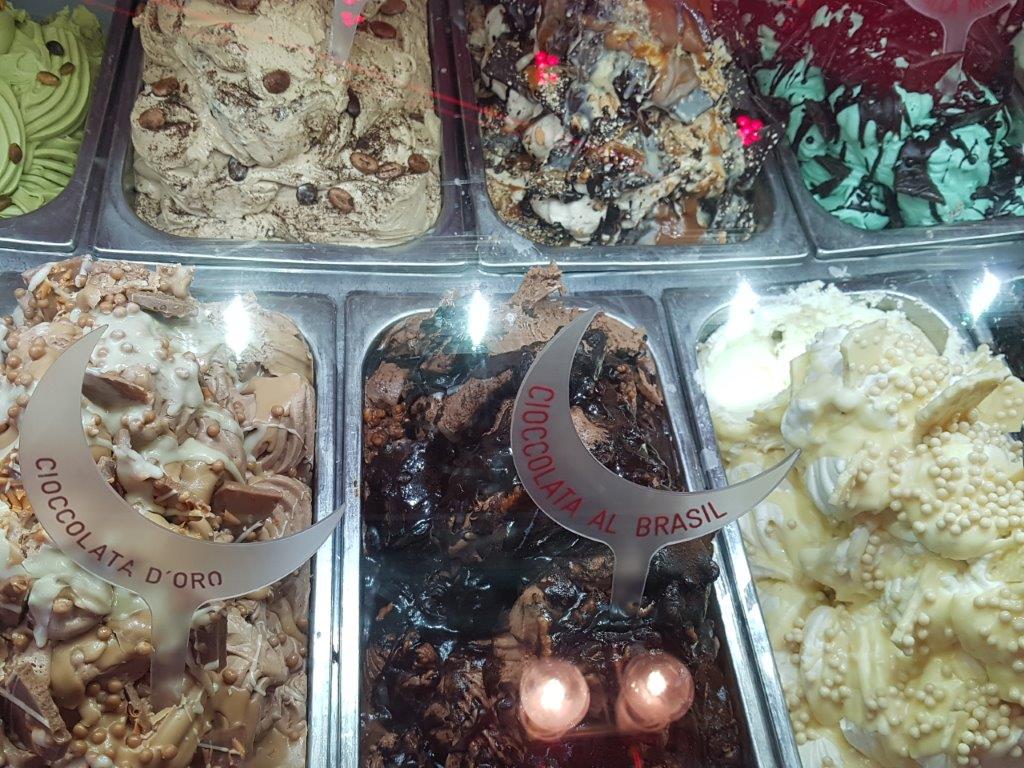
A little bit past the church is an ice cream parlour, named Gelateria Luna Rossa, where you can get every flavour of Italian style gelato that you might wish for…
…and of course a good cup of cappuccino…
After this short break…
![]() Proceed towards the end of the street. Turn right into a street named Onze Lieve Vrouweplein (Our Lady Square). Walk a bit further and you’ll see the actual square full of restaurants and cafés to your right.
Proceed towards the end of the street. Turn right into a street named Onze Lieve Vrouweplein (Our Lady Square). Walk a bit further and you’ll see the actual square full of restaurants and cafés to your right.
Onze Lieve Vrouweplein and Onze Lieve Vrouwekerk
Enjoy a drink in the shade of the trees or visit the church or better the chapel of the church and bring a visit to the statue of the Sterre der Zee (Star of the Sea), a Virgin Mary statue wearing a long dark night sky blue robe.
![]() Standing with your back to the entrances of the Onze Lieve Vrouwe kerk and the chapel and walk diagonally tending left towards the corner of the square.
Standing with your back to the entrances of the Onze Lieve Vrouwe kerk and the chapel and walk diagonally tending left towards the corner of the square.
![]() Enter the Koestraat and follow it to its end where it splits into the Ridderstraat to the left and the Stenenbrug to the right. Do not go either way but instead enter the Bisschopsmolen (Bishop’s Mill) right in front of you.
Enter the Koestraat and follow it to its end where it splits into the Ridderstraat to the left and the Stenenbrug to the right. Do not go either way but instead enter the Bisschopsmolen (Bishop’s Mill) right in front of you.
The Bisschopsmolen
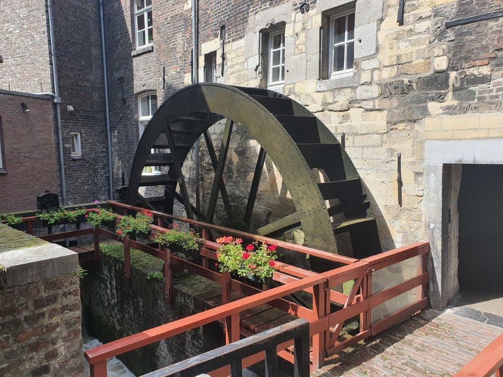
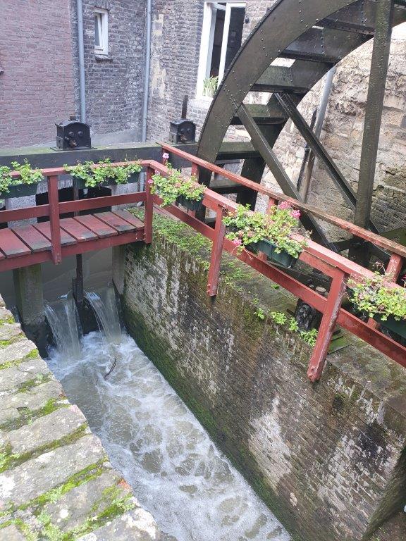
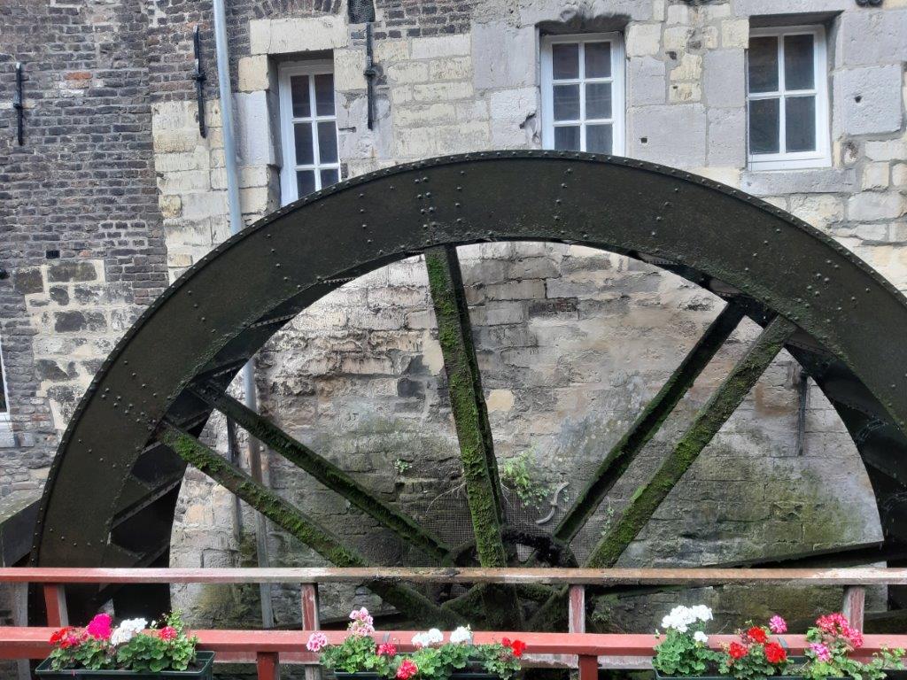
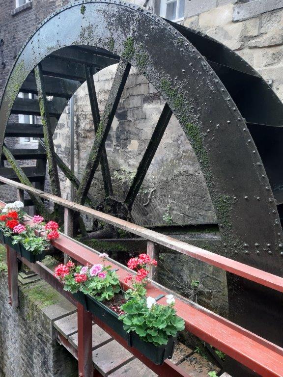
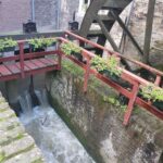
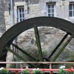
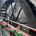
 The Bisshop’s Mill is an old water mill which was used to grind the barley and malt for beer and bread. It uses the waters of the Jeker to do this.
The mill, which was restored in 2004, has been in use again for grinding spelt since 2005. Spelt grain is milled every day, which is obtained from the farmers in the area. The mill supplies grinding products to the Gulpener Bierbrouwerij, see link for a blogpost of my DMT walk which included a visit to the brewery) which uses them for brewing Korenwolf beer, among other things. The mill also houses a bakery and a small eatery.
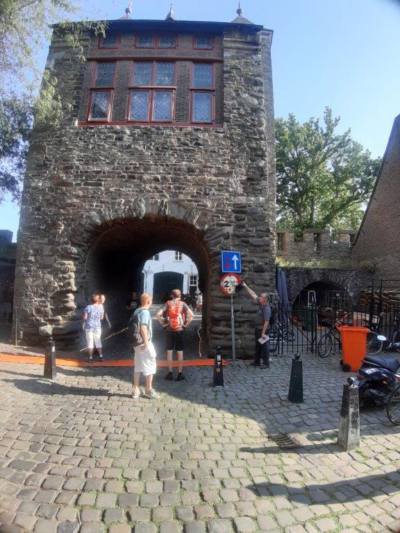
In the Bisschopsmolengang you will see the this house with a so called hanging toilet above the Jeker:
 A rather common way to get rid of waste and other shit in medieval times was to just drop it from a window or later a hanging toilet onto the street or into a river.
![]() Follow the little alley (Bisschopsmolengang) to Achter de Oude Minderbroeders and turn left. Follow this street until it ends at the Sint Bernardusstraat (left and right) and turn right. Follow the Sint Bernardusstraat until it reaches the Helpoort (Hell’s Gate). You’re now leaving the Stokstraatkwartier and enter the Jekerkwartier.
Follow the little alley (Bisschopsmolengang) to Achter de Oude Minderbroeders and turn left. Follow this street until it ends at the Sint Bernardusstraat (left and right) and turn right. Follow the Sint Bernardusstraat until it reaches the Helpoort (Hell’s Gate). You’re now leaving the Stokstraatkwartier and enter the Jekerkwartier.
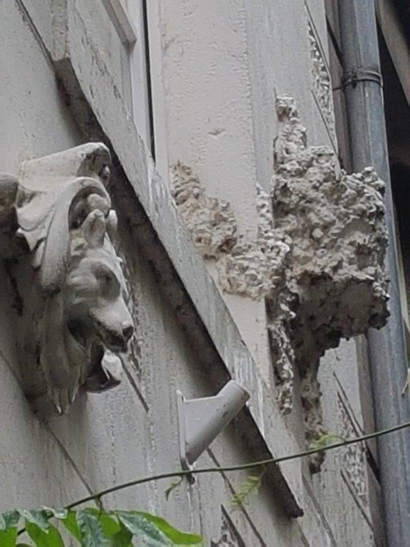
Beneath are some wall decorations in the Sint Bernardusstraat:
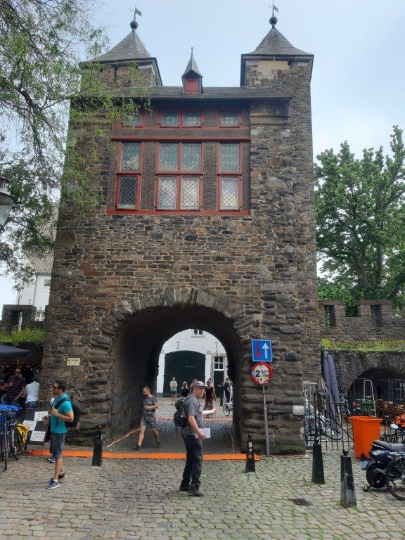
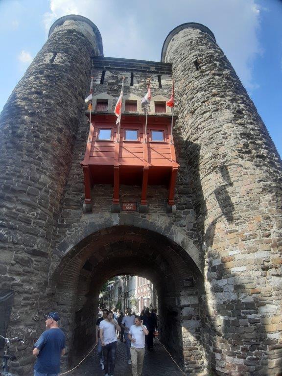
Helpoort/Hell’s Gate
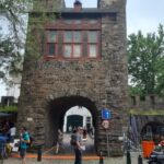
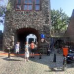
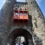
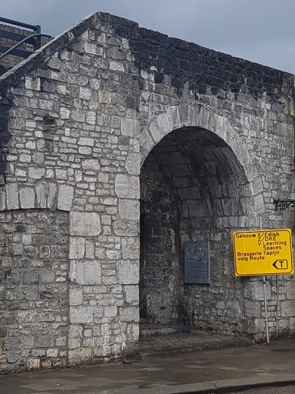
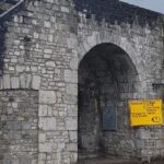
 The Helpoort is an old gate of the medieval city walls that surrounded the old town and of which a still significant part is erect.
The Helpoort, formerly also called Jekerpoort, Hoogbruggepoort, Alde Poort op den Ancker, Kruittorenpoort or De Twee Torens, is a former city gate in the Dutch city of Maastricht. The gate is part of the first medieval city wall of Maastricht and is located in the Jekerkwartier at the southern end of the Sint Bernardusstraat, opposite the Pesthuys. The gate dates from the second quarter of the 13th century, making it the oldest surviving city gate in the Netherlands.
The Helpoort was probably built around 1230.
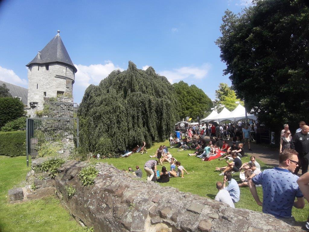
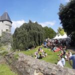
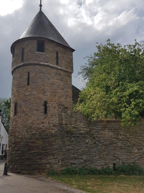
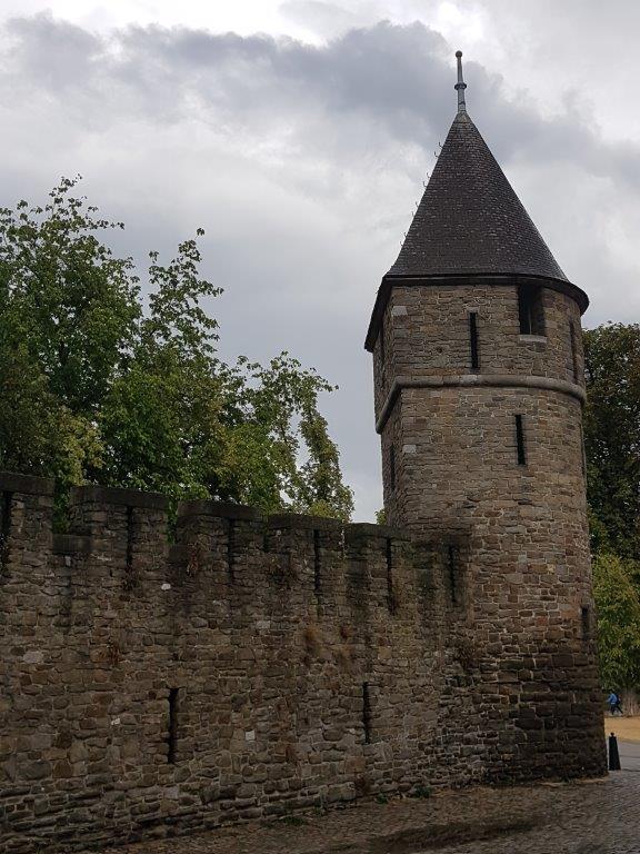
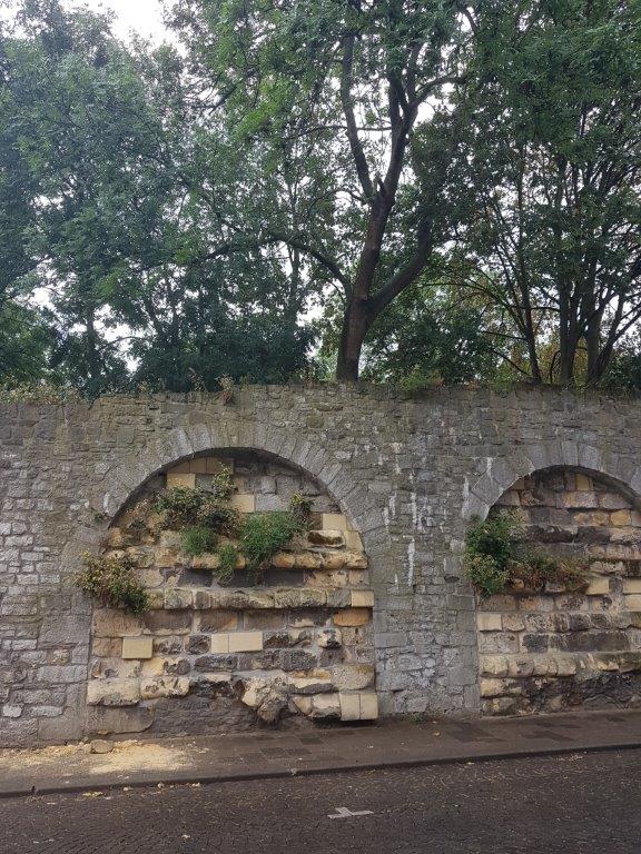
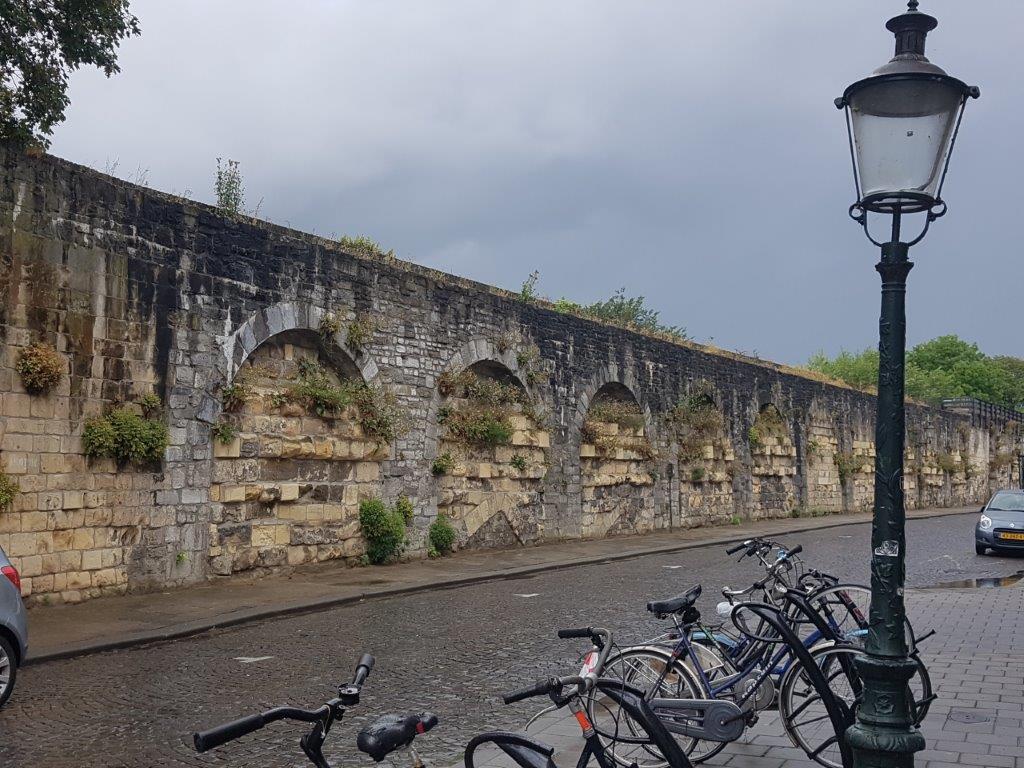
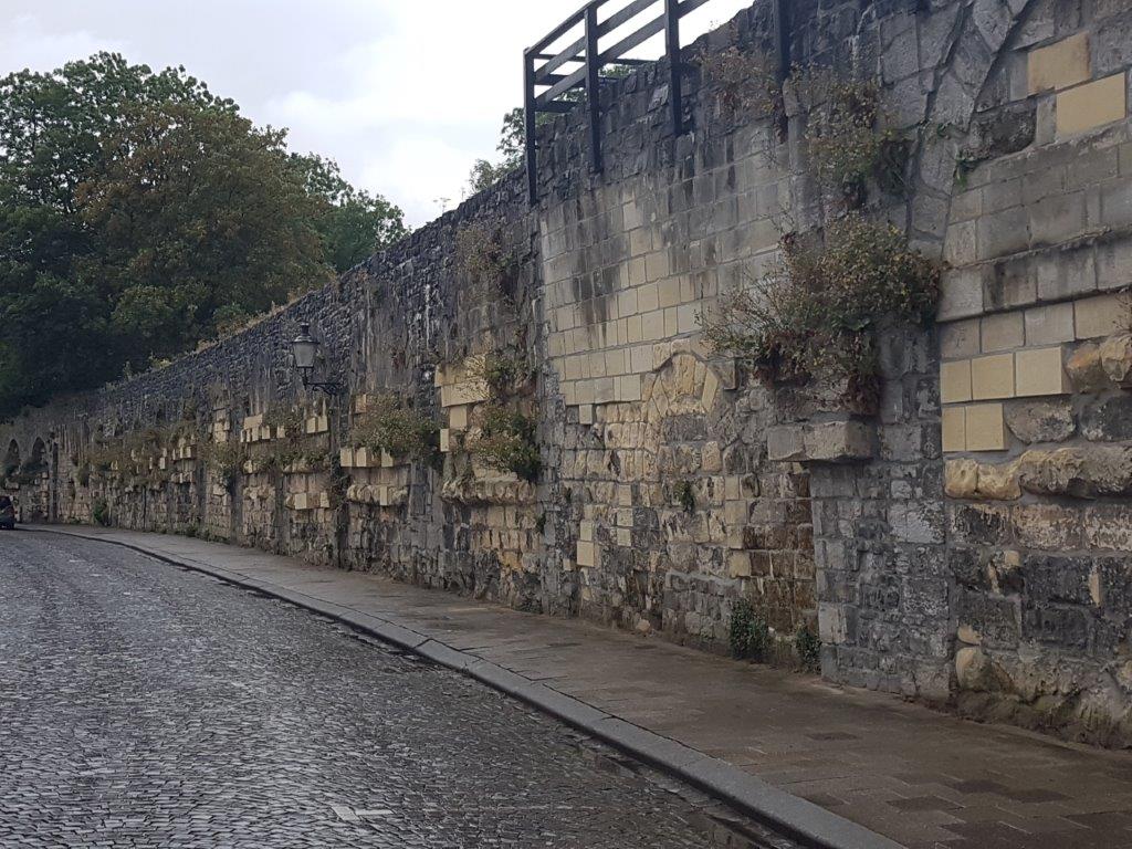
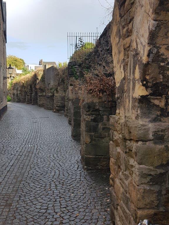
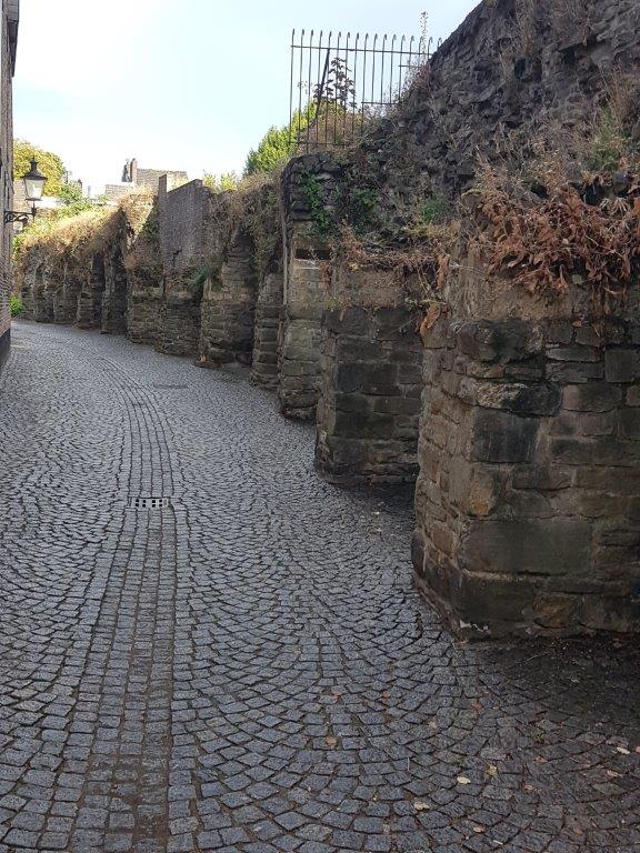
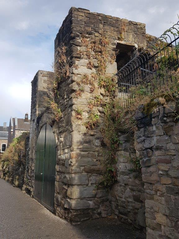
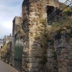
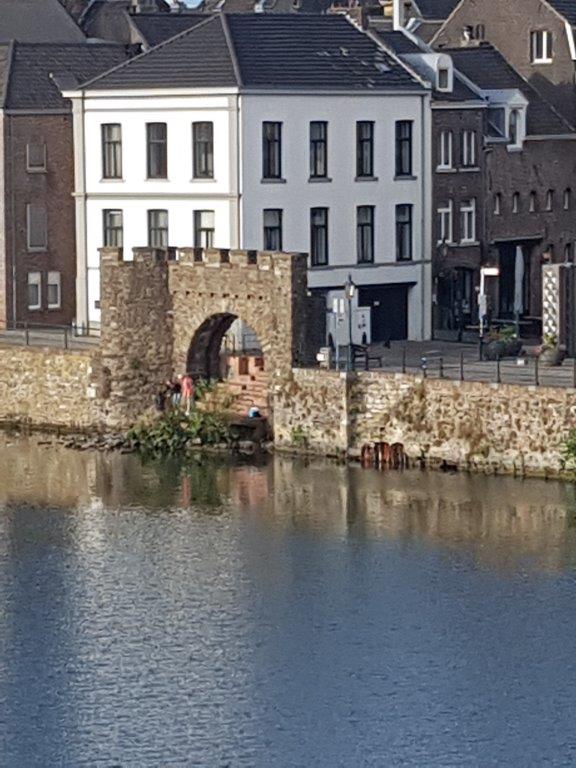
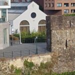
After you’ve stepped through the Hell’s gate you’ll have plenty of opportunity to gaze upon the beautiful remnants of the medieval city walls…
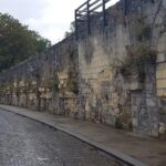
After passing the above defense tower you’ll have a great view of the city walls to your left…
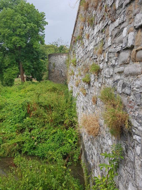
The exact year of construction of Maastricht’s oldest medieval city wall is not clear. In 1229, the Duke of Brabant gave permission to build a stone wall around the city. Earlier, an earthen wall with palisades had been erected, but this was destroyed by the bishop of Liège, co-lord of the two-hered city of Maastricht, during the Siege of Maastricht (1204). It is likely that in 1229 the construction of stone city gates and ramparts, connected by earthen walls, gradually petrified in the course of the 13th century.
 The new wall on the left bank of the Meuse consisted of coal sandstone, stretched over a length of approximately 2.4 kilometers, was 6 to 8 meters high and had a total of thirteen city gates, two water gates and an unknown number of wall towers.
![]() Turn left and after passing the above defense tower turn right into a street named Vijfkoppen. Cross the Jeker and keep following Vijfkoppen until you reach a street named Sint Peterskade (left) and Begijnenstraat (right). Cross the street and go straight ahead into a pedestrian path (Molenhofpad) with the Jeker on your right and a pool on your left into a park (Monseigneur Nolenspark) and keep the Jeker always to your right within view. You’ll also have large sections of the city wall (Nieuwenhofstadswal) to your right.
Turn left and after passing the above defense tower turn right into a street named Vijfkoppen. Cross the Jeker and keep following Vijfkoppen until you reach a street named Sint Peterskade (left) and Begijnenstraat (right). Cross the street and go straight ahead into a pedestrian path (Molenhofpad) with the Jeker on your right and a pool on your left into a park (Monseigneur Nolenspark) and keep the Jeker always to your right within view. You’ll also have large sections of the city wall (Nieuwenhofstadswal) to your right.
Na het gereedkomen van de tweede middeleeuwse stadsmuur omstreeks 1350 fungeerde de eerste muur als reserve-verdedigingslinie. Voor de meeste oude poorten gold dat de taak van toegangspoort vanaf dat moment werd overgenomen door de nieuwe stadspoorten. Voor de Helpoort gold dit echter niet, omdat zich buiten deze poort Luiks gebied bevond, dat van de heerlijkheid Sint Pieter, waardoor de uitbreiding van de stad in dit gebied lange tijd onmogelijk was. De nieuwe zuidmuur boog vanaf de Sint-Pieterspoort af naar het noordoosten en sloot bij de Pater Vincktoren aan op de oude muur. Eind 15e eeuw verviel de poortfunctie van de Helpoort alsnog, toen de poort door de Nieuwstad-uitbreiding binnen de stadsomwalling kwam te liggen.
Ook al was het belang ervan verminderd, men bleef de eerste muur zeker tot de 16e eeuw onderhouden.
City Walk Map 4:
Jekerkwartier
The neighborhood takes its name from the river Jeker that flows through it and flows into the Maas. It was originally a low-lying area with a number of branches of the Jeker, which later determined the street plan and the building blocks.
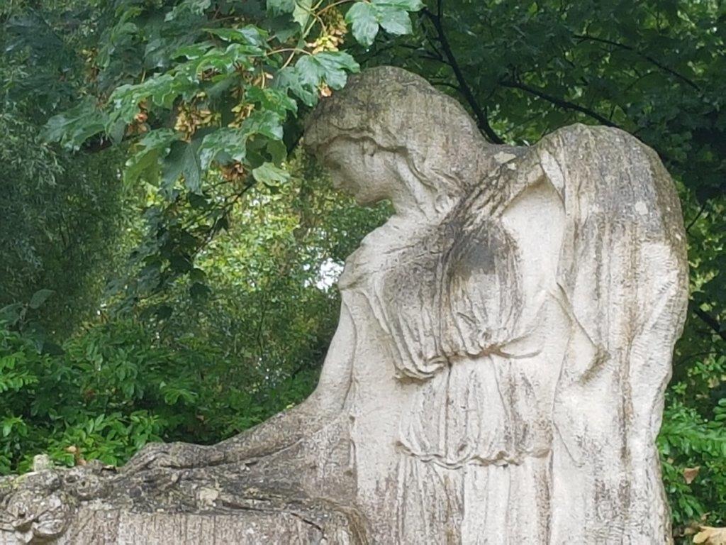
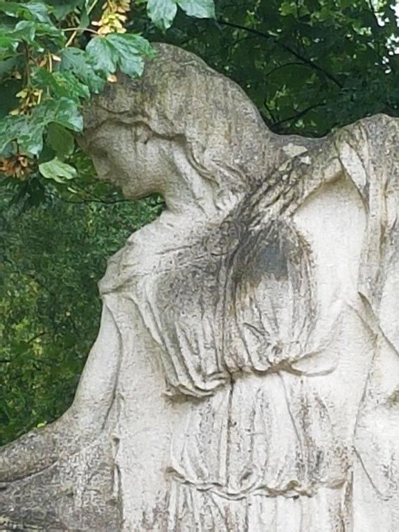
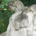
At the start of the park is a white statue of a lady at a tomb, which is a statue in honor of French refugees.
2nd medieval city wall
Maastricht had 2 medieval city walls. Of both walls remnant can be found and this walk will lead past both walls, but 1st the 2nd medieval wall which was created after the city had been expanding and the space within the 1st wall was utterly spend.
 Ribbon buildings arose along the arterial roads, which formed an obstacle to the defense of the city. Around the middle of the 14th century, especially on the north side, a populous neighborhood had developed in the Boschstraatkwartier, where many cloth weavers lived. From about 1375 these ‘suburbs’ were enclosed with a new stone wall. With the construction of the second medieval wall on the western bank of the Meuse, the area of the walled city quadrupled.
If you walked the Optional Industrial Heritage deviation of this walk, than you might have seen large parts of remnants of the 2nd medieval earth walls that still remain.
On the left bank of the Meuse, the wall had a length of 3575 m and a height varying from 6 to 9 m. There were about 40 ramparts and five city gates: the Boschpoort, the Lindenkruispoort (made virtually inaccessible after 1676 due to an earthen wall[13]), the Brusselsepoort, the Tongersepoort and the Sint-Pieterspoort. The old Onze-Lieve-Vrouwepoort and the Veerlinxpoort provided access to the Maaskade. The first city wall was maintained as a reserve defense belt. A few monasteries settled in the area between the first and second walls.
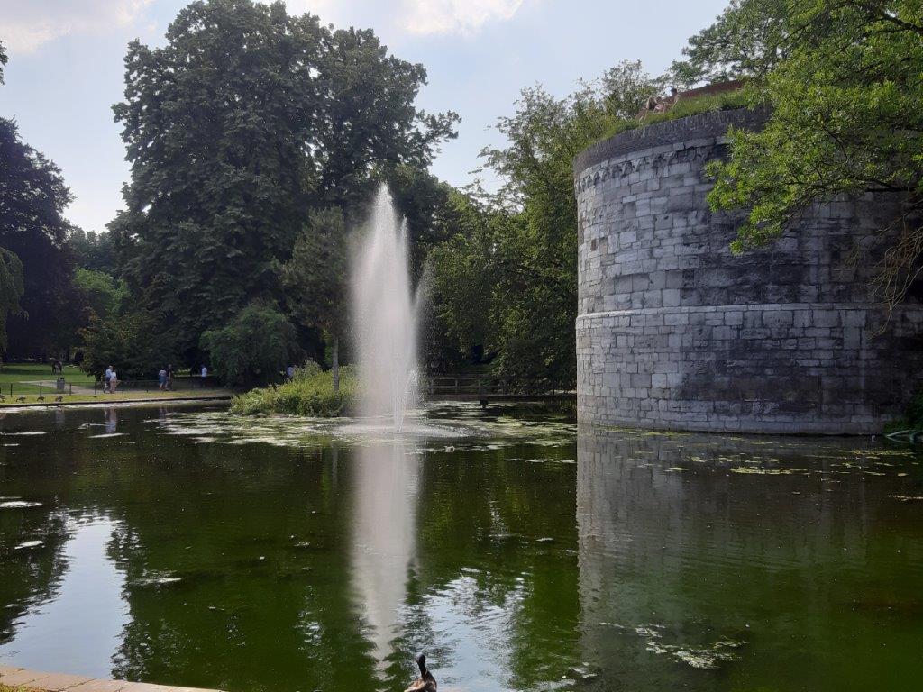
The 14th-century city gates were all demolished after the removal of the fortress status in 1867. A large part of the southern city wall with a few (partly reconstructed) towers and the De Reek water gate remains in the City Park of the second medieval ramparts.
Nieuwenhofstadswal
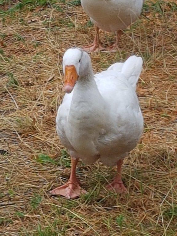
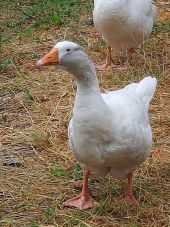
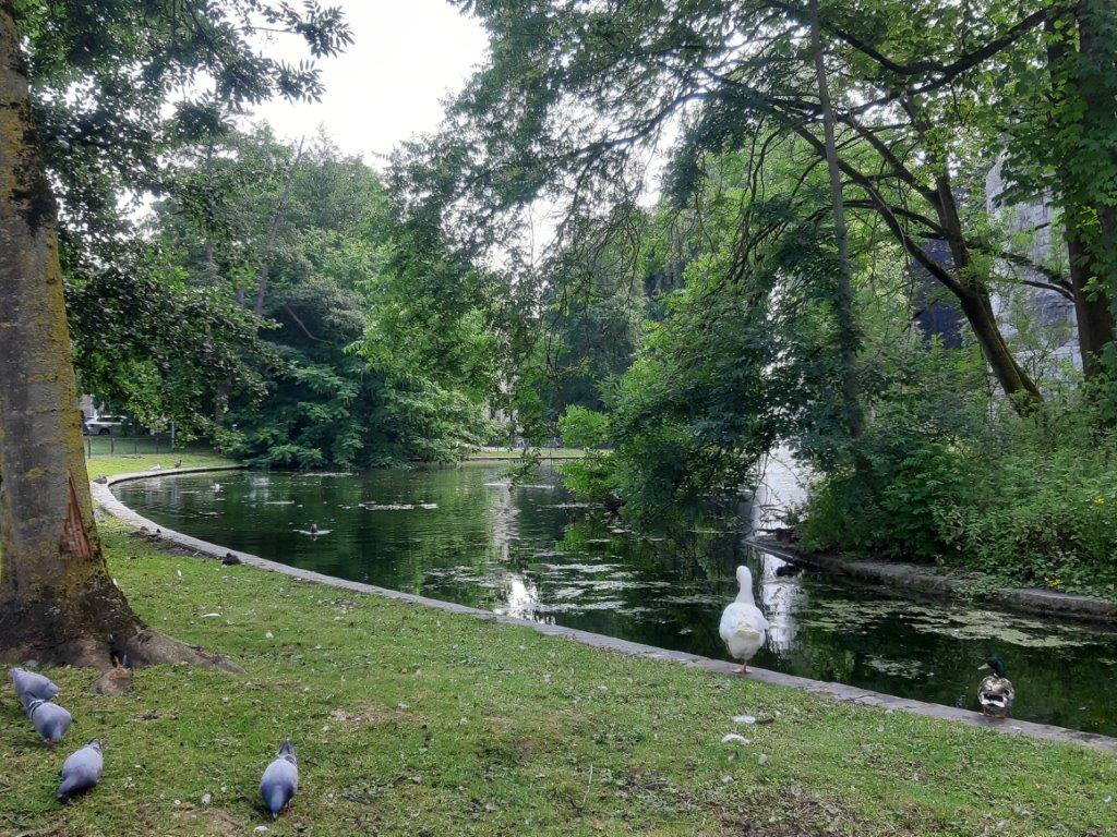
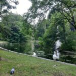
The water of the pools and of the Jeker attracts geese and people tend to feed them bread crumbs.
![]() After a long walk where you’ll cross a road named Henri Hermanspark, you’ll walk past bird cages (voliéres) to your left, then after another long walk, the path will cross the Jeker where it seperates from the city walls. Keep following the city walls until they make a 90° angle to your right.
After a long walk where you’ll cross a road named Henri Hermanspark, you’ll walk past bird cages (voliéres) to your left, then after another long walk, the path will cross the Jeker where it seperates from the city walls. Keep following the city walls until they make a 90° angle to your right.
The Bearpit

A human and a bear sitting on a bench sharing their sadness over how humans mistreated nature in the last decennia…
After you crossed the Jeker you enter the Aldenhofpark where you will find a Bear pit to your left and the 90° angle in the direction of the city walls to your right. This bearpit is an artwork consisting of a round fenced bearpit containing statues of animals that have become extinct, as a reminder of how we deal with our world.
![]()
Take the path to your right which keeps following the city walls. Stop at the statue to your right.
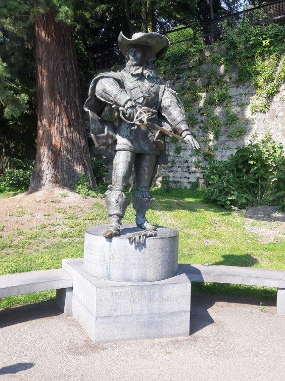
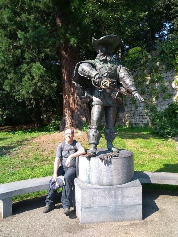
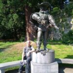
D’Artagnan Statue
D’Artagnan was the main character from Alexandre Duma’s famous book: The Three Musqueteers. Dumas wrote romanticized historic novels, like The Count of Monte Christo. Why there is a D’Artagnan statue in Maastricht, puzzles me, except that it again confirms the french connection this town has.
![]() Now retrace your steps, passing the bearpit, keeping the city wall to your left and crossing the Jeker keeping the Jeker to your left. Keep following the Jeker and the city wall until you reach the 1st bridge and gate over the Jeker and through the wall. Cross the bridge.
Now retrace your steps, passing the bearpit, keeping the city wall to your left and crossing the Jeker keeping the Jeker to your left. Keep following the Jeker and the city wall until you reach the 1st bridge and gate over the Jeker and through the wall. Cross the bridge.
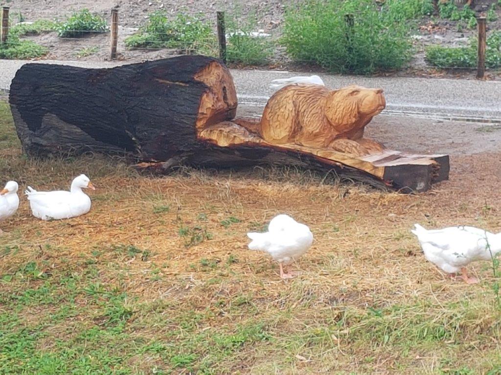
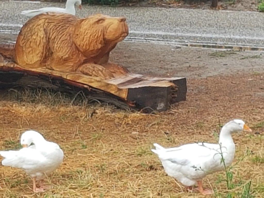
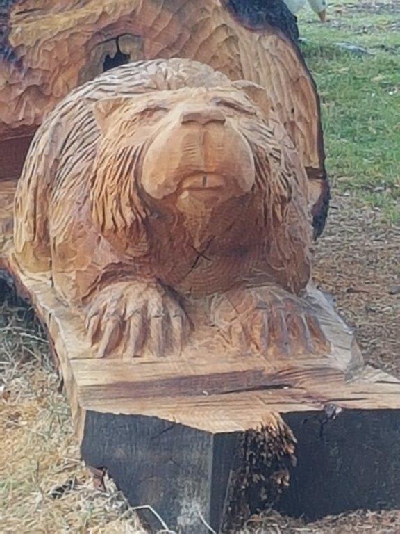
Near the bridge were some beautifully carved wooden statues of animals like e.g. this beaver…
After crossing the bridge you get to this gate…
Personally I thought the stone above the gate had a gruesome piece of art, which showed a hunting party for wild boars…

![]() Pass through the gate and look left and right to see the city walls, but then go straight ahead into a street named Zwingelput.
Pass through the gate and look left and right to see the city walls, but then go straight ahead into a street named Zwingelput.
![]() Follow the Zwingelput until you reach a broad double laned street to your right. This is the Groote Looijer-straat. Remember to turn left into the Bosquetplein, but 1st take have a look at the beginning of the Groote Looijersplein and the surrounding building and statues.
Follow the Zwingelput until you reach a broad double laned street to your right. This is the Groote Looijer-straat. Remember to turn left into the Bosquetplein, but 1st take have a look at the beginning of the Groote Looijersplein and the surrounding building and statues.
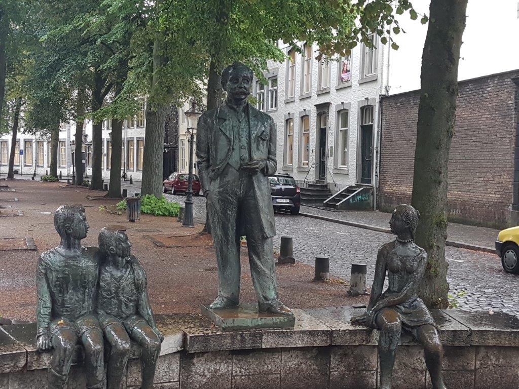
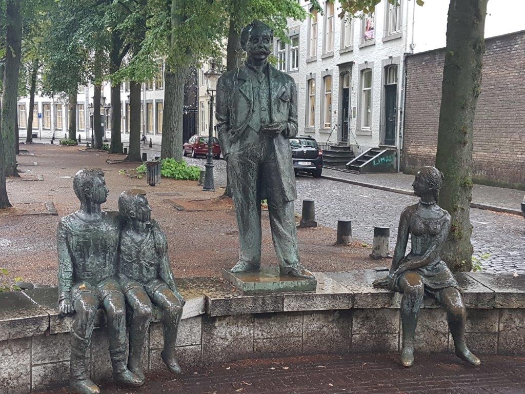
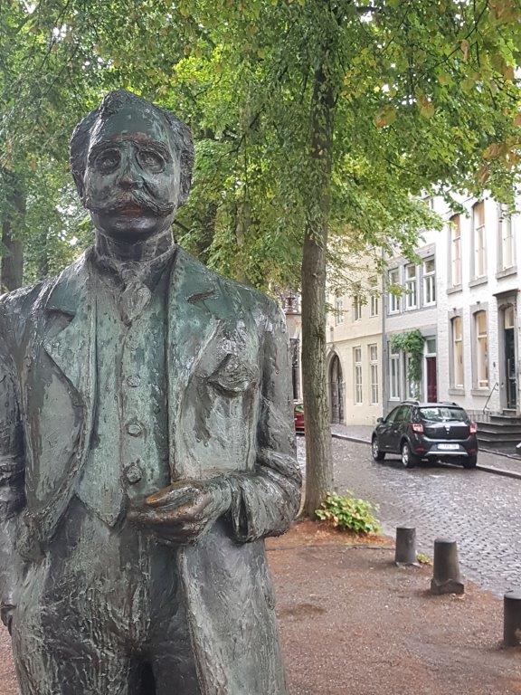
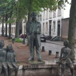
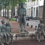
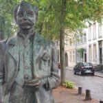
 Statue of Alphonse Olterdissen
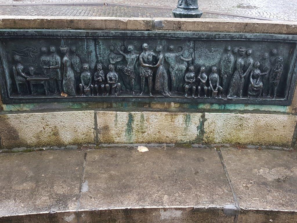
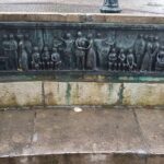
In 1962 werd in de middenberm van de Grote Looiersstraat een beeldengroep geplaatst naar ontwerp van Willem Hofhuizen. Het stelt Alphonse Olterdissen voor als verteller met een groep luisterende kinderen, zittend op een hardstenen bank. Op een bronzen reliëf daar tegenover is een scène uit Trijn de Begijn te zien.
Alphonse (Fons) Victor Olterdissen (Maastricht, 12 december 1865 – aldaar, 24 februari 1923) was een Nederlands schrijver, dichter en regisseur. Zijn werk, dat bestaat uit verhalen, toneelstukken en operettes, behoort tot het bekendste dat in het Maastrichts geschreven werd. Het slotkoor van zijn komische opera Trijn de Begijn is sinds 2002 officieel het Maastrichtse volkslied.
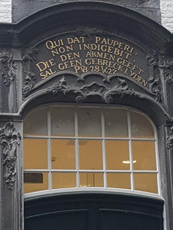
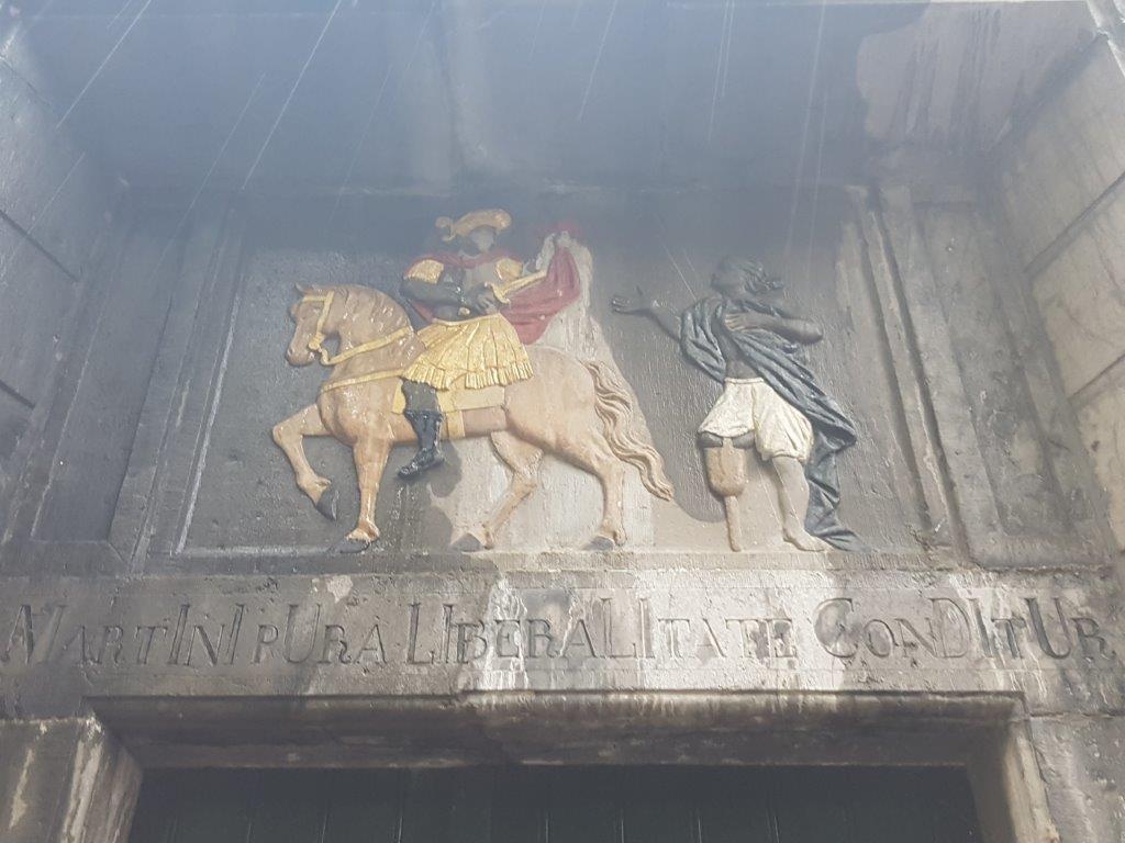
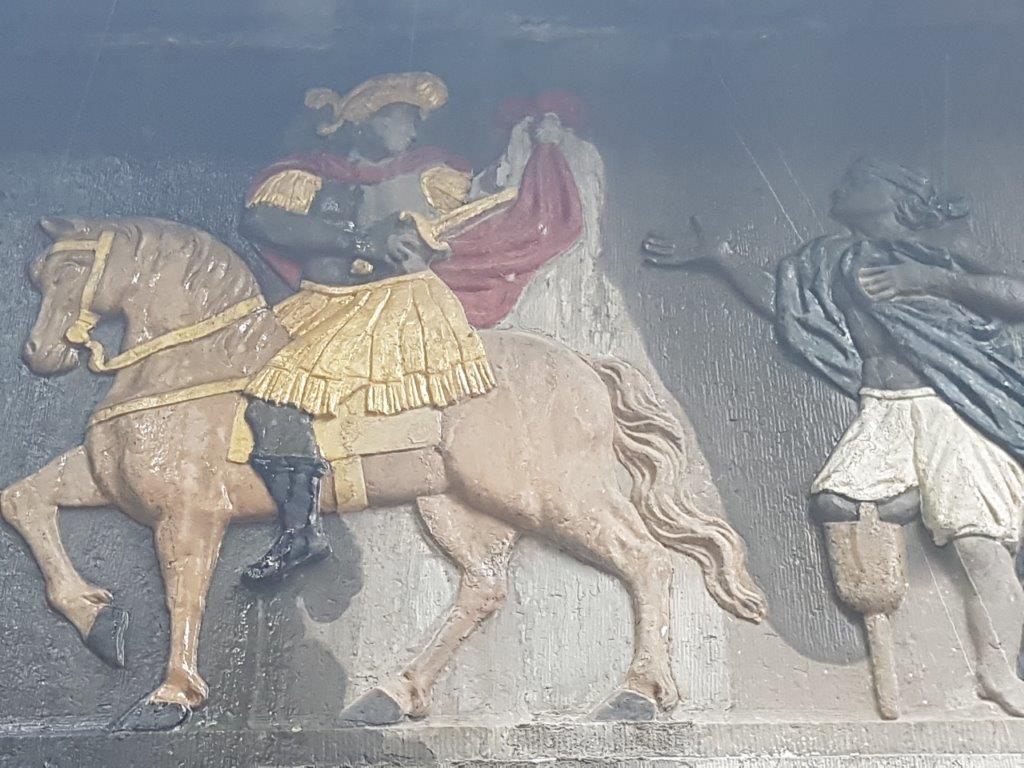
Poormen’s house (armenhuis of pauperhuis)
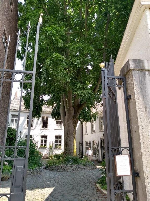
The Nieuwenhofklooster is a former monastery in the center of the Dutch city of Maastricht, located on the southern edge of the Jekerkwartier district at Zwingelput 4. Over the centuries, the complex of buildings has been used as a beguinage, monastery, poorhouse, orphanage and university building. The Nieuwenhof Monastery is a national monument.
Entry gate to courtyard
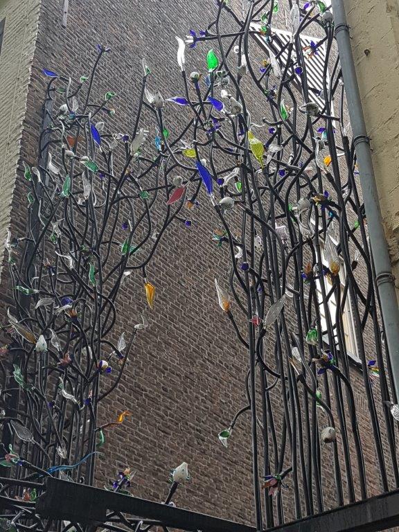
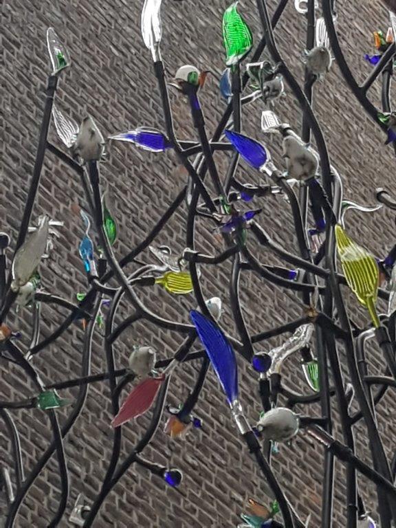
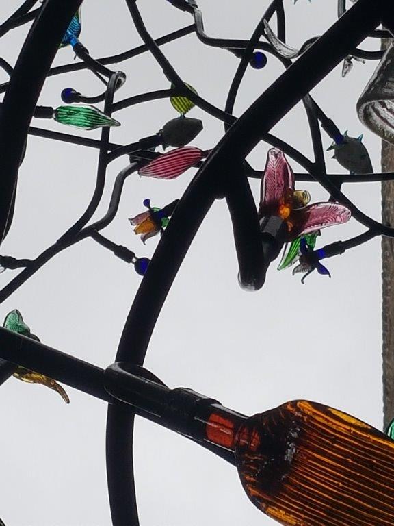
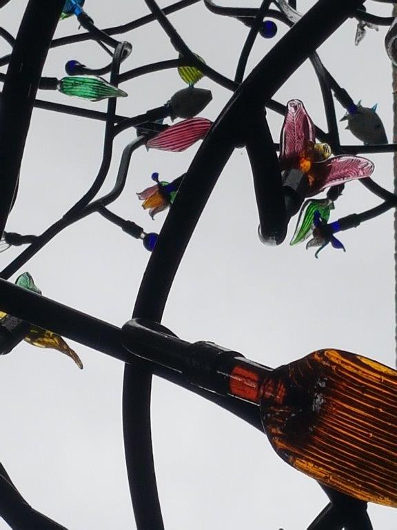
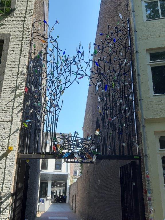
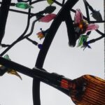
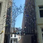
The entry gate to the courtyard of the Nieuwenhofklooster has delicate, colored glass art to admire…
There’s a lot to see.
![]() Turn left into the Bosquetplein. Underneath the street the Jeker flows and you’ll cross it without noticing. Subsequently follow the street as it turns into Heksenstraat and later Bonnefantenstraat, while passing the Maastricht Conservatory to your left.
Turn left into the Bosquetplein. Underneath the street the Jeker flows and you’ll cross it without noticing. Subsequently follow the street as it turns into Heksenstraat and later Bonnefantenstraat, while passing the Maastricht Conservatory to your left.
![]() Follow the Bonnefantenstraat through a bend to the right abd then look out for the river Jeker to your right and the Huys op den Jeker.
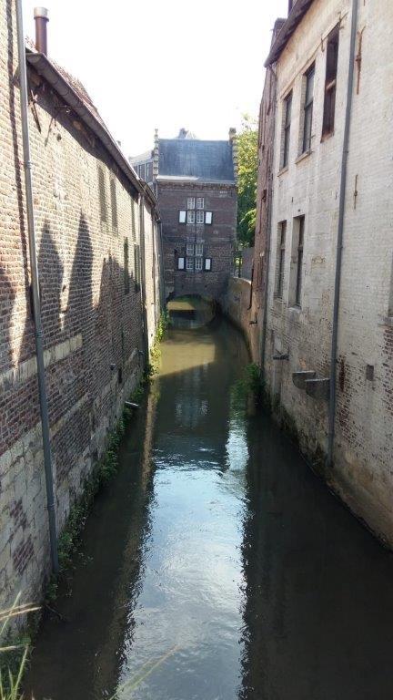
Follow the Bonnefantenstraat through a bend to the right abd then look out for the river Jeker to your right and the Huys op den Jeker.
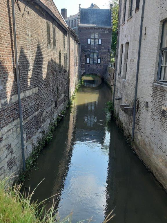
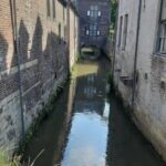
Huys op den Jeker/House upon the Jeker
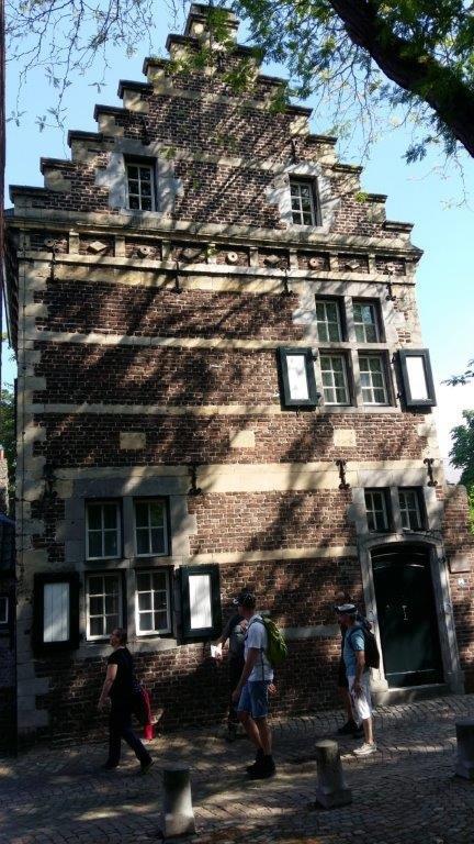
This stepped gable house, which is an ecellent example of the Maasland Renaissance style, is built on a barrel vault and consists of brick interspersed with local soft marl blocks.
![]() Keep following the Bonnefantenstraat to its end and continue into the Ezelsmarkt and then turn right into the Tongersestraat and after only a few meters go right into the Lenculenstraat. Turn right into the Verwerhoek and walk to the end which is a small gate into the 1st medieval city wall. The gate is closed.
Keep following the Bonnefantenstraat to its end and continue into the Ezelsmarkt and then turn right into the Tongersestraat and after only a few meters go right into the Lenculenstraat. Turn right into the Verwerhoek and walk to the end which is a small gate into the 1st medieval city wall. The gate is closed.
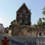
Only a few meters before the gate are some remnants of the city wall and on your left side you can suddenly see the Jeker flow from underneath the street and houses.
Another section of the 1st medieval city wall
![]() After turning left, you enter a street named Kleine Grachtje (Tiny moat). Follow Kleine Grachtje until it merges with Achter de Molens (Behind the Mills) and hold the same direction (do not turn left) until this street reaches the Groote Looijerstraat.
After turning left, you enter a street named Kleine Grachtje (Tiny moat). Follow Kleine Grachtje until it merges with Achter de Molens (Behind the Mills) and hold the same direction (do not turn left) until this street reaches the Groote Looijerstraat.
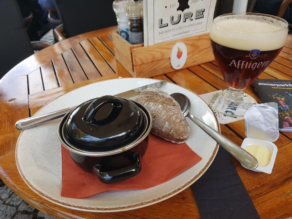
Lure
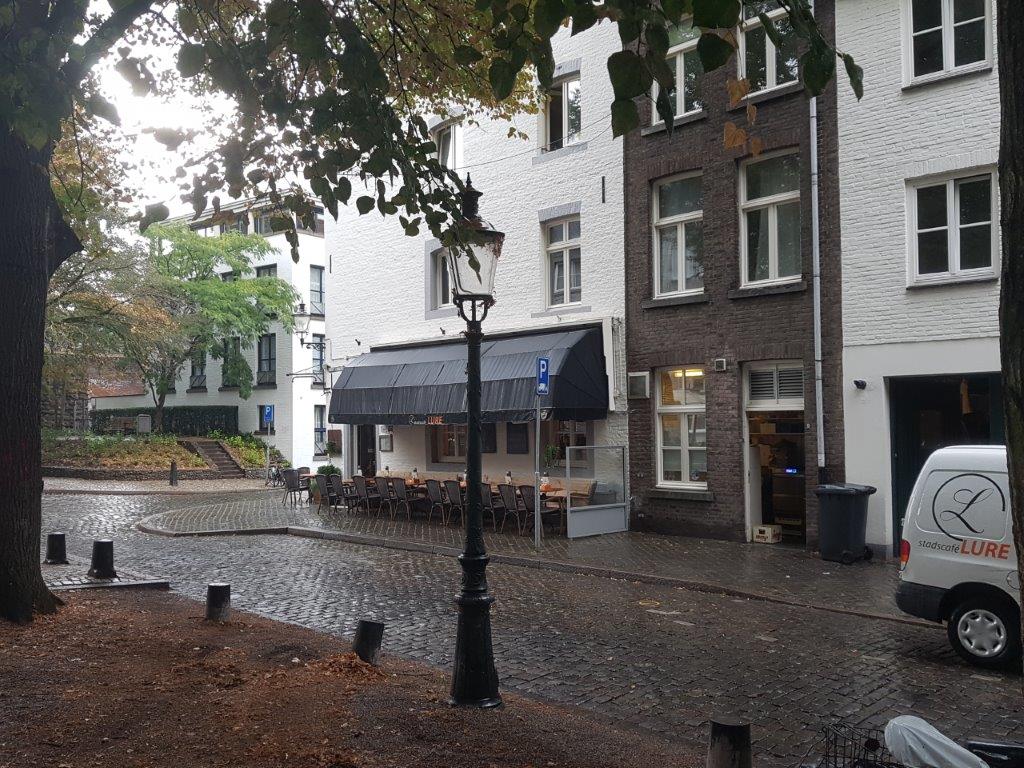
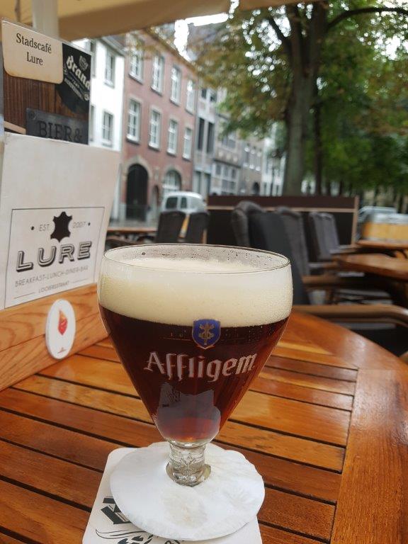
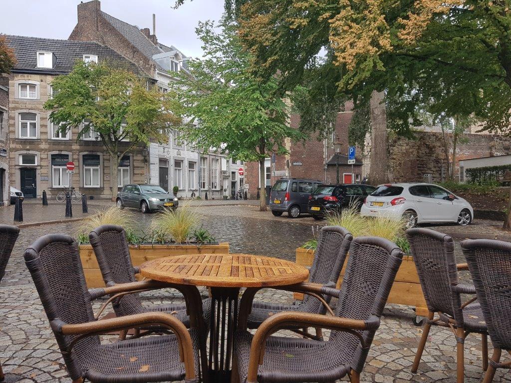
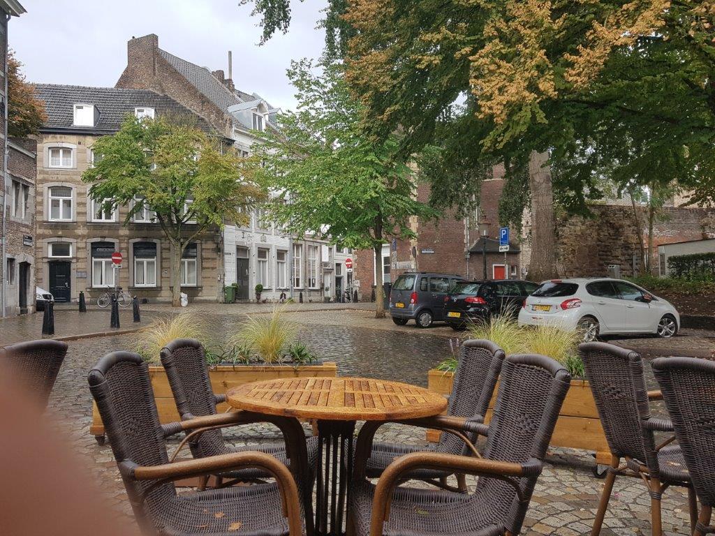
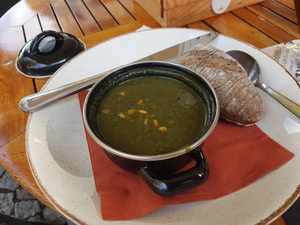
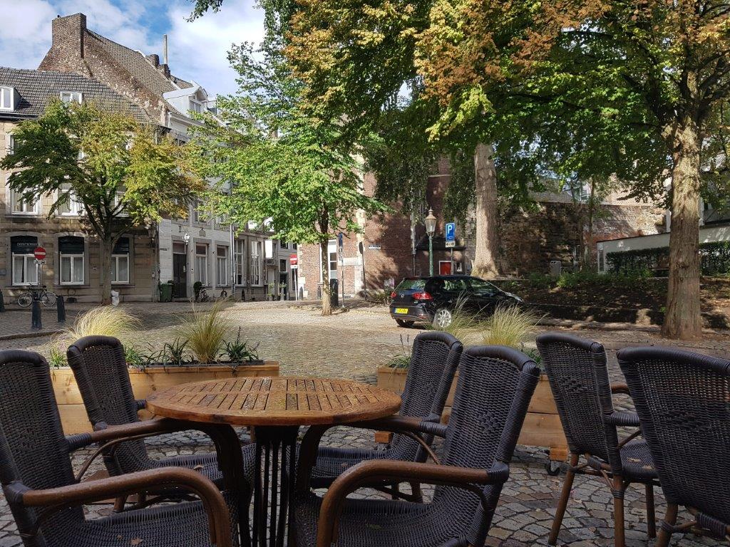
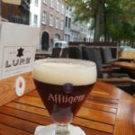
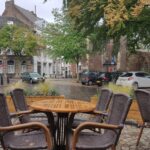
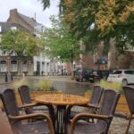
You’re now at the other end of the Groote Looijerstraat than you were before. Here’s a terrace beneath the shade of the trees at Café/restaurant Lure, which serves a selection of beers but is also a recommended place to have lunch or dinner.
The terrace
Lure is a terrace which is not located in one of the mainstream tourist locations like Vrijthof or Onze Lieve Vrouweplein. A marvelous place if you want a bit more tranquility around you.
Even the views from the terrace of Lure can be wonderful:
![]() Leave Lure’s terrace in the direction where you came from (towards Achter de Molens) but turn immediately right when just before you reach Achter de Molens. Now you walk in a street named Lang Grachtje (Long tiny Moat). This street follows some more remnants of the 1st medieval city wall which are now to your right.
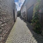
Leave Lure’s terrace in the direction where you came from (towards Achter de Molens) but turn immediately right when just before you reach Achter de Molens. Now you walk in a street named Lang Grachtje (Long tiny Moat). This street follows some more remnants of the 1st medieval city wall which are now to your right.
![]() Turn left into a very narrow alley named Sint Hilariusstraat, which I think is quite a hilarious name🤣.
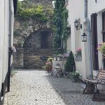
Turn left into a very narrow alley named Sint Hilariusstraat, which I think is quite a hilarious name🤣.
![]() Turn right into the Tafelstraat. Cross the Sint-Pieterstraat. Turn right and immediately left into Achter de Oude Minderbroeders (remember that you’ve been here before?). At the end turn right into Sint Bernardusstraat and go through the Helpoort. Turn left but do not follow Vijfkoppen, but instead turn left again into a path over a grassy area in the direction of the pedestrian/cyclists bridge crossing the River Meuse. Ascend the stairs and cross the river.
Turn right into the Tafelstraat. Cross the Sint-Pieterstraat. Turn right and immediately left into Achter de Oude Minderbroeders (remember that you’ve been here before?). At the end turn right into Sint Bernardusstraat and go through the Helpoort. Turn left but do not follow Vijfkoppen, but instead turn left again into a path over a grassy area in the direction of the pedestrian/cyclists bridge crossing the River Meuse. Ascend the stairs and cross the river.
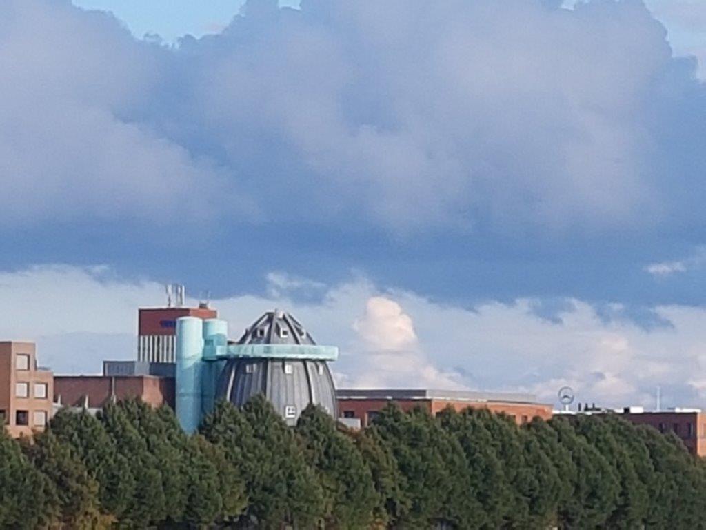
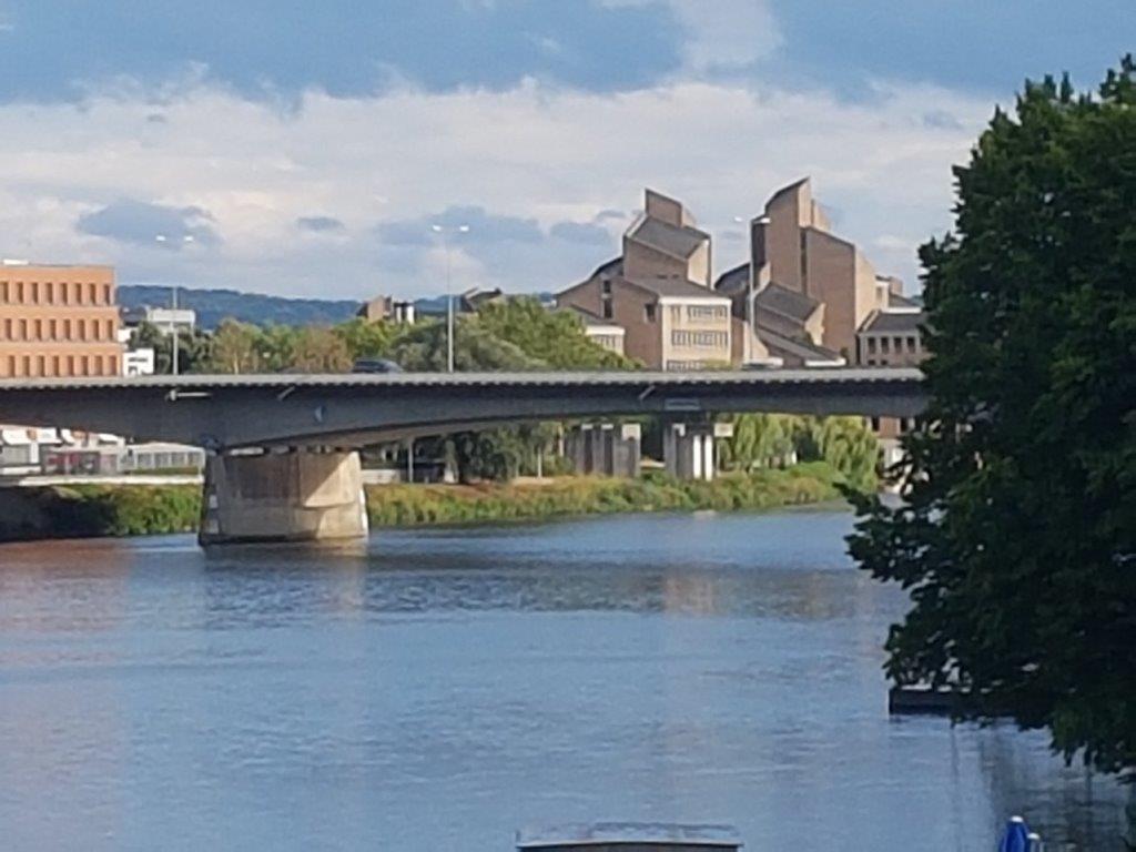
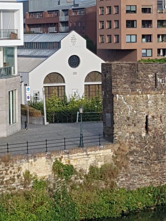
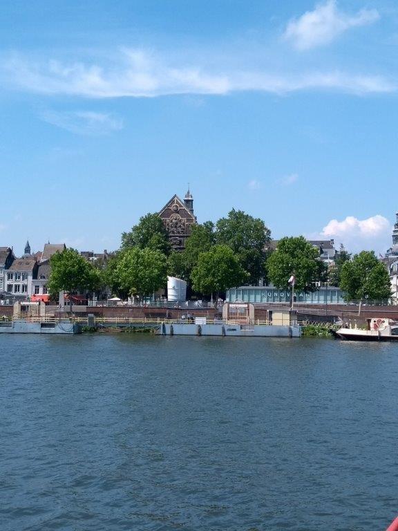
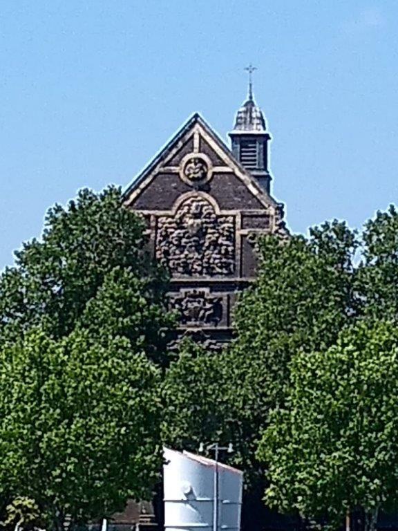
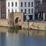
Enjoy the views of the city walls, the Sint Servaas Bridge, and the architecture of Ceramique, a sub quarter of Wyck. You’ll also see the Province house of the provincial government (where the Maastricht treaty was actually signed by the European leaders), remnants of the city wall at tge Wyck part of the town, the Oude Minderbroedersklooster and the Bonnefanten Museum’s bullet like dome.

![]() Turn left after descending from the bridge. Leave the square and follow the Ruiterij. Keep following the Ruiterij straight ahead where it soon changes into the Wycker Grachtstraat. You are now entering Oud Wyck.
Turn left after descending from the bridge. Leave the square and follow the Ruiterij. Keep following the Ruiterij straight ahead where it soon changes into the Wycker Grachtstraat. You are now entering Oud Wyck.
Oud Wyck is a very lively and vivid neighbourhood…
![]() Ignore the Hoogbrugstraat and the Bourgognestraat. Turn right at the Wycker Brugstraat.
Ignore the Hoogbrugstraat and the Bourgognestraat. Turn right at the Wycker Brugstraat.
At the Bourgognestraat, check out the opposite side of the street for a beautiful Industrial heritage warehouse…
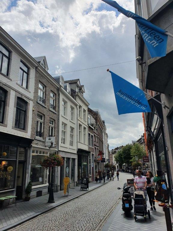
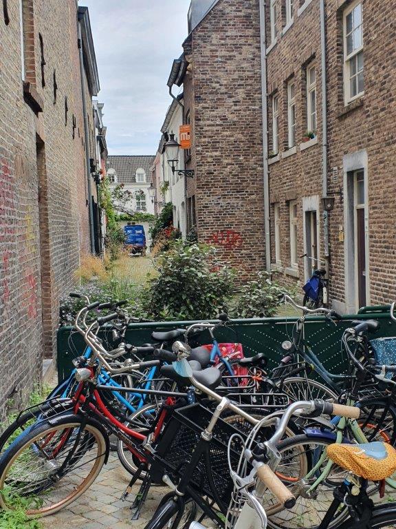
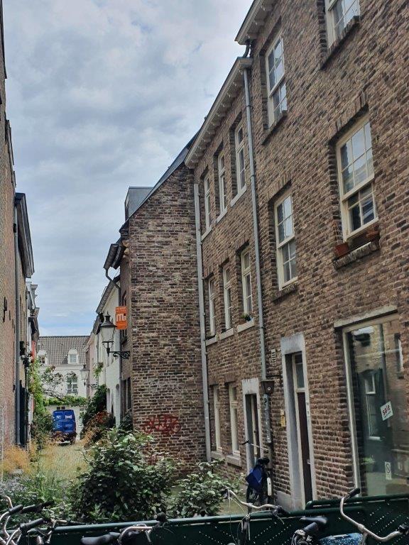
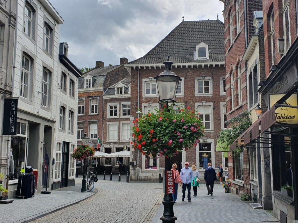
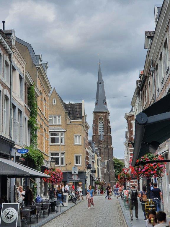
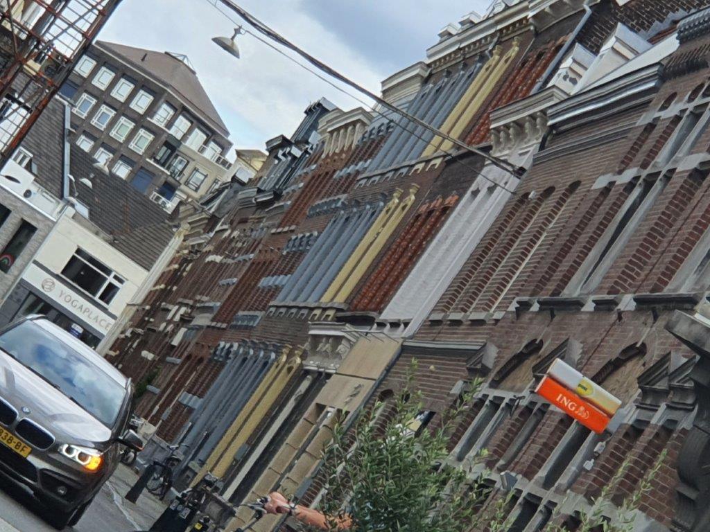
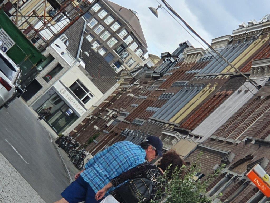
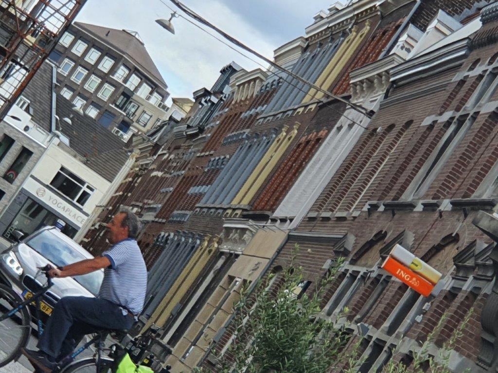
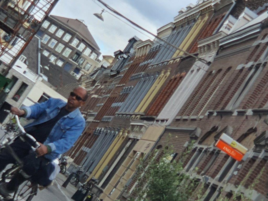
I just love making random pictures of streets and people passing by. What better way to catch the vibe of an area…
There are loads of shops, restaurants and cafés at the Wycker Brugstraat and Stationstraat so you can grab a bite or have dinner before taking a train back home.
![]() Follow the Wyckerbrugstraat and later the Stationstraat straight ahead until you reach the end of this city walk at Maastricht Centraal Station.
Follow the Wyckerbrugstraat and later the Stationstraat straight ahead until you reach the end of this city walk at Maastricht Centraal Station.
Have a great further stay in Maastricht and if you liked this city walk blogpost than read my upcoming blogposts about Maastricht too.


