Dutch Mountain Trail Walk 5: Of Murder crosses, Death wires & Language battles – Gulpen-Voerstreek-Herve Country
Next sections of The Wandelgek’s Dutch Mountain Trail (DMT) were non solo travel.
After a last night at De Zwarte Ruiter, The Wandelgek had breakfast. The female innkeeper told us about the history of De Zwarte Ruiter and of the Mestreechs Aaijt beer which they still brewed. More info about that can be found in my previous blogpost: Dutch Mountain Trail Walk 4: Vijlen – Gulpen: Of Black Riders and Railroad Switchmen
She then pointed at some brewing kettles and barrels that stood in a separate room. She asked whether we were interested in having a closer look and of course we were…DUH🙃. What followed was quite impressive. She showed us the half finished brew of the Mestreechs Aaijt and after climbing a stair towards the top of a brew kettle and opening a hatch, The Wandelgek could smell the subtle sourness or better the rinceness of the maturing beer.
After tasting a bit of the half beer, which already tasted quite good, The Wandelgek took his backpack on his shoulders, checked out and thanked the innkeepers.
Then he walked out towards the large provincial road running through the village of Gulpen and followed it to the east where crossed the DMT trail where it ascended on the Gulperberg…
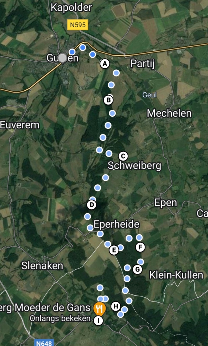
The DMT section map:
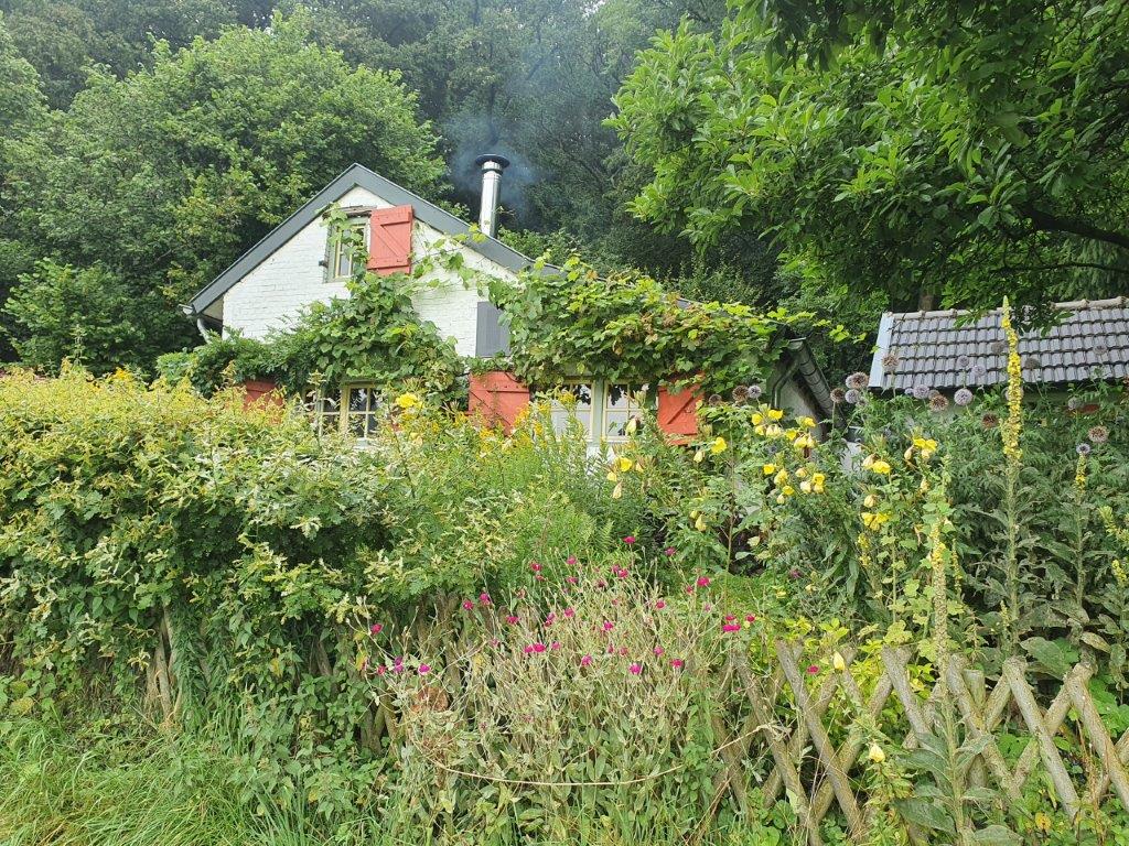
…past some beautiful cottage like homes with beautiful wild gardens…
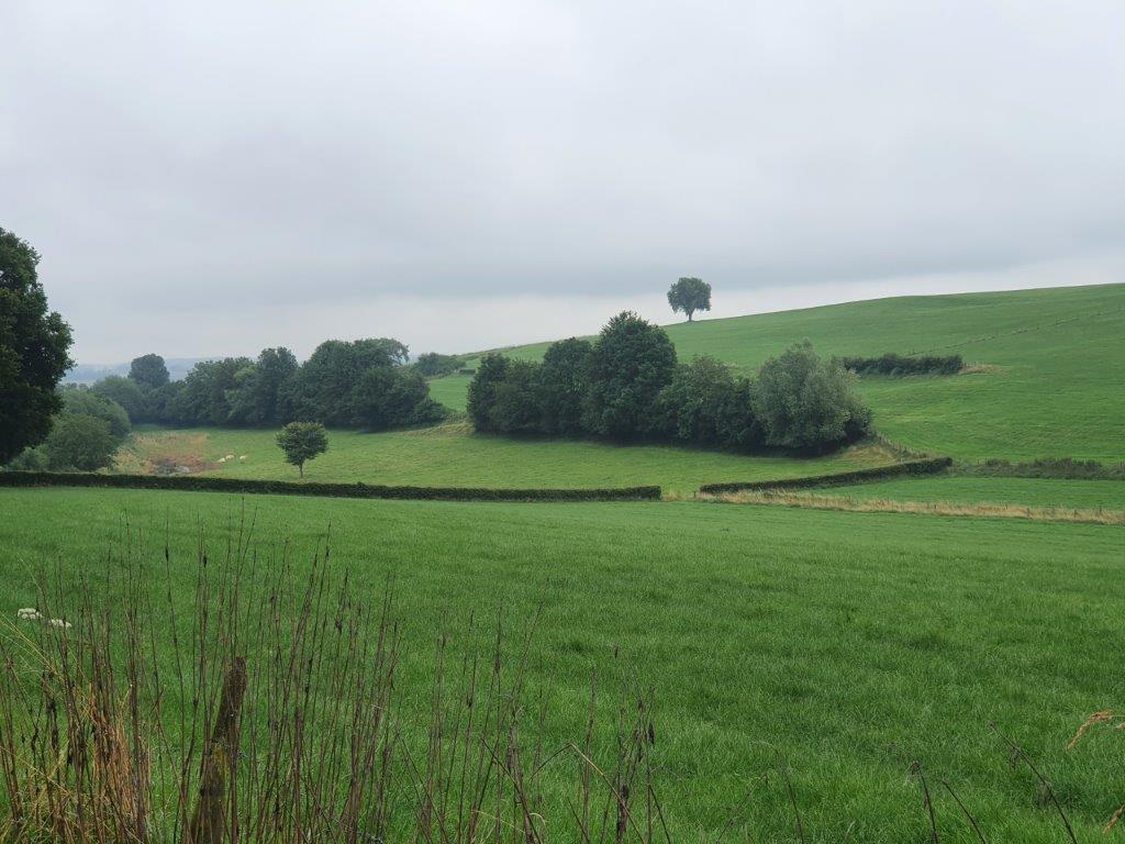 …and joined the Dutch Mountain Trail just after where it descended from the Gulperberg (see the previous blogpost (Dutch Mountain Trail Deviation: The Gulperberg – Summit number 4) for the Gulperberg climb)at the “De Bek” farm building.
The trail now headed straight south again towards the Belgian border. At 1st it ascended into the Dunnenbosch (or Dunnenbos).
The Dunnenbos & Schweibergerbos
The Dunnenbos, also written as Dunnenbosch, is a forest area in the municipality of Gulpen-Wittem in the Dutch province of Limburg. The hillside forest is located northwest of Mechelen, southwest of Party-Wittem, southeast of Gulpen and east of Berghem. It lies on a northern spur of the Crapoel Plateau, which has another spur in the northwest with the Gulperberg. There is a small valley between the two foothills. The Dunnenbos lies on the eastern slope of that little valley, on the western slope of the spur.
The Schweibergerbos, also written as Schweibergerbosch, Schweiberger Bos or Schweiberger Bosch, is a forest area in the municipality of Gulpen-Wittem in the Dutch province of Limburg. The forest is located west of Mechelen and Overgeul, northwest of Schweiberg en Dal, north of Bissen and east of Crapoel. It is located on the western valley wall of the Geul, on the eastern edge of the Plateau of Crapoel, and is partly a slope forest. To the east of the forest rises the Landeus. On the north side, the forest turns into the Dunnenbos. On the west side, on the other side of a narrow field, lies the Wagelerbos. In the southwest lies the Kruisbos. In the southwestern part of the forest is the golf course of De Zuid Limburgse Golf- en Countryclub Wittem. On the edge of the forest is Groeve Bissen.
On the south side, the forest changes into the Schweibergerbos. To the southwest, on the other side of a narrow field, is the Wagelerbos.
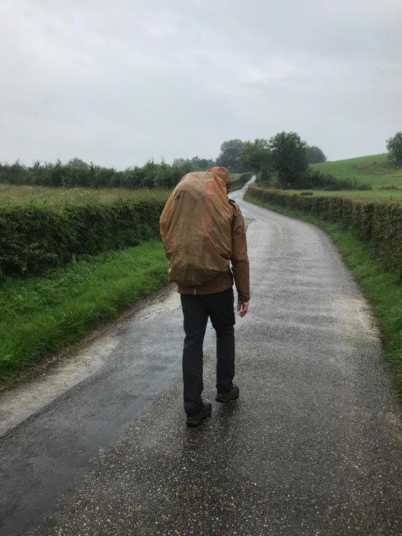
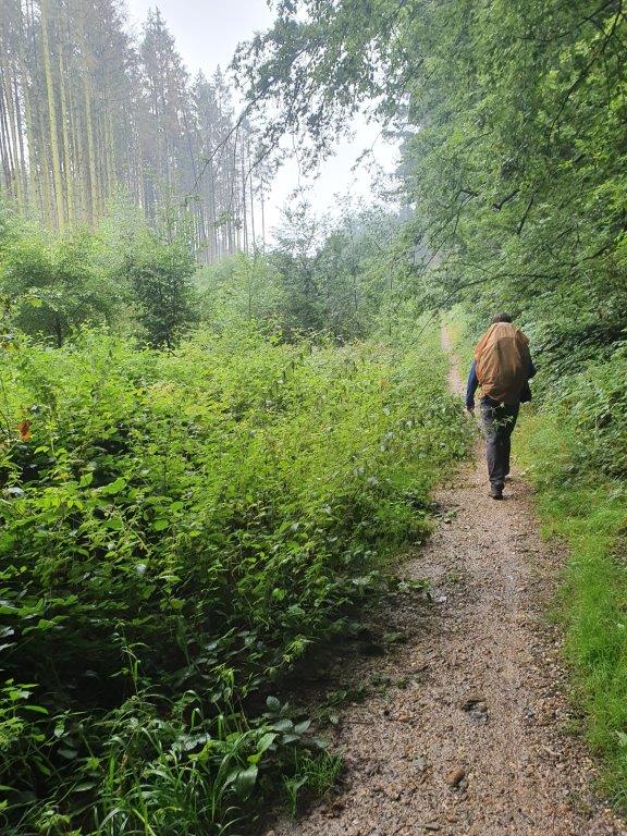
The rains got heavier…
The Murder Cross
In a previous blogpost named: Dutch Mountain Trail Deviation: Wine estate walk 2 about religion in the south of The Netherlands, wine and cement , I described the different types of road and field crosses that are found all over the province. A murder cross however is a special one. Murder or kissing crosses were placed as an additional penalty in the context of a judicial conviction for murder or manslaughter.
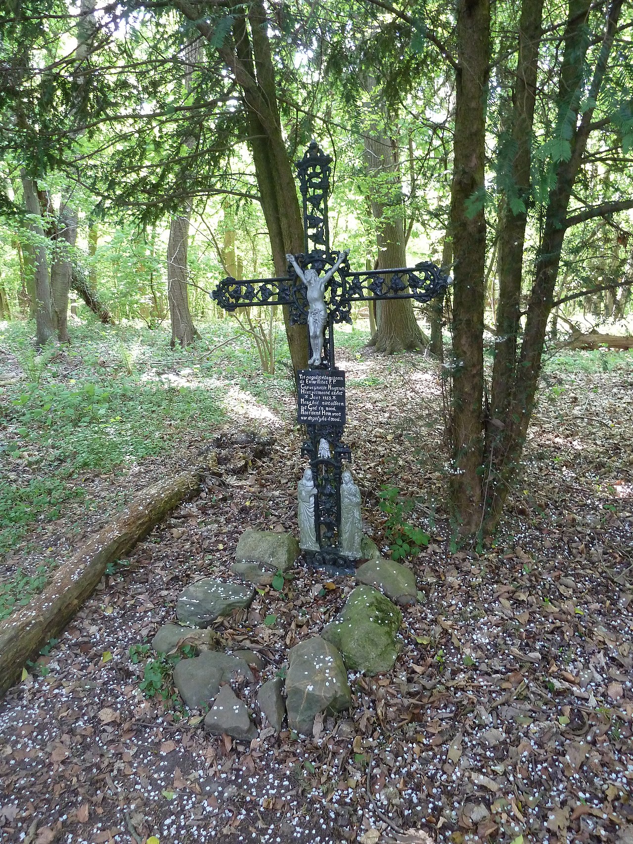
In the Dunnenbos, where it already changes into the Schweibergerbos, there is a murder cross between the trees. The cast iron cross with corpus is hidden in the woods 10 meters from the eastern path to which a narrow path leads, at the coordinates 50° 48′ 0″ N, 5° 54′ 14″ E.
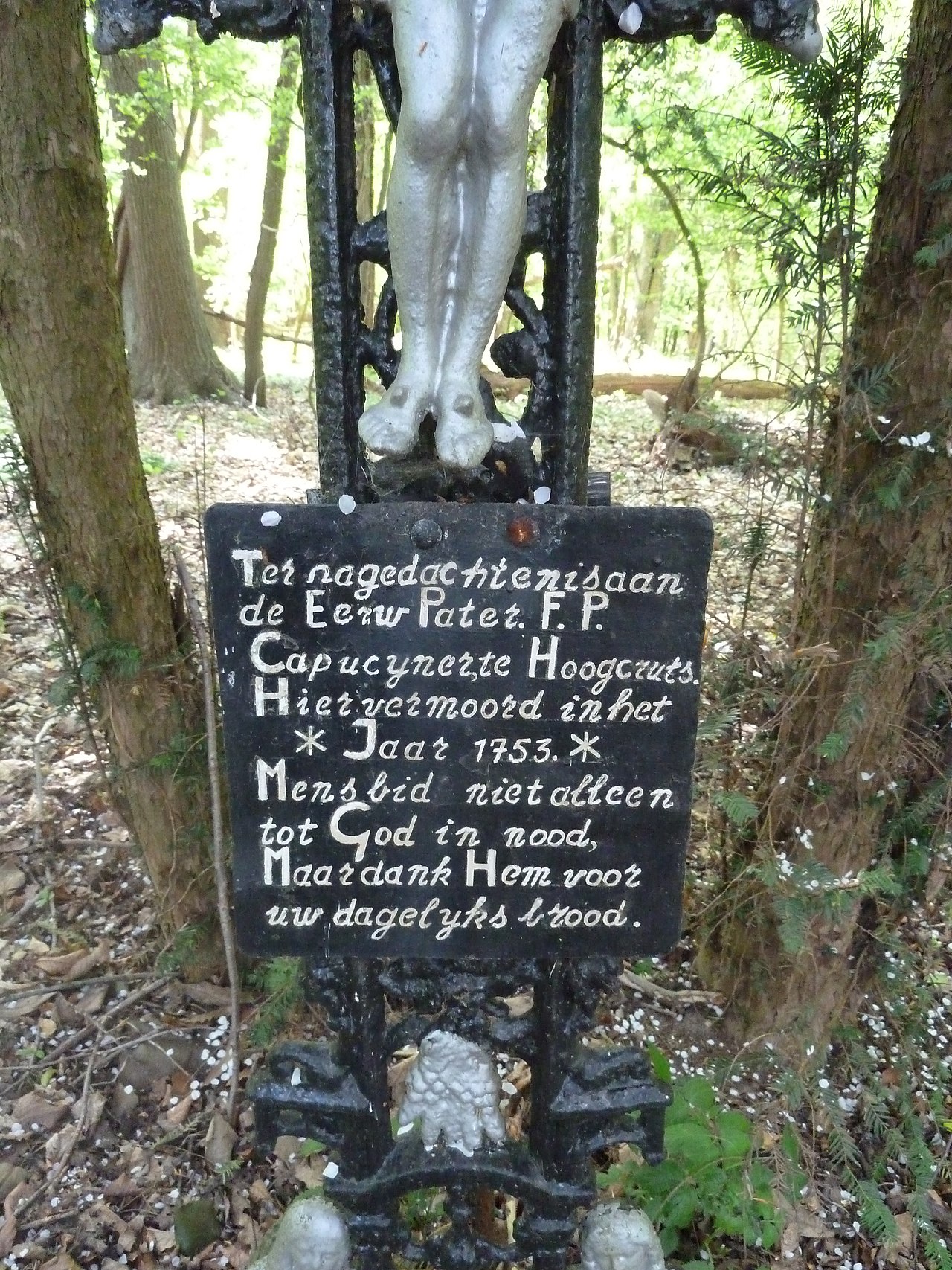
The text on the cross reads:
“Ter nagedachtenis aan de Eerw Pater F.P. Capucijner, te Hoogcruts Hier vermoord in het * Jaar 1753. * Mens bid niet alleen tot God in nood, Maar dank Hem voor uw dagelijks brood.”
This translates in English to: In memory of the Rev. Father F.P. Capuchin, at Hoogcruts Murdered here in the * Year 1753. * Man do not only pray to God in need, But thank Him for your daily bread.
At that time, the Monastery of Hoogcruts was not a Capuchin monastery, but a Sepulchrine monastery. Probably F.P. was on the way home to the Capuchin Monastery in Wittem, after a visit to the canons in Hoogcruts. The murderer must have been known and convicted because one of the penalties for his conviction as a murderer was the placement of this cross.
Much later in the 18th century this area was kept unsafe for wealthy travellers by robber gangs called the Buckriders (people in these roman catholic areas tended to connect evil to the devil, which was often depicted as a Buck).
After leaving and descending from the Schweibergerbos, the trail followed the wide vale of the river Geul, which is the 2nd largest of river in South Limburg, 2nd only to the river Maas which The Wandelgek would visit almost at the end of the trail. The trail went through the tiny hamlet of Bissen and kept close to the hillsides where the Kruisbos/Kruisbosch was.
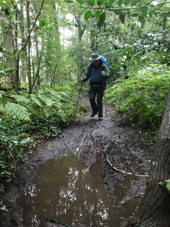
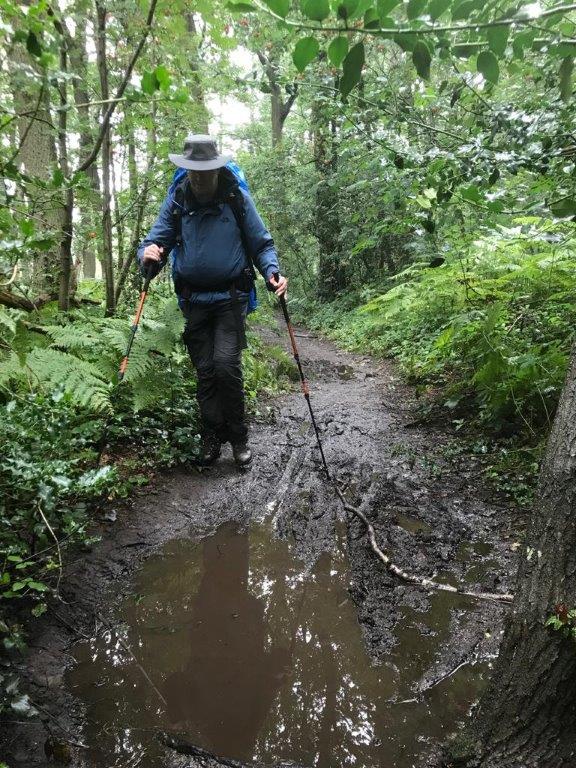
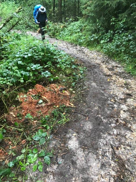
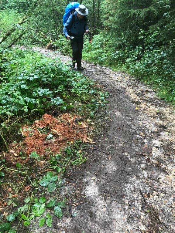
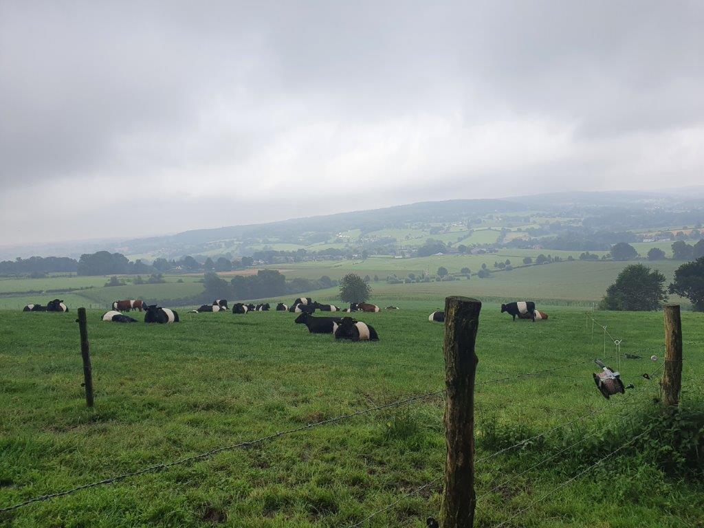 This was actually the trail day with the worst weather, but still it was nothing compared to the heavy rainfall and floods of a few weeks earlier…
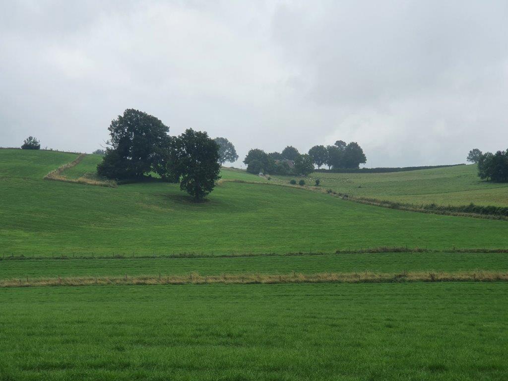
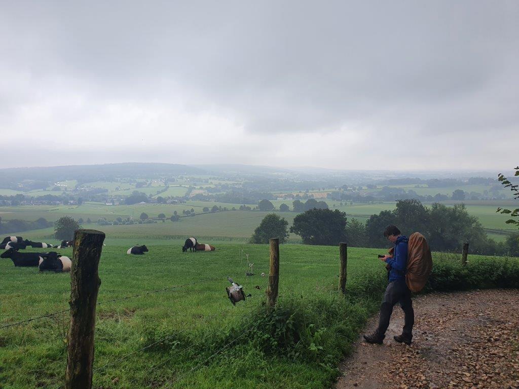
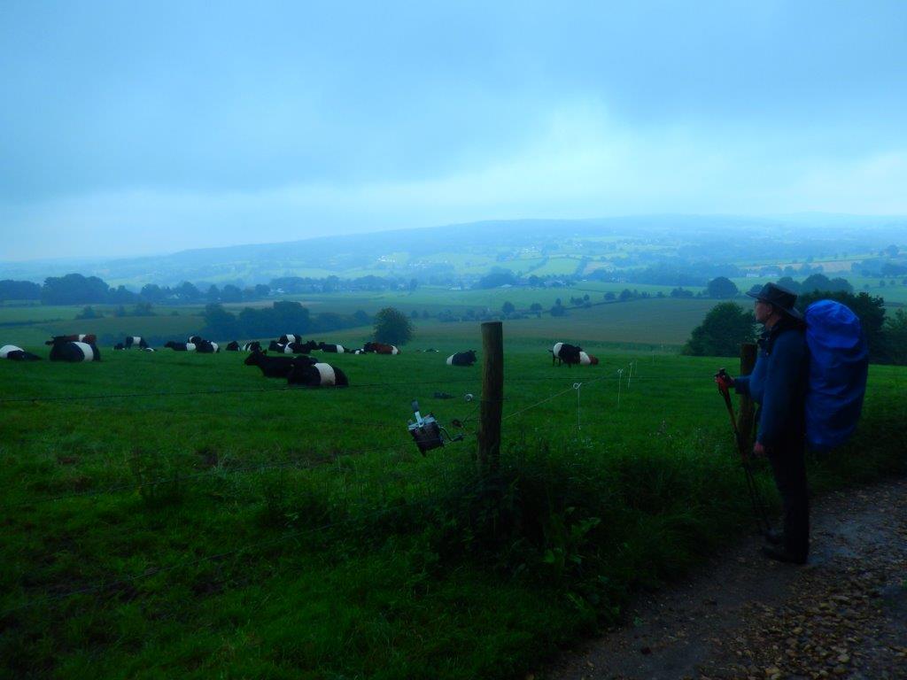
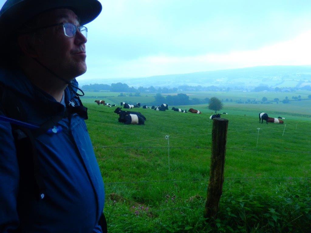
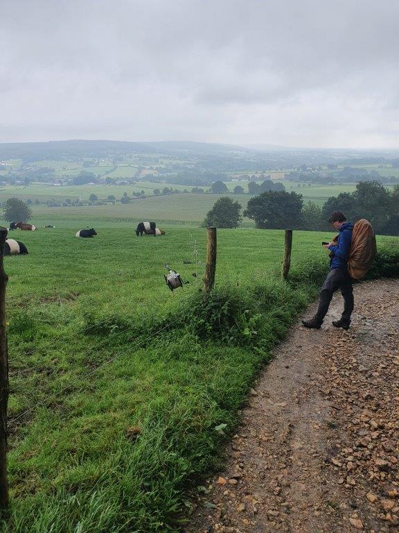
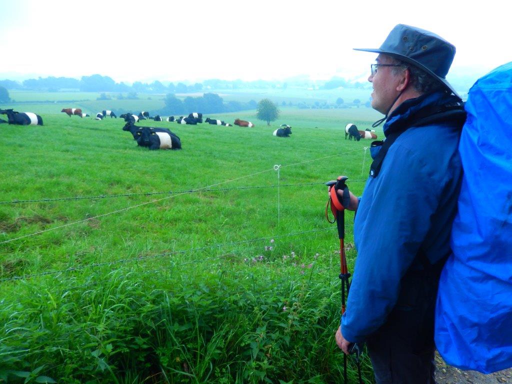
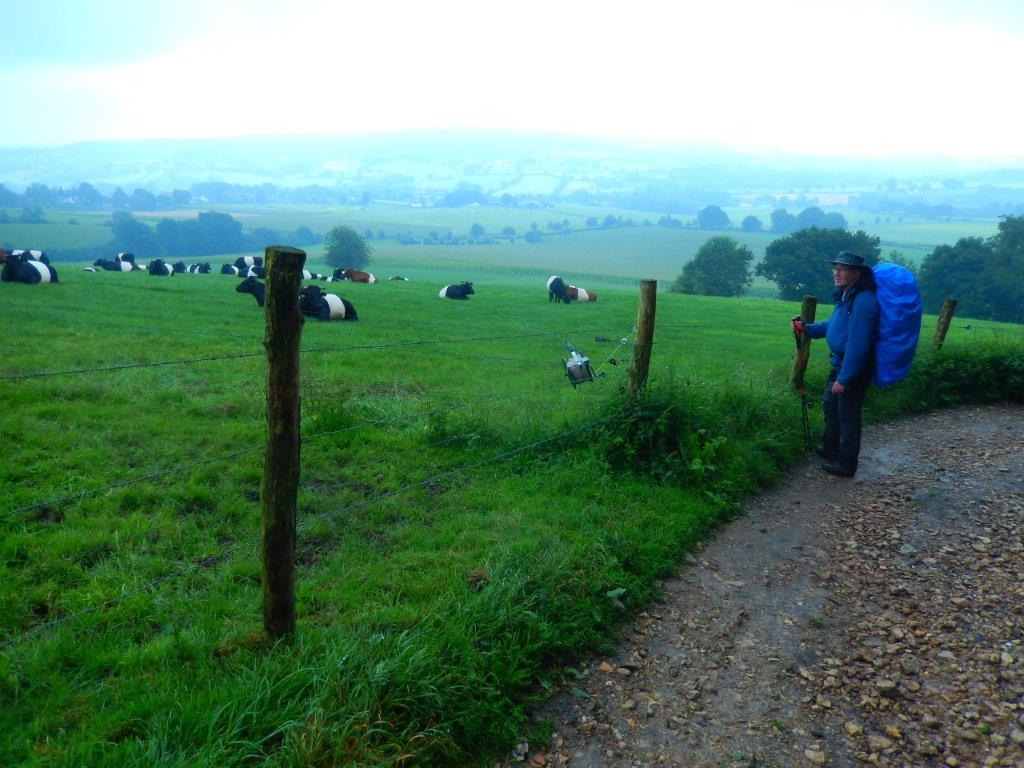
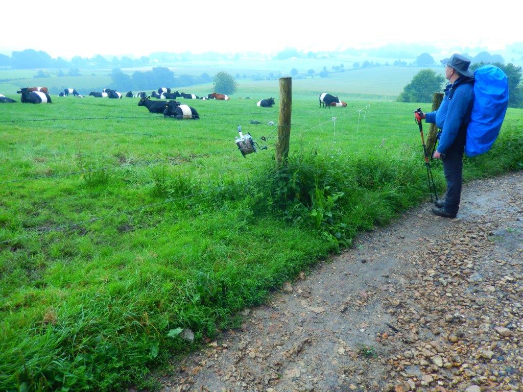
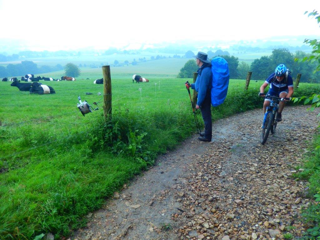
The Lakenvelder (seen in the field on the pictures above and below) is a Dutch and German breed of dairy cattle.
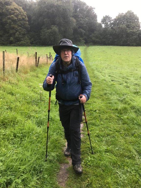
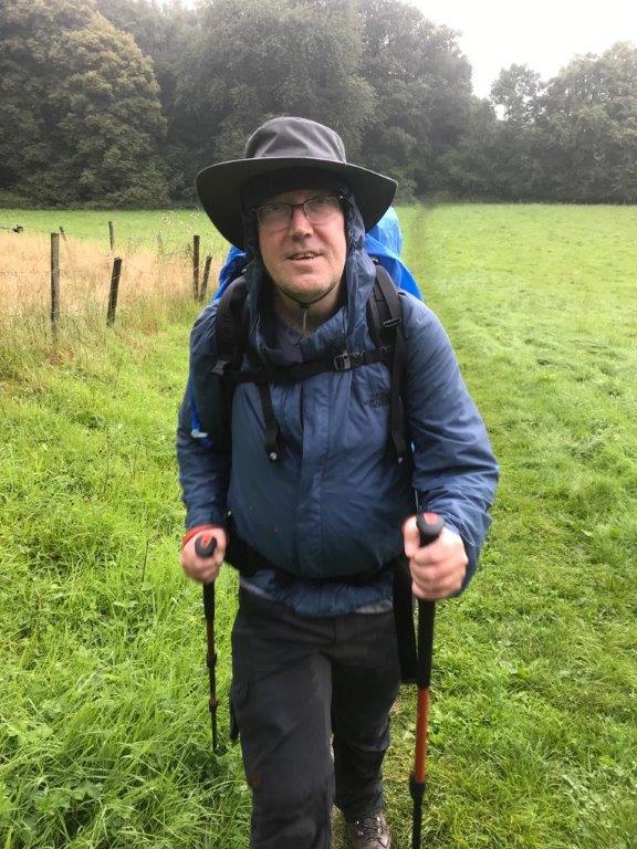
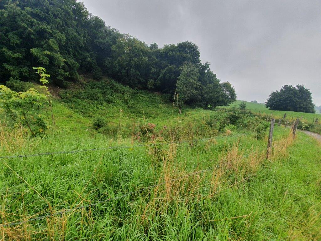
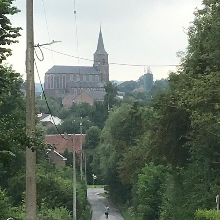
Regardless of the slight fog and the rain, the views were really great…
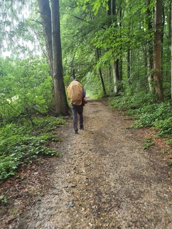
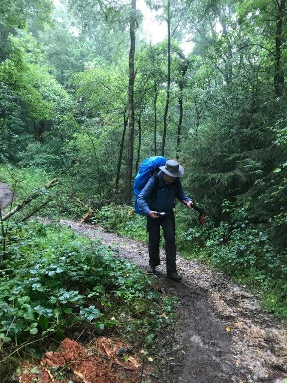
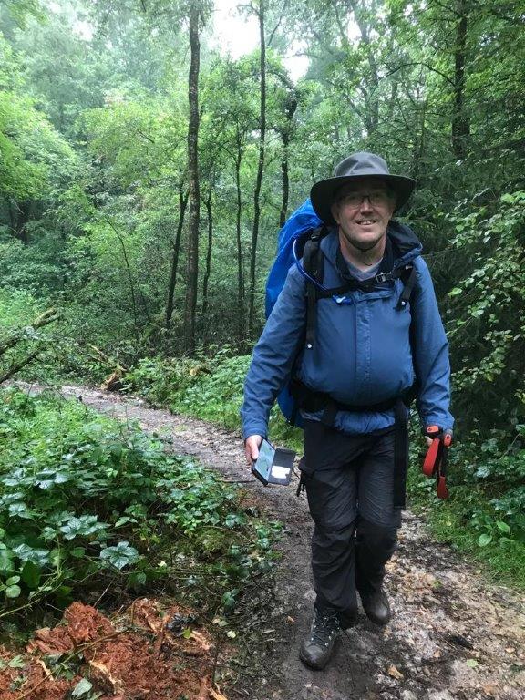
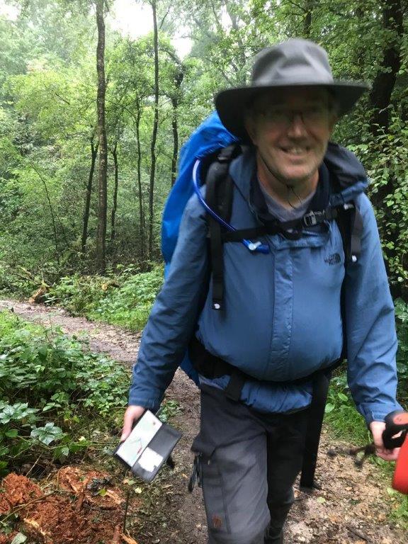
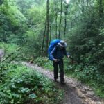
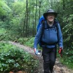
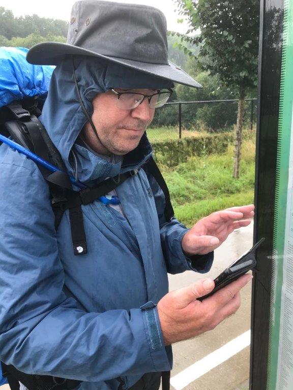
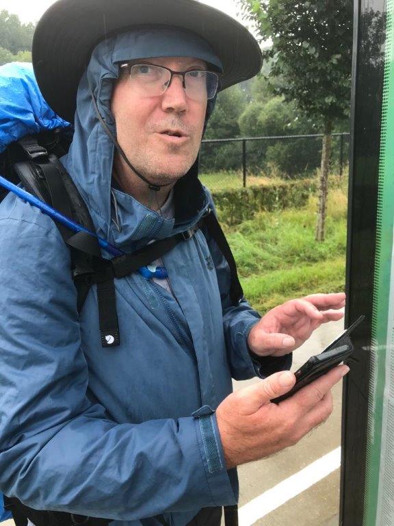
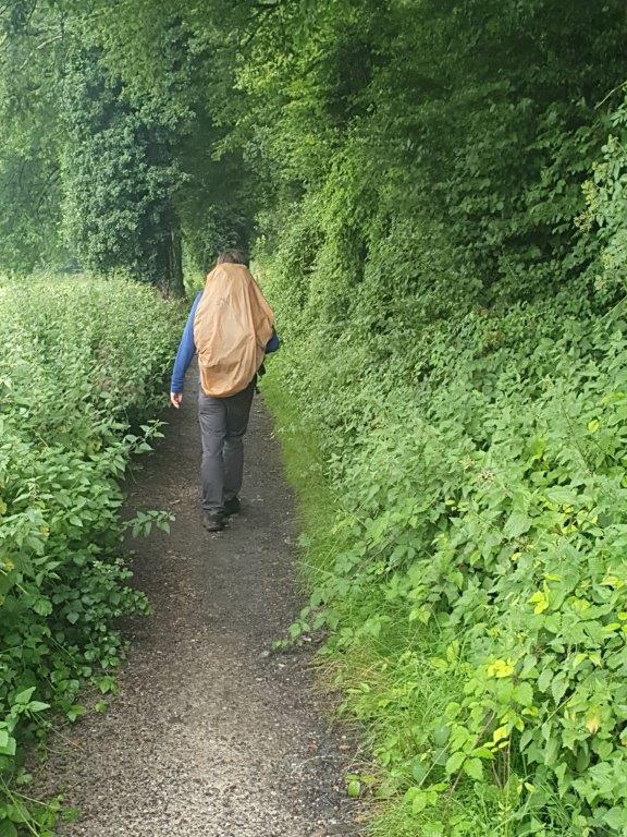
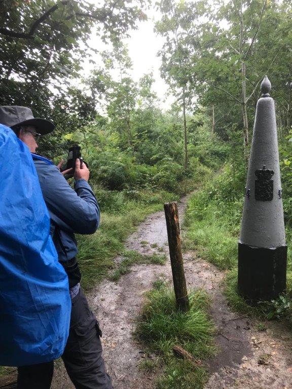
It is actually quite nice to have someone walking and talking with you who can also function as an outdoor walking model for photography and as a spare photographer, instead of always having to use a selfie stick or a self timer 😀
After the Kruisbos the trail started to ascend towards “De Molt”, until it crossed the Schweibergerweg and subsequently the Julianastraat which goes east towards Eperheide and ultimately to the village of Epen.
In the forest we met some walkers in opposite direction. After a short greeting and exchange of geographic location information, we got into a conversation where they admitted being policemen, regularly doing walks like this. They ones received as a gift some English police uniforms and caps and decided to walk wearing those, which instigated a large number of curious reactions from other walkers.
The trail however kept going south, though some meadow…
…entering the:
Onderste Bos
Het Onderste Bosch,also written as Onderste Bos (the lower forest), is a forest area in the municipality of Gulpen-Wittem in the Dutch province of Limburg. The forest is located southeast of Heijenrath, south of Eperheide, southwest of Epen and west of Diependal. It is located on the western valley wall of the Geul, on the eastern edge of the Plateau of Crapoel, and is partly a slope forest. Lower on the slopes rise east of the forest the Fröschebron, the Platergrub and the Dorphoflossing. In the north is on the other side of the road De Molt and in the south the forest turns into the Bovenste Bosch (the upper forest). To the west of the forest is the border with Belgium where fields and meadows are located on the plateau. To the east of the forest lies the Geuldal, where the tributary Terzieterbeek flows. On the northeastern edge of the forest lies the Cretaceous Rock of Heimans.
The Cretaceous Rock of Heimans
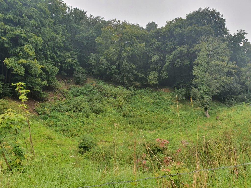
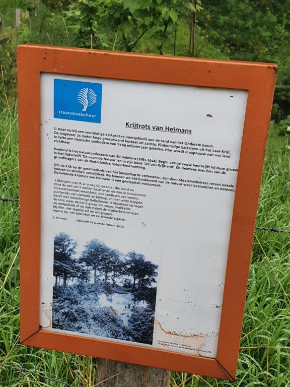 The Cretaceous Rock of Heimans, also referred to as Epener limestone rock, is a Limburg marl quarry (marl pit) and geological monument in Dutch South Limburg in the municipality of Gulpen-Wittem. The former opencast quarry is located southwest of Epen and southeast of Eperheide. The quarry is located here high in the western valley wall of the river Geul in the Geuldal and is located on the eastern slope of the Plateau of Crapoel on the northeast side of the Lower Bosch. The limestone wall of the quarry has a height of about 25 meters. The quarry and limestone rock is named after Eli Heimans, one of the founders of nature conservation in the Netherlands.
History
 Geology
In the quarry there is limestone from the lower part of the Gulpen Formation. This is a soft fine-grained limestone that was deposited on the seabed here about 73-69 million years ago. The Cretaceous Rock of Heimans is a belemnite cemetery.
As seen on the pictures above, the cretaceous rock formation is almost overgrown by greenery and trees.
Next the trail enters into the…
Bovenste Bos
Nature
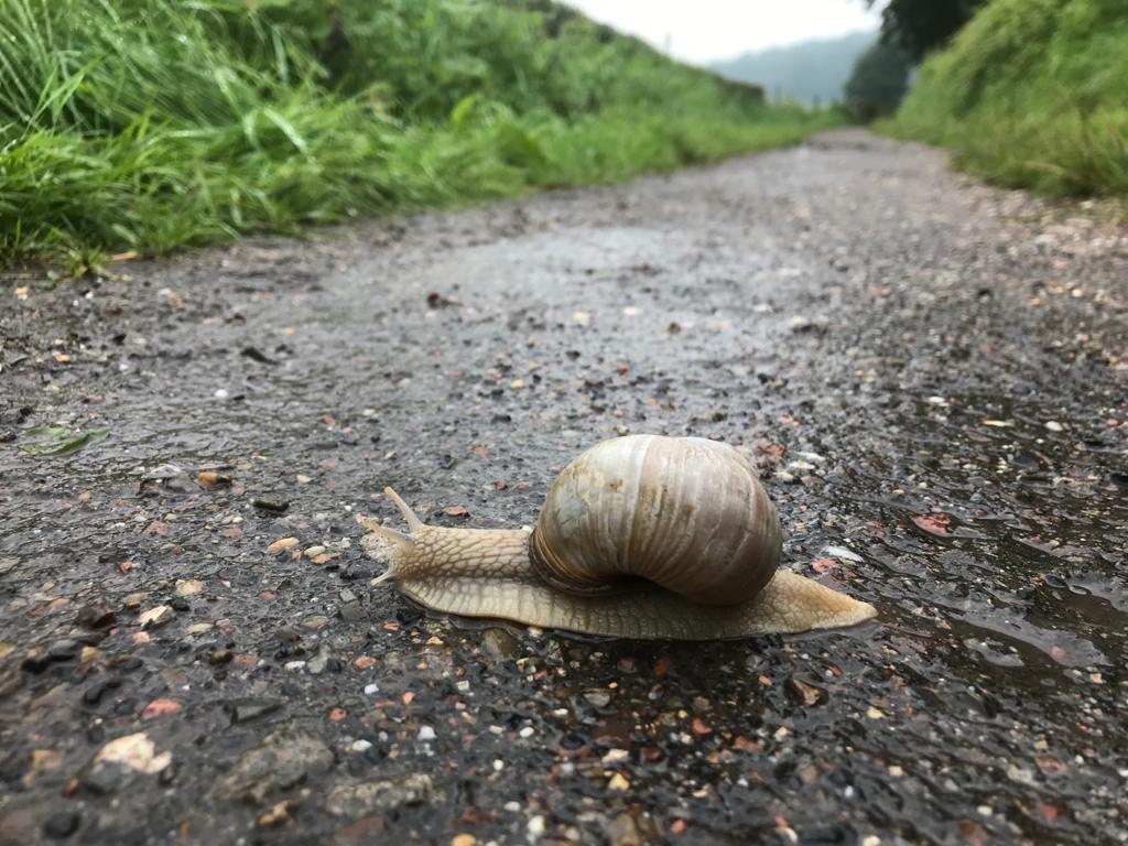
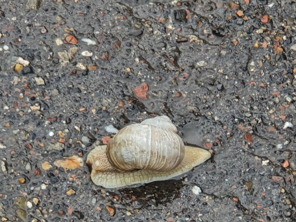
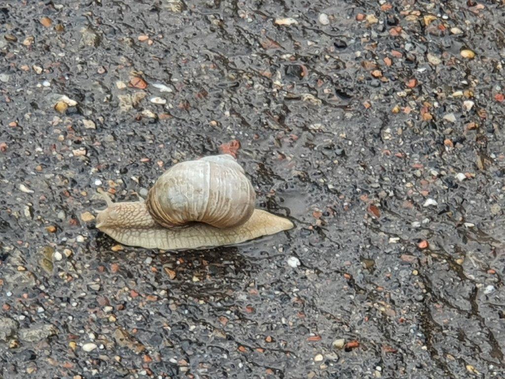
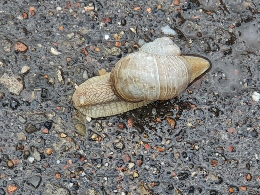
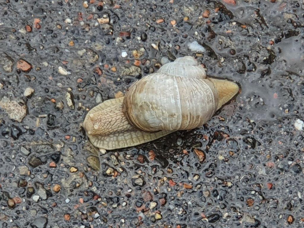
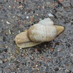
Another animal that gets quite active when rain showers flog the country is the snail. Why doesn’t he take shelter in his home instead? Ah… the mysteries of nature 😉
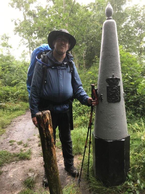
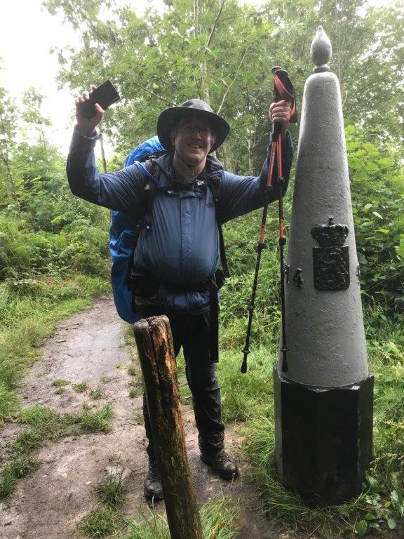
Finally we ascended through the Bovenste Bosch and reached the Dutch-Belgian border and entered the Dutch speaking Voerstreek…
Nowadays it’s really a piece of cake to walk accross the border into Belgium, but during the 1st Word War, this was an extremely dangerous undertaking…
The Death Wire
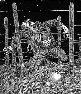
The Wire of Death (Dutch: Dodendraad, German: Todesdraht, French: Fil De La Mort) was a lethal electric fence created by the German military to control the Dutch–Belgian frontier after the occupation of Belgium during the First World War.
The Wire, also called Dodendraad or Dodenhek, was a 332-kilometer long wire barrier constructed by the German occupiers of Belgium during World War I along the border between occupied Belgium and the neutral Netherlands. In German records, the barrier was officially referred to as Grenzhochspannungshindernis. The barrier was under deadly electrical voltage and was supposed to prevent war volunteers and German deserters from fleeing Belgium. The fencing also had to prevent espionage messages reached allied espionage services from occupied territory via the Netherlands and had to stop smuggling. The Thread is estimated to have cost the lives of many hundreds of people, but was unable to prevent thousands of people from crossing the border in various ways. After the war, the death fence was quickly demolished.
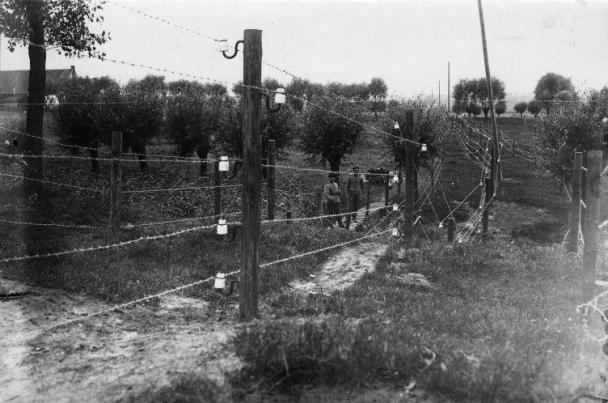
The Threads of Death. Barbed wire (barbed wire under power) on the Belgian border during the First World War (WW I) at Sluis in Zeeland.1915.
The name ‘Wire of Death’ is an English rendition of one of its popular Dutch names, Dodendraad, which literally means “Deathswire”. As the war continued and more and more victims fell to the electric fence it became known as simply De Draad meaning “The Wire”. To the German authorities it was officially known as the Grenzhochspannungshindernis (“High Voltage Frontier Barrier”). Parallels have been made between the ‘Death Wire’ and the later Iron Curtain.
As Germany invaded neutral Belgium, Belgians began to cross the border to the Netherlands en masse. In 1914 one million Belgian refugees were already in the Netherlands, but throughout the war, refugees kept coming and tried to cross the border. Many wanted to escape German occupation, others wanted to join their relatives who had already fled, and some wanted to take part in the war and chose this deviation to join the forces on the Western Front.
Construction began in the spring of 1915 and consisted of over 200 km (125 mi) of 2,000-volt wire with a height ranging from 1.5 to about 3 m (5 to about 10 ft) spanning the length of the Dutch-Belgian border from Aix-la-Chapelle to the River Scheldt. Within 100–500 m (110–550 yd) of the wire, anyone who was not able to officially explain their presence was summarily executed.
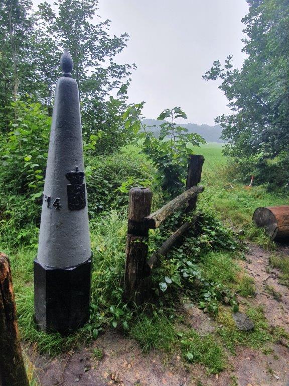 This was also at the summit of the 5th of the 7 summits of the Dutch Mountain Trail, which was carrying the name: Hakkenberg. YAY!!!
We now entered:
De Voerstreek
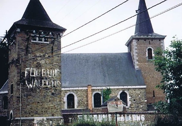
In the Belgian Voerstreek (Voer region), a language battle raged, especially in the sixties, seventies and eighties of the twentieth century.
The six villages along the rivers Voer and Gulp became the subject of politically heated language debates in those years. The transfer of the region from the Walloon province of Liège to the Flemish province of Limburg when the language border was established in 1963 resulted in political squabbles that regularly took on a national dimension in the 1980s and led to the fall of the federal government in 1987.
More pictures: Walk 4: Abbaye de Val Dieux – St.-Jean-Sart – St.-Pieters-Voeren – St.-Martens-Voeren – Noorbeek – Slenaken – Heijenrath (16,5km)
The Wandelgek had walked in this area before, e.g. in 2000.
It had been raining almost all day and we had advanced less than planned. It became clear that the planned trail distance to Sint Martensvoeren as well as the trail deviation south via Sint Pietersvoeren to Aubel, was not a feasible distance and way too optimistic. So after some discussion we decided to descend from the Hakkenberg and then deviate from the trail towards the village of Teuven, to have a drink and to try and get us a cab to reach the overnight stay address. Actually we were quite long in doubt whether to continue to De Planck at the Belgian-Dutch Border, or even to Sint Martensvoeren or to stop in Teuven, because we were not sure how well the Belgian cab services were (not their service was in doubt but our understanding og the French language). But an encounter with some other walkers in opposite direction, coming from Teuven, who explained to us that there were quite some restaurants and cafes in Teuven and my knowledge of Sint Martensvoeren where I had seen none, made me choose to stop in Teuven. My walking partner agreed.
The trail went down past the Abbey of Teuven and subsequently a deviation to the left made us leave the trail temporarily to descend into the village of Teuven…
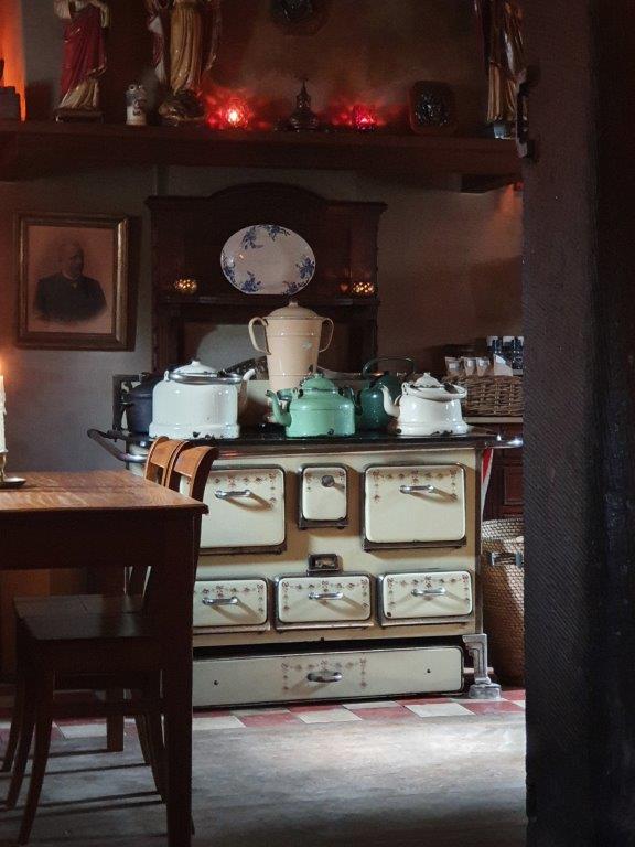
We decided to have a drink at “Moeder de Gans” (Mother Goose). Moeder de Gans has a beautiful old interior full of dark brown wooden furniture and lots of old antiqueties and flea market stuff…
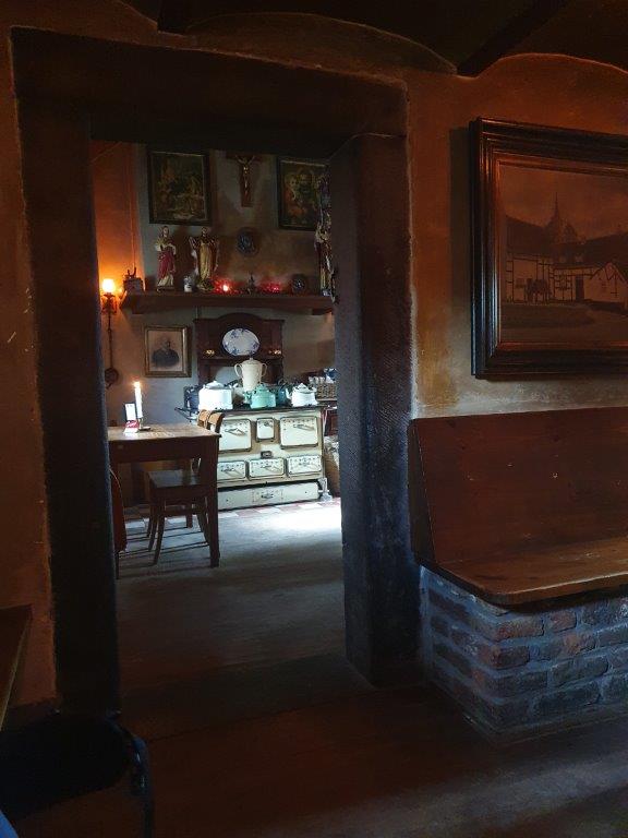 While enjoying a large Weizen beer, we tried contacting a taxi company, which was not that easy.
The internet connectivity in this border area was not that good and confusing. The mobile phone tried to connect via Belgian and Dutch providers but both had weak signals here. Most companies only had French speaking phone operators and our French is abominable. So in the end we tried a dutch taxi company and they responded positively. They agreed to pick us up and deliver us near Aubel, where I had booked a place to stay for the upcoming two nights.
When I stepped into the taxi and 1st put my backpack in the luggage compartment, I must have placed my walking poles against a wall and completely forgot them …
Luckily an employee of Moeder de Gans found them, half an hour later!, after I called them and asked them to check the wall. Now I could retrieve them when I would start walking on the DMT again (after this deviation).
This little mishap did show that in this rural area you could still leave a door or a bike unlocked without the immediate chance of being robbed or your property getting stolen as is often the case in urban areas…
The internet connectivity in this border area
Dinner in Aubel
The Wandelgek had booked a rustic cabin in an area just south of the Voerstreek. It was an accomodation that he had been before in 2005, when he travelled to Herve County and from there visited Monschau in Germany, Hasselt and Tongeren in Belgian Limburg and did some walks in The Land of Herve and through the Voerstreek to Noorbeek in Dutch Limburg. In those days he had hired a room in the main building, but now the site had different owners and they had changed things. There were no rooms, but instead a large appartment in the main building and some cabins/studios on the terrain. (These cabins/studios were being build in 2005 by the way).
We checked in in our cabin and discovered that all the restaurants in the direct vicinity (of which the restaurant at the Abbey of Val Dieu was the one where I had planned to go for dinner) were closed early because of the Covid19 situation.
But the owners were very friendly and helpfull and offered to drive us to (and pick us up after dinner) the village of Aubel where we would try to have dinner in a local restaurant.
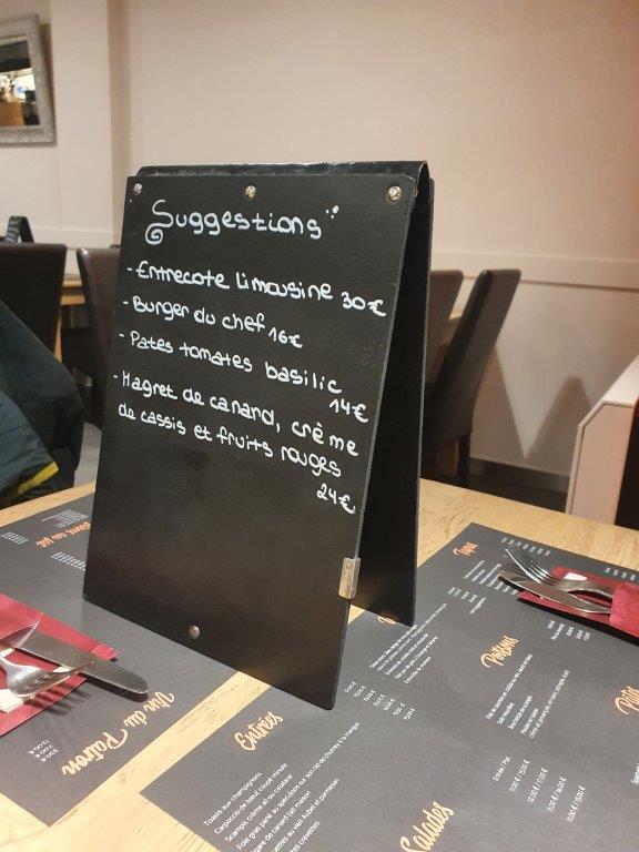
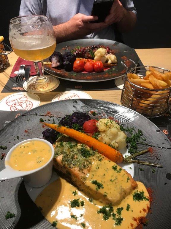
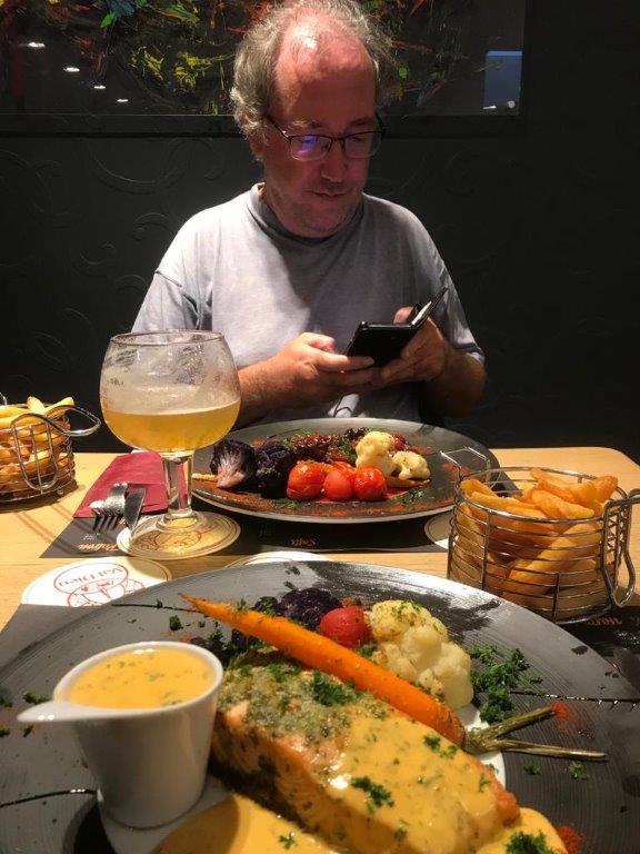
We found a restaurant: Aux deux freres which was not fully booked (although almost) and had a delicious dinner. The Wandelgek had seen te ‘suggestions’ sign…
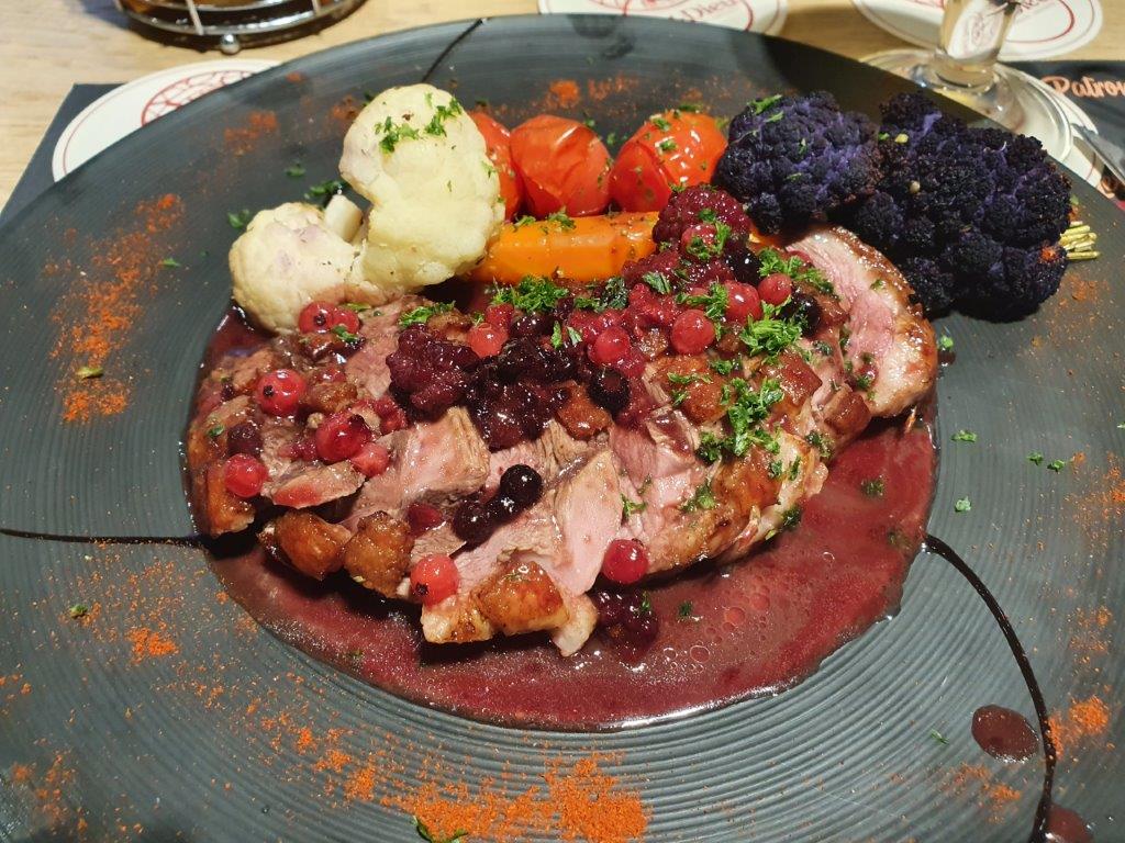
…and ordered the Magret de Canard, creme de cassis et fruits rouges:
It was the best dinner eaten by The Wandelgek in a very, very long time…
Staying at La Bushaye 1
After a really, really fantastic dinner, we were picked up again and driven back to La Bushaye.
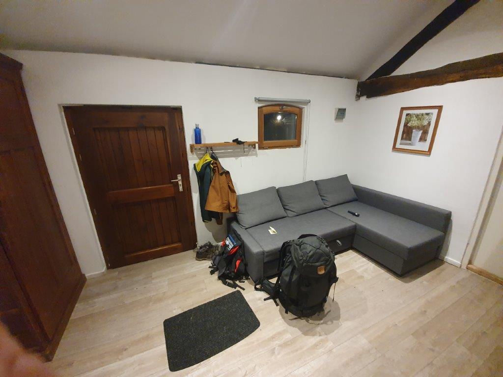
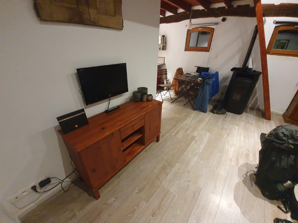
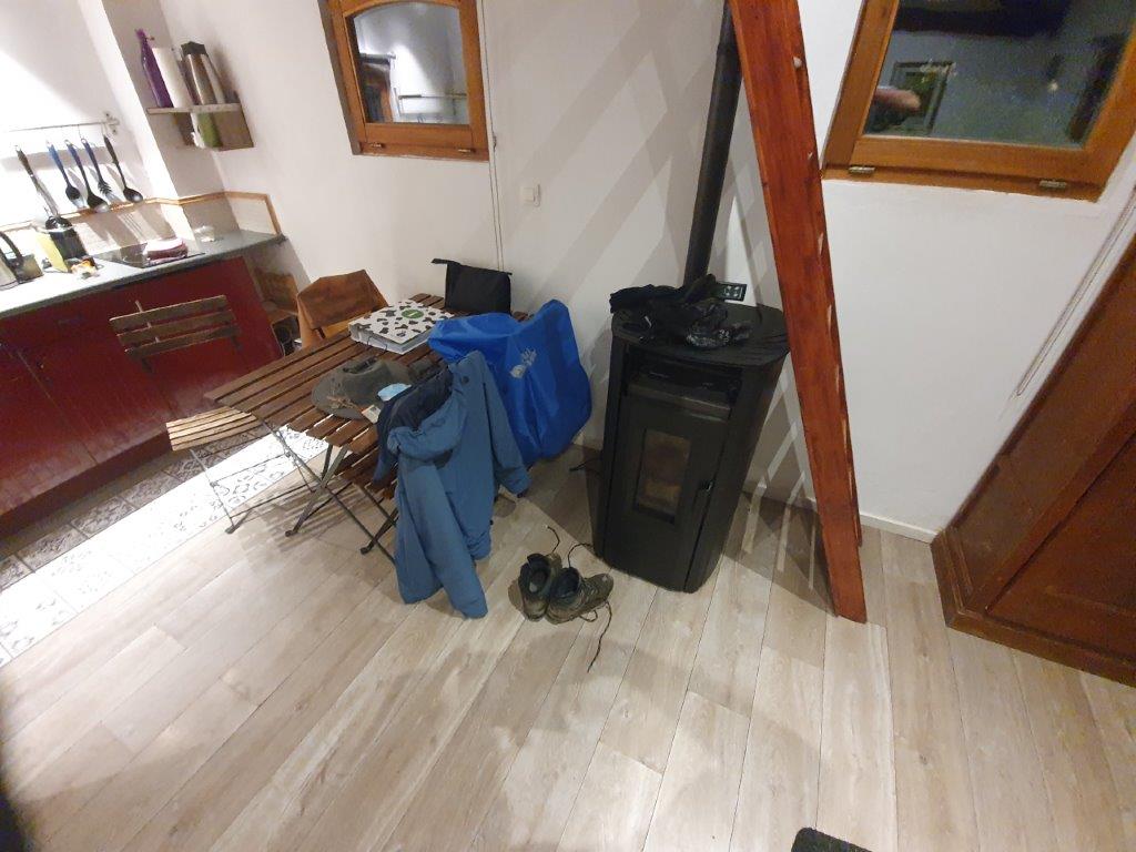
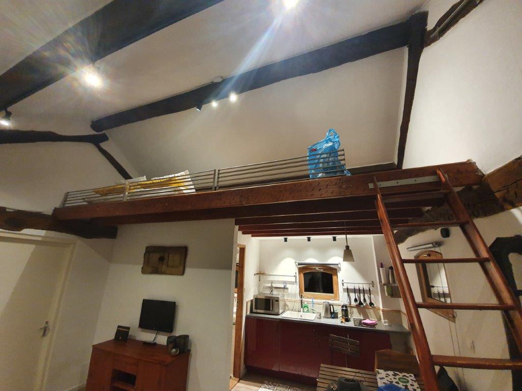
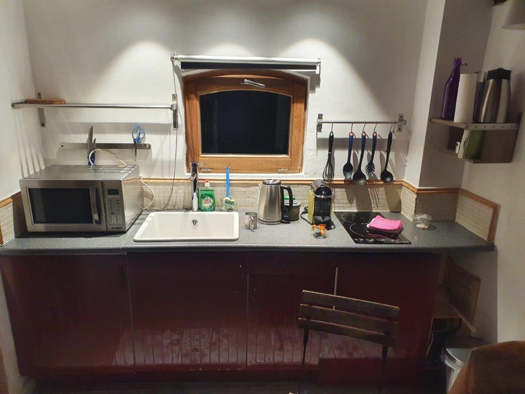
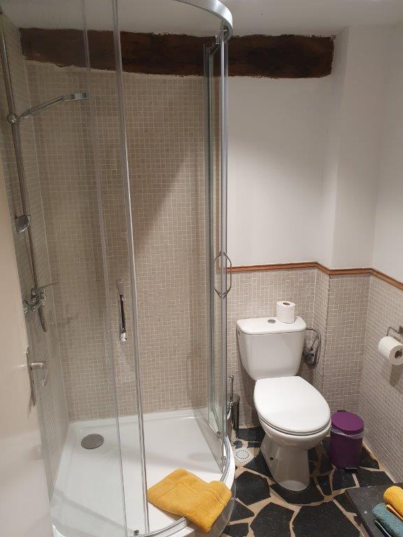
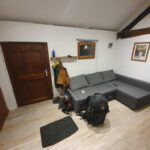
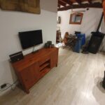
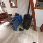
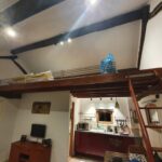
Inside the cabin/studio was great. There was a kitchen and a shower/toilet and bed on an upstairs floor underneath the roof. A large bench in the living room could be turned into a bed too.
The next day, The Wandelgek had planned a circular walk through the Land of Herve and of course a visit to the Val Dieu Abbey.
After a long walking day, it was now sleeping time…

