Dutch Mountain Trail Walk 6: Of Railroad viaducts and fruit tree orchards – Val Dieu – Eijsden
After a nice breakfast, yes including Herve cheese, it was time to leave for the next section of the Dutch Mountain Trail. We decided to start this section not in Teuven where we left the trail to visit Herve Country, but in Sint Martensvoeren. But still The Wandelgek needed to get to Teuven 1st where he could retrieve his walking poles at Herberg (tavern) Moeder de Gans at around 11 o’clock (which was one of the main reasons to skip the section of the trail between Teuven and Sint Martensvoeren). After the owner of La Bushaye helped to arrange for a cab to Teuven and further to Sint Martensvoeren, we discovered that there were some issues regarding electronic payment via a Dutch bank to a Belgian bank. Luckily I was allowed to finish the payment in retrospect after having finished my Dutch Mountain Trail walks and that went fine. We said goodbye when the taxi arrived and I have to say that my 2nd stay at La Bushaye was even better than the 1st and that I will certainly try this again. The taxi drove for a last time past the Abbey of Val-Dieu and then to Teuven where The Wandelgek was very relieved to receive his walking poles at Herberg (tavern) Moeder de Gans after which the taxi drove on to Sint Martensvoeren.
There we started our next walk on the Dutch Mountain trail.
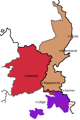
Sint Martensvoeren is one of a few villages that belong to the Dutch speaking Voerstreek, just south of the Netherlands (the smaller red colored area between the brown and puple areas).
This area, where we would walk through for almost all of the remainder of the day, had been in a very long language battle between French and Dutch speaking citizens, before peace returned after it was assigned to the Flemish (dutch speaking) province of Limburg. The map above shows how the language battle problem started. All of this was once the Duchy of Limbourg but later the red and brown areas were part of the Kingdom of The Netherlands and Wallon (the french speaking purple part was part of The Kingdom of The Netherlands too (as was the Duchy of Luxembourg and the rest of Wallon). But Belgium fought for its indepence and received this in 1839. This made Luxembourg into an independent country which lost half of its territory to Belgium. Belgium became an independent country as well and was a union between the french speacking Wallon and the dutch speaking Flanders. Some former dutch provinces now exist of parts in The Netherlands and in Belgium because of this. One of those is Limburg. The largest part of Belgian Limburg got separated from the dutch province of Limburg by a border but also from the Belgian Voerstreek and the Voerstreek was thus assigned to Wallon. But in 1963, The Voerstreek got sssigned to the Flemish province of Limburg and the Wallons living there started a revolt. What followed were battles, streetfights, shelling and lots of wounded people. For a long time, the Wallon citizens were right in wanting to stay part of Wallon, because their political party win every communal election, but as of the year 2000, the dutch speaking citizens are a majority, helped by lots of Dutch moving into the Voerstreek.
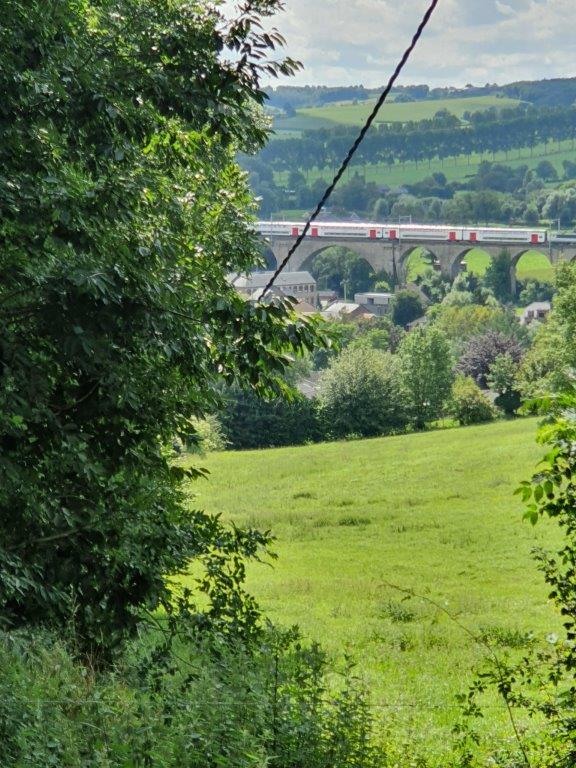
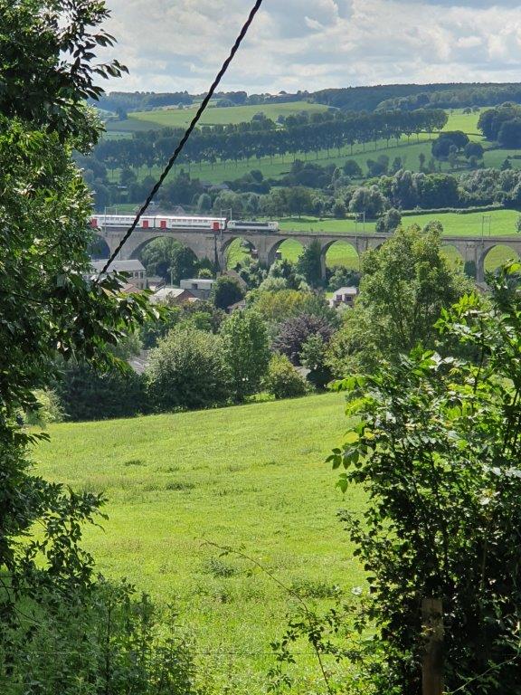
The village is overshadowed by a 23 metres high railway viaduct, which was built in World War I by the German occupiers and connects the cities of Aachen and Tongeren. It runs from Aachen via Moresnet, through a very long tunnel and subsequently through the Voerstreek to the Flemish province of Limburg where Tongeren is located.
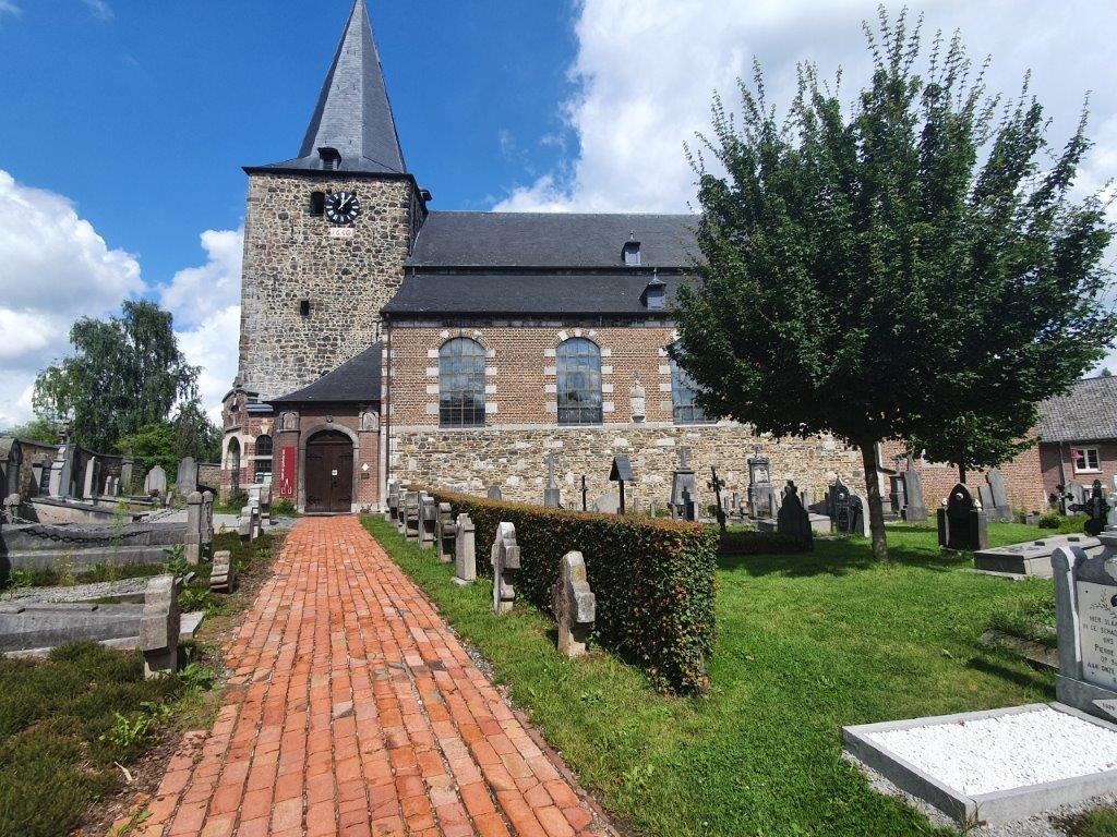
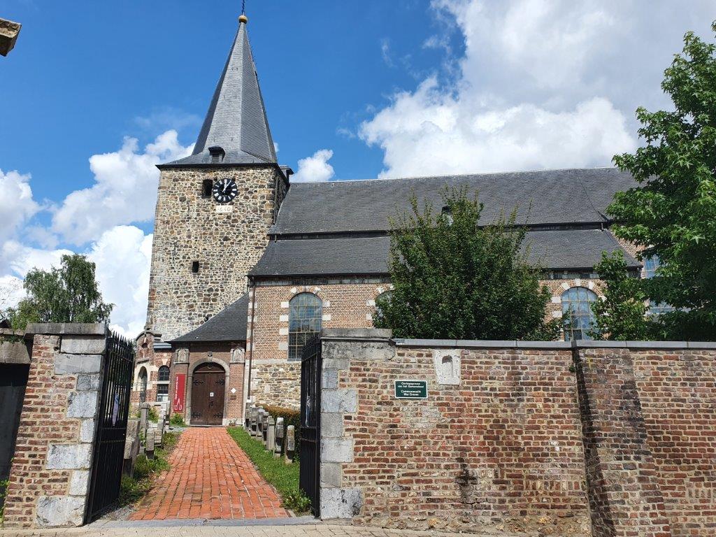
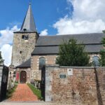
In central Sint Martensvoeren, The Wandelgek found the 13th century Saint Martin’s Church (Sint-Martinuskerk).
It seems I reached the end of my walks prematurely😂
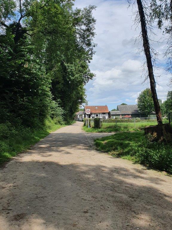
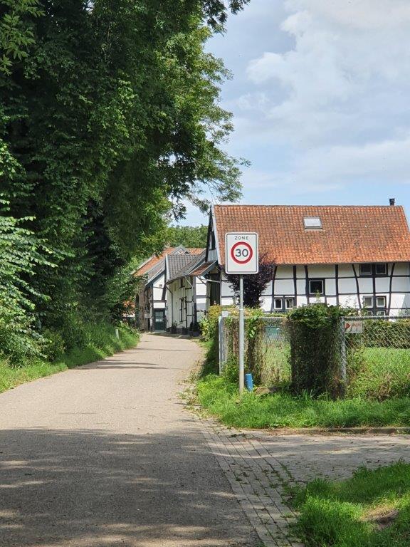
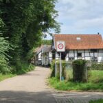
Einde is a dutch word meaning “The end”, although it is here used in the meaning of an end for motorized traffic, more comparable to places where traffic ends, like Land’s End…
The world after Einde immediately was an experience like that of Alice stepping into Wonderland🤩.
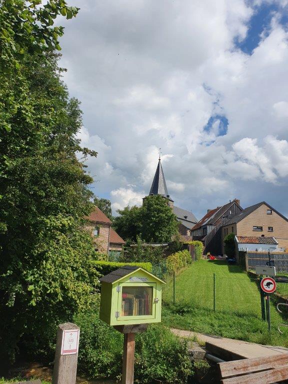
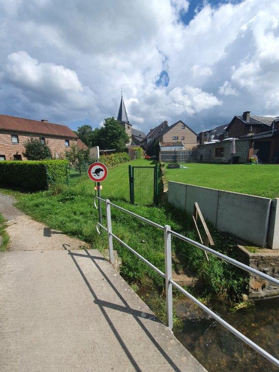
First we walked westward past Saint Martin’s Church and crossed the small river Voer, which gave its name to the Voerstreek.
After we left the church behind us…
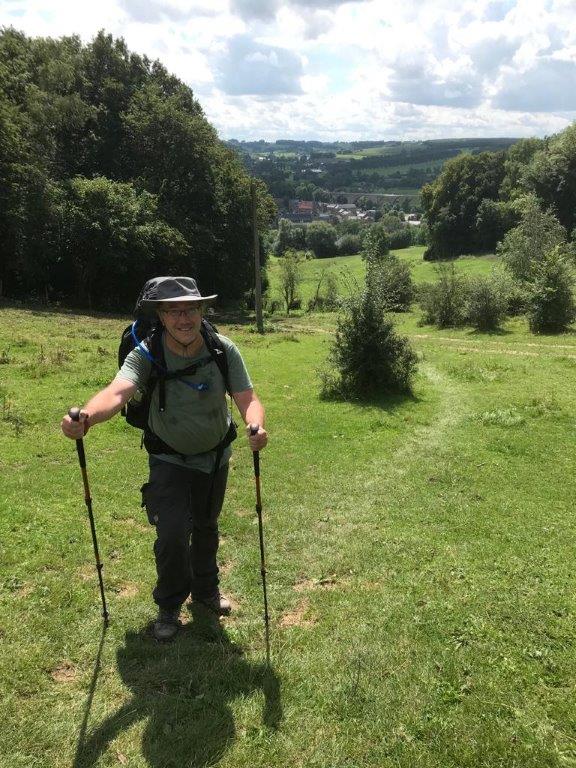
…we got to a path ascending steep towards the top of the 6th summit of the Dutch Mountain Trail, the Kattenrot.
Kinkenwegen
This kind of narrow path is actually a trade route from the past, called a kinkenweg. A narrow country road which enabled the tranportation of grain to the market of Aubel or coal from the mines to the river Maas. In the hills, tranportation of freight was enabled by using beasts of burden or humans carrying the freight. These didn’t need much more than the narrow path like the one we were now walking on, carrying our own freight 😉. These paths usually followed a route where the animals and humans would have the least resistance in travelling, avoiding hill ridges as much as possible, but sometimes, like here on Kattenroth, this could not be avoided. In such cases a Kinkenweg took the shortest and often steepest route to overcome that hill ridge. Only after 1815, when King Willem I ruled, the network of roads saw vast improvements.
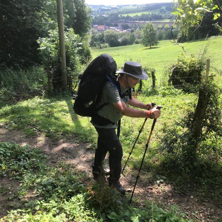
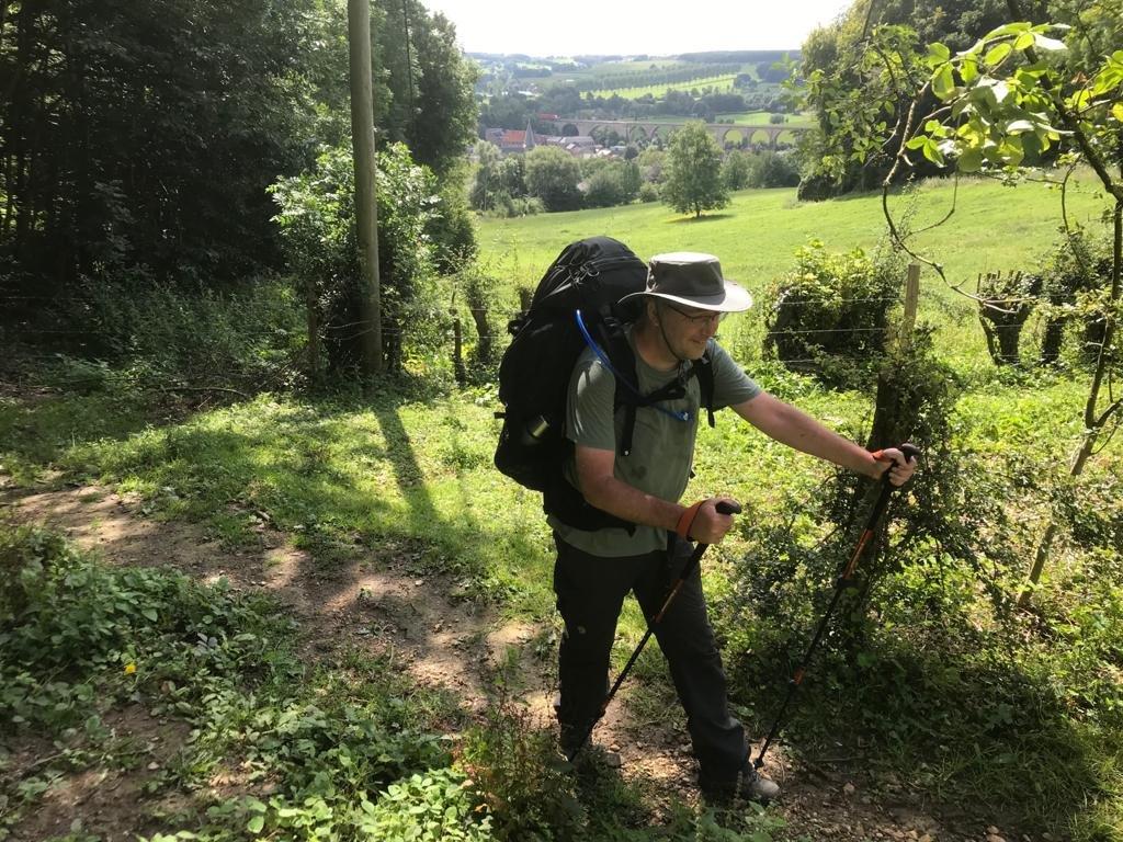
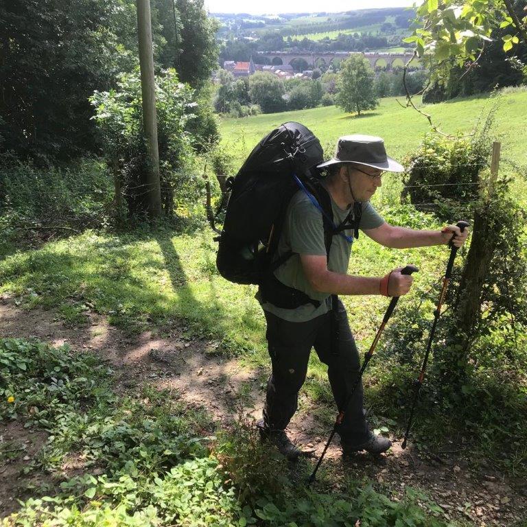
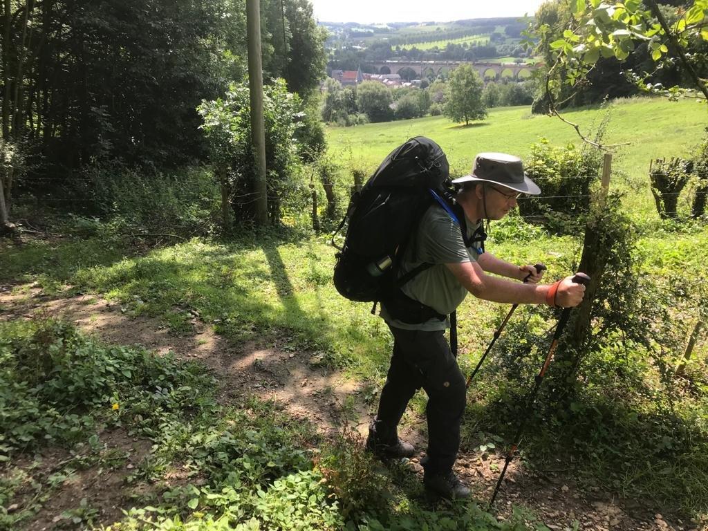
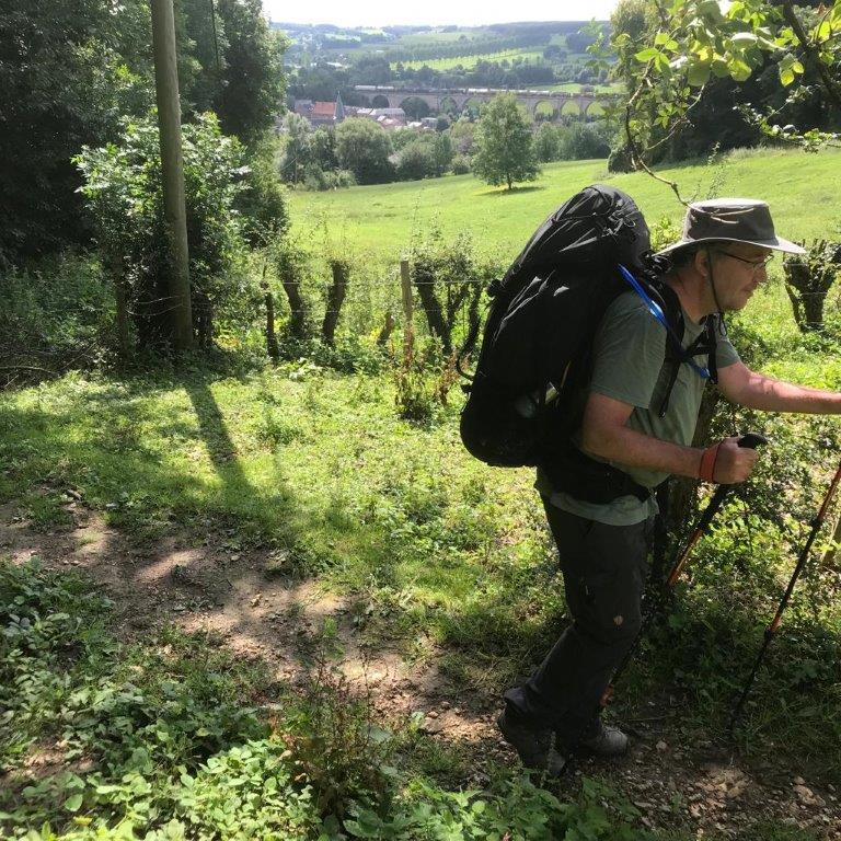
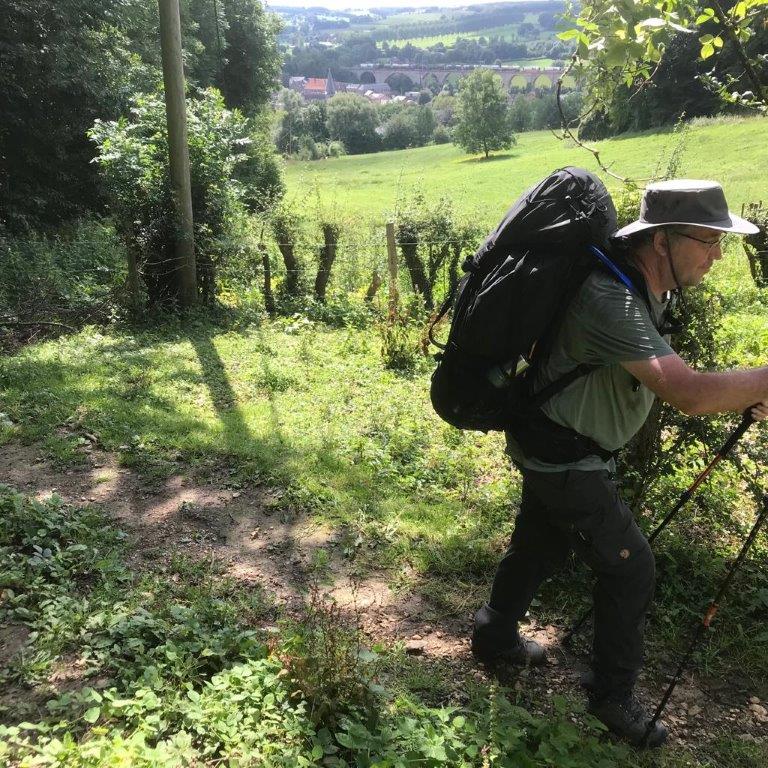
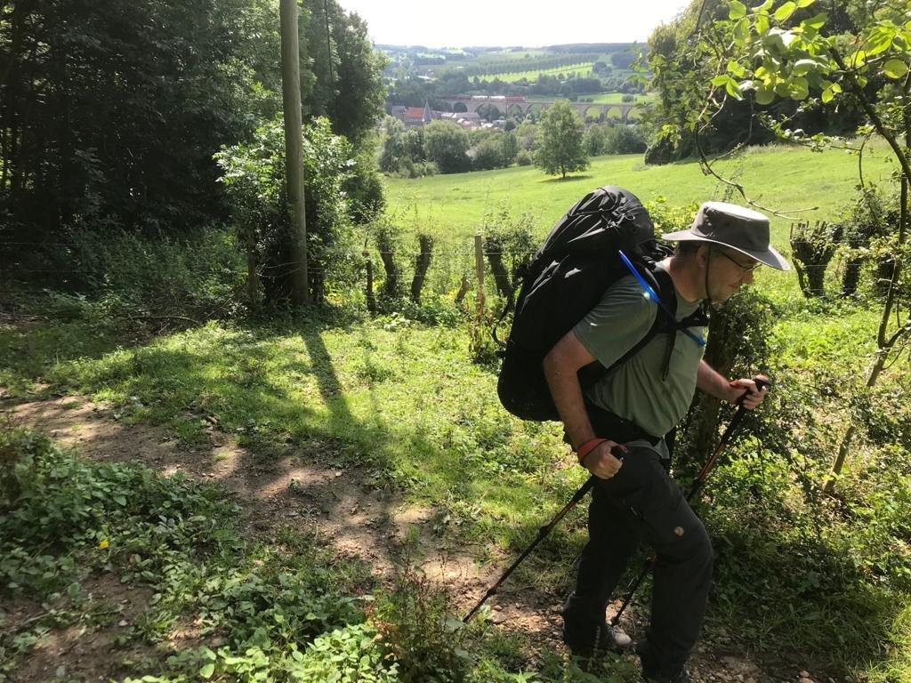
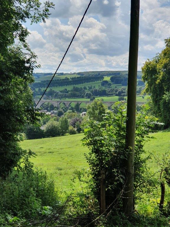
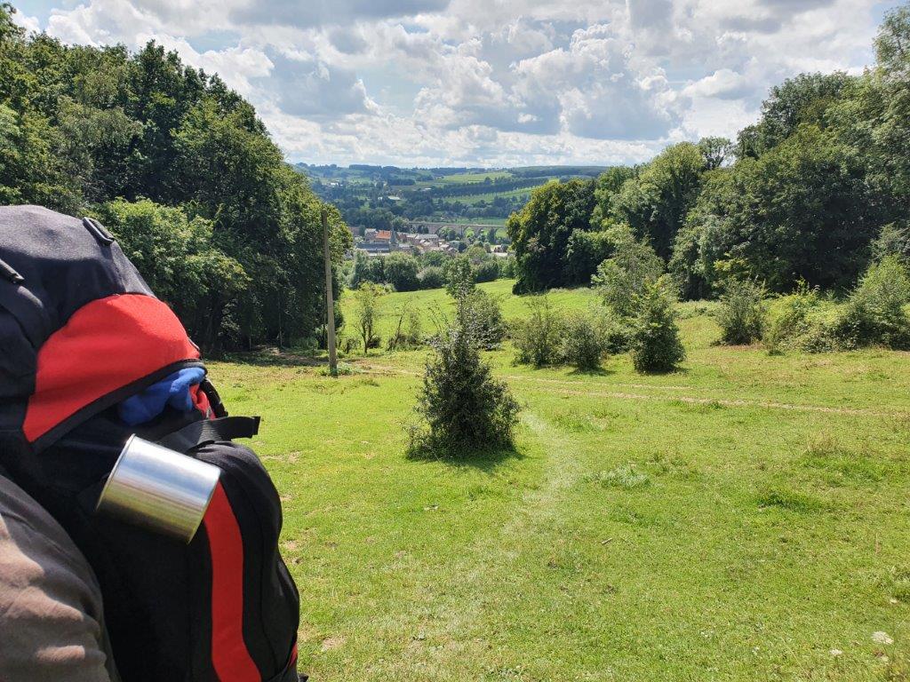
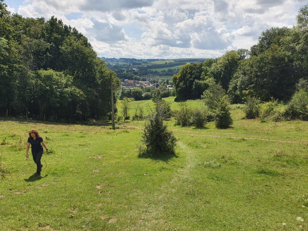
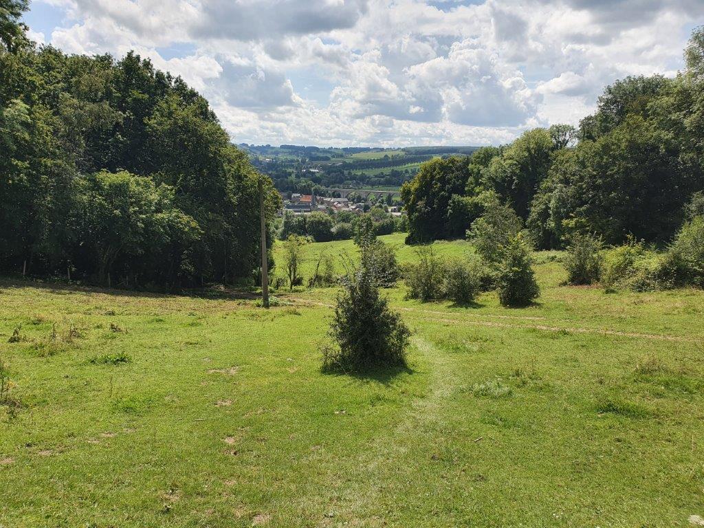
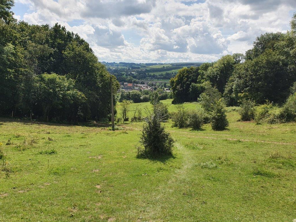
We ascended more and more and the view over The Voerstreek and specifically over the largest railway viaduct of the area became really impressive…
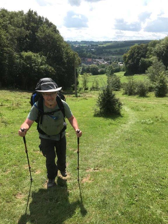
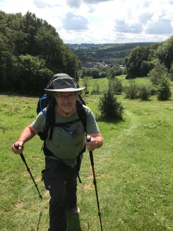
The ascend was quite steep but nothing like a real mountain walk…
Then we got near to the summit of Kattenroth…
I’m really in love with this area in the south of our country and accross the border. My Grandpa and grandma lived here just north of Maastricht and as a family we used to spend much of our holidays and vacations there. I was lucky enough to have parents that took us on all sorts of outings int the province of Zuid-Limburg but also into Belgium, Germany, Luxemburg and even the north of France from there. I remember visiting the Haute Fagne, The Ardennes, boatrides on the river Maas from Maastricht to Liege (Luik), to Aachen, Monschau, Hasselt and many outings into the forest and hill country.
Those were great days that contributed largely to my interest in walking and in seeing the world around me. It always feels really good to return here, actually it feels like coming home…
At the summit we had a short break to enjoy the views, to drink water and to eat a bit before moving on west.
Nowadays there is a paved road named Kattenrot (without the h at the end) running over the hill ridge, which also marks the Belgian-Dutch border …
Me reaching summit number 6: Yay 🎉🎉🎉🎉🎉🎉:
 A bit further was a small area full of flowers where I found this sign which made me wonder how these animals could survive and be happy without beer?!?!🤯😉
After a while the trail turned north and started to descend from the hill ridge of Kattenroth into:
The Vale of the Noorbeek
The Noorbeek is a small brook which runs through the village of Noorbeek and further through this wide, lush green valley…
The hills on both sides of the valley are forested. The vale runs from east to west.
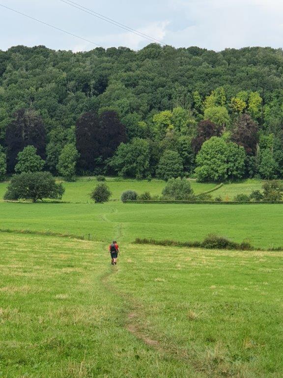
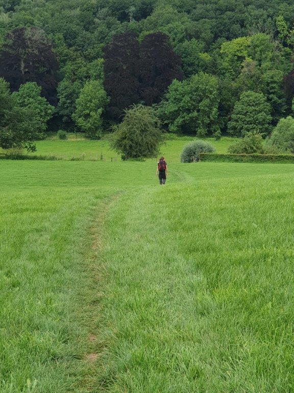
We crossed the vale coming from the south walking north…
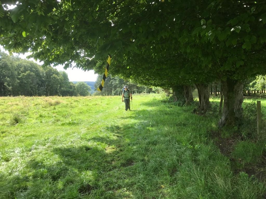
At the embankments of the Noorbeek were trees and bushes…
It now meanders gently through the green fields, its water trinkling like little bells…
… but again you could see how high the water had been during its flooding a couple of weeks ago. Notice the vegetation which got caught into this barbwire fence…
After crossing the Noorbeek via a small bridge,…
… the land started to rise again and we ascended towards the hills on the other side of the vale…
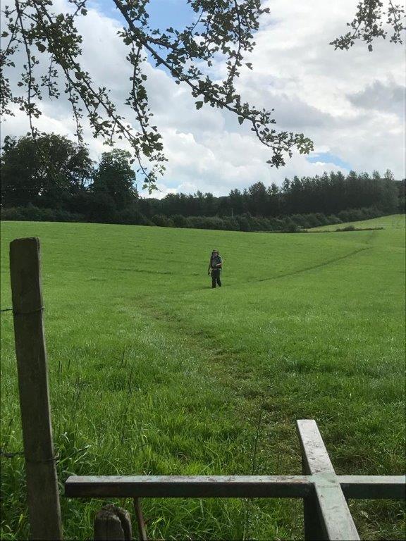
After a final glance back, we walked on through some forest and then someopen fields again.
The trail had gone past Noorbeek and was now going around the village of Mheer too. Near Mheer we saw this castle from afar, which is:
Mheer Castle
Mheer Castle is located on Dorpsstraat in the heart of the village of the same name, Mheer, part of the Dutch Limburg municipality of Eijsden-Margraten. The castle is a national monument.
The castle is located on a ridge of the Plateau of Margraten and south of the castle is the dry valley of the Horstergrub. The castle is located directly behind Saint Lambert’s Church in the village and a driveway leads past the church to the castle. In the cemetery next to the church is the burial chapel with crypt of the de Loë family, with a view between the castle and the chapel.
Then we walked on and reached the western outskirts of the village of:
Mheer
Mheer is a village in the Dutch province of Limburg. It is located in the municipality of Eijsden-Margraten and about 12 km southeast of Maastricht.
Immediately after reaching Mheer, the trail took a sharp turn to the west and started to follow a dry brook bed as it went into the:
Hoogbos
The Hoogbos is a forest area in the municipality of Voeren in the Belgian province of Limburg and in the municipality of Eijsden-Margraten in the Dutch province of Limburg. The forest is located southwest of Mheer and about one and a half kilometers north of ‘s-Gravenvoeren. It is also located about a kilometer south of Libeek. The forest is mainly located on a steep north slope of an alley called the Horstergrub. In Mheer, the forest area starts at the Steegstraat. On the other side of the Dorpsstraat in Mheer is another slope forest on the north slope of the same continuous alley. In the Hoogbos there are some dolines.
The brook bed was completely dry and The Wandelgek was happy because it meant that he did not need to walk over slippery river stones…
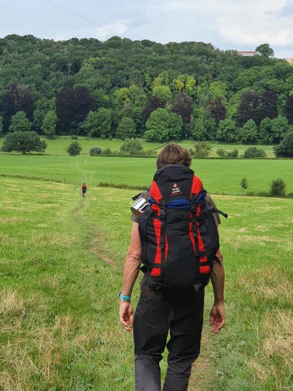
The trail crossed the Dutch-Belgian border again into The Voerstreek and continued to follow this brook bed for a long time. 1st going west and later bending south. Not far before reaching the Belgian village of ‘s Gravenvoeren, there was a steep climb going west again and out of the dry brook vale. On top of the climb was a road going west. We now walked on a plateau and could see very far into the depths south and west of us.
Leaving Belgium and the Voerstreek
This area near to the border was on both sides of the border well known for its many standard sized fruit tree orchards (in Dutch we call them hoogstamfruitboomgaarden). They are still a common sight in large parts of Zuid-Limburg and there are areas with cherry trees, plum trees and apple or pear trees.
Beneath is a last view over The Voerstreek and the village of ‘s Gravenvoeren,…
 …before we crossed the Belgian-Dutch border for the last time during this walk…
… entering The Netherlands again.
Fruit tree orchards
We crossed through some beautiful orchards and when we arrived at a road called the Ezelsweg we saw this sign, explaining about the orchards and the many local products that were created from the fruit…
There were large orchards with mainly Apple and Pear trees in this are…
 All high trunk trees where the pluckers need to use ladders to reach the fruit…
The trees were hanging full of ripe fruit, like these pears…
The trail led us through these orchards and I could already imagine about the fruit flan, pear and apple syrup, fruit jams and juices that are made of local fruit.

Entering the vale of the River Maas
Suddenly we saw down into the large valley of the River Maas, which is actually the 2nd largest river of The Netherlands…
Here the views were wide…
… as far as to Maastricht and beyond…
The Dutch Mountain Trail finished in Maastricht and The Wandelgek had planned to walk there the next day, but now he saw the end goal of this day walk; the church tower of the most southern railway hub of The Netherlands: Eijsden.
Before entering Eijsden, the trail crossed underneath of the E25/A2.
Then we walked into:
Eijsden
Then we went for the lat stretch to central Eijsden.
Eijsden is a village situated in the very south of the European country the Netherlands. It is located in the southeastern part of the province of Limburg.
We walked past the station of Eijsden. This was the moment where our paths would seperate. My friend was travelling home and I was staying the night in Eijsden, before finishing the last stretch of the Dutch Mountain Trail tomorrow.
However there was time for a refreshing large Weizen beer 1st. At a terrace not too far from Eijsden railway station, we got our backpacks of our backs and sat down.
There were some other walkers sitting on the terrace, who also had finished their walk on the DMT and we got into a conversation.
After a while we said goodbye and split up. The Wandelgek was now solo travelling again and he went to his hotel.
Hotel Hestia
Hotel Hestia is a hotel and a Greek restaurant 😃
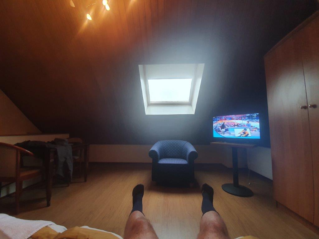
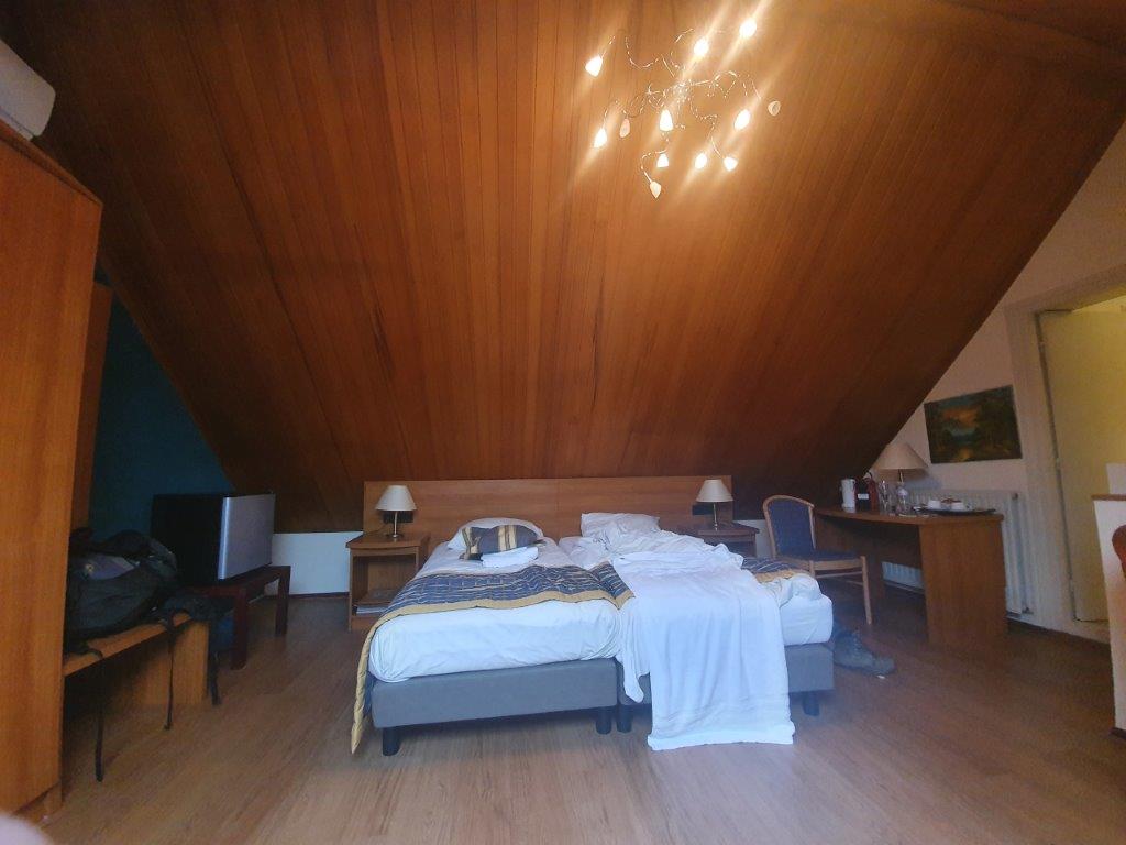
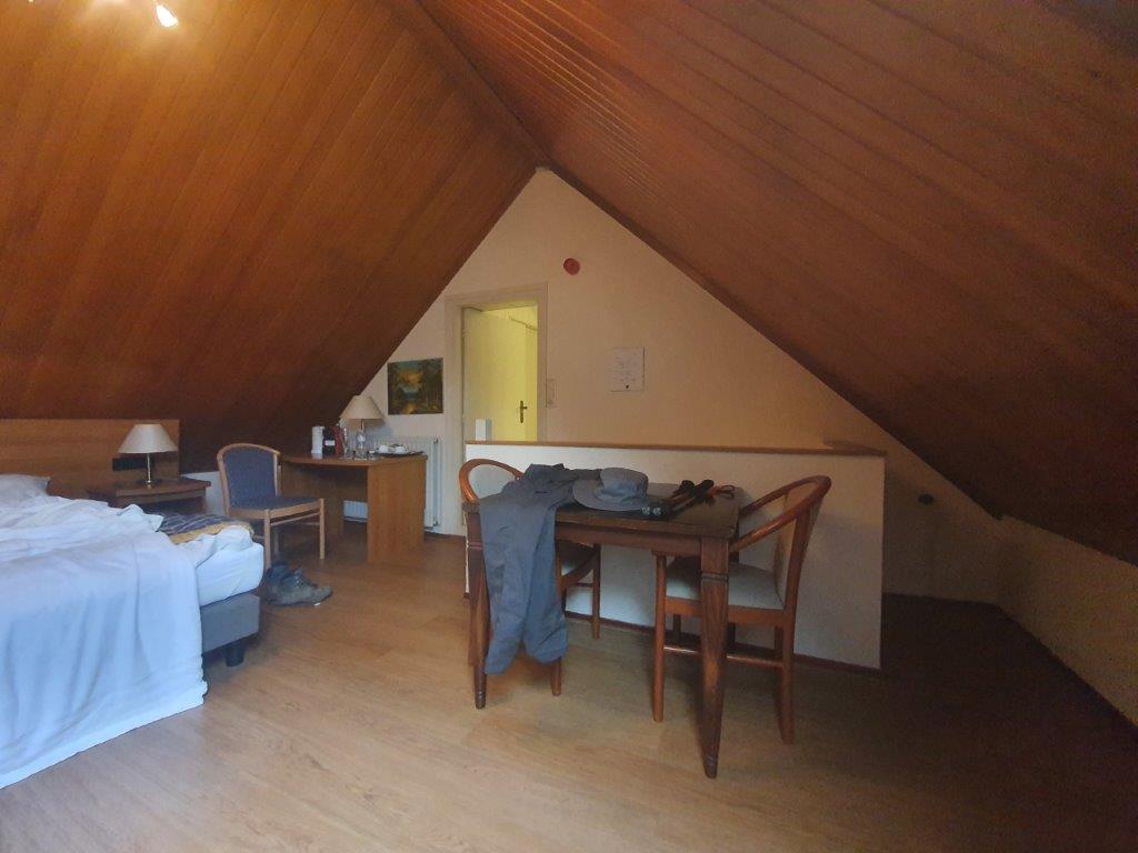
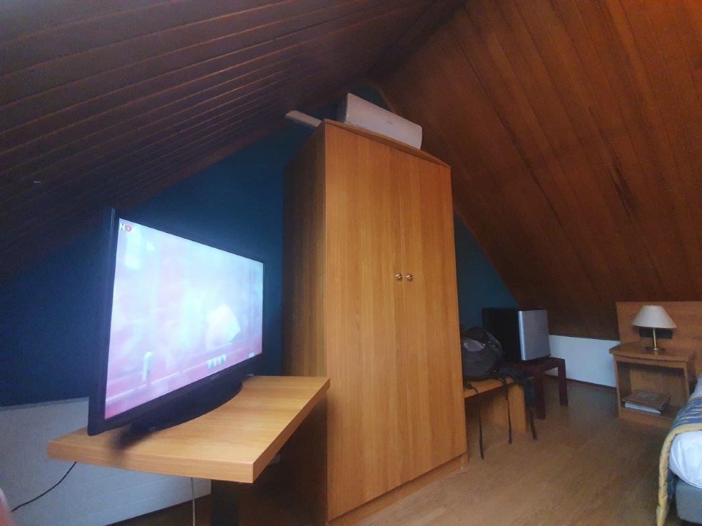
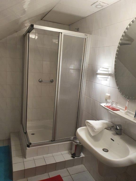
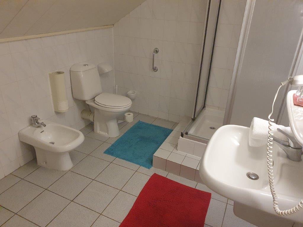
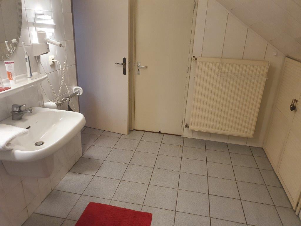
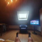
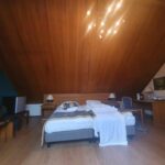
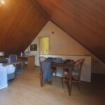
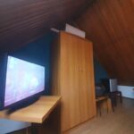
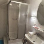
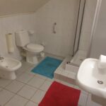
The Wandelgek checked in 1st but reserved himself a table for later that evening too. Then the owner showed him his room which was in the attic. It was quite a large room with a television a small seat with table and chairs and a bathroom.
After a shower and after a bit of rest on the bed, watching the Olympics, The Wandelgek went down to the Greek restaurant and had himself a wonderful dinner…
The starter: Crunchy calamari and anchovy
The main dish: Gyros Souvlaki and tatziki
It tasted very well and after a few beers The Wandelgek ended this beautiful day on the DMT and went up to his room.


