Dutch Mountain Trail walk 2: Kerkrade – Vaals
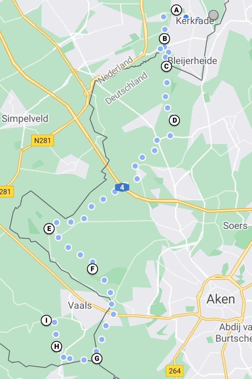
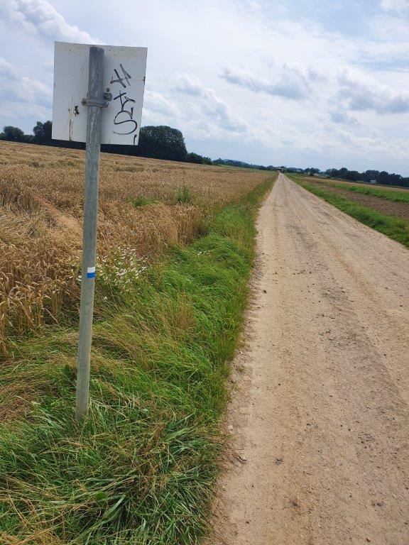
After leaving the beautiful Abbey of Rolduc, The Wandelgek returned to where he had left the DMT (Dutch Mountain Trail) at (A) and continued south.
Almost 85% of today’s trail was going through Germany, The Netherlands’ large neighbour and the trail would briefly go through Belgium too.
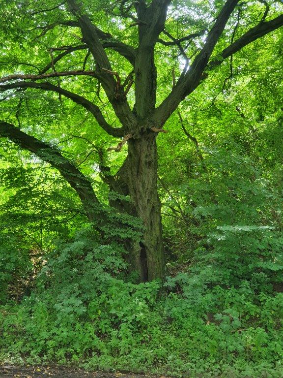
The Hambos (The Ham wood)
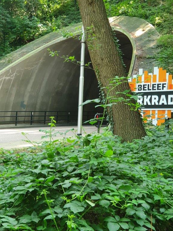
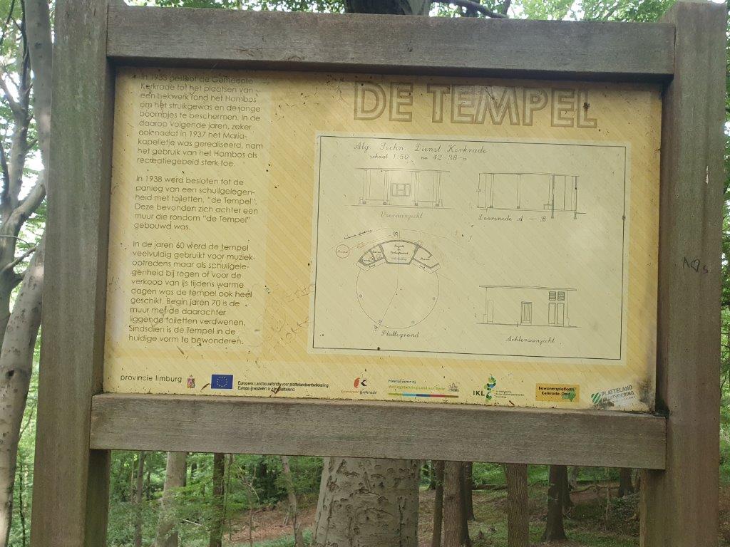
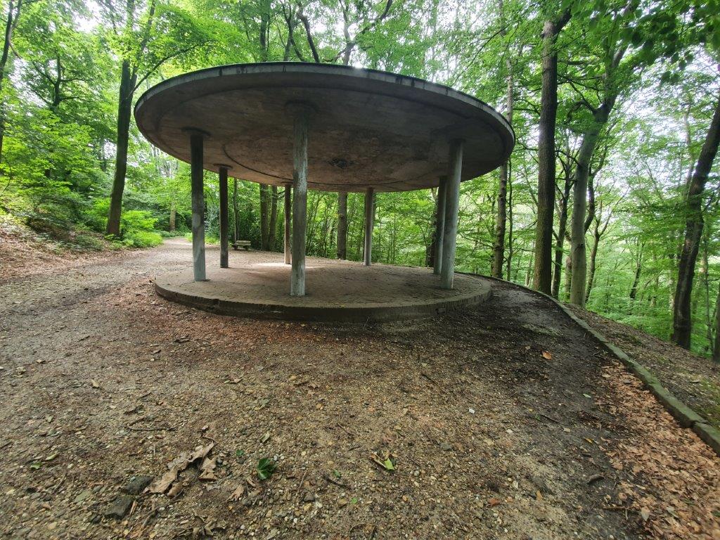
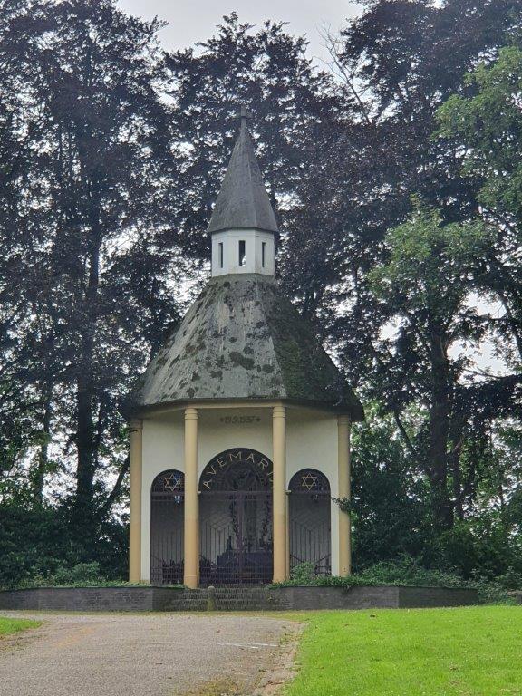
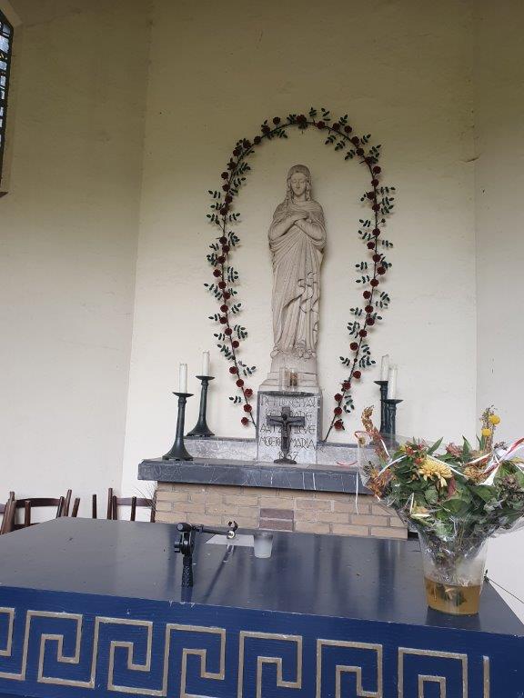
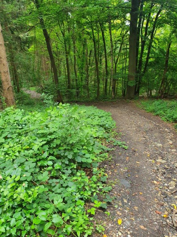
The first part of the DMT immediately went south into the Hambos or Ham wood, named after the small hamlet of Ham and forming a green corridor between the cities of Kerkrade and larger Heerlen. In 1933 the Hamwood was surrounded by a fence by the local municipality. This was done to give young plants like bushes and trees a chance to grow. After a few years in 1937 a small Maria Chapel was build in the forest and in 1938 this was followed by adding a temple and some toilets (the toilets are now gone). The temple, which was meant to shelter for rain, was also used by local entrepreneurs to sell icecream on hot days and was used in subsequent years for small music performances as the Hambos became more and more a recreational area.
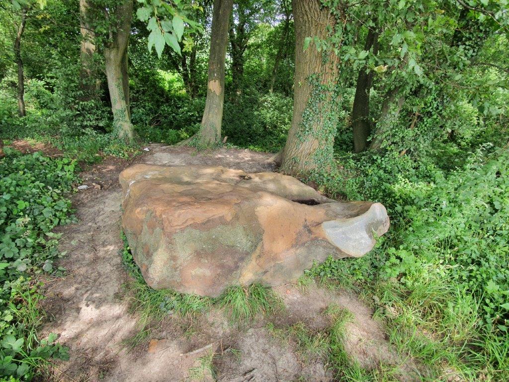
The Temple in the woods
Hambos kapel (Hamwood Chapel)
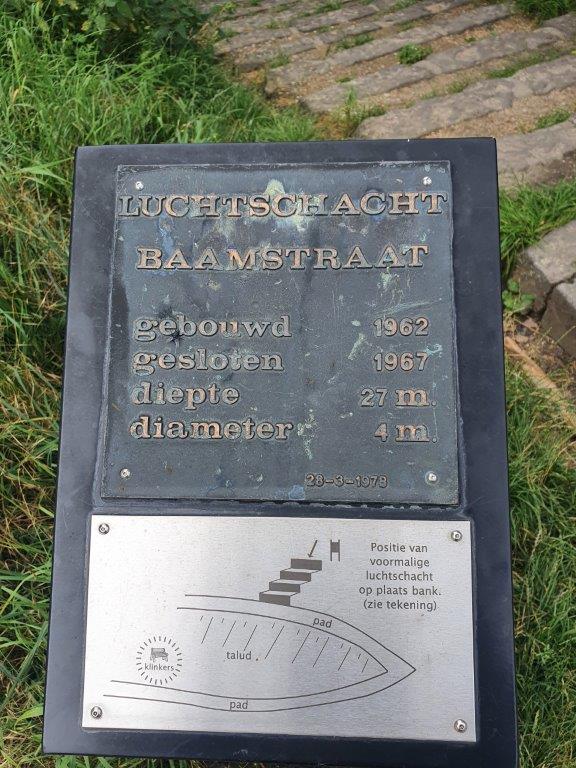
Luchtschacht Baamstraat (Air shaft Baam street)
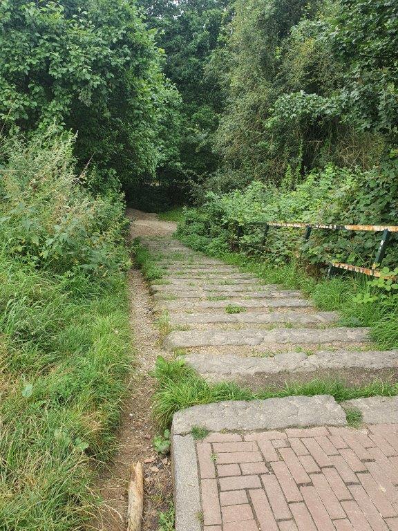
The trail leaves the Hambos and after crossing the Hamstraat (Ham street) enters another wood via a stair.
Next to the stairs is a small information tableau which indicates the position of an old air shaft which was used for oxygen supply in the coal mines.
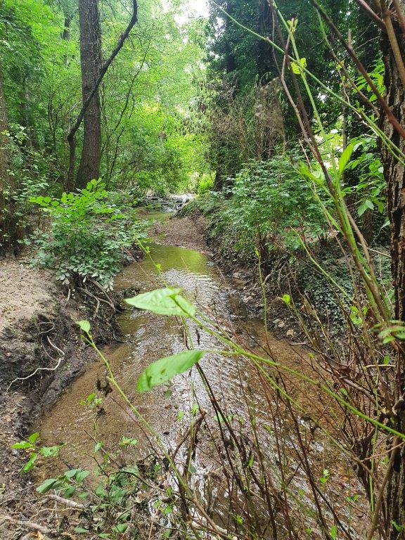
Crombacherbeek / Amstelbach (Crombacher Stream / Amstel Stream): Border with Germany
Next the trail passes an almost 90 degrees angle in the Crombacherbeek (coming from the west and subsequently flowing south as the Amstelbach. Beek is dutch and bach is german for stream. The Crombacherbeek going from east to west is the border between the Netherlands and Germany and flows south into Germany as the Amstelbach. The trail now follows the Amstelbach.
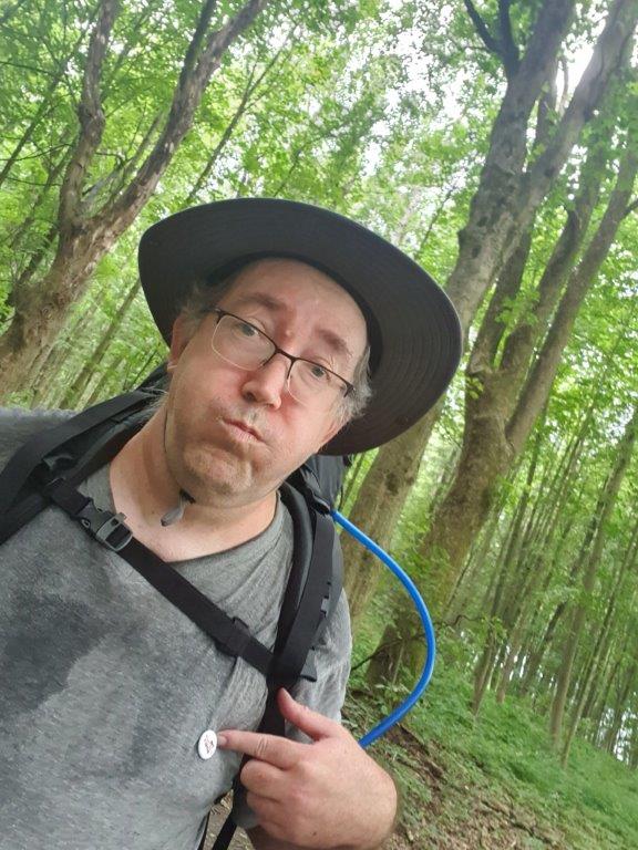
Due to new Covid19 restrictions for The Netherlands, by Germany, it was notbentirely without risk to cross tge German border. The Wandelgek did receive his 2nd vaccination, but this had to become effective in the next two weeks, after which it was possible to retrieve a certificate of proven full vaccination. But after talking to some more hikers that also walked the trail it became clear that there was little risk. The DMT trail was not or barely checked for trespassers and after having checked the government site, it became clear that a stay in Germany for less than 48 hours, e.g. for transit but also for cross border shopping was allowed. You did have to prove that you were leaving within that time frame and The Wandelgek could because he had booked accomodation that evening in The Netherlands. So he decided to walk on.
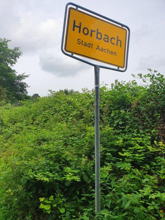
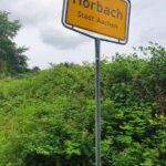
Walking past Horbach
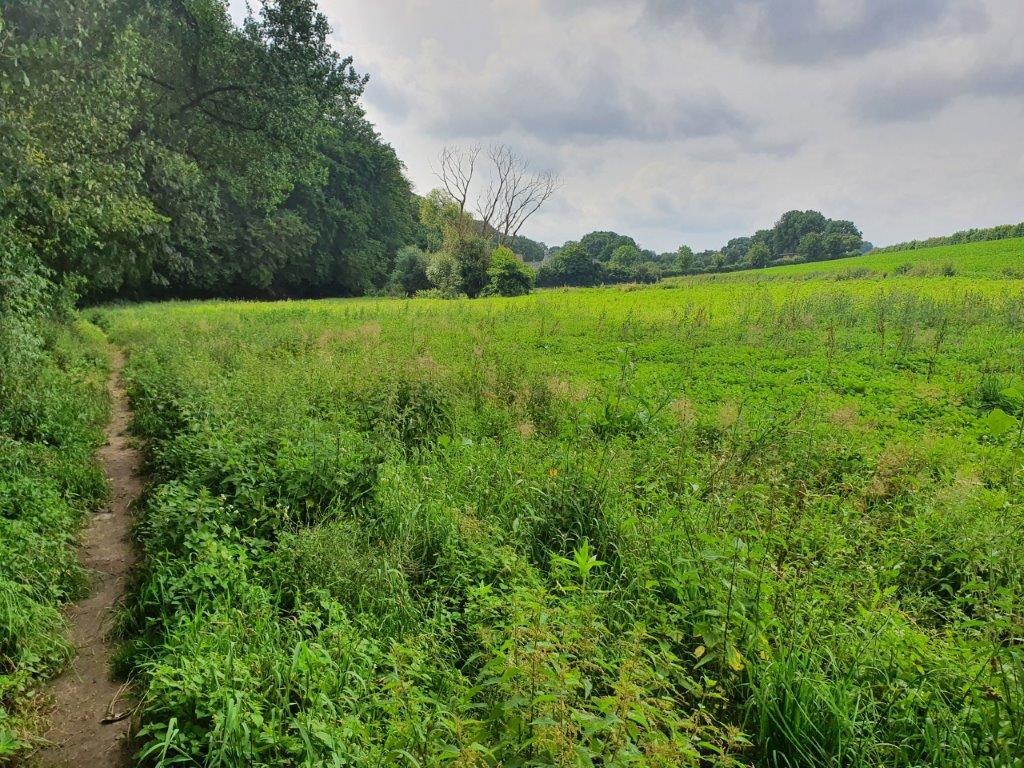
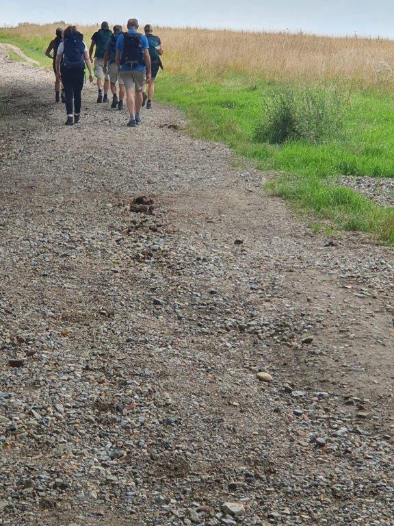
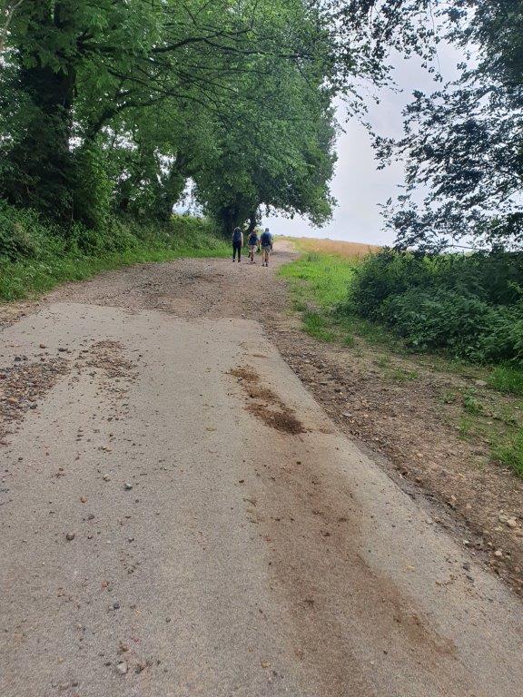
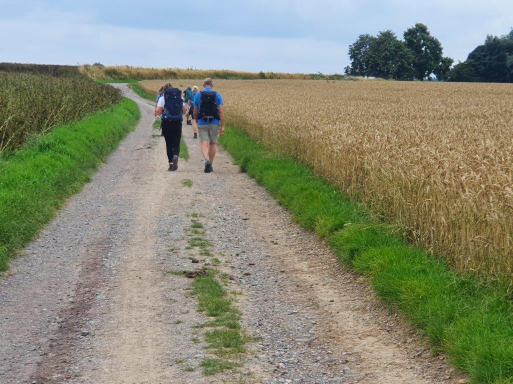
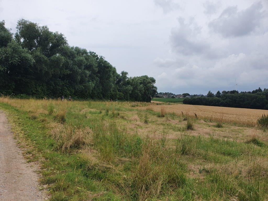
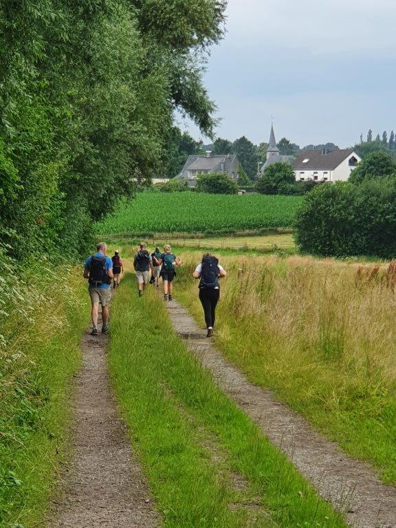
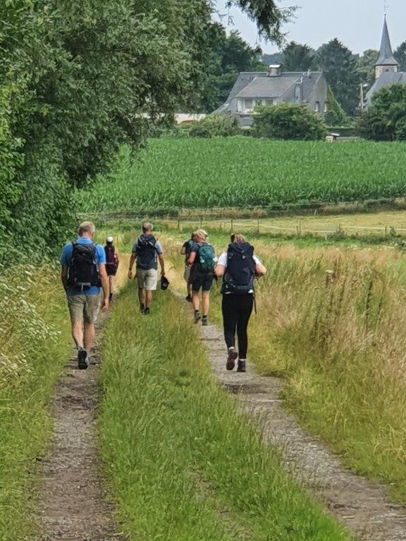
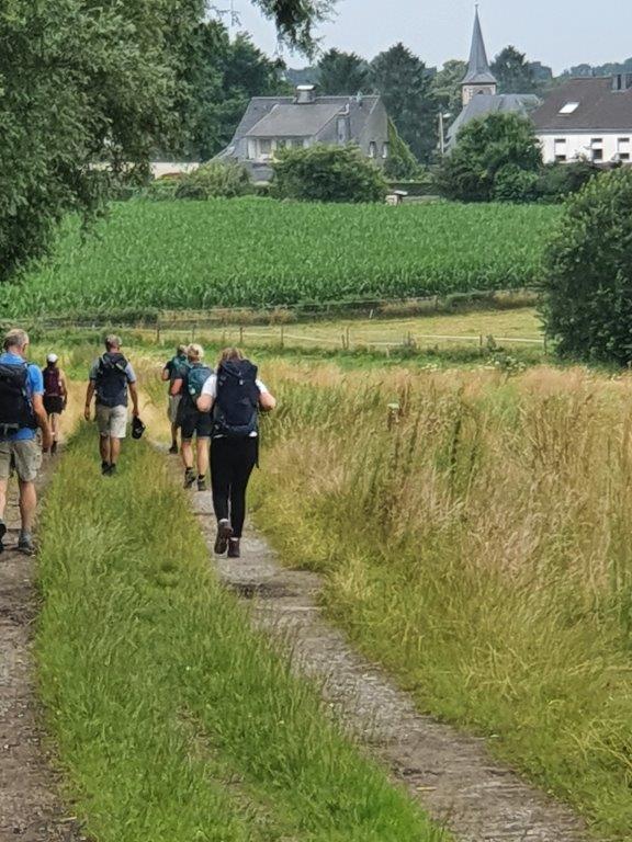
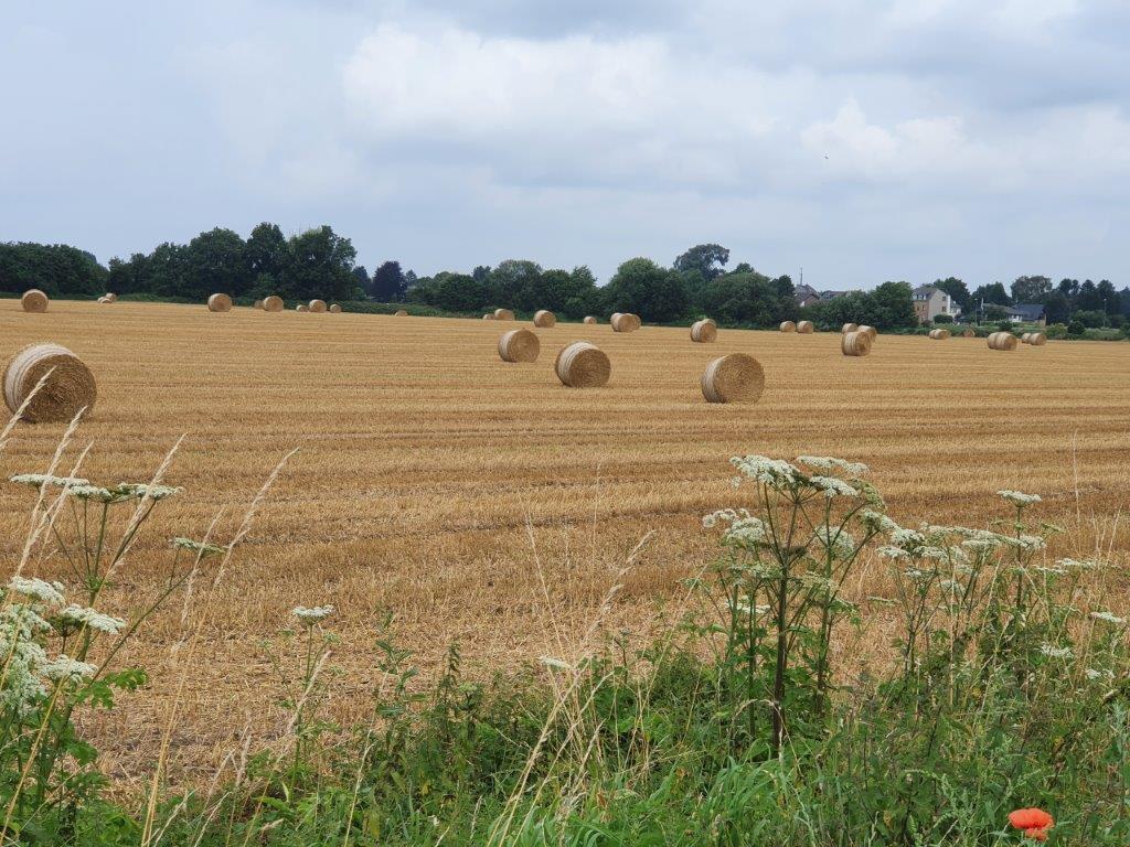
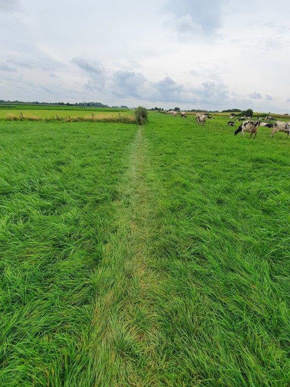
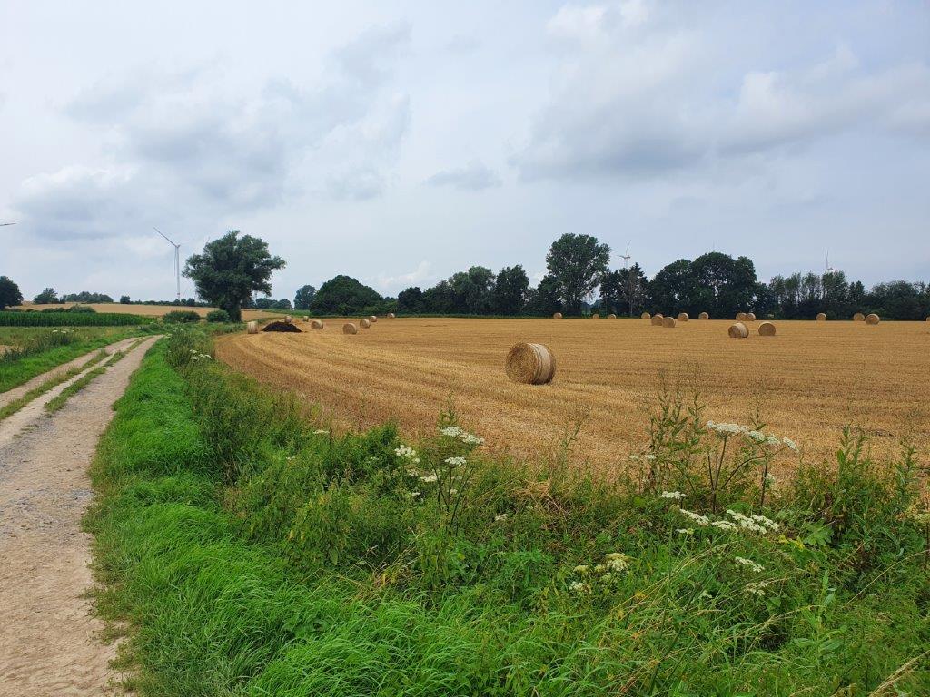
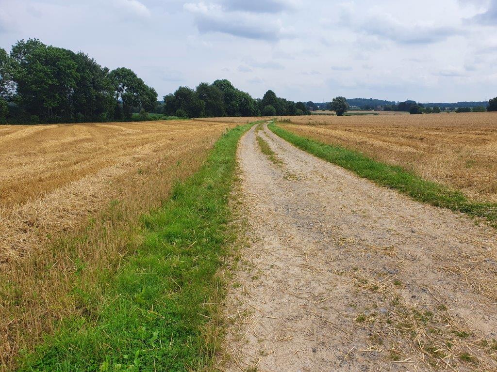
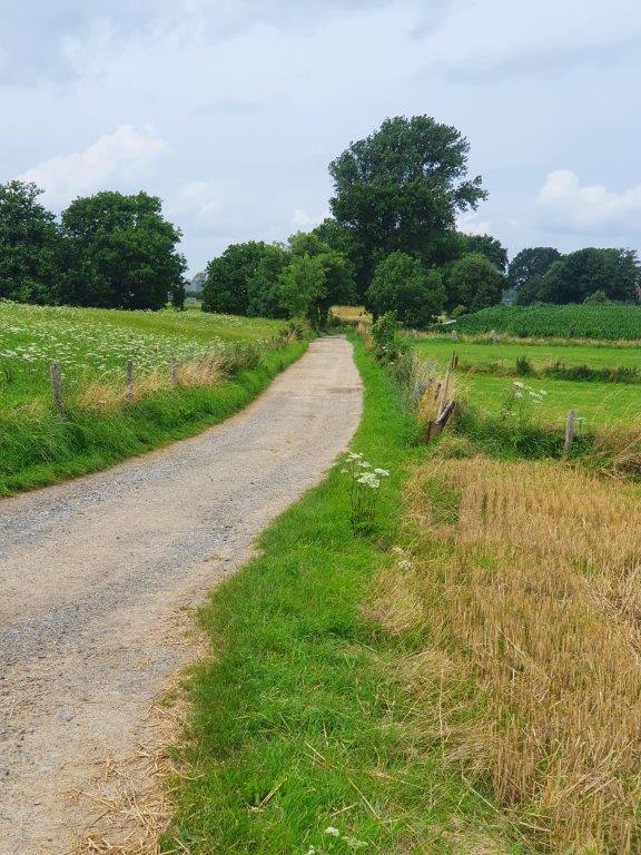
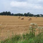
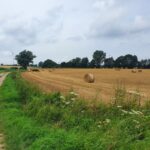
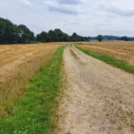
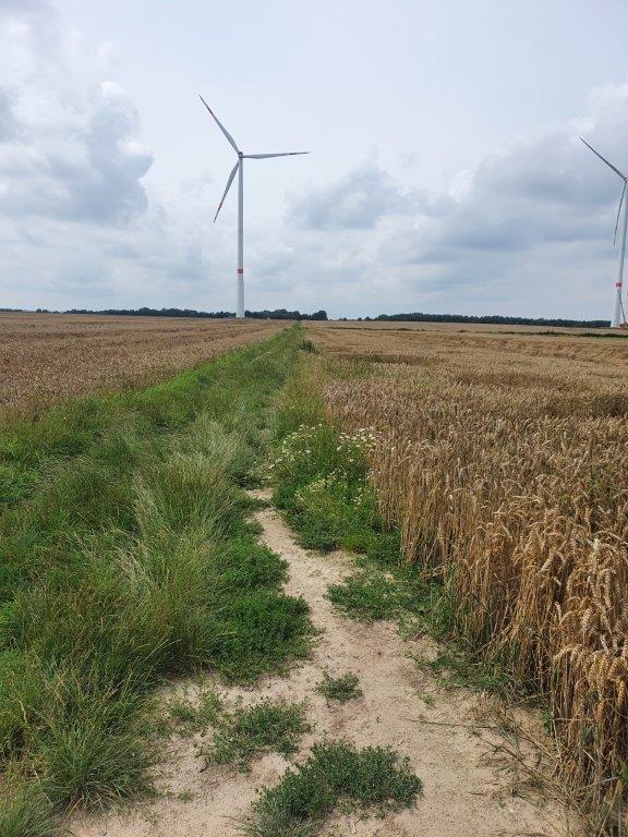
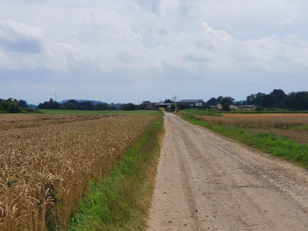
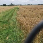
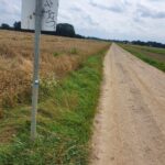
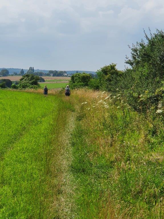
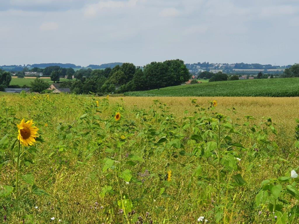
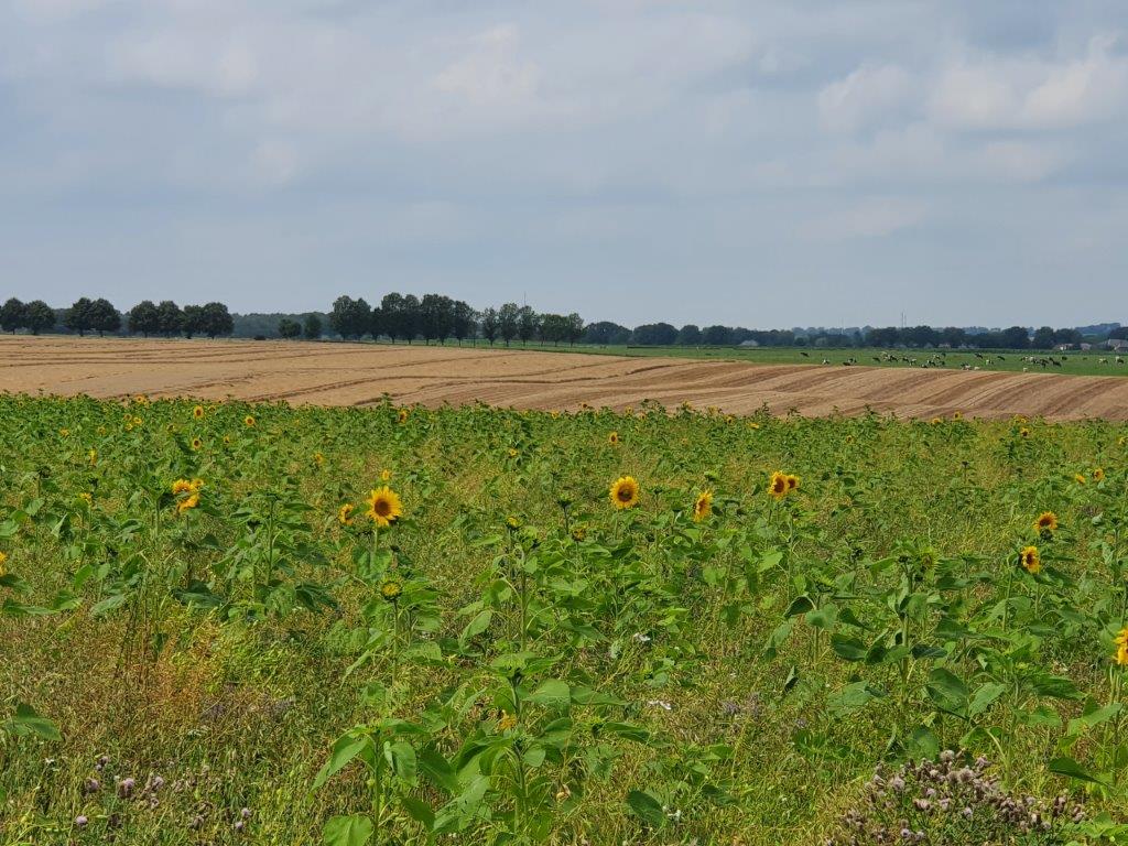
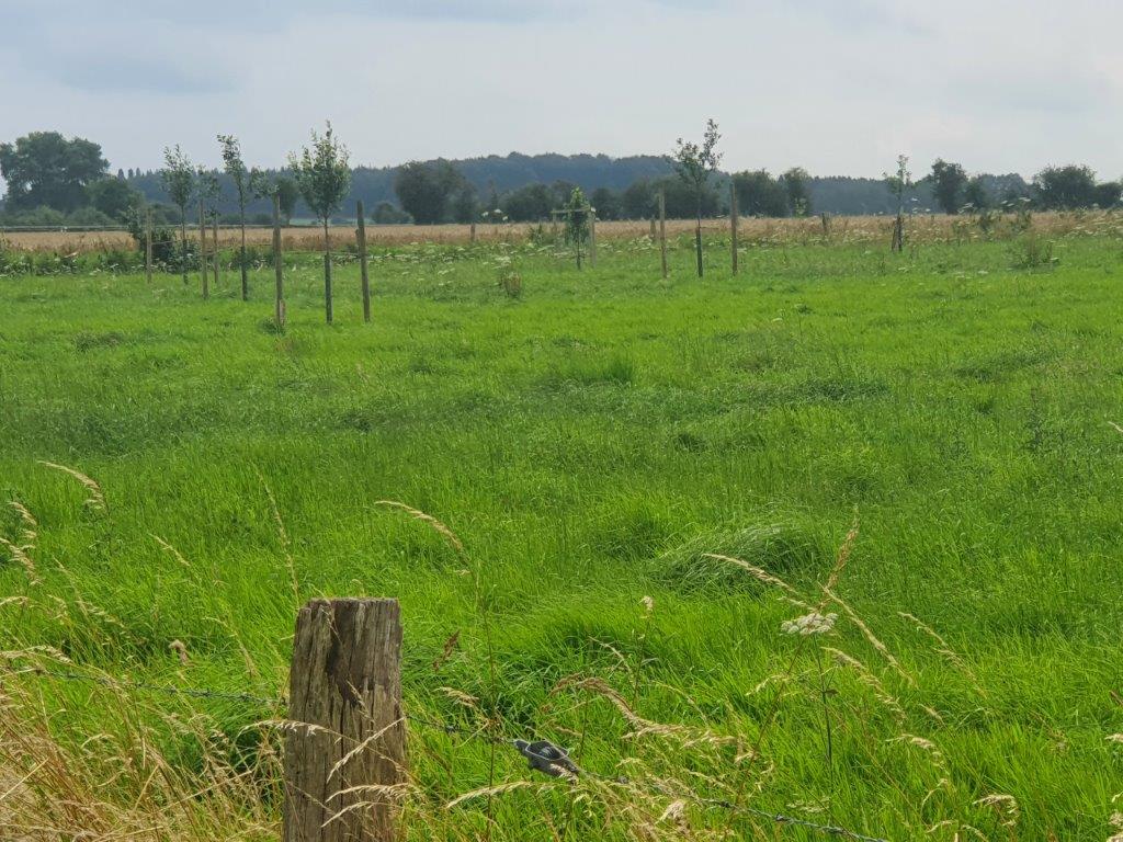
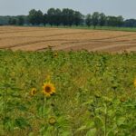
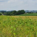
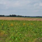
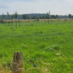
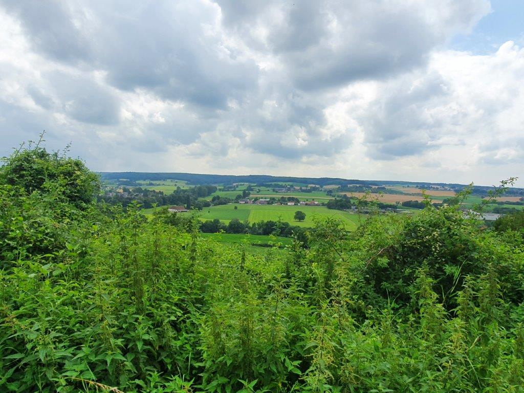
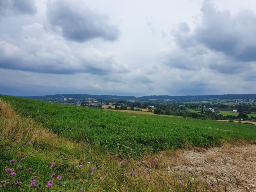
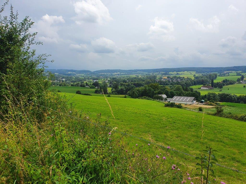
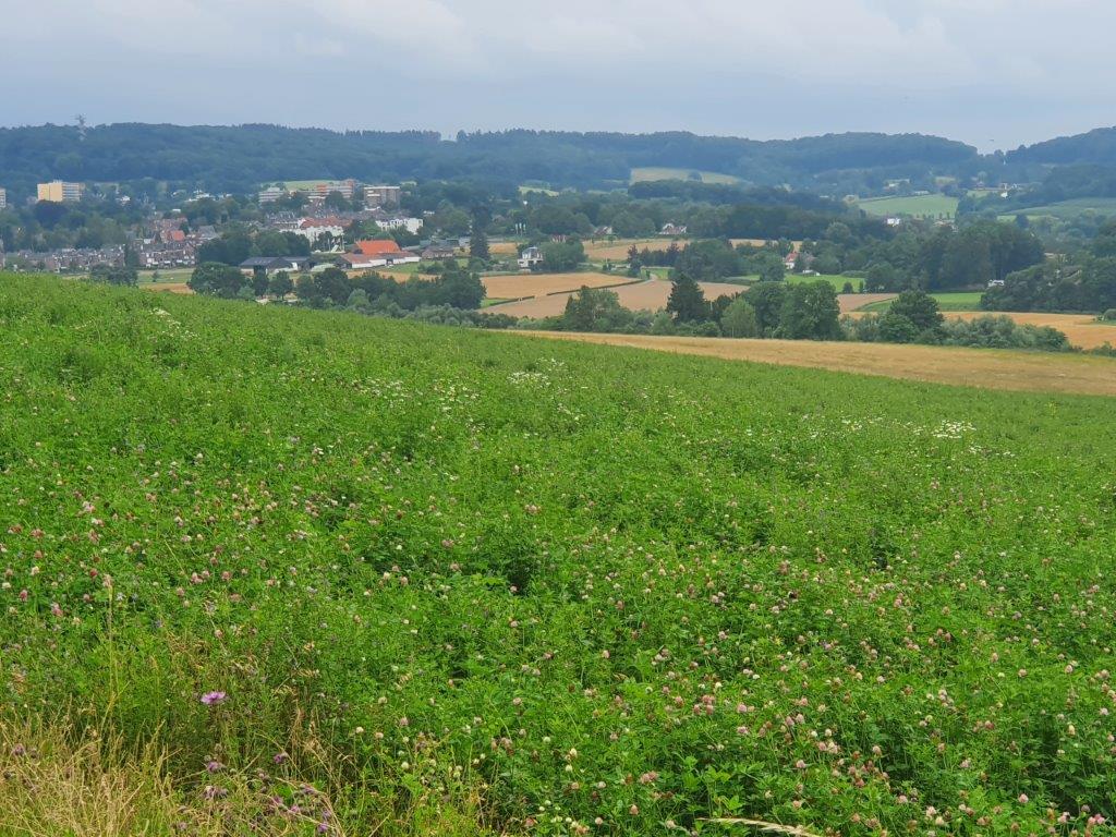
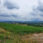
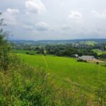
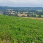
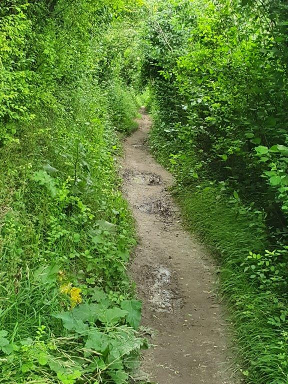
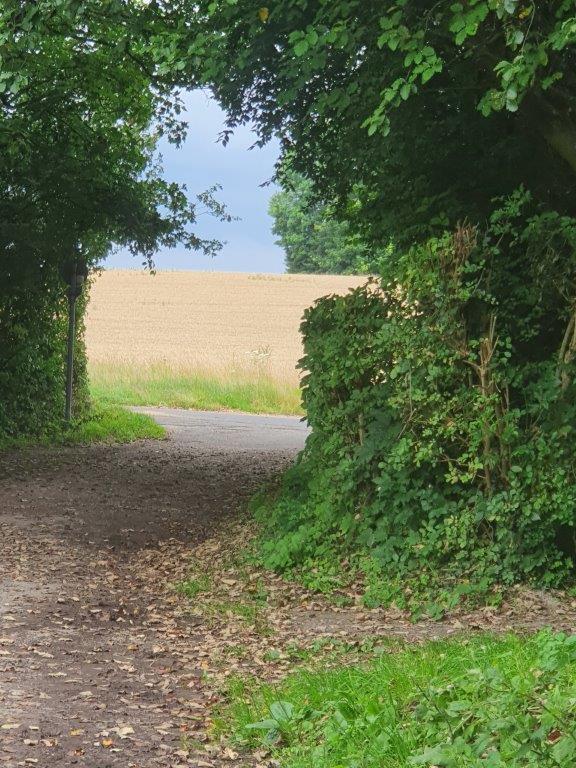
A large part of today’s trail is crossing a false flat from Kerkrade to Orsbach in Germany. The trail descends and ascends slowly but mostly it ascends towards the area around Vaals which is the highest area in The Netherlands. It is nowhere steep though and it is easy to walk and enjoy the numerous views down in to The Netherlands.
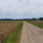
First the DMT reaches the village Horbach, but it keeps a distance from that village. If you like to go in for a meal or drinks you need to detour a bit from the trail. The Wandelgek kept following the DMT though.
West Wall or Siegfried Line 1
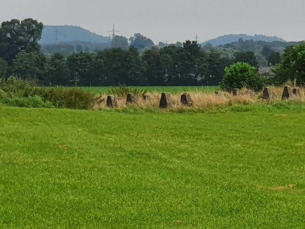
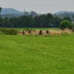
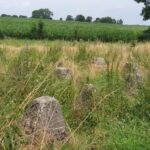
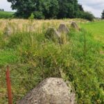
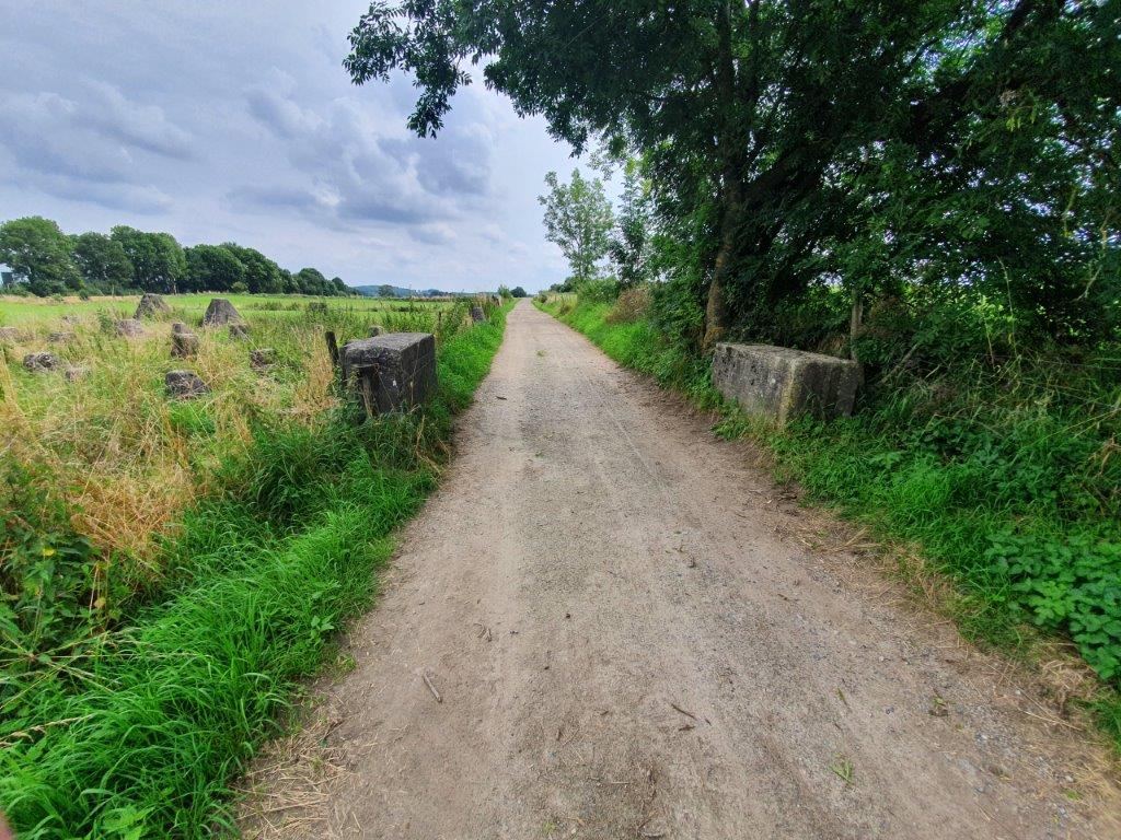
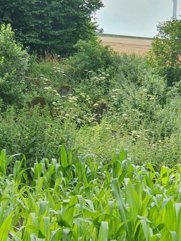
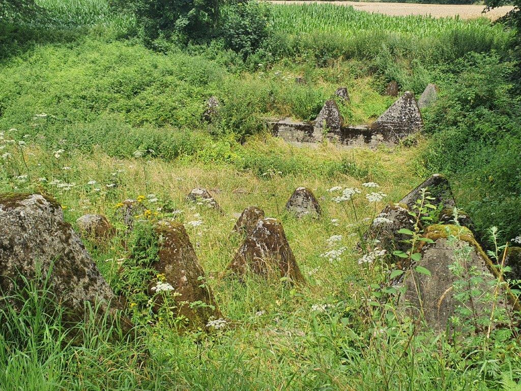
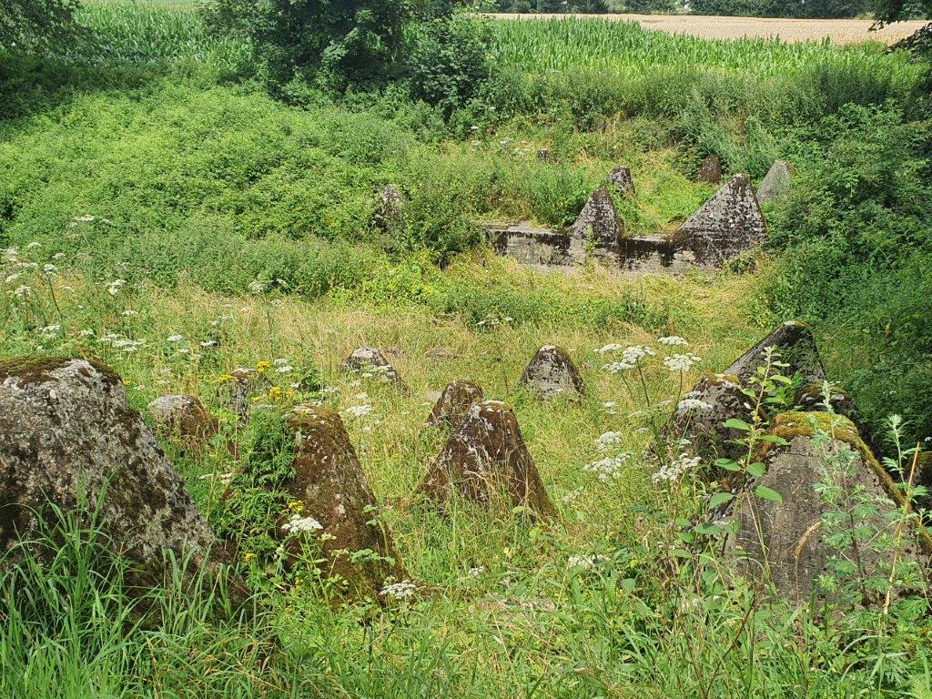
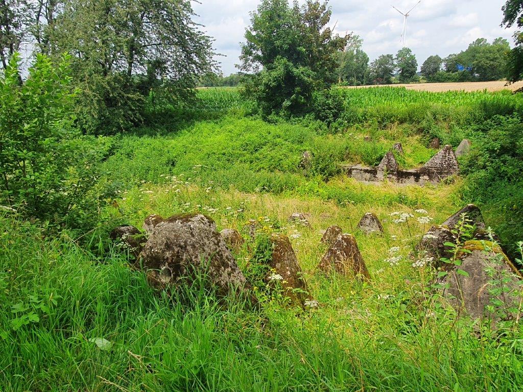
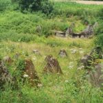
After crossing some fields, The Wandelgek suddenly noticed some strange, toblerone shaped concrete blocks that were scattered in a line over a large area. They were parallel to the dutch/german border. The DMT crossed through.
These Toblerone like concrete blocks were actually anti tank obstacles, once scattered over an area of … kilometers, but now only … kilometers were left.
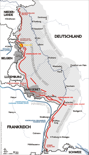
This was The Siegfried Line or the West Wall, a defense system built by the Germans in WWII to keep allied tanks from entering their country.
The Siegfried Line, known in German as the Westwall, was a German defensive line built during the 1930s opposite the French Maginot Line. It stretched more than 630 km (390 mi); from Kleve on the border with the Netherlands, along the western border of the old German Empire, to the town of Weil am Rhein on the border to Switzerland – and featured more than 18,000 bunkers, tunnels and tank traps.
From September 1944 to March 1945 the Siegfried Line was subjected to a large-scale Allied offensive.
The trail kept skirting Horbach and it could be seen on several occasions.
The West Wall/ Siegfried Line 2
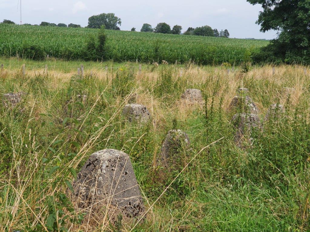
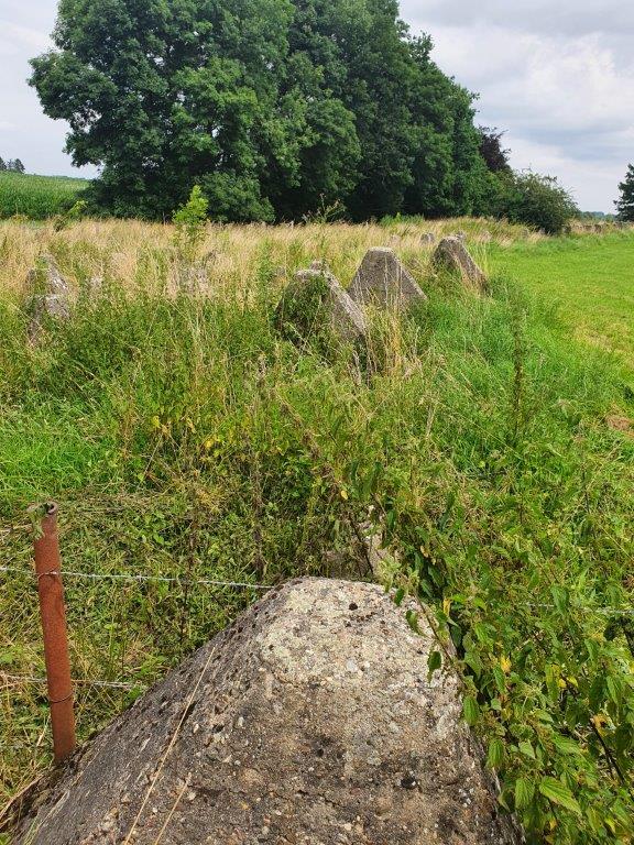
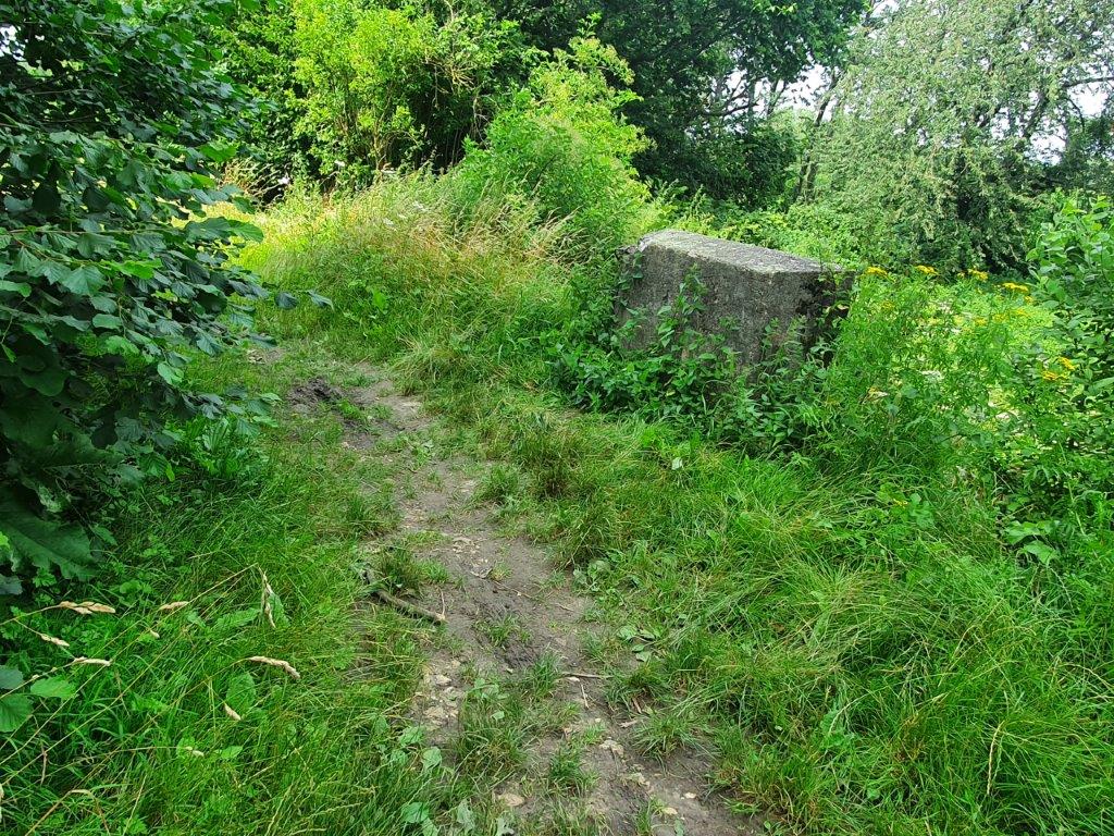
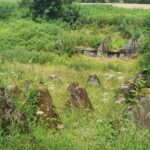
Then the DMT went further south, moving away from Horbach towards Orsbach. But before reaching Orsbach, it crossed another section of the Siegfried Line/West Wall…
Standard construction elements such as “dragon’s teeth” anti-tank obstacles were built as part of each construction phase, sometimes by the thousands. Frequently vertical steel rods would be interspersed between the teeth. This standardisation was the most effective use of scarce raw materials, transport and workers, but proved an ineffective tank barrier as US bulldozers simply pushed dirt bridges over these devices.
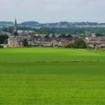
Views over Vijlen and walking towards Orsbach
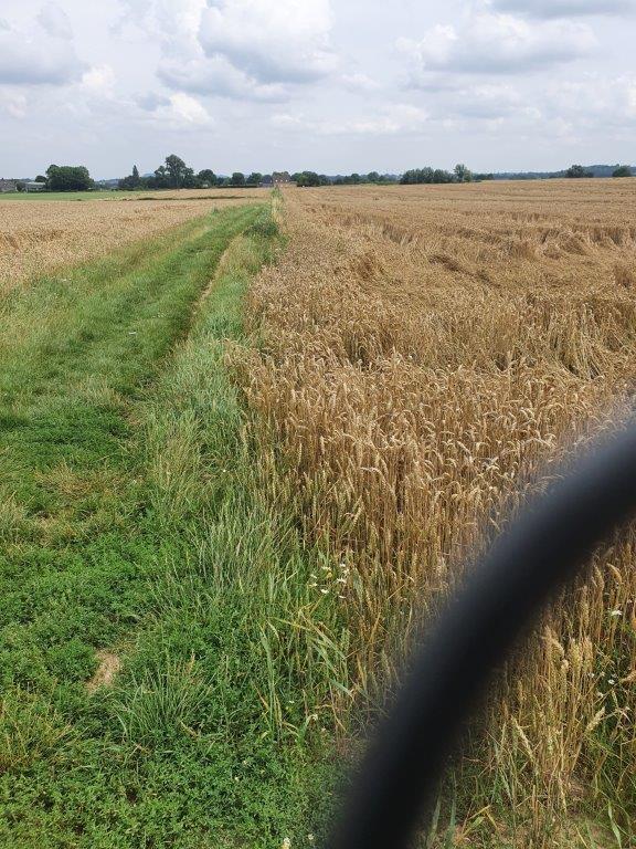
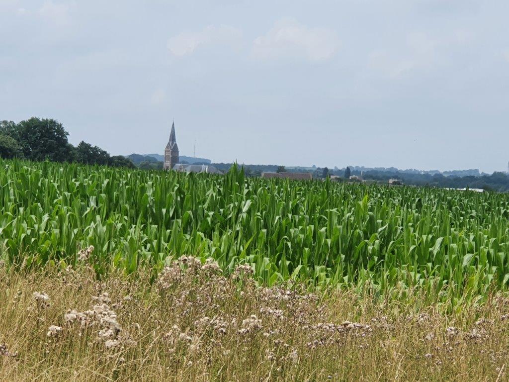
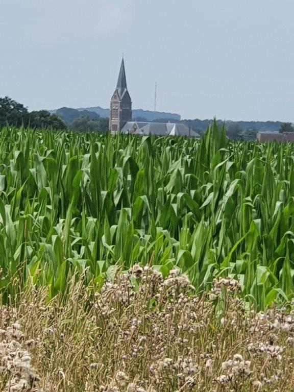
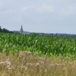
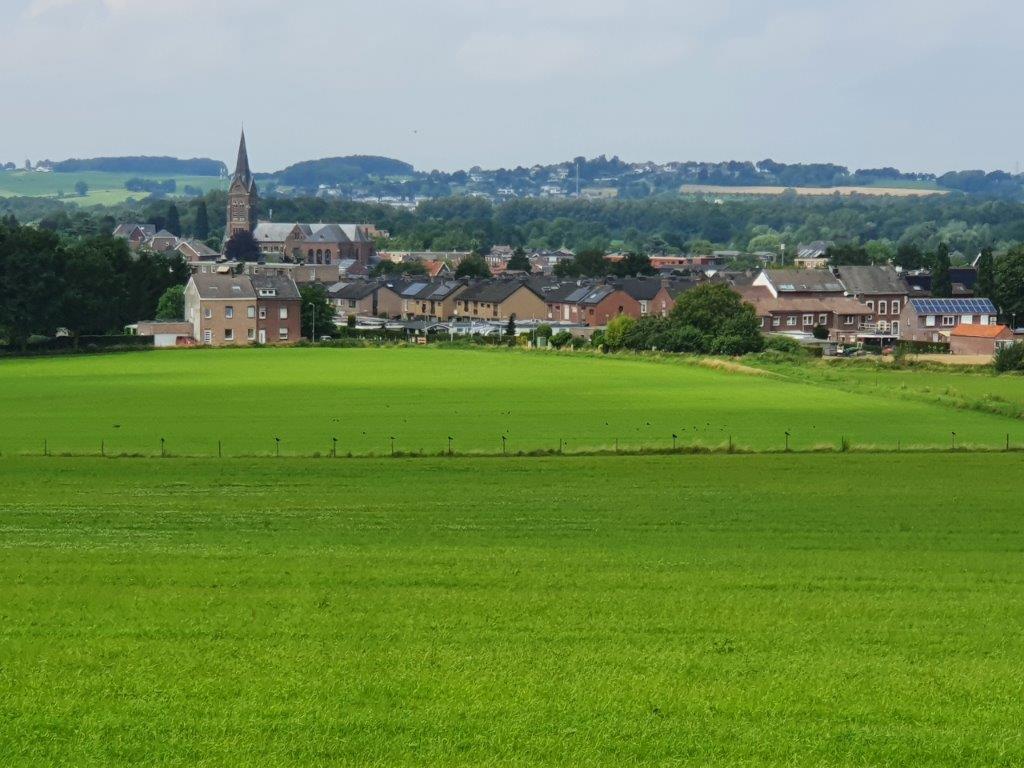
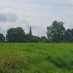
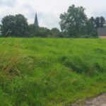
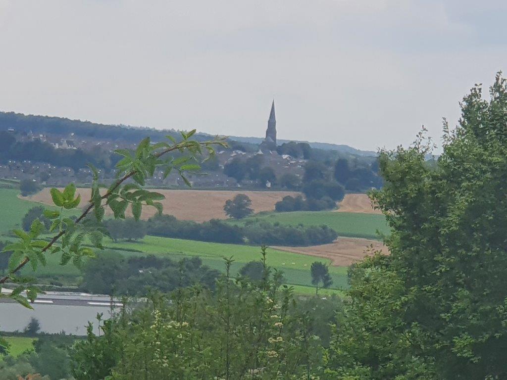
The Wandelgek had his first glimpse of Vijlen (a village in The Netherlands were he would stay later). The DMT followed a southern course over tge false flat which was rising until it reached Orsbach.
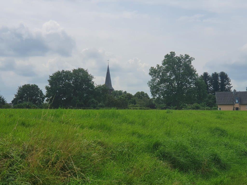
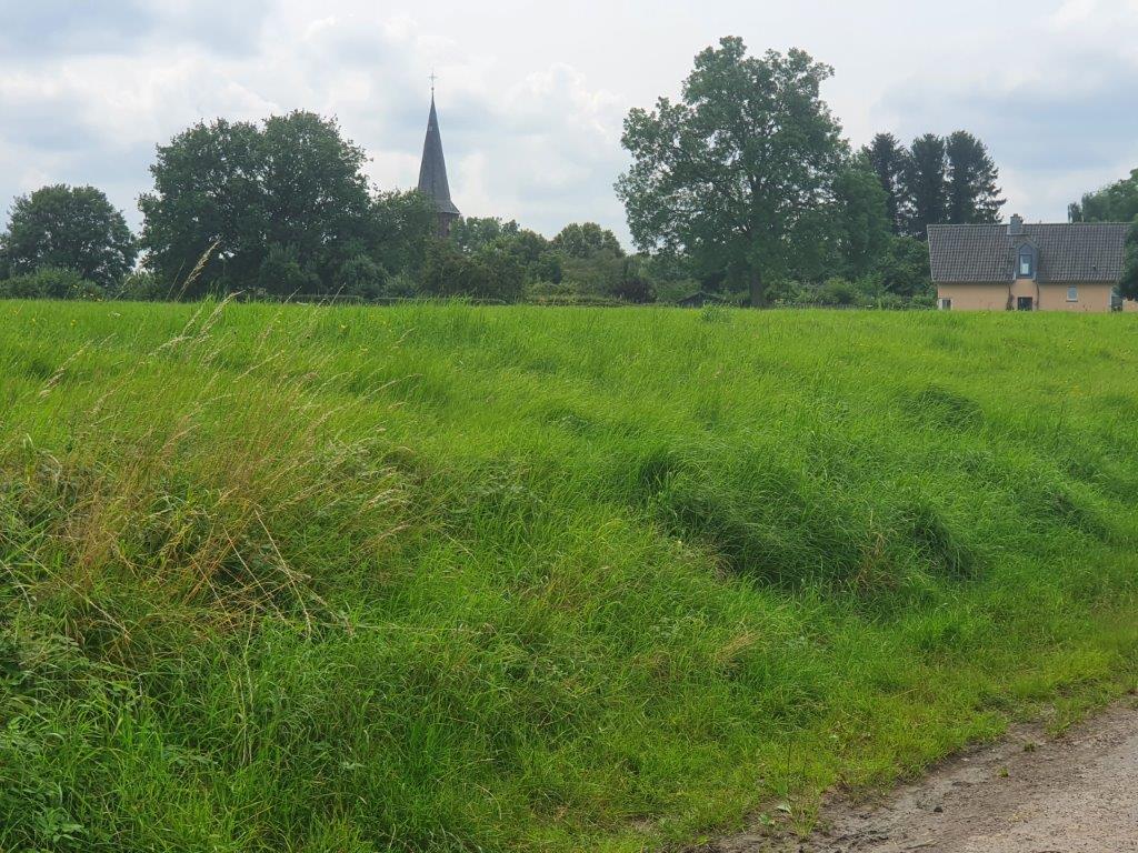
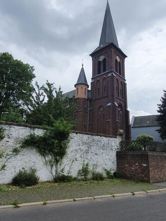
Then the trail descended into the tiny village. The Wandelgek did see the church but not a restaurant or a simple cafë.
Walking on a hill ridge towards Vaals and Vaalser Quartier
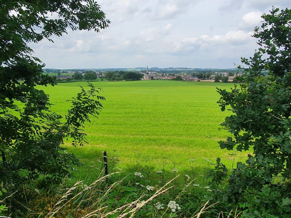
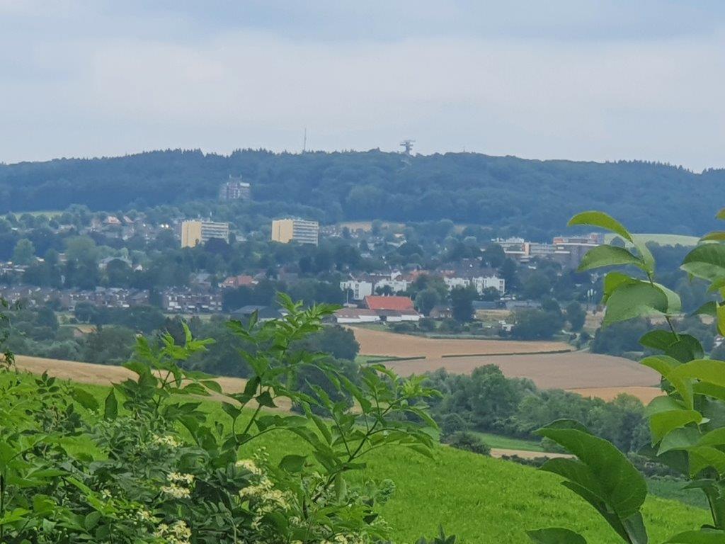
After Orsbach, the DMT turned east and ascended onto a high ridge which overlooked the valley in which Vaals was located. Far away he could see the church of Vijlen again and even the Vaalserberg, the highest hill of the Netherlands. You can see a watch tower on top of it in the pictures below. The DMT walk of toaday was going 1st over the Schneeberg in Germany, which was also the 2nd of the magnificent 7 summits, then down and east towards Vaalser Quartier (a part of Aachen, bordering dutch Vaals) and then ascending to the top of the Vaalserberg ar 322 meters above sea level. From there the trail leaves Germany and briefly enters Belgium. It skirts the border for a while going west now. Then south of Vaalsbroek, The Wandelgek left the trail to seek his overnight stay for the next 2 days at Castle Vaalsbroek.
Climbing Summit number 2: The Schneeberg (The Snow Mountain)
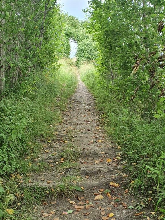
But first The Wandelgek climbed the steep Schneeberg. The ascending trail is going through forest so there are no views.
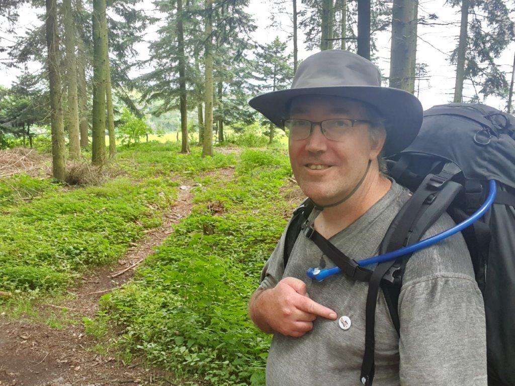
Yay: Reached the summit of the Schneeberg!!!
Vaalserberg
Then the trail went on, going down but staying high above Vaals, ultimately descending towards Vaalser Quartier which is a part of Aachen, attached to Vaals, but divided by a border. The trail still stayed in Germany crossing through Vaalser Quartier and then immediately ascending towards the Vaalserberg summit. This was a relatively easy climb though.
The Vaalserberg is a hill with a height of 322.4 metres (1,058 ft) above NAP and is the highest point in the European part of the Netherlands. The Vaalserberg is located in the province of Limburg, at the south-easternmost edge of the country, near the town of Vaals (after which it is named).
The last stretch towards Vaalsbroek
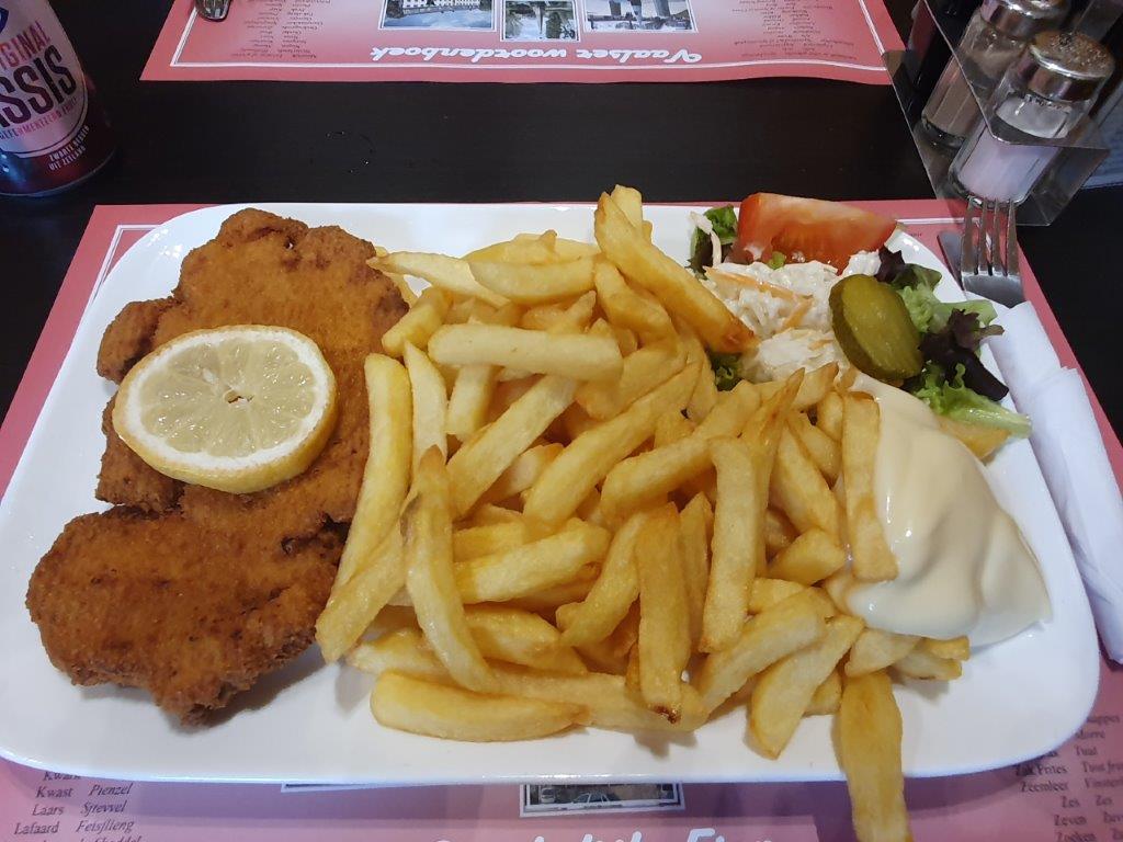
Before reaching Vaalsbroek, The Wandelgek descended to the western outskirts of Vaals and searched for a place to eat. He ended up in a chip shop and ordered a Wienerschnitzel with chips.
Then he went on to…
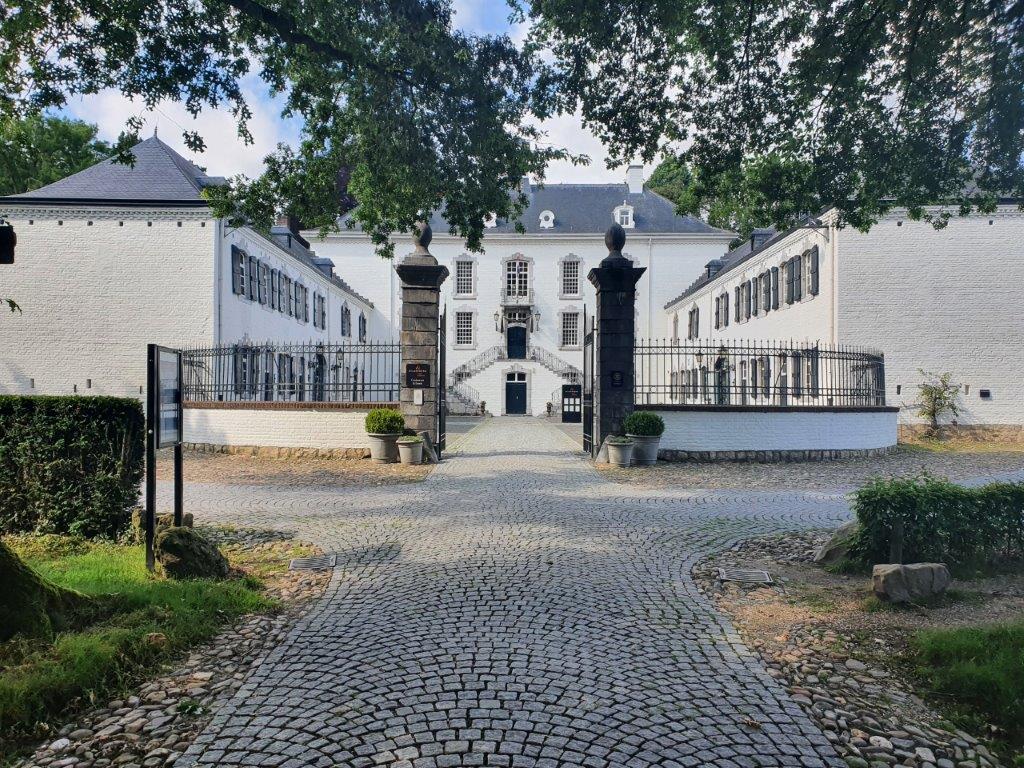
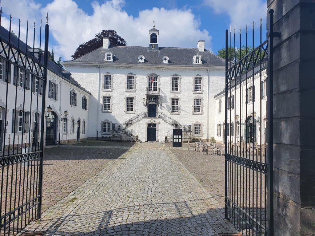
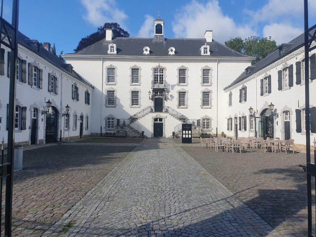
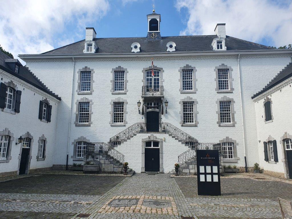
Castle Vaalsbroek
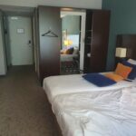
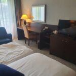
On the property of Castle Vaalsbroek, is a hotel. Guests are sleeping in the hotel, but breakfast at the castle. The Wandelgek was gonna stay here for 2 nights before moving further on the DMT.
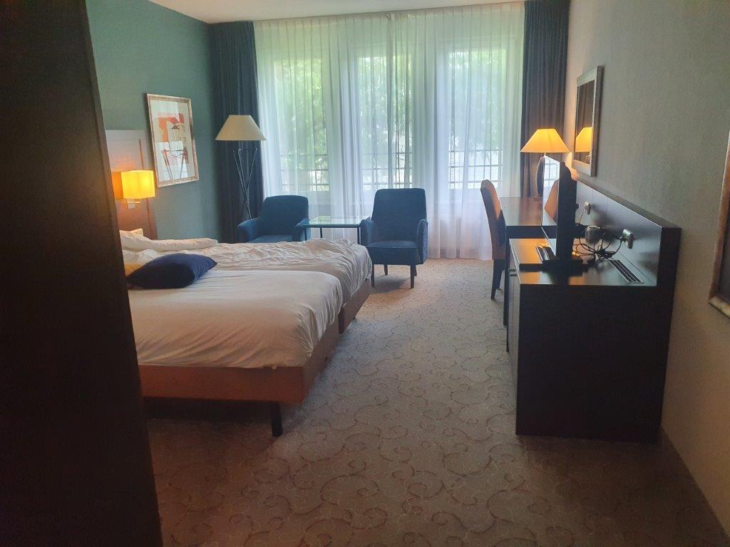
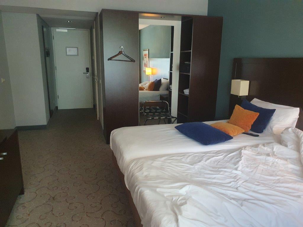
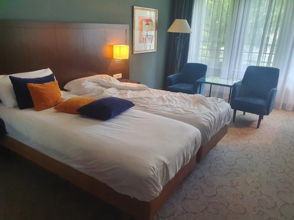
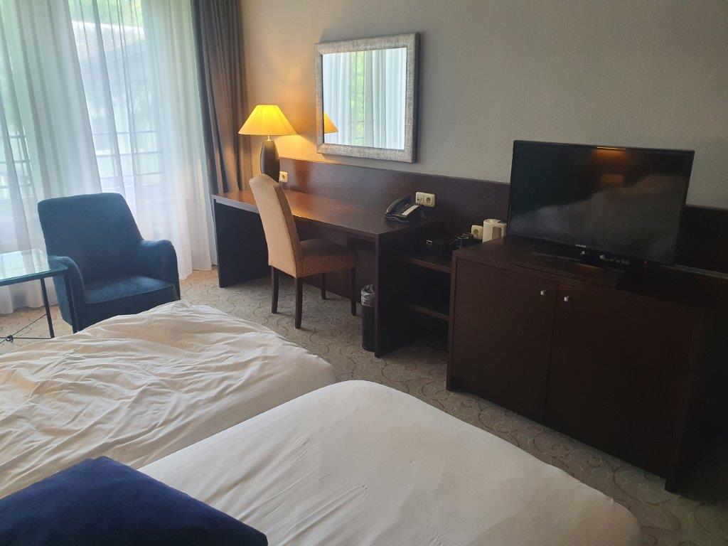
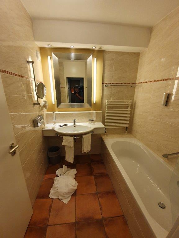
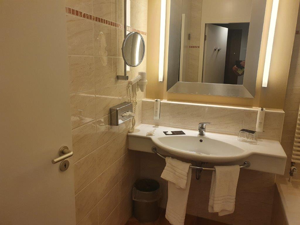
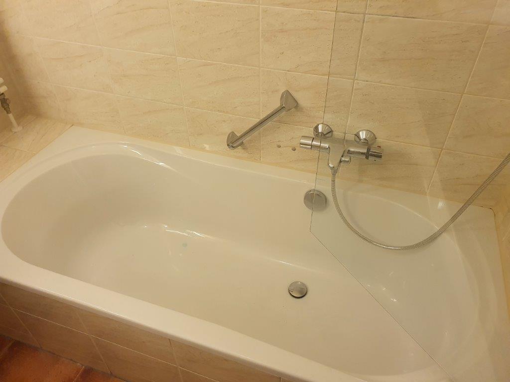
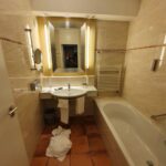
After the check in, a quick shower and leaving his backpack in his room, which included a bath, a large television and lots of space…,
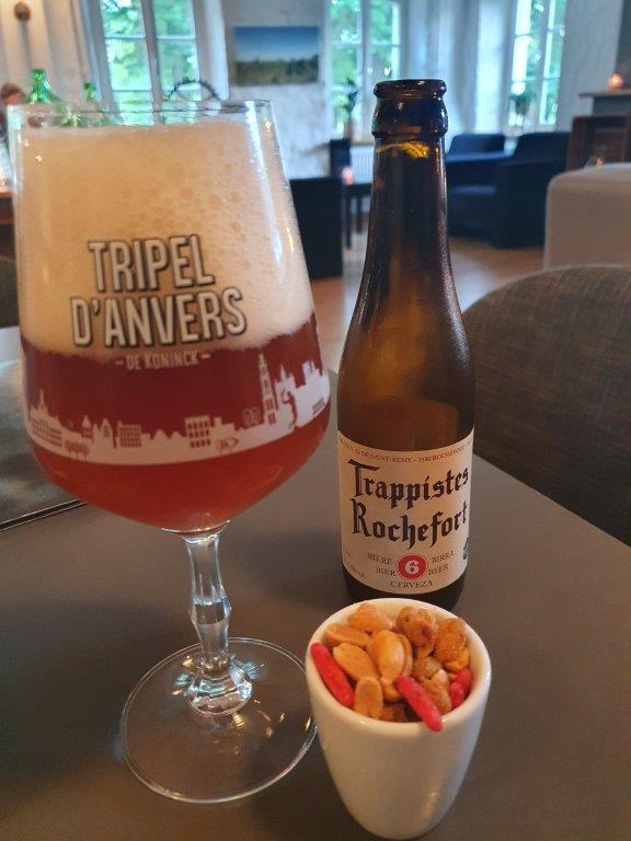
…he visited the bar area and ordered some delicious Belgian Specialty Beers. I got in a discussion about beers and my walks with a waiter and when I couldn’t quite find the beer menu, he suddenly remembered a trappist beer that was kept in the kitchen’s fridge. It was a Trappistes Rochefort number 6 wihich is great, tasty beer to end a long walking day. Not a beer that would call for the Hobgoblin to come over and uther his famous phrase:” Hey Lagerboy, are you afraid you might taste something?” ???
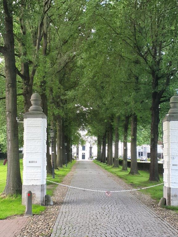
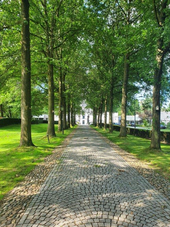
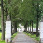
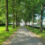
The castle was at the end of a long tree bordered lane…
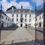
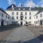
Every morning breakfast was served inside the castle…
After breakfast, The Wandelgek was ready to go on an extensive deviation, completely deviating from his original plans. More about that in my next blogpost…

