Exploring and conquering the Wild East of Siberia
In blogpost The Trans Siberian Express: Yekaterinburg via Omsk and Novosibirsk to Mariinsk (The West Siberian Plain/Lowland) I explained about the period of time in which Siberia was conquered as a part of the Russian empire. But how exactly did this happen?
Siberia was a vast, seemingly endless landscape covered in seemingly impenetrable taiga forests. How did the Cossacks explore and conquer such a vast land?
The answer lies in two things:
1. Opening the way East
After Ivan the Terrible had finally conquered Kazan and Russians had moved eastbound over the Urals to Yekaterinburg, see my blogpost: Window to Siberia: Yekaterinburg/Jekaterinenburg: Capital of the Urals (citywalk), the way even further east was open.
After this several wars followed with the muslim Khanat of Sibirsk and after its defeat the Cossacks conquered Siberia.
2. The way of the Cossacks
The Cossacks worked a bit like trappers did in the US. They travelled on horse back but due to the swamps (melting permafrost), impenetrable taiga forests and other natural obstacles, they quickly discovered that the best way to travel, colonize and conquer Siberia was through travelling by river. They travelled by river and built wooden fortresses (just like the ones built by US soldiers in the wild west) on riverbanks, slowly but surely progressing east. These fortresses often were not occupied for a full year but only temporarily. Around these fortresses small towns appeared.
The tactic to built fortresses was of course instigated after the succesful defeat of Kazan, where Ivan the Terrible had used a fortress as a base from where to conquer the town. See for more about that my blogpost: City walk through Kazan: Capital of Tatarstan
This way the Cossacks slowly conquered all of Siberia. They travelled east in the south of Siberia where there were steppes and less dense forests. They built fortresses at rivers they crossed and travelled north via those rivers. There were however some areas where resistance was considerable. Specially at the Khanat of Sibirsk and further east at the country of the Buryats around Lake Baikal. It took quite some effort and time to conquer these parts of Siberia.
Taltsy
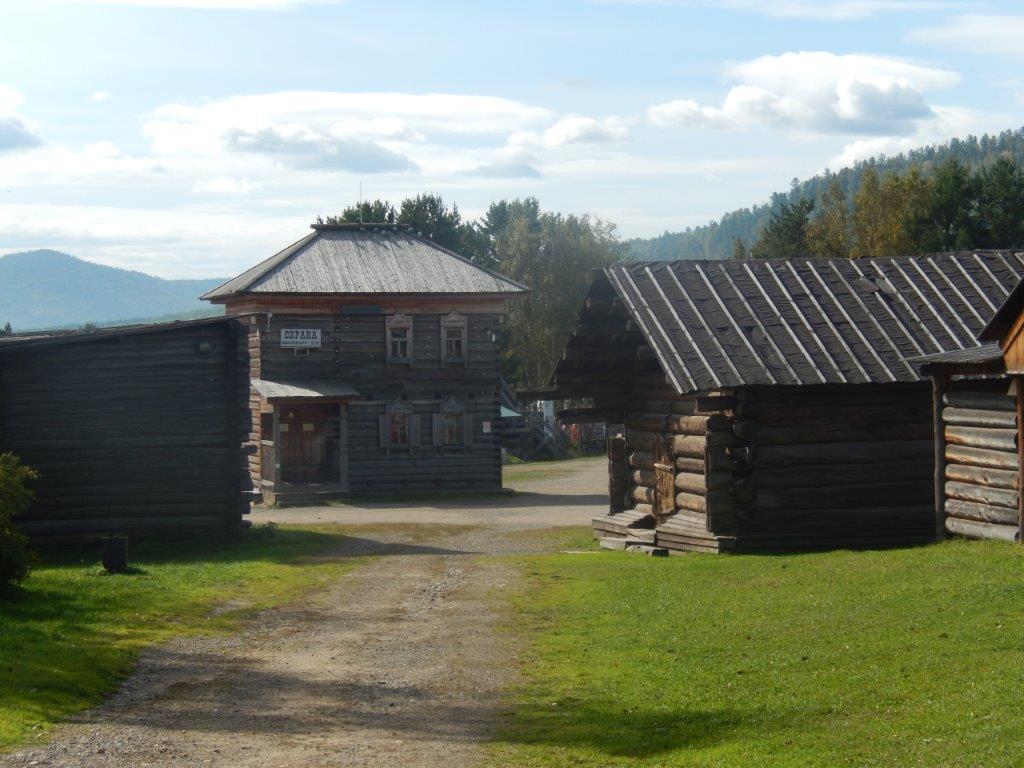
The Wandelgek was now travelling away from Lake Baikal, following the river Angara towards Irkutsk and back to the Trans Siberian Express, but about halfway between Listvijanka and Irkutsk was an ancient wooden fortress and town, at the open air museum of Taltsy.
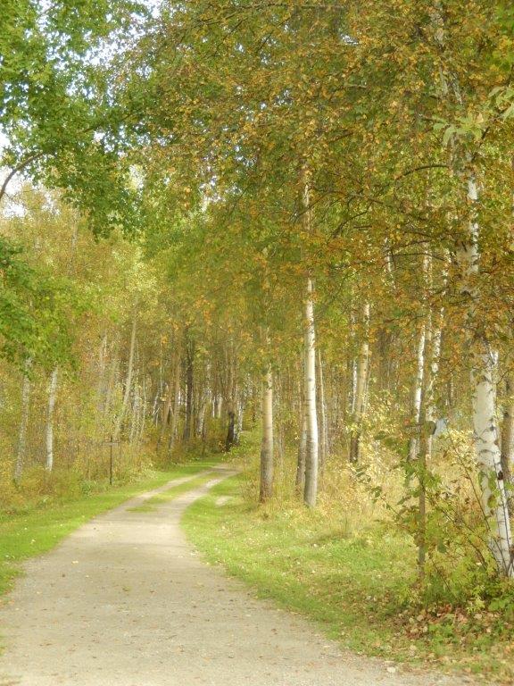
Look for a signpost saying: Музей, meaning: Museum. It is about 47 kilometers from Irkutsk or 23 kilometres from Listvijanka. Busses stop on request at Taltsy and the ticket office is a short walk through a beautiful forest from the roadside.
Here’s a map of the Taltsy area which extends from the road between Listvijanka and Irkutsk to the River Angara and the small village formed by some farms named Taltsy.

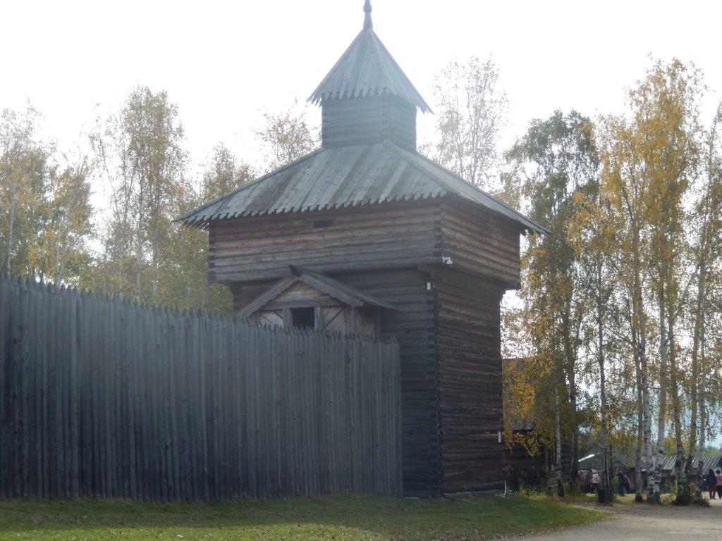
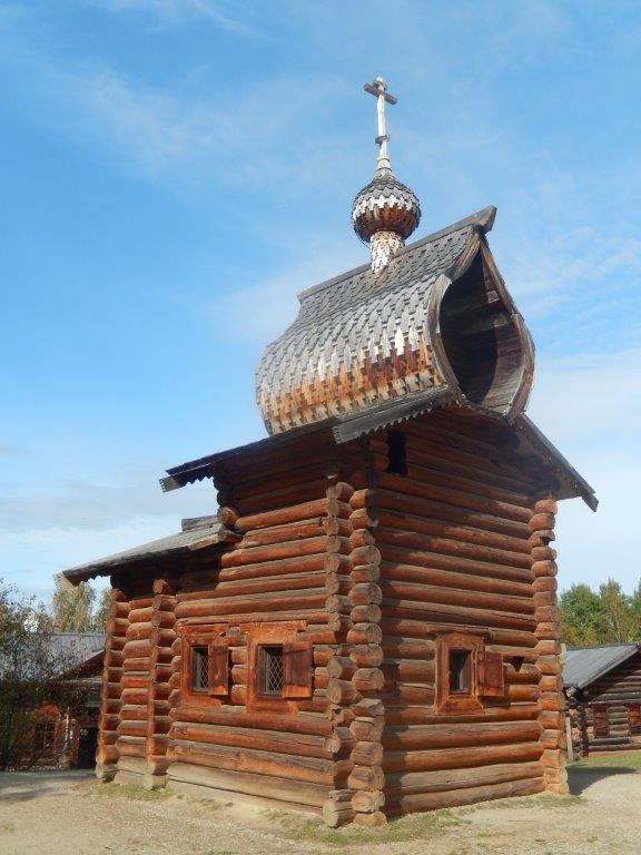
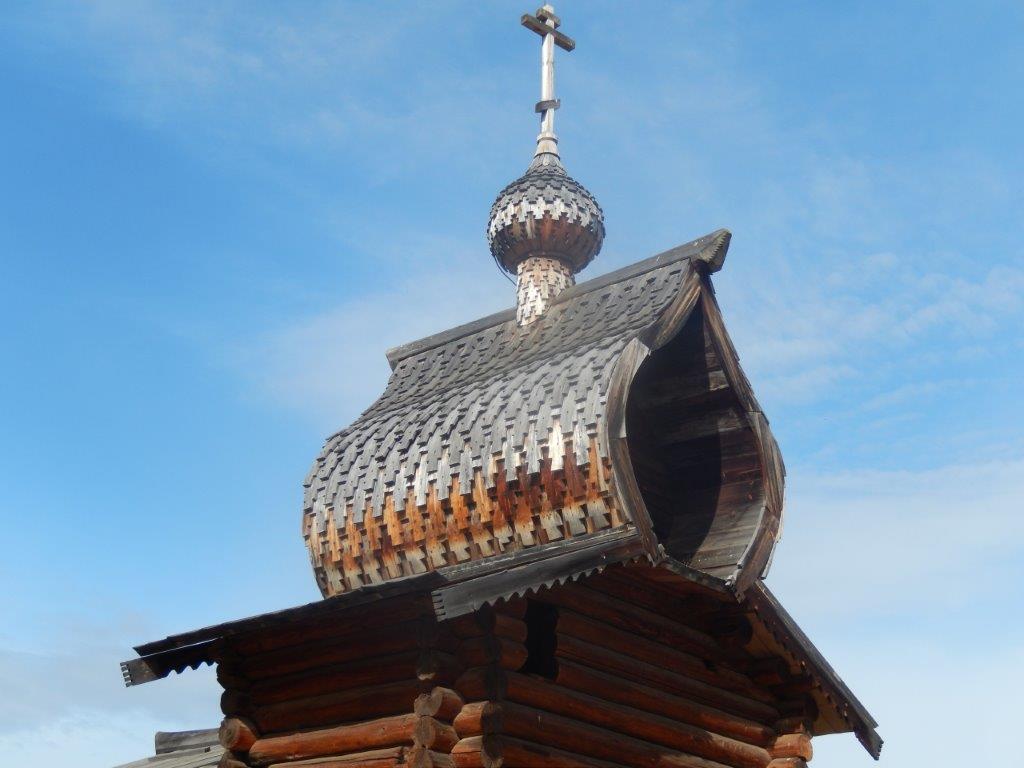
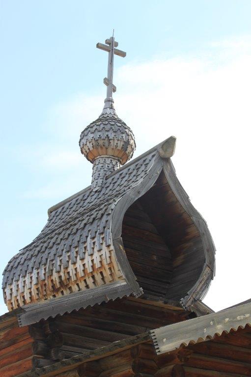
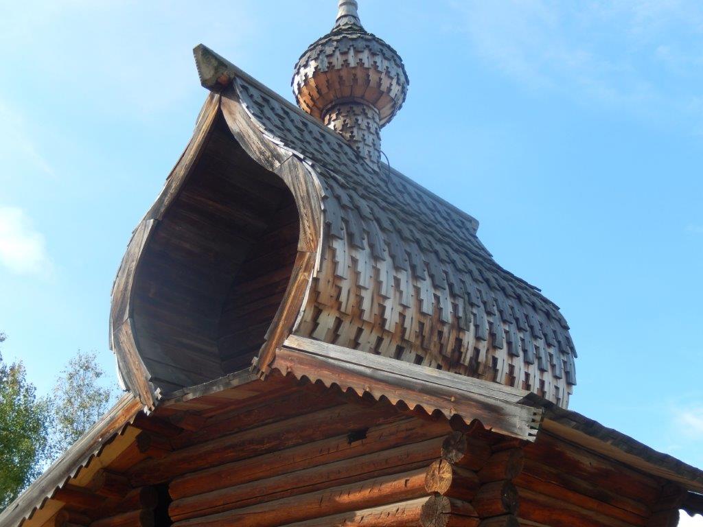
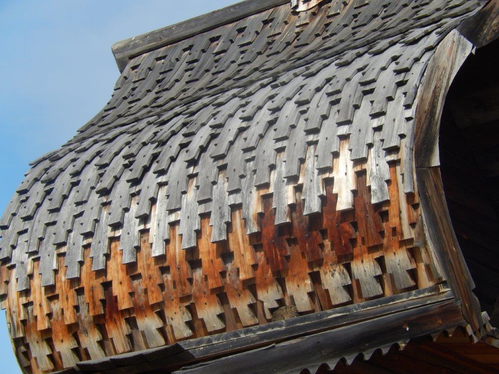
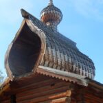
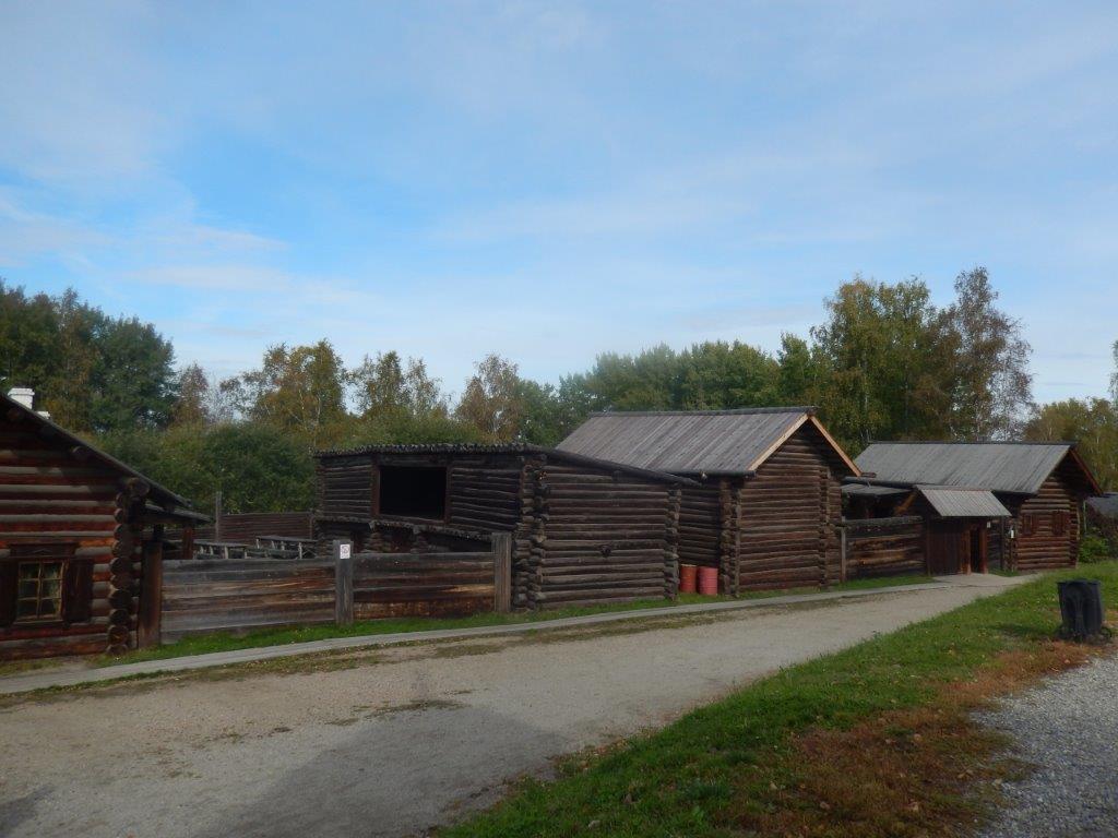
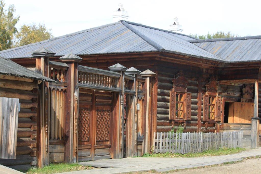
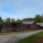
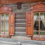
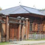
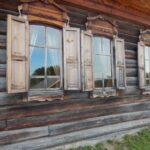
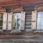
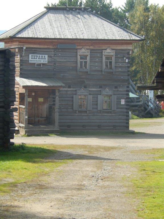
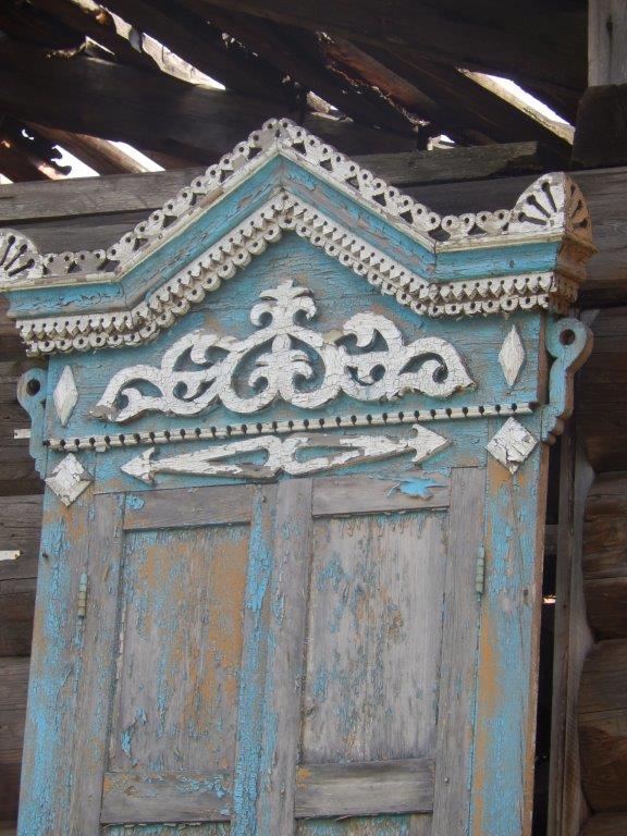
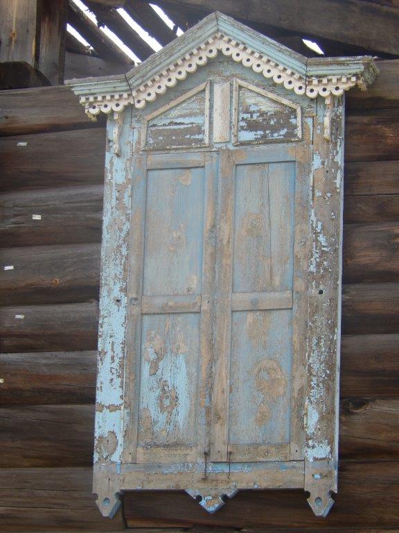
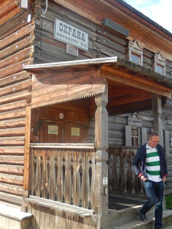
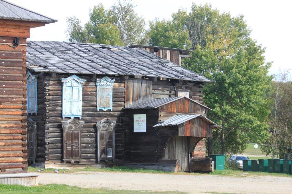
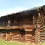
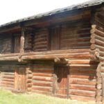
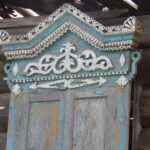
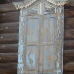
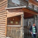
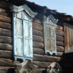
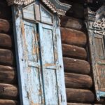
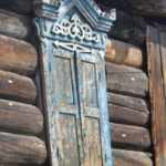
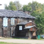
 The Wandelgek walked around through the small town of wooden houses, built around a real wooden fortress accompanied by a small beautiful church…
The full name of this open air museum is The Taltsy Architectural and Ethnographic Museum, which is a unique collection of historical, architectural and ethnographic monuments of the 17th – 20th centuries.
It is located on the right bank of the Angara at the 47th kilometer of the Baikal tract on the road from Irkutsk to Baikal. The open-air museum complex attracts visitors with the possibility of direct acquaintance with the material and spiritual culture of the peoples of the Baikal region.
The museum has retrospectively recreated four historical and cultural zones: Russian, Buryat, Evenk and Tofalar. Buryats, Evenks and Tofs are indigenous peoples of the Baikal region. Evenk and Tofalar camps, a complex of Evenk burials, and a Buryat ulus-letnik tell about their life, peculiarities of life and beliefs.The Russian Angara-Ilimsk exposition zone, which contains monuments of wooden architecture of the Baikal region of the 17th – early 20th centuries, mainly exported from the territory of the Bratsk and Ust-Ilimsk districts of the Irkutsk region, is represented by several groups.
Ilimsk (Russian: Илимск) was a small town in Siberia, within today’s Irkutsk Oblast of Russia. The town was flooded by the Ust-Ilimsk Reservoir in the mid-1970s. (If you read one of my previous blogposts about the Baikal Museum, you’ve seen the model of the Angara River and several dams that were built in it. It is one of these dams that flooded Ilimsk).
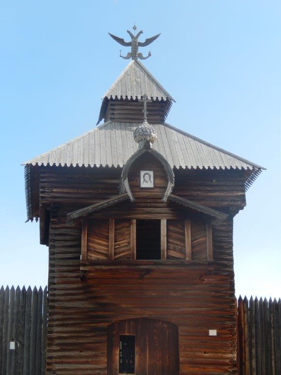
The “Volostnoye Selo” exposition complex, which recreates the administrative center of the late 19th – early 20th centuries, includes the “Volost Board” complex, a parish school, a psalmist’s estate, and a city Cossack’s estate. Its main attraction is the unique monuments of history and architecture of defense and religious architecture: the Spasskaya Passing Tower (1667) and the Kazan Church (1679) of the Ilimsky prison.
Although the museum is somewhat “composed”, it does give a correct impression of how old Siberian settlements started.
The cossacks 1st built a fortress at a river which they were exploring.
Around the fortress people started to make a living from the military attendency. Farmers, hunters, craftsmen, priests, etcetera started building homes around the fortress.
Inside the fortress often a small chapel was built to keep it save from plunderings. Cossack military but also the people around the fortress could visit this chapel.
Whenever an enemy attacked everyone fled from their homes into the fortress.
But the fortress was not always occupied. The Cossacks sometimes returned to Russia to be relieved by fresh Cossack regiments and sometimes these regiments did arrive late or did not arrive. Then the Cossacks who occupied the fortress left the fortress unguarded. They did lock the gates. Another reason to leave could be that new territories had to be explored or conquered. They simply moved on eastward.
The Wandelgek entered the Spasskaya Passing Tower and visited the small exhibition dedicated to the fortress.
There were beautiful black and white photographs of the fortress and of buildings within and of the small chapel in front of the main gate. The pictures were of the original locations of the buildings, before relocation to Taltsy.
An ensemble of three traditionally dressed Russian singers was giving an impressive live performance of their vocal arts:
The singing occasionally reminded me of the Buddhist throath singing which is common in Tibet and Mongolia and probably with the Buryats too.
Dutch 15th and 16th century exploring and mapping of Russia including Siberia
On the wall was a beautiful but somewhat strange map of the area where the village of Iliminsk had been, before the dam in the Angara had flooded the area:
Can you see what is remarkable about this map? There is more than 1 remarkable thing about it.
TIP: Think Tolkien!
Answer(s):
1st of all: North is South and East is West or better: North is down and South is up, West is right and East is left.
This is not the current standard for maps, where the north is always up, on top/above of a map.
2nd: The map is full of Dutch language, which immediately awoke my interest in it. De 4 wind directions are in old Dutch:
- Zuydt
- West
- Nooort
- Oost
, but also the written remark on top, just above the Russian map title:
Caert van het landt en stadt Ylymscoy
This is not Russian at all, but old Dutch ! How the heck did that get there and why? I mean come on! This is an old map somewhere in the furthest regions of Siberia and it has Dutch words on it! I also mean: “I’ve just travelled for about a week from Amsterdam continuously going east and east and east via Moscow, through Tatarstan and the Urals and a very large part of the impenetrable Siberian Taiga, to arrive in a small Siberian settlement which Irkutsk was in the 15th and 16th century to find a map that includes Dutch language ?!?!? WTF????? I thought of this as quite mindblowing.
The rest of the map is in Russian language though.
After some research through google I found the map as:
DRAWING OF THE LAND OF THE ILIM CITY. THE DRAWING BOOK OF SIBERIA, COMPILED BY THE SON OF TOBOLSK BOYAR SEMYON REMEZOV IN 1701
Drawing of the land of the Ilimsk city [Maps] = Caert van het Landt en Stadt Ylymscoy: sheet [16]. – [B. m-ba] .
1. Territory of Russia (collection). 2. Ust-Ilimsk, city (Irkutsk region) – Geography – early 18th c. – Maps. 3. Geographic maps.Sources: https://www.prlib.ru/en/node/462798
But this still didn’t explain the Dutch connection.
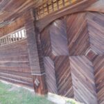
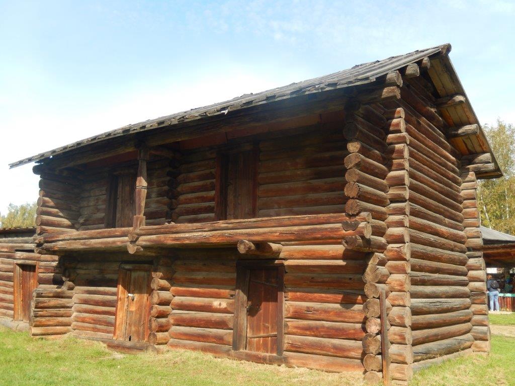
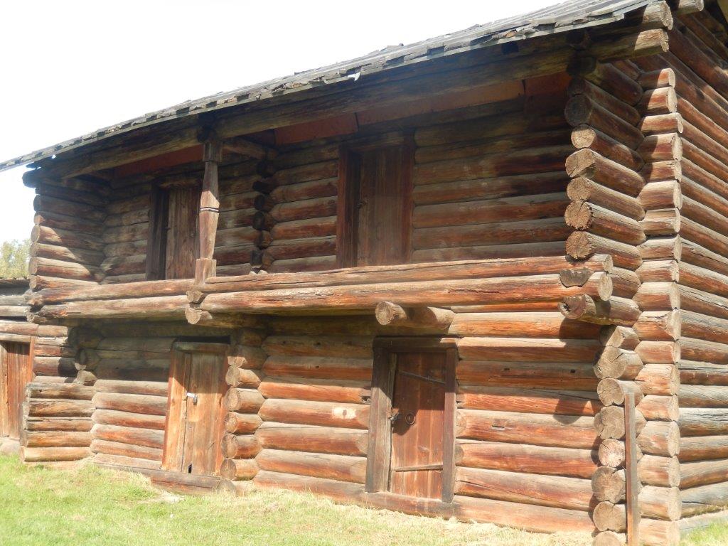
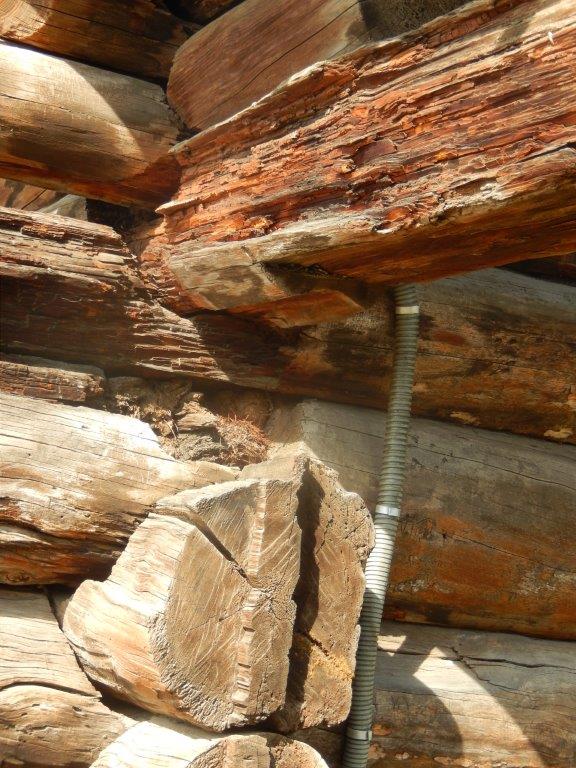
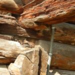
I searched a bit further and then I discovered a 104 pages Newsletter from the dutch University of Utrecht about buildings and building methods. In it was a contribution, starting on page 69, written by G. van Tussenbroek, titled: Blokbouw rondom Irkoetsk, about Block building (dutch: Blokbouw) which is a building method that uses wooden tree trunks to build walls. And guess what? That is the main building method found at Taltsy and it is the method that was used for a long time to build houses in Siberia. Not only in Siberia, but also in lots of other countries on the same geographic latitude, like Scandinavia, Gotland, Finland, in Germany in Vorpommern, Thuringen, Saxen, in Bohemia, Switzerland, Austria, Hungary and the former Yugoslavia, in Russia, Canada and the US. Exception of a country where no block building methods were used, was The Netherlands, probably because of the fysical conditions of the country and because of the lack of large forests needed to gather the neccesary wood. The only block build house by the Dutch would probably be the “Behouden huys”, built by Willem Barentsz and his crew of explorers and whale hunters on the Russian island of Nova Zembla.
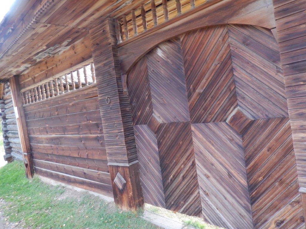
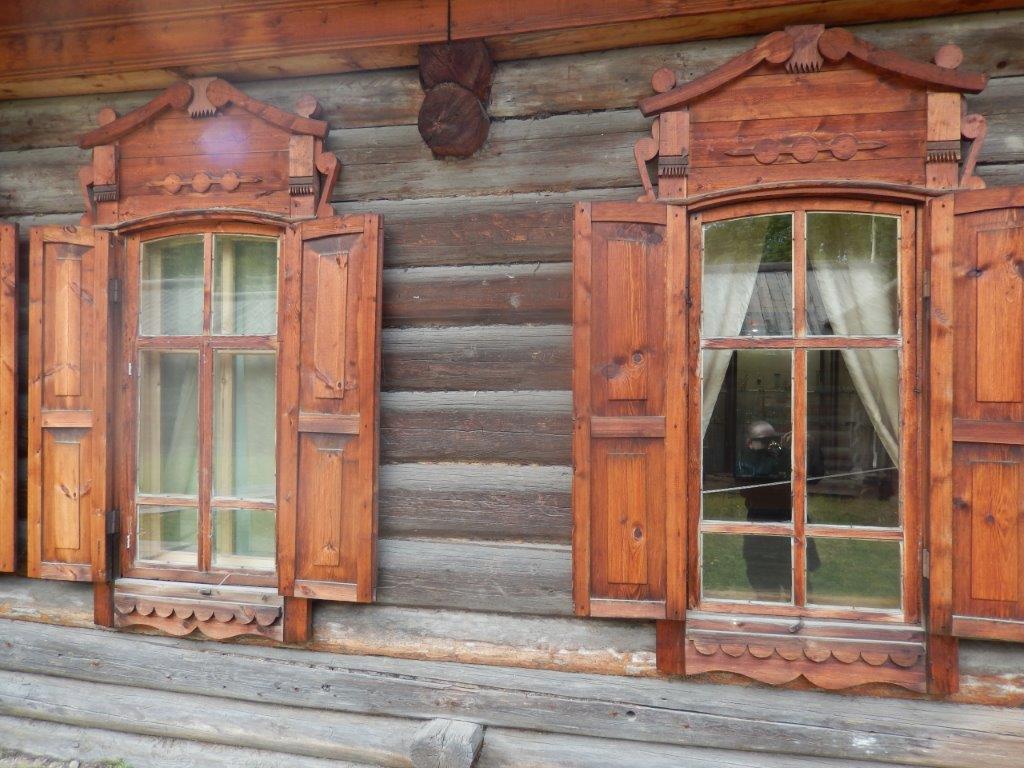
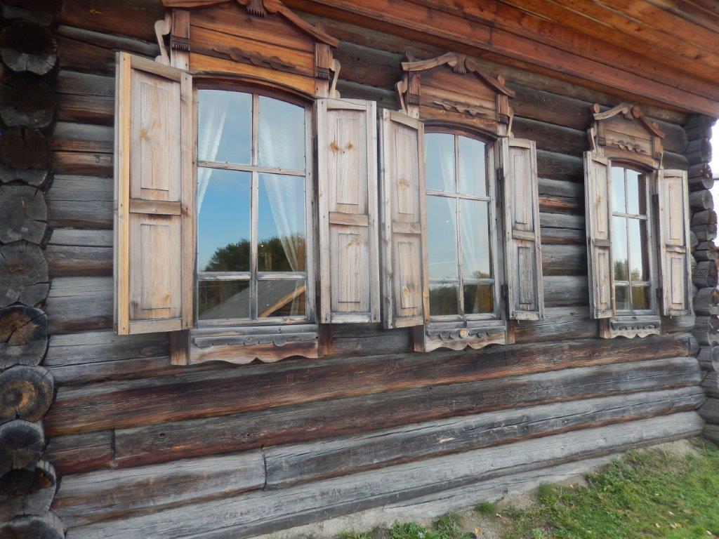
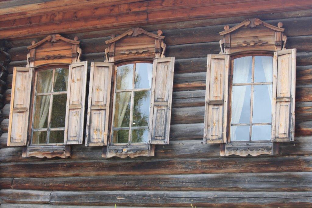
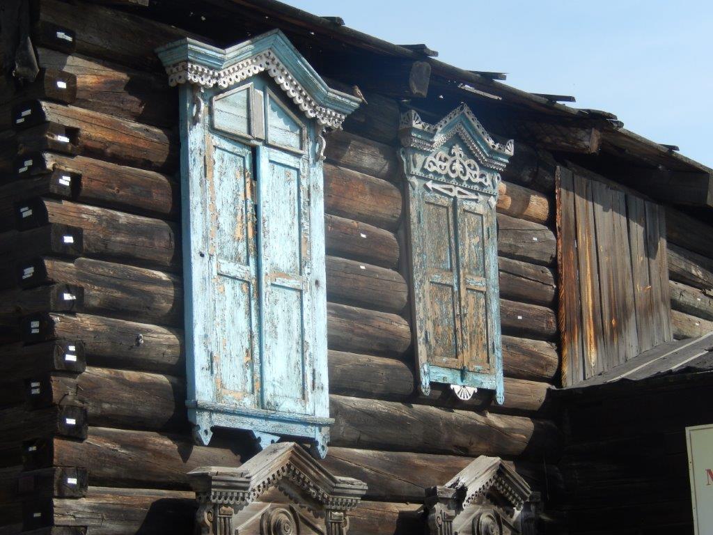
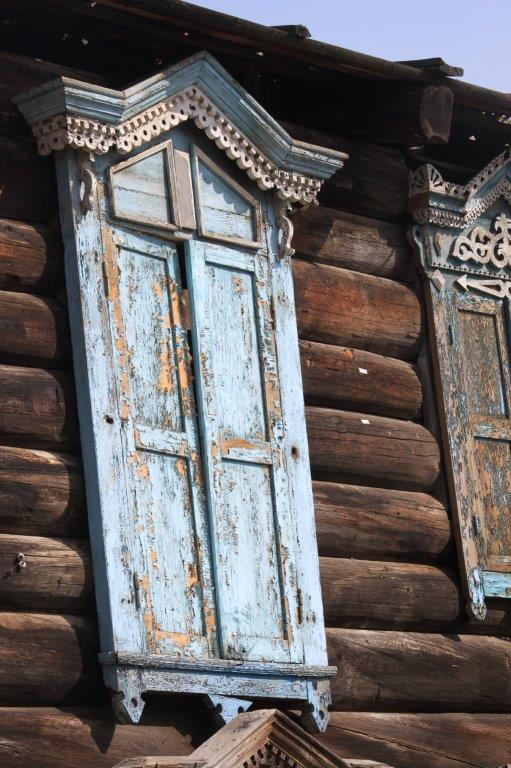
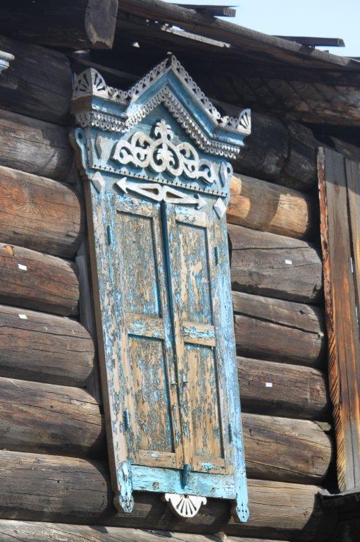
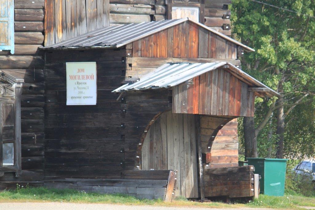
All of the buildings shown further below and the fortress shown above are built using the block building technique!
But lets return to the map.
The history of the city of Irkutsk (where The Wandelgek was going to after this visit to Taltsy) begins in 1661. In the next decennia the huge area around Irkutsk had to be explored and mapped. Remarkable about that was the involvement of the Dutch.
The Dutch, in those days, had achieved considerable fame as explorers and as map makers (think of famous map makers like Gerardus Mercator (who initiated the word: Atlas), Willem and Johan Blaeu and publishers like Christoffel Plantin, both from Dutch origin and of famous explorers like Willem Barentsz, Jacob Roggeveen, Willem Janszoon and Abel Tasman. This could explain why the Dutch were invited to join in the exploration and mapping of Siberia.
The 1st map, drawn in 1701 (this is the map shown above and exhibited in Taltsy), is not prove of great land surveyorship. The map does not show the correct proportions and contains several inconsistencies however it does prove the Dutch involvement.
The first Cossacks and Russians that settled themselves in and near Irkutsk lived of hunting and the subsequent trade in animal skins. This immediately made me think of the north american trappers/hunters like famous Davy Crockett and like the trapper recently depicted in The Revenant by Leonardo di Caprio.
Around 1675, the fortress of Irkutsk contained about 400 Cossack farms and in 1686, Irkutsk received city rights from the Tsar. It kept developing as a gateway between East Siberia and the Far East and after the city really boomed in the 18th centurry, it also became important as a trade center for trade with China.
More information can be obtained from this excellent source:
https://www.bouwhistorie.nl › …PDF
Another clue to how important the Dutch were in this proces was the connection between the Russian Tsar and a Dutchman named Nicolaes Witsen, who mapped European Russia including Tatarstan.

Map of Tatarstan by Nicolaes Witsen (8 May 1641 – 10 August 1717), a Dutch cartographer and an authority on shipbuilding, in service of Tsar Peter the Great, who had been Peter’s mentor when he visited Holland.
It was very likely, this connection would also have instigated the Tsar to ask Dutch cartographers and explorers to come to Siberia as well
More info about this: Nicolaes Witsen
A chapel within the fortress was a problem for the people living outside of the fortresses, therefore chapels started to appear outside of the fortress gates.
Combined with farms and the first huts and later houses, this became the first settlements of Siberia.
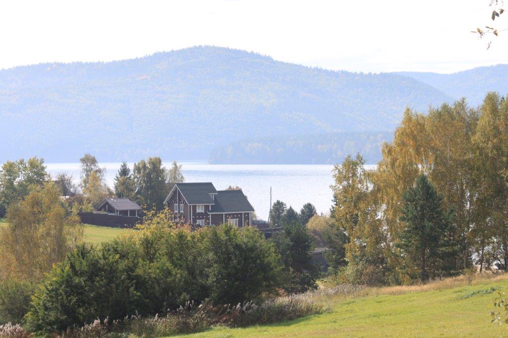
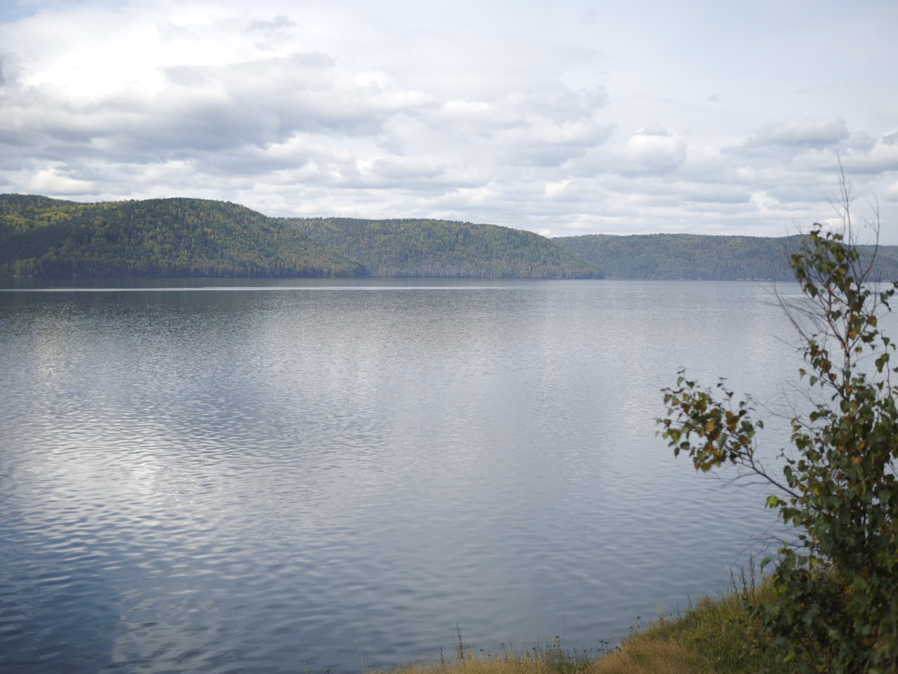
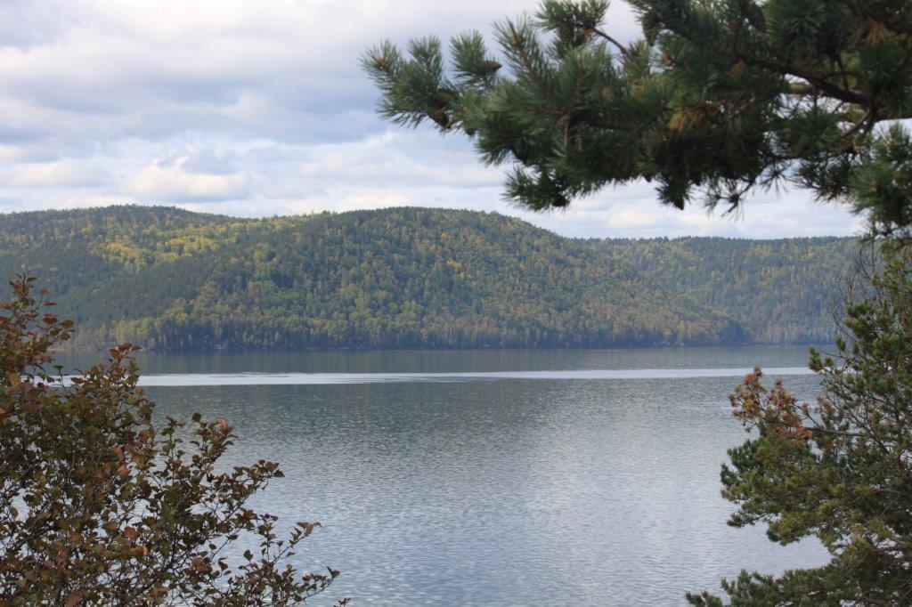
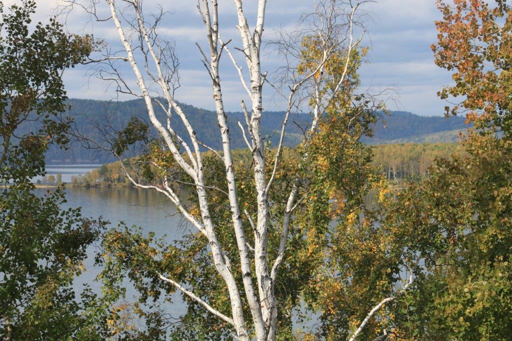
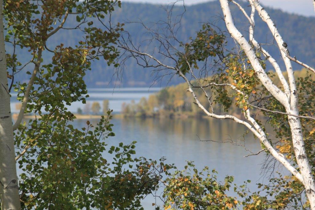
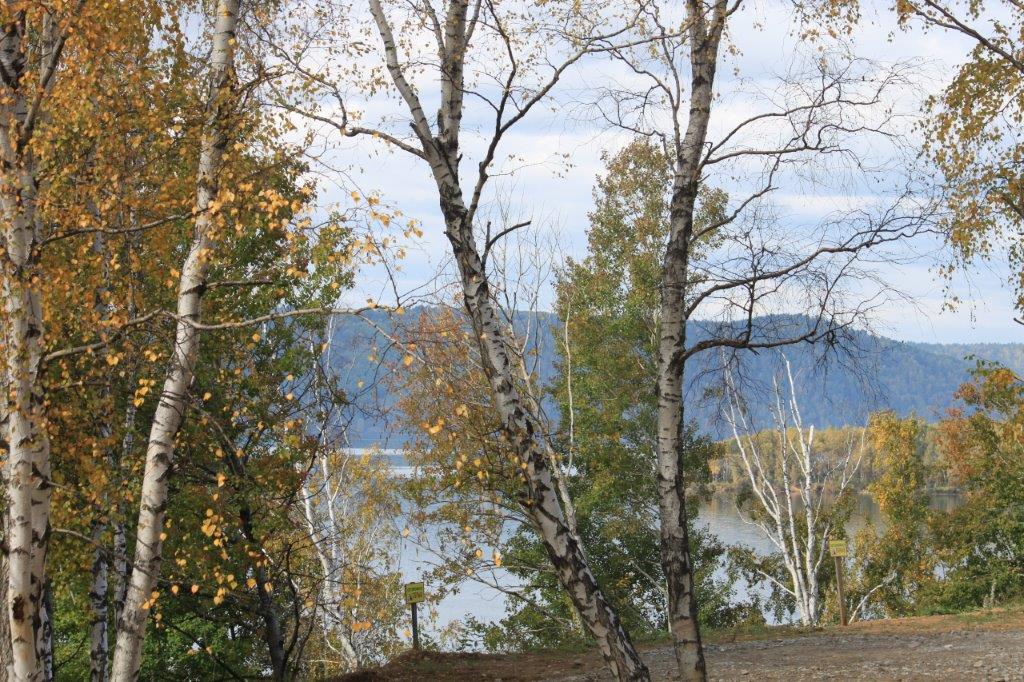
Walking between the wooden architecture The Wandelgek slowly walked oit of the village and saw far away at the other side of a meadow, the river Angara slowly flowing by.
He then walked towards the river leaving the village behind him, enjoying the wildness of Siberia…
After the Cossacks and the Russian hunters and skin traders (trappers) came the gold and mineral miners to Siberia…
The Wandelgek returned towards the village, but it was part he had not visited before…
Buryats
Inside one of the wooden structures was a small but very interesting exhibition about the Buryat culture (the next section of the railway journey would go through the Republic of Buryatia before reaching the Mongolian border).
The Buryats are a Mongolic people, numbering approximately 500,000, and are the largest indigenous group in Siberia, mainly concentrated in their homeland, the Buryat Republic, a federal subject of Russia. However, some Buryats also live in Mongolia (in the northeast) and in Inner Mongolia in China. They are the major northern subgroup of the Mongols.
It is even possible to draw comparisons with the north american indian tribes that were routed when the US were moving westward but here these tribes were not routed, although they were battled and subjogated, but they were never routed or put into reservates. Instead republic was created where they could live and most Buryats live there although some live in neighboring oblasts, like the Irkutsk oblast where The Wandelgek was now.
Another reason to draw comparisons with north american Indians is the use of the portable Ger (or Yurt in Russian). I will come back on this issue in a later upcoming blogpost of my travels through Mongolia but to lift a tip of the veil: the oldest ancestors of the ger looked like tipis.
Buryats share many customs with other Mongols, including nomadic herding, and erecting gers for shelter. Today, the majority of Buryats live in and around Ulan-Ude, the capital of the republic, although many live more traditionally in the countryside. They speak a central Mongolic language called Buryat. According to UNESCO’s 2010 edition of the Atlas of the World’s Languages in Danger, the Buryat language is classified as severely endangered.
Spiritual and Religious life
Buryats traditionally practised shamanism, with a focus on worship of nature. A core concept of Buryat shamanism is the “triple division” of the physical and spiritual world. There are three divisions within the spirit world: the tengeri, the bōxoldoy, and lower spirits. These spirits are the supreme rulers of mankind, the spirits of commoners, and the spirits of slaves respectively. In parallel to this is the concept that man is divided into three parts: the body (beye), the “breath and life” of a man, and the soul. The soul is further divided into three parts: first, second, and third. The first soul is contained within the entirety of the physical skeleton, and that damage to it damages the soul. Rituals involving the sacrifice of animals involve great care not to damage the bones, lest the deity receiving the offering reject it. The second soul is believed to have the power to leave the body, transform into other beings, and is stored in the organs. The third soul is similar to the second, differing only in that its passing marks the end of one’s life.
Shamanism
A majority of the Buryats are followers of Buddhism. The Buryats converted to Buddhism in the early eighteenth century under the influence of Tibetan and Mongolian missionaries.
Shamans are divided into two classes: “great” shamans of arctic regions and “little” shamans from the taiga. Shamans often are associated with nervous disorders, and in some cases are prone to seizure. Shamans can also be divided into “White” shamans that summon good spirits and “Black” shamans that summon malicious ones. Yellow shamanism refers to shamanistic practices that have been heavily influenced by Buddhism.
Shamans exist to heal, especially in regards to psychological illnesses. Buryat shamanism is not necessarily hereditary, and other members of the kinship-group can receive the calling (however, shamans do keep records of their lineage, and a descendant is preferred). Shamans could both control and be controlled by spirits.
Subsistence
Traditionally, the Buryats were semi-nomadic pastoralists. Buryat nomads tended herds of cattle, sheep, goats, and camels. Buryats also relied greatly on local resources to supplement their diets.
Following colonization by Russia, pastoralism was gradually replaced by agriculture.
The Buryat of today are largely agrarian but most in rural areas still focus on raising livestock as their main way of surviving.
The Buryats located in Siberia are still largely focused on raising livestock due to the shortness of the growing season. They focus on the raising of dairy cattle and the growing of berries to sustain most of their diet. There are also some communities that farm various types of trees and cash crops such as wheat and rye. On the slopes of the Sayan and Altai Mountains, there are communities whose way of life is breeding reindeer.
Mongolian Buryats are farmers as well but are typically semi-settled. They build sheds and fences to keep livestock contained and use hay as their main source of food for the livestock. However, the Buryats located in Buryatia are more focused on the agriculture aspect of farming and not the livestock raising aspect.
Maybe the most famous person from Buryat decendance was actor Yul Brynner who played Taras Boulba in the movie carrying that name and he also is famous for his role as the villain robot cowboy in the original movie Westworld (upon which the HBO-television series was based).
The Republic of Buryatia (Russian: Респу́блика Буря́тия) is a federal subject of Russia (a republic), located in Siberia in Asia. Formerly part of the Siberian Federal District, it has been a part of the Russian Far East since 2018. Its capital is the city of Ulan-Ude. Its area is 351,300 square kilometers (135,600 sq mi) with a population of 972,021 (2010 Census).

Further colonization of Siberia
In later years miners were added to the villages where minerals could be mined and even later there were railway builders and gulag prisoners living in Siberia, both used as workers on the Trans Siberian Railway.
The Trans Siberian Railway brought more people from Russia into Siberia and eventually the first cities evolved around the railway.
It is quite similar to how the US’s Wild West was populated (think of the military fortresses the great journey west and the building of the railway tracks going to California.
Last walk along the River Angara
There was still a bit time left for another walk along the river towards where the minibus was parked…
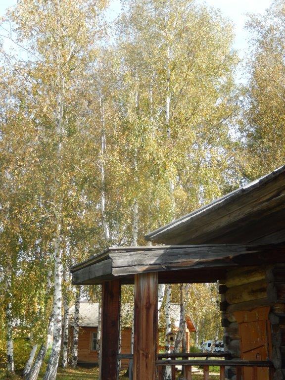
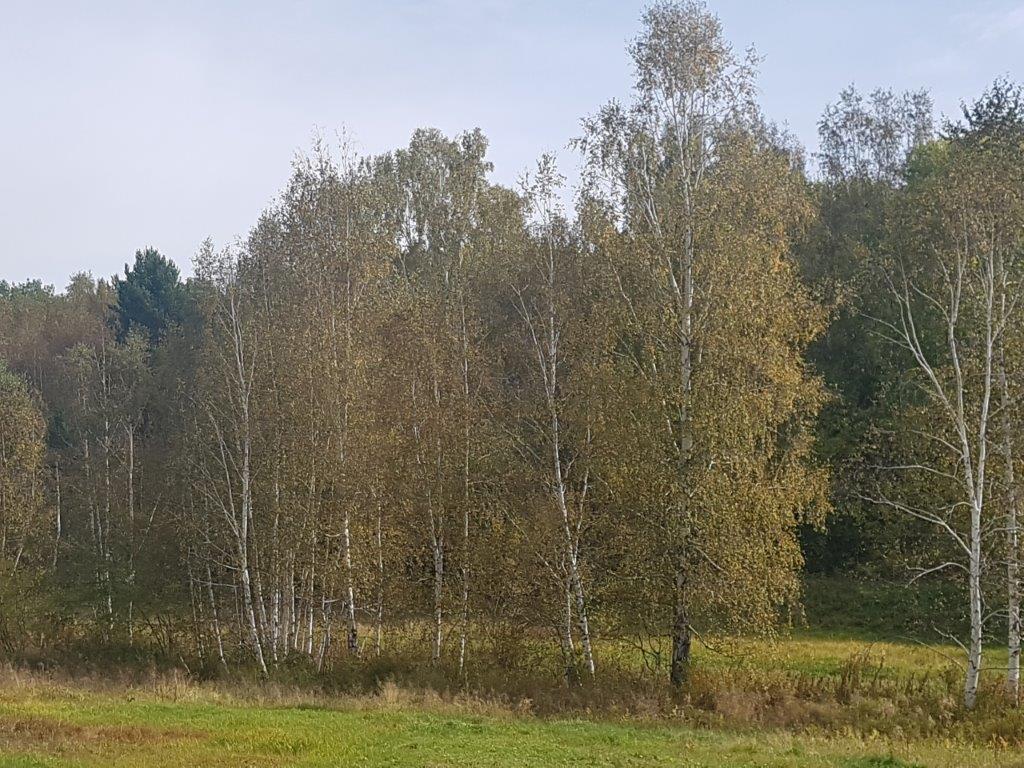
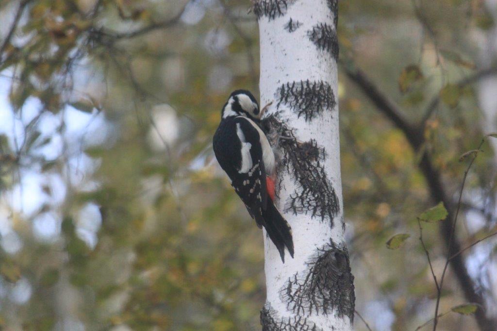
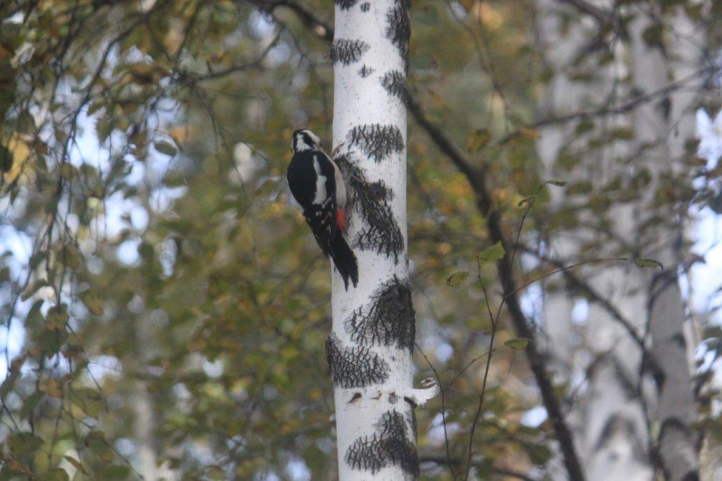
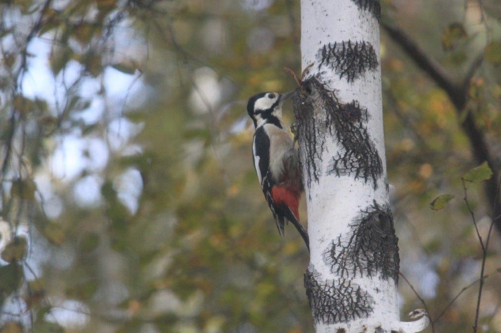
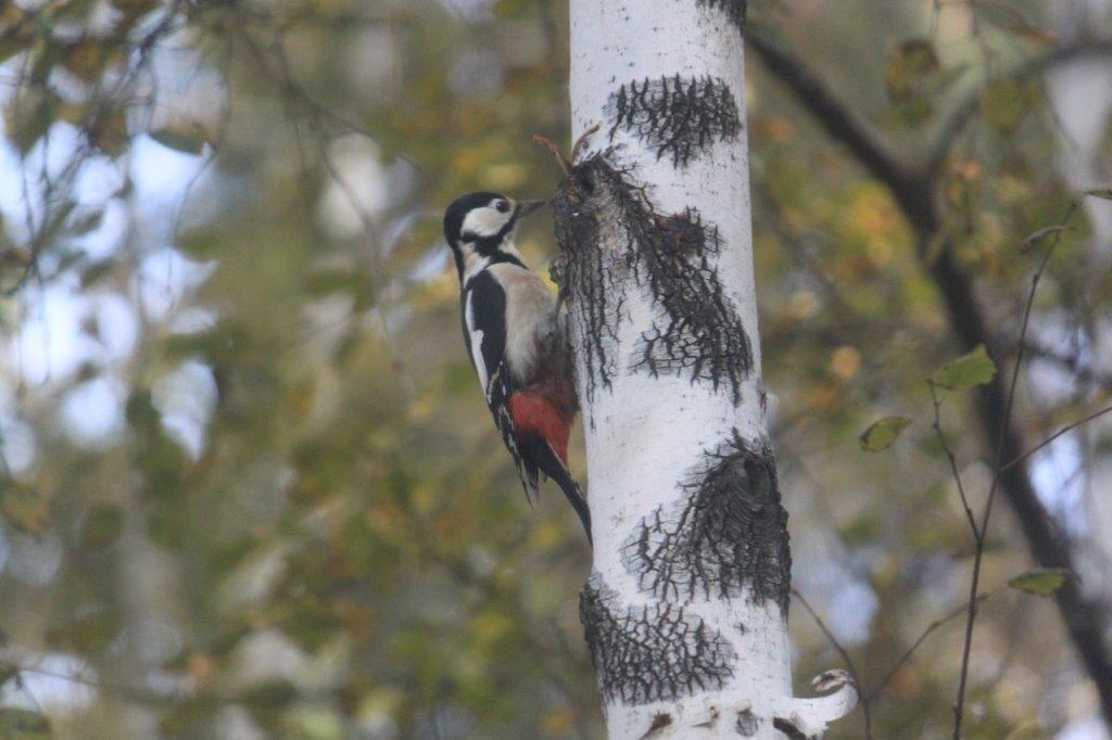
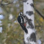
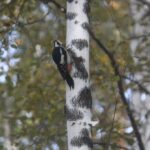
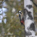
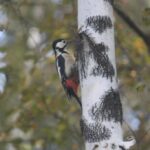
A Great Spotted Woodpecker showed itself and it looked extra gorgeous, sitting on the black & white trunk of a birch tree.
After a few hours roaming around, The Wandelgek entered the minibus towards Irkutsk where he would stay until the next day.


