The Great Baikal Trail (GBT): 24 kilometres from Listvijanka to Bolshiye Koty (Pribaikalsky National Park/Lake Baikal – UNESCO World Heritage site)
Introduction
The Wandelgek had planned to go for a long distance walk the day after his arrival in Listvijanka. When he prepared this, while still at home, he had noticed that there was a section of the Great Baikal Trail starting from Listvijanka going via Bolshiye Koty to Bolshiye Goloestno, which is a 54 kilometer distance. To far for The Wandelgek, but this trail was divided into 2 sections, The first one was a 24 kilometer section going from Listvijanka to Bolshiye Koty.
Personal history: Late in 2018, The Wandelgek started to develop a knee injury that kept him from walking long distances until April 2019. Then he was able to start training again, carefull though, 1st small trails of about 9 kilometers and gradually increasing the distance (and speed) up to 15 and 18 kilometers max.
When he prepared his TransSib journey, he knew he wanted to be able to walk some real long distances again in Siberia and in Mongolia. Russia does not have a history of walking trails so in the beginning The Wandelgek thought he needed to create his own trails, using detailed maps but soon he found out that there were in fact quite good existing trails at Lake Baikal.
While planning his itinary through Russia The Wandelgek noticed that lots of travellers (coming from the Trans Siberia Express in Irkutsk) visited Lake Baikal, but only for a couple of hours and then left again to return to Irkutsk and get on the train again. The Wandelgek did not want that. Up ’till this point, the journey had been a chain of citytrips from Moscow to Kazan, to Yekaterinburg. This needed to change.
The Wandelgek’s idea of travelling through Siberia and Mongolia was that of travelling through nature, walking and hiking and getting to know the area more extensively.
He therefore decided he needed to leave the TransSib for at least a couple of days to be able to get to know the environment (visit musea visit locals, etcetera) and to do at least one long distance trail to see and test whether his knee would hold and his physical condition was strong enough to do some walking in Mongolia later.
The Great Baikal Trail (GBT)
The Great Baikal Trail or GBT (Russian: Большая Байкальская Тропа or ББТ (Bolshaya Baikalskaya Tropa or BBT)) is a Russian non-profit environmental organization promoting the development of ecotourism, voluntary work, and ecological education. Based in Irkutsk, Russia, GBT is working to build hiking trails around Lake Baikal. Over the last 10 years, from 2003 to the end of 2012, GBT has run over 180 international projects, building or improving trails at various points throughout the Siberian regions of Irkutsk and Buryatia with the help of more than 4,500 volunteers from around Russia and the world.
Mission
The mission of the Great Baikal Trail is to promote the sustainable development of ecotourism in the Lake Baikal region as an alternative to industrialism. Their mission is for an overall goal of the preservation and protection of the environment, through an increased awareness of environmental issues. They also work towards creating more socially responsible community spirit, as well as a healthier lifestyle in the region. They hope to increase international cooperation and create more collaborative programs with local and international organizations.
More specifically, they hope to achieve this through the creation of a single system of environmental trails around Lake Baikal, developing of a special kind of Russian tourism called “volunteer vacationing.” They organize a number of Russian and international cooperative programs, attracting young people to various environmental, educational, and other community programs. They aim to create a means for guaranteeing good communication and mutual support amongst community groups, government agencies, local businesses, and Baikal residents. GBT conducts educational programs, along with organizing various public conferences, discussions, seminars, and workshops. They form environmental teams to tackle various issues, with numerous field expeditions.
More information about the Great Baikal Trail can be found at: Great Baikal Trail
Pribaikalsky National Park
Here’s a map of the National Park (which is part of the UNESCO World Heritage site of Lake Baikal):
Pribaikalsky National Park (also spelled Pribaykalski, Russian: Прибайкальский национальный парк) covers the southwest coast of Lake Baikal in southeastern Siberia. The coastal strip includes some mountain ridges to the west as well as offshore islands such as Olkhon Island to the east. It is about 50 km southeast of the city of Irkutsk, Irkutsk Oblast. The park is managed with three other nature reserves, and is a major component of the UNESCO World Heritage Site “Lake Baikal”. The Angara River, which is the outflow of Lake Baikal west into the Yenisei River basin, runs through the park. The park has very high levels of biodiversity and endemic species.
The Angara River flows from Lake Baikal towards Irkutsk and the first kilometers it crosses through the Pribaikalsky National Park. The trail The Wandelgek wanted to walk was going through this National Park too. The villages of Listvijanka, Bolshiye Koty and Bolshiye Goloestno were all within the parks boundaries. However, to visit these villages (except maybe Bolshiye Koty, no permit was needed. But to walk the trail(s) or to camp or to make a campfire, a permit was obligitary.
Arranging permits
To walk this part of the trail, it was required to get permits which allow you to visit the national park. For making campfire and permission to camp, further permission is required. Both can be obtained from the administration of the FSBI Zapovednoye Pribaikalye in Irkutsk or from a forestry in Listvyanka.
However the building where the Forestry was located was closed (check the notice on the door when it’s opened) pointing The Wandelgek to a small cabin of the Forestry at the Trail head. The trail head was a bit outside of Listvijanka, and a sturdy climb uphill. It gave an idea of what was to be expected of the 1st 5 kilometres of the trail which would be up and up and uphill 🙂 At the cabin, The Wandelgek obtained his permit for the next day:
Trail
Listvyanka to Bolshiye Koty
The Listvyanka — Bolshiye Koty section of the Great Baikal Trail is located within Pribaikalsky National Park. This trail offers a scenic hike through Siberian forests and along the shores of Lake Baikal in the Baikal Mountains. It is a moderate 22 km (14 mi) hike, climbing 404m above the lake. It is easily accessible from Irkutsk and gives tourists an opportunity to truly experience Lake Baikal without venturing far from the city. On average, it takes 5-8 hours to hike. A permit from the Park is required for hiking/walking or camping along this trail.
Trail description
- The first 4.5 km trail goes uphill. This climb is the hardest part of the route. Before reaching the top, the path is divided. Here you need to select the right branch. At the top (860 m above sea level, 404 m above lake level) you will find a beautiful view of Lake Baikal, to which you will soon go down.
- After the serpentine trail goes to the shore. There is a parking place with a table.
- You will cross many rivers and streams along the bridges that the BBT volunteers built. Parking is permitted only in designated areas that can be easily found along the trail.
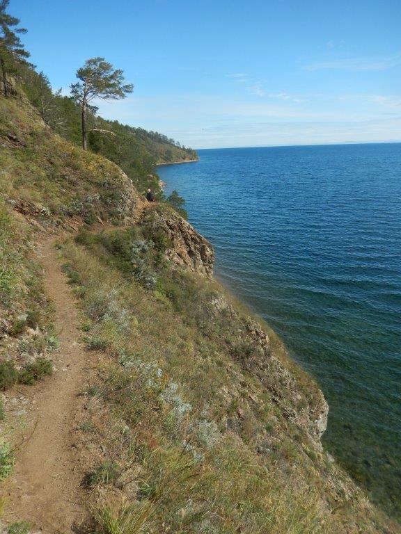
- In some areas, the trail runs along steep cliffs, high above the water.
- In some places it narrows, stone scree under the feet.
- Be careful and careful. Three km to the village. Bolshiye Koty the trail descends to the pebble shore of the Chernaya Paddy and passes into a dirt road.
Trail Map
Along the track, there are several beautiful views of Lake Baikal. The first part of the trail crosses the taiga. In this section the trail ascends a few times along the hills that line the coast.
There is no paved road or other track for a vehicle to go to Bolchiy Koty village. In summer, the return to Listvyanka is possible by boat; in winter with a hovercraft.
Along the track, there are several beautiful views of Lake Baikal. The section of trail along the coast is even more beautiful and more interesting, but some places on the coast are steep enough to recommend this trail only to good hikers.
The actual Walk
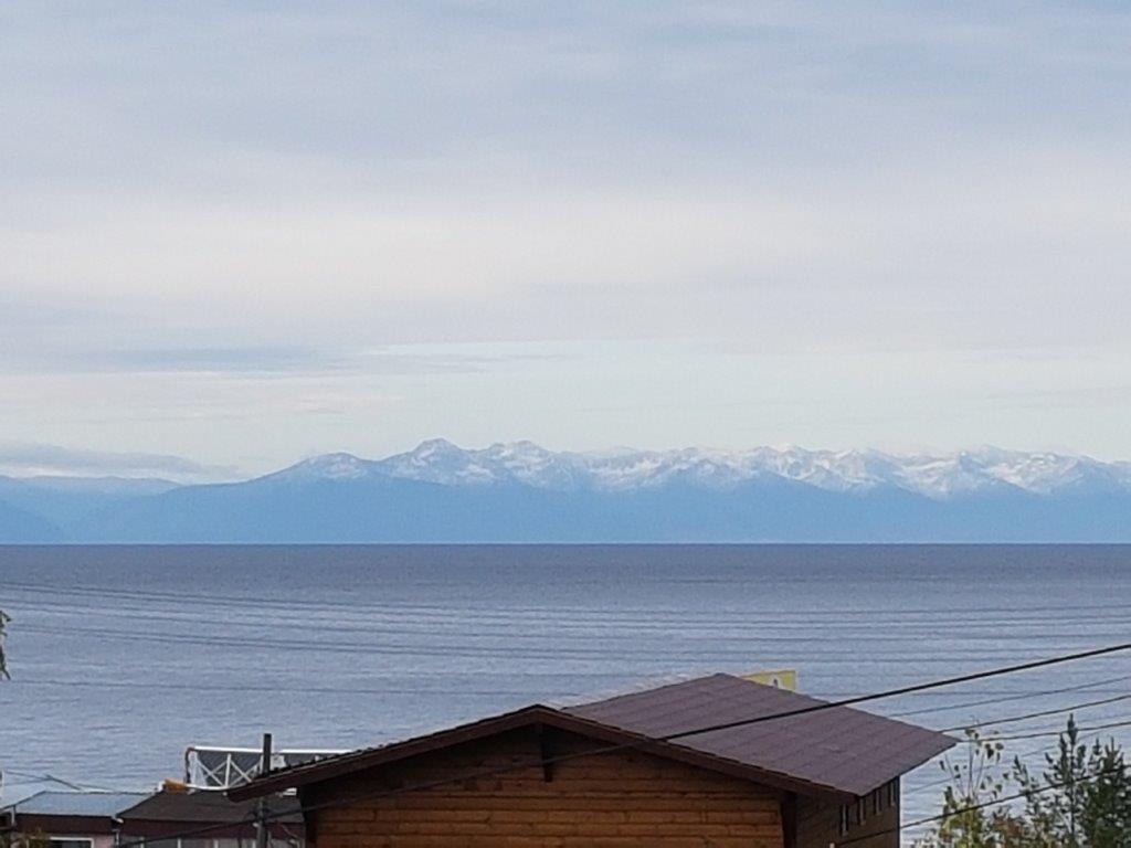
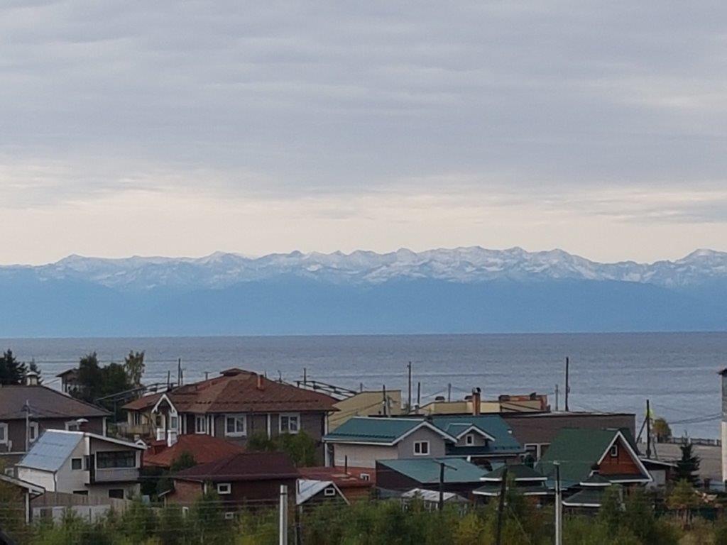
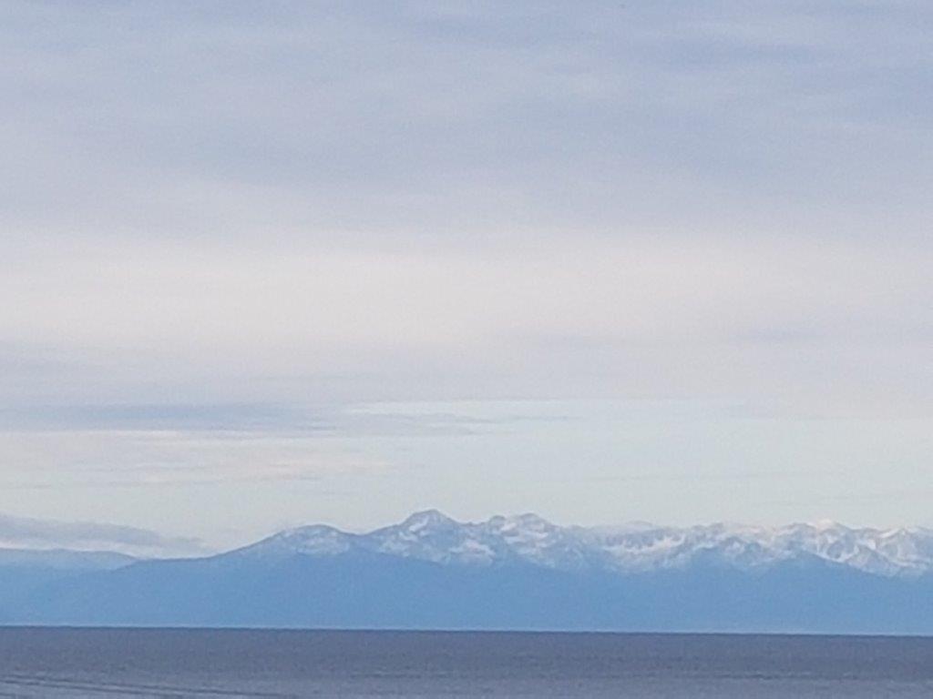
From the village of Listvijanka you first ascend to the trail head. After leaving the village the road dives into the Taiga forests that surround Lake Baikal and cover large parts of Siberia until they change into tundra in the Arctic north or steppes in the utmost south of Russia and further south in Mongolia. From the road through the village (which is quite steep, but not part of the actual trail yet, you can still enjoy great views over Lake Baikal and the mountains accross…
On the ascend towards the Forrestry cabin The Wandelgek spotted this nice butterfly visiting flowers in full bloom…
Then you pass the Forrestry cabin where permits can be obtained (remember that it is obliged to have a permit if you go any further). At the cabin is a large sign which shows the trail…
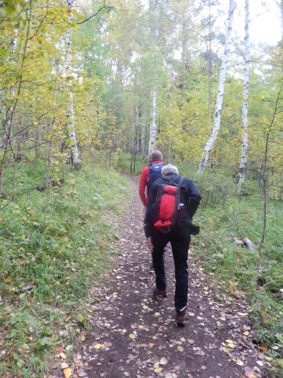
It is also a nice oportunity for a picture with some fellow walkers…
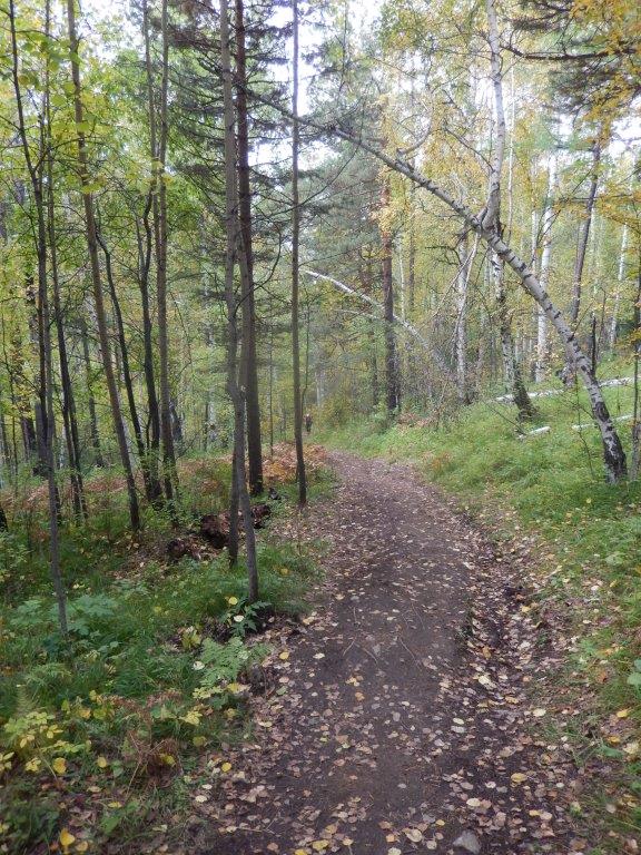
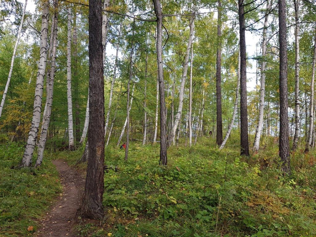
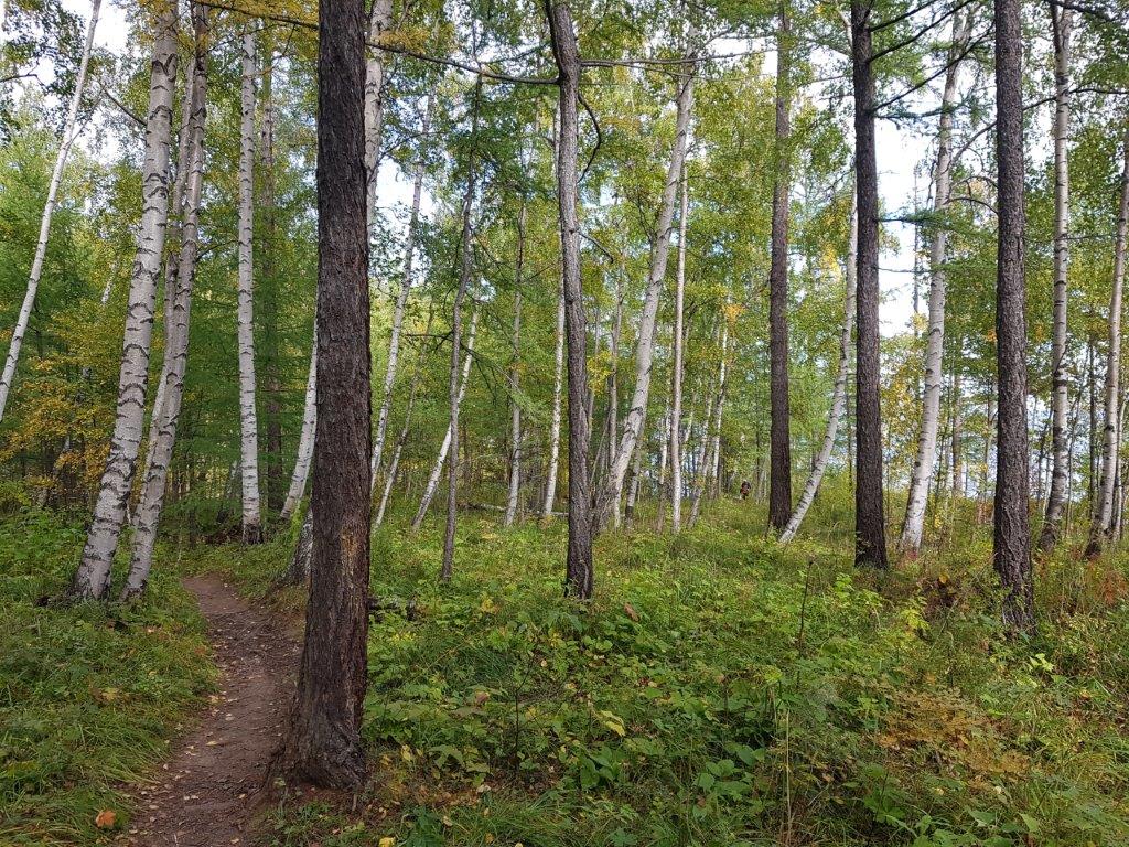
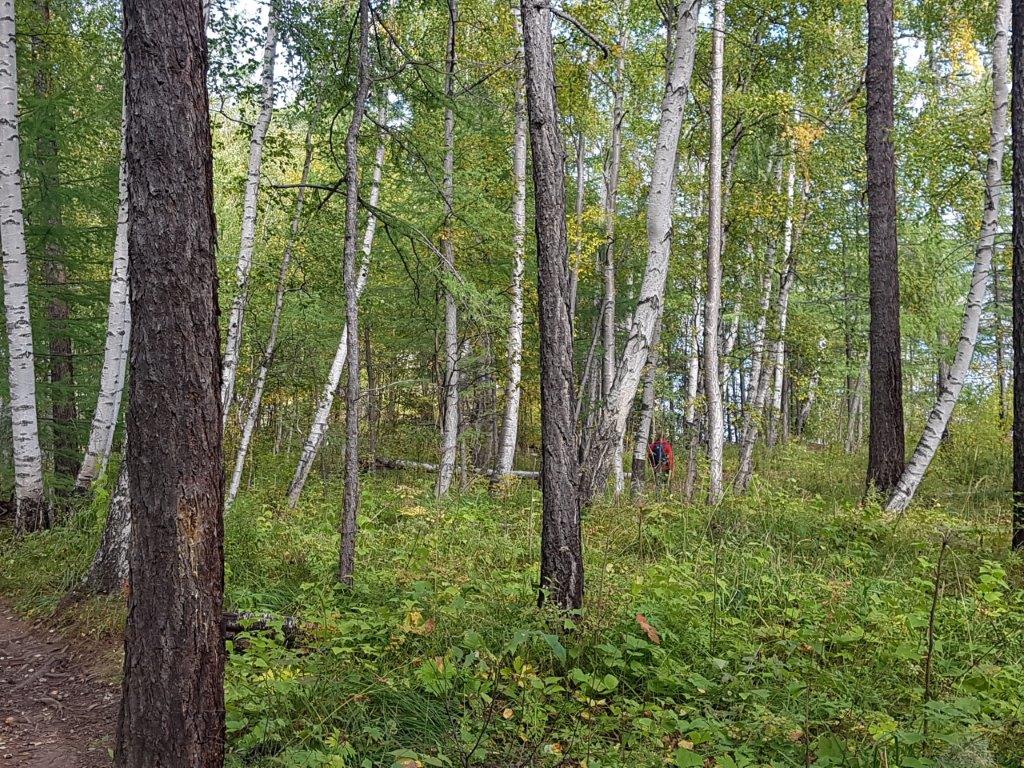
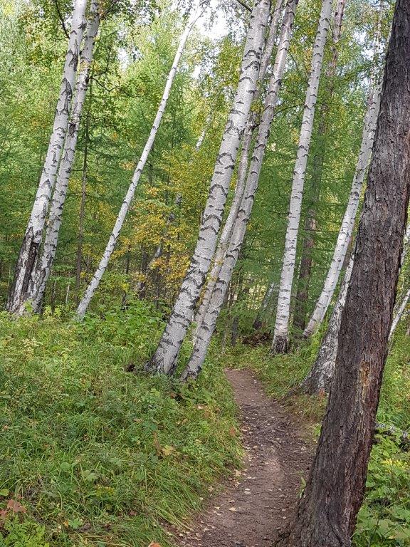
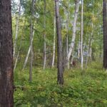
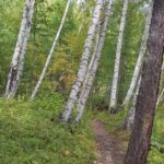
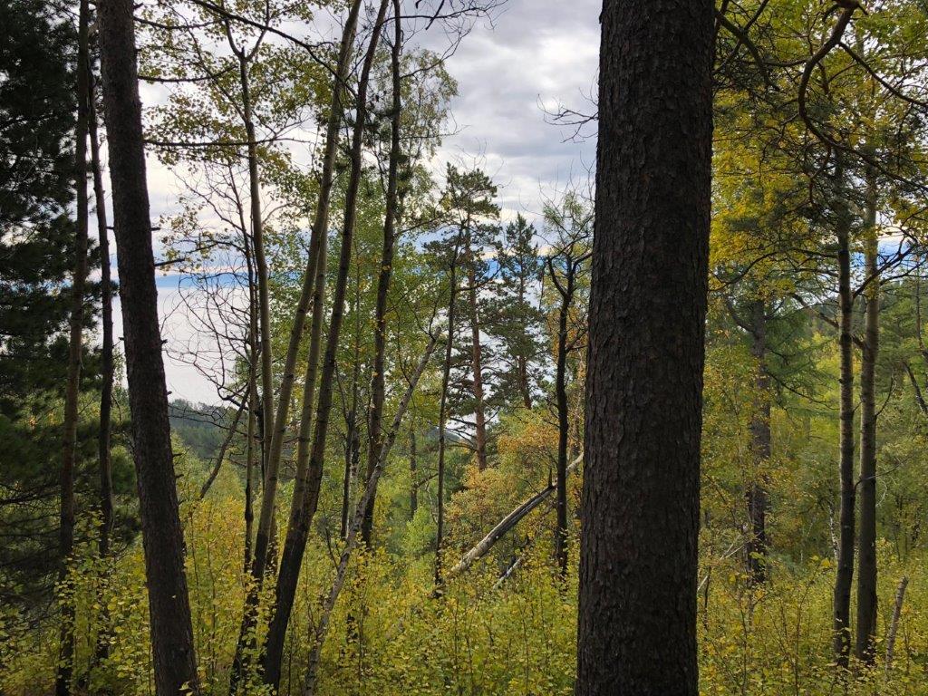
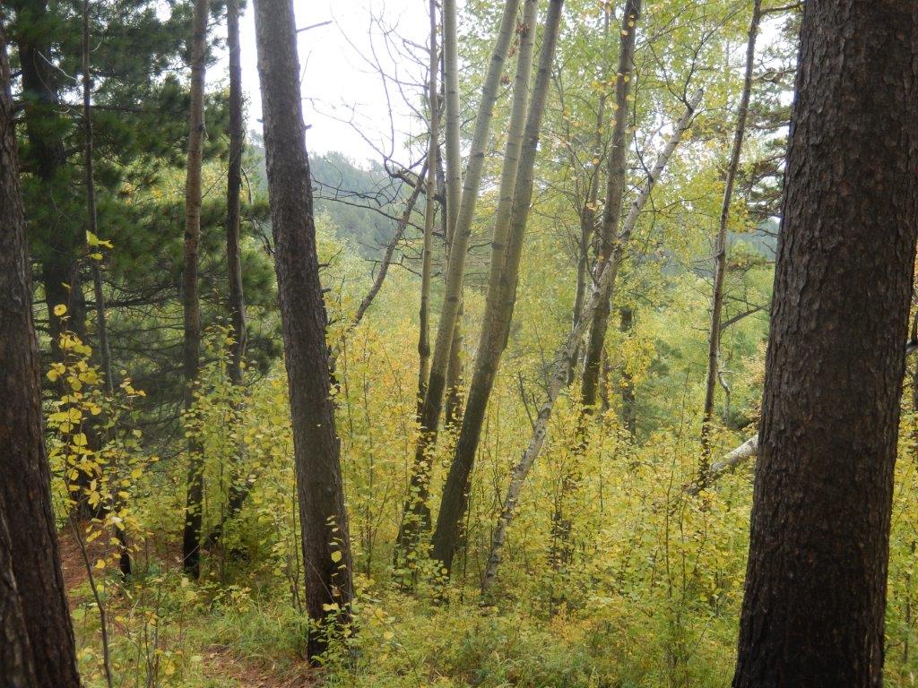
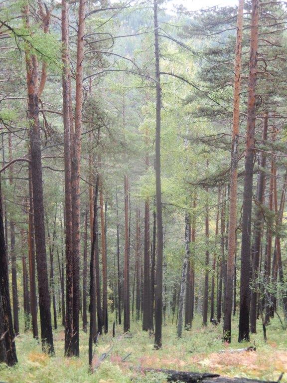
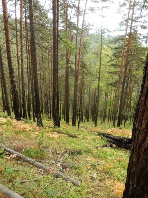
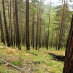
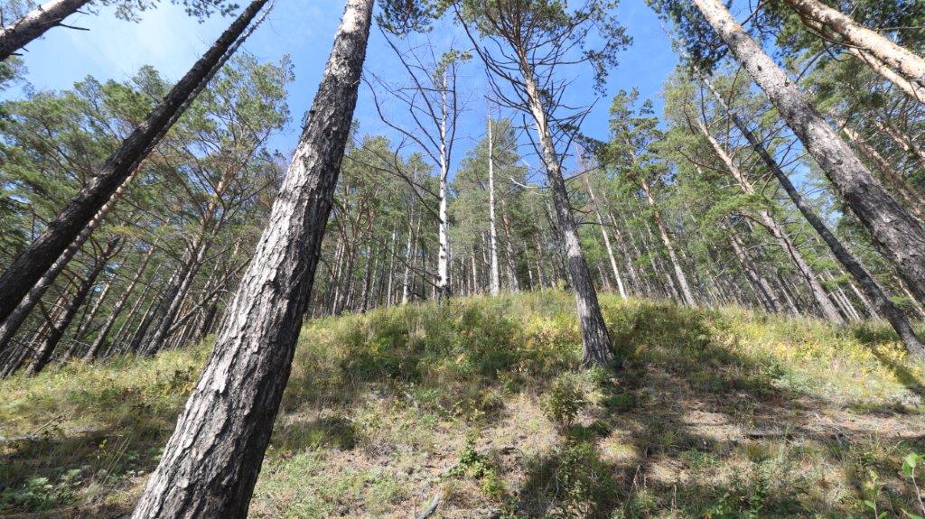
The road has changed into a dirt trail and keeps ascending quite steeply for the next 5 kilometers. The forest you walk through contains mostly larch, pine and birch trees…
Sometimes a glimpse of the Lake can be seen, but never for a long while.
It is the most challenging part of the trail.
These signs keep you on track. BBT is the Russian equivalent fot GBT.
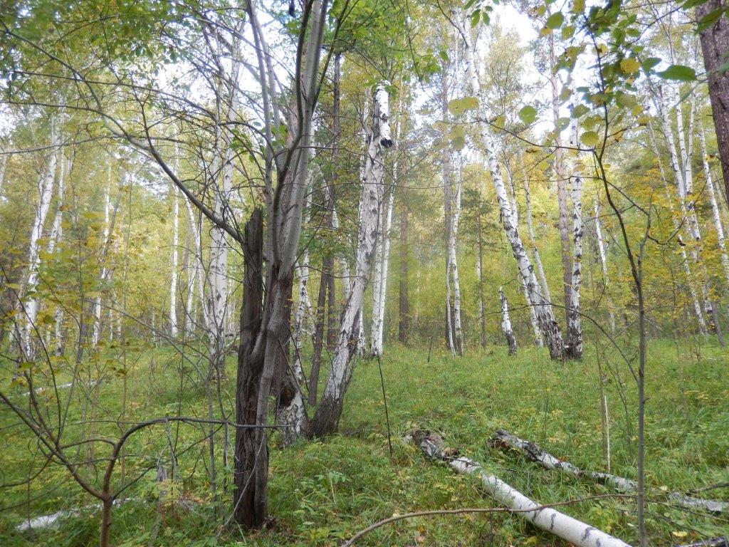
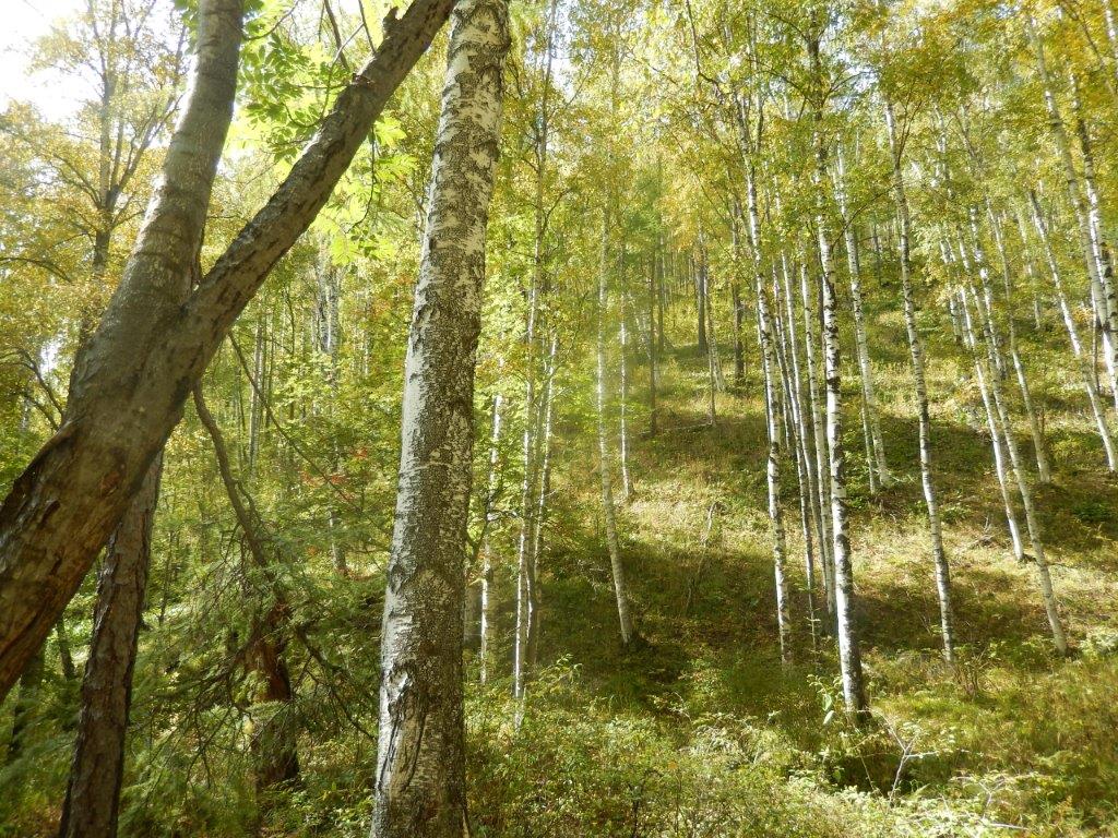
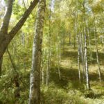
After these first 5 kliometers the trail flattens and more birch trees appear…
and because you reached the highest point there is more light and sky in this area…
It is maybe another 2 kilometers through forest before you reach the top.
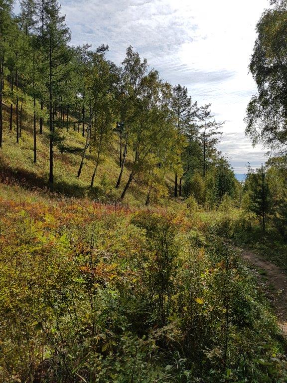
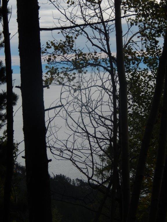
The trees do obstruct the views but there are some places where the lake can be seen. However this gets much better further down the trail…
This was a very nice area to walk through and the sun had been showing itself for a while now.
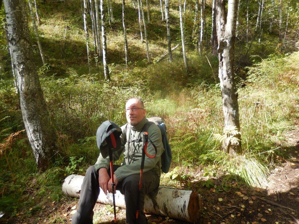
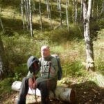
The Wandelgek thought of it as a nice spot for a short break to eat a banana and drink a bit and…
… simply enjoy looking around. It was very quiet.
The Wandelgek thought he had made a wise choice buying walking sticks to aid his healing knee, just 2 weeks before travelling, because it had been a strennuous climb (see the sweat dripping from his cap) and the next part of the trail was a few kilometer descend on steep switchbacks. The sticks were of great help and the knee didn’t complain ?).
Then you get to the descend through taiga forest, switchback after switchback after switchback…
It was probably in one of the switchback bends or maybe even before reaching these that The Wandelgek passed this small memorial. Not quite sure for who and what for though.
After the many switchbacks the trail began to move closer to the steep coast line of Lake Baikal…
The Wandelgek was even more pleased with his walking poles the before after the steep descend because the poles really supported the knee, specially in steep descends and later in Mongolia they would also be of great support on walks where large boulders had to be overwon.?
The more the trail descended, the more it came close to the coast line and the forest started to open.
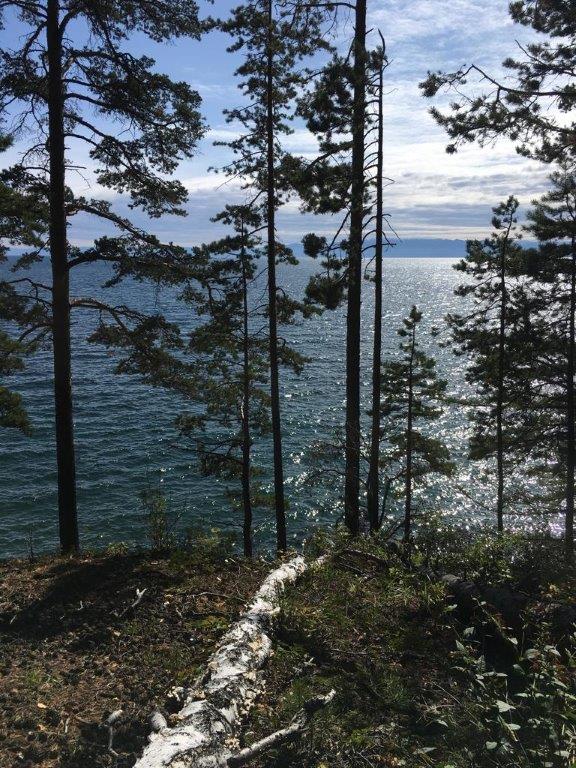
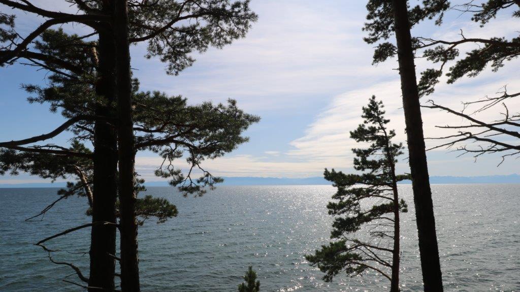
A beautiful spot where you can enjoy some truly lovely views over Lake Baikal is soon found. It was a good spot for a lunchbreak…
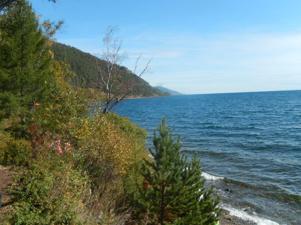
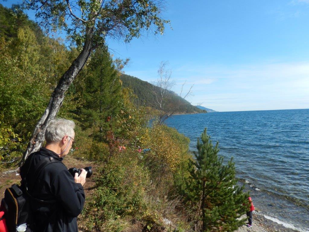
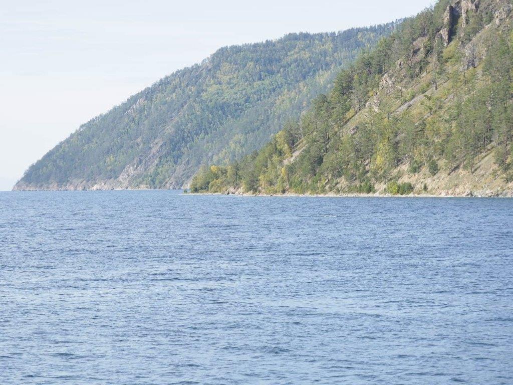
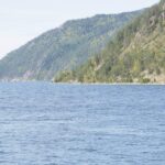
The views over Lake Baikal and the mountains across were sublime…
After a good rest, a refill of fluids and some sandwiches, a boiled egg and an apple and making some gorgeous pictures, it was time for the next interesting stretch of the trail.
 I don’t know for how long I had been having this longing to roam through a real Siberian Taiga forest, but it has been there for a few decades. It was absolutely worthwhile. Somehow I prefer the composition of the Taiga above that of e.g. a rainforest or a Western or Central European forest. Only a small variety of different tree types (mainly Pine, Larch, Fir and Birch) grow there and when the sun shines through the canopy, you’ll see a myriad of dark and light tree barks. There is also a lot of silence, unlike the orchestral explosion of sounds you’ll hear in a tropical rainforest. Not that I don’t like that, but I prefer the tranquility of the Taiga.
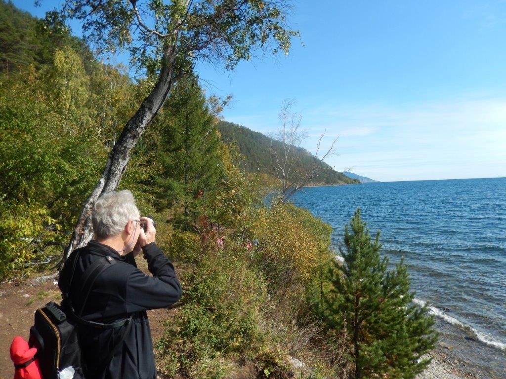
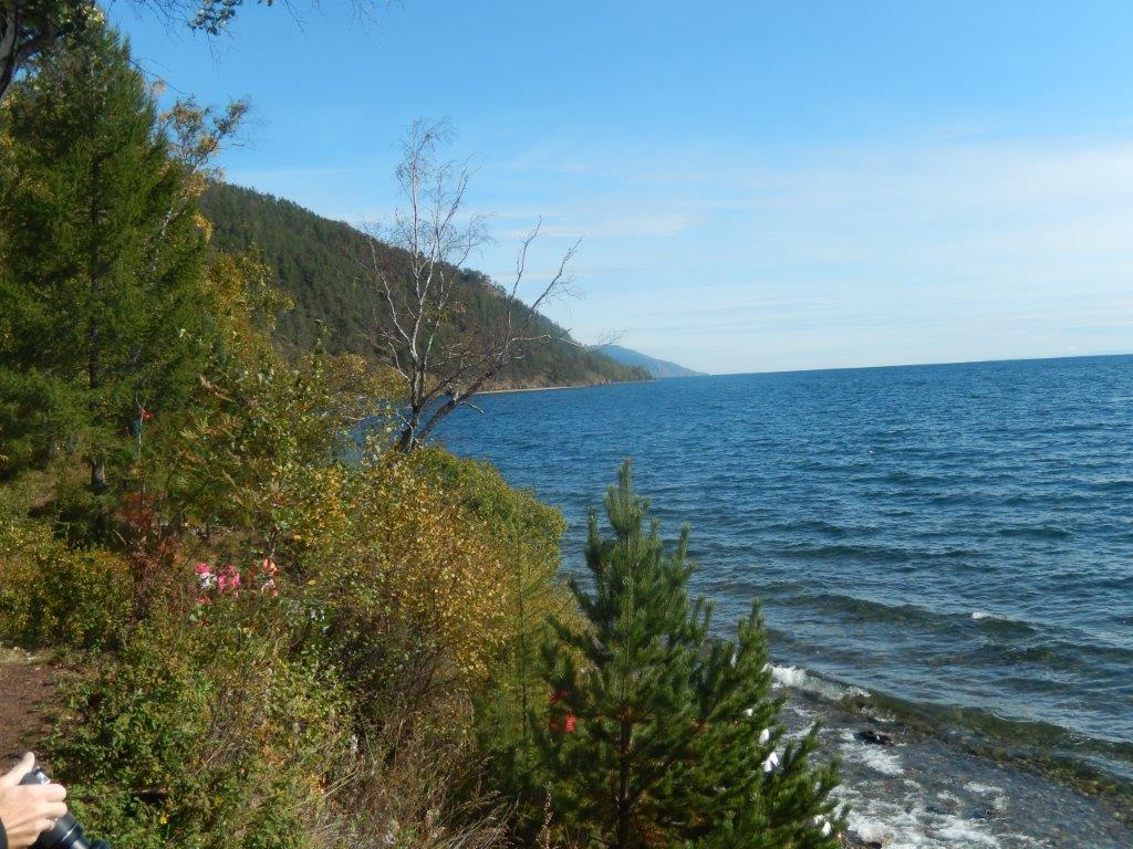
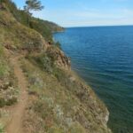
The trail had now left the taiga forest and began to really skirt the steep coast of Lake Baikal, gradually, with ups and downs, descending towards water level…
Now and then we were reminded of where the trail was, although this arrow would have directed us backward…
The coast got really steep overhere, luckily the trail didn’t…
The next part of the trail kept skirting the beach, sometimes going up again along a steep coastline, then down to beach level again. The trail curved from one small bay to the next, repeating this a few times until suddenly a small village came into view. This had to be the final destination of the trail section: Bolshiye Koty.
Now we could really see how quickly we were advancing…
And finally at about 15.15 we arrived at Bolshiye Koty (about which I will write some more in my upcoming blogpost) and there was still a bit time to go and have a look in the village and a little shop where they sold cooled, canned beers, before the boat we hired came to pick us up at about 16.00.
I was really glad, because although my walking condition had declined due to the months of recovery of my knee injury it was still good enough to finish a medium level 24 kilometer trail walk and even better, the knee still didn’t complain ?
More information about the Great Baikal Trail can be found at: Great Baikal Trail


