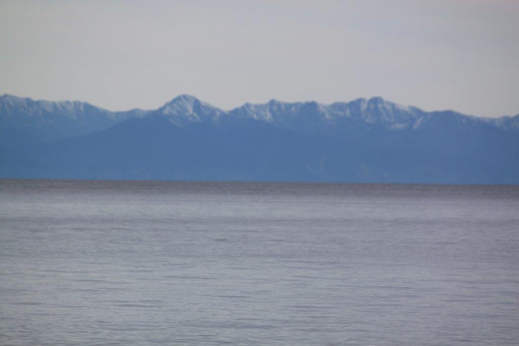
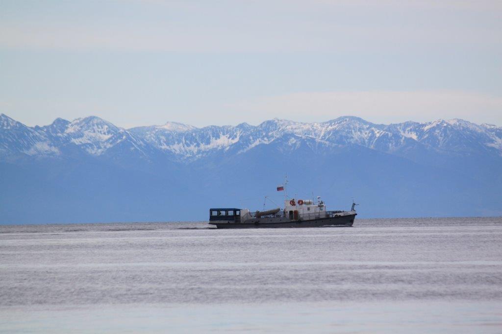
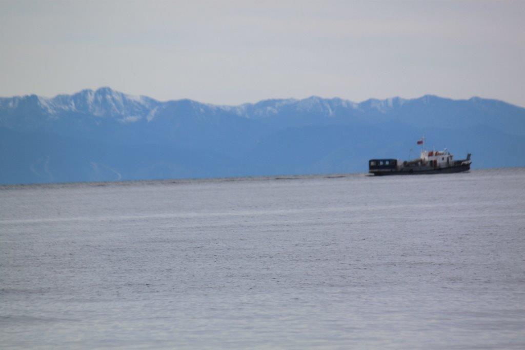
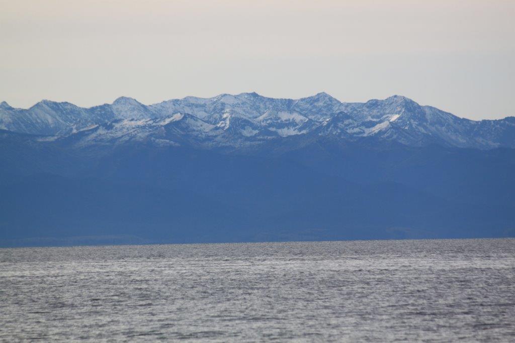
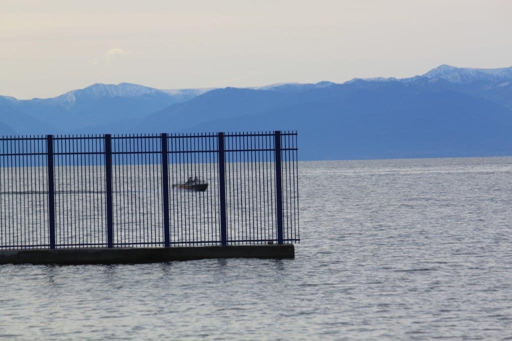
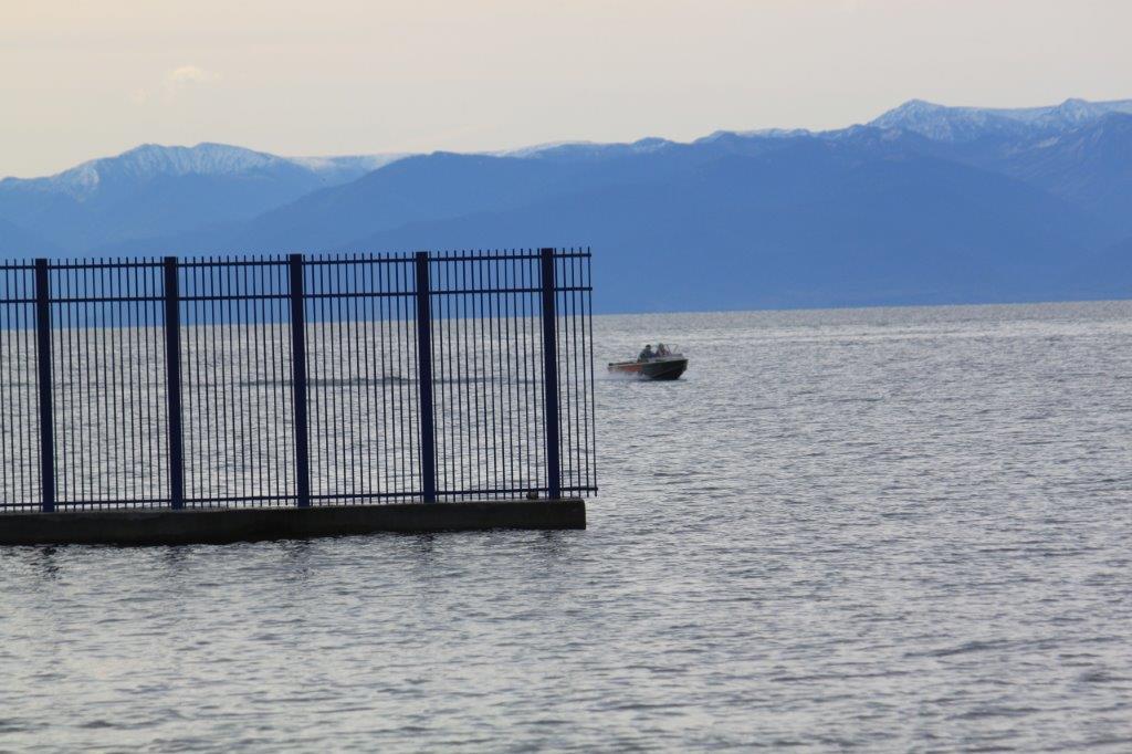
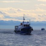
The shores of Lake Baikal (Pribaikalsky National Park/Lake Baikal – UNESCO World Heritage site)
The shores of Lake Baikal
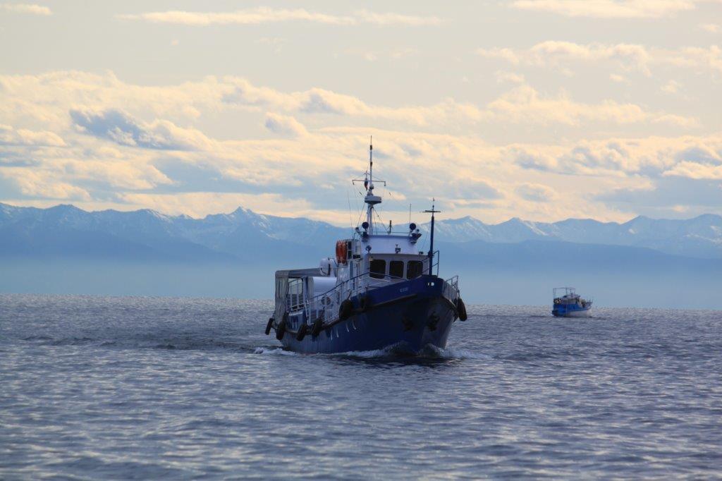
The boat returned us from Bolshiye Koty to Listvijanka. In Summer season there is a ferry service but The Wandelgek visited Lake Baikal after Summer season. However it is still possible to hire a private boat as long as the water do not freeze. After that a hovercraft is the only way to get to and from Bolshiye Koty. That and a double trail walk.
Lake Baikal (Russian: озеро Байкал) is a rift lake located in southern Siberia, Russia, between Irkutsk Oblast to the northwest and the Buryat Republic to the southeast.
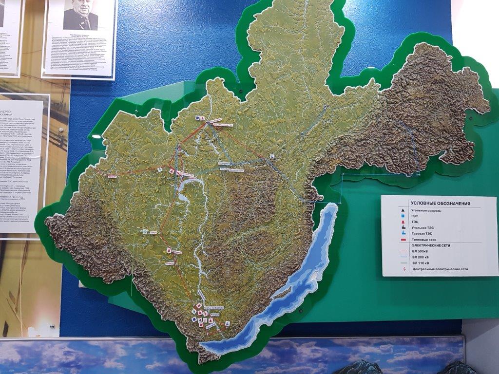
Beneath is oblast of Irkutsk and a large part of the basin of the river Angara. Lake Baikal is shown too. Over 300 rivers and riverines flow into the lake, but only the Angara River flows out towards Irkutsk and then towards its fusion with the larger Yenisey River. The Wandelgek had already crossed both rivers see earlier blogposts:
Another large river in the area that on some less detailed maps seems to run from Lake Baikal north to the Arctic ocean is the Lena River, but detailed maps show that it does not find its source from Lake Baikal but from the bordering Baikal mountains.
Originating at an elevation of 1,640 meters (5,381 ft) at its source in the Baikal Mountains south of the Central Siberian Plateau, 7 kilometres (4 mi) west of Lake Baikal, the Lena flows northeast, being joined by the Kirenga, Vitim and Olyokma.
Lake Baikal is the largest freshwater lake by volume in the world, containing 22–23% of the world’s fresh surface water. With 23,615.39 km3 (5,670 cu mi) of fresh water, it contains more water than the North American Great Lakes combined. With a maximum depth of 1,642 m (5,387 ft), Baikal is the world’s deepest lake, almost more than 200 m deeper than Lake Tanganyika, the 2nd deepest lake in the world. It is considered among the world’s clearest lakes and is considered the world’s oldest lake, at 25–30 million years. It is the seventh-largest lake in the world by surface area.
Other examples of very deep rift lakes are the African Lake Tanganyika and the less deeper Lake Malawi.
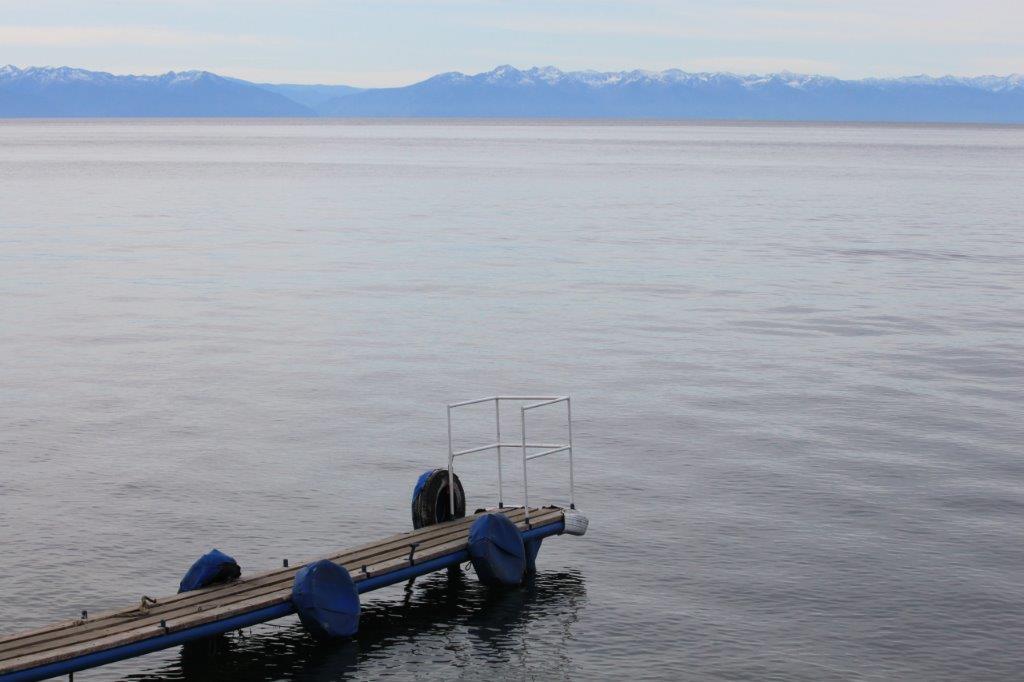
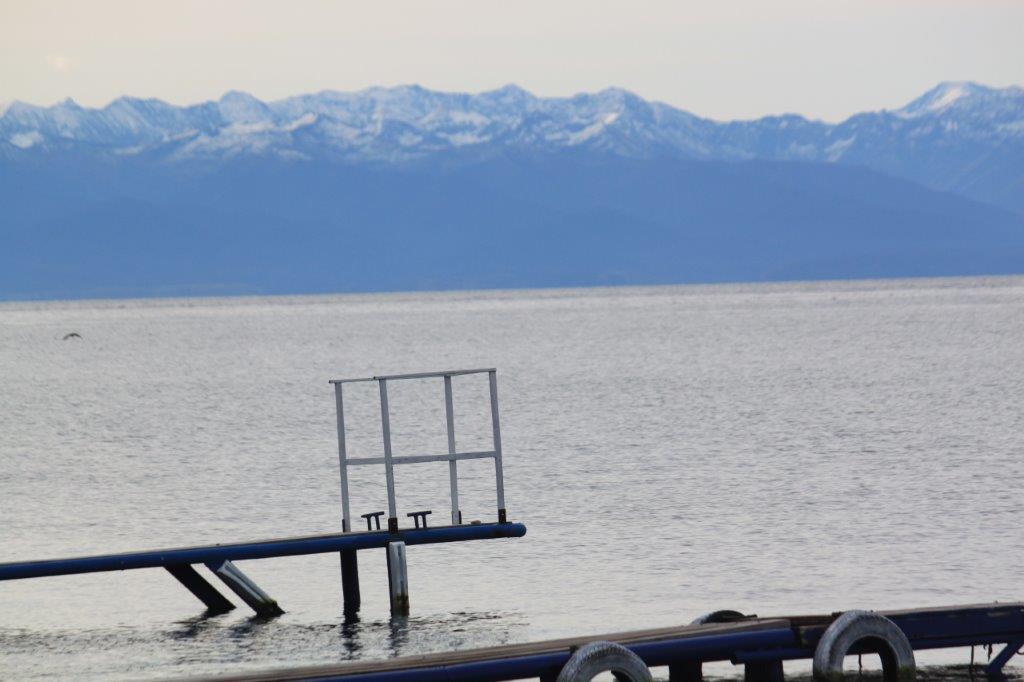
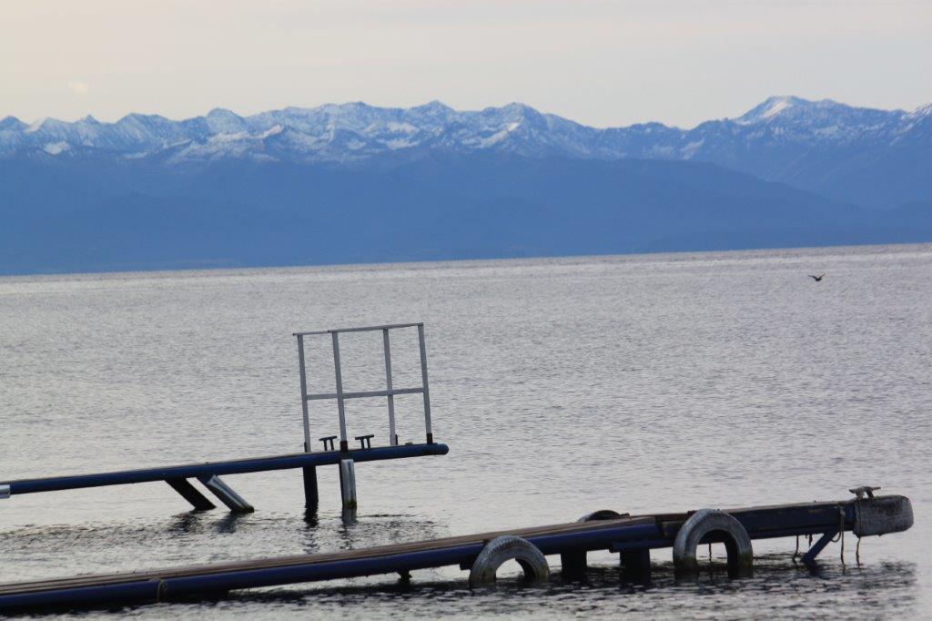
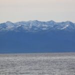
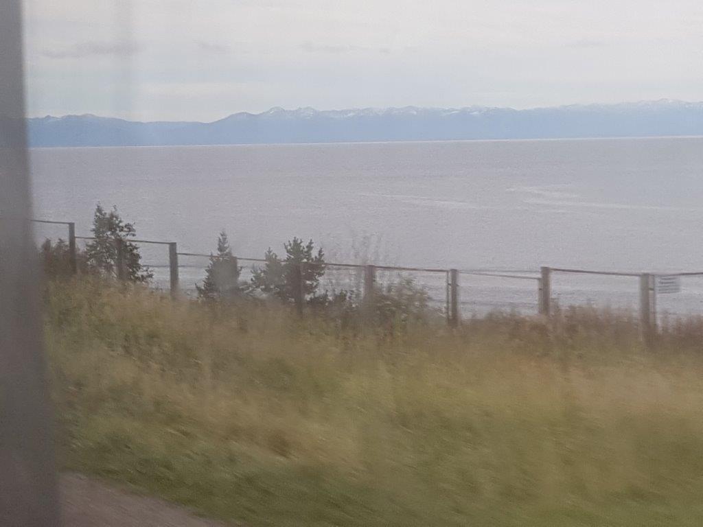
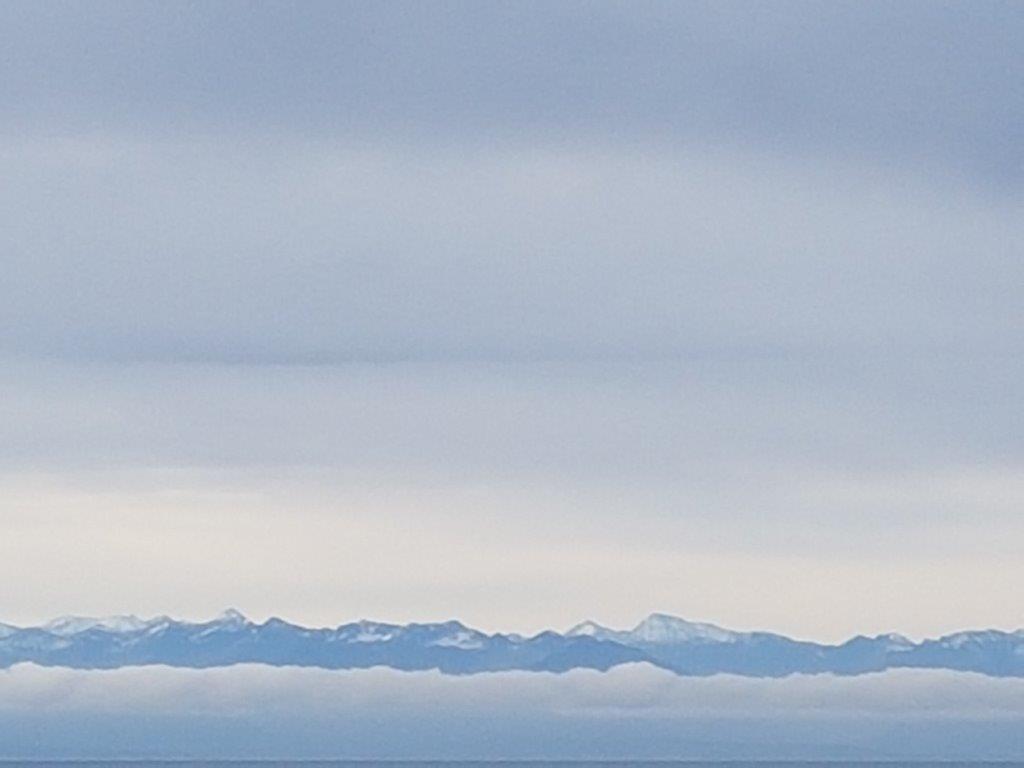
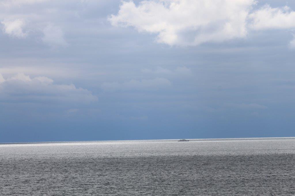
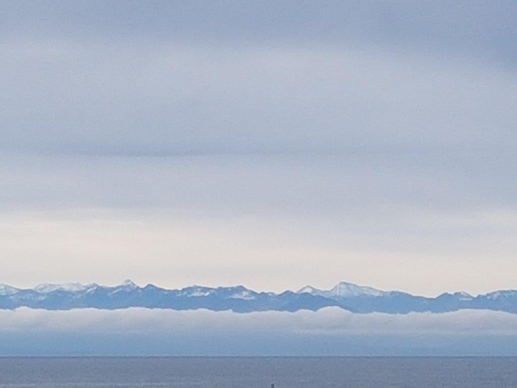
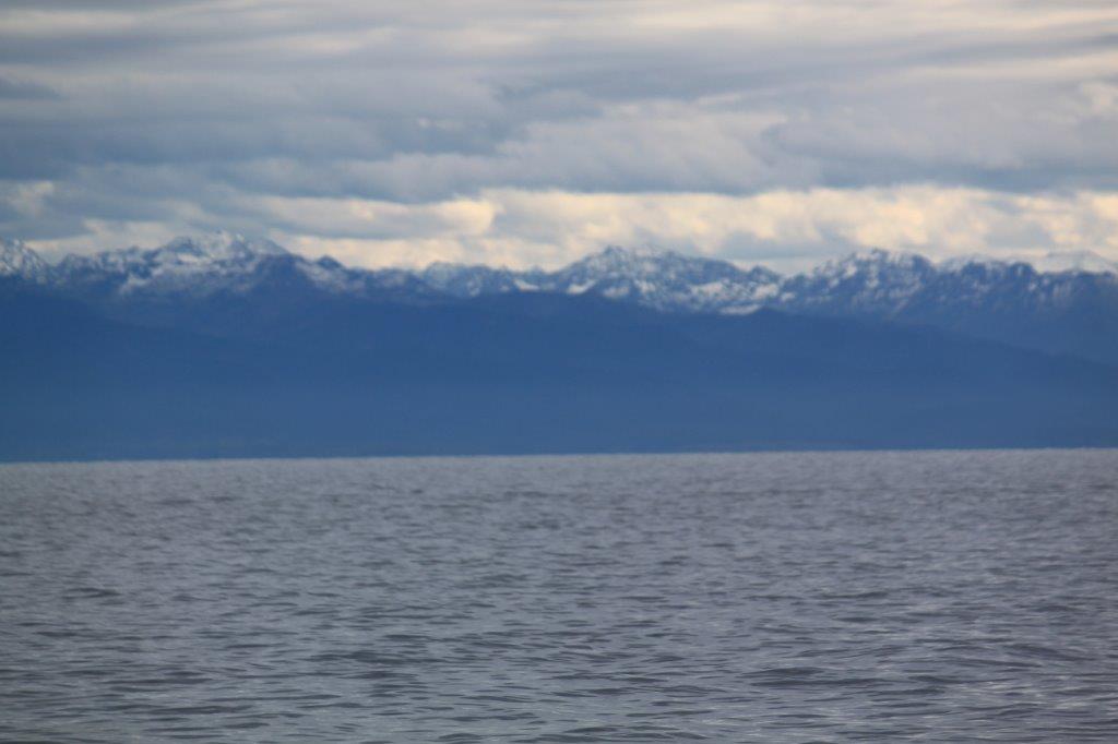
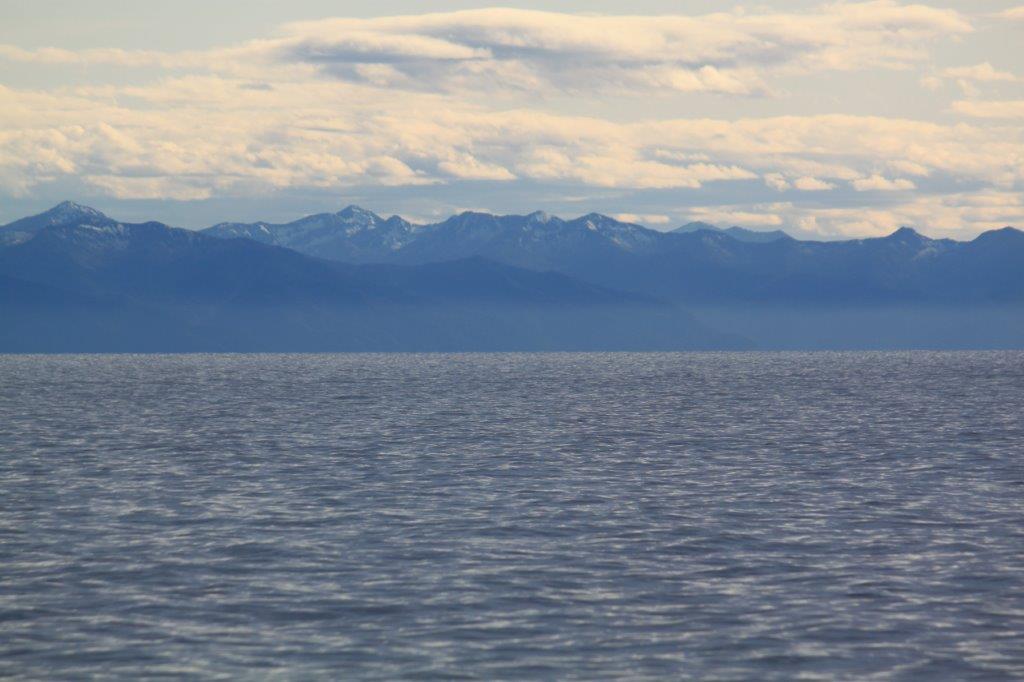
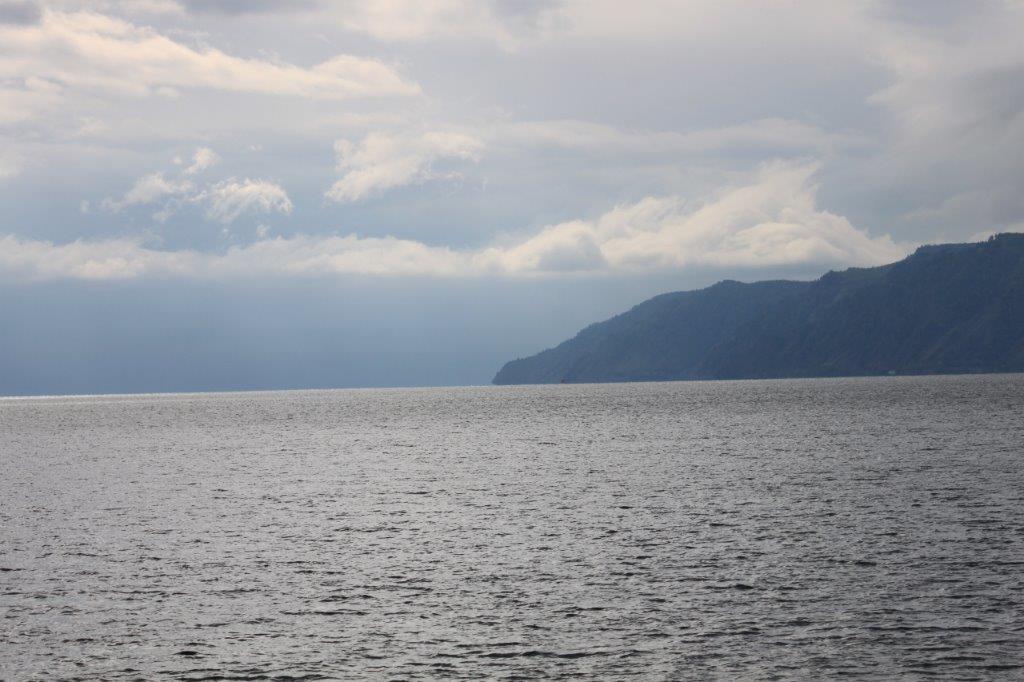
From the boat and from the coast at Listvijanka, the views over Lake Baikal were magnificent…
Like Lake Tanganyika, Lake Baikal was formed as an ancient rift valley and has the typical long, crescent shape, with a surface area of 31,722 km2 (12,248 sq mi). Baikal is home to thousands of species of plants and animals, many of which are endemic to the region. It is also home to Buryat tribes, residing on the eastern side of the lake, raising goats, camels, cattle, sheep, and horses, where the mean temperature varies from a winter minimum of −19 °C (−2 °F) to a summer maximum of 14 °C (57 °F).
The region to the east of Lake Baikal is referred to as Transbaikalia, and the loosely defined region around it is sometimes known as Baikalia. The lake was declared a UNESCO World Heritage Site in 1996.
Around the lake are 3 National Parks and The Wandelgek did a long distance trail walk through the Pribaikalsky National Park. See: The Great Baikal Trail (GBT): 24 kilometres from Listvijanka to Bolshiye Koty (Pribaikalsky National Park/Lake Baikal – UNESCO World Heritage)
After the return in Listvijanka The Wandelgek raced from the boat towards his hotelroom to have a quick shower and to re dress (read: to get rid of the sweaty, smelly clothes) before he was going for diner (after being invited by a Siberian family). More of that in my next upcoming blogpost.
The Wandelgek had really enjoyed his prolonged stay at Lake Baikal…

