Deserts and semi-deserts – Photo essay
The Wandelgek’s many, many travels, which are defined by avoiding mass tourism locations and by trying to visit less travelled areas and locations less effected by mass tourism imposed infrastructure or better, trying to visit the edges of our civilized world, rather than its overcrowded center, brought him into some of the most marooned and desolate places of the World. Some of which were completely uninhabited and only visited by occasional passers by or temporary visitors like researchers, others were inhabited by small tribes of mostly nomadic populations (see my blogpost on: Nomadic tribes).
Among these barren, unfriendly towards life environments were lots of (cold) deserts, semi-deserts and mountainous regions. Some were wetlands or saltflats, others were impenetrable forests.
In this blogpost The Wandelgek is focussing on the desert landscapes which he visited. Enjoy!
But 1st:
What is a desert?
A desert is a barren area of landscape where little precipitation occurs and, consequently, living conditions are hostile for plant and animal life. The lack of vegetation exposes the unprotected surface of the ground to the processes of denudation. About one-third of the land surface of the world is arid or semi-arid. This includes much of the polar regions where little precipitation occurs and which are sometimes called polar deserts or “cold deserts”. Deserts can be classified by the amount of precipitation that falls, by the temperature that prevails, by the causes of desertification or by their geographical location.
The next section of my blog is a photo selection per desert visited, a short description of that desert and a link towards (a) blogpost(s) in which it appeared containing even more pictures):
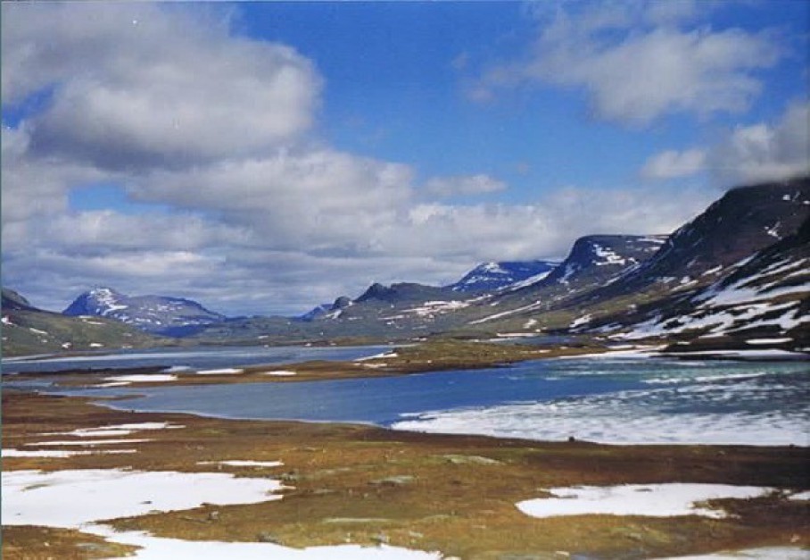
The Arctic desert
The Arctic is a polar region located at the northernmost part of Earth. The Arctic consists of the Arctic Ocean, adjacent seas, and parts of Alaska (United States), Finland, Greenland (Denmark), Iceland, Northern Canada, Norway, Russia, and Sweden. Land within the Arctic region has seasonally varying snow and ice cover, with predominantly treeless permafrost (permanently frozen underground ice) containing tundra. Arctic seas contain seasonal sea ice in many places.
The Arctic region is a unique area among Earth’s ecosystems. The cultures in the region and the Arctic indigenous peoples have adapted to its cold and extreme conditions. Life in the Arctic includes zooplankton and phytoplankton, fish and marine mammals, birds, land animals, plants and human societies. Arctic land is bordered by the subarctic.
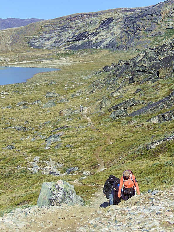
Tundra of Swedish Lapland
Blogposts:
- Kungsleden / Kings trail
- Abisko : Preparations for the Kungsleden hike / Abisko Canyon
- Sweden: Kungsleden Day 1: Abisko turiststation; Abiskojaure 15km (hike through the Abisko National Park); 1993
- Kungsleden etappe 2: Abiskojaure; Alesjaure 20km
- Kungsleden etappe 3: Alesjaure; Tjäktja 13km
- Kungsleden etappe 4: Tjäktja; Sälka 12km
- Kungsleden etappe 5 + 6: Sälka – Singi (12km) + Singi; Kebnekaise Fjällstation (14km) 26km
- Kungsleden etappe 7: Kebnekaise Fjällstation; Nikkaluokta 19km
- Kiruna
Norwegian Arctic
Blogposts:
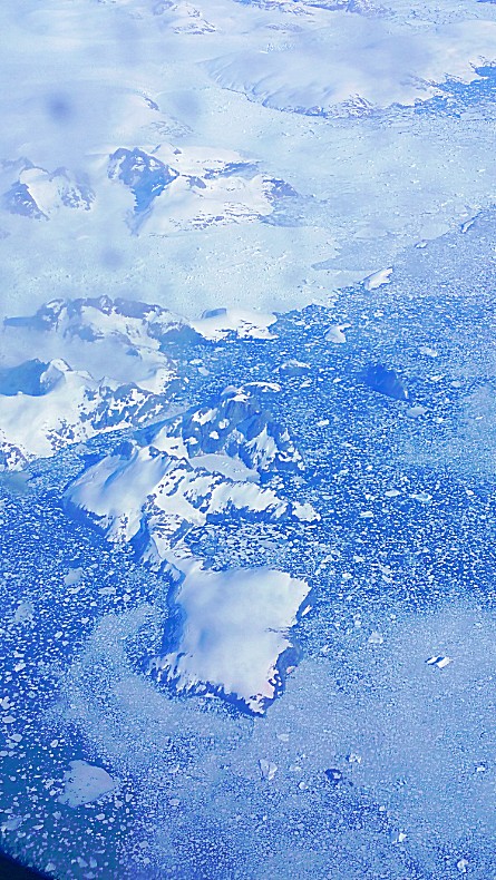
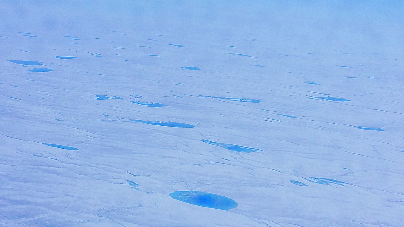
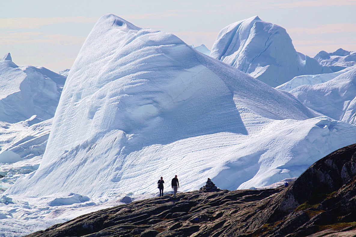
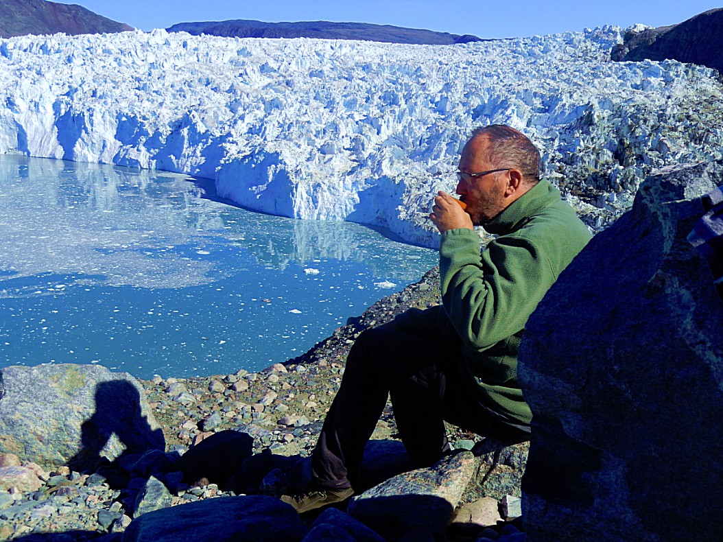
Tundra, icesheet and glaciers of West Greenland
Blogposts:
- Journey to Greenland
- Hiking on the Inland Ice
- Flight to Ilulissat and Hotel Arctic
- 2. Greenland: Wake up call to Climate Change and introduction to the Jakobshavn/Ilulissat/Kangia Icefjord in West Greenland; 2017
- 3. Greenland: Hiking at the Kangia Icefjord: 1. Yellow Trail (2.7 kilometres); 2017
- 5. Greenland: Hiking at the Kangia Icefjord: 2. Red Trail (1 kilometre); 2017
- 6. Greenland: Hiking at the Kangia Icefjord: 3. (part of the) Blue Trail (2.7 kilometres); 2017
- 9. Greenland: Disney’s Frozen in real life!!! : Travelling between the icebergs of West Greenland at midnight; 2017
- 10. Greenland: Journey back in time to Sermermiut…- 2017
- 22. Greenland: Helicopter flight to Sermeq Kujalleq glacier; 2017
- 25. Evening Kayaking in Greenland Part 3
- 26. Sailing North;
- 27. Eqi Glacier Lodge: 2 Walks to Lac des Canards
- 28. Glacier Lodge Eqi: Cabins, Café Victor and truly breath taking Sunsets
- 29. Hike to the moraine ridge near Eqip Sermia
- 30. In Arctic explorer Paul-Émile Victor’s footsteps or hike to the Delta
- 31. Return journey south from the Arctic wilderness to Ilulissat/Jakobshavn
- 32. Greenland: A mad Whale party; 2017
- 33. Greenland: Exploration, settlers, hunters, fishermen and inhabitation, colonialism and maps
- Arrival in the village of Qeqertarsuaq (Godhavn) and some city walks
- Trail to Kuanit (Yellow Trail)
- Blaesedalen vale trail (Red trail)
- The Museum in Qeqertarsuaq
- Dutch 17th; 18th century whale hunters leaving geographic names on Greenlandic maps explained; a rough boat ride;
Northern Kenya
The vast areas north and west of Mount Kenya, which occupies half of the country, is actually a semi-arid zone or semi-desert (and sometimes even described as a real desert). The Wandelgek visited the southern part of this area at the Samburu and Buffalo Springs Nature Reserves. The northern part near Lake Turkana is very, very dry, but in May the more southern parts do get rainfall which transforms the landscape drastically. Animals like the famous Grevy Zebra have adapted to this harsh climate and have evolved into a subspecies which deals more effectively with the demands of living where there is less water and more heat.
2. Kenya: The northeast; Isiolo, Buffalo Springs Nature Reserve & Samburu National Park 2002
Taklamakan desert
The Taklamakan Desert (also spelled Taklimakan and Teklimakan) is a desert in Southwest Xinjiang in Northwest China. It is bounded by the Kunlun Mountains to the south, the Pamir Mountains and Tian Shan (ancient Mount Imeon) to the west and north and the Gobi Desert to the east.
Because it lies in the rain shadow of the Himalayas, Taklamakan is a paradigmatic cold desert climate. Given its relative proximity with the cold to frigid air masses in Siberia, extreme temperatures are recorded in wintertime, sometimes well below −20 °C (−4 °F), while in summer they can rise up to 40 °C (104 °F). During the 2008 Chinese winter storms episode, the Taklamakan was reported to be covered, for the first time in its recorded history, entirely with a thin layer of snow reaching 4 centimetres (1.6 in), with a temperature of −26.1 °C (−15 °F) in some observatories.
Its extreme inland position, virtually in the very heartland of Asia and thousands of kilometres from any open body of water, accounts for the somewhat wide diurnal temperature variation.
The Turpan Depression, or Turfan Depression, is a fault-bounded trough located around and south of the city-oasis of Turpan, in the Xinjiang Autonomous Region in far western China, about 150 kilometres (93 mi) southeast of the regional capital Ürümqi. It includes Lake Ayding, −154 metres (−505 ft), the second or third lowest depression on Earth. By some measures, it is also the hottest and driest area in China during the summer.
The Turpan basin is like an appendix of the Taklamakan desert. It is part of the Taklamakan and has, an even warmer, continental desert climate as well, in which the precipitation is far less than the potential evaporation. At Turpan City, July is the hottest month with a 24-hour average temperature of 32.2 °C (90.0 °F) and January the coldest with a 24-hour average temperature of −7.6 °C (18.3 °F). Monthly rainfall is highest in June, at 2.9 millimetres (0.11 in) and lowest in February and April, at 0.5 mm (0.020 in). The annual average precipitation is only 15.7 mm (0.62 in), falling on only 13 days per year. In contrast to this, the potential annual evaporation rate reaches 3,000 mm (120 in). Because of its climate, the area is sometimes counted as one of the Furnaces of China, although the locations included under this heading vary. Because of the great heat in Summer, the streets of Turpan are covered by pergolas overgrown with vines.
Taklamakan desert edge and Turpan/Turufan Depression
Blogposts:
- 2. Turufan/Turpan
- Wandeling door Uyghurs Turpan naar de Emin minaret (ongeveer 12km)
- 3. De Turpandepressie
- 4. De Taklamakan: 21 urige treinreis van Turpanshan naar Kashgar/Kashi
Kyzylkum desert
The Kyzylkum Desert is the 15th largest desert in the world. Its name means Red Sand in Turkic languages. It is located in Central Asia in the doab between the rivers Amu Darya and Syr Darya, a region historically known as Transoxania or Sogdiana. Today it is divided between Kazakhstan, Turkmenistan and Uzbekistan. It covers about 298,000 km2 (115,000 sq mi).
Blogposts:
Karakum desert
The Karakum Desert, also spelled Kara-Kum and Gara-Gum, is a desert in Central Asia. Its name means Black Sand in Turkic languages, in reference to the dark soil that lies beneath the sandy surface of much of the desert. It occupies about 70 percent, or 350,000 km², of the area of Turkmenistan.
The population is sparse, with an average of one person per 6.5 km² (one person per 2.5 square miles). Rainfall is also sparse, ranging from 70 to 150 mm per year.
Blogposts:
Kalahari desert (semi-desert)
The Kalahari Desert is a large semi-arid sandy savannah in Southern Africa extending for 900,000 square kilometres (350,000 sq mi), covering much of Botswana, parts of Namibia and regions of South Africa.
It is not to be confused with the Angolan, Namibian and South African Namib coastal desert, whose name is of Khoekhoegowab origin and means “vast place”.
A semi-desert, with huge tracts of excellent grazing after good rains, the Kalahari supports more animals and plants than a true desert, such as the Namib Desert to the west. There are small amounts of rainfall and the summer temperature is very high. The driest areas usually receive 110–200 millimetres (4.3–7.9 in) of rain per year, and the wettest just a little over 500 millimetres (20 in). The surrounding Kalahari Basin covers over 2,500,000 square kilometres (970,000 sq mi) extending farther into Botswana, Namibia and South Africa, and encroaching into parts of Angola, Zambia and Zimbabwe.
Numerous pans exist within the Kalahari, including the Groot-vloer Pan and Verneukpan where evidence of a wetter climate exists in the form of former contouring for capturing of water. This and other pans, as well as river bottoms, were written about extensively at Sciforums by an article by Walter Wagner regarding the extensive formerly wet areas of the Kalahari. The Kalahari is extensive and extends farther north where abandoned extensive roadways also exist
Blogposts:
- 1. Namibia: Orange River, Ai Ais. Fish River Canyon National Park and Gondwana Canon Park; 2015
- 2. Namibia: The south; Car Wrecks, Seeheim, Spaghetti Western, Bethanie, Helmeringhausen, Paris Texas and wild cats at the Hammerstein Camp Site
Namib desert
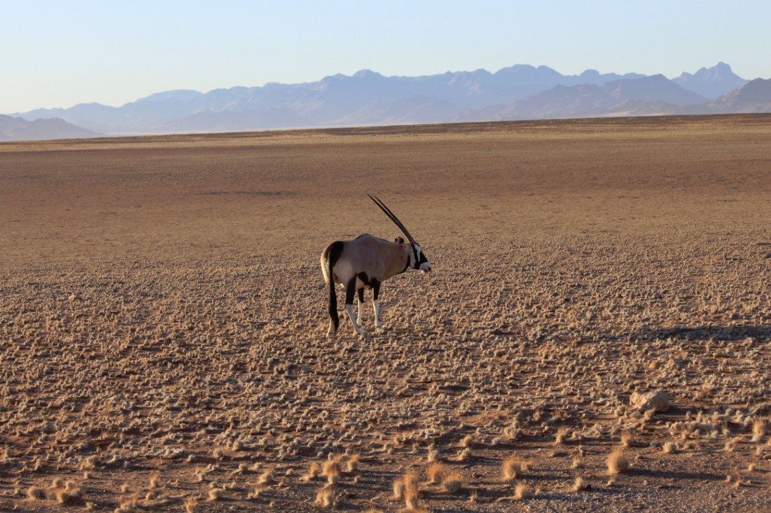
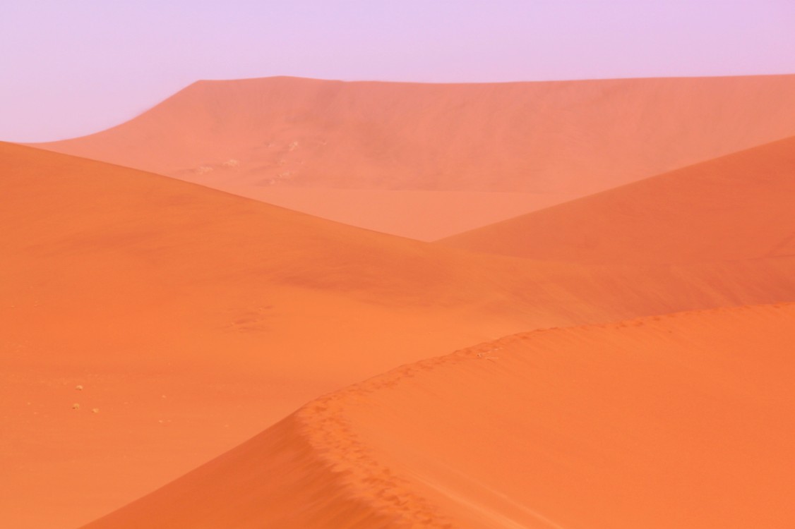
The Namib is a coastal desert in southern Africa. The name Namib is of Khoekhoegowab origin and means “vast place”. According to the broadest definition, the Namib stretches for more than 2,000 kilometres (1,200 mi) along the Atlantic coasts of Angola, Namibia, and South Africa, extending southward from the Carunjamba River in Angola, through Namibia and to the Olifants River in Western Cape, South Africa. The Namib’s northernmost portion, which extends 450 kilometres (280 mi) from the Angola-Namibia border, is known as Moçâmedes Desert, while its southern portion approaches the neighboring Kalahari Desert. From the Atlantic coast eastward, the Namib gradually ascends in elevation, reaching up to 200 kilometres (120 mi) inland to the foot of the Great Escarpment. Annual precipitation ranges from 2 millimetres (0.079 in) in the most arid regions to 200 millimetres (7.9 in) at the escarpment, making the Namib the only true desert in southern Africa. Having endured arid or semi-arid conditions for roughly 55–80 million years, the Namib may be the oldest desert in the world and contains some of the world’s driest regions, with only western South America’s Atacama Desert to challenge it for age and aridity benchmarks.
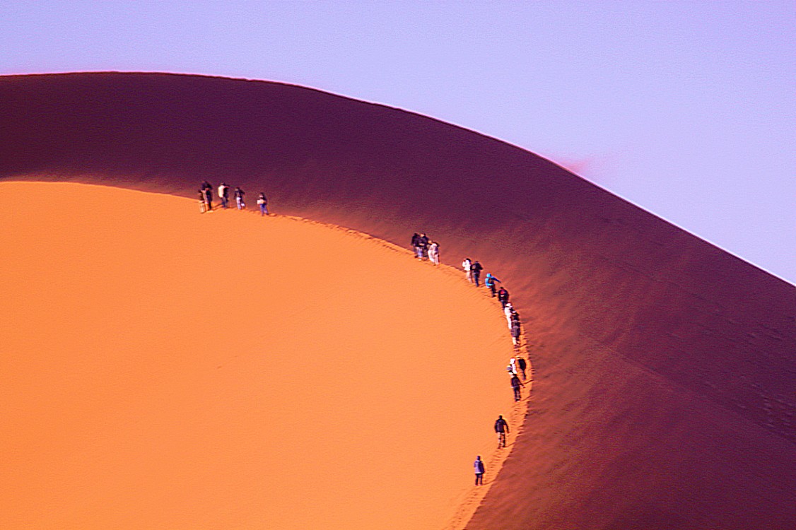
The desert geology consists of sand seas near the coast, while gravel plains and scattered mountain outcrops occur further inland. The sand dunes, some of which are 300 metres (980 ft) high and span 32 kilometres (20 mi) long, are the second largest in the world after the Badain Jaran Desert dunes in China. Temperatures along the coast are stable and generally range between 9–20 °C (48–68 °F) annually, while temperatures further inland are variable—summer daytime temperatures can exceed 45 °C (113 °F) while nights can be freezing. Fogs that originate offshore from the collision of the cold Benguela Current and warm air from the Hadley Cell create a fog belt that frequently envelops parts of the desert. Coastal regions can experience more than 180 days of thick fog a year. While this has proved a major hazard to ships—more than a thousand wrecks litter the Skeleton Coast—it is a vital source of moisture for desert life.
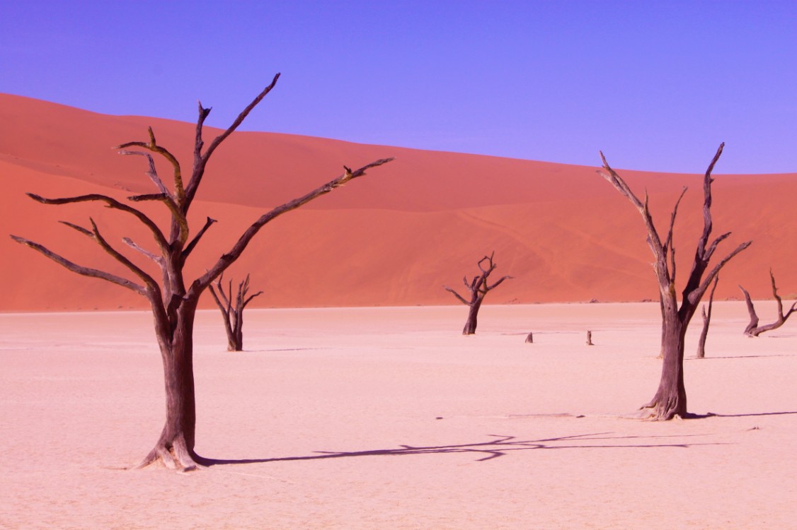
The Namib is almost completely uninhabited by humans except for several small settlements and indigenous pastoral groups, including the Ovahimba and Obatjimba Herero in the north, and the Topnaar Nama in the central region. Owing to its antiquity, the Namib may be home to more endemic species than any other desert in the world. Most of the desert wildlife is arthropods and other small animals that live on little water, although larger animals inhabit the northern regions. Near the coast, the cold ocean water is rich in fishery resources and supports populations of brown fur seals and shorebirds, which serve as prey for the Skeleton Coast’s lions. Further inland, the Namib-Naukluft National Park, the largest game park in Africa, supports populations of African Bush Elephants, Mountain Zebras, and other large mammals. Although the outer Namib is largely barren of vegetation, lichens and succulents are found in coastal areas, while grasses, shrubs, and ephemeral plants thrive near the escarpment. Several types of trees are also able to survive the extremely arid climate.
Blogposts:
- 3. Namibia: Namib Naukluft National Park,Namib dunes, Sossusvlei, Deadvlei, Dune 45, Sesriem Canyon; 2015
- 4. The Namib desert
- 5. Swakopmund
- 6. Skeleton Coast north of Swakopmund: Discovering the living desert
- 7a. Flight over the Namib Desert
- 7b. Flight over the Namib desert (continued)
- 8. Namibia: Skeleton Coast north of Swakopmund (2) and Cape Cross Seal Reserve; 2015
Gobi desert
In 2019 The Wandelgek travelled through the vast landscape of the Gobi desert in the Trans Siberia Express.
The Gobi Desert is a large desert or brushland region in East Asia, and is the sixth largest desert in the world.
Geography
The Gobi measures 1,600 km (1,000 mi) from southwest to northeast and 800 km (500 mi) from north to south. The desert is widest in the west, along the line joining the Lake Bosten and the Lop Nor (87°–89° east). In 2007, it occupied an arc of land in area.
In its broadest definition, the Gobi includes the long stretch of desert extending from the foot of the Pamirs (77° east) to the Greater Khingan Mountains, 116–118° east, on the border of Manchuria; and from the foothills of the Altay, Sayan, and Yablonoi mountain ranges on the north to the Kunlun, Altyn-Tagh, and Qilian mountain ranges, which form the northern edges of the Tibetan Plateau, on the south.
A relatively large area on the east side of the Greater Khingan range, between the upper waters of the Songhua (Sungari) and the upper waters of the Liao-ho, is reckoned to belong to the Gobi by conventional usage. Some geographers and ecologists prefer to regard the western area of the Gobi region (as defined above): the basin of the Tarim in Xinjiang and the desert basin of Lop Nor and Hami (Kumul), as forming a separate and independent desert, called the Taklamakan Desert.
Much of the Gobi is not sandy, instead resembling exposed bare rock.
Climate
Blogposts:
The Patagonian Desert
In 2022 The Wandelgek travelled through the dry landscape of the Patagonian desert from the Atlantic east coast to the Andes mountain range.
The Patagonian Desert, also known as the Patagonian Steppe, is the largest desert in Argentina and is the eighth-largest desert in the world by area, occupying approx. 673,000 square kilometres (260,000 mi2). It is located primarily in Argentina and is bounded by the Andes, to its west, and the Atlantic Ocean to its east, in the region of Patagonia, southern Argentina and areas of Chile. To the north the desert grades into the Cuyo Region and the Monte. The central parts of the steppe are dominated by shrubby and herbaceous plant species albeit to the west, where precipitation is higher, bushes are replaced by grasses. Topographically the deserts consist of alternating tablelands and massifs dissected by river valleys and canyons. The more western parts of the steppe host lakes of glacial origin and grades into barren mountains or cold temperate forests along valleys.
Inhabited by hunter-gatherers since Pre-Hispanic times, the desert faced migration in the 19th century of Argentines, Welsh, and other European peoples, transforming it from a conflictive borderland zone to an integral part of Argentina, with cattle, sheep and horse husbandry being the primary land uses.
The Patagonian Desert has existed since the Middle Miocene (14–12 million years ago) and came into existence as the Andes rose to the west.
The Patagonian Desert is the largest desert south of the 40° parallel and is a large cold winter desert, where the temperature rarely exceeds 12 °C and averages just 3 °C. The region experiences about seven months of winter and five months of summer. Frost is not uncommon in the desert but, due to the very dry condition year round, snow is rare. The Andes, to the desert’s west, are the primary reason for the Patagonian desert status as they inhibit the westerly flow of moisture from the southern Pacific from reaching inland. This creates a rain shadow that accounts for the formation of the desert and is why, despite approximately half of the desert being only about 200 miles from the ocean, such a large desert is found in the region. The cold Falkland Current off the Atlantic coast of South America also contributes to the area’s aridity.
Winds are constant and very strong, from the west in most cases.
Before the Andes were formed, the region was likely covered by temperate forests. However, after the formation of the Andes, ash from nearby volcanoes covered the forests and mineral-saturated waters seeped into the logs, thus fossilizing the trees and creating one of the world’s best preserved petrified forests in the desert’s center. The Patagonian is mainly composed of gravel plains and plateaus with sandstone canyons and clay shapes dotting the landscape, sculpted by the desert wind. The region encompassing the desert, however, has many diverse features. Ephemeral rivers, lakes, and drainage deposits from the Andes’ spring melt form annually, hosting a variety of waterfowl and aquatic grasses. A variety of glacial, fluvial, and volcanic deposits are also found in the region and have significantly affected the desert’s climate over time, especially contributing to the gravel sediments covering parts of the Patagonian.
The desert is quite windy as well, a result of the rain shadow effect and descending cool mountain air. This wind helps make the Patagonian one of the largest sources of dust over the South Atlantic Ocean.
On the west, the Patagonian grasslands portion of the Patagonian Desert are bounded by nothofagus forests of the Magellanic subpolar forests.
Volcanic rocks covers more than 120,000 km2 of the Patagonian Desert, mainly in the Somún Cura Massif (i.e. North Patagonian Massif) and the Deseado Massif. Some other volcanic areas include the Pali-Aike Volcanic Field near the Strait of Magellan. The volcanic rocks are the result of back-arc volcanism distributed mainly in two episodes: one in the Eocene and Miocene and the other from Late Miocene to Pleistocene.
Blogposts:
- Of gigantic dinosaurs, of Welsh explorers and of ruthless outlaws
- Crossing the Patagonian Desert in the wake of Welsh explorers
- Desert town of Esquel and the decline of the Old Patagonian Express
- Roadtrip (Part 1) through the southern Patagonian Desert
- Through the Patagonian Desert back to El Calafate

