35. Greenland: Trail to Kuanit (Yellow Trail)
Walking the Yellow trail to Kuanit
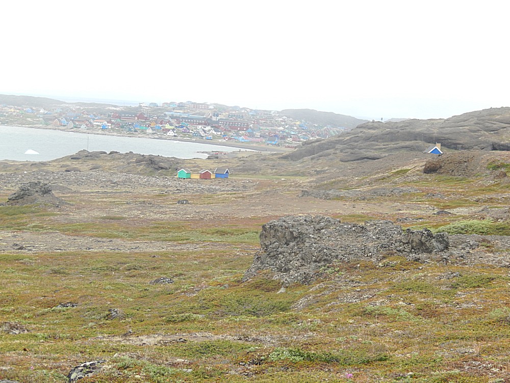
Around the small village of Qeqertarsuaq was a vast wilderness of mountains, glaciers, tundra, little rivers and coastal rock formations. Luckily there were some beautiful trails to explore and it was worth exploring. The Wandelgek first decided to walk the yellow trail (named after the yellow route markers) towards Kuanit which was a place on the coast of the Disko Bay, souuth of Qeqertarsuaq, where the volcanic origin of Disko Island was even more visible then on the black beach of Qeqertarsuaq.
Just outside of the village was…
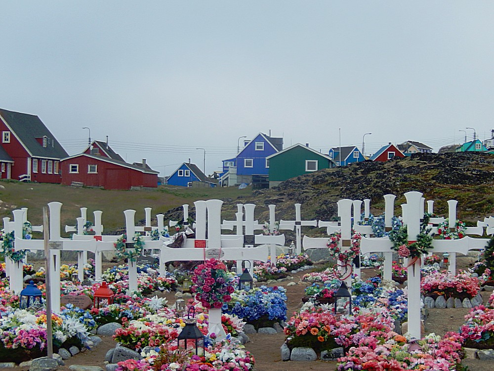
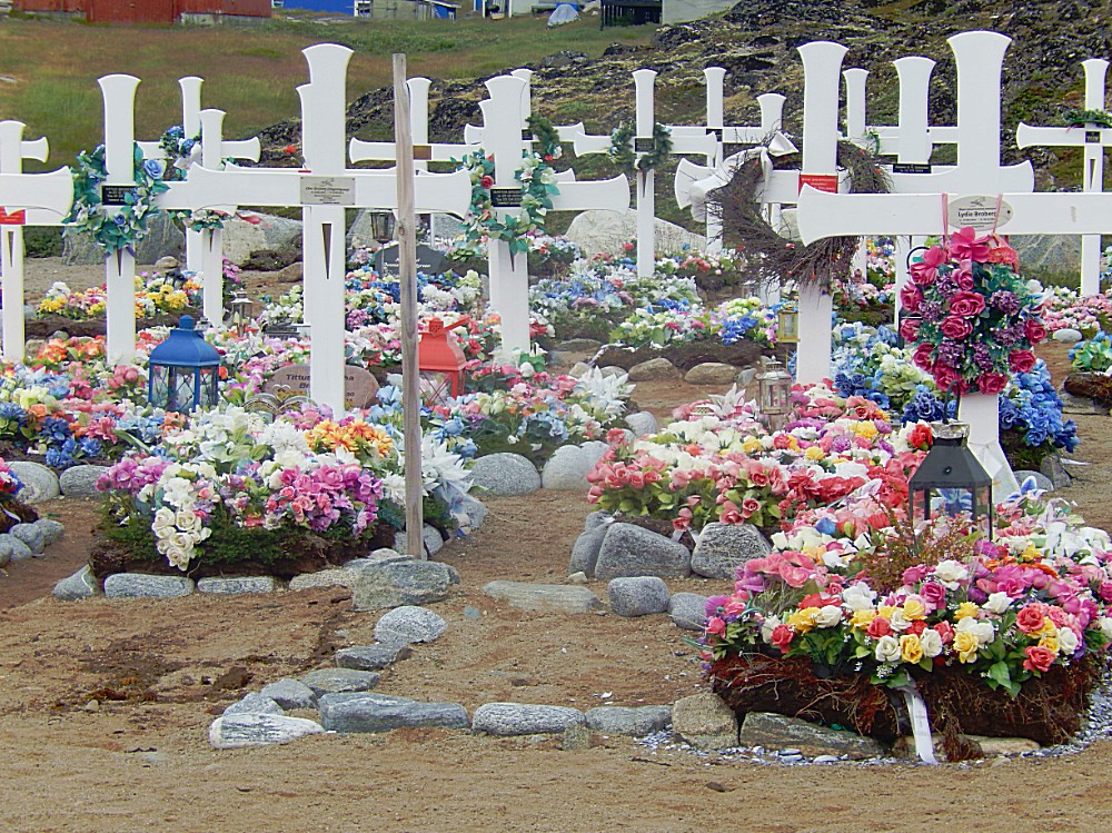
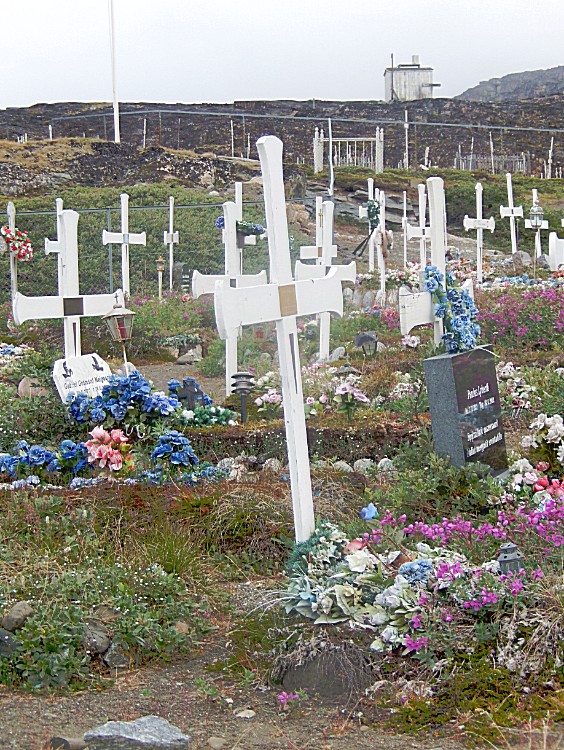
The old graveyard
White crosses and lots of colorful flowers on the graves. But no real flowers. All flowers are artificial. In this extreme northern climate only the very tiny arctic flowers blossom on the tundra, but real large flowers would have to be imported and even then these expensive imported flowers would not last very long. Artificial flowers are the only lasting alternative…
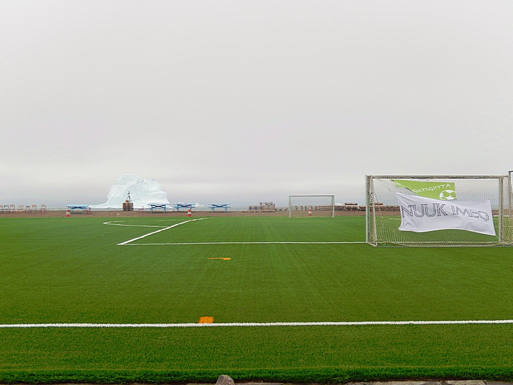
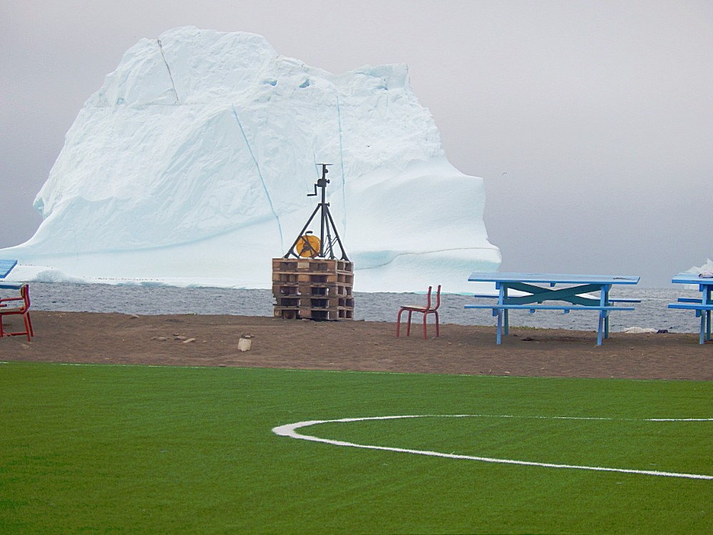
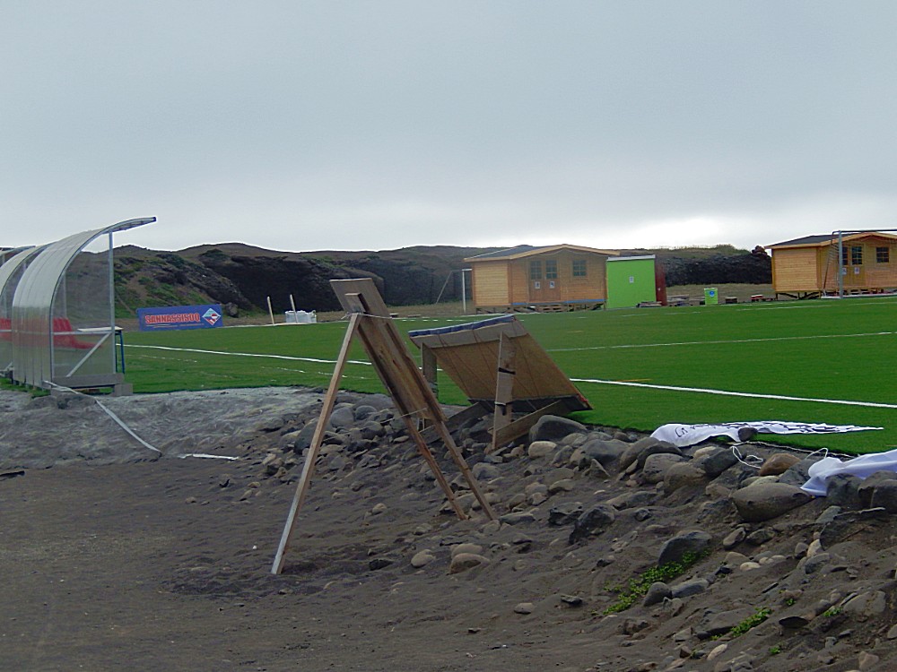
The Football field
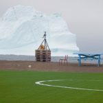
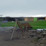
A bit further outside of the village and directly bordering the Disko Bay, was the football field which was empty now because it was still very early in the morning. Later that day there would be a football tournament. I still love the idea of the rapid and anxious flow of a football game set against the calm and seemingly eternal flow of icebergs…
The Arctic Station
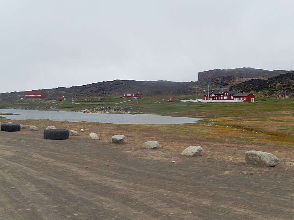
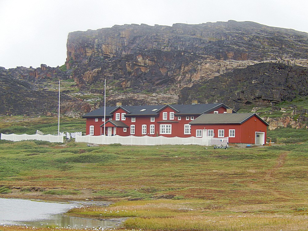
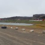
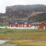
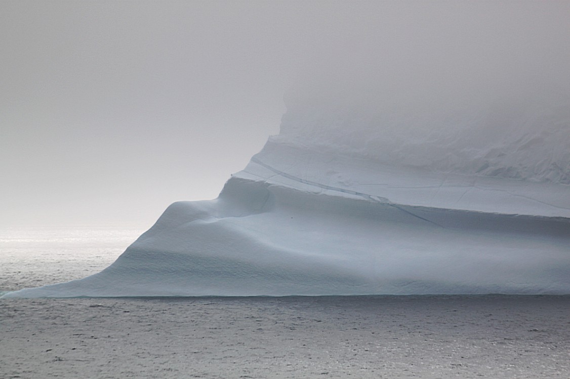
The Arctic Station is located on the south coast of the Disko Island in central west Greenland (69°15’N, 53°34’W). It is thus facing the Disko Bay / Davis Strait and is characterized by an arctic, marine climate. There is a small lagune immediately in front of the station. The lagune is in turn separated from the open ocean by a sandy beach (‘Sorte Sand’). Some of the world’s largest icebergs drift by the Arctic Station. The cliffs behind the station abruptly reaches heights of more than 600 metre.
The main building (comprising e.g. guest facilities and the private home of the chief of logistics), the laboratory and library, and the private home of the chief scientist are all located in a nature sanctuary, approximately 1 km west of a small town, Qeqertarsuaq (formerly Godhavn), with ca. 1100 inhabitants.
The botanist Morten Petersen Porsild founded the Arctic Station in 1906. The University of Copenhagen became the owner of the research facility.
The surroundings of Arctic Station offer both terrestrial and marine environments, which makes the research station ideal for botanists, zoologists, geologists, geophysicists and physical geographers. A meteorological station was established in 1990 and a full record of climate data exists since 1991. It has become an important center of climate data collection.
Leaving the village
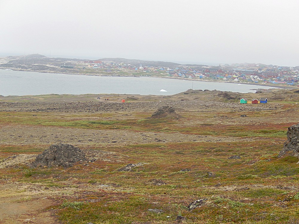
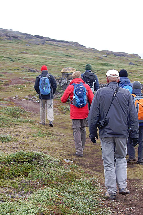
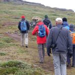
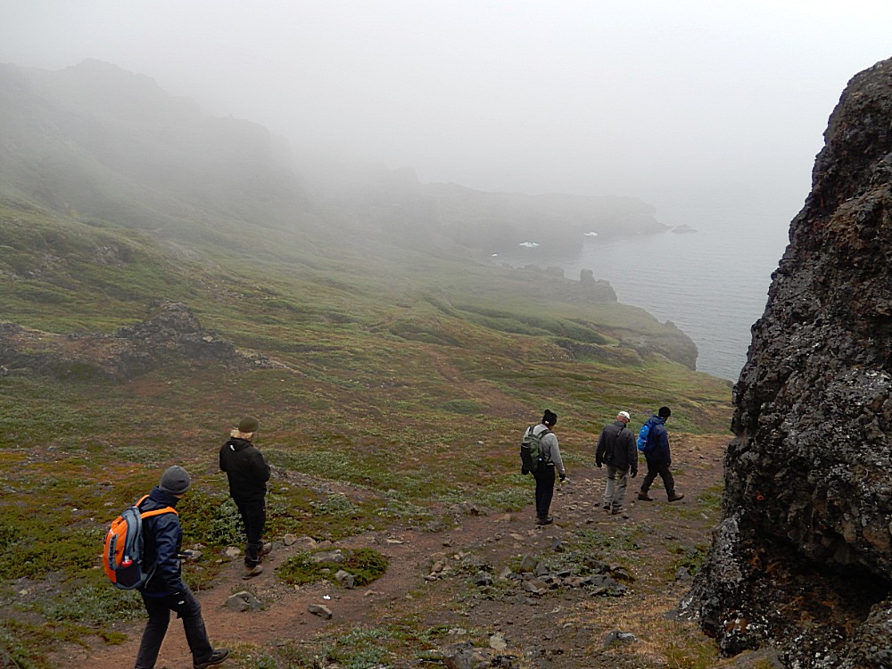
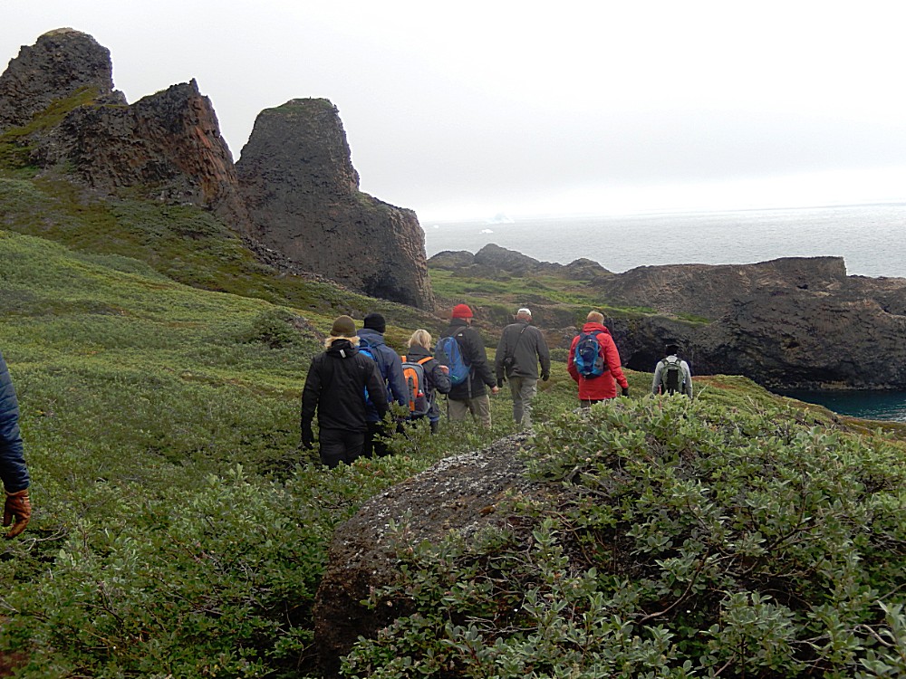
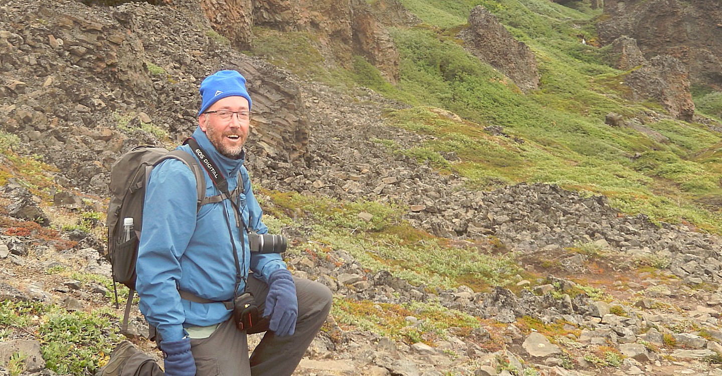
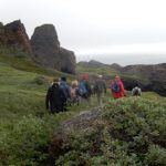
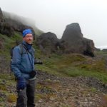
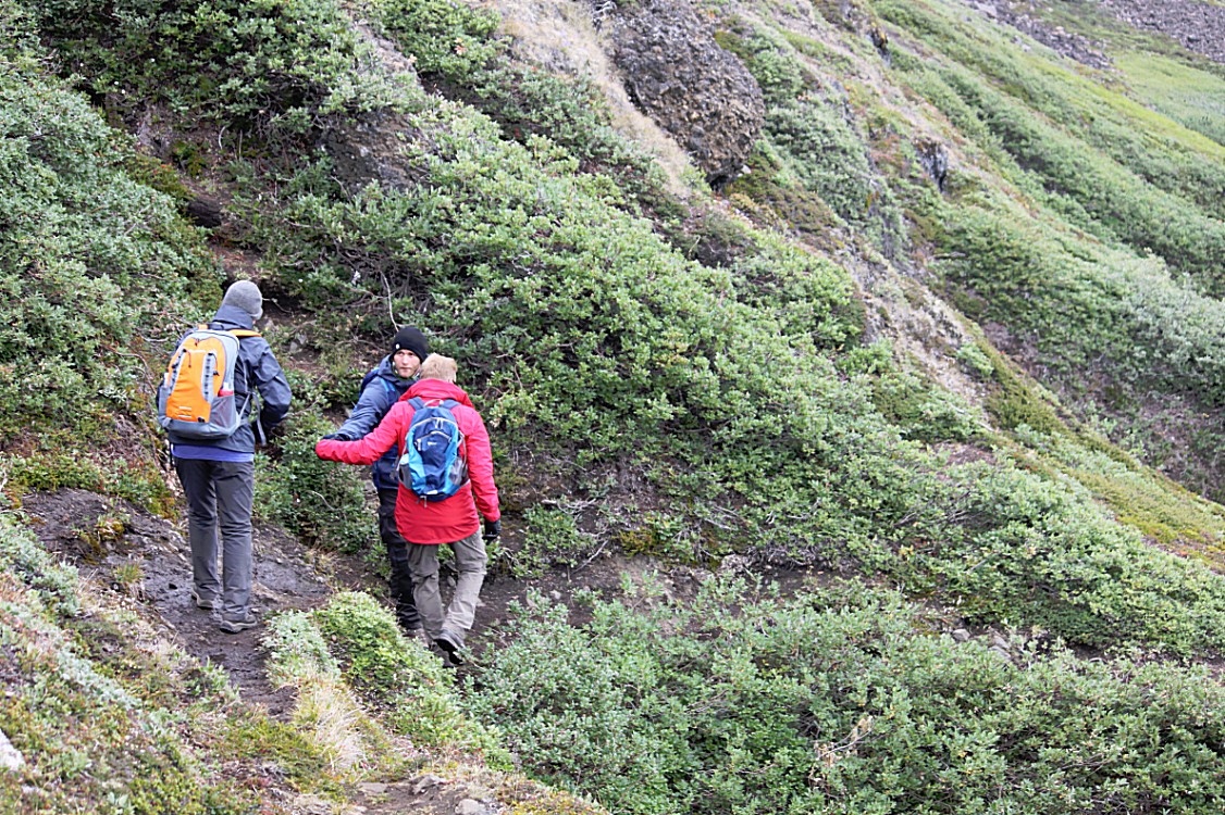
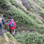
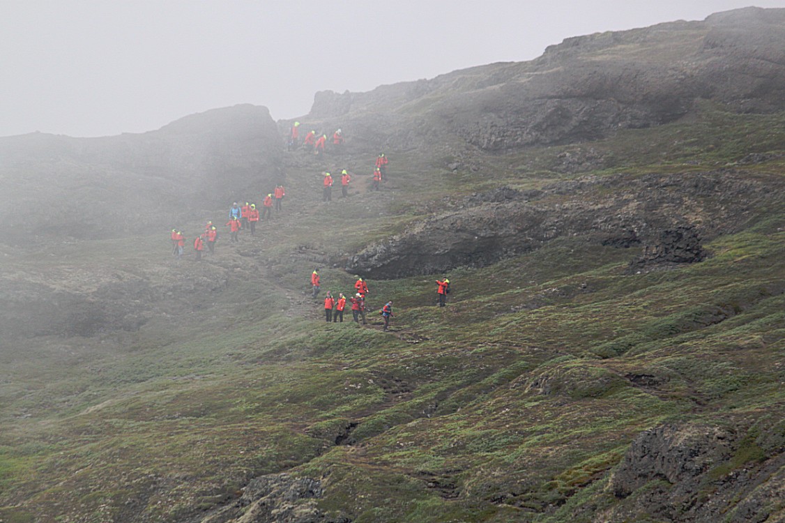
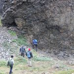
The Wandelgek had joined a group of about 10 walkers towards Kuanit. We now left the village and the trail began to ascend and eventually we got to a bridge to cross the river.
Advancing along the slippery coastline
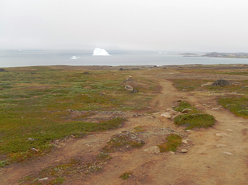
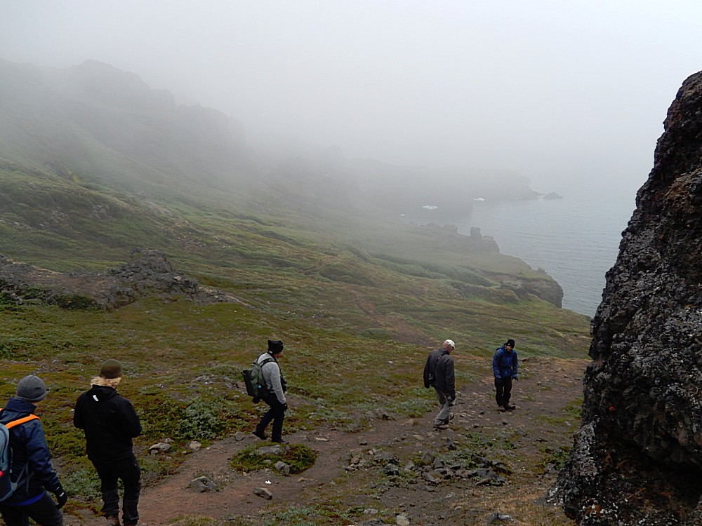
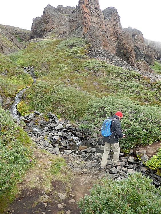
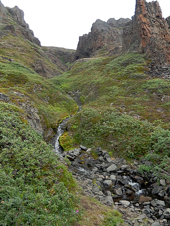
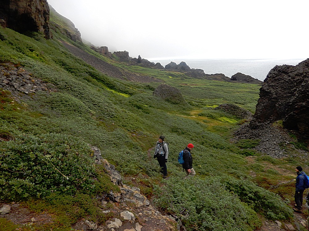
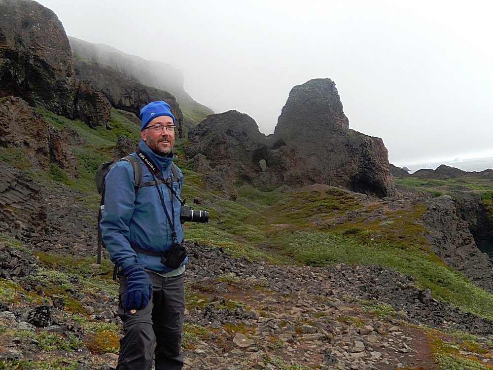
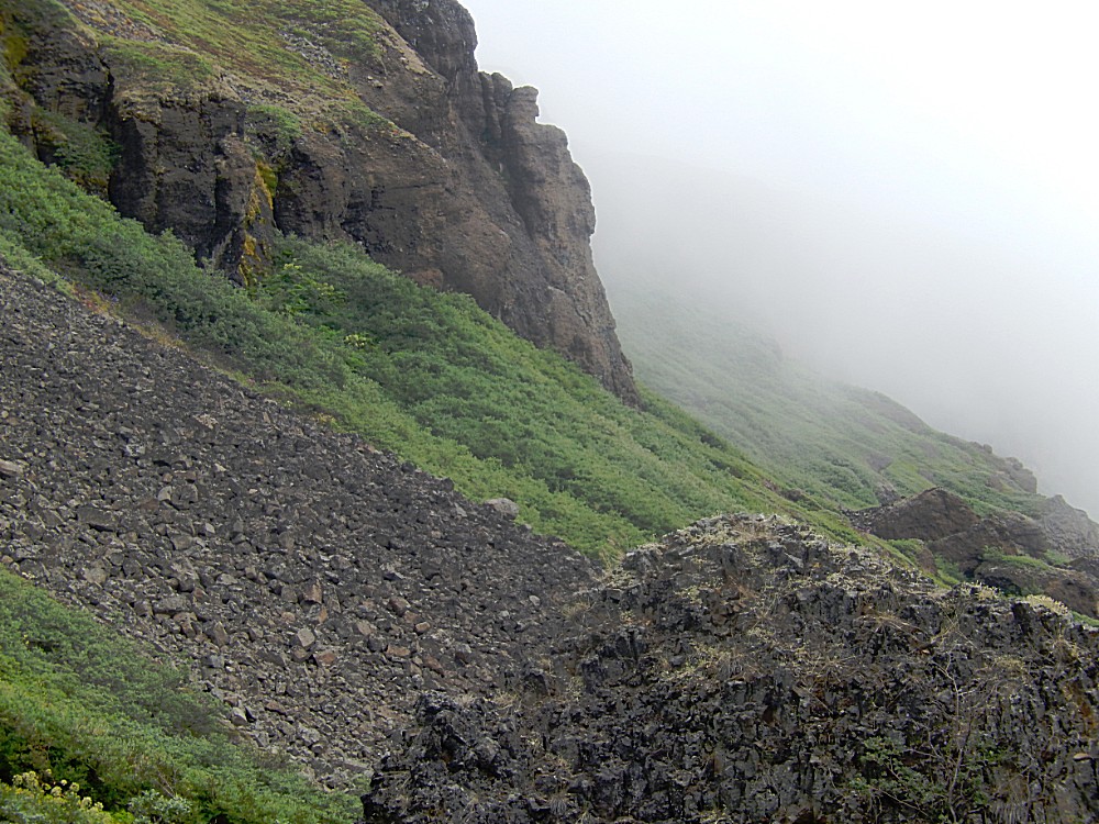
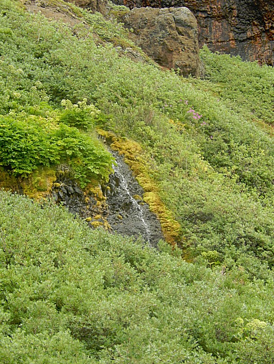
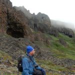
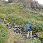
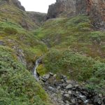
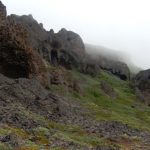
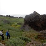
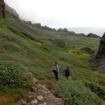
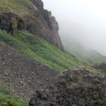
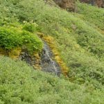
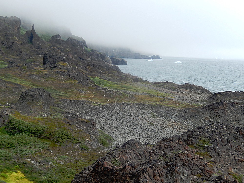
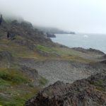
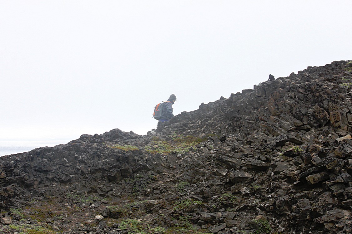
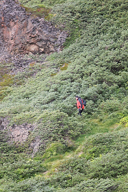
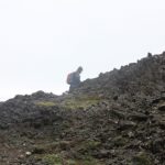
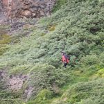
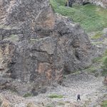
The trail was gently climbing on a coastline that slowly got rockier and steeper. Weather was cold and misty and the trail was often covered by plants. Underneath was wet and slippery rock rubble or just as slippery wet rounded stones. The plants were wet and slippery too. It was not an easy walk, but one that needed care and attention with every step made. I guess this would not be easy in dry weather conditions either. There were small rivers to pass and it was a clear advantage to walk with a group now, helping eachother gettting passed the really slippery parts. Think of moss growth on wet stones.
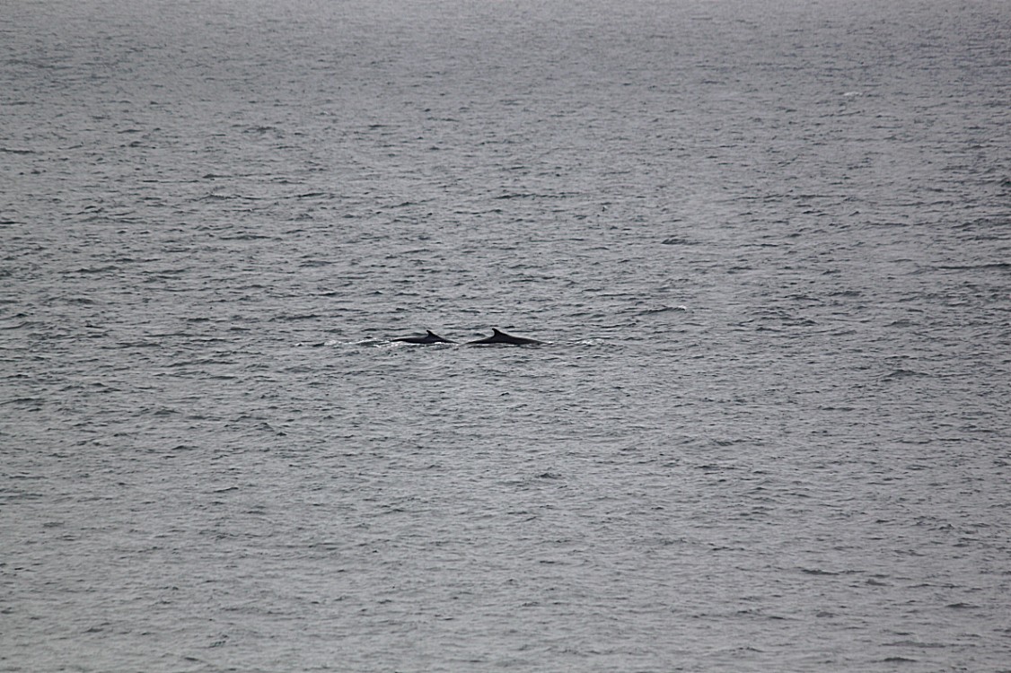
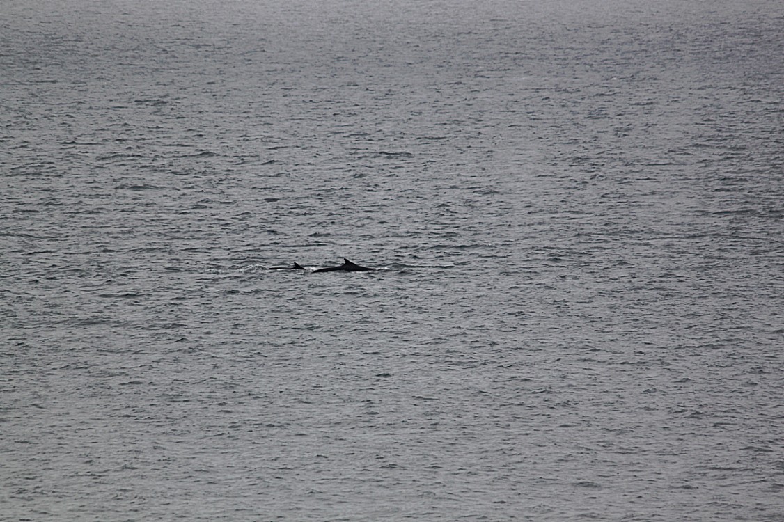
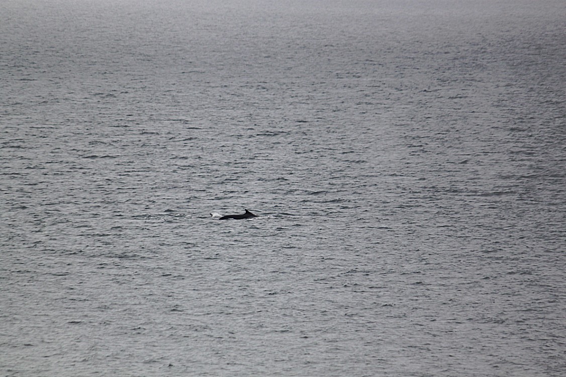
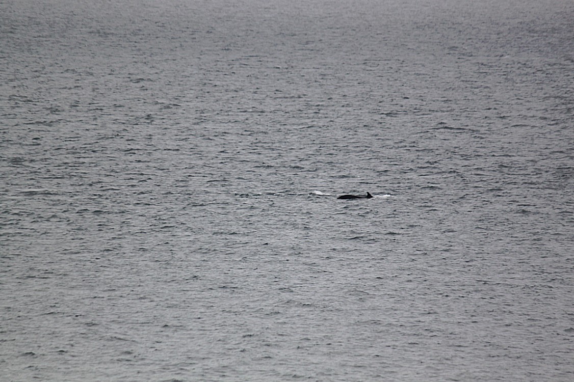
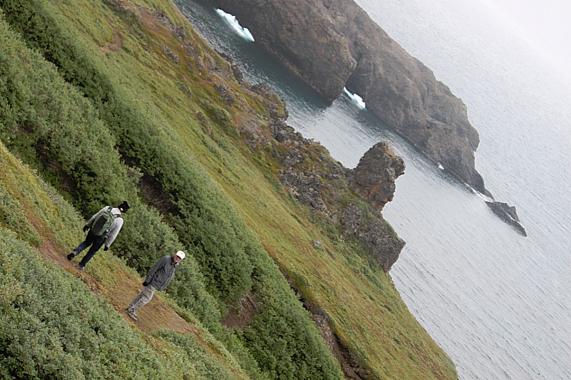
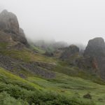
Meanwhile The landscape got better and better. We were walking many kilometers south along the coast sometimes passing wet rock rubble slopes, followed by passing a small river than enjoying a magnificent view and lucky as we were, our efforts were rewarded by several…
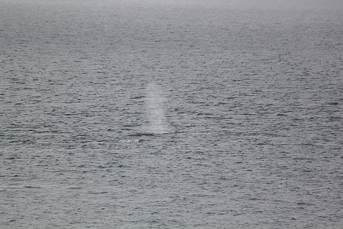
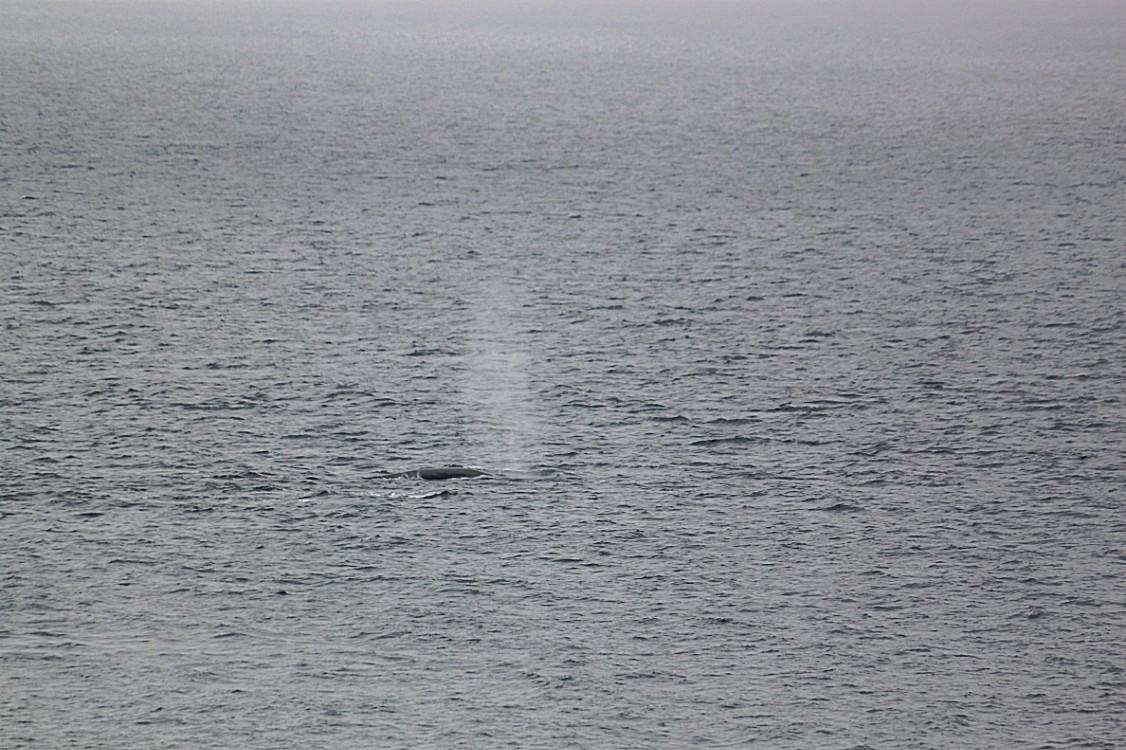
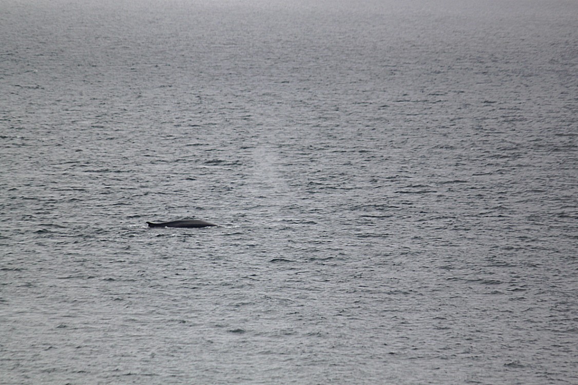
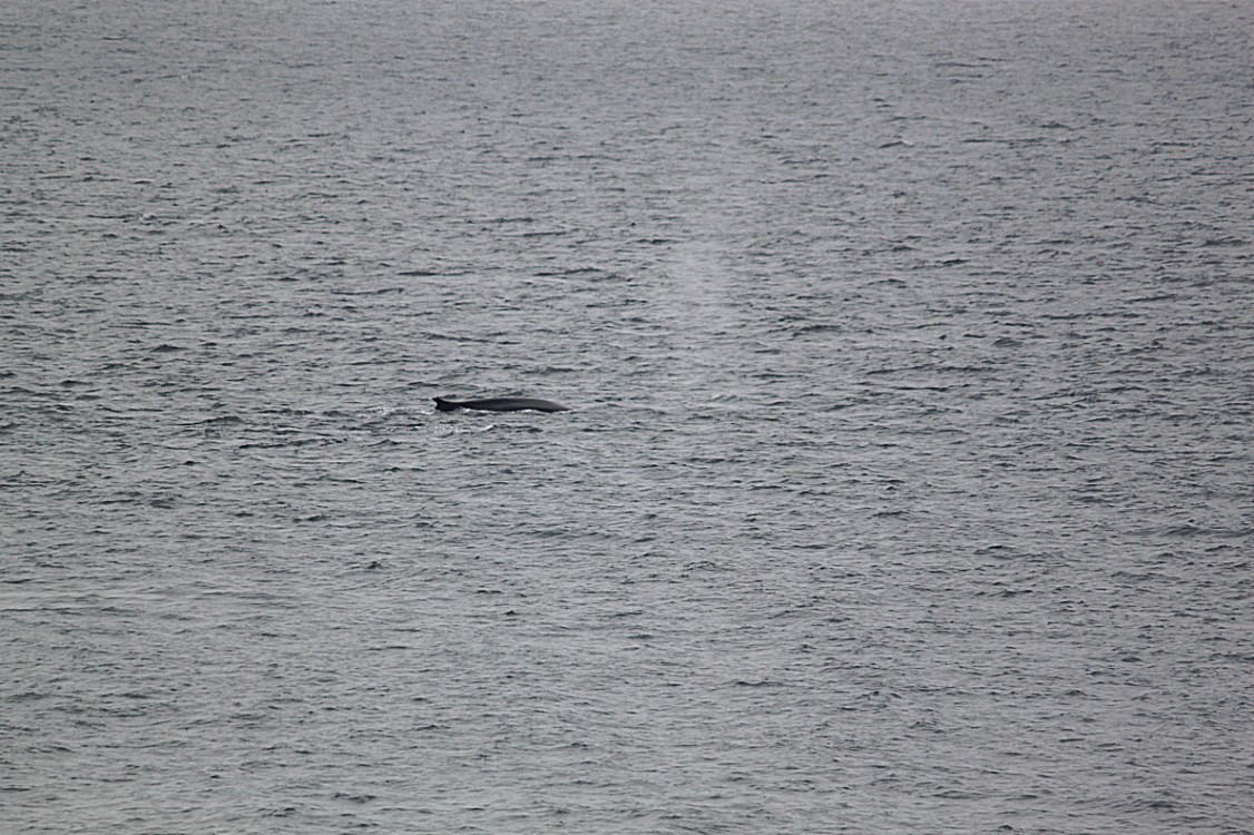
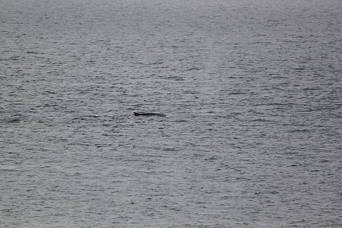
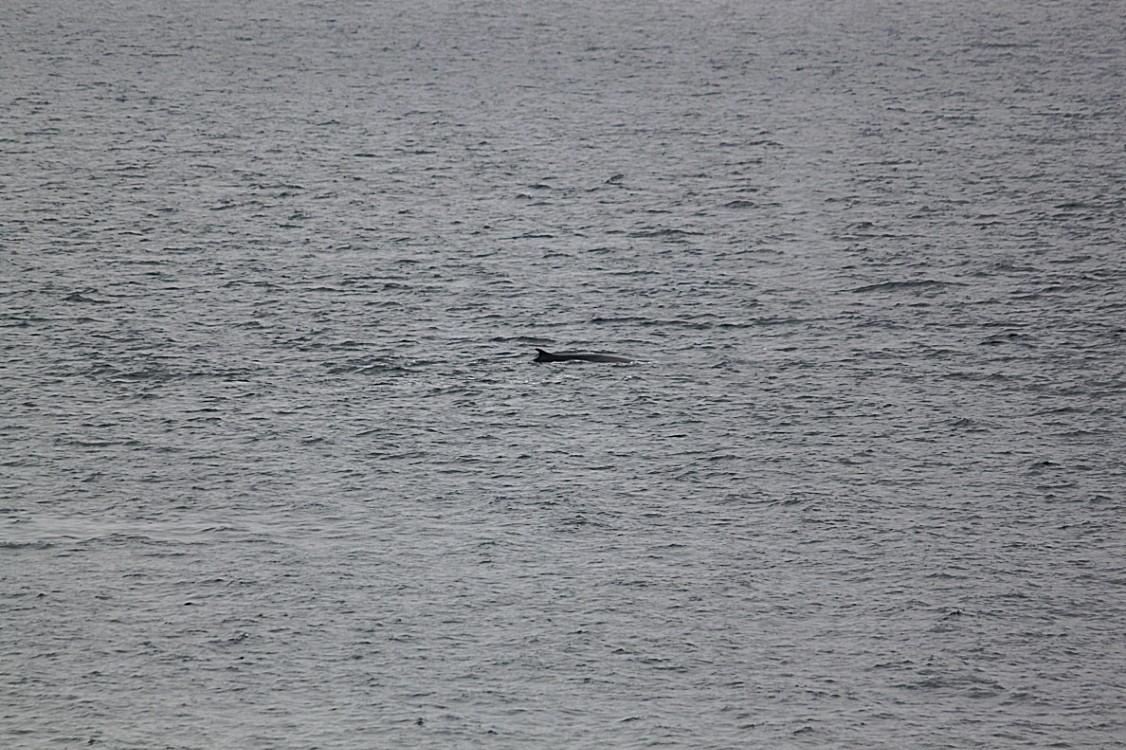
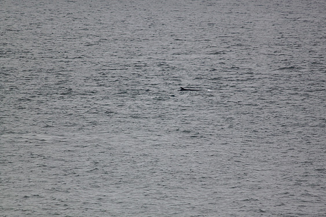
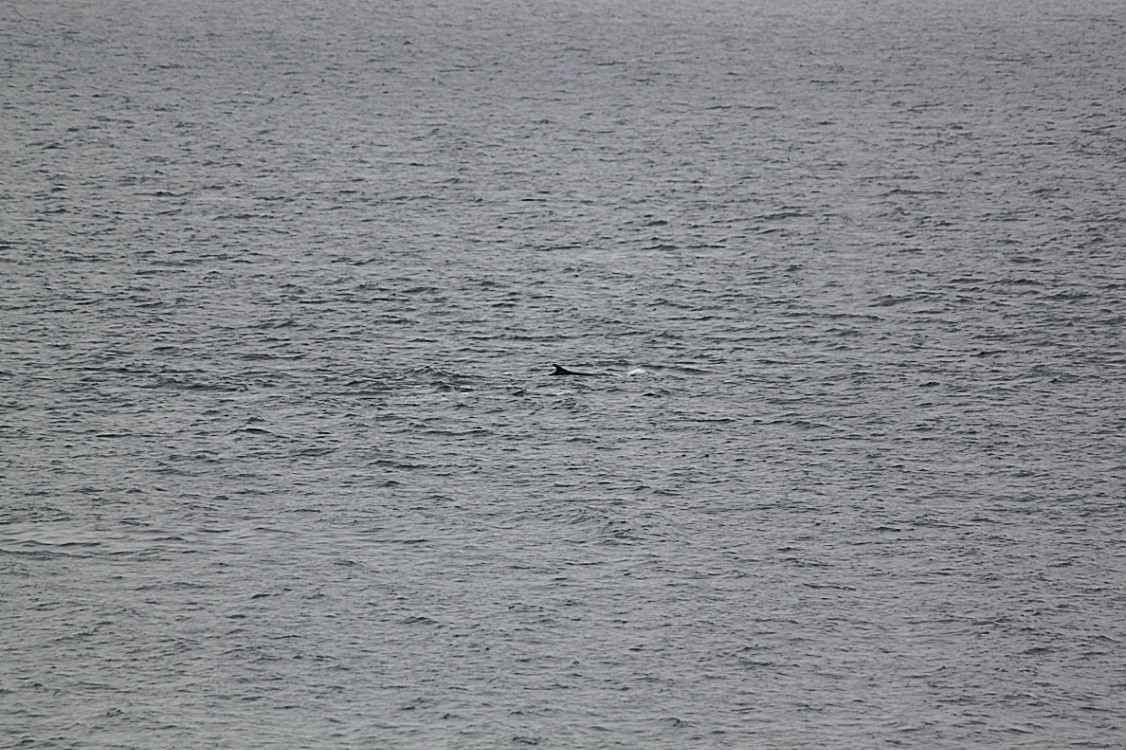
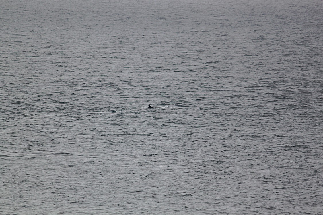
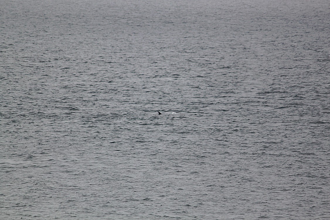
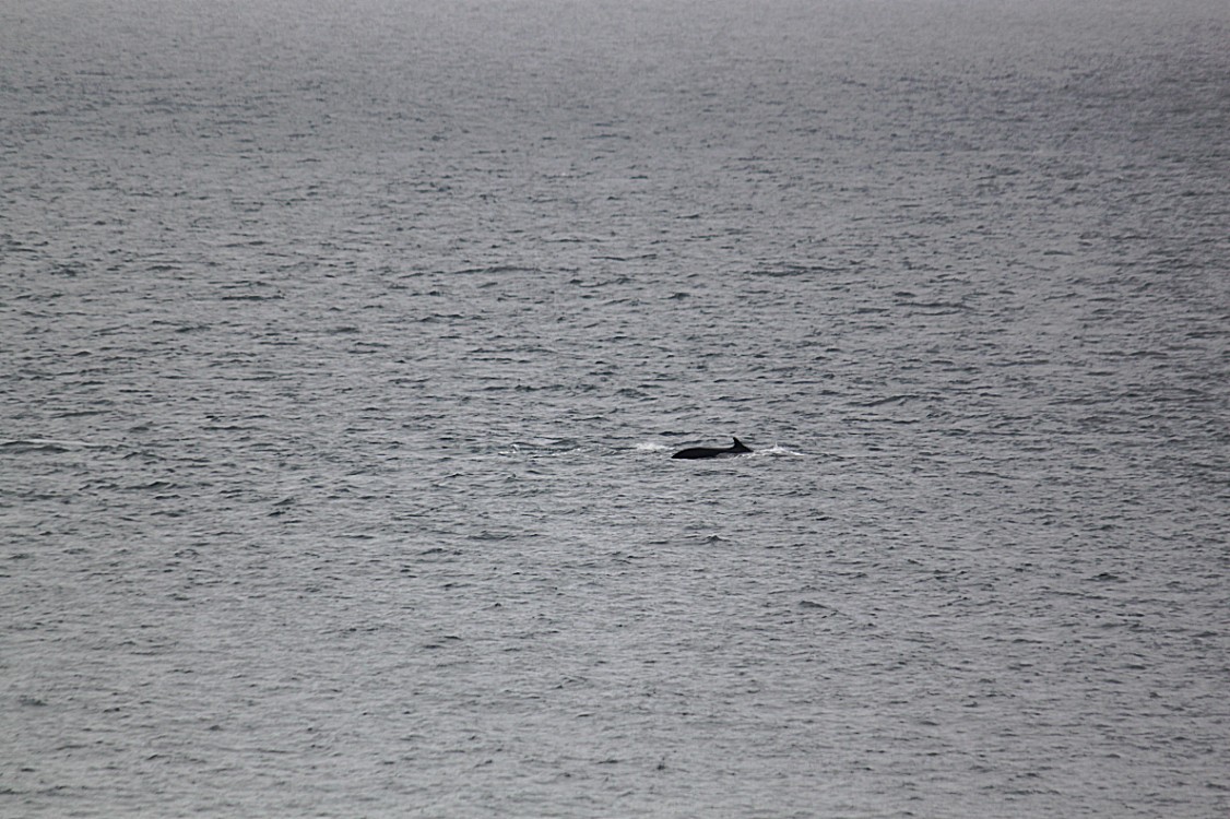
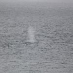
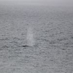
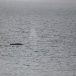
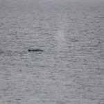
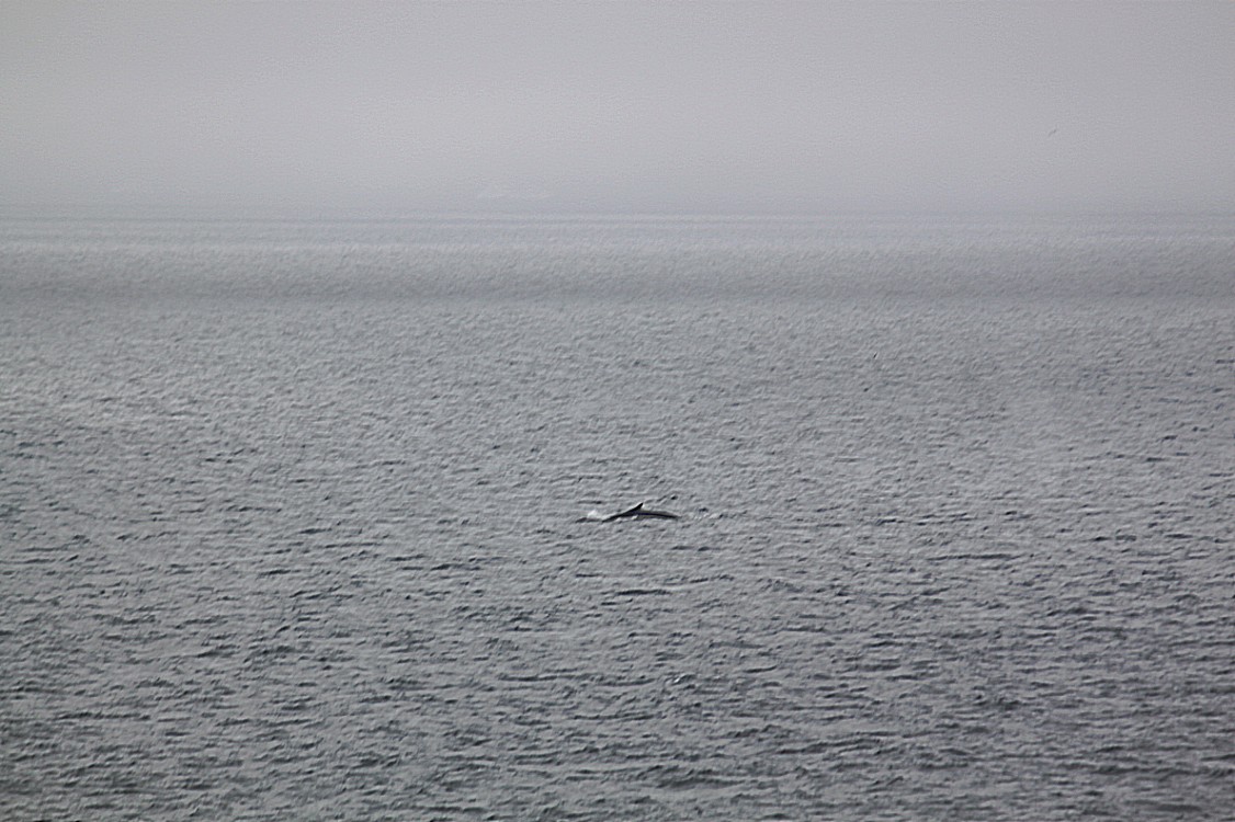
Whale sightings
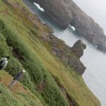
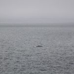
Humpback Whales to be precise. They were swimming patallel to the coastline of Disko Island either into Disko Bay or out into the much larger Baffin Bay.
Almost Ireland
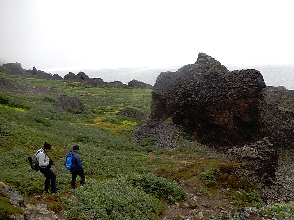
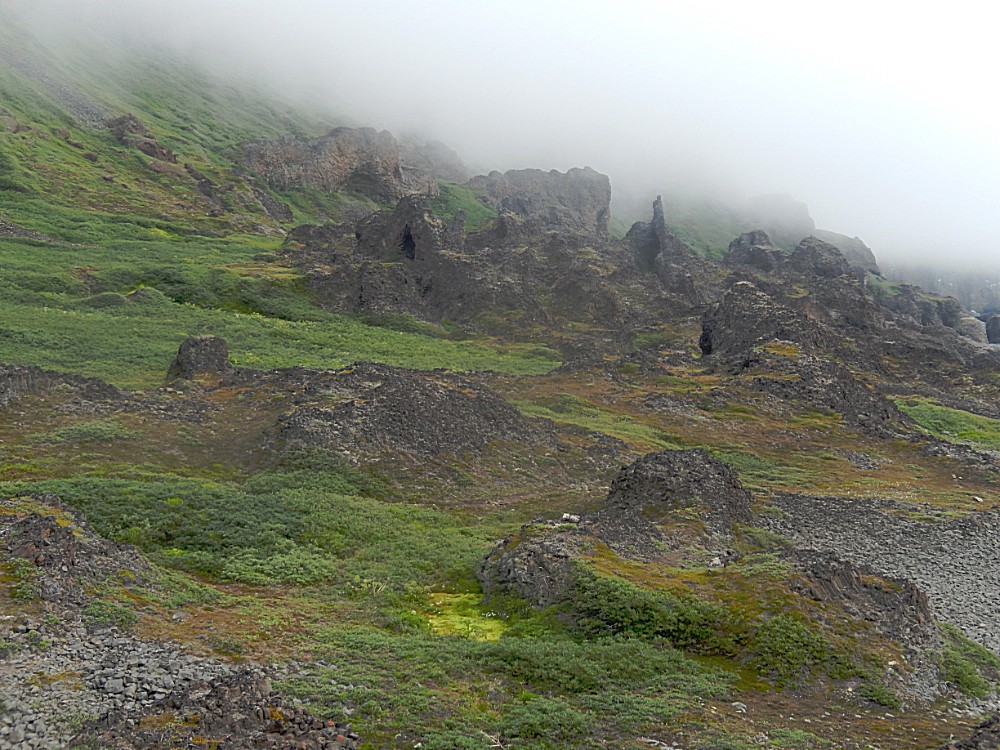
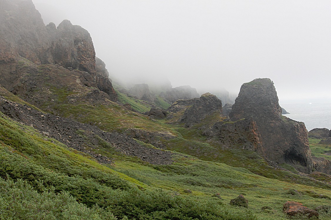
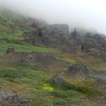
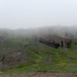
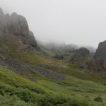
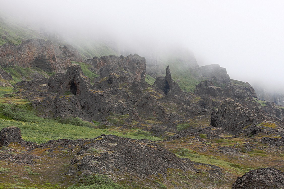
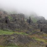
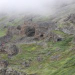
The next part of the trail was maybe one of the very best ever. The landscape was reminiscent of tgat which I had seen in Ireland but the mist shrouds made it even better. This could have been the ideal land of the Celts, or the Cornwall of Arthur in many a Hollywood movie.
It is the kind of landscape where you know you have to be careful with every step not to fall or slip down hill, but nonetheless you do because the views are that mesmerizing that they just draw away your attention from walking and you can’t help preventing that from happening…
So yes I slipped a few times ?
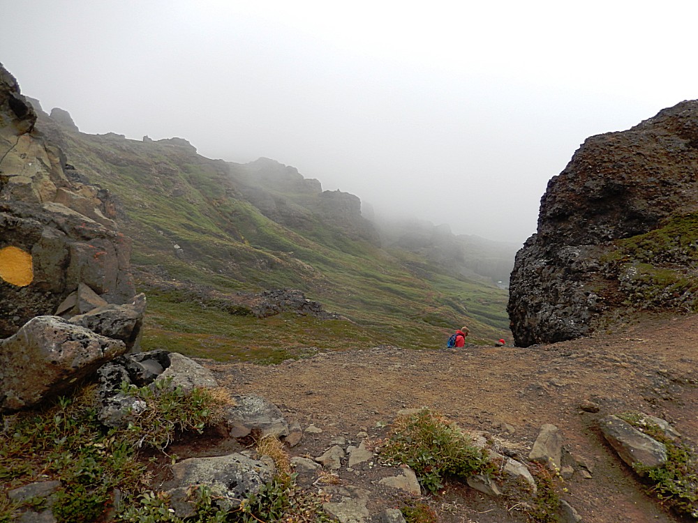
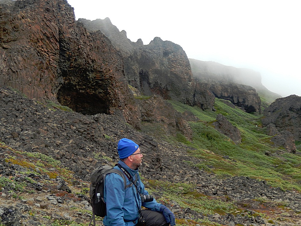
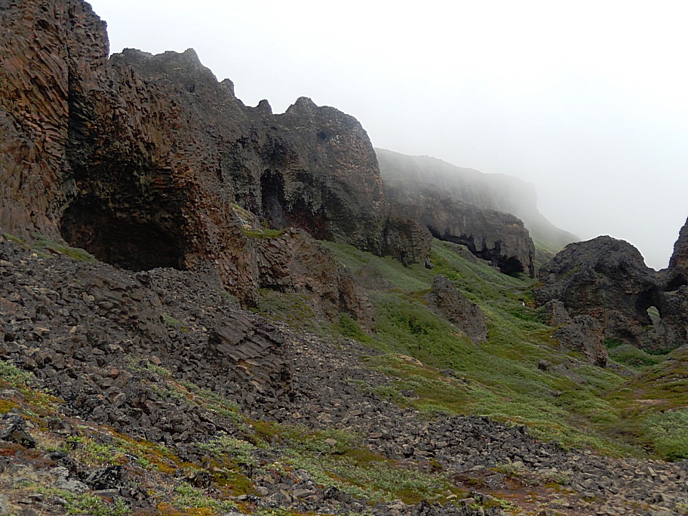
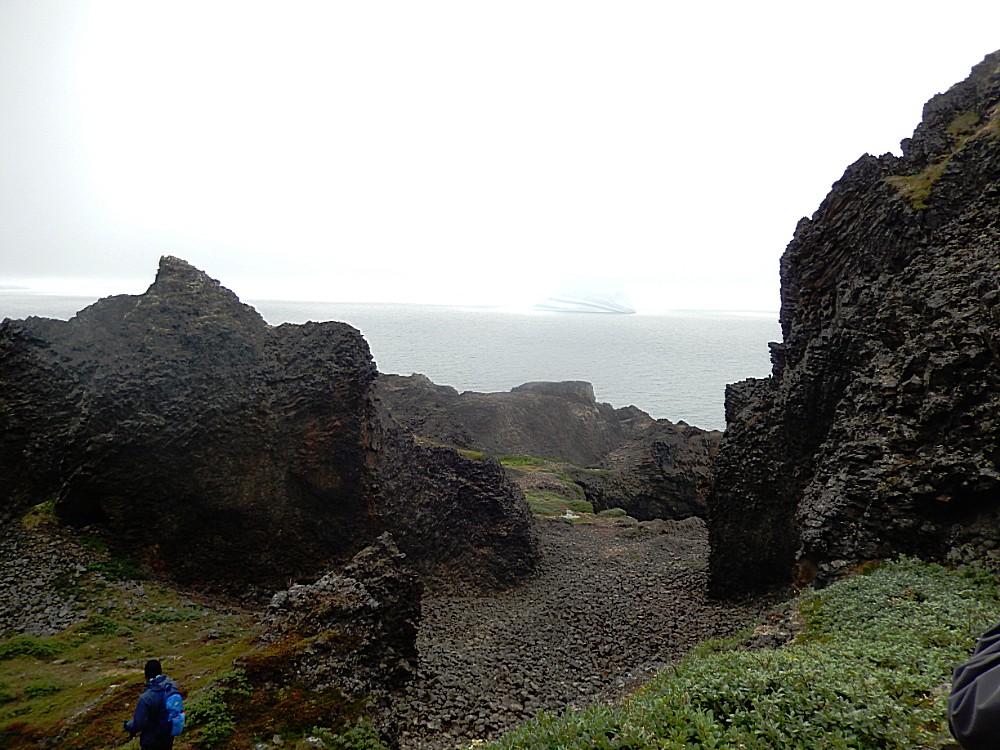
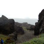
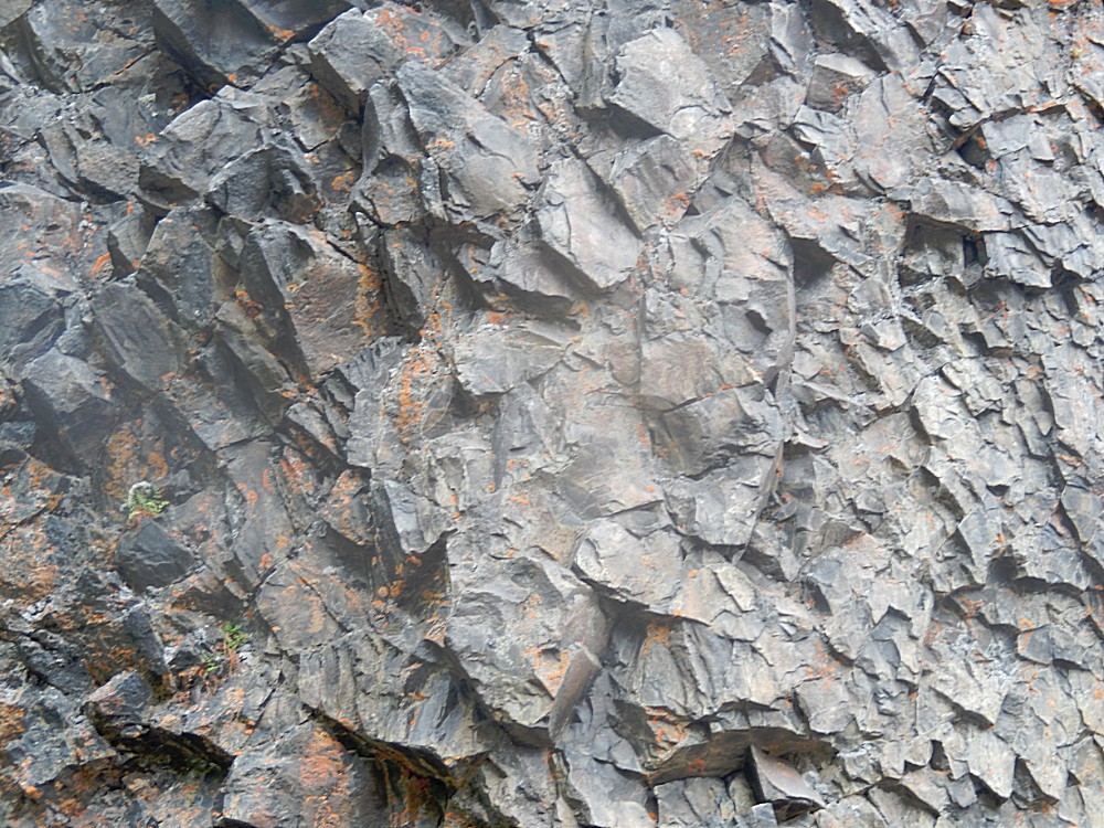
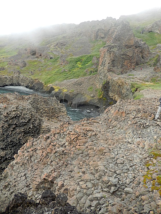
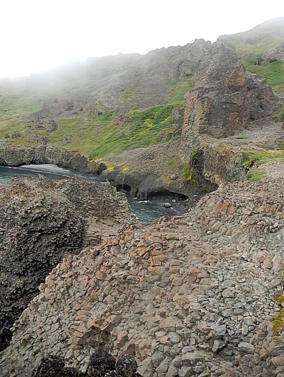
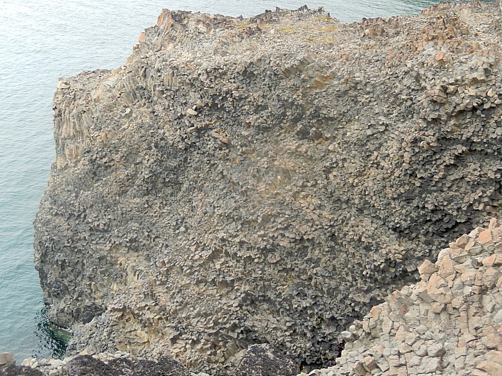
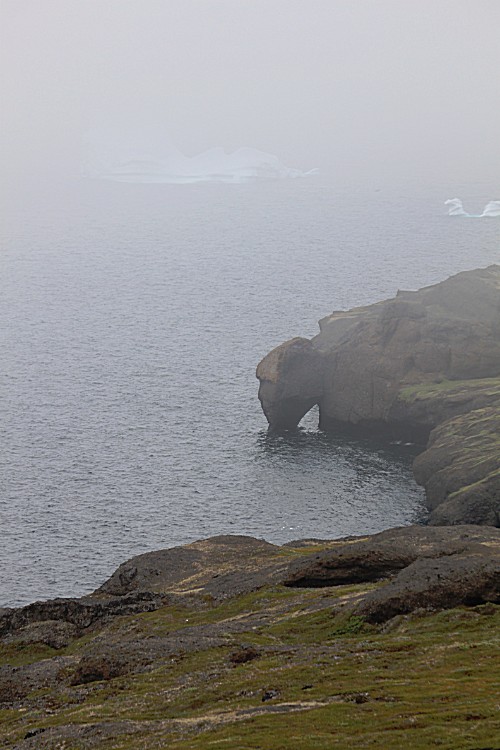
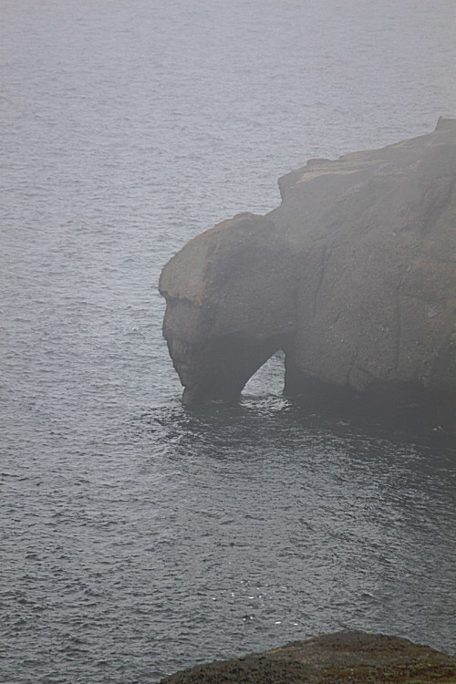
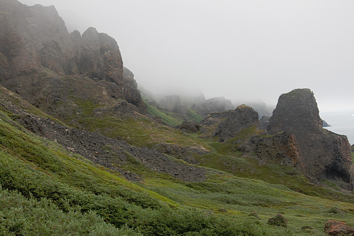
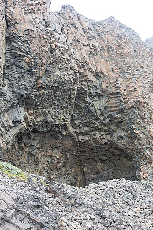
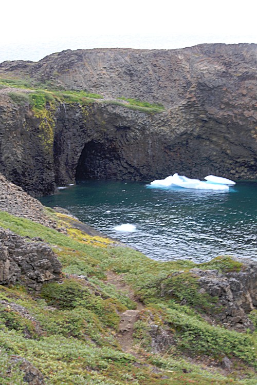
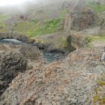
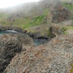
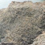
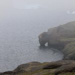
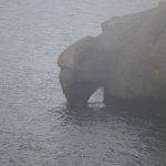
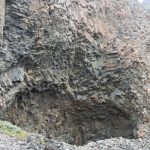
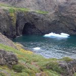
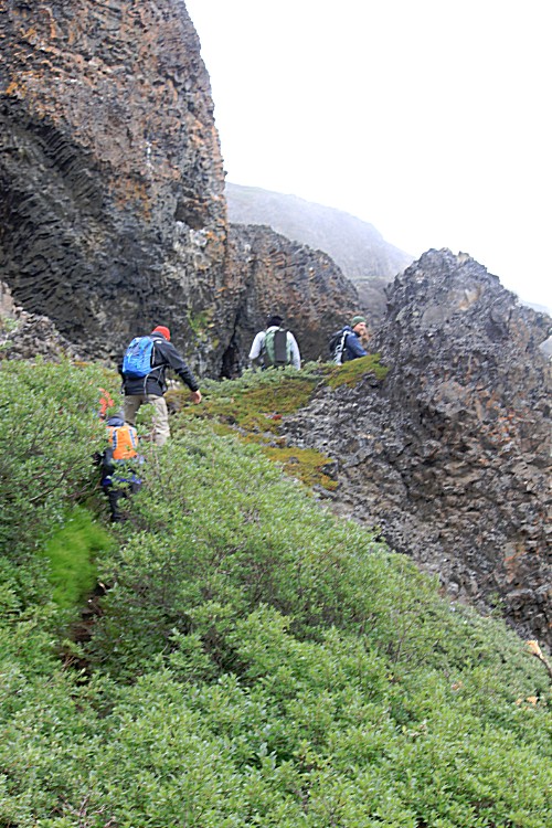
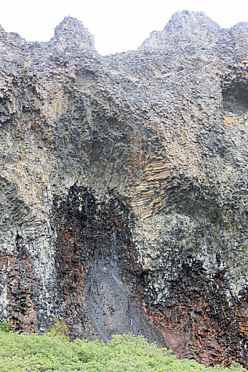
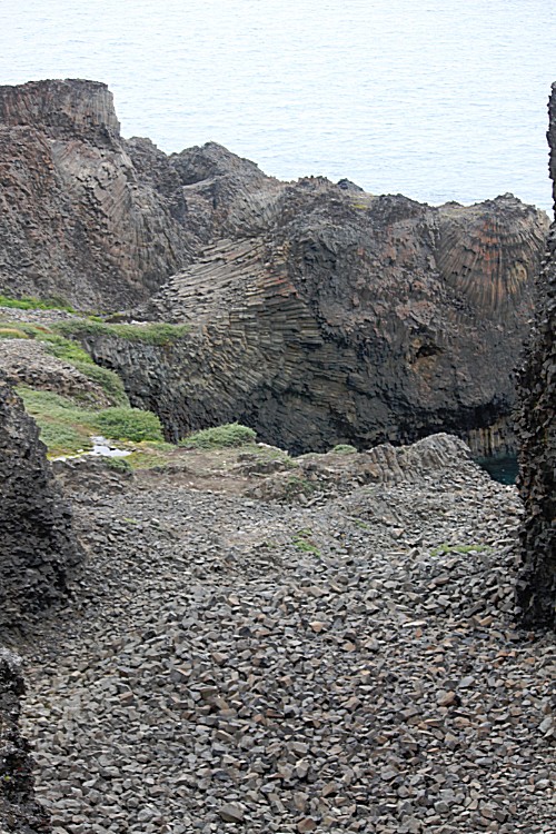
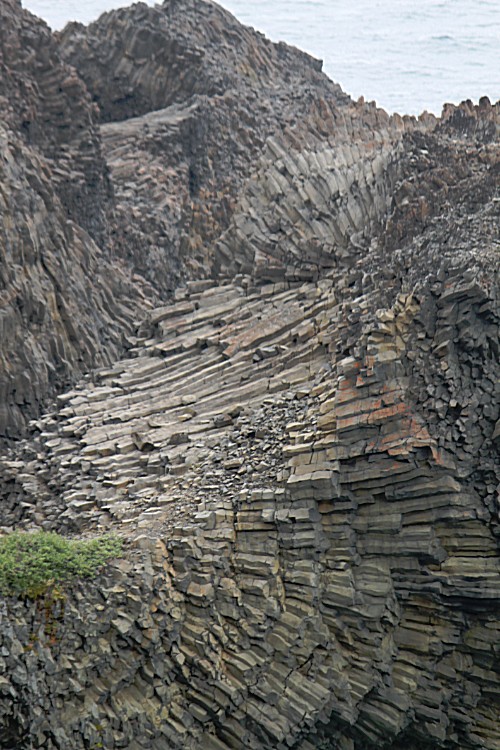
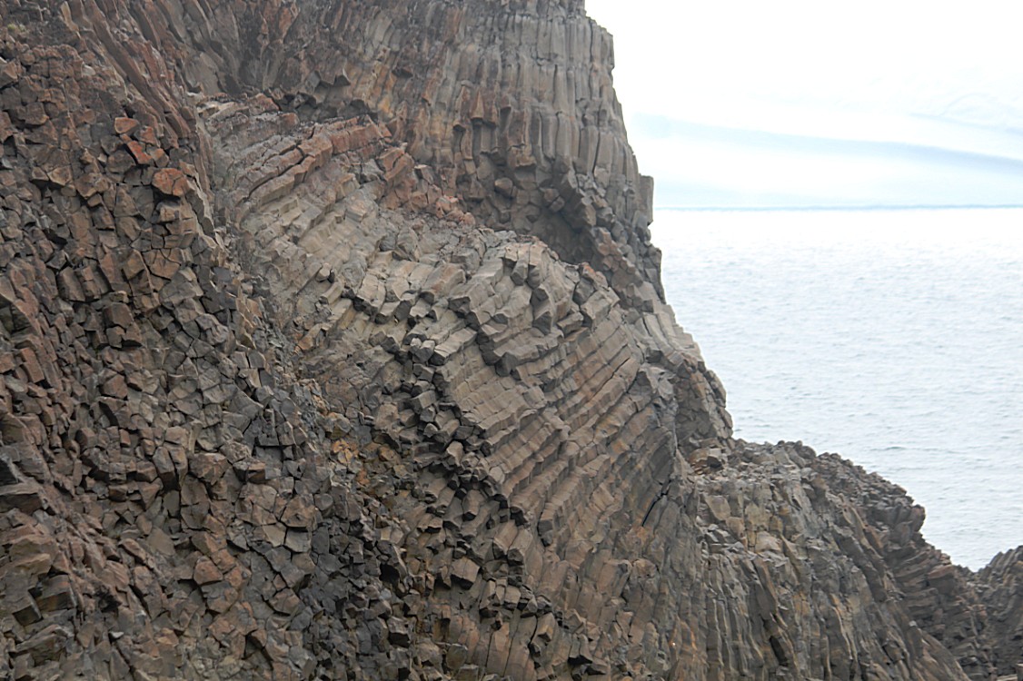
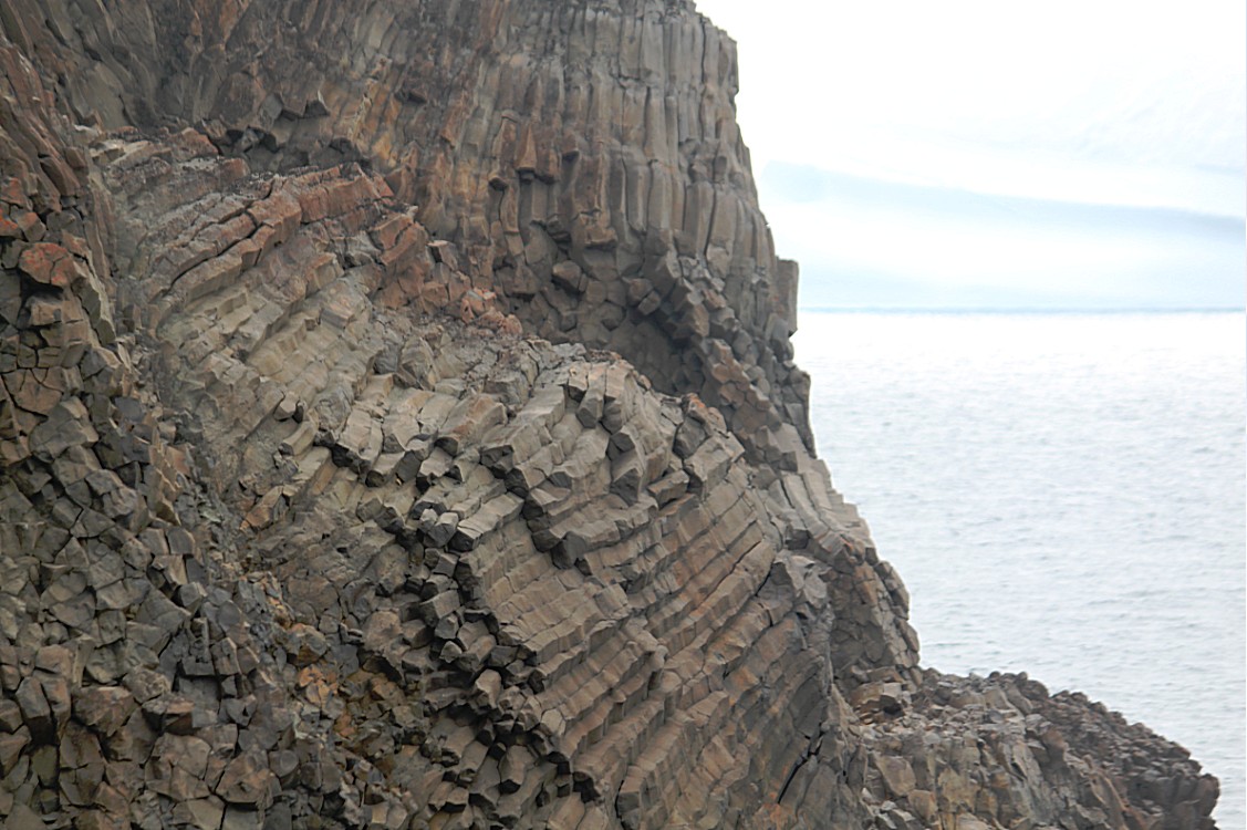
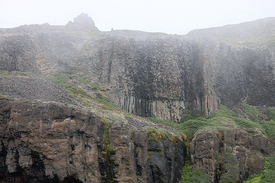
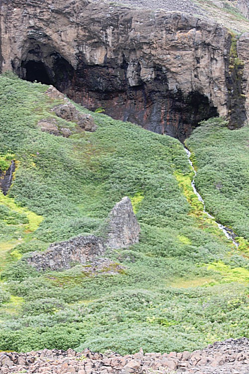
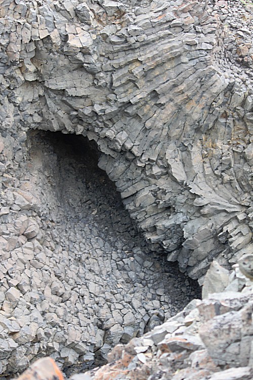
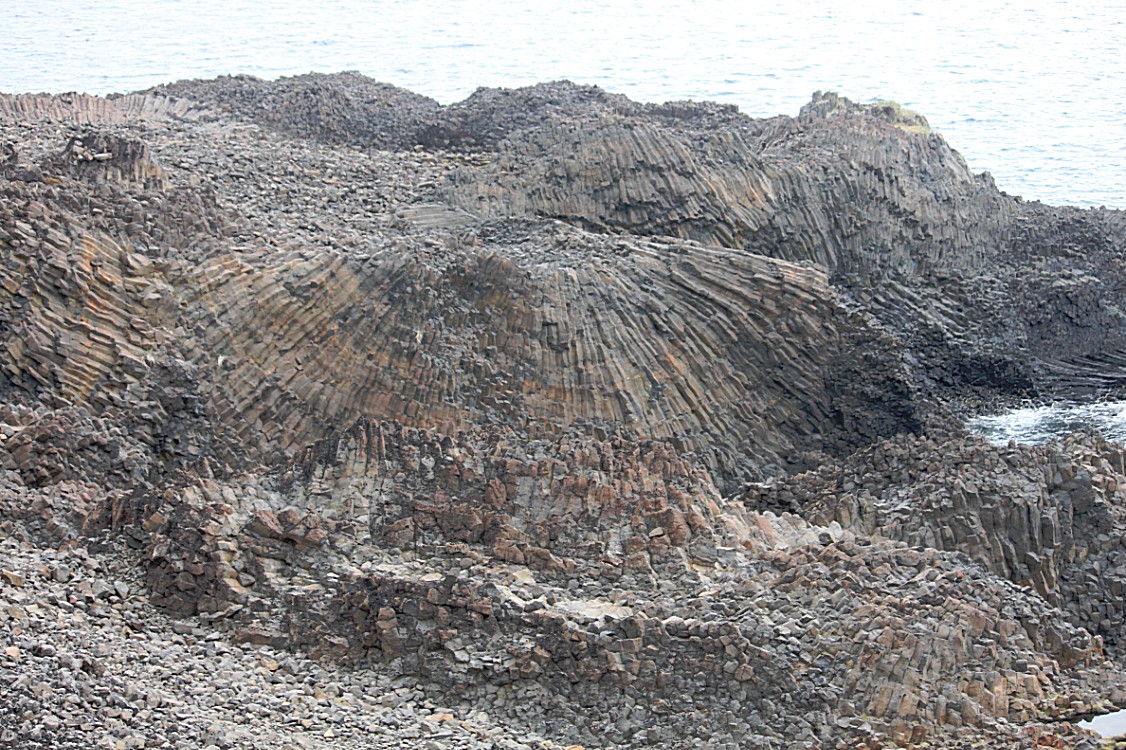
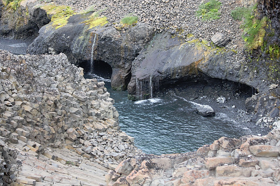
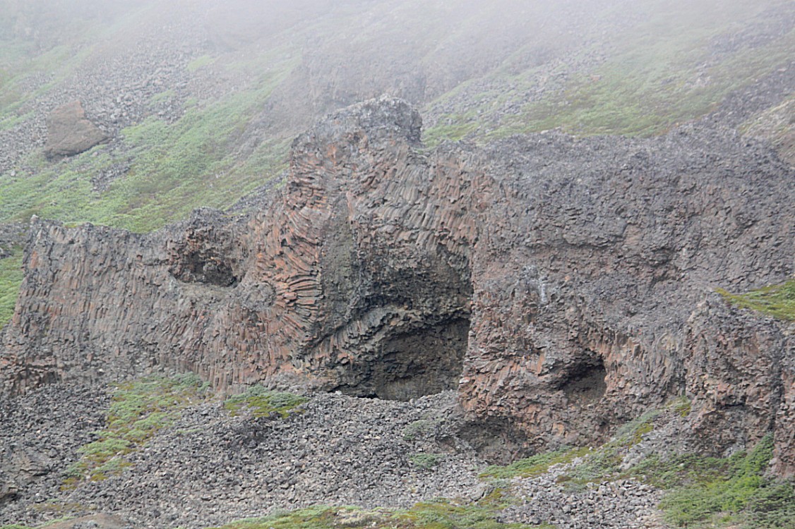
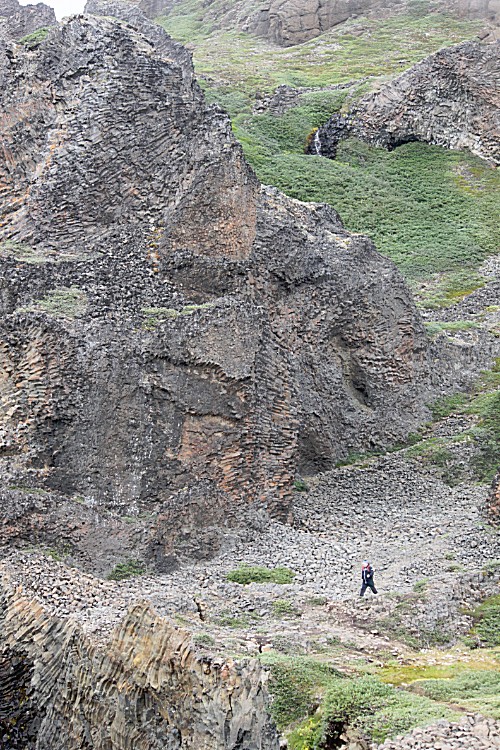
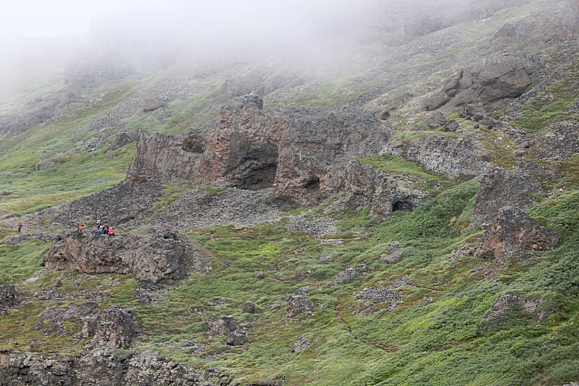
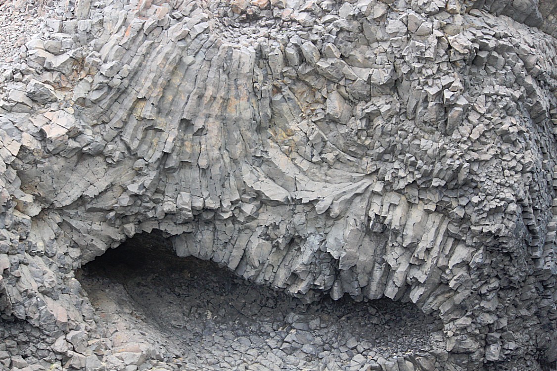
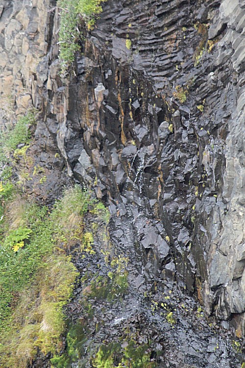
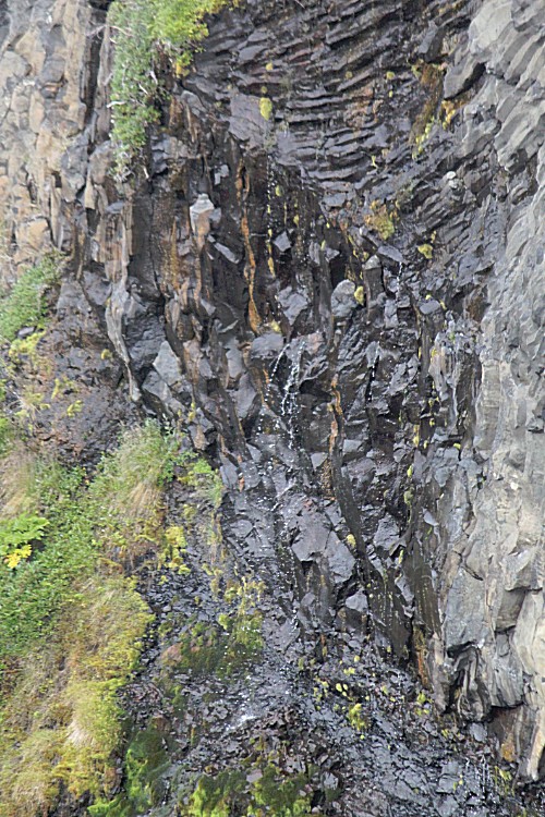
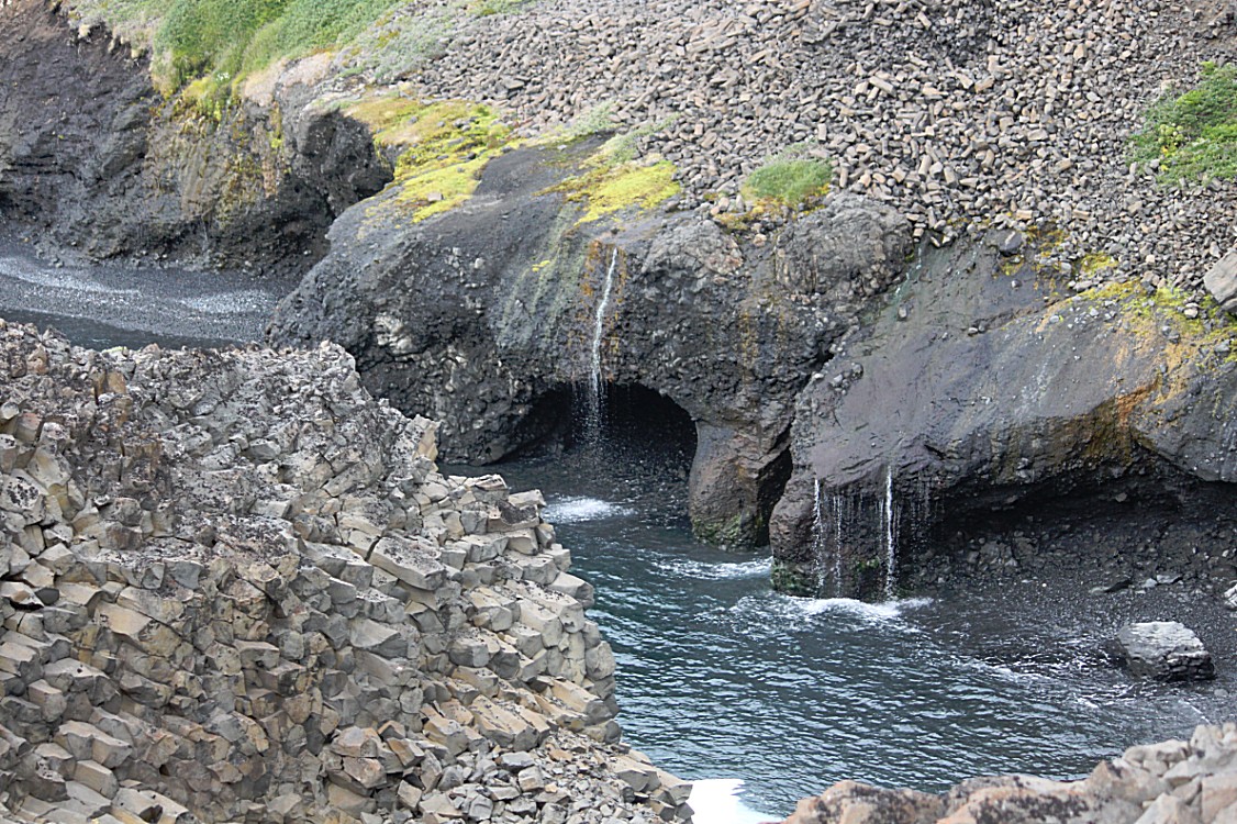
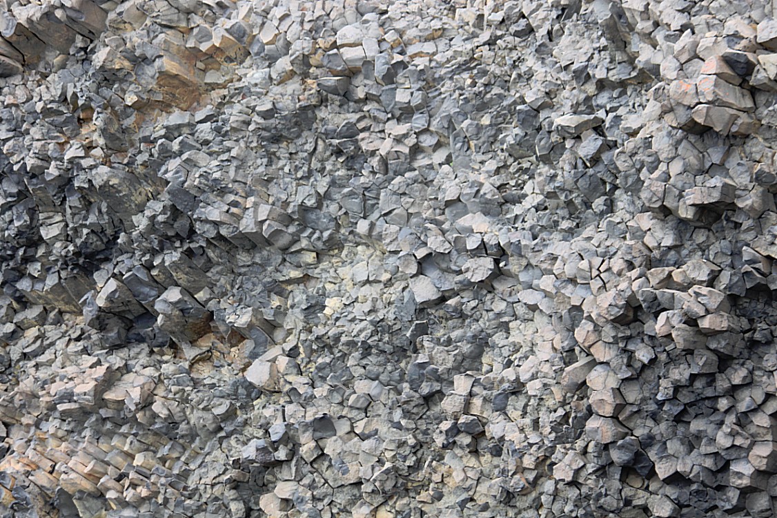
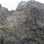
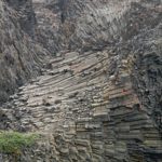
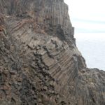
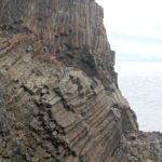
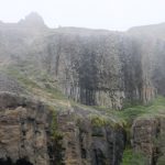
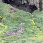
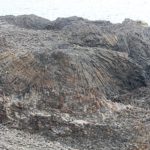
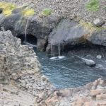
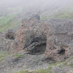
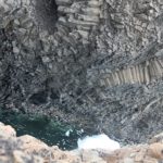
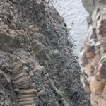
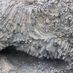
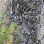
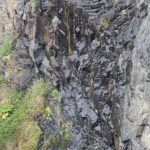
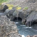
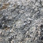
There was a view spot which showed me this wonderful rock formation which seemed to be an elephant lowering its trunk into the water to drink. The mist made it even look more real. The rocks in the area where we now arrived were of a different stucture than the ones I saw before. It almost seemed as if they were made out of hundreds or thousands of smaller rocks sqeezed together into larger ones…
Volcanic rock at Kuanit
This was the place the locals called Kuanit and the comparison with Ireland became even more obvious. In Northern Ireland is a famous tourist attraction called The Giant Steps or The Giant’s Causeway.
Legend of the Giant’s Causeway
According to legend, the columns are the remains of a causeway built by a giant. The story goes that the Irish giant Fionn mac Cumhaill (Finn MacCool), from the Fenian Cycle of Gaelic mythology, was challenged to a fight by the Scottish giant Benandonner. Fionn accepted the challenge and built the causeway across the North Channel so that the two giants could meet. In one version of the story, Fionn defeats Benandonner. In another, Fionn hides from Benandonner when he realises that his foe is much bigger than he is. Fionn’s wife, Oonagh, disguises Fionn as a baby and tucks him in a cradle. When Benandonner sees the size of the ‘baby’, he reckons that its father, Fionn, must be a giant among giants. He flees back to Scotland in fright, destroying the causeway behind him so that Fionn would be unable to chase him down. Across the sea, there are identical basalt columns (a part of the same ancient lava flow) at Fingal’s Cave on the Scottish isle of Staffa, and it is possible that the story was influenced by this.
Does anyone else notice the comparison with Tolkienesque name giving in his famous legends? Fenian, Fionn and Fingal would have fitted in nicely with Fëanor, Felagund, Fingol, Fingolfin, Finrod and Finwë.
In overall Irish mythology, Fionn mac Cumhaill is not a giant but a hero with supernatural abilities, contrary to what this particular legend may suggest. In Fairy and Folk Tales of the Irish Peasantry (1888) it is noted that, over time, “the pagan gods of Ireland […] grew smaller and smaller in the popular imagination, until they turned into the fairies; the pagan heroes grew bigger and bigger, until they turned into the giants”. There are no surviving pre-Christian stories about the Giant’s Causeway, but it may have originally been associated with the Fomorians (Fomhóraigh); the Irish name Clochán na bhFomhóraigh or Clochán na bhFomhórach means “stepping stones of the Fomhóraigh“. The Fomhóraigh are a race of supernatural beings in Irish mythology who were sometimes described as giants and who may have originally been part of a pre-Christian pantheon.
The Giant’s Causeway
The Giant’s Causeway is an area of about 40,000 interlocking basalt columns, the result of an ancient volcanic fissure eruption. It is located in County Antrim on the north coast of Northern Ireland, about three miles (4.8 km) northeast of the town of Bushmills.
Geology or how did they originate?
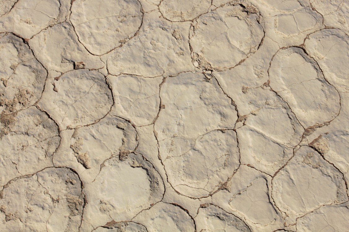
Around 50 to 60 million years ago, during the Paleocene Epoch, Antrim was subject to intense volcanic activity, when highly fluid molten basalt intruded through chalk beds to form an extensive lava plateau. As the lava cooled, contraction occurred. (The example below is a pic I took in Namibias Deadvlei).
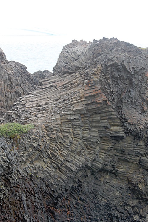
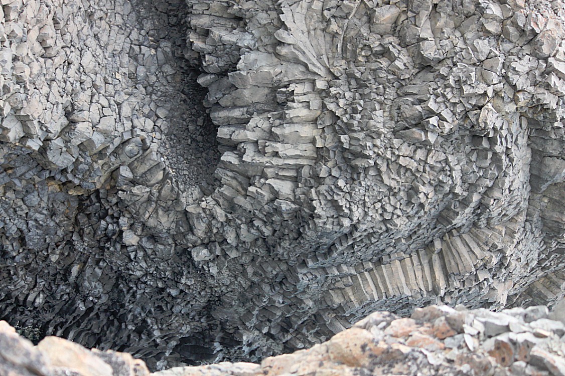
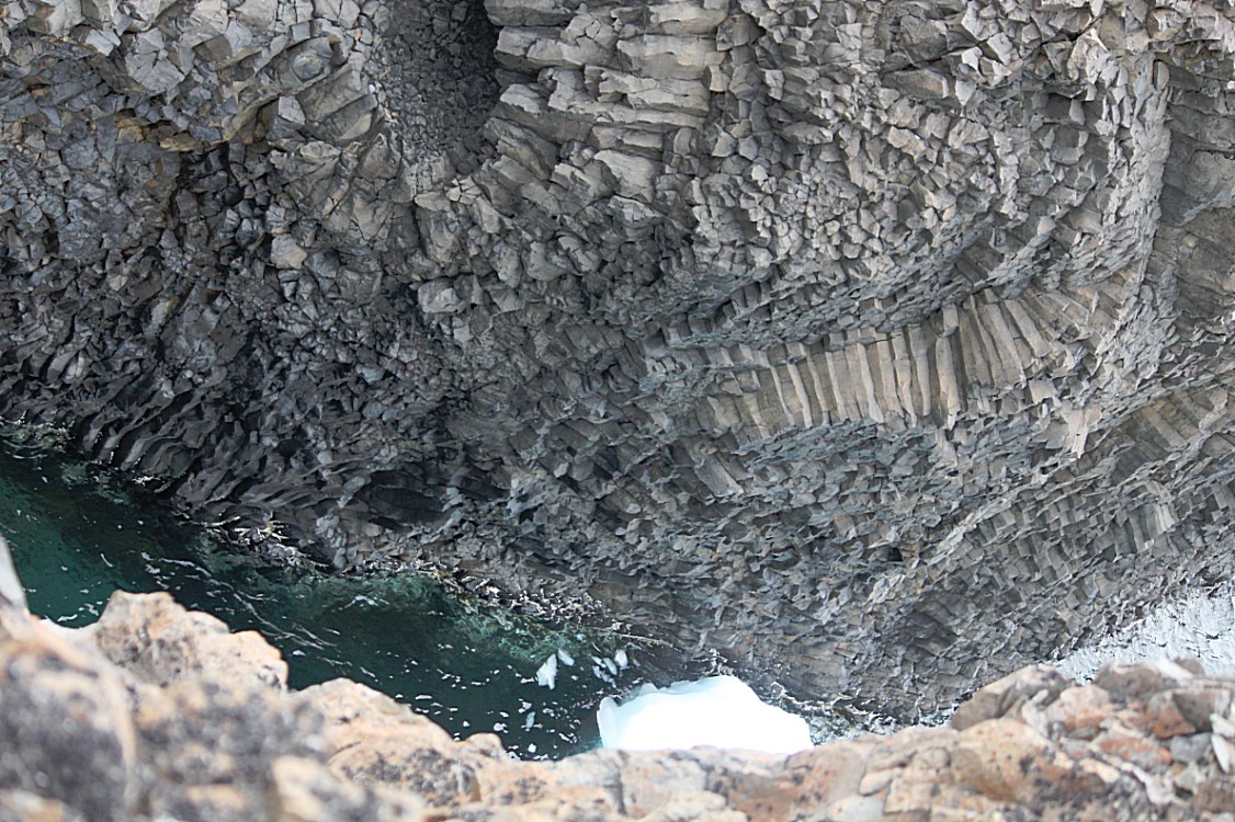
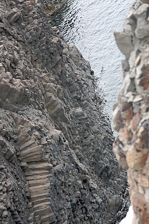
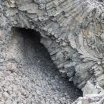
Horizontal contraction fractured in a similar way to drying mud, with the cracks propagating down as the mass cooled, leaving pillarlike structures, which are also fractured horizontally into “biscuits”.

In many cases the horizontal fracture has resulted in a bottom face that is convex while the upper face of the lower segment is concave, producing what are called “ball and socket” joints. The size of the columns is primarily determined by the speed at which lava from a volcanic eruption cools. The extensive fracture network produced the distinctive columns seen today.

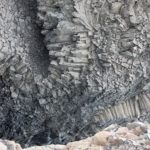
Origin of Kuanit’s strange rock formations
Although the basaltic columns of the Giant’s Causeway are impressive, they are not unique. Basalt columns are a common volcanic feature, and they occur on many scales (because faster cooling produces smaller columns). This fast cooling is what happened at Kuanit…
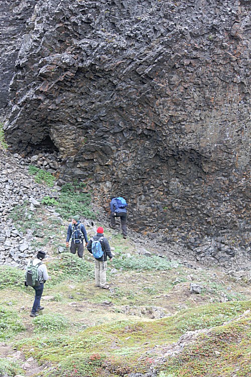
I can’t speak for the others, but judging from the silence that surrounded me, everyone had stopped uttering words and felt as dwarved by these huge rocks as I did. I started believing that some of the tales about gnomes, fairies and pixies might be true. This was such an otherworldly environment that I could actually imagine meeting a screaming banshee around the next rock.
From here we started to walk back towards the village of Qeqertarsuaq. But it had just been noon and the sun was slowly penetrating the mist warming the earth. Therefore The Wandelgek decided to try another trail and keep walking in the afternoon. A Danish couple on the group was planning the same and we decided to join.
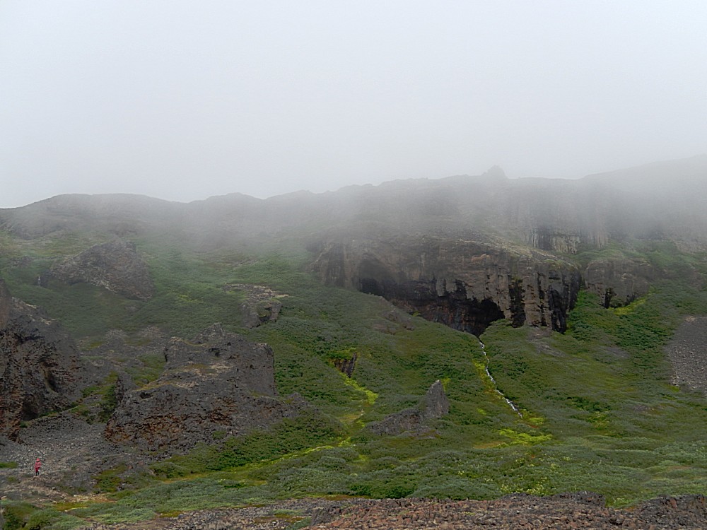
The rest of the group returned to Qeqertarsuaq and we decided to ask our guide whether he could recommend a nice trail for a long afternoon walk. He adviced not to walk all the way to Qeqertarsuaq but to separate halfway and walk into the awesome Blaesedalen (Vale of the Wind) and follow the red trail. We did, but more of that in my next Greenland blogpost.

