29. Hike to the moraine ridge near Eqip Sermia
Today was again a full hiking day. After an early breakfast at Café Victor, we started on our half day (4 hours) hike to the Eqip Sermia Glacier at about 8.30.
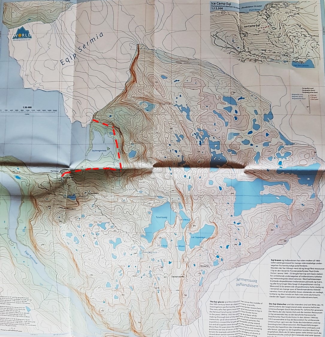
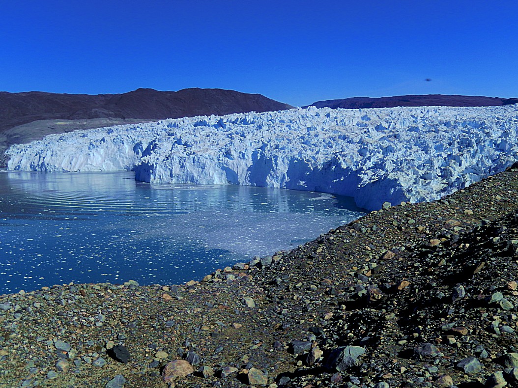
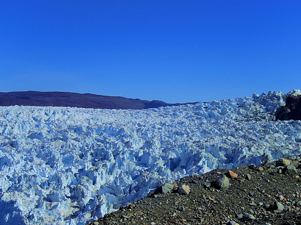
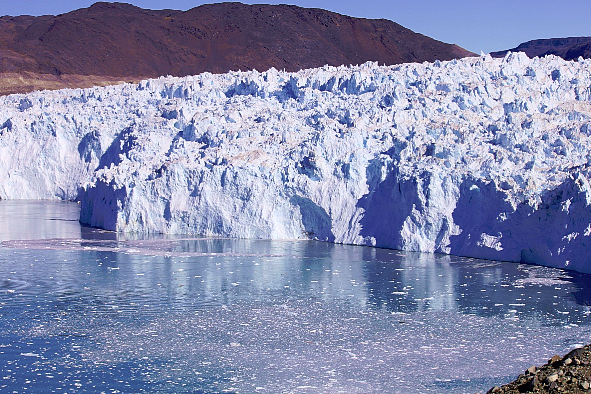
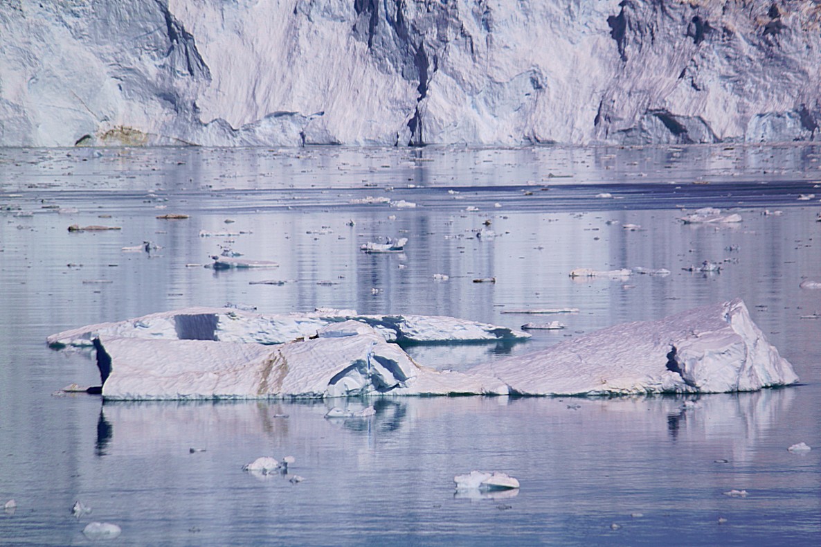
This hike was going around the lagoon to get to the vantage point where we could enjoy beautiful views of the Equi glacier’s craggy crevasses and impressive magnificence…
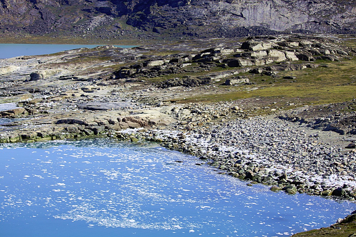
Many years it was also possible to do a shortcut towards the glacier via a long peninsula which seperates the lagoon Tasinnngortaaq (yes it has 3 n’s in it) from the water where the glacier edge was located. But because of this glacier calving ice in giant quantities every 10 to 20 minutes, it was considered too dangerous to take this shortcut. After every calving, large waves roll into the open water and these waves roll over the low and relatively flat peninsula. Walkers are flushed away by these strong waves. These waves were able to crush boats delivering travellers against the rocky shores at Port Victor. One of our guides at Café Victor told me that a few years ago two Chinese tourists had taken the shortcut and they got flushed away into the ice cold water of the lagoon. Luckily they did survive. So now it was forbidden to take this shortcut and I was not sorry because the longer route around the lagoon was really worth the walk.
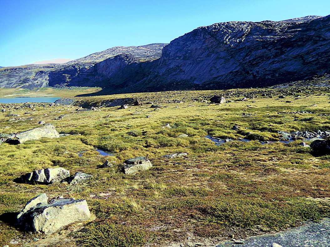
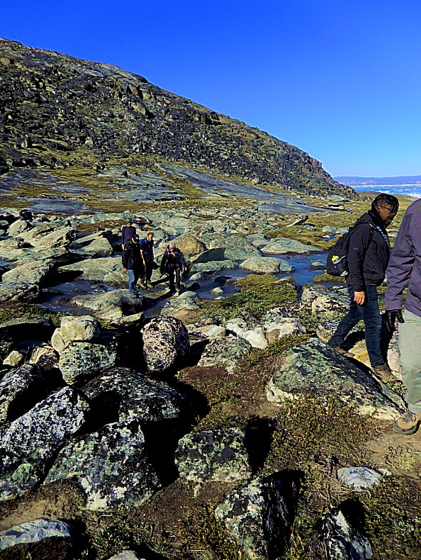
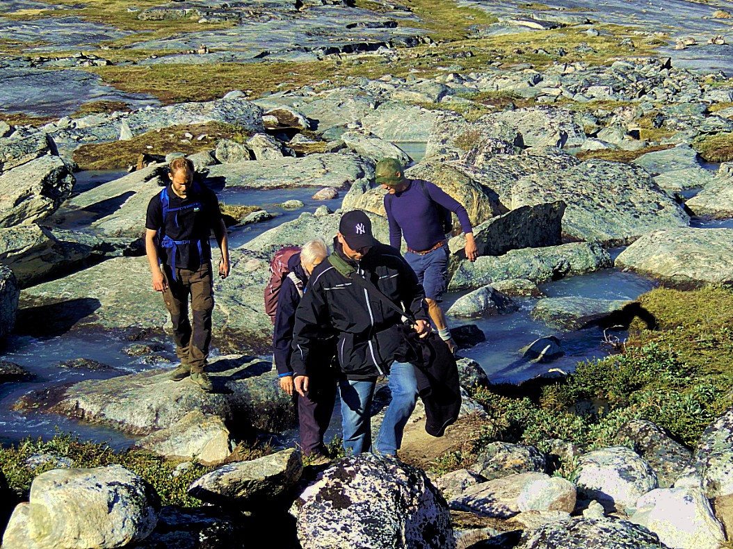
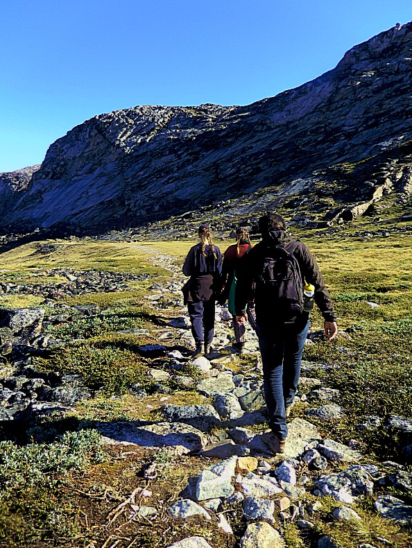
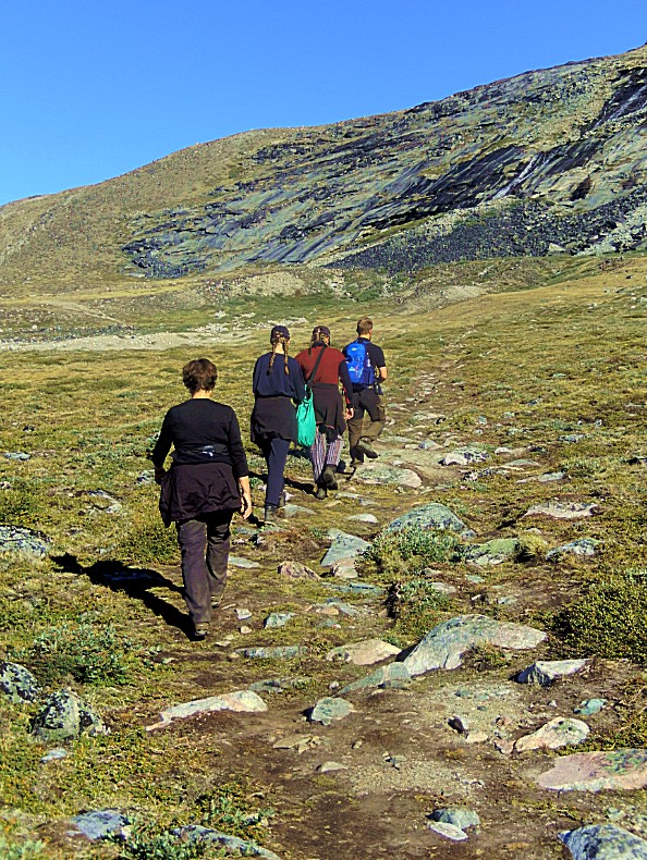
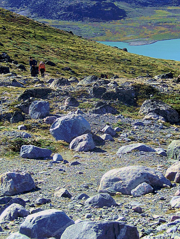
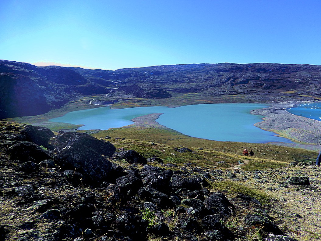
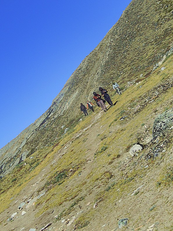
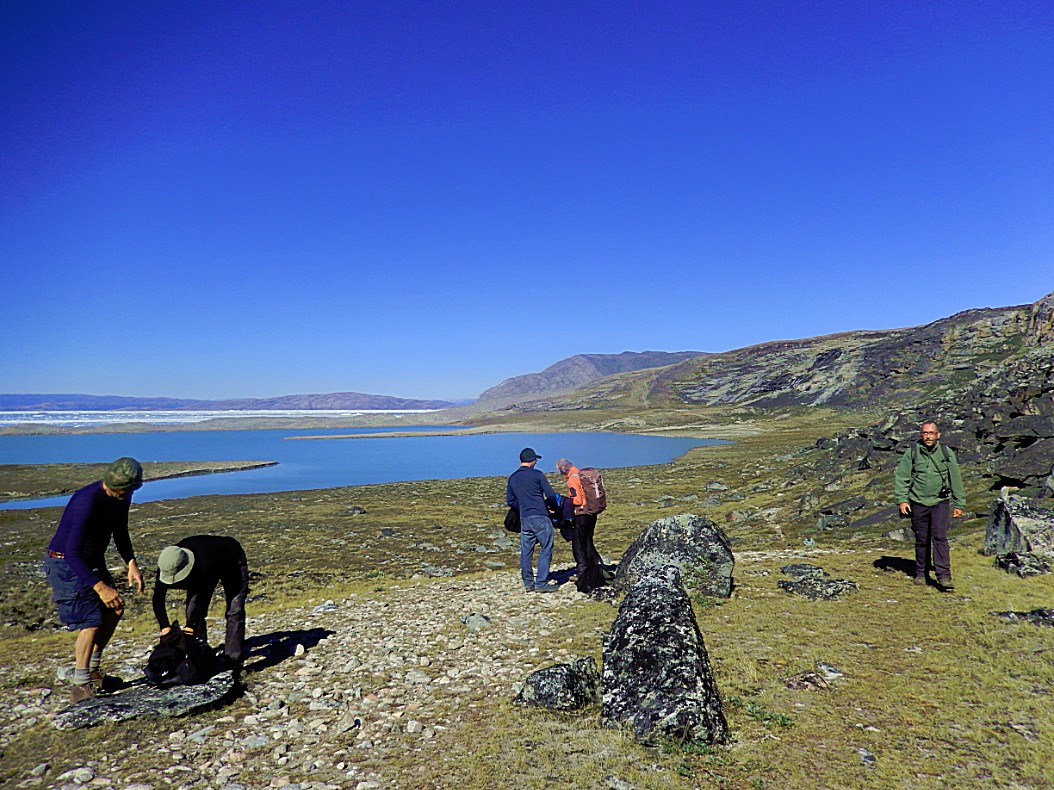
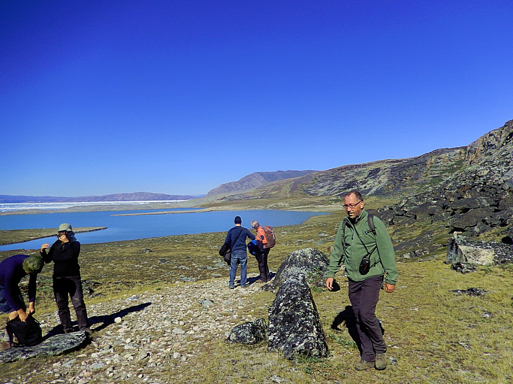
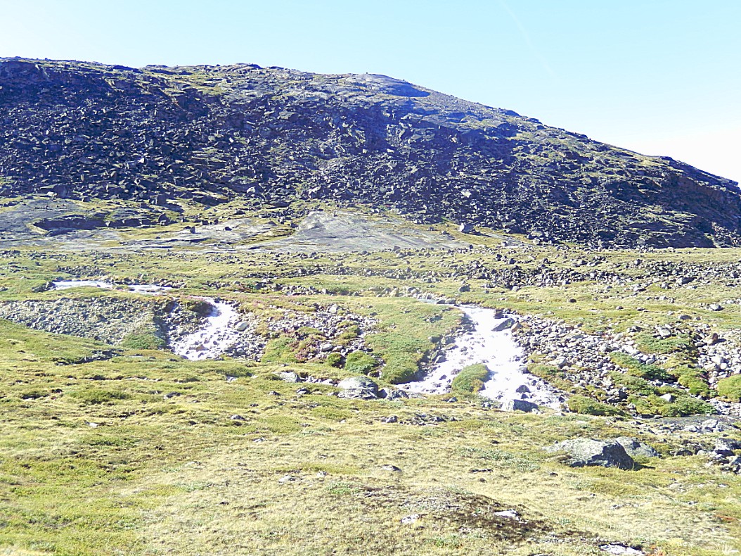
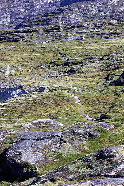
The 1st stretch was a steep climb through a rocky area and then it went down to a green large tundra like area and some small mountain rivers had to be crossed.
Hopping from stone to stone to cross the little rivers (in the background the steep area behind which we had crossed)…
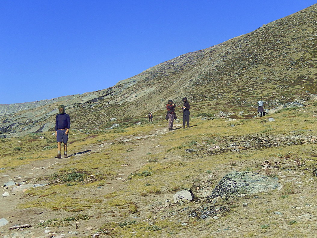
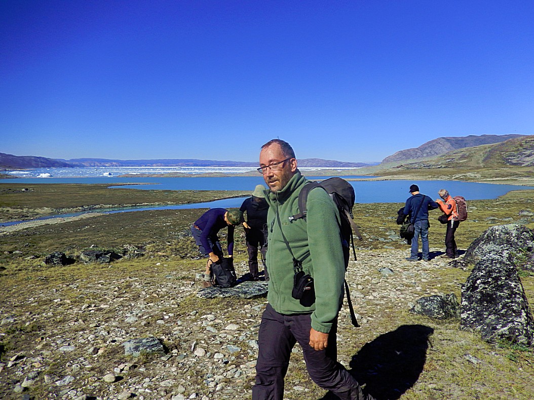
Next we walked around a large lagoon through low green vegetation and some arctic flowers. In this low area, lots of mosquitos and black flies tried to eat us. My mosquito net was again a necessity and it helped to survive…
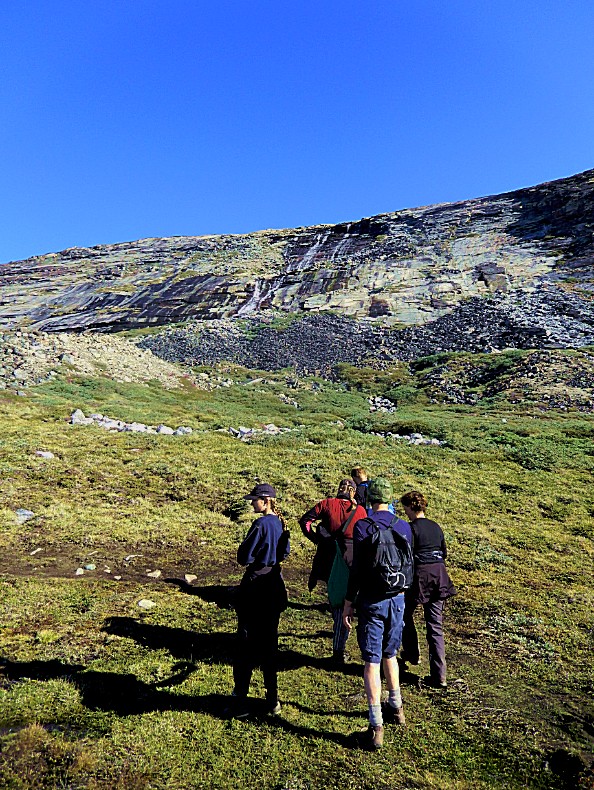
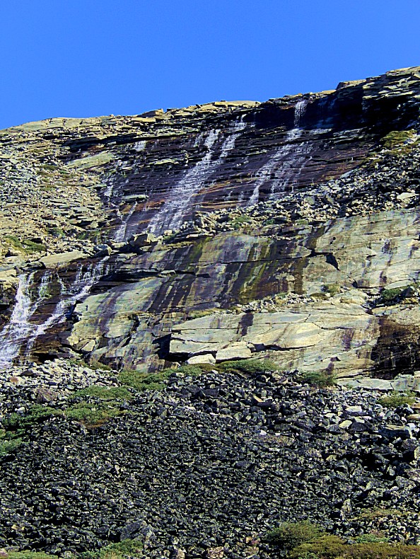
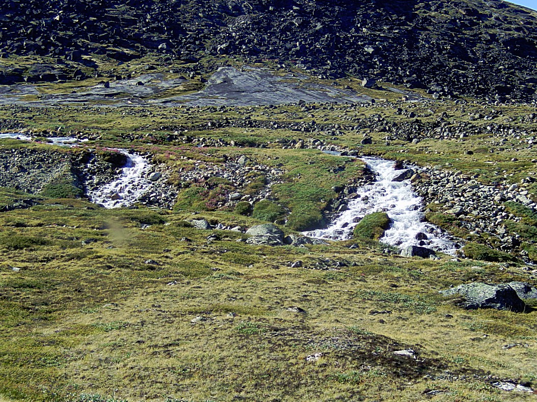
We got close to a waterfall…
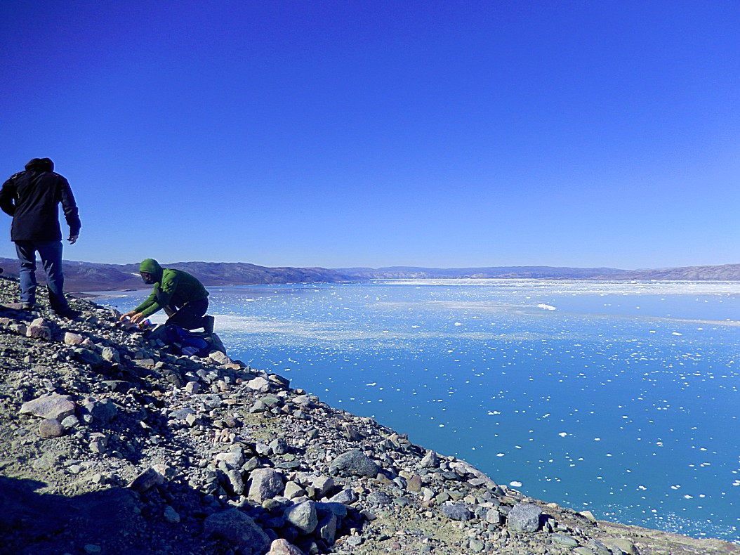
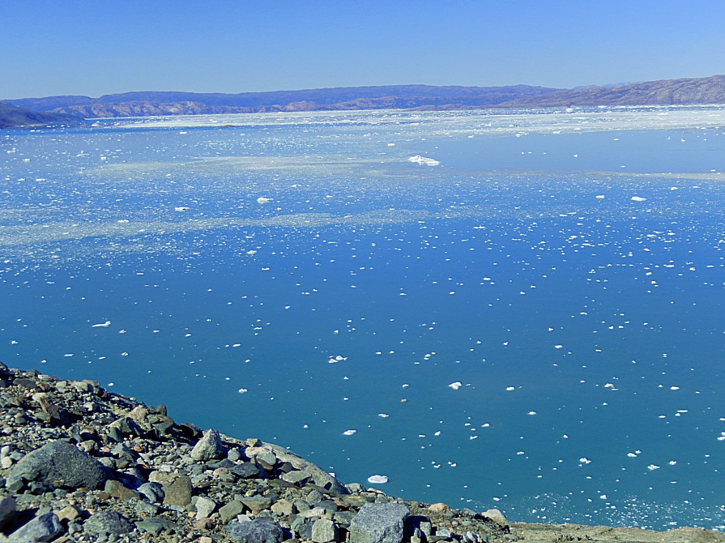
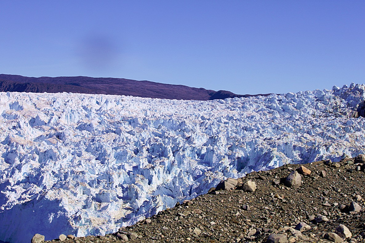
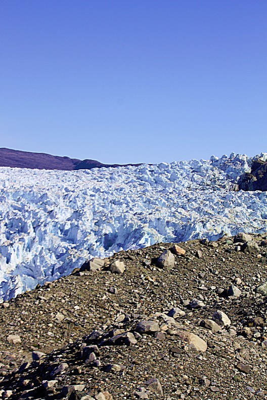
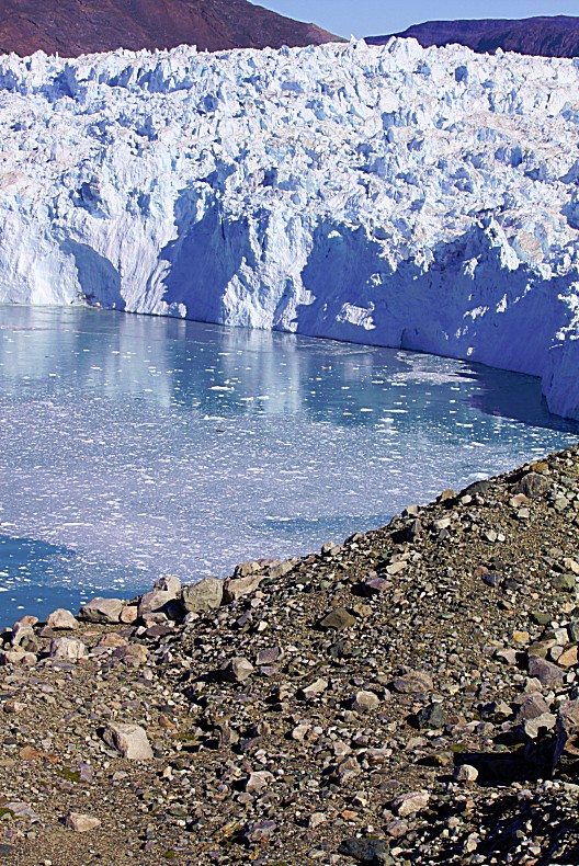
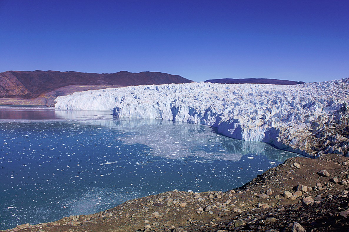
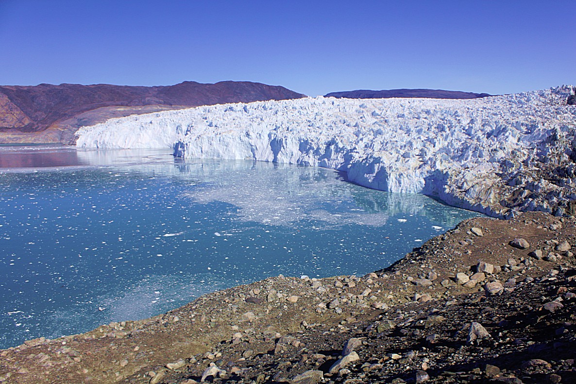
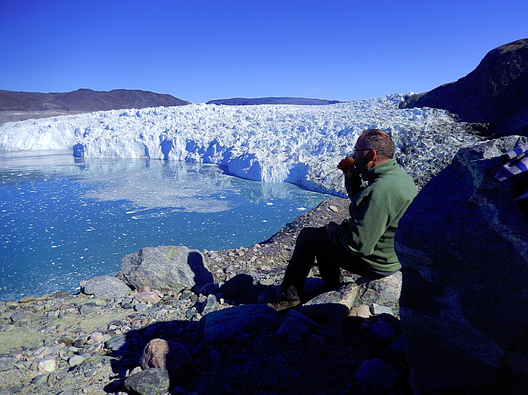
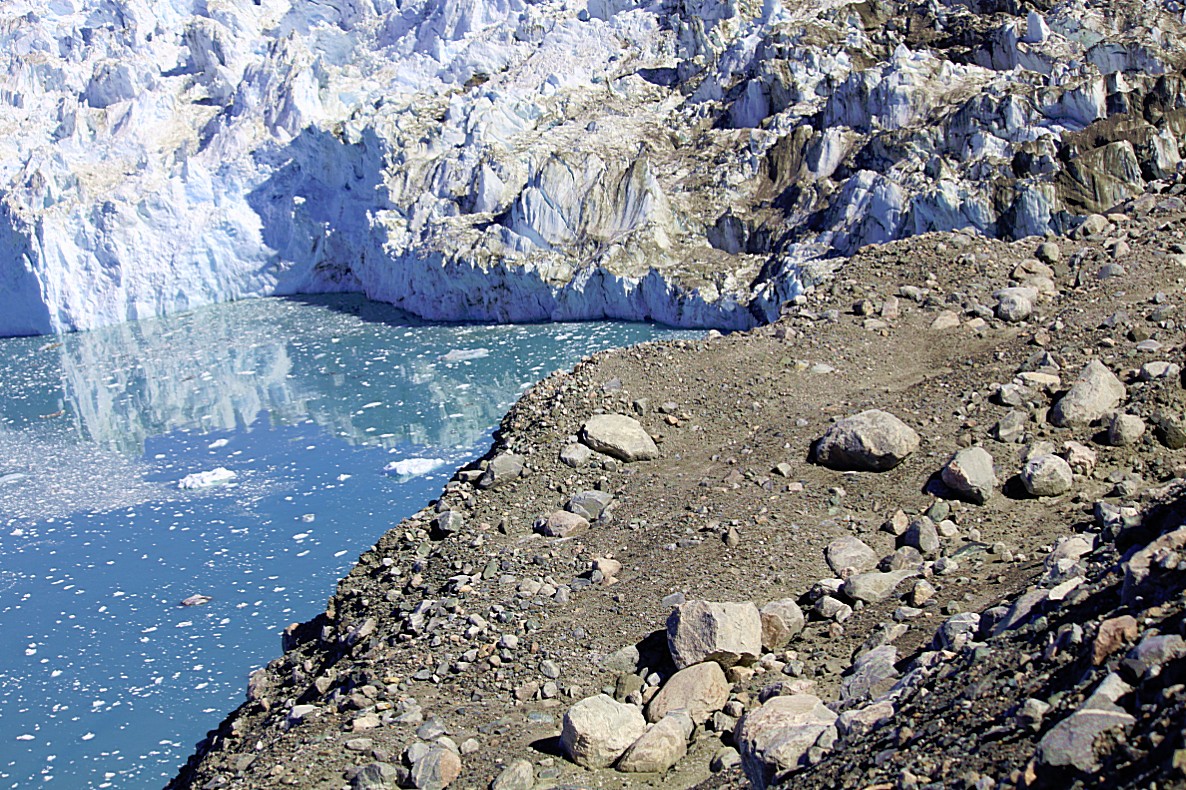
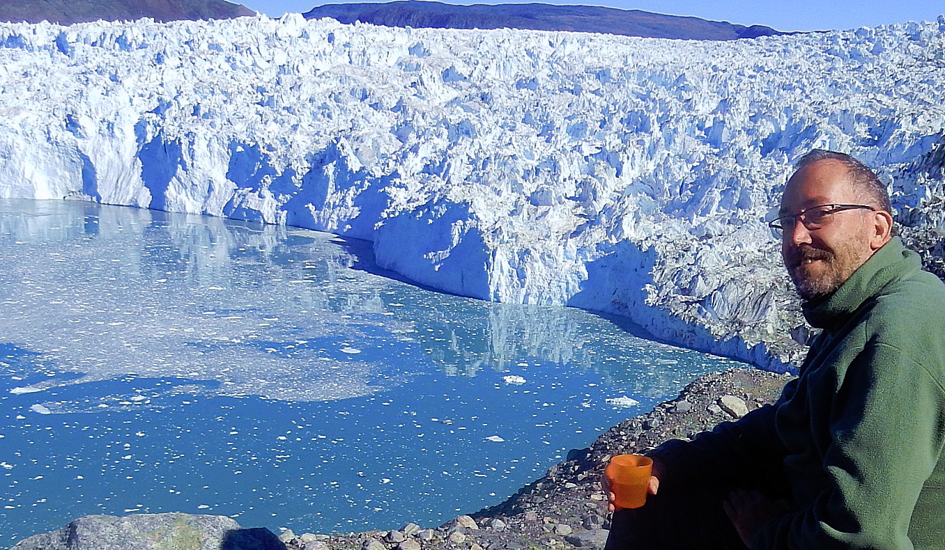
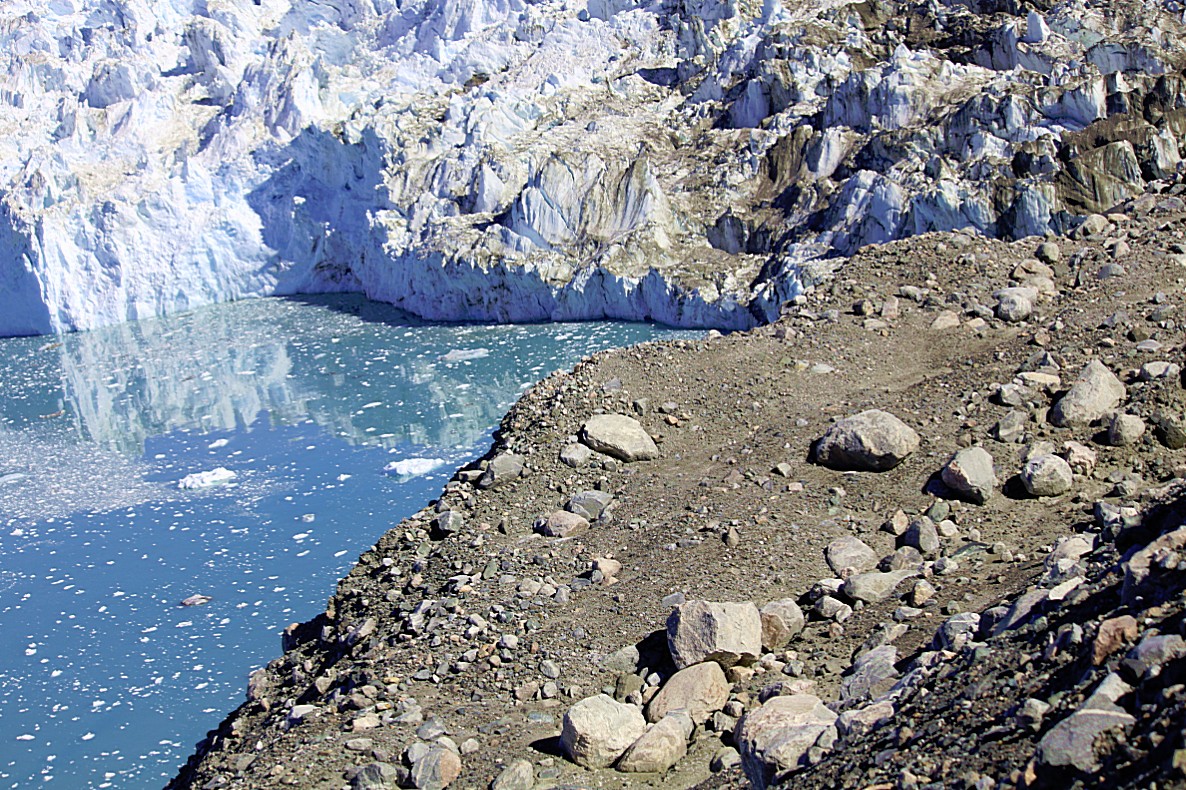
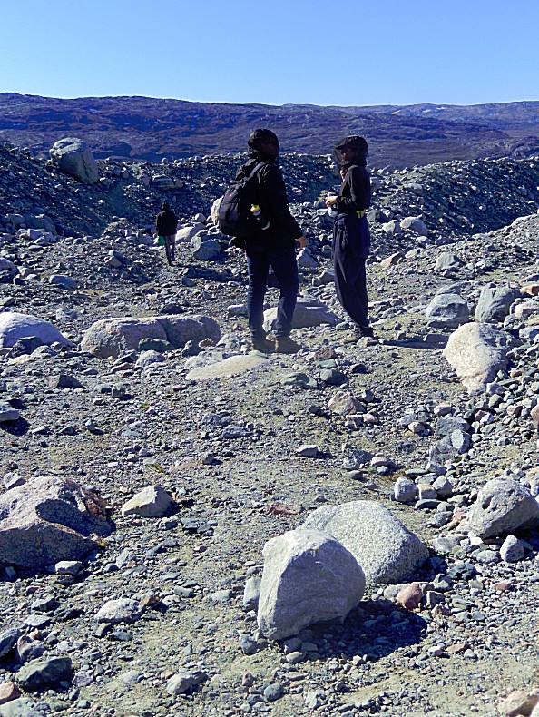
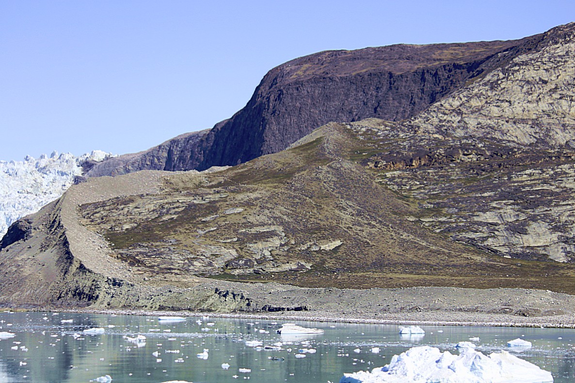
After another river crossing, we reached the moraine area bordering the glacier. This pretty high heap of moraine rubble had to be climbed before we could walk over its top ridge to get to the other side where we could enjoy the awesome panoramic view over the glacier and its edge.
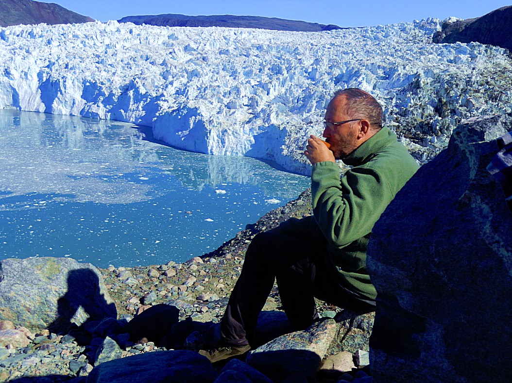
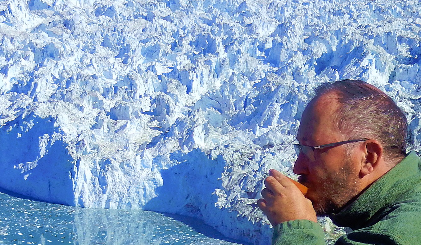
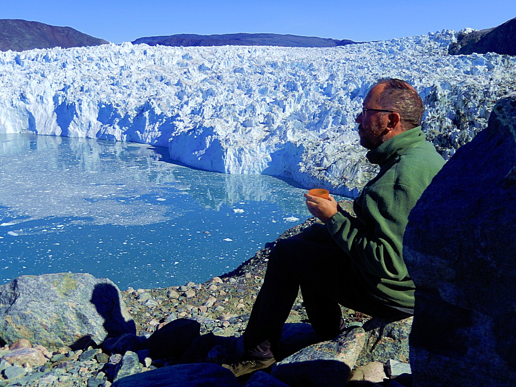
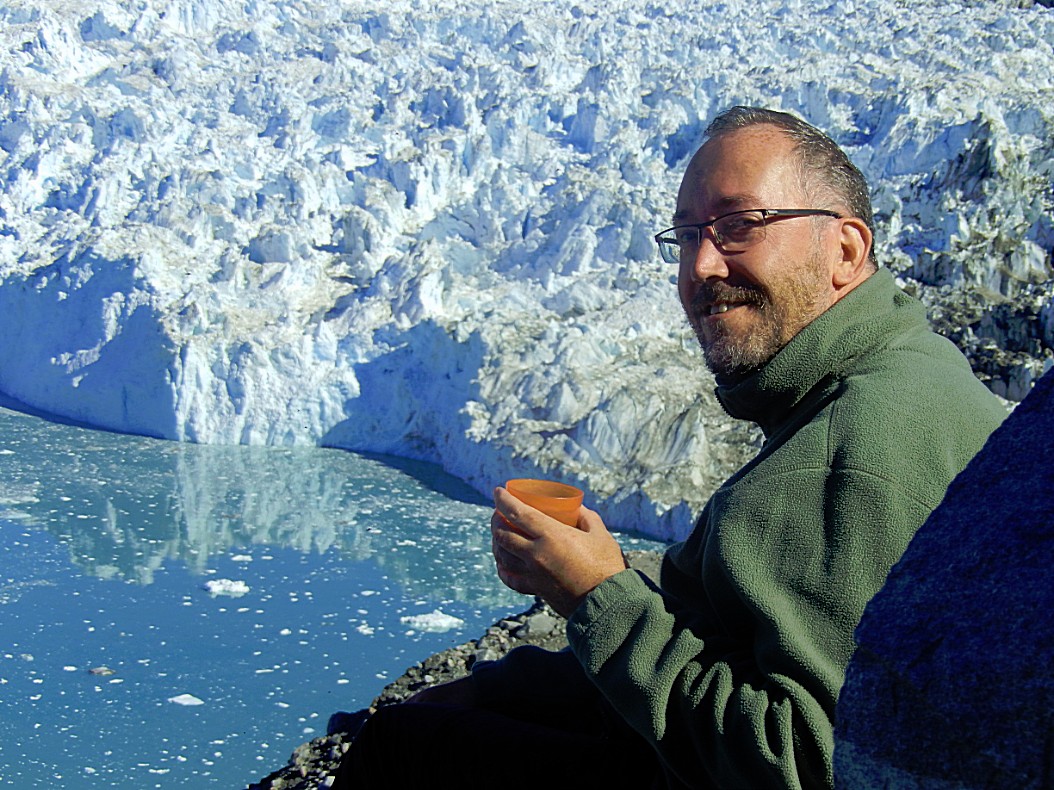
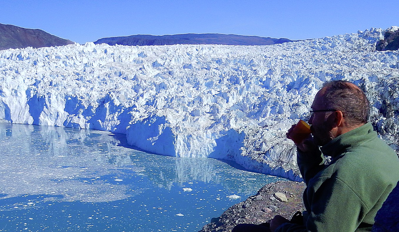
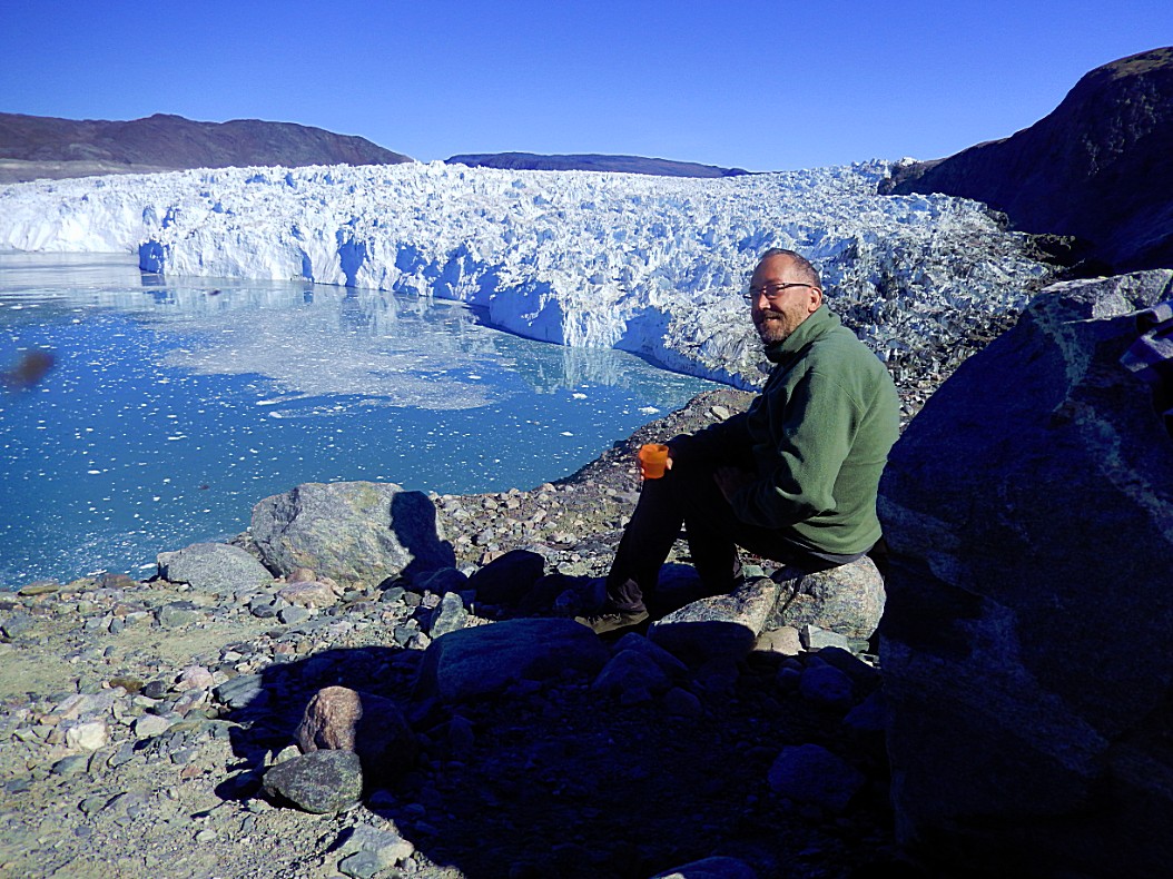
Our guide had brought some bottles of water and on route he had picked some leaves which he had added to the hot water so now we had a Greenlandic tea.
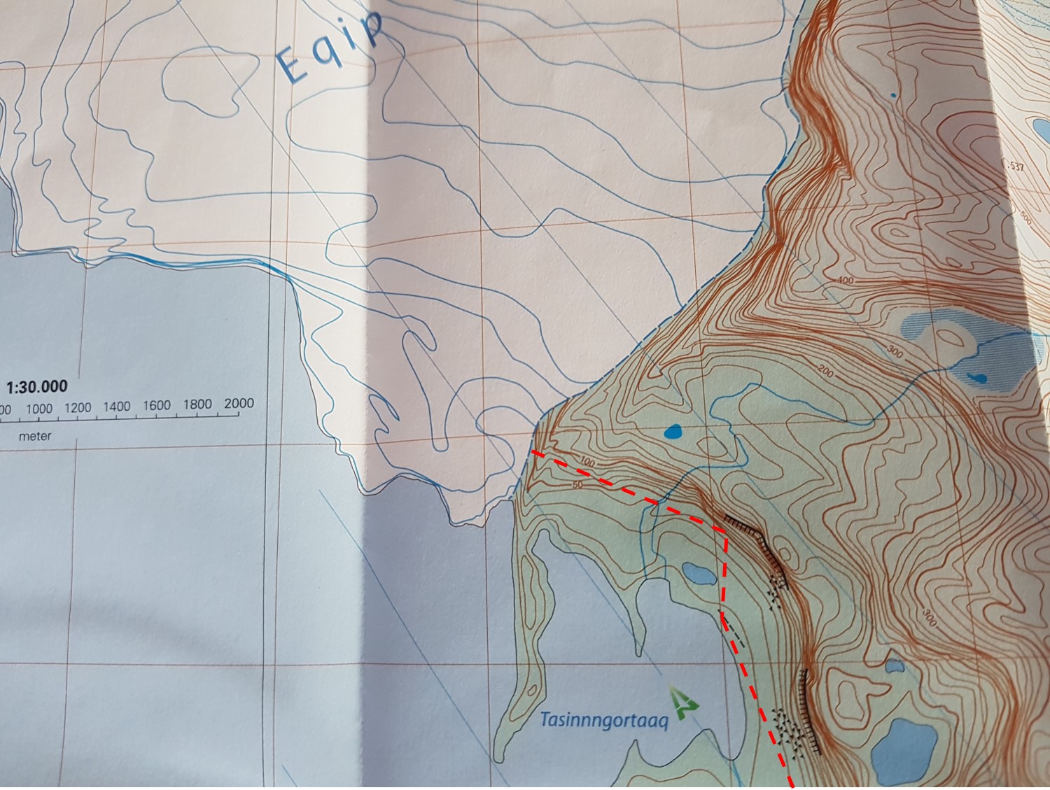
After a while I took my hiking map and then a shock went through me when I realized the glacier wasn’t where it was supposed to be.
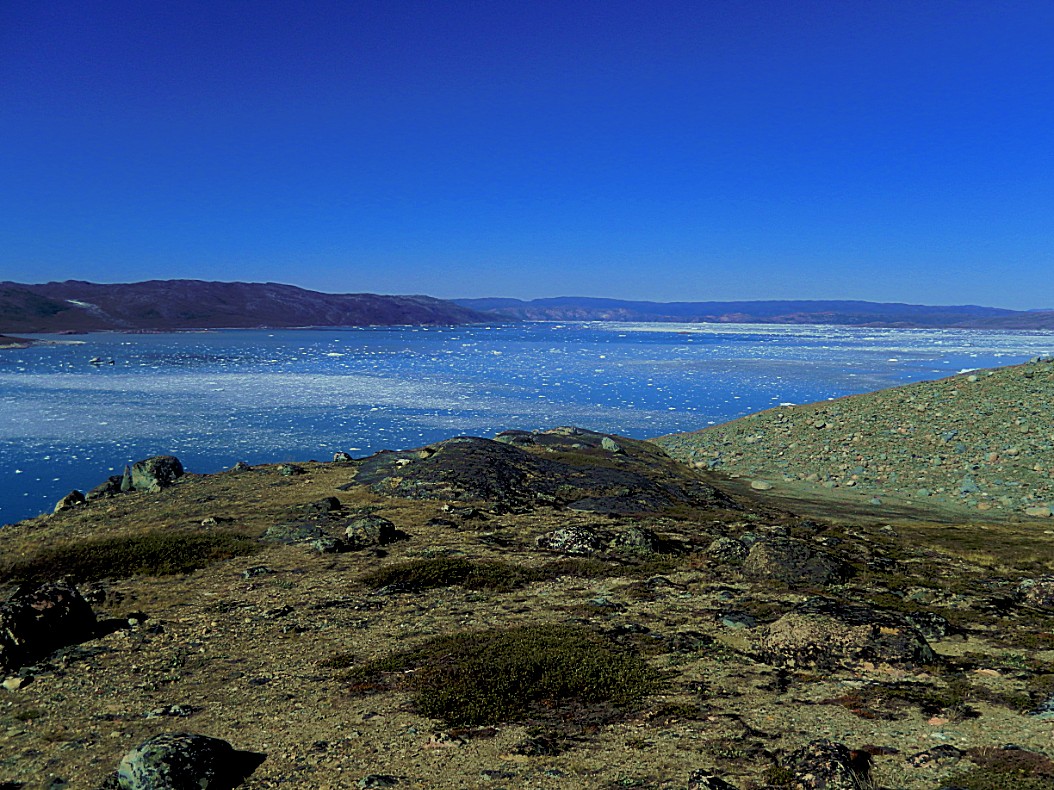
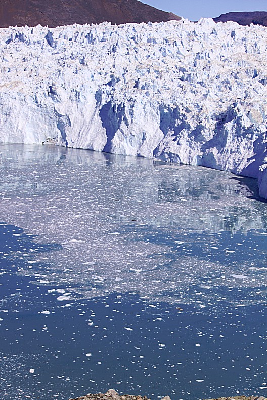
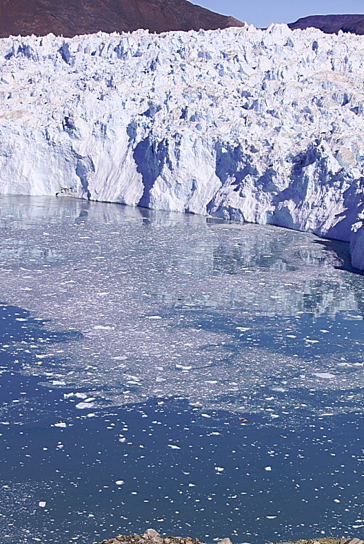
The map was published in 2009 and the glaciers edge should have been directly beneath the point where we were enjoying tea, but instead it was quite some distance away and instead of floating on the water it had started to retreat upon the land. This really was quite shocking to see a map of 8 years earlier and the enormous effect that global heating apparently had had on this giant glacier.
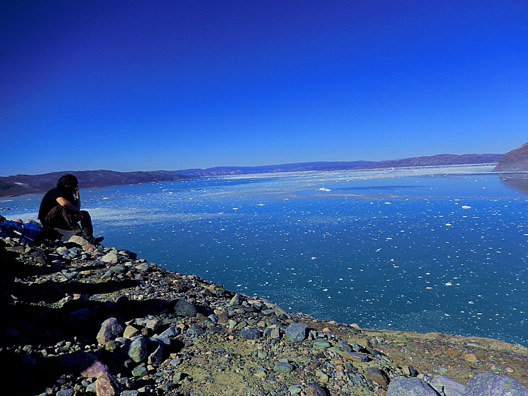
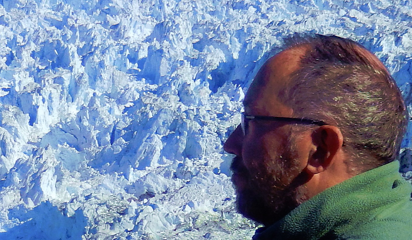
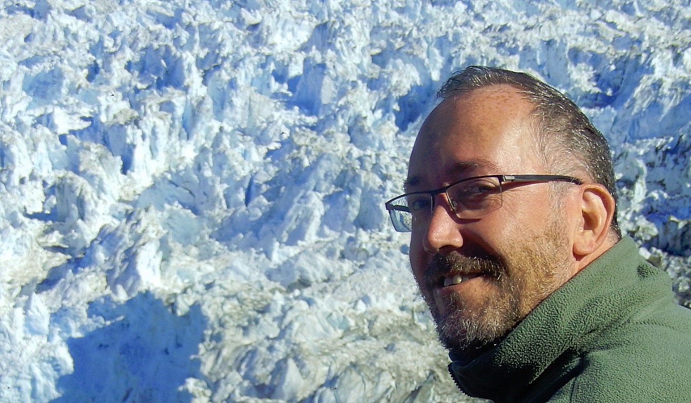
The view was truly otherwordly and everyone was silent, sipping tea…
Actually the glaciers of Greenland are melting quite quickly. A glacier on land will melt even quicker at its edge because sea ice can’t reach its edge anymore. Water or land are darker and warmer (absobing more heat) than white sea ice which means that the glacier will melt quicker.
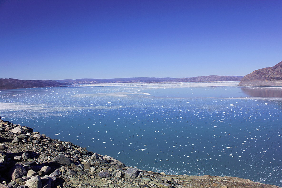
What shocked me was that looking at the above 2009 map, I should have been at a view point right above the glacier which was floating on the water. But in fact I was at a view point above the water and the glacier was much more north and retreating upon the land. In 2009 it would not have been possible to look at the glacier front from this view point, but now it was…
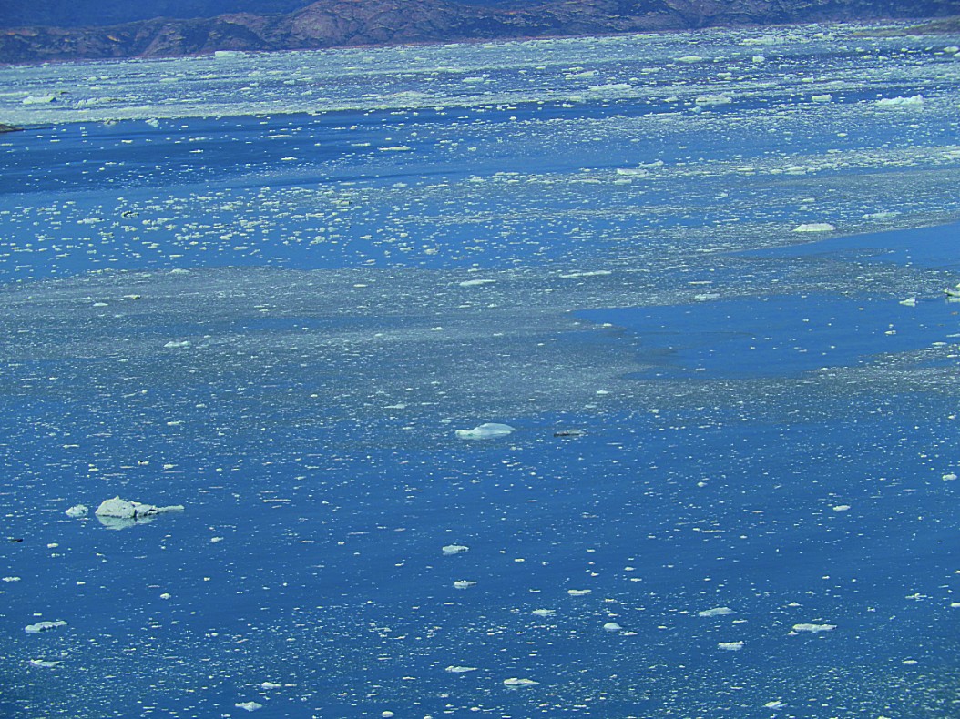
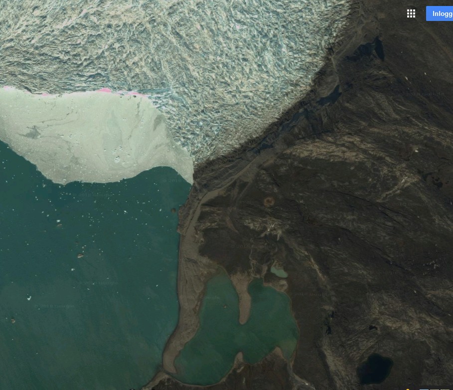 Compare the map with this recent (2019) satelite image and the dramatic retreat of the glacier is obvious. The white quite smooth area in the pic is not the glacier, but ice fallen from the glsacier, floating. The rugged, dirty white area north is the actual glacier.
Everything is connected. The sea ice is white and cold and reflects 85 % of the incoming sunlight back into space. Because of global heating the sea ice melts, leaving the dark ocean. The much darker ocean only reflects 5% of the sun rays back into space, absorbing the other 95%, warming the water, melting more sea ice and eventually also glaciers and thus heating up the earth even more. It’s a circle of effects which is very difficult to break.
If the earth keeps warming up, the glaciers will start to melt faster and flow harder. The glaciers are nothing more than the ice tongues at the edge of the ice cap. If the glaciers melt and flow faster towards sea, the ice behind coming from the icecap will start flowing faster towards the edge too. Eventually the edges of the glaciers like Eqip Sermia and Sermeq Kujalleq will produce more ice and icebergs, moving into sea and then melt slowly. This is land ice which is added in enormous quantities to the sea water, causing a huge worldwide sea water level rise (not only Greenland’s ice cap is melting but also Antarctica)…
After the ice sheet disappears, 1st by retreating from the edges of the land inwards, the tundra beneath gets uncovered and the permafrost disappears too. The gasses of rotten plant material that are now captured in the earth by the permafrost are released and the global warming will accelerate even more…
But for now I was occupied wondering about that huge ice mass right in front of me…
The herbal tea tasted quite good and after having enjoyed watching the glacier for a while it was time to return to the lodge.
So we prepared by putting our mosquitonets over our heads and started to walk down again from the moraine hill towards the lagoon…
We had just descended from that steep hill…
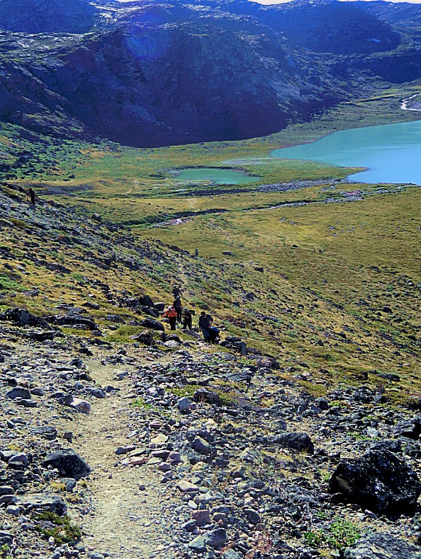
The pic below shows the path up to the moraine area. The moraines being there is already proof of its own that the glacier had once reached to that place…
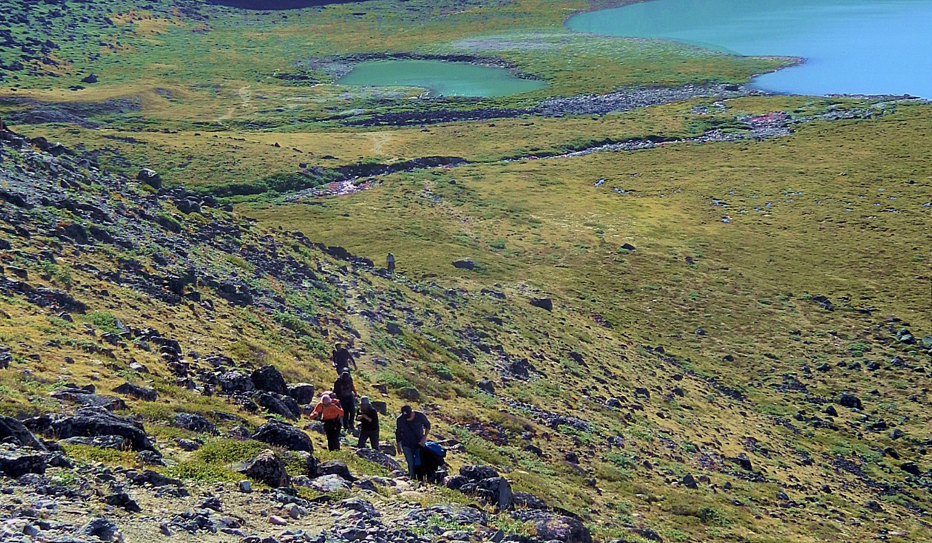
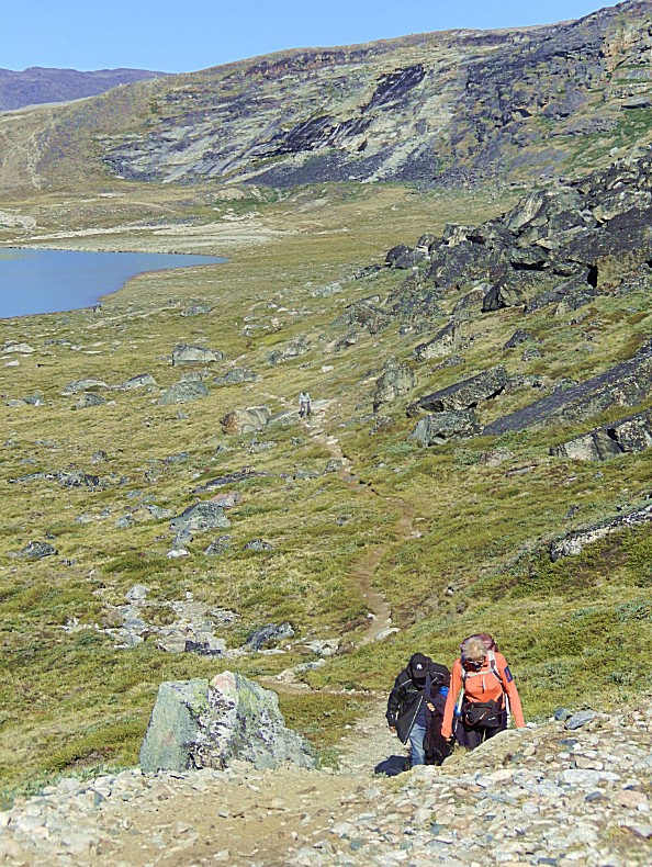
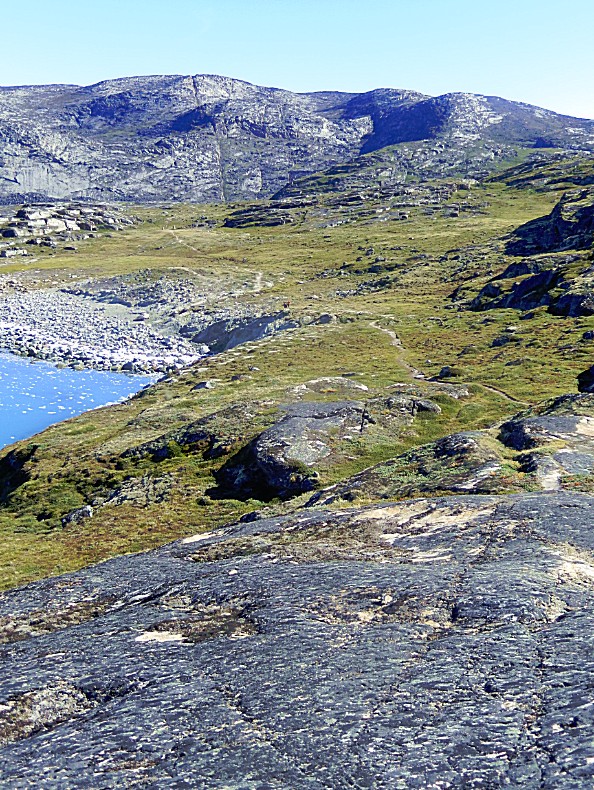
On the pic below we were already way around the lagoon reaching a high spot near the river crossing. The path around the lagoon and up towards the moraine ridge is clearly visible…
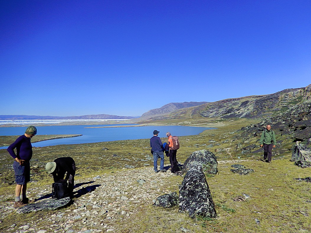
And The Wandelgek reached the high vantage point…
The view from here was breathtaking too…
… then we needed to cross the river again before we had to climb through the steep rocky area behind…
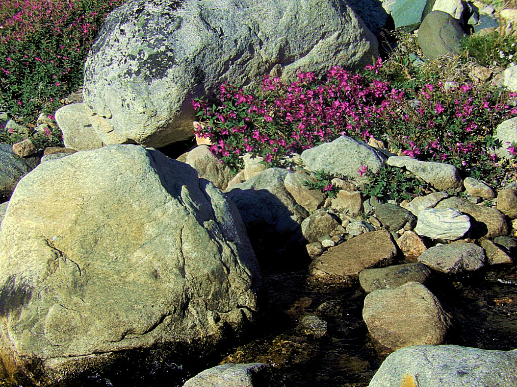
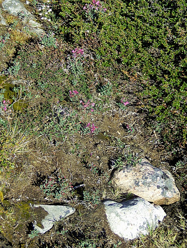
Fragile arctic flowers blossemed during the very short arctic summer…
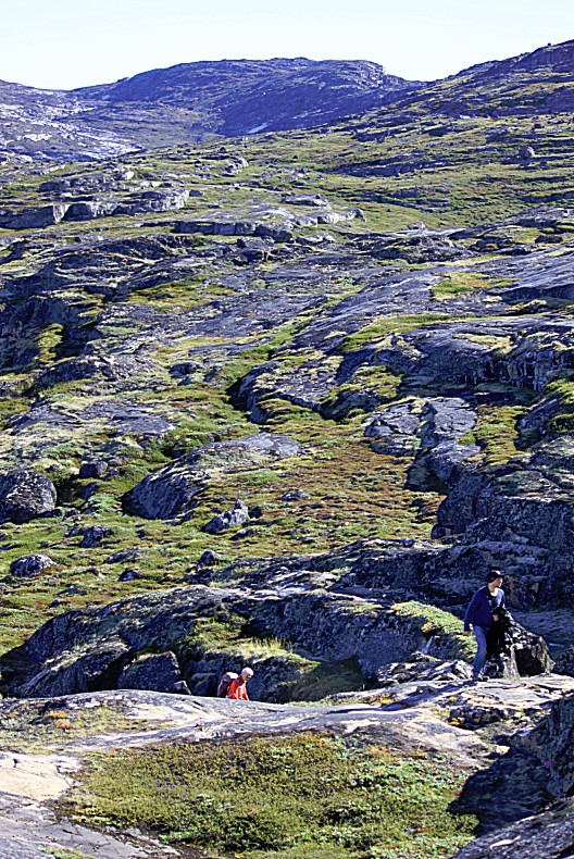
After crossing the river the trail went up again…
Gotta love walking these wild trails. They’re the best walking roads ever!
After the climb the trail stayed on that height for a while…
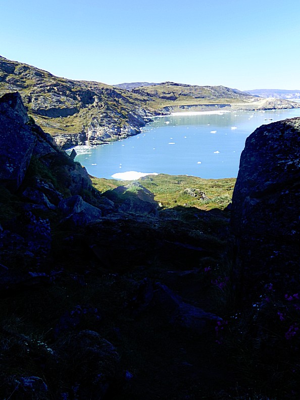
…before it reached a small canyon through somerocks and at the end was a beautiful view over Port Victor…
We had reached the Glacier Lodge Eqi again at around 13.00 o’clock. Just in time for lunch and for some of our groups walkers, to get ready for the boat back to Ilulissat…
 I went for that lunch in Café Victor before I signed in for another late afternoon walk and before that retreated to my cabin to enjoy the view on the glacier and get some rest.

