26. Sailing North…
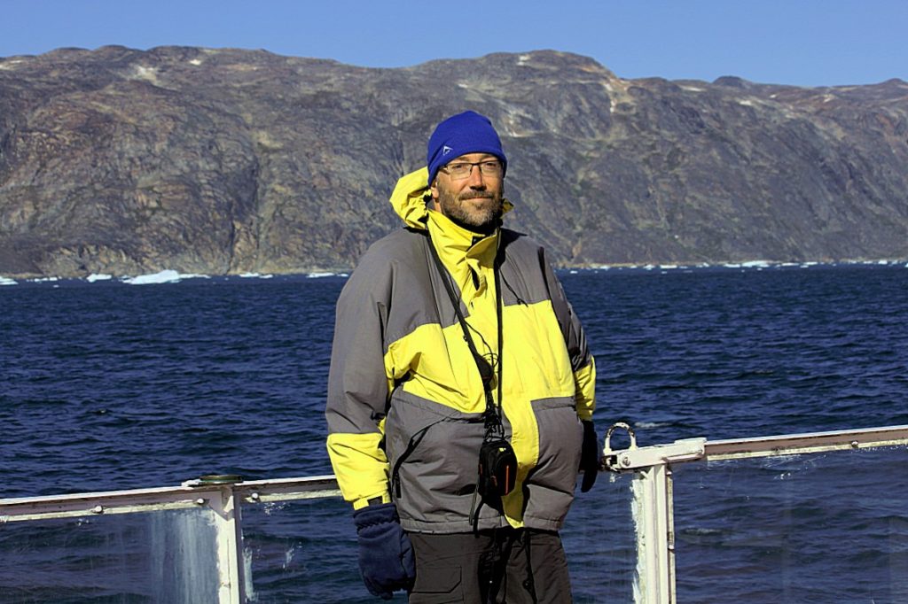
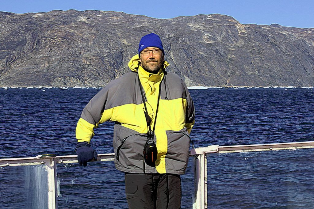
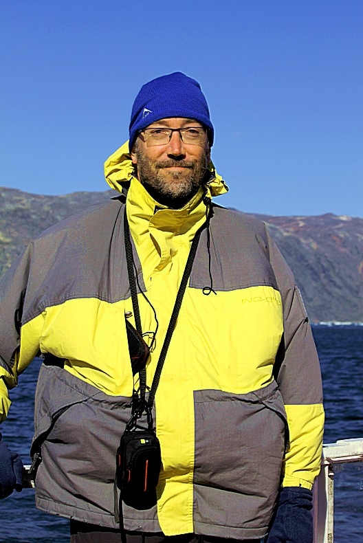
Today The Wandelgek rose early from his bed in Hotel arctic and took a quick shower before joining at the breakfast table.
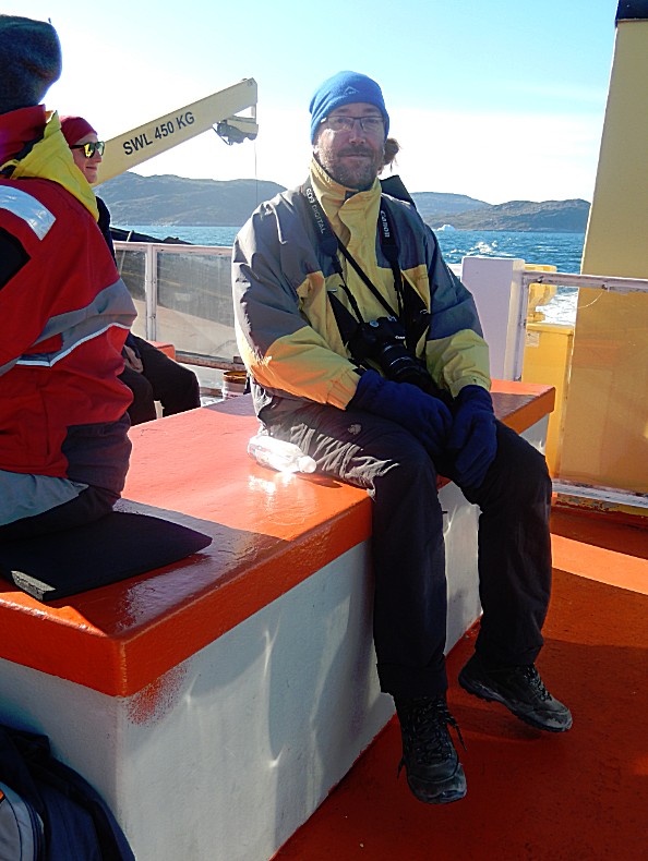
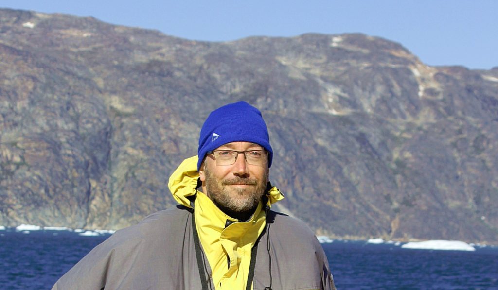
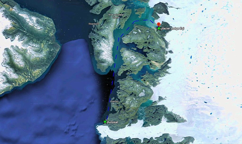
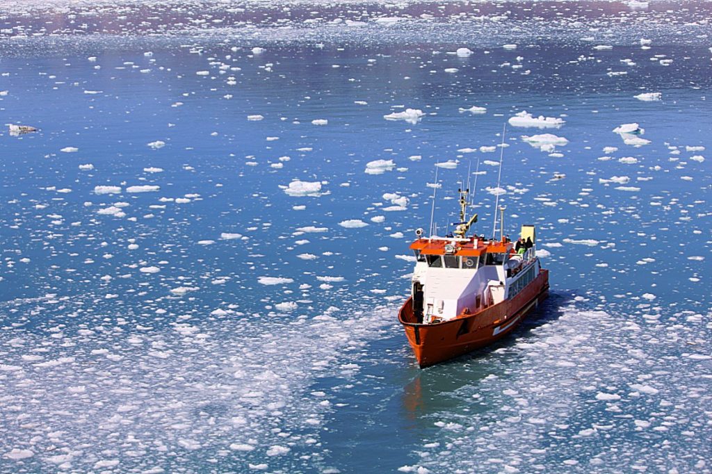
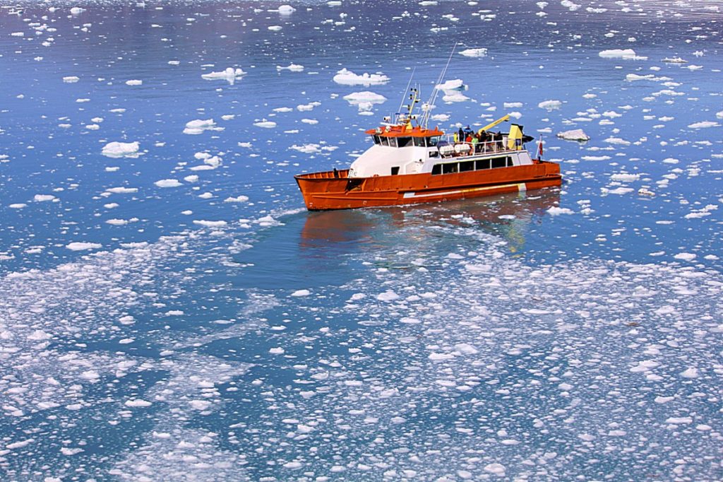
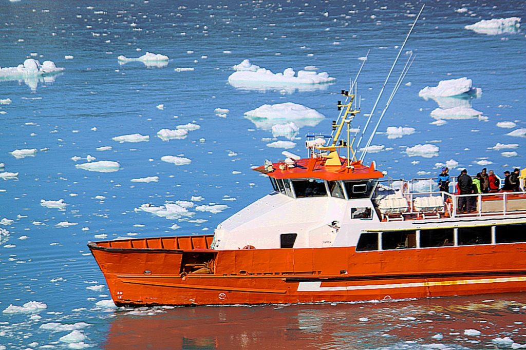
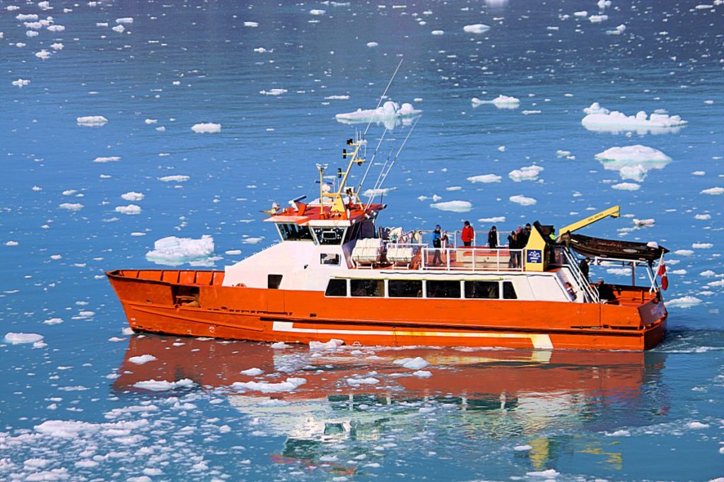
After a great luxurious breakfast with lots of fish and seafruit, The Wandelgek went to his room where he had repacked his stuff divided over the large backpack and the smaller daypack. Only the last one would go with him, on an adventure to the north of Disco Bay. The spare luggage could be left in the luggage room of the hotel where The Wandelgek would return. Then we were picked up by a small bus and transported to the Ilulissat harbour, where The Wandelgek boarded a beautiful red/orange expedition ship.
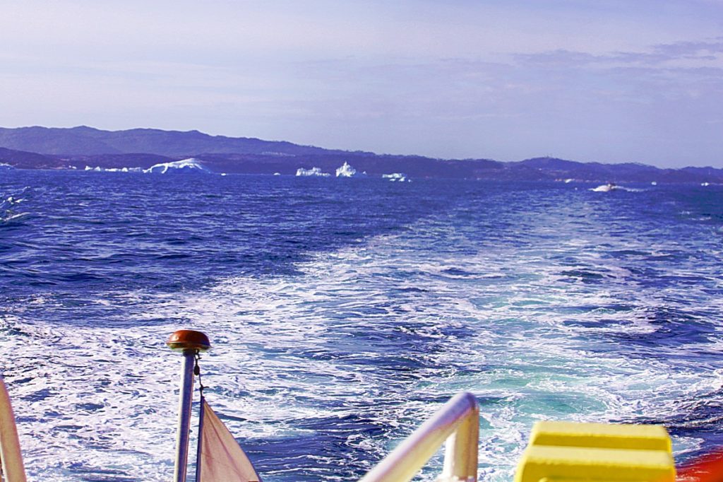
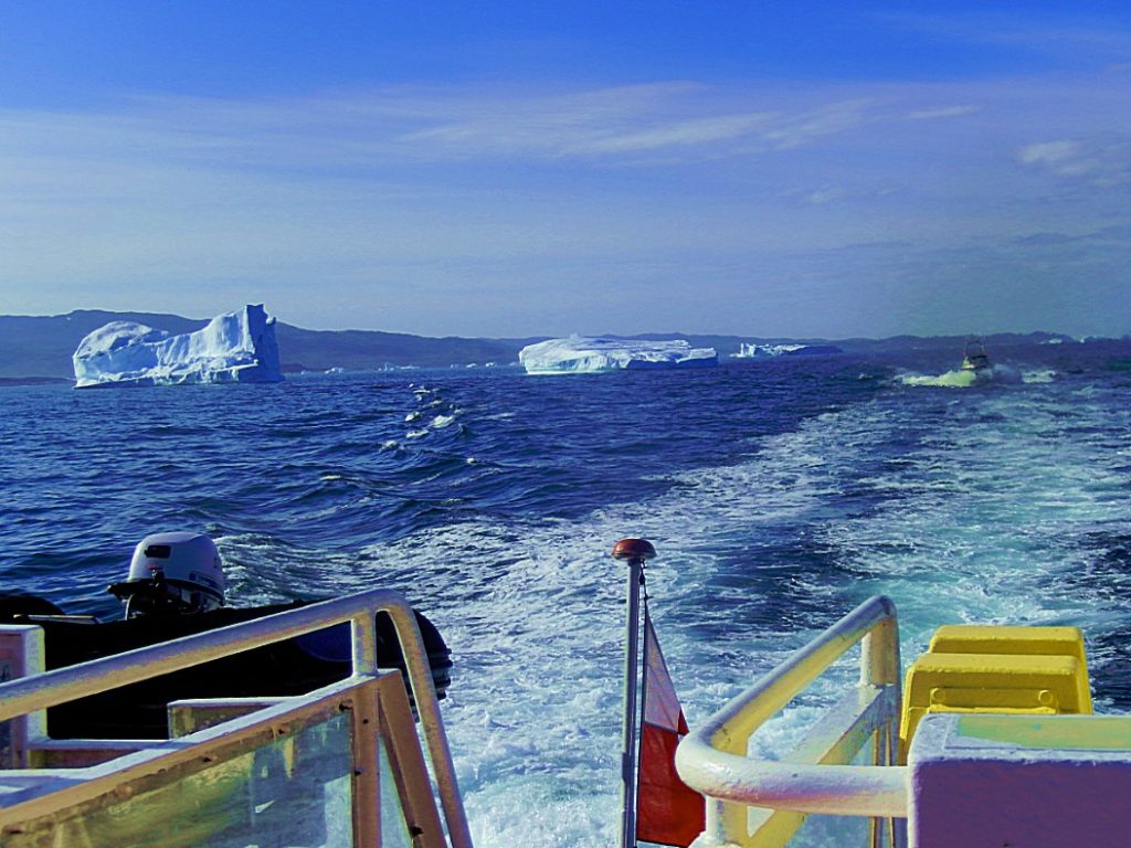
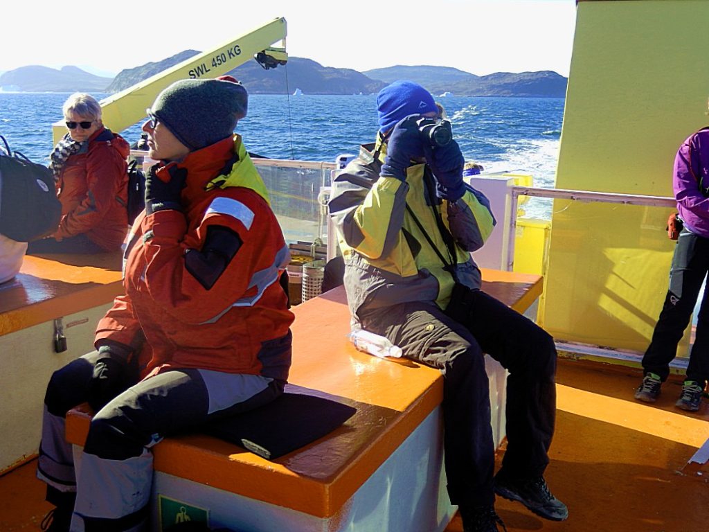
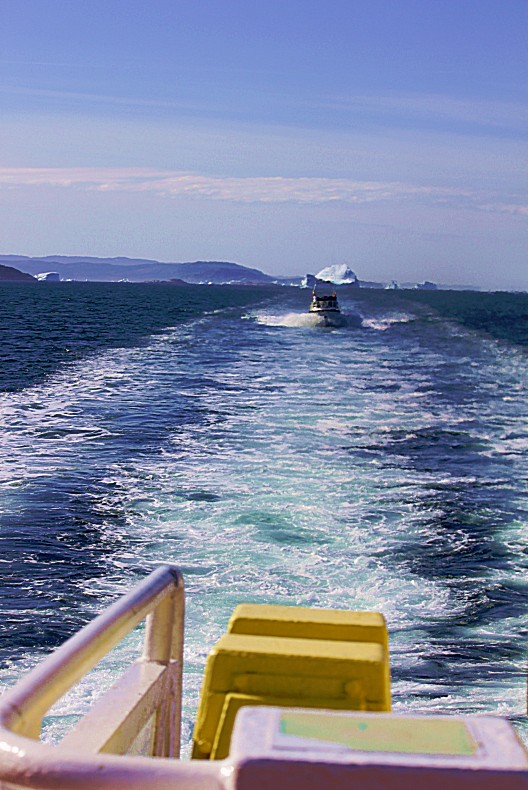
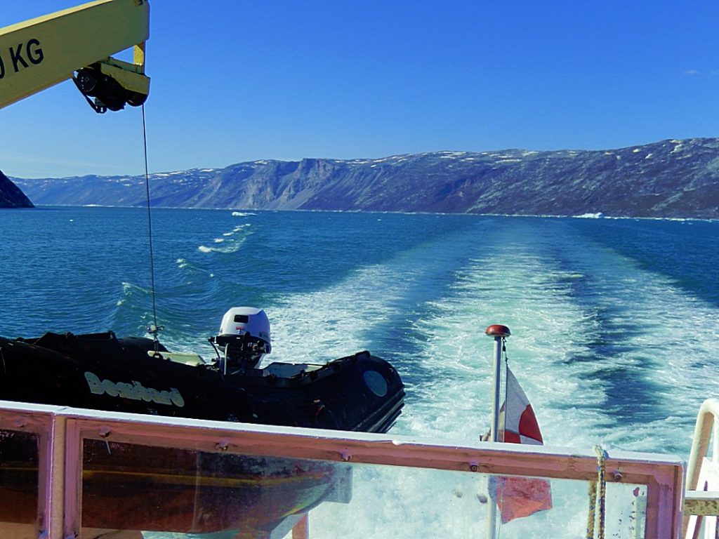
After a briefing on safety procedures on board, we left the harbour of Ilulissat and set sail north…
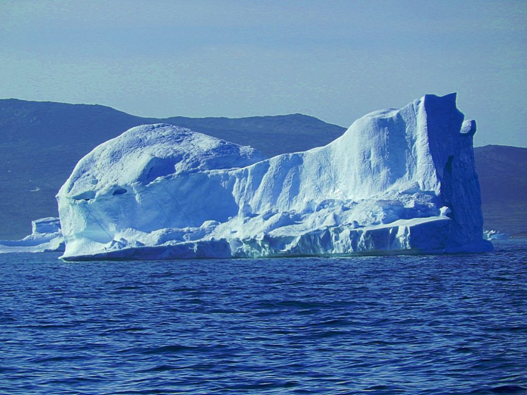
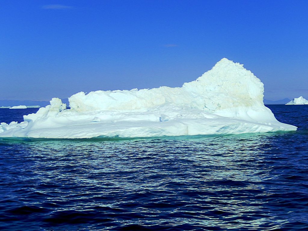
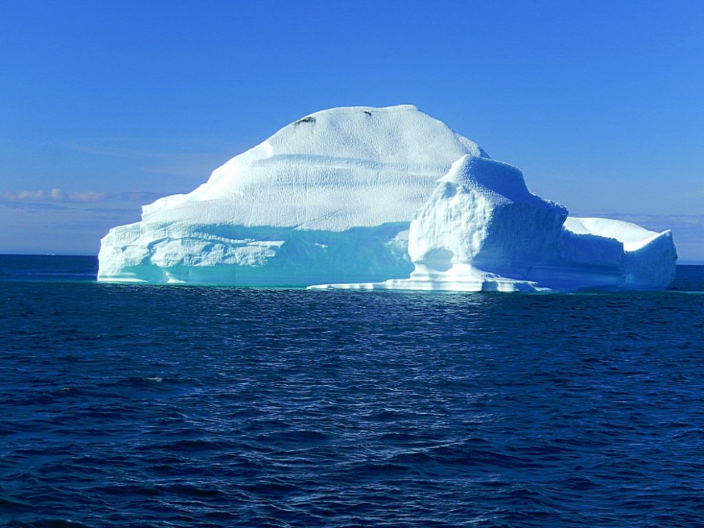
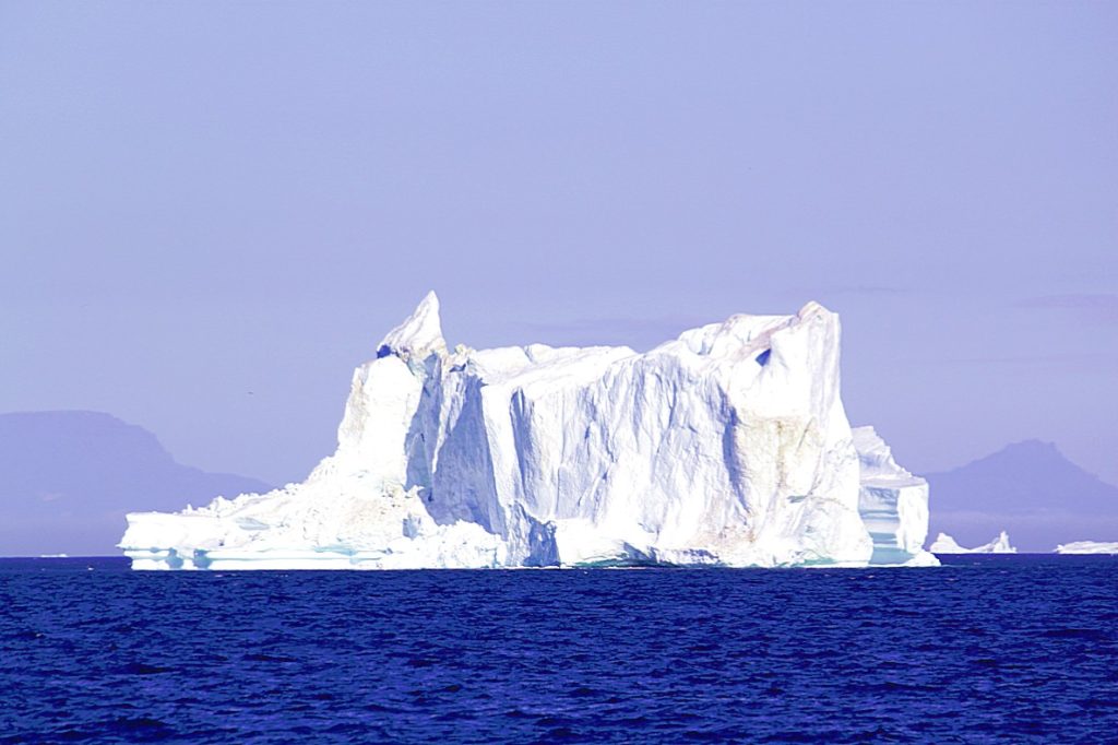
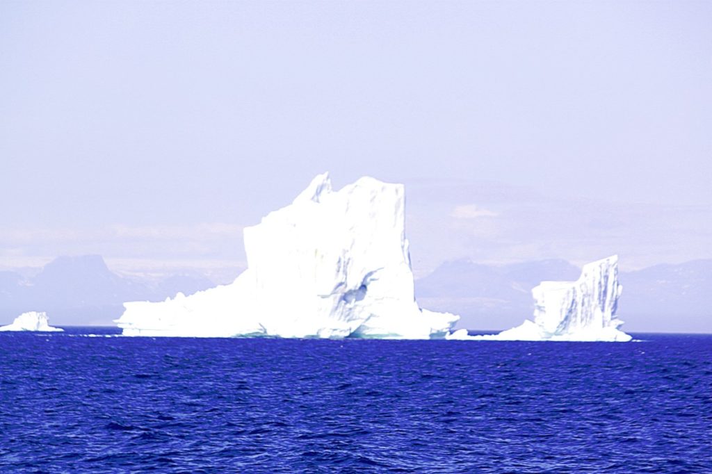
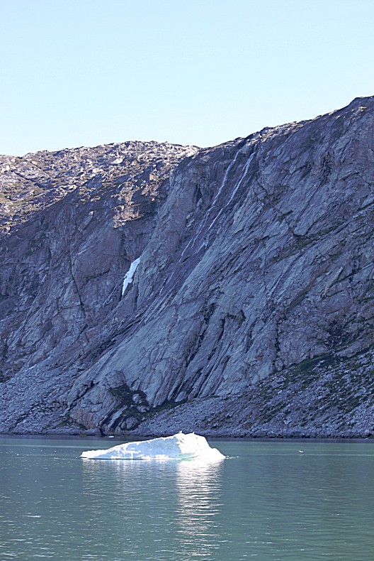
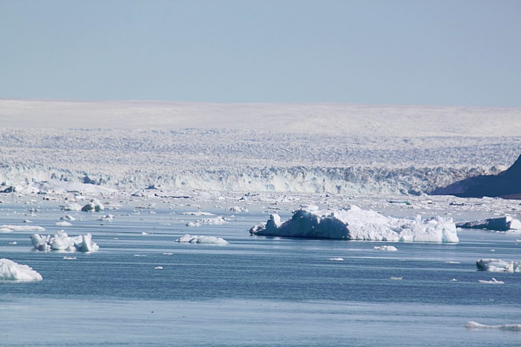
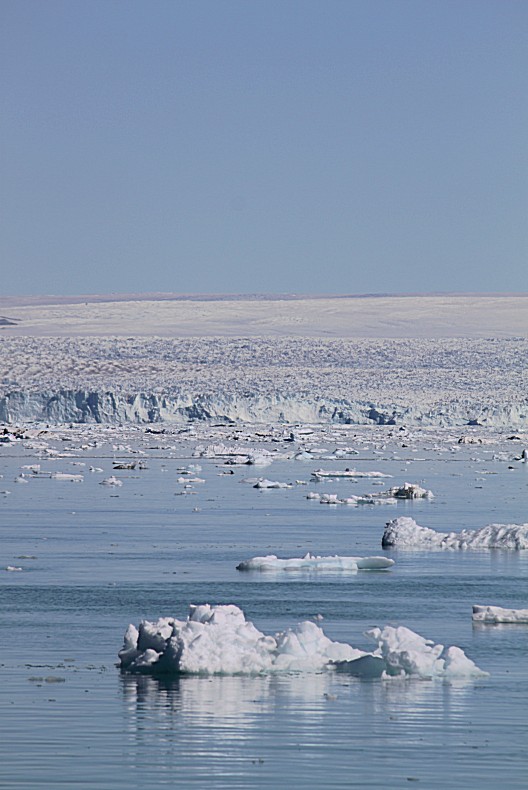
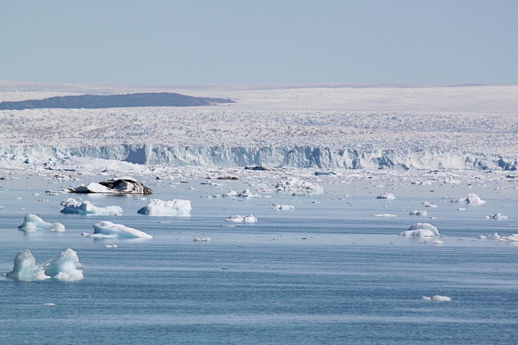
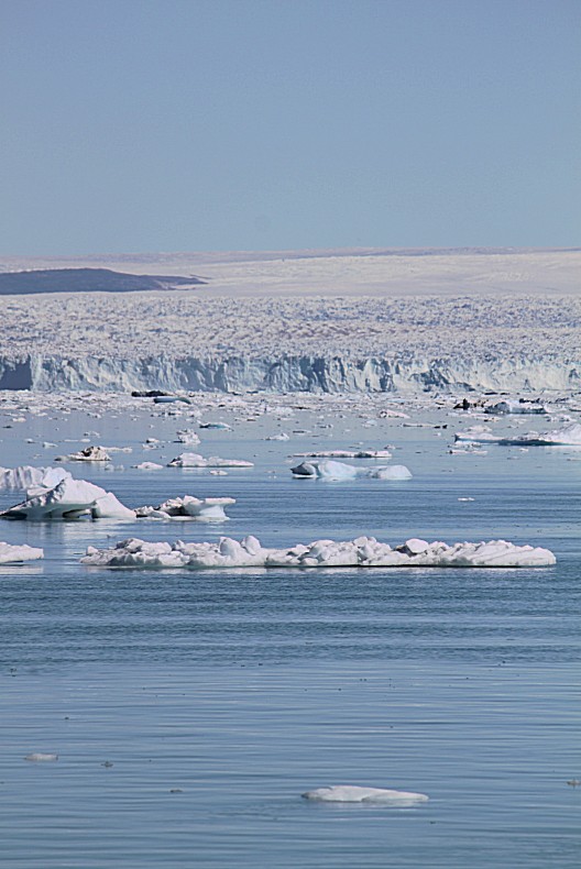
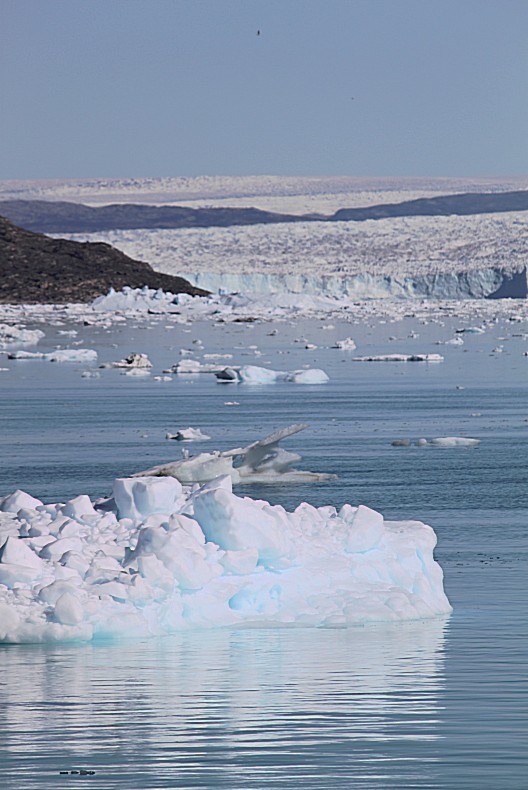
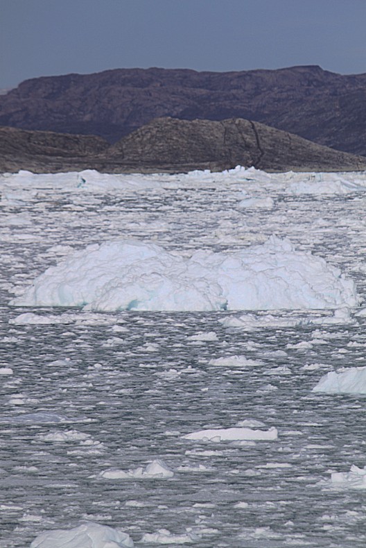
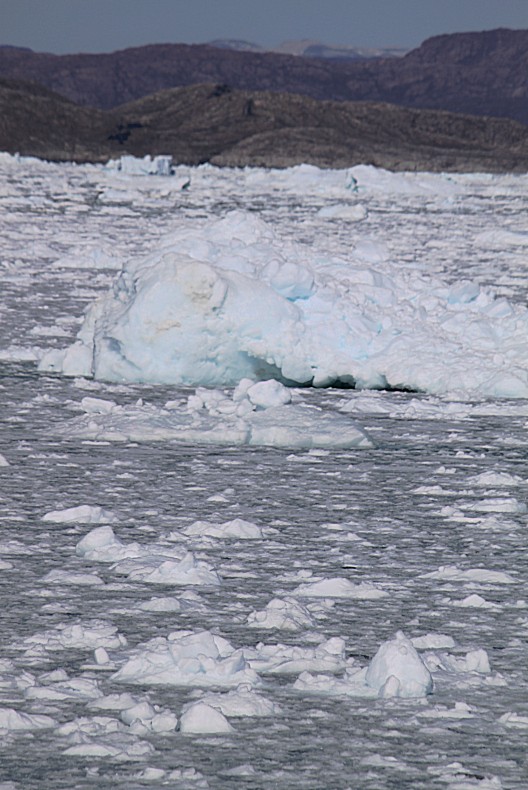
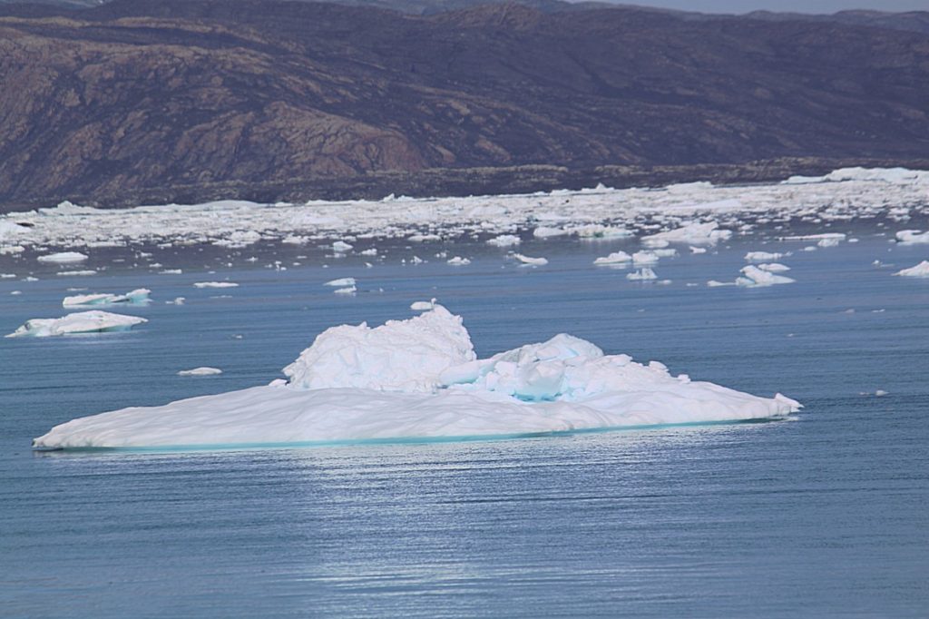
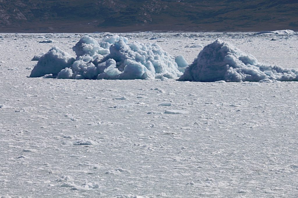
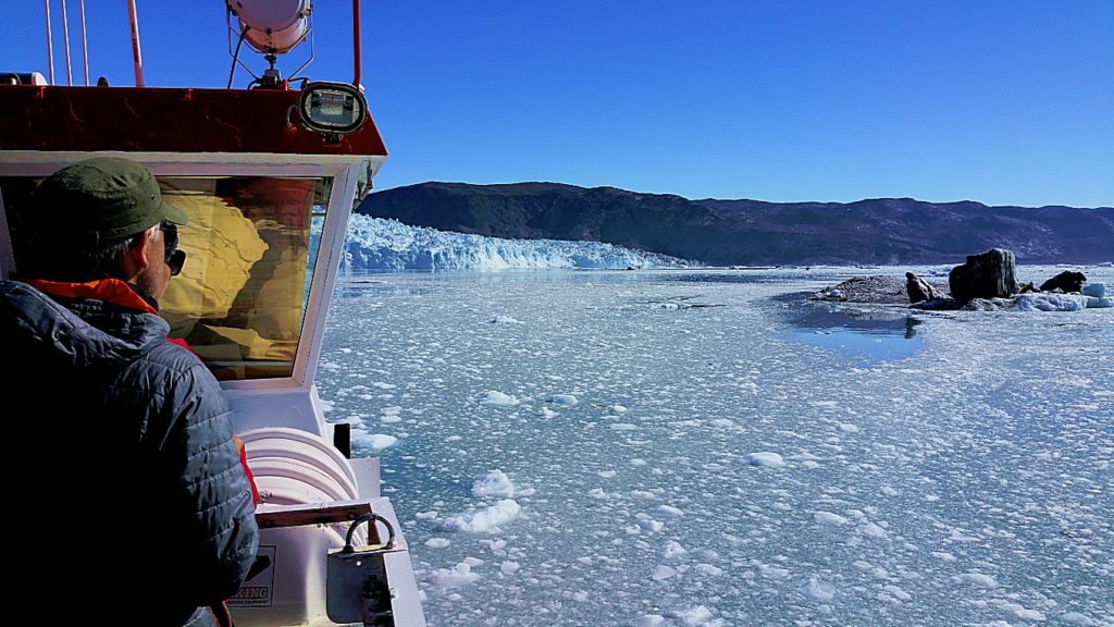
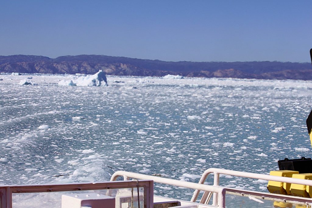
For many hours the ship sailed between floating icebergs, all originating from the Kangia icefjord.
The area we were sailing through was not inhabited by mankind. After Oqaatsut/Rodebay, a small whalehunter community a few kilometers north of Ilulissat with a Dutch legacy, we intruded into the grand Greenlandic wilderness. North of Rodebay were no settlements in the Disco Bay area. The 1st settlement north in Disko Bay is Saqqaq (167 inhabitants), but we were not going that far north.
Our target was the very active Eqip Sermia Glacier and Eqi Glacier Camp.
The first part of the journey was upon clear blue open water underneath a clear blue sky and passed pure white icebergs. It reminded me of the stories I heard from locals and guides in Ilulissat and from reading about the impact of climate change on life in the Arctic.
The locals (of which a large part is engaged in hunting and fishing activities) have seen lots the changes, that occurred in the last decades, first hand. Many of them commented on the dramatic decline in winter sea ice, which has made travel between the many smaller settlements very difficult.
Testimonials regarding climate change by locals of Ilulissat and by park rangers at the Icefjord:
- “I don’t know anything about global warming, but I don’t understand why there are waterholes instead of Snow when we decorate Christmas Trees.”
Milius Reimer. - “When I was still a child, the ocean froze and people went on that ice with dog sleds. Our son Valdemar won’t experience that anymore, except in stories told”.
Sika Petersen & Valdemar Gaarde. - “There are advantages and disadvantages caused by the changing weather. It’s windy and very hot. The snow appears after new years eve, when temperatures drop a bit. But we do spend less oil and that’s a good thing though”.
Søren Rosbach. - Things about climate change noticed by park rangers:
- “Summers and Winters are hotter;
- No more sea ice;
- Bad snow conditions in winter;
- More wind;
- Smaller ice bergs;
- Earlier start of flowering season for plants and earlier start of the breeding season for animals”.
Another concern is that the changing conditions will affect the path of currents in the Disco Bay, making the ice even more difficult to read and affecting where fish can be found. Shifts in the patterns of ice coverage could also interfere with the interplay between nutrients, light, and ice that have made these coastal waters extremely productive and a strong base for the small-scale fisheries that provide a critical income both locally and for Greenland as a country when it is exported.
Even on land, the warming creates problems as melting permafrost shifts the ground and wrecks sewage pipes and roads (roads within towns and settlements)
If temperatures continue to rise, it is natural to ask how much the planet’s ice masses will be affected. Sealers and whalers at Qaanaaq say that the sea ice is 1 metre (3 feet) thinner today than it was earlier. East Greenlanders see less ice from the Arctic Ocean than earlier, and both scientists as well as tourist guides report that in certain areas of the country glacier heads are pulling back year after year. This applies not least to the UNESCO-protected ice fjord near Ilulissat, which has pulled back almost 10 km (6 miles) between 2001 and 2004. Whether more ice is melting than new ice is being created is the question on which science is concentrating on finding an answer to at the present time, but it seems that the scale has tipped towards more melting.
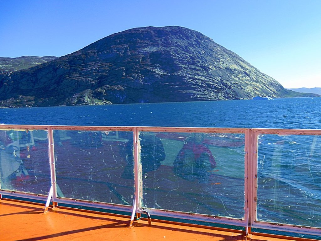
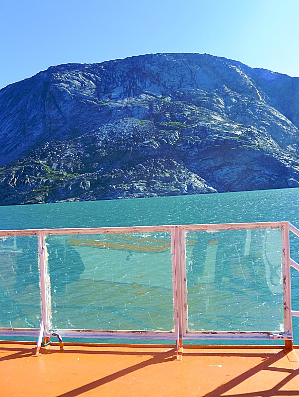
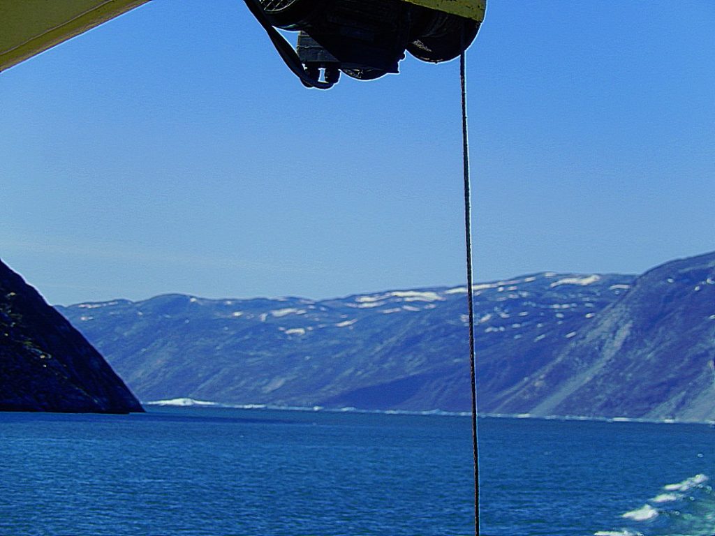
The ship sailed further north into the Ataa Sund, the strait between Greenlands mainland and Arve Prinsen Ejland.
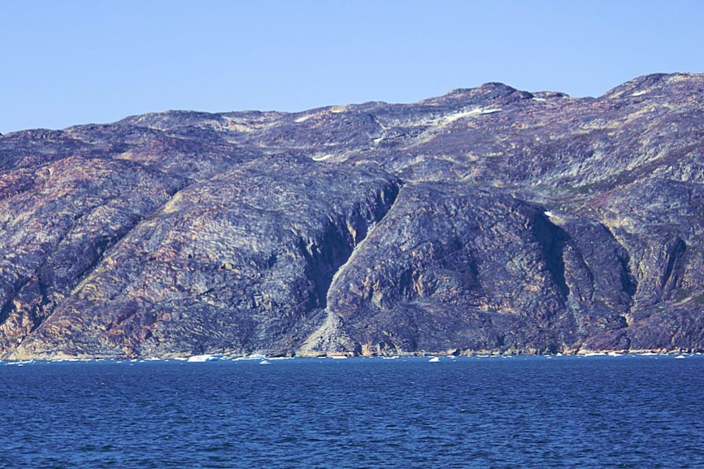
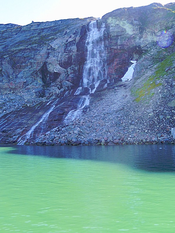
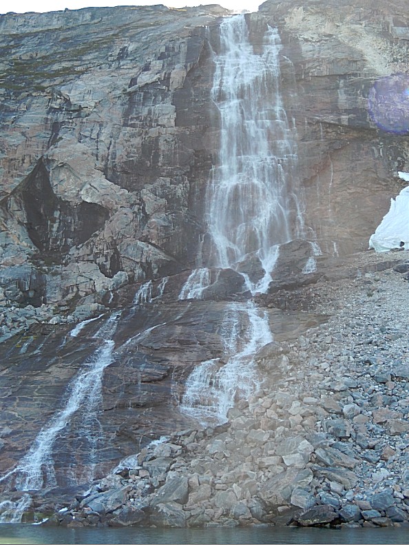
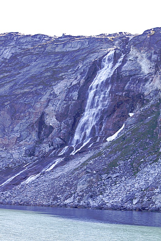
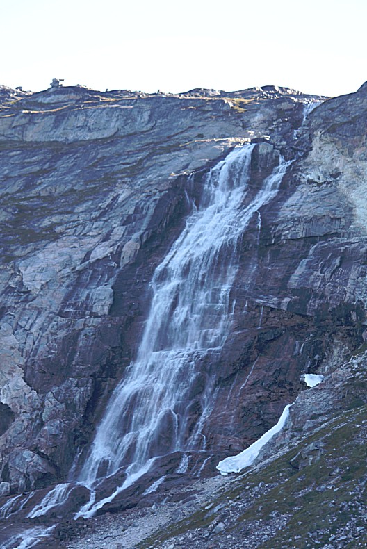
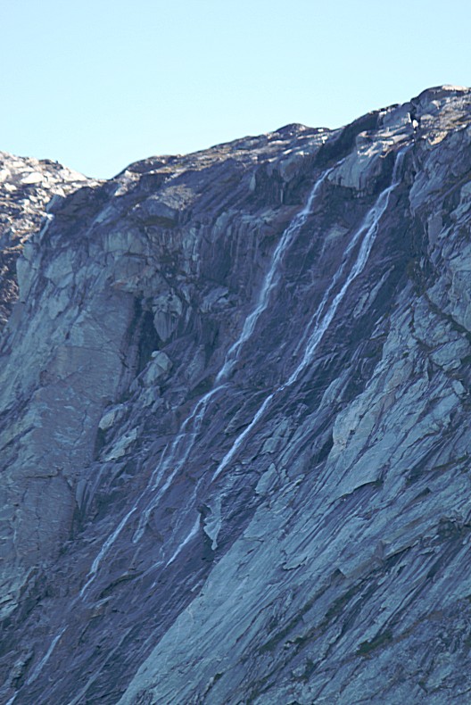
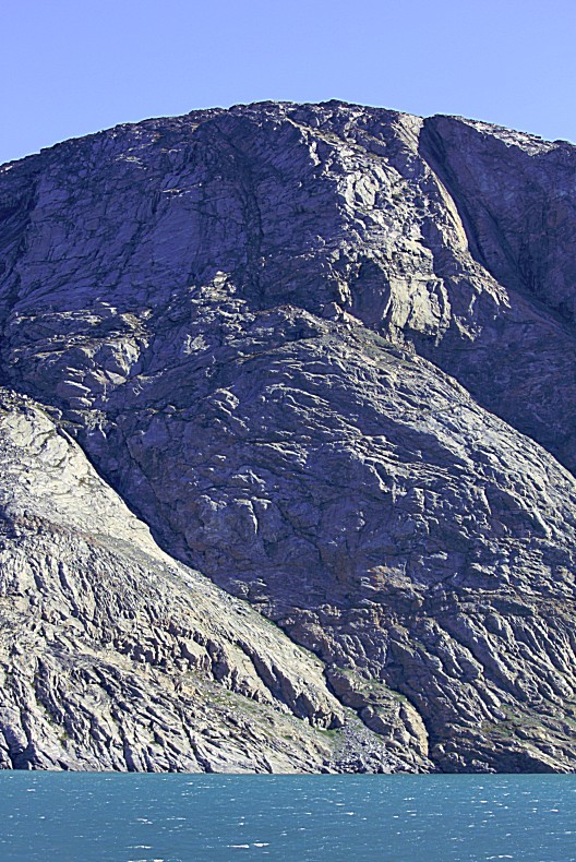
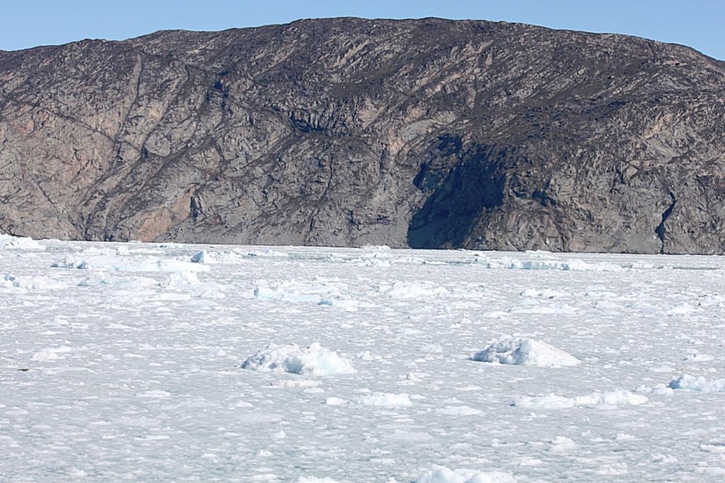
Arve Prinsen Ejland was a steep, bare, rocky island with no settlements. The coast of the Greenland mainland was steep too and several waterfalls came down from the mountains.
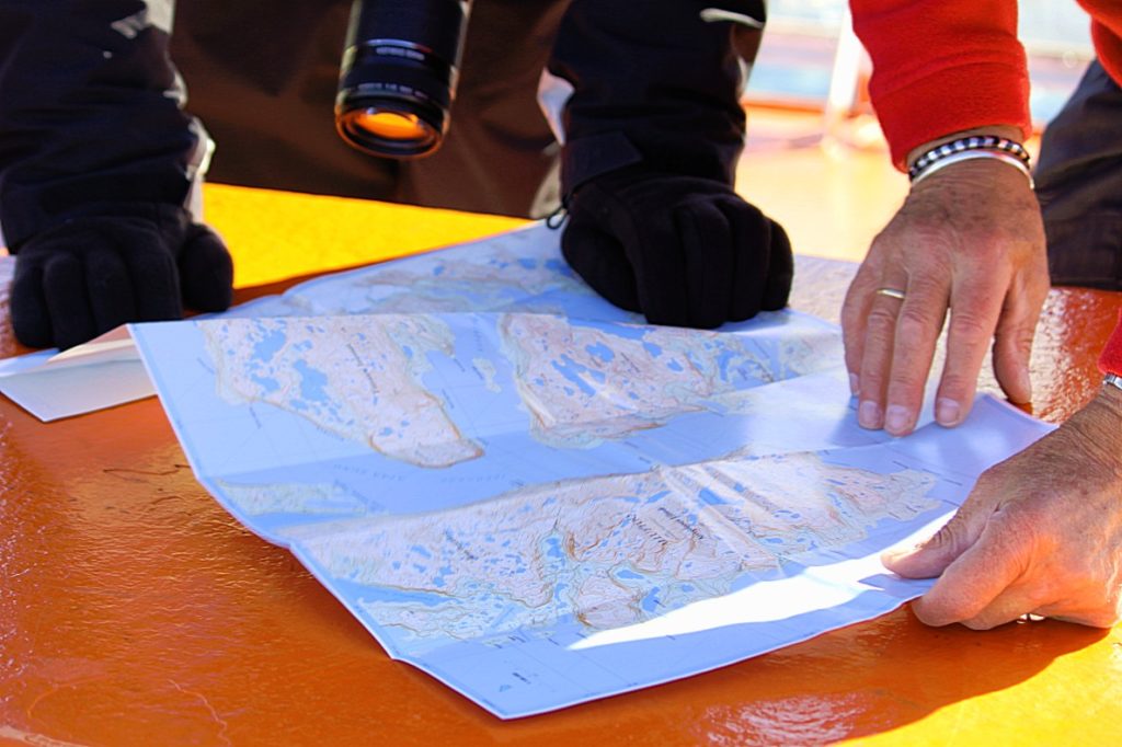
The ship kept sailing north and I checked the map of the Disko Bay area to see how far we were from our destination.
We were now arriving at the broader northern part of Arve Prinsen Ejland where the Ataa Sund turned from going north to northeast. After a while we saw an island right in front and a large bay opened to the east.
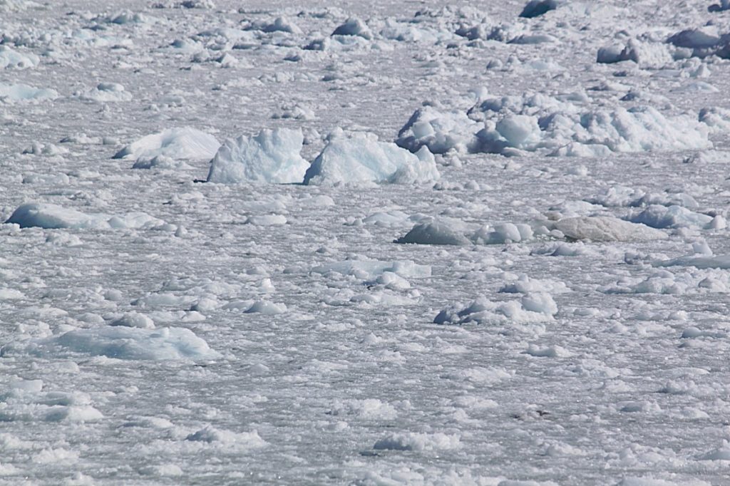
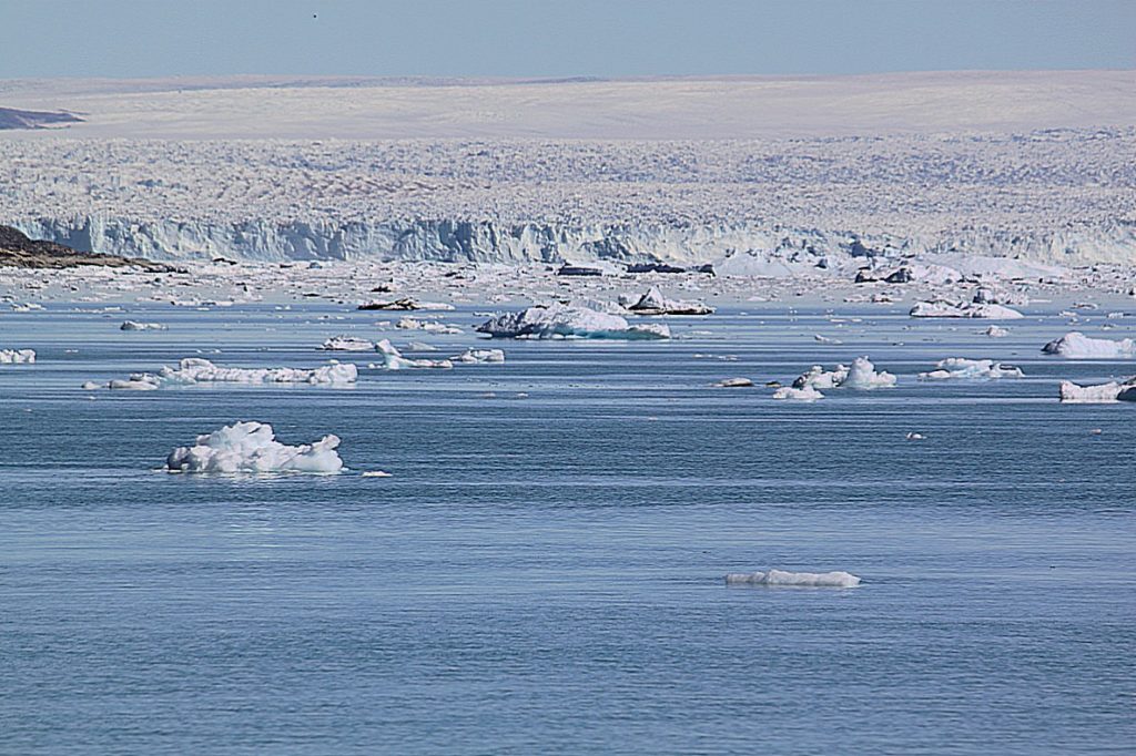
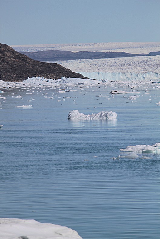
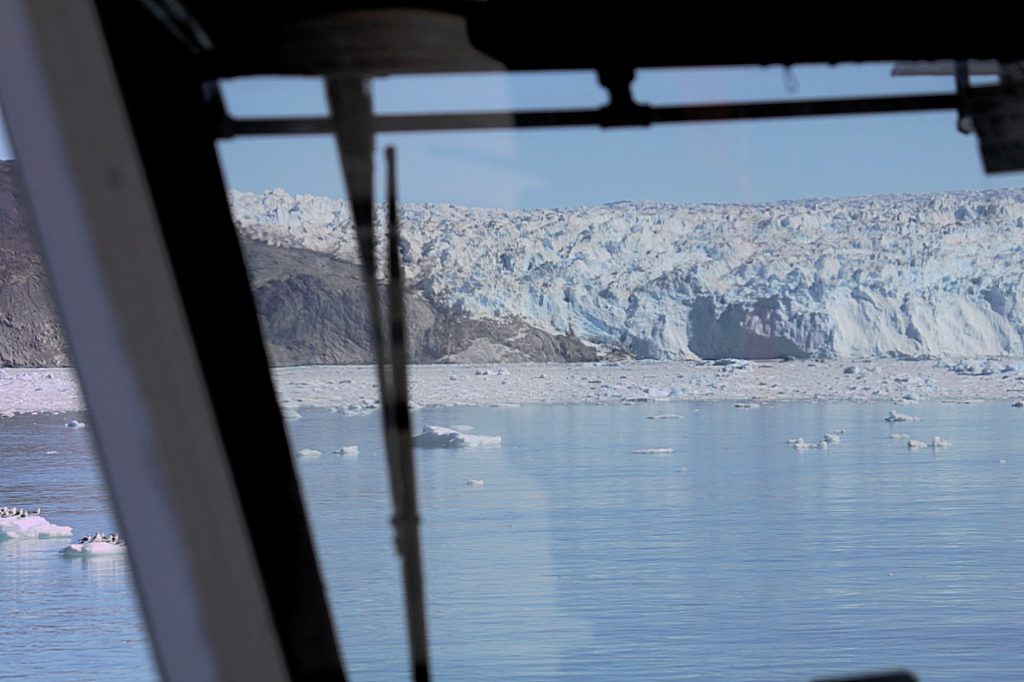
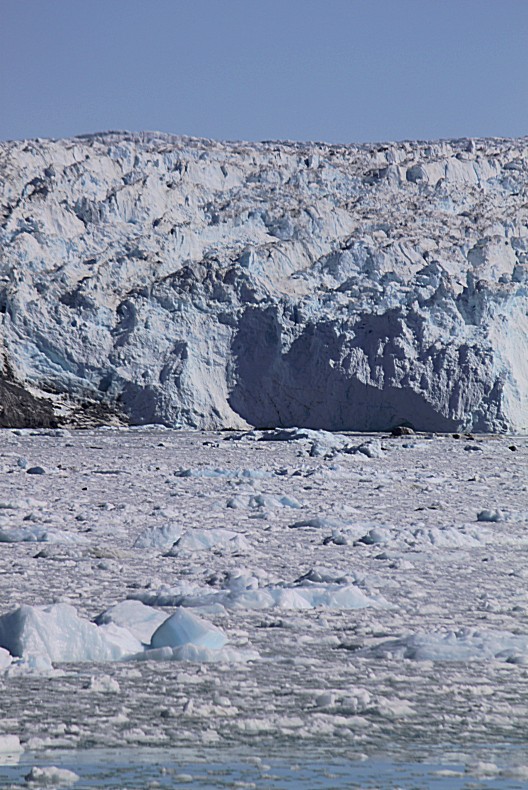
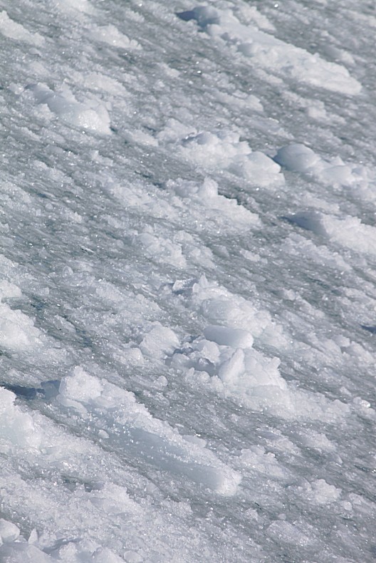
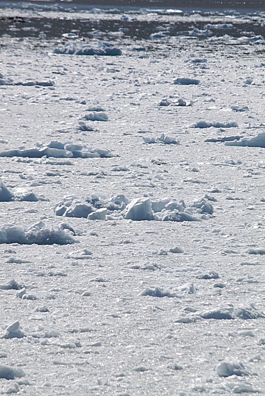
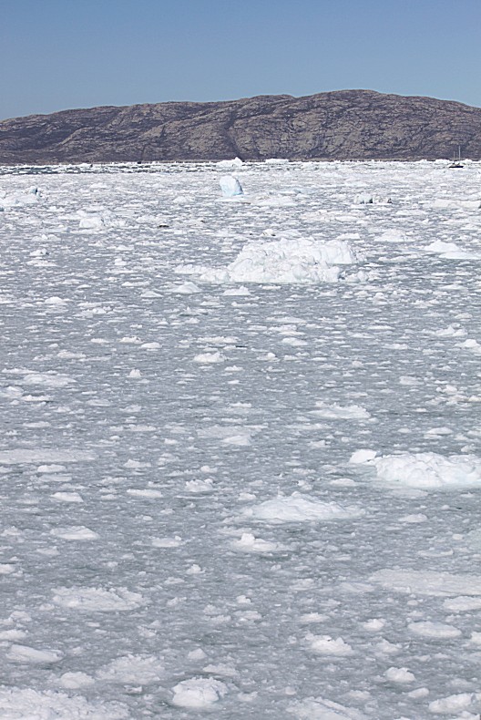
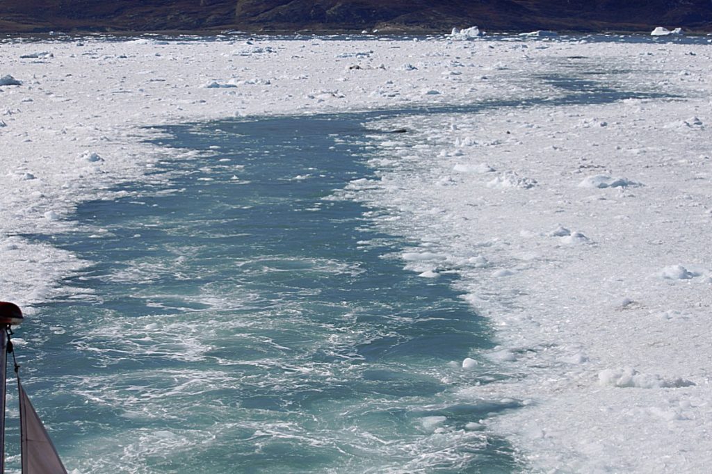
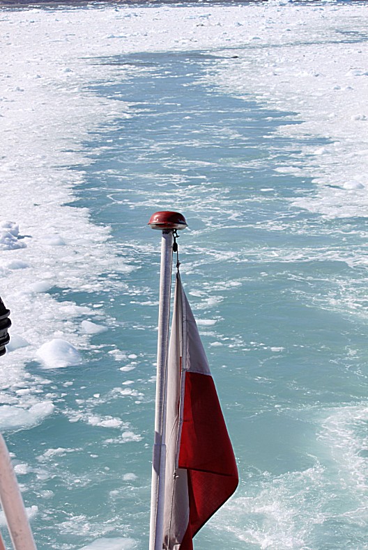
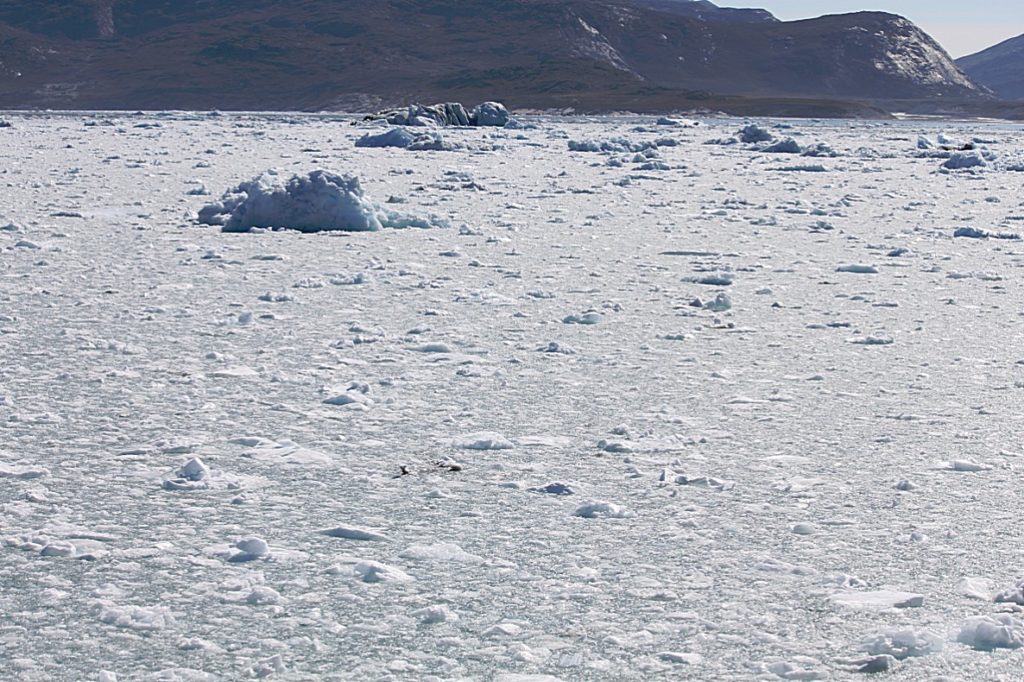
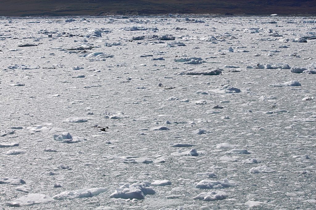
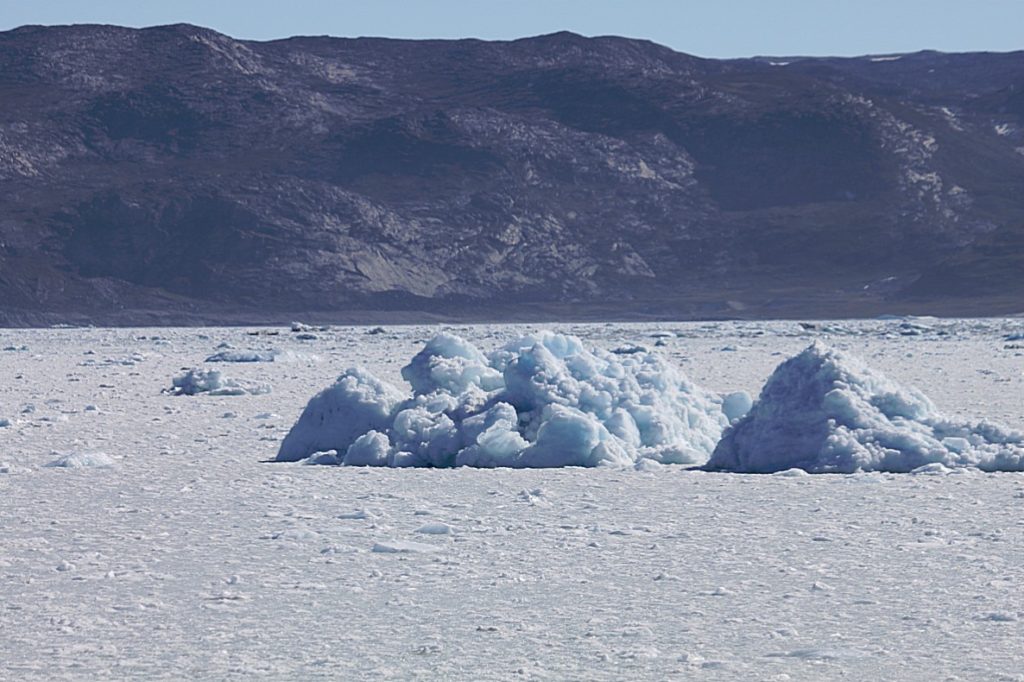
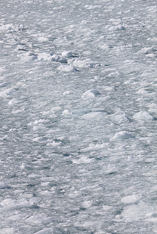
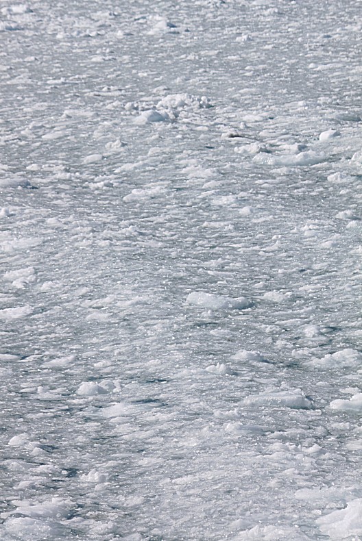
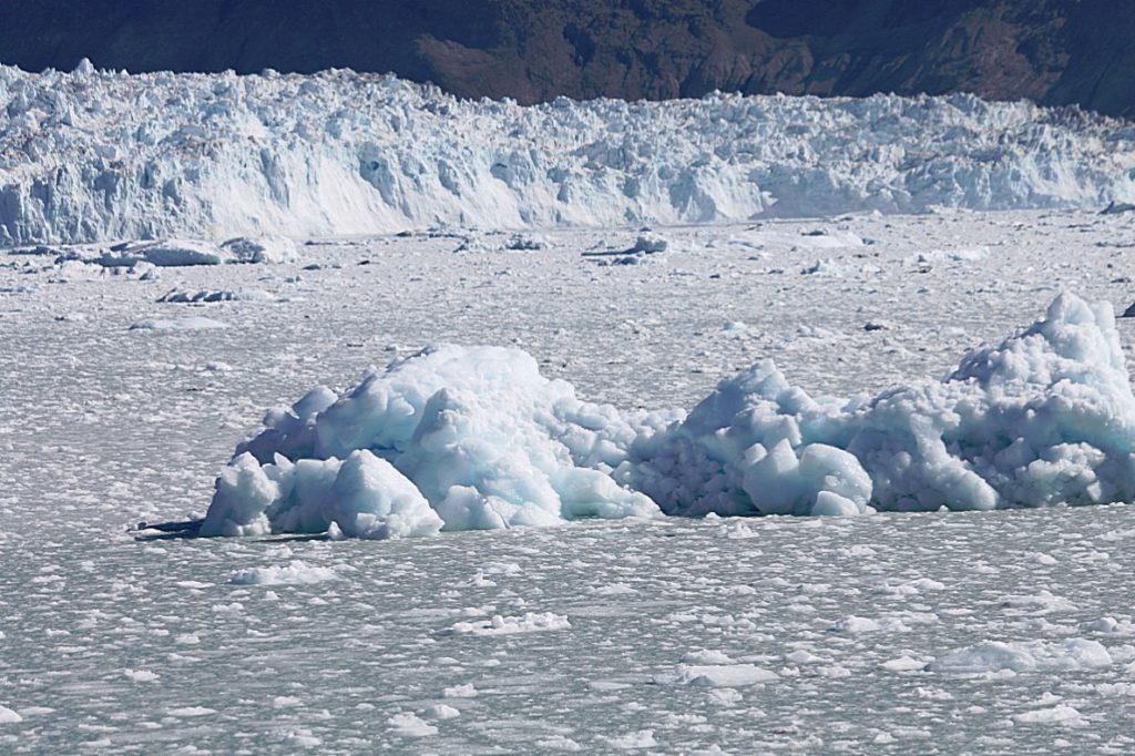
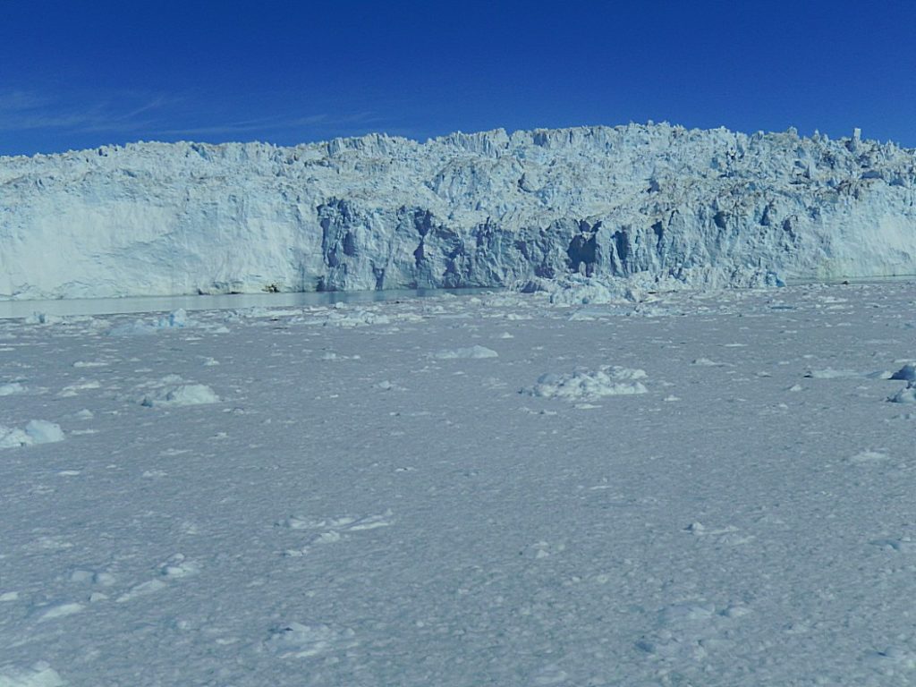
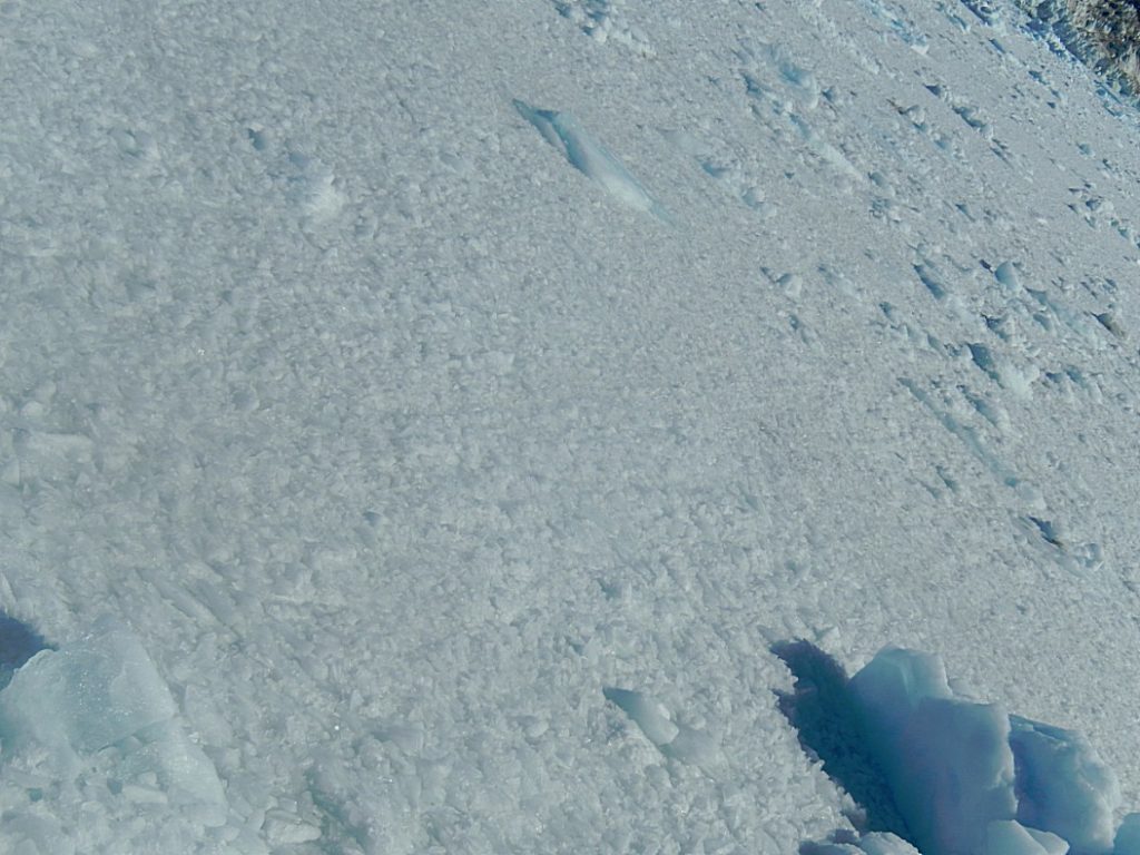
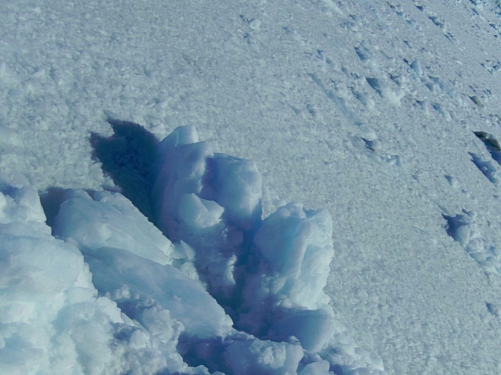
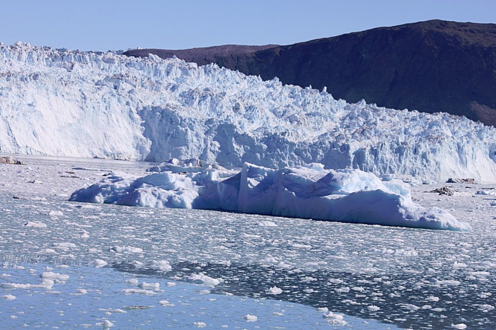
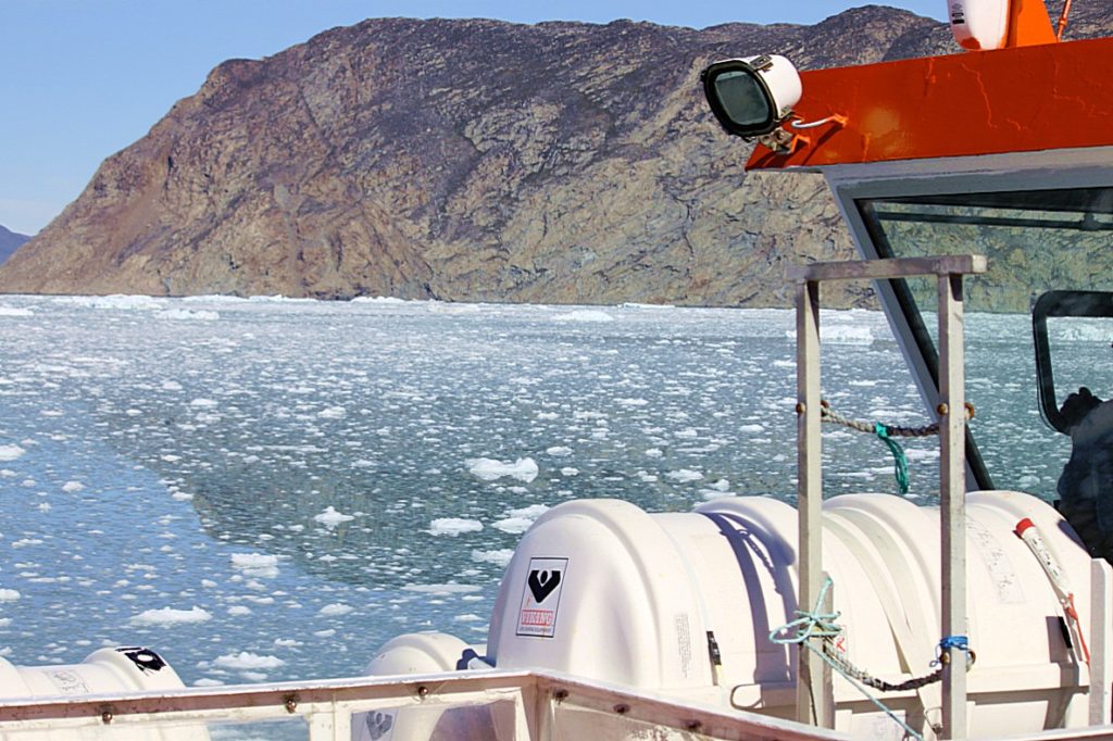
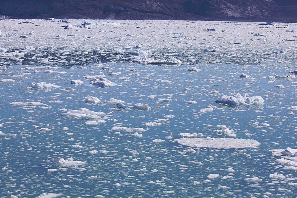
The ship now turned east and the waters were now consisting of glacial ice pulp. The ship ploughed through the ice pulp and between icebergs.
If you live in a world of ice, it is not sufficient to have only one or two words to describe ice. You need many words to describe the meanings of the different phases in which ice is formed.
The Inuit and other tribes/people living in the north have a very large number of ways to describe something we would probably describe with only one word: sea ice.
The WMO (World Meteorology Organisation), has therefore published the Sea Ice Nomenclature, a list of 170 different descriptions of ice.
Names like:
- frazil,
- nilas (or dark nilas),
- fast ice,
- pancake ice,
- ice cake,
- floes,
- floeberg,
- breccia,
- brash ice,
- etcetera.
I’ll explain a bit more of the most important ones a bit further in my blog.
Then to the north, my eyes caught the mighty North Glacier.
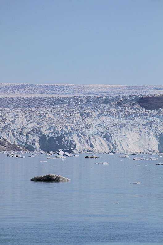
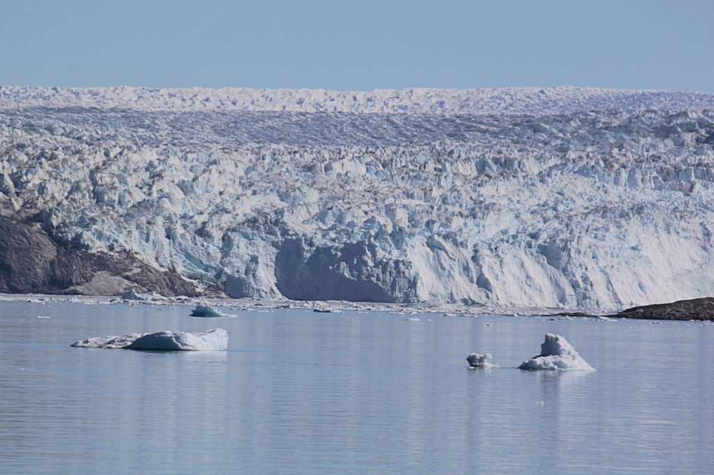
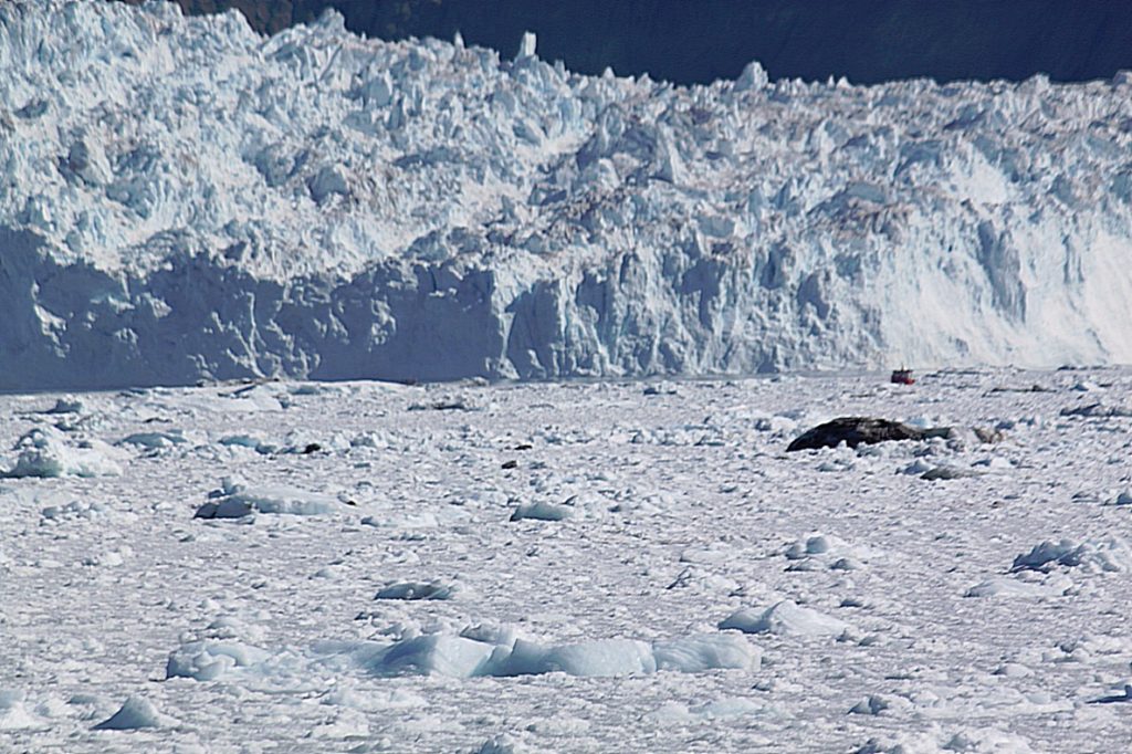
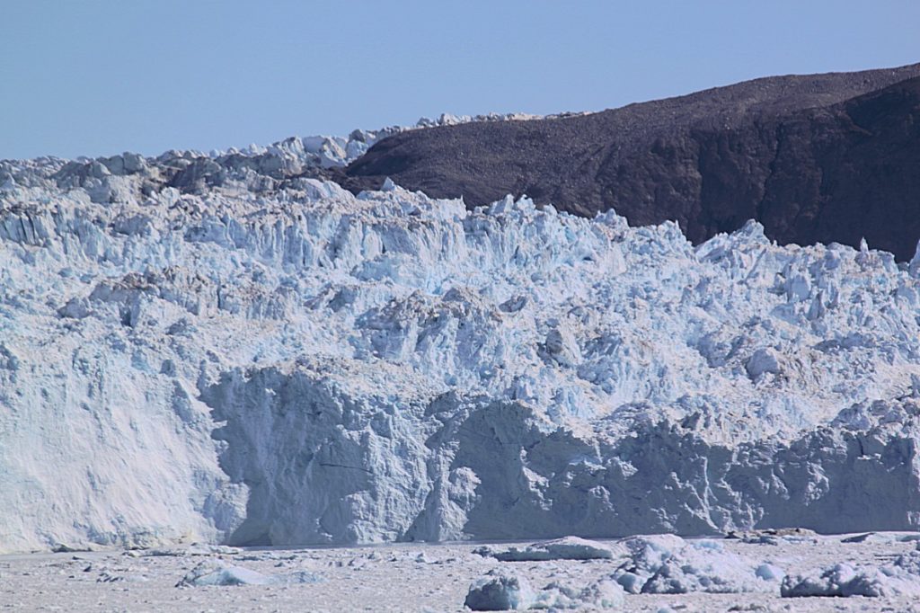
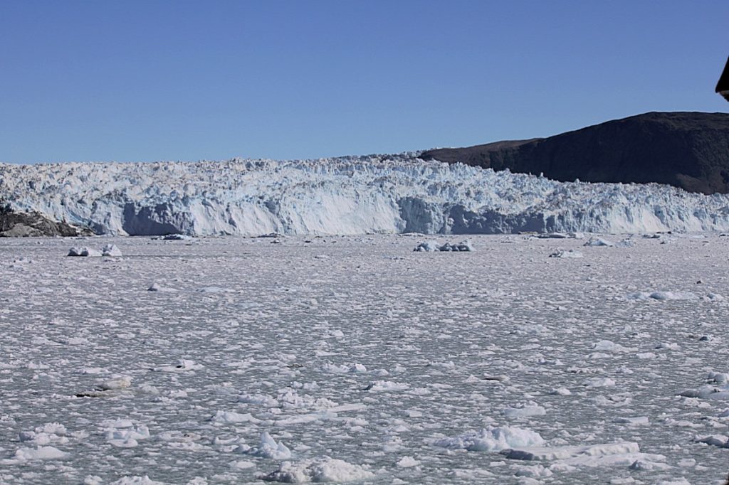
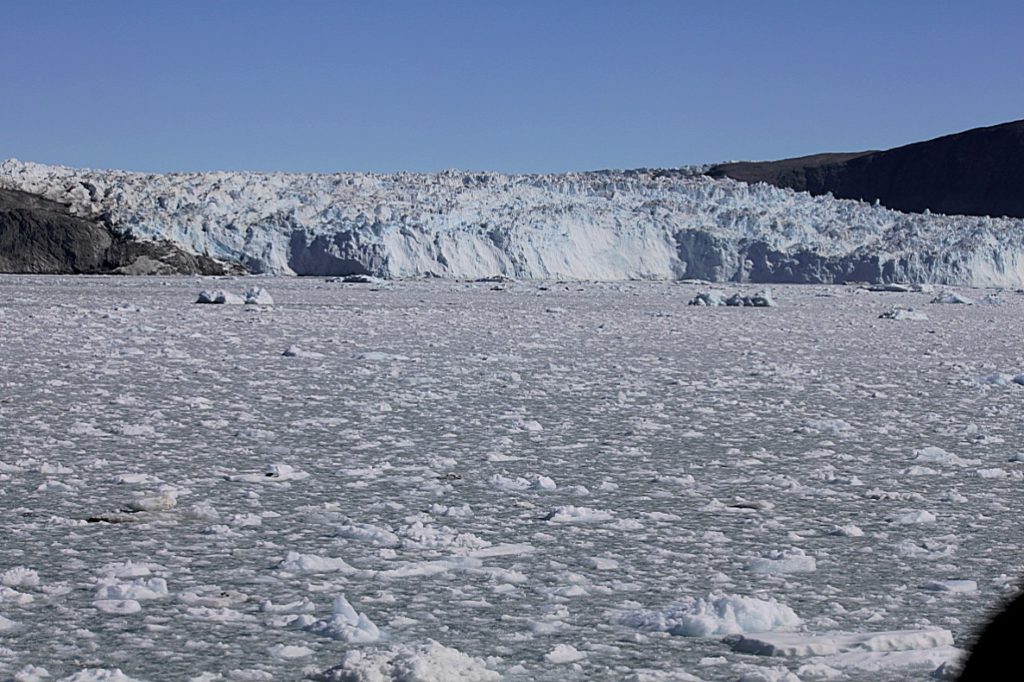
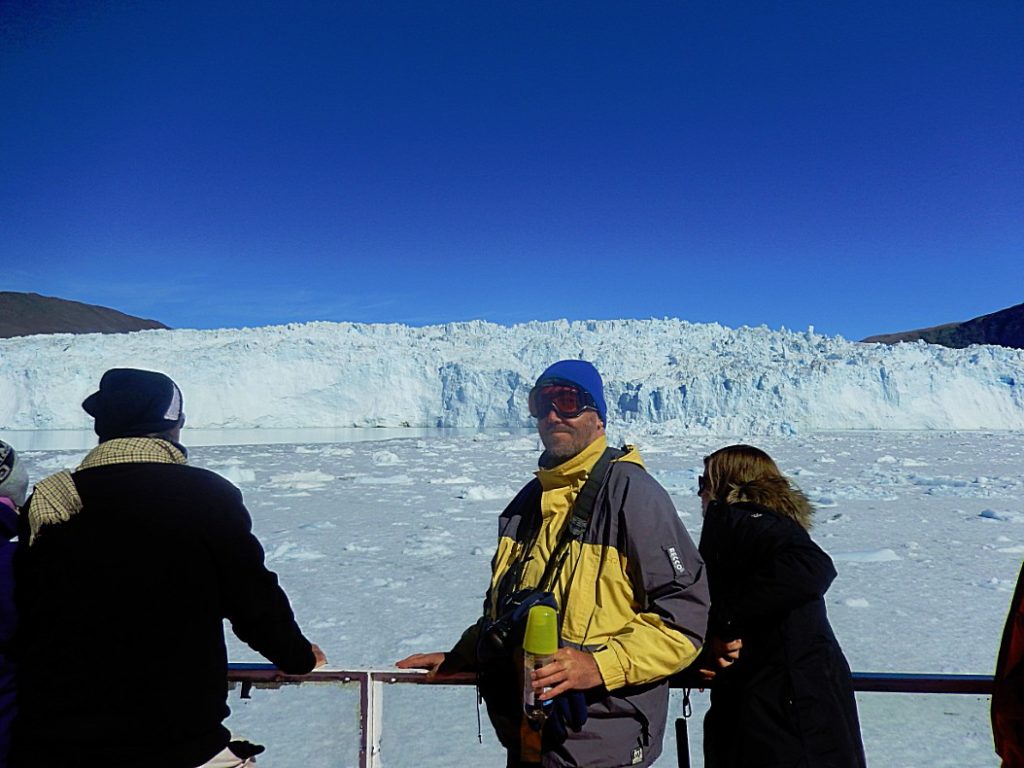
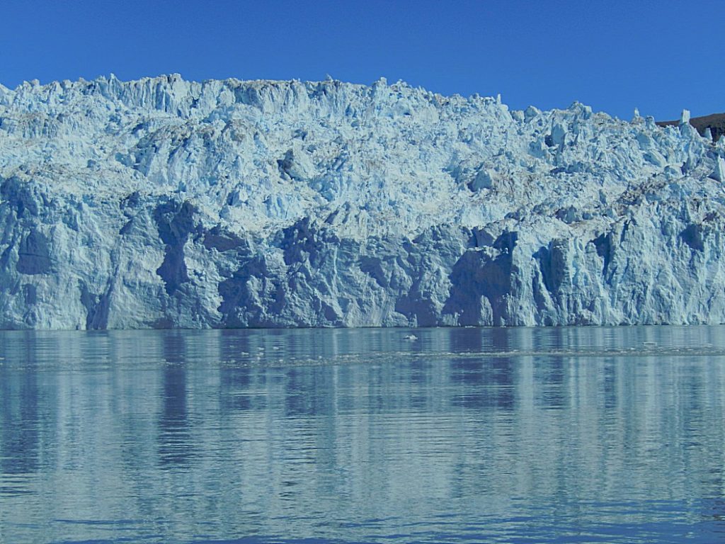
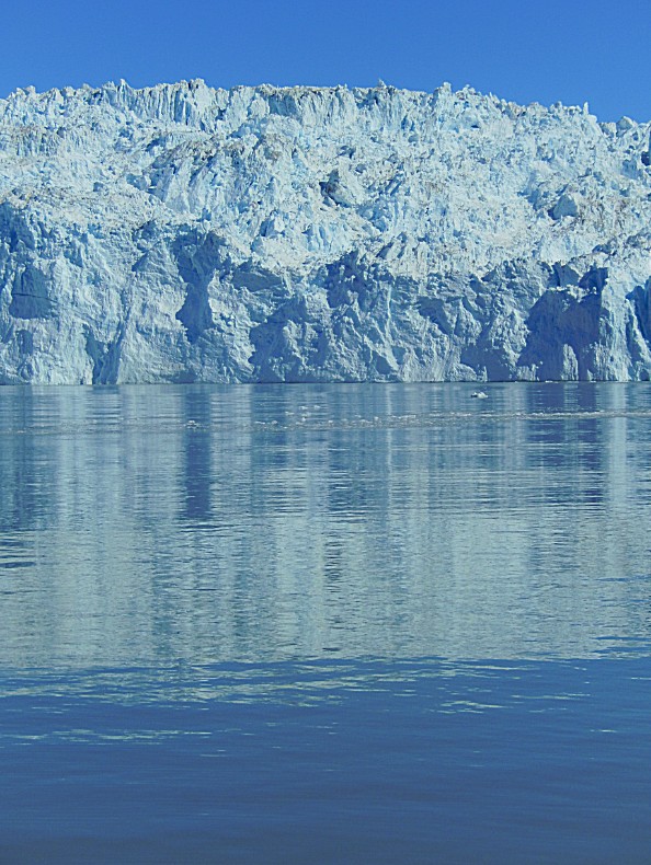
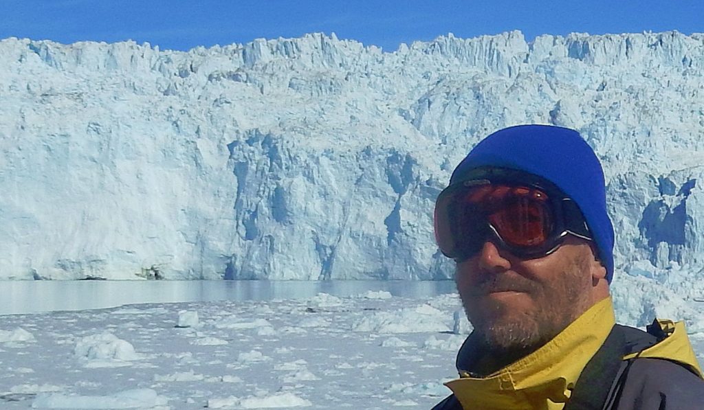
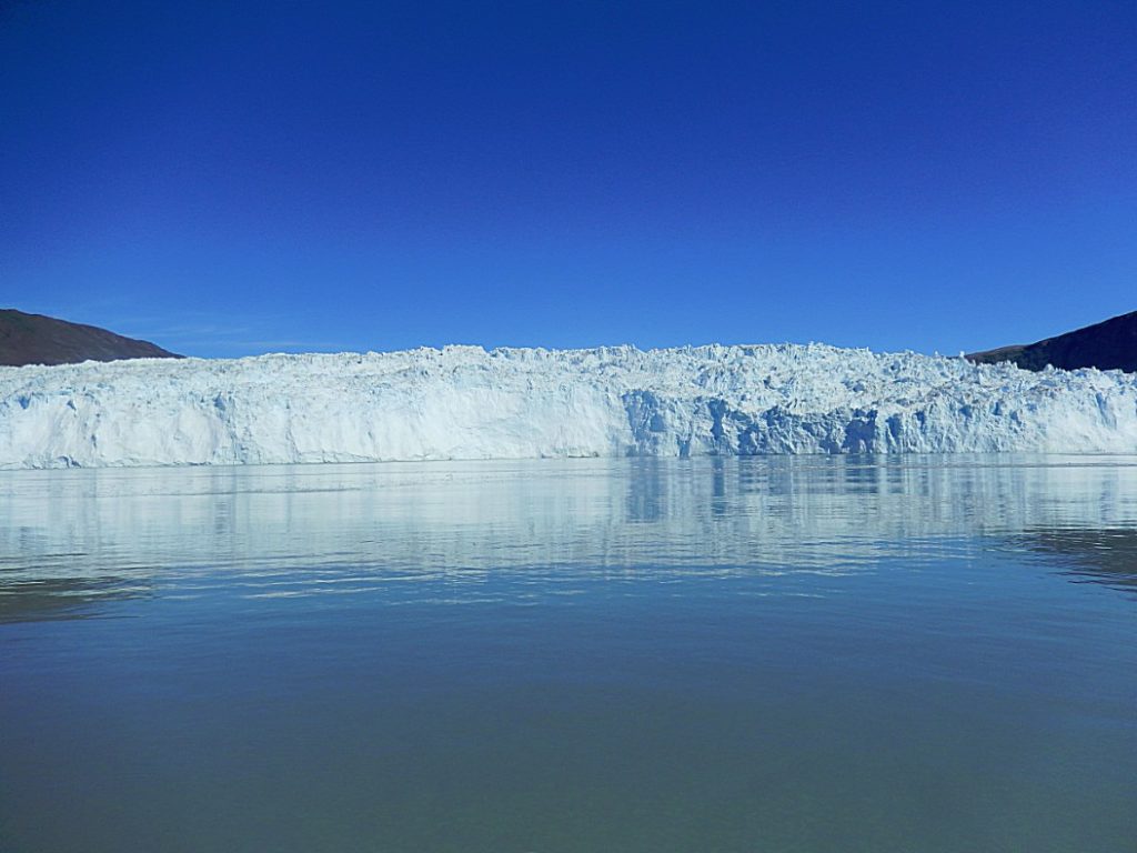
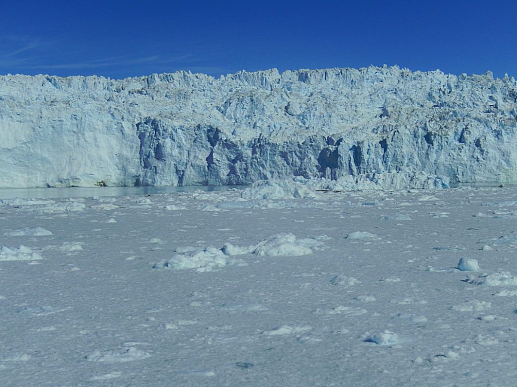
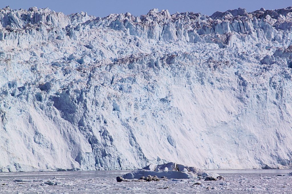
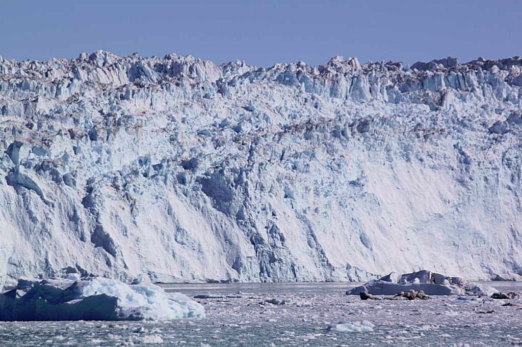
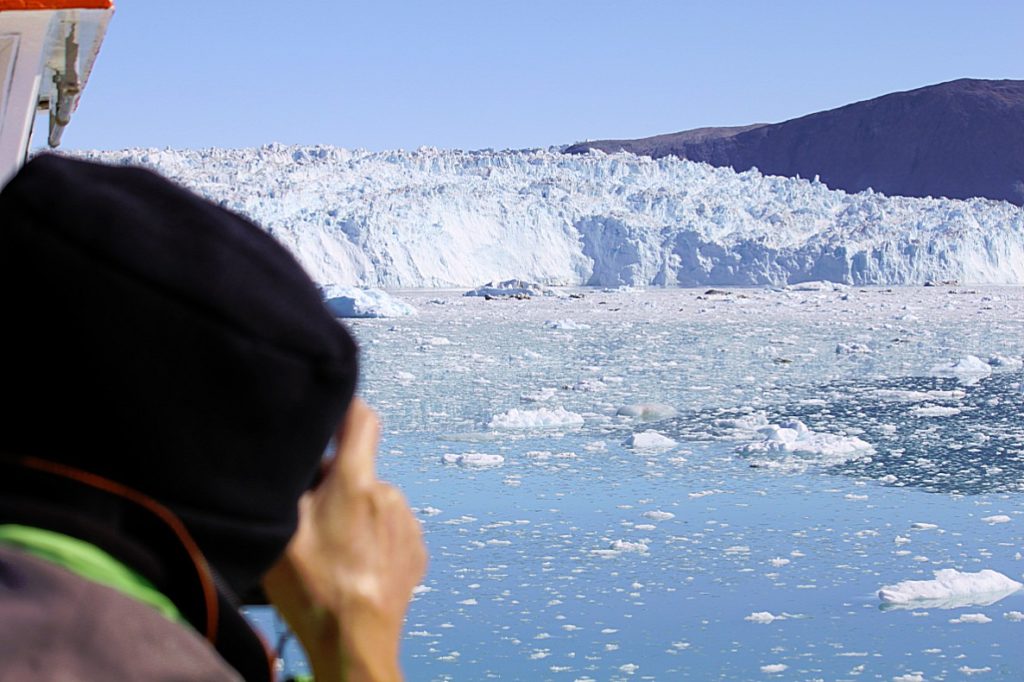
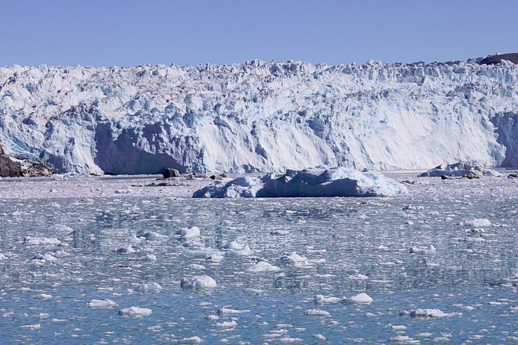
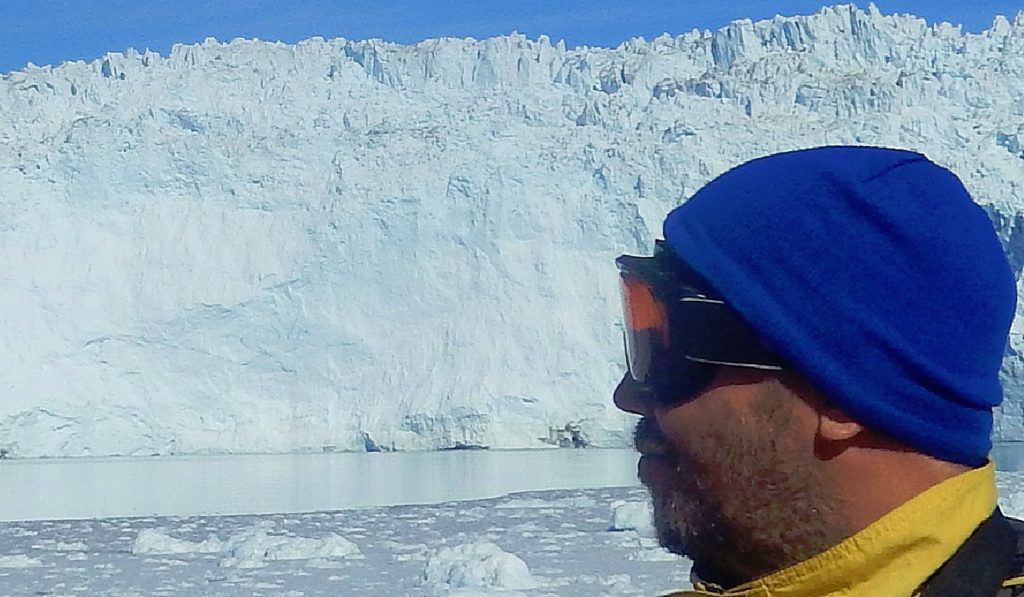
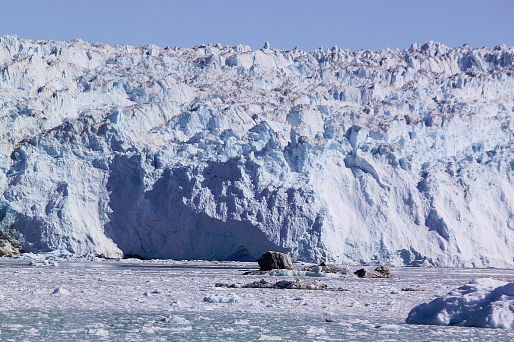
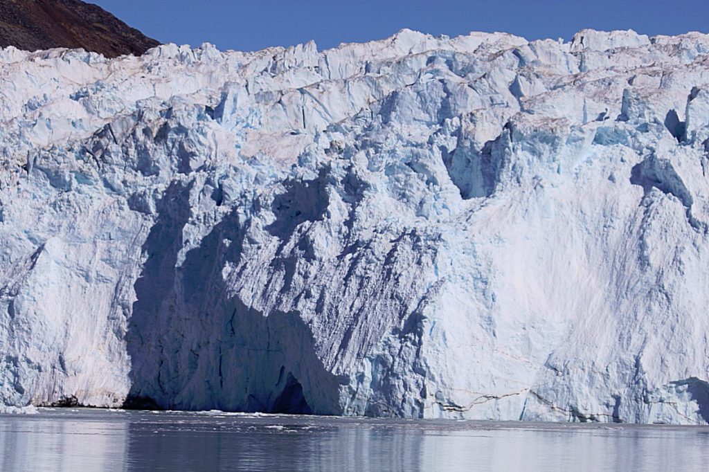
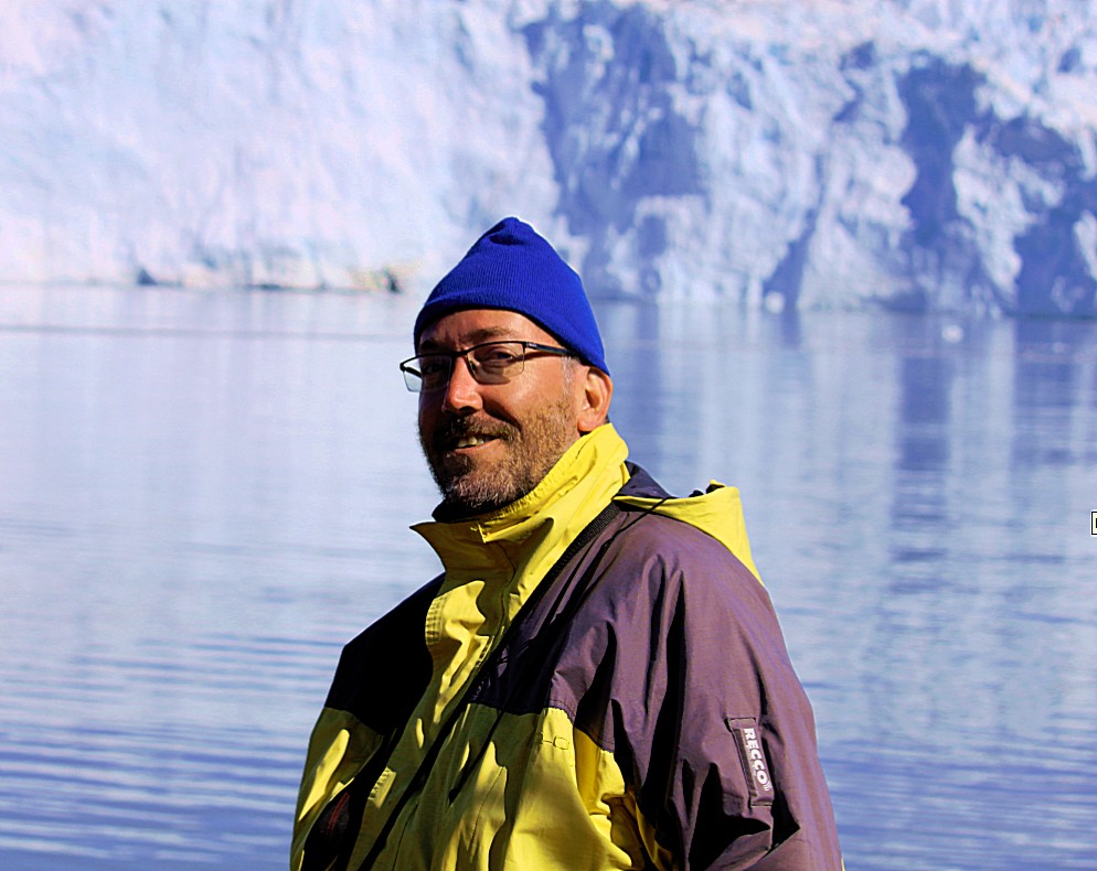
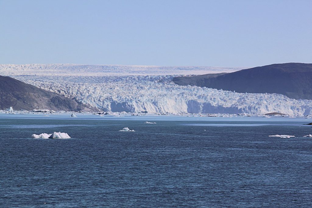
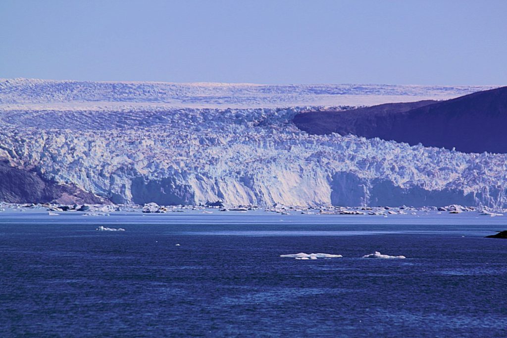
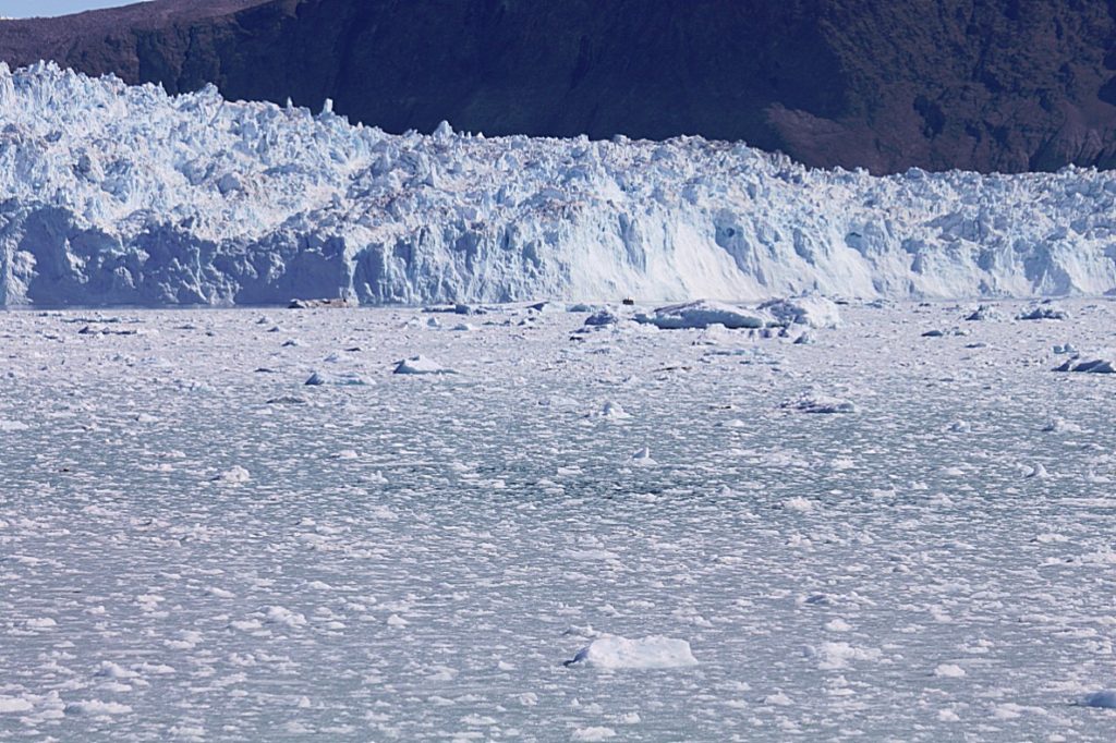
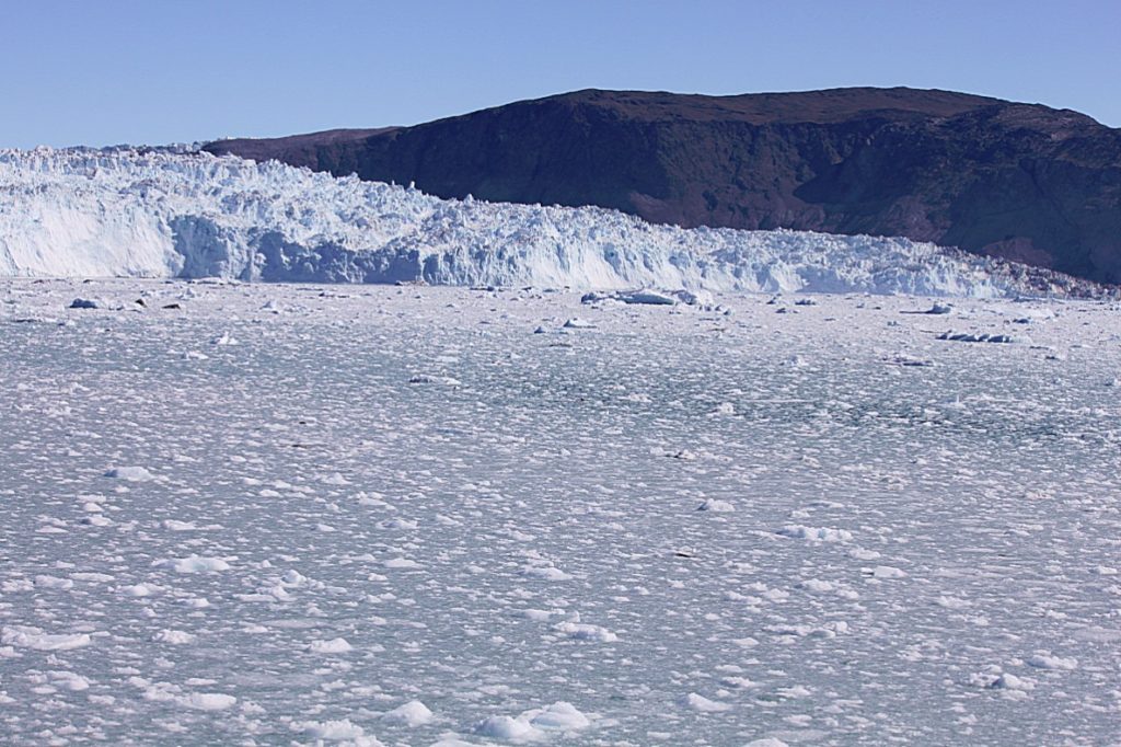
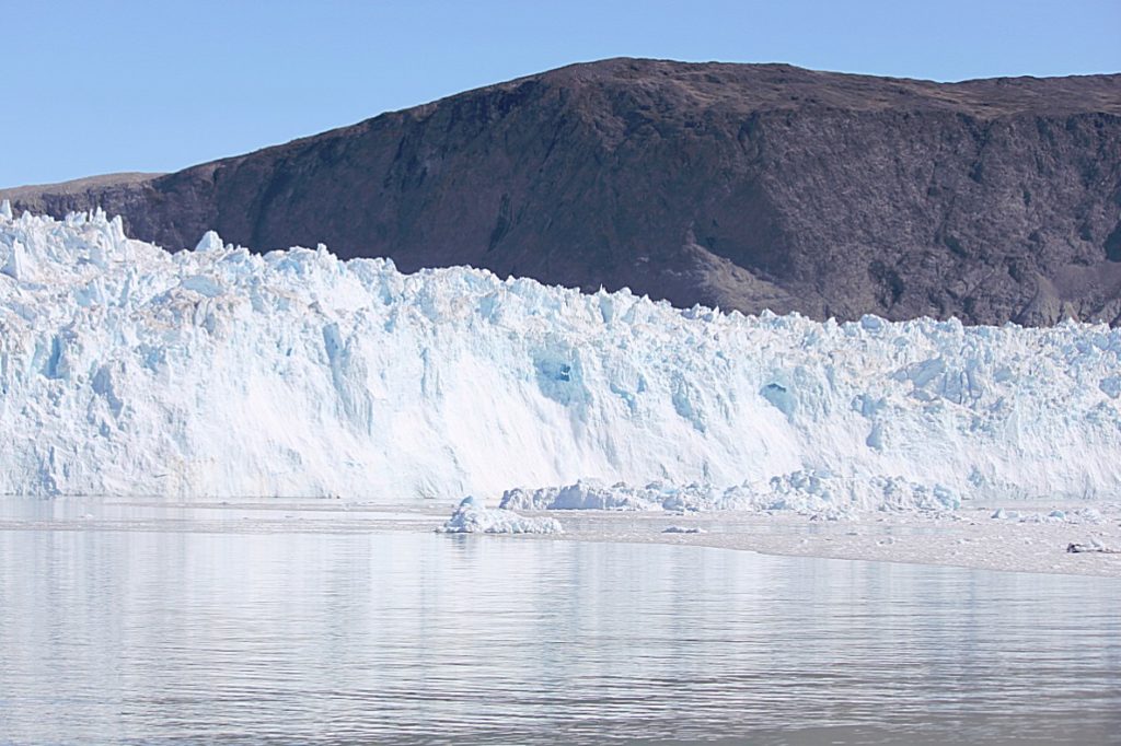
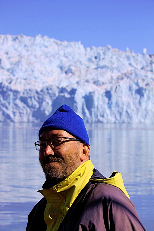
The ship sailed further east and finaly arrived at our destination: The Eqip Sermia Glacier. The captain turned offf the motor and for a few hours the ship floated in front of an extremely beautiful marvel of nature.
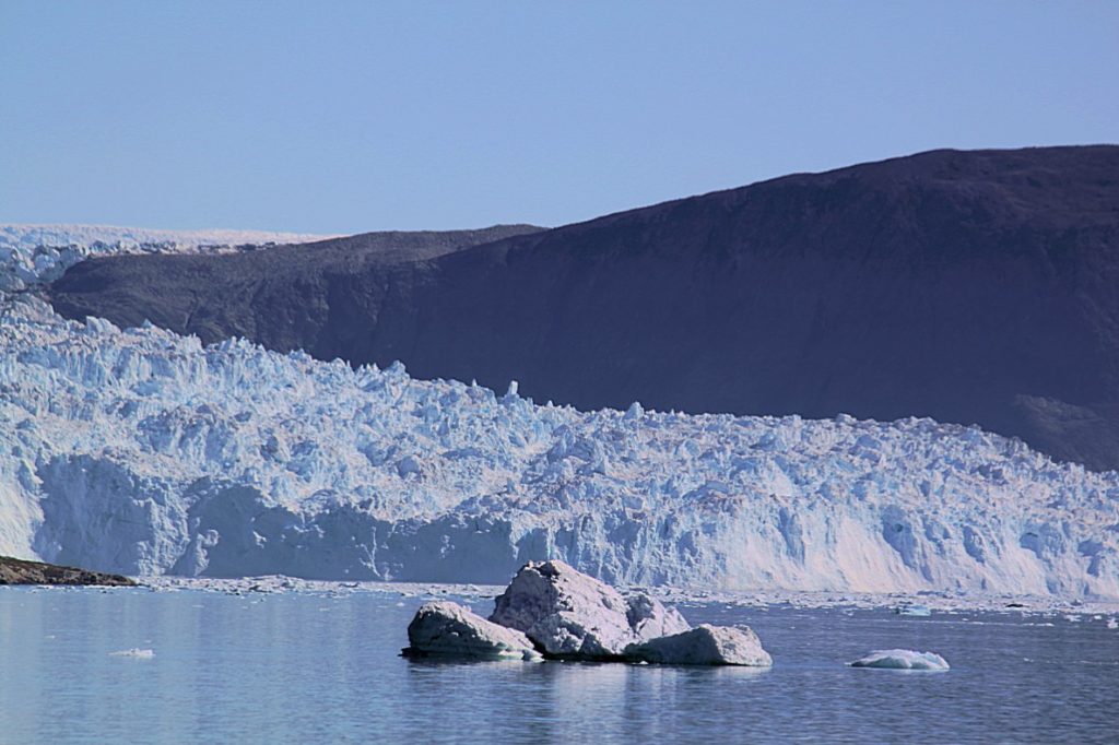
Eqi – The calving glacier
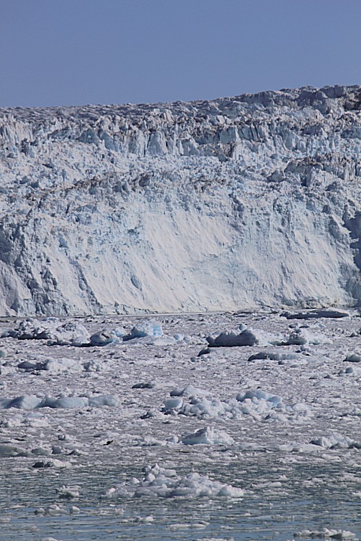
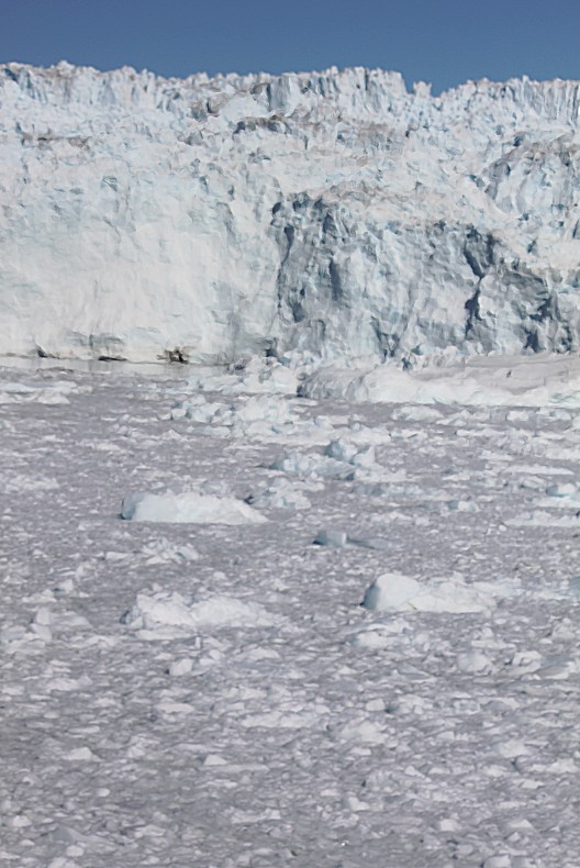
Few places in Greenland are as beautiful as the Eqi glacier in the mouth of a fjord, approximately 80 kilometres north of Ilulissat. The best part is that it is pssible to get extremely close to the edge of the glacier by boatand actually see it calve. The glacier calves so often, that anyone passing by will witness the sounds and sights of this spectacular natural phenomenon. The shotgun cracks of sounds are so loud and the vision of gigantic chunks of ice breaking off into the water is breathtaking…
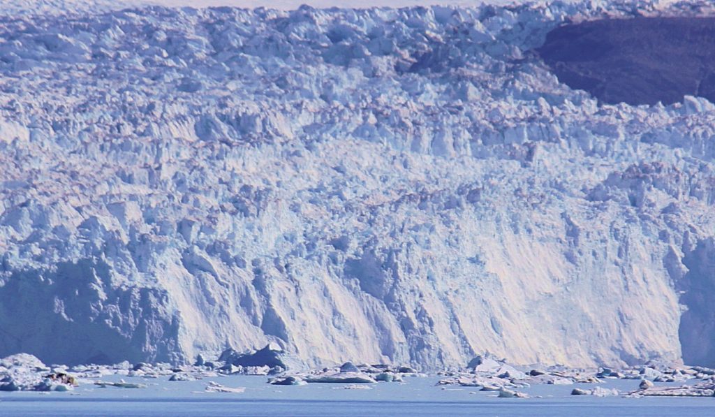 Eighty kilometres (3-6 hours of sailing) north of Ilulissat is a rare natural wonder: the Eqi glacier and its stunning surroundings. The glacier does not have the enormous dimensions of the famous Kangia Icefjordfurther south, however, Eqi surely isn’t a Lilliput. On a day trip by boat, you can get very close to the edge of the glacier and experience it calve…
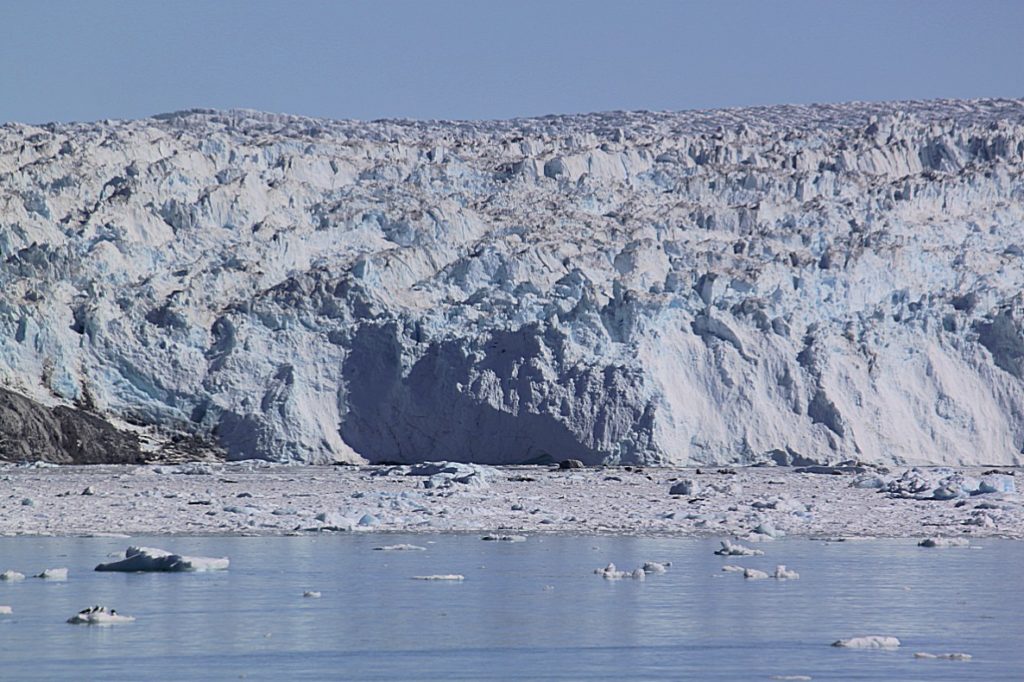 The edge of the glacier covers 3.4 kilometers.
The average height from top to bottom is about 200 meters, of which 30 of the 80 meters are above sea level.
Getting extremely close to the glacier edge by boat is not normal. Often it is too dangerous or even impossible. The Sermeq Kujalleq glacier at the base of theKangia icefjord can’t be reached by boat because of all the icebergs in its fjord. It can be reached by helicopter, as The wandelgek did (see one of my previous blogs and the many vlogs of that visit).
Just like Sermeq Kujalleq, the large glacier at the Kangia Icefjord near Ilulissat, the Eqip Sermia Glacier was retreating because more ice is melting in summer than new ice is formed in winter. This is why it slowly crawl back from the water on to the land. At the lower part of the edge, the rocks of the land are now visible, whilst for many years the glacier tongue had been floating on the water surface…
Frazil ice is a collection of loose, randomly oriented, plate or discoid ice crystals formed in supercooled turbulent water. Frazil ice formation is common during the winter in rivers and lakes located in northern latitudes, and usually forms in open-water reaches of rivers where and when the heat exchange between the air and the water is such that the water temperature can drop below its freezing point (typically not lower than -0.1 °C in rivers). As a rule of thumb, such conditions may happen on cold and clear nights, when the air temperature is lower than −6 °C (21 °F). Frazil ice also forms in oceans, where it is often referred to as grease ice when floating on the surface.
Frazil ice is notorious for blocking water intakes as crystals accumulate and build up on the intake trash rack. Such blockages negatively impact water supply facilities, hydropower plants, nuclear power facilities, and vessels navigating in cold waters, and can lead to unexpected shut downs of the facility or even collapse of the trash rack.
Nilas ice is a thin elastic crust of ice, easily bending on waves and swell and under pressure, thrusting in a pattern of interlocking “fingers” (finger rafting). Has a matt surface and is up to 10cm in thickness. May be subdivided into dark nilas and light nilas.
Dark nilas is < 5cm thick and very dark in colour. Light nilas is 5-10cm thick and reflects proportionately more light than dark nilas, depending on its thickness.
Fast ice (also called land-fast ice, landfast ice, and shore-fast ice) is sea ice that is “fastened” to the coastline, to the sea floor along shoalsor to grounded icebergs. Fast ice may either grow in place from the sea water or by freezing pieces of drifting ice to the shore or other anchor sites. Unlike drift (or pack) ice, fast ice does not move with currents and winds.
Pancake ice is a form of ice that consists of round pieces of ice with diameters ranging from 30 centimetres (12 in) to 3 metres (9.8 ft), depending on the local conditions that affect ice formation. It may have a thickness of up to 10 centimetres (3.9 in). Pancake ice features elevated rims formed by piling the frazil ice/slush/etc. up the edges of pancakes when they collide, both due to random bumping into each other and because of periodic compressions at wave troughs. These rims are the first indication of the onset of the formation of the pancake ice from less consolidated forms of ice.
Pancake ice may be formed in two ways. It may be formed on water covered to some degree in slush, shuga or grease ice. Alternatively, it may be created by breaking ice rind, nilas or even gray ice in the agitated conditions.
An ice floe or ice float is a large pack of floating ice often defined as a flat piece at least 20 m across at its widest point, and up to more than 10 km across. Drift ice is a floating field of sea ice composed of several ice floes. They may cause ice jams on freshwater rivers, and in the open ocean may damage the hulls of ships.
A floeberg is a mass of hummocky floe ice resembling an iceberg (but we already learned that icebergs are pieces of land ice broken from glaciers).
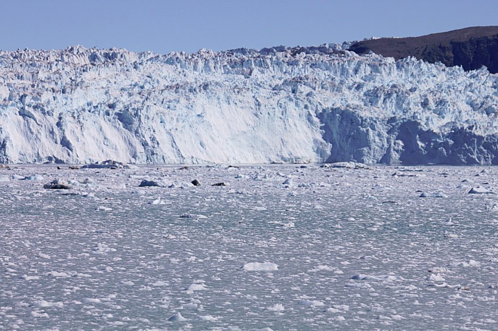
 Eqip Sermia
Eqip Sermia is a glacier in Greenland (the Kingdom of Denmark). It is located in the municipality of Qaasuitsup, in the central part of Greenland, 600 km north of the capital Nuuk. Eqip Sermia is located 333 meters above sea level.
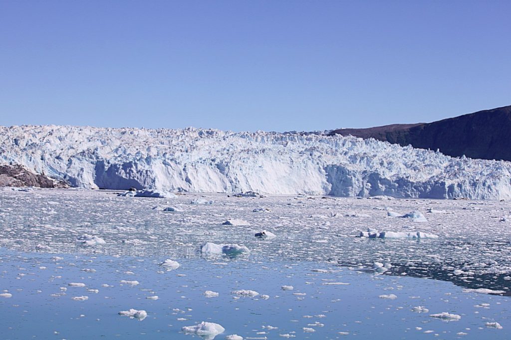 The terrain around Eqip Sermia is mainly hilly, but the closest surroundings are flat. The highest point nearby is 462 meters above sea level, 1.0 km northeast of Eqip Sermia, with less than two inhabitants per square kilometer. There are no communities nearby. The area around Eqip Sermia is permanently covered with ice and snow.
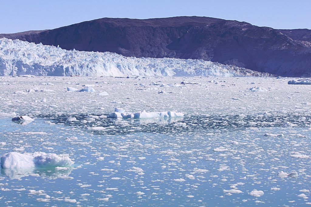 Eqip Sermia is a very active glacier. In summer, every ten to twenty minutes, pieces of ice calved off the over 100 metres high glacier front and plunged down into the icecold water causing a mini tsunami to roll through the bay towards the opposite coast.
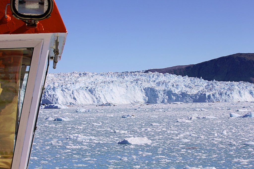 The Inland Ice Sheet is full of air. The Inland Ice Sheet is made of snow and when densely packed, it becomes ice. This procedure puts pressure on the air between the snow flakes and results in air bubbles. When the glacier calves, the air is released and this is what creates the explosion-like sounds.
Ice calving, also known as glacier calving or iceberg calving, is the breaking of ice chunks from the edge of a glacier. It is a form of ice ablation or ice disruption and is normally caused by the glacier expanding. It is the sudden release and breaking away of a mass of ice from a glacier, iceberg, ice front, ice shelf, or crevasse. The ice that breaks away can be classified as an iceberg, but may also be a growler, bergy bit, or a crevasse wall breakaway.
Calving of glaciers is often accompanied by a loud cracking or booming sound before blocks of ice up to 60 metres (200 ft) high break loose and crash into the water. The entry of the ice into the water causes large, and often hazardous waves. The waves formed in locations like Johns Hopkins Glacier can be so large that boats cannot approach closer than 3 kilometres (1.9 mi). These events have become major tourist attractions in locations such as Alaska.
Many glaciers terminate at oceans or freshwater lakes which results naturally with the calving of large numbers of icebergs. Calving of Greenland’s glaciers produce 12,000 to 15,000 icebergs each year alone.
Calving of ice shelves is usually preceded by a rift. These events are not often observed.
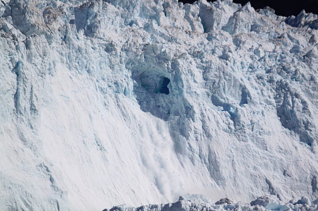
 Notice the little seabirds fly by 🙂
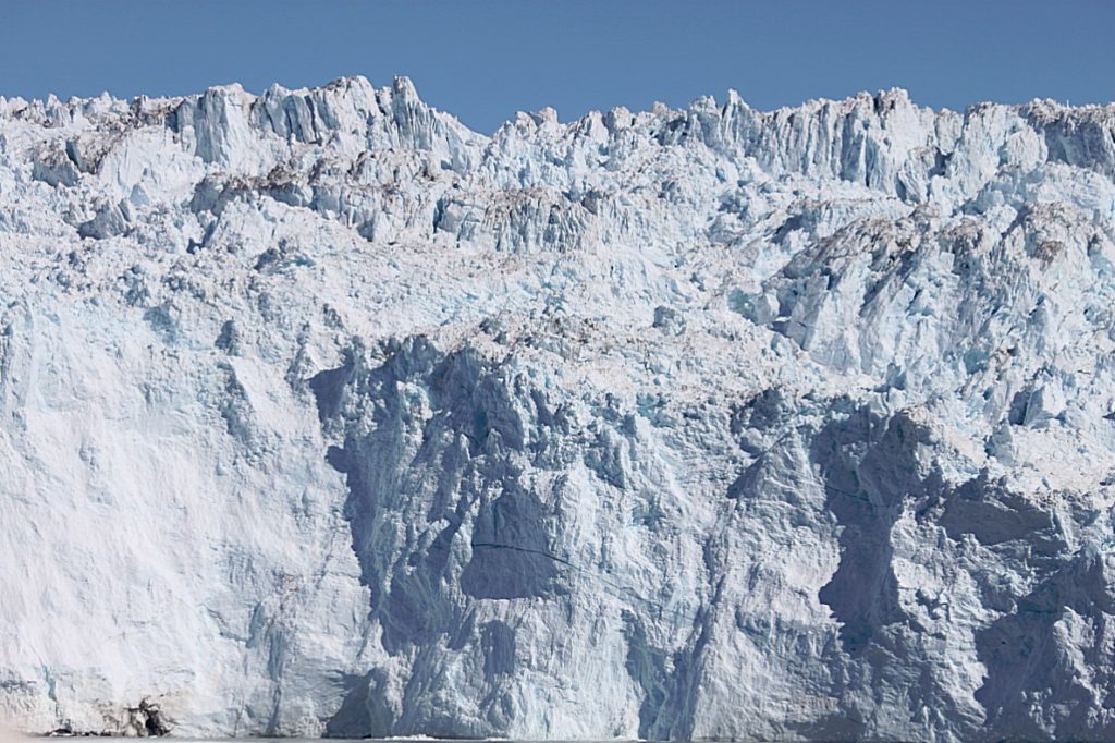 After looking at some ice calvings, the ship turned towards that opposite coast where we unboarded.
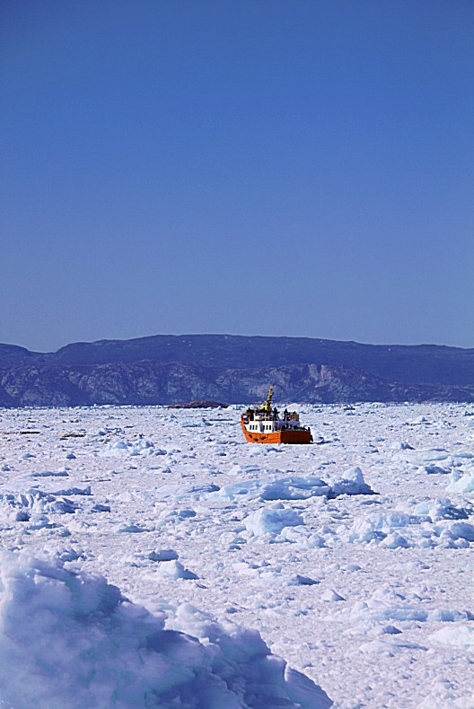
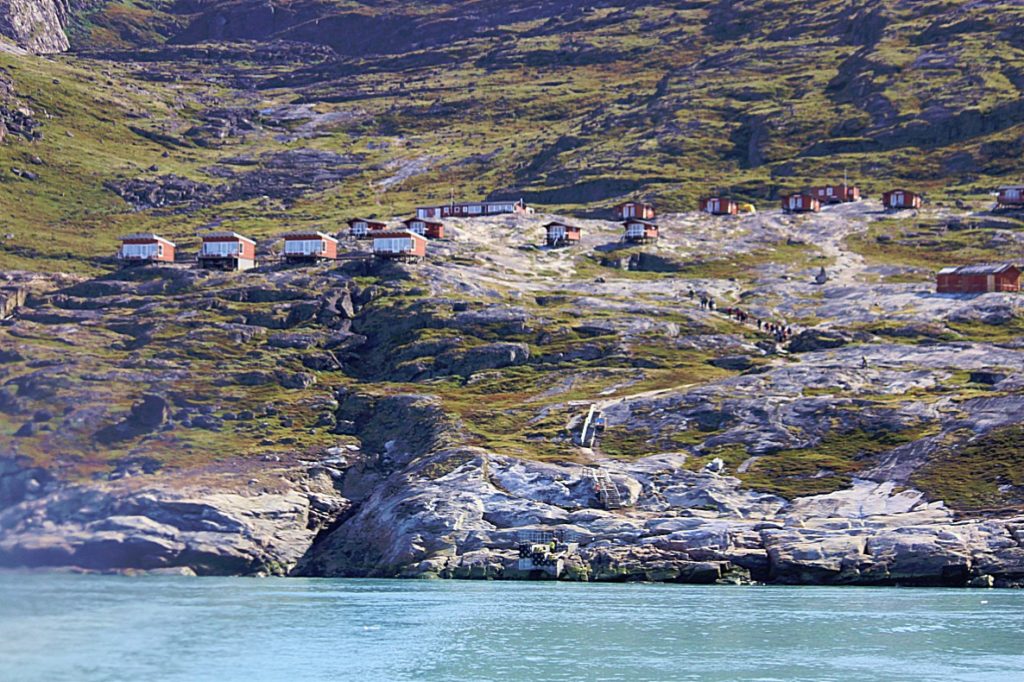
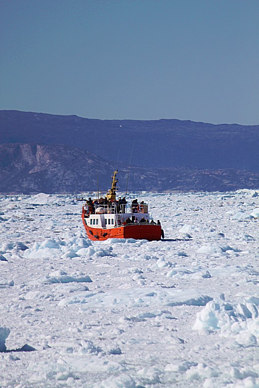 If you have more than one day available, like The Wandelgek did have available, then it is a very good idea to do as he did and to spoil yourselfwith one or several days at the Glacier Lodge Eqi (Eqi Glacier Camp), which has 15 cabins available located around the Café Victor. From these cabins you can see and hear the calving glacier; a very meditative way to spend time and enjoy the fireworks of nature.
More important however; the area around the Eqi glacier Lodge and the Eqip Sermia Glacier are a wonderful area for walking, hiking and trekking and that is very attractive to people who are wandelgek, like The Wandelgek 😉
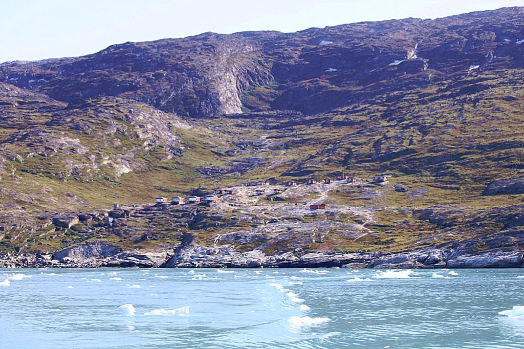 Above the Eqi Glacier Camp (Eqi Glacier Lodge) high above water level…
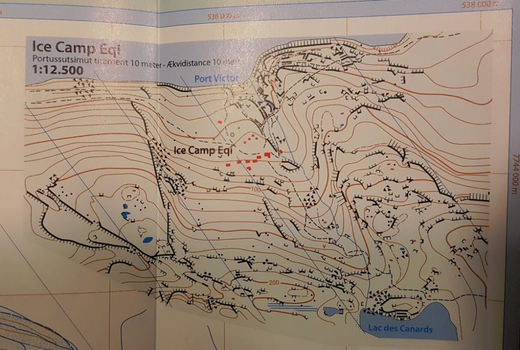 The red buildings on the map above are part of the Eqi Glacier Camp…
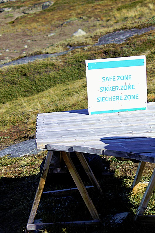
After unboarding, we needed to ascend quickly for 100 metres on a steep cliff, to get into safety for the mentioned mini tsunamies.
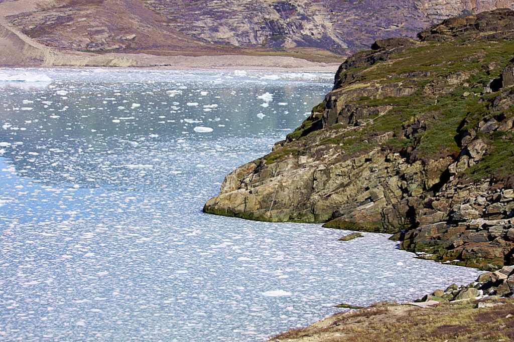 From this high point the view over the bay, towards the glacier and the ship leaving again returning to Ilulissat was fabulous.
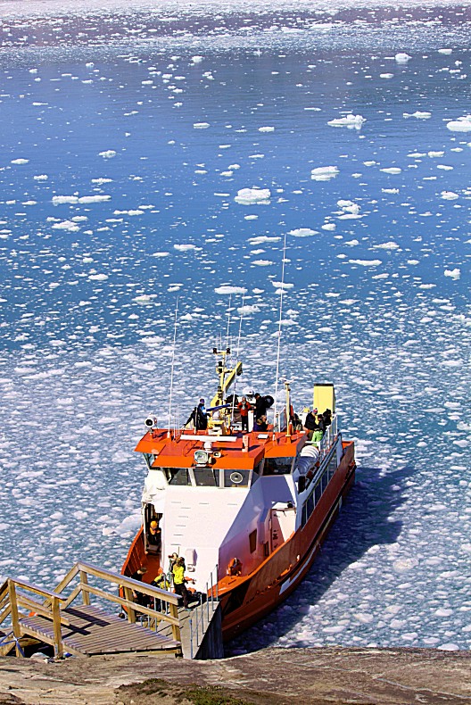
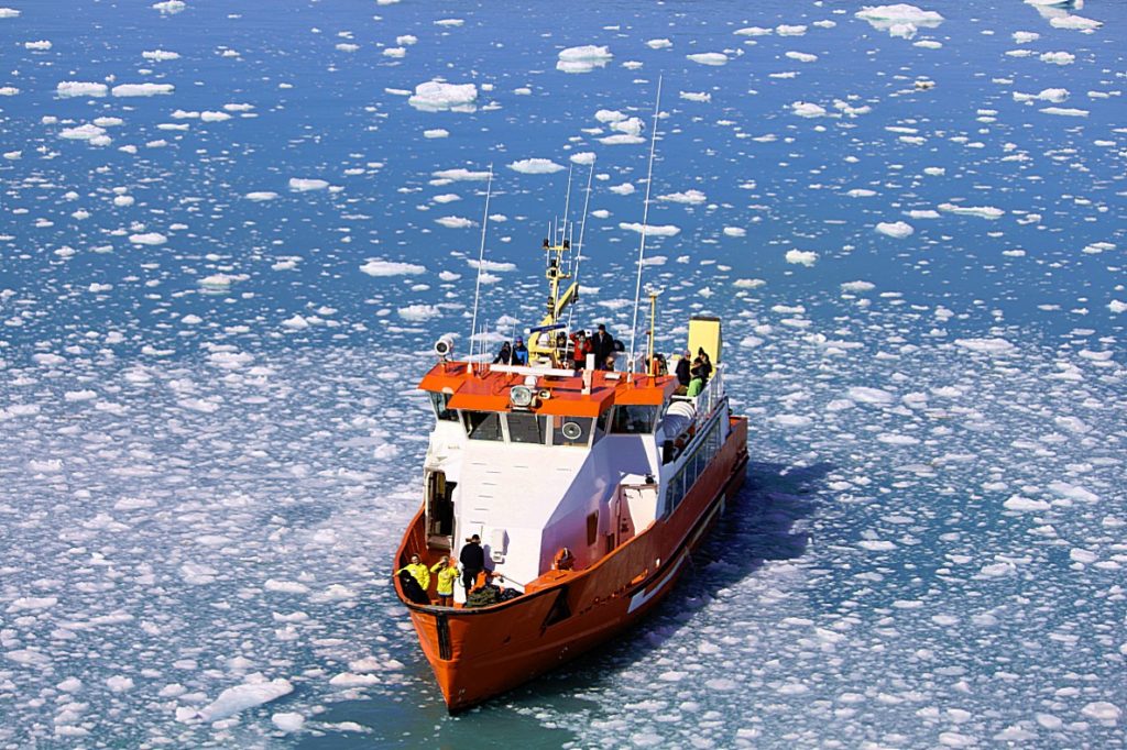
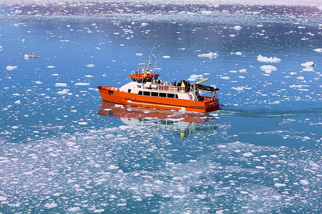
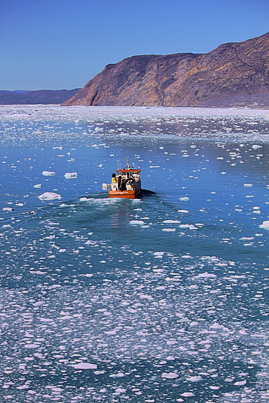
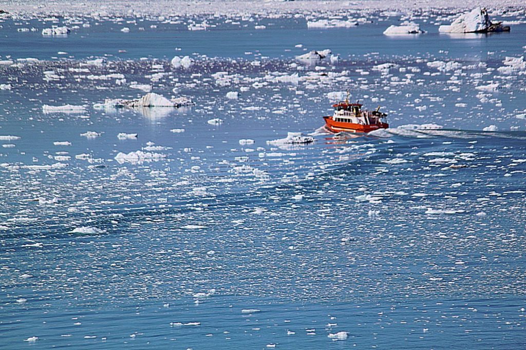
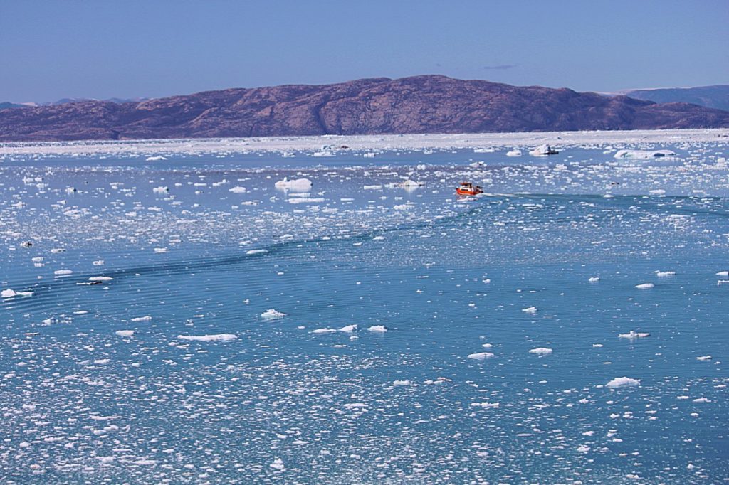 From here we had to climb even more and it was still a steep climb (because of this steep climb it is adviced to not bring large backpacks and no suitcases), before the steepness lessened and we reached the relatively flat area where the Eqi Glacier Camp and its cabins was located. More of that in my next blog.

