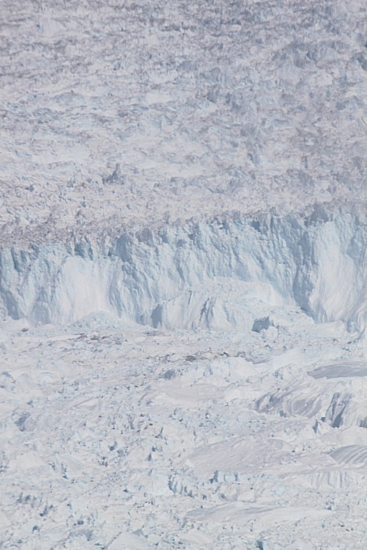
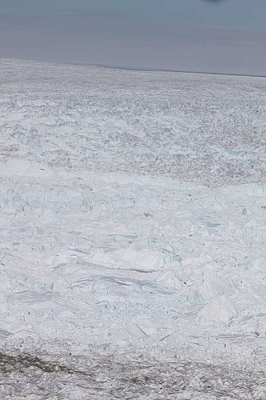
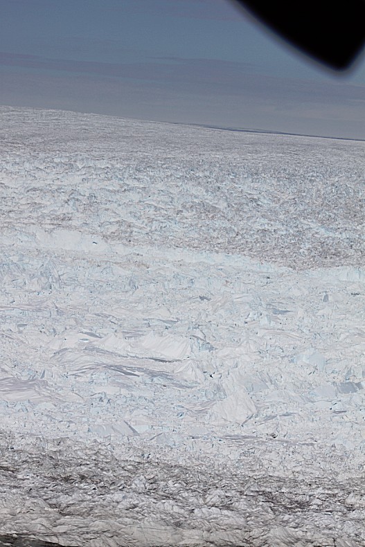
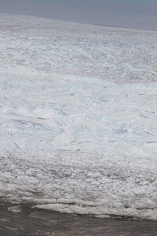
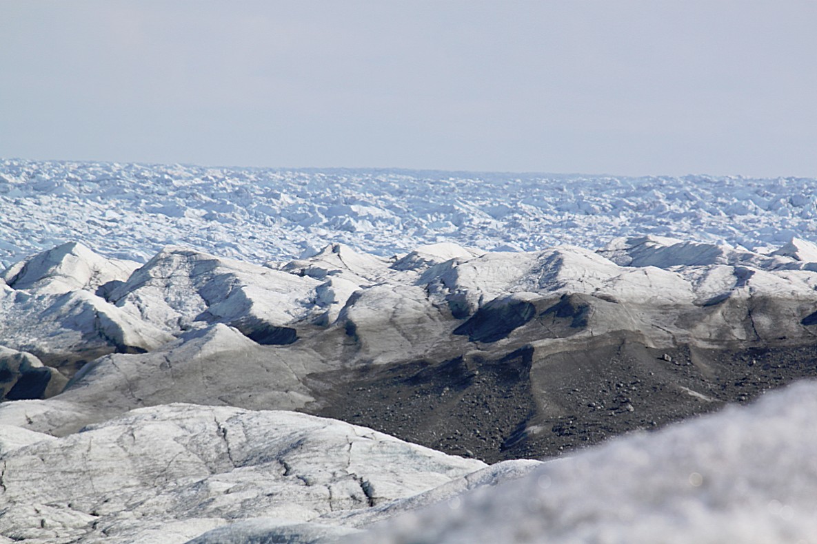
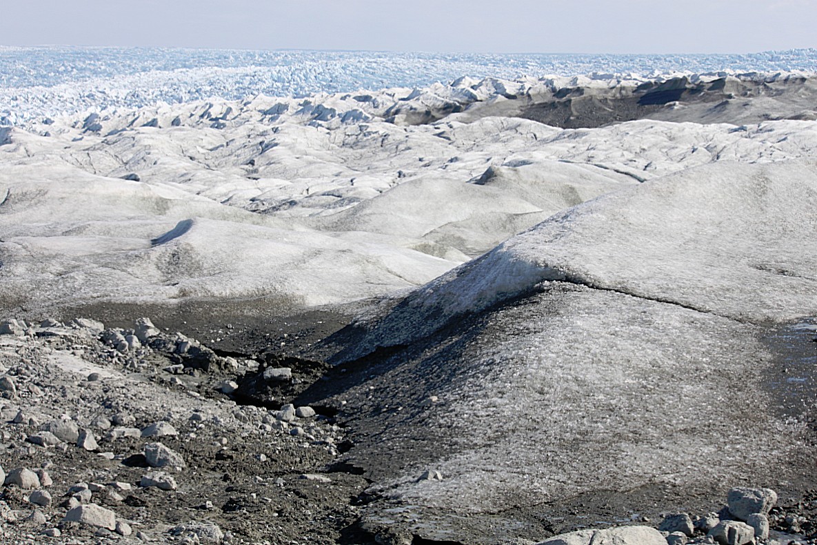
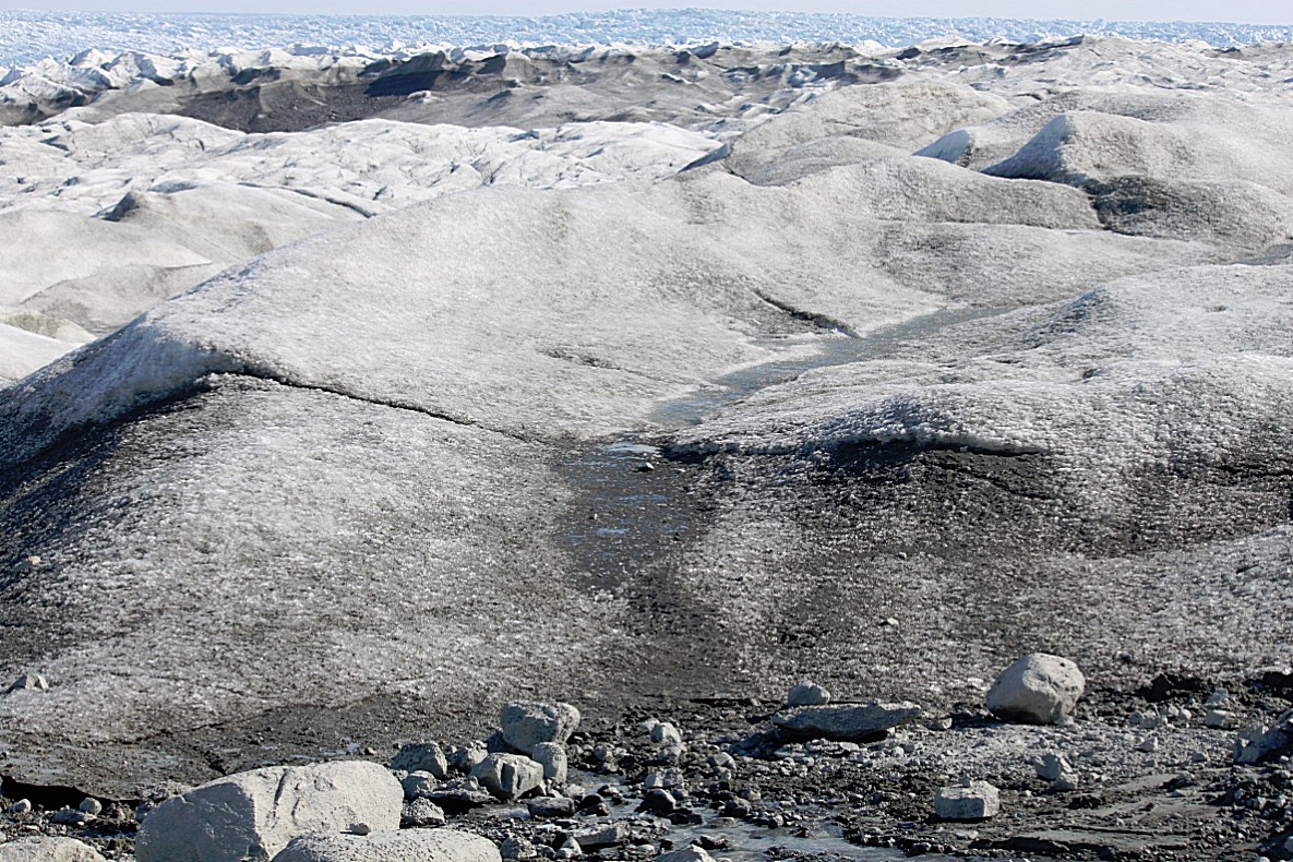
22. Greenland: Helicopter flight to Sermeq Kujalleq glacier – 2017
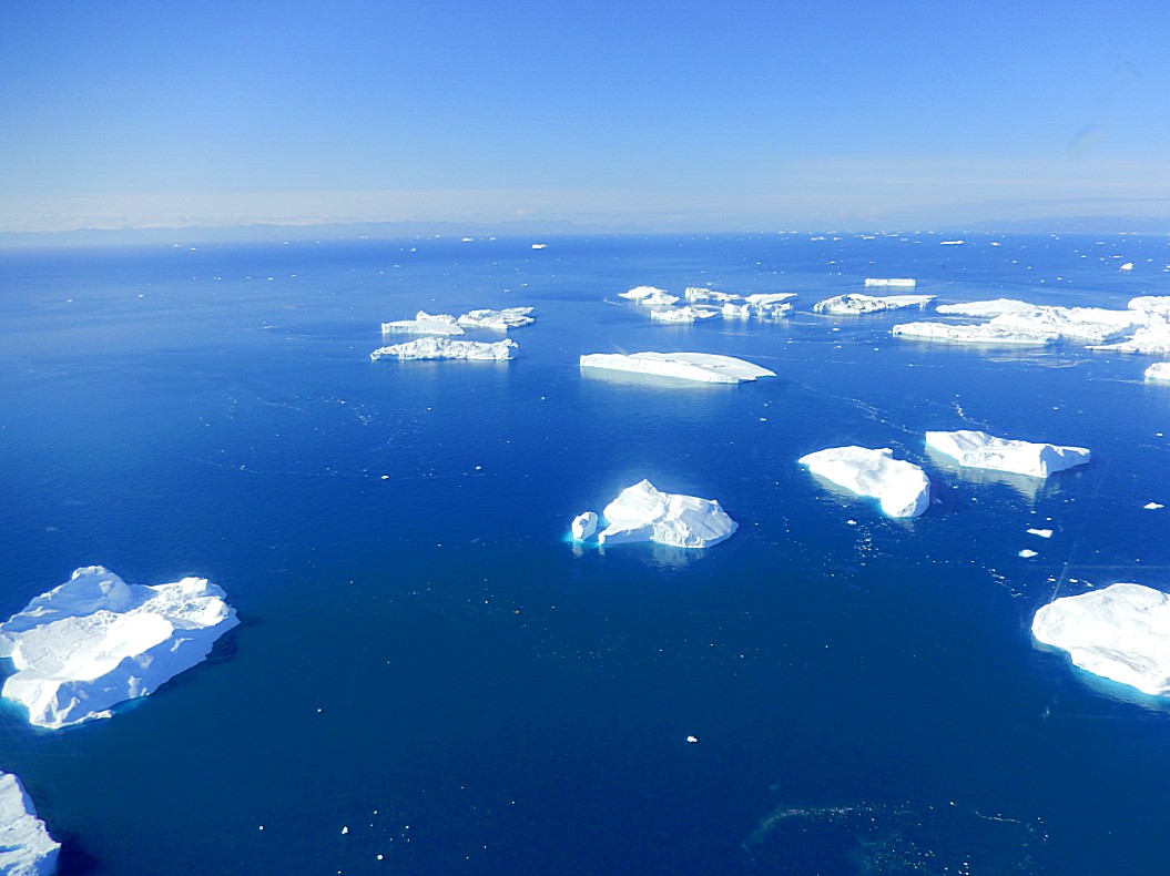
Ever wondered how icebergs look from above? Wonder no more. In Greenland The Wandelgek did this spectacular helicopter tour and the view over the Kangia icefjord was breathtaking …
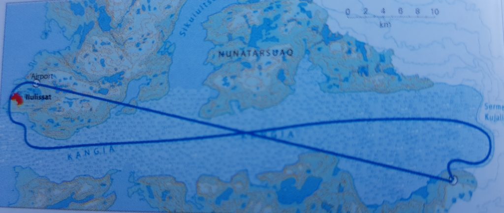
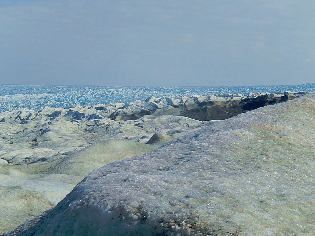
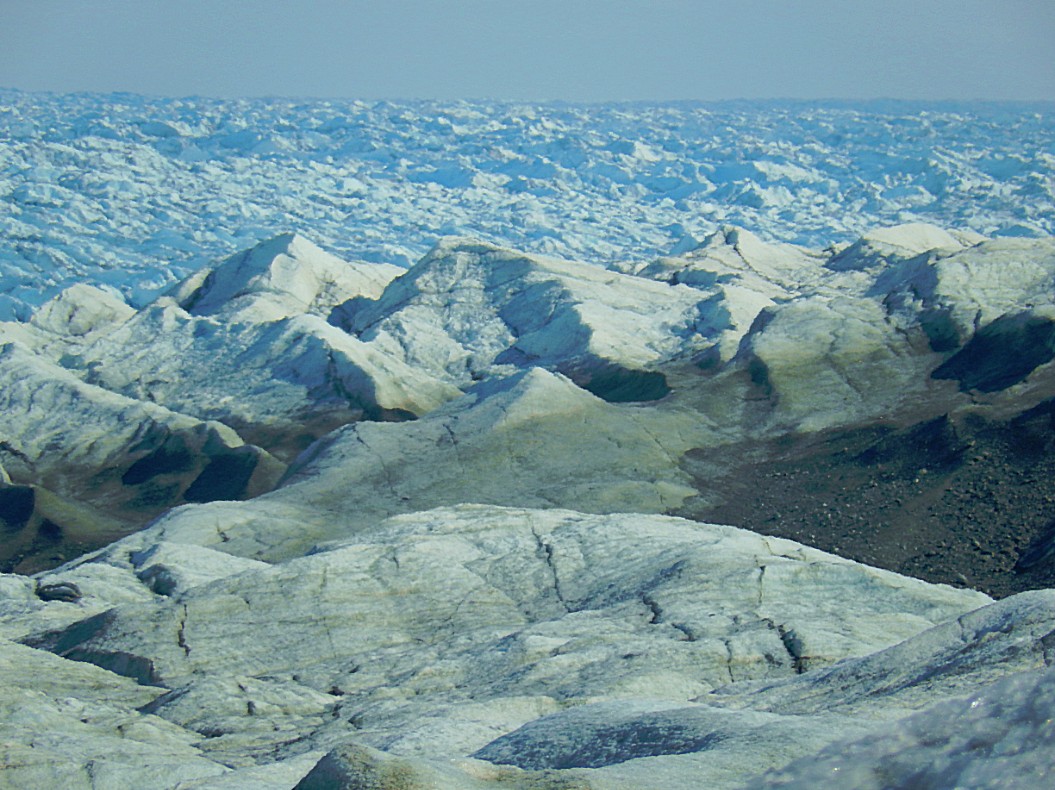
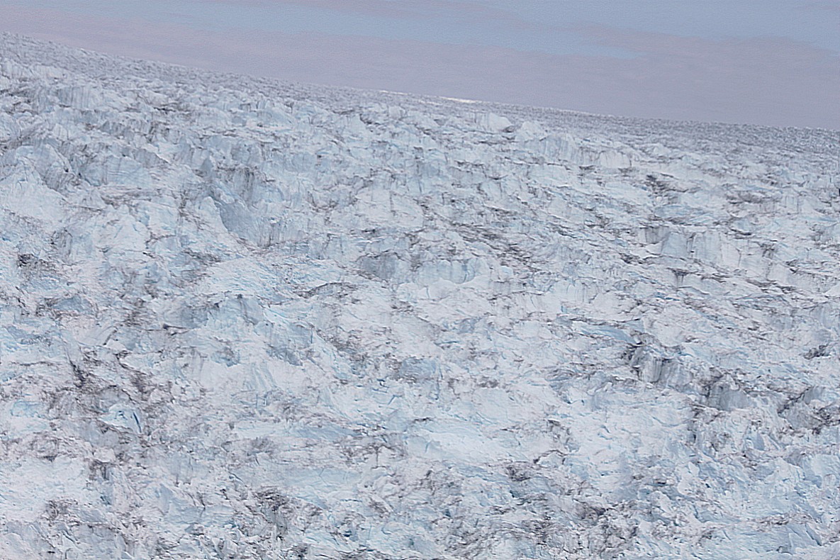
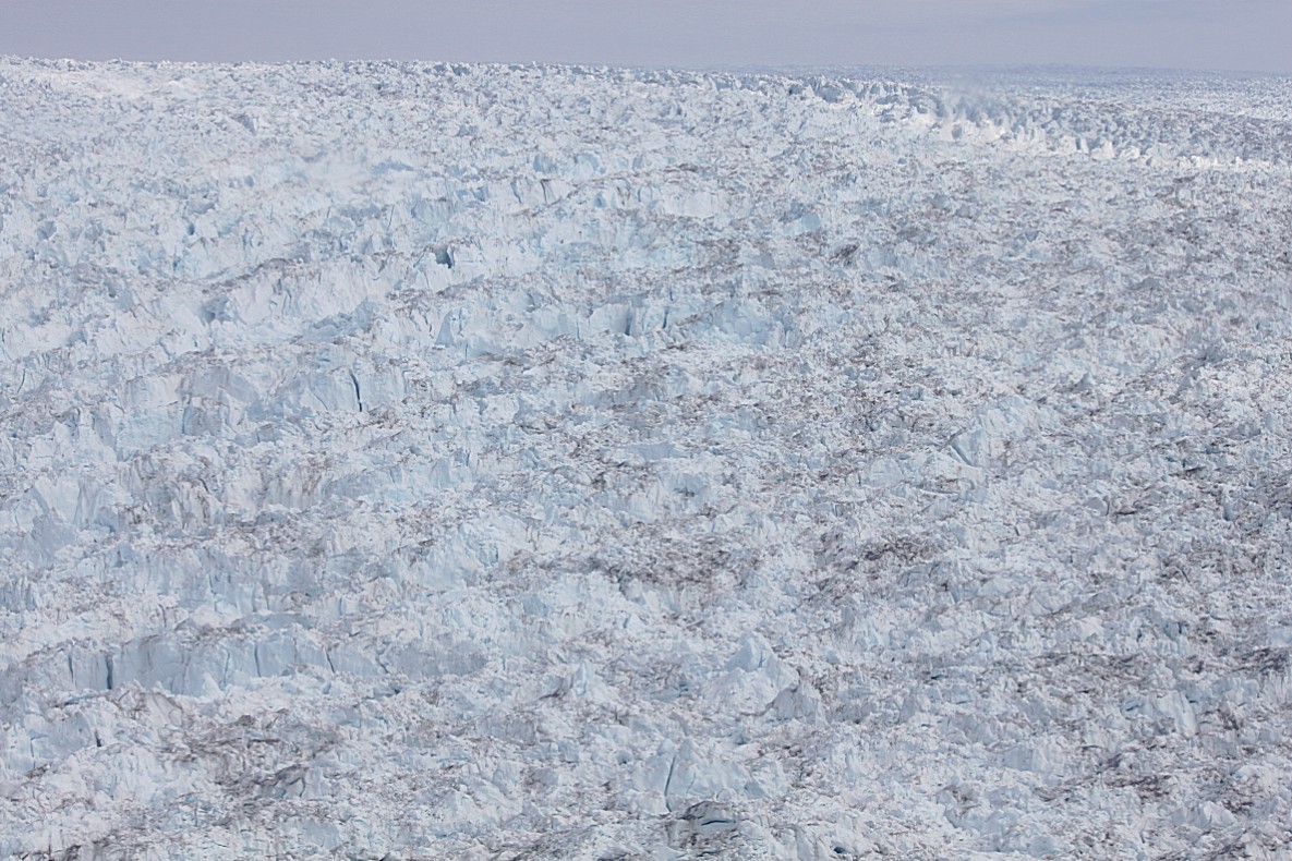
Before I journeyed to Greenland, there was always one thing in my mind that I wanted to do and that was to reach and walk and stand on its main icecap. It is one of the most extreme landscapes in this world, very hostile to human life and to life in general, but also extremely beautiful. After arrival at Kangerlussuaq international airport, I had been to the icecap, but today I would go there for a second time. This time I would be travelling by helicopter and I would fly over the UNESCO World Heritage Site of the Kangia icefjord and it would end at the edge of the impressive Sermeq Kujalleq glacier. This glacier is the most productive glacier on the northern hemisphere and it is of course being effected by climate change (natural and caused by humans). The glacier is therefore being researched extensively and over a long time, to gain data regarding the effect of climate change on these huge ice masses.
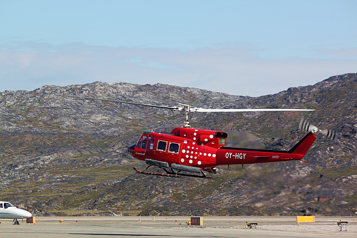
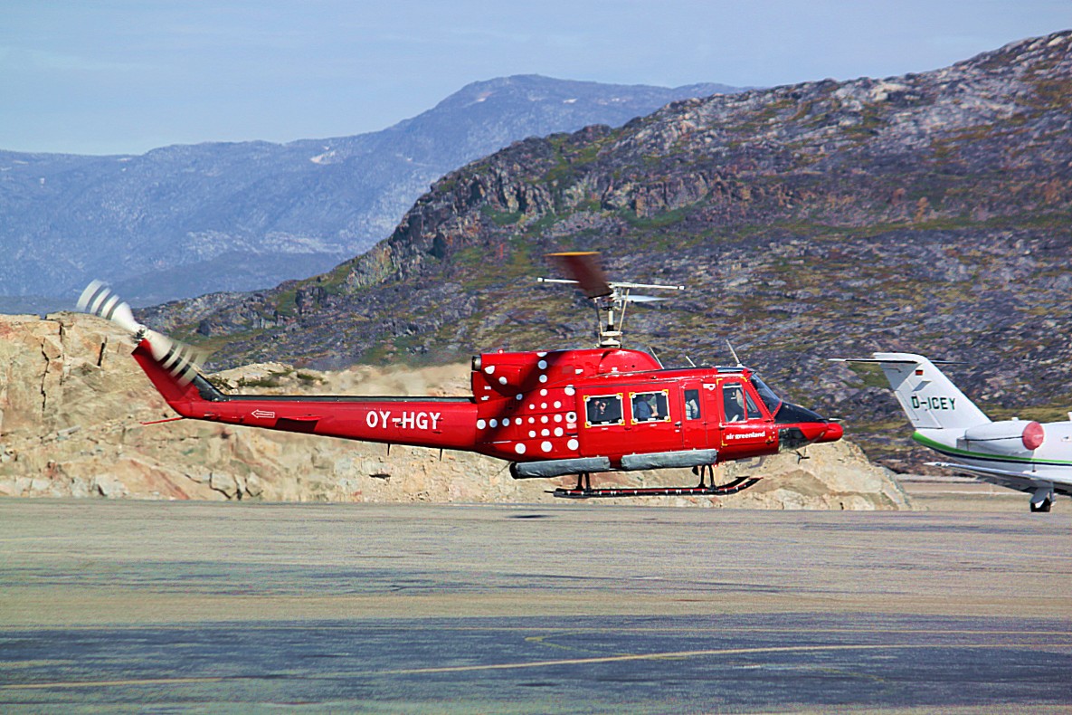
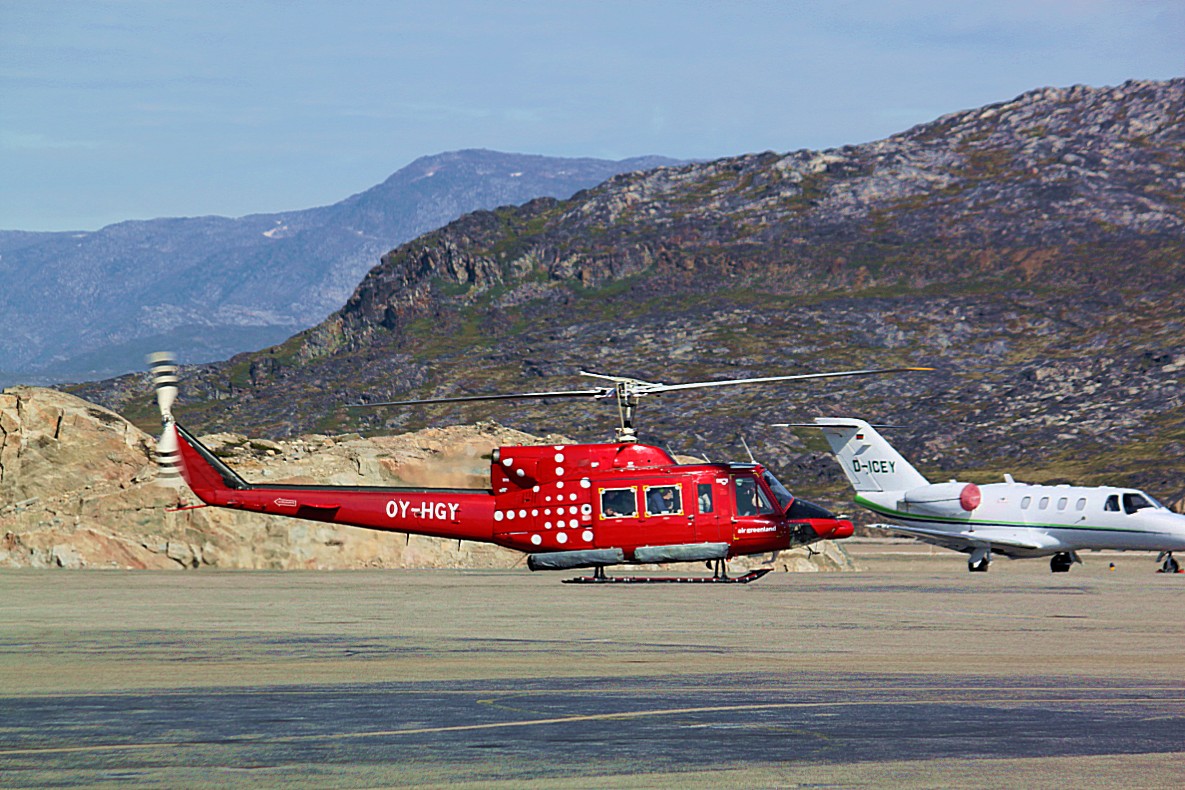
The adventurous journey started at the airport of Ilulissat. Helicopters in Greenland are rare. They are used for multiple purposes. One of those is tourism, but others are transport for locals (Greenland has no roads) and medical transport to hospitals. This also means that tourists or foreign travellers may get postponed whenever the helicopter is needed in an emergency.
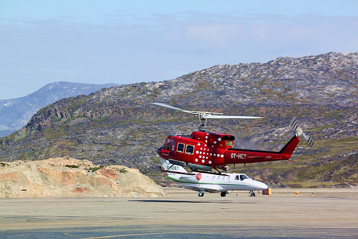
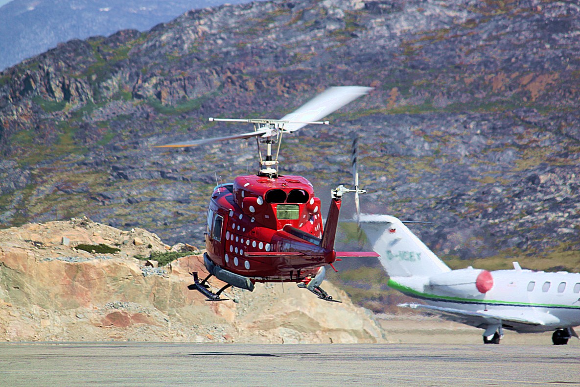
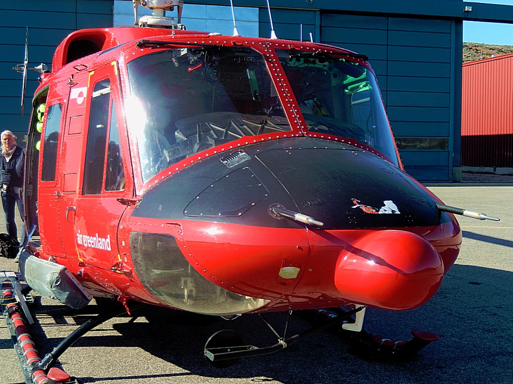
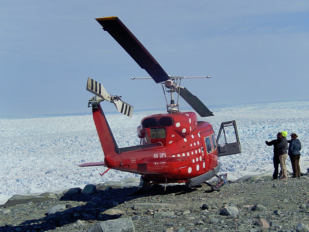
The helicopter in the red colors of Air Greenland landed and…
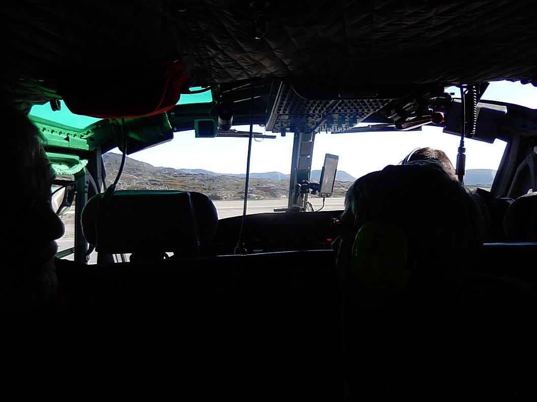
…we boarded the chopper…
If you have the choice between flying in an airplane and a chopper, you should know that a plane is more quiet and has a larger area it can fly over (larger fuel tank) but the chopper can land on difficult or very small spaces whithout an airstrip.
However, a chopper is also quite loud and ear protection is no luxury…
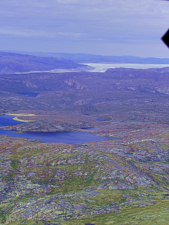
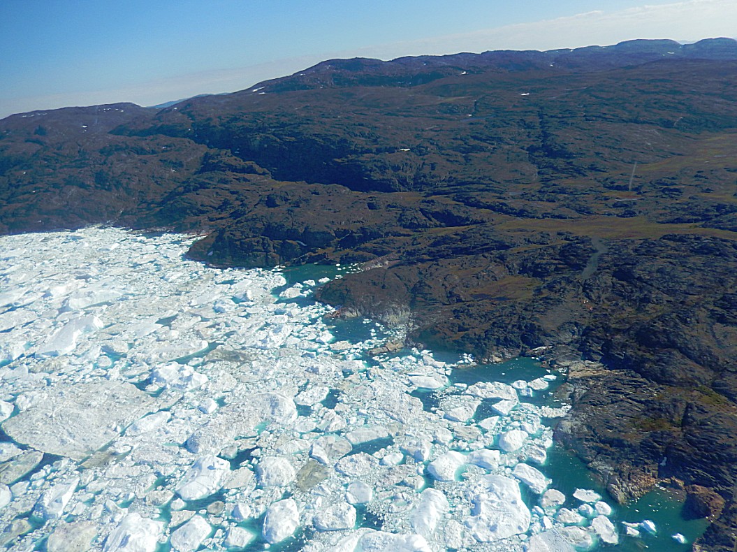
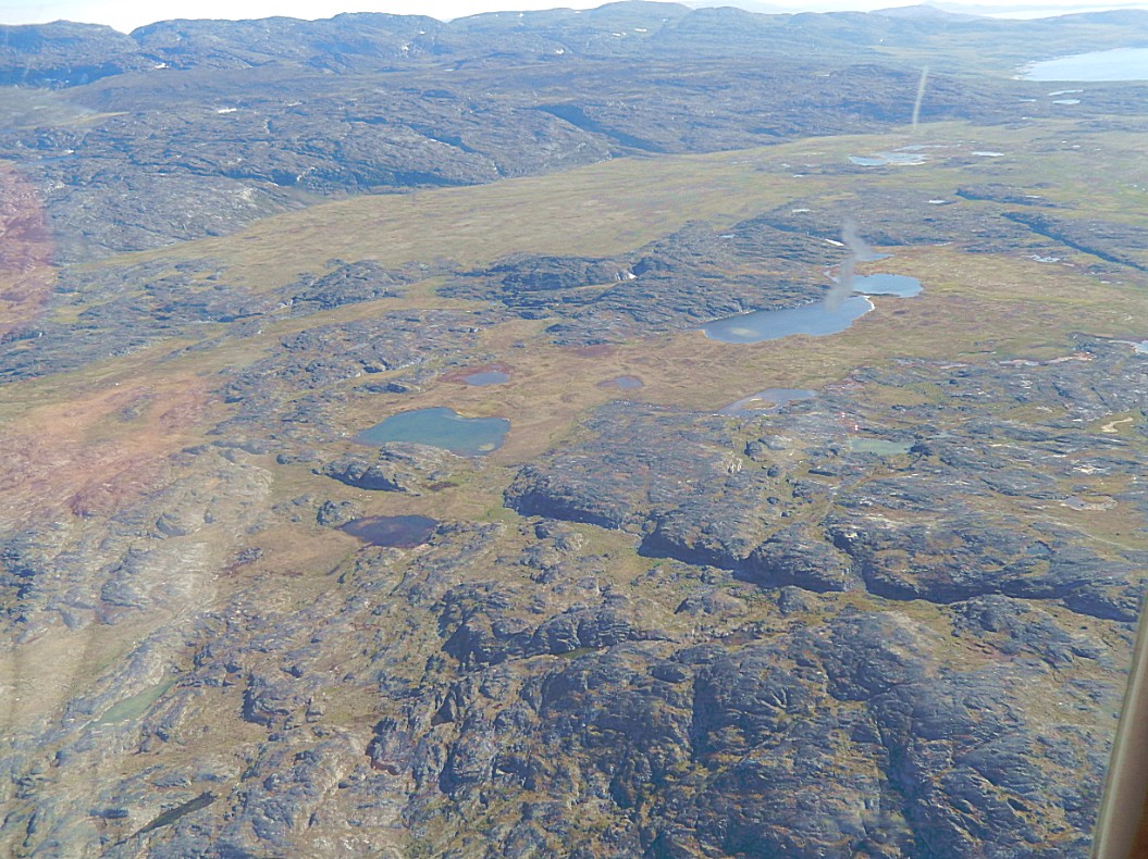
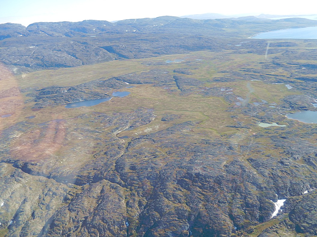
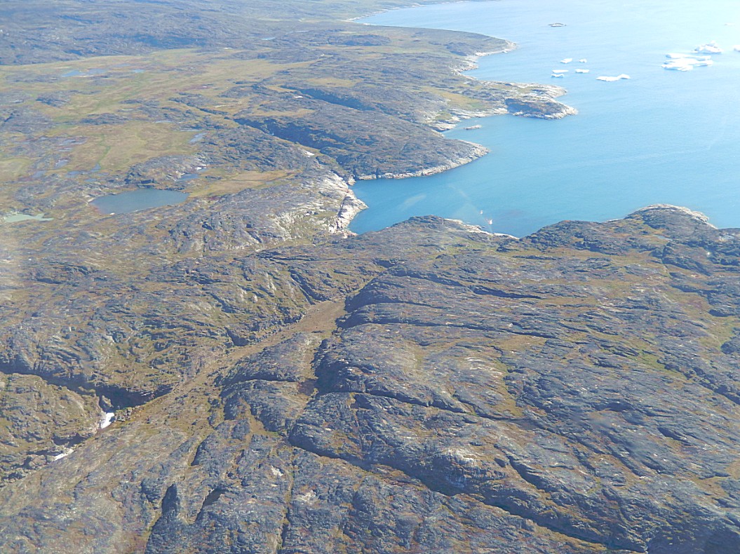
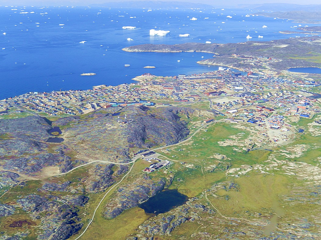
The helicopter lifts off from Ilulissat airport and immediately turns east and I could immediately make some images of the iceworld beneath, and off an arctic tundra world; a typical rocky landscape with large patches of green arctic flora and cool dark blue mountain lakes.
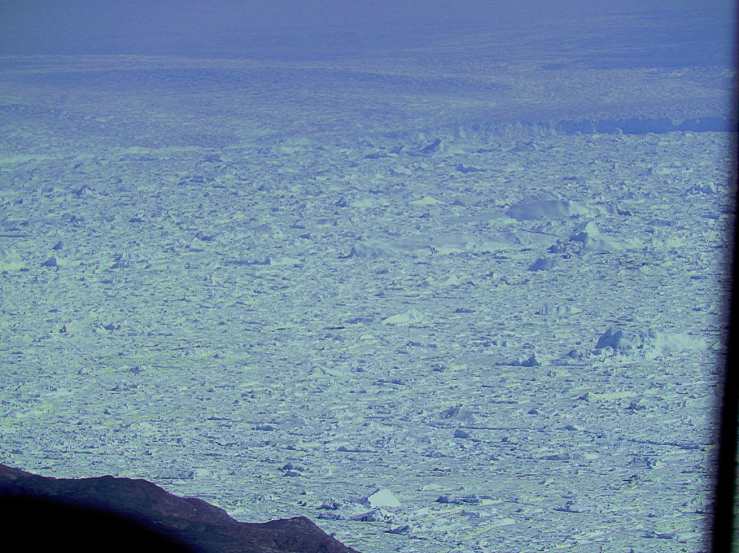
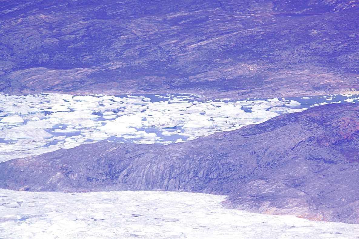
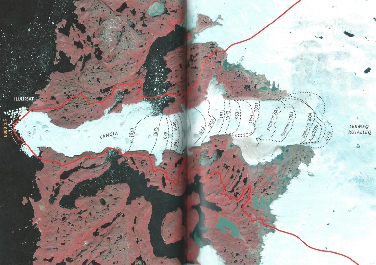
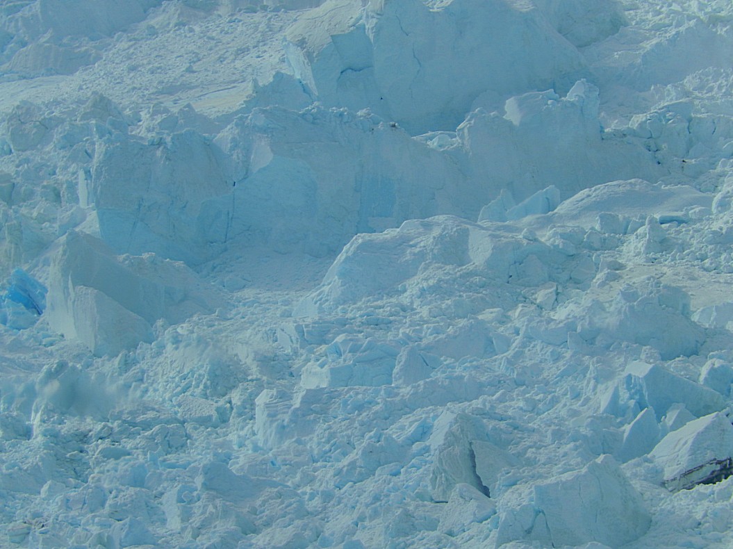
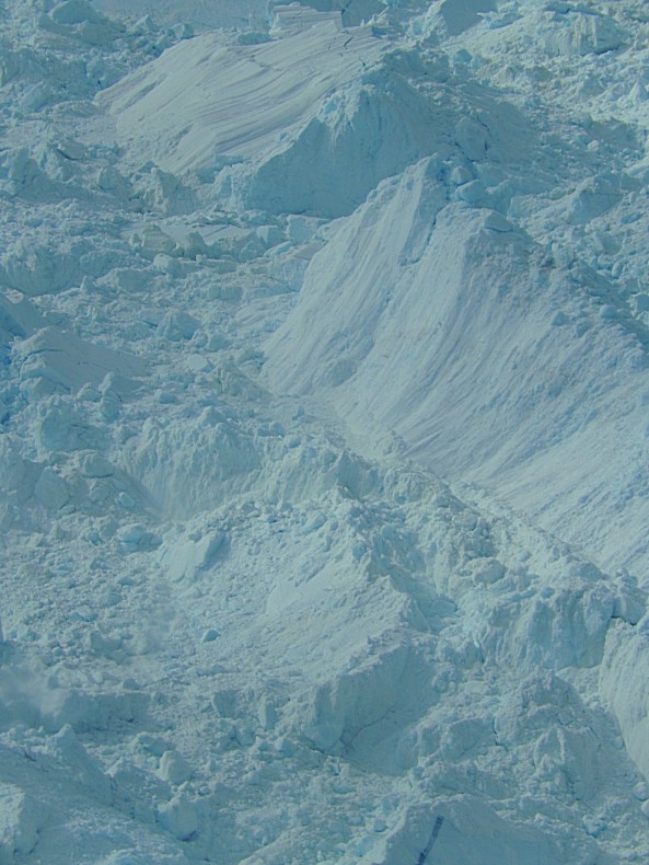
The chopper reaches the Kangia icefjord. It’s surprising to see how many ice per year is released into sea by only one of Greenlands many glaciers.
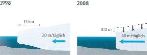
The glacier flows at a rate of 20–35 m (66–115 ft) per day, resulting in around 20 billion tonnes of icebergs calved off and passing out of the fjord every year.
This is enough to provide the US with fresh water for 1 year.
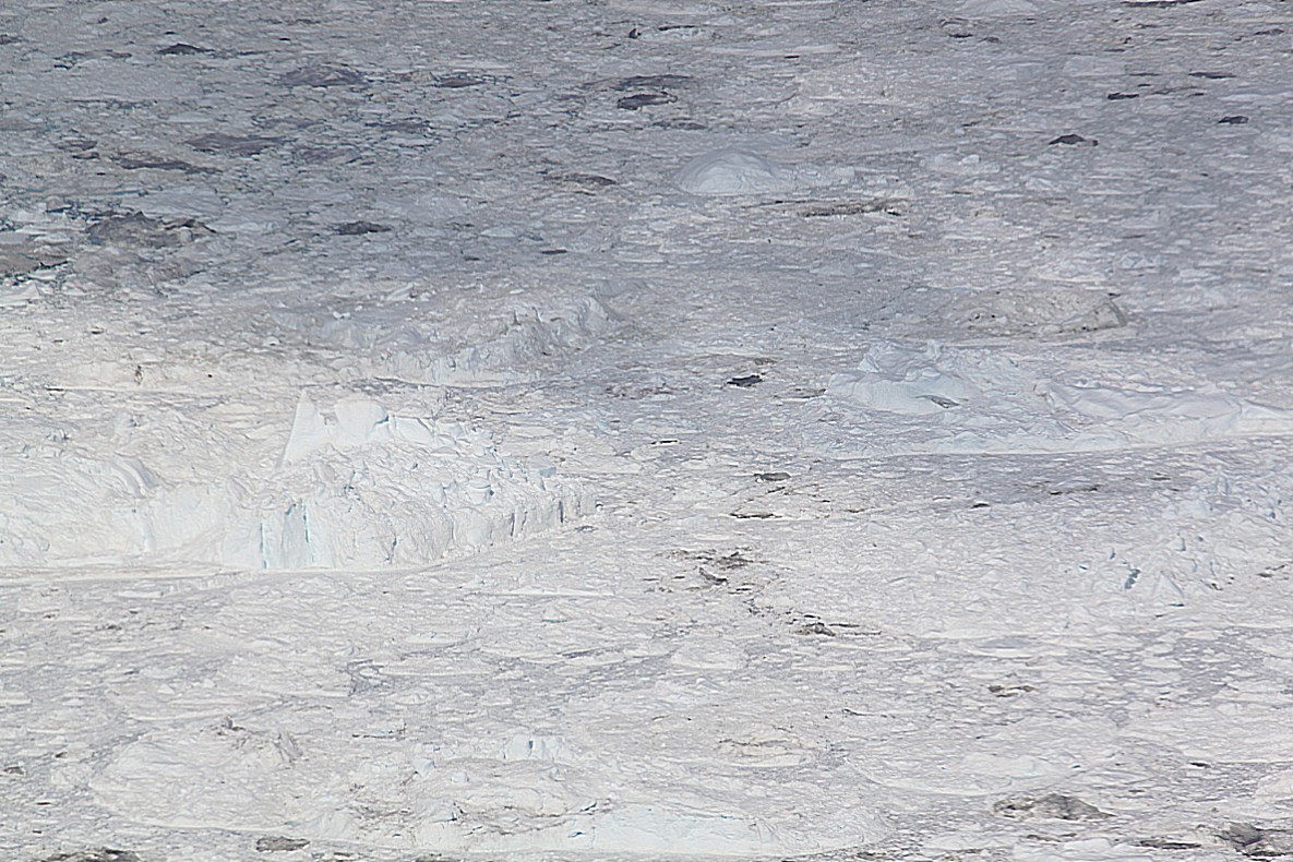
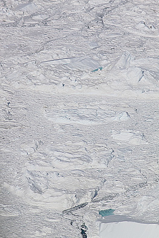
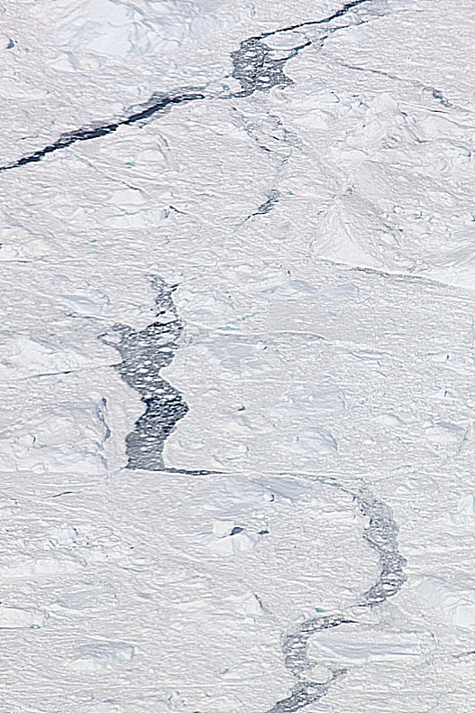
Looking at the earth below from a chopper or plane is like looking down at pieces of finest modern art…
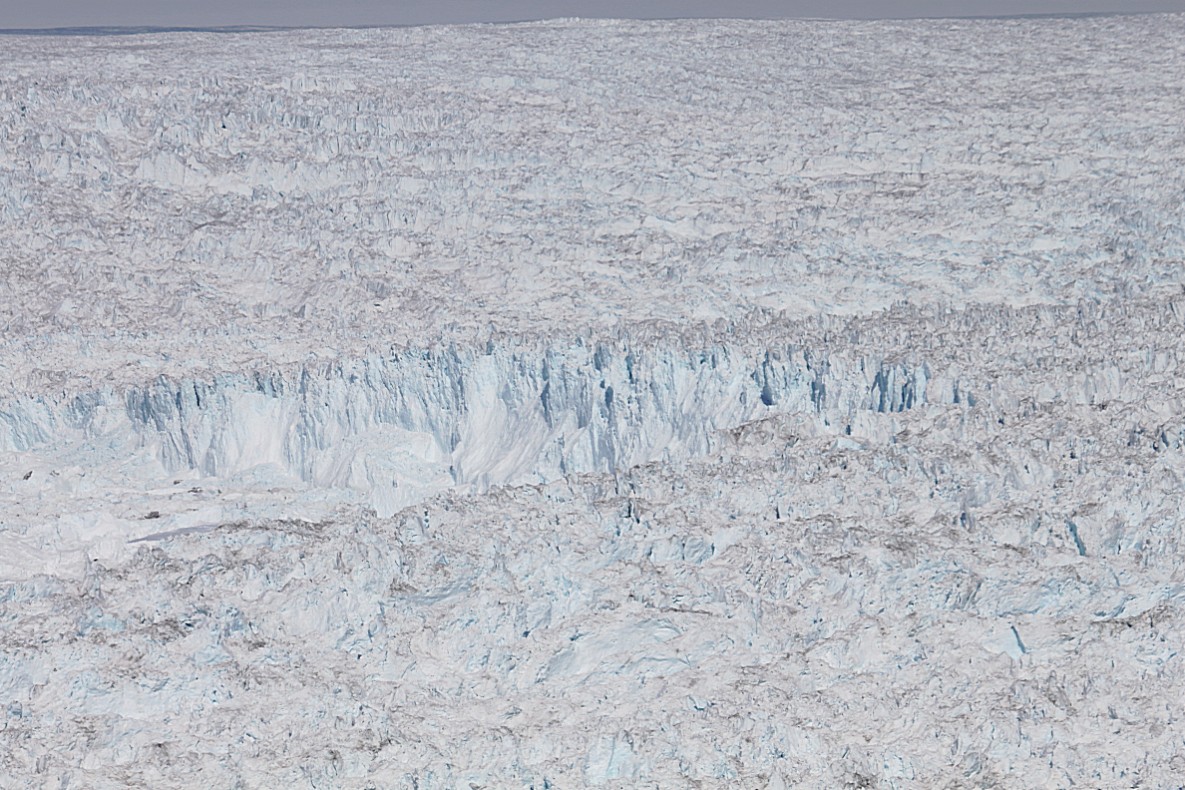
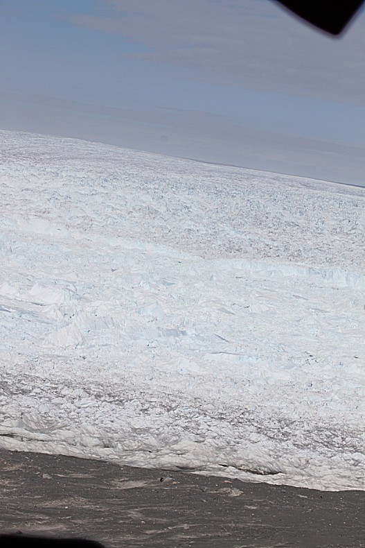
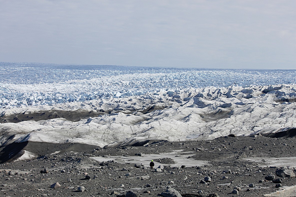
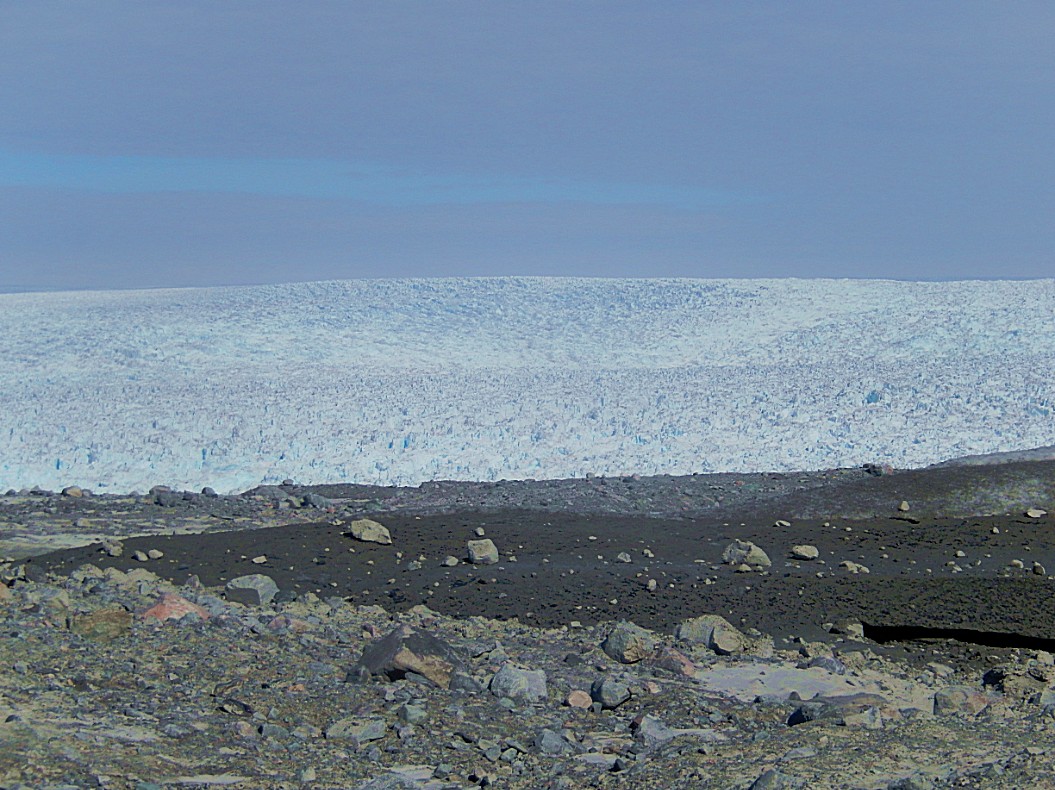
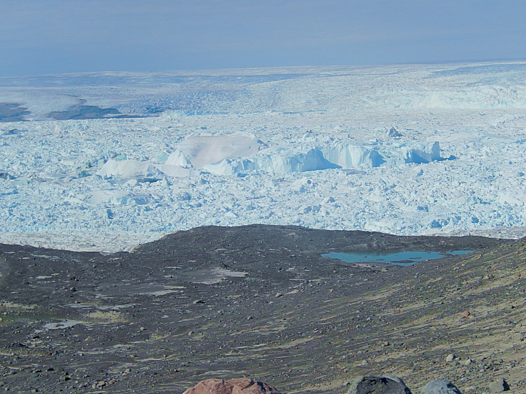
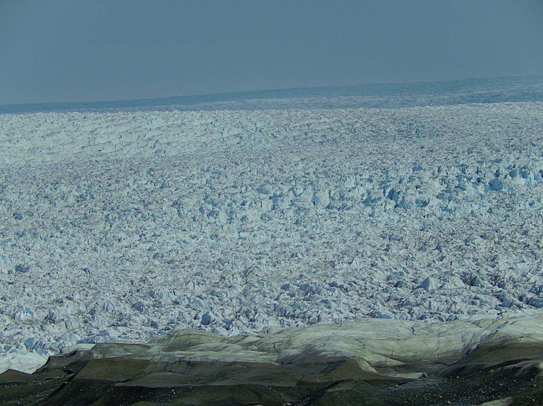
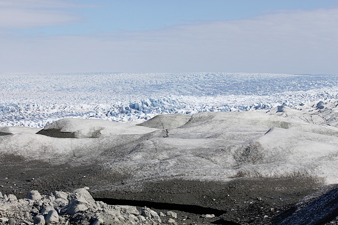
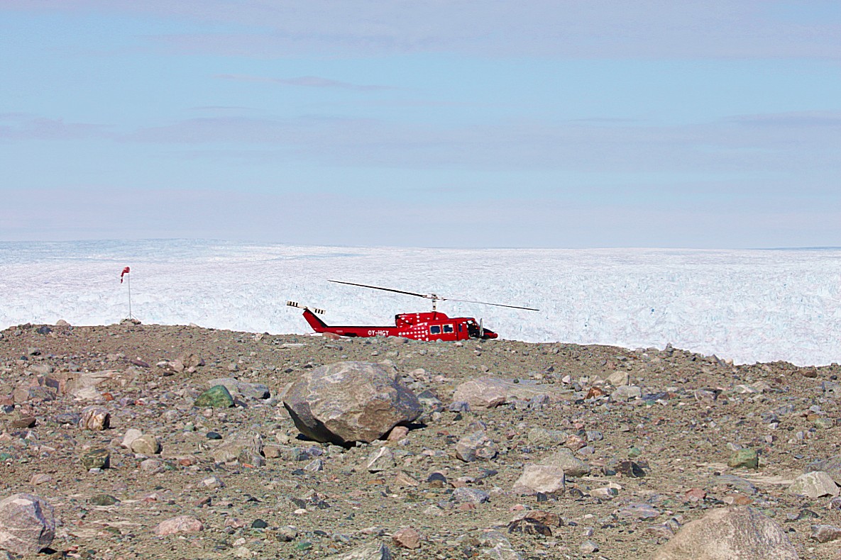
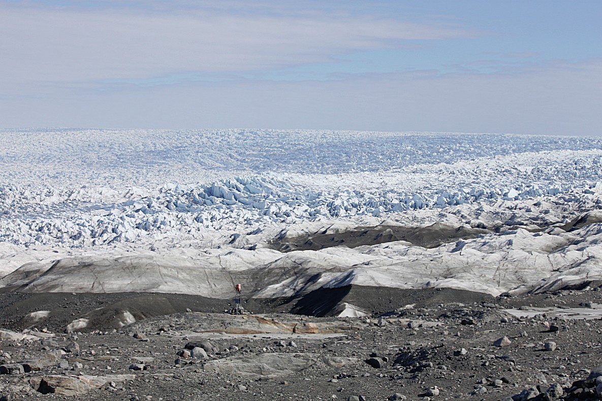
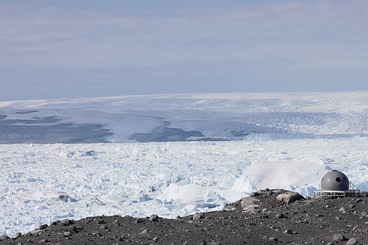
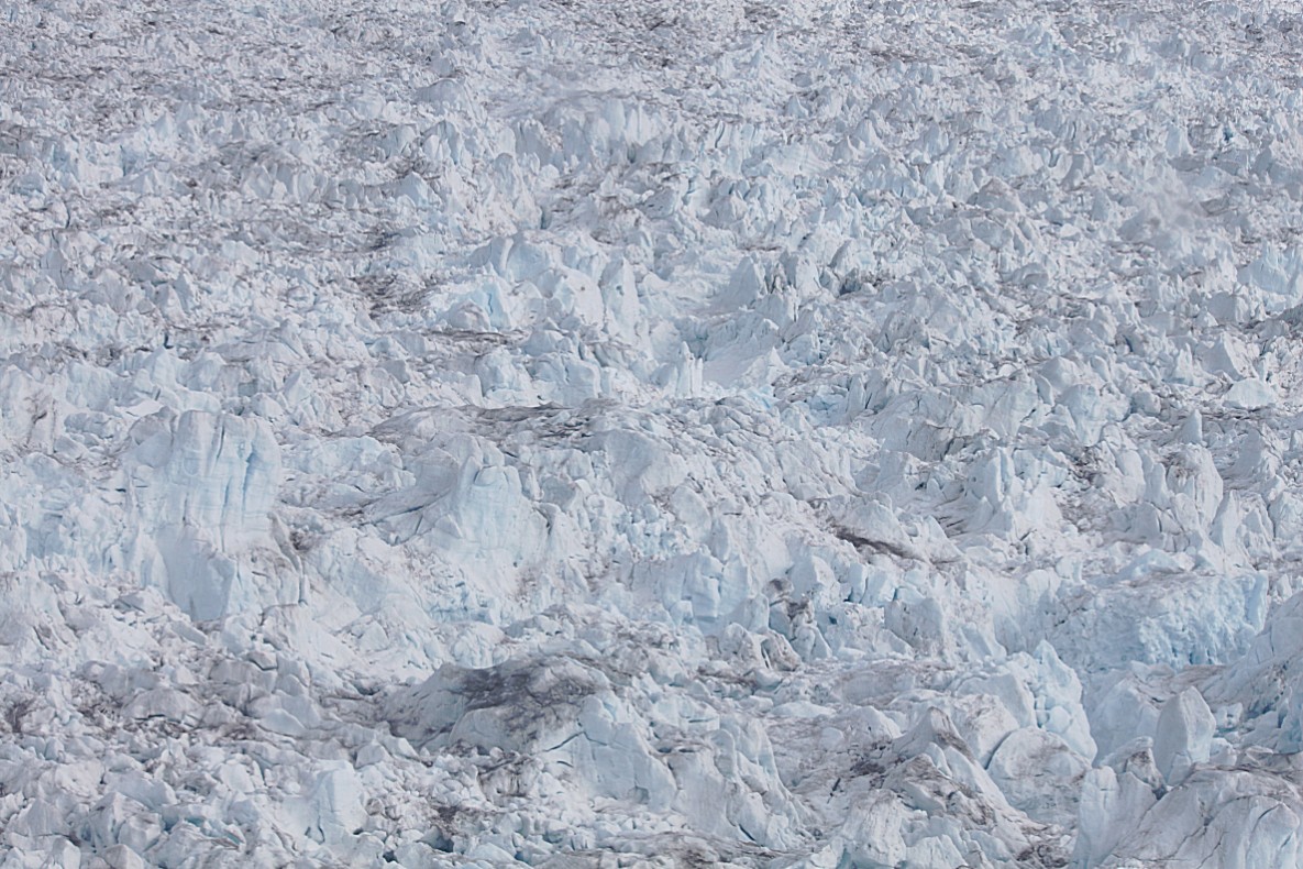
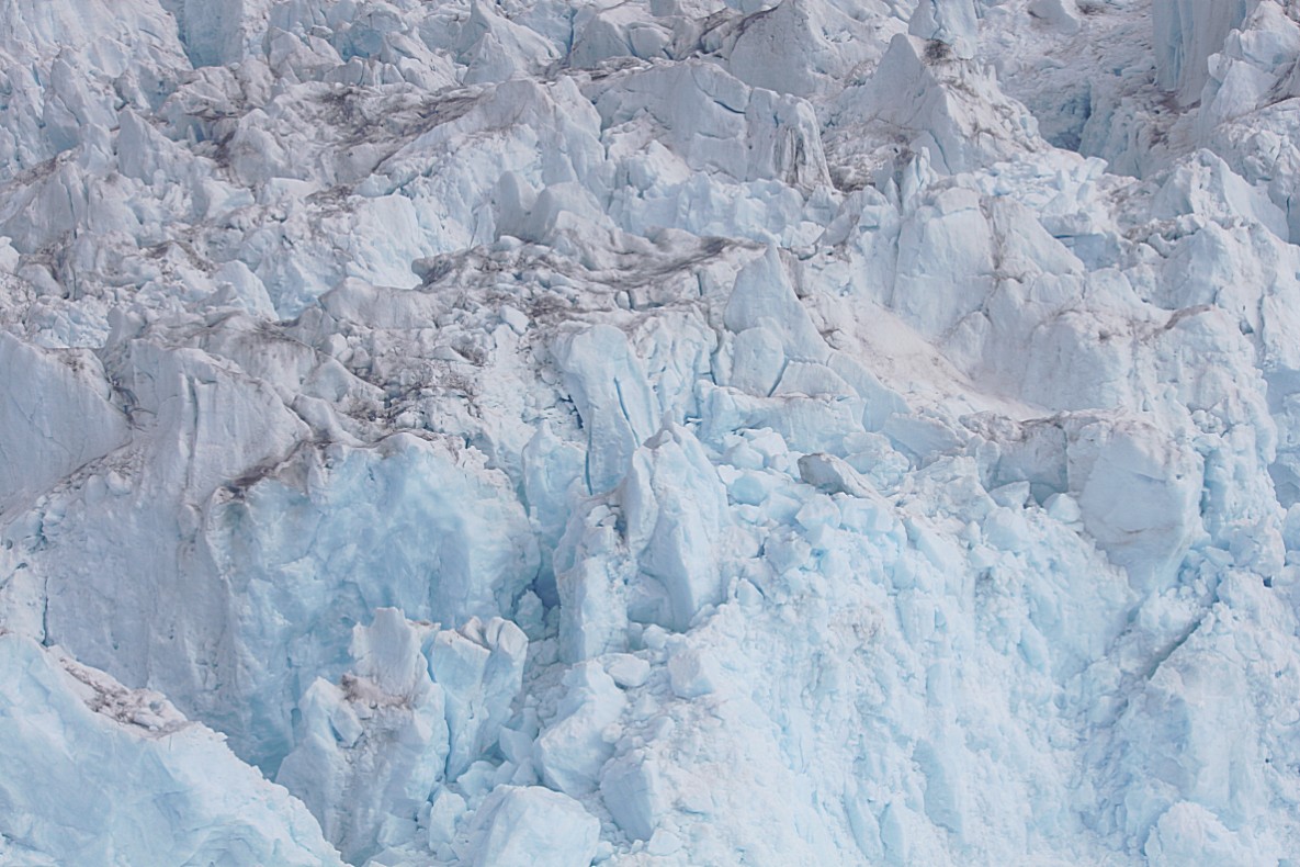
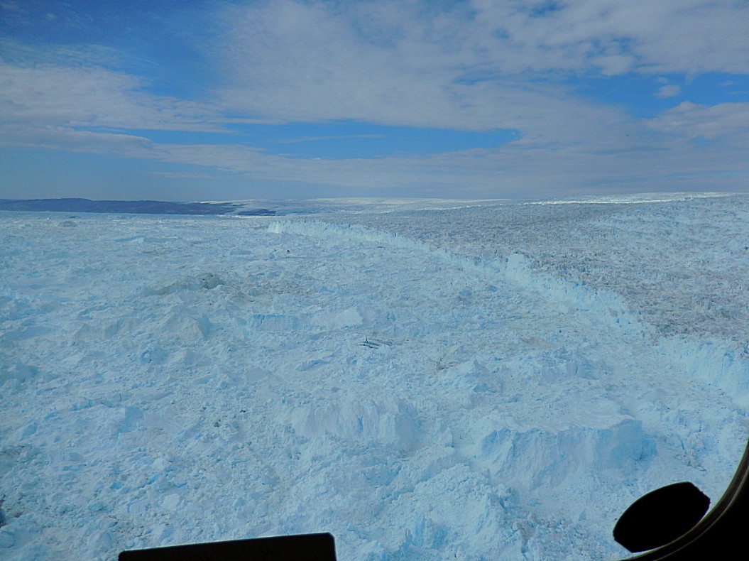
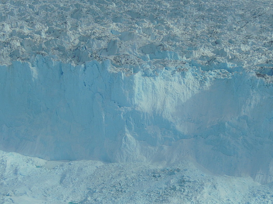
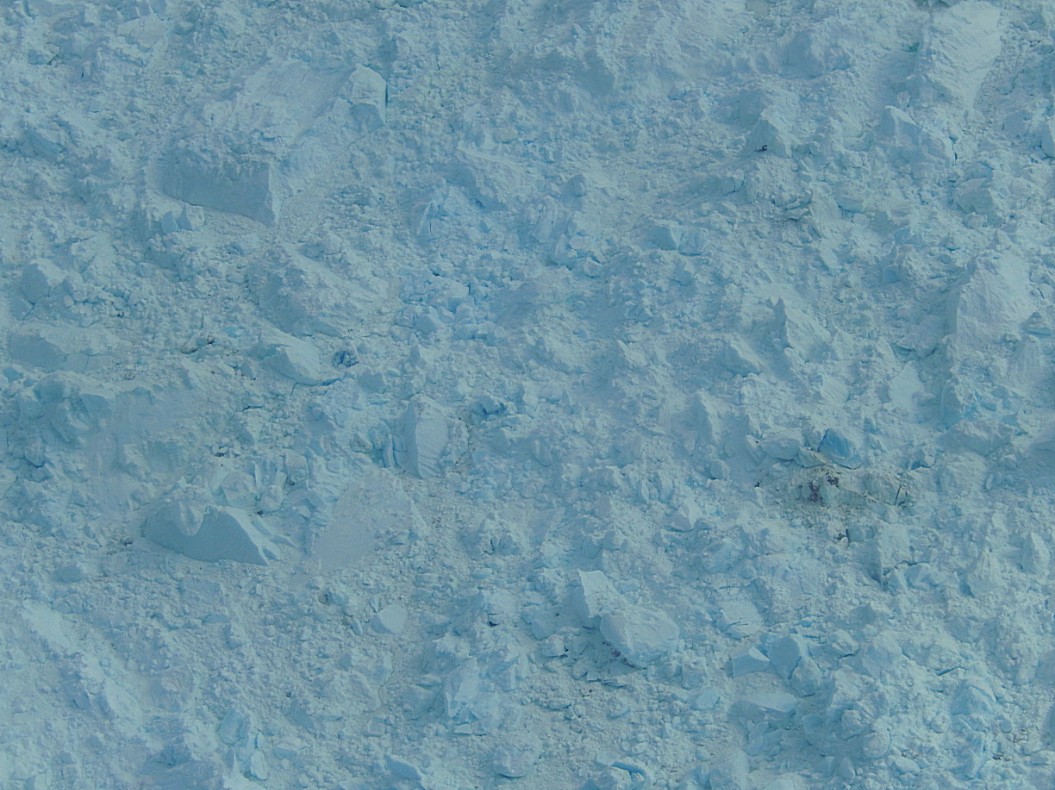
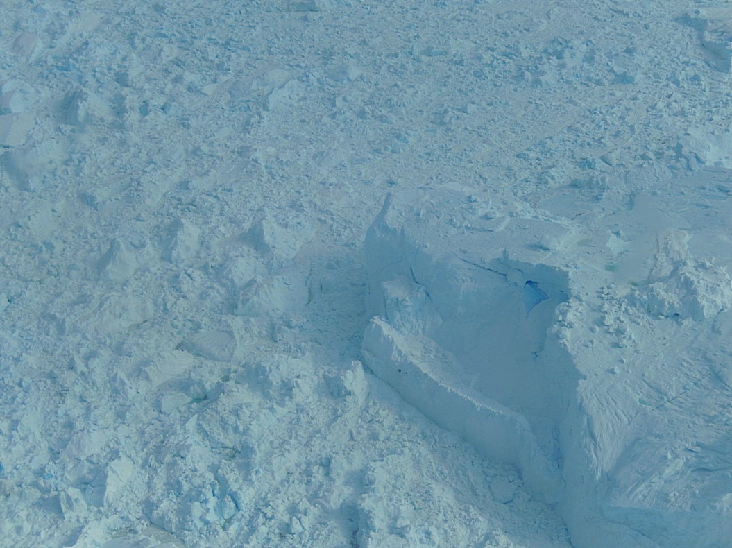
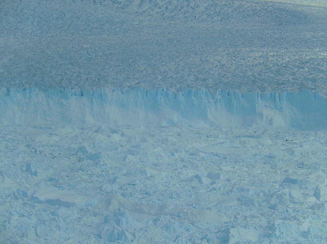
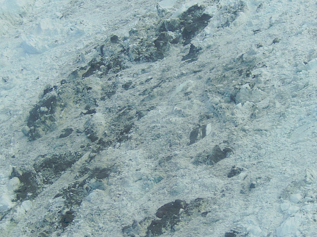
Then the chopper approached the edge of the Sermeq Kujalleq glacier, where it lands at the polar research area.
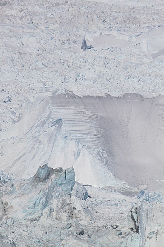
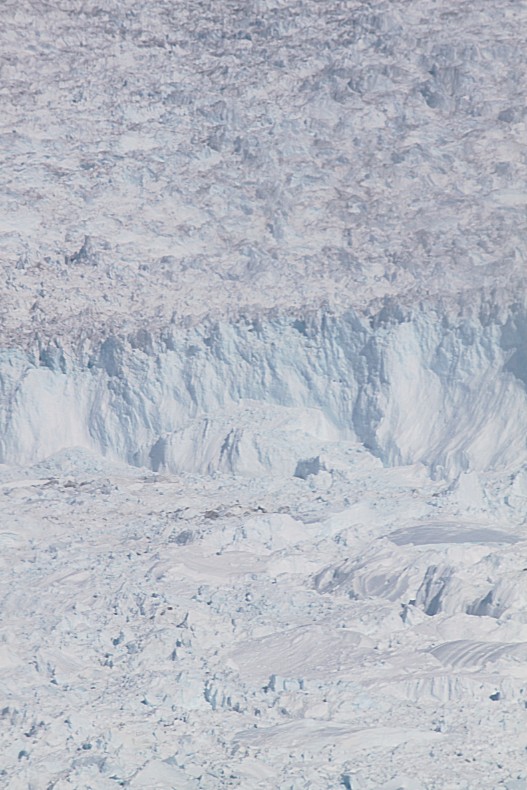
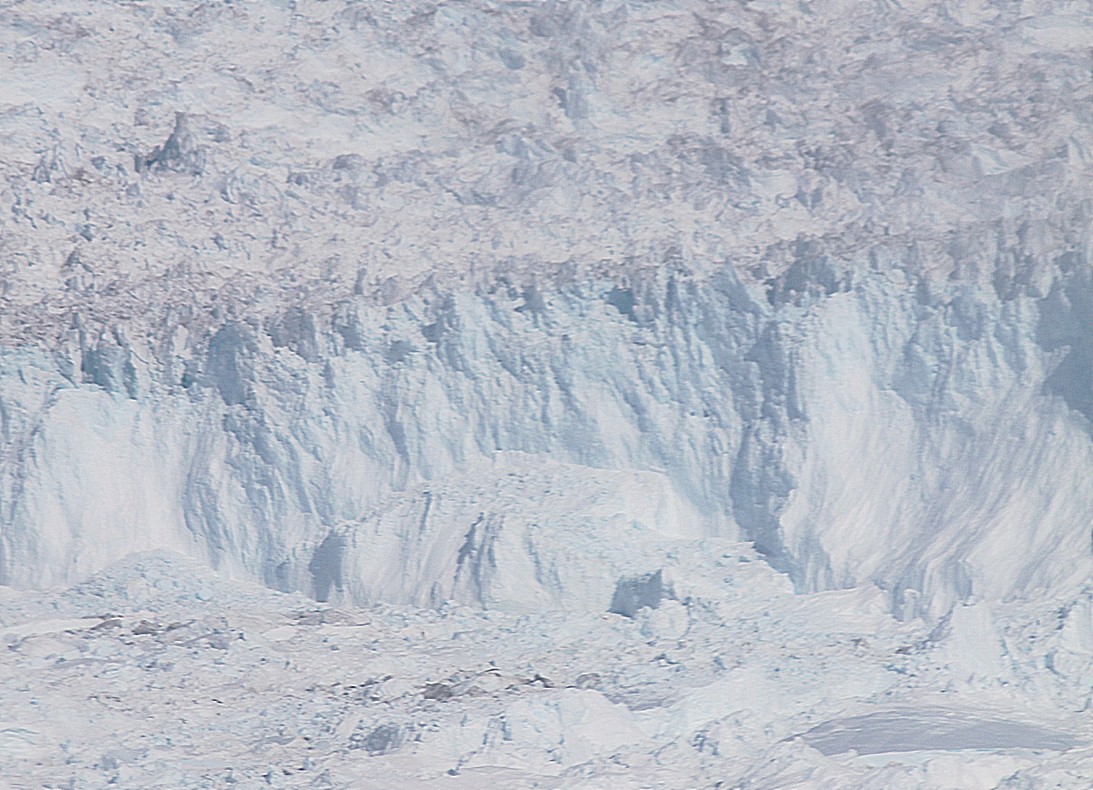
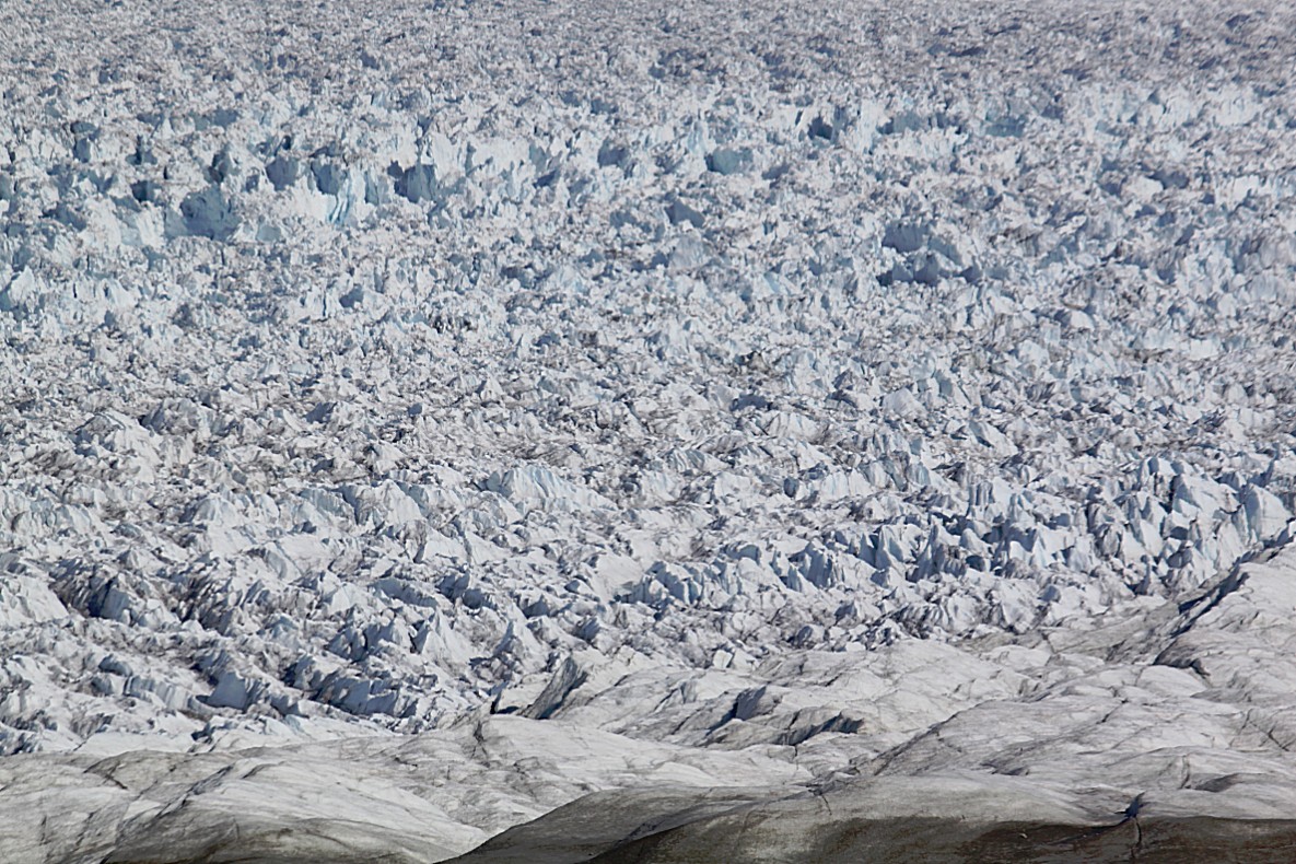
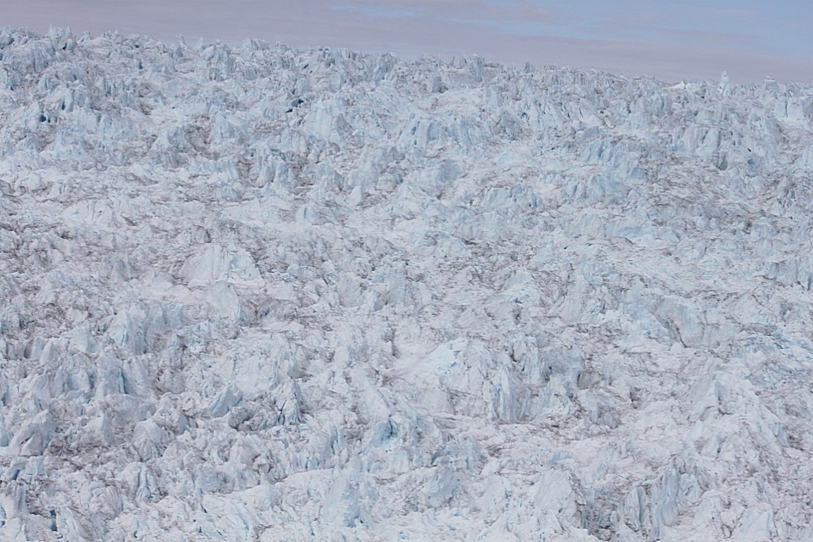
Mindblowing views passed beneath me…
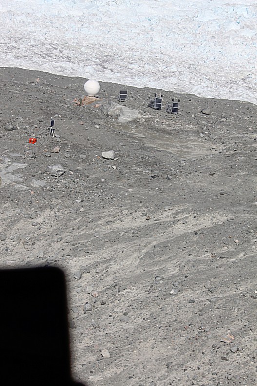
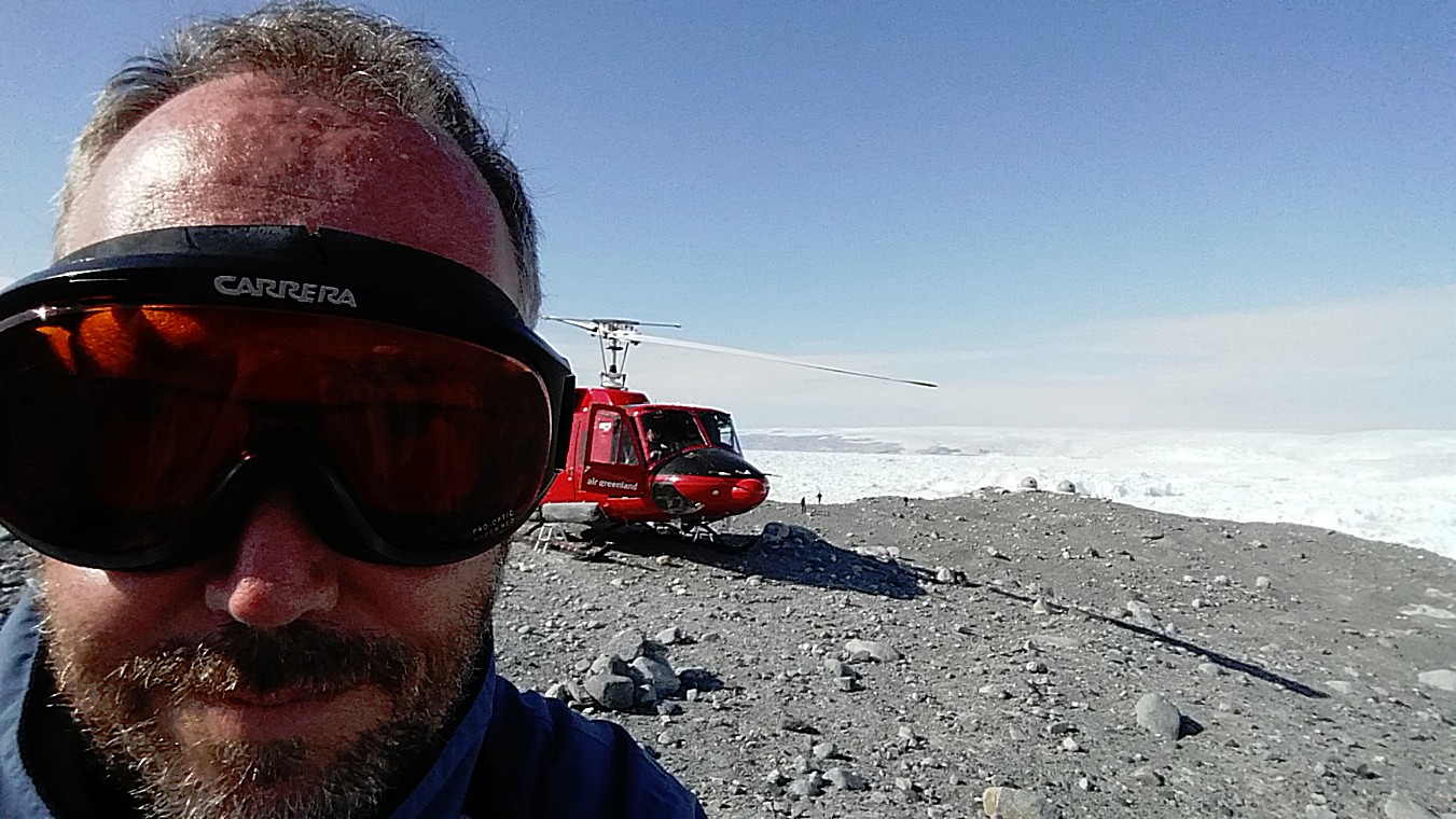
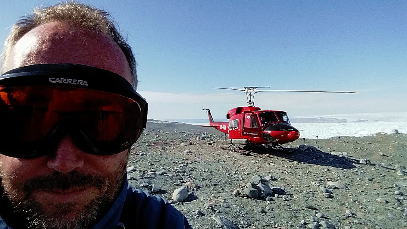
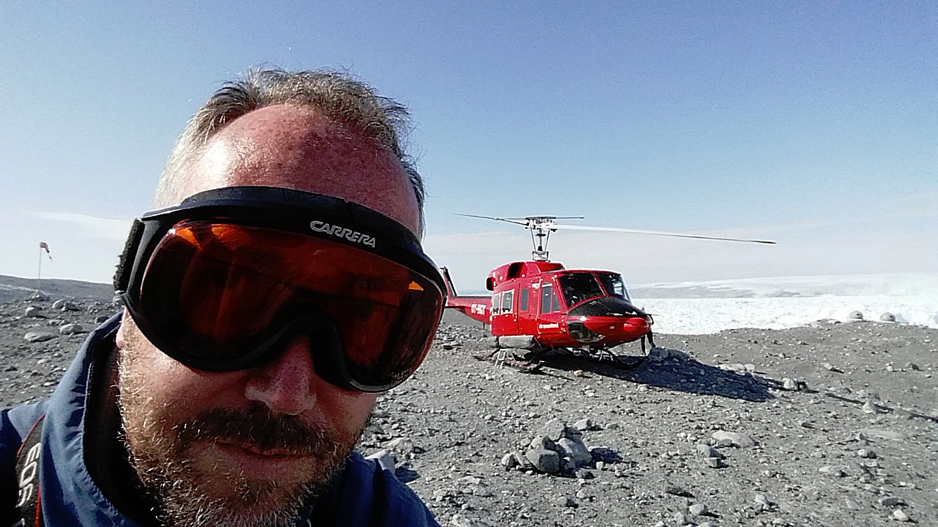
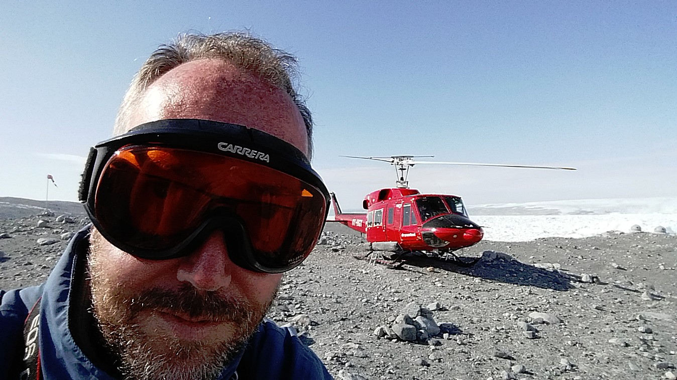
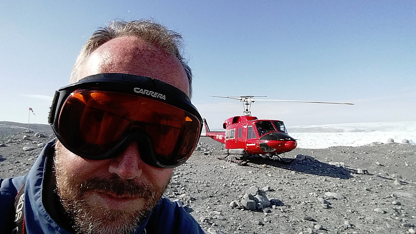
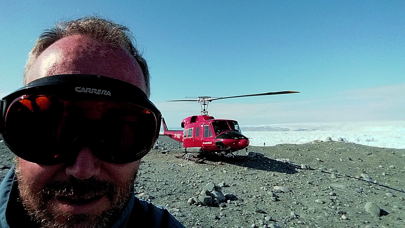
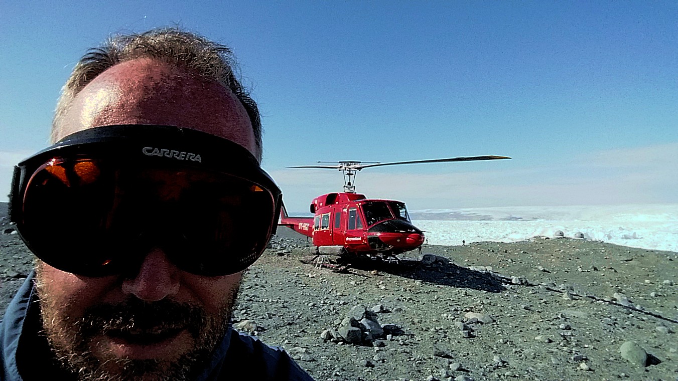
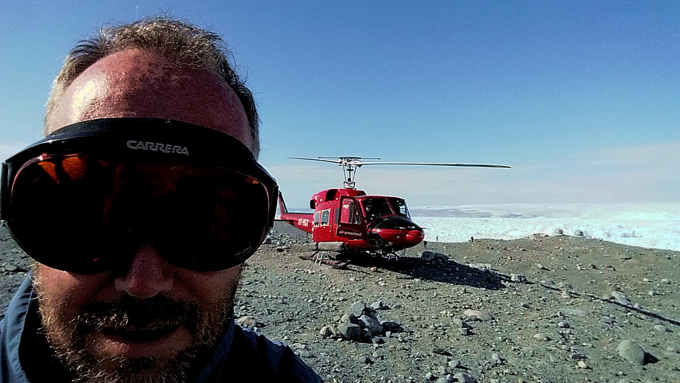
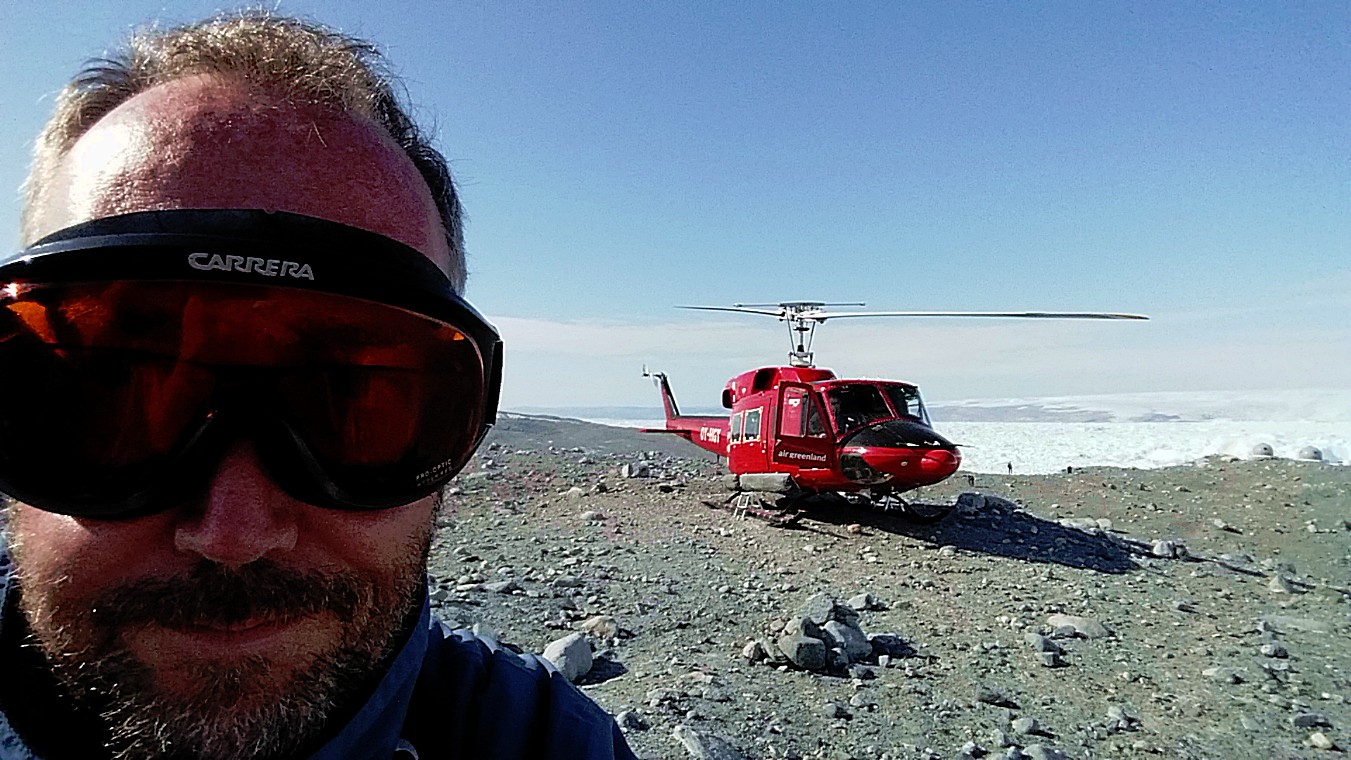
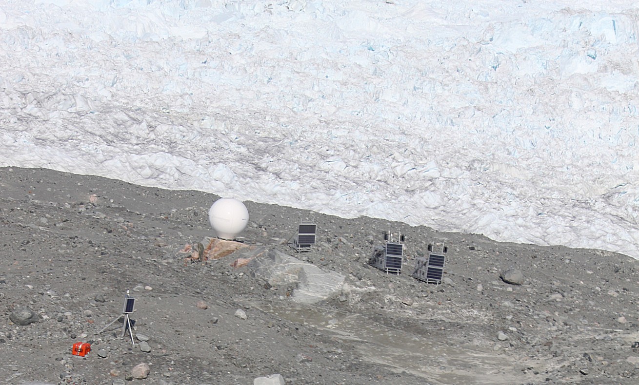
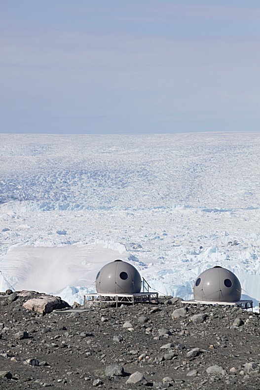
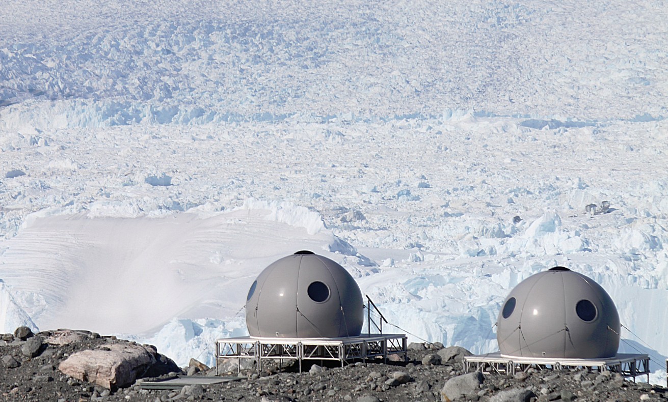
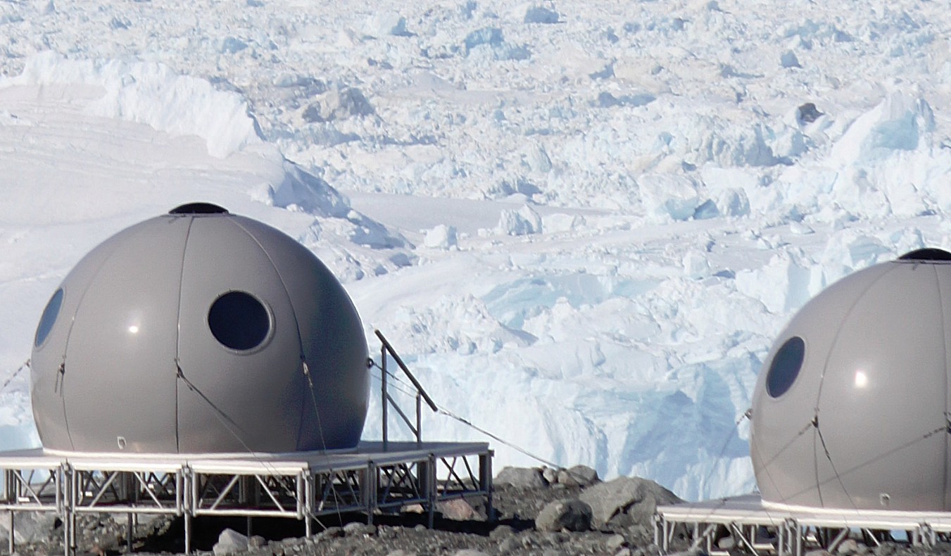
The chopper landed on a spot near some research equipment…
Climate change and glacier behavior research area
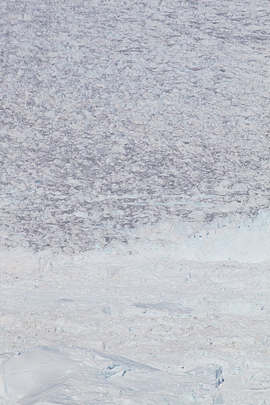
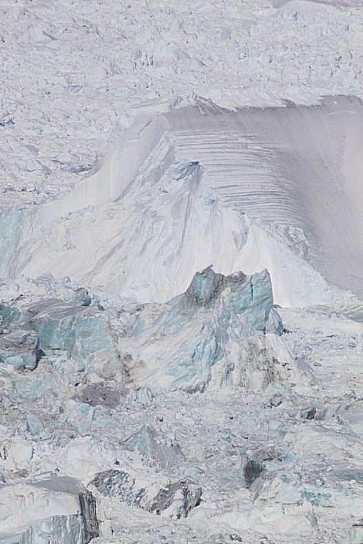
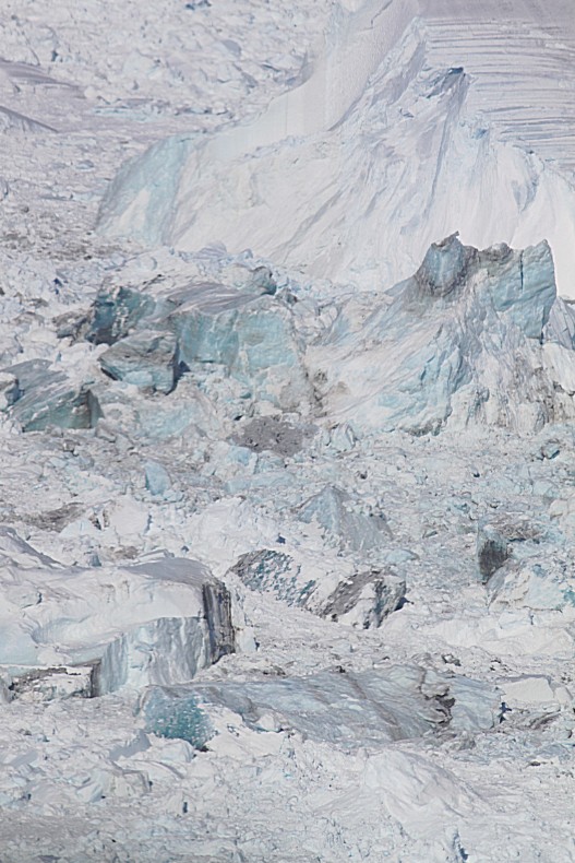
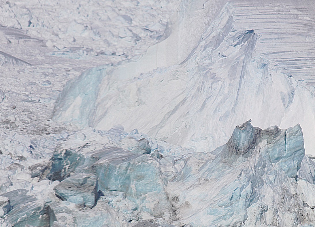
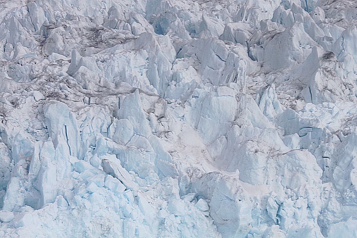
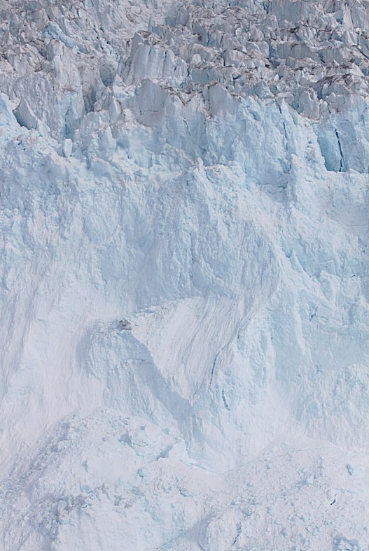
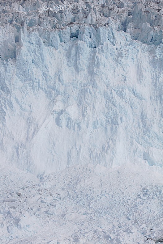
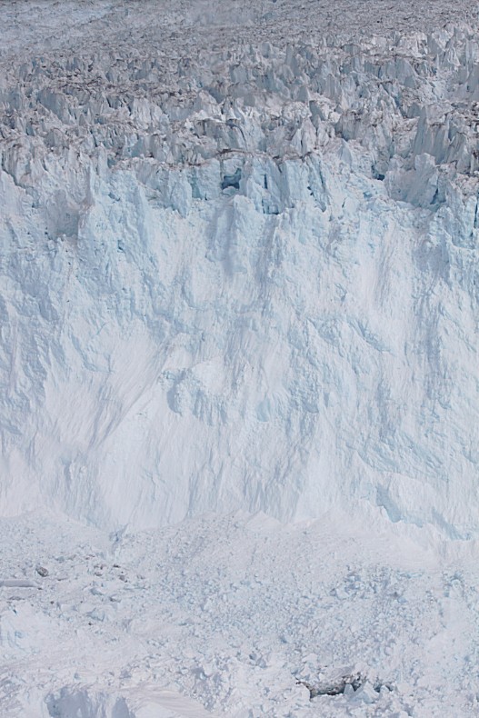
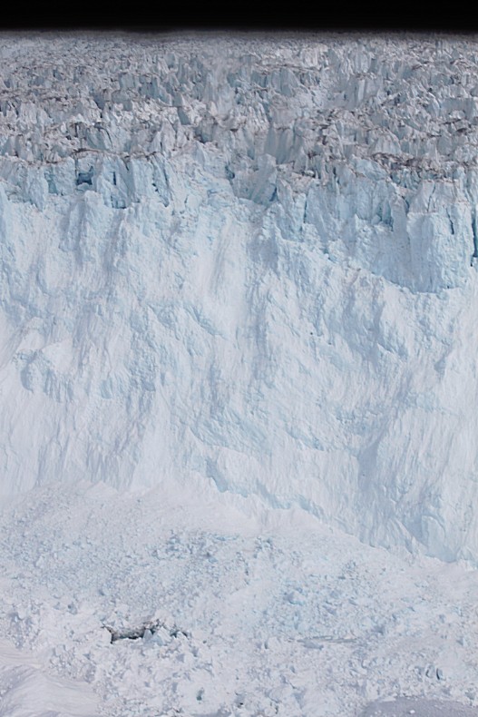
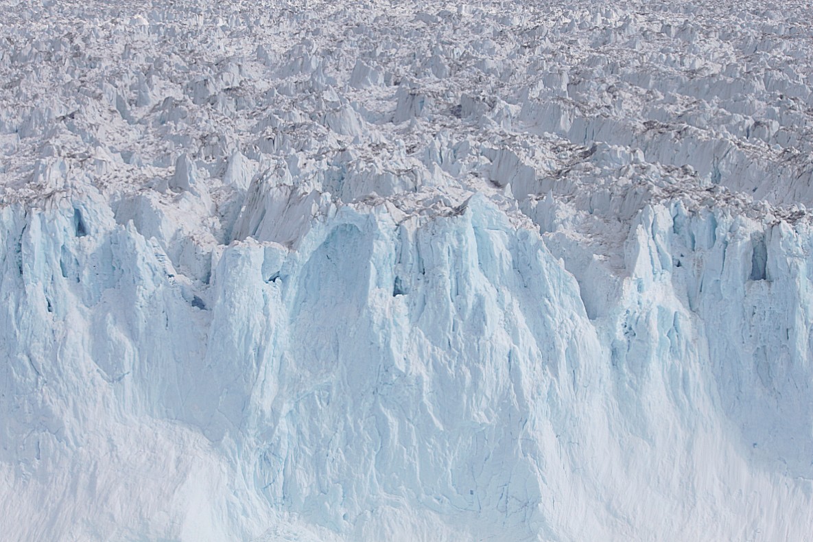
The Sermeq Kujalleq glacier is one of the world’s most productive glaciers and the fastest glacier in the world.
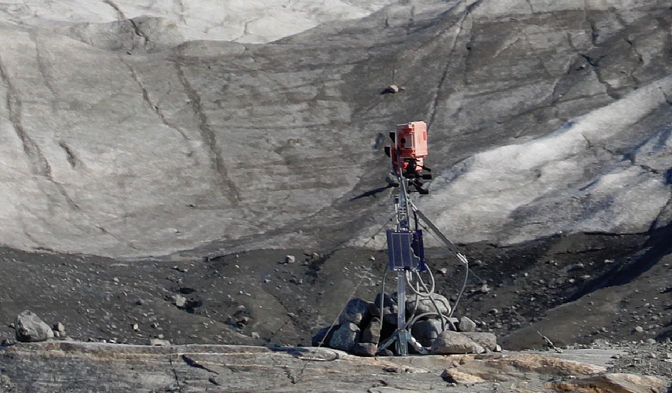
Climate change research facilities
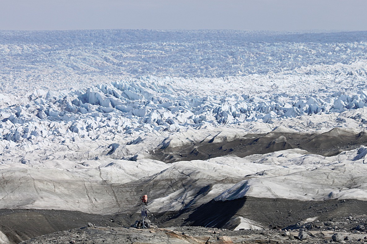
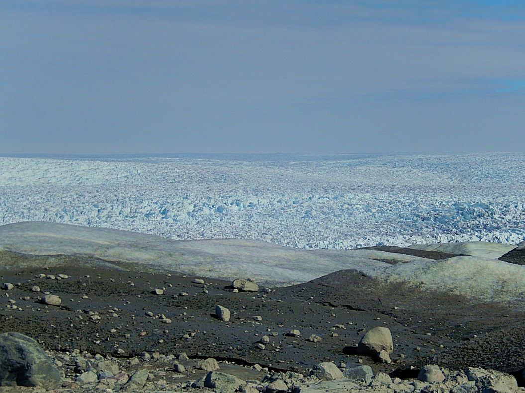
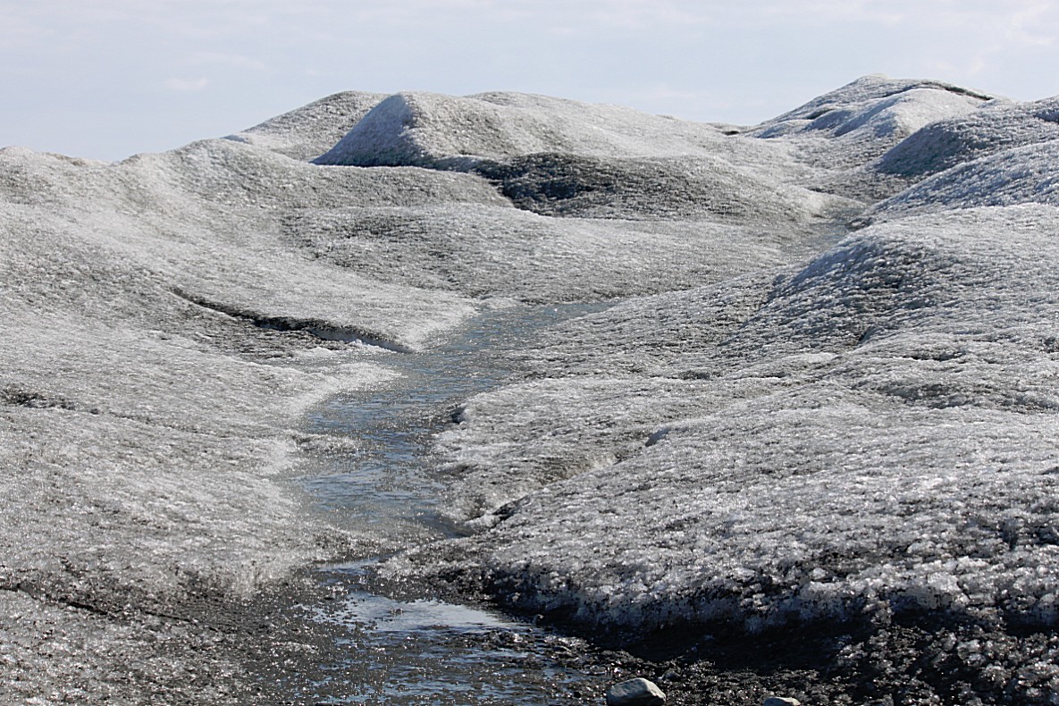
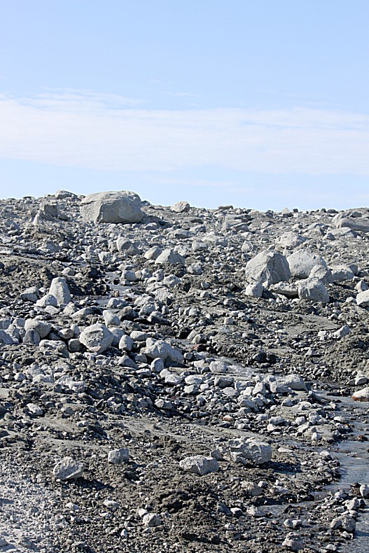
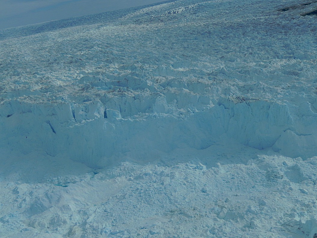
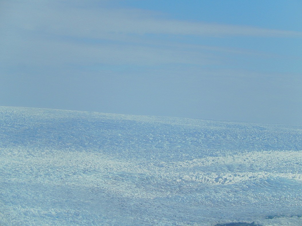
The Greenland icesheet is like a huge jellypudding. It slowly flows from the higher parts in central and east Greenland towards the edges. If you would make a time lapse video of this spot, you’d see a steady flow of ice passing the research facility located on the moraine area in front.
- Within the last ten years the glacier has doubled its speed. Today it moves at a speed of around 40 meters every 24 hours.
- In recent years the glacier front has withdrawn significantly. Today the 40 to 90 meters high glacier front is mainly located on land.
- The glacier calves around 46 cubic kilometers of ice every year. If you melted this amount of ice, the resulting amount of water could cover the annual consumption of water in the USA.
- The glacier produces ten percent of all the icebergs in Greenland. The largest icebergs calved by the glacier are the size of 1.5 cubic kilometers of ice. This is the equivalent of 30 football fields covered by a layer of ice as high as Mount Everest. An iceberg of this size could supply the population of Denmark with water for almost seven years!
- Only between 1/10 and 1/7 of an iceberg protrudes above the surface of the sea. This varies in accordance with the iceberg’s content of air bubbles, sand, and gravel.
Why Is Sermeq Kujalleq so Fast?
The high velocity of the Sermeq Kujalleq is due to the fact that ice from a very large drainage area is concentrated in a narrow stream that follows a deep trough under the glacier.
Furthermore, the scientists believe that the rising temperatures result in increasing amounts of melt water under the glacier. Here the water functions as a lubricant reducing the frictional resistance, which again allows the glacier to increase its speed.
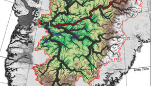
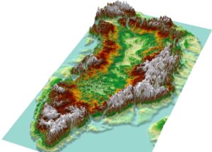 In other words: Greenland underneath the ice is like a giant bathtub, but there are huge cracks in that bath tub. NASA satelite images show some great and one huge mega canyon underneath the ice and also a river network under the southern part of the icecap. there is actually ice melting on the icecaps surface, searching it’s way through cracks towards the bottom of the ice and then flowing through a river network towards the edge of the icecap where it influences the flow of the glaciers. The more water underneath, the better it works like a lubricant for the ice on top, meaning the glaciers (like Sermeq Kujalleq) start flowing faster.
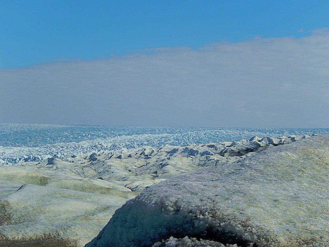
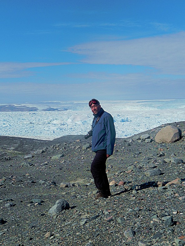
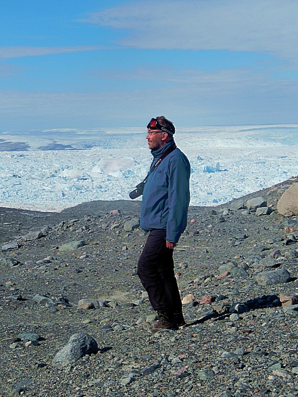
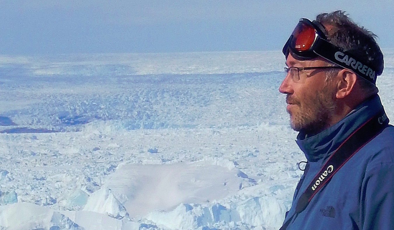
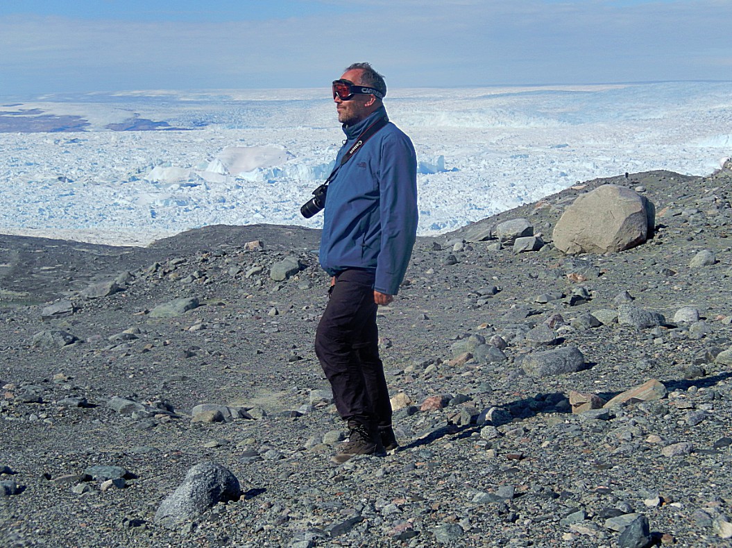
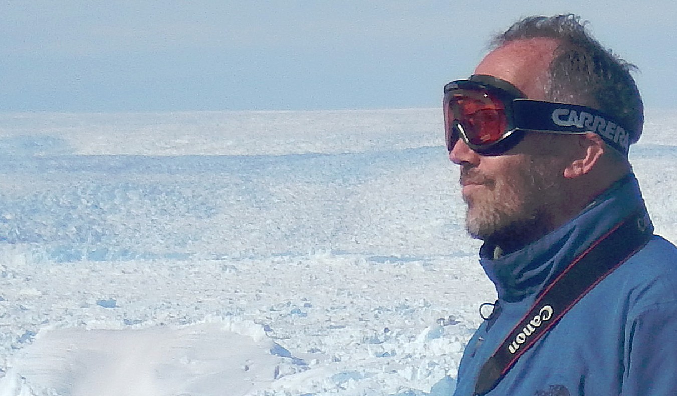
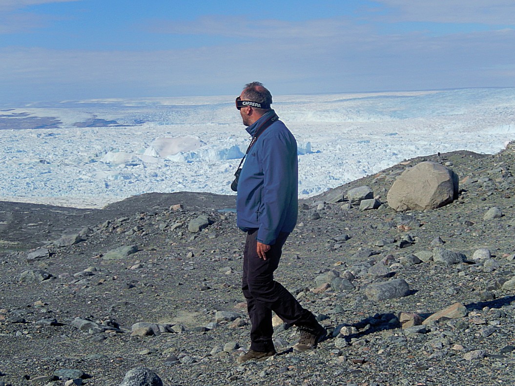
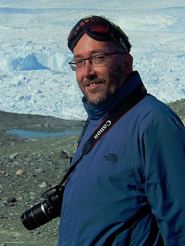
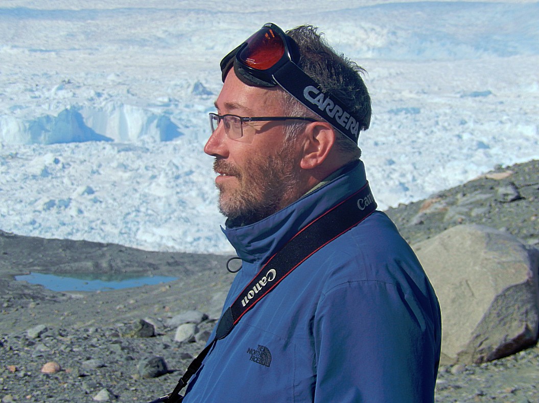
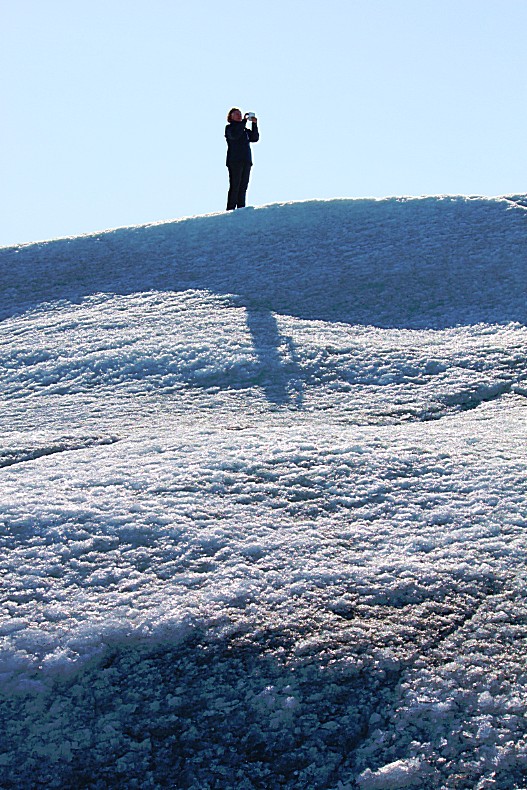
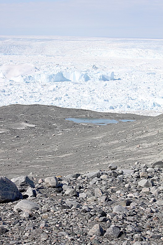
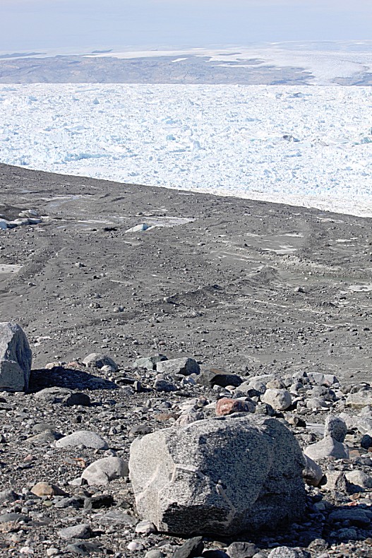
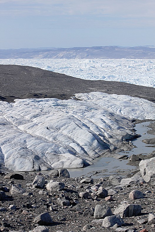
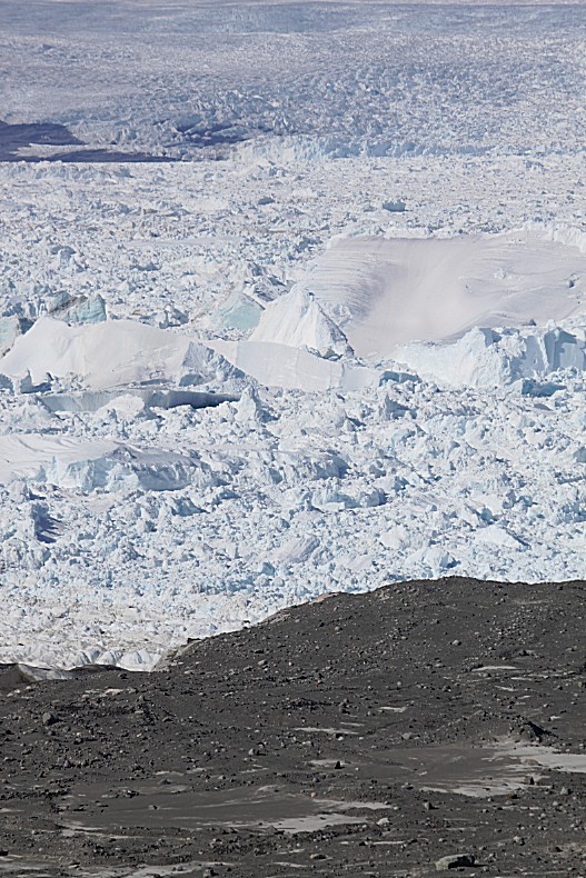
After visiting the research facilities, there was still some time to walk over the moraine field and enjoy the magnificent views over the glacier…
There is only one way to get here and that is by helicopter. The flight towards the glacier, the walk upon it and the flight back over the Kangia icefjord were magnificent. Another highlight of this journey through West Greenlands Disko Bay area.
After a visit to the research area at the calving Sermeq Kujalleq glacier, the chopper lifted of for the most spectacular part of the flight and it turned northwest and followed the impressive edge of the glacier after which it turned west and followed the 80 kilometre icefjord towards Disko Bay.
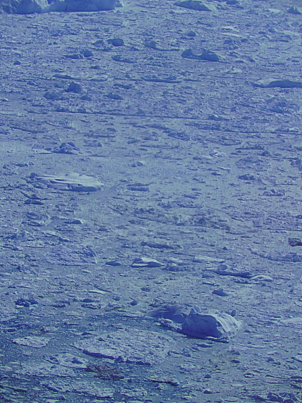
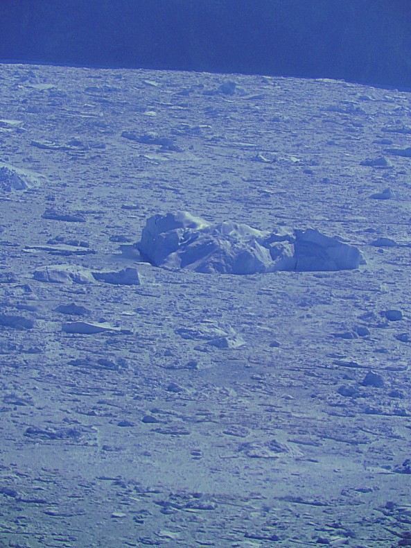
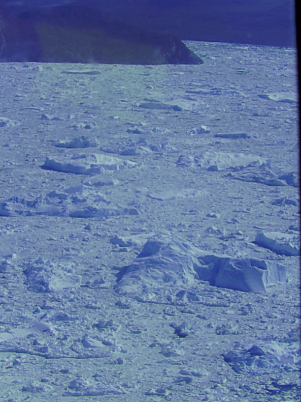
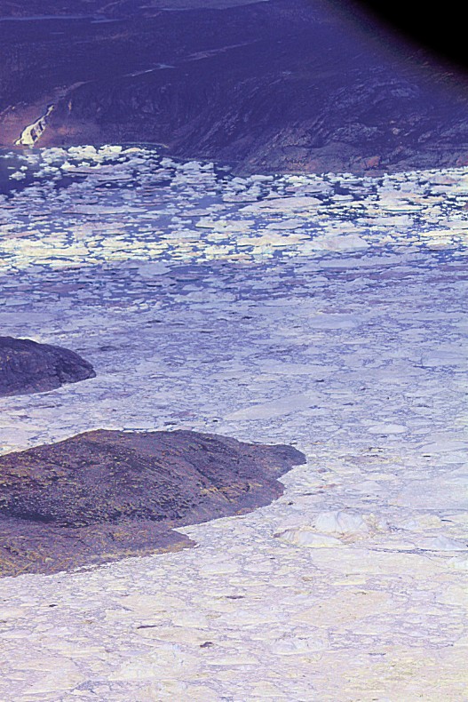
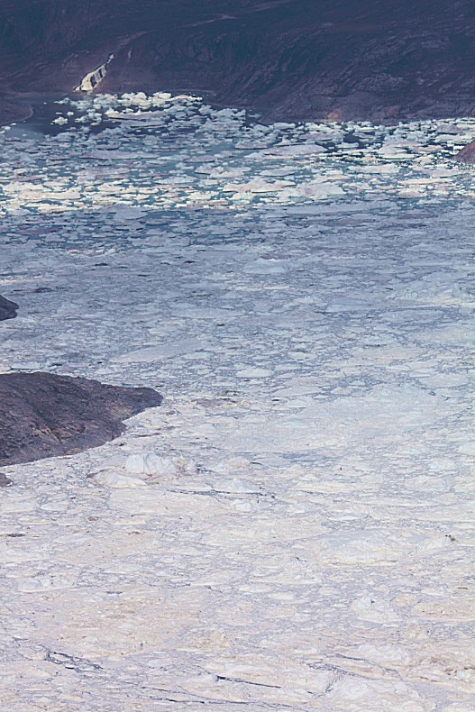
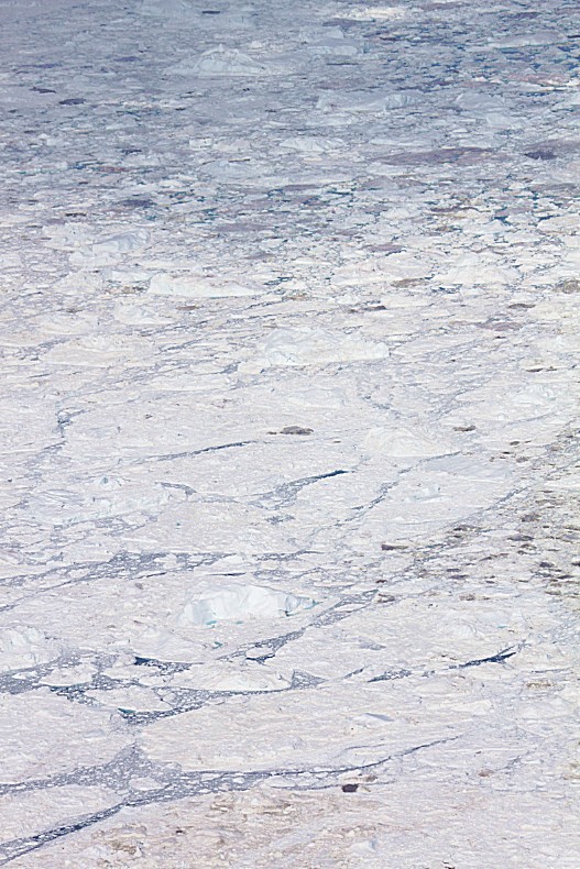
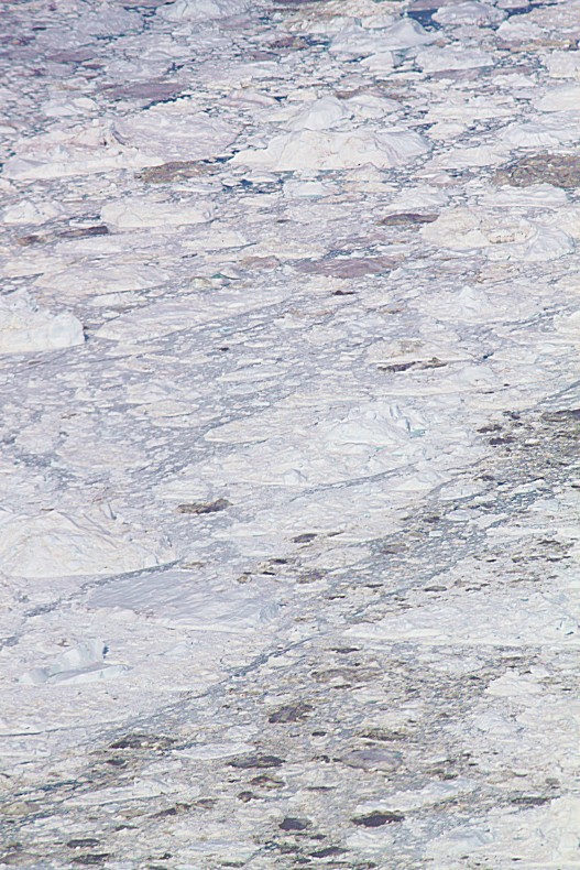
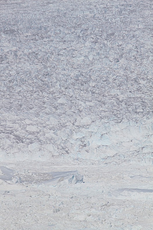
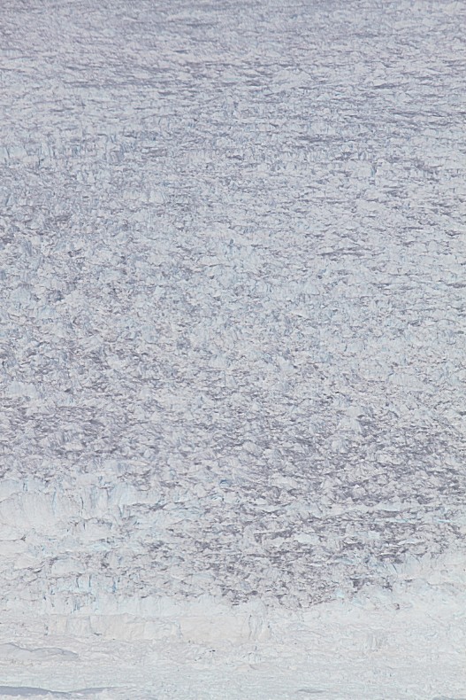
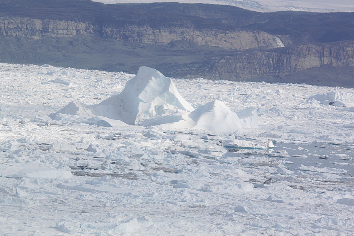
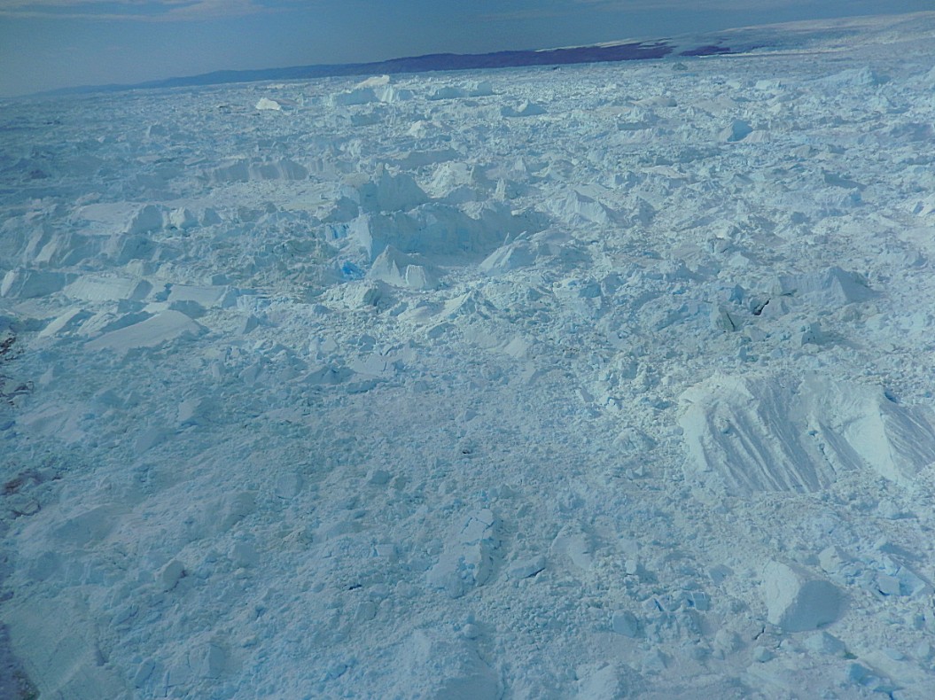
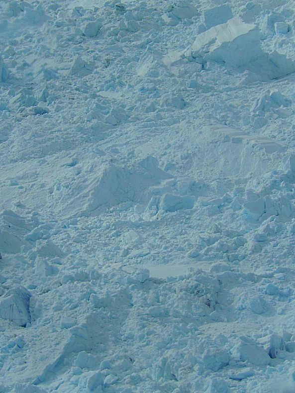
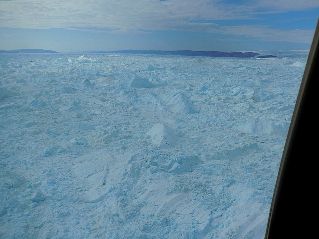
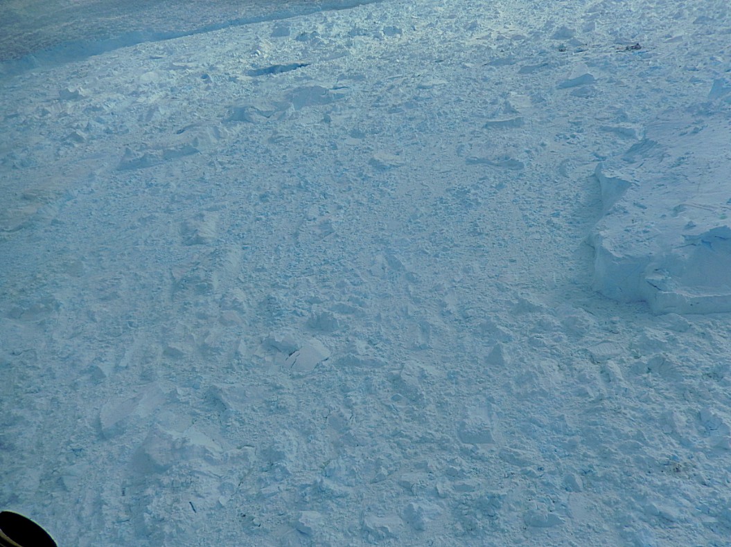
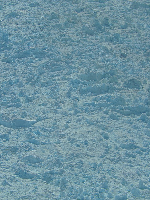
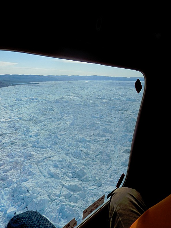
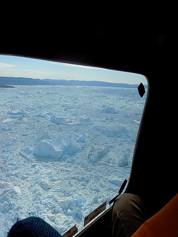
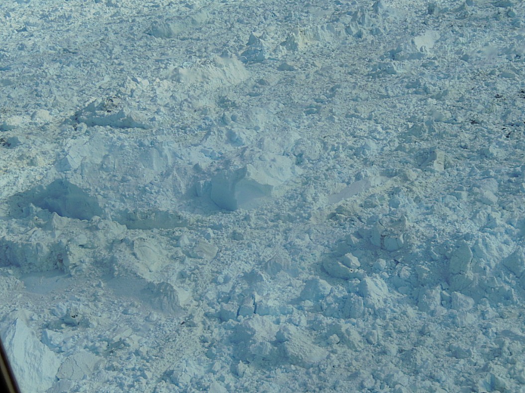
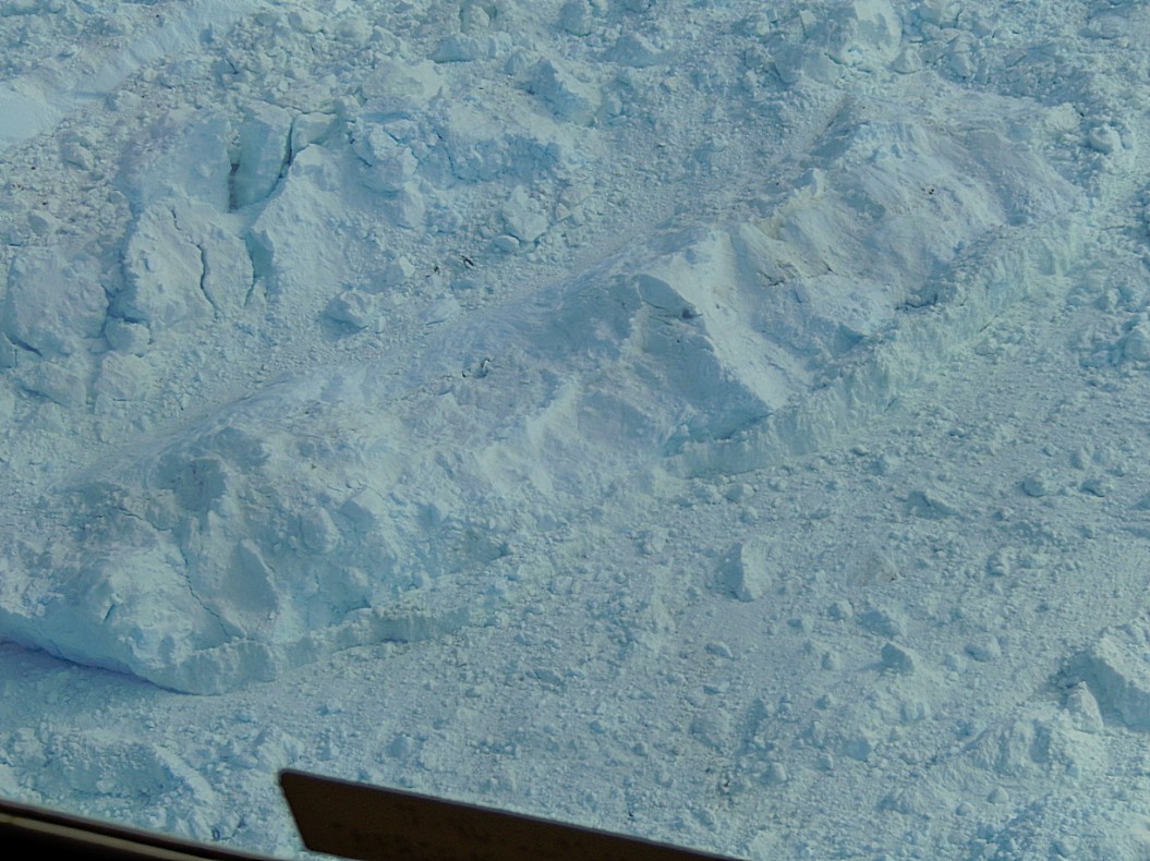
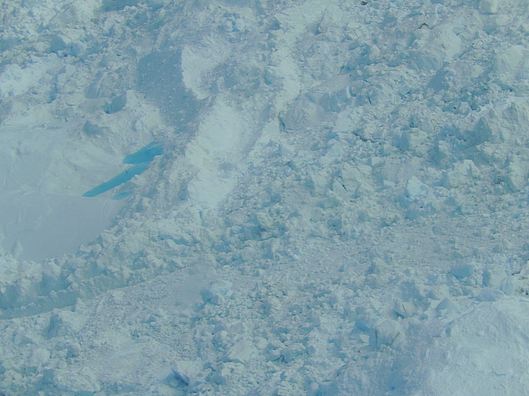
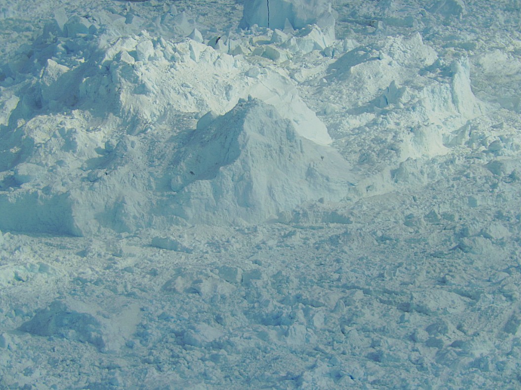
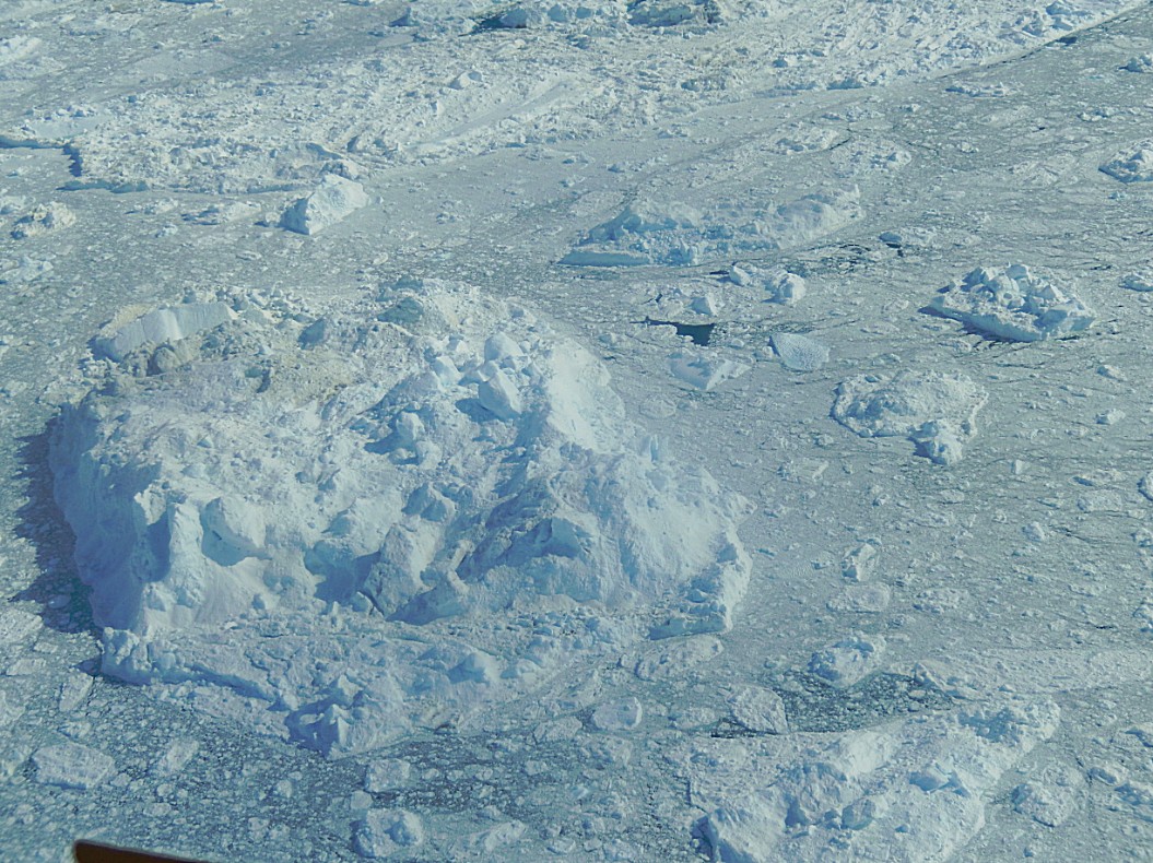
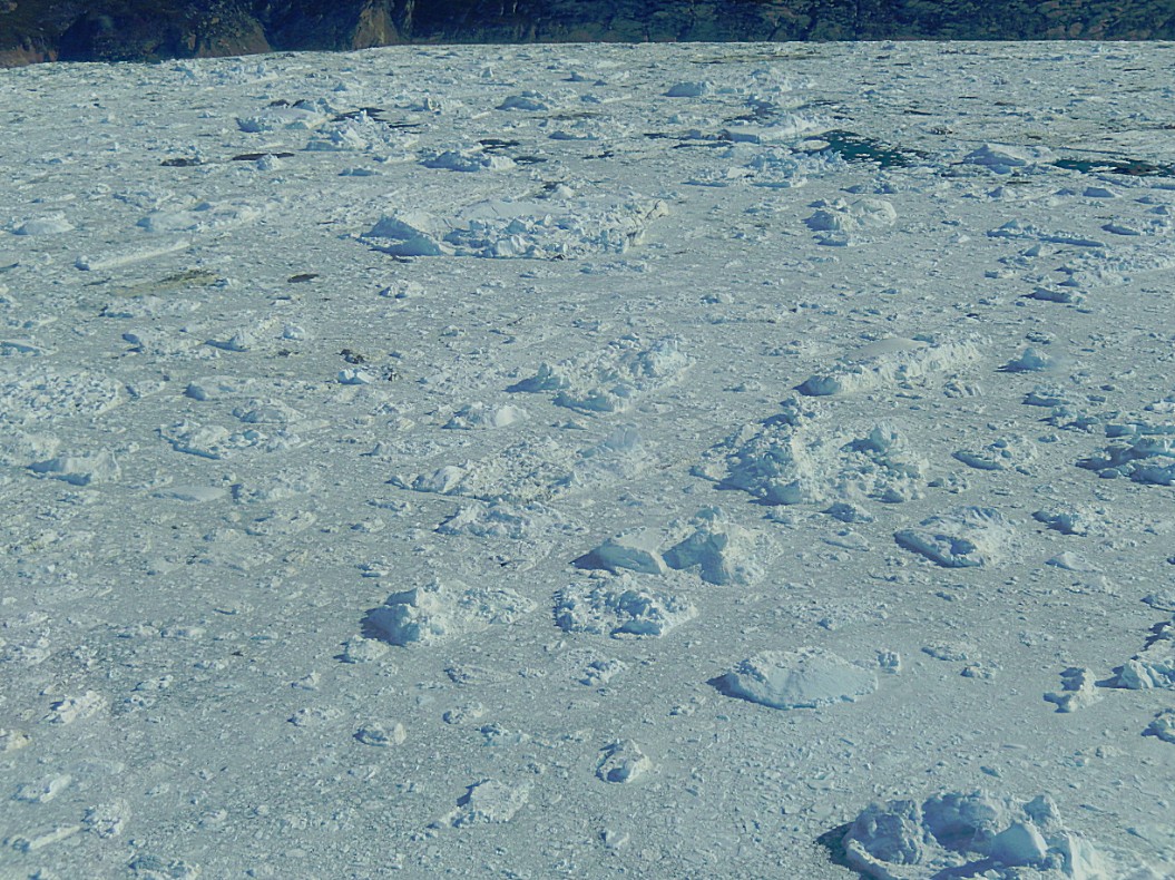
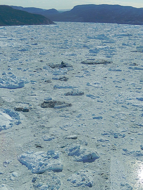
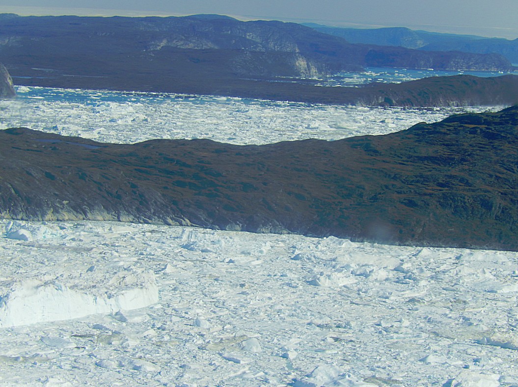
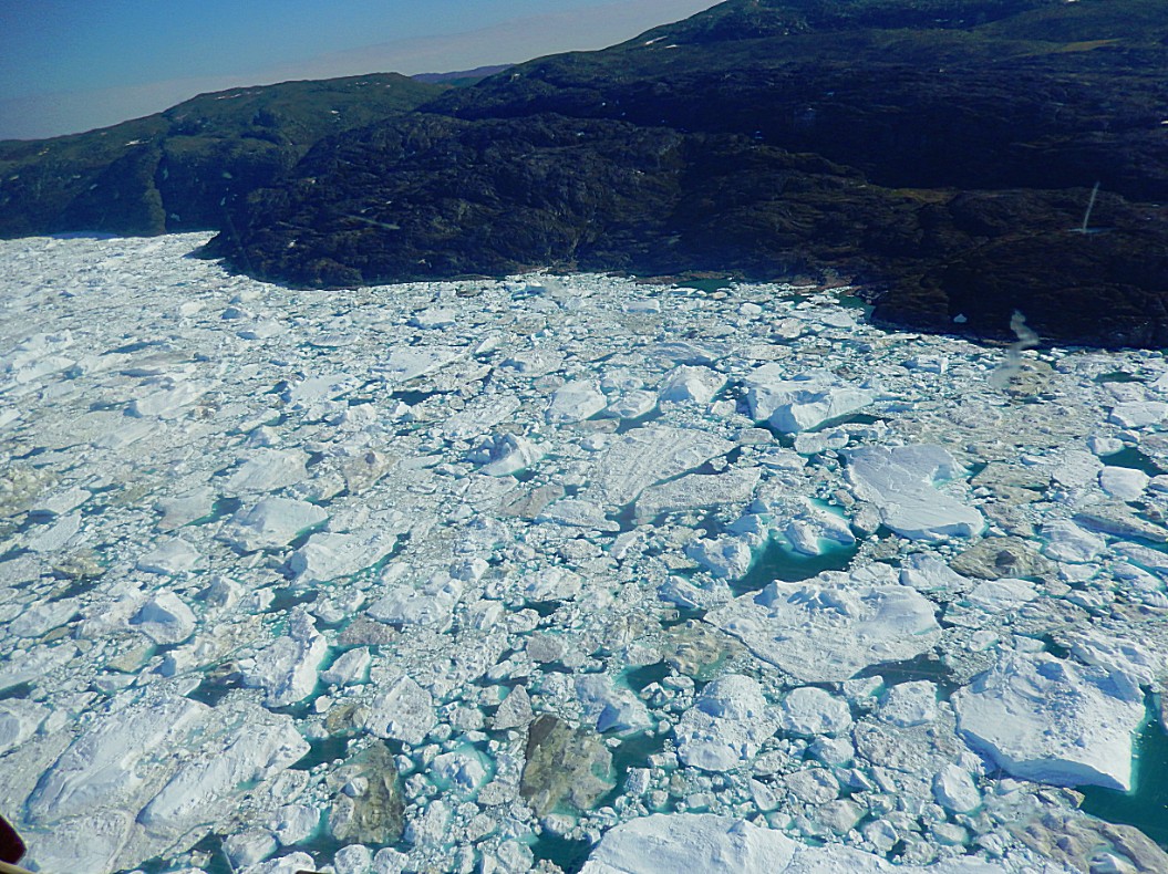
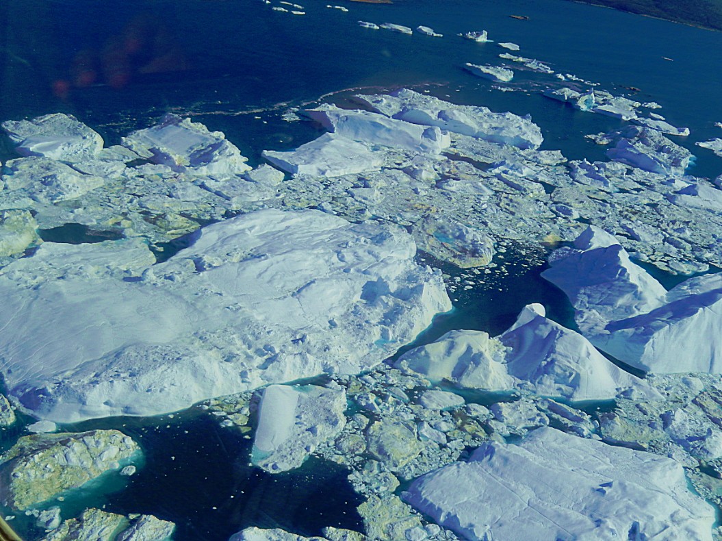
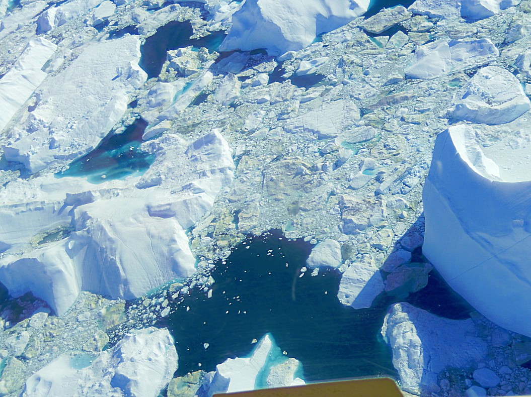
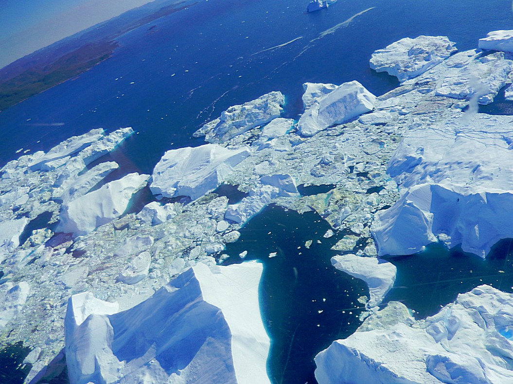
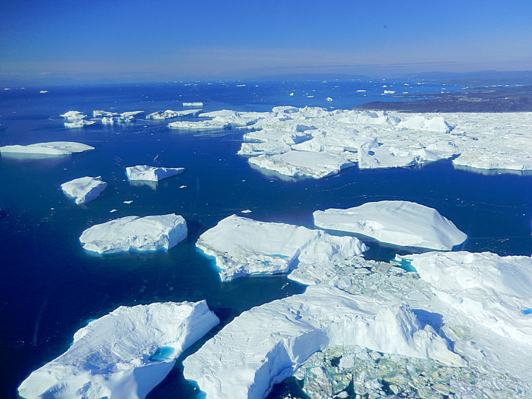
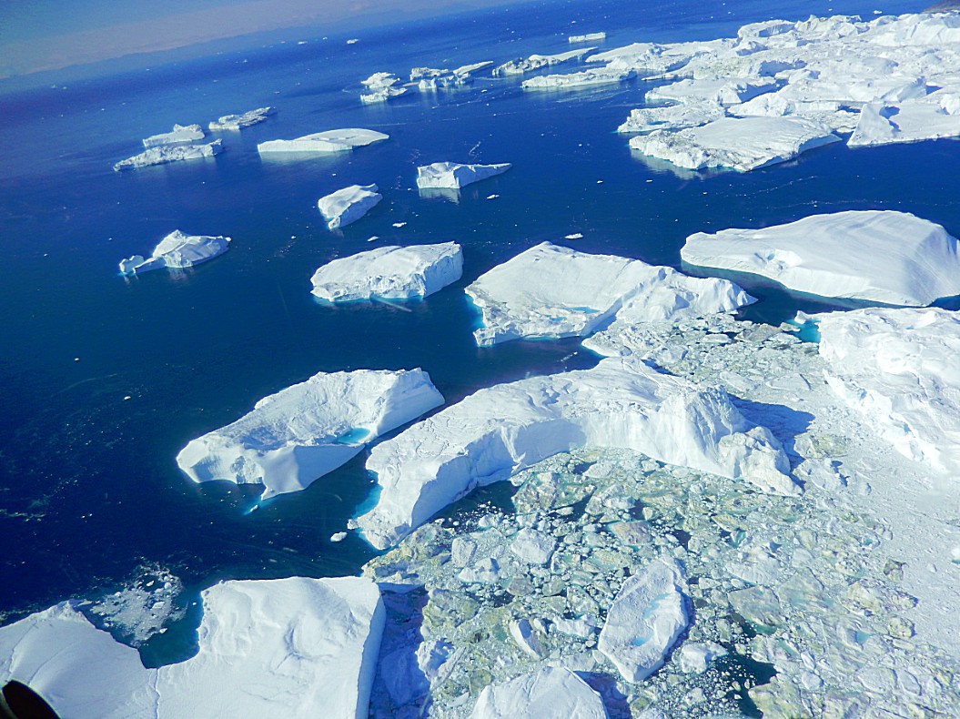
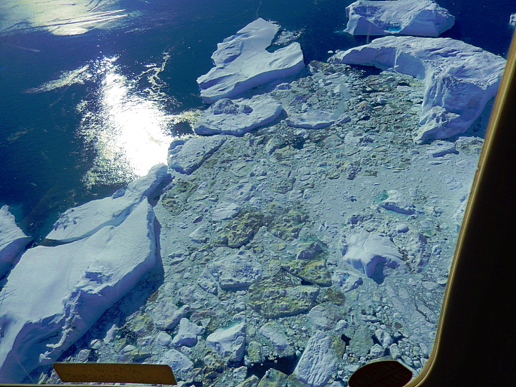
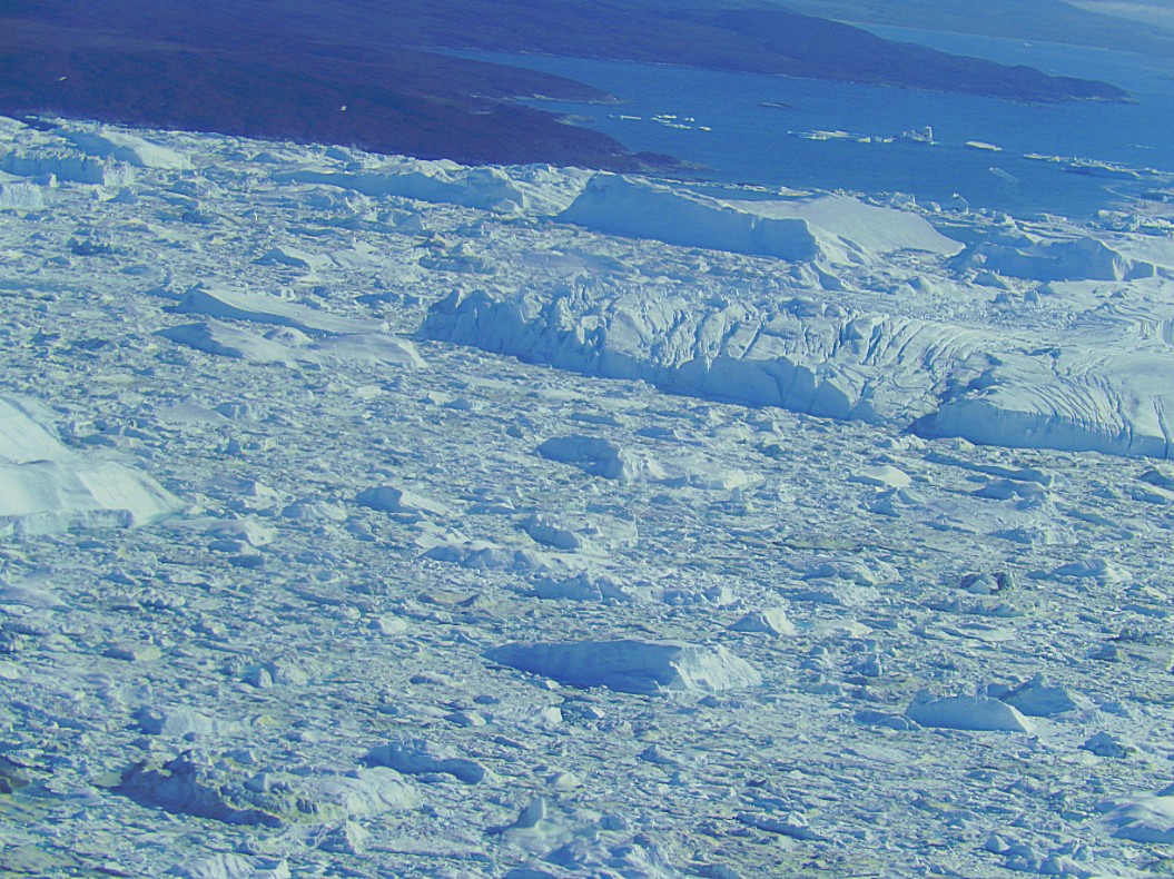
Just after leaving the glacier front, is an area where icebergs are floating as a very compact mass.
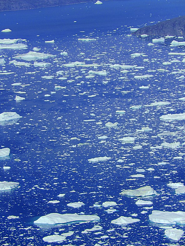
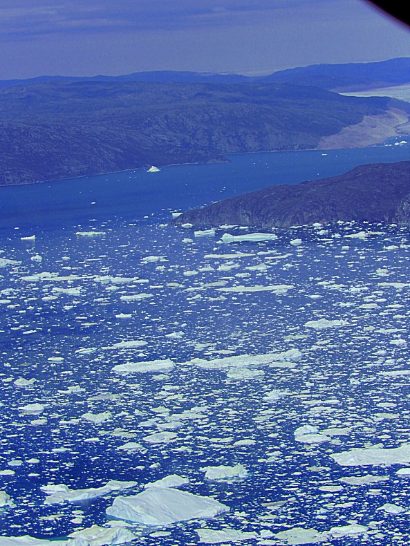
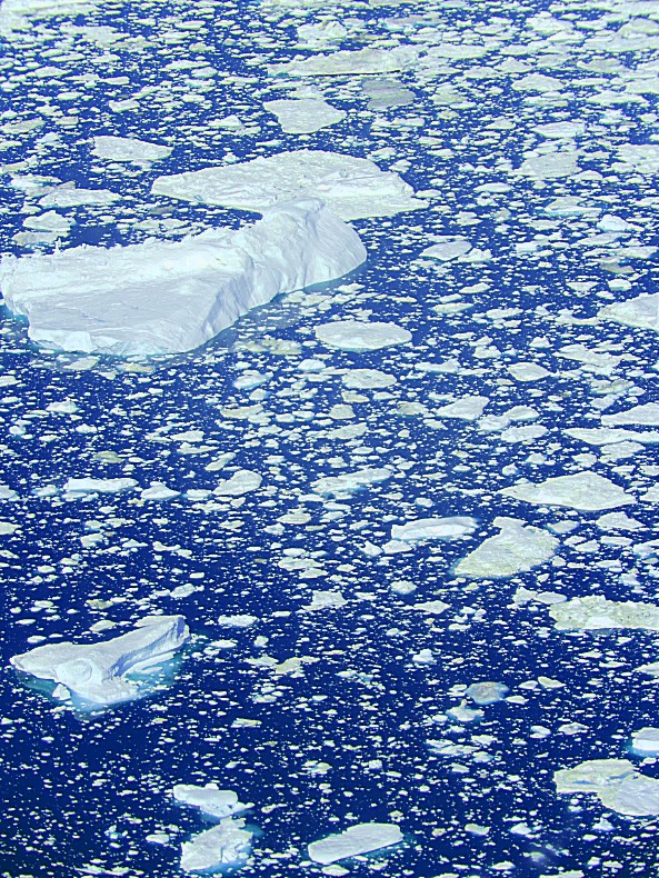
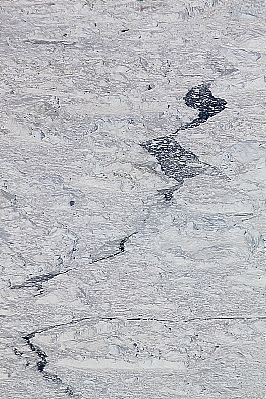
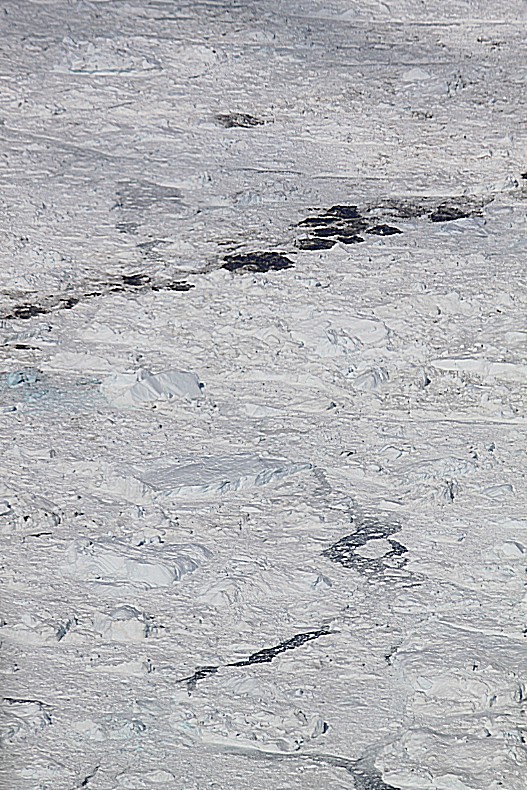
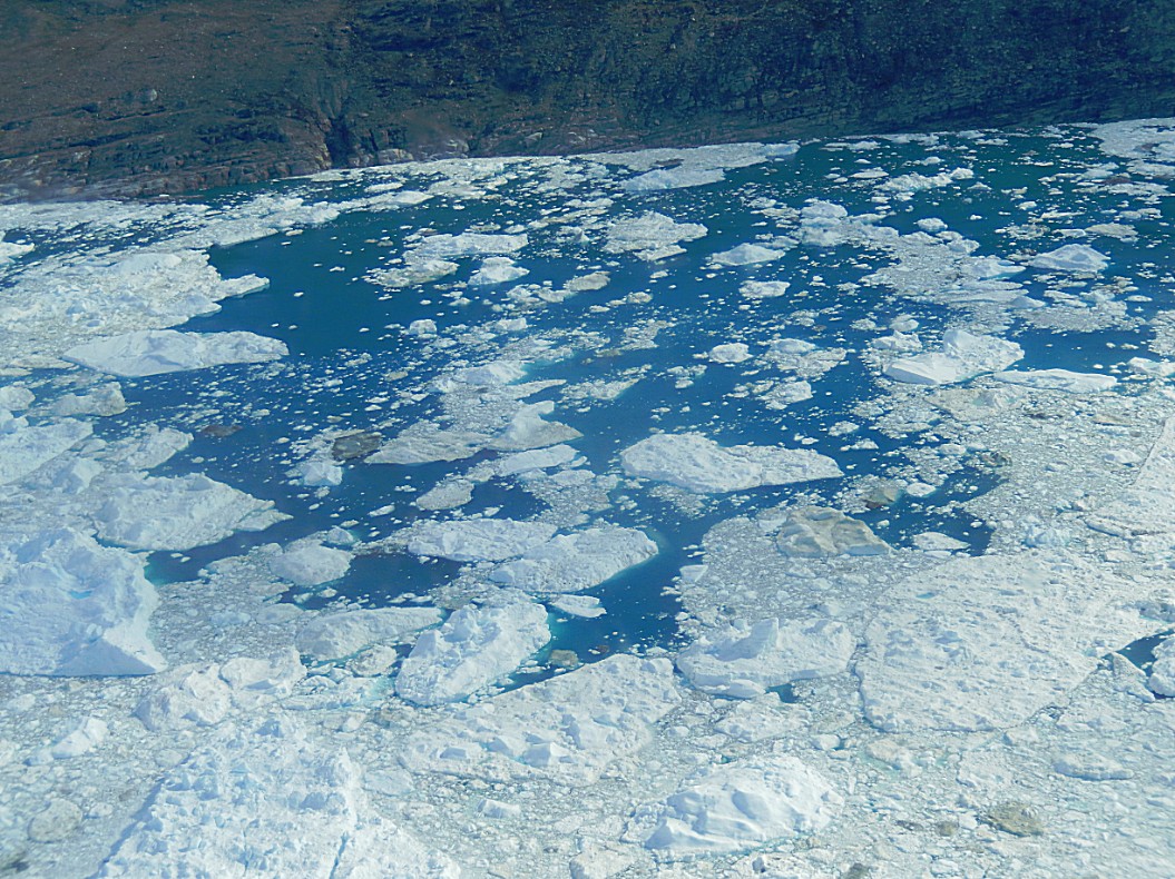
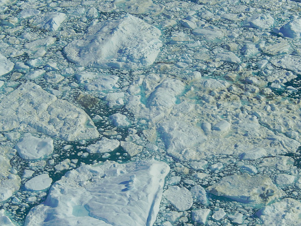
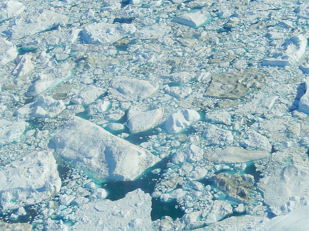
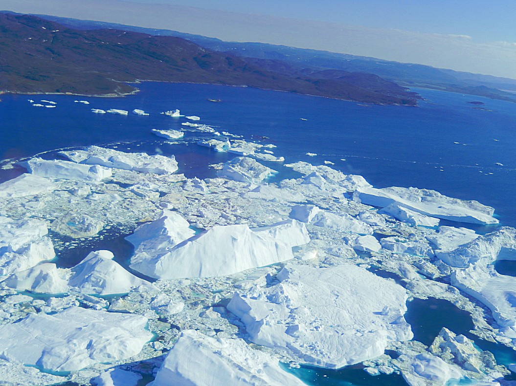
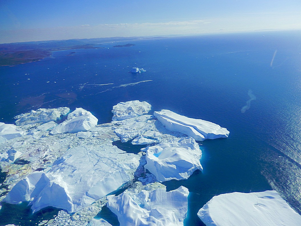
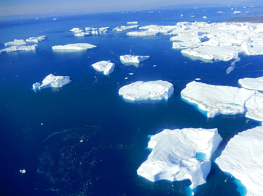
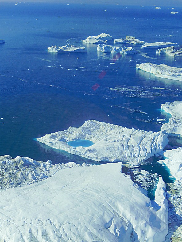
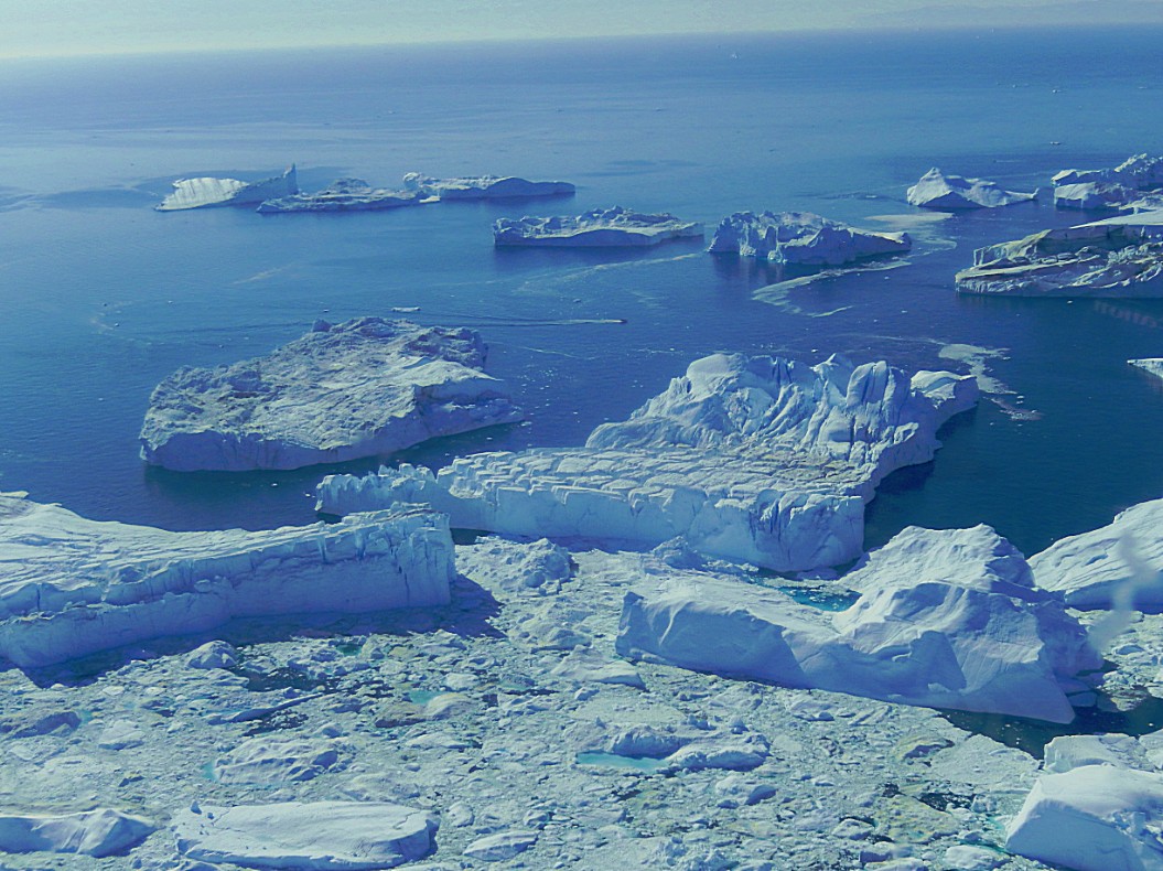
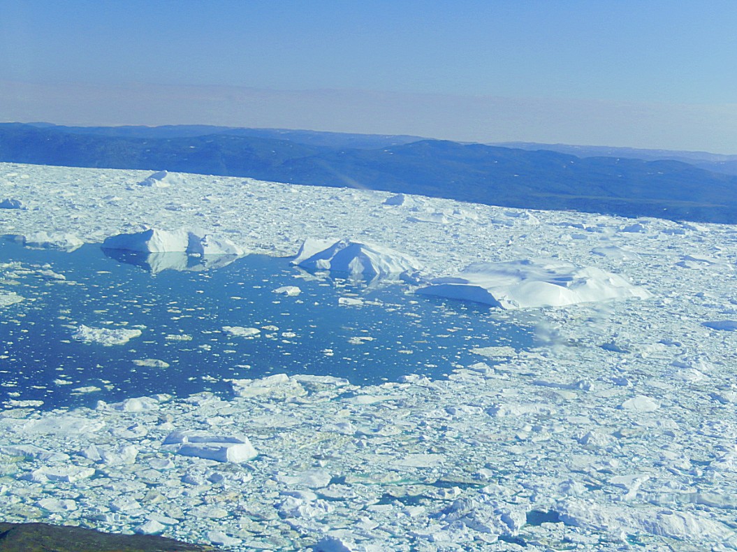
Then the helicopter reaches a part of the fjord where the icebergs get a bit less compact. Some spots of water can be seen and everything doesn’t look as crammed as it did before near the glaciers edge. The fjord is more then 1000 metres deep here so the icebergs flow freely towards Disko Bay.
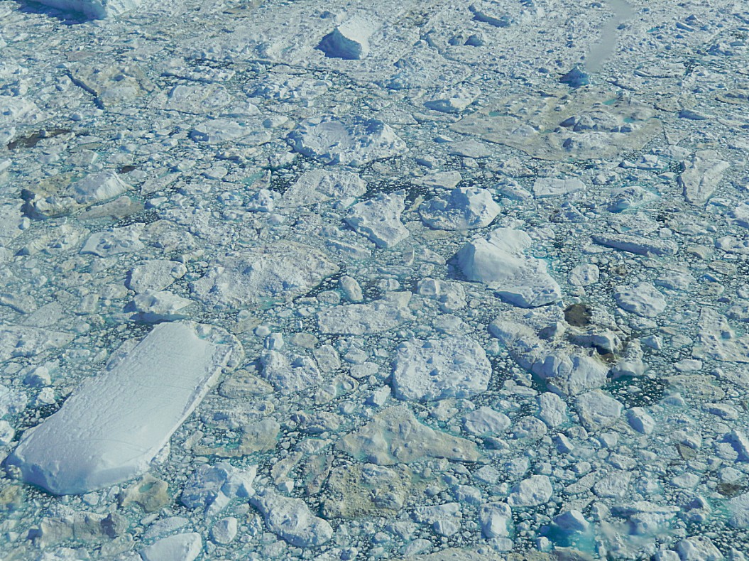
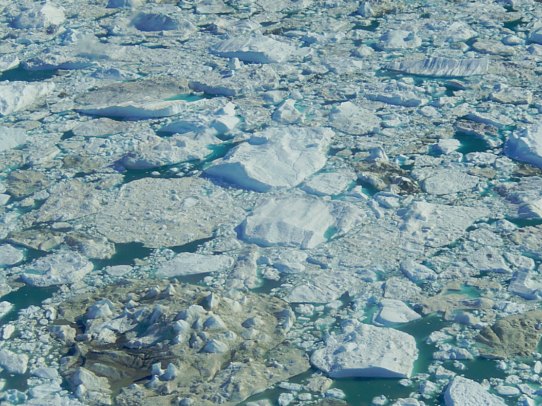
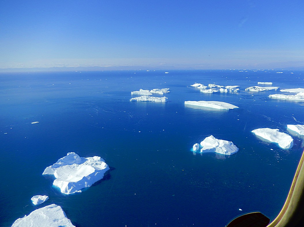
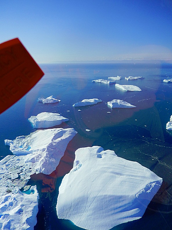
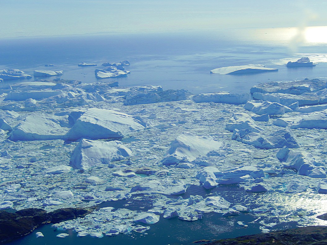
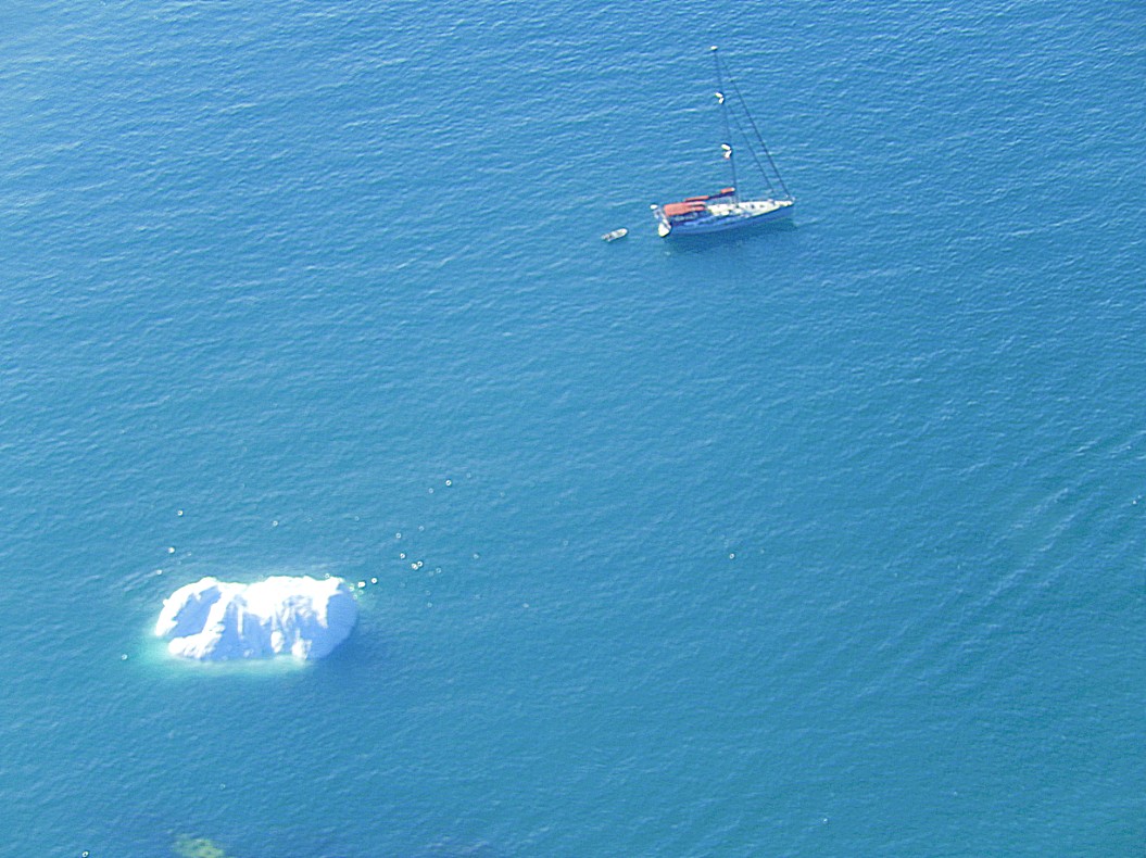
The helicopter continues to follow the slow flow of the icebergs through the Kangia icefjord towards Disko Bay. In this part the icebergs drift even further apart and larger patches of dark water are visible in between…
The fjord is more then 1000 metres deep here so the icebergs flow freely towards Disko Bay…
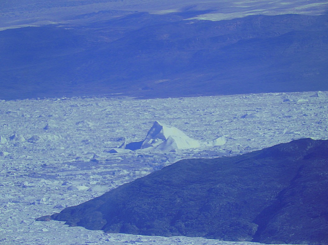
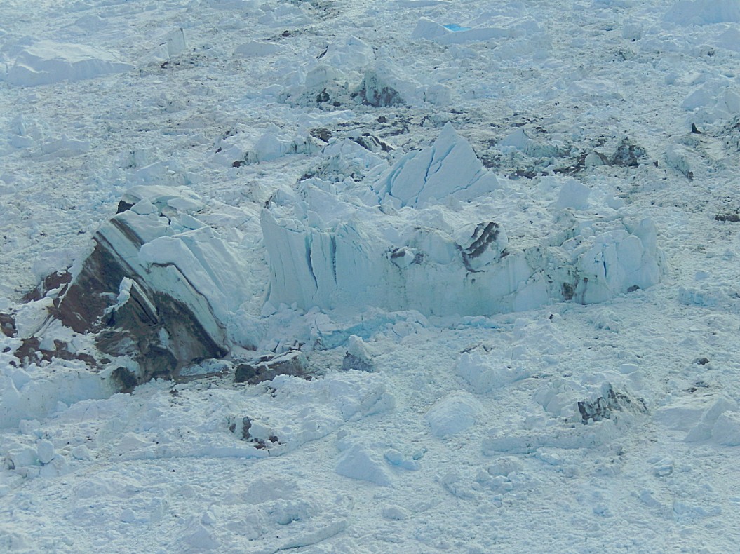
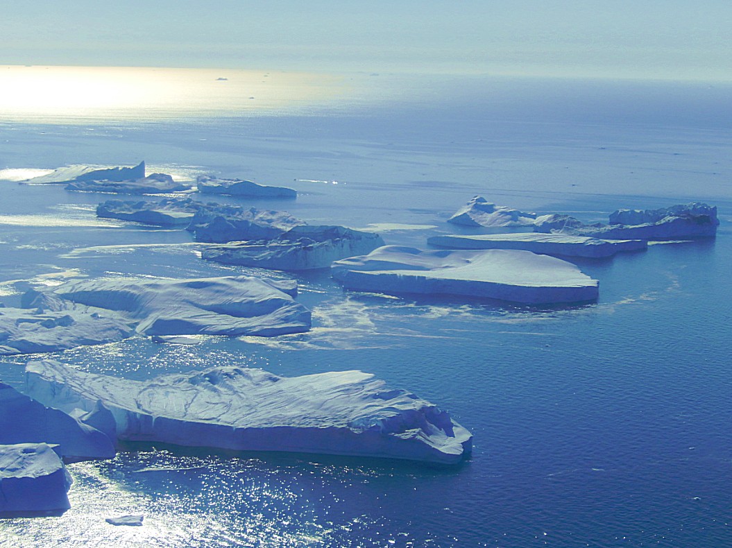
The helicopter finally reaches the end of the 80 kilometres long Kangia icefjord, where it is only 200 to 300 metres deep. Large icebergs get stuck on the underwater moraine rubble and are pushed over and broken into pieces by the constant iceflow coming from the Sermeq Kujalleq glacier. The icebergs than drift into the open water of Disko Bay.
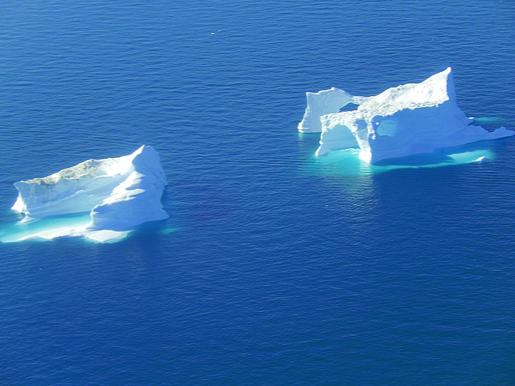
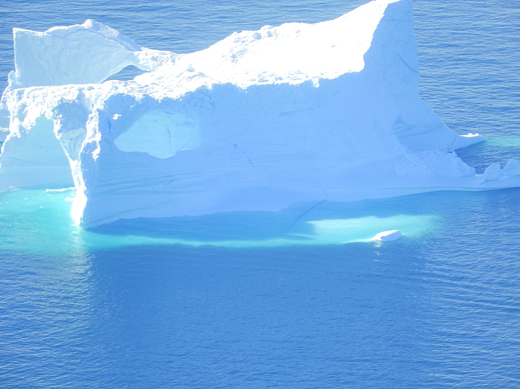
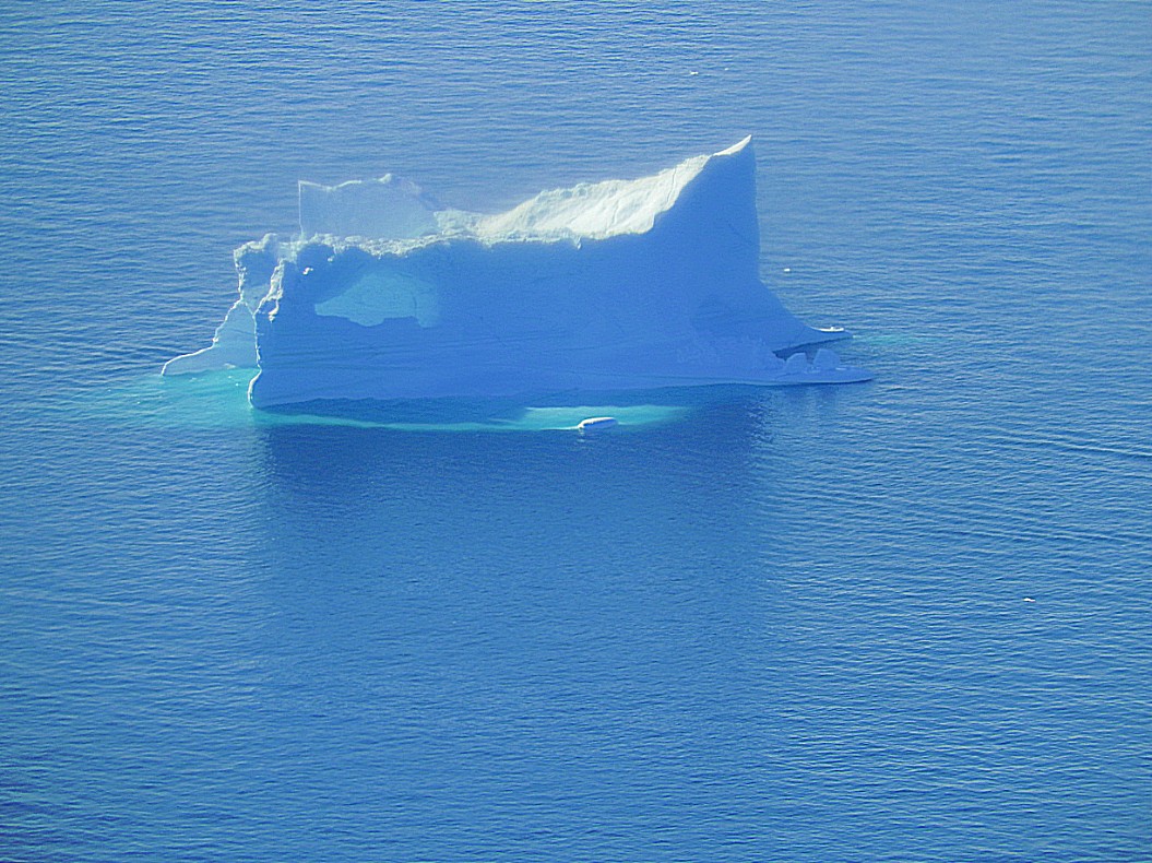
Only 10% of an icebergs is above water level.
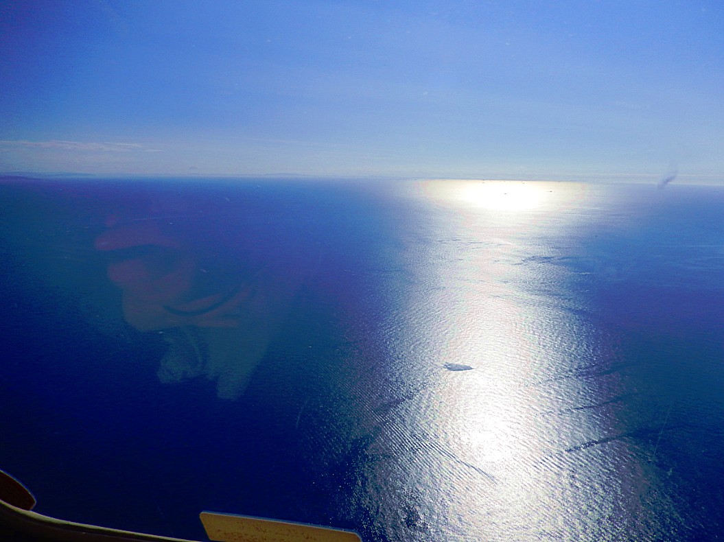
Far away the over a 1000 metres high volcanic mountains of Disko island are visible and the chopper flight ends with a view of Ilulissat bathing in sunlight…
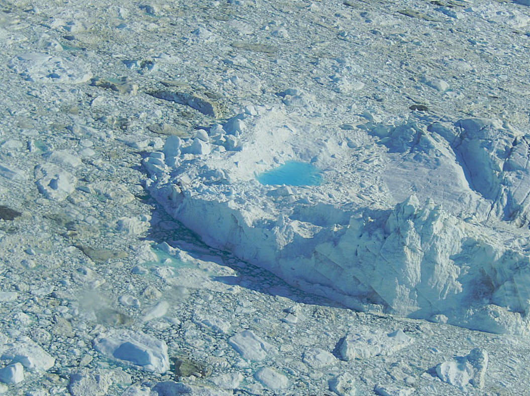
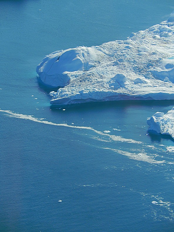
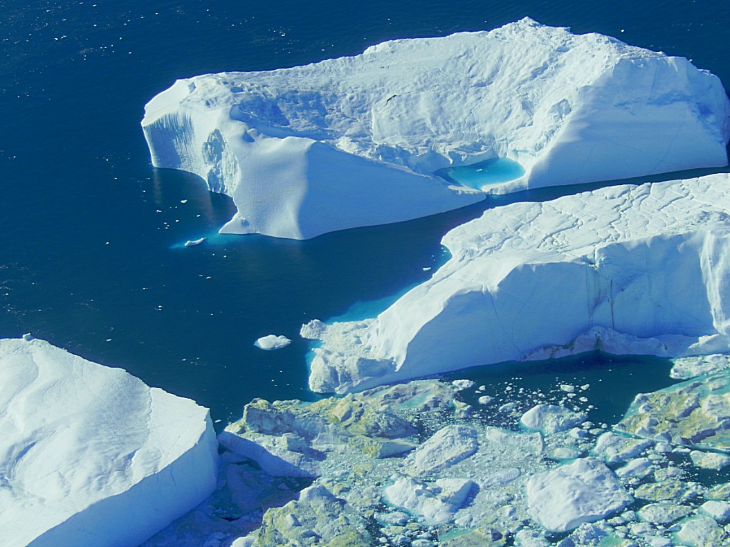
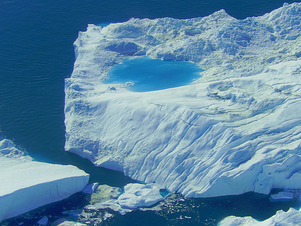
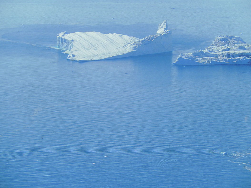
After a large piece of ice breaks from the Sermeq Kujalleq glacier, it is called an iceberg. It drifts through the Kangia icefjord and eventually into Disko Bay. This pic shows 2 (but maybe it is only 1) icebergs. Only 10% of an icebergs is above water level. The rest is underwater, meaning that this could be 1 iceberg of which the midsection above water has collapsed. Icebergs regularly turn over in the water when the weight balance is disrupted due to these collapses of ice or due to slow ice melting. The clear blue water on top or at the edges of an iceberg indicates that there is ice directly under the water surface. One of the things I was still hoping to do before leaving Ilulissat was kayaking near these drifting icebergs
Then the chopper bends north and we flew over Ilulissat to the airport, the end of another great adventure and some lessons learned regarding climate change the effect on the grand masses of ice on our planet.

