England: Final proof: Tolkien based Shire on Cotswolds! – The Cotswolds: Area of Outstanding Natural Beauty (Cotswolds 5 ) – 2016
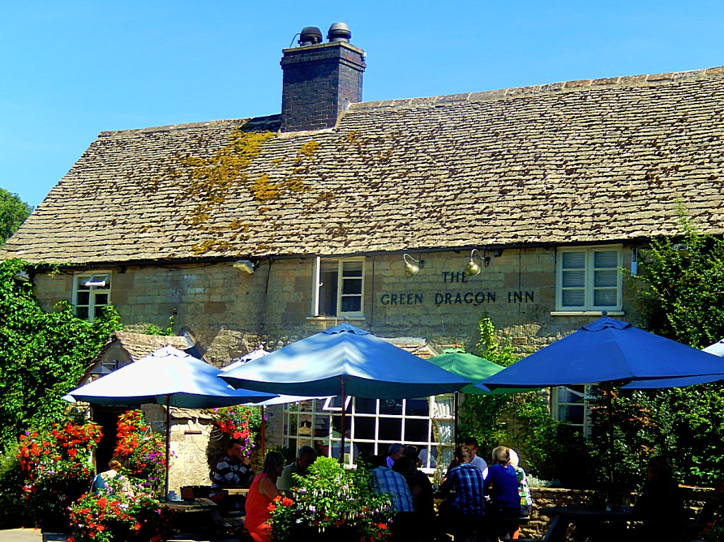
Leaving the Green Dragon Inn
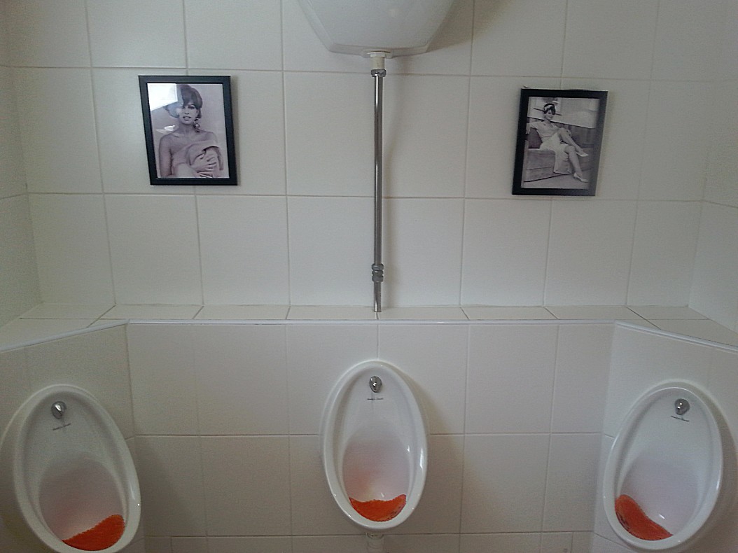
I love photographing toilets, specially when they have something special, remarkable or strange about them and … well let’s be honest, a toilet decorated with pictures of Claudia Cardinale fits that description 😉
 After his last Hobbit breakfast The Wandelgek decided to call for a cab. I had booked for a hotel in Moreton-in-Marsh but wanted to see more of the Cotswolds 1st. The cab driver who had brought me from Moreton-in-Marsh to Cockleford a few days earlier, had given me a company card and had told me that the cab company also did scenic tours. So I decided to try this. I called them and explained where I was and where I needed to be at the end of the tour. The cab arrived at about 11.00 o’clock and the adventure began. The cab driver was a nice older gentlemen who really listened to what I wanted and what I didn’t want to see.
So if you’re up to discovering the Cotswolds than I can advise (and I don’t get paid to do this) you to contact North Cotswolds Taxis and Tours. Book a Tour or book a cab and explain your wishes.
Website: http://www.northcotswoldtaxis.co.uk
Let me explain somethings about the Cotswolds 1st. The cotswolds are an extremely beautiful area in England. This attracts many tourists. I’m talking busloads. Luckily I had prepared myself well and avoided these busloads by checking into an inn in a tiny hamlet and going on long distance hikes through tiny villages, but mostly walking across fields and over hills, but now I was visiting villages in a taxi cab that were reacheable for tourists. Now although lots of villages in the Cotswolds are very pretty, offering views of streets full of buildings in Cotswolds Stone, they partially have succumbed to the Tourism Industry. These villages are quite small, have narrow streets and small houses, but nevertheless they have a hotel/Inn pub or even several of those and a shopping area. Imagine these cozy, quite pitoresque little towns, but now crowded with touring cars, cars and tourists and you are starting to get my point. Not an attractive sight at all!
But it is possible to enjoy the Cotswolds in a completely different way too. Avoiding the tourist traps as much as possible. A knowledgeable cab driver can help you with that.
The Tolkien link
Although it is very hard to really prove whether Tolkien based specific locations/sites from The Hobbit and The Lord of the Rings on specific sites in the Cotswolds, there are some things to consider which make it extremely plausible. 1st The professor was a student, teacher and professor at Oxford University and a resident of Oxford even after he retired. He was also a fervent lover of nature and of long distance walking, which on several occasions brought him to the Cotswolds which are practically Oxford’s backyard. We do know that Tolkien based his Shire on Middle England and that’s where we find the Cotswolds and last but not least, the names on his maps and in his books do bear at least a certain similarity but often a real resemblance to those used in Middle England and in the Cotswolds.
Now with that in mind, The Wandelgek crossed these lands and he saw some names, but also places that were similar to descriptions by Tolkien and were plausibly of influence on his ideas. But almost all of them were not conclusive, except for one, which really convinced The Wandelgek that this was indeed part of the environment which influenced Tolkien in his Shire writings…
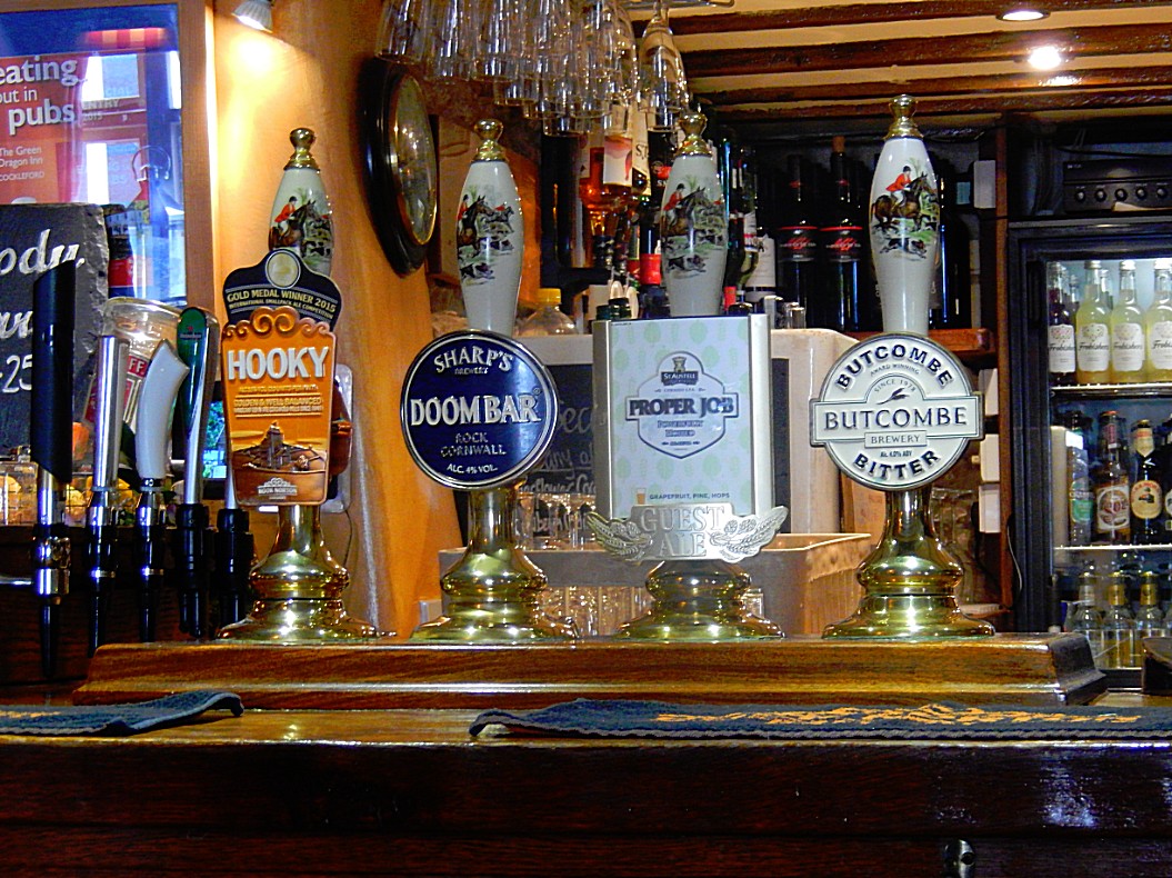
But lets start at the start. The Green Dragon Inn. Of course this is the Inn on which Tolkien based his Green Dragon Inn from Lord of the Rings, you might say. It is plausible, however not conclusive, because the name Green Dragon Inn is a much used name in England, although I didn’t find another one in the Cotswolds area. The Wandelgek did of course choose this Inn to stay, because of its name, but also because of its interior and its choices of menu and local beers.
It breaths Tolkien or Hobbit and that is that. It’s a feeling.
I’m not going to get deeper into this because I already wrote about the origin of its name in an earlier Cotswolds blog.
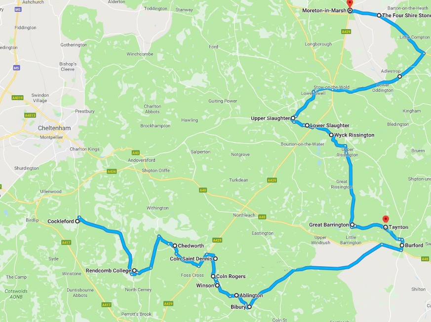
The Taxi/cab route:
After breakfast the cab arrived.
Cockleford, Rendcomb, Chedworth, Coln Saint Denis, Coln Rogers, Winson, Ablington, Bibury, Burford, Taynton, Great Barrington, Wyck Rissington, Upper Slaughter, Lower Slaughter, Stow-on-the-Wold, The Four Shire Stone, Moreton-in Marsh.
Rendcomb
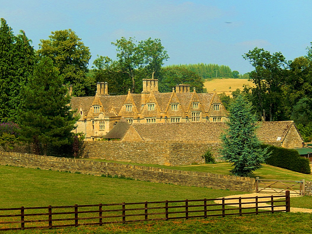
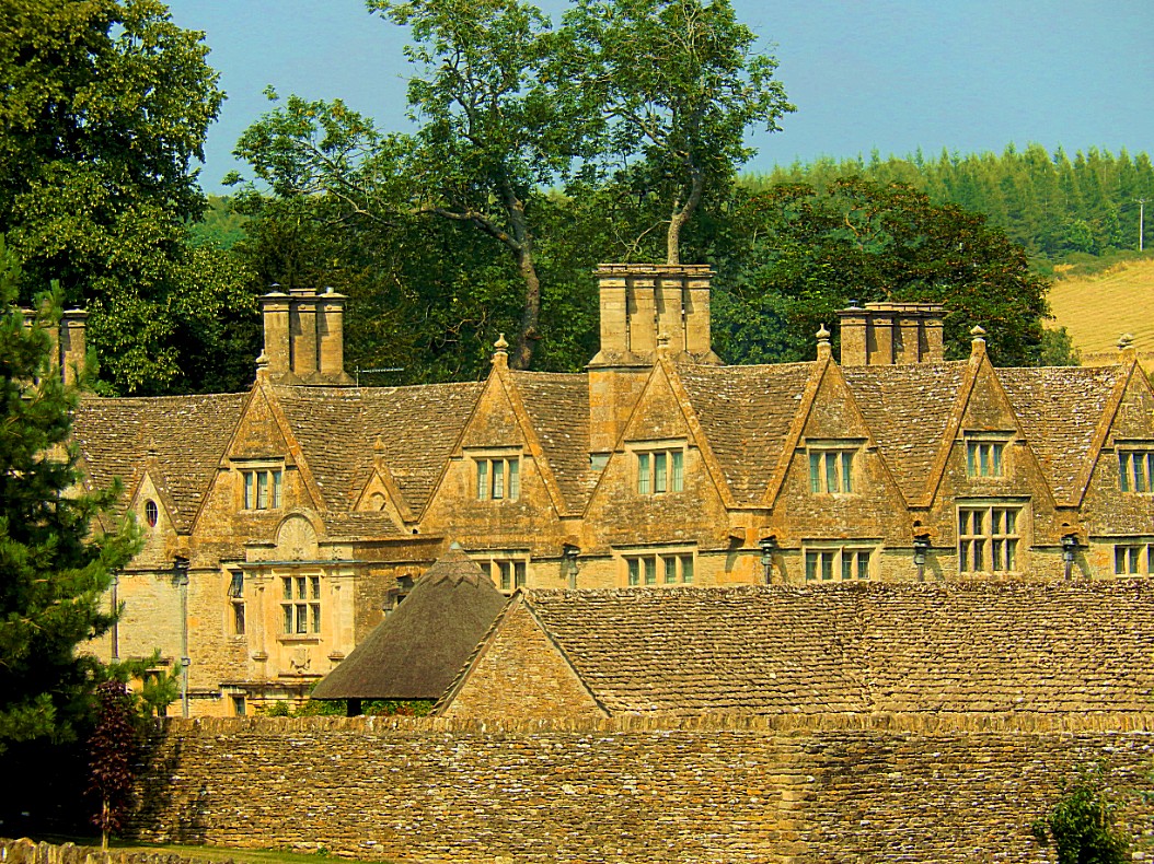
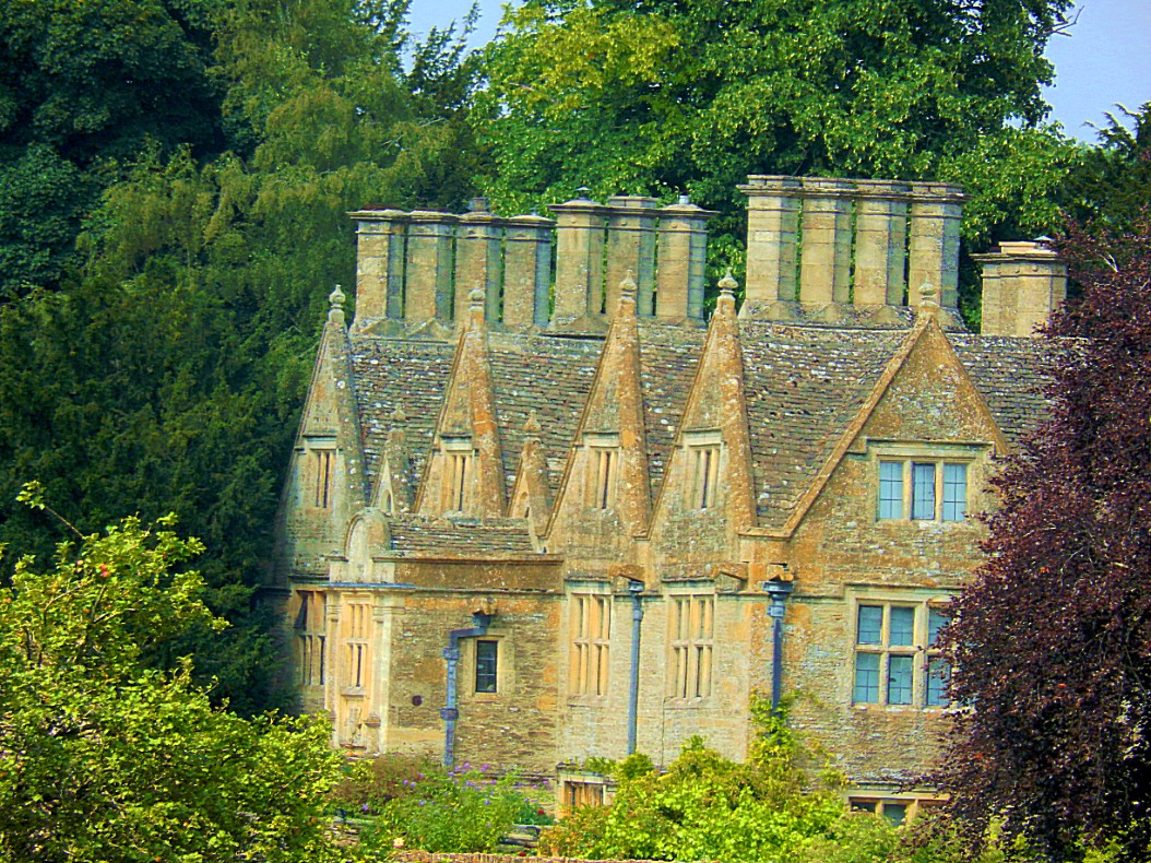
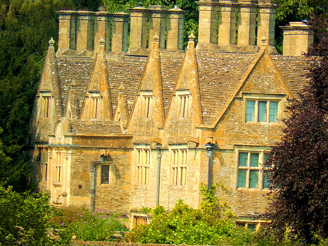
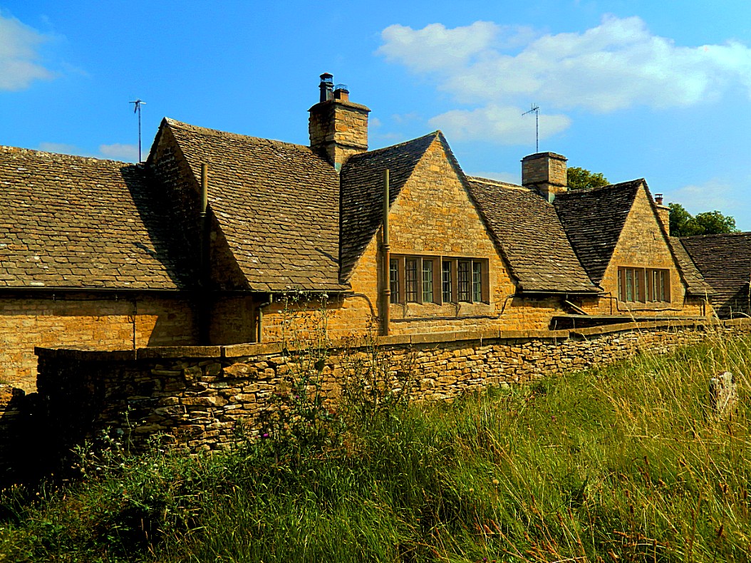
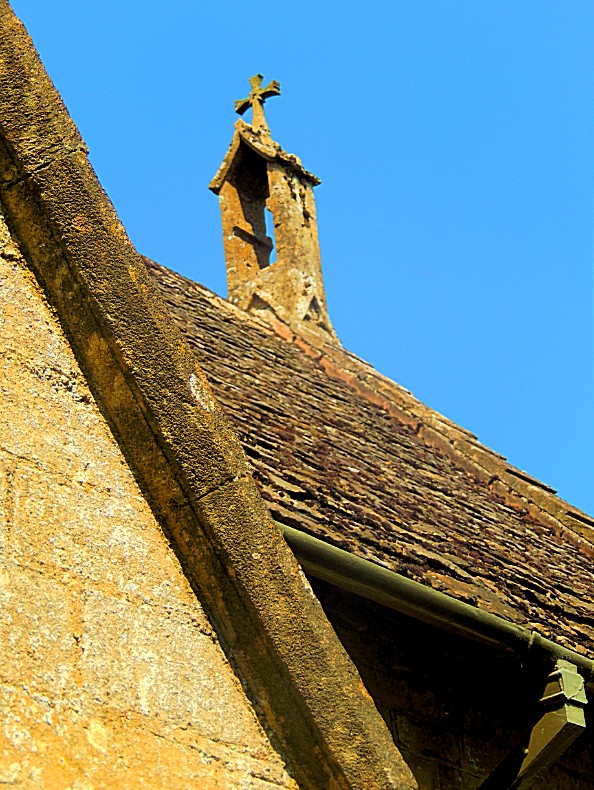
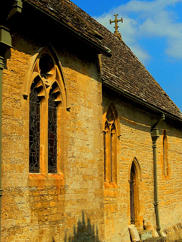
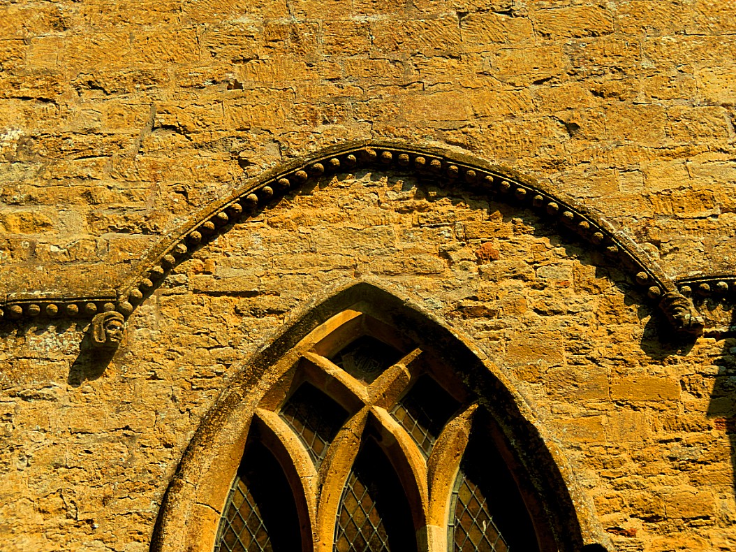
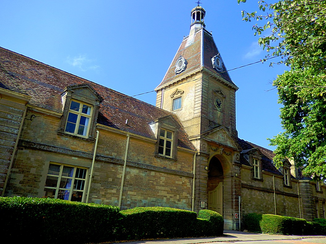
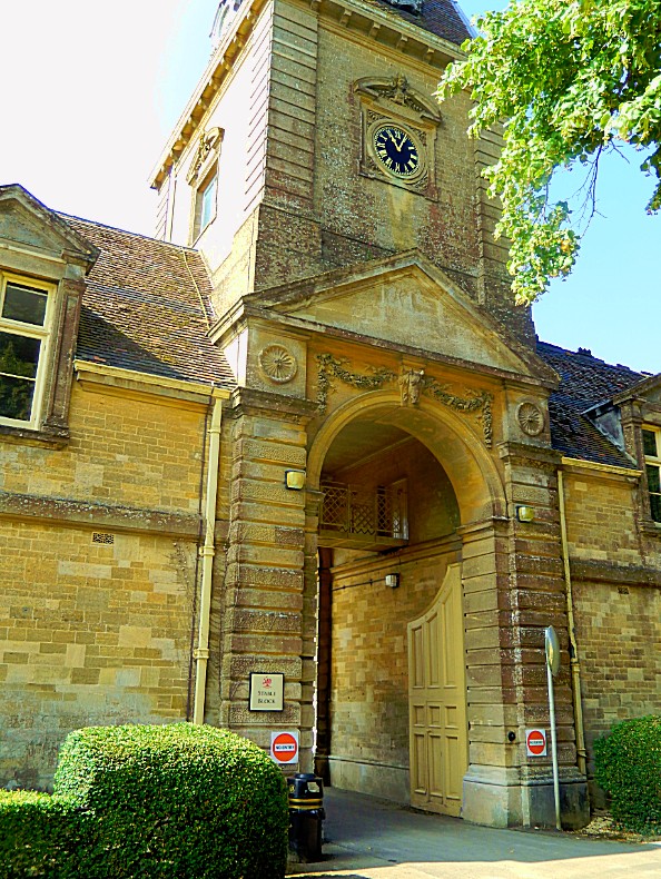
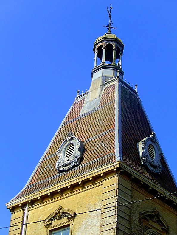
Rendcomb is a village in the Cotswold local authority area of the English county of Gloucestershire. It is about five miles north of Cirencester. In 1920, Rendcomb College (as shown on the 2 pics below) was founded in the Country House adjacent to the village.
My cab driver 1st needed to post a package. The post office and the college were both build with beautiful Cotswolds stone.
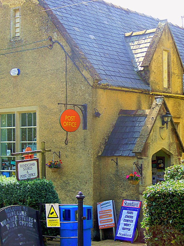 Again the name Rendcomb made me think of the name Combe, of which I mentioned in an earlier blog about the Cotswolds, its relation with The Lord of the Rings.
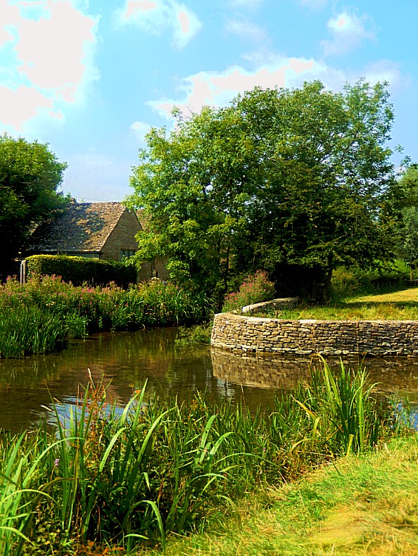
Of Cotswolds stone and walls
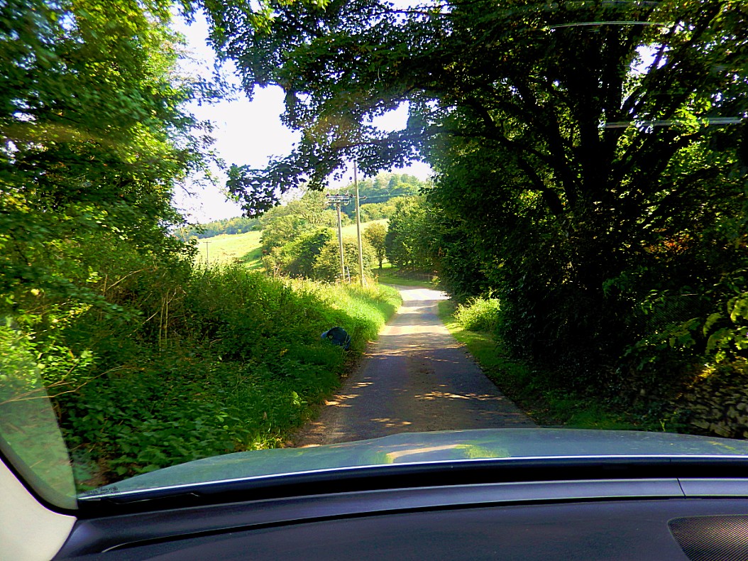
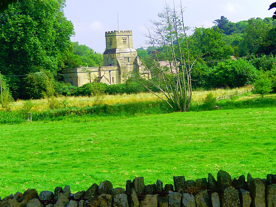
Next we drove towards Chedworth over narrow, curvy roads with grand views over The Shire country…
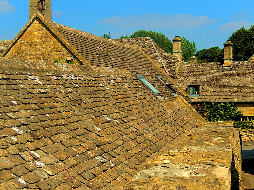
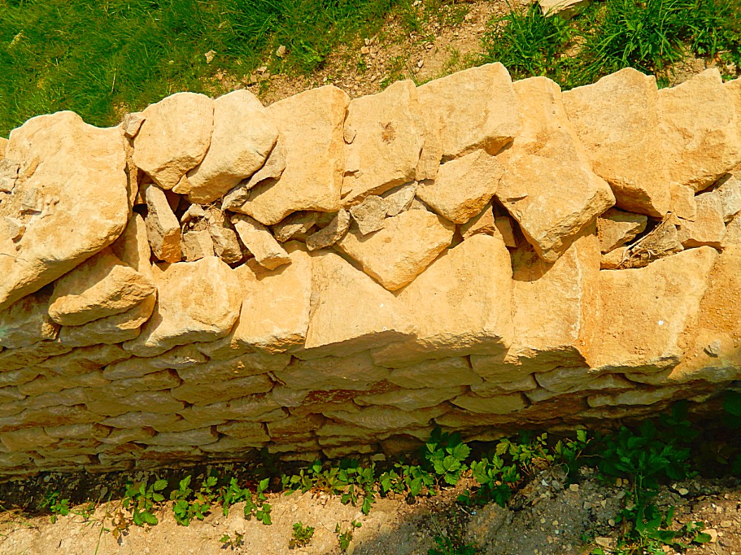
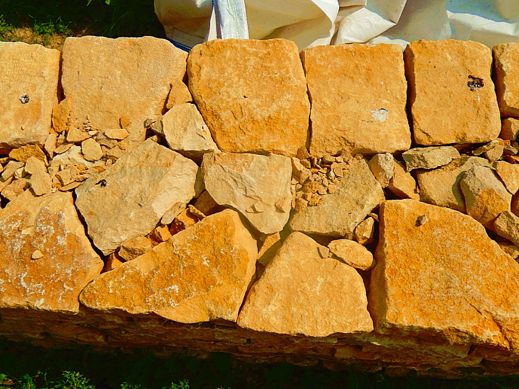
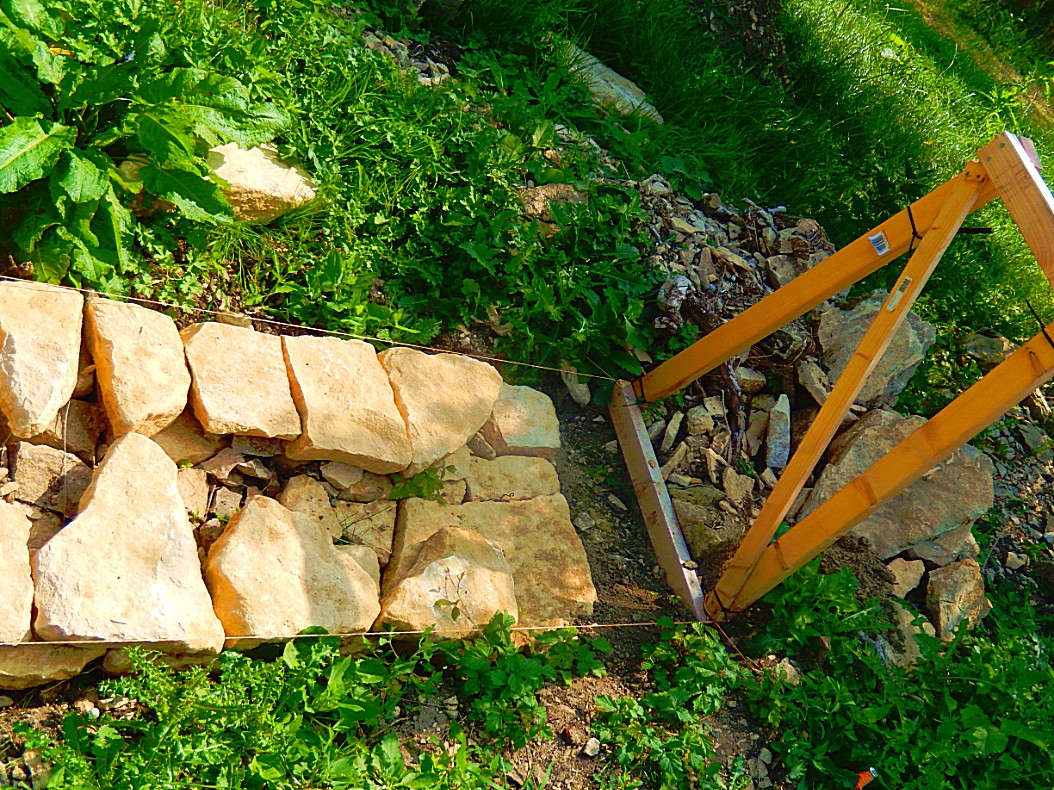
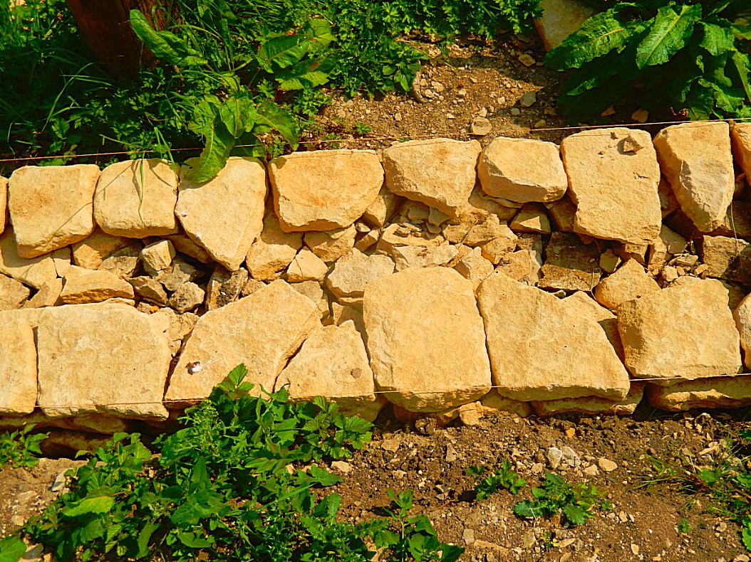
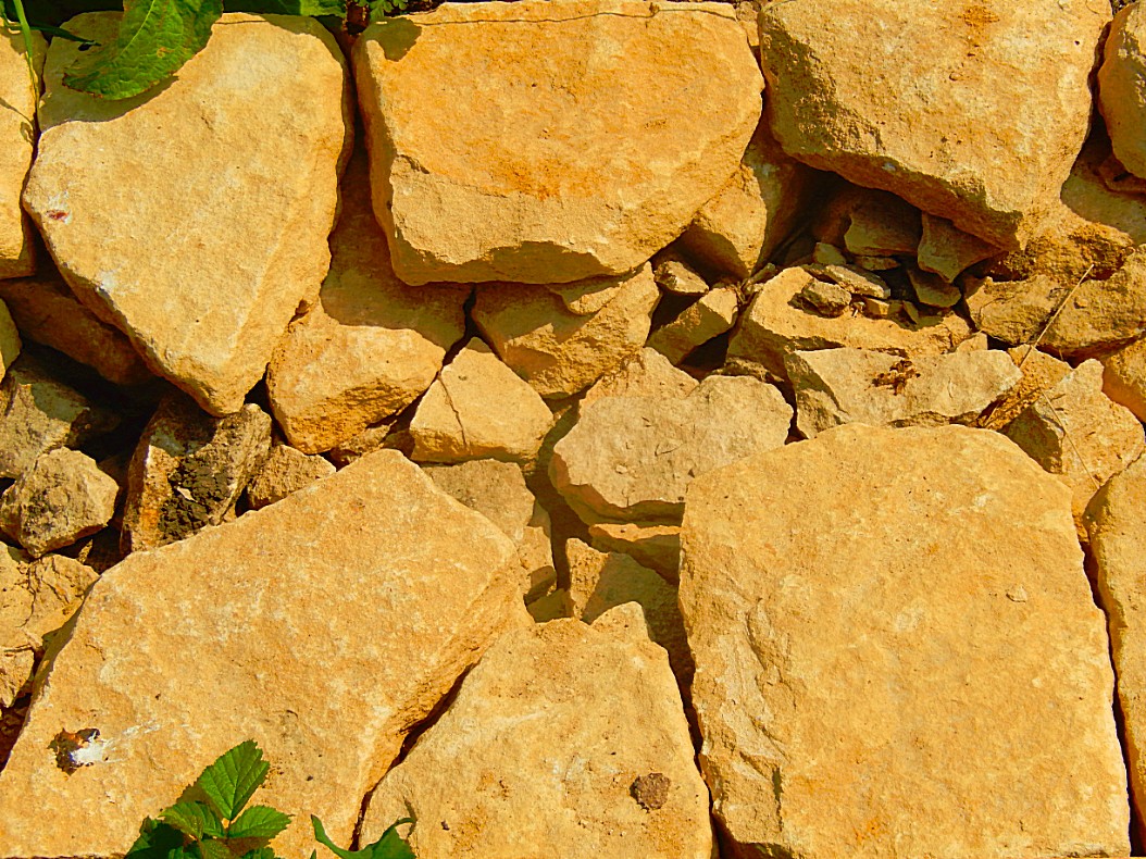
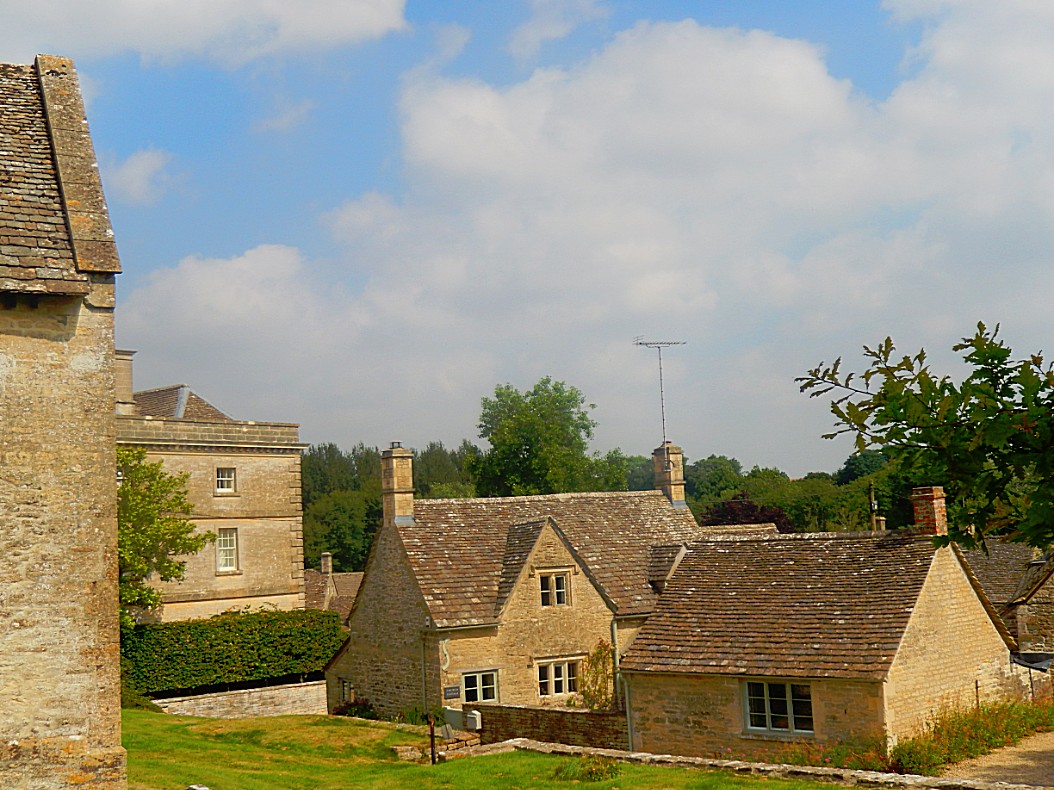
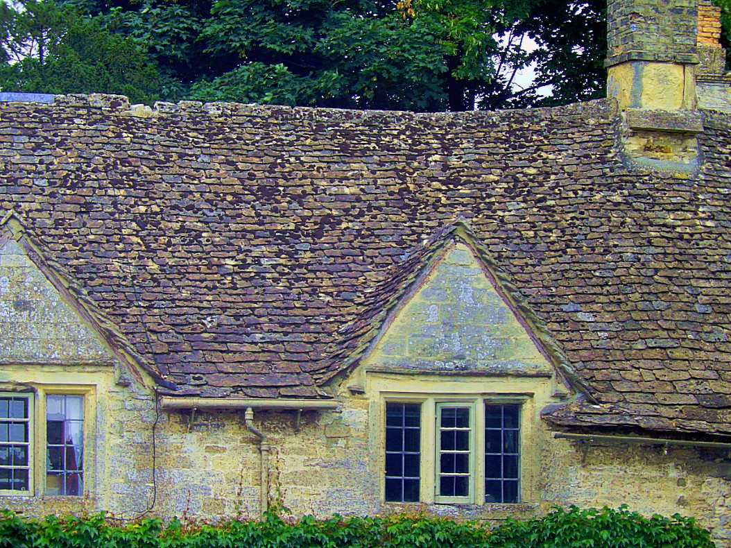
Everywhere in the Cotswolds you’ll see cottages and other buildings, build of Cotswolds stone, but what is Cotswolds stone? To explain this, my cab driver decided to stop at a wall that was still under construction …
Cotswolds stone
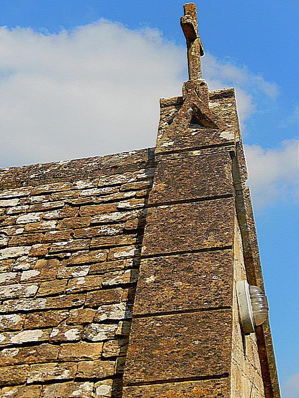
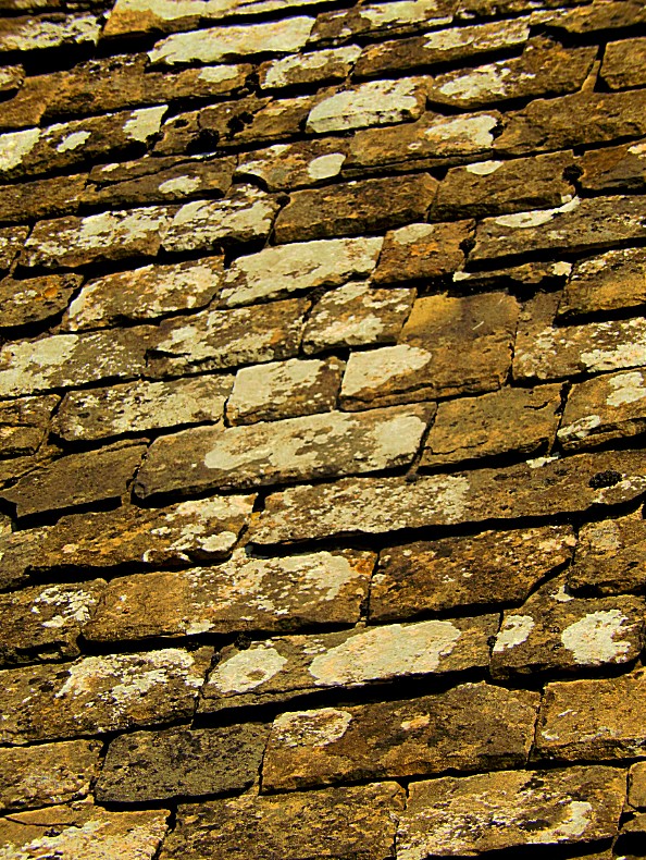
Cotswold stone is a yellow oolitic Jurassic limestone. This limestone is rich in fossils, particularly of fossilised sea urchins. When weathered, the colour of buildings made or faced with this stone is often described as honey or golden. The stone varies in colour from north to south, being honey-coloured in the north and north east of the region, as shown in Cotswold villages such as Stanton and Broadway; golden-coloured in the central and southern areas, as shown in Dursley and Cirencester; and pearly white in Bath. The rock outcrops at places on the Cotswold Edge; small quarries are common. The exposures are rarely sufficiently compact to be good for rock-climbing. However, an exception is Castle Rock, on Cleeve Hill, above Bishop’s Cleeve, near Cheltenham. Due to the rapid expansion of the Cotswolds in order for nearby areas to capitalize on increased house prices, well known ironstone villages, such as Hook Norton, have even been claimed by some to be in the Cotswolds despite lacking key features of Cotswolds villages such as Cotswold stone and are instead built using a deep red/orange ironstone, known locally as Horton Stone.
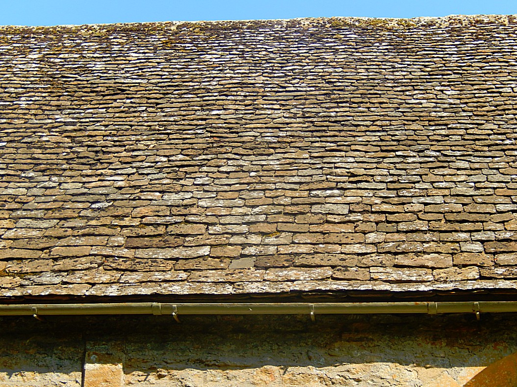
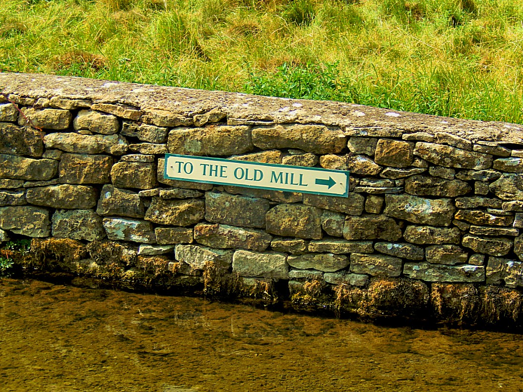
Dry stone walls are found in many parts of the country, wherever stone is abundant, but nowhere is the material more suited to the job than on the Cotswold Hills. It is quarried and delivered to the sight with two sides roughly parallel.
There were two great wall building periods on the Cotswolds, at the time of the enclosures in the 18th century and the times of depression in the 19th century when the great landowners built walls around their estates to provide employment for those who were out of work. The craft, or is it an art? of dry stone wall building goes back 5,000 years to the Stone Age, when many of the long barrows on the Cotswolds had dry stone walls at their entrances and along the sides.
Coln St. Denis
We drove forward through typical beautiful Cotswolds country through yhe village of Chedworth towards the Coln valley and the village of Coln Saint Denis.
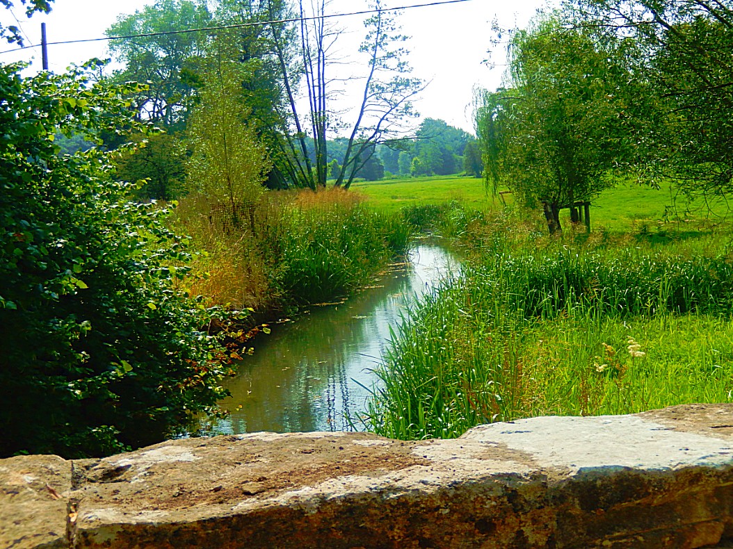
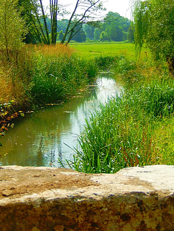
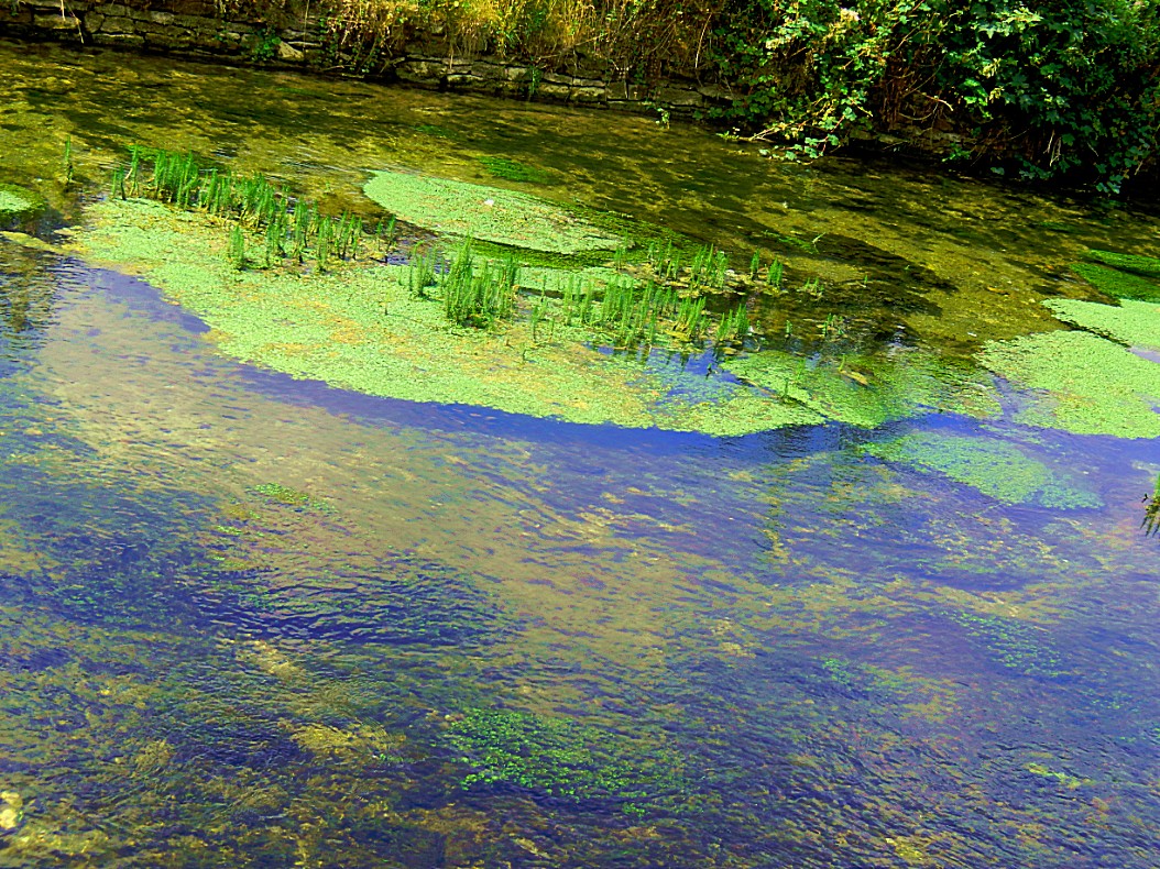
Just before entering Coln St. Denis, we crossed the river Coln.
Coln St. Dennis is a village and civil parish on the River Coln in Gloucestershire about 3 miles (4.8 km) southwest of Northleach and about 7 miles (11 km) northeast of Cirencester. The parish includes the village of Coln Rogers and the hamlets of Calcot, Fossebridge and Winson. The Fosse Way Roman road, which is now the A429 trunk road, forms the western boundary of the parish.
History
About 1.3 miles (2.1 km) southwest of Coln Rogers are Colnpen Long Barrow and a group of four round tumuli. All are prehistoric burial mounds.
The Church of England parish church of Saint James the Great is Norman, with the addition of some Decorated Gothic and Perpendicular Gothic windows and oher details. The church was dedicated to Saint Katherine in the 13th century, Saint Dennis in the 18th century, and is believed to have once been dedicated to Saint Kenelm.
Coln St. Dennis Manor House was built in the 17th century and altered in 1965. Pindrup is a farmhouse dating from the 17th and 18th centuries. St. James’ Rectory was designed by Richard Pace and built in 1810.
Coln Rogers
Driving further we now arrived in Coln Rogers.
Coln Rogers is a village in the Cotswold district of the English county of Gloucestershire.
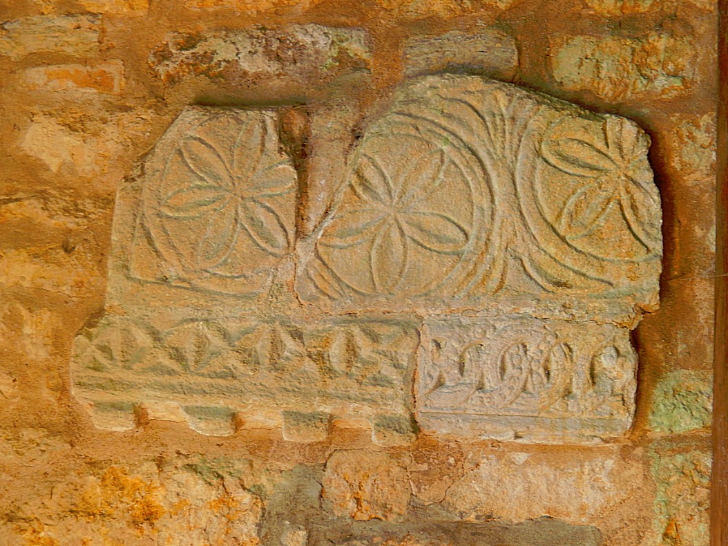
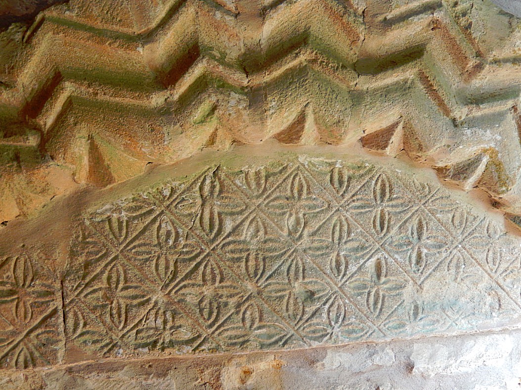
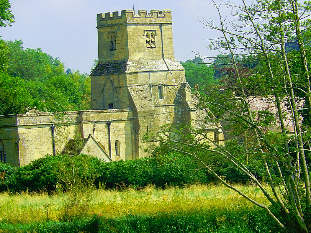
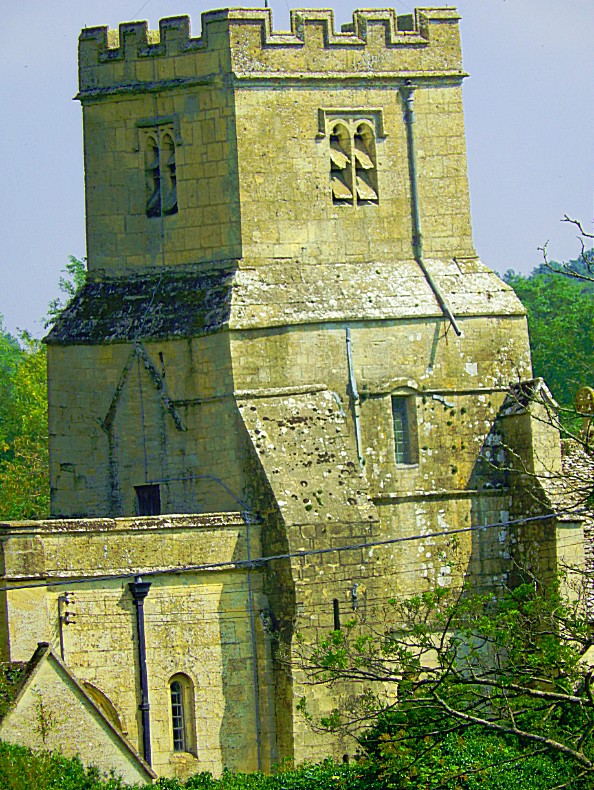
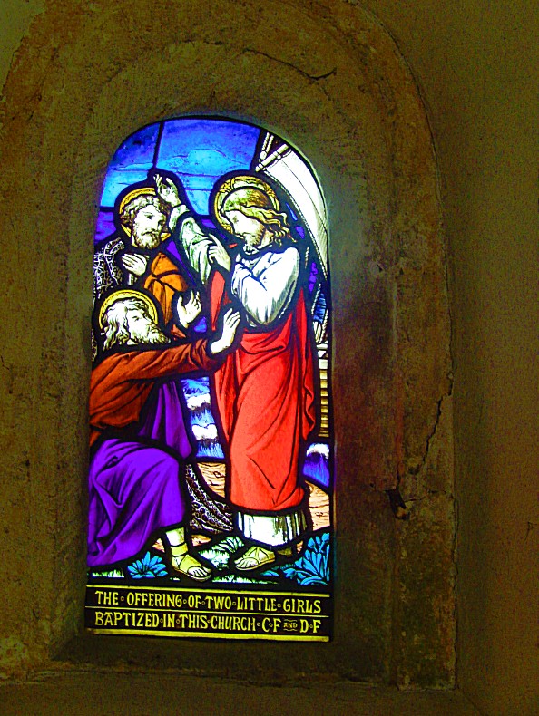
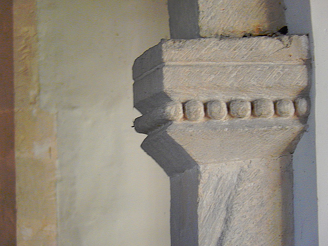
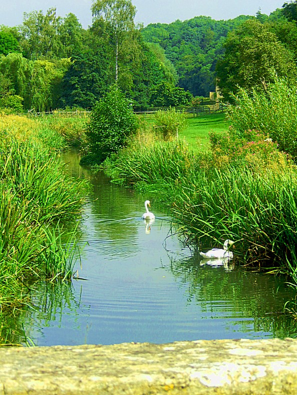
Coln Rogers lies on the River Coln and is one of the “Thankful Villages”. There is a bridge over the river. The Church of England parish church has been described as “unique in the Cotswolds in that it has a Saxon nave and chancel which have survived almost intact, except for the enlargement of all but one of the original windows, the rebuilding of the east end of the chancel, and the erection of a west tower within the nave”.
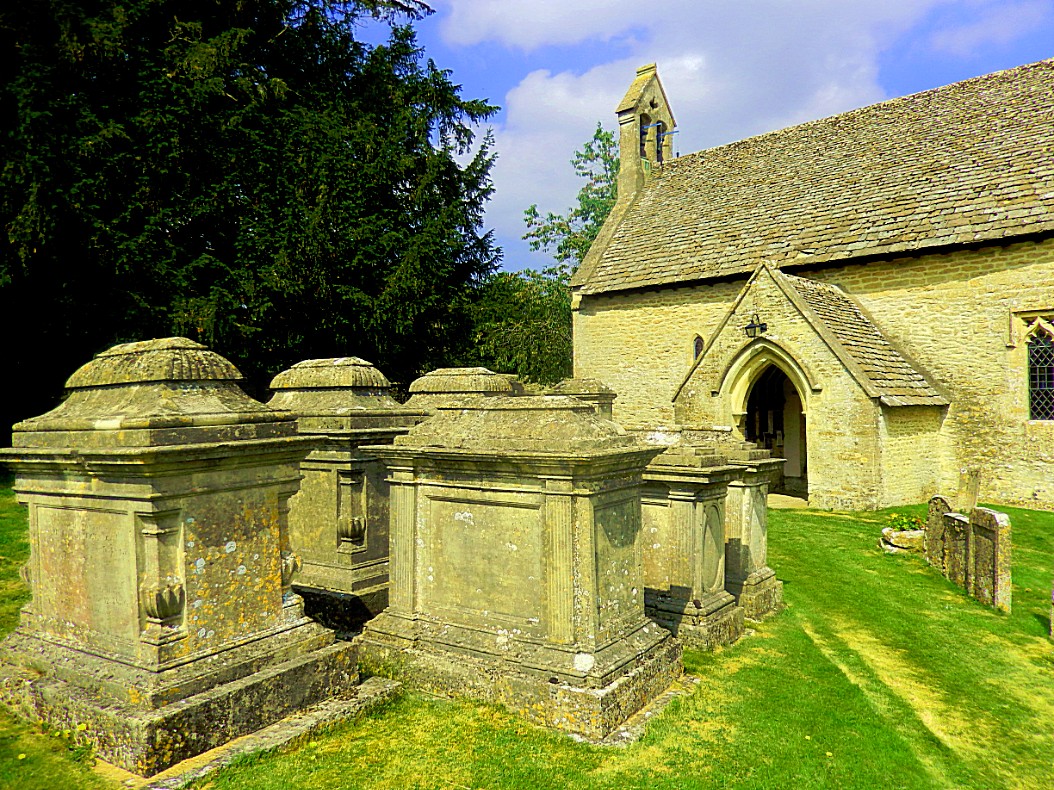
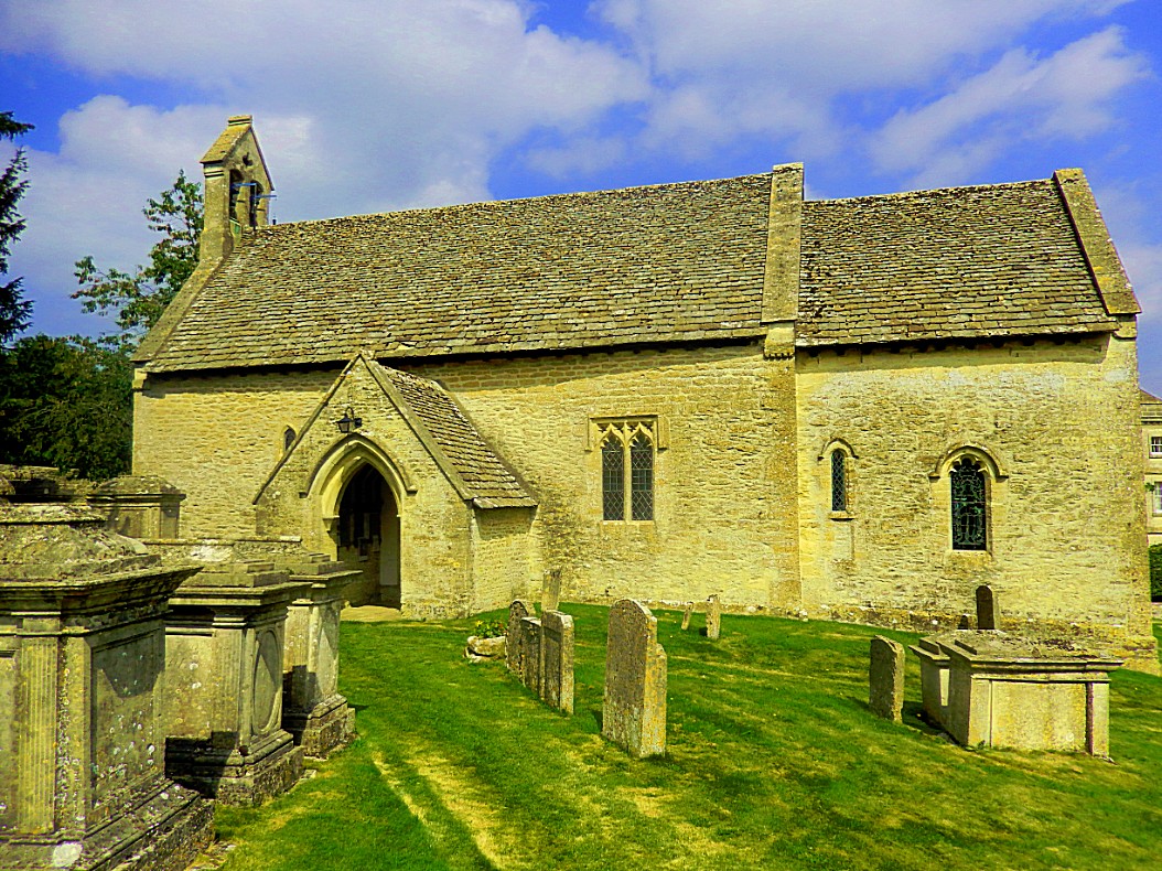
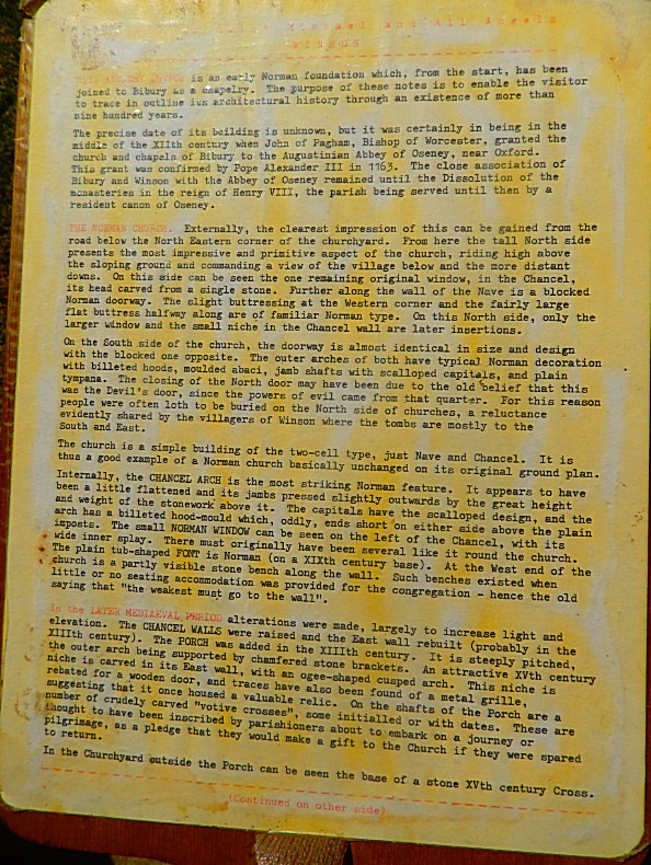
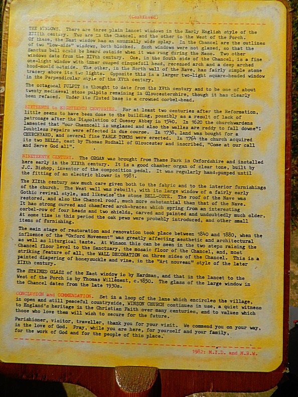
Winson
We drove on to the next village, Winson, and crossed the River Coln again just outside the village.
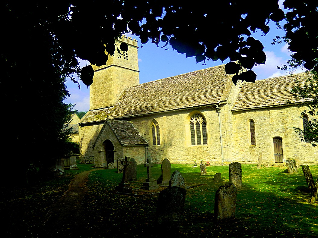
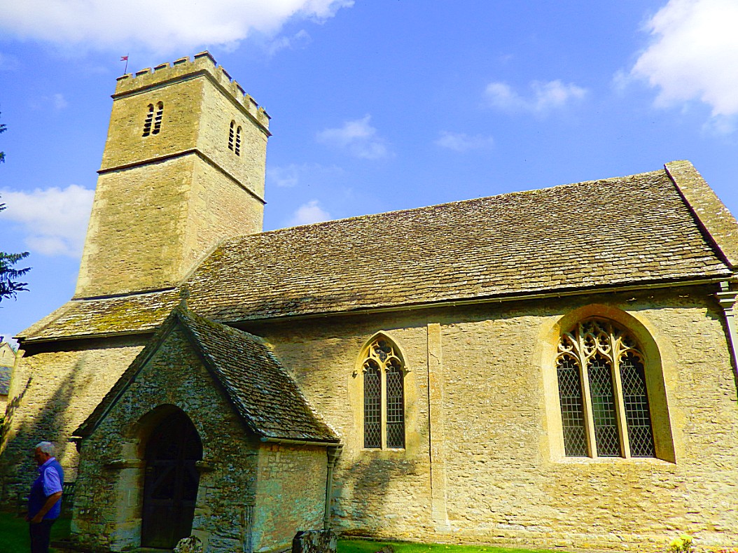
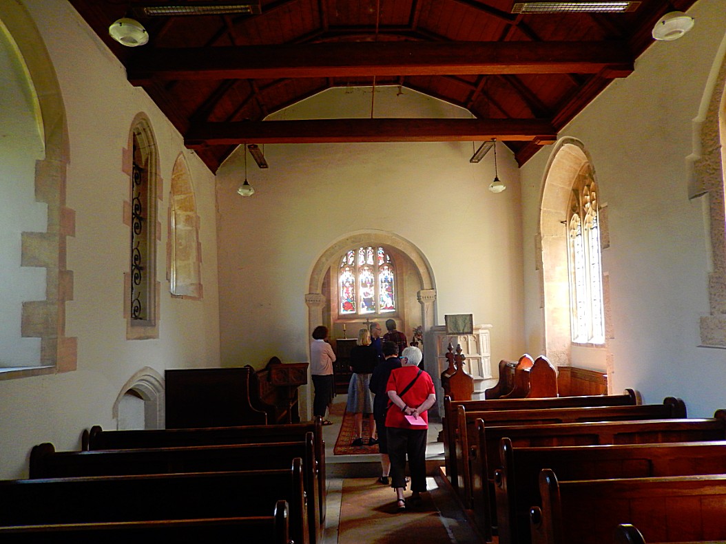
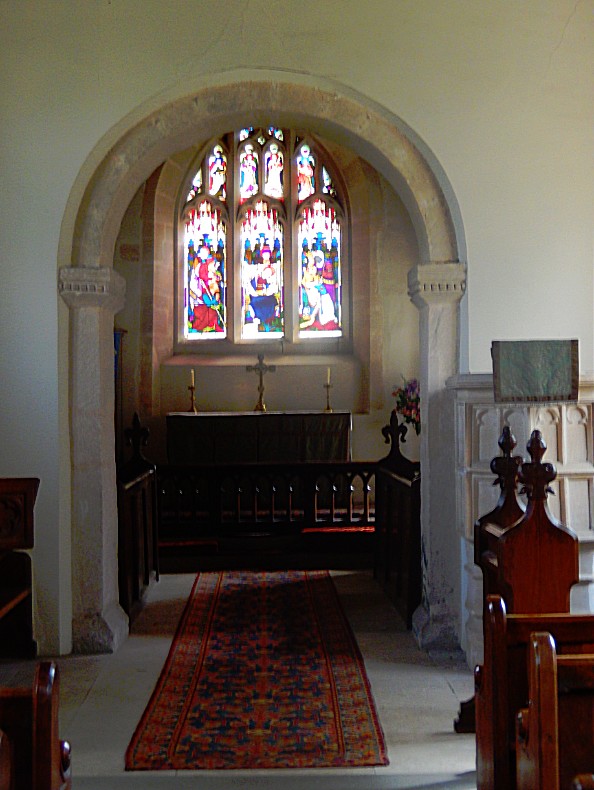
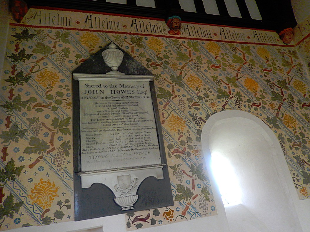
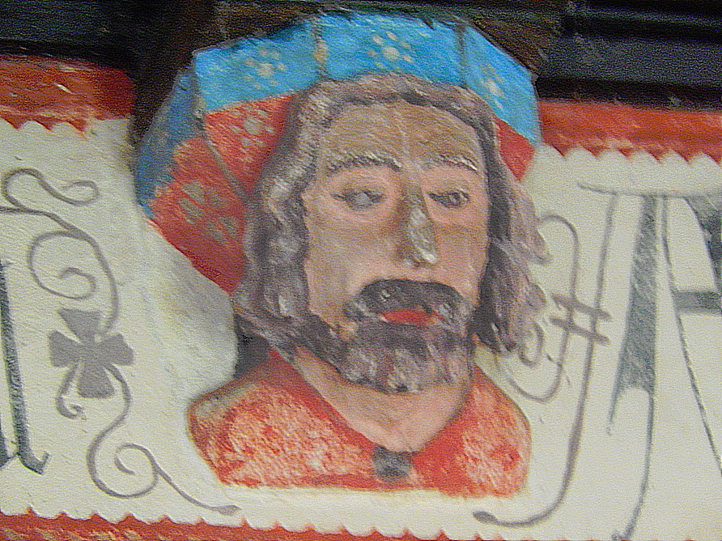
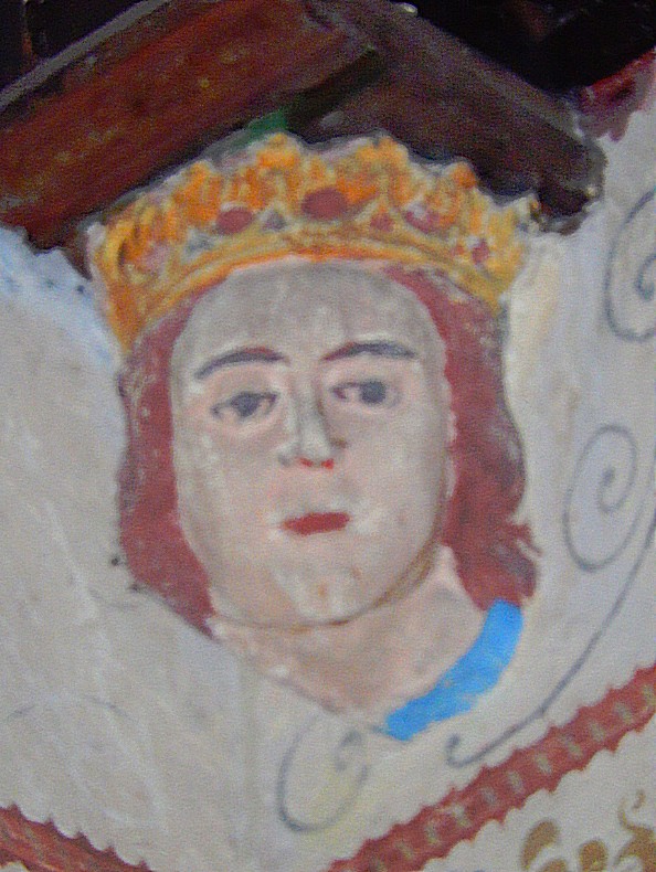
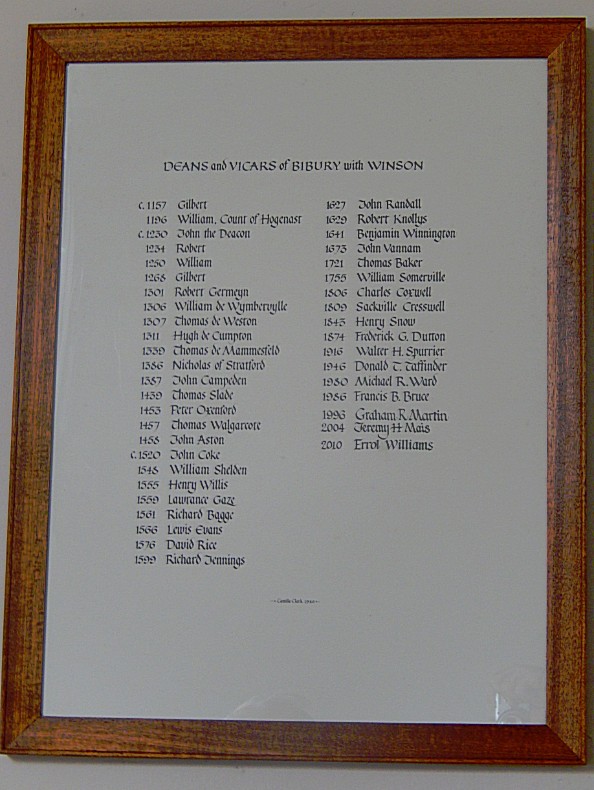
The church of St Michael stands on a shelf of land just off the quiet lane that leads from Bibury and Adlington to Coln Rogers. The proximity to Bibury explains why St Michael’s was originally a chapel under the auspices of Bibury church.
Bibury
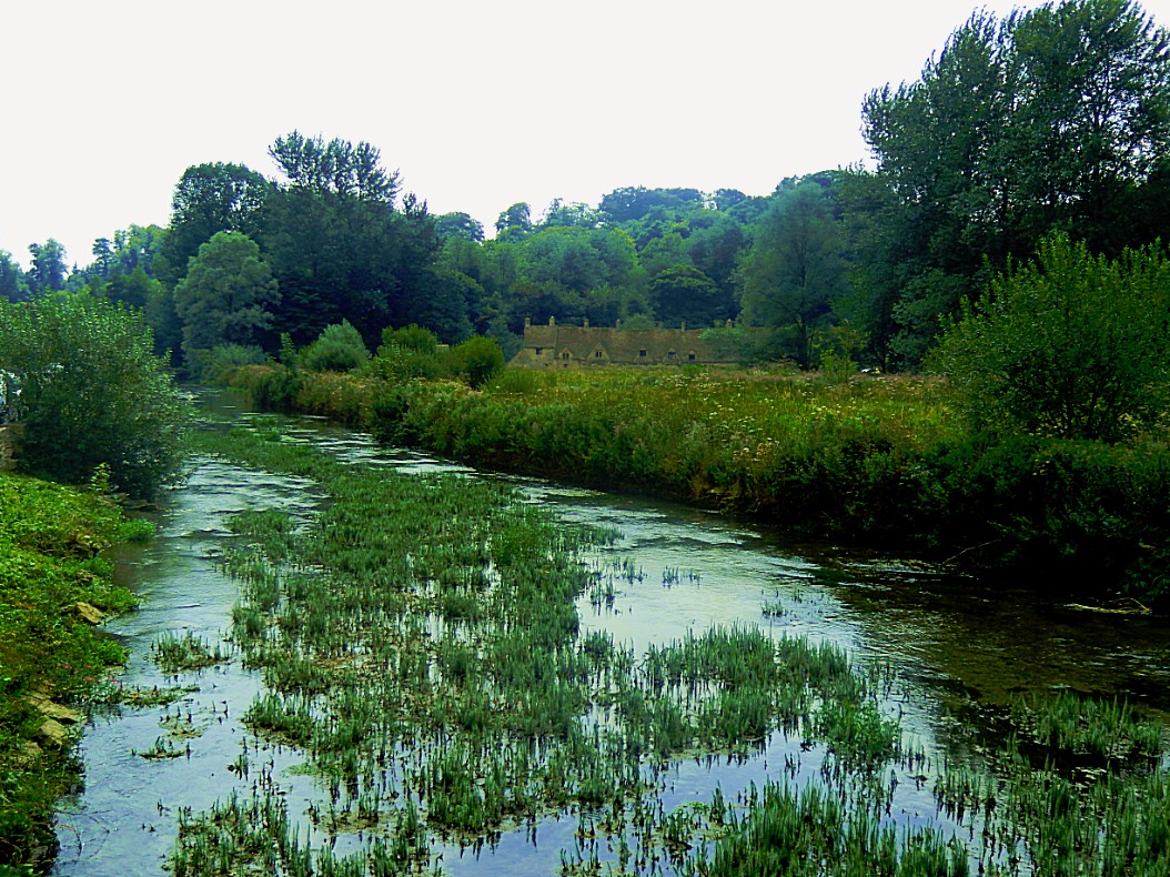
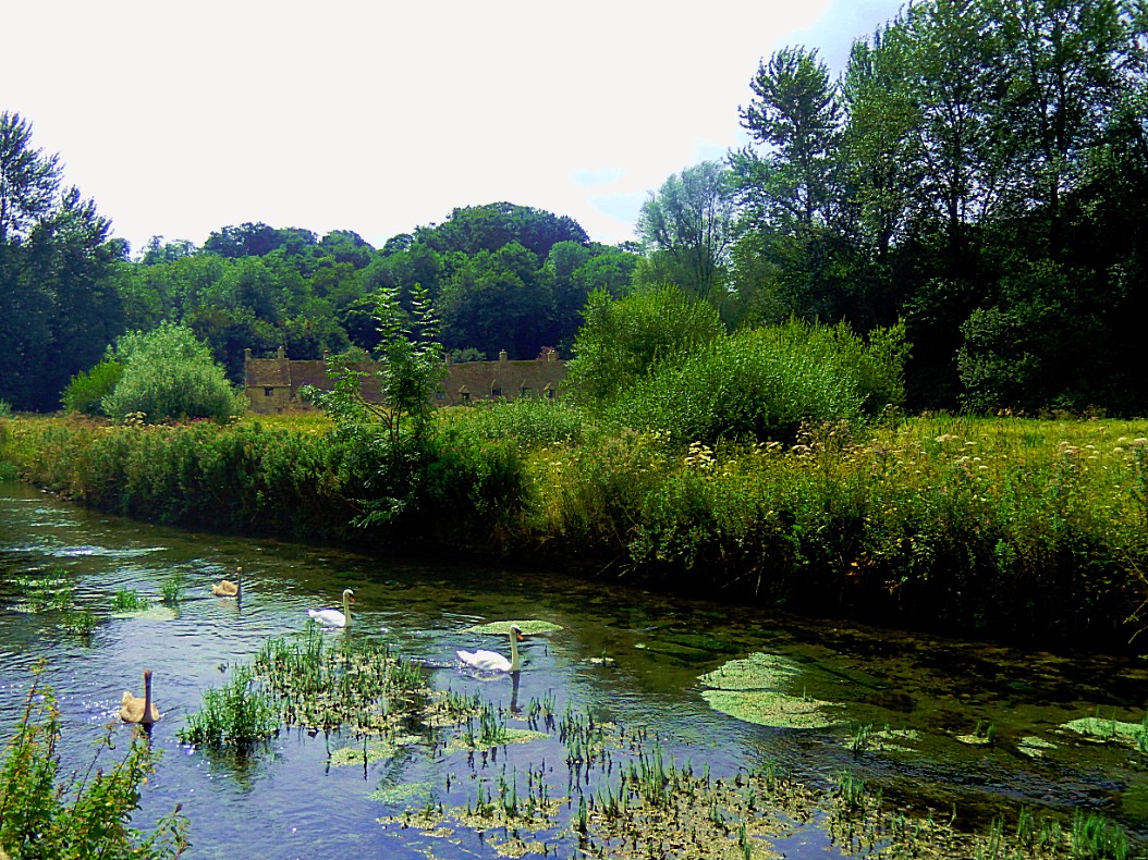
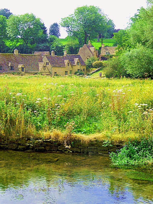
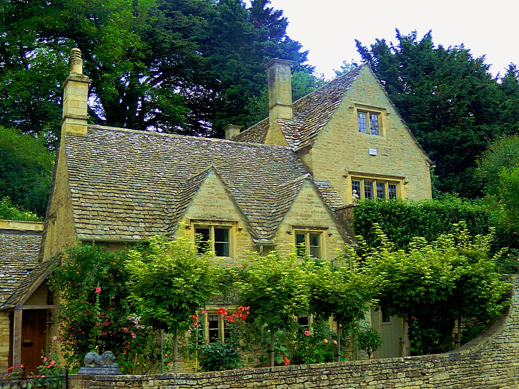
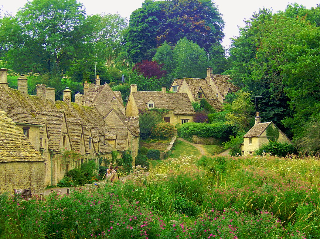
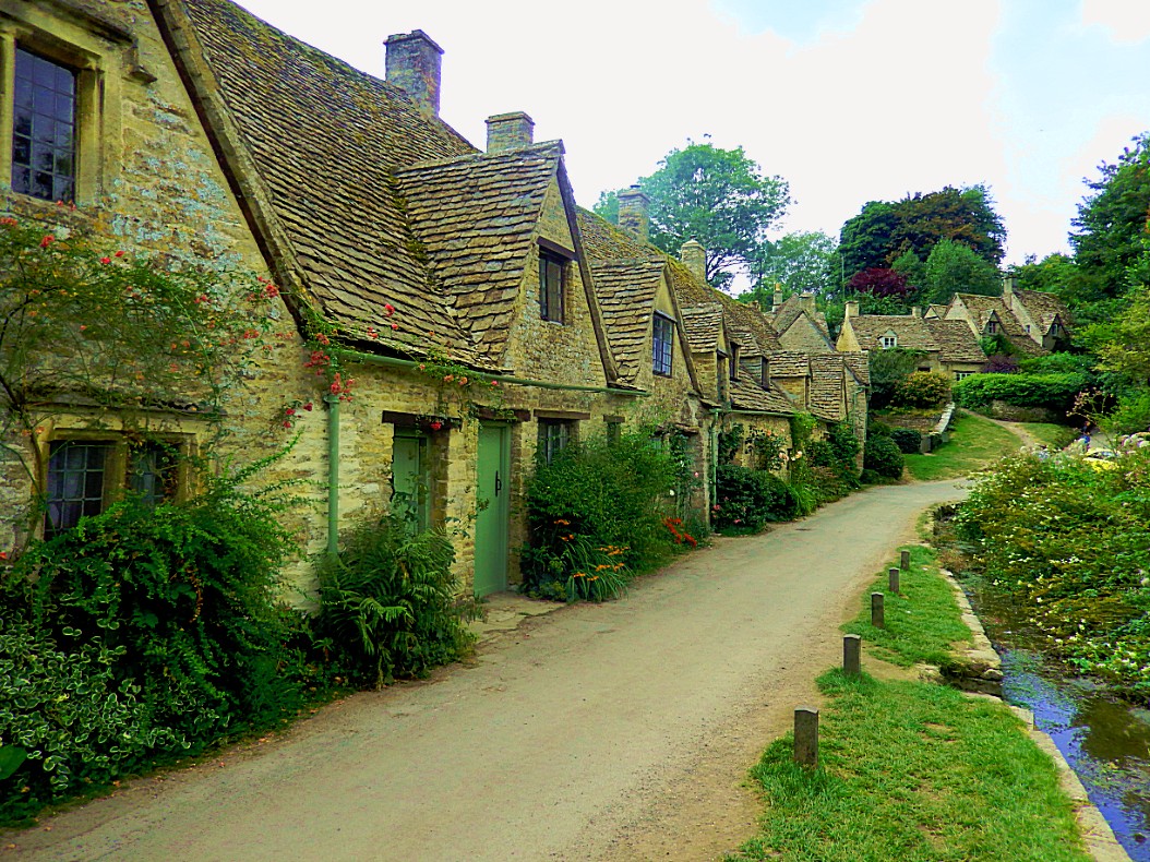
Bibury is a village and civil parish in Gloucestershire, England. It is on both banks of the River Coln which rises in the same (Cotswold) District and which is a Thames tributary. The village is centred 6 1⁄2 miles (10 km) northeast of Cirencester. Arlington Row here is a nationally notable architectural conservation area depicted on the inside cover of all United Kingdom passports. It is a major destination for tourists visiting the traditional rural villages, tea houses and many historic buildings of the Cotswold District; it is one of six places in the country featured in Mini-Europe, Brussels.
History
In the Domesday Book (1086), a record of survey done under William the Conqueror, the place is named Becheberie, and it is recorded that the lands and church in Bibury were held by St. Mary’s Priory at Worcester, from whom it passed in 1130 to the Abbey of Osney, near Oxford: the Abbey continued to hold it until its dissolution in 1540.
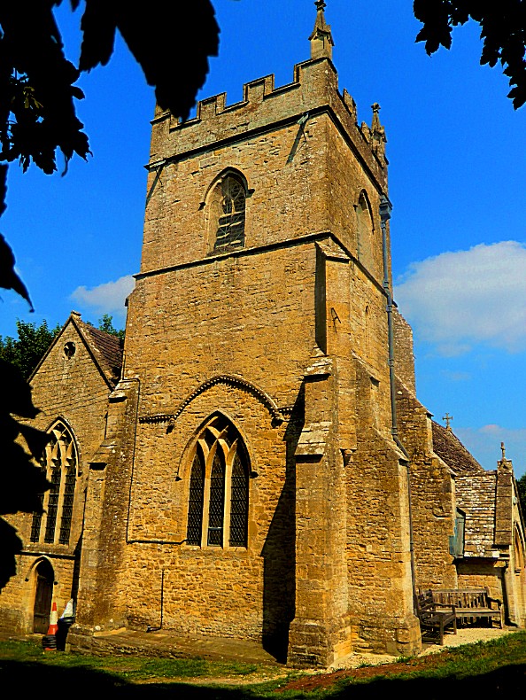
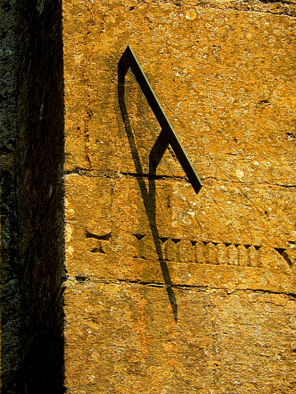
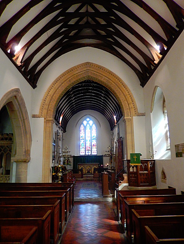
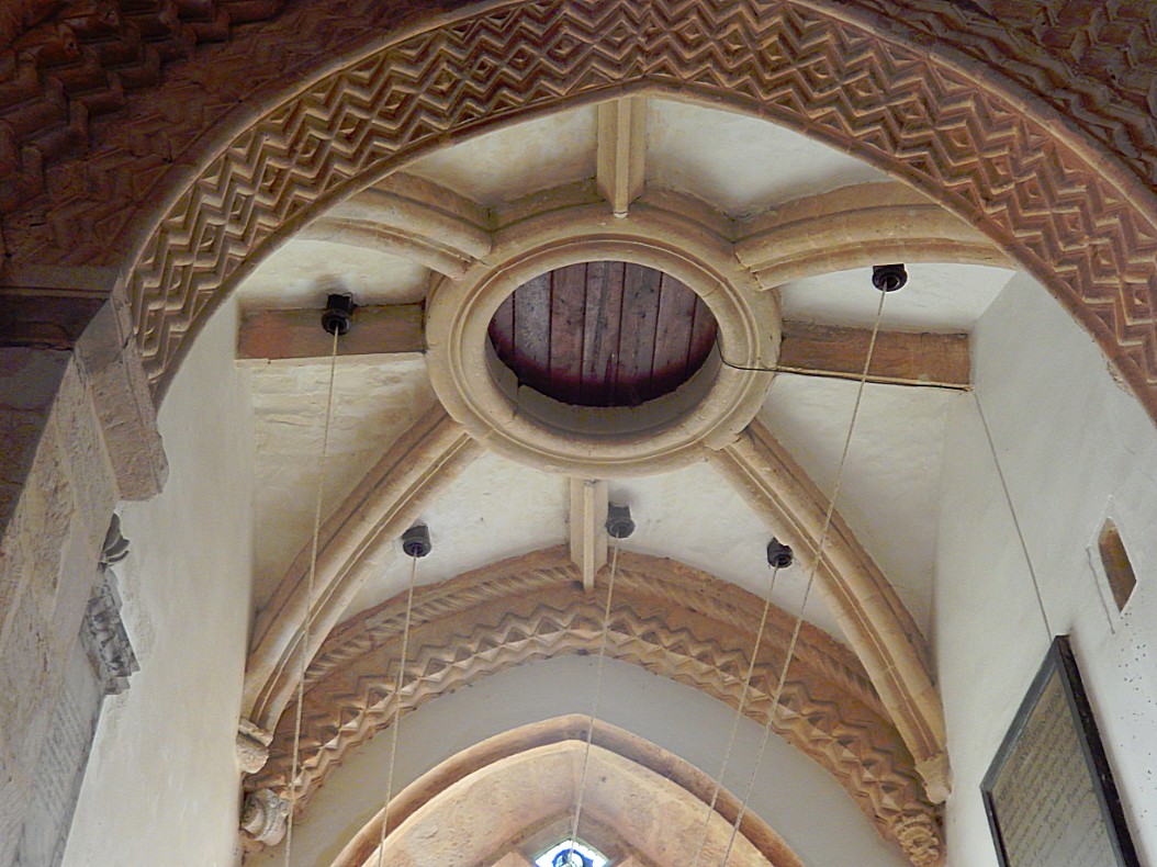
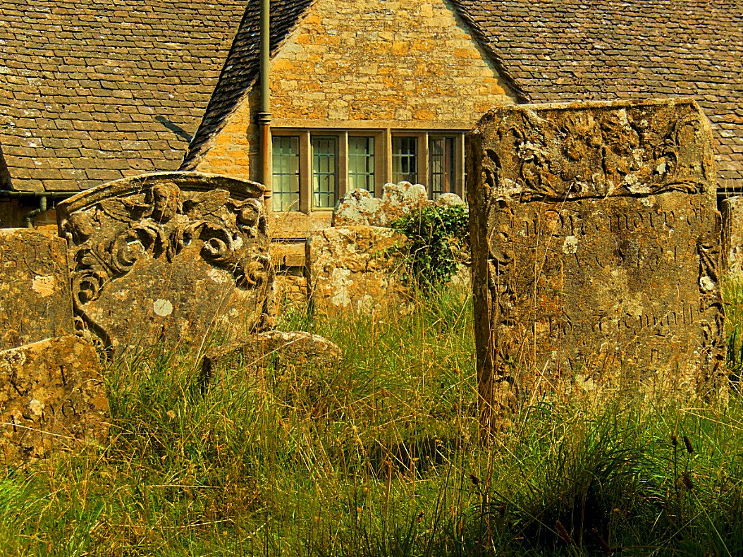
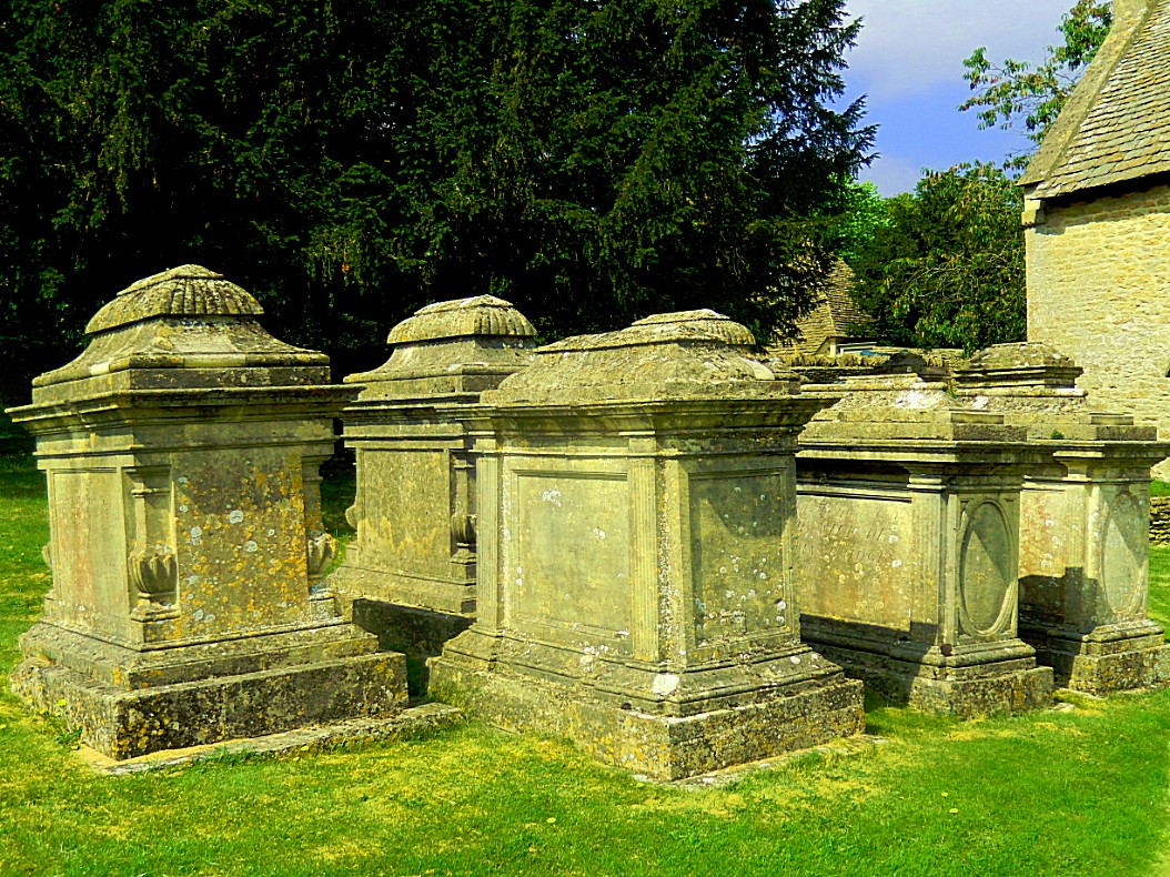
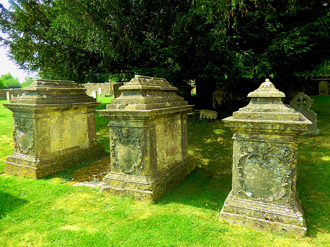
The Church of England parish church of St Mary is very late Saxon with later additions and listed in the top of the three heritage/architecture categories, Grade I. Its main material is random (cobblestone) and coursed rubble limestone with a slate roof. It is formed of a nave with north and south aisles, south porch, north west tower and chancel, tower, arched doorways. The churchyard has been described as being “of special interest because of the remarkable survival of so many excellently carved table tombs with bale tops, and headstones with cherubs and symbolic figures of the seventeenth and eighteenth centuries”. There is an early canonical sundial on the south wall. From AD 1130 until the English Reformation during the sixteenth century, the church was a peculier of Osney Abbey in Oxford.
Adjacent to the church is the village primary school that was built in the 1850s. In 2015 the school had 43 pupils on its roll in two classes. On the Arlington (west) side of the village is Arlington Baptist Church, where a congregation has been meeting since the 1740s.
Late in the nineteenth century George Witts recounted the discovery of the Bibury Roman villa: “In the year 1880 a Roman villa was accidentally discovered in the parish of Bibury, about six miles northeast of Cirencester. Some Roman pottery, coins, remnants of tesselated pavements, &c., were found, but as no examination has yet taken place, no description of the building can be given.“—George Witts, 1883. The site fills a small low meander downstream of the bridge on the Arlington, Bibury side. Bibury village proper, on the east bank, consists of approximately 40 homes and businesses, of which two are prominent hotels.
The Coln, a tributary of the Thames, flows in a very steep valley (in Thames Basin terms) southeastwards. It flows alongside the midsection of Bibury with Arlington’s main street which doglegs to achieve this. Each side has a similar concentration and scale of development; each bank’s development falls mainly in the Bibury conservation area which has an insightful district surveyor’s statement for building owners and visitors.
Arlington Row
The nineteenth-century artist and craftsman William Morris called Bibury “the most beautiful village in England” when he visited it.
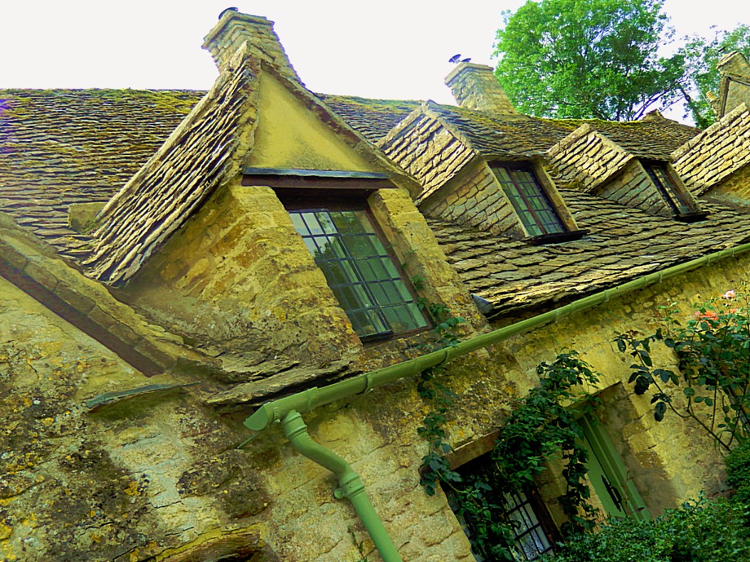
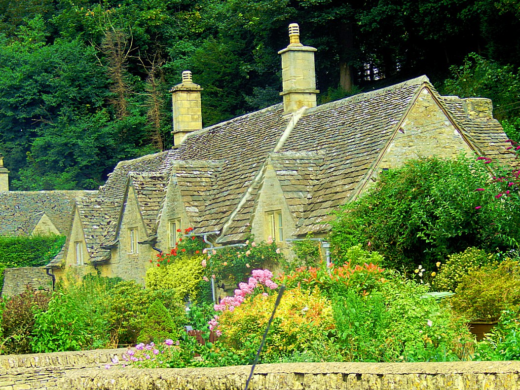
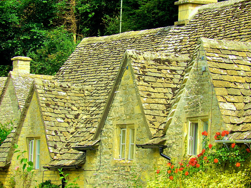
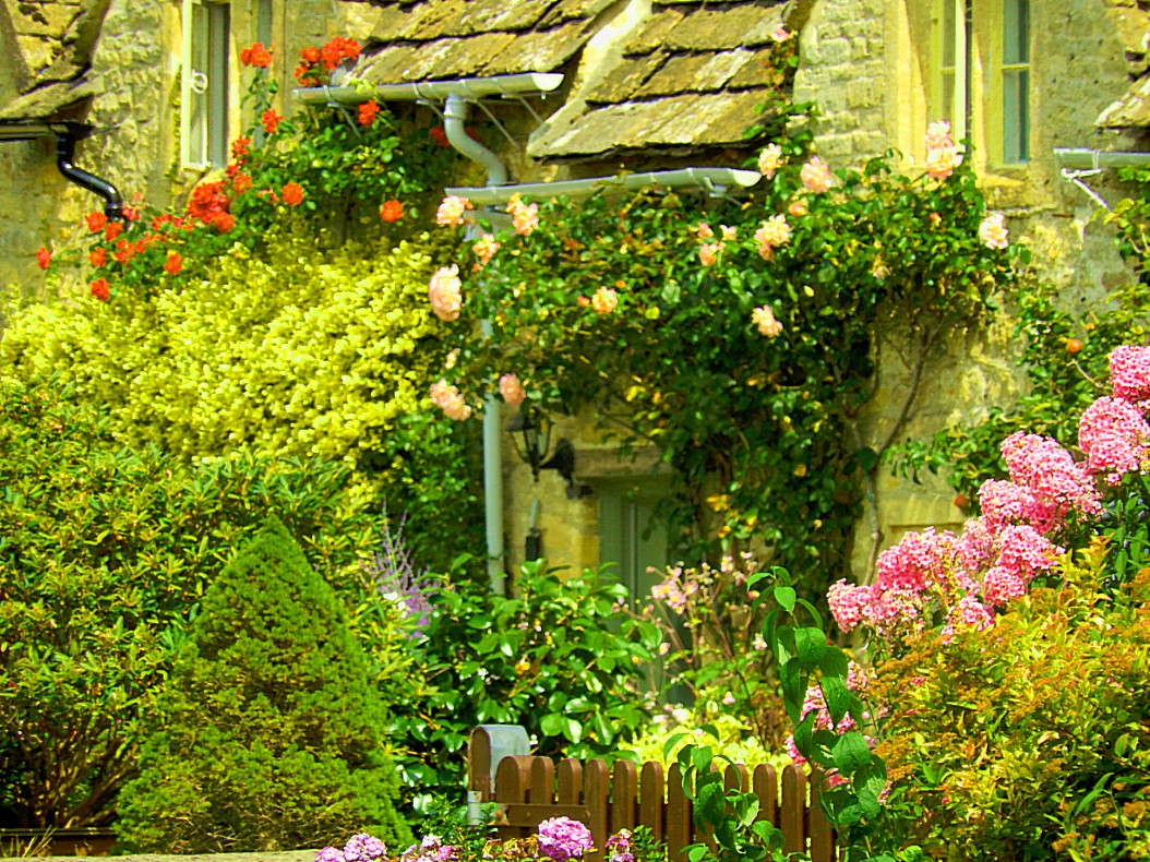
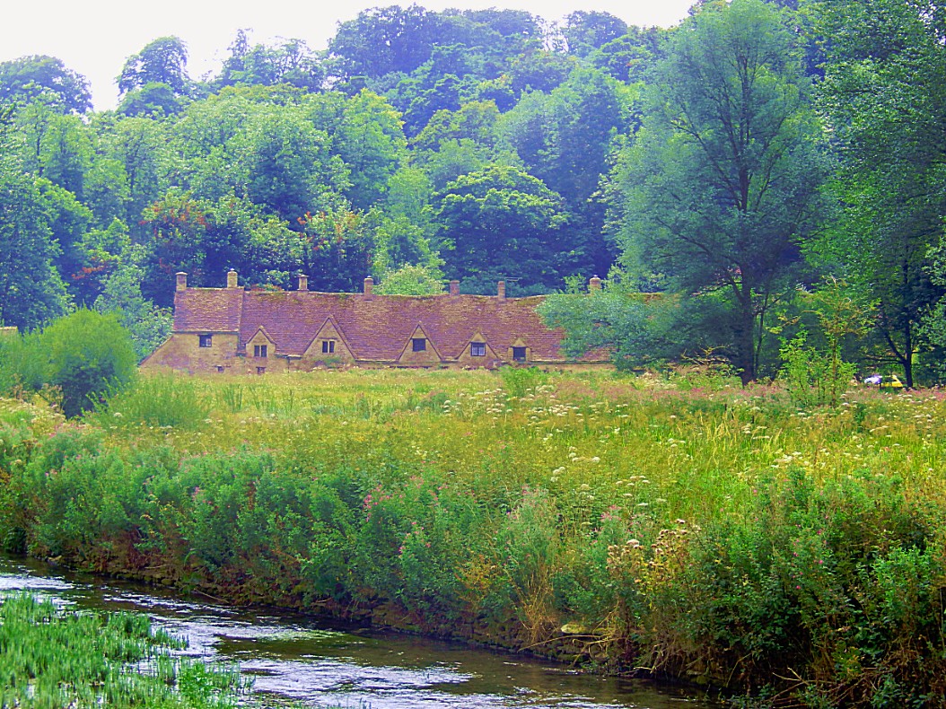
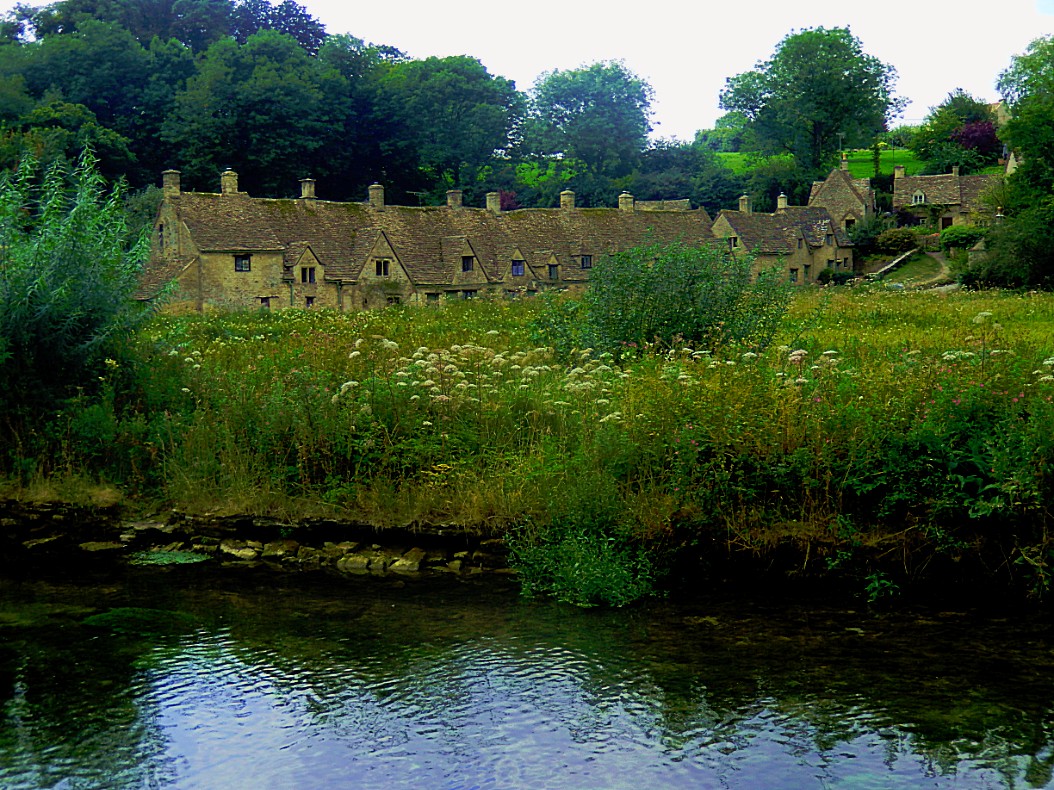
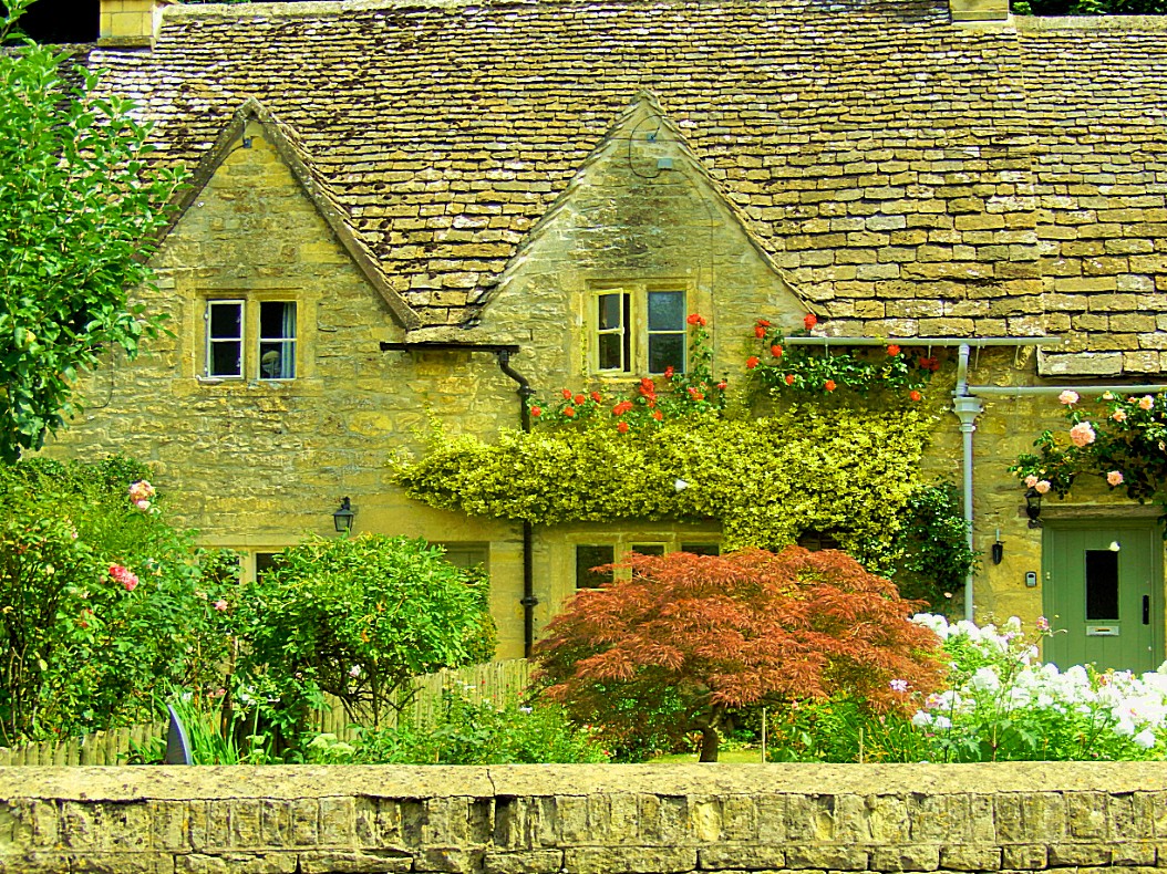
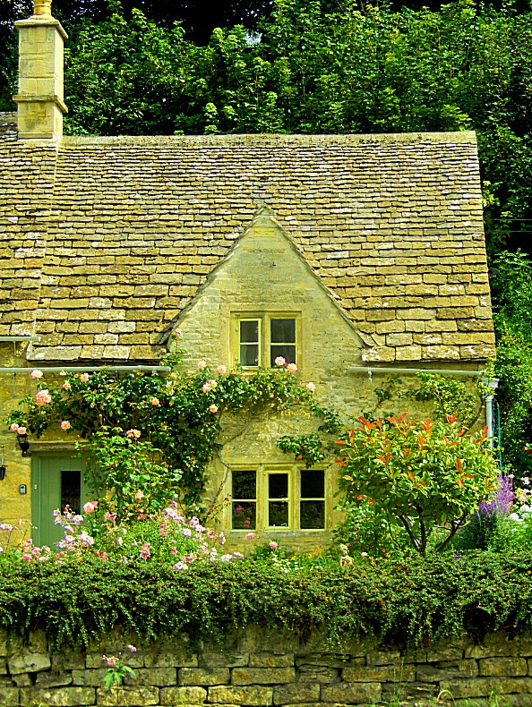
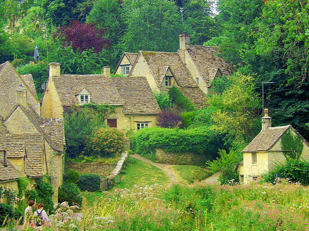
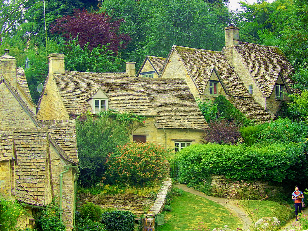
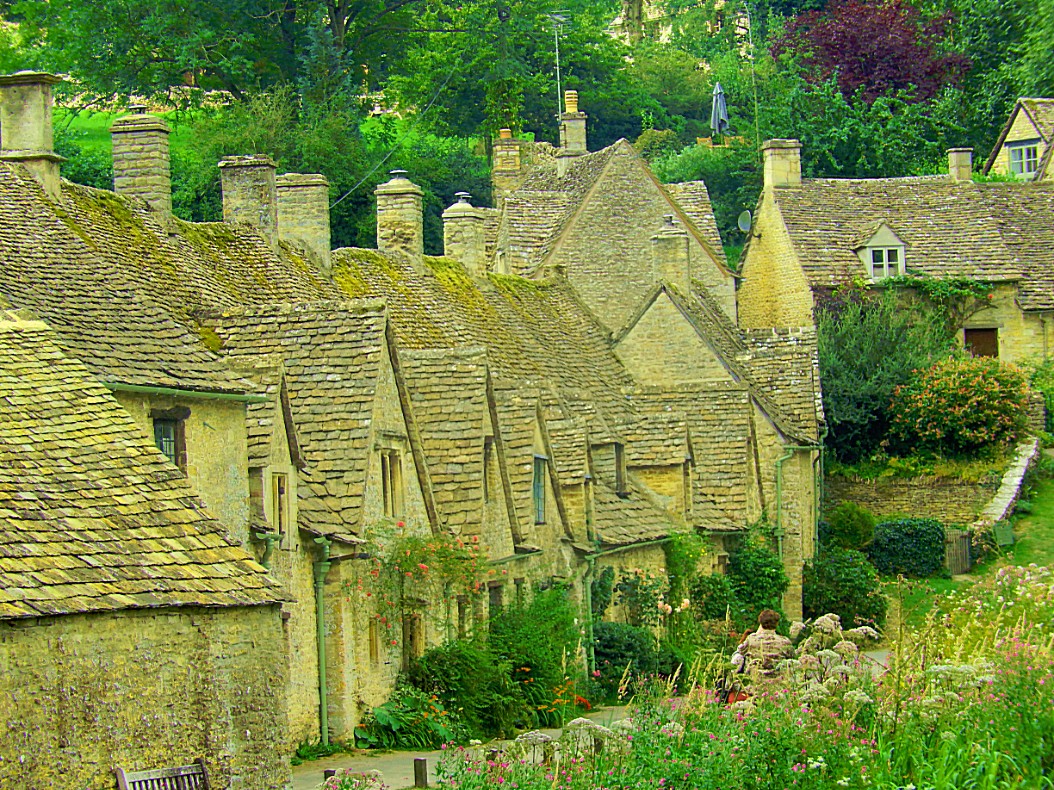
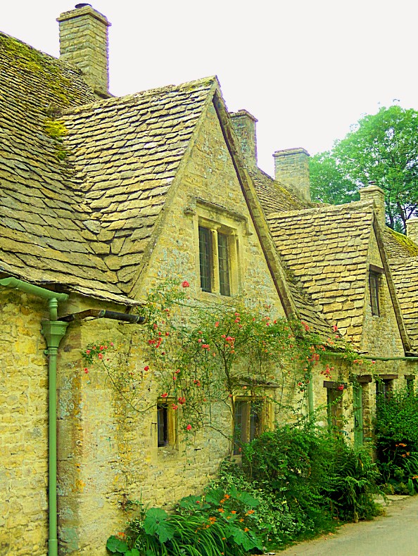
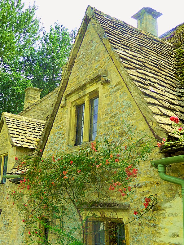
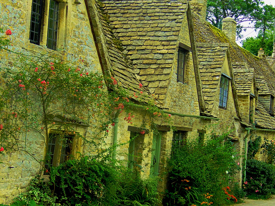
The village is known for its honey-coloured seventeenth century stone cottages with steeply pitched roofs, which once housed weavers who supplied cloth for fulling at nearby Arlington Mill. Until the 1980s, that building also housed the museum of Arlington Mill with a collection of period clothing, before it was shifted to Barnsley House. The Mill is now a private residence.
The place where the wool was hung to dry after being washed in Arlington Row, was known as “Rack Isle”. Today, this water meadow and marshy area, which is seasonally flooded and surrounded by water from three sides, is an important habitat for water-loving plants and birds including Mallards, Coots, and Moorhens; it is also a National Trust Wildfowl Reserve.
Bibury is particularly frequented by Japanese tourists. This is largely attributed to Emperor Hirohito having stayed in the village on his European tour.
The largest building in Bibury is Bibury Court, built in 1633 in the style of Jacobean architecture. It is a Grade I listed building, and was recently a hotel. The hotel has now closed permanently with its future unknown. Previously it was inhabited by Lord Sherborne when in 2008 it was bought by John Lister, of Shipton Mill organic flour. The village has a tennis court downstream of where the main road turns away to the north-west, close to the church and Bibury Court. Ablington Manor, on Potlicker’s Lane, was built in 1590, and is also a Grade I listed building.
Arlington Row
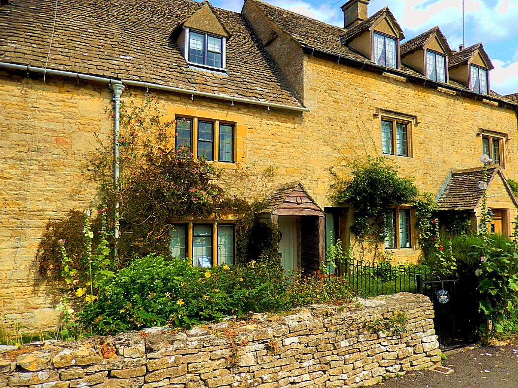
The picturesque Arlington Row cottages were built in 1380 as a monastic wool store. This was converted into a row of cottages for weavers in the seventeenth century. The cloth produced there was sent to Arlington Mill. Arlington Row is a popular visitor attraction, probably one of the most photographed Cotswold scenes, and was preserved by the Royal College of Arts. It has been used as a film and television location, most notably for the films Stardust and Bridget Jones’s Diary. ]However in 2017 the BBC reported that an “ugly” car parked by an elderly motorist had been vandalised, possibly by visitors who had repeatedly claimed complained that it spoilt photographs.
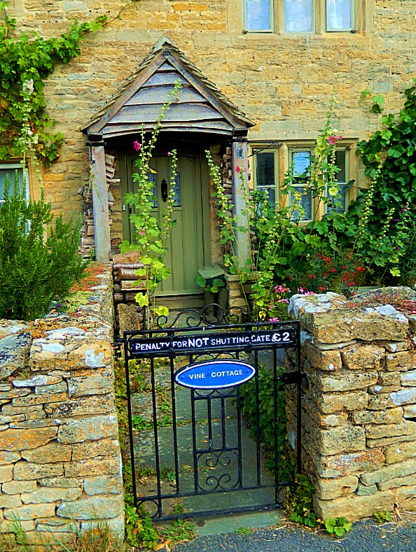
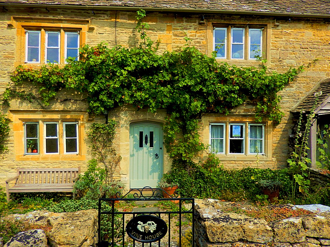
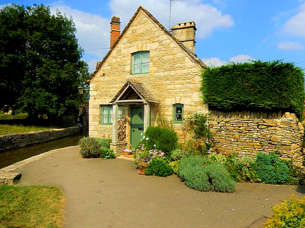
Another name similarity with Lord of the Rings pops into mind while walking on this very Hobbitish Arlington row. I’m thinking of Bagshot row, near Bag end in Hobbiton. Bagshot Row branches of from the main road coming from the bridge over The Water, running towards Bag End. A few Hobbit holes have their entrances on Bagshot Row. It might be just a similarity in names, but the feelling in my gut tells me differently. Not a strong case though 😉
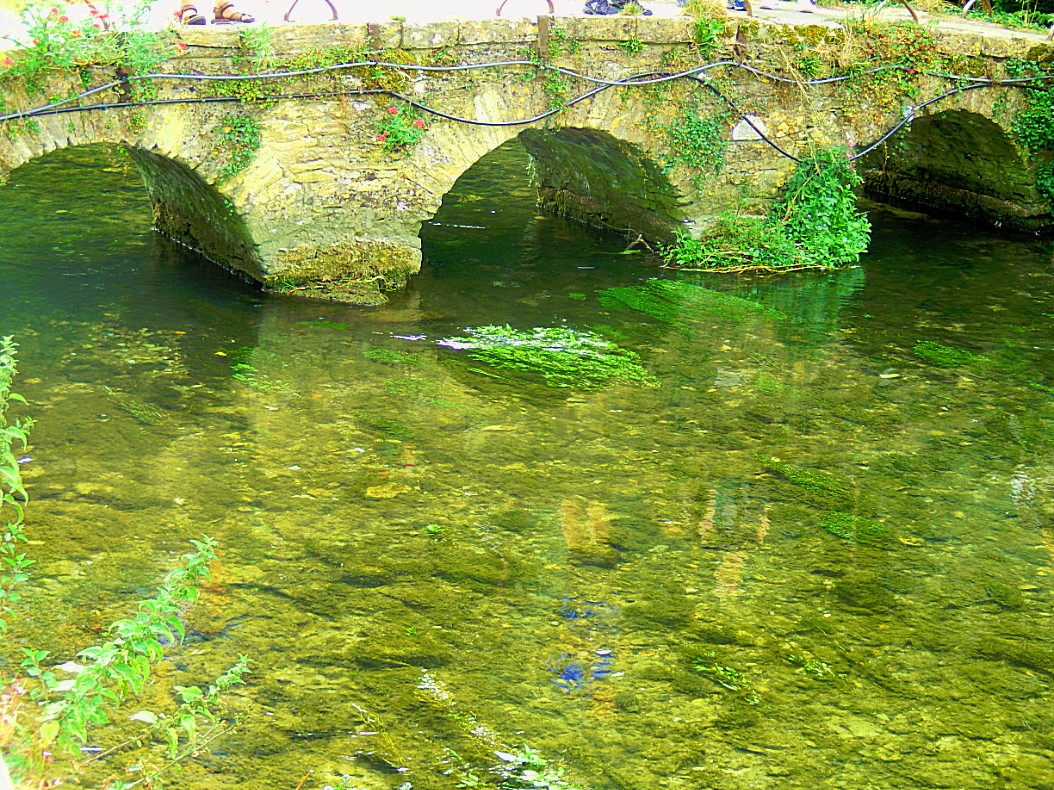 Burford
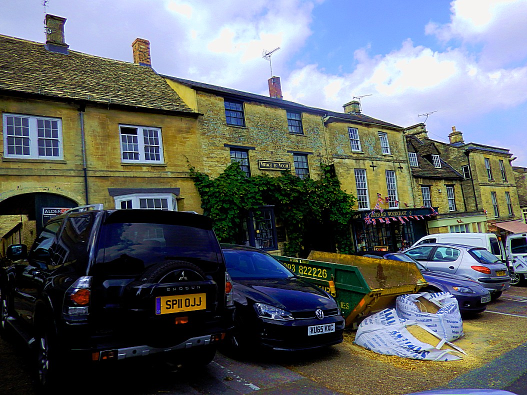
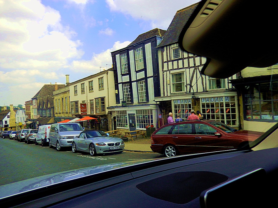
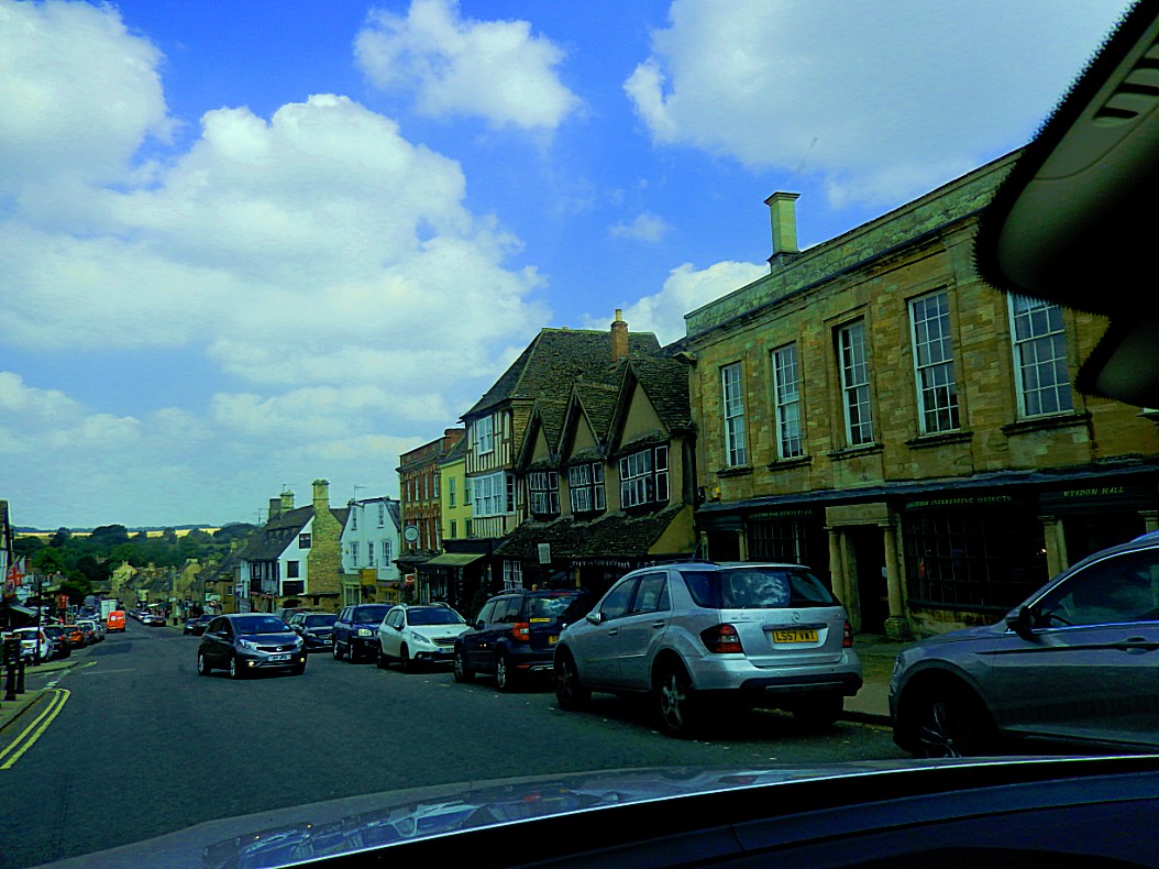
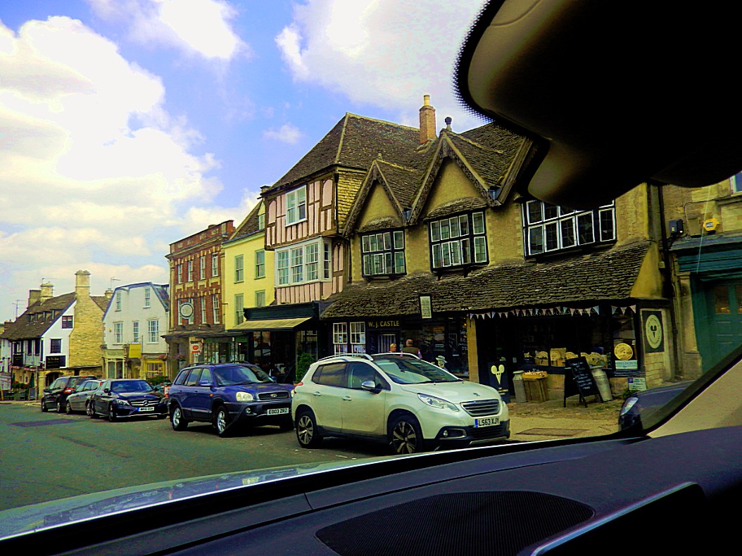
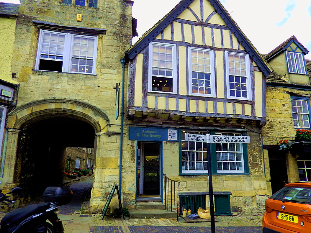
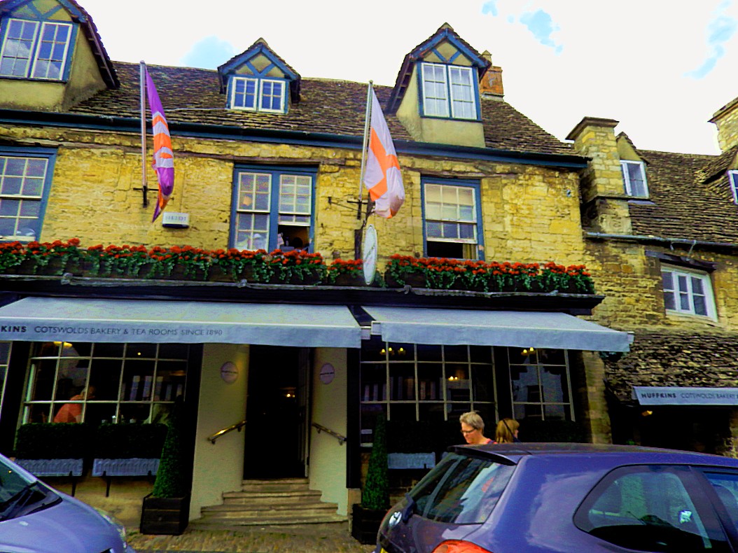
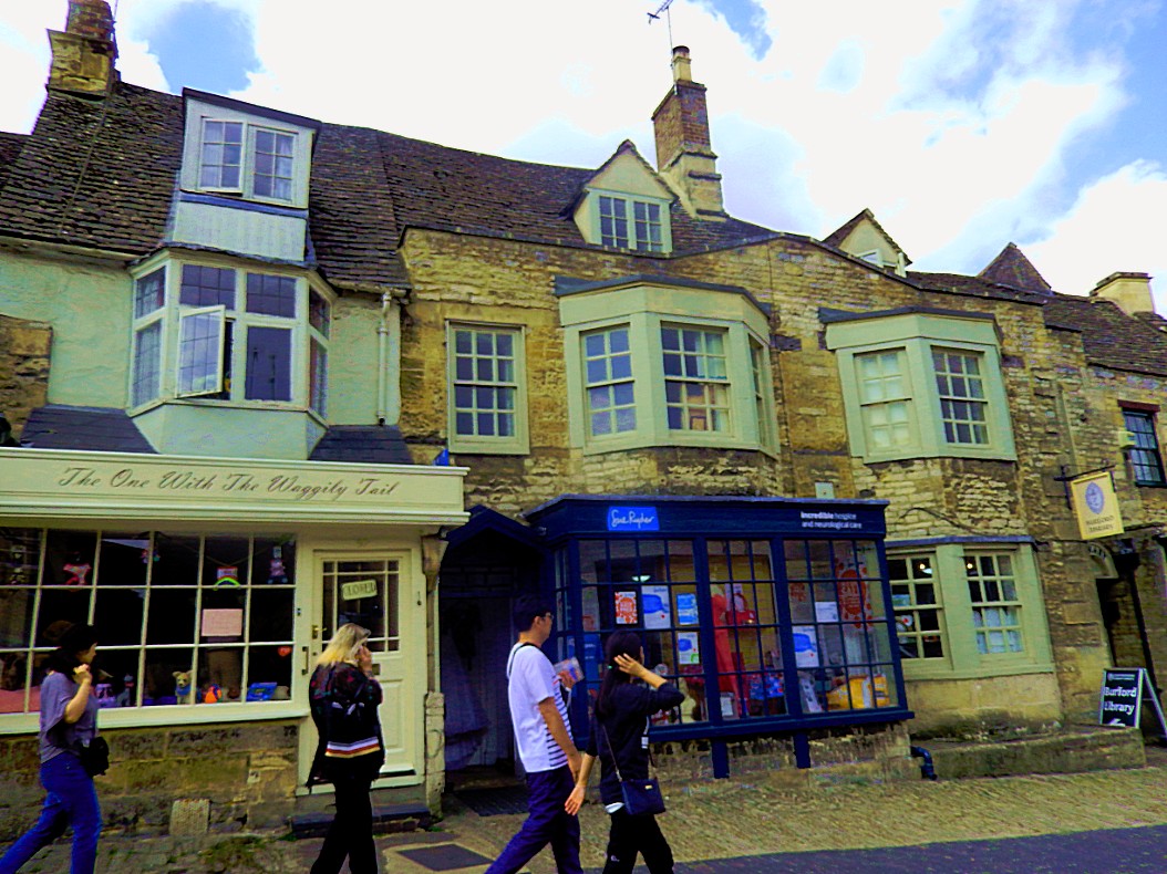
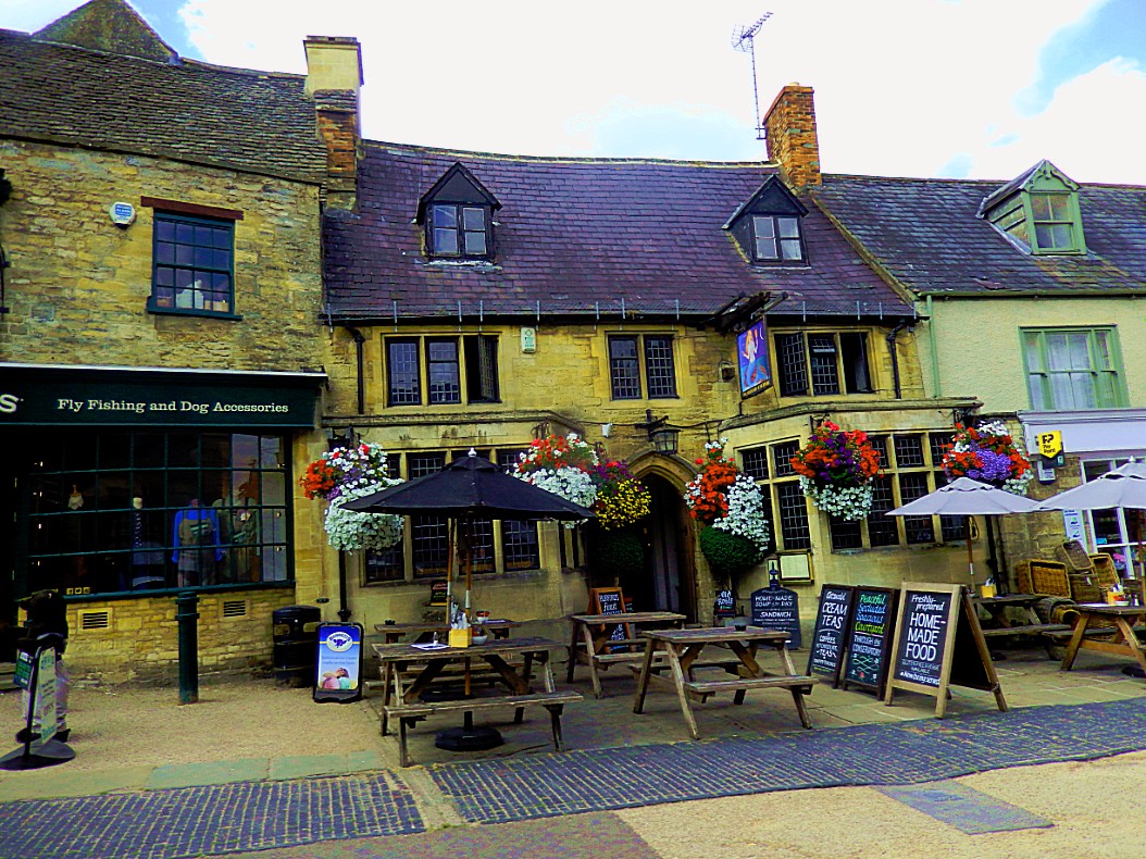
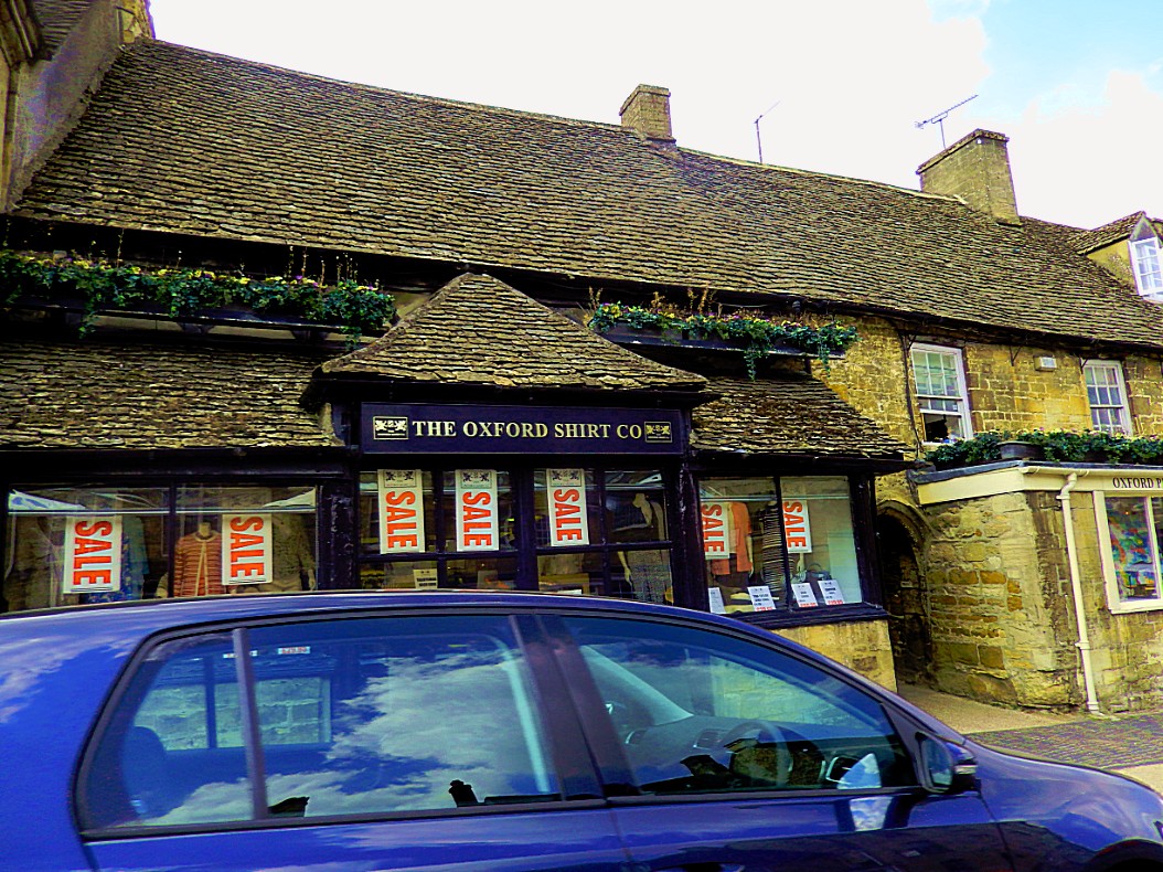
When we drove into Burford, which is a somewhat larger Cotswolds Town, I 1st thought it a tranquil village, but the more we got to the center, the more crowded it got…
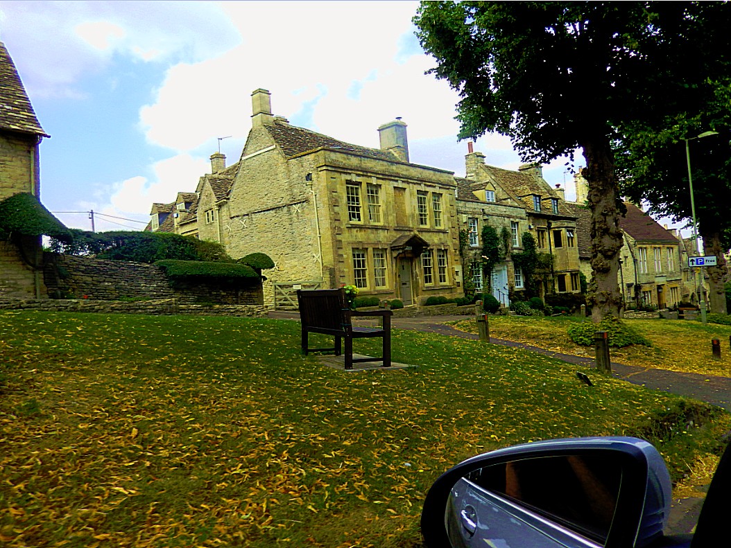
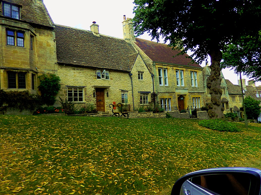
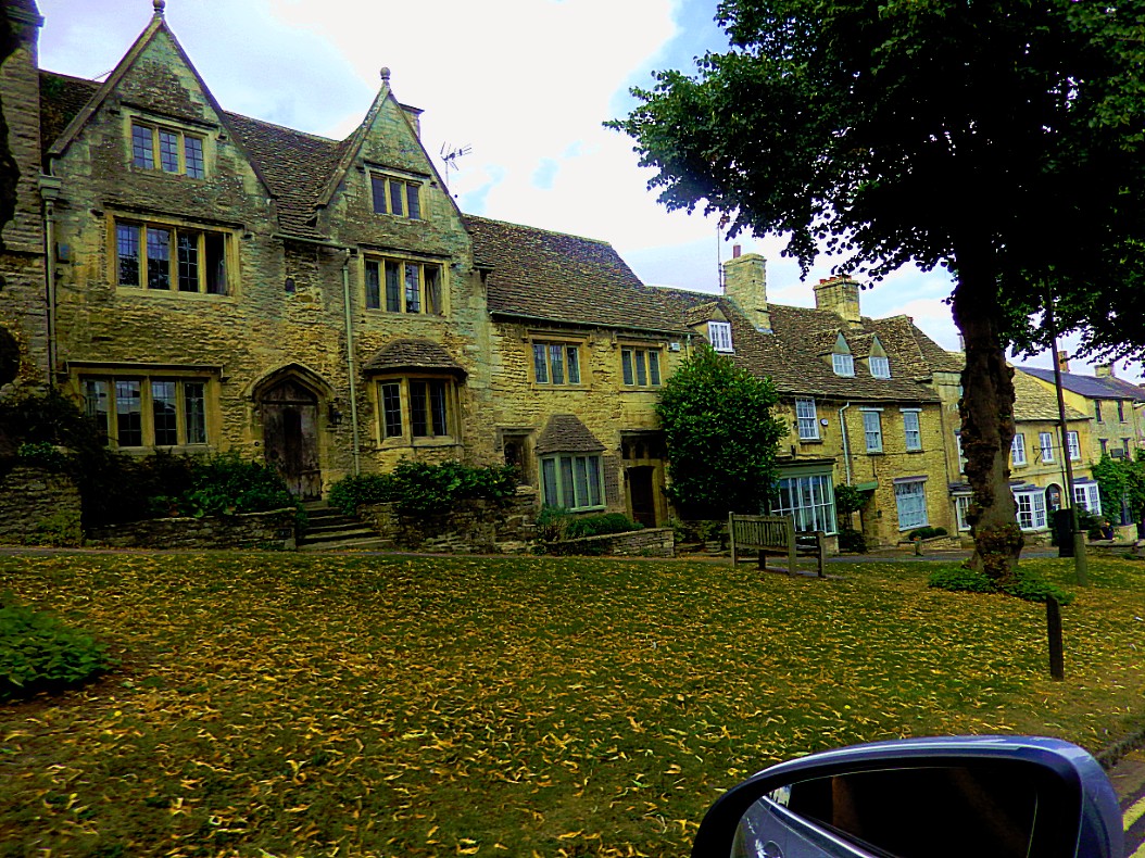 But the more I got into the Town Center, the crowdier it got
Beautiful buildings, but why all these cars?
Burford is a medieval town on the River Windrush in the Cotswold hills in West Oxfordshire, England. It is often referred to as the ‘gateway’ to the Cotswolds. Burford is located 18 miles (29 km) west of Oxford and 22 miles (35 km) southeast of Cheltenham, about 2 miles (3 km) from the Gloucestershire boundary. The toponym derives from the Old English words burh meaning fortified town or hilltown and ford, the crossing of a river. The 2011 Census recorded the population of Burford parish as 1,410 and Burford Ward as 1,847.
Burford Priory is a country house that stands on the site of a 13th-century Augustinian priory hospital. In the 1580s an Elizabethan house was built incorporating remnants of the building. It was remodelled in Jacobean style, probably after 1637, by which time the estate had been bought by William Lenthall, Speaker of the House of Commons in the Long Parliament. After 1912 the house and later the chapel were restored for the philanthropist Emslie John Horniman, MP, by the architect Walter Godfrey.
From 1949 Burford Priory housed the Society of the Salutation of Our Lady, a community of Church of England nuns. In the 1980s, its numbers dwindled, so in 1987 it became a mixed community including Church of England Benedictinemonks. In 2008 the community sold the property and it is now a private dwelling.
After leaving the central area, Burford got more quiet again. Much more the way I prefer.
We drove on towards Taynton.
Taynton
Taynton is a village and civil parish about 1 1⁄2 miles (2.4 km) northwest of Burford in West Oxfordshire. The village is on Coombe Brook, a tributary of the River Windrush. The parish is bounded in the south by the River Windrush, in the north partly by Coombe Brook and its tributary Hazelden Brook, in the west by the county boundary with Gloucestershire and in the east by field boundaries. The 2001 Census recorded the parish’s population as 108.
It seems a bit far fetched but the River Windrush might have been an inspiration for Tolkiens little Shire Rivers. There is this a bit strange sentence in The Hobbit which might refer to that:
“Wind got up, and willows along its sides bent and sighed. Fortunately the road went over an ancient stone bridge, for the river, swollen with the rains, came rushing down from the hills and mountains in the north.”
From: The Hobbit, Chapter II: Roast mutton, by J.R.R. Tolkien.
Although wind is a quite common word, rushing isn’t if used in combination with a flowing river. But is middle England the Anglo Saxon word Rush is quite common on maps and in the names assosiated with those maps. Tolkien thought about every word and word part he used very carefully so why use rushing for this river, unless it was inspired by the Windrush? Far fetched, but hey, all the same thought I’d mention this strain of thought.
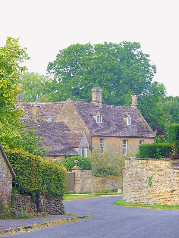
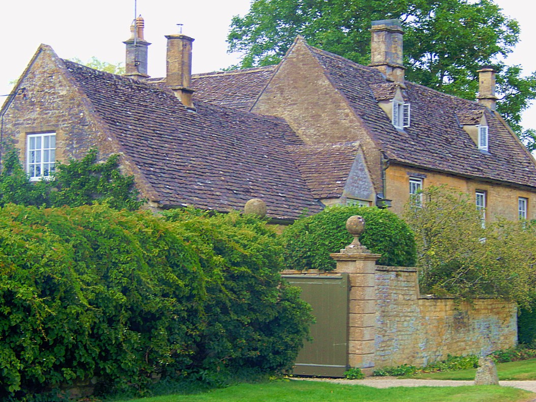
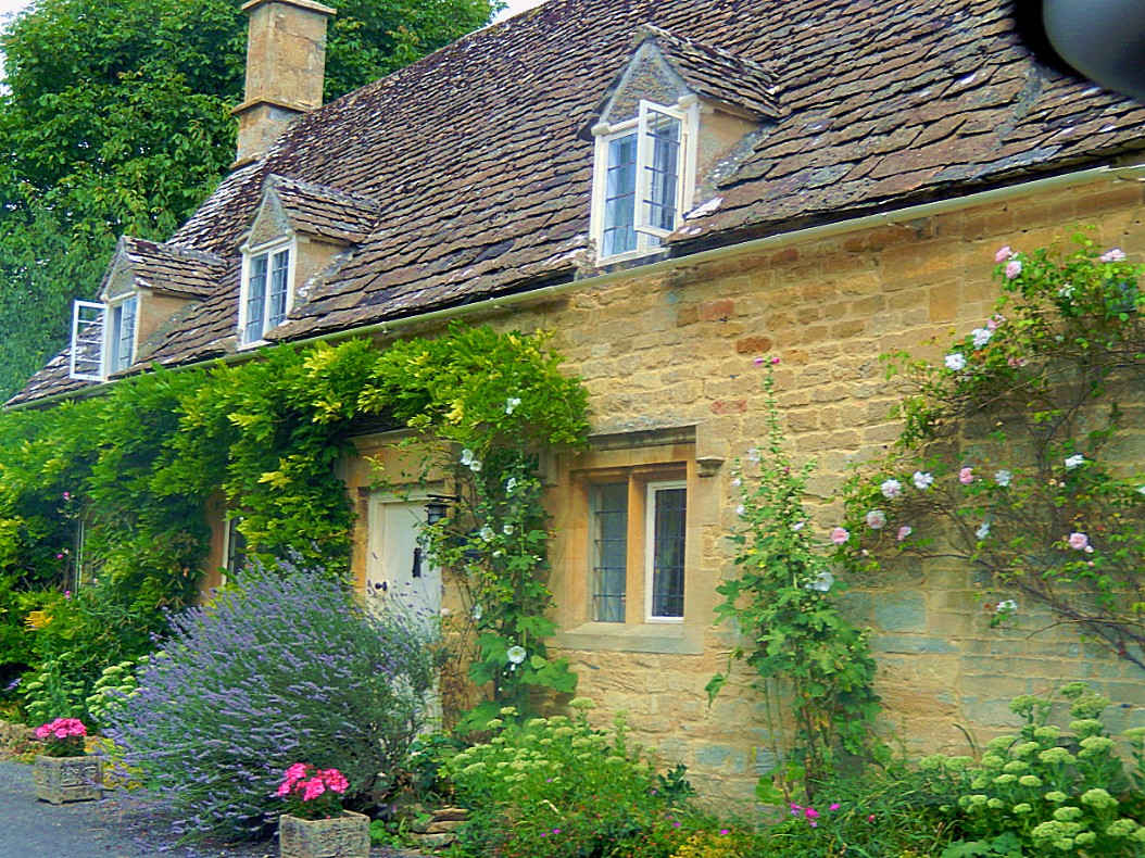
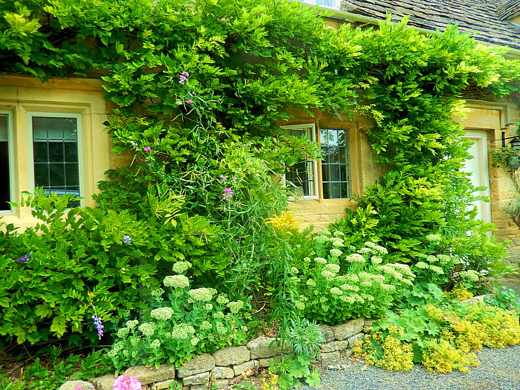
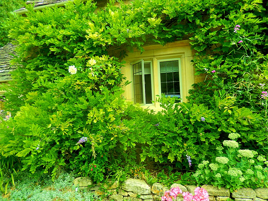
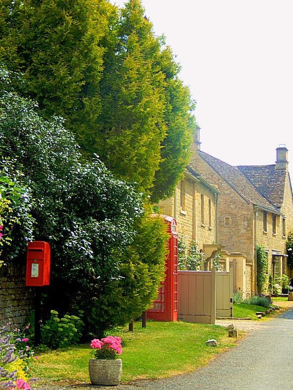 From Taynton we drove through Great Barrington and past Barrington Park…
Barrington Park
Barrington is a civil parish in the Cotswold district of Gloucestershire, England. According to the 2001 and 2011 censuses it had a population of 209.
The parish includes the villages of Great Barrington and Little Barrington, on either side of the River Windrush. To the east the parish borders Oxfordshire.
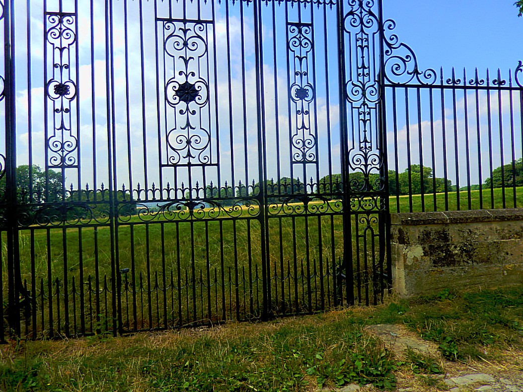
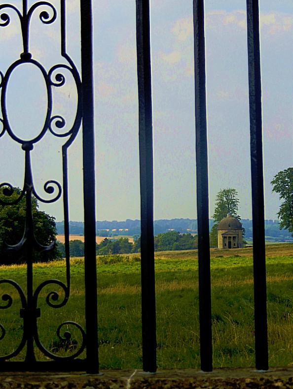
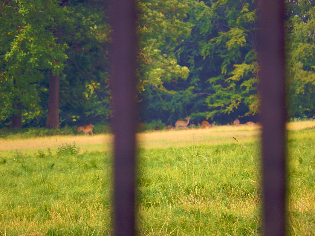
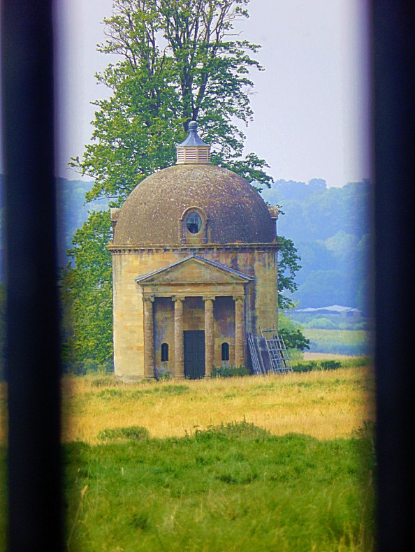 We followed the road past Upper Risington and the went left down into the vale towards Wyck Rissington.
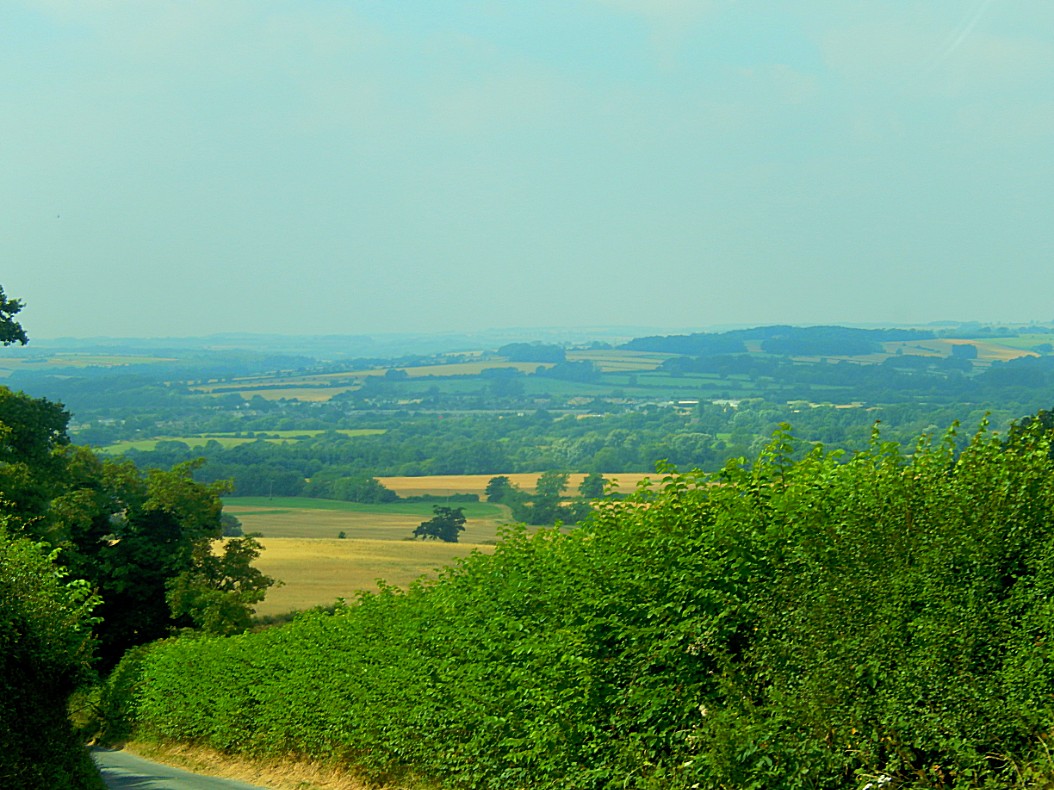
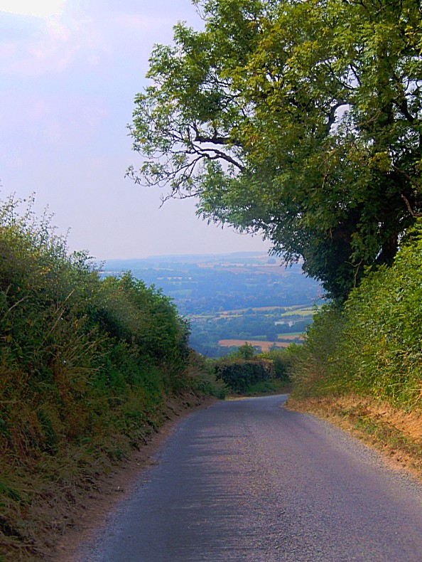
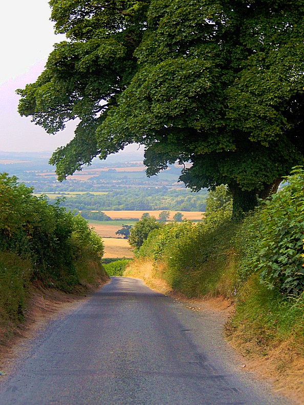
If you’ve somehow forgotten that the Cotswolds are basically a country of rolling hillas, than the next three pics will remember you of that again 😉
I simply love this, whether to walk, to bike or to drive…
 Wyck Rissington
Wyck (Wick) Rissington is a village and parish in the picturesque Cotswold hills of Gloucestershire, England. The village is located 1.5 miles north-east of Bourton-on-the-Water. The name ‘Wyck Rissington’ translates from the Saxon as “A building of special significance on a hill covered with brushwood”.
Wyck is one of four Rissington villages along with Great, Little and Upper Rissington.
Local features and characteristics
The village is spread out along a long central village green of about half a mile from end to end. It is regarded as being an unspoilt Cotswold village with a number of attractive traditional-style Cotswold stone dwellings. Other features of note include a duck pond and Victorian drinking fountain, both situated on the village green.
Stone House Garden is a notable local garden which is open to the public by appointment.
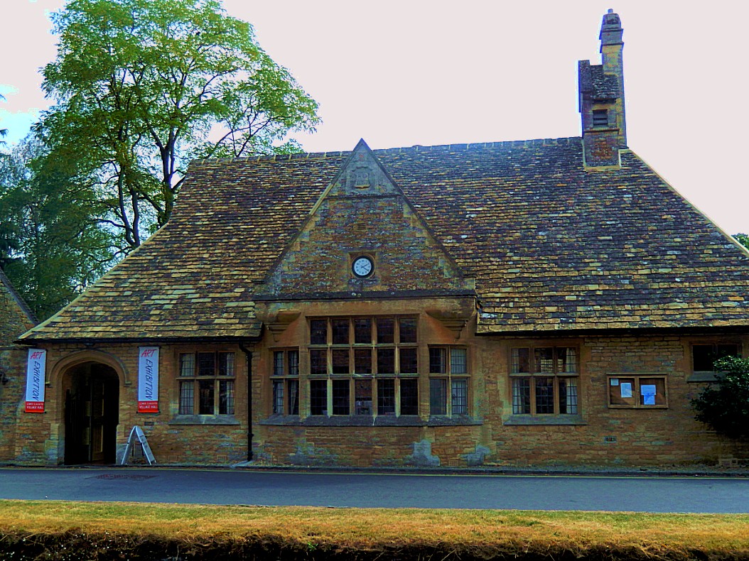
There is a village hall, which was built recently of traditional Cotswold stone and hosts a range of community events.
The long-distance Oxfordshire Way footpath runs through part of the village.
Church and rectory
In the early 1890s composer Gustav Holst, at the age of 17, was the resident organist for the church.[3] The organ that Holst played is still in use.
Until 1984, a liturgical maze existed in the garden of the Rectory. This was built by Canon Harry Cheales, rector of the parish from 1947-1980. Once a year on St Lawrence’s Day, 10 August, Canon Cheales would lead the congregation round the maze. Different points of the maze represented different Pilgrim Stations. At each station was a wood carving, twelve of which now decorate the chancel of the church. The design of the maze was such that each point could be visited without turning back. A mosaic plan of the maze is embedded in the wall of the church. The maze was dismantled when the rectory was sold on Canon Cheales’ death.
There is currently an appeal to raise £120,000 for urgent repairs to the church which includes replacing part of its roofing and making the bells safe.
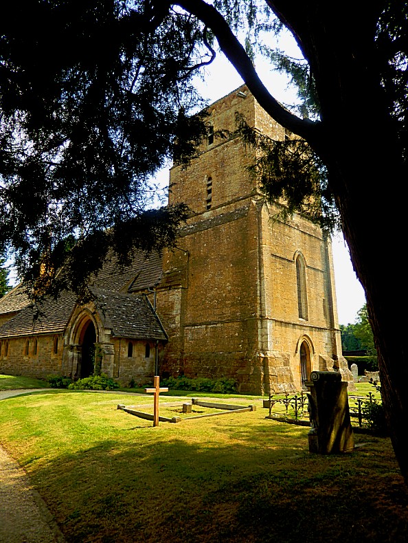 After visiting the church grounds, we drove on towards Lower Slaughter…
Lower Slaughter
Lower Slaughter is a village in the English county of Gloucestershire, located in the Cotswold district, 4 miles (6.4 km) south west of the town of Stow-on-the-Wold.
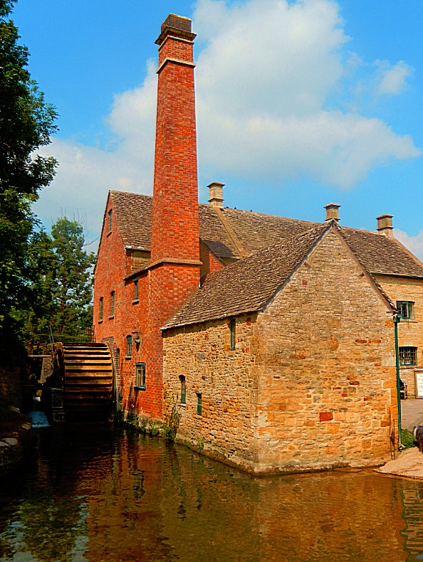
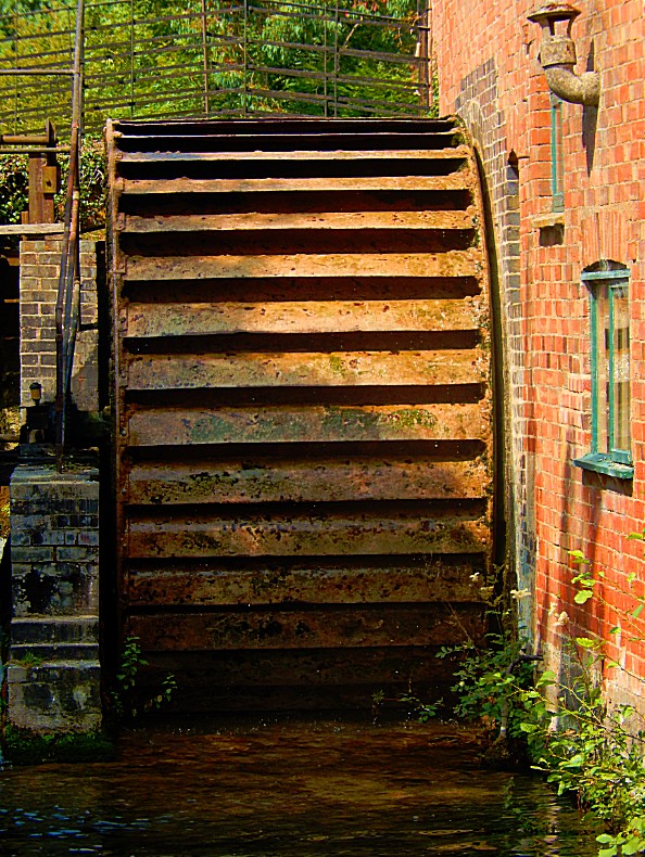
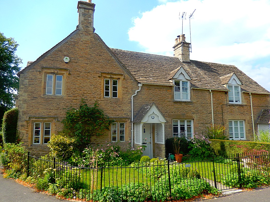
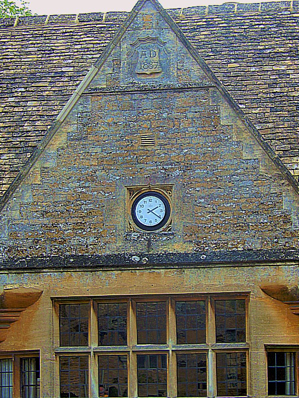
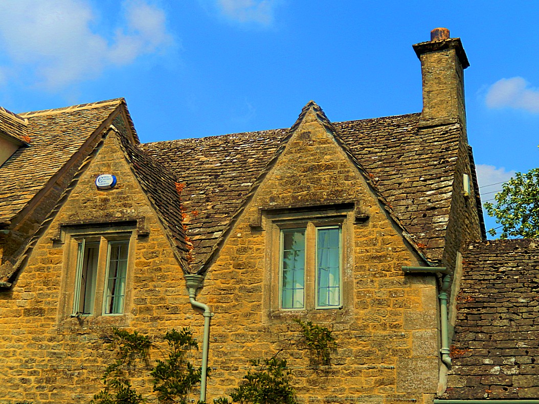
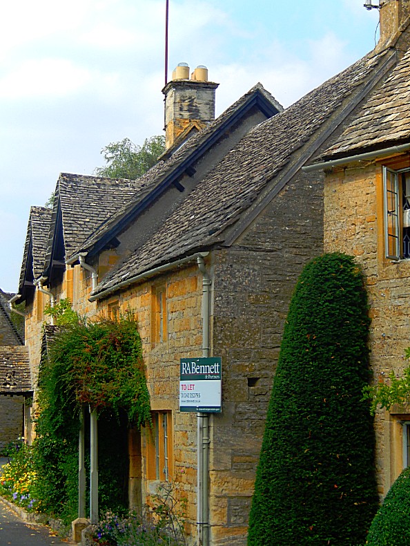
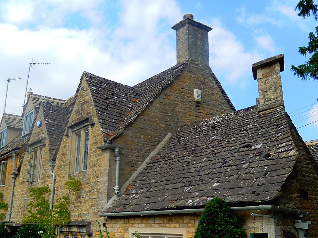
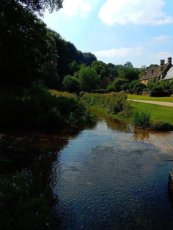
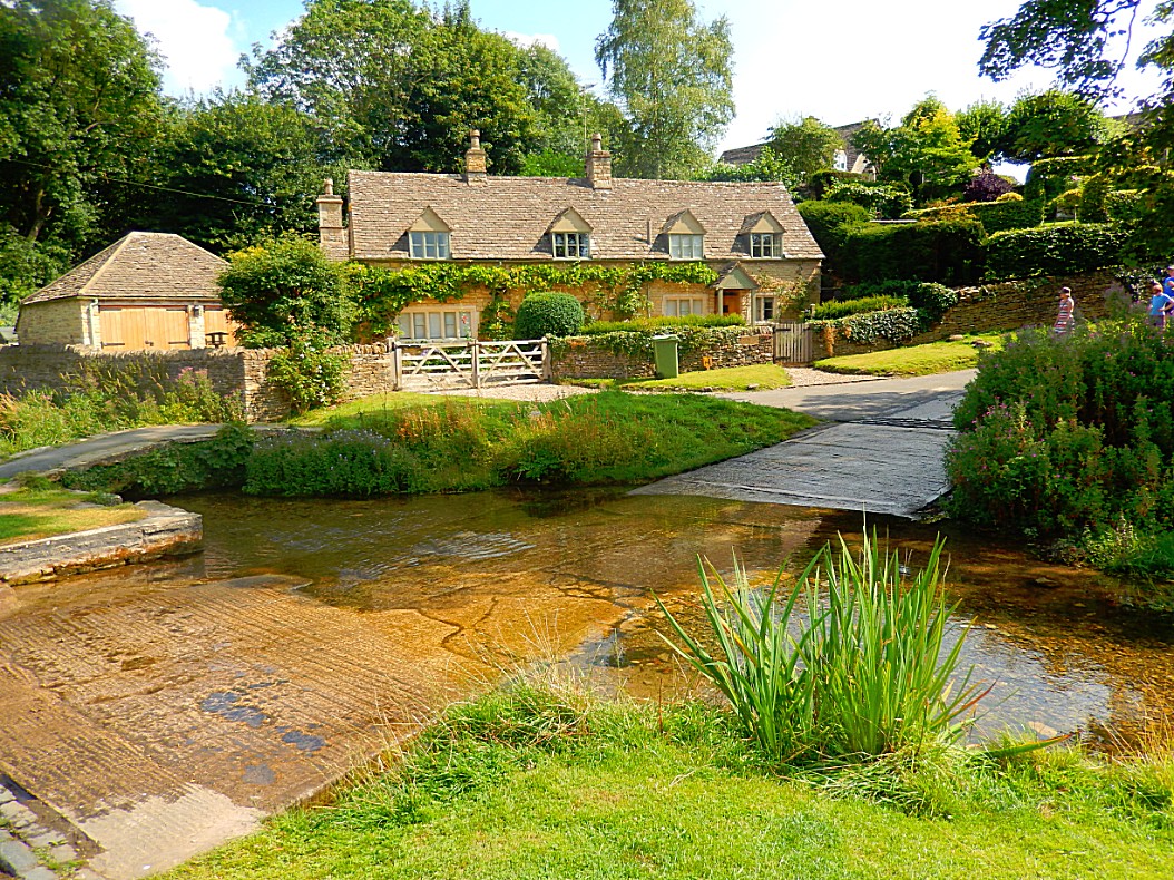
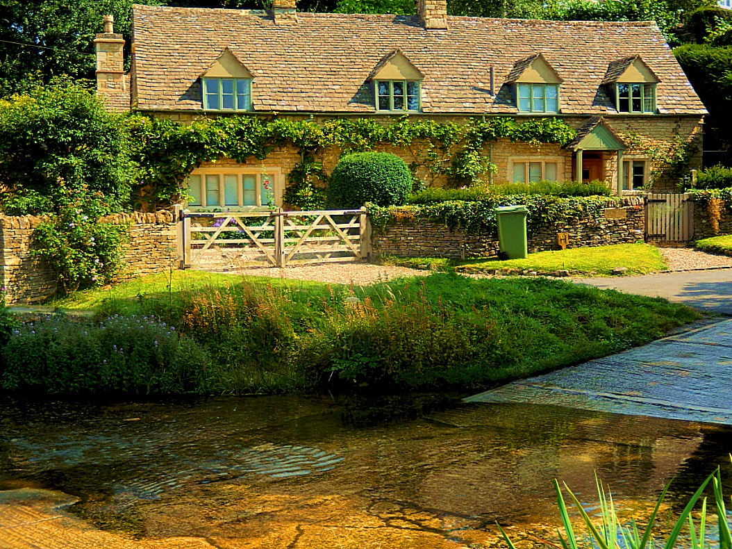
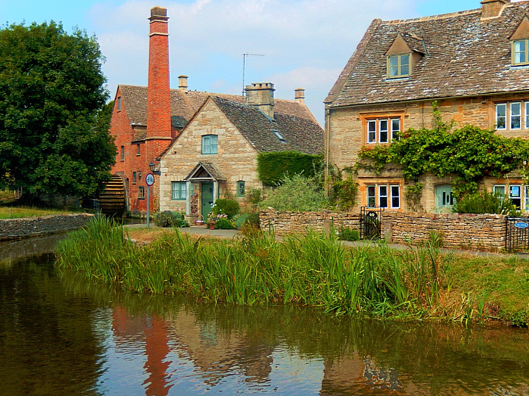
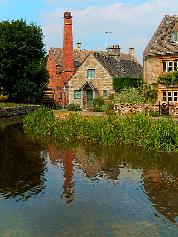
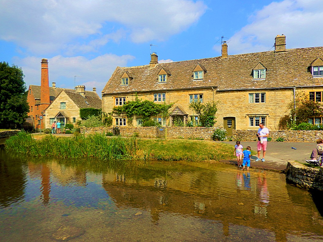
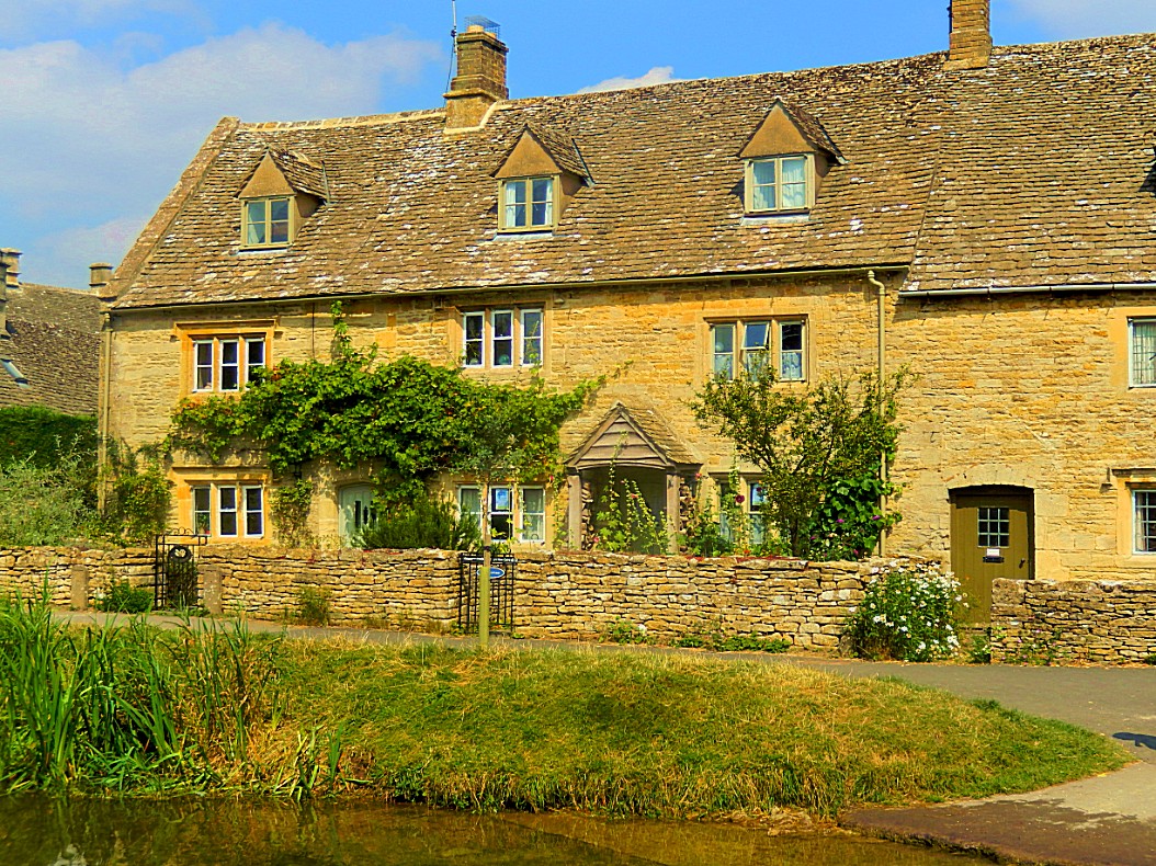
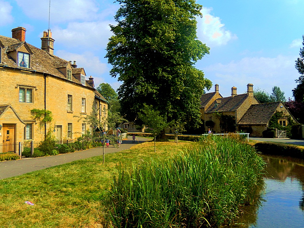
The village is built on both banks of the River Eye, which also flows through Upper Slaughter. At the west end of the village there is a 19th-century water mill with an undershot waterwheel and a chimney for additional steam power. There is a ford where the river widens in the village and several small stone footbridges join the two sides of the community. While the mill is built of red brick most of the 16th and 17th century homes in the village use Cotswold sandstone and are adorned with mullioned windows and often with other embellishments such as projecting gables.
Records exist showing that Lower Slaughter has been inhabited for over 1000 years. The Domesday Book entry has the village name as “Sclostre”. It further notes that in 1066 and 1086 that the manor was in the sheriff’s hands.[
Lower Slaughter Manor, a Grade-II listed 17th-century house, was granted to Sir George Whitmore in 1611 and remained in his family until 1964.
The 13th century Anglican parish church is dedicated to St. Mary the Virgin. Much of the current structure was built in 1866; however, the spire and peal of six bells was recently restored.
In May 2013 it was reported in the national news that the Parish Council were fiercely opposed to the presence of an icebox tricycle selling ice creams for seven days a week, six months of the year, citing that the trading times were excessive, increased footfall would prevent the grass from growing and children could climb on the trike and fall into the nearby river.
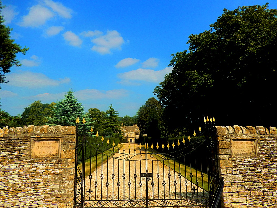
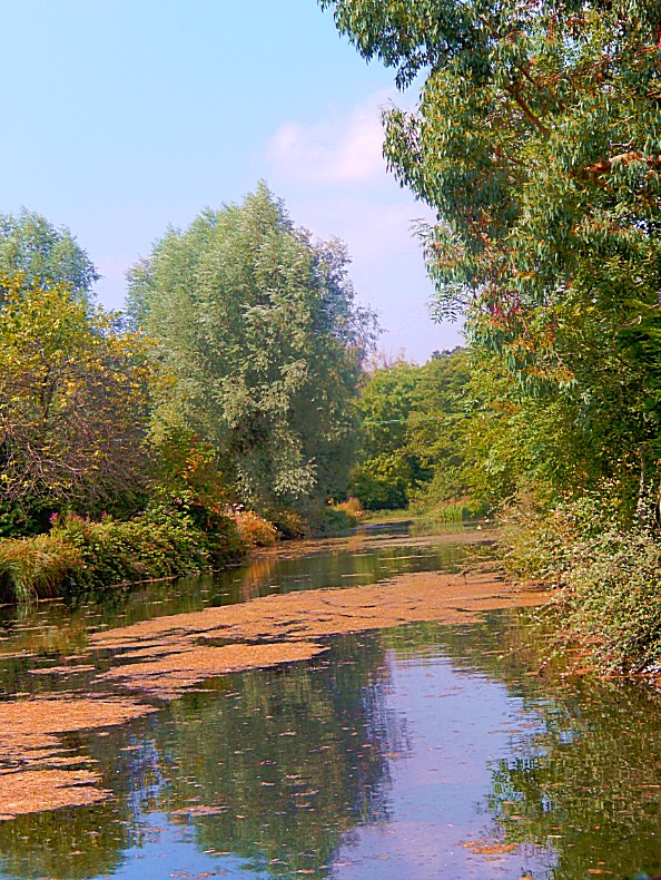
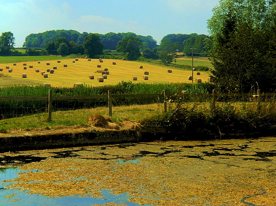
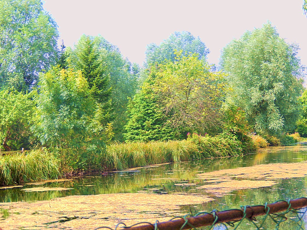
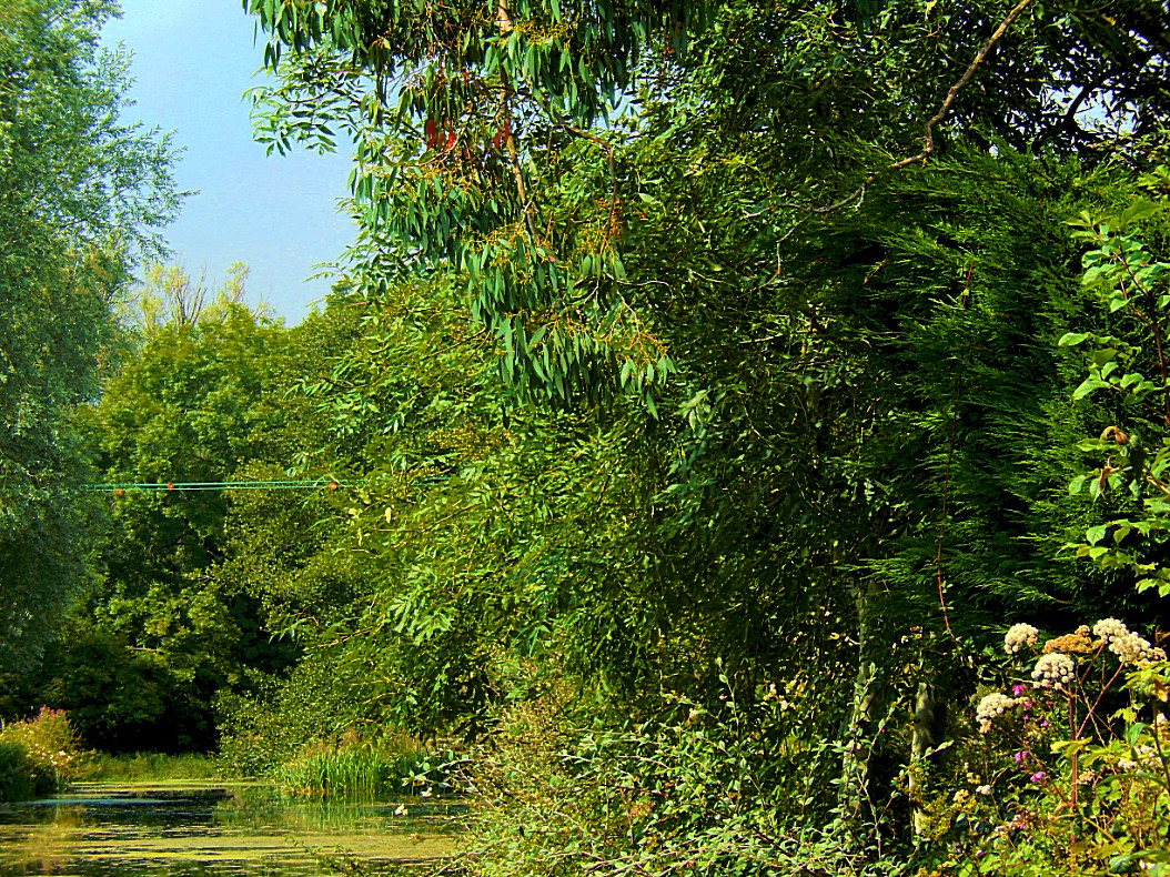
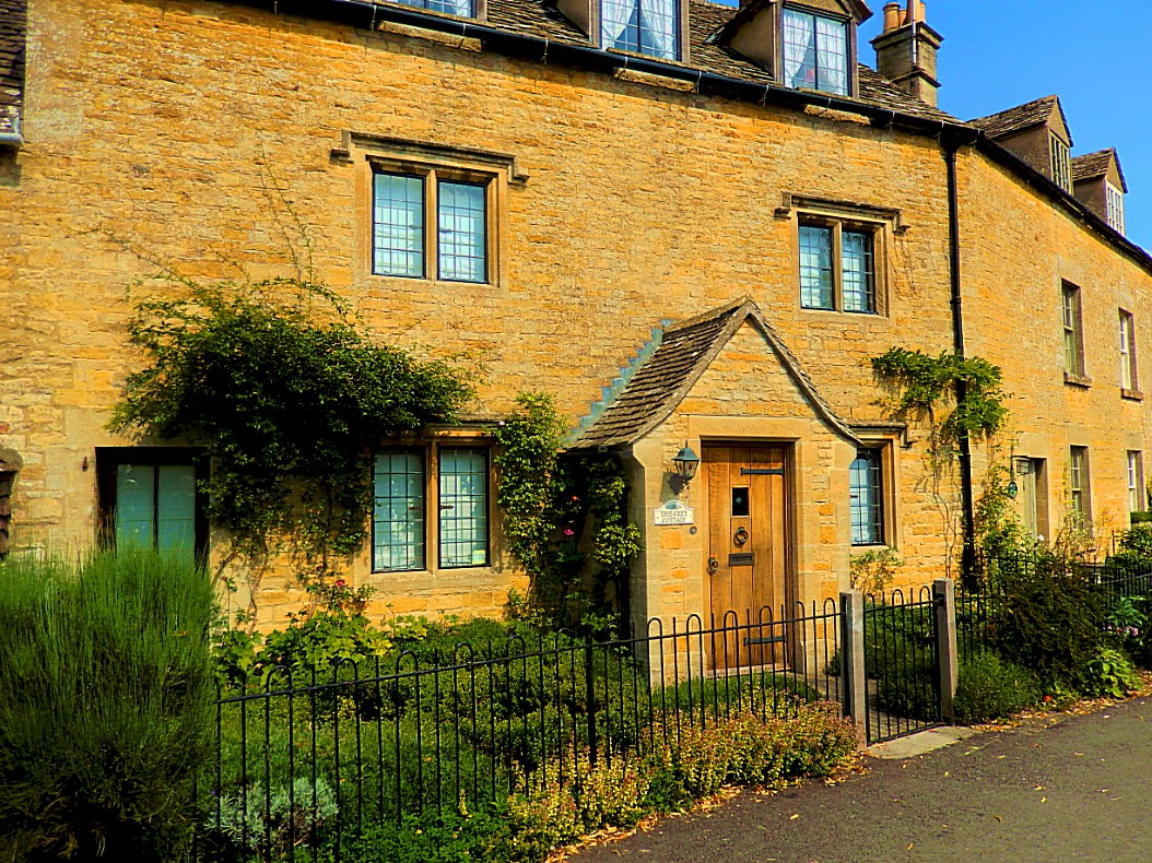
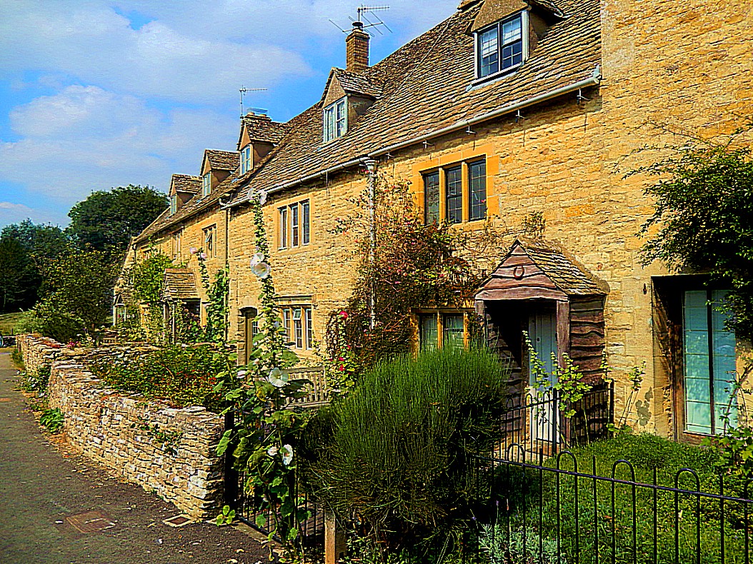
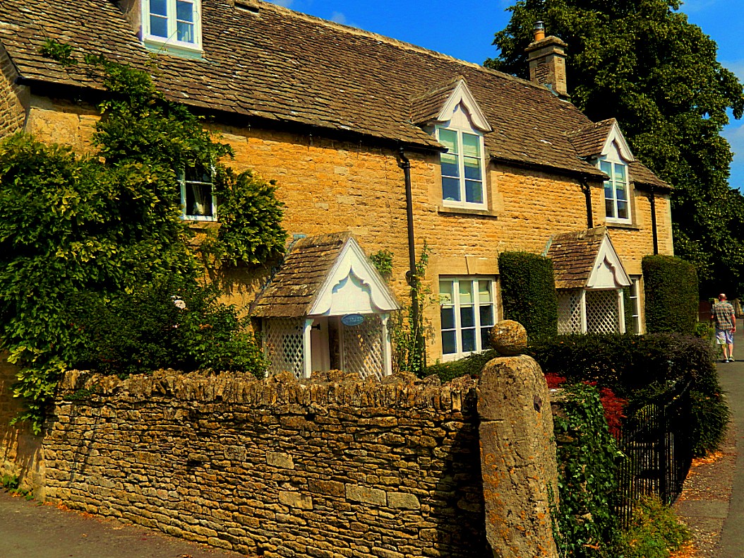
The Slaughters (upper and Lower) are two small villages that do have 1 more attractive something, which is not related to monumental buildings. They are both… tatdadada: Not possible to reach by touring car :-))))))))))))) This is why these awesome villages are skipped by all tourists that depend on touring cars to bring them from tourist hotspot to tourist hotspot. When The Wandelgek arrived here, he immediately recognized the quality of both villages, but he was one of a few, scarse tourists that had found these villages. I can only say that I hope that touring cars will never be allowed to reach these 2 wonderful villages, because it might just ruin them if they do.
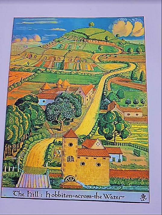
It is quite well known that The Mill on The Water in Hobbiton is probably based on a Mill in Sarehole, a small village near Birmingham which has been encapsulated by the second largest town in England, but which was a country village when Tolkien and his mother lived there in his youth.
But this mill in Lower Slaughter is of a similar type.
This is the same sort of corn mill as the Sarehole one and thus similar to the one on the drawing of Hobbiton by the Water by J.R.R. Tolkien…
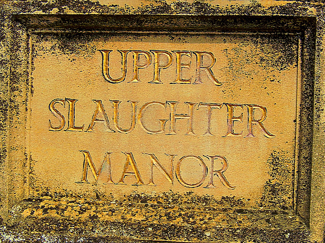
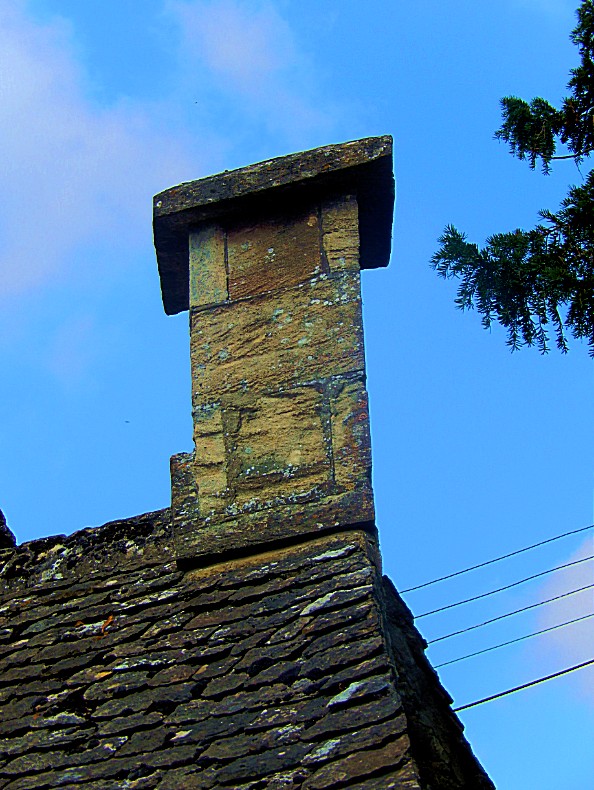 Upper Slaughter Manor
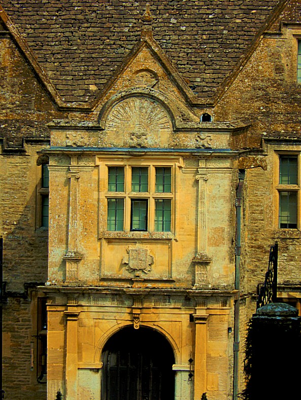
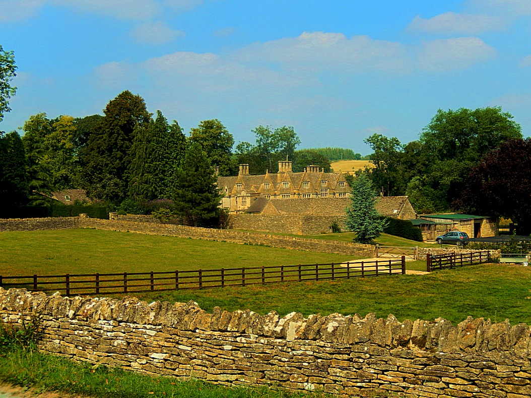
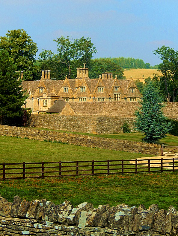
Upper Slaughter Manor is a picturesque Elizabethan manor house set in idyllic Cotswold countryside above the River Eye, just outside Bourton-on-the-Water. The house was bult by the Slaughter family and incorporates part of an earlier medieval building.
History
The manor of Upper Slaughter dates back to the Saxon period, and in the Domesday Book of 1086 it is recorded as in the possession of Roger de Lacy, a powerful Norman nobleman, possibly as a submanor of the royal manor of Lower Slaughter. The Abbey at Evesham later claimed the estate, but their claim was rejected by the courts. By 1467 the abbey of Syon, near London, held the manor.
Some time in the late 12th century the Slaughter family emerge as owners. They may have taken their name from the manor rather than giving the manor their family name. We do know that in 1282 John Slaughter and his wife are recorded as holding the manor.
The house we see today was begun in the Tudor period by the Slaughter family, and extended several times, but it stands on the site of a much earlier building, as evidenced by the vaulted crypt beneath the building. The crypt has been dated to the 14th century and may have formed part of a medieval monastery.
An early name of the house seems to have been Well Place, a reference to the numerous springs, or wells, which supplied drinking water. Well House probably gave its name to one of the early lords of the manor, Richard Atwell.
The Manor is built on an L-plan, of rubble beneath a roof of Cotswold stone, and stands on sloping ground above the river. At the centre stands an impressive two-story porch in Doric style with Ionic pilasters and a semi-circular pediment. These neo-classical adornments were added in the 17th century, when Greek and Roman style was the fashion.
Though the house was clearly intended to be fashionable, and make a statement of the owners wealth and taste, the house fell into decay by the middle of the 18th century. In 1742 it was described as no more than a farm house. It was restored in the late 19th century and enlarged in the early 20th century to create a more symmetrical facade. Once again the house was allowed to decay, and was unoccupied for several years. Thankfully it has once more been restored and is now a lived-in family home, open to visitors for several weeks each year.
The tour takes in several rooms on the first floor, then descends a work stone set of spiral stairs to the medieval undercroft, and from there takes in the old kitchen, with its huge stone fireplace.
The interiors are a fascinating mix of historic art, fine furniture, and modern paintings. The owners have collected a wonderful mix of art over the years, arranged in an eclectic style, from bespoke modern works by Kit Williams, known for his ‘Masquerade’ treasure hunt book, to important pieces of historic ceramics. The most impressive part of the interior is a nationally important collection of handmade lace, from historic pieces to modern prize-winning samples. According to our friendly tour guide the lace collection is so well-known that people visit from across the world just to see the collection.
Surrounding the manor are lovely gardens, with lawns sloping down to a small lake. Fanciful topiary dots the lan, and on the far side of the lake is a nature trail through quiet woodland, following the course of the River Eye. Other garden features include a reconstructed folly and a formal rose garden, lush with colour at the height of summer. There are tall, clipped hedges forming a secret garden area, and a beautiful pergola near the house. The gardens stretch to several acres, with glorious views over the surrounding Cotswold landscape, and are well worth a visit in their own right.
Upper Slaughter
Upper Slaughter is a village in the English county of Gloucestershire located in the Cotswold district located 4 miles (6.4 km) south west of the town of Stow-on-the-Wold. Nearby places include Lower Slaughter, Bourton-on-the-Water and Daylesford.
The village is built on both banks of the River Eye. The Anglican parish church is dedicated to St. Peter.
Upper Slaughter was identified by author Arthur Mee as one of 32 Thankful Villages, although more recent work suggests a total of 52. This term referred to the small number of villages in England and Wales which had lost no men in World War I, and was popularised by Mee in the 1930s. In Enchanted Land (1936), the introductory volume to “The King’s England” series of guides, he wrote “that a Thankful Village was one which had lost no men in the Great War because all those who left to serve came home again.” Although the village was subject to an air raid, it also lost no men in World War II, an honour held by only 14 villages, collectively known as the Doubly Thankful Villages.
The parliamentary constituency is represented by Geoffrey Clifton-Brown MP.
The largest business in the village is the Lords of the Manor Hotel.
St Peter’s Church
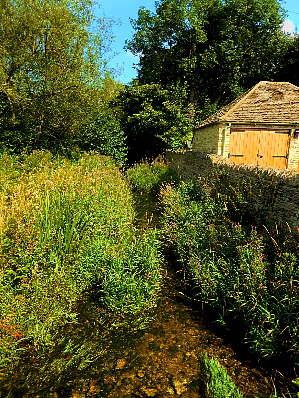
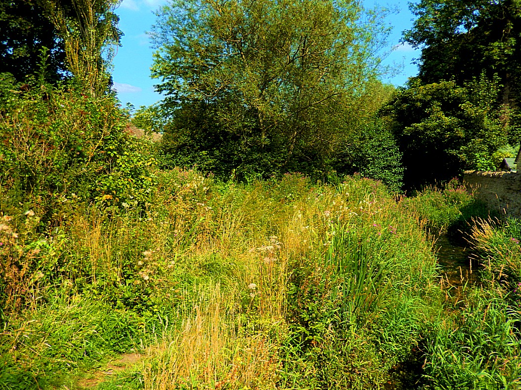
River Eye
 Stow-on-the-Wold
Stow-on-the-Wold is a small market town and civil parish in Gloucestershire, England. It is situated on top of an 800 ft (244 m) hill, at the convergence of a number of major roads through the Cotswolds, including the Fosse Way (A429), which is of Roman origin. The town was founded as a planned market place by Norman lords, to take advantage of trade on the converging roads. Fairs have been held by royal charter since 1330 and an annual horse fair is still held on the edge of the town.
History
Origins
Stow-on-the-Wold, originally called Stow St. Edward or Edwardstow after the town’s patron saint Edward, probably Edward the Martyr, is said to have originated as an Iron Age fort on this defensive position on a hill. Indeed, there are many sites of similar forts in the area, and Stone Age and Bronze Age burial mounds are common throughout the area. It is likely that Maugersbury was the primary settlement of the parish before Stow was built as a marketplace on the hilltop nearer to the crossroads, to take advantage of passing trade. Originally the small settlement was controlled by abbots from the local abbey, and when the first weekly market was set up in 1107 by Henry I, he decreed that the proceeds go to Evesham Abbey.
Wold
Stow-on-the-Wold. The word wold is present in several placenames on Tolkiens maps of middle earth.
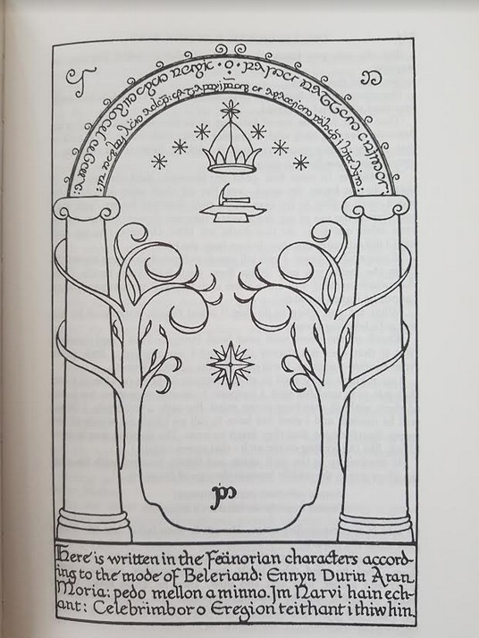
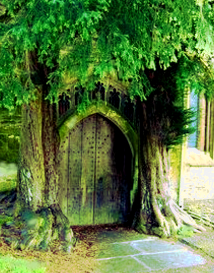
The doors of Durin?
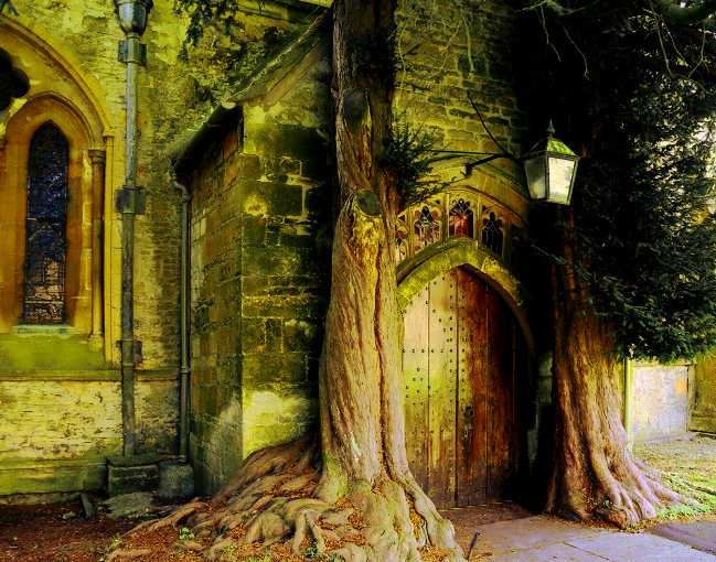
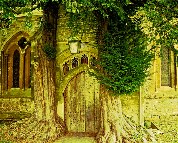
In Stow-on-the-Wold The Wandelgek was searching for St. Edwards Parrish Church, a cotswold stone Norman church dating from the 11th-14th century. The church doors on the west are medieval and they are flanked on both sides by two ancient Yew trees. This is not a common phenomenon in England and I ‘ve never seen it before or heard of it before. It is believed that these church doors were the main inspiration for the Doors of Durin in professor J.R.R. Tolkien’s The Lord of the Rings.
The church was built on the site of an older wooden Saxon church.
Personally I think it’s quite plausible that these specific doors inspired Tolkien to design his entrance gate into Moria, but again, its not conclusive evidence. So see for yourself and tell me what you think 🙂
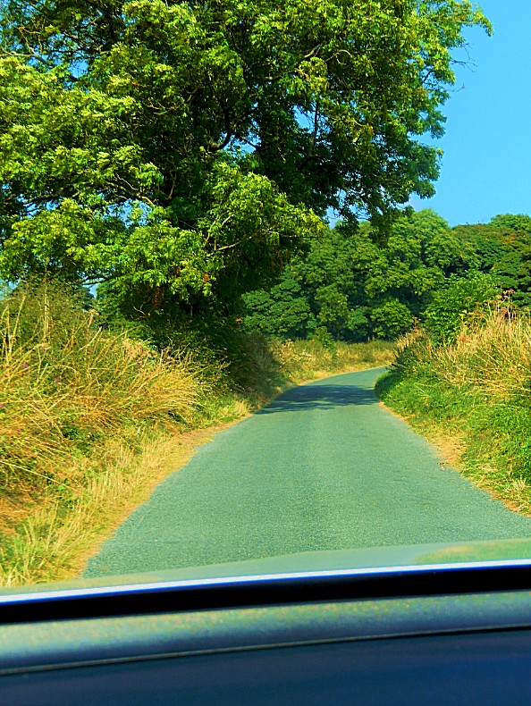
After visiting the church doors, I had still one other place I wanted to visit and actually I was most excited about that one 🙂 We drove onwards through the beautiful Cotswolds passed Lower Oddington towards the A44. Reaching the A44 we turned northwest towards Moreton-in-Marsh
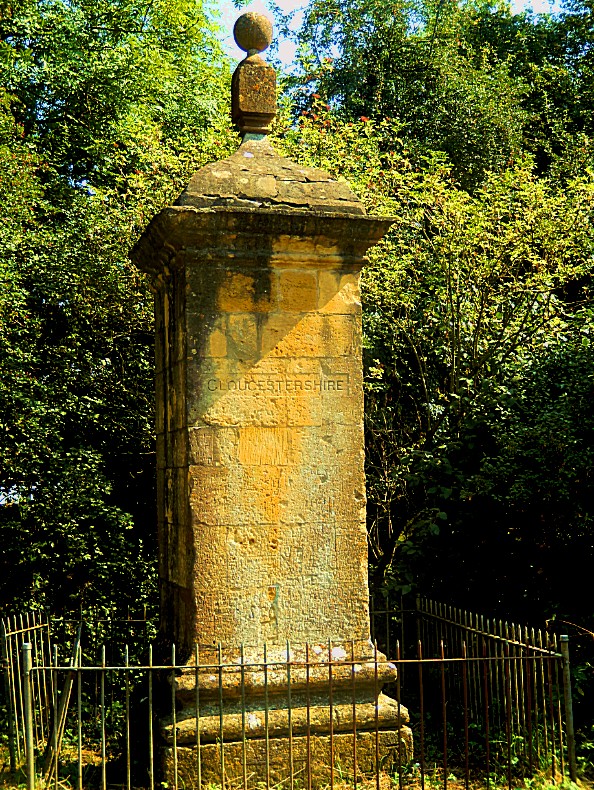
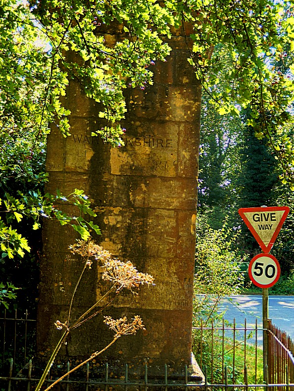
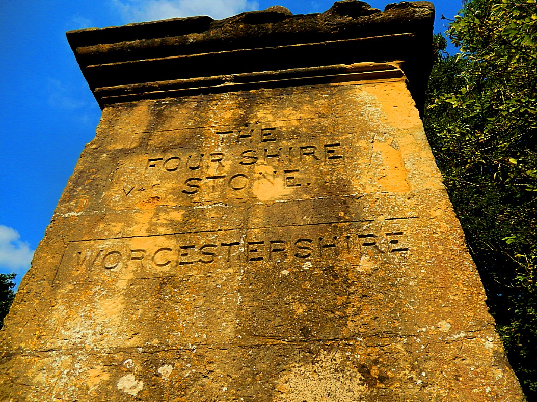
 The Four Shire Stone
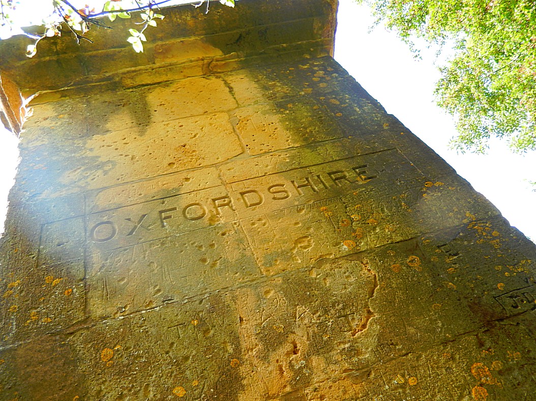
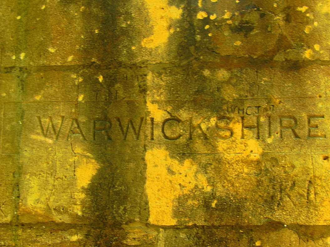
The Four shire stone is a boundary marker that marks the place where the four historic English counties of Warwickshire, Oxfordshire and Gloucestershire, and Worcestershire once met. Since 1931, with a change to the boundaries of Worcestershire, only three counties have met at the stone.
Boundary marker
It is not a stone, but a nine-foot high monument, built from the local Cotswold stone. It is in the English midlands at the northern corner of a T junction on the A44 road, a mile and a half east of the small town of Moreton-in-Marsh, at 51°59′15″N 1°39′57″W, grid reference SP2301432023. The existing structure was probably built in the 18th century, and is a grade II listed building. There was an earlier “4 Shire Stone” on or near the site in 1675. Thomas Habington’s Survey of Worcestershire mentions “the stone which toucheth four sheeres, a thing rarely scene”.
Six (formerly seven) civil parishes meet at the stone:
- Moreton-in-Marsh to the west, in Gloucestershire;
- Batsford to the northwest, also in Gloucestershire;
- Formerly Lower Lemington to the north, also in Gloucestershire, and which merged into Batsford in 1935;
- Great Wolford to the north, in Warwickshire;
- Little Compton to the northeast, also in Warwickshire;
- Chastleton to the southeast, in Oxfordshire;
- Evenlode to the south, now also in Gloucestershire; until 1931 it was a detached part of Worcestershire.
Most of Worcestershire is to the north-west of the stone. Thus the order of the four counties around the stone was different from what one might expect from a map of England. The stone ceased to be the meeting-point of four shires in 1931, when Evenlode was transferred to Gloucestershire, so since that date only three counties meet at the stone.
The Four Shire Stone once marked the spot where 4 Shires bordered eachother. Local ruffians used to gather at the stone to perform illegal knuckle fist fights and locals could place bets on the outcome. When a policeman arrived at the fights (E.g. from Gloucestershire) to arrest participants in the fights and gamblers , the crowd simply moved a few steps into another shire and out of the policeman’s juridiction 😀
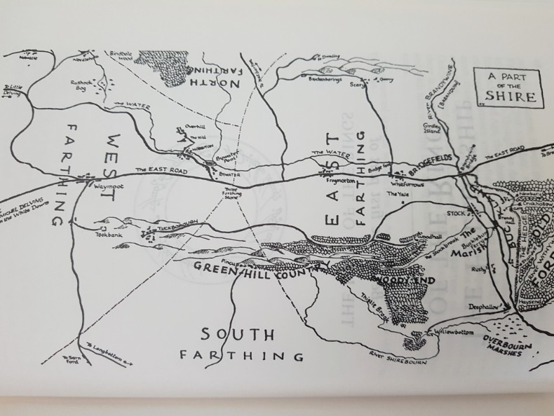
It is claimed that the Four shire stone inspired the “Three-Farthing Stone” in J. R. R. Tolkien’s books The Hobbit and The Lord of the Rings. In those books, The Shire is divided into four farthings, three of which meet at the “Three-Farthing Stone”.
Not only did this Four Shire Stone mark the spot where for shires met, it nowadays marks the spot where three shires meet, because there has been an exchange of land snce 1931, with a change to the boundaries of Worcestershire, only three counties have met at the stone. Worcestershire is now not bordering the stone anymore.
I’ve thought this over and over. I researched maps and writings about old border marker stones but it seems there are too many coincidental similarities between the Four Shire Stone and the Three Farthing Stone, to describe this as another only plausible inspiration source for Tolkien. The four shire stone convinced me that Tolkien was certainly inspired by it and thus even more plausible by the rest of the Cotswolds.
 End of the ride in Moreton-in Marsh
I know it was only a marker stone at the A44 that I had just been visiting, but it seriously made my day :-)))))
We now drove on to Moreton-in-Marsh and I ended my cab drive at the White Hart Royal Hotel. More of that in my next blog.



![By Oosoom [GFDL (http://www.gnu.org/copyleft/fdl.html) or CC BY-SA 3.0 (https://creativecommons.org/licenses/by-sa/3.0)], via Wikimedia Commons](http://www.wandelgek.nl/wp-content/uploads/2018/06/1024px-Sarehole_Mill.jpg)
