Deventer (the ultimate historic walk for history lovers in 4 parts)
Deventer 1250
In the year 768 a missionary named Lebuïnus founded Deventer. This is now (2018) exactly 1250 years ago.
The Wandelgek decided to honour the city with an indepth and extensive new historic walk through the old historic town.
What to expect
Don’t expect an article where every historic feat is based upon researched notes. This is not a science or research based blog but a description of a historic walk using several sources as a backdrop, to give you a thorough and a general idea how Deventer developed. If you want to check the historic remarks then use the Sources section at the bottom to research history for yourself. However, I dare say that the general idea of a chain reaction as written down in my Conclusion is correct.
Do expect to get more knowledge of Deventer’s history, like why it was such a large and wealthy town, about its extensive defensive city walls, about its origin and Viking attacks, about it being for decades the seat of 3 Bisshops, of its large year markets and of its membership of the Hanze Trade Union, of it being the cradle of the ideas of Modern Devotion and of Humanism and of its growth and importance as a strategic town and why it bevcame a protector, keeper and spreader of the written word (books)…
Introduction
The very 1st settlements of farmers in the area that is now known as the dutch city of Deventer, were found on three old sand dunes (the orange and yellow) areas in the map below) along the river IJssel. The settlers chose those spots because the river flooded several times a year (the green areas in the map below) and the best spot to keep dry feet and keep the cattle from drowning was on those high dune tops. Why settle there at all? Well the lands boarding the river were among the most fertile lands in the area.
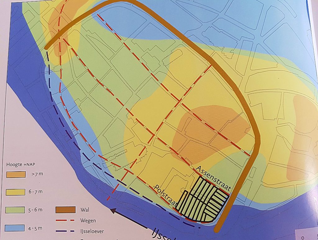
These sand dunes can still be traced in the elevation levels during this walk. In Part 1 of the walk you will visit the dune that’s located at the Noordenbergkwartier (North hill quarter), in the 2nd part you’ll visit the highest dune located at the Bergkwartier (Hill quarter). Both quarters are typical mediaeval town quarters which show a medieaval street pattern. In the 3rd part of the walk you’ll visit the dune located in the area of the Polstraat. Between those three dunes were the low parts which were less used for farm buildings and more for cattle grazing when the river was low and as trading places, like market squares (1st fields of course but later covered with stones). One of those low areas is the current area where the Nieuwe Markt (New Market), Stromarkt (Straw Market) and Grote Kerkhof (Large Cemetry) are located and the 2nd area is where now the Brink is located.
Now we skip a large period and return to Deventer and the river delta area that would eventually become the dutch republic, and we get to the 9th century in which the romans had been driven south and the Empire of Charlemagne was already waning. In those days cities like Amsterdam, Rotterdam and The Hague were of no meaning yet. Two important towns in those days were Utrecht and Dorestad. Utrecht being the largest town in the pre republic area, because it was the seat of a Bisshop and his clergy and Dorestad because it had become the main trade centre in the area due to its position near the shores of the Zuiderzee (Southern Sea (which we nowadays know as the IJsselmeer (IJssel Lake).
Of Vikings and Norsemen
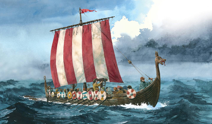
But the waning power of Charlemagne’s Empire meant that others used that as an opportunity to gain wealth. By others I mainly mean the Vikings and Norsemen, sailing south with their Drakkar ships from Scandinavia towards the wealth of Charlemagnes Empire and they discovered it was virtually undefended. They sailed across the Baltic and North Sea and then upstream on the large rivers, deep into the inland. Some sailed acroos the Southern Sea and upstream on the Ijssel river. Others went ashore at Dorestad were they found it totally unprotected due to its economically defined position. Dorestad had never been positioned at a strategical or military defendable location. They plundered and set fire to it several times and people started to abandon it quickly.
The abandonment of Dorestad however, meant that the Vikings and Norsemen landing there, had to shift their attention elsewhere to gain treasure and wealth and the most logical place to shift that attention to was Utrecht. The Bisshop of Utrecht thought of this too and decided to abandon Utrecht which was not defendable either and he 1st chose Saint Odiliënberg tiny Hamlet near Roermond as is seat. Nowadays Saint odiliënberg still is quite small but it has a huge church/cathedral with two humongous towers seen from afar when nearing the village. This church is way to big for such a tiny community, but history as told above explains why it was build there anyway.
But the Norsemen kept advancing into the interior of the delta and they reached the area of the River Maas/Meusse near Roermond. Saint odiliënberg had been save for a while because of its distance from the North sea, but it was never a very defendable location either.
After Dorestad had been ransacked by the norsemen and Vikings, they found that Utrecht was not that interesting anymore after the Bisshop had left, including the Churches wealth. So they searched for other interesting location to plunder and one of those was the Valkhof of Nijmegen, a former Palts or hunting castle used by Charlemagne. They did conquer it eventually but in order to do so they sailed their drakkar ships south over the River IJssel passing Deventer and Zutphen and not only passing them but plundering those little settlements and burning them to the ground. After that they sailed south towards Nijmegen.
The inhabitants of Deventer (and Zutphen) however, did not wait for them to return. They rebuild their settlements and they started creating defenses against the invaders.
One of those defenses was an earth wall with a wooden palisade on top of it and a dry moat in front of it. This and the natuaral defense which the river provided would make it very difficult for the Norsemen and Vikings to conquer and plunder these settlements again. The amount of norsemen and vikings on the relatively small Drakkar ships was not very huge, so they were less likely to attack fiercely defended settlements which would bring them heavy loss of men (which they needed sorely to return them to Scandinavia).
When the Bisshop heard about the city of Deventer and is defense wall against the invaders and when he learned the settlement already had a small church which was left there by Bisshop Laefwin (Lebuinus), he decided to move his entourage to Deventer and for a short but nevertheless important period in history, Deventer became a temporary Bisshop’s seat. Actually 3 bisshops ruled from Deventer, before the third returned to utrecht after the danger caused by the Norsemen and Vikings had waned. Those three bisschops were Odilbald, Radboud and …. .
Bisshops in Deventer
The settlement of the Bisshop and his large entourage in Deventer meant that the buildings where they had to live, pray, learn and rule had to be build and these were not simple wooden farm buildings, but buildings of stone with more luxury added. A large area of the old town was reserved for the followers of the Catholic church. Nowadays we can see the remains of this area stretching from the Groote Kerkhof via the Sandrasteeg and the Lamme van Diese square towards the Broederenkerk and the area Achter de Broederen. This large area once was completely reserved for the Bisshop’s and their entourage and there was even talk and planning of digging a moat around this area to defend it. This moat did eventually appear many years later, surrounding a much larger area of the town.
The inner moat
The Binnengracht (Innermoat) as this moat was named many years later after the city succesfully became an important member of the Hanze trade Union and expanded and needed a second Outer moat), has been drained in the Industrial era, because it bore a horrific stench into town and caused dissease, because people dumped all sorts of garbage in it and used it as an open sewer. It has now completely vanished, but there are still lots of traces to be found within the present city of Deventer.
The city of Deventer was threatened by the Norse invasions, but eventually this strengthened its position as a temporary Bisshop’s seat and as the most important trade town in the Netherlands before the rise of Amsterdam. In that period only Utrecht remained larger in population.
The earth wall was replaced by a stone wall and later even by a double stone wall and in both walls were gates, meaning that of alot of gates there were an inner and an outer version, like e.g. the inner Bergpoort and the Outer Bergpoort, or the Inner Vispoort and the Outer Vispoort.
But as the years passed, modern warfare became more capable in destroying these brick stone walls and the invention of the canon made them obsolete. Maurits and his State Army, conquered Deventer after he blew some large holes in the outer and inner city walls, using canons (this happened at the Zandpoort).
The outer moat
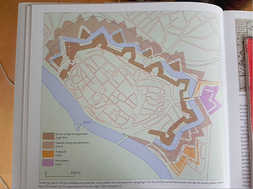
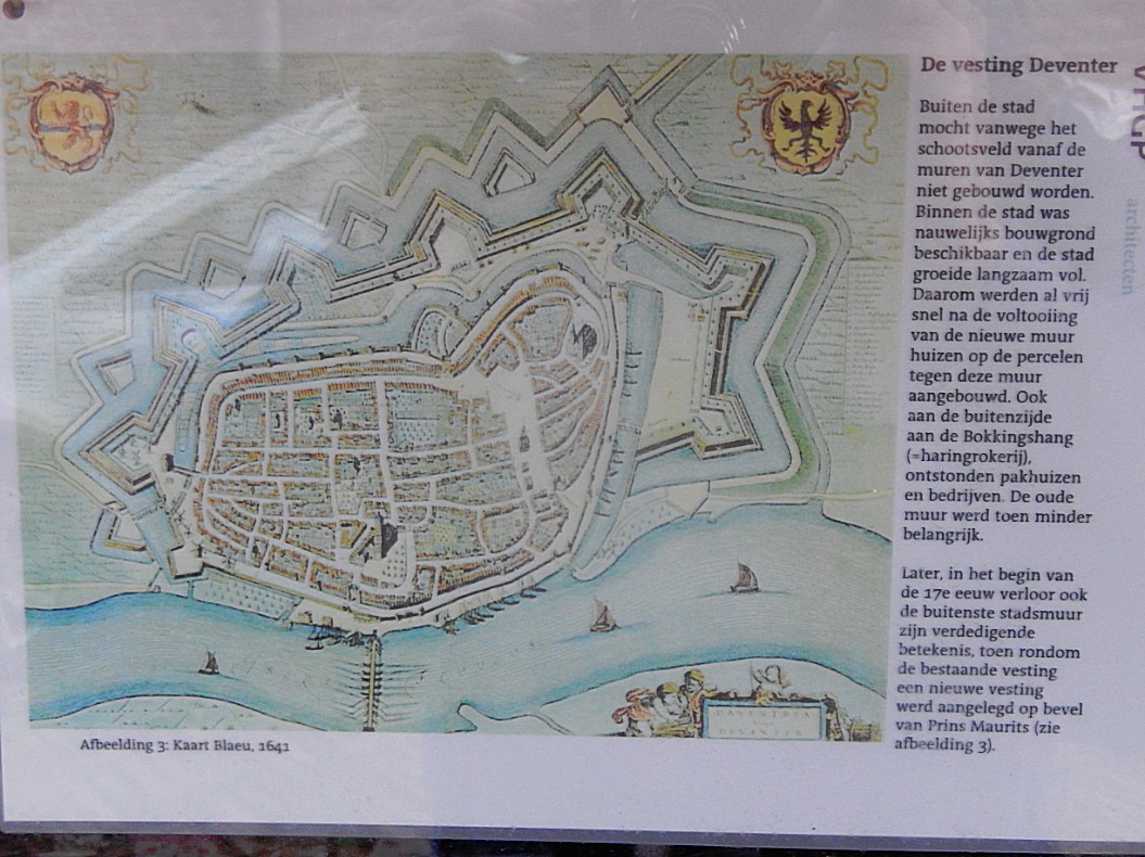
Deventer kept changing loyalties or got conquered by sometimes the Spanish Army and sometimes the Replubic Army, but when the Republic grew more and more into a real country, Deventer was permanently conquered. Its location was of the utmost importance to the Republic but also to every invading army. At Deventer it was easiest to cross the river IJssel and push through towards Utrecht and Holland. That’s why Maurits decided to strengthen or better renew/modernize the Deventer defensive city walls. A new much stronger defensive circle was created around the Inner walls, which were not torn down but remained.
Around this new defensive system consisting of new stronger walls and 7 bastions placed strategically around the city on the land side. Around this wall a new wider moat was dug and in this moat, placed between the bastions, small ravelin islands were constructed as defense. The current Vogeleiland was such a ravelin. The city, in practice, became the capital of the east. The most important town and tool from where to control Overijssel.
The Walk
This walk will guide you and provide you with some more interesting information of the Outer and Inner moats of Deventer and you’ll also get to the area where the Bisshop’s and their entourage resided and ruled. Finally I will provide a list of sources in which the interested reader will find even more about the history of the beautiful Hanseatic Town.
Start of the historic walk
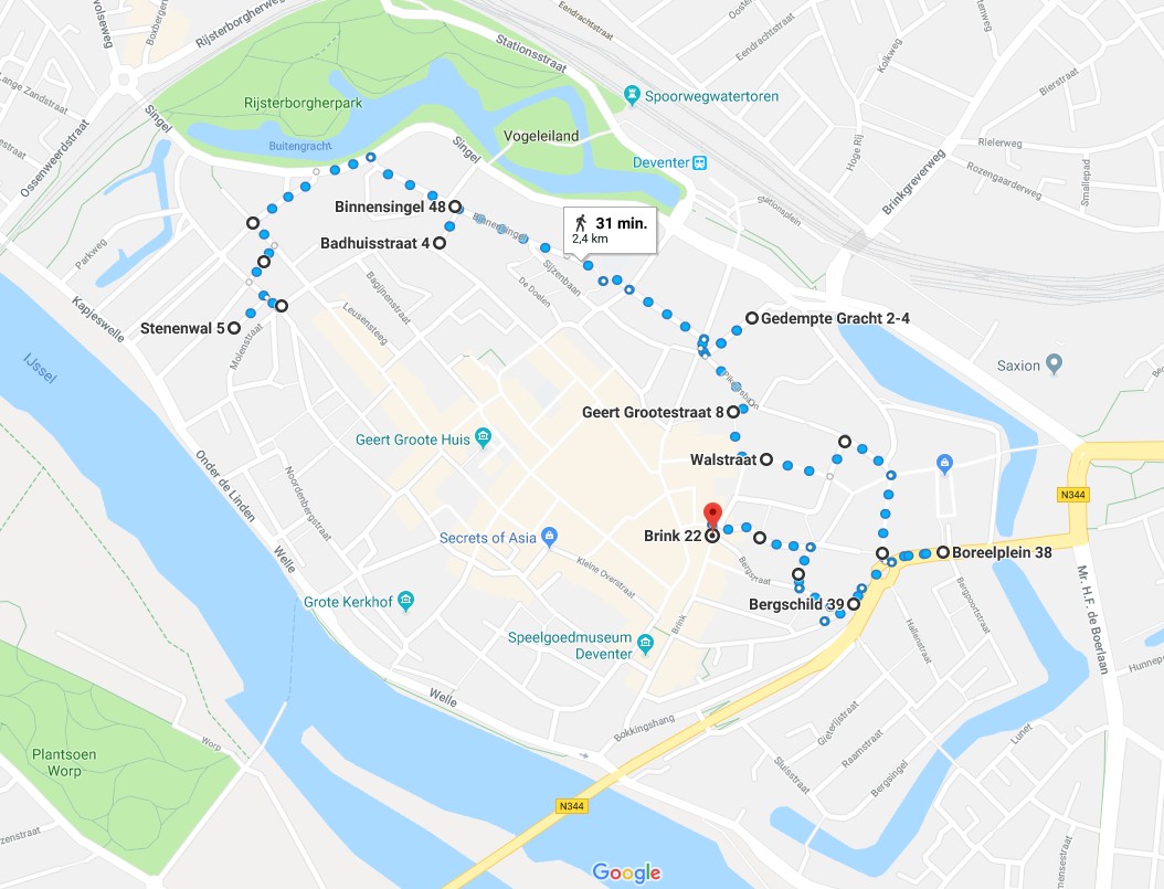
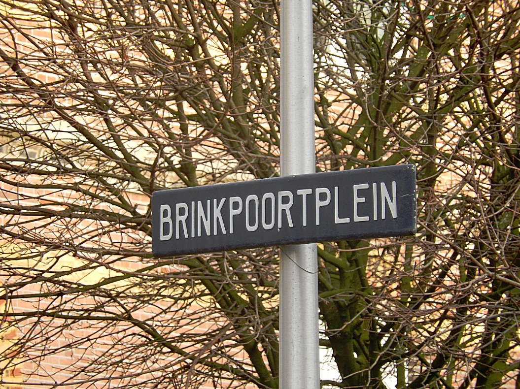
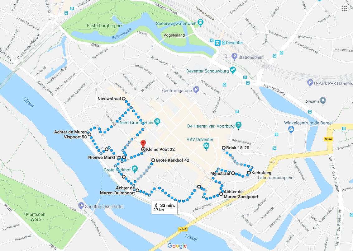
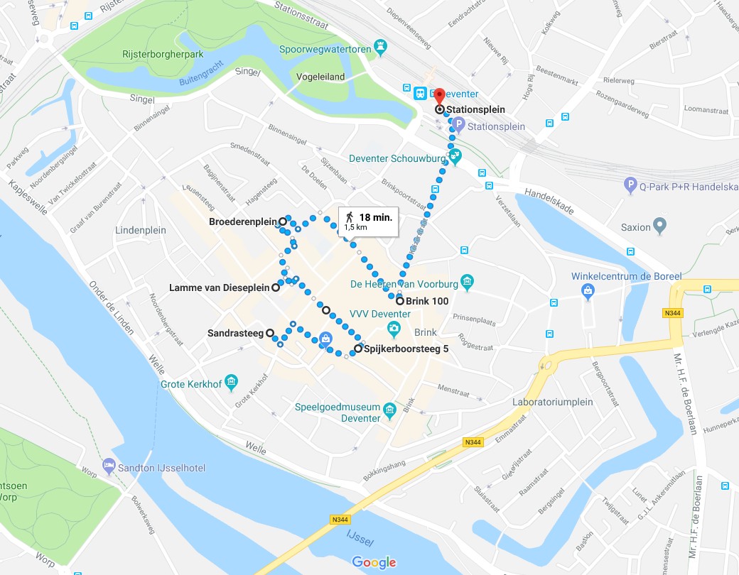
Part/Map 1: Stationsplein –> Vogeleiland –>Oude Plantsoen–> Drakenbrug –>Noordenbergsingel –.>Parkweg–>Kapjeswelle Graaf van Burenstraat–>Molenpad–> Part/Map 2: Stenen wal–> Noordenbergschild–> Graaf van Burenstraat–> Gibsonstraat–> Binnensingel–>Badhuisstraat tot aan Smedenstraat–>Terug naar Binnensingel–> Brinkpoortstraat–> Brinkpoortplein–>Brinkpoortstraat–>Gedempte Gracht–> Pikeursbaan–> Geert Grootestraat–> Walstraat–> Damstraat–> Pikeursbaan–> Houtmarkt–>Emmaplein–>Kazernestraat–>Emmaplein–>Emmastraat–>Bergschild–>Stairs–>BergKerkplein–> Roggestraat –> Part/Map 3: Brink–>Bergstraat–> Bergkerkplein–>Kerksteeg–>Bergschild (Stadswal)–>Menstraat–>Brink–> Rijkmanstraat–>Muntengang–> Achter de Muren Zandpoort–> Zandpoort–>Boterstraat –> Brink–> De Heks–> Polstraat–>Manhuissteeg–>Achter de Muren Duimpoort–>Duimpoort–> Sint Janssstraat–> (rondje) Groote Kerkhof (blik werpend op Lange Bisschopstraat)–>Waterstraat–>Vispoort–> Nieuwe Markt–>Dikke van Dale–>Achter de Muren Vispoort–>Kranensteeg–> Noordenbergstraat–>Klooster–> Tibbensteeg–> Nieuwstraat–>Stromarkt–> Graven–> Nieuwe Markt–> Hofstraat–> Kleine Poot–> Part/Map 4: Sandrasteeg–>Lange Bisschopstraat–>Kleine Overstraat/Jordenshof–>Spijkerboorsteeg–>Grote Overstraat–>Pontsteeg–>Lamme van Dieseplein–> Engestraat–> Achter de Broederen–> Smedenstraat–> Korte Bisschopstraat–> Brink–> Keizerstraat–> Stationsplein
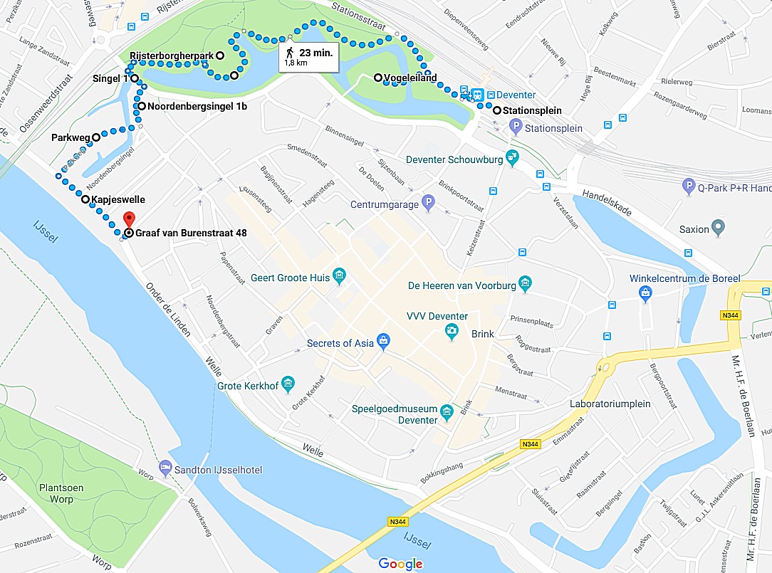
Route and Map Part 1
Part/Map 1: Stationsplein –> Vogeleiland –>Oude Plantsoen–> Drakenbrug –>Noordenbergsingel –.>Parkweg–>Kapjeswelle Graaf van Burenstraat–>Molenpad–>Part2/Map2
Route Description Part 1
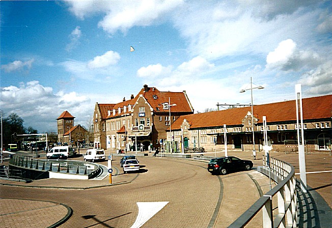
![]() We start walking in front of the Deventer Railway Station.
We start walking in front of the Deventer Railway Station.
Deventer Railway Station and Station Square
This brilliant movie aboit the station’s history was shown at the Open Monument Day in 2023 at the Mimik movie house in Deventer:
The station is worth getting a closer inspection.
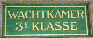
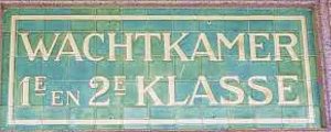
Deventer is a railway station in Deventer, Netherlands. The station was opened on 5 August 1865 and is on the Apeldoorn–Deventer railway, Deventer–Almelo railway and the Arnhem–Leeuwarden railway. The train services are operated by Nederlandse Spoorwegen.
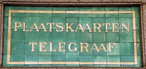


The station has good connections into all directions, North, West, South and East.
The buildings of the station consist next to the main entrance building of a railway water tower and platform buildings.
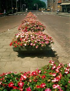 The current main building is from 1914. The station buildings are a great example of only a few remaining early 20th century station buildings left in the Netherlands and there are many details to observe that remind us of a time long gone…
Above are some examples you’d mind want to track down 🙂
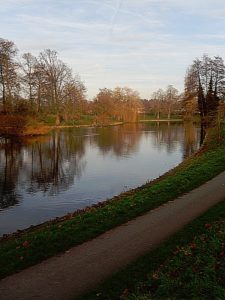
![]() After leaving the right front entrance of the main building, walk straight forward to the edge of the road and cross the road. Then turn right on the pedestrian sidewalk. Turn left when you see a dirt track and follow this until you can go left again, crossing a small bridge onto an Island. Have fun visiting the Island, its restaurant and the small zoo, or folloe the dirt track around the Island (immediately right after leaving the bridge). Return to this bridge when you’ve finished.
After leaving the right front entrance of the main building, walk straight forward to the edge of the road and cross the road. Then turn right on the pedestrian sidewalk. Turn left when you see a dirt track and follow this until you can go left again, crossing a small bridge onto an Island. Have fun visiting the Island, its restaurant and the small zoo, or folloe the dirt track around the Island (immediately right after leaving the bridge). Return to this bridge when you’ve finished.
Bird Island and The Mandala/Vogeleiland en De Mandala
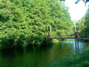 Bird Island/Vogeleiland is the old leftover ravelin number 3, from the outer defenses of mediaeval Deventer. It has a delightful smmall zoo with mainly birds in cages, but also walking freely on the grass and in the bushes. There’s a beautiful restaurant overseeing the outer moat and the old town and a peaceful walking path along is edge.
![]() Cross the bridge and immediately turn left on a dirt track parallel to the moat. The track will join the sidewalk after a few metres. Again after a few metres, a tarred path leaves the sidewalk going left. Follow this path and keep the moat left to you. Neglect all side paths.
Cross the bridge and immediately turn left on a dirt track parallel to the moat. The track will join the sidewalk after a few metres. Again after a few metres, a tarred path leaves the sidewalk going left. Follow this path and keep the moat left to you. Neglect all side paths.
Outer Moat/Buitengracht
The outer 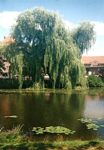 moat/buitengracht still surrounds all of the Deventer historic city center (except for a small part at the Railway station, where the moat was drained because of an underground bicycle garage. Ah yes: The Dutch and their bicycles 😉 There were bastions in this moat to defend the town from invaders and on the inside of the moat was a defense wall with lots of defense turrets and town gates. Nothing physical of that era remains, but e.g. street names do give clues about the past of Deventer as a fortress town.
![]() Keep following the path nearest to the water on your left. You’ll pass the fountain (in spring and summer). The path will retreat from the water and walk around a high hill. Left you’ll see a stone stair going up. Climb that stair and on top go left. To the left you”ll get a splendid view over the Outer moat, the park and the historic town center. Keep following the path as it descends towards the moat and stay on the path keeping the moat to your left.
Keep following the path nearest to the water on your left. You’ll pass the fountain (in spring and summer). The path will retreat from the water and walk around a high hill. Left you’ll see a stone stair going up. Climb that stair and on top go left. To the left you”ll get a splendid view over the Outer moat, the park and the historic town center. Keep following the path as it descends towards the moat and stay on the path keeping the moat to your left.
The Old Park/Het Oude Plantsoen
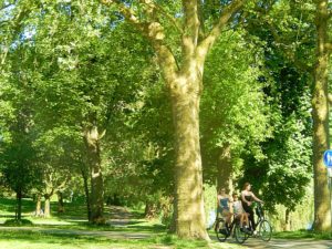 The name “The Old Park” suggests that there’s a “New Park” too and so there is. But to make things complex: There’s an even older park too :-). Deventer is the proud owner of 3 historic parks, of which 1 is the oldest wander park in the Netherlands. I’m talking about the Worp Park/Worp Plantsoen which was mentioned in old descriptions going back in time as far as 1699. A few years after the French occupation of The Netherlands had ceased, this park was restored. In 1813 when Deventer was still occupied, the French army decided to remove all buildings and trees from the western riverbank of the IJssel river, to have a clear unobstructed view on the advancing Kozak army. After the occupation in 1815, Willem I gave permission to restore the park, under condition that if new war threaths occurred, the park would be levelled again.
The Old Park (or Rijs terborger Park/Rijsterborgerplantsoen) which we now enter is much less old than the Worp Park. When the town of Deventer started to grow at the end of the 19th century, due to the Industrial Revolution, its defensive walls which had protected it for so long, 1st against the Vikings and later against other invaders, had to be dismantled, because now they obstructed the cities growth. In 1874 the Rijsterborgerpark or Old Park was build upon the remains of the old fortress of Deventer, but already 1852 a short walk named the Rijsterborger path was mentioned going from the Noordenberg gate to the Brink gate.
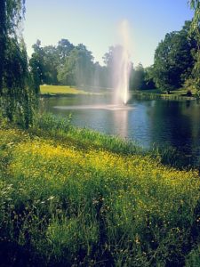
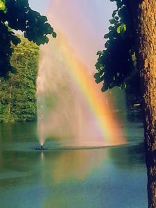 The park was designed bij famous garden architect Leonard Anthony Springer in 1887, after the fortress of Deventer was abolished in 1874. Leonard Anthony Springer was also the architect of the famous Vondel Park in Amsterdam. In 1968, The Old Park was given the status of national monument (this status was also given to the Vondel Park).
The New Park which I mentioned before was constructed in 1893, again by Leonard Anthony Springer.
Dragon Bridge/Drakenbrug
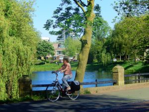 Near the Dragon bridge/Drakenbrug is a statue of Europe and the Bull bij Pieter d’Hondt. Scattered around the Park, are several art statues, theres a fountain in the moat and a music dome, small zoo with mainly birds and restaurant on Bird Island.
Dragon Bridge has nothing to do with dragons, but the faces of what seem to be Ogres or Gargoyles on the bridges arc, did remind people of dragons.
This bridge was once less wide and used by pedestrains and cyclists only.
![]() At the end of the tarred path at the Dragon bridge, go left and cross the bridge. Immediatly after crossing the bridge, cross the road (Singel).
At the end of the tarred path at the Dragon bridge, go left and cross the bridge. Immediatly after crossing the bridge, cross the road (Singel).
Singel and Noordenbergsingel
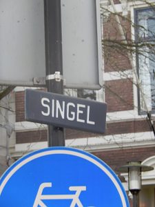
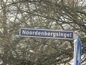 In English “singel” could be translated as Girth, or Boulevard, meaning a road walking on the edge of a moat, canal or a ditch. And that is exactly what this singel is. On older maps of Deventer you’ll see that the current Singel did not cross the Dragon Bridge but kept following the moat until it reaches the River IJssel. With the Industrial Revolution, its inventions of transport like the car and the train came to Deventer and this made it necessary to widen the Dragon Bridge for cars to cross it and to make a viaduct tunnel through the Railway dam. The road crossing the bridge and going through the viaduct, was the new extension of the Singel. The part going to the river now needed another name and was named after the historic town quarter (Noordenbergkwartier) which it skirted. Its new name was Noordenbergsingel.
![]()
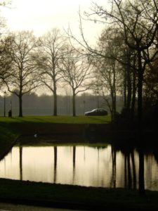
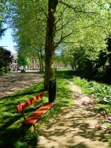 After crossing the Singel, go left and immediately right with the water of the moat now immediately to your right. After a few metres a dirt path starts. Follow this until you reach a tarred road going right (Parkweg). Go left, cross a small dam onto an Island and keep following the Parkweg (Park Road) to its end).
Parkweg/Island
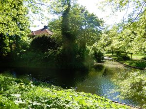 The Parkweg crosses a small Island which in 1874 was appointed as a residential area. Leonard Anthony Springer, the architect of the Park we just left, had hoped that the city counsel would appoint him as achitect of this aea too, because it was similar in landscape as the park area, but they didn’t. But when he had finished the Park, the residents of this area were so impressed that they contracted Springer and he created a Park like residential environment between the Old Park and the River IJssel. The island is probably the remainder of a ravelin from Deventers defense works.
Kapjeswelle and Onder de Linden
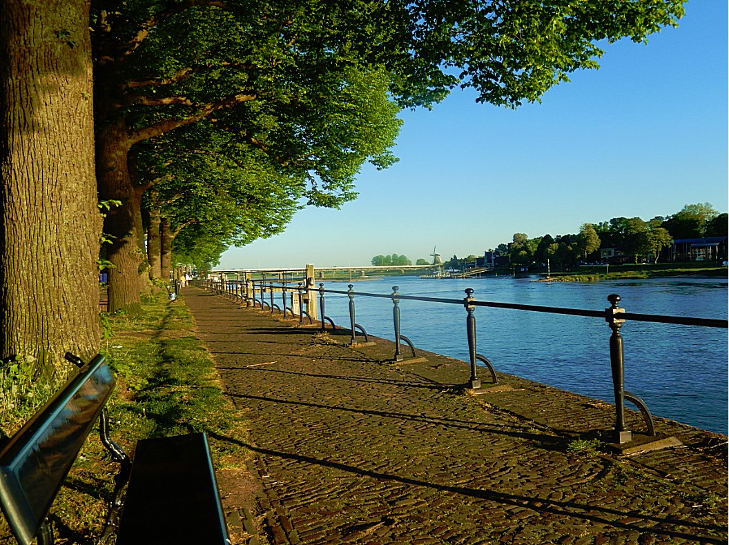
You’ve now reached the River IJssel, which runs north as a division of the River Rhine at Arnhem, passing the Hanseatic towns of Zutphen, Deventer, Hathem, Zwolle and Kampen, towards its mouth in the IJsselmeer.
It’s the life source of Deventer and it was very important for its economic development and its defense, but it brought dangers too, like yearly floods and invaders from the north.
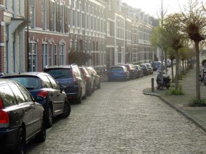 In mediaeval Deventer, we would now be outside the city walls. The outer moat and the outer city walls described before, did not exist yet but were build after the Middle Ages in the 16th to 18th century. We would now stand in a low area where there were some trees and people liked walking here. It was named: “Onder de Lindekes” (Beneath the Linden trees) because of the Linden trees growing here. The road in front has a beautiful sidewalk on the riverbank underneath Linden trees too. Its name is still Onder de Linden and every year on the 1st Sunday of August, the largest open air bookmarket in Europe (bearing a length of above 6 kilometres) is held here. Another thing the mediaeval inhabitant of this city would notice was the high city wall and defense tower. These were build upon the top of the 1st of the three sand dunes were Deventer began. The top of this dune is can nowadays be noticed in the elevation and i
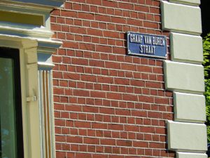
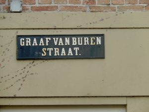 t is located at the end of the Molenstraat, (Korte) Noordenbergstraat, Noordenbergschild, Papenstraat/Bruijnsteeg, Gibsonstraat, Graaf van Burenstraat, ending just before the Binnensingel. This defensive construction was called the Graaf van Buren Bastion. The current Graaf van Burenstraat (Earl/Count of Buren street) reminds us of this. In the 16th century, work began on the construction of a second defense system around the town, creating more space for citizens and a stronger defense against invaders. These defenses included a double city wall and an outer moat, build in a bigger circle around the existing inner moat and inner city wall. We now enter the historic mediaeval city centre at the Noordenbergkwartier.
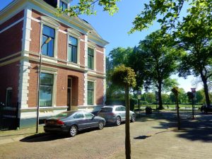
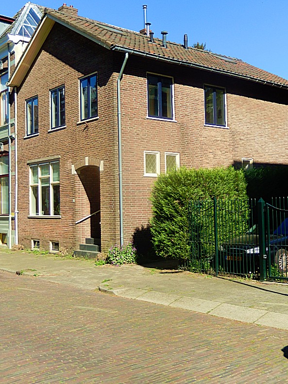
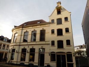
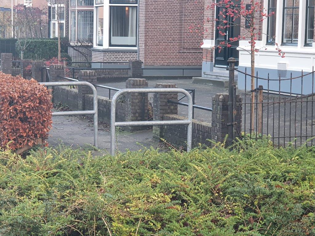
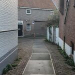
![]() After you reached the end of the Parkweg, go left on the sidewalk. Cross the Van Twickelostraat and cross the Graaf van Burenstraat. Go left into the Graaf van Burenstraat for a few metres until you see this house and go right on the narrow alley.
After you reached the end of the Parkweg, go left on the sidewalk. Cross the Van Twickelostraat and cross the Graaf van Burenstraat. Go left into the Graaf van Burenstraat for a few metres until you see this house and go right on the narrow alley.
Mill path/Molenpad
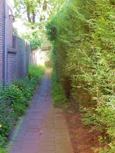
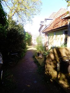
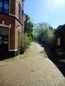
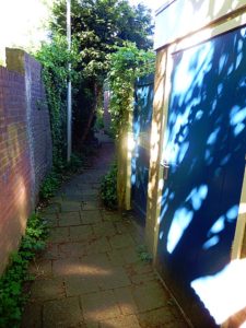 The Molenpad is a narrow alley way of a considerable length, going at first between the houses of the Graaf van Burenstraat and the much older houses on the mediaeval Molenstraat. It then crosses the Molenstraat and runs further between the backside of houses of the Molenstraat and the Papenstraat until it ends at the Lindenstraat.
![]()
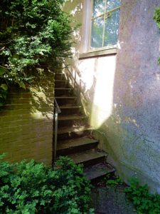 Follow the Molenpad until you reach a T-crossing with an underpass to the right leading to the crossing of the Molenstraat and a stone stair to the left leading up. Go left and climb the stairs to the top. Proceed to Route and Map part 2.
Route and Map Part 2
Part/Map 2:Stenen wal–> Noordenbergschild–> Graaf van Burenstraat–> Gibsonstraat–> Binnensingel–>Badhuisstraat tot aan Smedenstraat–>Terug naar Binnensingel–> Brinkpoortstraat–> Brinkpoortplein–>Brinkpoortstraat–>Gedempte Gracht–> Pikeursbaan–> Geert Grootestraat–> Walstraat–> Damstraat–> Pikeursbaan–> Houtmarkt–>Emmaplain–> Kazernestraat–>Emmaplein–>Emmastraat–> Bergschild–> Stairs–>BergKerkplein–> Roggestraat –> Part/Map 3
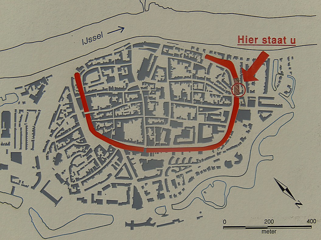
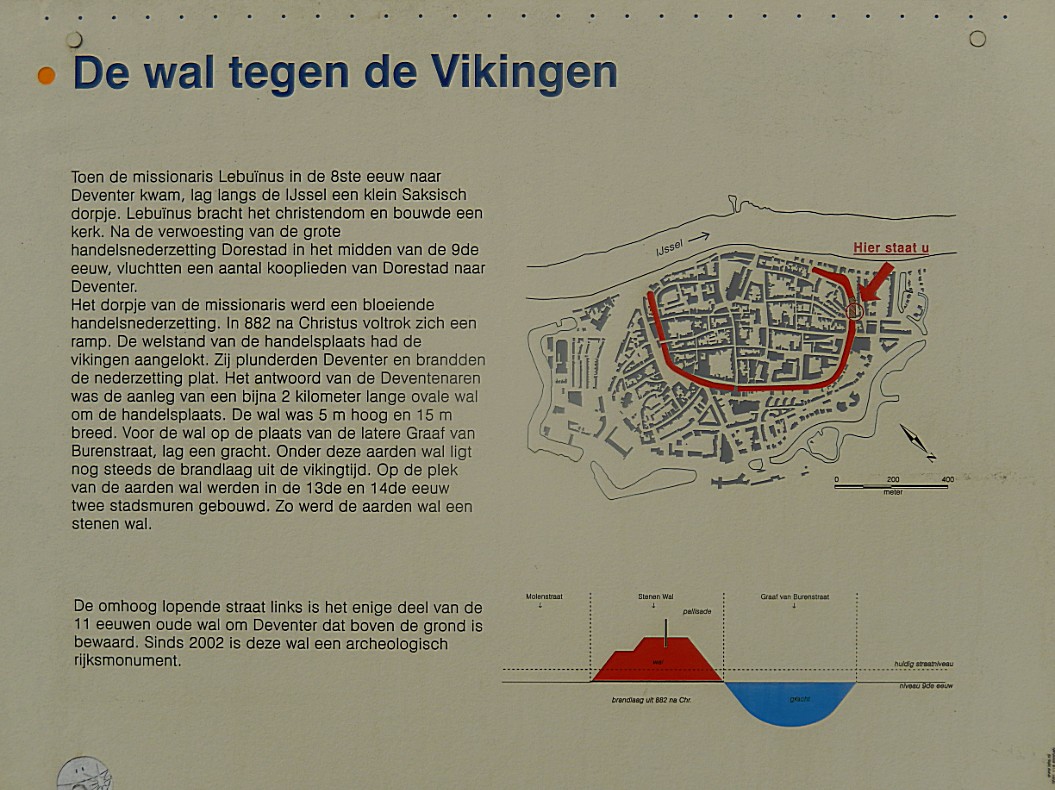
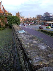
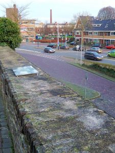
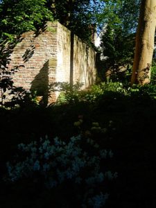
You’ve now climbed the Stenen Wal (stone wall) build in the Middle Ages as a defense system against the invading Vikings and Norsemen from Scandinavia who sailed their Drakkar Ships north over the River IJssel.
![]() Proceed and descend to the end of the street.
Proceed and descend to the end of the street.
Stone Wall/Stenen Wal
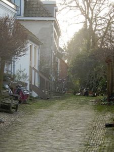
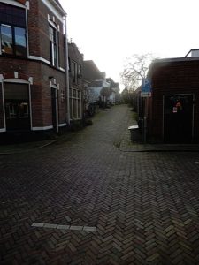 When Vikings in their Drakkar Ships had plundered and burnt Deventer a few times, the inhabitants started building a defensive earth wall with a wooden pallisade on top. Later this wall was converted into the first stone city wall defense, surrounding the historic mediaeval town. The wall skirted the current Molenstraat, Noordenbergschild and Smedenstraat, Korte Bisschopstraat, the inner curve of the Brink and finally the first part of the Polstraat from where it proceeded towards the River IJssel. The riverbank in those days was further land inward than it is nowadays.
This is the only remaining part of the wall in the entire city. The defensive wall was one of the reasons why the Bisshop of Utrecht chose Deventer as his temporary seat. This would be very beneficial to the city’s economic development.
At the end of the street on the left is a large information tableau.
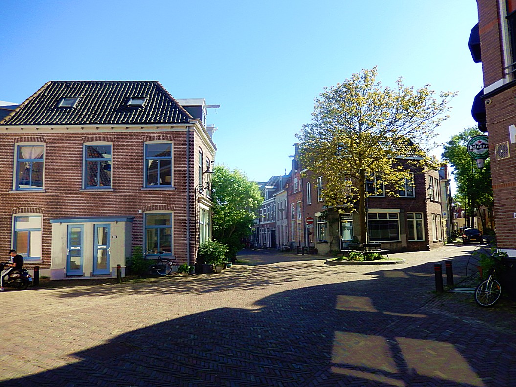
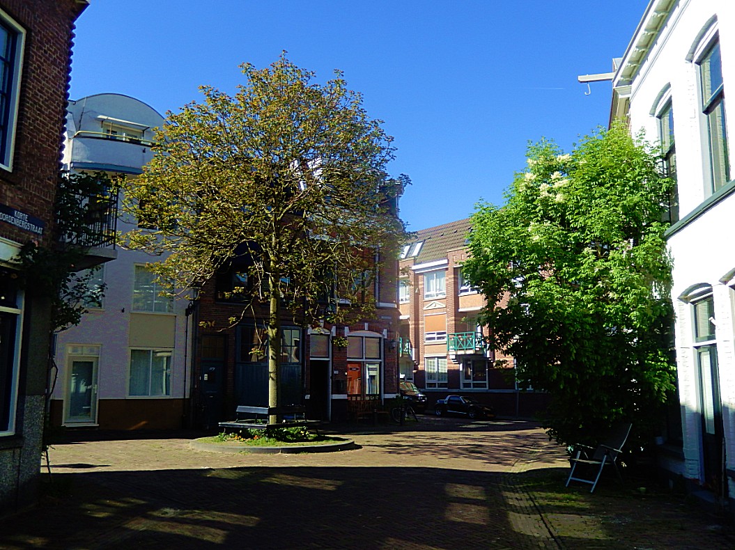
![]() At the end of the Stenenwal, go right for a few metres into the medieaval town center within the old city wall, until you reach a small area with a tree surrounded by a bench in the center. This is actually the dune top. Lookaround at all the awesome monuments around you. From here you can look deep into Molenstraat (right), Korte Noordenbergstraat (right in front), Papenstraat/Bruijnsteeg (left in front) and Noordenbergschild (left). Now turn and go to the end of the Stenenwal. Turn your back to the Stenenwal.
At the end of the Stenenwal, go right for a few metres into the medieaval town center within the old city wall, until you reach a small area with a tree surrounded by a bench in the center. This is actually the dune top. Lookaround at all the awesome monuments around you. From here you can look deep into Molenstraat (right), Korte Noordenbergstraat (right in front), Papenstraat/Bruijnsteeg (left in front) and Noordenbergschild (left). Now turn and go to the end of the Stenenwal. Turn your back to the Stenenwal.
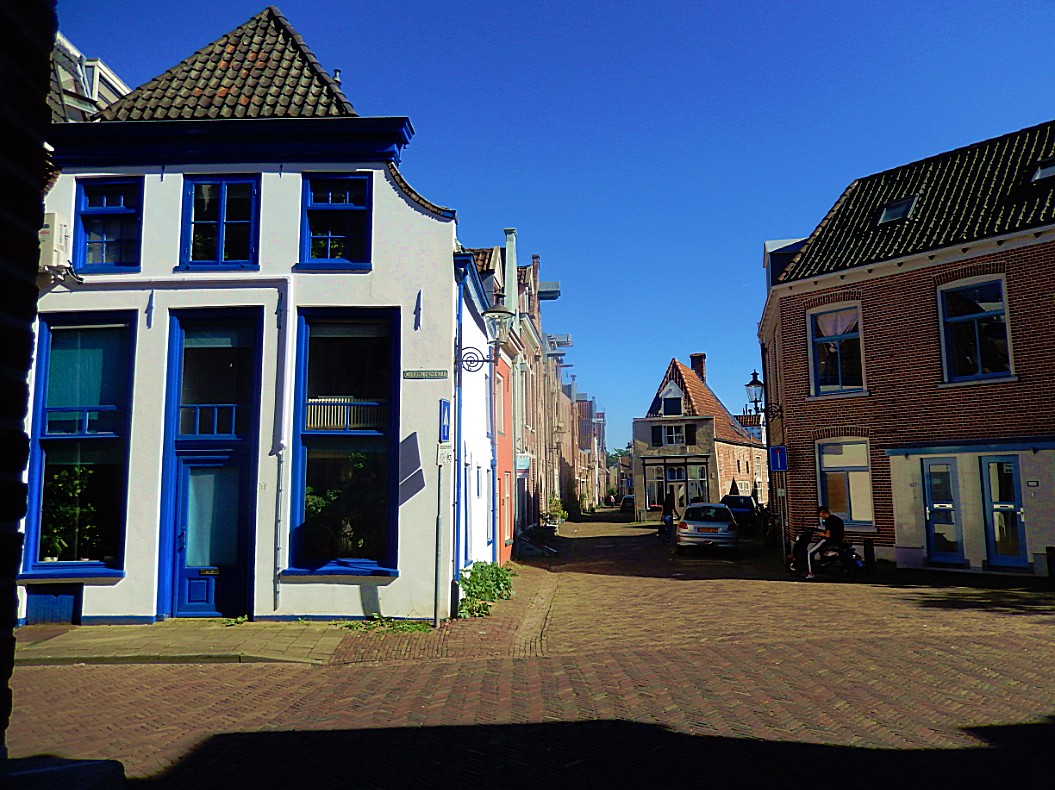
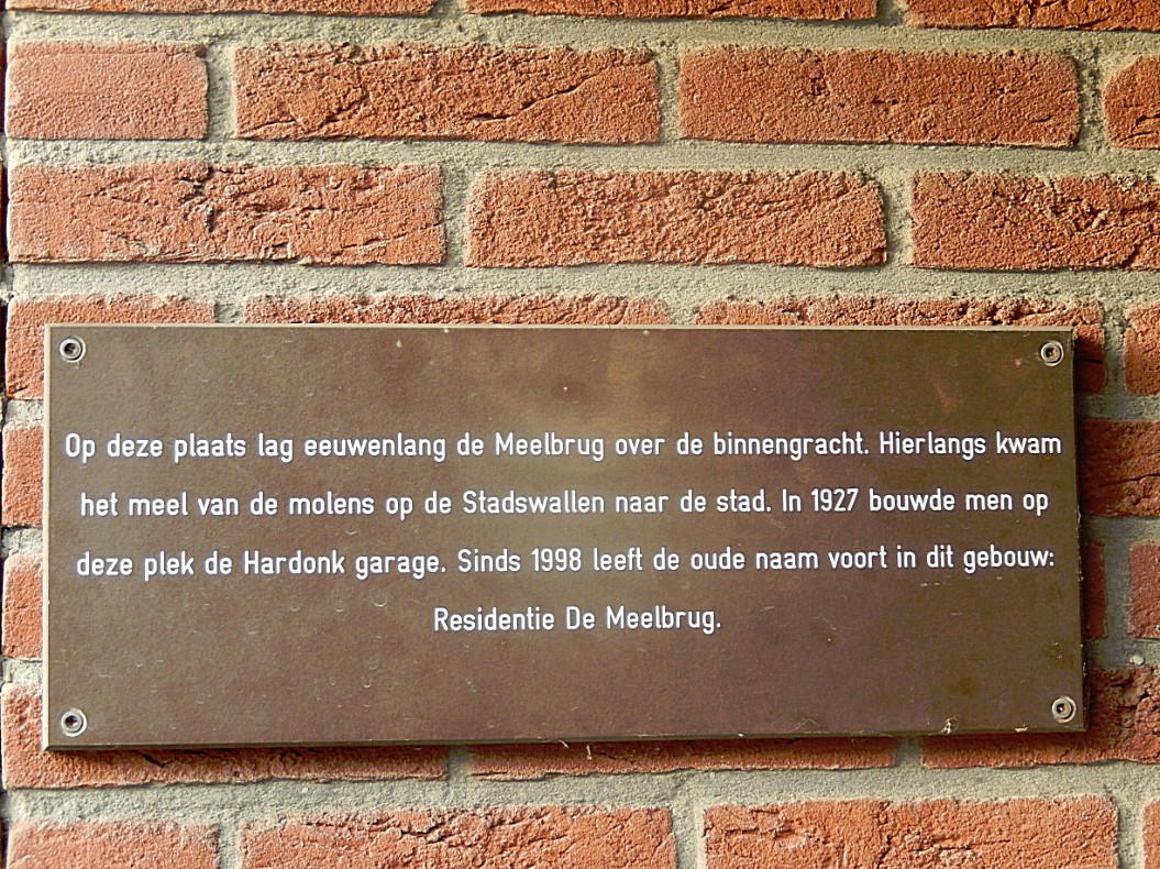
At the end of the Stenenwal, cross the street (Noordenbergschild) and turn left on the sidewalk. Look out for a little gate into the building to your right. On the left wall of this gate is a small plaque commemorating the Meelbrug.
The Meelbrug
So we already learned that the city of Deventer was surrounded by a Stone Wall, then an Inner moat, then an open area, then again a Stone wall, a small open area and again a Stone Wall and last an Outer Moat. We just left the 1st and oldest Stone Wall behind us and thus have now reached the area of the inner moat and the Meelbrug (Flour Bridge) crossed the inner moat at this spot.
In the same period as the Meelbrug, there was also a Corn Windmill (De drie gebroeders) just outside the Stenen Wal right on the Graaf van Buren Bastion, which was owned by the Schutte family firm. This firm had a spice cake bakery shop on the Brink, which was bought by the J.B. Bussink firm and it was this last firm that created the now famous Deventer spice cake. The flour created at this Wind mill was transported into town, over the Meelbrug and through the Stone City Wall.
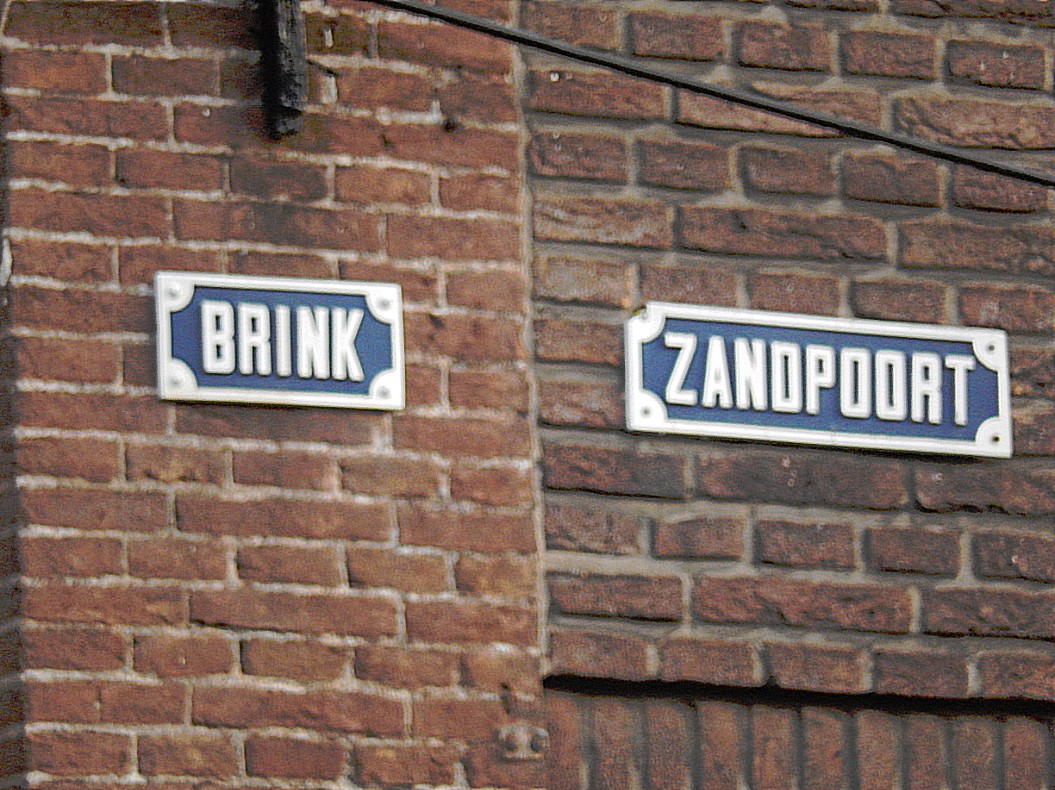
A lot of squares, markets, city gates and streets of Deventer are named after goods traded think of names like Houtmarkt (Wood Market), Stromarkt (Straw Market), Beestenmarkt (Animal/Livestock Market), Vispoort (Fish Gate), Zandpoort (Sand Gate)Keep following the sidewalk and turn right at the next street.
![]()
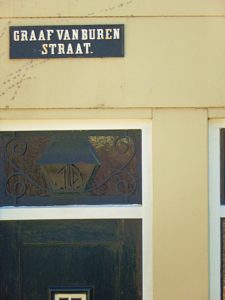 Keep following the sidewalk and turn right into the 1st street. You’re now in the Graaf van Burenstraat. Follow tis street to the end and cross the T.G. Gibsonstraat. Then turn left on the side walk. Don’t walk to quickly now. Look down at the street pavement until you notice a circular pattern in the street stones.
Noordenberg Turret/Tower
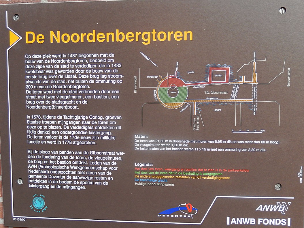
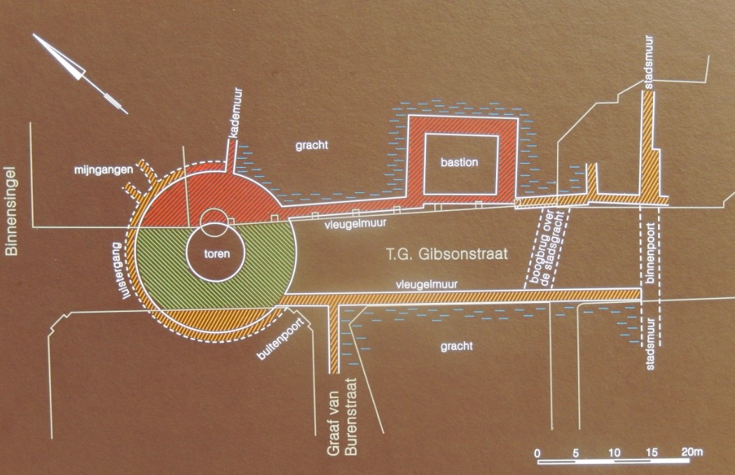
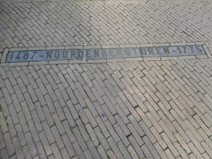 We are still following the cities defenses and now we reached the Noordenbergtoren. This tower was build on the outside of the inner moat, and was connected to the town by a street with wing walls, a bastion, a bridge over the inner moat and the Noordenberg(binnen)poort ((Inner) North Hill Gate), (the north hill referring to the North dune). A plaque on the wall right explains more about the tower. I hope it gets clearer to you how well defended this town actually was.
In the area indicating the tower are two windows where you can look inside the building to your left, which is an underground parking space, and see the actual foundations of the tower!!!
These visible foundations are from the red colored part in the map below…
![]()
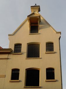 Keep following the sidewalk and turn right into the 1st street. You’re now in the Binnensingel and left the Noordenbergkwartier. Follow this street which boasts some nice monuments, until it temporarily merges with the Singel.
Binnensingel
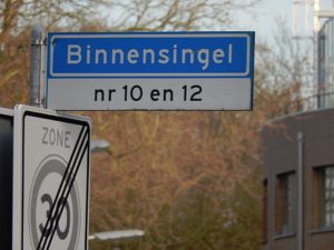 The Binnensingel is the road skirting the outside of the inner moat.
![]() The Binnensingel follows the outside of the inner moat and after merging a short distance with the Singel, it continuous and turns in to the town, distancing itself from the outer moat. Follow the pavement and enter through a metal biker block gate the part of the Binnensingel that distances itself from the outer moat.
The Binnensingel follows the outside of the inner moat and after merging a short distance with the Singel, it continuous and turns in to the town, distancing itself from the outer moat. Follow the pavement and enter through a metal biker block gate the part of the Binnensingel that distances itself from the outer moat.
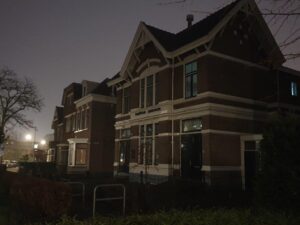
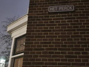
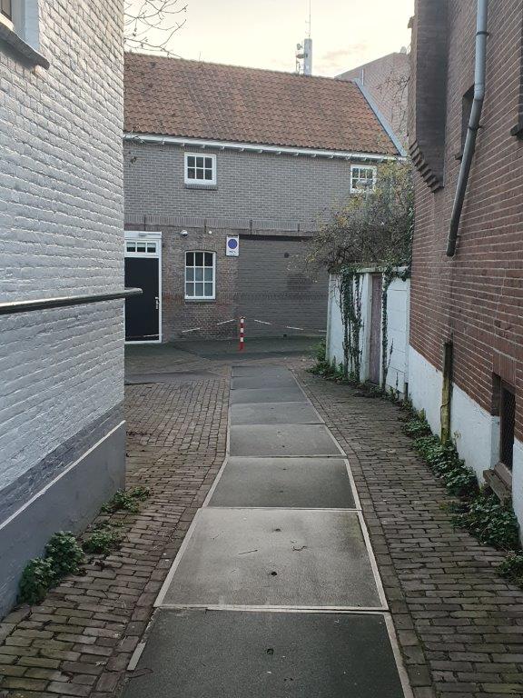
![]() Go right into the very first small alley which bears the name: Het Perck and follow this to a parking lot. The street to the parking lot goes slightly down.
Go right into the very first small alley which bears the name: Het Perck and follow this to a parking lot. The street to the parking lot goes slightly down.
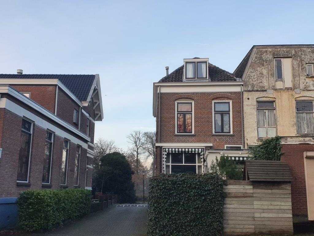
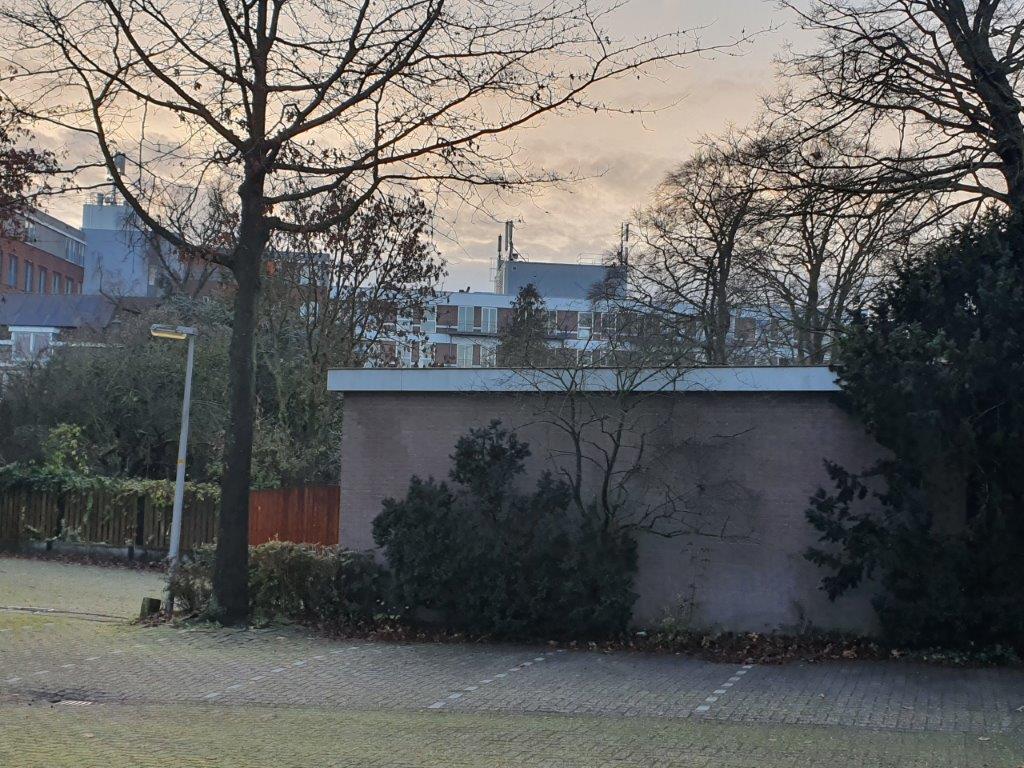
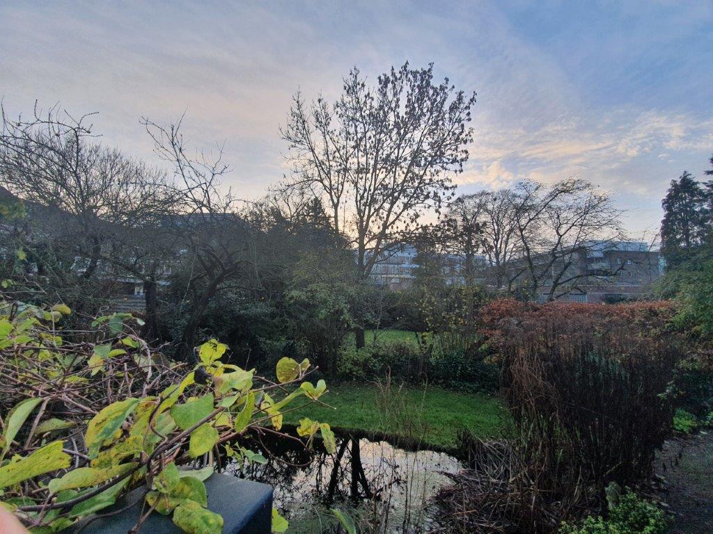
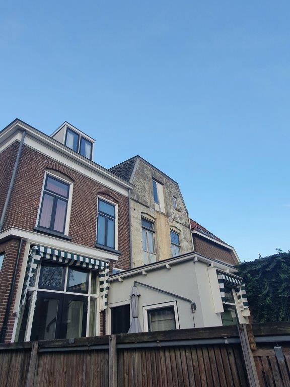
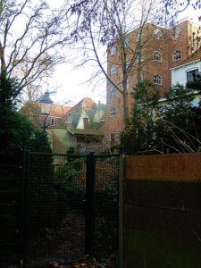
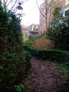
Now you are at the actual bottom of where once the inner moat was situated and to the right are some private gardens behind a fence, to the left the road goes on following the location of the old inner moat. Stroll a bit around but return than to the position where you entered Het Perck.
Some impressions of the inner moat area:
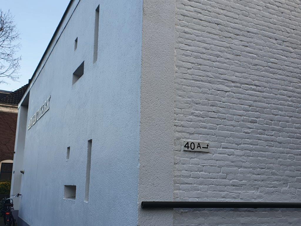
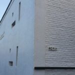
![]() If you follow Het Perck to its end, you can turn right and you’ll get onto the Binnensingel agai at Binnensingel number 40A, just before the white Apostolic Church building.
If you follow Het Perck to its end, you can turn right and you’ll get onto the Binnensingel agai at Binnensingel number 40A, just before the white Apostolic Church building.
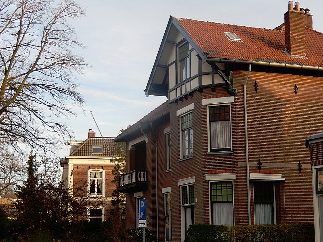
![]() After leaving The Perck (at its entrance or at number 40A, turn right and follow the Binnensingel.
After leaving The Perck (at its entrance or at number 40A, turn right and follow the Binnensingel.
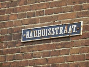
Keep following the Binnensingel until you’ve reached the Badhuisstraat (Bath house street) on the right. Turn right into the Badhuisstraat until its end.
Badhuisstraat/Smedenstraat
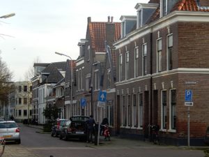
The Badhuisstraat actually crosses the inner moat (of which you already walked a section on Het Perck) into the town towards the Smedenstraat (Smith street). The Smedenstraat was the mediaeval street where most smithys were located. Here horse owners came to get new horseshoes for their horses. These horses were used by the cavalary like the pikeurs, soldiers using horses and carriages, but also by traders and farmers visiting the town. After several huge fires had destroyed large parts of the town, then still largely build of wooden houses, the blacksmiths were ordered to move to the edge of town into this street. Hence its name. The city counsel then prohibited the use of wood as building material and ordered the city to be rebuild of stone. This meant that fires didn’t have that much of a destructive force anymore and lots of these old stone buildings in Deventer survive even today.
The city fire of 1334 is one of the largest city fires that hit the Dutch city of Deventer, with that of 1235.
On Saturday July 21 in the year 1334, two thirds of all houses burned to the ground in the city of Deventer. The fire was very fierce and quickly took hold. No house was spared around Assenstraat, Polstraat, Bisschopstraten and Waterstraat. Large stone buildings such as the Lebuïnuskerk, the Mariakerk and the Heilige Geest Gasthuis aan de Brink were also severely damaged.
This city fire accelerated the petrification process of the city center of Deventer. The city council decided to grant subsidies on stone roofing (tiles and slates) to replace reed. In the period of the rebuilding of the Deventer city center, a subsidy was paid in one year for 624,000 capstones. The allowance was about a pound or twenty shillings per thousand stones. So the amount paid in that year was £ 624.
![]() Return to the Binnensingel and go right. Now follow the Binnensingel until it splits, the left part being the Binnensingel and the right part the Sijzenbaan. Choose the right part Sijzenbaan
Return to the Binnensingel and go right. Now follow the Binnensingel until it splits, the left part being the Binnensingel and the right part the Sijzenbaan. Choose the right part Sijzenbaan
![]() Go left and walk through a gateway underneath/through a building. The road descends quite a bit.
Go left and walk through a gateway underneath/through a building. The road descends quite a bit.
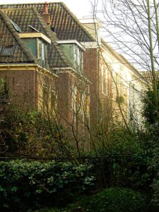
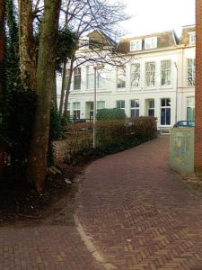
Again you’ve entered the Inner Moat. Stroll around and see the buildings on both sides of the moat on a higher level than where you are now. The buildings at the Sijzenbaan side are build upon the slope ascending to the embankment (wal in Dutch). When ready, return to the fork of the Binnensingel and the Sijzenbaan.
Some impressions:
![]() Return to the Binnensingel and go right. Now follow the Binnensingel which changes into the Brinkpoortstraat (Brink Gate Street) and later Brinkpoortplein and then Brinkpoortstraat again, until it reaches the Keizerstraat.
Return to the Binnensingel and go right. Now follow the Binnensingel which changes into the Brinkpoortstraat (Brink Gate Street) and later Brinkpoortplein and then Brinkpoortstraat again, until it reaches the Keizerstraat.
Binnensingel
Brinkpoortstraat/Brinkpoortplein/Brinkpoort
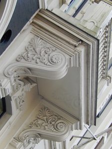
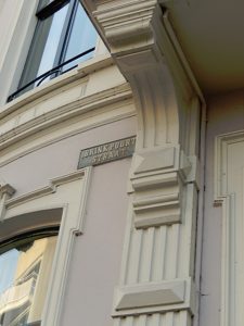 Where the Brinkpoortstraat reaches the Keizerstraat, used to be the Brink Gate (Brinkpoort). This gate and the Keizerstraat (Emperor street) leads to the large market square named Brink (which you’ll visit later). The Brink gate was build in 1544. The gate was part of the Bastion “De Keizer” (Emperors Bastion) which was named after emperor Charles V because of his victory in the Battles of Gelre. In 1549 prins Philips II of Spain was inaugurated while entering the town through the Brink gate. About 1868 the gate was demolished when part of the inner moat was drained. The Brinkpoortstraat, Brinkpoortplein, Keizerstraat and Residence De Keizer all remind us of this inauguration.
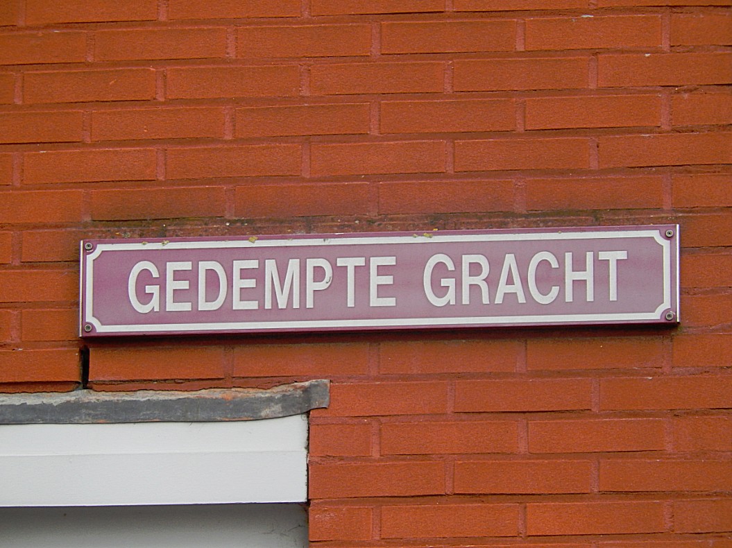
Cross the Keizerstraat and go left into a short street between high buildings. This street is called the Gedempte Gracht (drained moat).
Gedempte Gracht
This streetname reminds us that in this location the inner moat was partially drained. Later the complete moat got drained and nowadays there is no inner moat.
![]() Return to the Keizerstraat but now immediately turn left into the Pikeursbaan.
Return to the Keizerstraat but now immediately turn left into the Pikeursbaan.
Pikeursbaan
Left of the Pikeursbaan were no residential areas, but only military terrain. This terrain extends parallel to the Pikeursbaan and the Houtmarkt where you can still see the military barracks that are now a shopping centre named The Boreel (after the old barracks).
![]() Return cross the Pikeursbaan and follow thesidewalk to the next street ging right. This is the Geert Groote straat.
Return cross the Pikeursbaan and follow thesidewalk to the next street ging right. This is the Geert Groote straat.
Geert Grootestraat
Gerard Groote (October 1340 – 20 August 1384), otherwise Gerrit or Gerhard Groet, in Latin Gerardus Magnus, was a Dutch Roman Catholic deacon, who was a popular preacher and the founder of the Brethren of the Common Life. He was a key figure in the Devotio Moderna movement.
Later more about Geert Groote and his meaning for Deventer.
![]() After entering Geert Grootestraat, immediately turn left down a broad stair. Continue to the bottom.
After entering Geert Grootestraat, immediately turn left down a broad stair. Continue to the bottom.
The Inner Moat/De Binnengracht
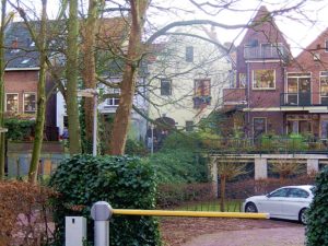 Now you’re standing on the bottom of what once was the inner moat of the city of Deventer and this is probably the only location in town where you can really see the inner moat in the elevation levels.
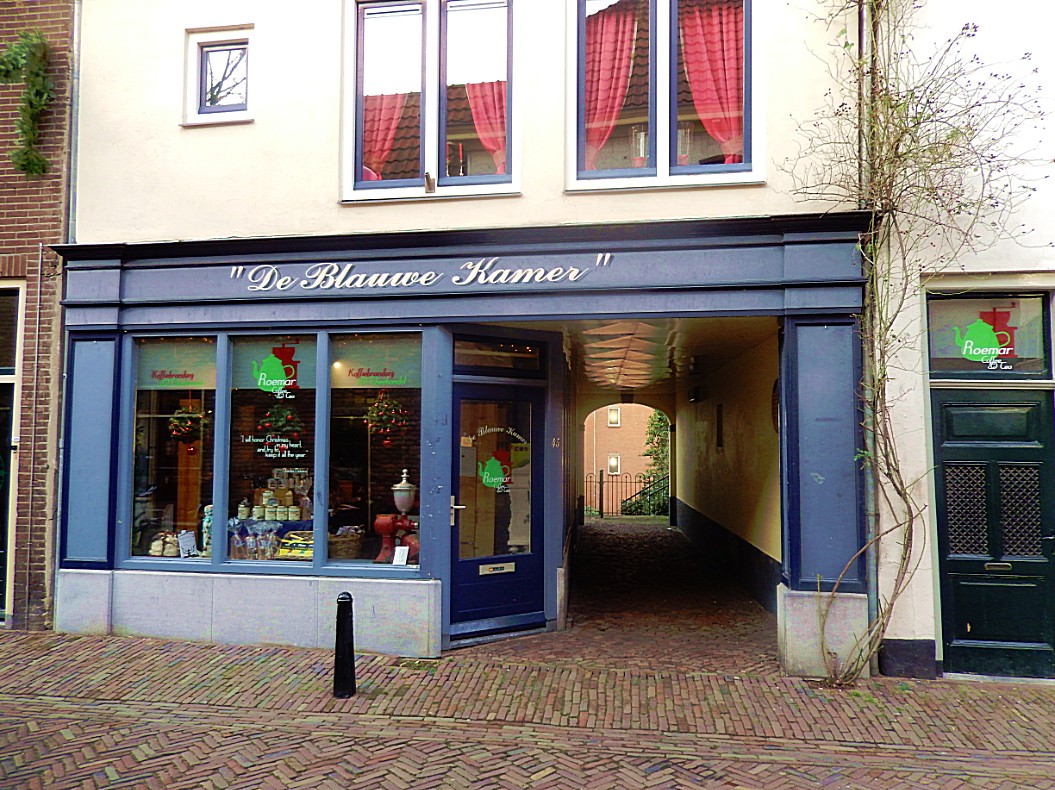
Climb the other bank of the moat (stairs) and walk through a gate in the buildings to the end of the path and stop before “De Blauwe Kamer“.
Website: https://www.dille-kamille.nl/nl/content/118/deventer/
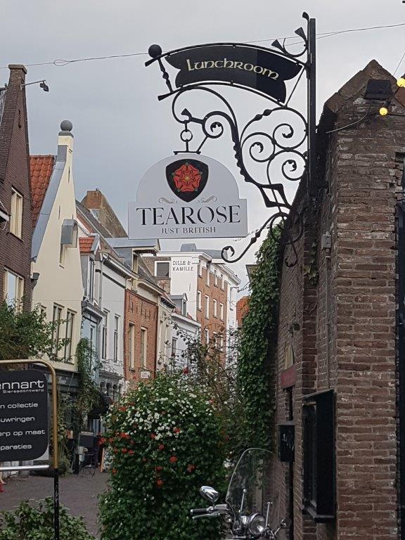
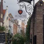
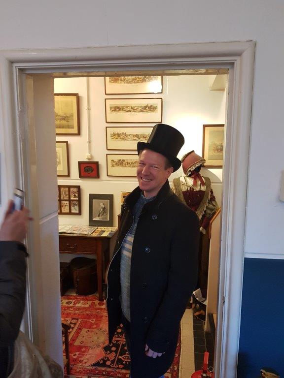
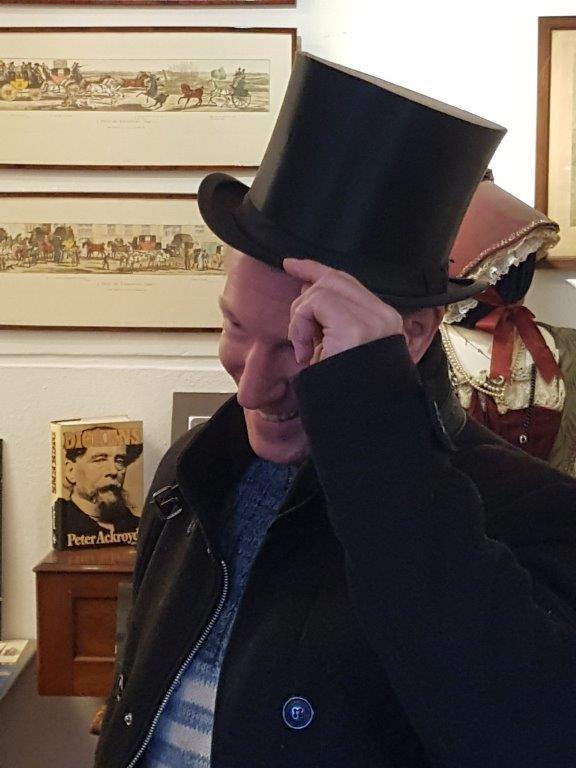
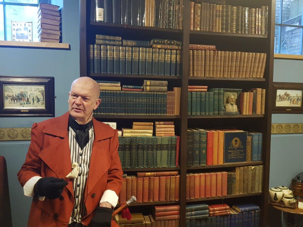
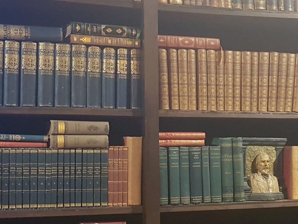
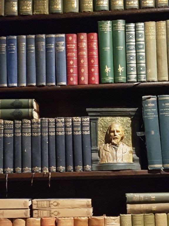
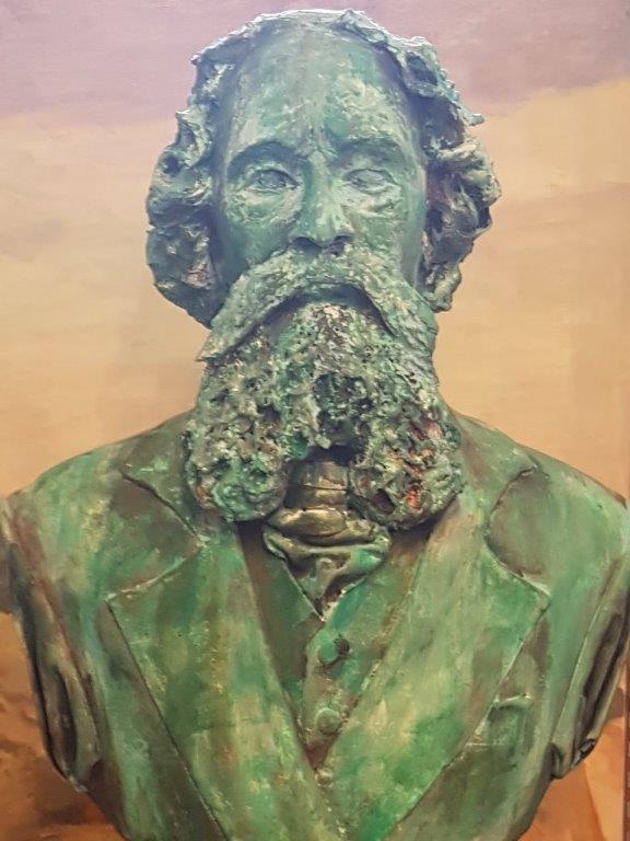
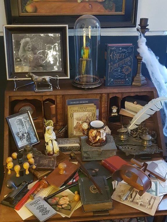
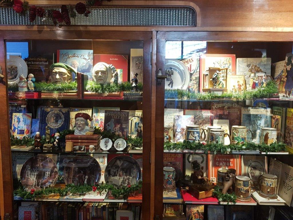
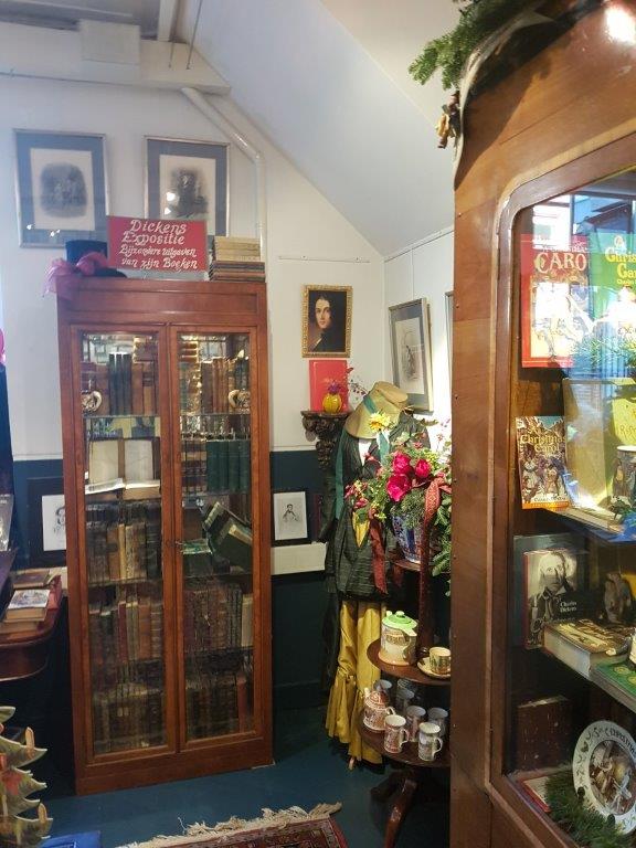
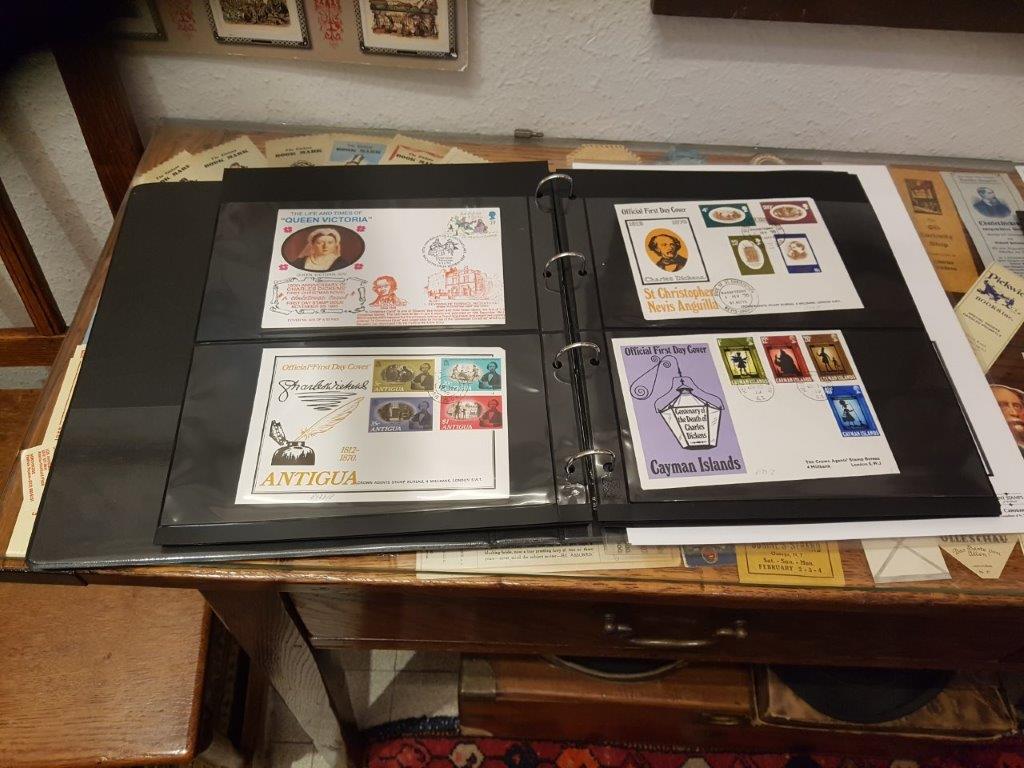
Make a little, very worthwhile detour to the right, until you see a sign on your left at a large iron gate. The sign says: The Wallstraat Tearose. Go left through the gate and follow the narrow alley, passing the Dickens Cabinet (a tiny museum dedicated to the life of Charles Dickens (every year a large Dickens Festival is organized in this area of town. More about that a bit further down).
The Wallstreet Tearose
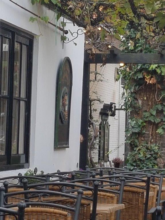
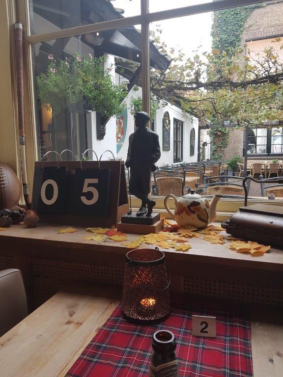
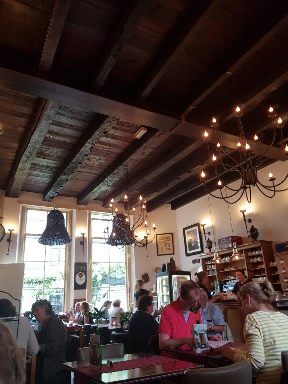
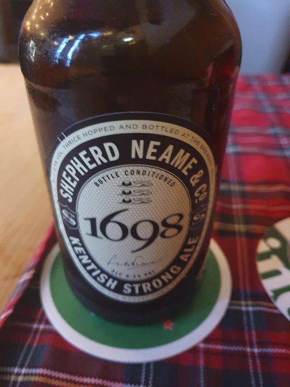
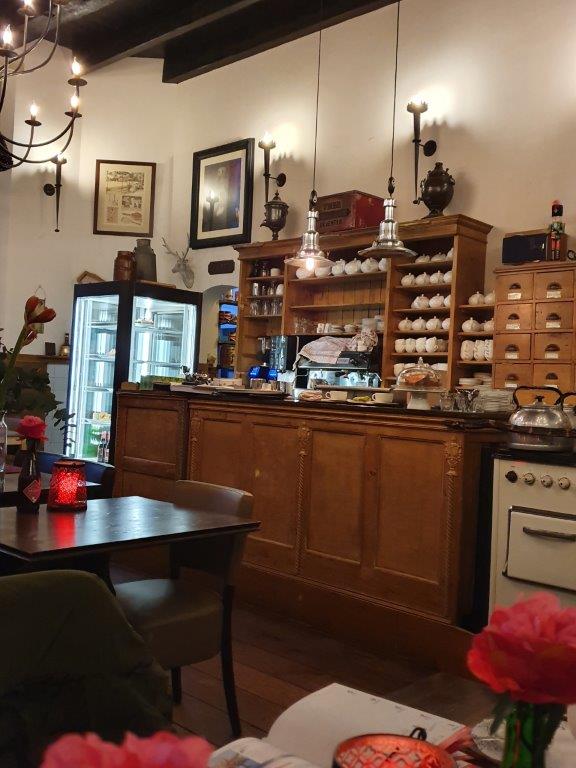
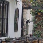
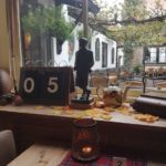
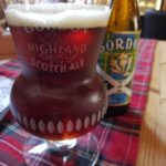
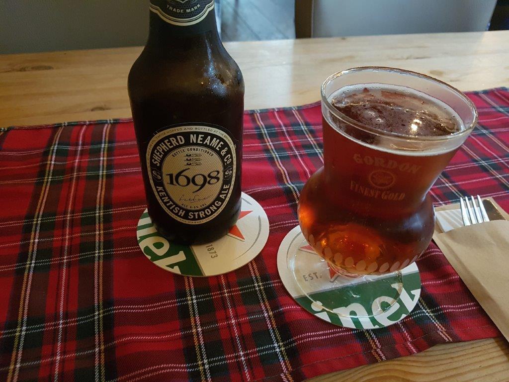
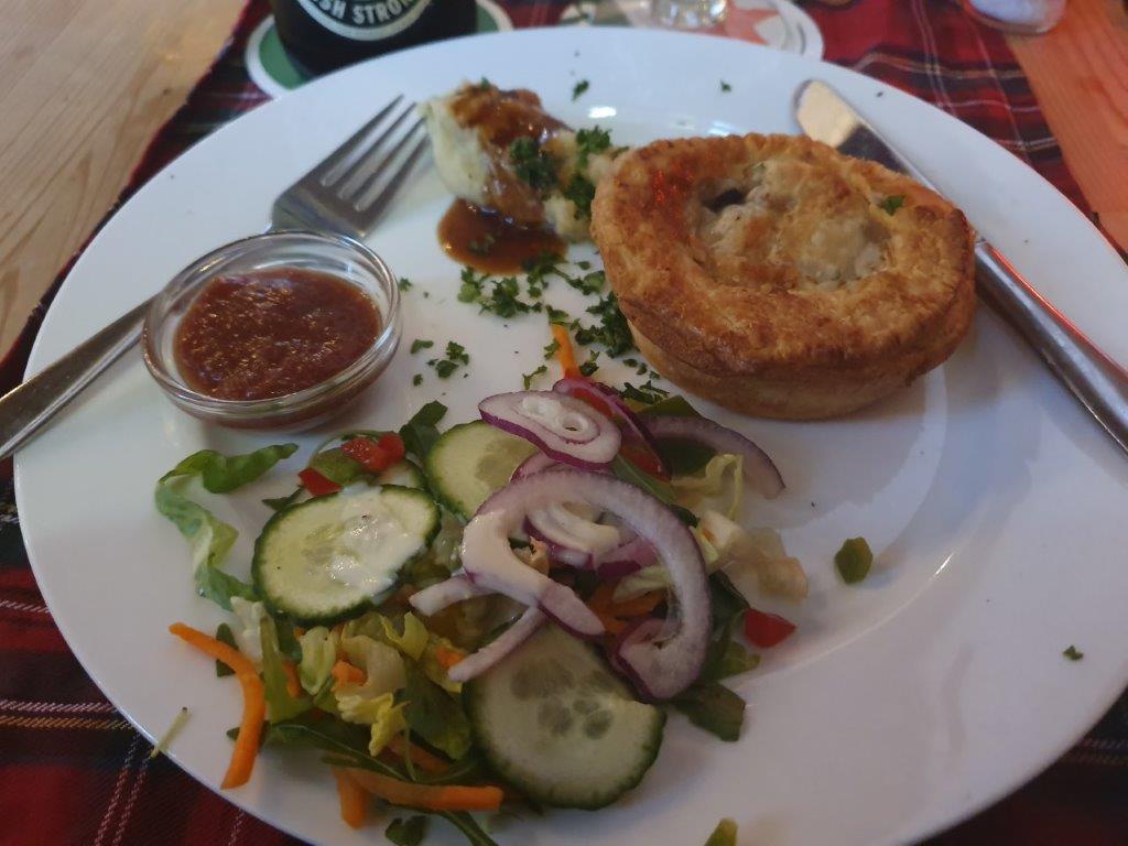
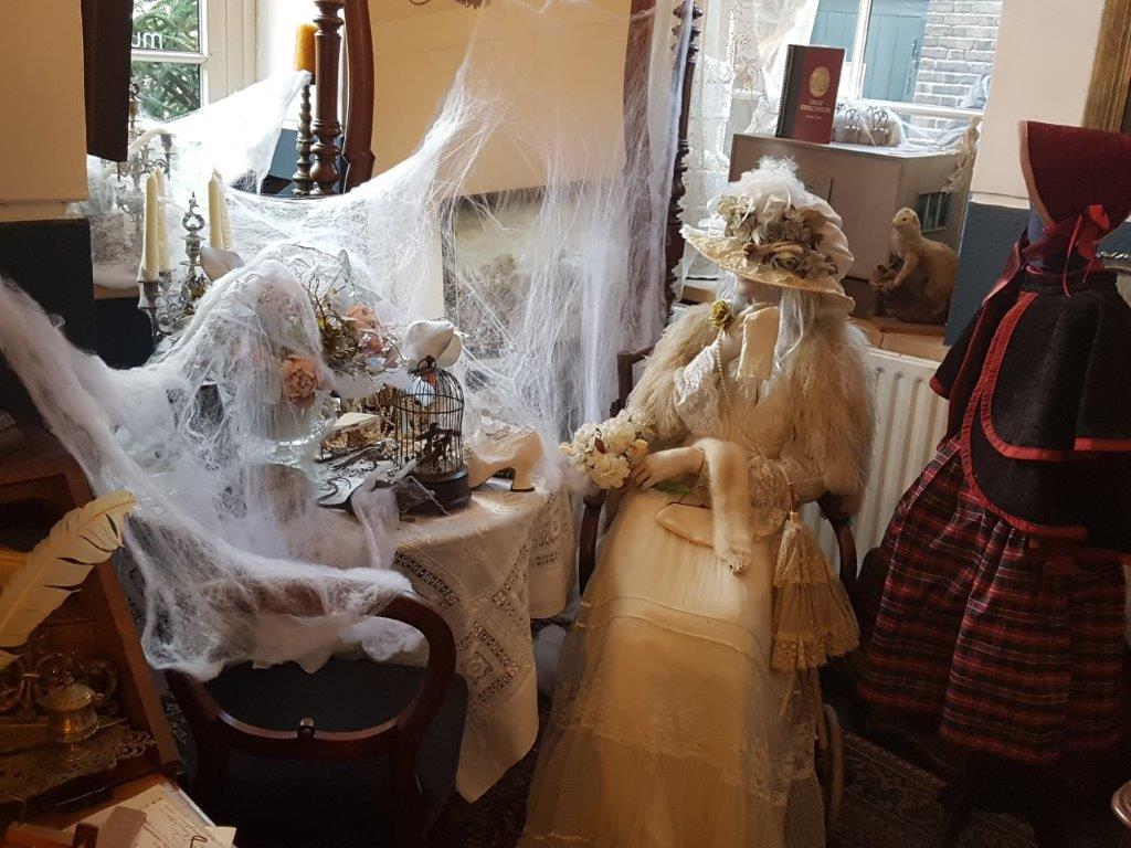
After the Dickens Cabinet, you’ll reach the terrace (in Summer) of The Wallstreet Tearose, An English/Scottish tearoom, suitable for drinks (the list of teas from all over the world is very impressive, high teas (icluding scones and small pstries), breakfast, lunch and diner. The menu boasts Haggis, Ploughman’s platter, Guinness Steak Pie, etcetera. They also heve a collection of English and Scottish beers.
For the children and the young at heart, there is a book corner with children’s books containing classics like: Paddington Bear.
Another reason to go though is the awesome English/Scottish interior…
Website: Tearose
Also worth a visit is the Dickens Cabinet…
Dickens Cabinet
Website: Dickens Cabinet
![]() After leaving the iron gate, turn right into the Walstraat (Wall street). The name of this pretty street full of small cosy shops, means embankment street. It was the street that bordered the inner moat.
After leaving the iron gate, turn right into the Walstraat (Wall street). The name of this pretty street full of small cosy shops, means embankment street. It was the street that bordered the inner moat.
Walstraat
The Walstraat is a street in the Dutch city of Deventer. It followed the northeast part of the city wall and the city wall in the old days. The street starts at the Bergkerkplein, at the foot of the Bergkerk, and runs up to the Keizerstraat. Side streets that end up are Damstraat and Golstraat. The street used to link the Brinkpoort with the Bergpoort. There are many restored old buildings in the street.
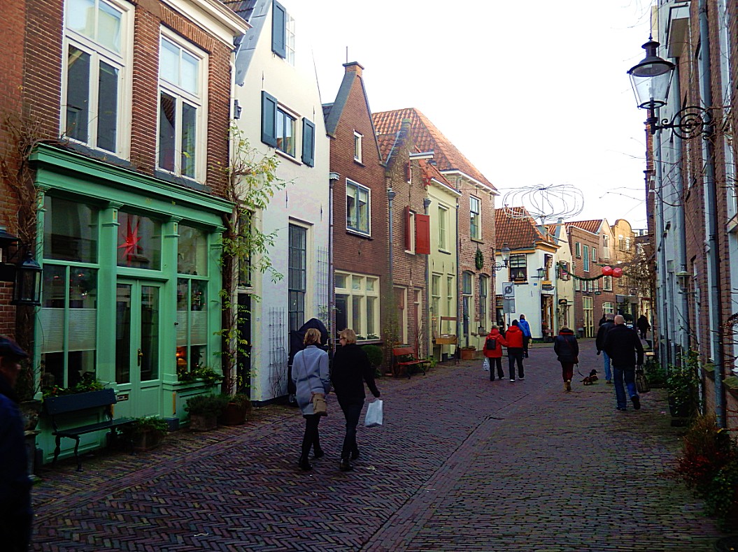
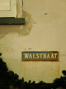
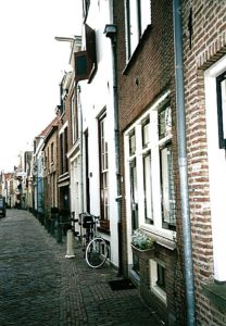 The Walstraat was heavily impoverished in the sixties. Nowadays there are many small stores in the higher market segment. The street is part of the completely restored historic Bergkwartier. This is where the Deventer Dickens Festival is held annually in December. Hundreds of residents and others can be seen on the streets in Victorian clothing. In that party weekend, more than 100,000 people visit the Walstraat. It is also the most important pedestrian connection between the center of Deventer and the shopping area on the grounds of the former Boreel barracks.
Website: https://dickensfestijn.nl/
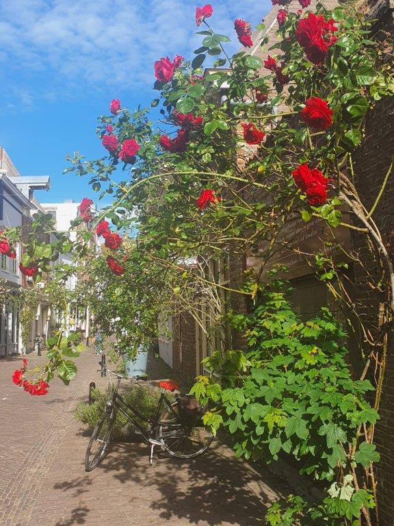
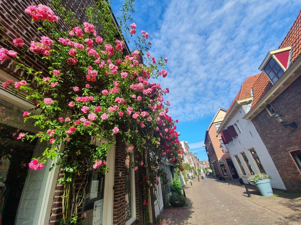
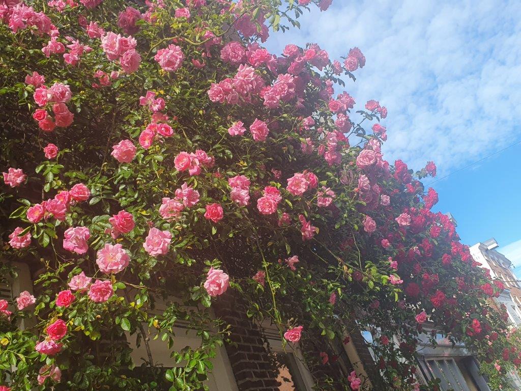
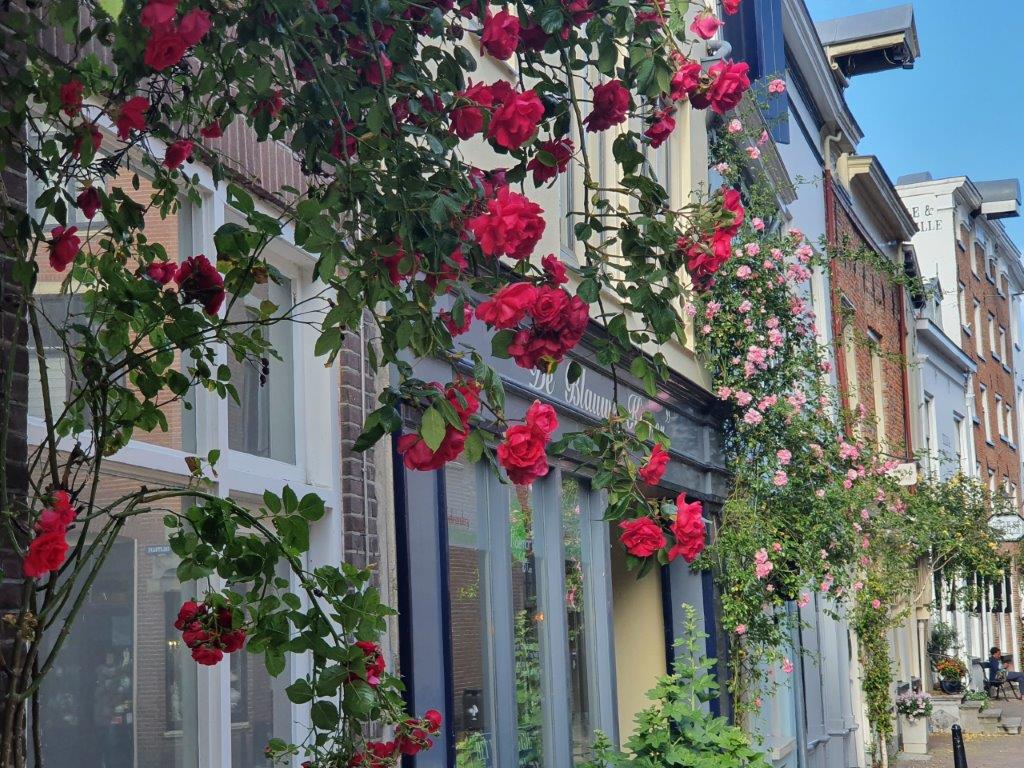
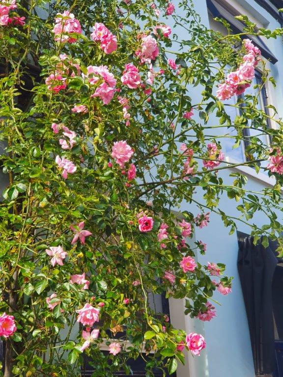
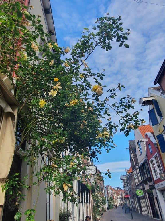
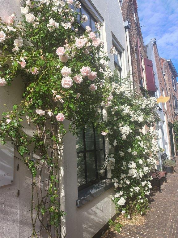
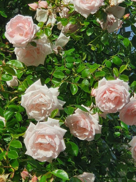
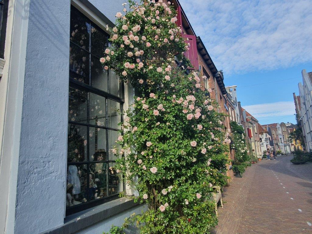
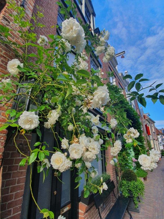
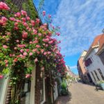
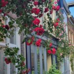
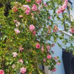
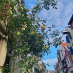
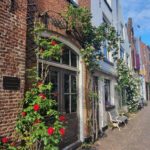
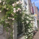
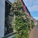
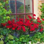
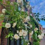
In Spring the Walstraat is very much worth a visit too. The roses are growing upwards against the walls of the ancient merchant houses and when they are in full bloom, the street is just picture perfect…
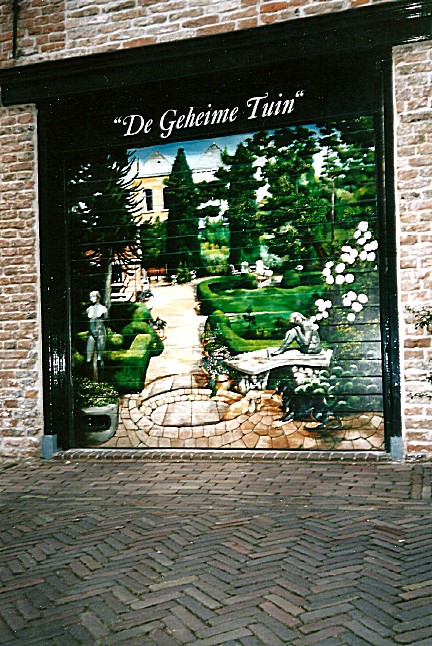
Walking through the Walstraat, you’ll notice left and right several beautiful mostly, but not exclusively, Charles Dickens related paintings on garage or electricity cabin doors…
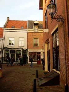
![]() Follow the Walstreet until you pass the Gollstraat to the right. A few metres further to the left is the shop named “Dille en Kamille”. Enter the shop.
Follow the Walstreet until you pass the Gollstraat to the right. A few metres further to the left is the shop named “Dille en Kamille”. Enter the shop.
Dille en Kamille
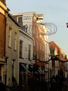
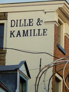 Dille en Kamille is a shop selling all kind of sustainable Household items. In the back of the shop is a conservatory where you have another view on the ineer moat. Enjoy the shop and then leave as you came.
Website: https://www.dille-kamille.nl/nl/content/118/deventer/
![]() Leave Dille and Kamille and turn left, to follow Walstreet. Follow the road until you reach Damstraat (Dam Street) to the left. Turn left into Damstraat. and follow it until the end.
Leave Dille and Kamille and turn left, to follow Walstreet. Follow the road until you reach Damstraat (Dam Street) to the left. Turn left into Damstraat. and follow it until the end.
Damstraat
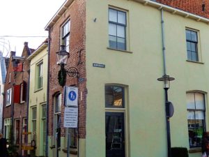 Damstraat is named after a Dam construction in the inner moat which once was located in this spot. The billart cafe in de Walstraat is named after that Dam too.
Leave Damstraat and turn right. You’re on the Pikeursbaan again. Follow this street until it changes into the Houtmarkt.
Houtmarkt
The Houtmarkt (wood market) was the location where wood coming from trade ships in the old harbour (which is drained also), got piled before it was transported into town through the Bergpoort.
![]() Keep following the Houtmarkt until you reach the Emmaplein (roundabout). Go left for a few metres into the Kazernestraat (Barrack Street) until to your left you’ll reach the Boreelplein. To your right you’ll see a street on the other side of the Kazernestraat. This is The Bergpoortstraat. The Outer Bergpoort was approximarely located at this spot. There is also an Inner Bergpoort which was the gate into town located next to the old school building on the Houtmarkt at the entrance of the Bergkerkplein. If you’d walk on for a little bit, you’d reach the outer moat again. Do that, enjoy some views and turn or turn around now and enjoy the view while walking back towards the Emmaplein.
Keep following the Houtmarkt until you reach the Emmaplein (roundabout). Go left for a few metres into the Kazernestraat (Barrack Street) until to your left you’ll reach the Boreelplein. To your right you’ll see a street on the other side of the Kazernestraat. This is The Bergpoortstraat. The Outer Bergpoort was approximarely located at this spot. There is also an Inner Bergpoort which was the gate into town located next to the old school building on the Houtmarkt at the entrance of the Bergkerkplein. If you’d walk on for a little bit, you’d reach the outer moat again. Do that, enjoy some views and turn or turn around now and enjoy the view while walking back towards the Emmaplein.
Kazernestraat/City Walls
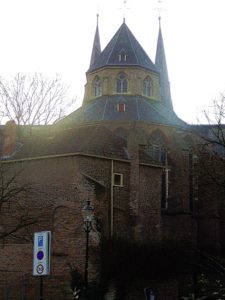 This spot, looking from the Kazernestraat towards the largest piece of remaining City Walls and the Bergkerk on top, is quite a spectacular view. The walls are build around the 2nd and highest of the sand dunes on which early Deventer was build. The names Bergkwartier, Bergkerk, Bergstraat, Bergpoortstraat, Bergsingel en Bergschild (but also Noordenbergkwartier, (Korte) Noordenbergstraat, Noordenbergsingel en Noordenbergschild) all contain the word Berg. In English Berg is mountain, but the dutch used the word very creatively to deschribe not only mountains, but also larger hills (Vaalserberg, Holterberg, Grebbeberg) and in this case even sand dunes. The most creative use of the word Berg translated into English as mountain, was thought of by a Dutch pop band, who named their song: “In the Dutch mountains” (By: The Nits). The Netherlands have no mountains, so what it actually means is “Between the multiple storied buildings of a Dutch city”. Great fun 🙂
In the Dutch mountains
I was born in the valley of bricks
Where the river runs high above the rooftops
I was waiting for the cars coming home late at night
From the Dutch mountains
I was standing in the valley of rock
Up to my belly in an early fog
I was looking for the road to a green painted house
In the Dutch mountains
In the Dutch mountains
Mountains
I met a woman in the valley of stone
She was painting roses on the walls of her home
And the moon is a coin with the head of the queen
Of the Dutch mountains
Mountains
I lost a button of my shirt today
It fell on the ground
And it was rolling away
Like a trail leading me back
To the Dutch mountains
To the Dutch mountains
Mountains
I met a miller on the back of a cow
He was looking for the wind but he didn’t know how
I said: Follow the cloud that looks like a sheep
In the Dutch mountains
In the Dutch mountains
In the Dutch mountains
Mountains
Mountains
Buildings
Songwriters: Hendrik Hofstede / R. Kloet / Robert Stips
Songteksten voor In the Dutch mountains © Sony/ATV Music Publishing LLC
Binnen-Bergpoort
The Bergpoort was originally a city gate of the Dutch city of Deventer. Since 1885, the 17th-century outer gate is in the garden of the Rijksmuseum in Amsterdam.
The (old) Binnen-Bergpoort (Binnen is means Inner) came from the Middle Ages and was probably built in the first half of the 14th century. In 1619 a new outer gate was added. This new Buiten-Bergpoort was the last built of the three outer gates that formed part of a new defense belt that was built between 1597 and 1634. The (Buiten-) Bergpoort was about halfway the current Kazernestraat. The sculpture on this gate was designed in 1619 by the famous Amsterdam architect Hendrick de Keyser. The sculptures are a rare example of the style that is called the Dutch Renaissance. In 1813, just before the siege of Deventer, the Bergpoort was bricked up by Napoleonic French troops and put into use as ammunition storage. The bricked-up gate would not be broken again until 1823.
The Bergpoort was demolished in 1880, when Deventer received permission from the government to demolish the fortifications. The gate was found to be too narrow for the increasing traffic. The government did want the natural stone blocks and carved parts. The Rijksmuseum in Amsterdam came into possession of the parts and applied them to a newly built gate. Nowadays it can still be seen in the garden of the Rijksmuseum, where he is back to back with the Herepoort from Groningen.
Several attempts have been made to get the Bergpoort back to Deventer again, but these have all failed. In 1990, a replica of the Bergpoort was placed on the Emmaplein. This was demolished again in 2009.
![]() Walk back to the Emmaplein and walk around lcounterclockwise. Pass the Houtmarkt on your right, then pass the Bergkerkplein on your right, pass the Bergschild on your right and the turn right into the Emmastraat and immediately after leaving the roundabout, turn right again and climb the stairs. Now your on the Bergschild and you have entered the famous historic Bergkwartier. Turn left and climb the Bergschild until the houses on your right suddenly retreat a short distance from the street. Turn right towards those retreated houses and look right for a stone stair. Climb those stairs to the top.
Walk back to the Emmaplein and walk around lcounterclockwise. Pass the Houtmarkt on your right, then pass the Bergkerkplein on your right, pass the Bergschild on your right and the turn right into the Emmastraat and immediately after leaving the roundabout, turn right again and climb the stairs. Now your on the Bergschild and you have entered the famous historic Bergkwartier. Turn left and climb the Bergschild until the houses on your right suddenly retreat a short distance from the street. Turn right towards those retreated houses and look right for a stone stair. Climb those stairs to the top.
Bergkwartier
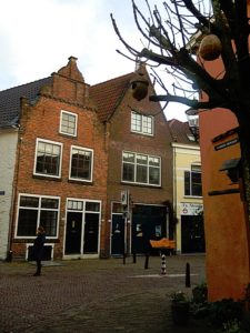 The Bergkwartier is a neighborhood in the center of the Dutch city of Deventer. The neighborhood is located on an old river dune at the former mouth of the Schipbeek in the IJssel. On this dune, the St. Nicholas or Bergkerk was built in the Middle Ages. The Schipbeek formed the southeastern border of the Bergkwartier, where a part of the port of Deventer was located. In addition to wood and other goods, herring was also traded here, to which the street name Bokkingshang refers. On the other side of the Schipbeek was the Raambuurt, where during the industrialization factories arose. Many workers from these factories lived in the Bergkwartier, where large often medieval buildings in the nineteenth century were divided into single-room dwellings. In between areas were also filled with dwellings, causing the notorious corridors or slums to arise. On the west side, the neighborhood is demarcated by the central square of the Hanseatic city: the Brink.
The area was freely accessible from the city, but was surrounded by a city wall and a moat in the north and east. The Brinkpoort in the north, the Zandpoort in the southeast and the Bergpoort in the northeast formed the connections with the outer areas. The Bergpoort is partly attributed to Hendrick de Keyser and is currently in the garden of the Rijksmuseum in Amsterdam.
The Sint-Nicolaas or Bergkerk was not the only religious building in the neighborhood. In the Golstraat you can see the Great Synagogue of Deventer, which was built in 1892 by the design of the city architect Jan Anthony Mulock Houwer. After the building was used by the Christian Reformed Church in the period from 1951 to 2010, the synagogue was re-initiated in 2010 for Jewish services. At the Muntengang until 2012 the former coin building, where the Deventer currency was minted, was used by the New Apostolic Church. This historic building was largely rebuilt after the Second World War by Wout Knuttel.
In addition to the activity in the Raambuurt, the Bergkwartier also had an emerging business sector. The Deventer Capsule factory was the largest factory in the area, with the chimney remaining at the Prinsenplaats.
After the Second World War, the Bergkwartier was a wasted neighborhood. Under the responsibility of Minister Marga Klompé, in 1967 it was decided to release money for renovation. In 1969, the restoration was largely completed. Many buildings in the Bergkwartier have been designated by the government as a national monument. Nowadays the neighborhood attracts tourists to the city with its picturesque appearance and the annual Dickens Festival takes place here in December. De Walstraat is a street that has largely been developed on private initiative and has many small shops with a specialist range. This street forms the connection between the old center of Deventer and the large-scale shopping area at the former Boreel barracks.
![]() On top of the stairs turn left and climb the Bergschild until the houses on your right suddenly retreat a short distance from the street. Turn right towards those retreated houses and look right for a stone stair. Climb those stairs to the top.
On top of the stairs turn left and climb the Bergschild until the houses on your right suddenly retreat a short distance from the street. Turn right towards those retreated houses and look right for a stone stair. Climb those stairs to the top.
Bergkerkplein
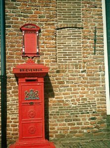 You’ve now reached the top of the Dune and you’re on the high part of the Bergkerkplein. This is historic mediaeval Deventer probably at its best. Enjoy the views on the surrounding monuments. Yo’ve now experienced the height difference between the old harbour level and the top of the highest sand dune and I hope this explains to you why people first inhabited these dune tops in a time when the river flooded several times per year.
Bergkerk, Sint Nicolaaskerk
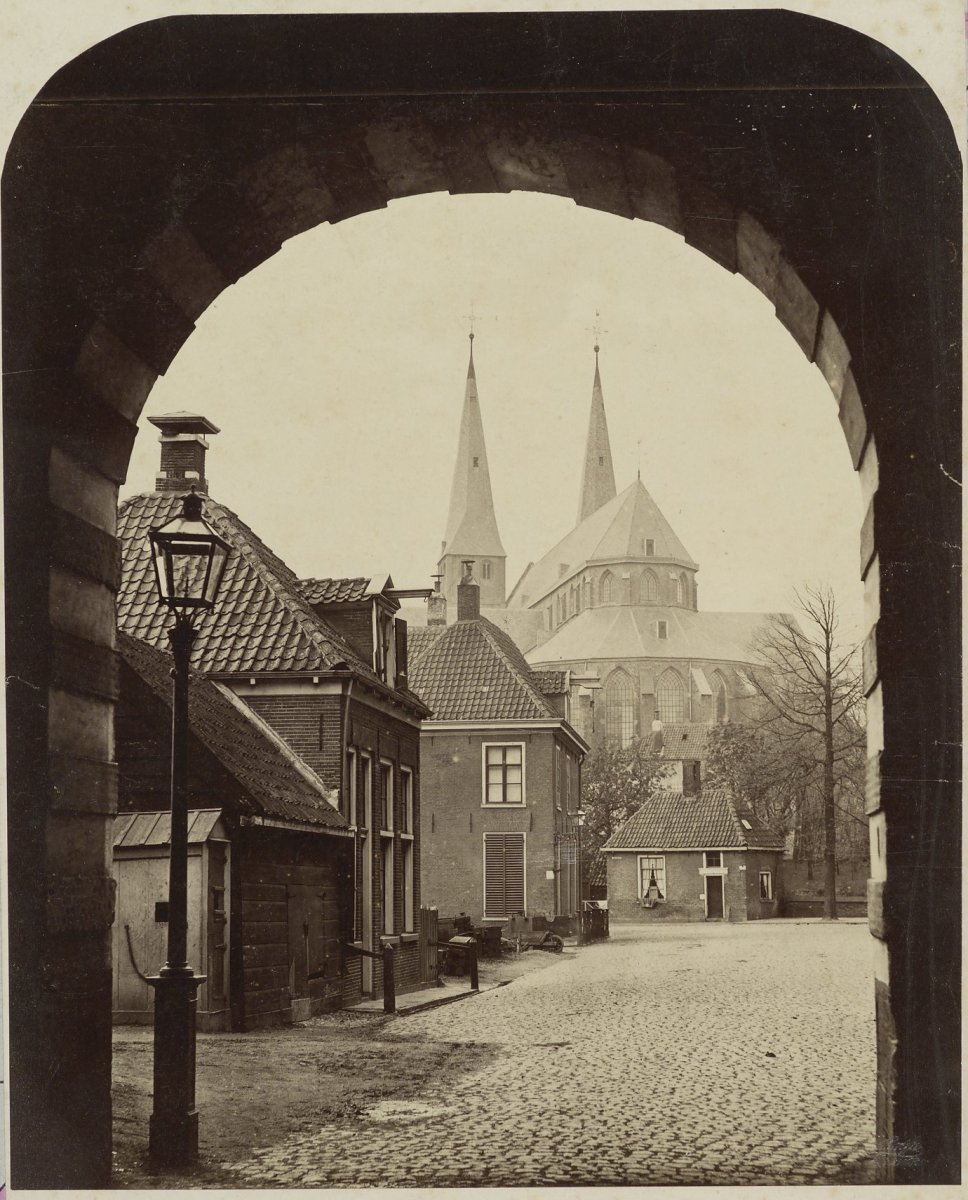
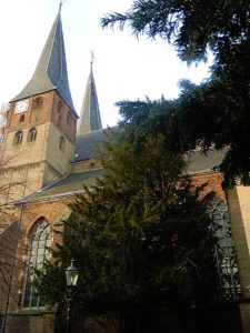 The St. Nicholas or Bergkerk in Deventer is originally a Roman basilica and is located on an old river dune in the Bergkwartier.
The Bergkerk was built in the years 1198-1209, near the then Deventer harbor quarter. It was founded in the heyday of the Hanseatic city by Norbertines from the Westphalian Varlar (near Coesfeld). The church, a Romanesque basilica, was dedicated to Saint Nicholas, the patron saint of the captains. The building is very similar to churches from the Baltic Sea countries. It was inaugurated by the Bishop of Livonia.
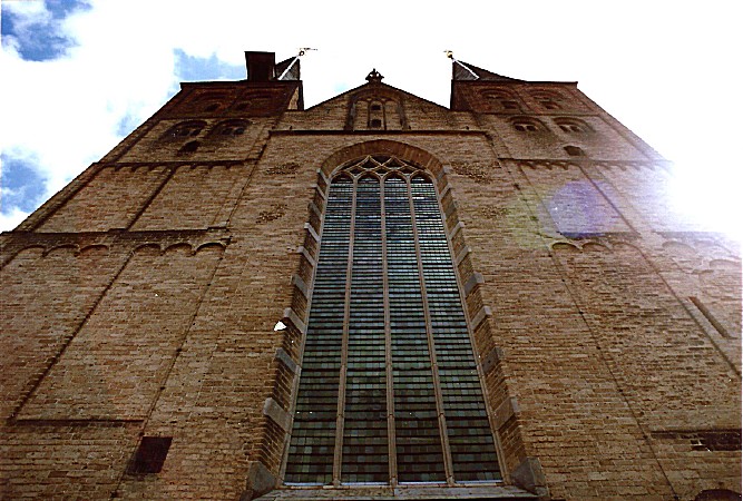
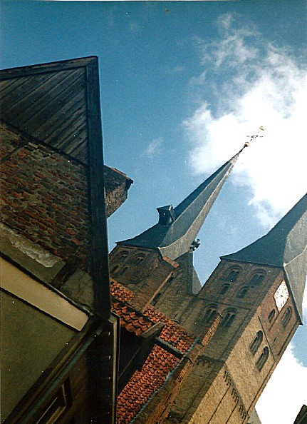
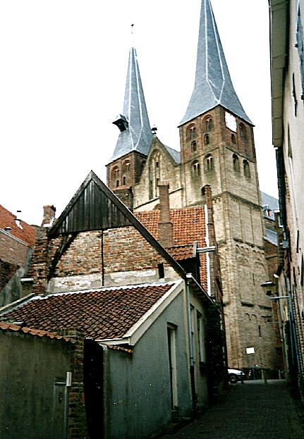
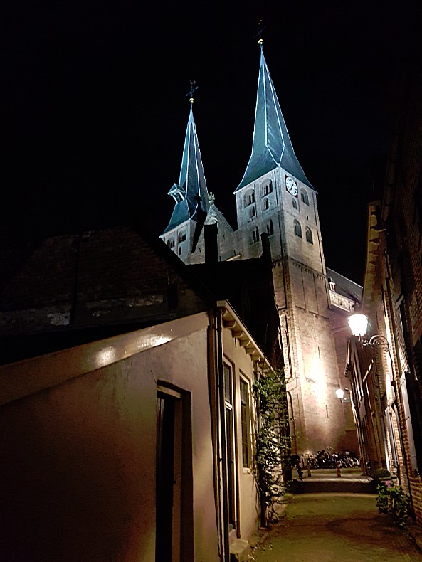
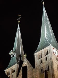
In the 15th century the Bergkerk underwent several renovations which gave it a late Gothic character. The two characteristic spiers were built during that period (the lower part of the towers is still original).
In 1580 the church passed into the hands of the Protestants; from then on the building was from the Dutch Reformed Church. The interior was, as usual, immediately stripped of the Catholic characteristics. The wall and vault paintings disappeared under a layer of whitewash.
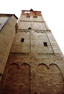 There is a legend that describes why the the Bergkerk was constructed as it is. Two Deventer sisters, Martha and Beatrix, were impressed by a knight who had come to Deventer. They both fought for the favor of this man. Beatrix eventually married the knight, leaving Martha alone. Martha then had the church built with the two towers, one a little higher than the other, since both sisters also differed in length. This would explain the alleged difference in height between the two west towers.
“In memory of the love of my sister and me, I want to make a building of my church on the mountain, two towers will be built on it, one slightly larger than the other, two children of one father alike, and inseparable. Thus will forever be the thought of our love and after our death at least there will be two sisters who will not leave each other. “
During a major restoration from 1915 to 1924, led by Wolter te Riele, the old paintings were once again exposed and restored. The paintings on the east wall of the ancient Romanesque transept date from the early 13th century. In 1967 the church was sold by the church board for the symbolic amount of 1 guilder to the municipality of Deventer, which assumed the responsibility for the costly maintenance. In 2010, restoration work was carried out on the towers of the church.
The current organ was built in the years 1841-1843 by the Deventer Johann Heinrich Holtgräve. Today the Bergkerk is used for exhibitions, meetings and concerts.
The church is used for exhibitions and concerts. Climate control and security meet the standards of the National Cultural Heritage Agency in 2016.
![]() After enjoying the Upper Bergkerkplein and its small park, walk left around the church and descend via stone stairs to the Lower Bergkerkplein. Turn left into the Roggestraat.
After enjoying the Upper Bergkerkplein and its small park, walk left around the church and descend via stone stairs to the Lower Bergkerkplein. Turn left into the Roggestraat.
Roggestraat
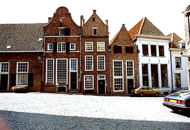
The Roggestraat is loaded with monumental buildings. The name Roggestraat means Rye Street in English. In the middle Ages there was a Beer Brewery located in one of the farm houses on the left (Roggestraat 6). This is actually the backside of the building which has its front at Bergstraat 17. We’ll pass that in part 3 of our walk.
![]() Proceed towards the end of the Roggestraat and enjoy the fantastic view over Deventer’s largest square, The Brink.
Proceed towards the end of the Roggestraat and enjoy the fantastic view over Deventer’s largest square, The Brink.
Brink
De Brink is the monumental and central square in the old town of Deventer.
Here are the Waag in which the Historical Museum Deventer and the VVV are located, the Toy and Tin Museum, the house of Rutger Jan Schimmelpenninck, the former gatehouse Penninckshoek from 1583, and the house De Drie Haring.
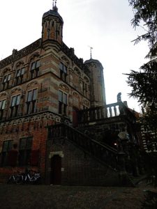 On the top floor of Museum The Waag is a maquette which shows the destruction of the large, destructive fires that burnt the wooden city down. Because of the early recognition by the Deventer city counsel, that wood as building material should be prohibited, the town has now some very old remaining stone buildings like De drie haringen.
On the square, the Wilhelmina fountain with the statue of the Deventer city virgin, in memory of the construction of the water pipe at the end of the 19th century. There is also an impressive bronze statue of Nobel laureate Albert Schweitzer.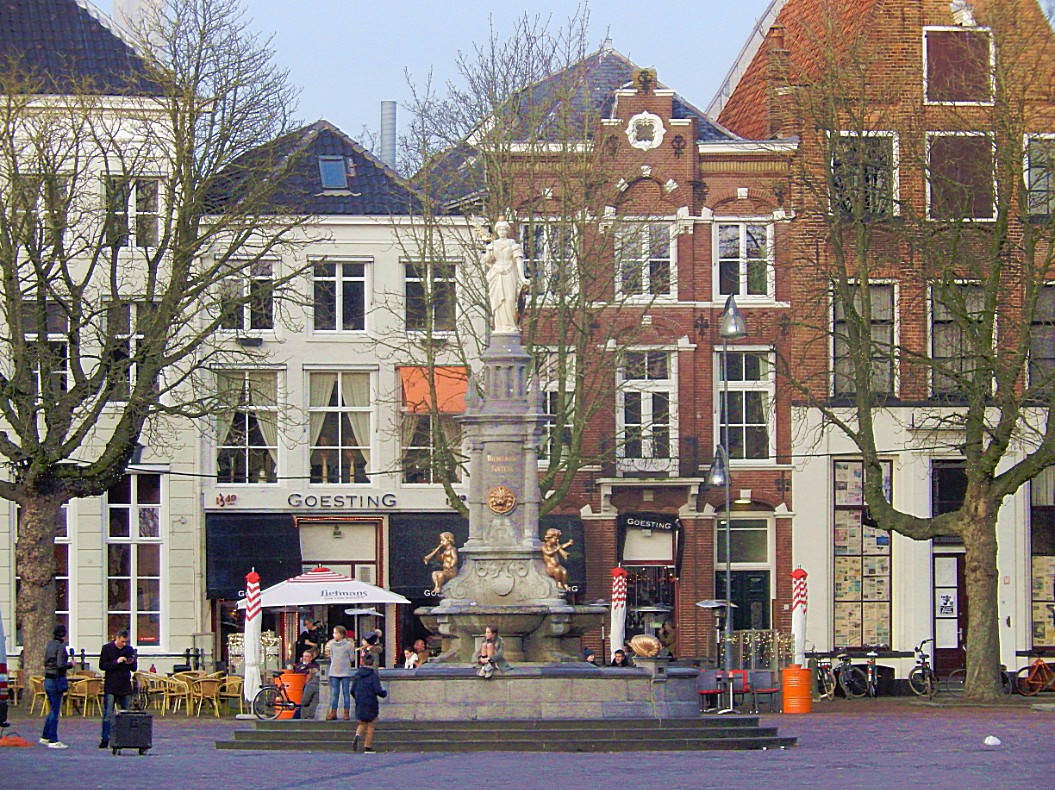
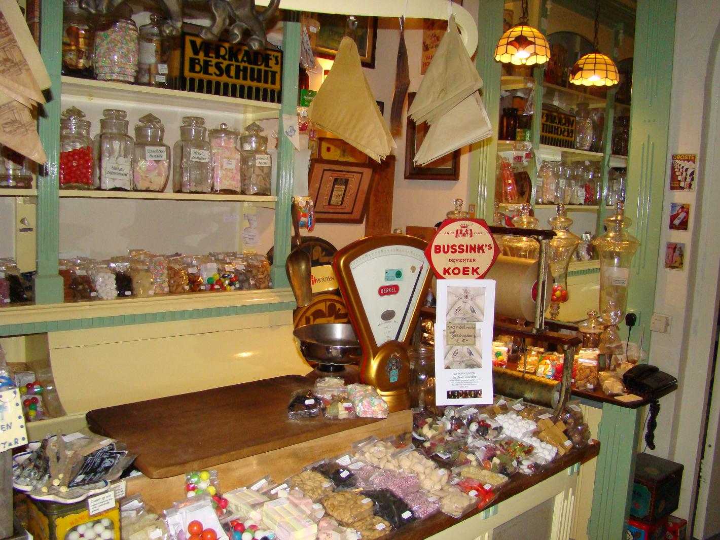
Around the Brink mainly catering establishments are located. There are many terraces. Here is also the Deventer cookie shop with Deventer cake from cake factory Jb Bussink. In the summer period there is “Play on the Brink” twice a week, a popular children’s activity. Also, larger events regularly take place on the square.
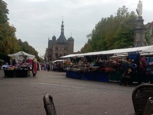 A weekly market is held on Friday mornings and on Saturdays.
De Brink lies between the oldest district of Deventer and the somewhat later developed Bergkwartier. After the construction of the new city wall around 1350, an important part of shipping moved from the IJsselkade to the port in the mouth of the Schipbeek. The Brink, located near the river quay and harbor, became an important center for trade. Merchants from near and far came together to trade on the five major annual markets of Deventer. Since 1528, the Waag is also on the spot where much of the trade took place.
After a visit to the Cookie shop and walking around a bit, return to the entrance of the Roggestraat and then face the Brink. Now proceed to the description and map 3.
Part/Map 3: Brink–>Bergstraat–> Bergkerkplein–>Kerksteeg–>Bergschild (Stadswal)–>Menstraat–>Brink–> Rijkmanstraat–>Muntengang–> Achter de Muren Zandpoort–> Zandpoort–>Boterstraat –> Brink–> De Heks–> Polstraat–>Manhuissteeg–>Achter de Muren Duimpoort–>Duimpoort–> Sint Janssstraat–> (rondje) Groote Kerkhof (blik werpend op Lange Bisschopstraat)–>Waterstraat–>Vispoort–> Nieuwe Markt–>Dikke van Dale–>Achter de Muren Vispoort–>Kranensteeg–> Noordenbergstraat–>Klooster–> Tibbensteeg–> Nieuwstraat–>Stromarkt–> Graven–> Nieuwe Markt–> Hofstraat–> Kleine Poot–> Part/Map 4
![]() Starting at the end of the Roggestraat and facing The Brink, turn left and after a short walk right into the Bergstraat. Ascend the cobbled street until you reach the Upper Bergkerkplein.
Starting at the end of the Roggestraat and facing The Brink, turn left and after a short walk right into the Bergstraat. Ascend the cobbled street until you reach the Upper Bergkerkplein.
Bergstraat
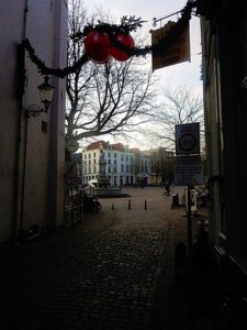
 The Bergstraat is the steepest ascend to the top of the former sand dune. It leads towards the Upper Bergkerkplein. The street is packed with beautiful monuments, restored between 1967 and 1969. Enjoy the monuments and the view up towards the Bergkerk. The street shows quite well how uncommonly wealthy the city had become when it was one of the main Hanseatic towns in Europe and the main hanseatic town in the Netherlands. A bit before reaching the top, you’ll see on your right the by Claus van Amsberg unveiled memorial on the wall of Bergstraat 37-39. It presents Nicolaas van Myra who pays a bag of subsidy money in the Bergkwartier. This was actually the money for the renovation of the Bergkwartier.
![]() Cross the Upper Bergkerkplein and go right into the descending Kerksteeg. Follow the Kerksteeg until it ends at the Bergschild.
Cross the Upper Bergkerkplein and go right into the descending Kerksteeg. Follow the Kerksteeg until it ends at the Bergschild.
Kerksteeg
When walking down the cobbled stones of the Kerksteeg, do not forget to turn around a few times, becausethe view is extremely photogenic 😉
Bergschild
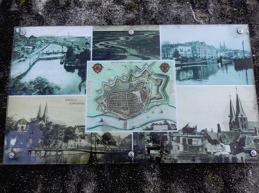
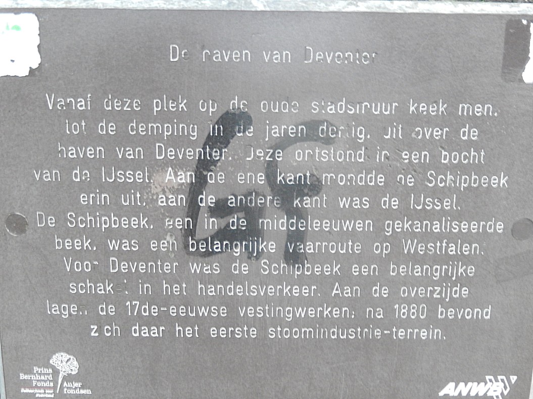
Tthe Bergschild is also a location packed with beautiful monuments. Cross the Bergschild towards a little fenced children’s playground. Go through the fence if it is open and proceed towards the edge of the city wall. From here you’ll have a great view over what once was the old harbour of Hanseatic Deventer. There are some information tableaus showing pictures of the harbour. From here goods were unloaded and transported towards the Brink where they could be weighed at the Waag and traded on the market.
![]() Return to the Bergschild and walk towards the entrance of the Kerksteeg. Just before entering the Kerksteeg turn left into the descending Menstraat. Follow the Menstraat until it ends on the Brink.
Return to the Bergschild and walk towards the entrance of the Kerksteeg. Just before entering the Kerksteeg turn left into the descending Menstraat. Follow the Menstraat until it ends on the Brink.
Menstraat
Enjoy this street full of wonderful monuments from Deventer’s heydays as an important member of the Hanse city trade union. Menstraat means Steering, driving or guiding street. It refers to steering/driving/guiding of horses. I’ve mentioned horses before and that’s because in hanseatic/mediaeval Deventer, those were important for transportation, plowing agricultural land and warfare.
Broom and duster shop
A bit before reaching the end of the Menstraat is on your right a little shop selling all kinds of brooms. This is also a beautiful photogenic shop to enter and view its interior. The brooms are created from every kind of hair that you can imagine. I’m talking abot badger hair until whale baleens.
Brink
On this part of the Brink which is near to the former Zandpoort (Sand gate) and the old harbour and the river IJssel, you’ll have a brilliant view on the Waag.
Waag
De Waag is a weigh house on the Brink in the center of Deventer. It is the oldest venture building in the Netherlands that was built as such.
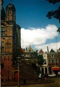 It is a late Gothic building with three storeys, a staircase tower, a clock and three spiers. It was built from 1528 to 1531. In 1643 a late mannerist platform with three columns was built at the front. There are stairs on both sides. The building was used as a weigh house until 1862, after which a school was established.
At the entrance to the platform there are two sandstone lions and the façade is decorated with the relief stones Kiek in de Pot and Morgenster, which remind of the threatening reinforcements of the Duke of Gelre on the other side of the IJssel. A bronze cauldron from 1434 hung on the façade for centuries, in which counterfeiters were boiled alive in the oil. This occurred among others in 1434 to the coin master Mr. van Batenburg on charges of counterfeiting. A recent condition check showed that it was no longer sensible to leave the copper kettle hanging outside. Since 2017, the boiler has therefore been moved to the front porch of the weigh house and can be visited there without any obligation of buying a museum ticket. The holes that can be seen in the boiler were shot in 1813 by shooting soldiers from the occupying Napoleonic army.
The building is leaning towards one side, it is about 80 cm from being straight. That is why it was provided with new foundations in the nineties.
From 1915 a museum was established in the Waag. Since 2015, the museum has been called ‘Museum De Waag’, formerly ‘Historisch Museum Deventer’. In addition to important pieces from the Deventer historical collection, there are changing exhibitions with a specific theme. These are organized by the organization Deventer story.
Website: http://museumdewaag.nl/
On the top floor is a display which explains the destructive power of the great city fires.
The museum is absolutely worth spending an hour or more of your time.
![]() Turn left into the Rijkmanstraat.
Turn left into the Rijkmanstraat.
Rijkmanstraat
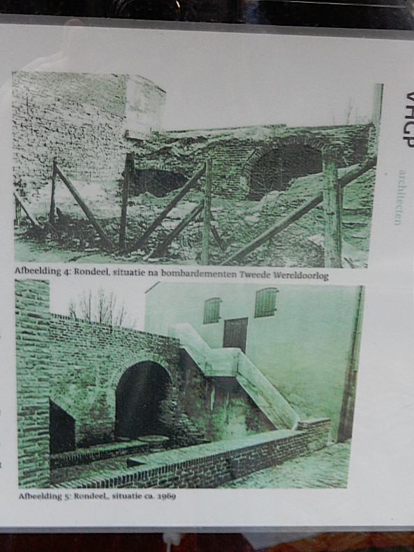
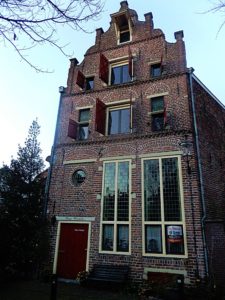 Rijkmanstraat means in English Rich or Wealthy men’s street. And although this part of the Bergkwartier was very heavily damaged by Worl War II bombardements, and most of the beautiful buildings are gone, it does boast at least one extremely beautiful monument on the left of the street, shortly after leaving the Brink.
Look right for a narrow alley named Muntengang and enter this cobble stone paved alley. Follow it until you reach a small square.
Muntengang/Muntentoren
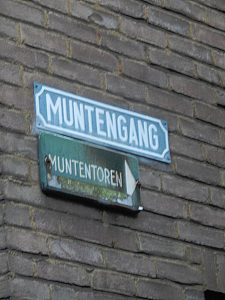
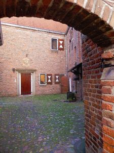 The Muntengang (Coin alley) leads to the Muntentoren (Coin Tower). In Deventer, royal coins were minted at the end of the 10th century, from 1046 on they became episcopal coins. The right to coin was a right that only real wealthy places obtained and could exercise. Of the more than 9000 coins from the period 1040-1100 found in the current Netherlands and East Friesland, no less than 1639 coins came from Deventer. Deventer coins from later periods have been found in excavations across the entire area of the Hanseatic League. Until the introduction of a national currency in the early 19th century, the last Deventer coin arrangement was located in a building between the Rijkmanstraat and the Zandpoort, the Muntentoren. Especially in the 11th and 12th century Deventer was one of the most important trading places in what is now the Netherlands.
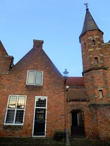
![]() Leave the small square through a tiny arched gate and go left towards the road. This is Achter de muren
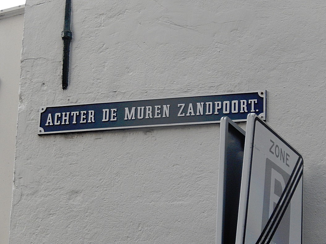
Leave the small square through a tiny arched gate and go left towards the road. This is Achter de muren 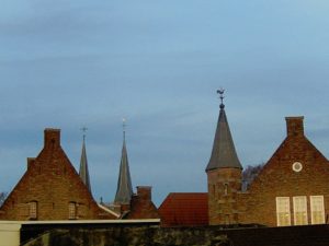 Zandpoort.
Achter de muren Zandpoort
Deventer has quite some city wall remains. We’ve seen the largest part from the Kazernestraat and on top of the Bergschild, but there are less and more hidden parts to be found. There are three streets in Deventer that are named Achter de muren (meaning Behind the City Walls), and added to their name is the name of the city gate located nearest to the street. In this case it is the Zandpoort (Sand gate), which we’ll visit next.
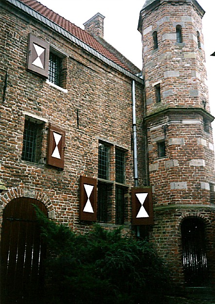
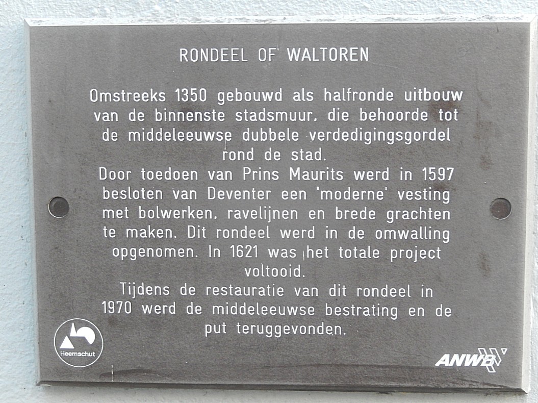
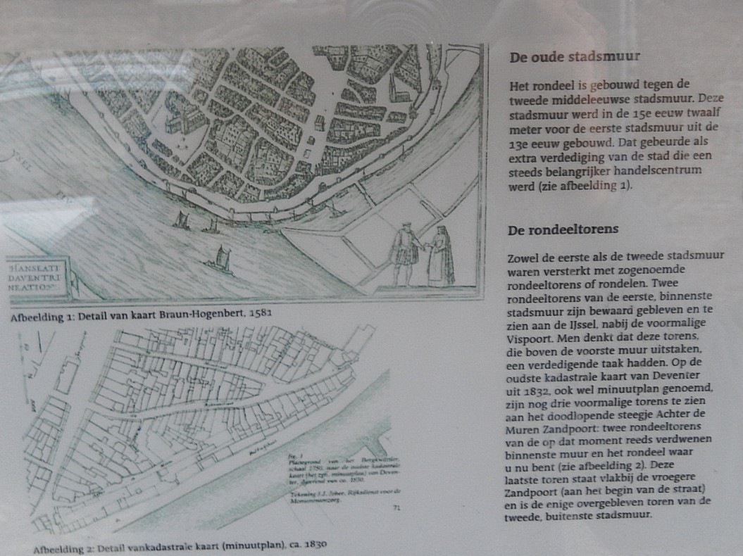
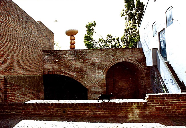
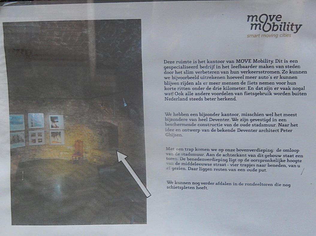
Cross the street towards the gallery. Look through its windows (or better visit the gallery) and you’ll see remains of the city wall and a defense tower. Their are informative tableaus hanging behind the windows.
Website: https://www.rondeeldeventer.nl/
![]() Facing the gallery turn right. Follow the road until you reached the Zandpoort. Turn right. You have now left the Bergkwartier.
Facing the gallery turn right. Follow the road until you reached the Zandpoort. Turn right. You have now left the Bergkwartier.
Zandpoort
The Zandpoort (Sand gate) was a former medieval city gate of the city of Deventer. The gate was built in 1394. The gate formed the southwestern gateway to the city. At the Zandpoort there was also a toll-house where the Katentol (named after the Katerveer south of the city of Zwolle), had to be paid.
During the siege of 1578 under the leadership of the Count of Rennenberg the city walls were fiercely attacked. As a result, the Zandpoort lost its pinnacle and four corner towers.
In 1591 another siege took place on Deventer, this time by the State army under the leadership of Prince Maurits. On June 9, 1591, Maurits had the southern city wall massacred with cannons from sunrise. The Zandpoort again suffered a lot of damage under the heavy bombing. In addition, a breach was created in the city wall, allowing attackers to enter the city. Although an action by the State army to invade the city failed, the city surrendered not much later.
De drie Haringen and De rode Leeuw
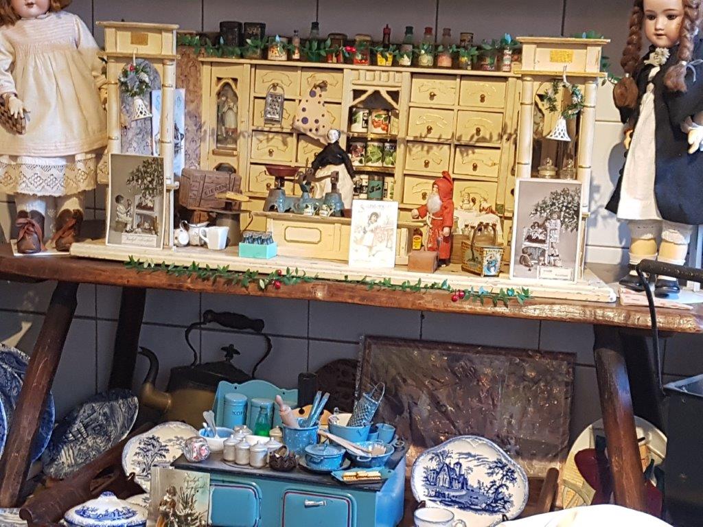
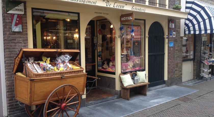
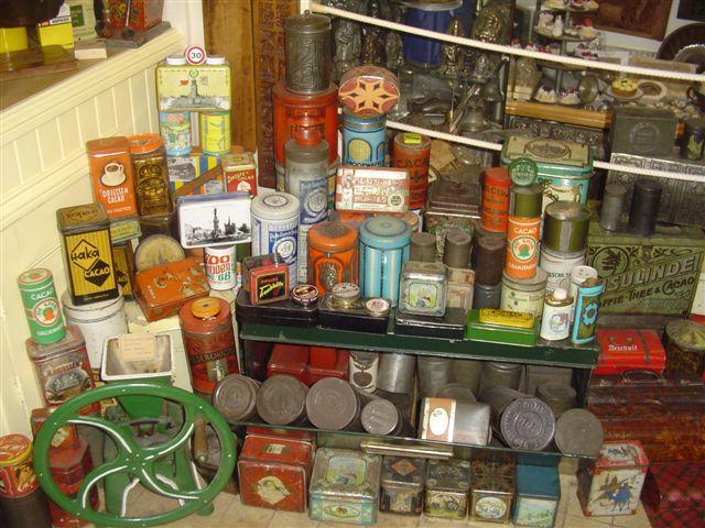
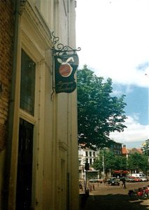
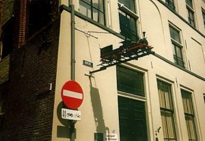 Just across the street are two very old buildings (even old for Deventer) of which De drie haringen (the three herrings) is the oldest. You can recognize the buildings from hanging sign boards depicting three herrings and a red lion. The three herrings nowadays houses the Speelgoed- and Blik museum which shows a lot of the history of toys through the ages and has a wonderful collection of magic lanterns, china dolls a miniature railway and a great collection of tinplated conserves, which were created in Deventer after the Industrial Revolution.
Website: https://www.speelgoedmuseumdeventer.nl/
![]() Walk towards the Waag and the Brink, but turn left into the Boterstraat (Butter street). Proceed to the end of the street.
Walk towards the Waag and the Brink, but turn left into the Boterstraat (Butter street). Proceed to the end of the street.
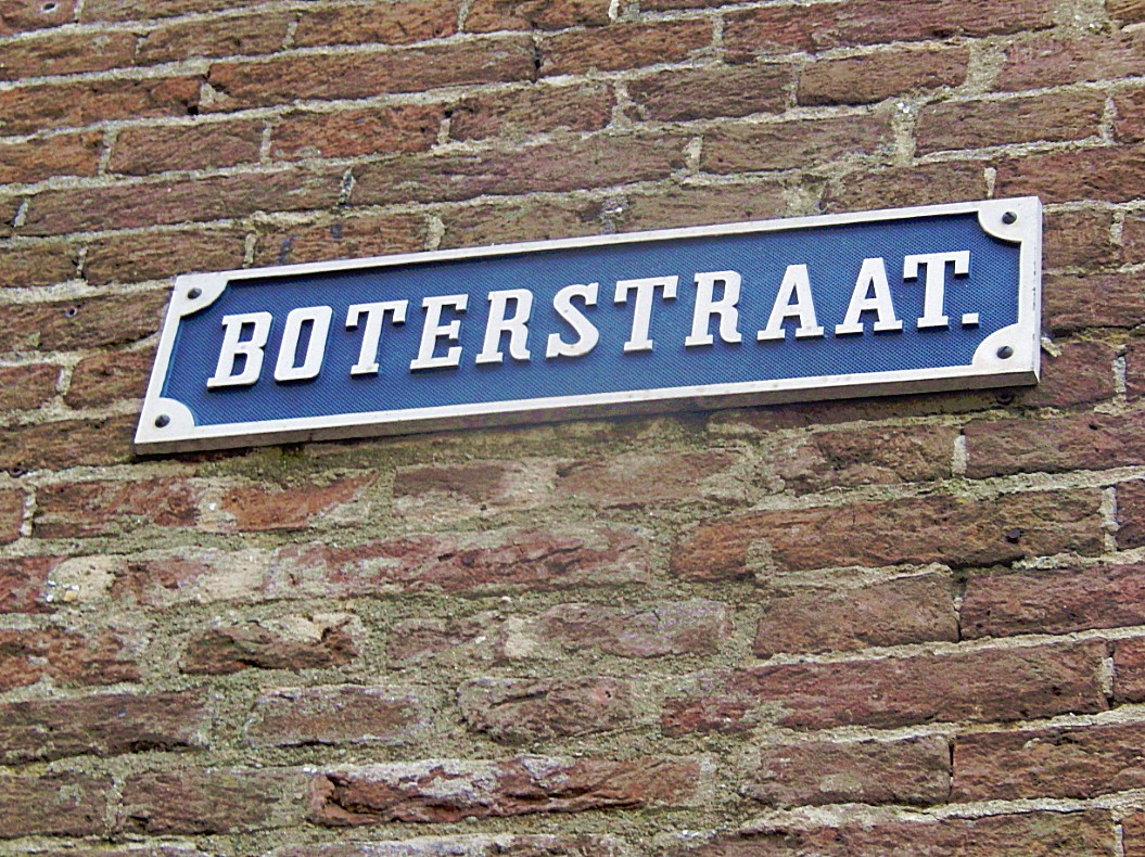
Boterstraat
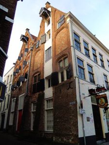
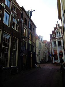 The Boterstraat is like the Roggestraat, Houtmarkt and Beestenmarkt a street named after commodities that were traded in Mediaeval/Hanseatic Deventer. The street is again packed with beautiful monuments.
![]() At the end of the Boterstraat turn right for a last short visit to the Brink.
At the end of the Boterstraat turn right for a last short visit to the Brink.
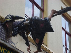
Brink/Specialty Beer Cafe The Witch (Bierencafe De Heks)
This part of the Brink, in the shadow of the Waag has lots of beautiful monuments too. One of those is Bierencafe De Heks (Specialty Beer Cafe The Witch). It boasts the most tapped draught beers of Deventer. A drunk witch on a broomstick has crashed herself against its outer wall. I’d advise you to take a cold beer or two or three… or…hips… and sit on the terrace, admiring the monuments around you.
Website: www.deheks.nl
![]() After leavin the Heks, turn left and walk straight into the Polstraat.
After leavin the Heks, turn left and walk straight into the Polstraat.
Polstraat
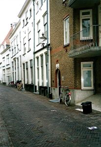 It’s not completely clear where the name Polstraat originated from, but the best guess is that it originated from Poelstraat (meaning Pool Street in English). We’re now entering the oldest part of the city of Deventer. The Brink is very low in altitude and the streets running from the Brink all climb up towards a sand dune. On the other side of the Brink we visited the sand dune of the Bergkwartier, now we visit the third Sand dune, the one where Deventer started. The Polstraat is packed with beautiful monuments of which one of the best is seen almost immediately after leaving the Brink on your left.
 Halfway at the corner with the Bursestraat (right), we see a book sculpture in the wall corner. The buildings in the Polstraat behind this book were the location of the first offices of Kluwer book publishers.
This is also the top of the dune. Even when the River IJssel is flooding, this part never did, not even its cellars.
About those cellars. It is told in very old texts from the Museum The Waag, that they were haunted.
Follow the Polstraat towards its end, but look for a narrow arched gate and alley on the left. Turn left.
![]() Follow the Polstraat towards its end, but look for a narrow arched gate and alley on the left. Turn left into the Manhuissteeg.
Follow the Polstraat towards its end, but look for a narrow arched gate and alley on the left. Turn left into the Manhuissteeg.
Manhuissteeg (Old men’s alley)
This one of the many narrow alleys in town. It leads towards a street named Achter de muren Duimpoort.
It is named after the old men’s house that was located here between 1473 and 1737.
Where the Manhuisteeg connects to Achter de muren Duimpoort is a nice view point where you have a great view across the IJssel river.
![]() At the end of the Manhuissteeg, turn right into Achter de muren Duimpoort.
At the end of the Manhuissteeg, turn right into Achter de muren Duimpoort.
Achter de muren Duimpoort
This is another street walking just behind the city walls. Some of these walls are now part of buildings facing the river IJssel.
![]() Proceed towards the end of the street Achter de muren Duimpoort where the Duimpoort was located.
Proceed towards the end of the street Achter de muren Duimpoort where the Duimpoort was located.
Duimpoort
Duimpoort – Former Deventer city gate, possibly named after the 14th century Deventer family Ten Dune.
The Duimpoort (also called Duinpoort) is a former city gate of the city of Deventer. Like many other city gates of Deventer, the Duimpoort consisted of both an inner and an outer gate. According to the city secretary Gerhard Dumbar, the gate was named after the opposite “rabbit gardens” that were demolished in the 15th century. The Duimpoort was to be renewed in 1626. Between 1832 and 1859 the gate was demolished in different phases. The streets Duimpoort and Achter de Muren-Duimpoort refer to the location of the former gate.
![]() Go right and enter the Grote Kerkhof (Former cemetery at the Lebuïnus Church/In English: Large Cemetry) one of the city centers largest squares. Walk around this square and enjoy the many splendid monuments that can be found here. Return afterwards to the Duimpoort.
Go right and enter the Grote Kerkhof (Former cemetery at the Lebuïnus Church/In English: Large Cemetry) one of the city centers largest squares. Walk around this square and enjoy the many splendid monuments that can be found here. Return afterwards to the Duimpoort.
Grote Kerkhof
You could walk around counterclockwise and specifically notice the following monuments:
Introduction: 1st it is important to undestand that the area your now entering, is that of the old Kapittel (Area where the Bisshop’s and their entourage lived, prayed and learned and ruled over Deventer and over the lands owned by the Bisshop). This area was a substantial part of the historic inner city and it stretched from the Grote Kerkhof to the Broederenkerk (Church of the Brethren).
Latin School
The decisive factor for the city was the development of the long-established collegiate school into a highly regarded Latin city school under the influence of the Brothers of the Common Life. Thomas a Kempis enjoyed his basic training there at the end of the 14th century. At the end of the 15th century, from 1483 to 1493, the school under the leadership of the rector Alexander Hegius would become one of the most important intellectual centers of the Northern Netherlands. Hegius introduced Greek as a profession, unique for that time. The still young Desiderius Erasmus therefore came to Deventer for a short period. From his writings it is known that he attended in Deventer a lecture by the important early humanist and theologian / philosopher Rudolf Agricola (1443? 4-1485). He was probably invited by his friend and former pupil Hegius. The Latin School in Deventer is called the ‘cradle of humanism’.
City Hall
This ensemble of ancient and modern buildings is the City Hall, seat of the Deventer City Counsel. It is worth to visit the backyard too.
Lange Bisschopstraat and Grote Poot
At the far end of the Grote Kerkhof, you’ll find the entrances to the Kleine Poot (left) Grote Poot (Right) and Lange Bisschopstraat (straight forward). De Lange Bisschopstraat (Long Bisshopstreet (not referring to a long Bisshop but a long street ;-)) derives its name from the period when 3 Bisshops had their ruling seat in Deventer. Nowadays it is the main shopping street in Deventer.
Liberty Statue
Across the City Hall is a statue commenmorating the victims of the 2nd World War.
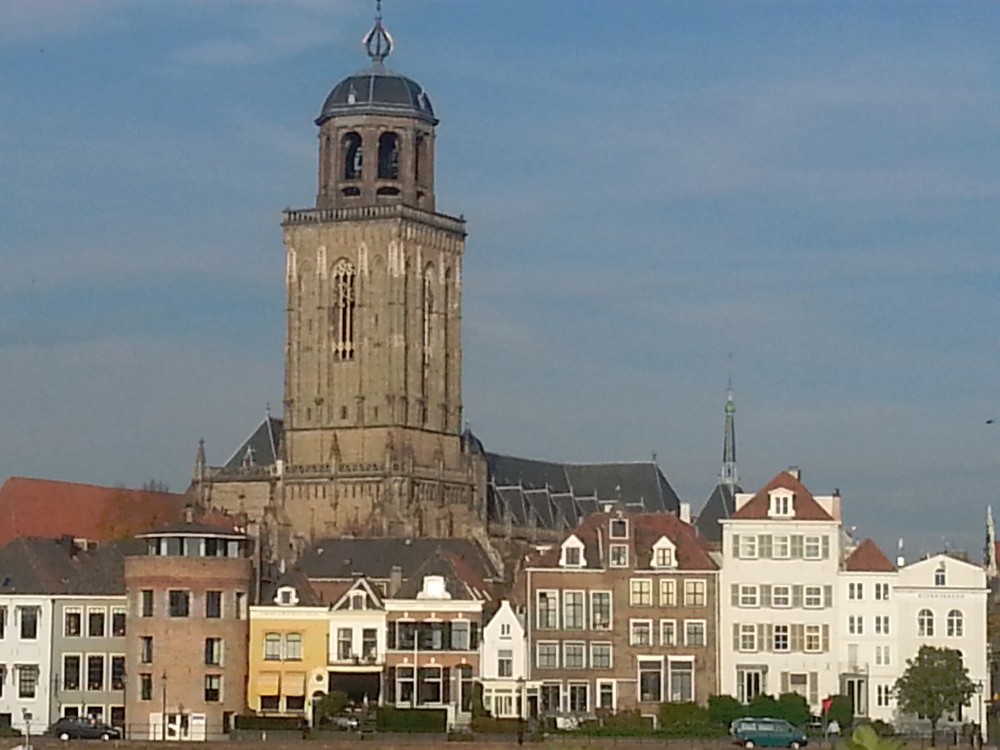
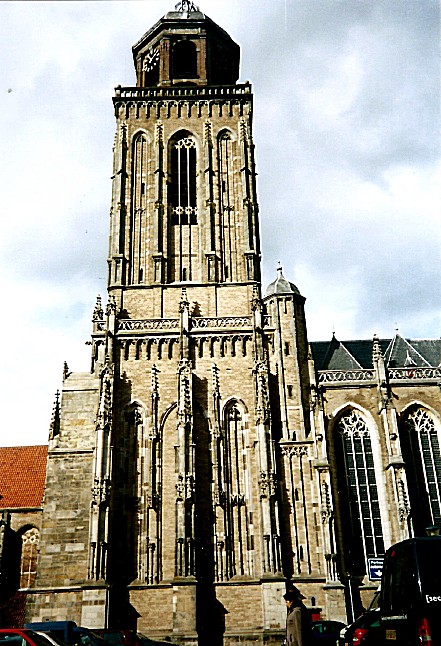
Grote of Lebuinus kerk
The main monument of Deventer is the Grote of Lebuinuskerk (Great or Laefwin Church), named after the 1st bisshop ever to visit Deventer and christen its citizens. He also built a small wooden church on the spot where we now find this humongous church.
Church Tower
In Spring and Summer it is possible to climb up the Church Tower. It is a steep and narrow climb but very much worth doing so. The views over town and river are excellent!
Maria Kerk
Left of the Lebuinuskerk is the much older Mariakerk, which is now home to Restaurant Het Arsenaal. This church has no roof but if you walk through the gate you can see the remains of the old church walls and windows.
Return to the Duimpoort.
![]() Standing at the Duimpoort facing the Lebuinuskerk, turn left and keep the buildings left near. In front of you is Waterstraat, a street going behind the buildings of the Grote Kerkhof. Follow Waterstreet to its end.
Standing at the Duimpoort facing the Lebuinuskerk, turn left and keep the buildings left near. In front of you is Waterstraat, a street going behind the buildings of the Grote Kerkhof. Follow Waterstreet to its end.
Waterstraat
Notice about halfway the spot to your left where there is an old commercial text printed on the wall above. The houses left are actually wider on this side than they are on the side facing the river IJssel. The reason for this is that in the Middleages, the amount of tax you had to pay for such a house was calculated, based upon how wide your house front was. Some houses have a trapezium floorplan and the short side of the trapezium is the front side.
![]() Stop at the end of Waterstraat and look left. This street towards the IJssel is the Vispoort.
Stop at the end of Waterstraat and look left. This street towards the IJssel is the Vispoort.
Vispoort
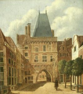 The Vispoort is a former medieval city gate of the Dutch city of Deventer. Because a double city wall surrounded Deventer, there was both an indoor and an outdoor fish port. They were not in line with each other, after passing the outer gate a bend had to be made to pass through the inner gate. This made it difficult for enemy invaders. Outside the port, fish was brought in and traded at the IJsselkade. The Fish Gates were demolished in parts in the period from 1839 to 1873. The outer gate disappeared first in 1839 and was replaced by an iron gate. The Binnen-Vispoort was demolished in 1841, except for the two towers of the gate. The towers served as an observatory and were connected to each other by means of a wooden walkway. Eventually the towers of the Binnen-Vispoort were also demolished.
![]() Do not turn left but turn right instead. You’ve now reached the Nieuwe Markt (New Market).
Do not turn left but turn right instead. You’ve now reached the Nieuwe Markt (New Market).
Nieuwe Markt
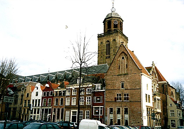 The Nieuwe Markt is another of the many beautiful market squares used for trading goods in the heydays of the Hanze Union. The square has lots of monuments on 3 sides of the square. One square however is occupied by a rather ugly 70’s Schoolbuilding.
Grandcafe De Dikke van Dale***
Near Waterstreet is a delightful Grandcafe named Grandcafe De Dikke van Dale. I’d advise you to visit this beautiful Grandcafe and eat and drink something before you walk further. The Grandcafe boasts a quite large terrace which is very sunny in the late afternoon. The interior is quite special. The name Dikke van Dale (in English something like the fat van Dale) is derived from the most famous dutch dictionary. It is a very thick or fat book and the 1st one was written by Johan Hendrik Van Dale, February 15, 1828 who was born in Belgium. The interior is decorated like a cosy library full of bookshelfs. They serve good, tasteful and sturdy food for a decent price. Also they have quite some specialty beers on tap.
Website:
www.dedikkevandale.nl*** In 2018, Grandcafe De Dikke van Dale closed permanently and its really awesome interior was utterly destroyed (can’t put it otherwise). Very good alternative locations for lunch or breakfast are provided in the linked blogpost:
![]()
After a visit to the Grandcafe Dikke van Dale, Turn your back to the entrance door of St. Maxime (former Grandcafe De Dikke van Dale) and walk straight ahead crossing the utmost left side of the Nieuwe Markt. Walk as much left as possible until you reach the Noordenbergstraat. Now your entering the Noordenbergkwartier again.
Noordenbergstraat
The Noordenbergstraat is one of the Noordenbergkwartier’s most beautiful streets. In the old days it ran from the Nieuwe Markt to the Noordenbergschild, but nowadays the street is divided into two parts, the other part being the Korte Noordenbergstraat (korte is short), which we already visited on our first visit to the Noordenbergkwartier. Enjoy the awesome monuments sprinkled over the whole length on both sides of this street.
![]() Proceed on the Noordenbergstraat and look about halfway for a narrow cobble stone paved alley with arches above keeping the walls of the buildings from collapsing. This is the Kranensteeg (Crane Alley).
Proceed on the Noordenbergstraat and look about halfway for a narrow cobble stone paved alley with arches above keeping the walls of the buildings from collapsing. This is the Kranensteeg (Crane Alley).
Kranensteeg
Alley that ended at the unloading crane on the IJssel riverbank. The old buildings designed in the Middleages or 16th centyry were not as sturdy as we can build them nowadays. The outer walls could bend to the outside and to prevent this as much as possible from happening, stone arches were put between building walls to support them. Look up and you’ll see a few of those arches.
![]() Look left at the end of the Kranensteeg for some remaining fragments of Deventer’s City Walls, but turn right into Achter de Muren Vispoort.
Look left at the end of the Kranensteeg for some remaining fragments of Deventer’s City Walls, but turn right into Achter de Muren Vispoort.
Achter de muren Vispoort
And this is the third and last part of the streets running immediately behind the old city walls.
![]() Walk to the end of Achter de muren Vispoort. Now you’ve reached the Muggeplein. Then turn right andwalk around this beautiful small square which has become the Noordenberg’s center.
Walk to the end of Achter de muren Vispoort. Now you’ve reached the Muggeplein. Then turn right andwalk around this beautiful small square which has become the Noordenberg’s center.
Muggeplein
This small cozy square with a beautiful tree in its center, is the center of the yearly Pinksterfeesten (Pentecost national holiday). There are many monuments to observe.
Fermerie
This beautiful building was built in 1638 as a hospital by Henrick Losscher and Johan Jordens, but is best known as the community center of the Noordenberg quarter. A stone plaque commemorates its founders.
![]() Leave the Muggeplein at the Noordenbergstraat in the opposite direction form whence you came.
Leave the Muggeplein at the Noordenbergstraat in the opposite direction form whence you came.
Noordenbergstraat
In this part of the Noordenbergstraat to your left is the old Athenaeum Library.
Athenaeum Library
The Athenaeum Library, located at the Klooster is the oldest scientific library in the Netherlands with a large and important collection of old manuscripts and books of, among other things, the movement of the Modern Devotion.
In 1560, the Deventer city council bought 44 books from the late Jan Willemszoon harbor porpoise (parish priest Phoconius) for 102.5 gold guilders. The city government immediately ordered to make ‘voir dese Stadtsboecken’ a cupboard. The city library of Deventer was a fact. In 1630 the Athenaeum Illustre was established. This regional university college remained in existence until 1878. In 1820 the books of the University of Harderwijk were purchased.
Worth mentioning are the Van Vloten collection, the Louis Couperus collection by W.M.S. Pitlo-van Rooijen (donated in 1984) and the J.H. Leopold collection from Gerard Burger, chairman of the Humanistisch Verbond, Deventer (donated in 2009). The city library was also a library for the Athenaeum. This explains the name Athenaeum library.
In 2010, the 450th anniversary was celebrated, on the occasion of which an exhibition with masterpieces was organized. Just then a manuscript by Louis Couperus from private ownership (namely from collector Pieter Berend Oudemans, 1960-2005), Elyata, went over to this collection. The library incorrectly suggested in the accompanying press release that this was the last manuscript of Couperus in private possession.
The collection of the Athenaeum Library contains a large number of special manuscripts, atlases and books from the early days of printing. A number of these can be browsed through the masterpieces collection on the website of the library.
Well-known directors of the Athenaeum library in the 20th century included Bert van ‘t Hoff, Anton Koch and J.C. Bedaux.
![]() Proceed through the Noordenbergstraat and turn left onto the Klooster. We’ve now arrived at the jewel of the Noordenbergkwartier.
Proceed through the Noordenbergstraat and turn left onto the Klooster. We’ve now arrived at the jewel of the Noordenbergkwartier.
Klooster
Klooster is Dutch for Monastery. The main entrance to the Athenaeum Library is to the left immediately after you entered the Klooster. To the right is an old red mailbox. Behind and to the right are beautiful monuments like The Hof van Holland and the Sajetbaal.
![]() Proceed following the Klooster past the Athenaeum Library on the left.
Proceed following the Klooster past the Athenaeum Library on the left.
Tuinfeest/Garden Party
On the right is a little square between the buildings, which is every year used as the central area for Poetry Festival Het Tuinfeest (The Garden Party). Around the Klooster in this part of the Noordenbergkwartier are numerous beautiful gardens in which in summer on the saturday before the 1st sunday of August (when the Deventer Boekenmarkt is held), are used as backdrops for poets and musicians attending the festival.
Website: https://www.theaterbouwkunde.nl/theater/het-tuinfeest/
City Archives
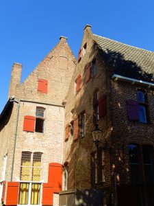 On the other side of the small square on the right side of the Klooster are the City Archives.
Since the Middle Ages, the archive has not only preserved the written representation of the work of the municipal administration, but also the archives of many Deventer families, institutions, organizations, churches and businesses. It not only forms the basis for good administration of the municipality, but is also a source of first-hand knowledge of the history of the city and region.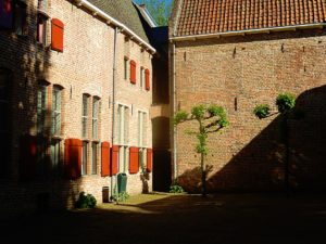
In 1999 the organizations of the City Archives and the Athenaeum Library were merged. In the completely restored Klooster 12 building, new integrated reception rooms and study rooms for archives and library visitors came in 2003. The Athenaeum Library is one of sixteen public libraries in the Netherlands under the name Plusbibliotheek with a scientific support function.
Proceed following the Klooster past the City Archives on the right. Go right after passing the archives on to a terrace (where you can eat or drink deliciously, especially the wines are recommended) and proceed through a large metal gate into the beautiful Monastery Gardens.
Monastery Gardens
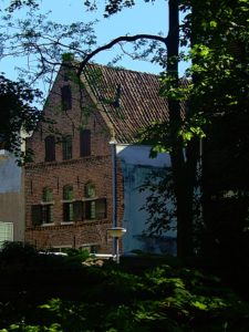
 Just walk a bit through these wonderful gardens (specially when in bloom. Enjoy the art and the view over the garden walls towards the surrounding city buildings. Even the Lebuinus Tower is visible from here. It is a small peaceful oasis in the center of the bustling town and it probably was that too when it was still used by monks.
![]()
 Leave the Monastery Garden through the entrance gate. Cross the terrace and turn right passed Theatercafe Bouwkunde on your left in the pink building.
Theatercafe Bouwkunde
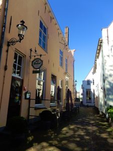 The Tuinfeest festival is organized by Theatercafe Bouwkunde (Teatre Cafe Bouwkunde (Architecture)). It is a low budget teatre for smaller productions on the top floor and a restaurant on the lower floor with a large terrace outside.
![]() Proceed passed the Theatercafe Bouwkunde and turn right for a few metres into the Papenstraat.
Proceed passed the Theatercafe Bouwkunde and turn right for a few metres into the Papenstraat.
Website: https://www.theaterbouwkunde.nl/
Papenstraat
On the left side after a few metres you’ll find the monumental Jordenshuis (Jordens House).
Jordenshuis
In 1740 Adriaen Sloet and his wife Frederika Grevink commissioned a new facade for three adjacent buildings in the Papenstraat (now no. 26). (At the back of the building you can clearly see that it is actually three buildings). The façades that were there were replaced by a single gable, which was terminated over the entire width by a continuous cornice. The six shell-shaped consoles (supporting stones) that are directly under the cornice are executed in the typical rococo style of that era.
The house was only named after 1806 the name Jordenshuis, named after the Jordens family, who became owner until 1930. Many members of this family had studied law, and they also had their office of notary or other legal office in this building. Moreover, this prominent family from 1646 to 1787 was continuously represented in the urban government. The Jordenshof (a small courtyard, in another part of the city center which you’ll visit in part 4 of this walk was also owned by the Jordens family. The garden behind the Jordenshuis is every summer part of the Tuinfeest, and fubnctions as a backdrop for poets reading poetry aloud.
![]() Turn around and walk back to the Klooster, but do not enter it to the left, but turn right and proceed into the Tibbensteeg and cross a small alley. To the left is the Bruijnsteeg and to the right the Halvesteeg.
Turn around and walk back to the Klooster, but do not enter it to the left, but turn right and proceed into the Tibbensteeg and cross a small alley. To the left is the Bruijnsteeg and to the right the Halvesteeg.
Halvesteeg
Just look into the Halvesteeg which has entrances to two other gardens, but these are privately own and not accessible except during the Tuinfeest. Anuyway, it is still a very photogenic view to just look into the Halvesteeg.
![]() Cross the two alleys into an alley straigth forward named the Tibbesteeg.
Cross the two alleys into an alley straigth forward named the Tibbesteeg.
Tibbesteeg
The large dark building to the right is the old monastery hospital. Halfway the Tibbesteeg is to the right an entrance to the backyard terrace of the Gildehotel (Guild Hotel) and there’s a little chapel in this backyard too. The hotel balcony/verande were once used to transport patients outside where they could enjoy the sun and the fresh air.
![]() Walk to the end of the Tibbesteeg and turn left for a few metres.
Walk to the end of the Tibbesteeg and turn left for a few metres.
Nieuwstraat
Gildehotel
You’re in front of the Gildehotel and its main entrance now. It is very worthwhile to step inside the main Hall and just look up for a brief while. If your staying the night in Deventer and wish to do so in a historic building than this hotel is the place to be.
Standing in the Hall and looking up:
The reception area in the main hall:
Website: https://www.hotelgilde.nl/nl/
![]() Leave the hotel through the main entrance and go right. Follow the Nieuwstraat and look right for another smaller Hotel named Hotel De Leeuw.
Leave the hotel through the main entrance and go right. Follow the Nieuwstraat and look right for another smaller Hotel named Hotel De Leeuw.
Hotel de Leeuw
Entering Hotel De Leeuw is like walking into Hogsmeades Honeydukes, except: This is for real!!!
Website: http://mobile.hoteldeleeuw.nl/
Leave the Hotel de Leeuw through the front entrance. Turn right and walk towards the end of the Nieuwstraat. Now turn right and walk over the right sidewalk. This ia another square used inthe Hanseatic period for trade. You’re now walking on the Stromarkt.
Stromarkt
This is another square used in the Hanseatic period for trade. Stromarkt means Straw Market. On the other side of the road to your left is a brand new building, with a large glass facade. It mirrors the buildings on your right of which some are awesome monuments.
Follow the sidewalk until you reach a narrow street named Graven. Keep going straight forward and proceed on Graven. Neglect a street from the right (Papenstraat), which you visited earlier.
Graven
Graven (meaning Digging/Dig) is on the north edge of the Kapttel area, the area where the Bisshop and his entourage lived. When this area was built, the city was not much bigger than this area and the plan was to dig (Dutch graven) a moat around this area. The straat graven would have been where the moat was going to be. The digging of the moat did start here, but was never finished. The city kept growing quickly when the 3 Bisshops lived here and afterwards when Deventer joined the Hanze trade union. Thus it was decided that the moat had to surround a much bigger area and this became the Inner moat which you did follow earlier on this city walk.
Go to the other end of Graven and immediately turn left on the Nieuwe Markt. Cross the Nieuwe Markt and keep the school building to your left. Enjoy the view of the monuments. Again turn left after crossing the Nieuwe Markt into the Hofstraat.
Hofstraat
Street on top of the former bishop’s court (court in Dutch is hof) near the Lebuïnus Church. The streetname clearly reminds us of the former presence of the Bisshops.
At the end of the Hofstraat is the Kleine Poot, to the right is the new entrance through glass doors to the Lebuinus church and just before the entrance a small beautiful tine cobblestone paved space and some trees. But don’t go right but go left.
Kleine Poot
Botermarkt/Butter Market
You’ll now walk underneath the roof of a Butter Market.
Because Deventer was a real trading city, there used to be many locations within the canals where markets were held. Street names still remind us of that. There is the New Market (fruit and vegetables), Stromarkt (hay and straw) and the Houtmarkt (wood). On the Kleine Poot was the butter market, of which the building still exists. In addition, large annual markets took place at the “Brink”. Markets arose outside the canals, such as the trade in cattle on the Beestenmarkt.
Nowadays there are several weekly markets in Deventer, both in the center and in the suburbs.
The building of the Buttermarket originally contained a central part and two wing parts, of which the right wing part is nowadays removed.
Nowadays there are several weekly markets in Deventer, both in the center and in the suburbs.
Proceed to the end of the Buttermarket and turn right crossing the street and entering a narrow alley. This is the Sandrasteeg. Proceed to description and map 4.
Route and Map Part 4
Part/Map 4:Sandrasteeg–>Lange Bisschopstraat–>Kleine Overstraat/Jordenshof–>Spijkerboorsteeg–>Grote Overstraat–>Pontsteeg–>Lamme van Dieseplein–> Engestraat–> Achter de Broederen–> Smedenstraat–> Korte Bisschopstraat–> Brink–> Keizerstraat–> Stationsplein
Sandrasteeg
Proosdij
In the Sandrasteeg, protected by a glass roof against weather conditions and against bird shit ;-), is the oldest stone build house in the Netherlands named the Proosdij (I didn’t find any translation into English for this word).
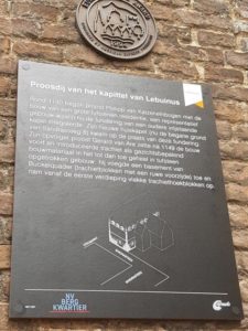 The Proosdij in Deventer is the oldest existing stone house in the Netherlands. Building archaeological research has shown that the oldest core of the building dates from around 1130 and is built from trachyte and tufa, types of stone that were supplied from the Eifel. On the second floor the remnants of three Romanesque windows are present on the front façade. The house is located on the Sandrasteeg and the Stromarkt, in the core of the old city Deventer.
Until the Reformation, the Proosdij was the residence of the provost of the chapter/kapittel of the Lebuïnus Church. The provost was in charge of this college. On the ground floor was a chapel dedicated to Boniface, next to it were reception rooms and living quarters. The building was part of the ecclesiastical area at the Lebuïnus Church.
After the siege of Deventer in 1591, the Calvinist Maurits van Oranje had conquered the city on the Catholic Spaniards. The proosdij was withdrawn from the Catholic Church and came into the hands of the States of Overijssel. The house received several other destinations and was finally sold in 1677 to Major Hendrik de Sandra, a high soldier from the State army, who went to live there with his family. The current Sandrasteeg owes its name to this. An area behind the Proosdij that had been part of the bishop’s court and got a destination in the same period as the market square and has since been called Stromarkt.
The building was squatted in the 1970s and has been ‘alternative’ for decades. In the nineties of the last century it was completely restored and in 1994 the alley on which the façade adjoins was covered to protect the nine hundred years old wallwork against further weather influences.
The nearby Proosdijpassage leads to the former territory of the proosdij where over a long period in time, markets were located. It was only built in the 1980s to improve accesibility of the shopping area.
Walk towards the end of the Sandrasteeg and turn left into the Lange Bisschopstraat (Long Bisshop Street)
Lange Bisschopstraat
The Lange Bisschopstraat borders the south side of the Bisshops Chapter/Kapittel area. It is now one of Deventer’s main shopping streets.
Turn right into the Kleine Overstraat. You’ve now entered the area full of little narrow streets and small pitoresk shops. No major shopping malls overhere 🙂 Follow this street until you see an alley (The Treurnietsgang) to your left. Neglect this alley and look for a small alley going on the right side passed the first house after the Treurnietsgang on the left. This alley will lead you to the Jordenshof, another oasis of peace in this bustling shopping area.
Kleine Overstraat
Connection road (‘overweg’) between Brink and Lange Bisschopstraat.
Jordenshof
The Jordenshof (Kleine Overstraat 25-31) is the only remaining historic courtyard in the Dutch city of Deventer.
Het hofje was originally founded by Joachim Keyzer in the Pontsteeg, but continued by his two sons-in-law Ewold Buser and Hendrik Jordens. The management is still in the hands of the Jordens family. The courtyard was moved in 1856 to the current location at Kleine Overstraat. In 1930 – 1931 the hofje was based on a plan by the Deventer architect ir. W.P.C. Knuttel (1886-1974) renewed. The courtyard has an entrance gate with sandstone elements. In the courtyard there is a memory bank with a masoned brick plaque from 1644, containing all names of the Jordens Family.
Leave the Jordenshof the way you entered. When your at the Kleine Overstraat, turn left and proceed. Then turn left again into the Spijkerboorsteeg.
Spijkerboorsteeg
 Spijkerboorsteeg is named after certain type of hand driven drill: the Spijkerboor. If you look at the Spijkerboorsteeg from above on Google maps, it will show some resemblance to this drill’s shape.
This area is the top of the first inhabited sand dune.
Proceed and turn left again at the next corner. Walk into the Grote Overstraat.
Grote Overstraat
Another connection road (‘overweg’) between Brink and Lange Bisschopstraat.
![]() Walk toward the end of the Grote Overstraat enjoying all the little stores. Then cross the Lange Bisschopstraat into the Pontsteeg.
Walk toward the end of the Grote Overstraat enjoying all the little stores. Then cross the Lange Bisschopstraat into the Pontsteeg.
Pontsteeg
The Pontsteeg is part of the Bisshop’s Chapter/Kapitel.
![]() Follow the narrow Pontsteeg until to the right the Lamme van Dieseplein appears.
Follow the narrow Pontsteeg until to the right the Lamme van Dieseplein appears.
Lamme van Dieseplein
We’ve now come to the heart of what once was the Kapittel/Chapter where the Bisshop and his entourage lived.
Geert Groote
Gerard Groote (October 1340 – 20 August 1384), otherwise Gerrit or Gerhard Groet, in Latin Gerardus Magnus, was a Dutch Roman Catholic deacon, who was a popular preacher and the founder of the Brethren of the Common Life. He was a key figure in the Devotio Moderna movement.
Religious life
Soon after Groote settled in Cologne, teaching philosophy and theology, and was granted a prebend in Utrecht and another in Aachen. The life of the brilliant young scholar was rapidly becoming luxurious, secular and selfish, when a great spiritual change passed over him which resulted in a final renunciation of every worldly enjoyment. This conversion, which took place in 1374, appears to have been due partly to the effects of a dangerous illness and partly to the influence of a fellow student, Henry de Calcar, the learned and pious prior of the Charterhouse at Munnikhuizen (Monnikenhuizen) near Arnhem, who had remonstrated with him on the vanity of his life.
In 1374 Groote turned his family home in Deventer into a shelter for poor women and lived for several years as a guest of a Carthusian monastery. In 1379, having received ordination as a deacon, he became a missionary preacher throughout the diocese of Utrecht. The success which followed his labors not only in the city of Utrecht, but also in Zwolle, Deventer, Kampen, Amsterdam, Haarlem, Gouda, Leiden, Delft, Zutphen and elsewhere, was immense; according to Thomas à Kempis the people left their business and their meals to hear his sermons, so that the churches could not hold the crowds that flocked together wherever he came.
The bishop of Utrecht supported him warmly, and got him to preach against concubinage in the presence of the clergy assembled in synod. The impartiality of his censures, which he directed not only against the prevailing sins of the laity, but also against heresy, simony, avarice, and impurity among the secular and regular clergy, provoked the hostility of the clergy, and accusations of heterodoxy were brought against him. It was in vain that Groote emitted a Publica Protestatio, in which he declared that Jesus was the great subject of his discourses, that in all of them he believed himself to be in harmony with Catholic doctrine, and that he willingly subjected them to the candid judgment of the Roman Church.
The bishop was induced to issue an edict which prohibited from preaching all who were not in priestly orders, and an appeal to Pope Urban VI was without effect. There is a difficulty as to the date of this prohibition; either it was only a few months before Groote’s death, or else it must have been removed by the bishop, for Groote seems to have preached in public in the last year of his life.
At some period (perhaps 1381, perhaps earlier) he paid a visit of some days’ duration to the famous mystic John Ruysbroeck, prior of the Augustinian canons at Groenendaal near Brussels; during this visit was formed Groote’s attraction for the rule and life of the Augustinian canons which was destined to bear notable fruit. At the close of his life he was asked by some of the clerics who attached themselves to him to form them into a religious order and Groote resolved that they should be Canons Regular of St. Augustine. No time was lost in the effort to carry out the project, but Groote died before a foundation could be made.
The initiation of this movement was the great achievement of Groote’s life; he lived to preside over the birth and first days of his other creation, the society of Brethren of the Common Life. He died of the plague at Deventer, which he had contracted while nursing the sick, in 1384 at the age of 44.
The Brethren of the Common Life
Young men especially flocked to him in great numbers. Some of these he sent to his schools, others he occupied at transcribing good books, to all he taught thorough Christian piety. Groote and Florence Radewyns, his favourite disciple, founded at Zwolle the Brethren of the Common Life. In 1387 a site was secured at Windesheim, some 24 km (15 mi) north of Deventer, and here was established the monastery that became the cradle of the Windesheim Congregation of canons regular embracing in course of time nearly one hundred houses, and leading the way in the series of reforms undertaken during the 15th century by all the religious orders in Germany. Henceforth his communities, which were spreading rapidly through the Netherlands, Lower Germany, and Westphalia, claimed and received all his attention. He contemplated organizing his clerics into a community of canons regular, but it was left to Radewyns, his successor, to realize this plan at Windesheim two years later.
Devotio Moderna
A movement known as the Modern Devotion (Devotio Moderna) was founded in the Netherlands by Groote and Florens Radewyns, in the late fourteenth century. For Grote the pivotal point is the search for inner peace, which results from the denial of one’s own self and is to be achieved by “ardour” and “silence”. This is the heart of the “New Devotion”, the “Devotio moderna”. Solitary meditation on Christ’s Passion and redemption, on one’s own death, the Last Judgment, heaven, and hell was essential.
In the course of the 15th century, the Modern Devotion found adherents throughout the Netherlands and Germany. Its precepts were further disseminated in texts such as The Imitation of Christ by Thomas à Kempis, which reached an increasingly literate public. In this context small works of art such as diptychs that provided a focus for private worship enjoyed wide popularity.
Lamberta van Diese
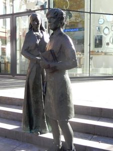 The square which has more the character of a quiet, peaceful courtyard, was named after Lamberta (Lamme) van Diese. She founded a house for Sisters of Common Life (Zusters van het Gemene Leven), the Lamme of Diesehuis which was located at the Pontsteeg. The basis for founding the Community (of women) of the Sisters of Common Life was laid out by Geert Groote (1340-1384). These sisters shared possessions, lived frugal and devoted their time, besides to work (including of spinning and weaving of fabrics, care for the sick and poor people and copying of texts) to (self-)reflection and prayer.
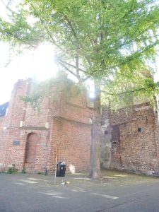 These Sister of the Common Life lived in four buildings of which we can still find some remains in and around Deventer. The Lamme van Diese Huis (dedicated to the holy Cecilia) has not survived except for the small Cecilla Chapel, of which the ruined remains can be found near the Pontsteeg.
You visited the Buiskenshuis on the Klooster in a previous part of this historic walk. It is now housing the City Archives and Athenaeum Library.
The Brandes- en Kerstekenshuis is located in the Bagijnenstraat (you will not visit this on this walk).
Orignally they lived in the Meester Geertshuis, which can still be found in de Assenstraat (20), which you will not visit during this walk.
Geert Groote Huis
 The glass building on the square, is the quite new Geert Groote Huis, devoted to teaching about Geert Groote and devoted to letting people experience what his teachings were about. It was build upon an anciet medieaval cellar, which is also accessible.
If you’d like to see how the achitecture of the Kapittel, the chapter where the Bisshops and their entourage lived, looked like when it was still intact, than do visit the Geert Groote Huis, because they have great scale models to observe.
 If your standing on the middle of the Lamme van Dieseplein, then it is a bit like an empty, but quite pieceful courtyard. But you should know that all of this emptiness was once a large complex of buildings.
Website: http://www.geertgrootehuis.nl/
Books and the written word
Previously during this walk, I explained about the largest book market in Europe, about the importance of education through books via the Latin School and Atheneum Library and the City Archives and we passed the beautiful new location of the Public Library. I showed the location where Publisher Kluwer once started its 1st offices. In short: Deventer breaths books.
The importance of the protection keeping and spreading (by copying) of the written word for the Sisters of Common Life was the spark that ignited this book culture in Deventer. This was its cradle.
![]() After looking around and maybe a visit to the Geert Grootehuis, return to the Pontsteeg and maybe visit one of the shops there, like e.g: De 3 ridders (The three knights) and proceed to follow it in the opposite direction from whence you arrived, walking past the Cecila Chapel to the end of the Pontsteeg. Then turn right. You’ve now reached the Engestraat.
After looking around and maybe a visit to the Geert Grootehuis, return to the Pontsteeg and maybe visit one of the shops there, like e.g: De 3 ridders (The three knights) and proceed to follow it in the opposite direction from whence you arrived, walking past the Cecila Chapel to the end of the Pontsteeg. Then turn right. You’ve now reached the Engestraat.
De 3 ridders
De 3 ridders is a small specialty shop selling all sorts of English and French delicacies, often beautifully wrapped or packaged.
Engestraat
Narrow street that ran from the Nieuwe Markt towards the Broederen kerk and onwars towards the Deventer enk, which was an agriculture field near the Boxbergerweg. In those days the city stopped behind the Broederenkerk. The part of the road running from the church towards the field is gone. I’m not sure whether the name Engestraat is derived from the fact that it was a narrow (in Dutch: enge) street or that the word Enk became Enge.
![]() Proceed towards the Broederenkerk in front of you which has its entrance in the Broederenstraat coming from the right.
Proceed towards the Broederenkerk in front of you which has its entrance in the Broederenstraat coming from the right.
Broederenkerk
The Broederenkerk is located where the Engestraat meets the Broederenstraat (right).
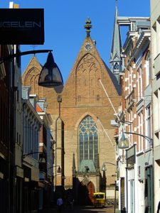 The Broederenkerk, officially the Roman Catholic Saint-Lebuïnus Church, is a church in Deventer, built between 1335 and 1338 by order of Eleonora of England, then Duchess of Guelders. Before the church was built, around 1300 there was already a monastery founded by the Franciscan Friars. Although the brothers definitively left monastery and church in 1579, the informal but perfectly established name of the Godshuis reminds of their centuries-long presence. From 1579 to 1799, the church building, with a short interruption, was used by Deventer Protestants.
History
The Christian faith confessed in the church has changed the denomination several times. Before the church was assigned to the Calvinists in 1579, the church was for a long time a convent church open to the city dwellers. The late medieval penitentiary Geert Grote, one of the most important founders of the Modern Devotion, regularly attended Mass and perhaps also preached there. The church came into the hands of the Calvinists as a result of the Dutch Revolt in 1579, but from 1587 it was available for the Catholics of Deventer for several years.
When Deventer was conquered by Prince Maurits in 1591, the Protestants finally took control of the church. Among others, the Walloon municipality has used the building for its services for a long time. The church was used around 1795 as a military warehouse for English troops and then as a French barracks. During the Batavian Republic, the church buildings of Deventer were again divided between the different religious divisions. The Broederenkerk thus came into possession of the Deventer Catholic community in 1799, for the first time after two centuries. She was put back into service on May 26, 1803, Ascension Day. The church was almost completely rebuilt at the end of the nineteenth century and expanded in early neo-Gothic style. Only the roof construction can still be called medieval.
Restoration
In 2012 and 2013, the church was not in use due to large-scale repair work on in- and extrusions. Fifteen linden wood saints statues made around 1860 in the Cuypers-Stoltzenberg workshop in Roermond were restored on this occasion by the Deventer sculptor Karoly Szekeres. In December 2013, the cross was placed back on the façade, which made the church officially suitable for celebrations.
After a visit to the Broederenkerk, enjoying its beautifully rstorated interior (in slince plese, because it is a Center of Silence, reminding you of the teachings of Geert Groote), leave the church through its main entrance and turn right and immediately right again (twice). Your now passing the small monumental houses that are build against the church on your right.
Broederenstraat/Achter de Broederen/Broederenplein
You’ve left the church at the Broederenstraat which was the street where the Fransiscan Minderbroeders (Friars) founded their church.
The next street following the above directions is Achter de Broederen (Behind the Brethren).
Ursula Chapel
Left is the Broederenplein. Walk onto the square next to the buildings on your left. If you look closely onto the pavement of the Broederenplein you’ll notice in light colored stone, the contours of an older chapel. The St. Ursula chapel and the statue of 0662. The chapel was a small one-aisled church with semicircular choir closure. In the pavement it is indicated that in 1969 foundations of the St. Ursula chapel have been uncovered.
Return to Achter de Broederen and face the church. Turn left and follow Achter de Broederen to its end. Turn right into the Smedenstraat.
Smedenstraat
You’re now in the shopping area of the Smedenstraat. I’ve explained the meaning of this street before. It was at the edge of the Medieaval town and behind it the first city wall was build and behind that the inner moat. The Walstraat which boards the inner moat is an extension of the streets where we walk now. Just before the end of the street you’ll find a narrow alley to the left named Smidsgang. Again a reference to the Blacksmiths that were banished to this area to prevent fires from destroying the town center.
Follow the Smedenstraat until it changes into the Korte Bisschopstraat (Short Bisshop Street).
Korte Bisschopstraat
The Korte and the Lange Bisshopstraat are leading to the bishop’s court at the Lebuïnus Church. Also known as the Short B. (and Long B.).
At the end of the Korte Bisschopstraat you’ll reach the Brink again and are in the opportunity to spend some time on one of its many terraces.
Brink
You might wanna visit the Deventer Cookie shop or the Waag Museum, or spend some time in Bookshop Praamstra at the corner of the Brink, Keizerstraat and Walstraat. This bookshop boasts an excellent collection of books ranging from encyclopedia’s to atlasses and old photobooks about Deventer and its impressive history.
https://www.boekhandelpraamstra.nl
From the end of the Korte Bisschopstraat, turn left and leave the Brink through the Keizerstraat. Keep following this road to its end at the outer moat.
Keizerstraat
Proceeding through the Keizerstraat which was an important main entrance road to the city center and the Brink, in thought, you’ll pass through all the city gates and walls mentioned before and we pass the Brinkpoortstraat again, on your left, before reaching the outer moat and the last gate.
Cross the Singel and use the pedestrian/cyclist bridge to cross the former area of the outer moat, which is now an underground cycle garage and reach the Stationsplein.
Stationsplein
Leeuwenbrug
The pedestrian bridge is located at a spot where in 1881 the old Leeuwenbrug (Lion Bridge) was located, crossing the outer moat, flanked by 4 lion statues.
![]()
Proceed towards the Railway station where this historic walk ends. Have a nice and safe journey home and hopefully see you soon on one of the many terraces, parks or shopping streets or festivals of Deventer.
Conclusion
The succesfull development of Deventer was actually caused by a chain reaction of coincedence and clever reactions on mostly negative circumstances.
Failure is the greatest teacher of all!
The chain reaction:
1st farmers –> River floodings –> Settlements on top of Dunes –> Attacks by Vikings –> Defensive wall –> Relative Safety –> Bisshop chooses Deventer as seat –> Growth in population and wealth need of –> More luxureous high quality buildings–> need for written texts to educate students –> Copying of books/written texts –> Latin School –> Athenaeum Library –> large city fires –> wood and reed replaced by stone and roof tiles –> need of raw materials and food –> trade grows –> markets –> Membership of Hanze –> Even more wealth –> Population grows –> Invasions –> City Walls are extended and modernized –> Important role in the defense of the young Dutch Republic.
Sources
Although this article is not pretending to be a scientifically based article, full of quotes, but is meant to provide an overview of the origin and further development of Deventer, supporting a long city walk, I will nonetheless mention some of my sources, of which I have no doubt at all that they will be available at the Praamstra bookshop (corner Brink/Keizerstraat):
- Geschiedenis van Deventer Deel 1: Oorsprong en middeleeuwen, Henk Slechte; Walburg Pers
- Historische atlas van Deventer: Hanzestad aan IJssel en Schipbeek, Clemens Hogenstijn;VanTilt
- Deventer gaandeweg: Beelden van straten in Deventer uit de collectie van fotograaf Albert Heijink, Albert Heijink en René Aarnink
- De Geest van Lebuïnus: Het eerste (verantwoorde) beeldverhaal over de historie van Daventria Deel 1 De Lebuïnuskelk en Deel 2 Noormannen & Bisschoppen, Hans Stempher; Artnik

