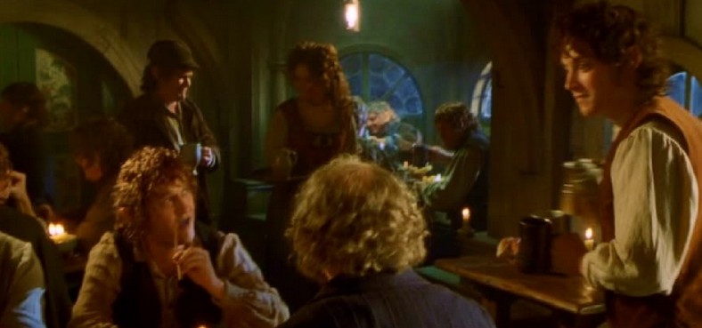
England: Where hobbits walk… – Walk through The Shire – The Cotswolds: Area of Outstanding Natural Beauty (Cotswolds 4) – 2016
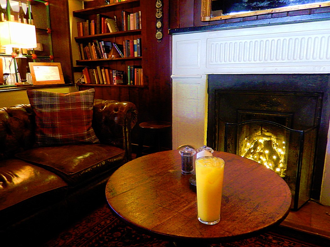
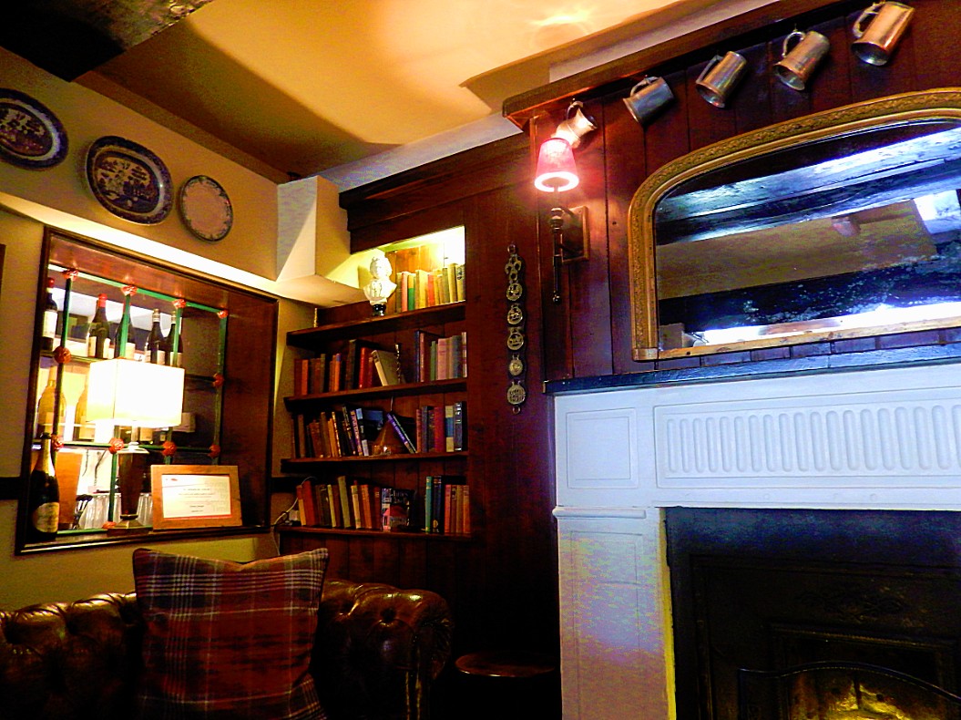
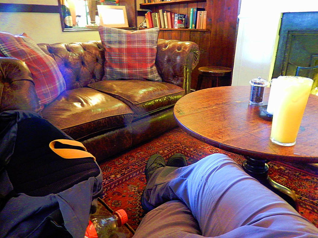
After a good night’s rest and a sturdy breakfast at the Green Dragon Inn in Cockleford, The Wandelgek started his 2nd walk through the Cotswolds, which would go through the Churn Valley…
Elevation and level
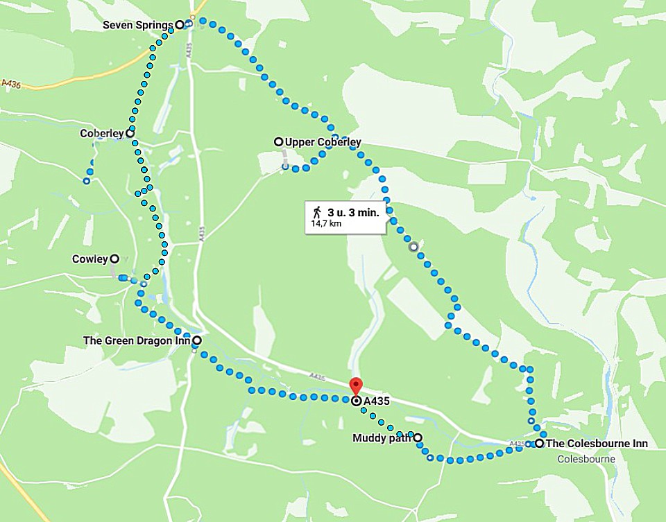
The walk was an approximately 15 kilometre walk with quite some height difference as shown in the diagram beneath…
The walk is relatively easy, but not for beginners, people with little children or disabled people. The walk is almost completely off road or on dirt roads, and only small pieces (mainly in the visited villages are on tarred roads.
Inns and pubs
There are opportunities for eating and drinking at the start and on the road in the villages, but not in between.
In Cockleford the walk starts at the Green Dragon Inn.
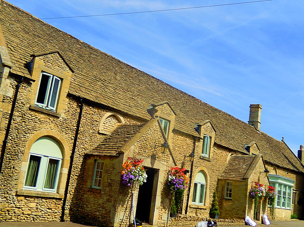
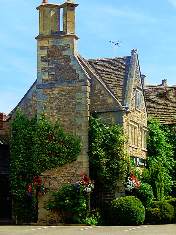
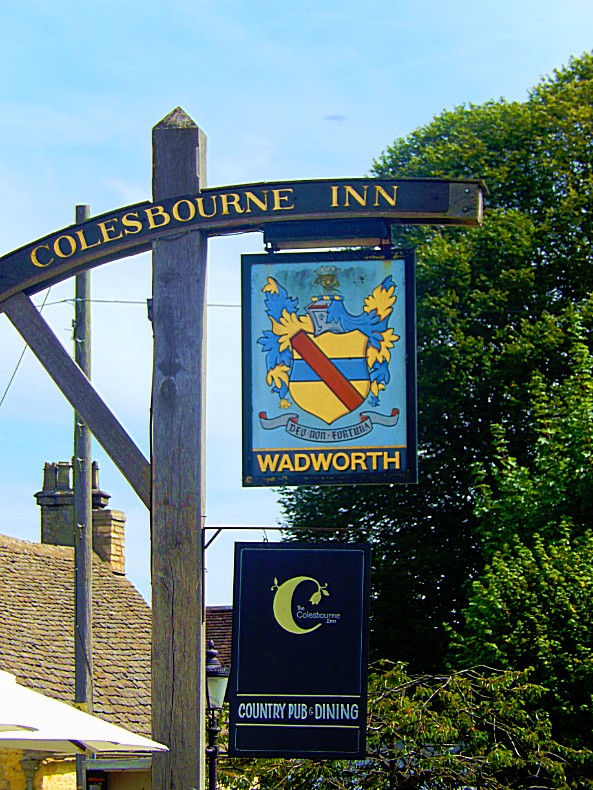
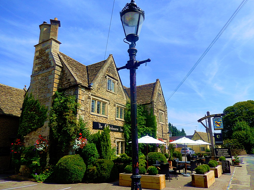
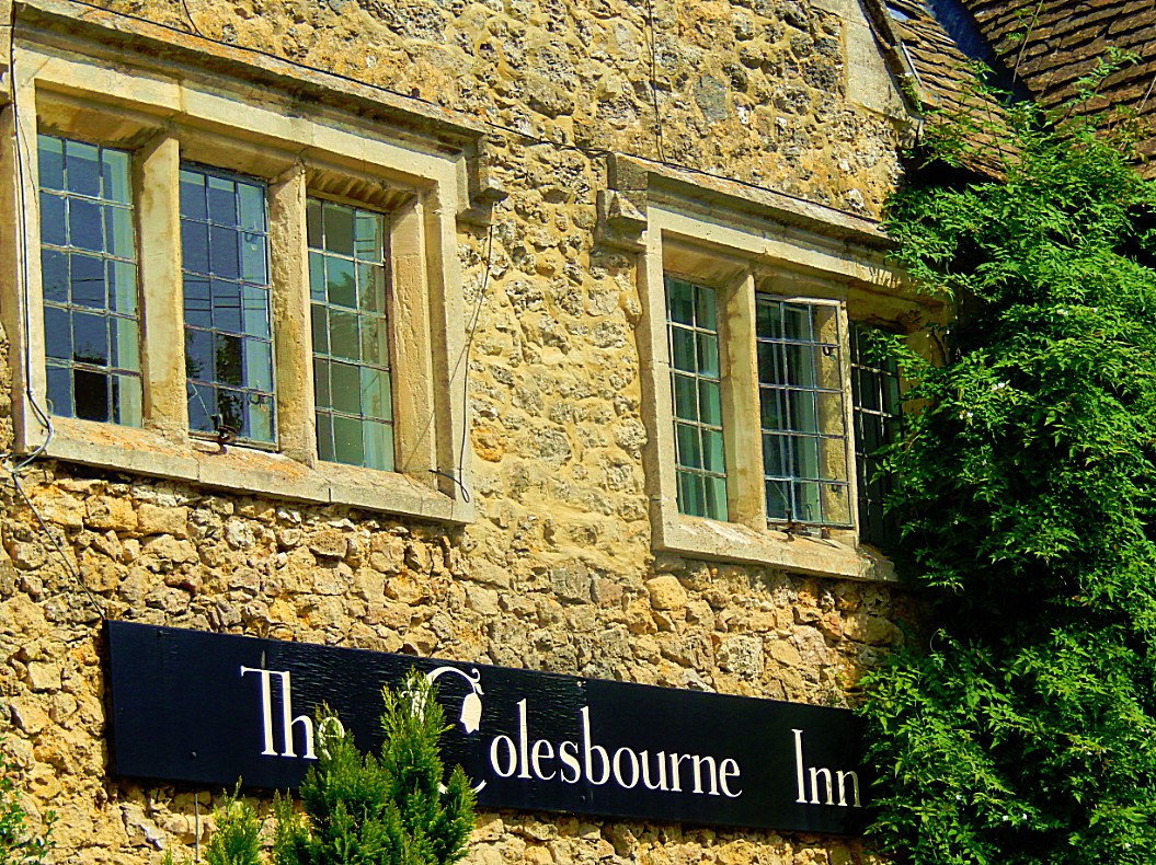
In Colesbourne you’ll find the Colesbourne Inn and in Seven Springs is the Seven Springs Inn.
In Upper Coberley and in Coberley I didn’t find an Inn or a pub.
Start of the walk
You can start this walk at all of the three Inns mentioned above, but this description starts at the Green Dragon Inn in Cockleford.
Then go right.
![]() Take the first lane on the left where you’ll see a “Cockleford, No through road”-Signpost and follow this road util it bends right in front of a house. Keep following this bend, first right than left. Follow this road until it bends right in front of a house.
Take the first lane on the left where you’ll see a “Cockleford, No through road”-Signpost and follow this road util it bends right in front of a house. Keep following this bend, first right than left. Follow this road until it bends right in front of a house.
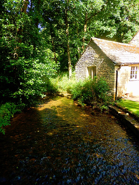
![]() There is an enclosed path turning left. The trail is signposted. Take that trail which turns left until you’ll reach a bridge over the River Churn.
There is an enclosed path turning left. The trail is signposted. Take that trail which turns left until you’ll reach a bridge over the River Churn.
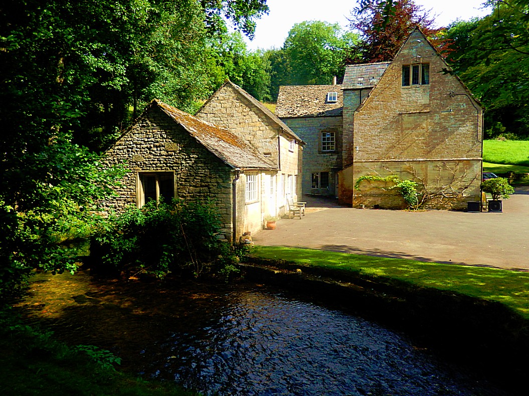
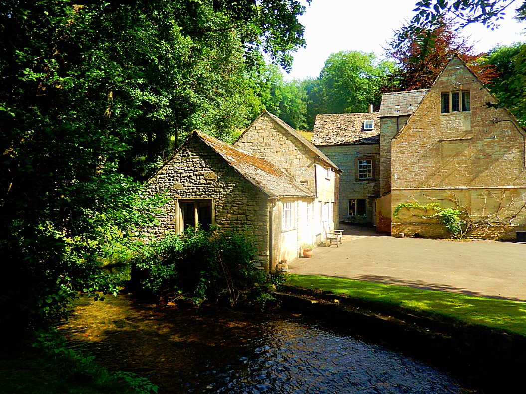
![]() On the other riverbank is the Cockleford Mill, which is now a private house. Respect the privacy of its owners.
On the other riverbank is the Cockleford Mill, which is now a private house. Respect the privacy of its owners.
![]() After having enjoyed the view over the River Churn and the Cockleford Mill, return to the signpost of the Public Path, before the house where you entered this path.
After having enjoyed the view over the River Churn and the Cockleford Mill, return to the signpost of the Public Path, before the house where you entered this path.
![]() Now face the house and follow the bend in the road to the right and just keep following the road until it changes into a dirt road.
Now face the house and follow the bend in the road to the right and just keep following the road until it changes into a dirt road.
Tolkien and the Cotswolds
My prime reason for visiting the Cotswolds, was because it is one of the main inspirations for his invention of The Shire in The Hobbit and in The Lord of the Rings. Actually the influence on those books is broader than exclusively Shire related.
Tolkien was before all a brilliant philologist. Philology is the study of language in oral and written historical sources; it is a combination of literary criticism, history, and linguistics. Philology is more commonly defined as the study of literary texts as well as oral and written records, the establishment of their authenticity and their original form, and the determination of their meaning. A person who pursues this kind of study is known as a philologist.
In older usage, especially British, philology is more general, covering comparative and historical linguistics.
When Tolkien wrote The Hobbit, The Lord of the Rings and his older mythology The Silmarillion, he invented a complete new world with characters, places, plants, animals, creatures, rivers, mountains, food, inns, forests, countries, peoples and races and languages. And these languages are key. Every river, village, inn, character, mountain, lake, flower or hill he invented got named in at least one and sometimes more languages. Tolkien used lots old norse, finlandic and icelandic names because he was very interested in legends from these countries, like the Edda, Volsung saga and Kalevala, but he also used lots of old English names. And here it gets interesting, because lots of these names can still be found in the current English country side.
Starting with the name The Shire, which can befound in all of the names of the counties that form the Cotswolds. Gloucestershire, Warwickshire, Oxfordshire, Wiltshire and Worcestershire. Only exception is Somerset.
Than there’s the second part of the name Cotswolds. The word Wold can be found in on Tolkiens maps as The Wold In Rohan. In The Cotswolds, the word is also found in a placename: Stow-on-the-Wold.
Another word that I saw more than once was Combe. There was the village of Combe with a railway station, which I had passed on my train journey from Oxford to Morton-in-Marsh but the name also returns in the name of a village on top of a hill above Evenlode valley (strange because combe means valley) and in the name of Combe Castle.
Another part of a word that made me think of Tolkien’s Lord of the Rings was the word part Lode, which Tokien used in the name of the River Silverlode, a tributary river of the great river Anduin, flowing through Lothlorien. In the Cotswolds are both a river and a village carrying the name Evenlode.
 About Tolkien walking in the Cotswolds
At the end of 1945 those of the friends tat could gathered and celebrated a “Victory Inklings”. They made themselves at home in a pub called “The Bull” at Fairford, in the Cotswolds hills of Glocestershire, one of Lewis’s favorite regions. The celebration lasted four days in December, and the party included Lewis and his brother Warren, Tolkien and, some of the time, Dr. Harvard. The depleted group made the best of the “jaunt”. The first day Warren Lewis spent walking with Tolkien before the others arrived. Warren recorded events in his diary, including walks, conversation, quiet reading and moments touched by another world. They were able to dream of the future, which seemed much more hopeful in the joyful absence of world war. He noted late one evening:
“On Thursday…[i]n the afternoon we walked through Horcott and Whelford… Whelford, a mere Hamlet, has a simple little Church where all felt that God dwells; nothing to “see” in it. There, to my surprise and pleasur, Tollers said a prayer. Down on the river was a perfect mill house where we amused ourselves by dreaming of it as a home for The Inklings”.
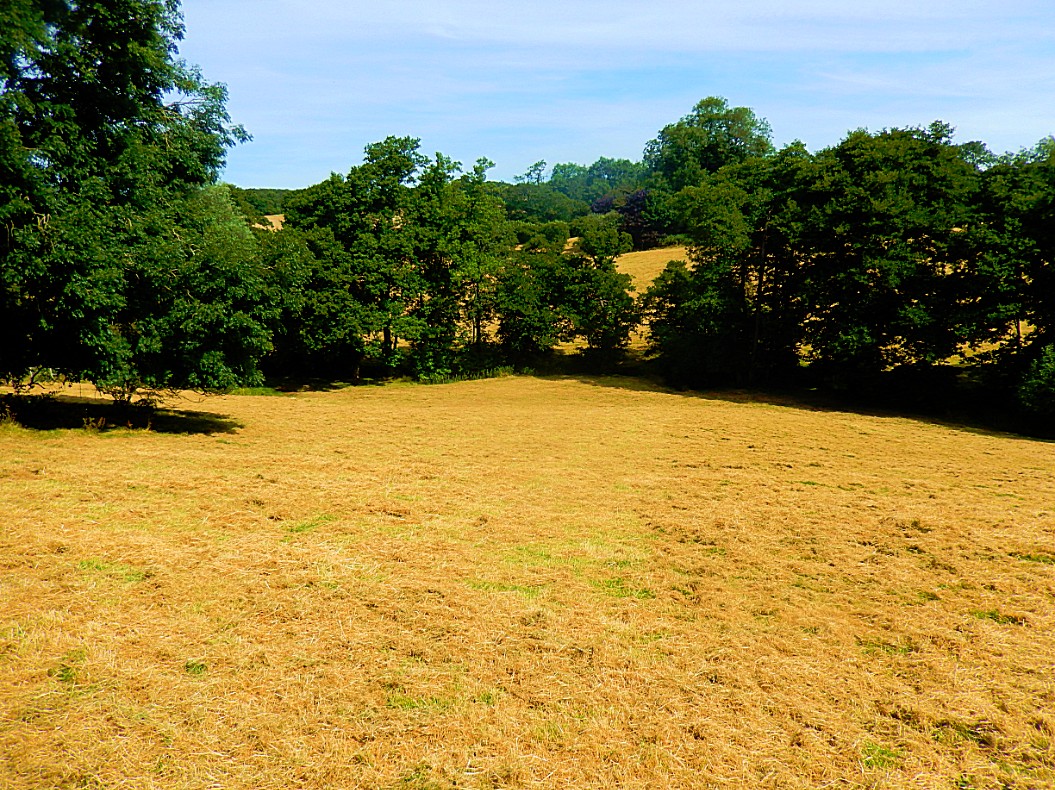
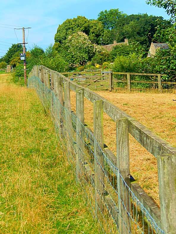
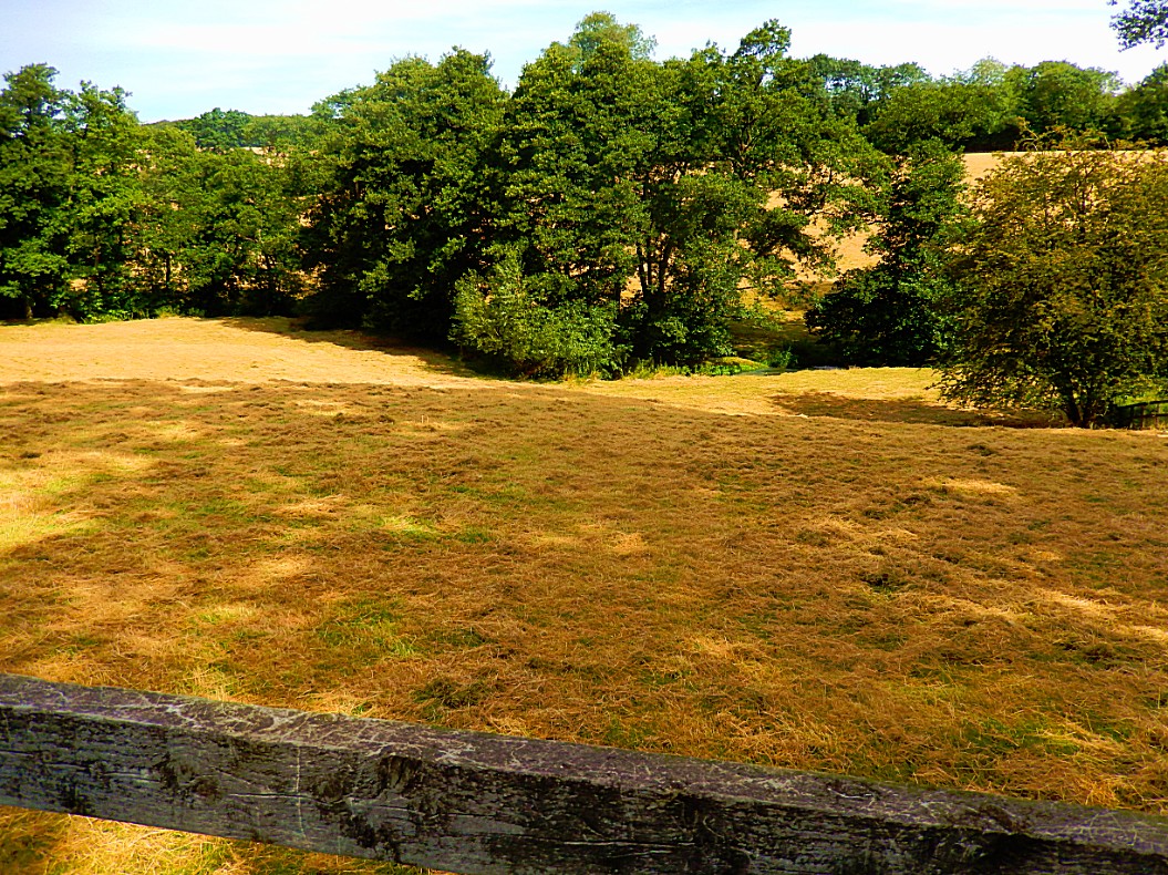
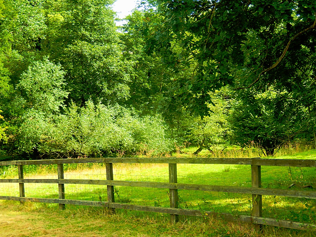
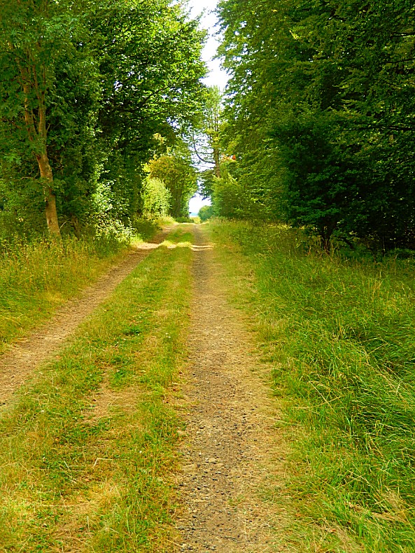
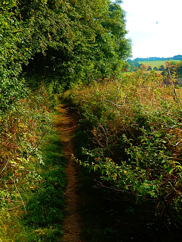
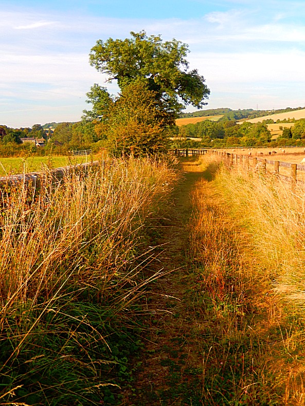
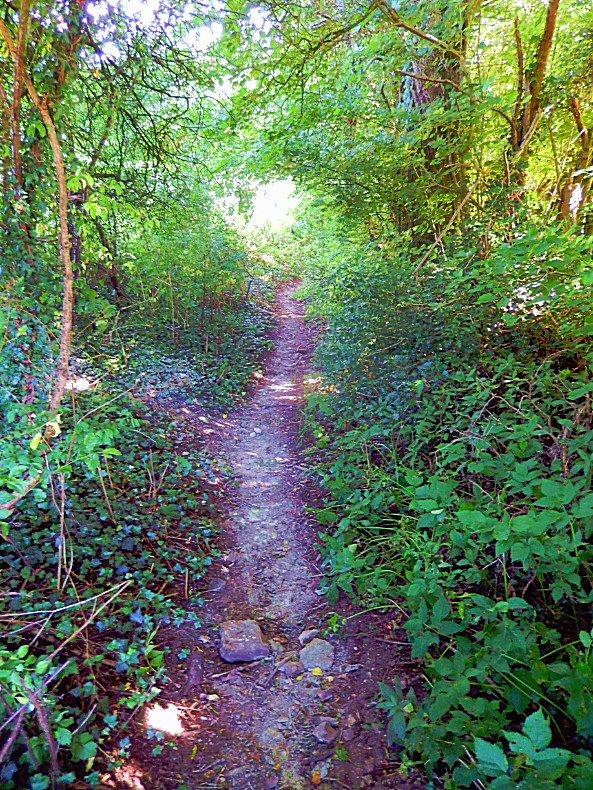
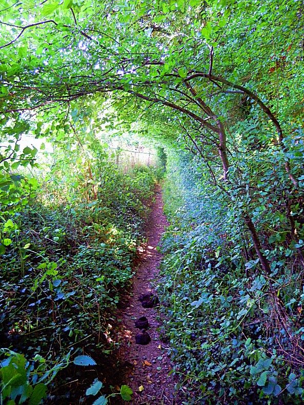
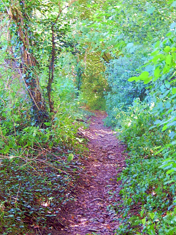
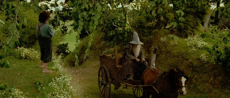
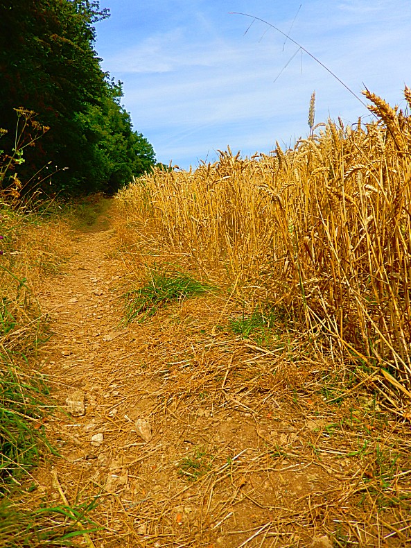
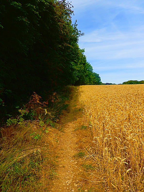
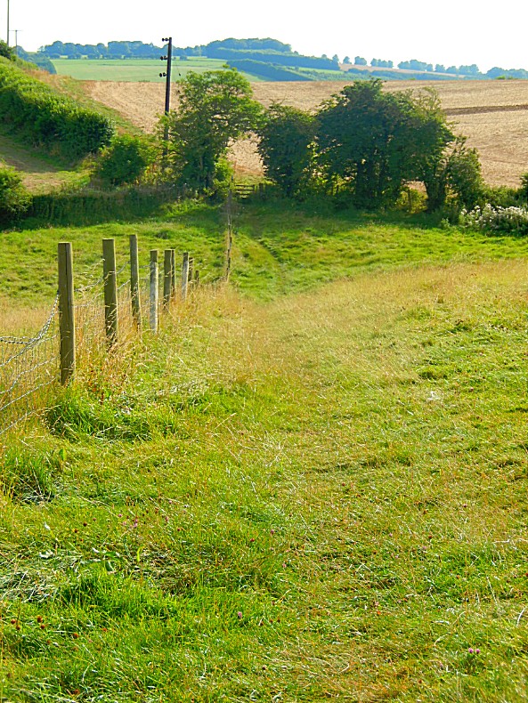
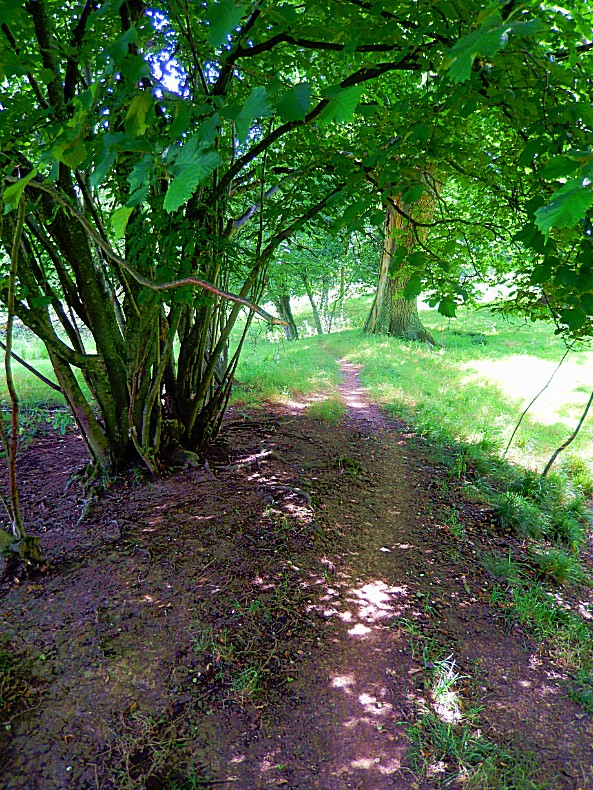 Walking on paths like the one above made me listen for Gandalf approaching on his wagon, singing a walking song 🙂
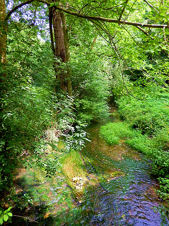
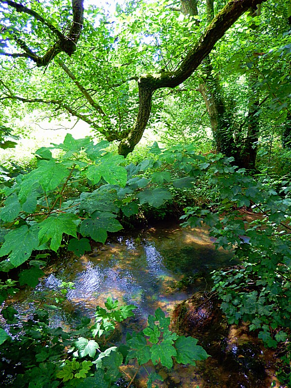
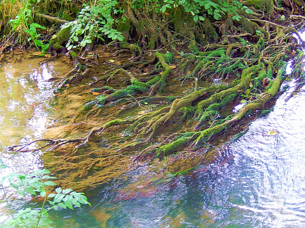
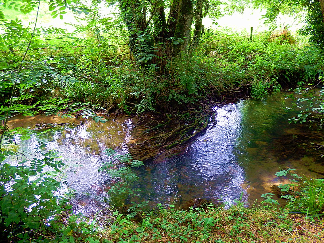
River Churn
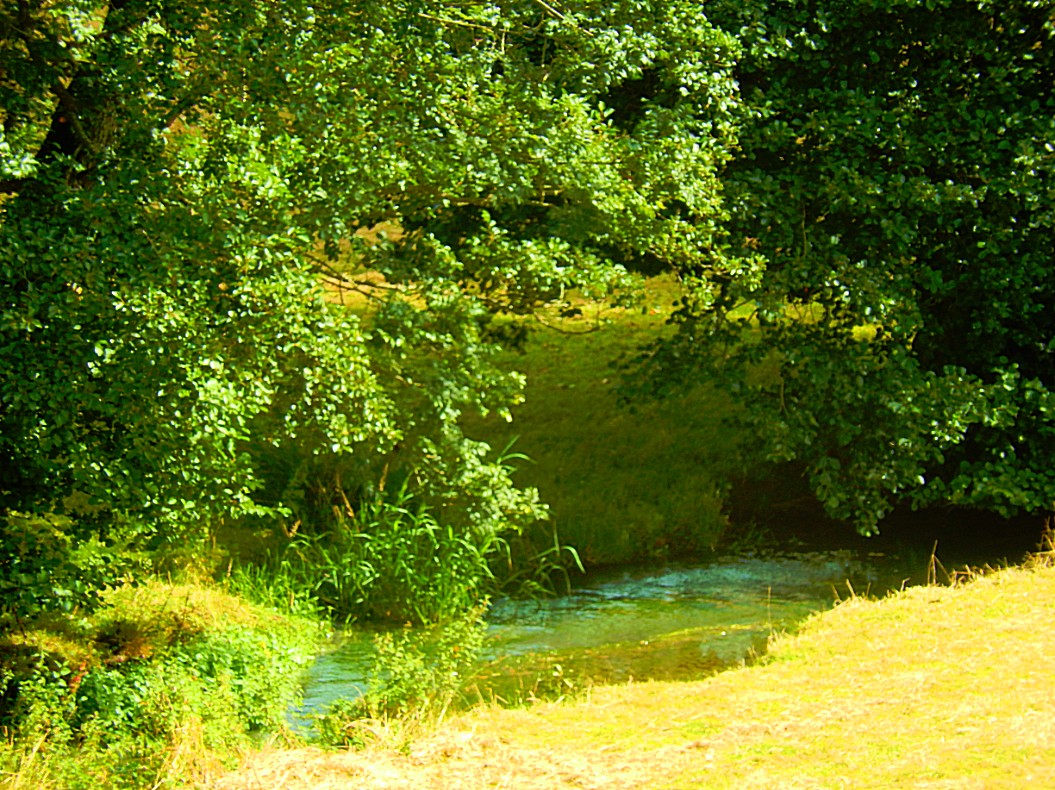
The River Churn is the first tributary river of the River Thames. It rises in the Cotswolds at Seven Springs near Cheltenham, Gloucestershire, England and flows south across the Cotswold dip slope, passing through Cirencester and joining the Thames in the parish of Cricklade in Wiltshire. Its length from source to confluence with the Thames is considerably greater than that of the Thames from Thames Head; its flow is also more consistent than the winterbourne Thames, but the Churn is regarded as a tributary historically and therefore by most geography guides. The length of the Churn is approximately 25 kilometres. It is classed as a main river and thus falls under the jurisdiction of the Environment Agency as opposed to the local authority.
The name Churn is ancient, certainly pre-Roman and probably has its origins in the Celtic language, spoken by the Dobunni tribe, who controlled the area before the Roman conquest in the 1st century. The original name may have sounded similar to Korinn. It has been suggested that the origin of the word is associated with the ancient British Cornovii tribe.
Cognate names and name elements from the area are Cerney, Ciren and Corin as found in the settlement names of North Cerney, Cirencester, South Cerney, and Cerney Wick in the south of South Cerney. Cirencester’s original recorded name of Corinium Dobunnorum also shares this root. All these places adjoin the River Churn. The Churn and the Thames feed the waters of a western bisection of the Cotswold Water Park, converted redundant gravel beds between Cirencester and Cricklade.
Much of the catchment basin of the Churn is known to have been an important area of Roman settlement in the second to fourth centuries AD.
As of the year 2006 the national government is engaged in a planning study to analyse methods of mitigating future flooding associated with the River Churn. However, at times the River Churn is known to stop flowing completely; in September 2011 the river bed was completely dry at Latton.
![]() Keep following this dirt road parallel to the River Churn to the left until the trail leaves the river and bends slightly to the right, to pass through a field towards a farm house which is passed on the right. You’ll reach a tarred road coming from the farm. Follow it away from the farm and neglect the trail to the right (Muddy path) and a no through road to the right going to another farm.
Keep following this dirt road parallel to the River Churn to the left until the trail leaves the river and bends slightly to the right, to pass through a field towards a farm house which is passed on the right. You’ll reach a tarred road coming from the farm. Follow it away from the farm and neglect the trail to the right (Muddy path) and a no through road to the right going to another farm.
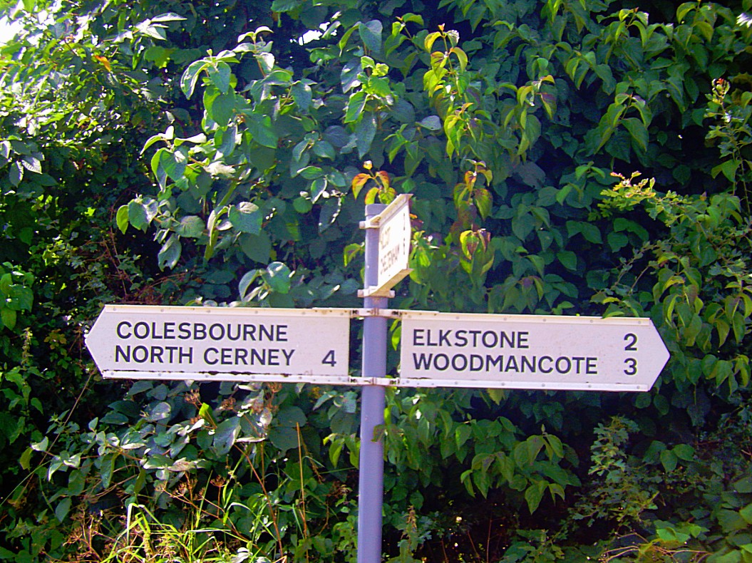
![]() Keep following the road until you reach another tarred road going to the left and a signpost mentioning Colesbourne.
Keep following the road until you reach another tarred road going to the left and a signpost mentioning Colesbourne.
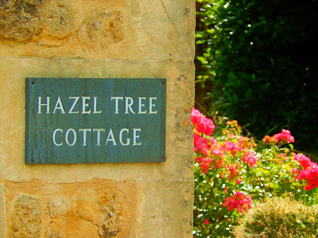
![]() Neglect the road to the left and pass the 1st house on the right (Hazel Tree Cottage).
Neglect the road to the left and pass the 1st house on the right (Hazel Tree Cottage).
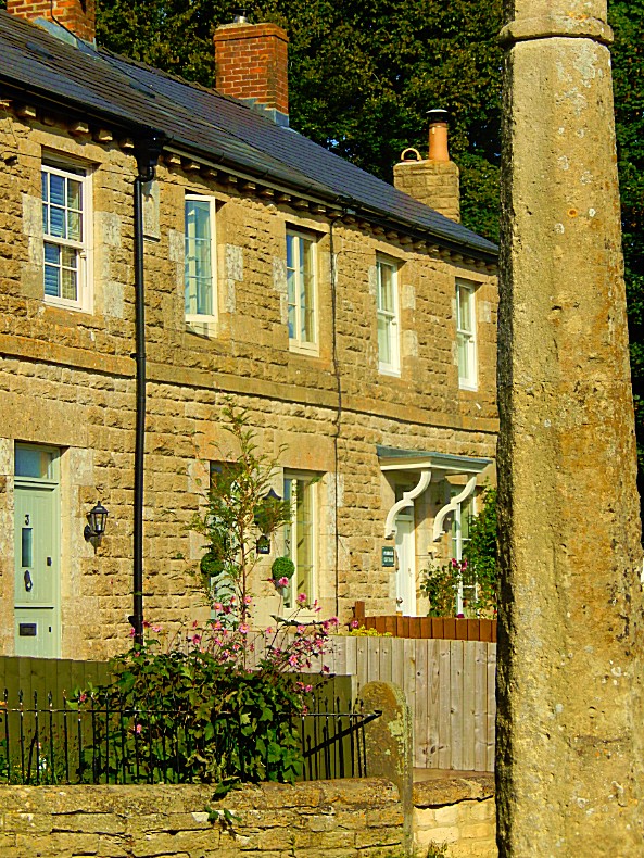
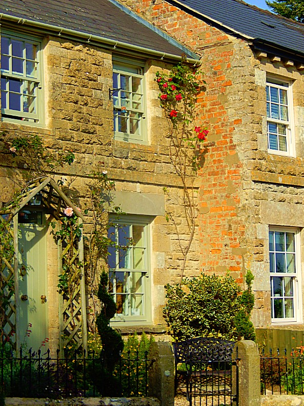
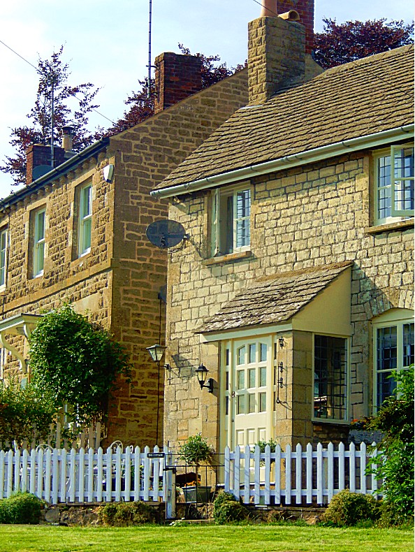
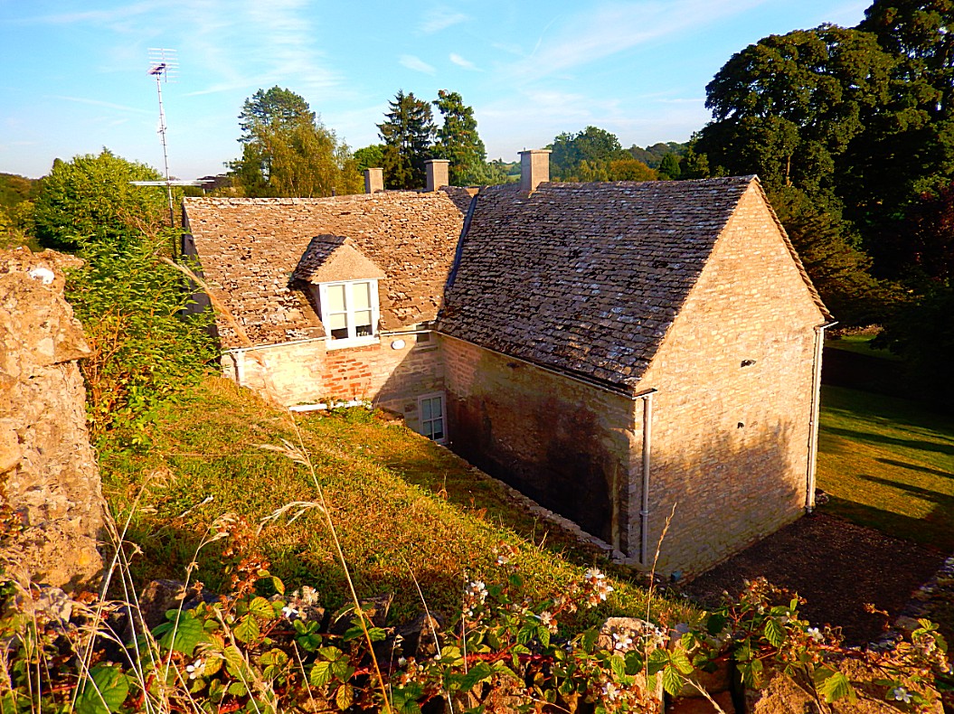
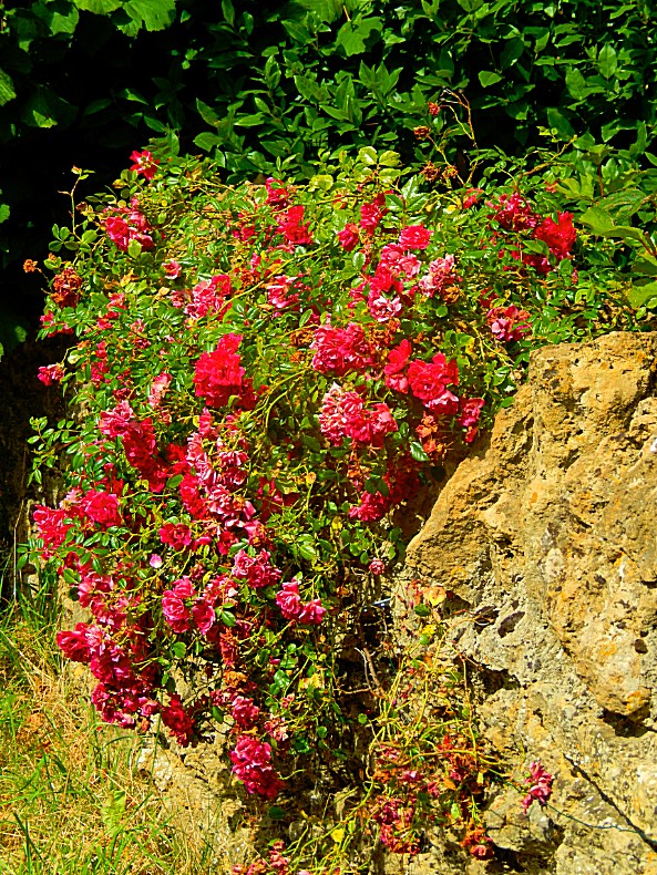
Who doesn’t want to live in a cottage like this and have a gardener like Sam to look after the flowerbeds?
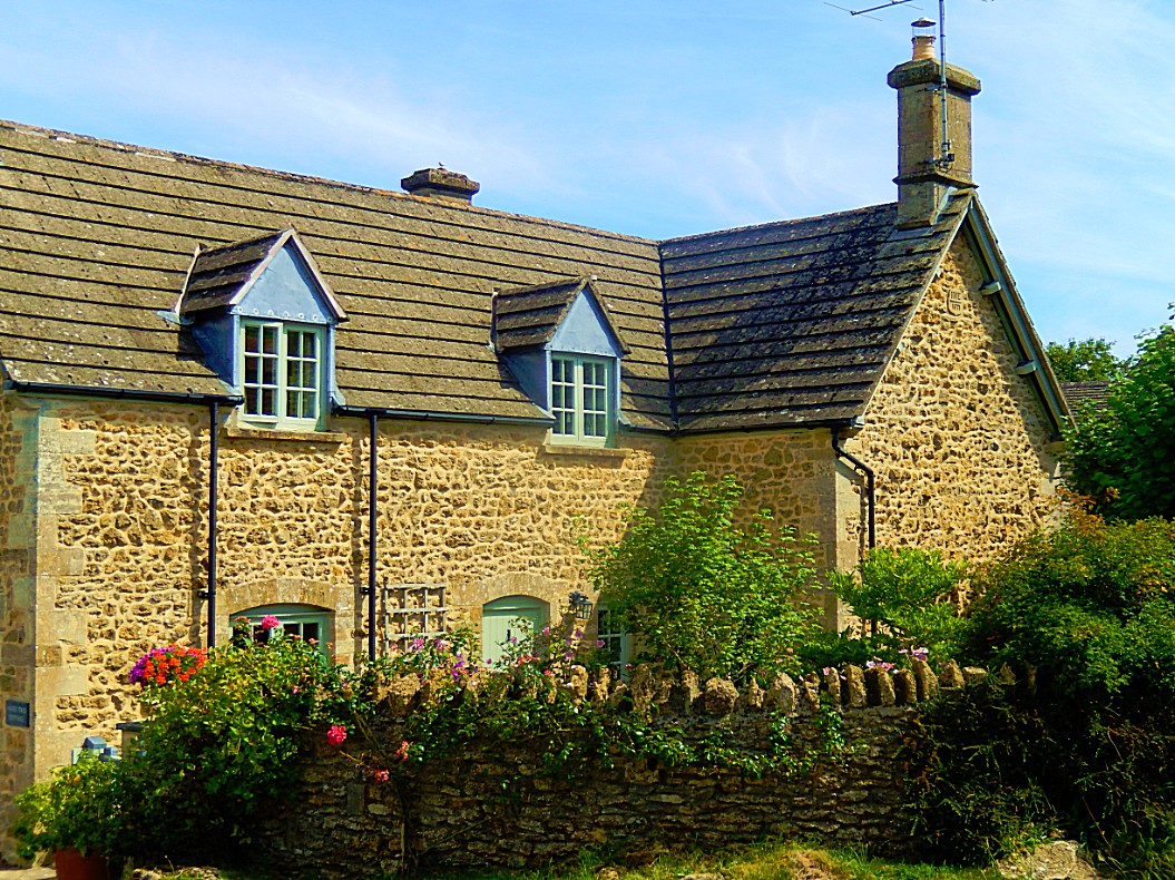
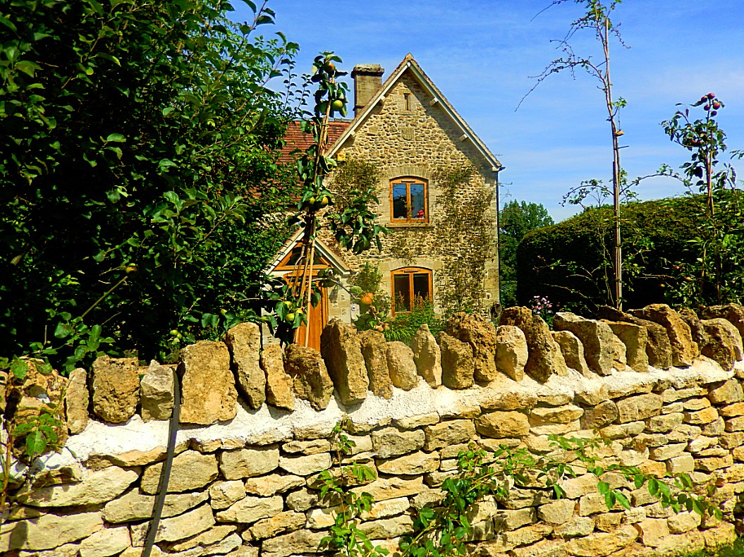
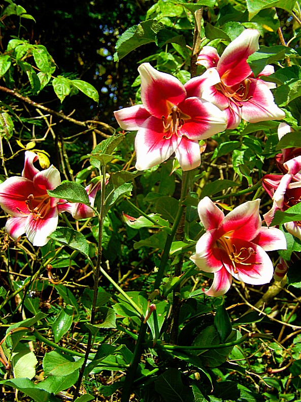
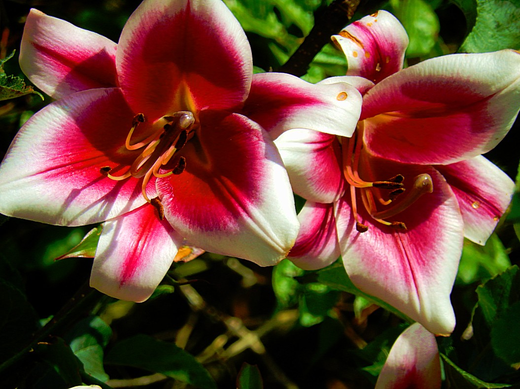
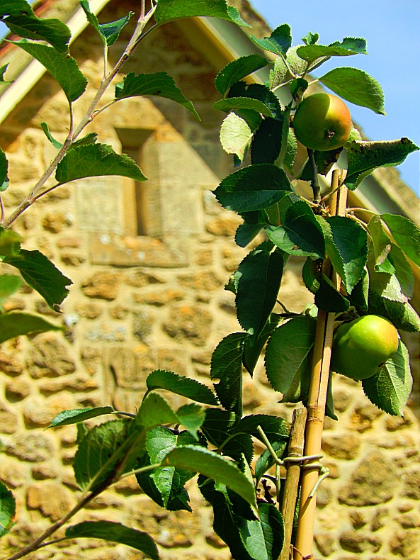
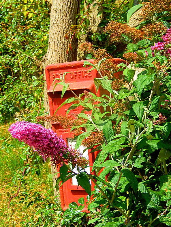
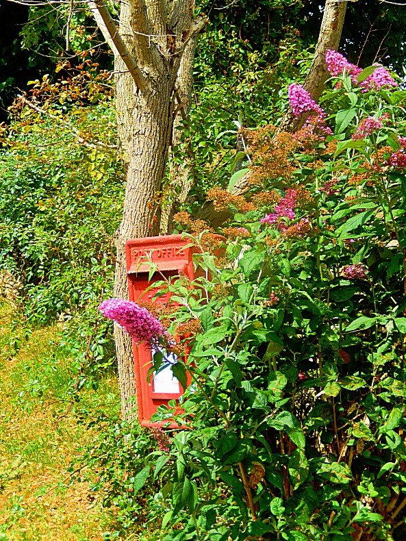
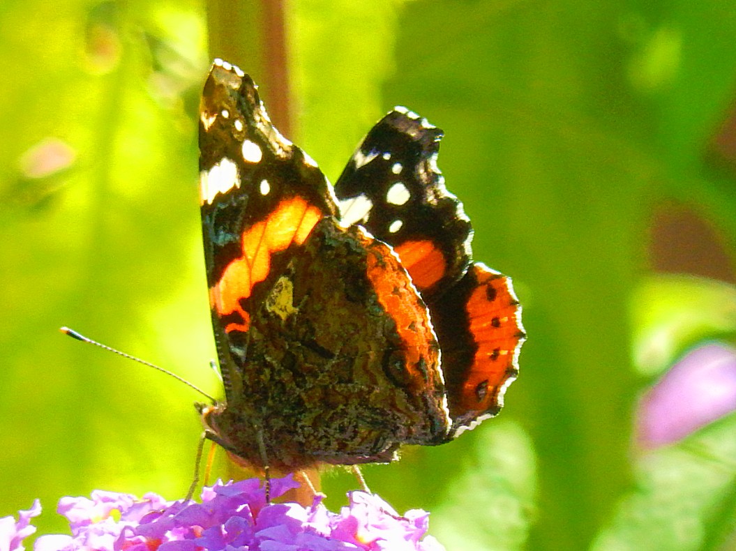
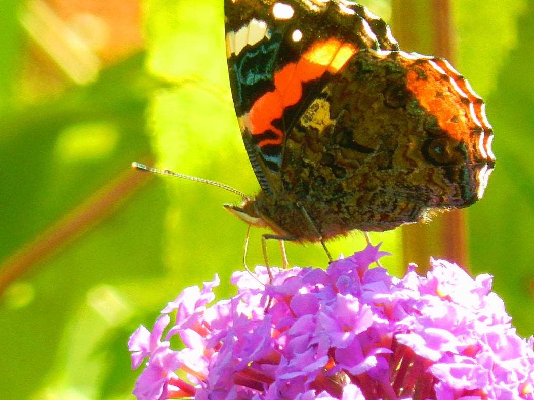

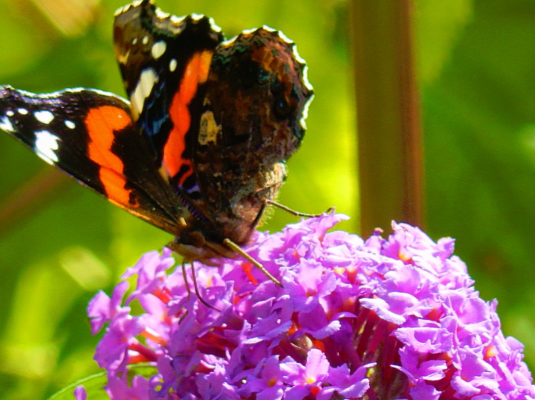
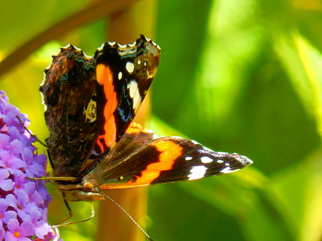
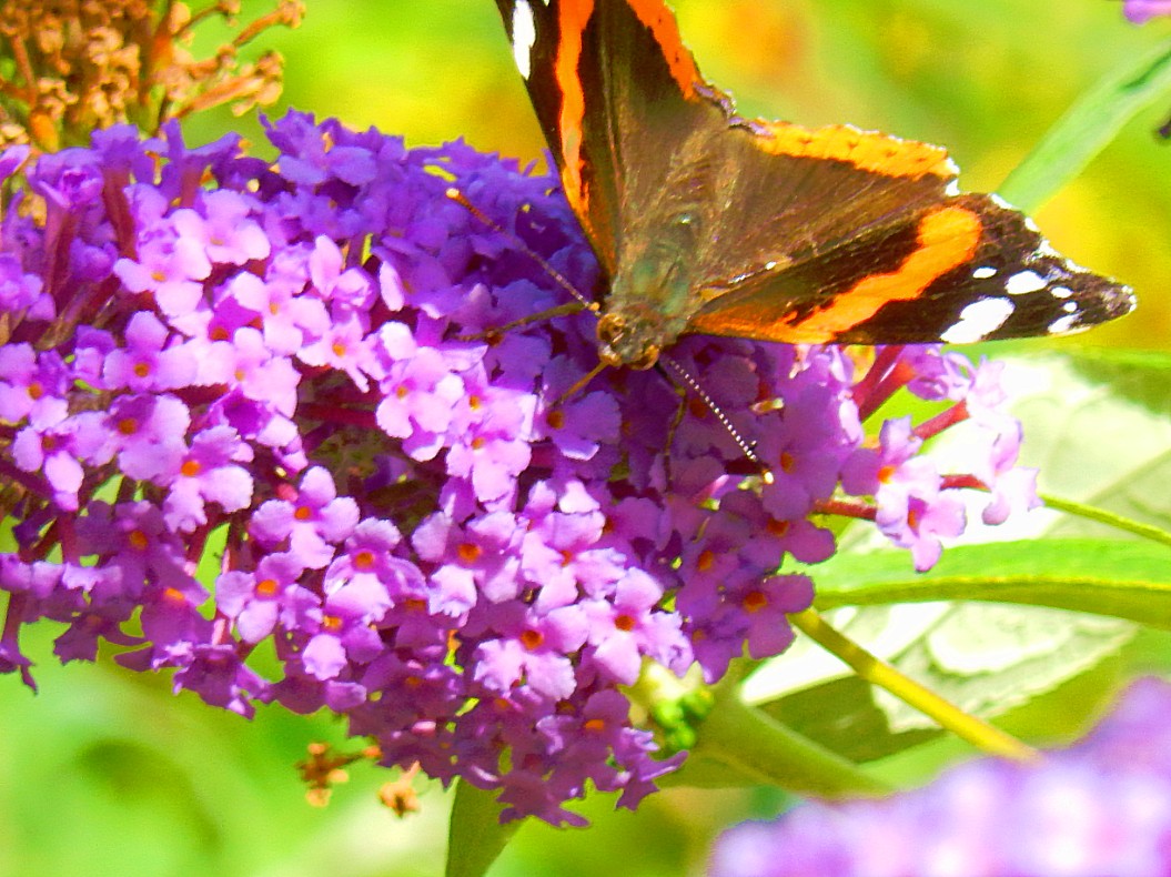
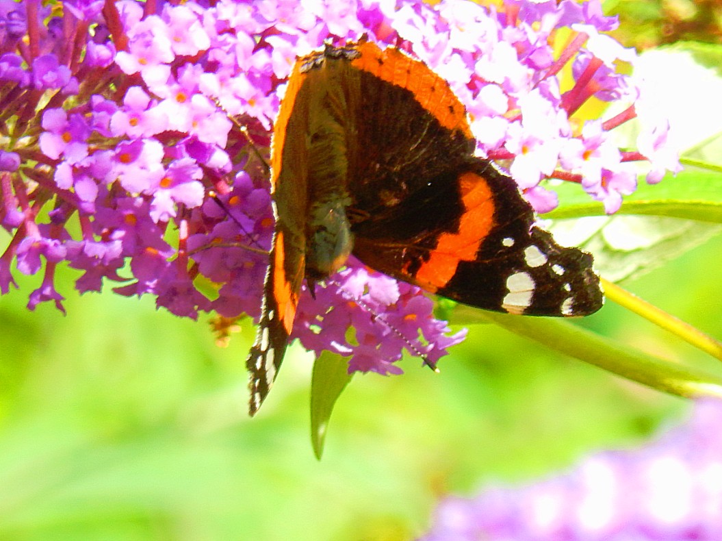
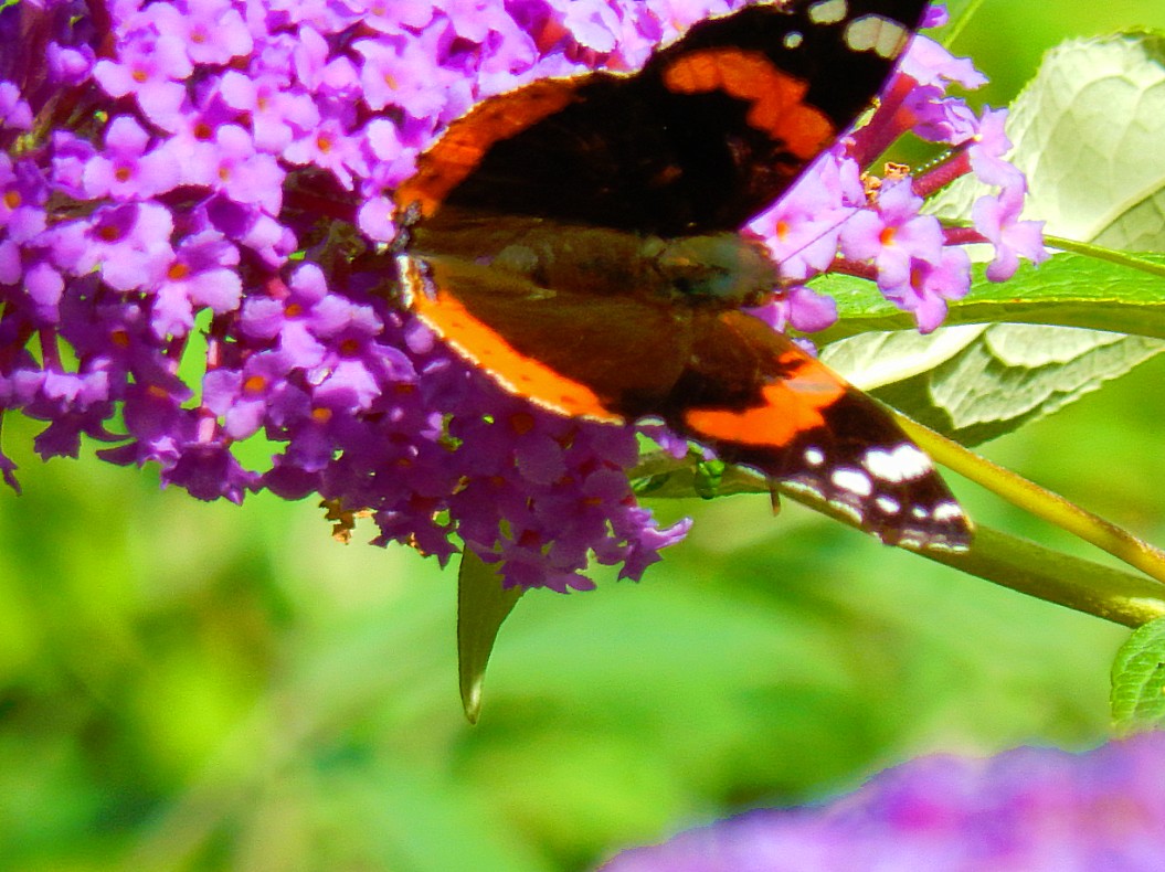
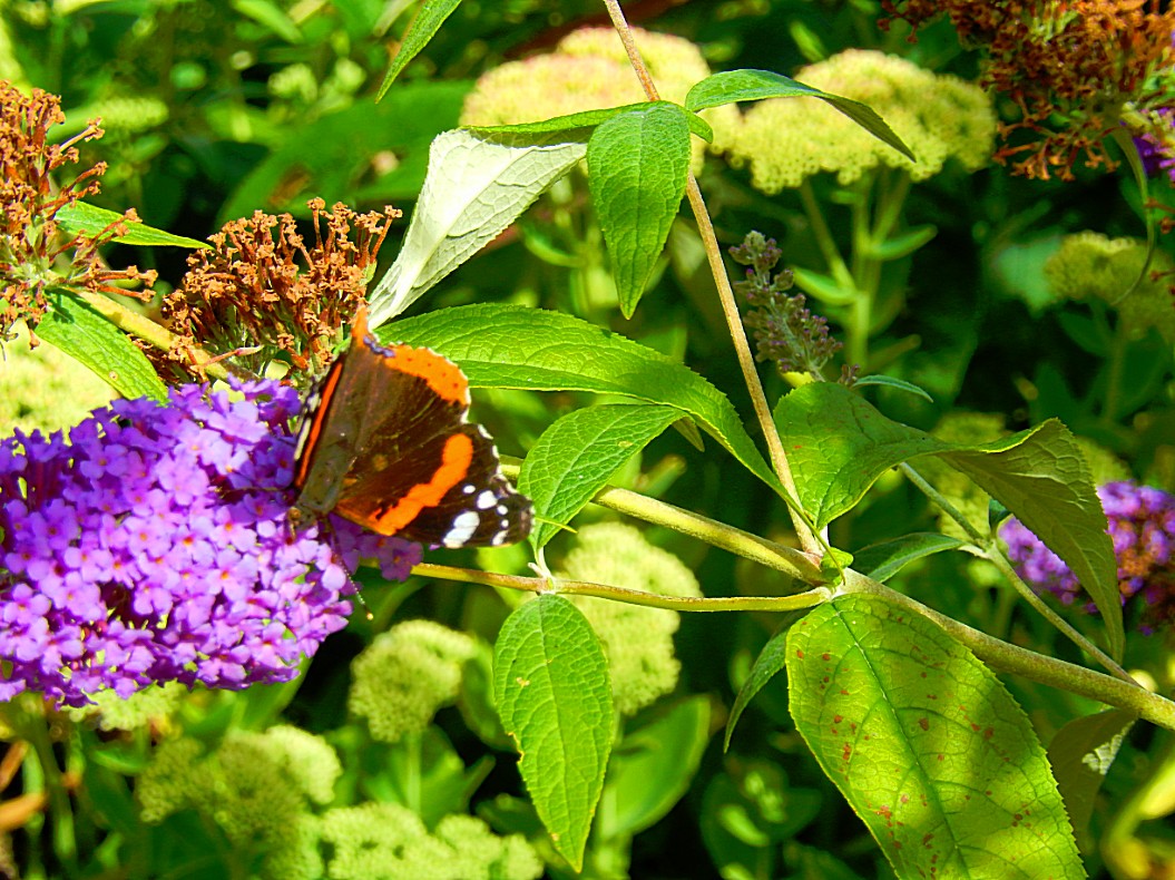
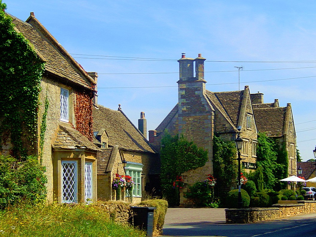
![]() Keep following the road passing some cottages and houses (which are the first houses of the little village of Colesbourne), until you reach a main road. Go right until you get to the Colesbourne Inn on the left of the road.
Keep following the road passing some cottages and houses (which are the first houses of the little village of Colesbourne), until you reach a main road. Go right until you get to the Colesbourne Inn on the left of the road.
Colesbourne
Colesbourne, a small rural parish lying 12 km. SSW. of Cheltenham, covers 890 ha. (2,198 a.) and is irregular in shape. The river Churn runs across the middle of the parish before turning southwards to form part of the eastern boundary, the rest of which is formed by Hilcot brook, a tributary called Lyde brook in the 18th century and early 19th; in a Saxon survey of an estate in Withington the river above the confluence was apparently called the Colesbourne, the name Churn being used for Hilcot brook. On the west the parish is bounded by the river and streams but elsewhere by field boundaries
The Colesbourne Inn
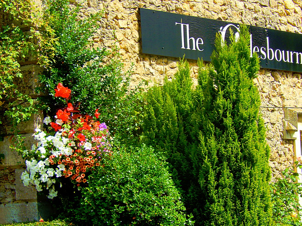
The Colesbourne Inn is an old coaching Inn of the Colesbourne Estate dating back to 1827. Located midway between Cheltenham and Cirencester, it is ideally situated for visiting many of the beauty spots for which the Cotswolds are famous.
After a lunch and some refreshment The Wandelgek left the Colesbourne Inn…
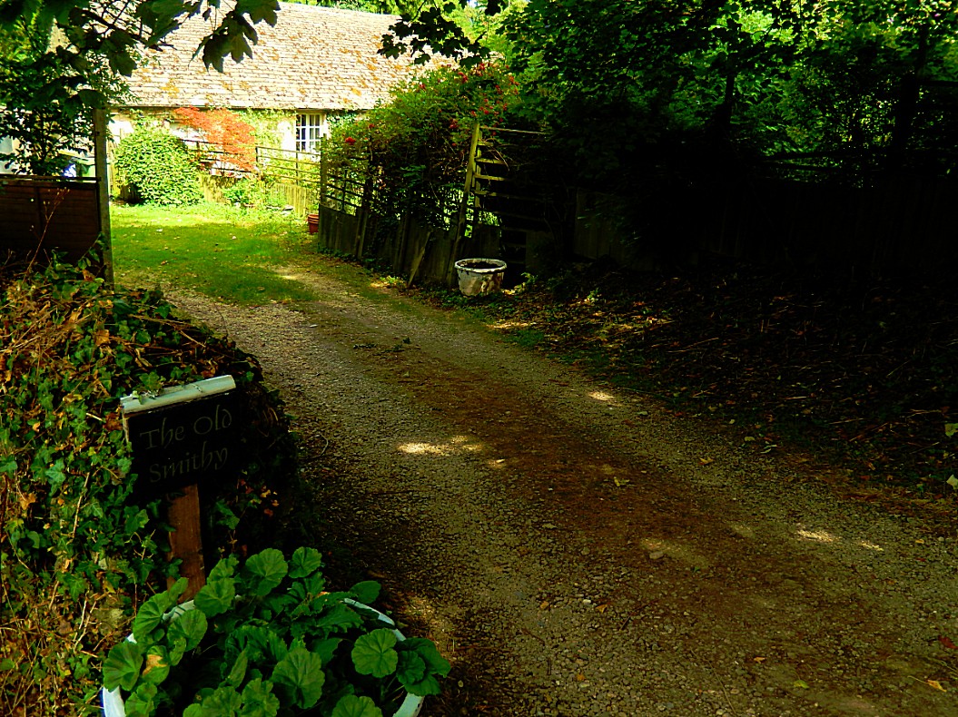
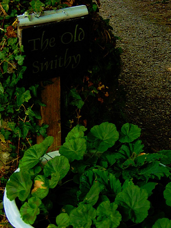
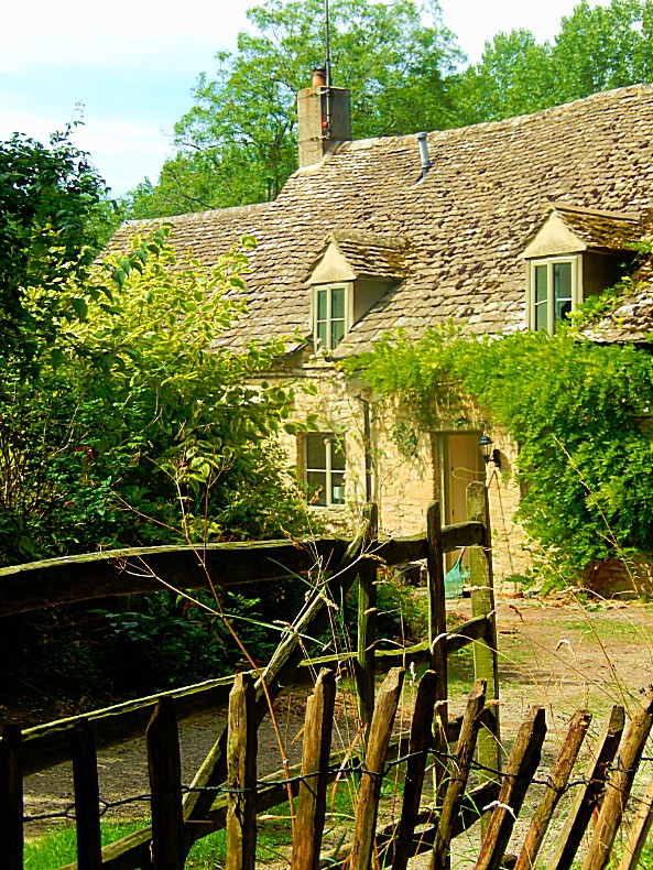
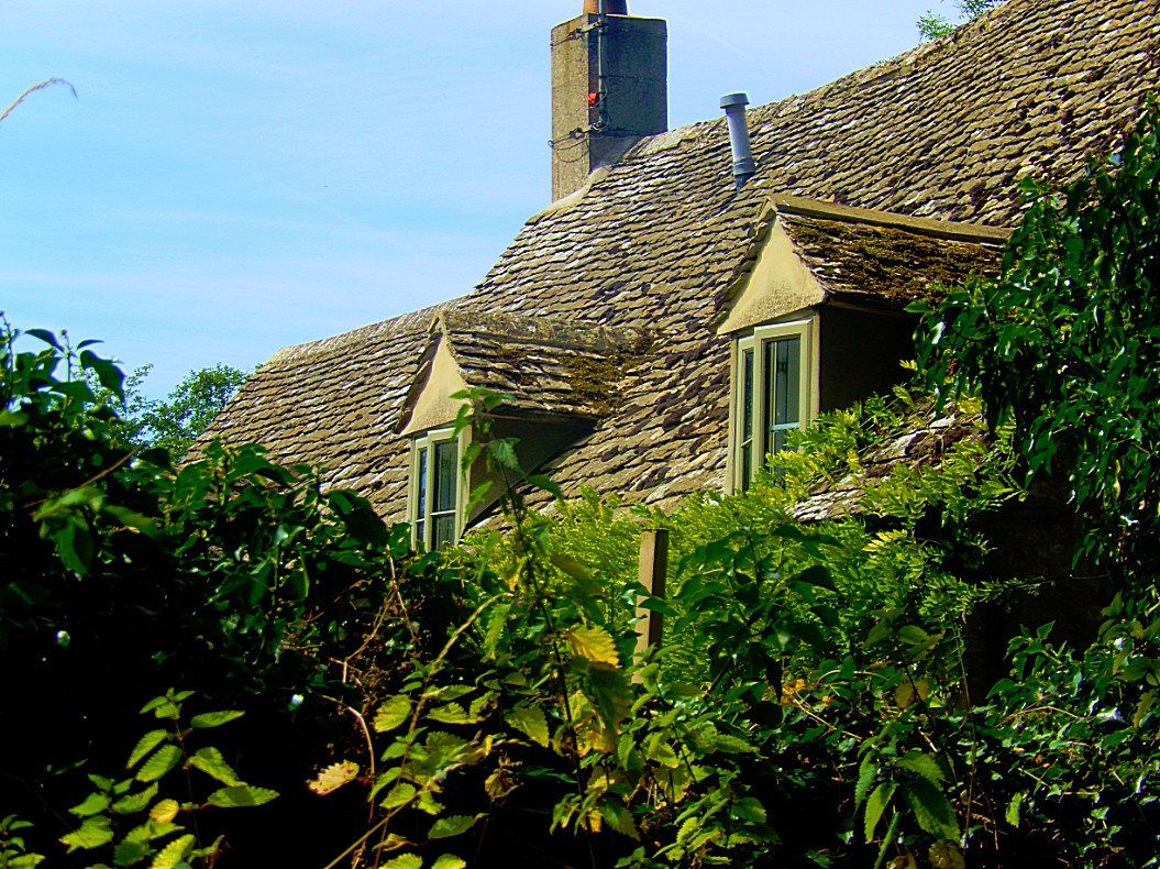
![]() Facing the Colesbourne Inn, turn right and turn left into the first street immediately after the Colesbourne Inn, that runs down the side of the car park until you reach The Old Smithy, a beautiful old cottage, on the right, from where the road onwards gets narrower.
Facing the Colesbourne Inn, turn right and turn left into the first street immediately after the Colesbourne Inn, that runs down the side of the car park until you reach The Old Smithy, a beautiful old cottage, on the right, from where the road onwards gets narrower.
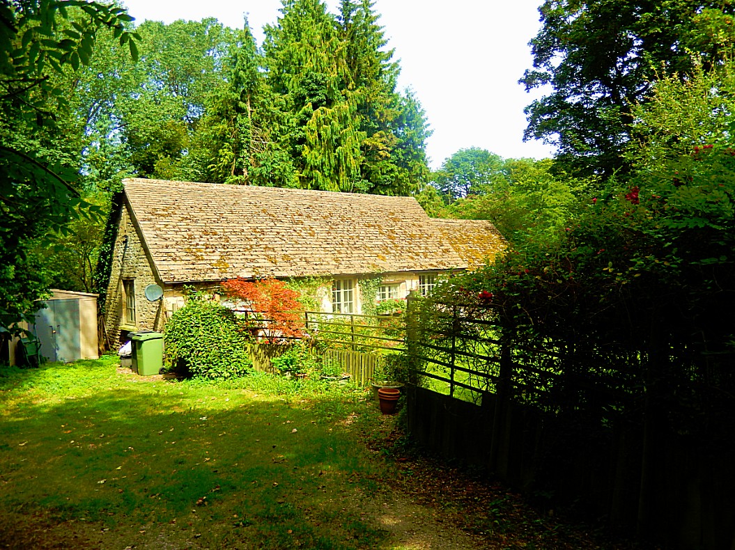
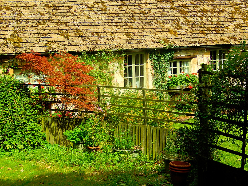
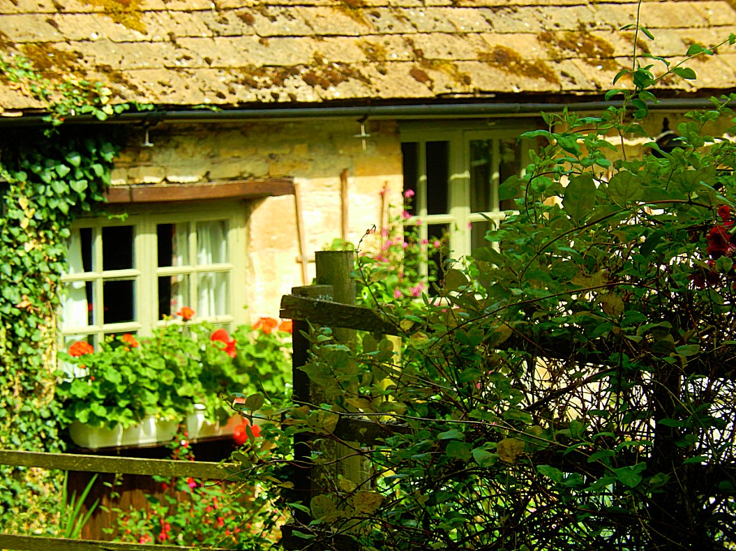
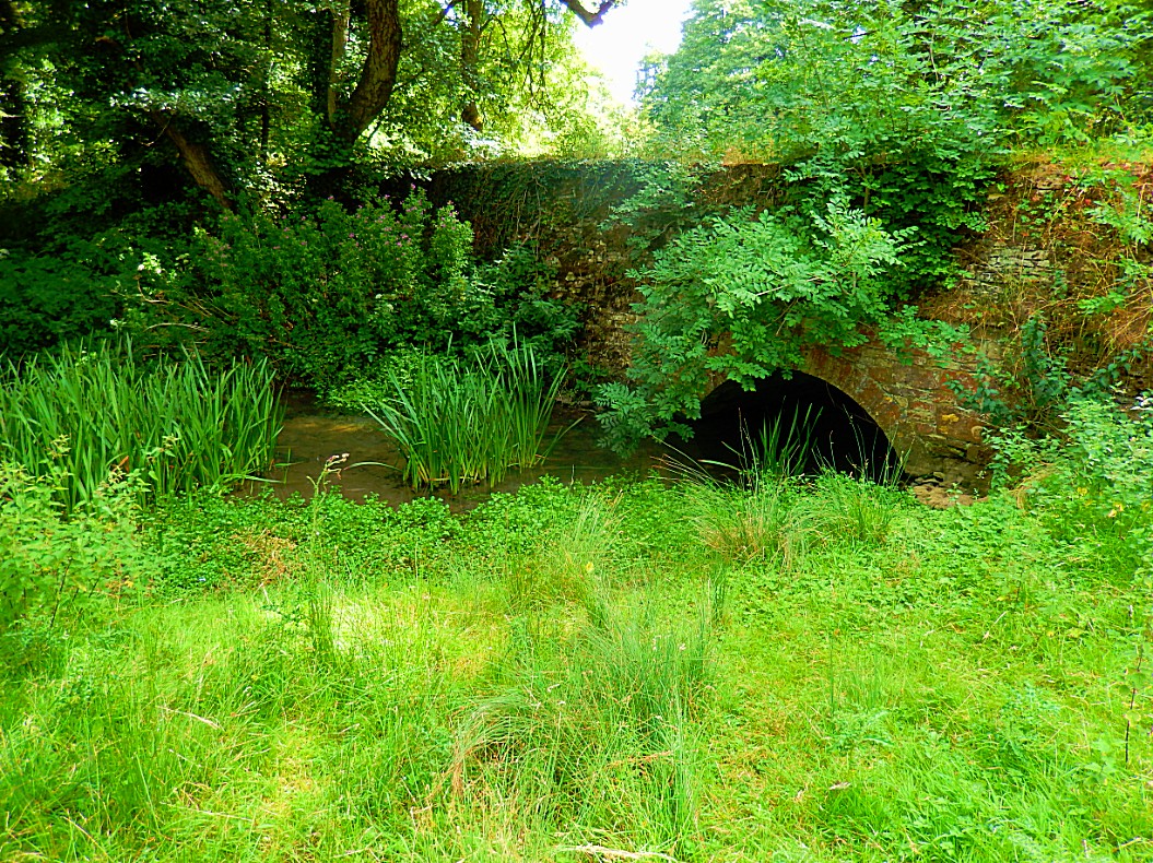
![]() Follow this lane down to the River Churn where you go over a small bridge…
Follow this lane down to the River Churn where you go over a small bridge…
t![]() Then the track sweeps right and up towards a house (a converted row of cottages). Continue past the house onto a grass path up the slope with a post and rail fence on your left. Follow this path to a 5-bar gate. You will see the blue arrow on the right hand post indicating that this is a bridle way.
Then the track sweeps right and up towards a house (a converted row of cottages). Continue past the house onto a grass path up the slope with a post and rail fence on your left. Follow this path to a 5-bar gate. You will see the blue arrow on the right hand post indicating that this is a bridle way.
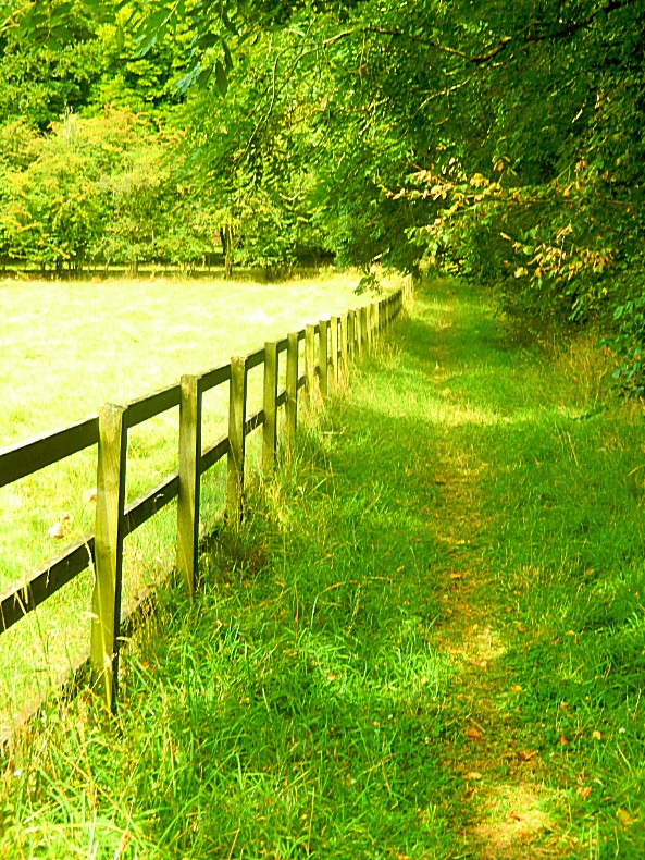
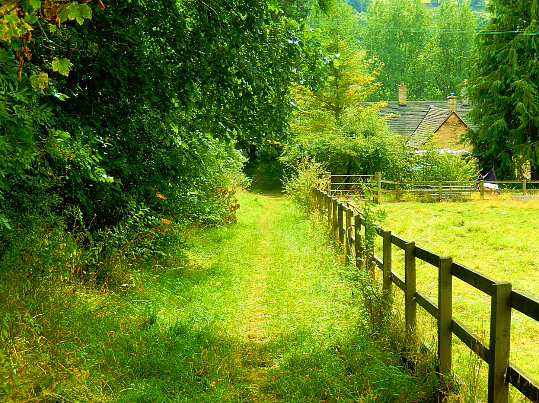
![]() Turn right and then left to go up the field with the field boundary on your left until you come to a metal gate on your left, which has a blue arrow on the left hand post.
Turn right and then left to go up the field with the field boundary on your left until you come to a metal gate on your left, which has a blue arrow on the left hand post.
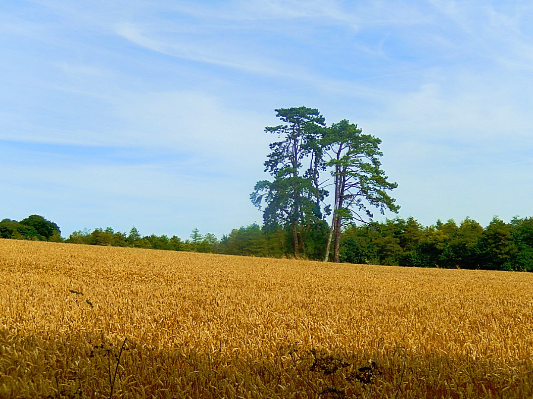
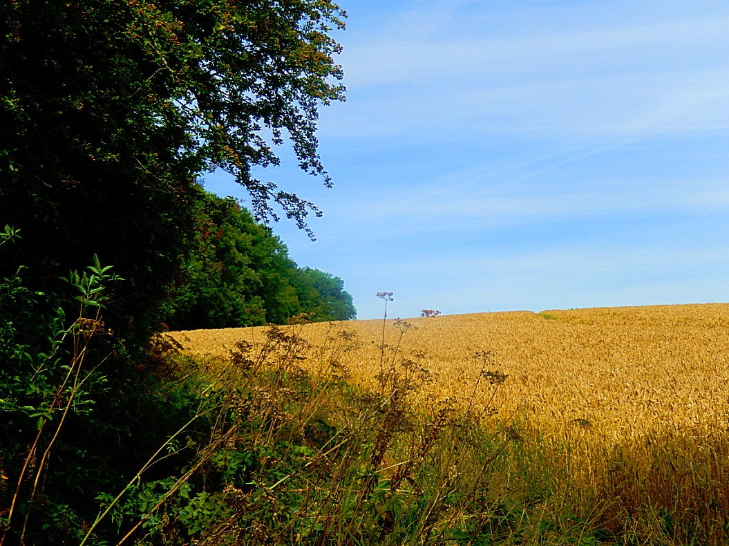
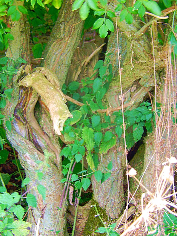
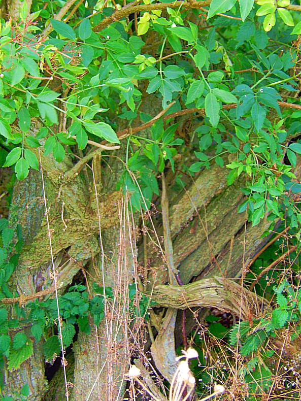
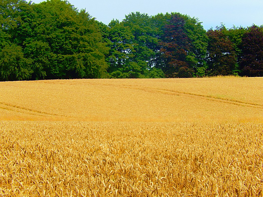
![]() Go through the gate into a pretty wooded track, which brings you out onto the Hilcot lane between two stone pillars.
Go through the gate into a pretty wooded track, which brings you out onto the Hilcot lane between two stone pillars.

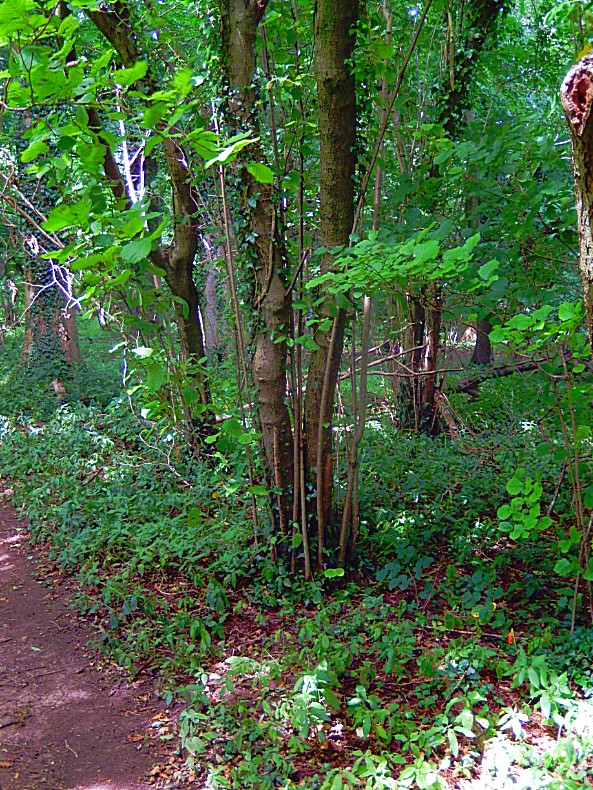
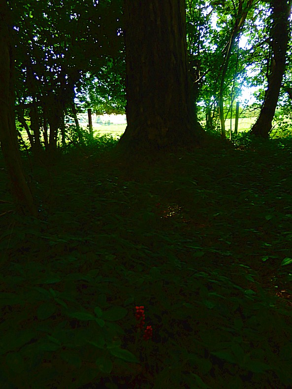
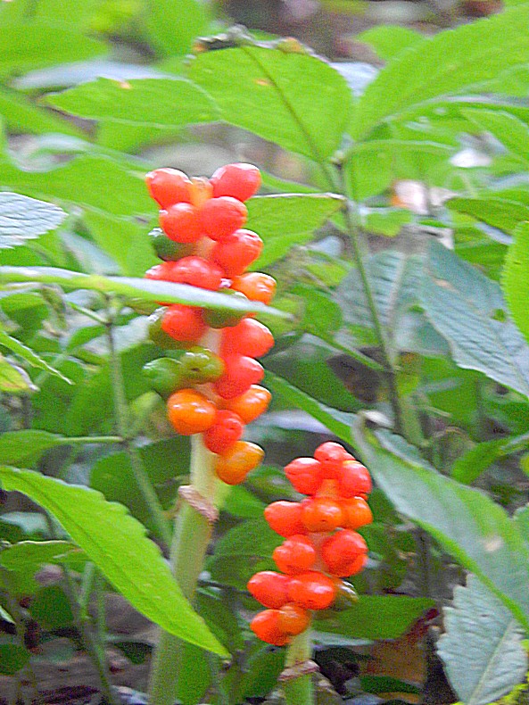
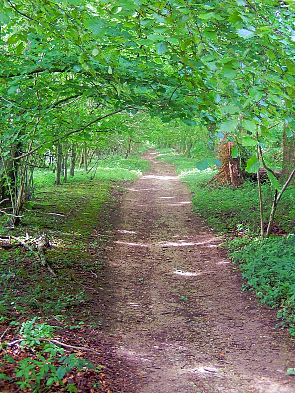
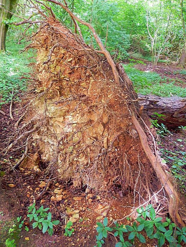
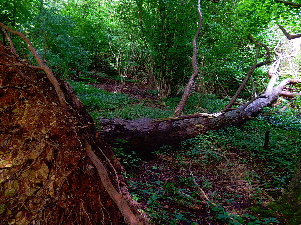
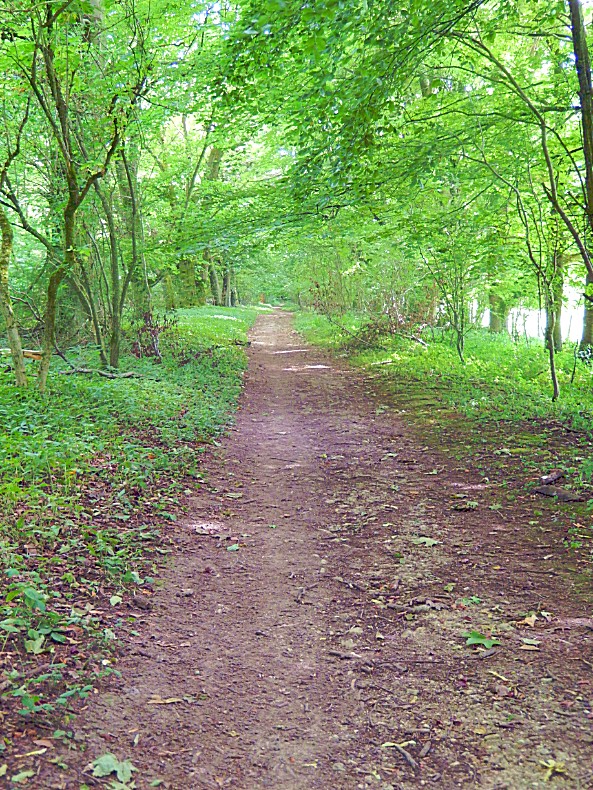
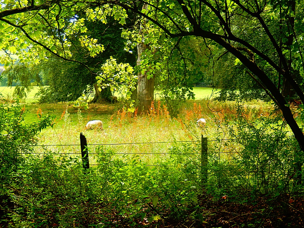
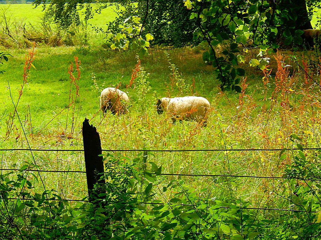
![]() Go over the lane onto a wide track. You will see a sign post on your right with horse and rider on it. Follow this track with a wood on your right. At the end of the woods you come to a ‘cross roads’.
Go over the lane onto a wide track. You will see a sign post on your right with horse and rider on it. Follow this track with a wood on your right. At the end of the woods you come to a ‘cross roads’.
Biodiversity
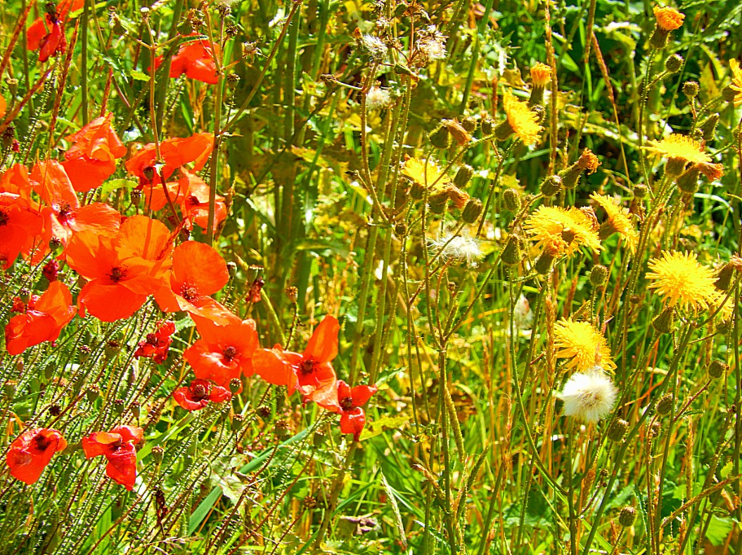
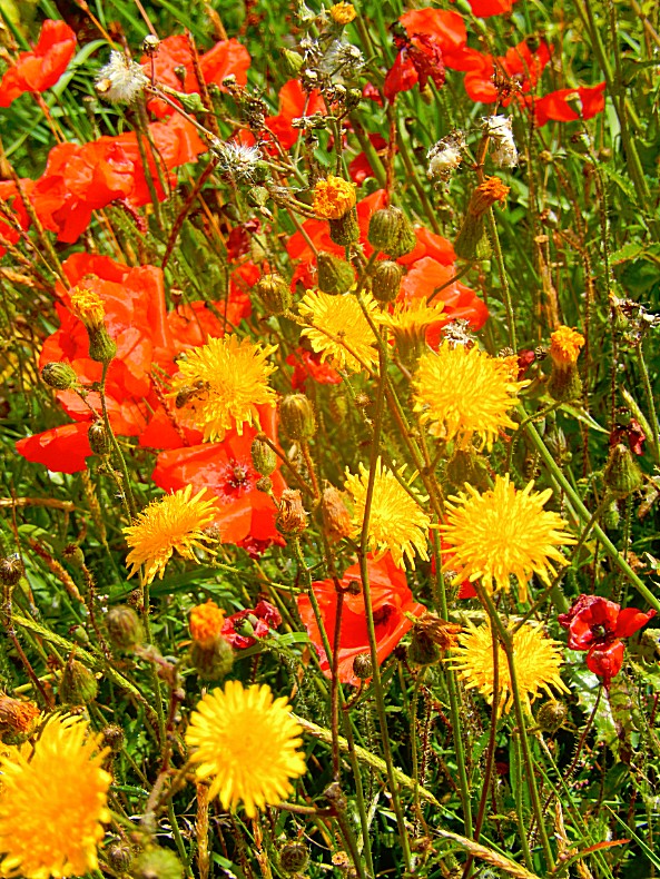
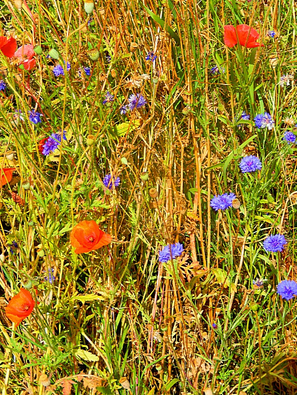
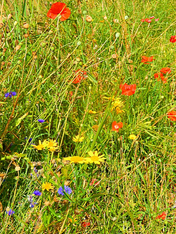
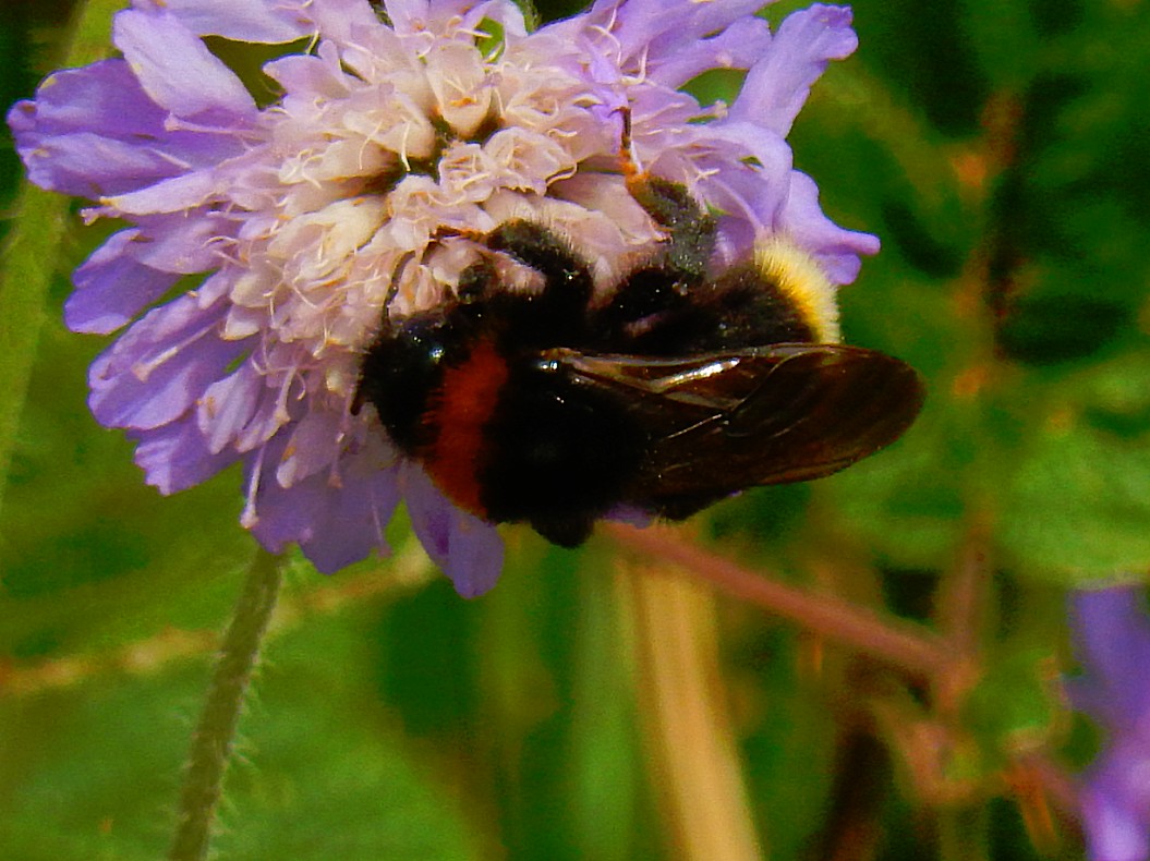
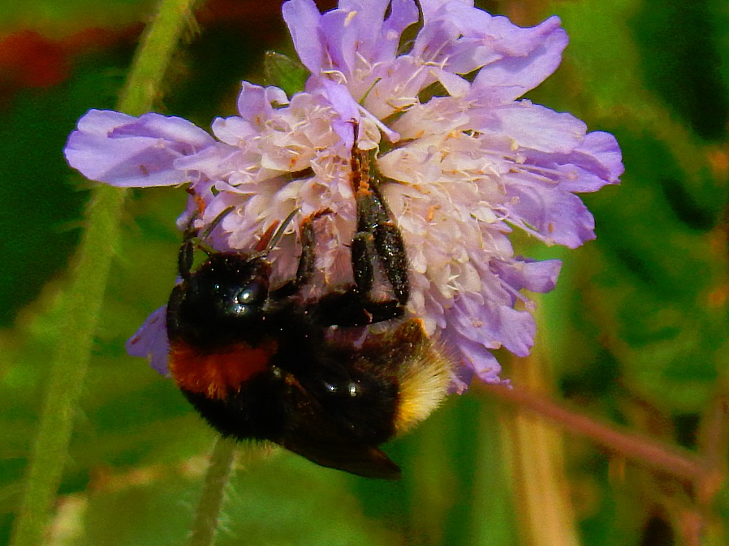
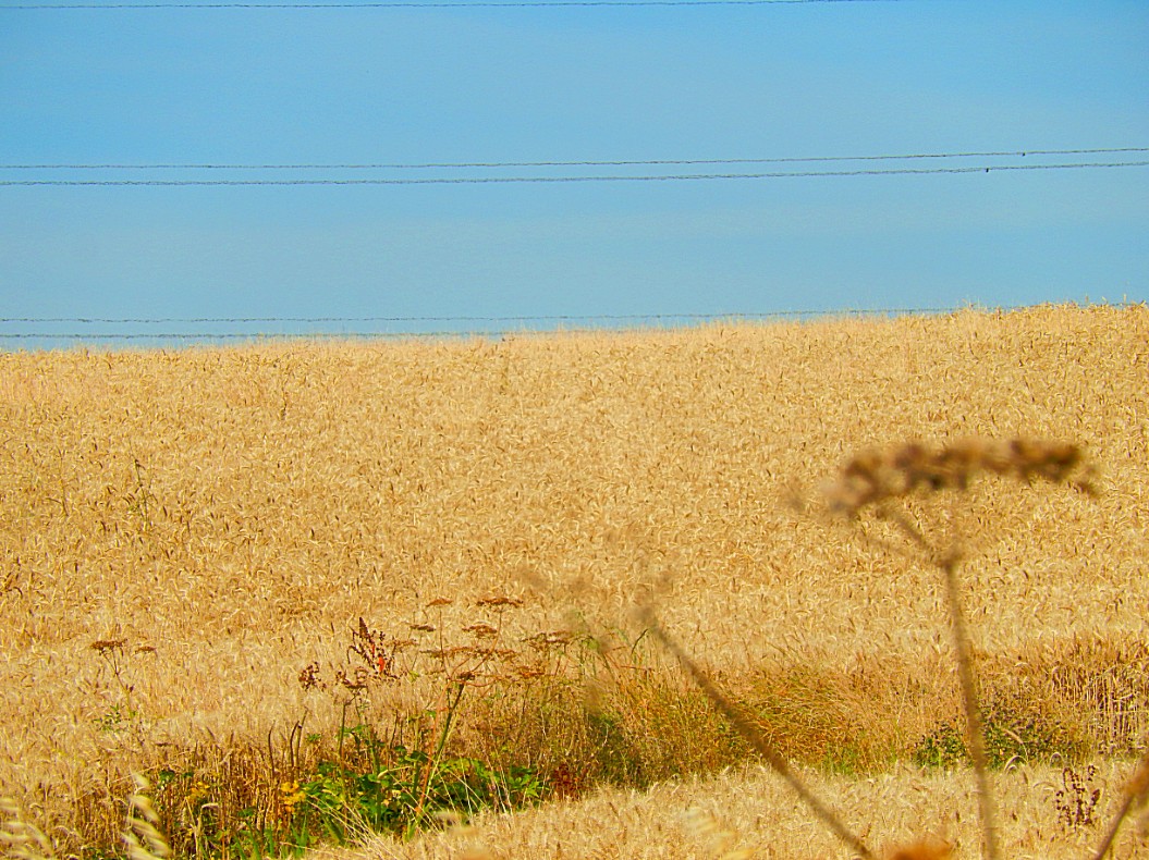
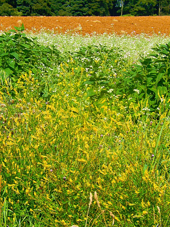
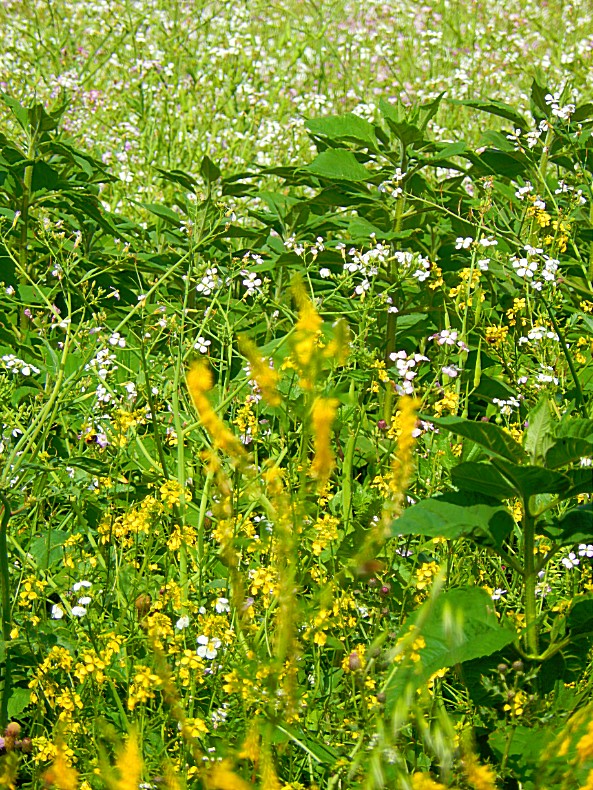
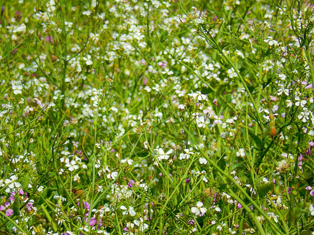
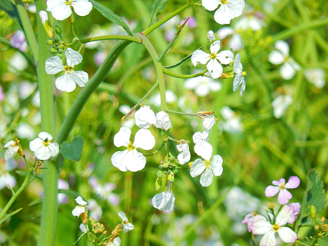
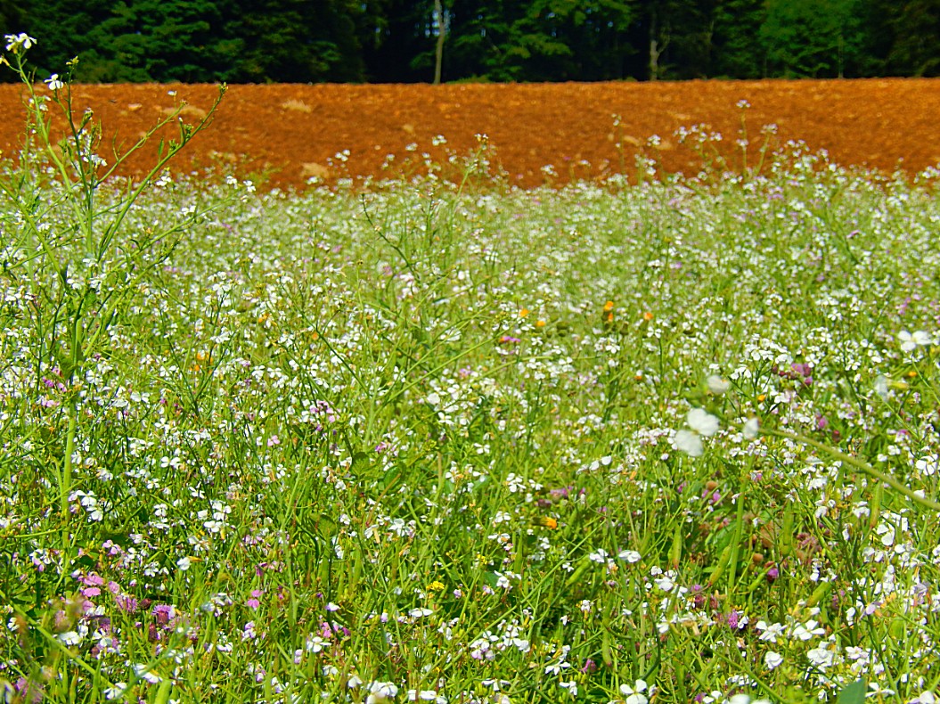
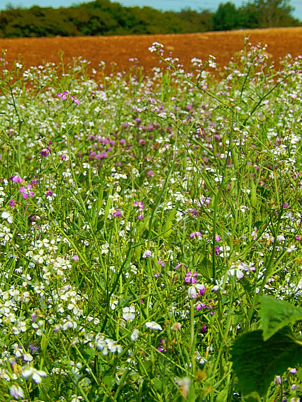
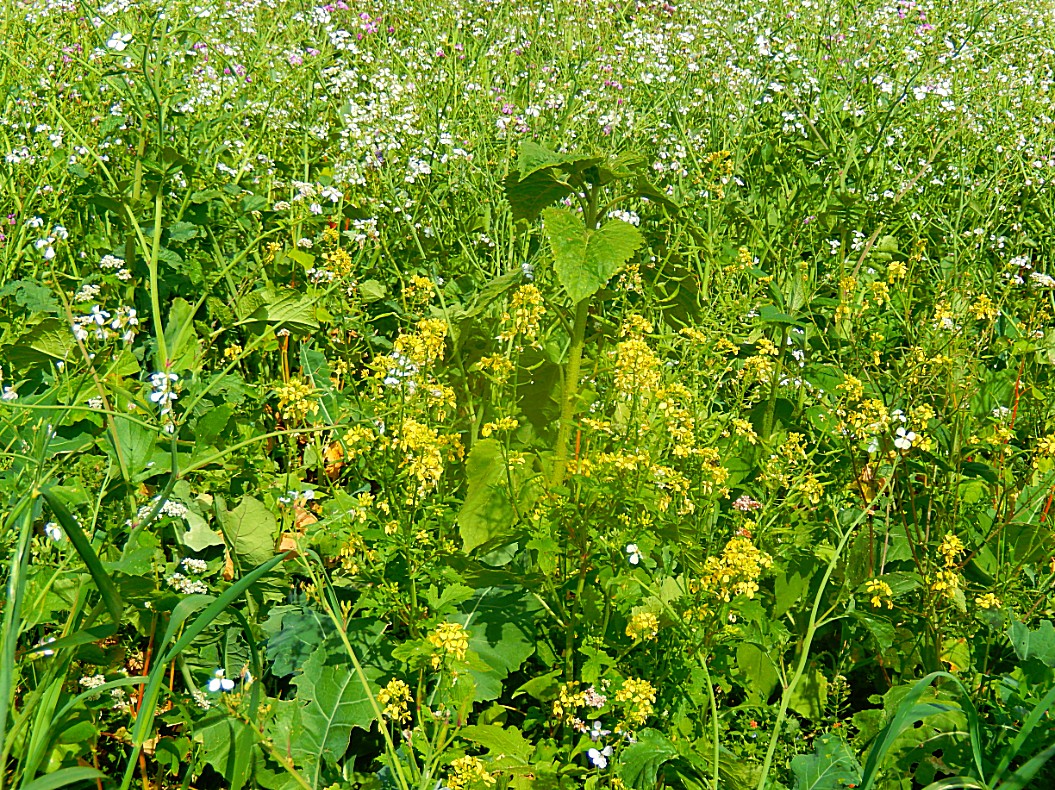
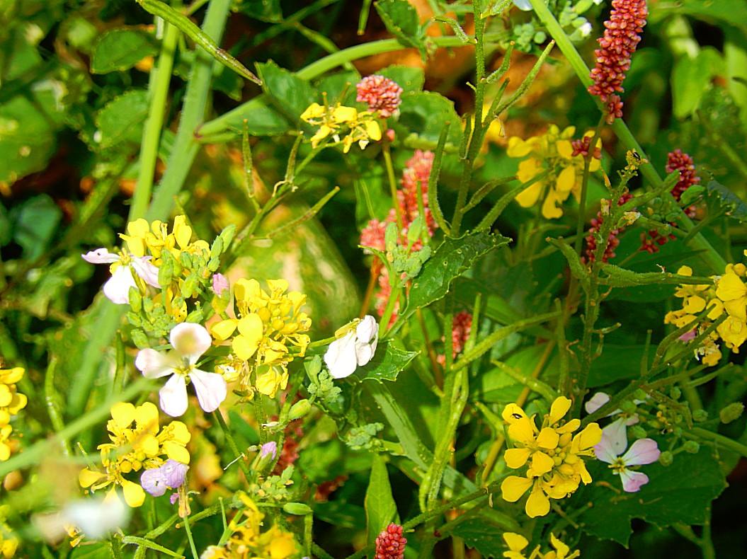
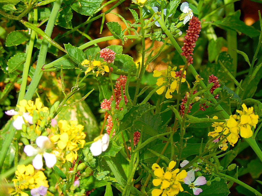
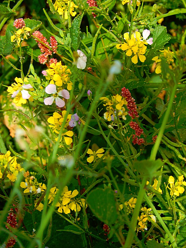
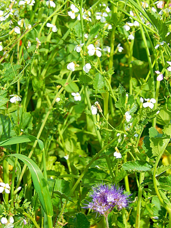
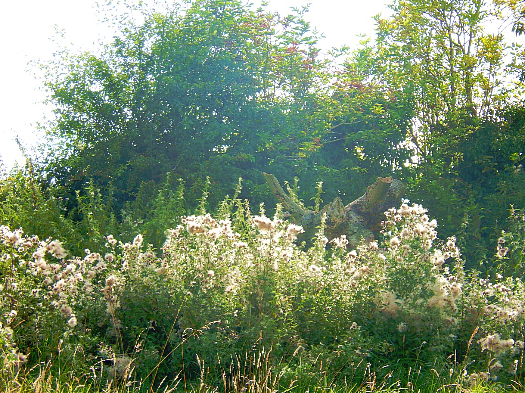
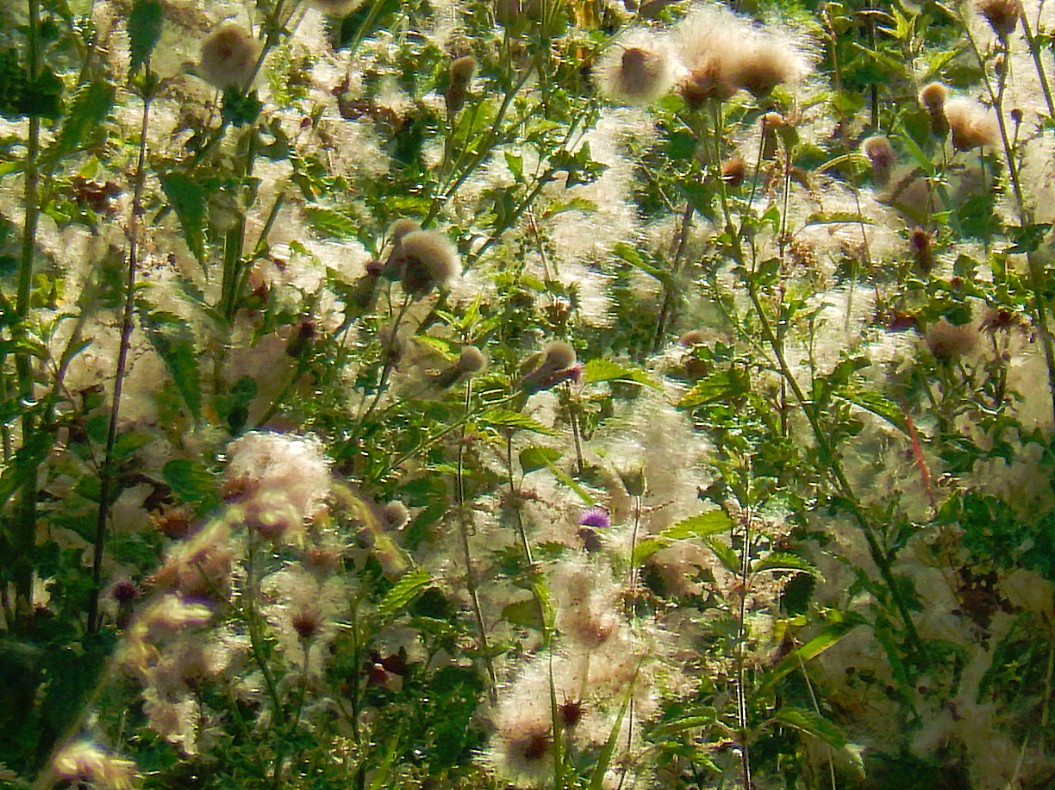
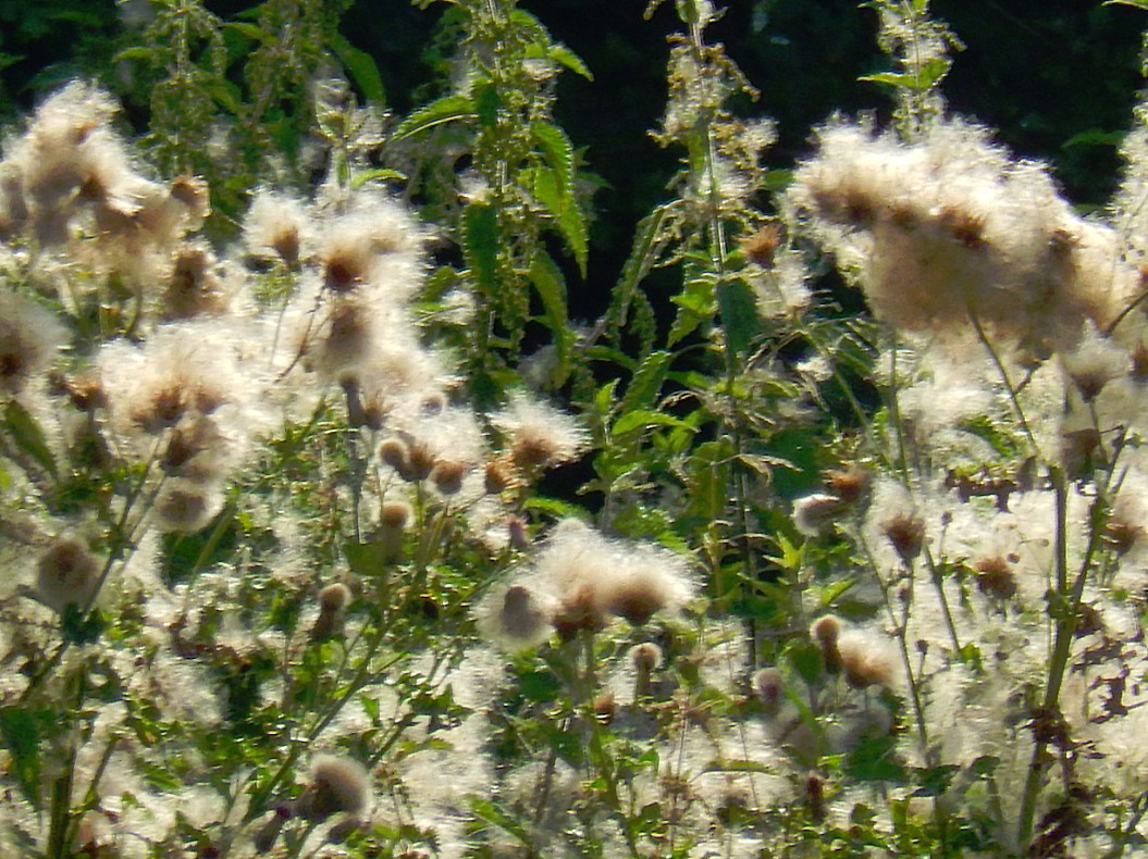
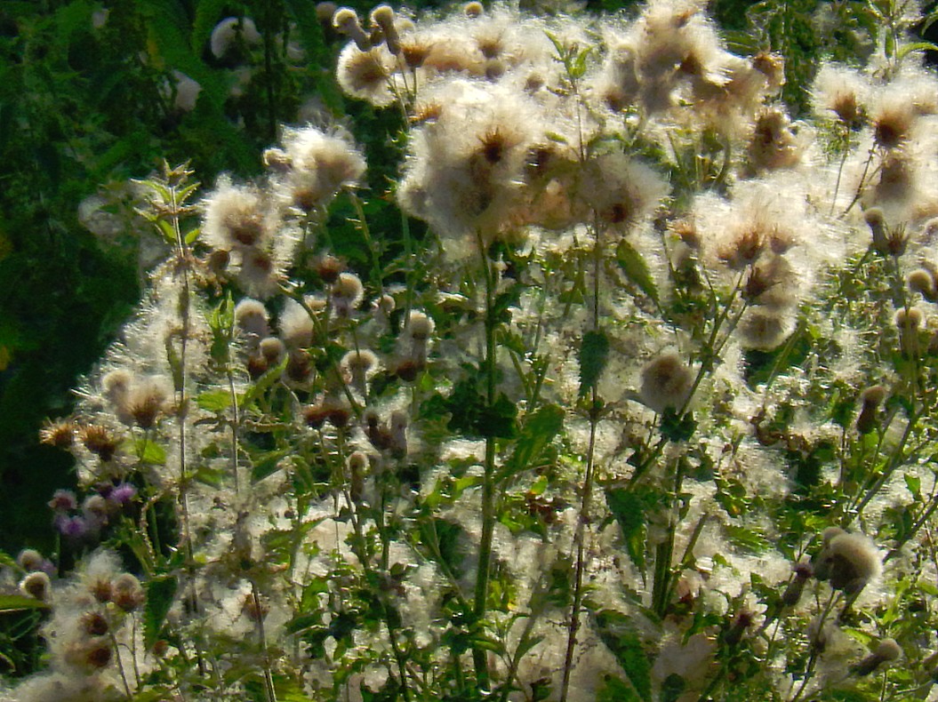
I guess after showing you all these pictures (I think this post contains over 300), I can start again (like in my previous walking post in the Cotswolds) about Biodiversity :-). Well biodiversity meaning the existence of lots of different animal and plant species in an area, is connected to diversity in landscape. It is as simple as this:
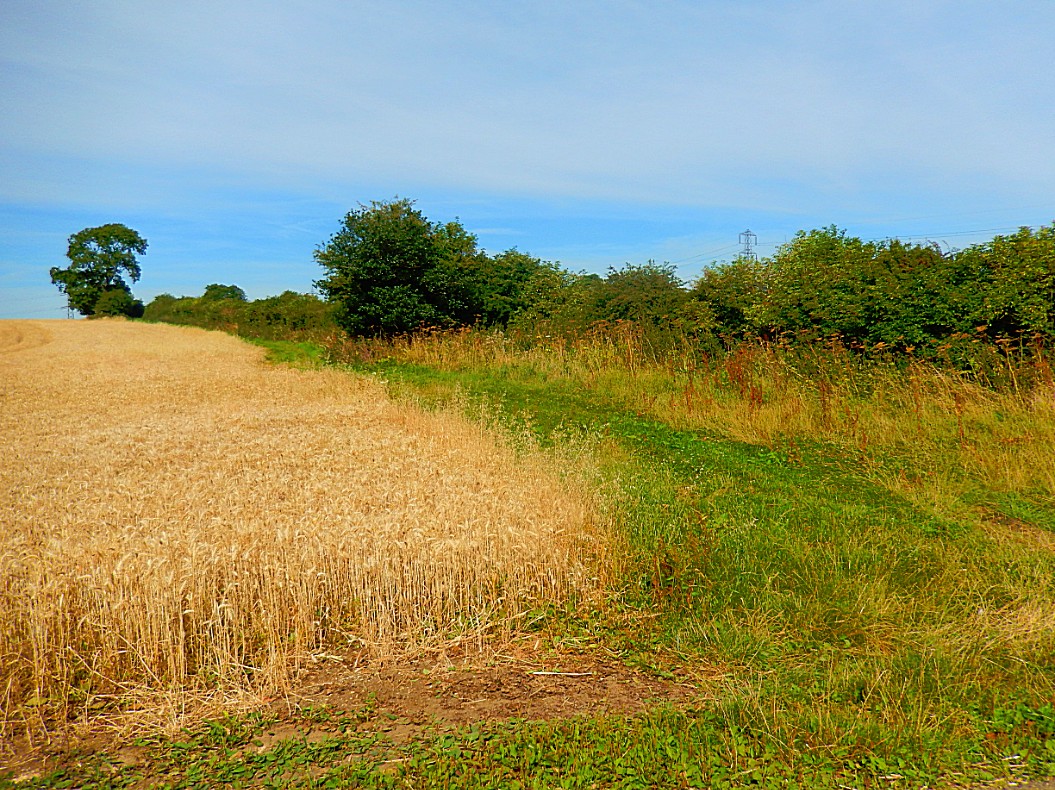
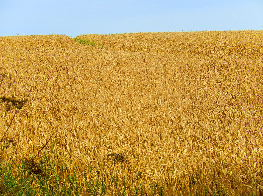
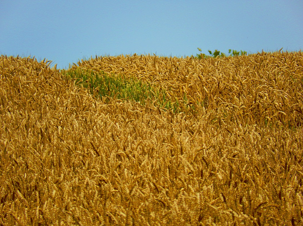
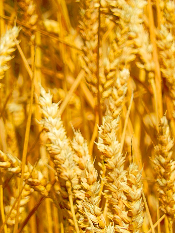
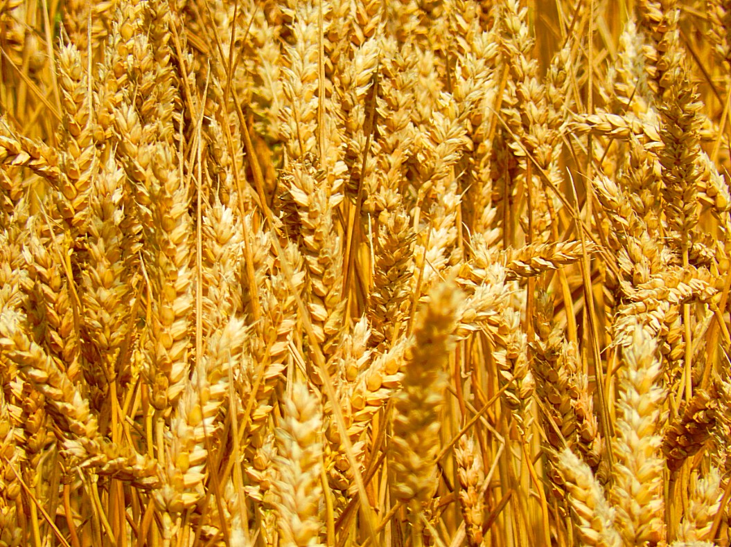
If you have a Cornfield, mice and birds can eat some of the corn, but they need places to hide or bring up their offspring in safety as well, so you need hedgerows and trees where they can hide and nest, but then they do get offspring and the need for food grows. For birds this means the need for insects to eat, but insects eat too and they need flowers with rich nectar to create honey and the plants bearing those flowers need birds, insects and mammals to spread their seeds for reproduction. This means you need to reduce on chemicals that kill insects and “weeds”, and it also means there have to be broad borders where wildflowers can grow. And if they grow in large amounts, the grasses will be there too and larger mammals can graze which attracts larger predators like foxes or birds of prey… Everything is related in nature and if you remove things from thepicture, other things will follow and disappear too.
This beautiful diagram explains it all:
In England people might be used to this large biodiversity, but in the tiny Netherlands biodiversity had disappeared due to the focus on economics in agriculture. Less hedgerows and trees and small or no borders for wildflowers, replaced by barb wire fences instead, meant more space for corn to grow and less loss of corn due to mice and birds or worse, insects.But it also meant lots of animals disapeared. Luckily times are changing and focus on diversity in landscape and biodiversity is getting more and more attention. There is still a long way to go, but programms creating more space for rivers to overflow and the creation of wildlife corridors connecting nature areas is beneficial to a growing biodiversity, as is more attention for a more nature friendly manner of farming.
![]() At the end of the woods you come to a ‘cross roads’. Take the track going up the hill to the right. Follow this track keeping the wood on your right. At the top, where the wood ends, turn left onto the track towards the line of trees.
At the end of the woods you come to a ‘cross roads’. Take the track going up the hill to the right. Follow this track keeping the wood on your right. At the top, where the wood ends, turn left onto the track towards the line of trees.
Nature versus industrialization in The Lord of the Rings
A prominent and reoccurring theme in J.R.R. Tolkien’s The Lord of the Rings is the conflict between nature and industry. Tolkien was raised in a small rural village (Sarehole) near Birmingham and he witnessed the fast growth of the town and the encapsulation of his village. Industrialization always divided people in supporters and opponents. Tolkien was a fierce opponent and this was visible in the Lord of the Rings where the industrialization backed the war efforts of Sauron and Saruman and was thus positioned as pure Evil, where everything connected to nature, e.g. natural spirits like Tom Bombadil, the Ents as guards of the trees or the nature loving Elves, living in harmony with nature, were regarded as Good.
But this was maybe strongest reflected in his description of The Shire, which was clearly an area in rural middle England. In the books one of the last chapters (The scouring of the Shire) deals with the threat of industrialization in The Shire itself, something which was foreseen in a very early chapter (The mirror of Galadriel) which did get into the Peter Jackson movies.
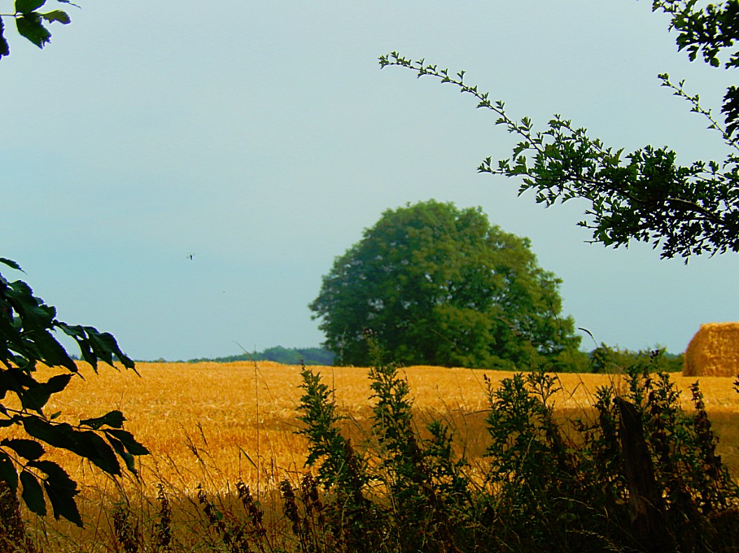
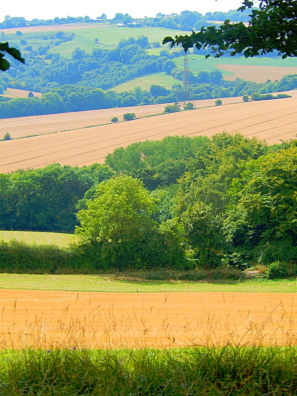
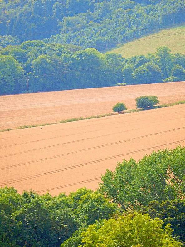
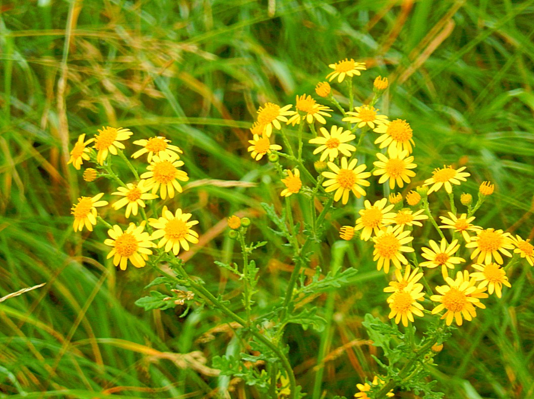
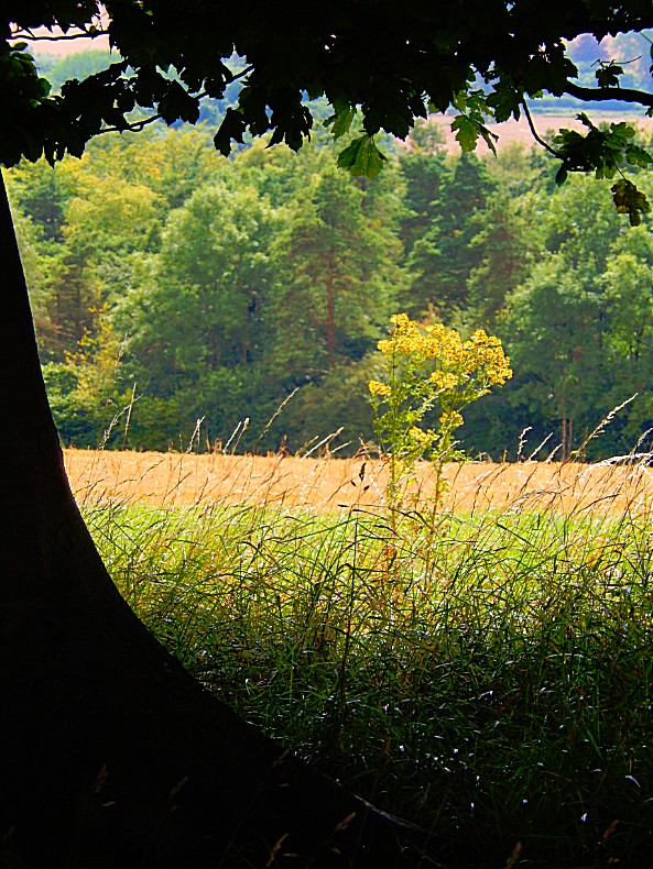
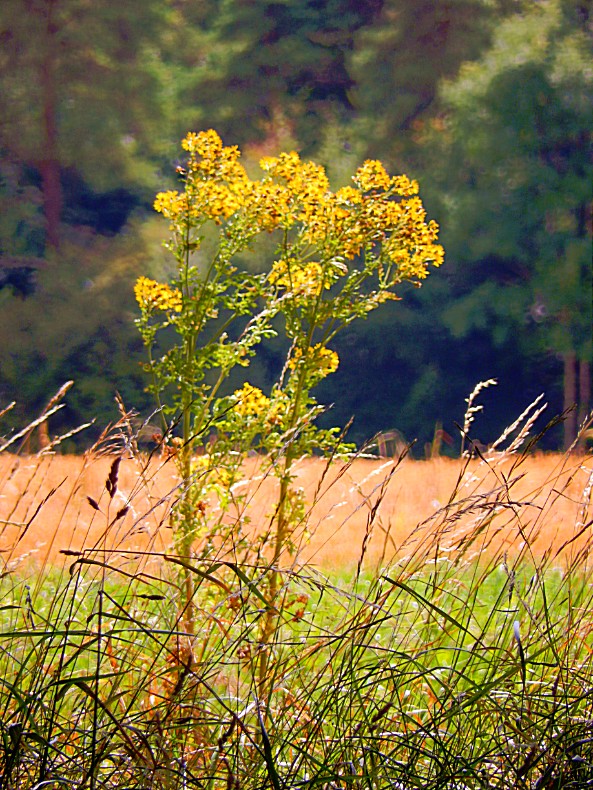
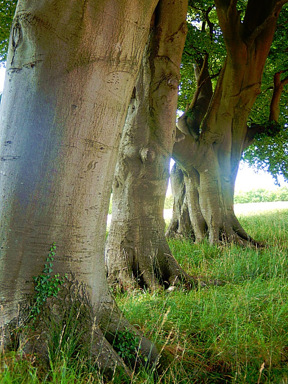
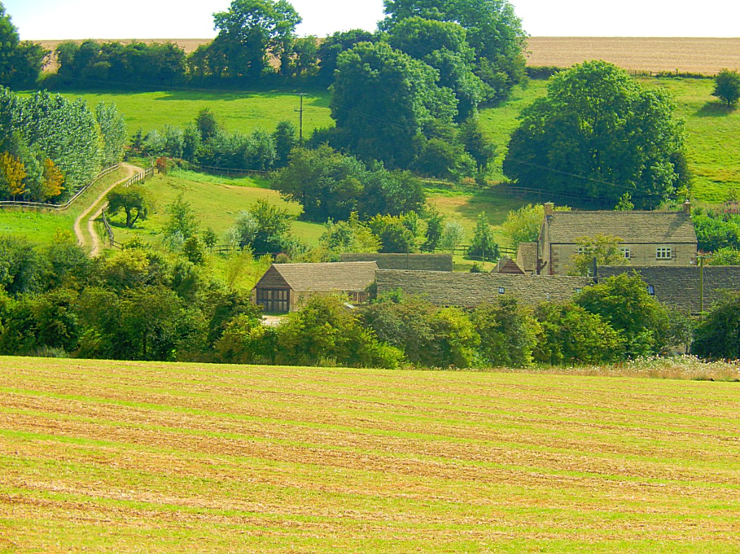
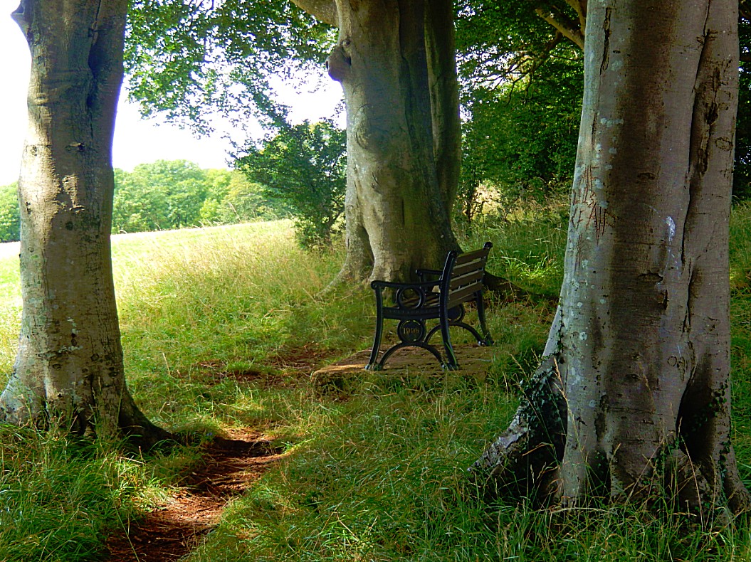
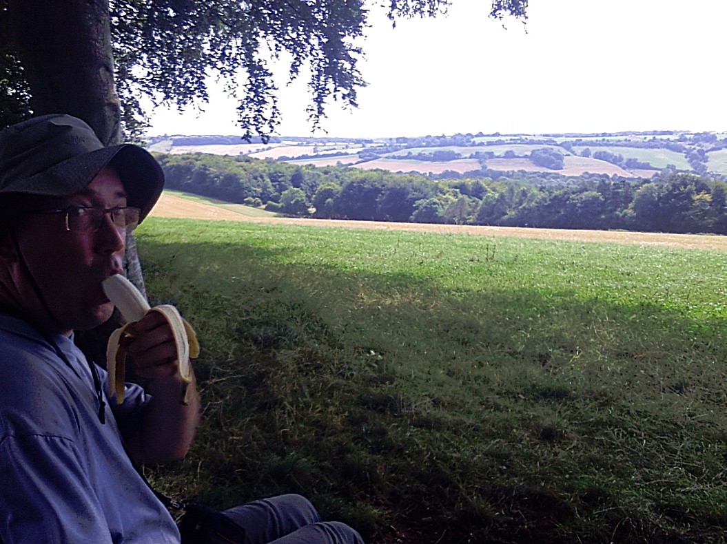
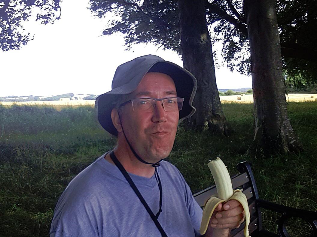
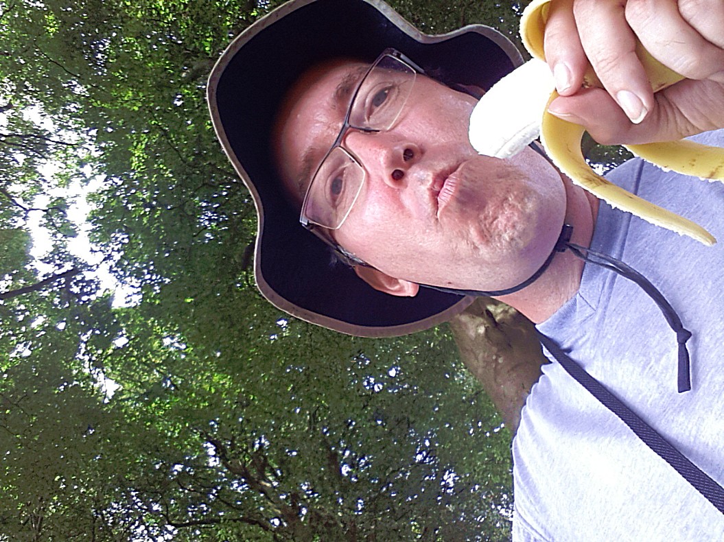
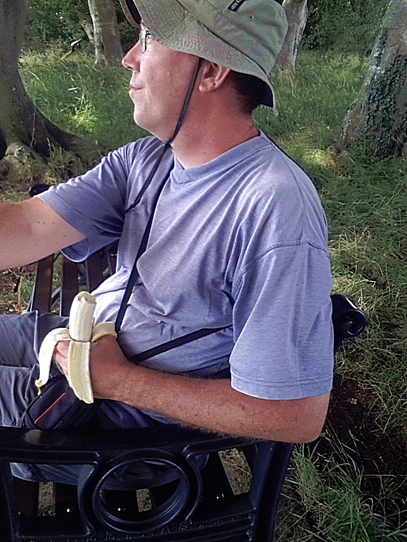
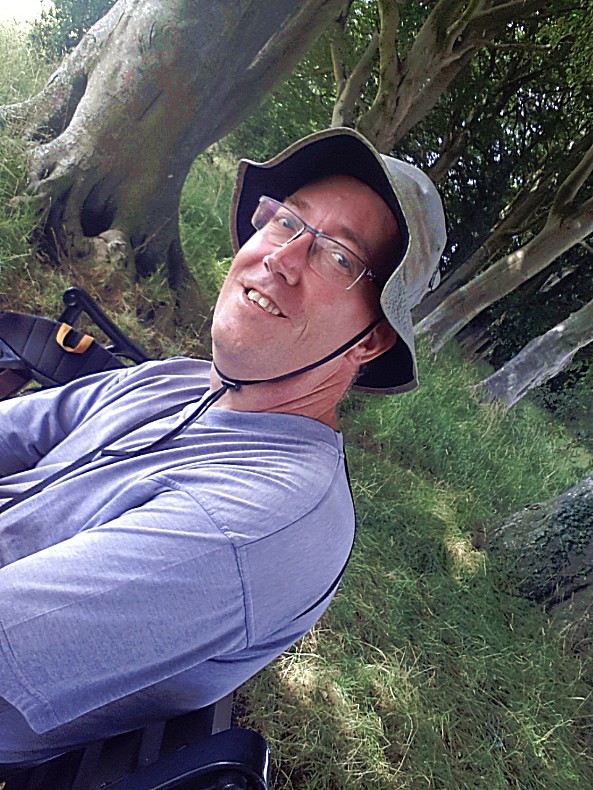
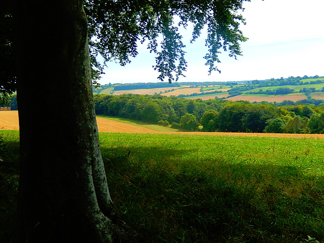
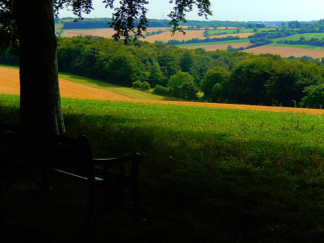
![]() This path will lead you passed a bench where you can sit and absorb views of the lovely countryside across the Churn Valley.
This path will lead you passed a bench where you can sit and absorb views of the lovely countryside across the Churn Valley.
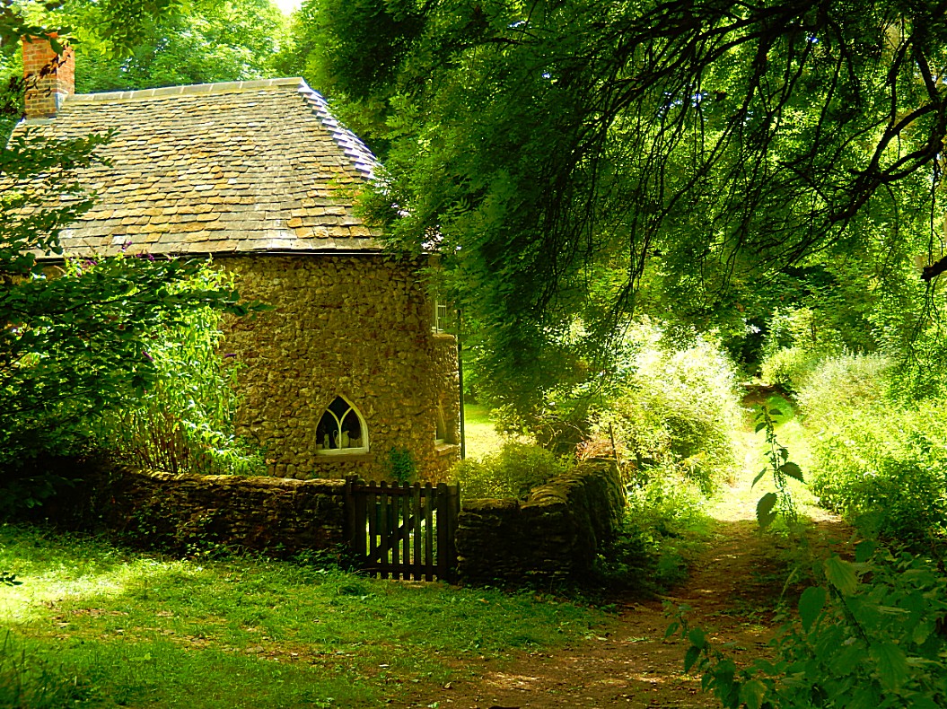
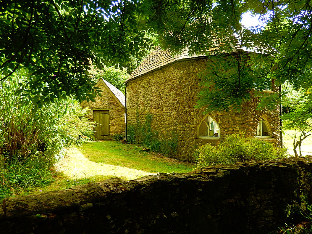
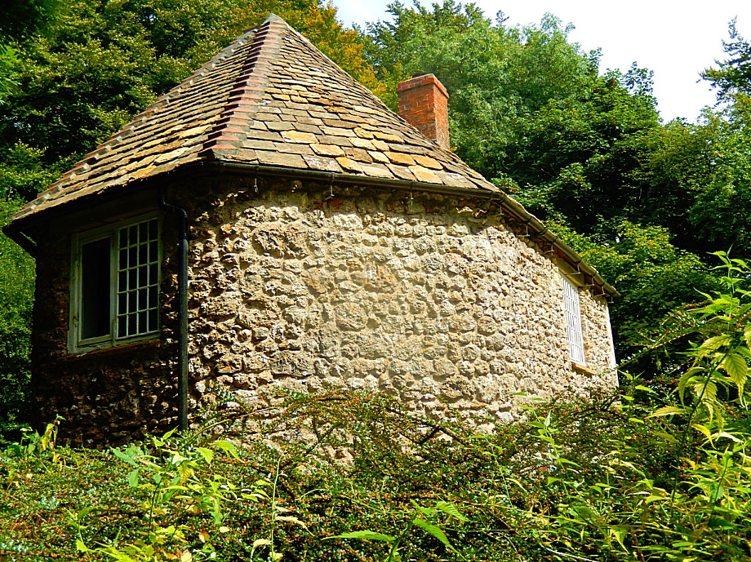
![]() This path will eventually take you passed a small round house on your left…
This path will eventually take you passed a small round house on your left…
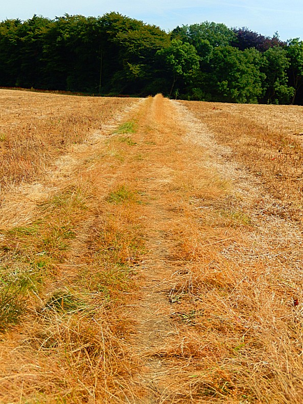
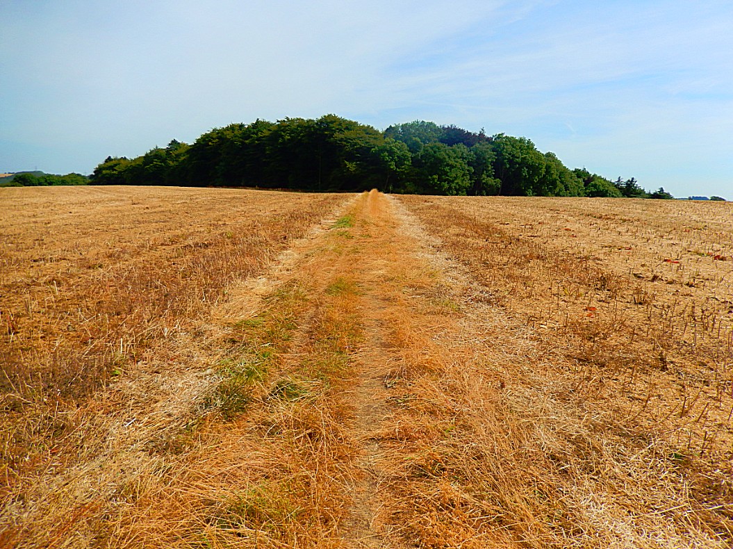
![]() Go straight ahead into a wood and you will come out into a field. Keep going straight ahead until you come to a lane.
Go straight ahead into a wood and you will come out into a field. Keep going straight ahead until you come to a lane.
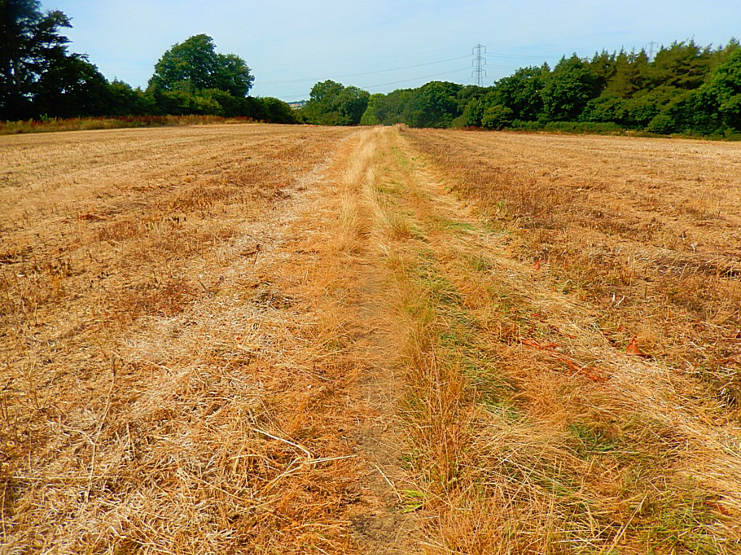
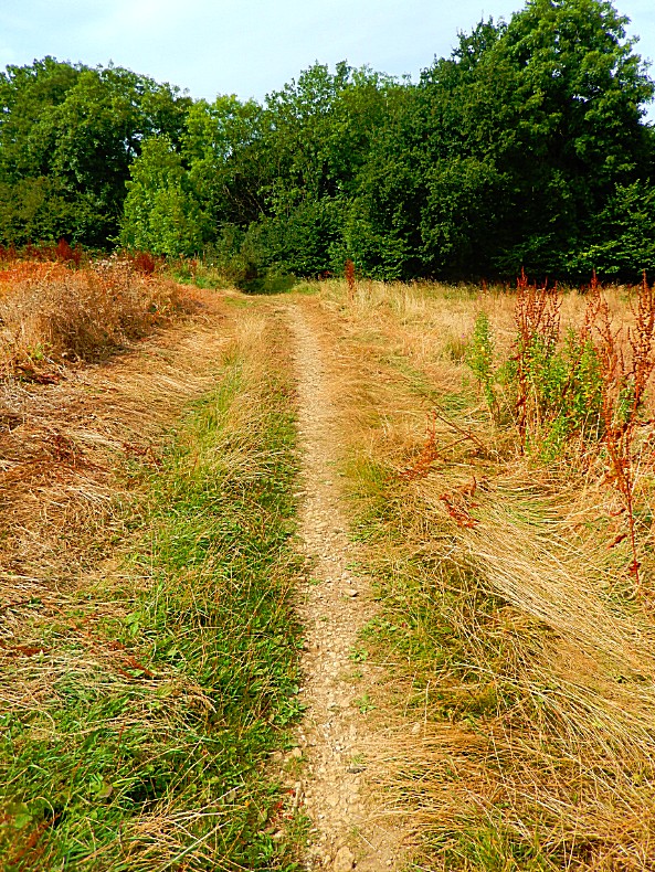
![]() Here you turn left towards the pretty hamlet of Upper Coberley. Turn left at the junction down into Upper Coberley.
Here you turn left towards the pretty hamlet of Upper Coberley. Turn left at the junction down into Upper Coberley.
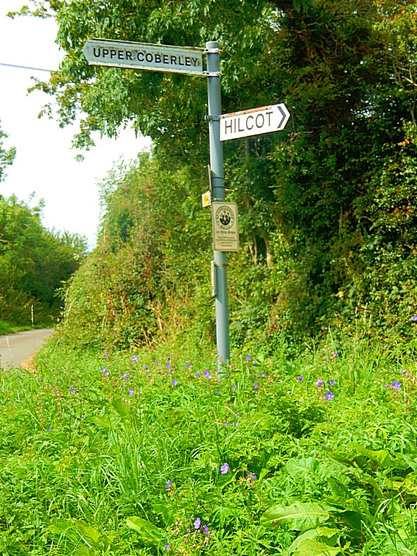
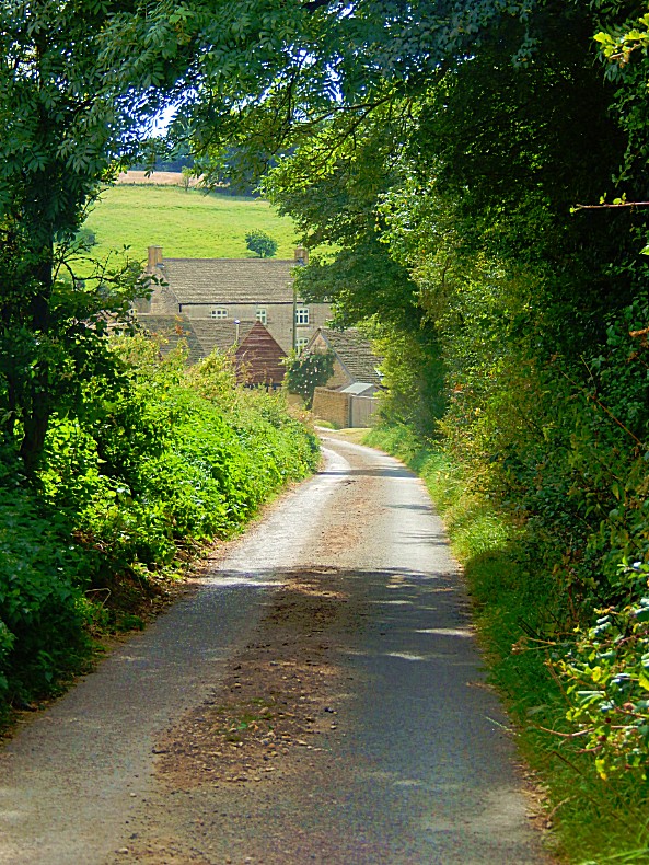
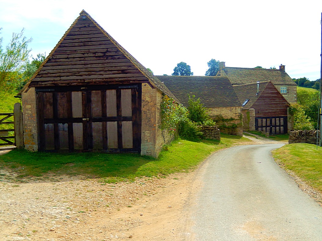
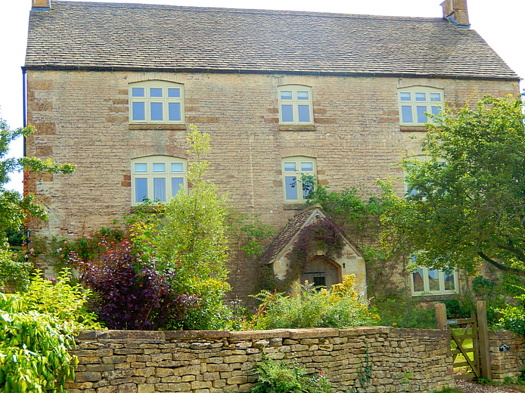
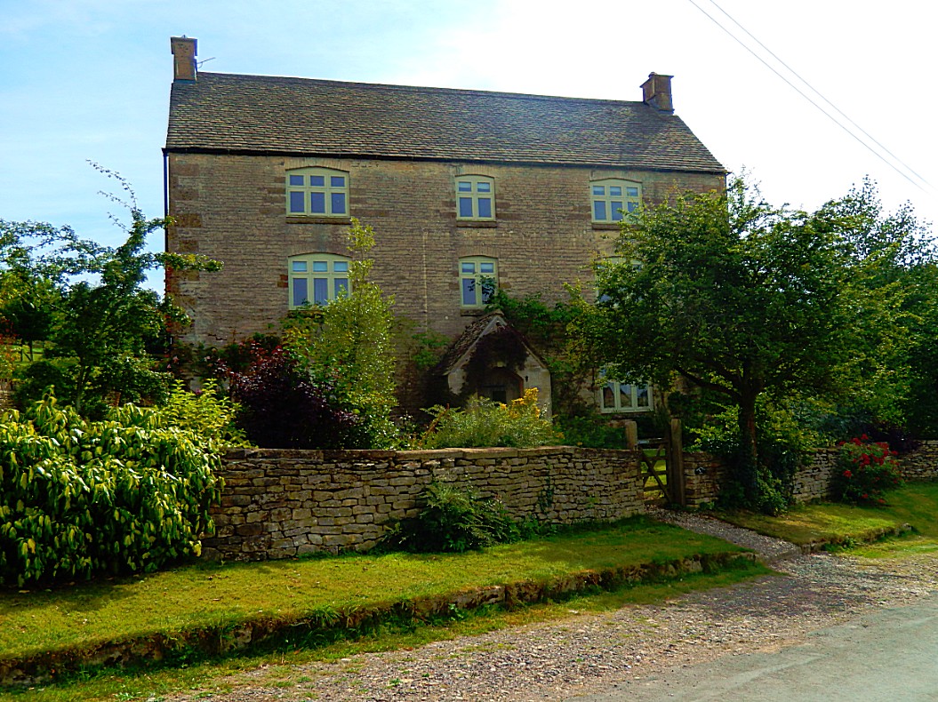
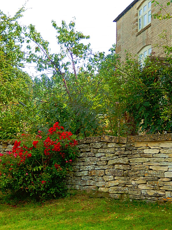

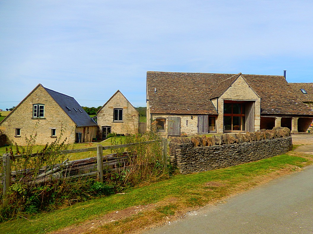
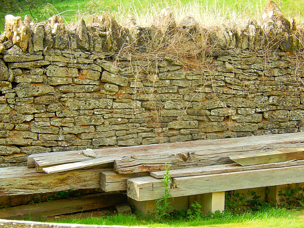
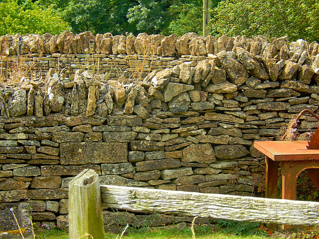
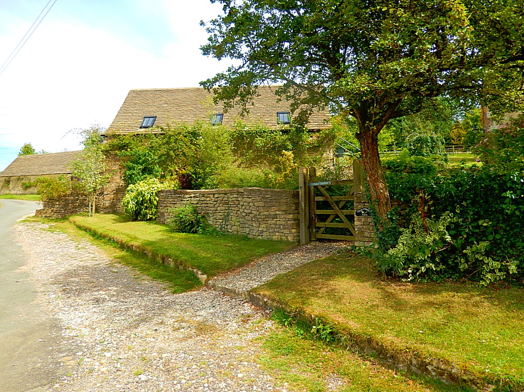
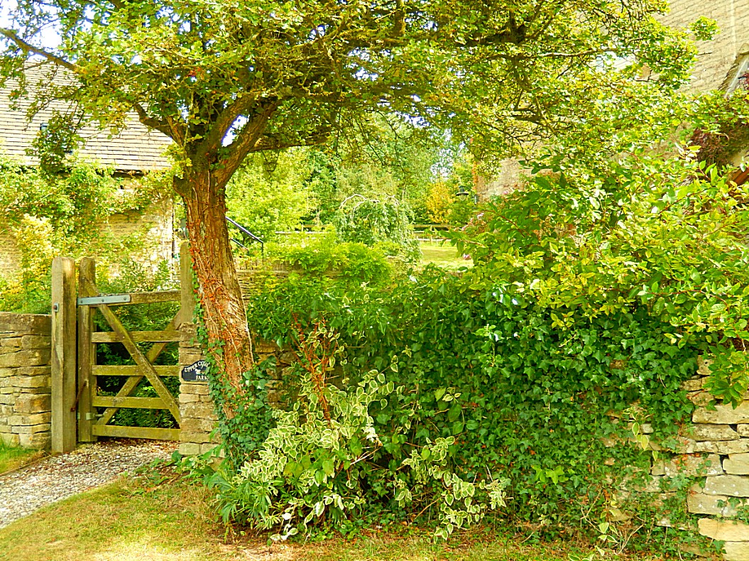
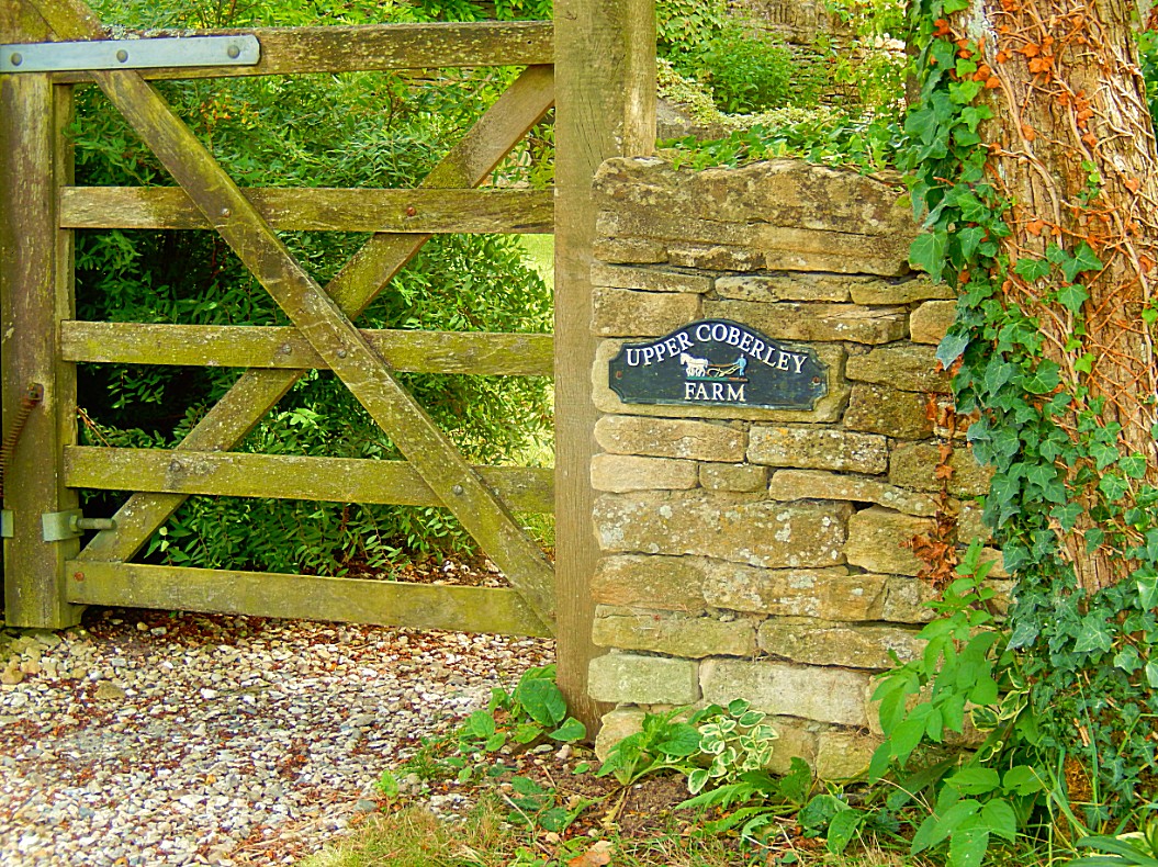
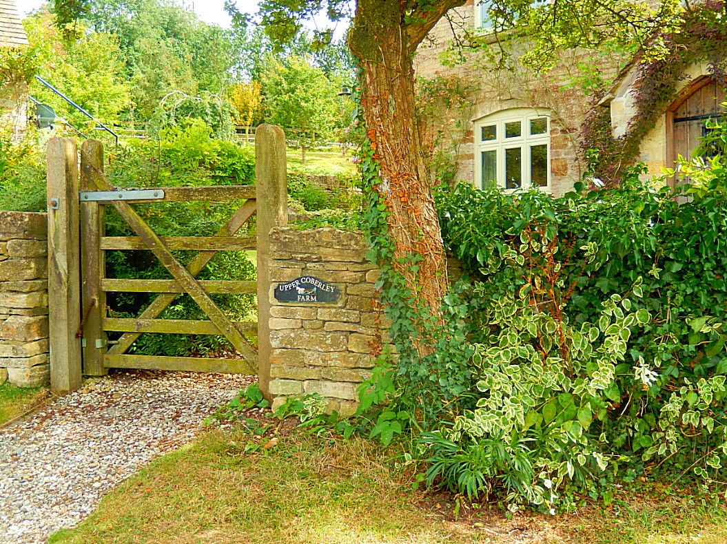
![]() After you walked through pretty Upper Coberley, retrace your steps up to the signpost mentioning Upper Coberley and Hillcot and turn left.
After you walked through pretty Upper Coberley, retrace your steps up to the signpost mentioning Upper Coberley and Hillcot and turn left.
![]() Walk along this road for about one mile, ignoring the Bridle Way, Gloucestershire Way sign posts and the footpath signpost on the left at the New Farm bungalow.
Walk along this road for about one mile, ignoring the Bridle Way, Gloucestershire Way sign posts and the footpath signpost on the left at the New Farm bungalow.
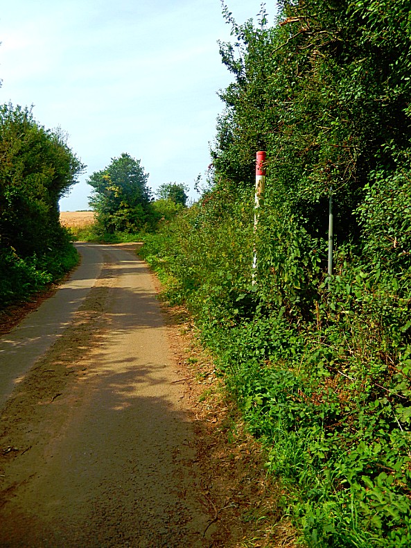
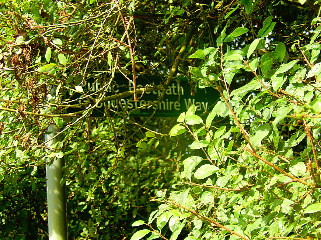

![]() Stay on the lane (to the left your looking down at Upper Coberley) until you come to a fork, with the lane going left and a dirt track to the right. Veer to the right on the dirt track.
Stay on the lane (to the left your looking down at Upper Coberley) until you come to a fork, with the lane going left and a dirt track to the right. Veer to the right on the dirt track.
All this biodiversity is fantastic of course…. ehm…. although while still writing this blog, I walked very early through a public park in my hometown towards the railway station. It was still dark and I passed some bushes bordering directly on the path. Suddenly a small animal the size of a rat or rabbit or maybe aduck or young cat started to attack my shoes. I was stunned 1st but then started kicking and yelling at it. But it kept attacking my shoes. I didn’t hear feathers or tripping of bird claws and no growls either. It didn’t climb up my legs and because of my shoes I couldn’t feel whether it bit me or not. It was dark and I couldn’t see what it was and suddenly, maybe because my boot hit it, but I’m not sure, it left very quickly in a straight way into the bushes. What was it? When I had calmed down I started wondering. 1st I thought about a rat or rabbit with rabies. Then I was thinking of a young cat or rat defending its prey or maybe its offspring. In the end I started thinking of a rabbit again. A very horny rabbit maybe. It will probably stay a mistery for ever…
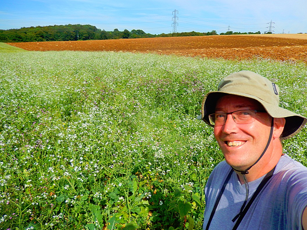
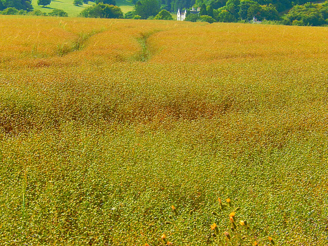
![]() Later the track is descending towards a gate (before reaching this gate you can see the hamlet of Seven Spings to the left in front of you).
Later the track is descending towards a gate (before reaching this gate you can see the hamlet of Seven Spings to the left in front of you).
Seven Springs, Gloucestershire
Seven Springs is a hamlet in the parish of Coberley in the Cotswold District of Gloucestershire in England, 4 miles (6.4 km) south of Cheltenham. Located at the intersection of the A435 and the A436 roads, it is the source of the River Churn, which flows south across the Cotswolds through Cirencester and joins the River Thames near Cricklade.
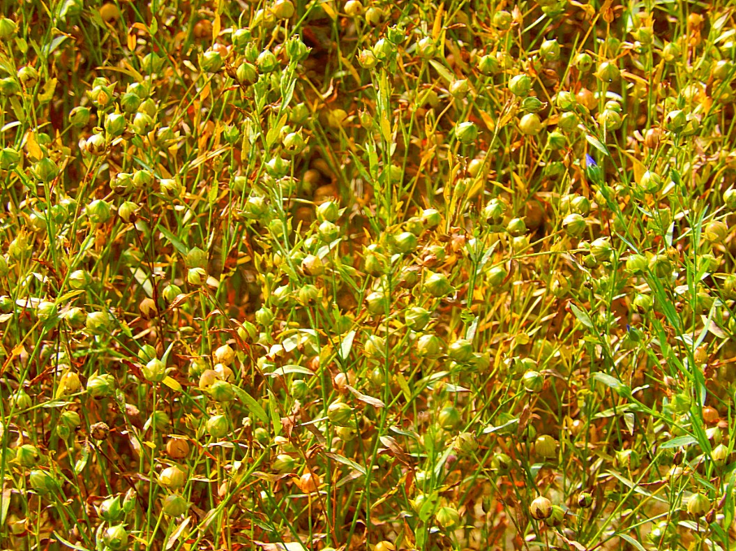
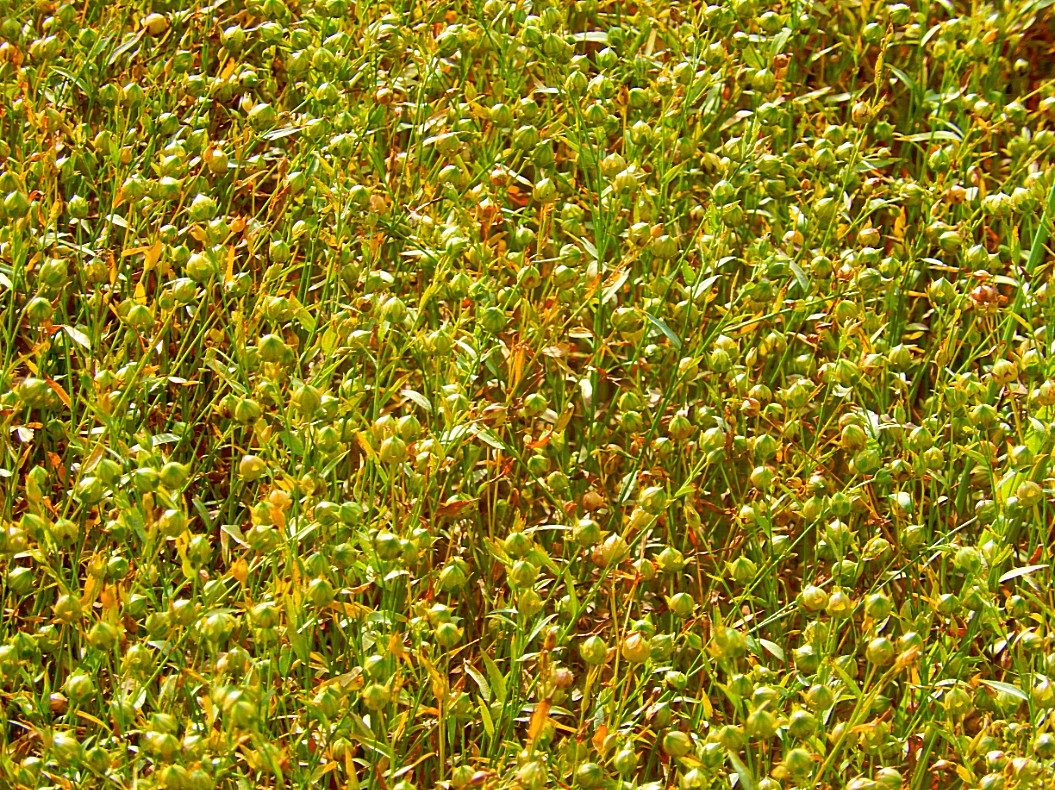
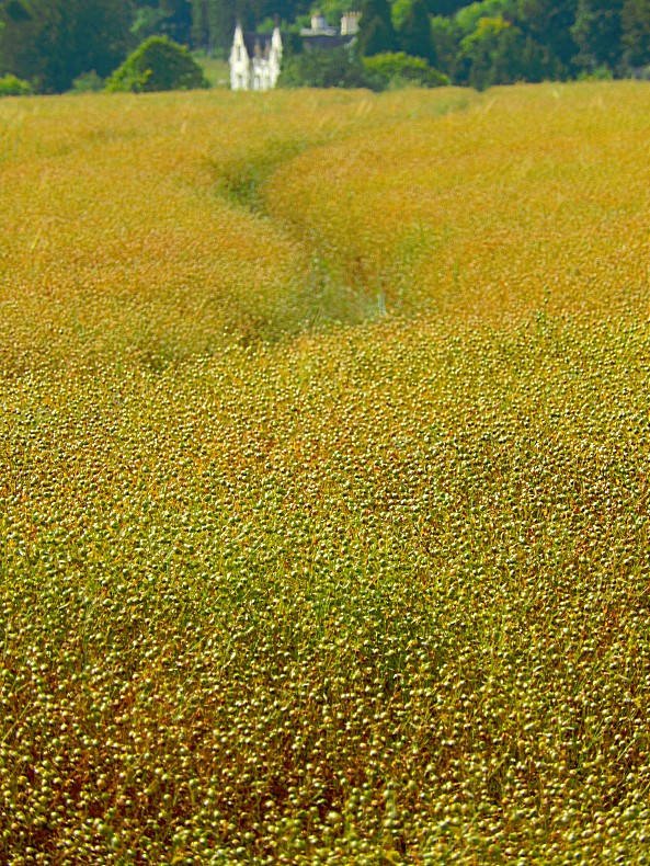
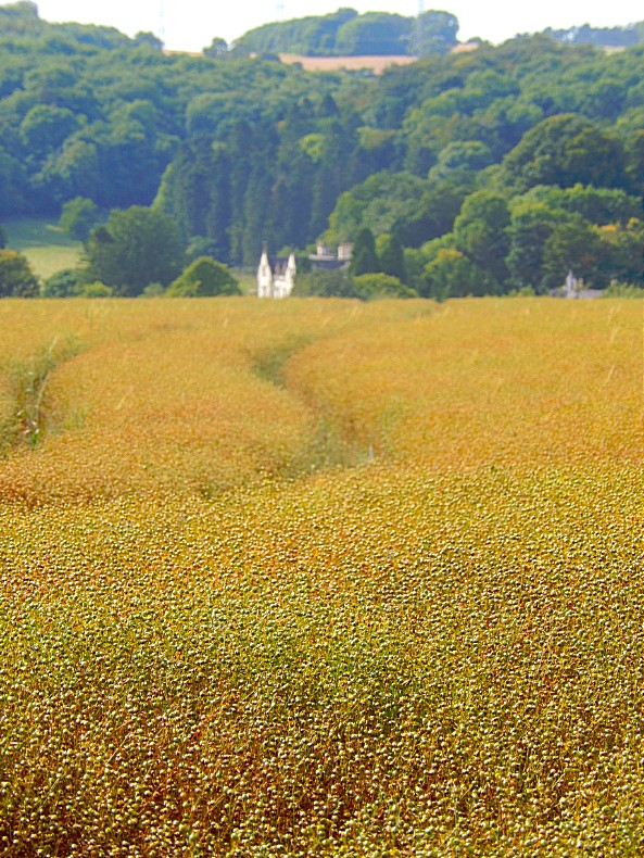
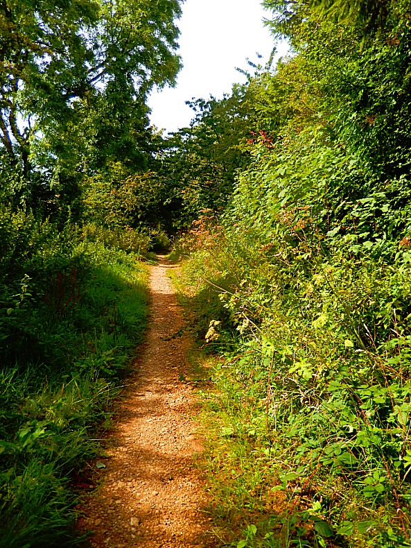
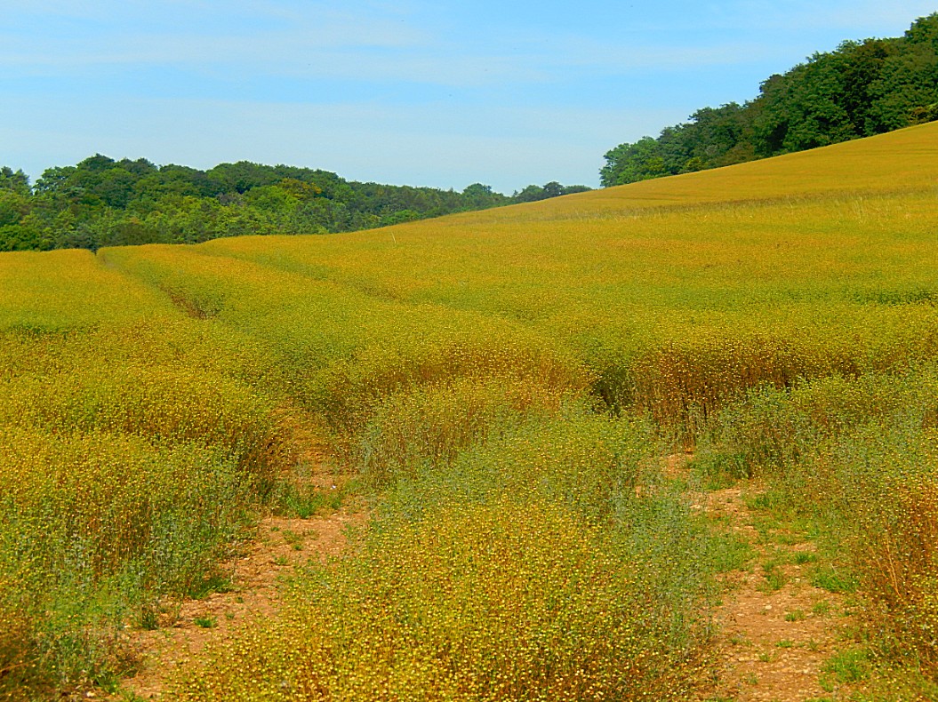
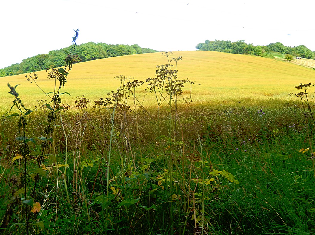
![]() Go through the gate and onto the main road at Seven Springs by a pedestrian crossing. Veer left to the junction and follow the A436 to the Seven Springs Inn (on the left side of the road).
Go through the gate and onto the main road at Seven Springs by a pedestrian crossing. Veer left to the junction and follow the A436 to the Seven Springs Inn (on the left side of the road).
Source of the Thames
Seven Springs features in the long-running argument over the true source of the River Thames.
Two plaques at the site read “Hic tuus o Tamesine Pater septemceminus fons” (“Here, O Father Thames, is your sevenfold spring”).
The claim is based on the fact that Seven Springs is further from the mouth of the Thames than the conventional source at Thames Head near Kemble.
In 2012 Coberley Parish Council posted a notice at the site arguing that Seven Springs “is certainly one of the sources of the River Thames and is held by many to be the ultimate source”. The notice adds that the site is the source of the River Churn, which flows into the Thames at Cricklade, and as its location is furthest from the mouth of the Thames, it adds some 14 miles to the length of the river flow. Furthermore, the springs at the site flow throughout the year, whereas those at the official source of Thames Head are only seasonal. “The Churn/Thames River may therefore be regarded as the longest natural river flow in the United Kingdom, beating its nearest rival, the River Severn by some 9 miles”. Others have argued that the 29 miles of the River Churn would add 14 miles (23 km) to the Thames, making it 229 miles (369 km) long, 9 miles (14 km) longer than the Severn, at 220 miles (350 km) considered the longest river in England and Wales, and also longer than the River Shannon (224 miles/360.5 km), the longest river in the British Isles.
The stream from Seven Springs is, however, joined at Coberley by a longer tributary which could claim to add further to the length of the Thames, with its source in the grounds of the National Star College at Ullenwood.
![]() After a meal and a drink, the walk continous. Facing the pub, turn right along the main road and, at a footpath sign, turn left through a metal kissing gate.
After a meal and a drink, the walk continous. Facing the pub, turn right along the main road and, at a footpath sign, turn left through a metal kissing gate.
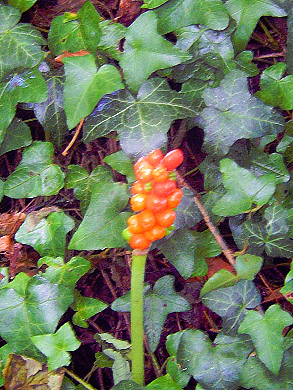
![]() Walk along the left hand edge of three fields, climbing several stiles.
Walk along the left hand edge of three fields, climbing several stiles.

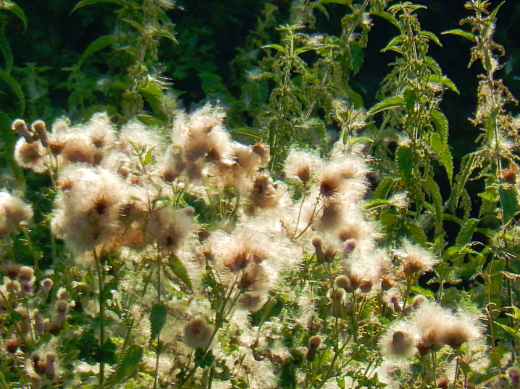

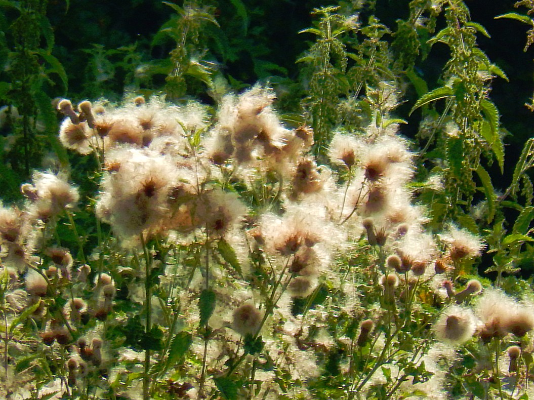
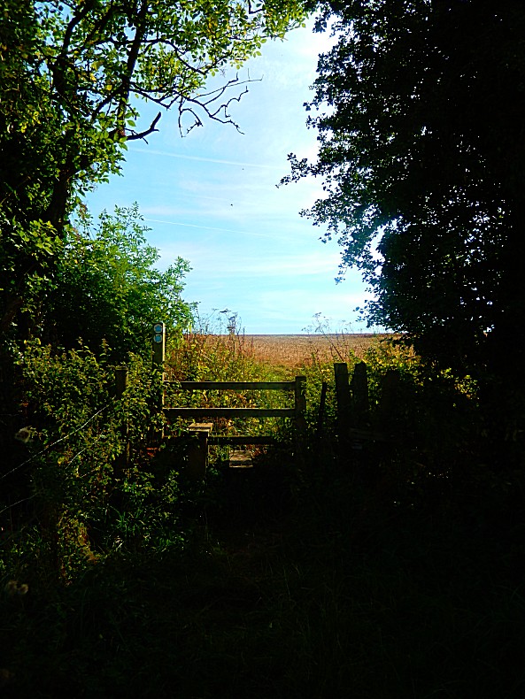
![]() Later continue gently downhill along an enclosed path into Coberley.
Later continue gently downhill along an enclosed path into Coberley.
Coberley
Coberley is a village and civil parish in the Cotswold District of Gloucestershire in England, 4 miles (6.4 km) south of Cheltenham.
The village is in a valley at the confluence of a number of streams (Seven Springs) that form the River Churn, a tributary of the River Thames. In medieval times the village was closer to the main road, near a spring to the east of Coberley Court. A short distance to the east are the sites of the mediaeval and modern villages of Upper Coberley.
![]() Keep ahead into the village. At the green go straight over to a tarmac path.
Keep ahead into the village. At the green go straight over to a tarmac path.
History
The parish has two long barrows: one about 0.75 miles (1.21 km) west of the parish church and the other about 2 miles (3.2 km) west-northwest of the church. A skeleton was discovered in the later barrow before 1779.
The valley north of Coberley is the site of a Roman villa complex that has been the source of numerous archaeological finds, including coins, tiles, pottery and mosaics. The site was excavated by Channel 4’s Time Team in 2007 for an episode that was broadcast on 3 February 2008.
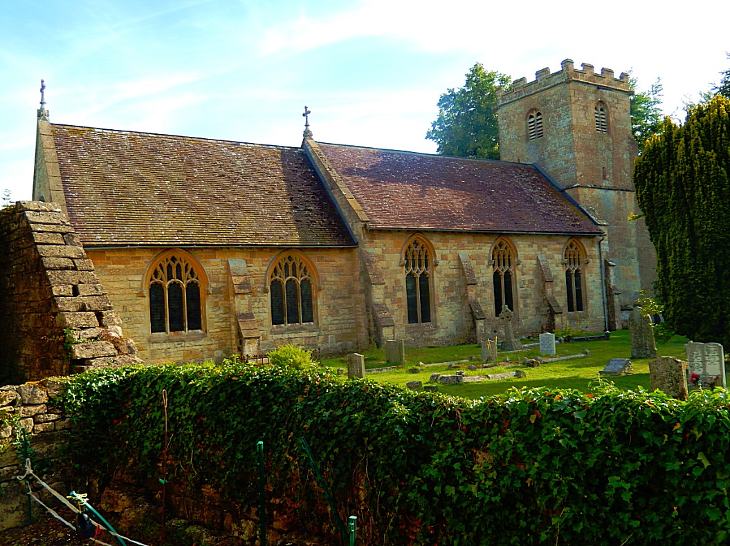
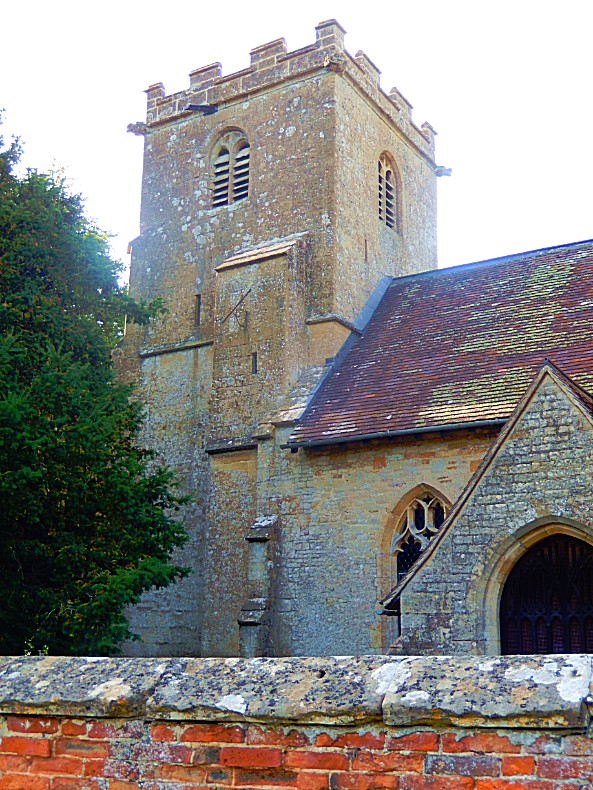
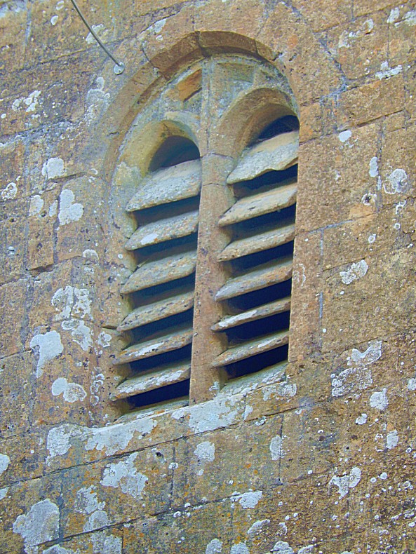
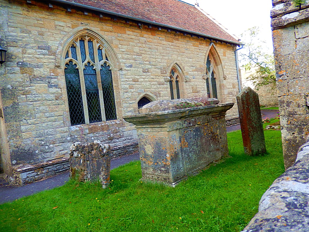
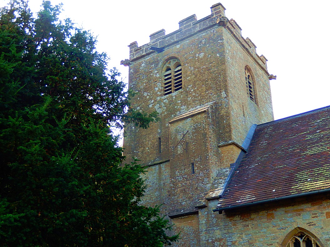
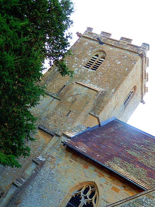
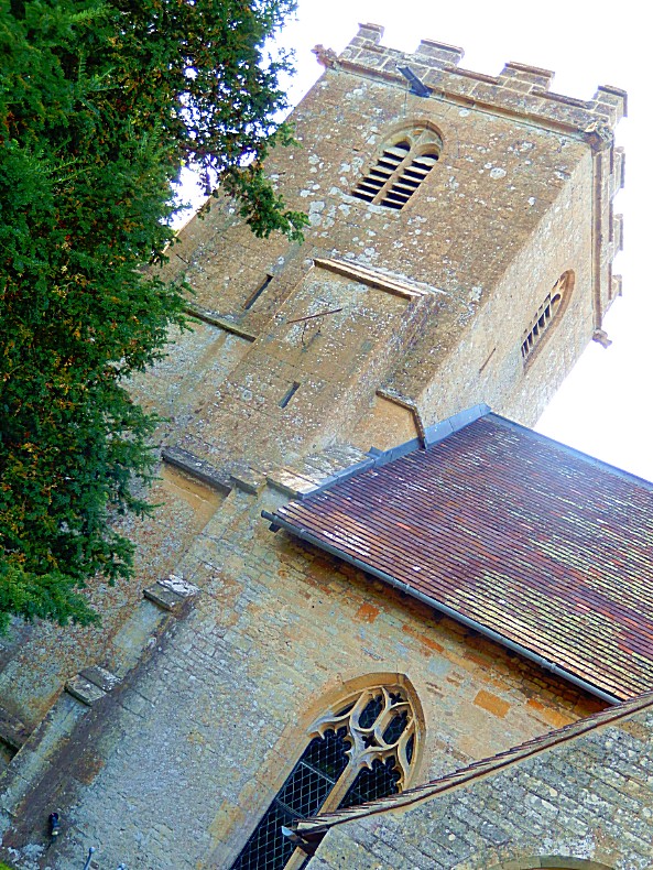
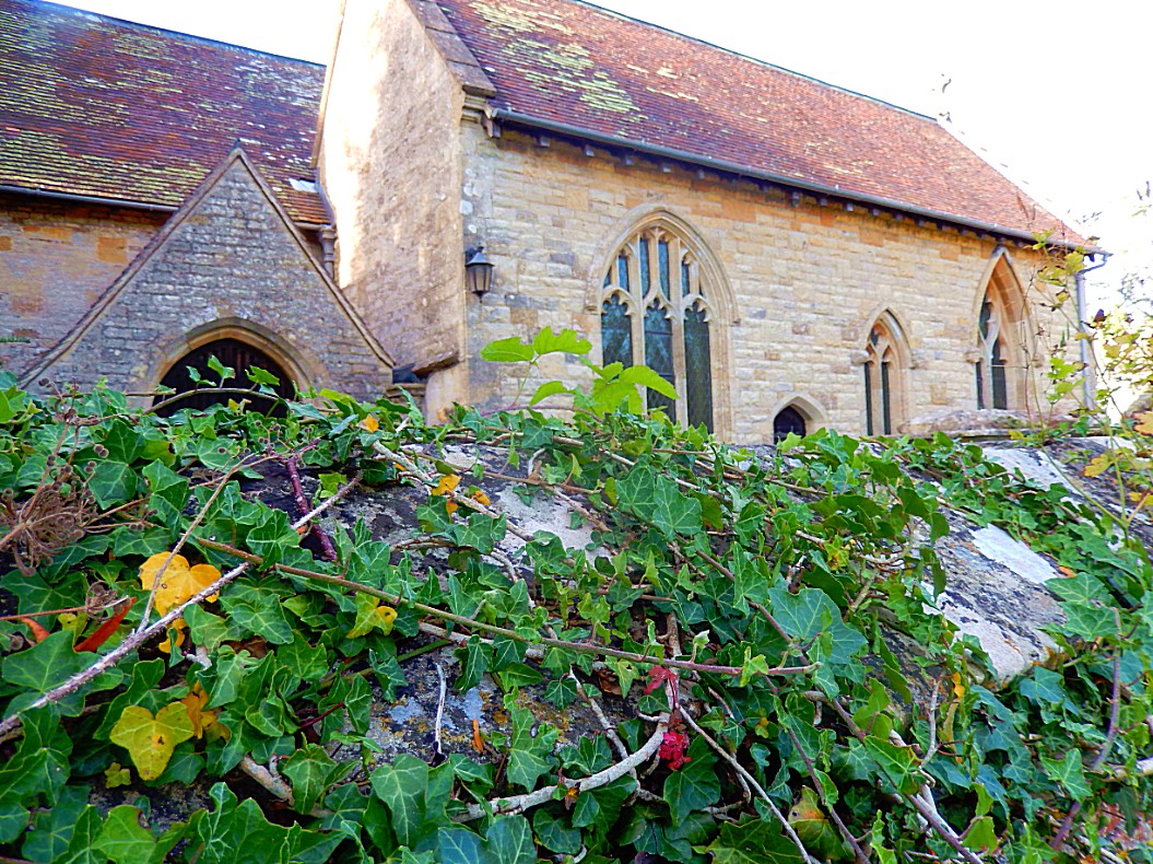
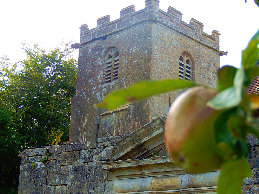
The Church of England parish church of Saint Giles had Norman features until the architect John Middleton rebuilt it in 1869-72. Middleton retained the Decorated Gothic south chapel, built in 1340 as a chantry to Saint Mary. He retained also the Perpendicular Gothic bell tower.
Dowmans Farm house was built in the 17th century. The present rectory was designed by Richard Pace and built in 1826. Its predecessor sheltered the future Charles II of England for the night on 10 September 1651, as he was fleeing from defeat in the Battle of Worcester disguised as a groom.
The village school was designed by David Brandon and built in 1857. It is now Coberley Church of England Primary School.
Reuse of old telephone boots
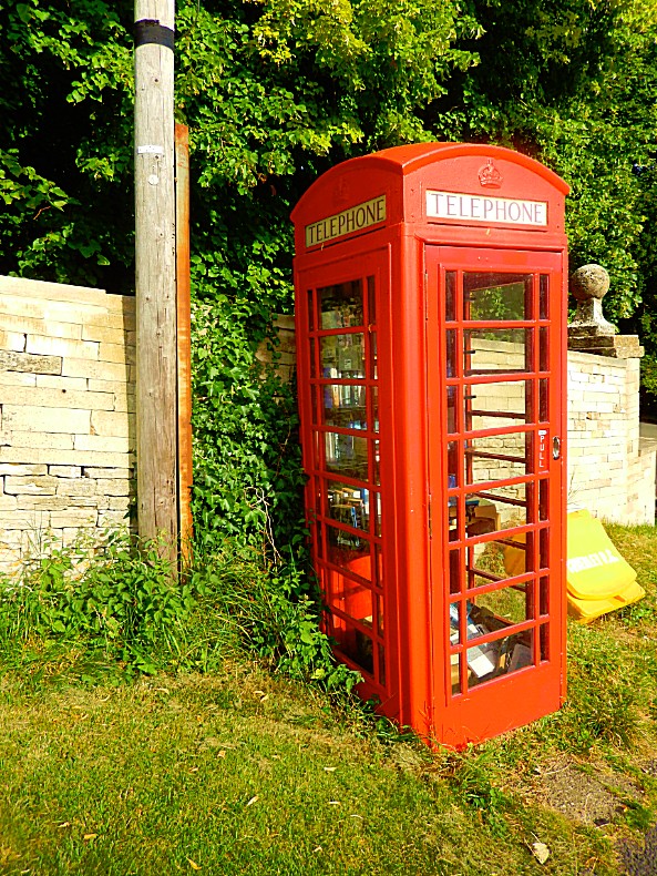
The old classic red telephone boot we all got accustomed too as an archetypical English prop, became useless after the introduction of the mobiele phone and the smartphone. But because of their iconic look, everything possible was done to save them and so people started thinking about reusage of these telephone boots.
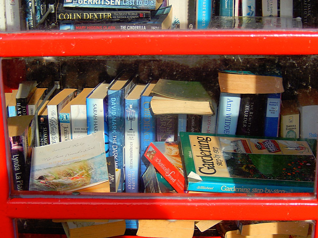
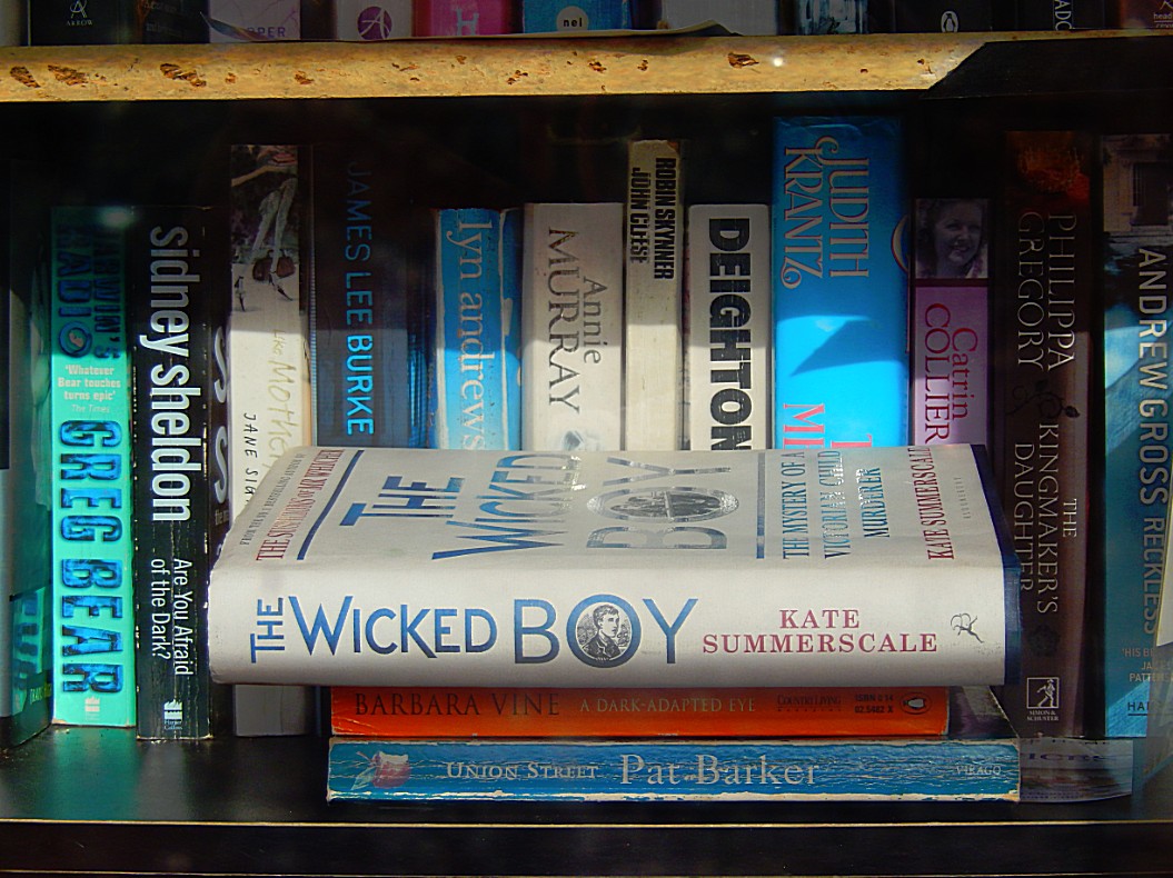
One way of reuse was to convert the booth into mini bookswap library, like this one in Coberley…
A few years ago, British Telecom began leasing old phone booths for £1, particularly encouraging uses that would serve the community. Sebastian Handley of Lewisham, London, got one and converted it intoa tiny lending library. He installed lights, carpet, and shelves, and £500 worth of books. The idea is that readers can take a book and bring it back later, or leave another in its place. The idea of phone booth libraries has spread to other areas, even to New York City, where they tend to look a little different. .
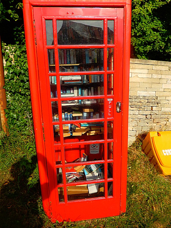
leave another in its place. The idea of phone booth libraries has spread to other areas, even to New York City, where they tend to look a little different.
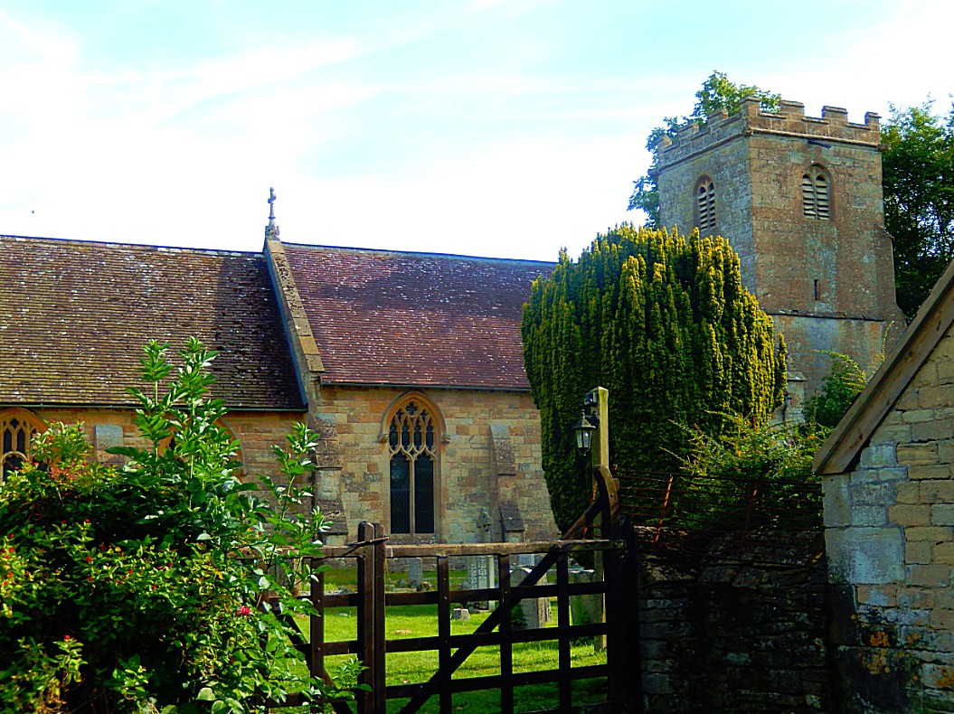
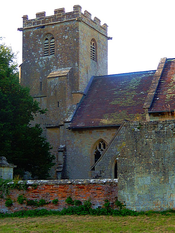
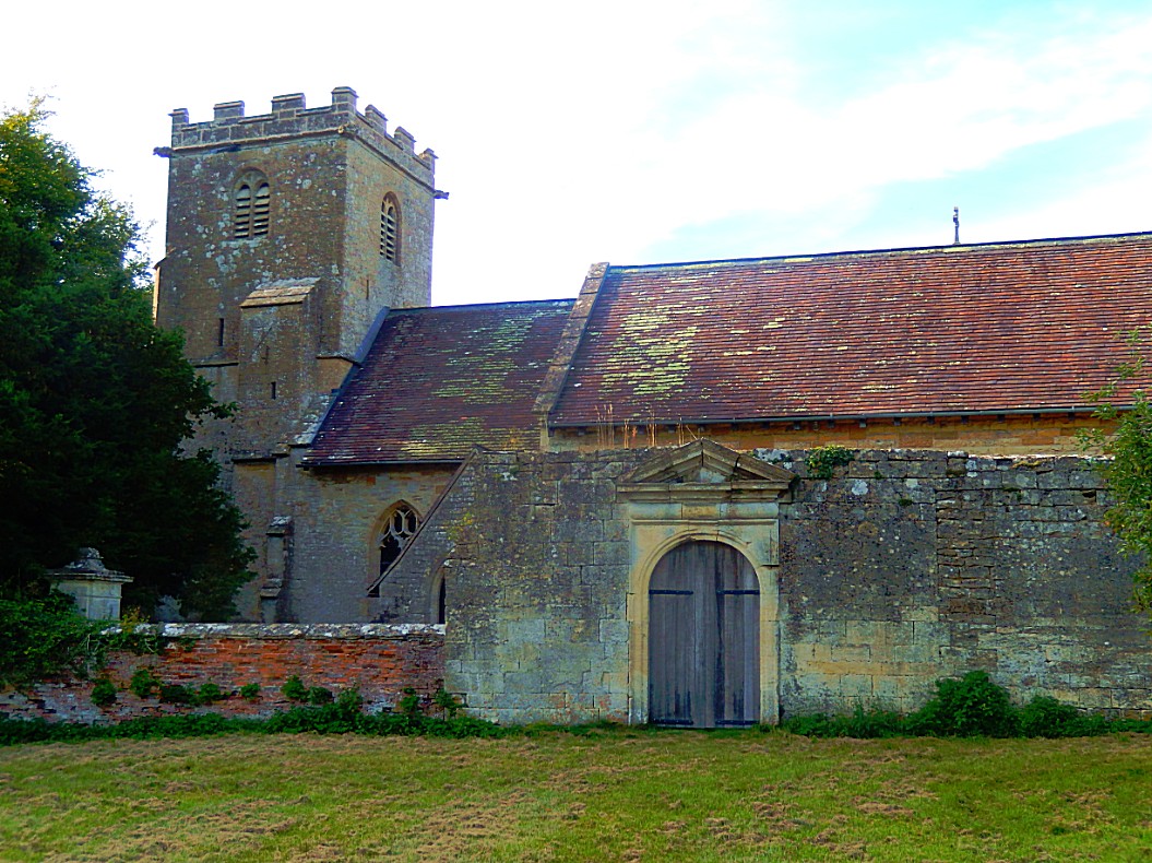
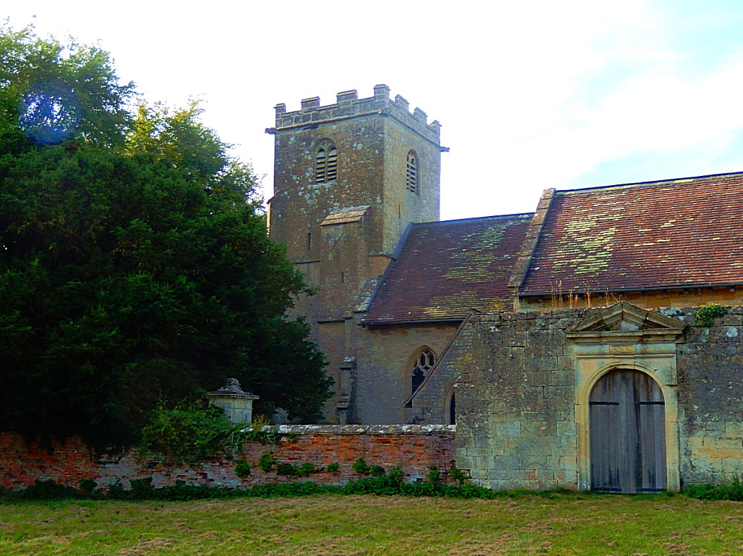
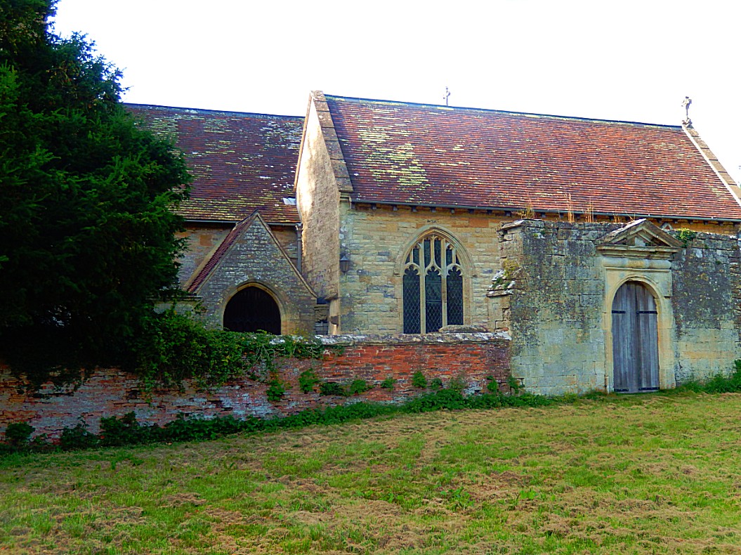
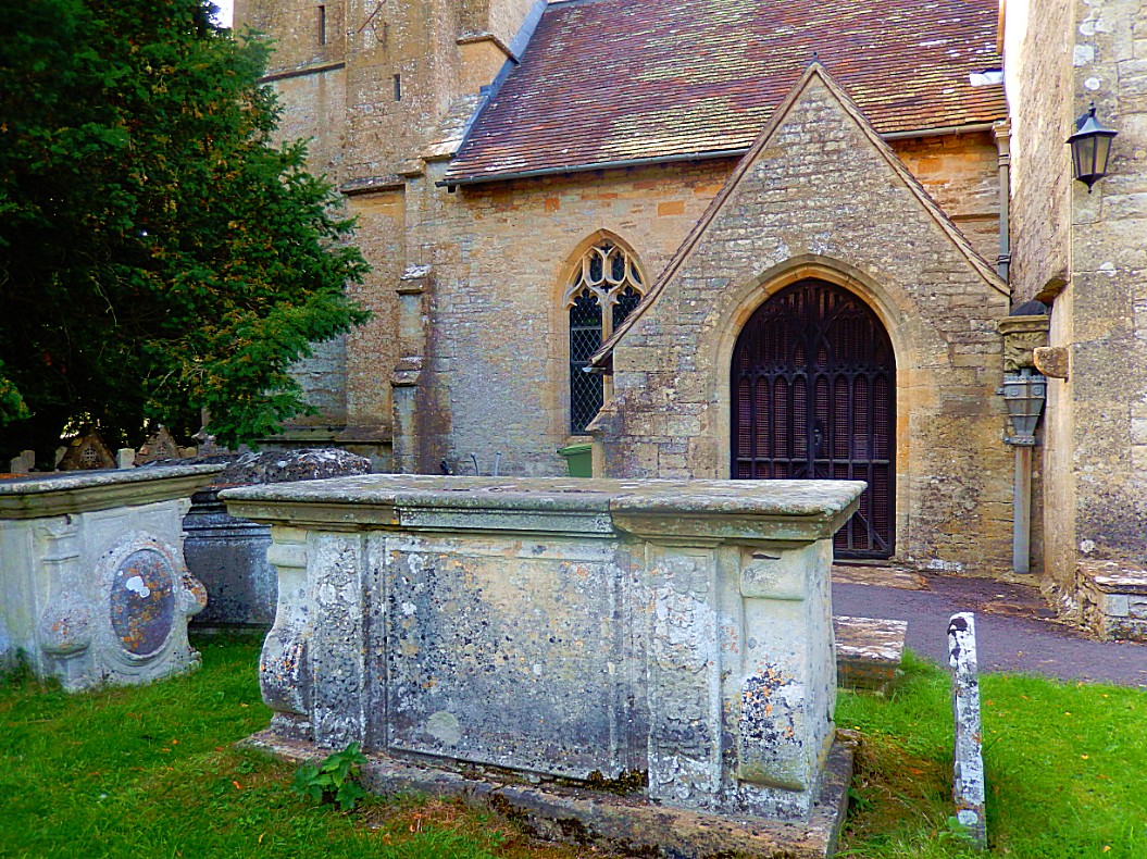
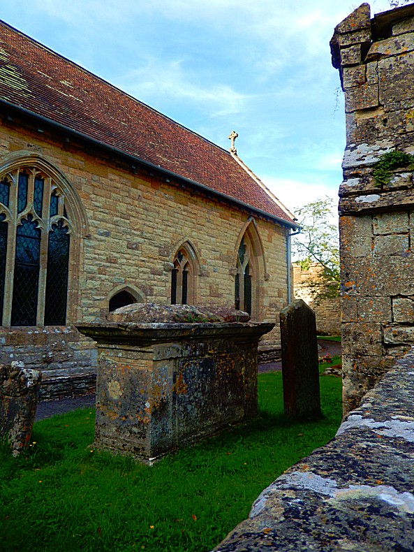
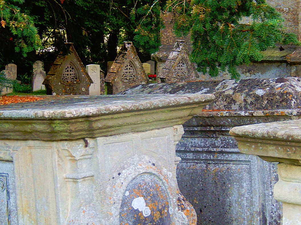
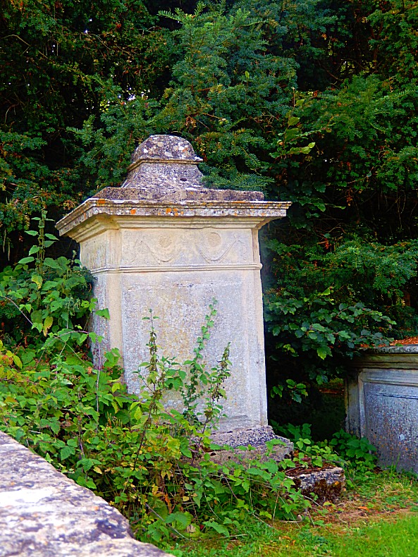
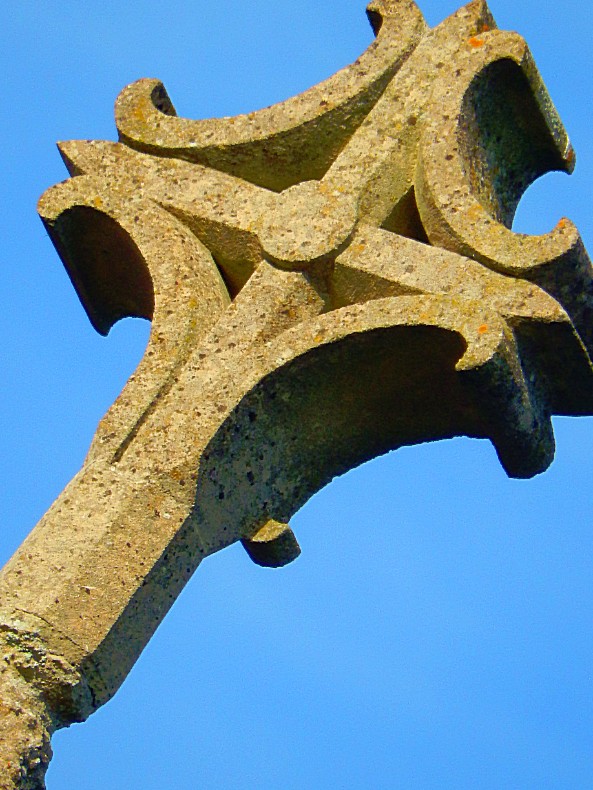
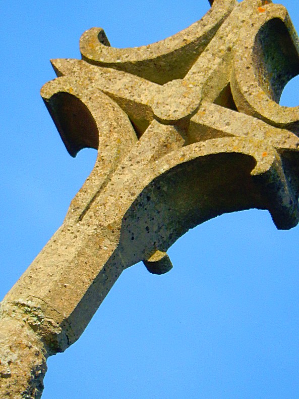
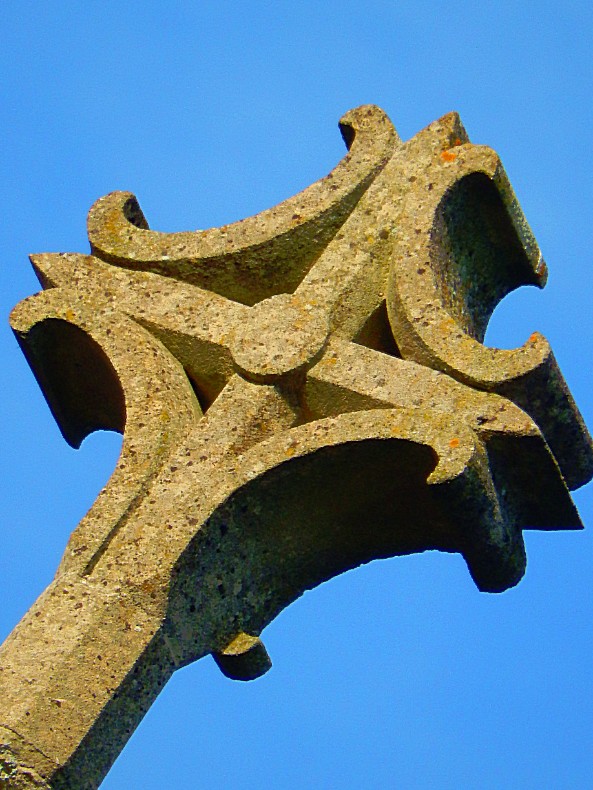
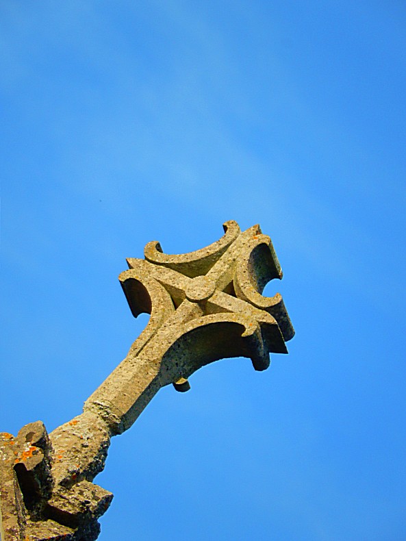
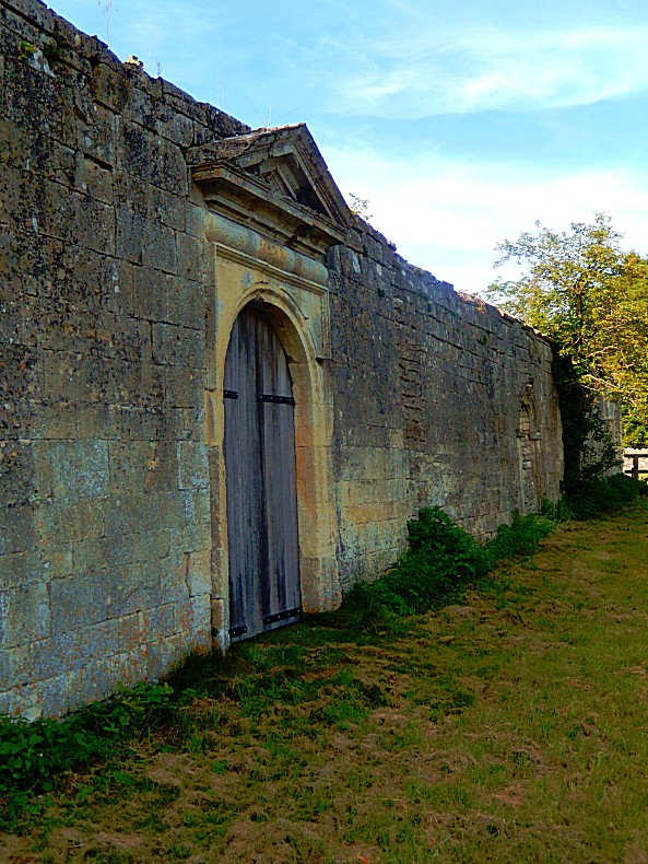
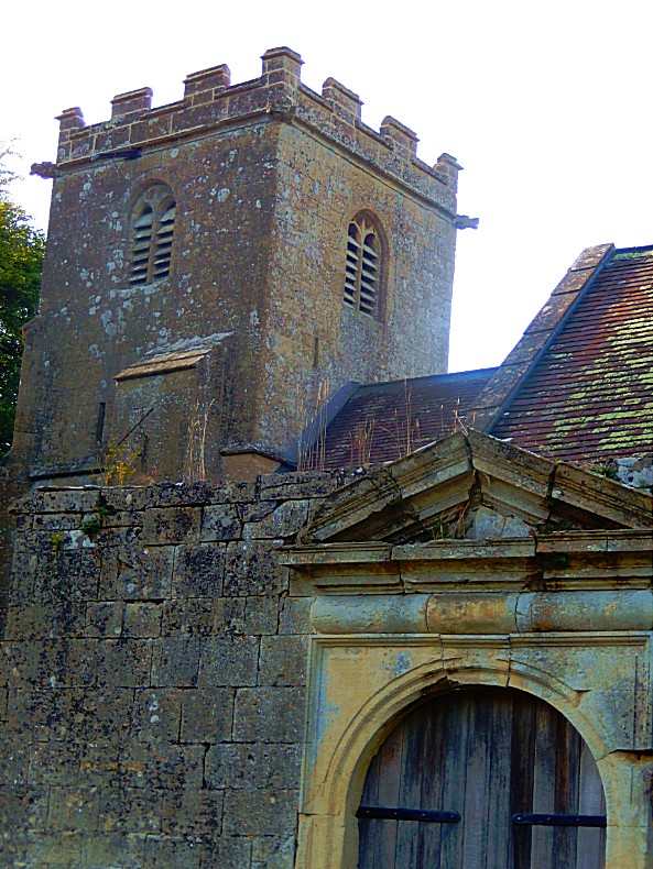
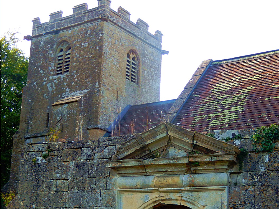
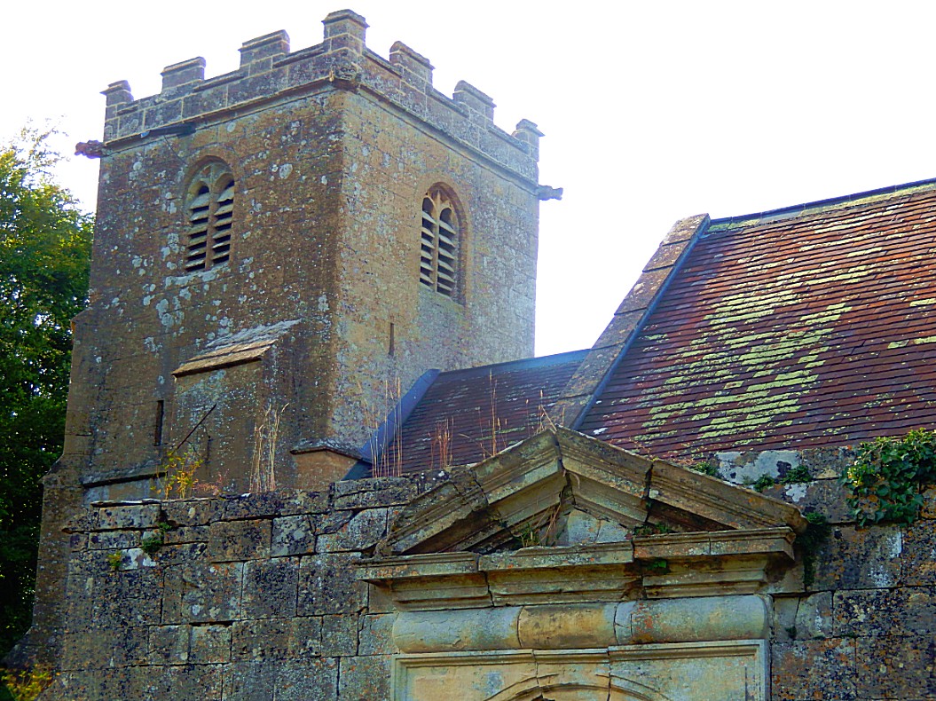
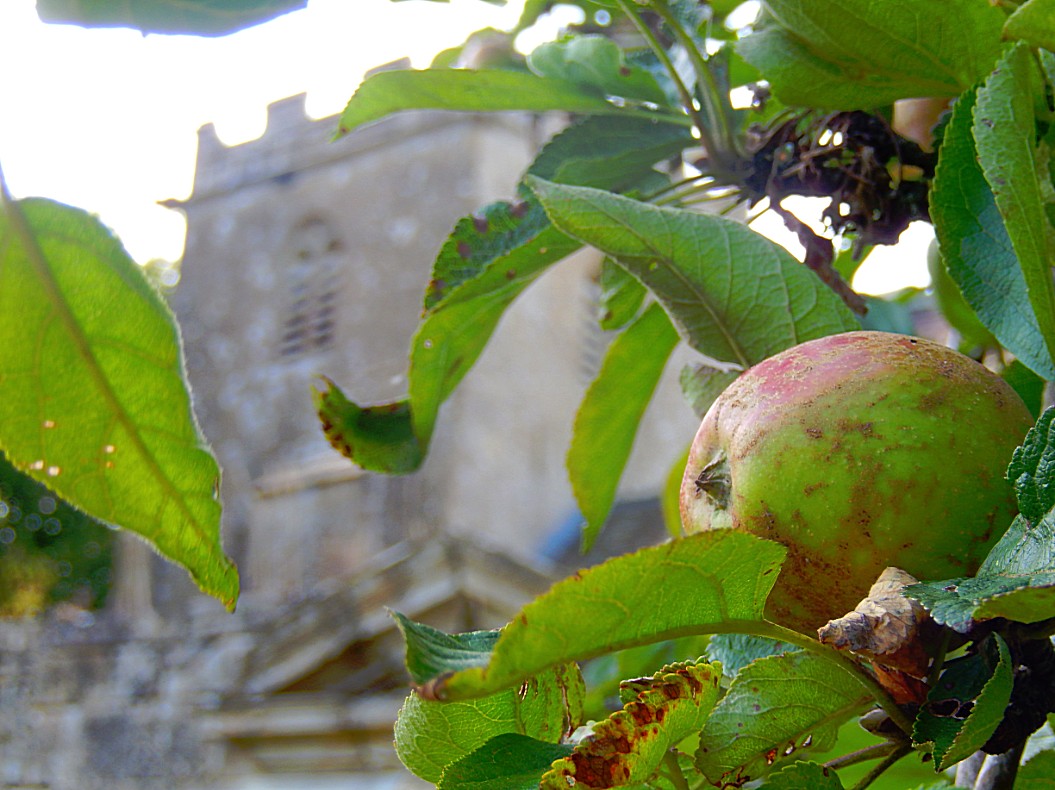
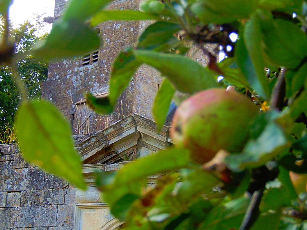
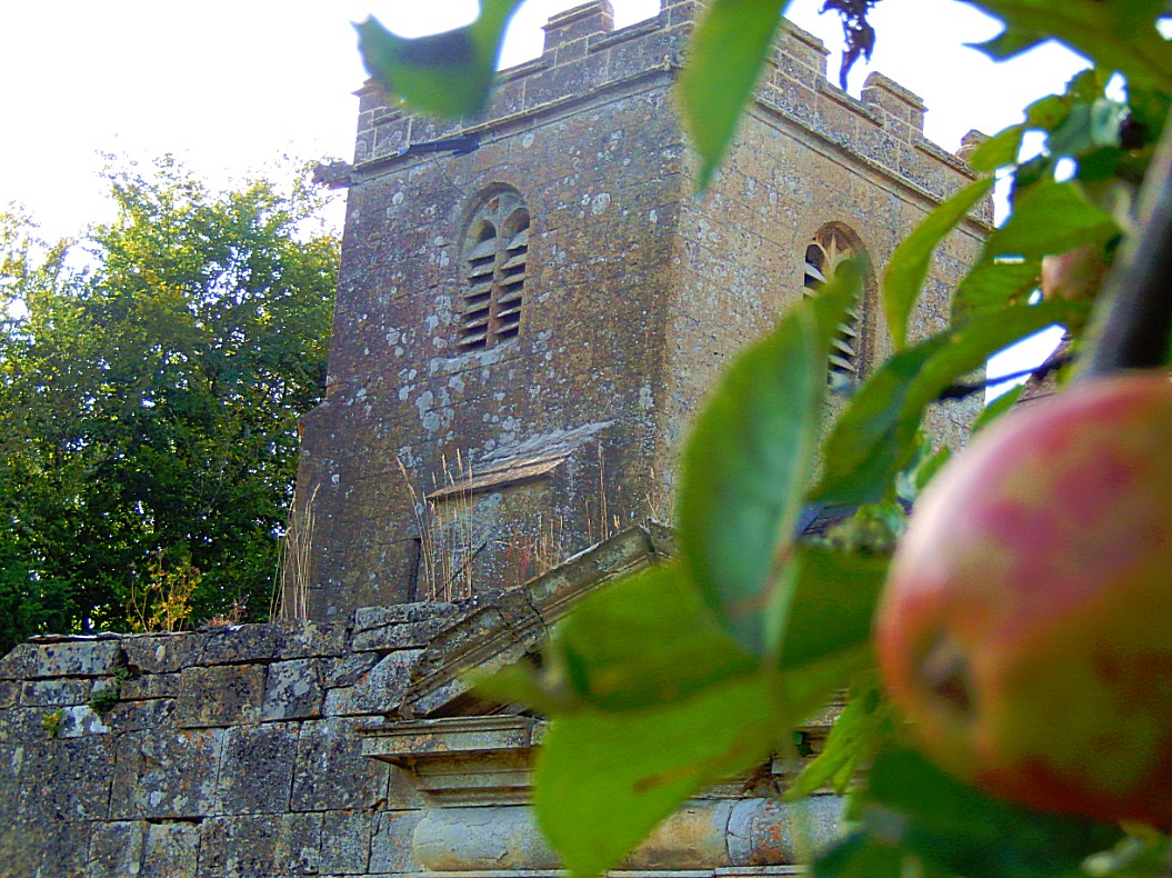
The village church of St. Giles, which can be accessed by going through an arched doorway and private garden of a farm, has many unique and rare memorials, including the ‘heart burial’ of Sir Giles de Berkeley, which is the only memorial of this kind to be found in the Cotswolds. Strangely, Sir Giles’s horse, Lombard, is buried in the churchyard also.
It is unique in that the 14th century parish church of St Giles has the only “Heart” burial recorded in the Cotswolds; it is also unusual that a horse was buried in the churchyard. The church has much earlier origins and has a number of interesting memorials.
It was in 1294 that Sir Giles De Berkeley died and his heart was buried here, a memorial recording this was erected and can be seen.
His favourite horse, Lombard, was buried in the churchyard and his burial place can also be seen, this is marked by a stone, which is situated in the churchyard directly in line with the heart burial of his master in the south wall of the sanctuary beside the altar table.
![]() At the next road, cross over to a kissing-gate and join the Gloucestershire Way. Walk on to a footbridge, cross it and veer half left up the bank to a galvanised kissing-gate, leaving the route of the Gloucestershire Way. Cross the field to the next gate and continue across farmland to a junction with a woodland path.
At the next road, cross over to a kissing-gate and join the Gloucestershire Way. Walk on to a footbridge, cross it and veer half left up the bank to a galvanised kissing-gate, leaving the route of the Gloucestershire Way. Cross the field to the next gate and continue across farmland to a junction with a woodland path.
![]() Go through the gate and, with a house and garden on the left, turn right for a few paces to a waymarked junction. Turn left for Cowley, following the clear path between fields.
Go through the gate and, with a house and garden on the left, turn right for a few paces to a waymarked junction. Turn left for Cowley, following the clear path between fields.
![]() On the far sidedrop down to a footbridge. Ascend steps, turn right by a wire fence on the left but almost immediately bear right along a faint path through conifers to a gate.
On the far sidedrop down to a footbridge. Ascend steps, turn right by a wire fence on the left but almost immediately bear right along a faint path through conifers to a gate.
![]() Go through and walk along the right-hand edge of farmland. Go through a gate and look for a stile on the right.
Go through and walk along the right-hand edge of farmland. Go through a gate and look for a stile on the right.
![]() Climb it, bear left across a field passing along the left-hand edge of a circle of trees.
Climb it, bear left across a field passing along the left-hand edge of a circle of trees.
![]() Go through a galvanised gate and continue across the next field, keeping by a wall on the right, to climb another stile. Continue along a track to a lane and keep ahead into the estate village of Cowley.
Go through a galvanised gate and continue across the next field, keeping by a wall on the right, to climb another stile. Continue along a track to a lane and keep ahead into the estate village of Cowley.
Cowley
Cowley is a village and civil parish in the Cotswold District of Gloucestershire in England. It lies between the A417 and A435 roads between Cheltenham and Cirencester in the Churn Valley, and has a population of 333. The name originates from ‘cow’ and ‘leigh’, literally meaning cow pasture.
Its main features are Cowley Manor which was owned by the Horlicks family and is currently being used as a country hotel. The local parish church of St. Mary lies next to the Manor and dates from the 12th century. The village pub is the Green Dragon which is not far from the Gloucestershire Girlguide HQ, Deerpark. Cowley also has a strong Sunday cricket team, which plays at the nice ground towards the west side of the village near the Green Dragon pub. The village used to own its own village hall (which used to be the old school house), however the parish council have sold this in recent years and it has been converted into a private residence. Considering that it has a pub, hotel, church, and Girlguide HQ Cowley still can boast a post box and telephone box as the only forms of public amenities. The local town and shops are in Cheltenham, and many people who live in the village work in Cheltenham, even though Cirencester is only 30 mins drive away. The village consists of approximately 40 houses and they are scattered around a circular road that curls up the edge of a small valley and then runs back down the bottom of the v shape. The ‘back lane’ has only two houses on it compared to the higher lane that holds most of the residents. Further up the small valley is a collection of three houses on a hilltop. One knows when they are entering Cowley from the A435 as they enter through two large pillars, either side of the road entrance, existing from the entrance of the Cowley Manor estate and the road is beautiful on any sunny day as the long avenue of Lime and Horse chestnut trees splinter the light across the road.
The village falls in ‘Ermin’ electoral ward. This ward starts in Cowley in the north, follows the A417 road, and ends at Daglingworth in the south. The total ward population taken in the 2011 census was 1,793.
Attractions around the area include Cirencester, Shabb Hill scenic view, Crickley Hill Country Park, and Cheltenham.
The village is very popular with ramblers and general Cotswold visitors. Many of the residents are not local to the area anymore, but have settled in the village due to its quick connections to London.
Here there is a classic English combination of great house and church side by side. The former – now a nursing home – is a huge 19th century mansion and the latter – an attractive medieval church – was heavily restored when the house was built.
![]() In the village, follow the lane around a right-hand bend and take the first turning on the left, signposted to Gloucestershire Guide Headquarters.
In the village, follow the lane around a right-hand bend and take the first turning on the left, signposted to Gloucestershire Guide Headquarters.
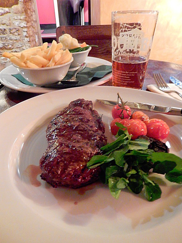
![]() The lane soon bends left and you keep along it for nearly 0,5 a mile to a T-junction in front of the Green Dragon Inn at Cockleford, wher we end this beautiful walk through Shire country with a pint of the Golden Ale and a sturdy meal…
The lane soon bends left and you keep along it for nearly 0,5 a mile to a T-junction in front of the Green Dragon Inn at Cockleford, wher we end this beautiful walk through Shire country with a pint of the Golden Ale and a sturdy meal…

