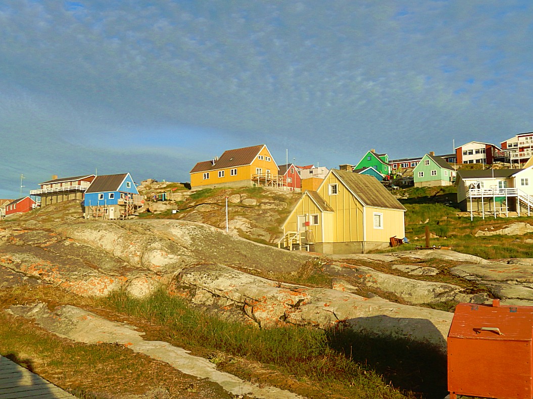
6. Greenland: Hiking at the Kangia Icefjord: 3. (part of the) Blue Trail (2.7 kilometres) – 2017
The third trail starts at the quarry just on the outskirts southeast of Ilulissat and the complete trail is 6.9 kilometres long. But I didn’t walk the complete trail but started where the reed trail ended and where it joined the Blue trail at Holms Bakke (number 11 on the elevation diagram below).
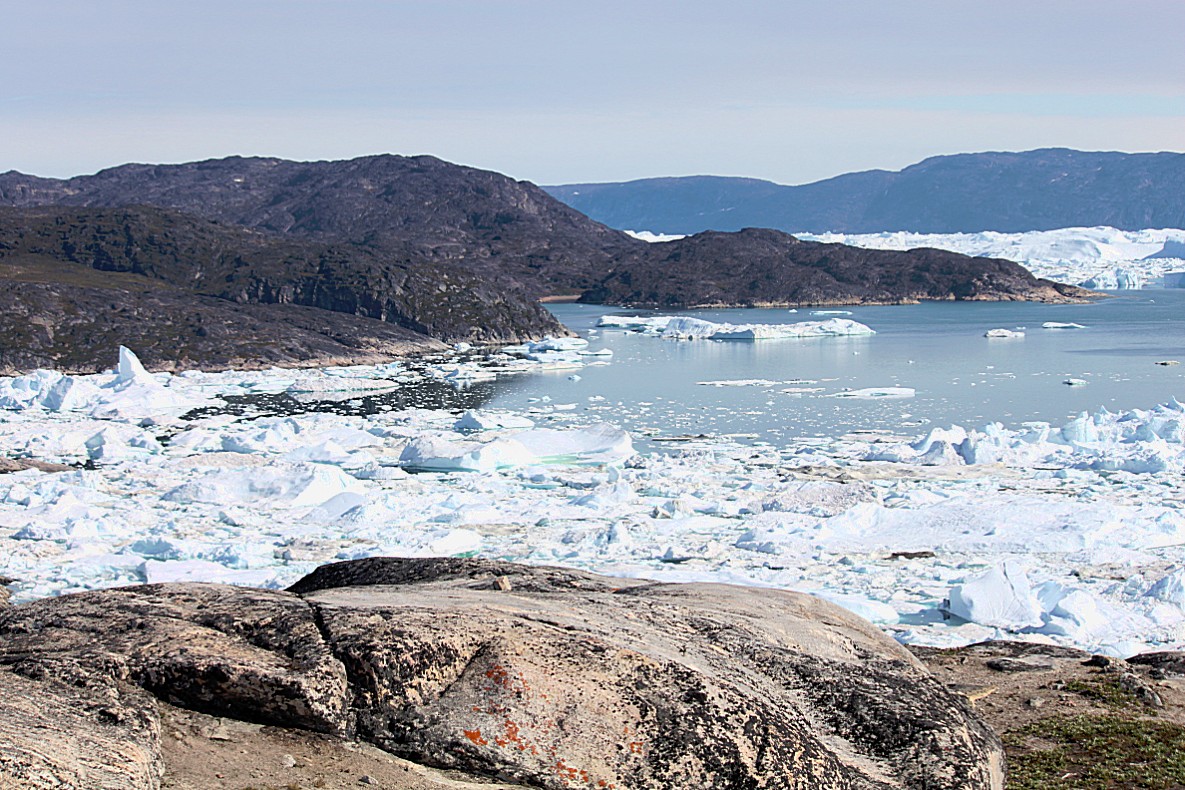
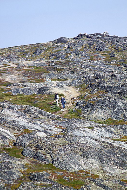
 The walk started with a steep climb towards the top of Holms Bakke where I could enjoy some gorgeous breathtaking views over the Kangia Icefjord…
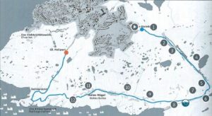 The Blue Trail is a 6.9 kilometres/4-5 hrs walk from the Quarry to the Kangia Icefjord at Holms Bakke (Holms Hill) where it is joined by the red trail and where the last 2.7 kilometres to the GL Heliport start.
 The above graph shows the elevation level on route…
The description that follows only applies to the part of the route starting at number 11 towards the GL Heliport. From the Heliport 2 (or 3) other trails start. The yellow trail, which I walked in the morning ends (or starts if you walk the other way around). Then there’s the UNESCO World Heritage trail via Sermermiut to the Kangia Icefjord and the red trail from the Heliport to Holms Bakke.
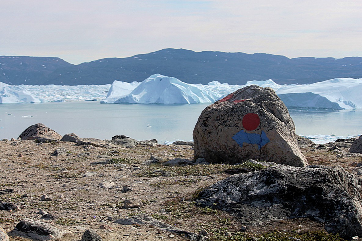
At the end of the red trail is a marker stone with a red dot and a blue arrow pointing in two directions. Left is the route to the Quarry, right is the route via Sermermiut to the GL Heliport. I took the right route.
The 1st part of the trail starts on top of Holms Bakke (number 11 on the elevation diagram above) which is the spot where the people of Ilulissat celebrate the 1st sunrise after the long winter night. Now it is a bit past Mid Summer and the sun is already (but only since a few days) setting for a short while at midnight. But it doesn’t get dark though.
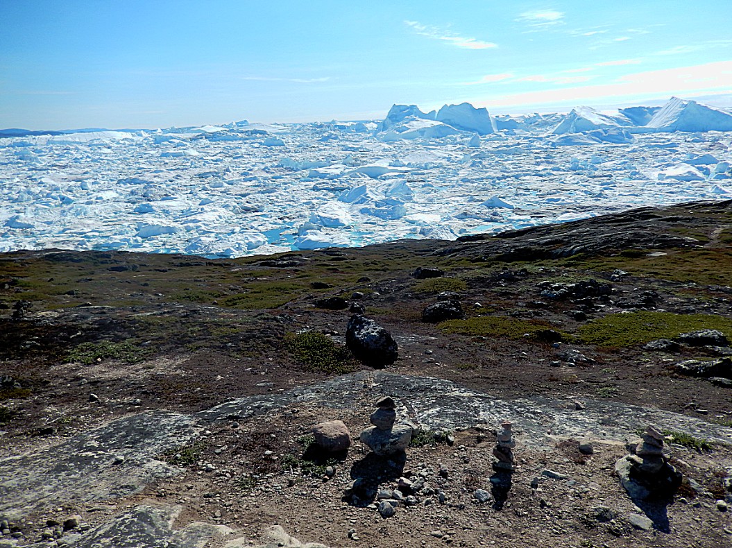
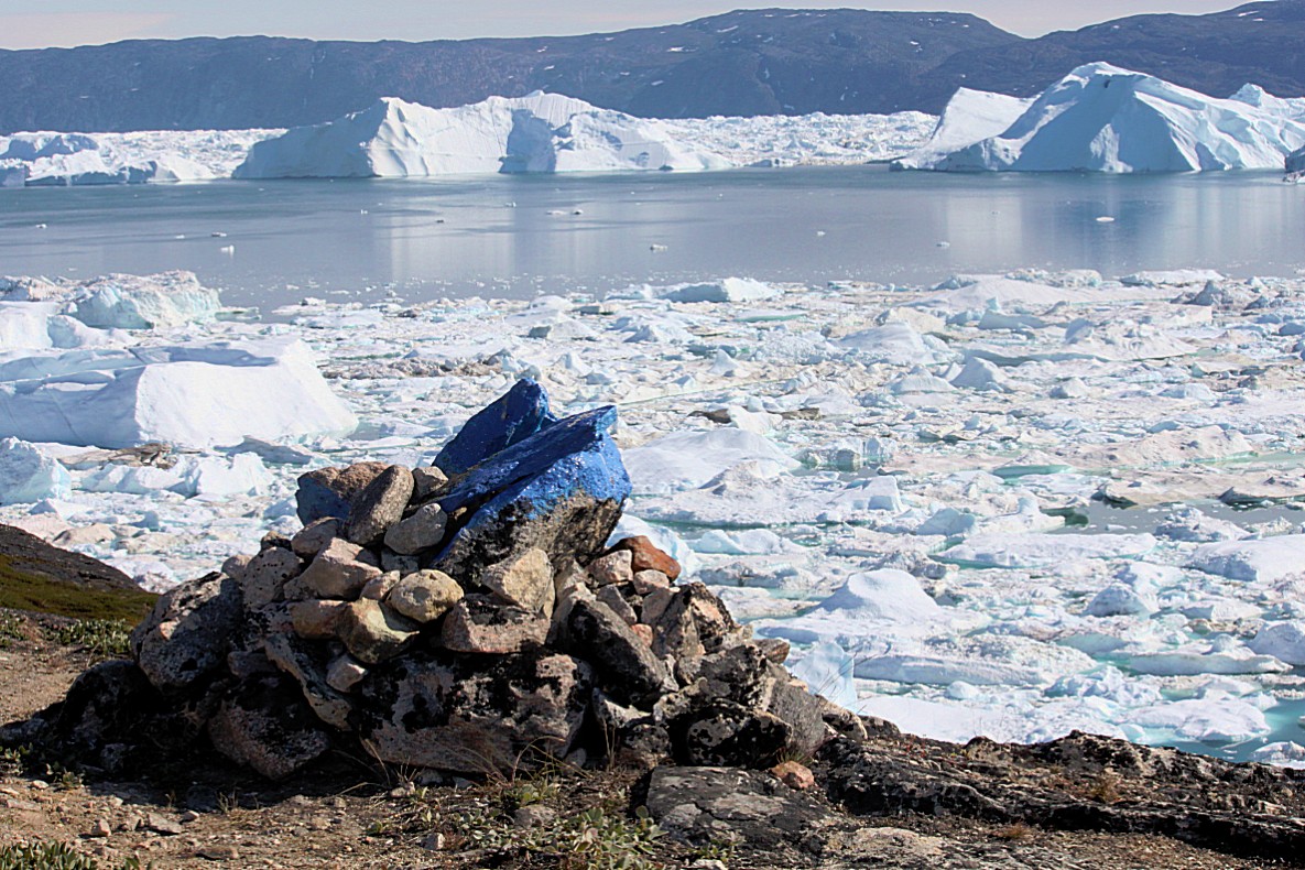
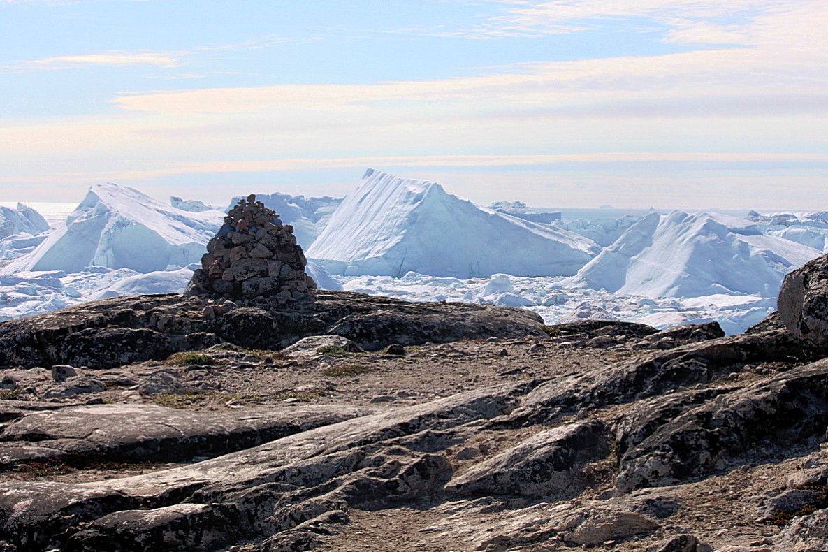
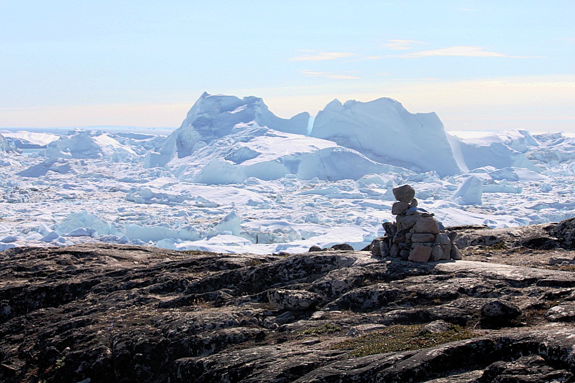
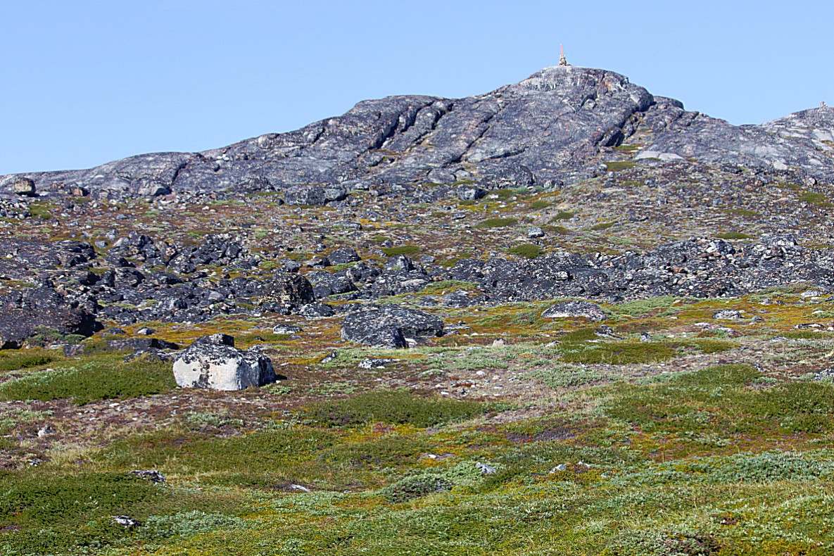
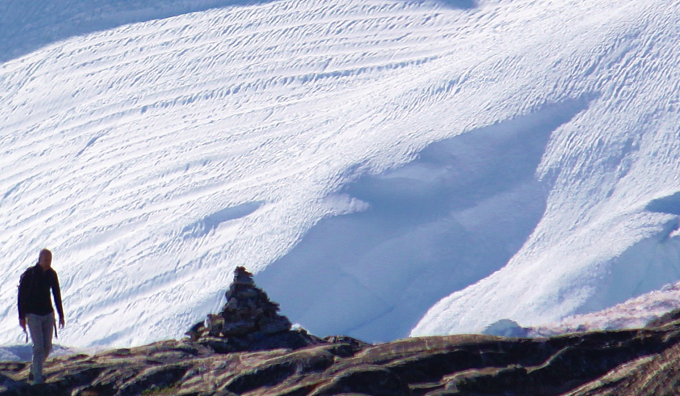
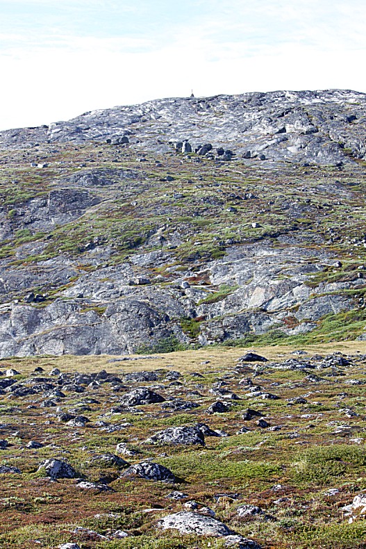
Walkers and hikers leave a stone on top of a turret when they reach a mountain top, hill summit or the highest point of a mounitain pass. I’ve seen this custom everywhere on this world where there are mountains to climbed and trails to be followed whether in Lapland, Tibet or now in Greenland…
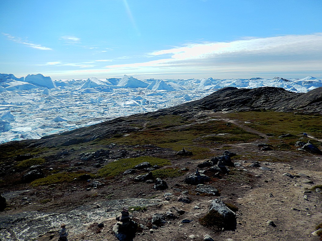
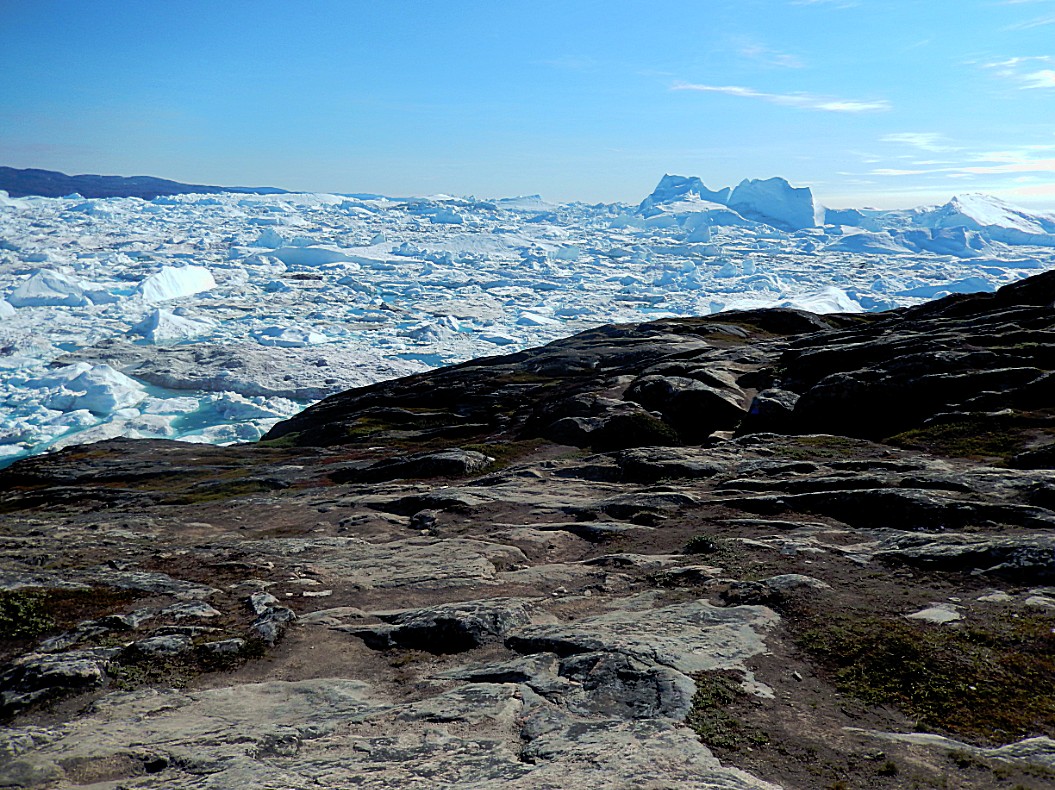
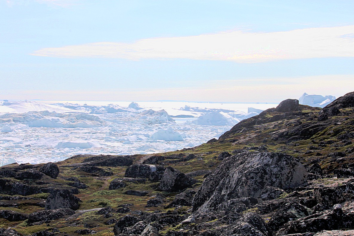
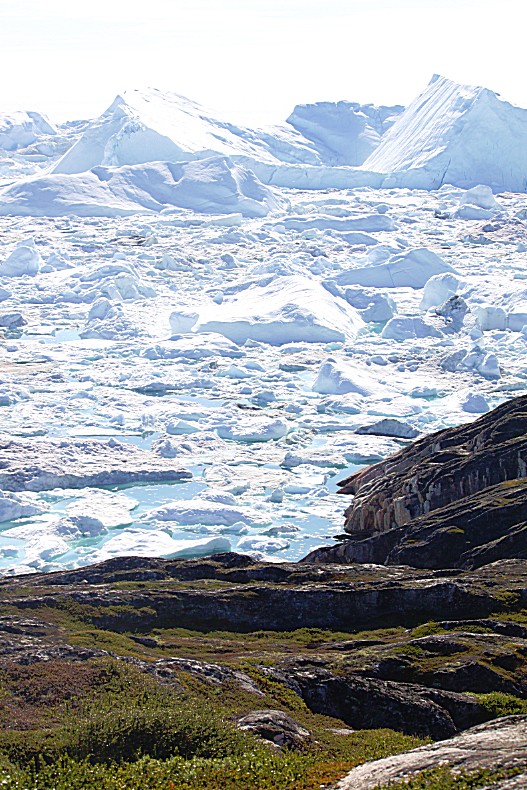
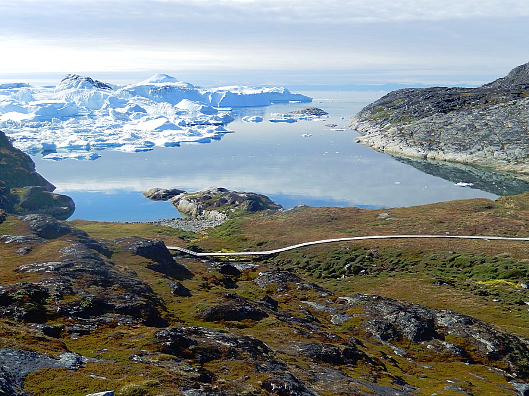
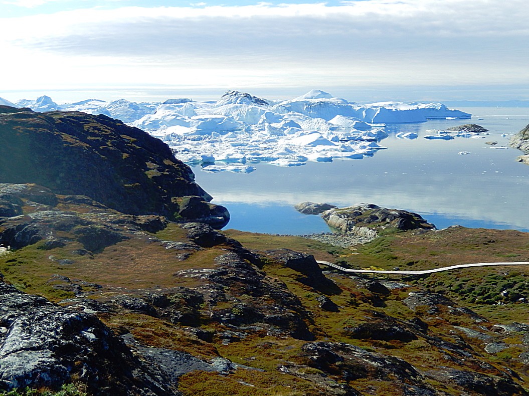
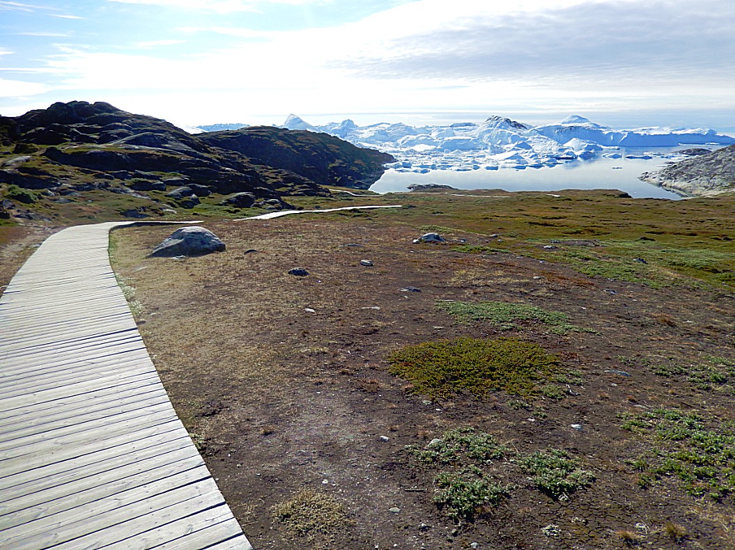
The trail’s first stretch on Holms Bakke provided some of the very best views over the Kangia Icefjord. When I walked the yellow trail in the morning, there were some light clouds but now most of those clouds had disappeared leaving a beautiful blue sky… I started to follow the trail towards the edge of Holms Bakke…
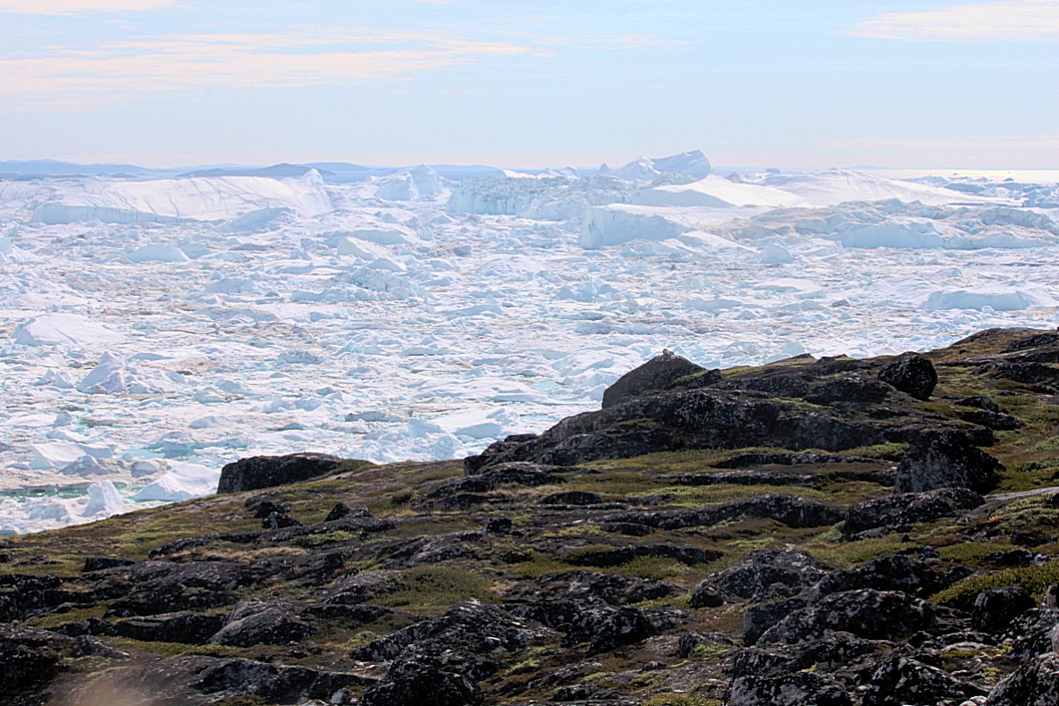
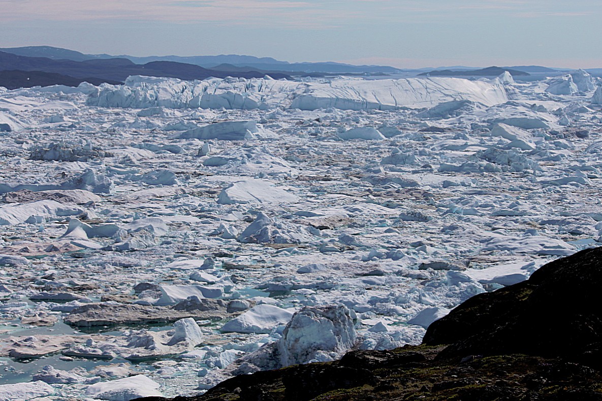
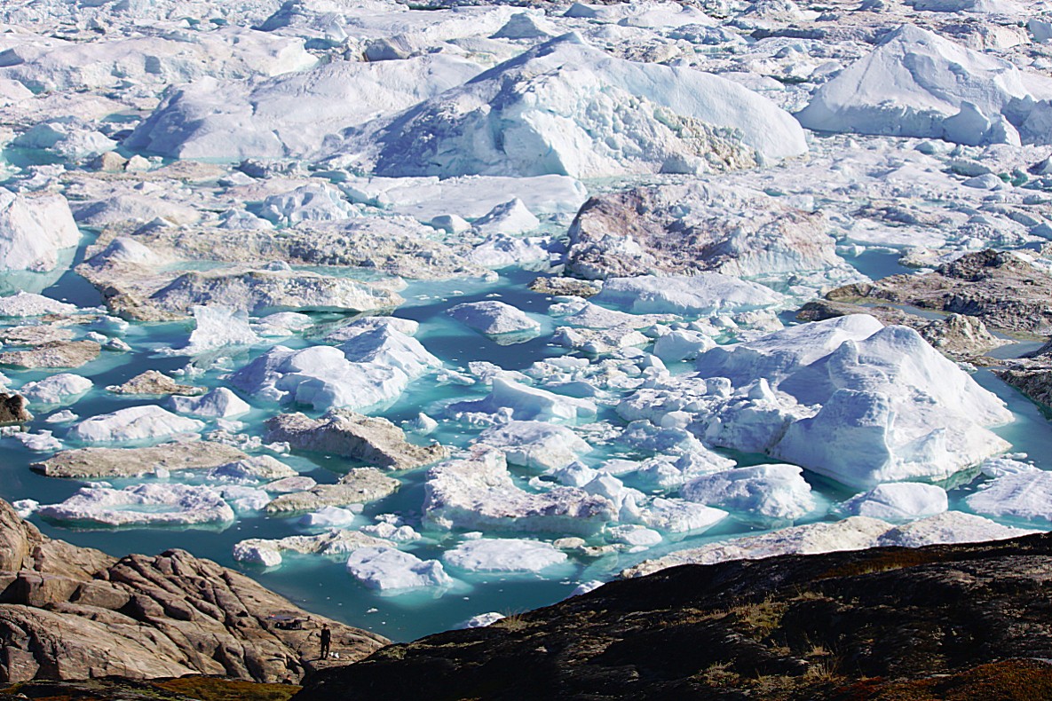
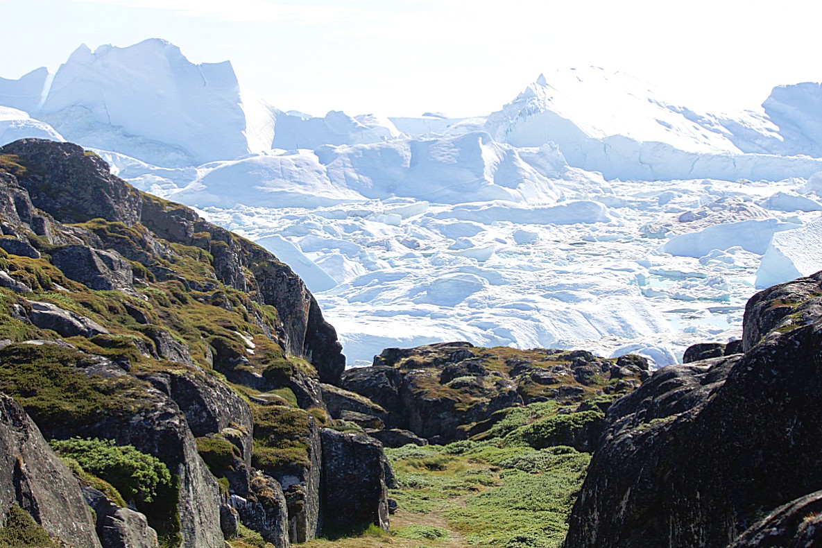
…and then I simply couldn’t believe what I saw. This was the 2nd time today that I got really quiet and my walking tempo that had been considerable until this spot, just totally collapsed. The next hours I was strolling, sitting on rocks and just trying to grasp what I saw…
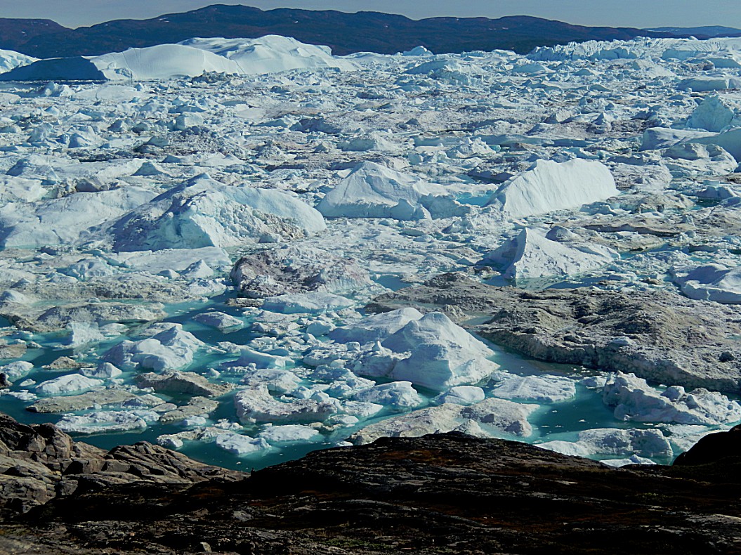
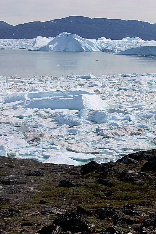
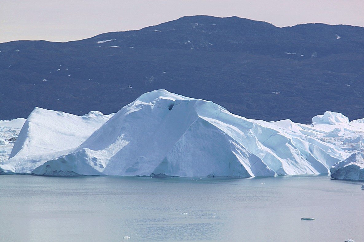
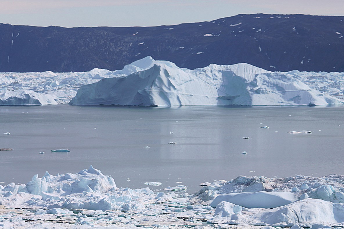
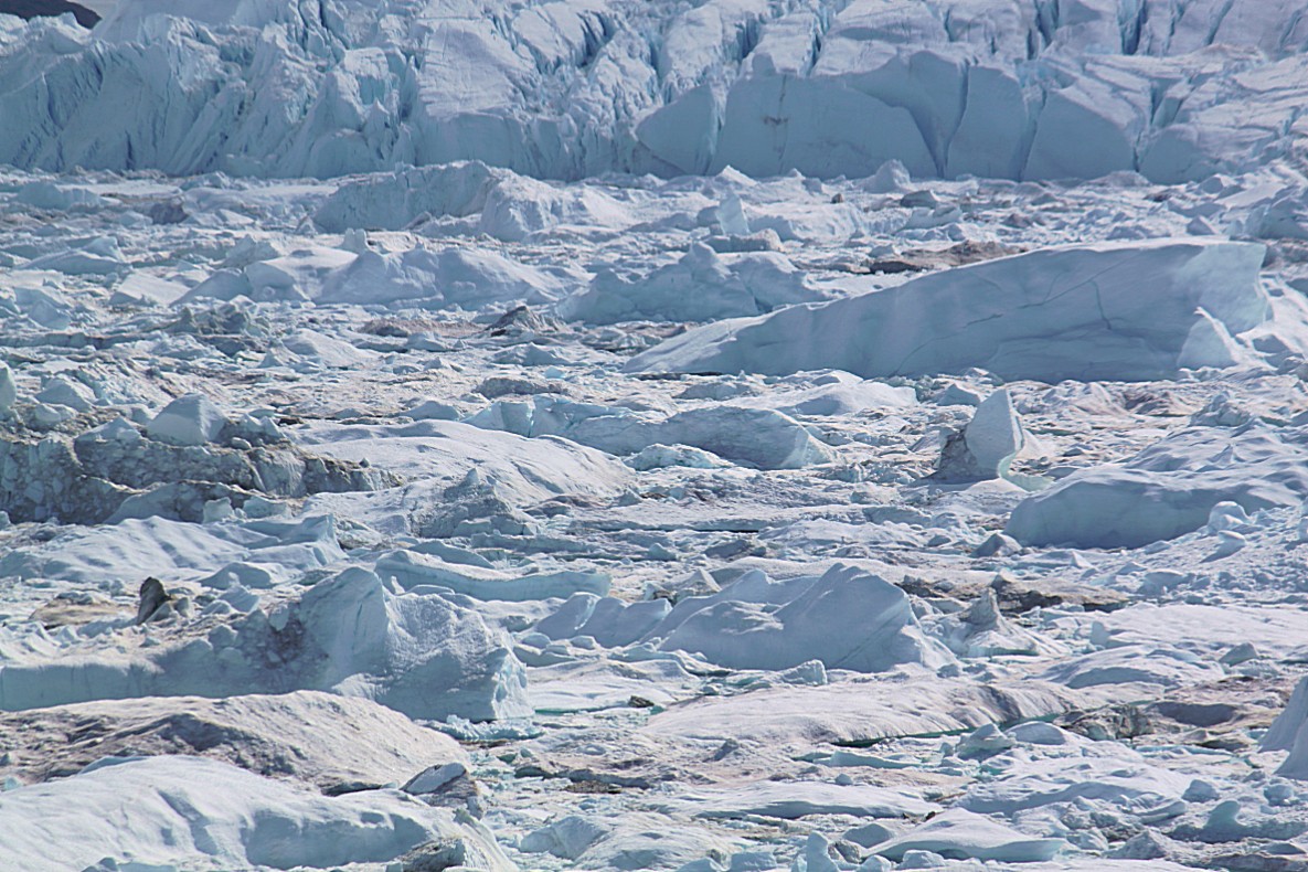
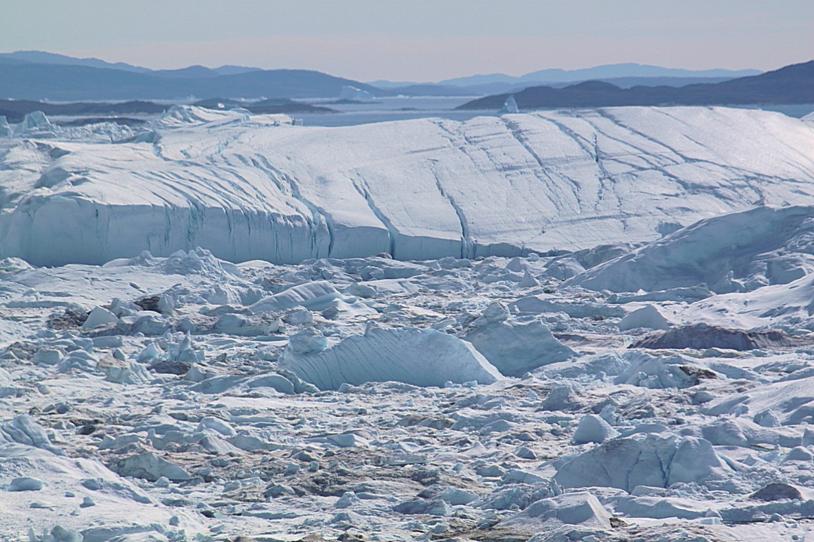
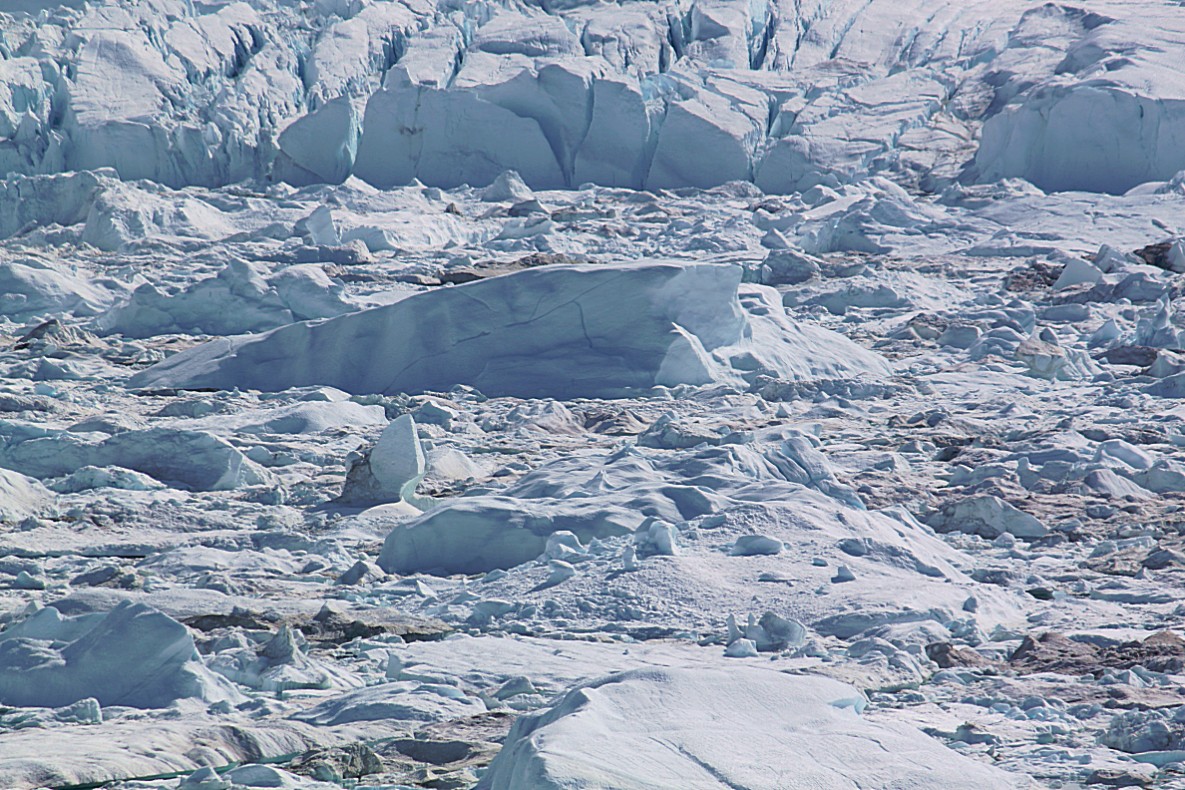
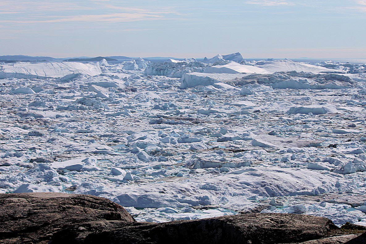
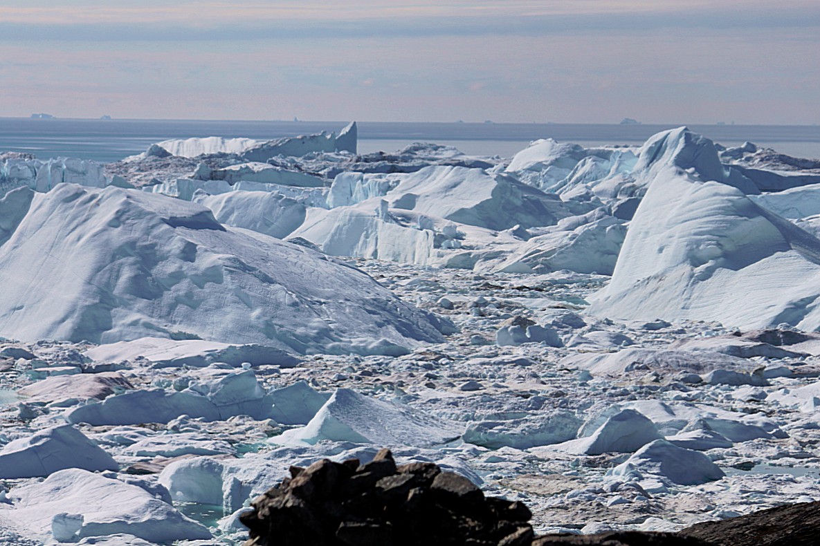
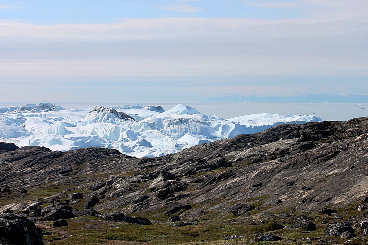
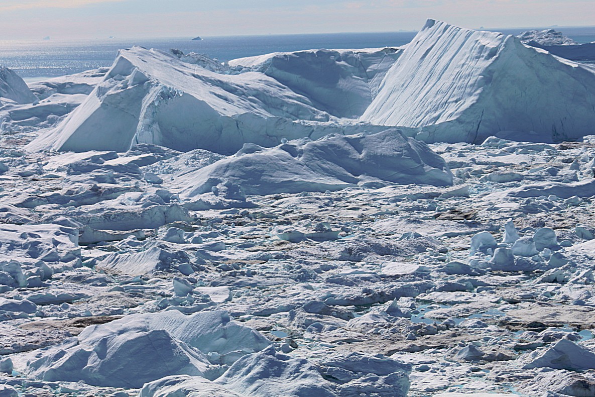
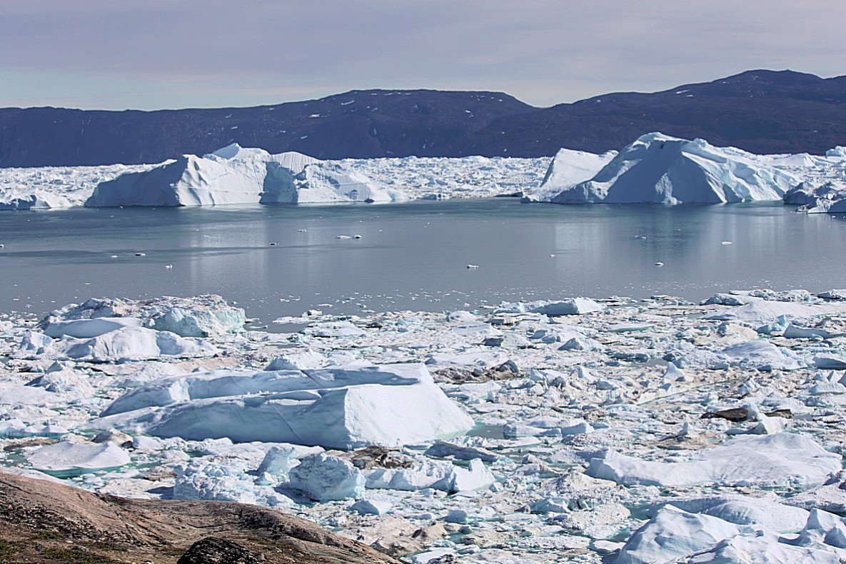
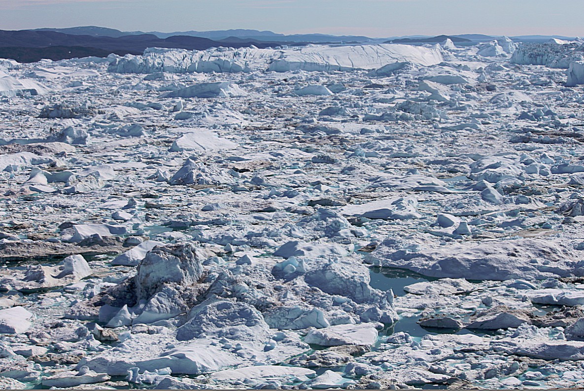
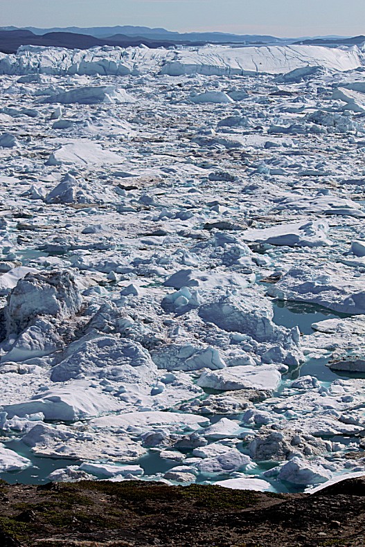
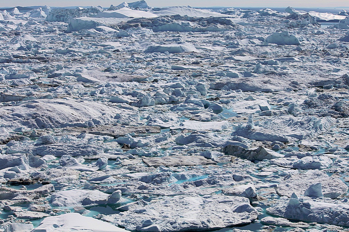
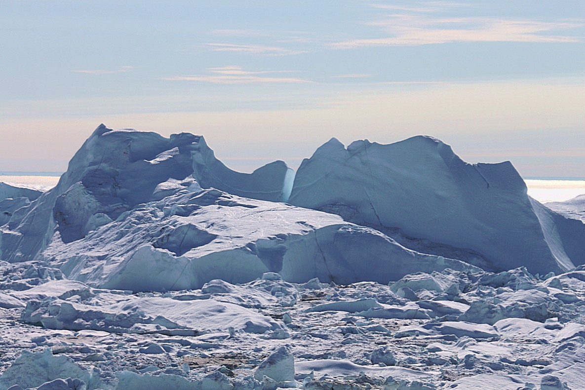
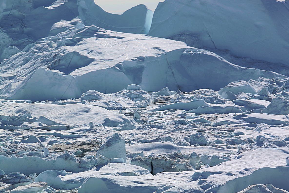
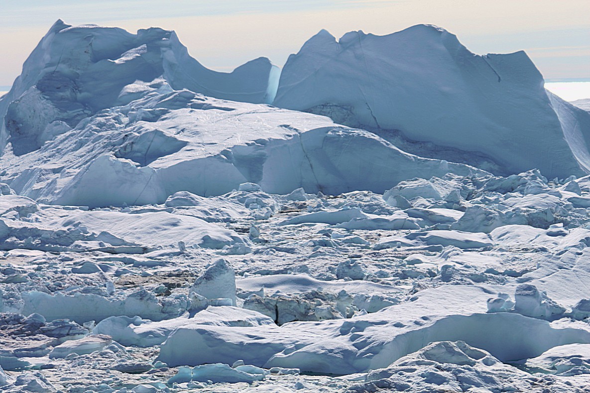
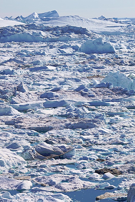
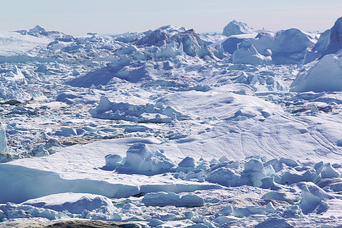
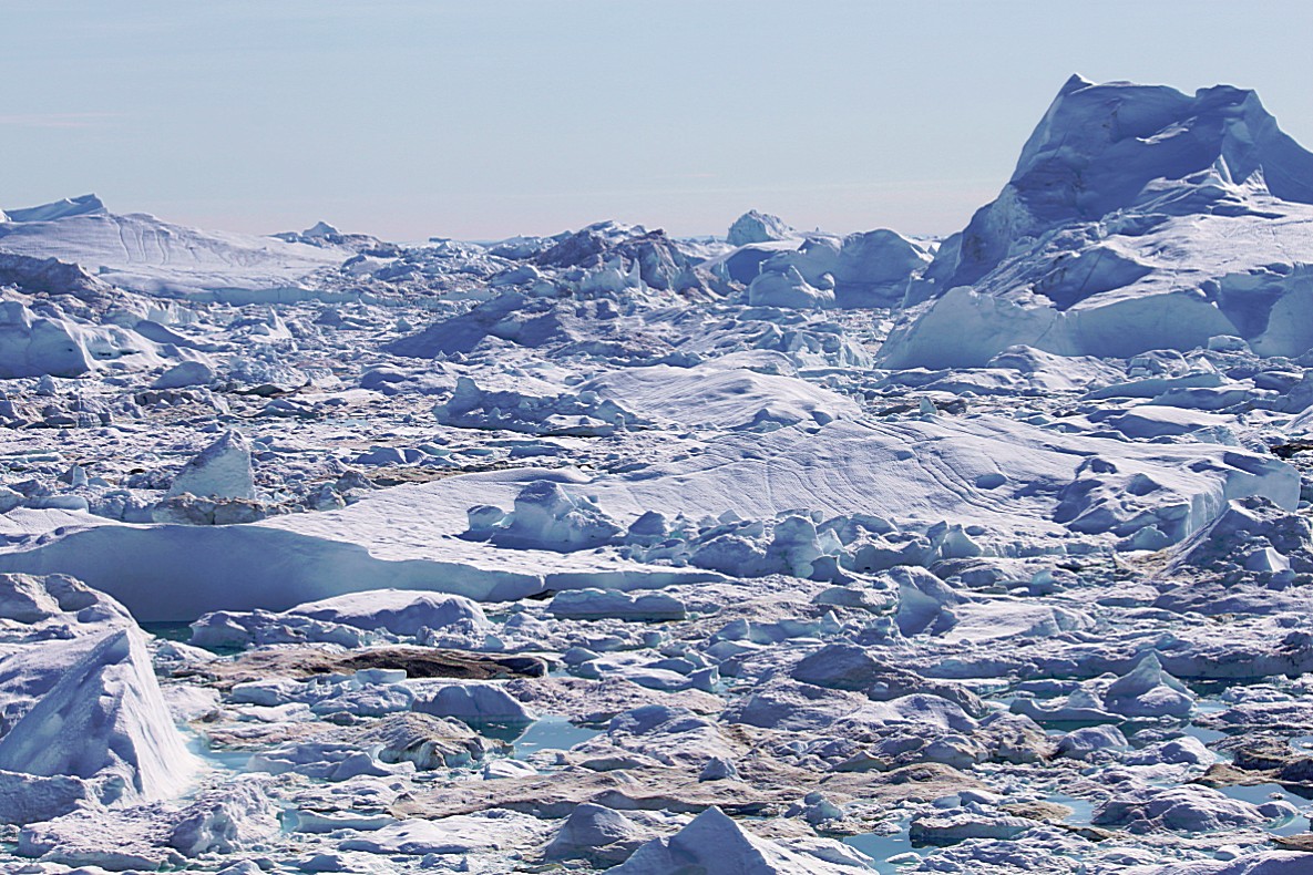
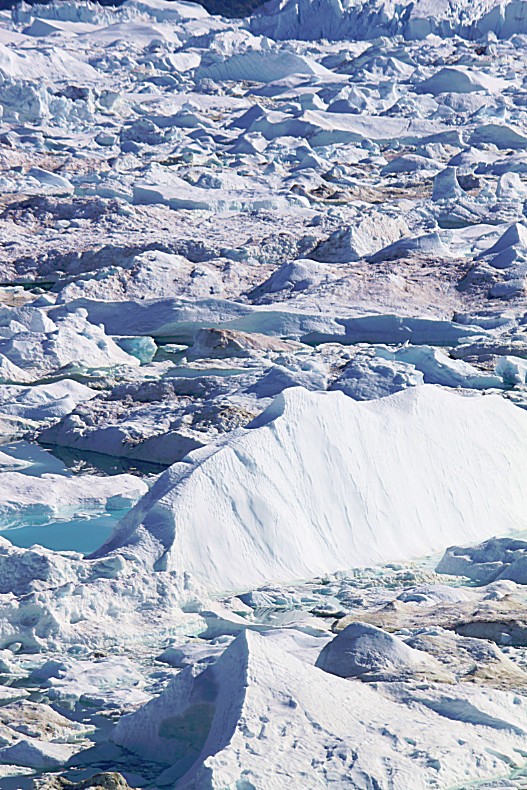
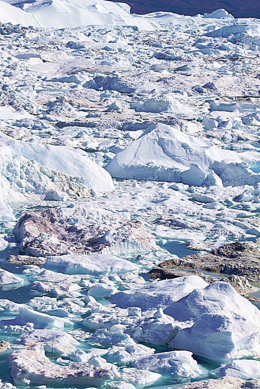
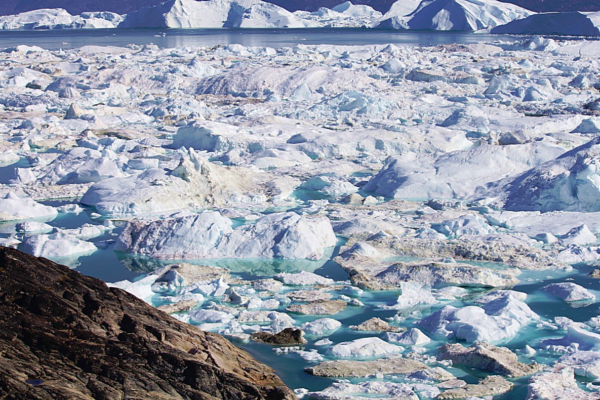
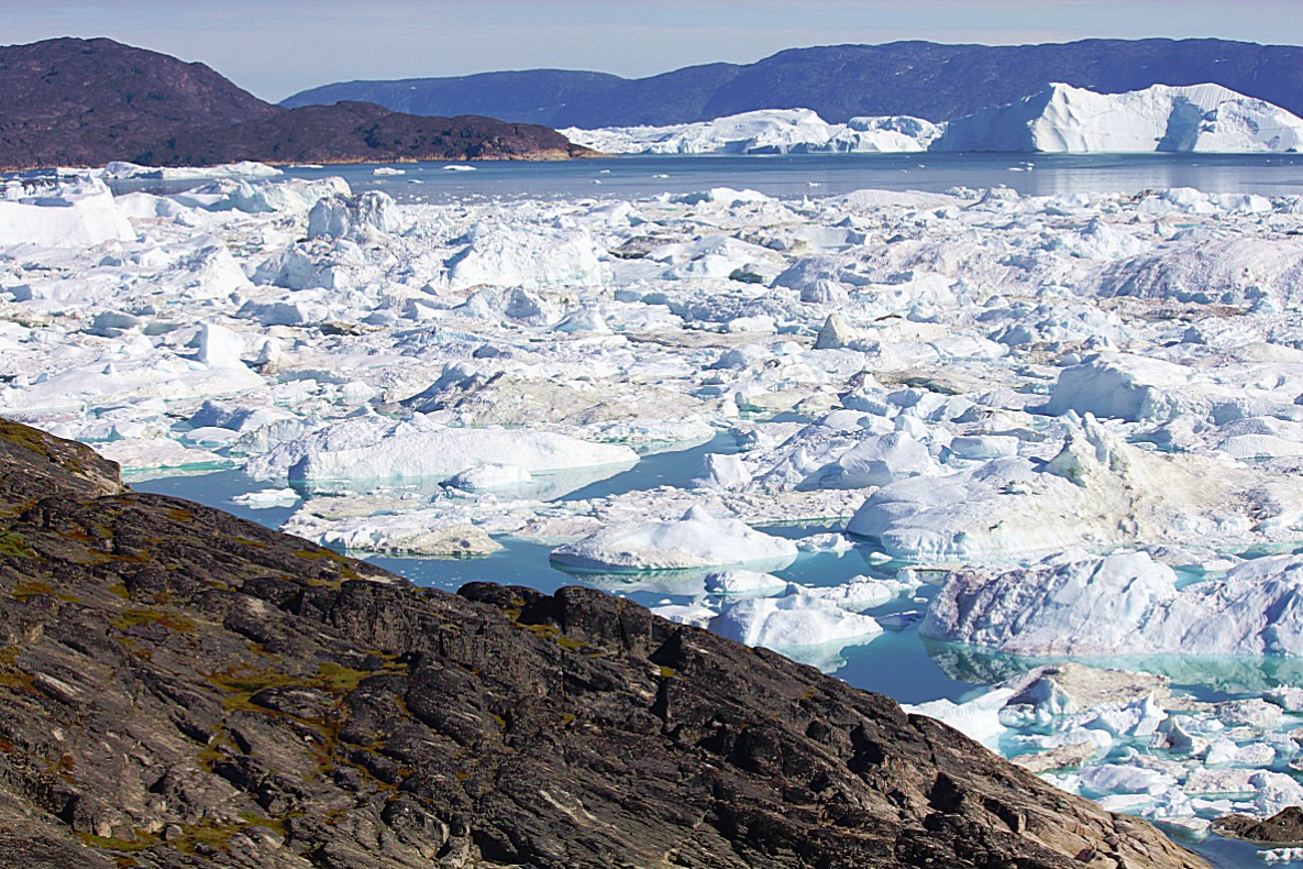
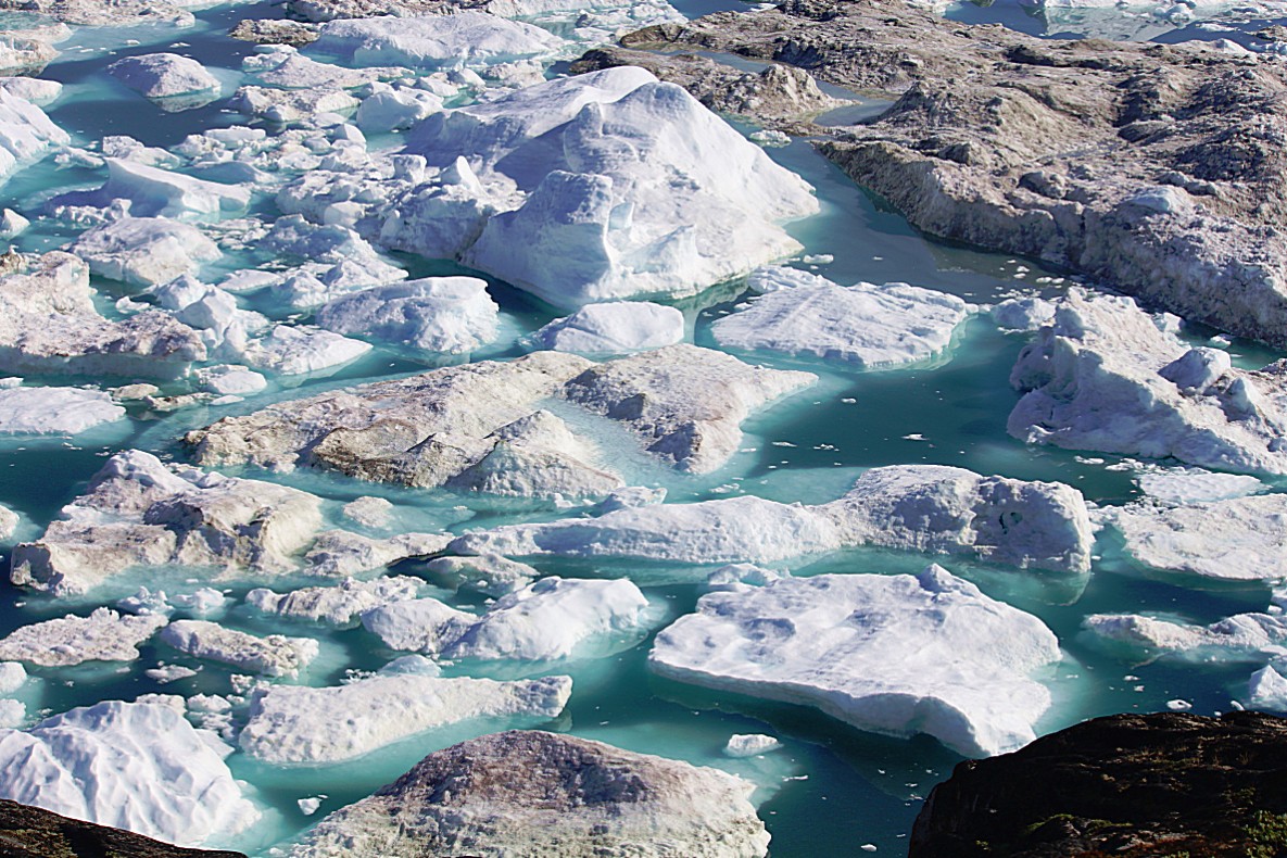
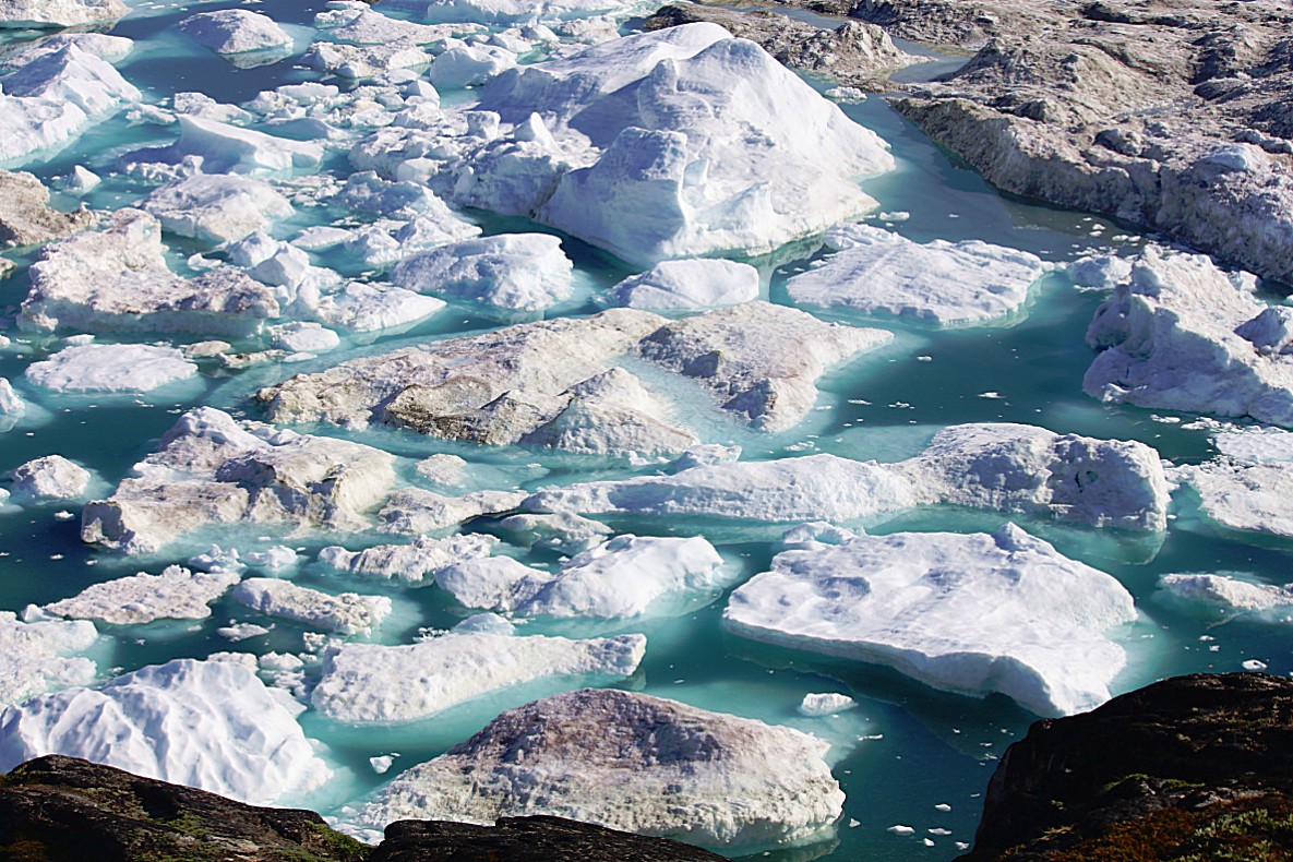
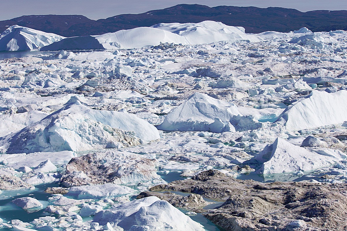
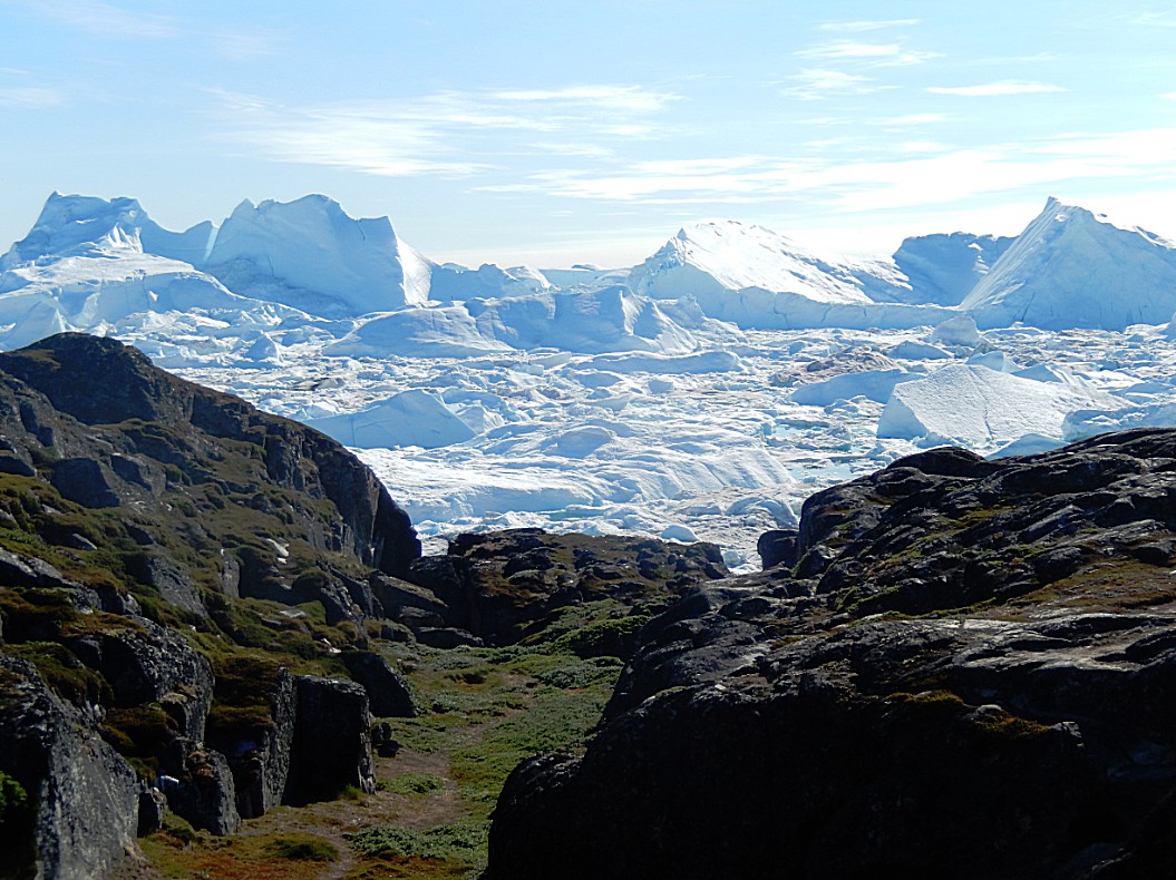
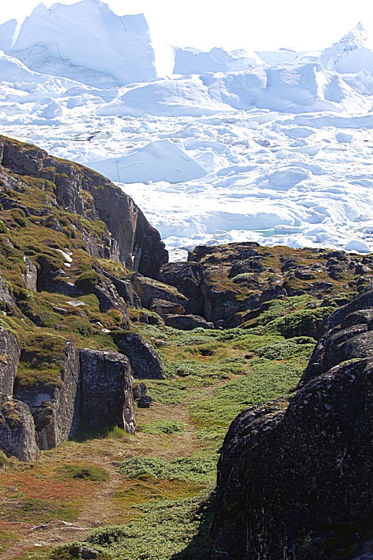
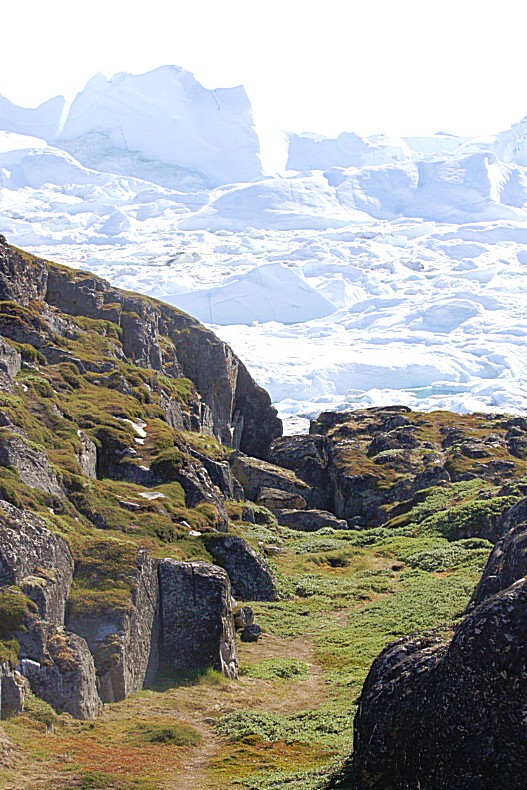
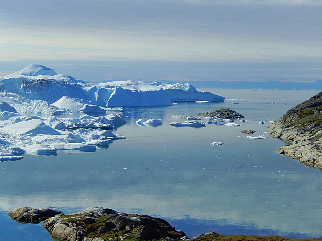
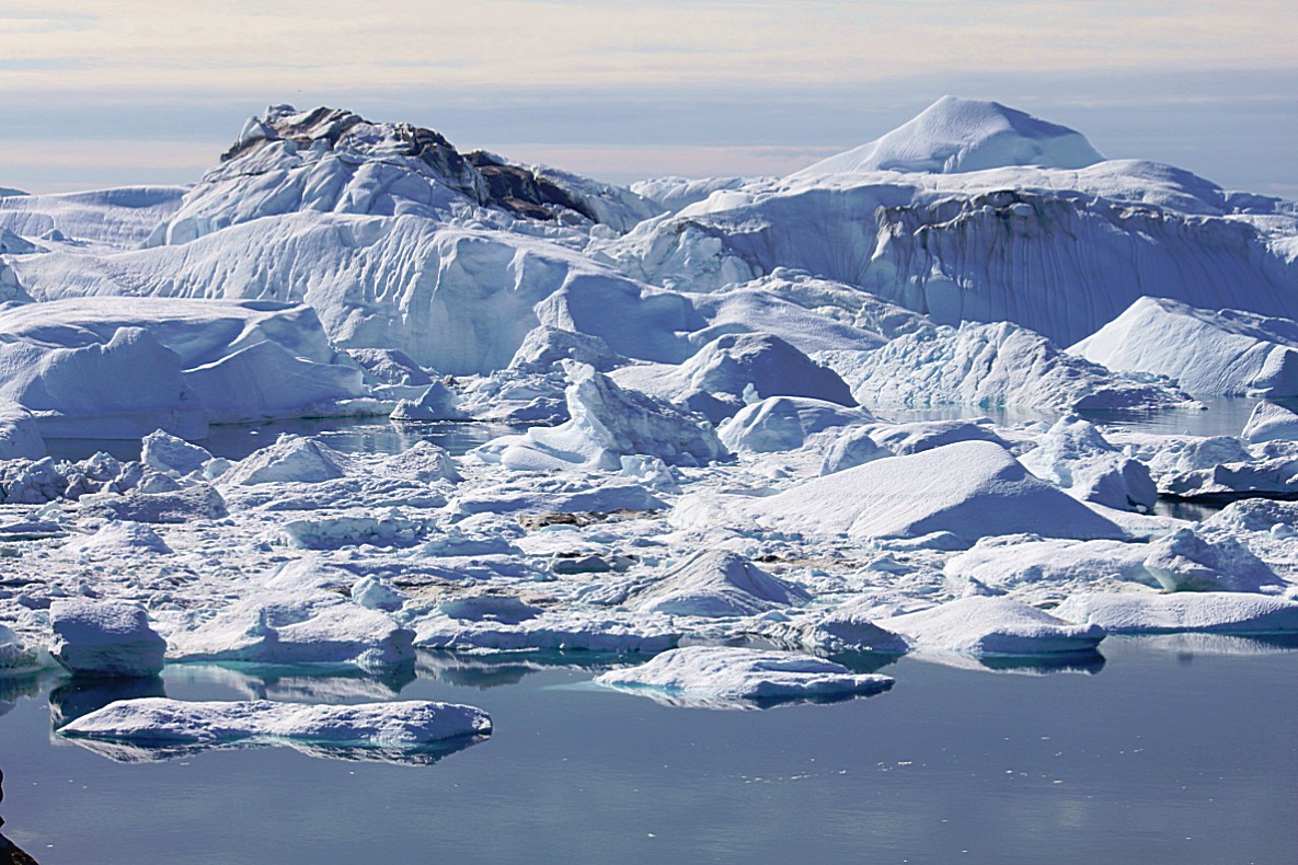
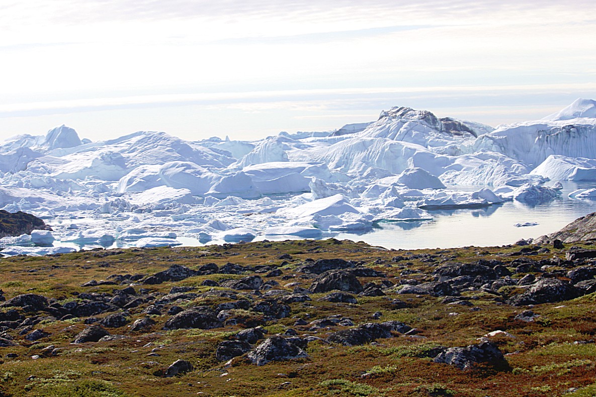
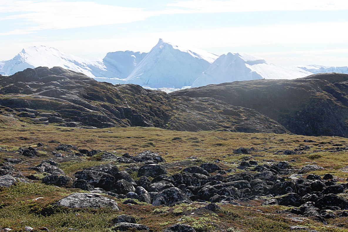
Far away I could see the huge icebergs that got stuck on the moraine area at the end of the fjord…
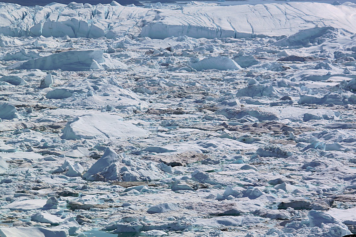
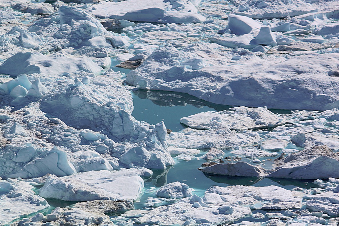
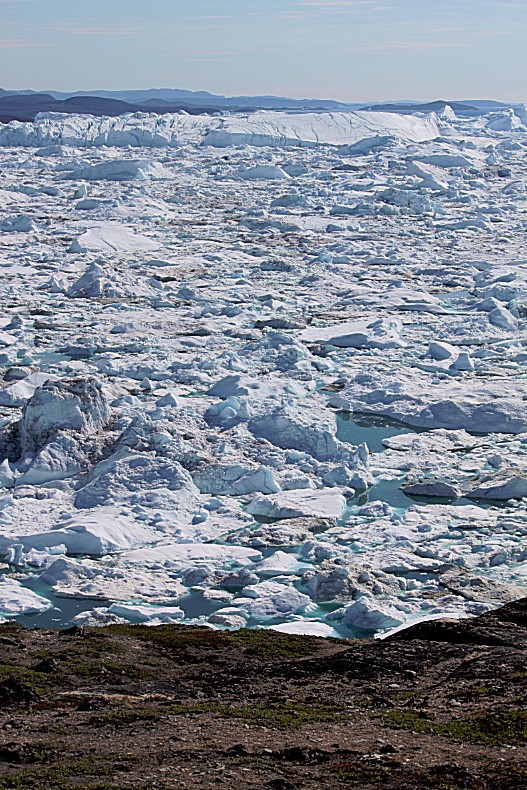
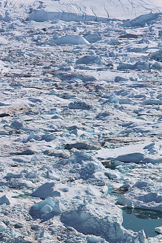
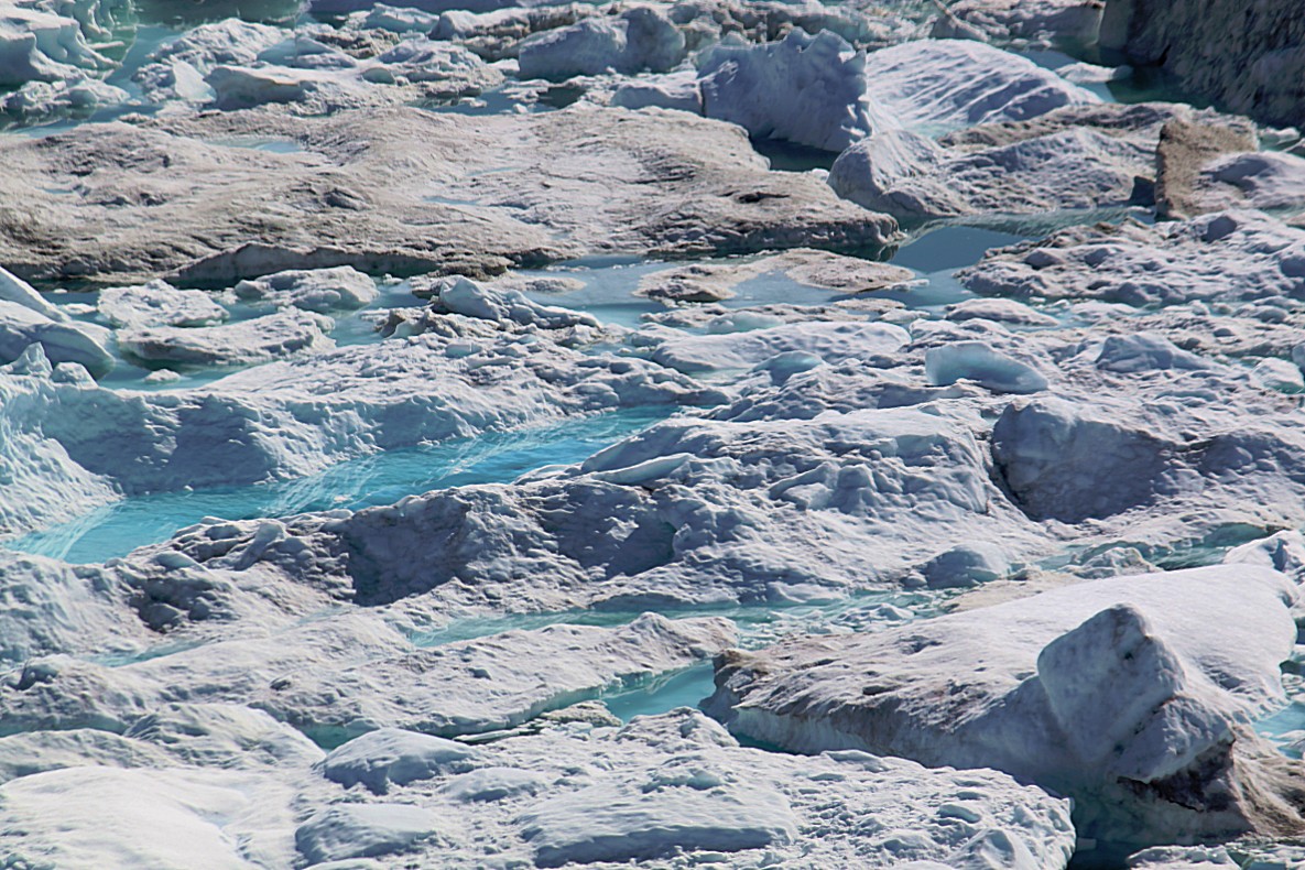
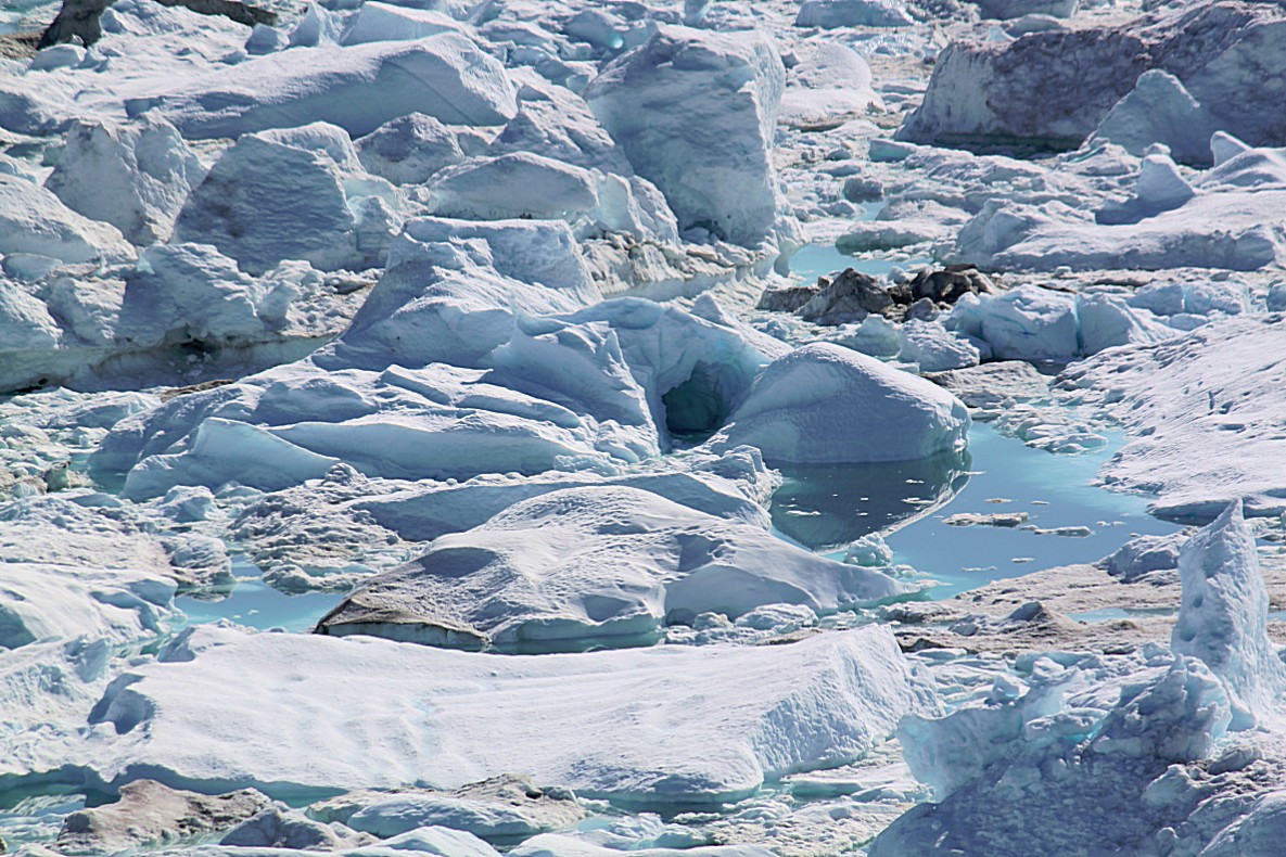
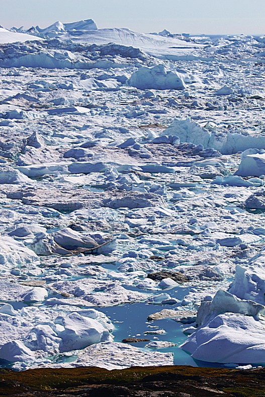
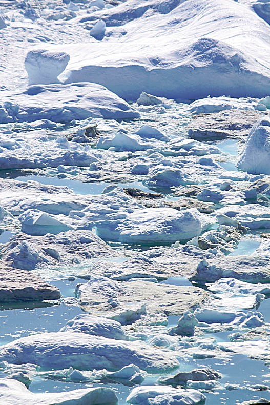
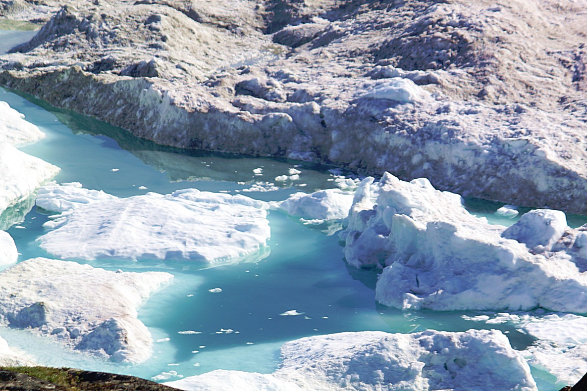
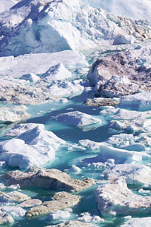
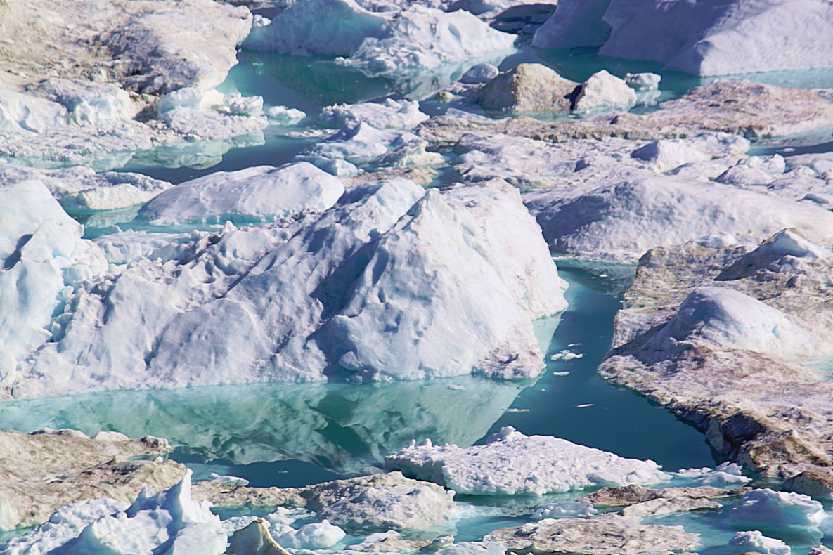
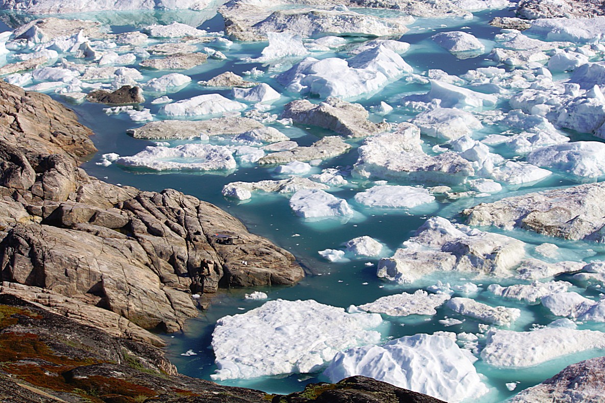
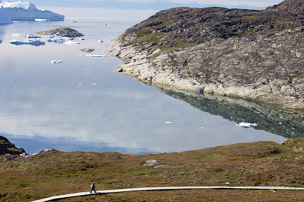
Between the icebergs were some larger spots of open water and lots of small ones…
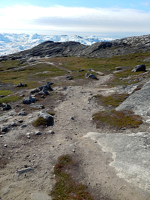
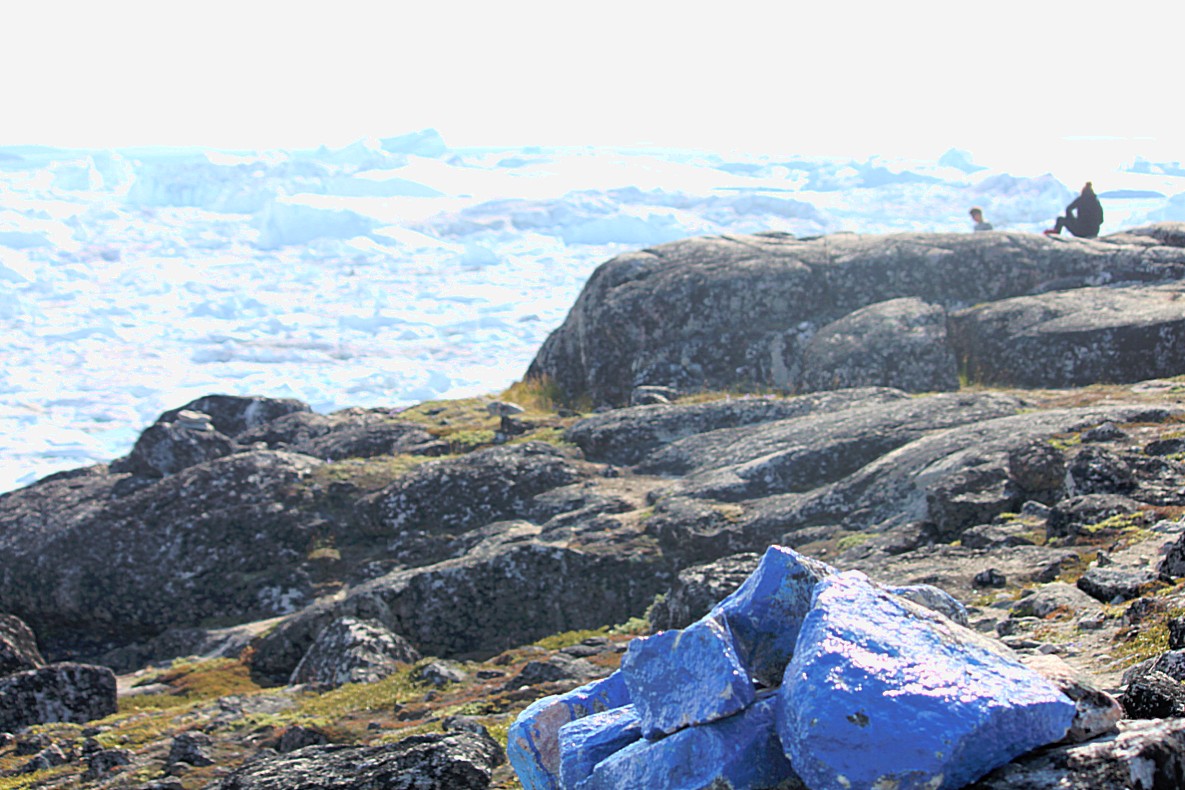
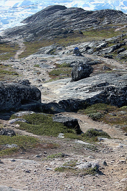
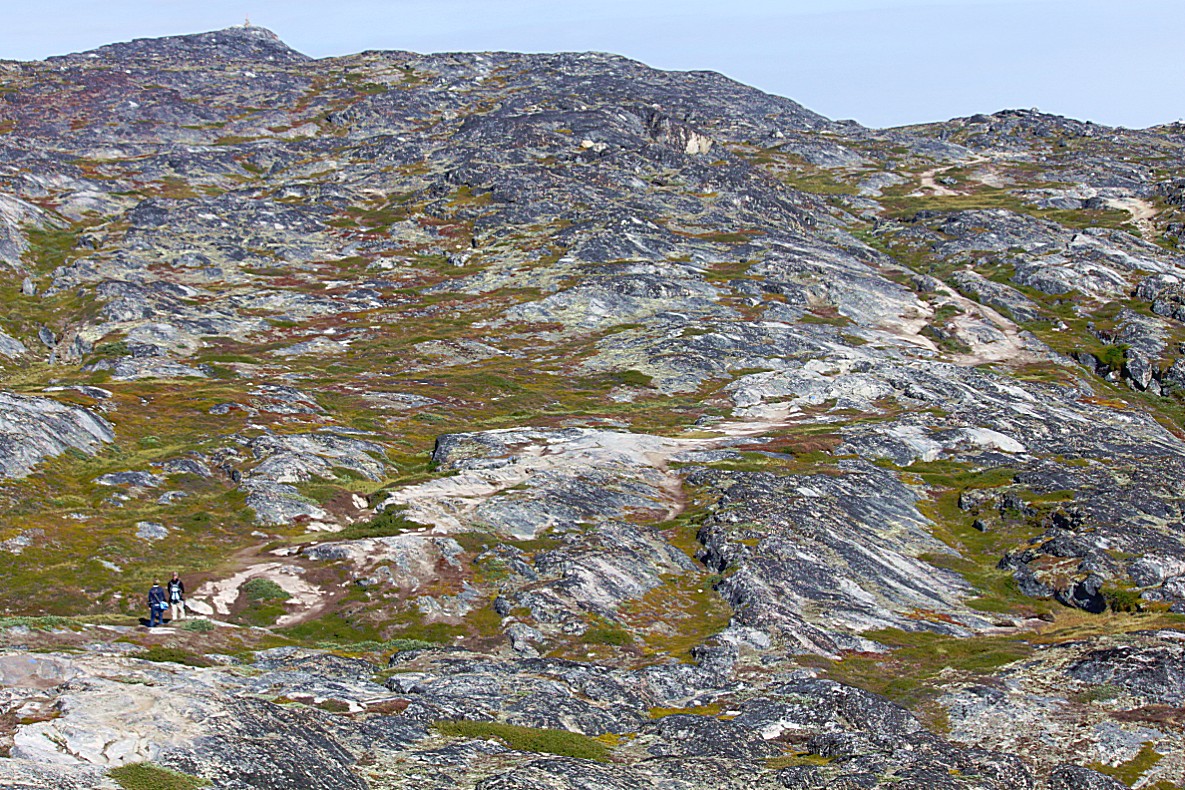
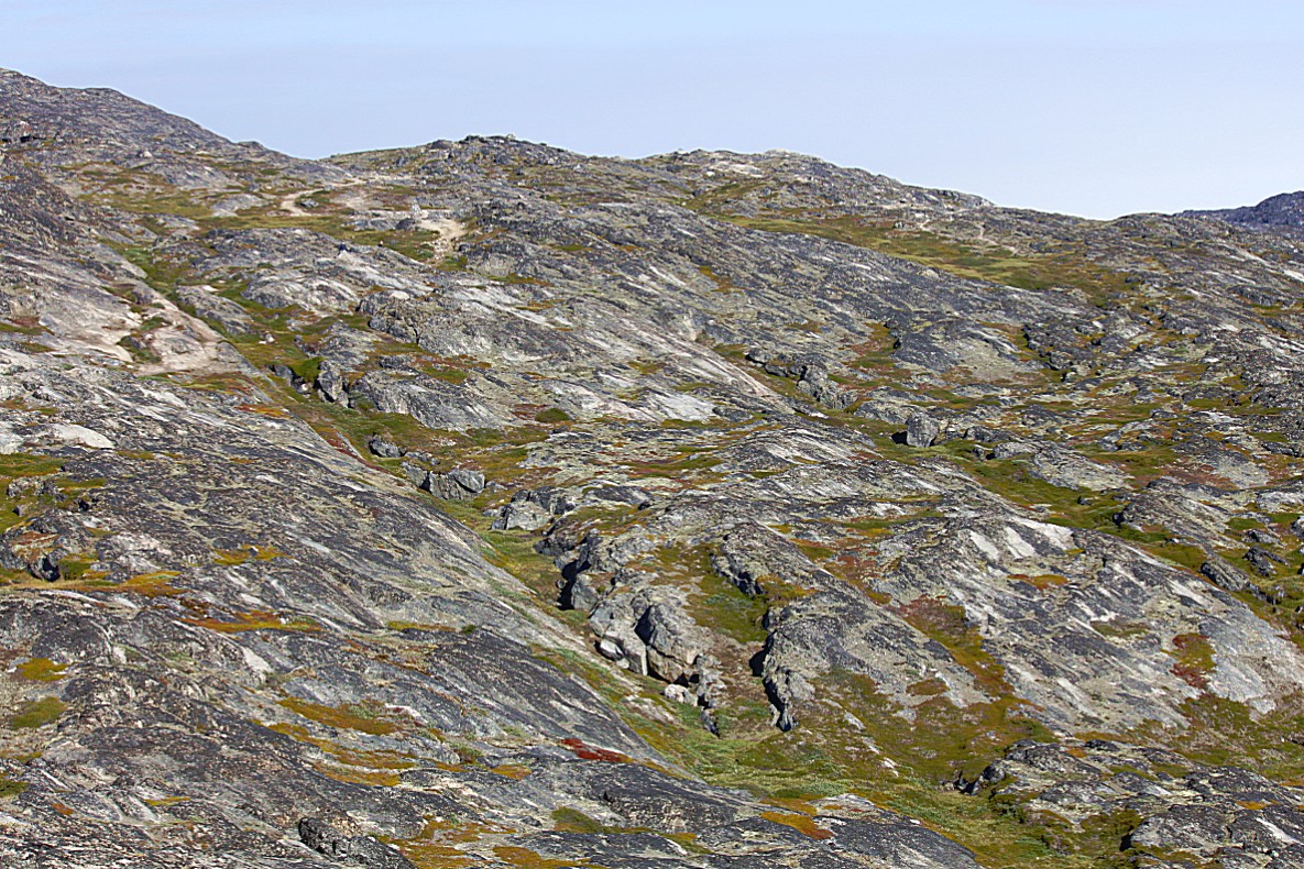
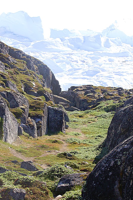
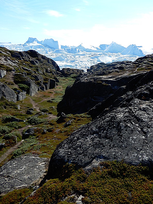
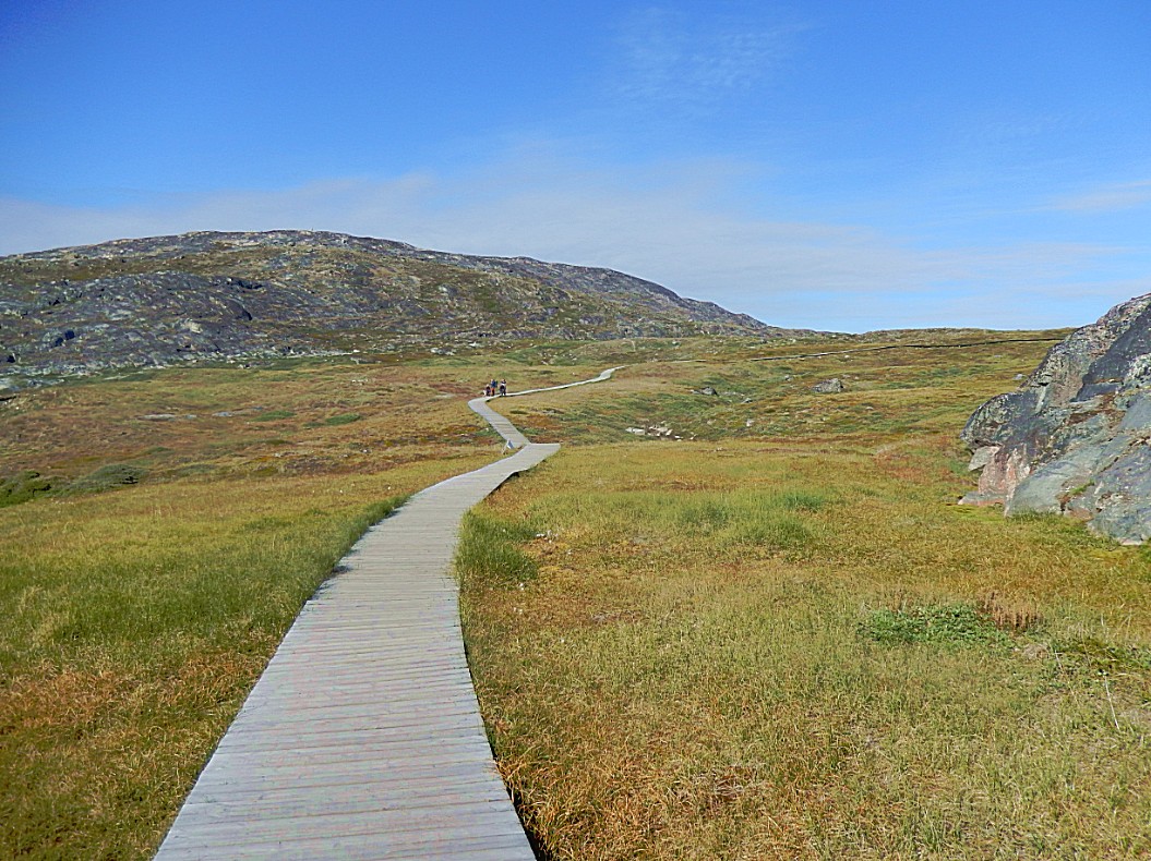
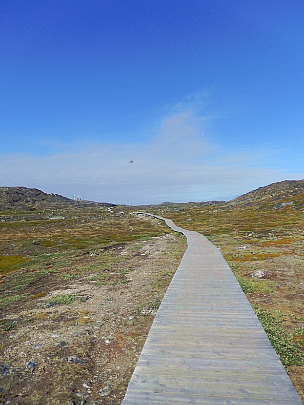
The trail was very well marked by blue marker stones…
During the long and fell winter, the pools that appear between the icebergs freeze over. In the summer time it isn.’t possible except with great risk, to walk over the icebergs, but in winter, it is possible to walk on the sea ice between the icebergs…
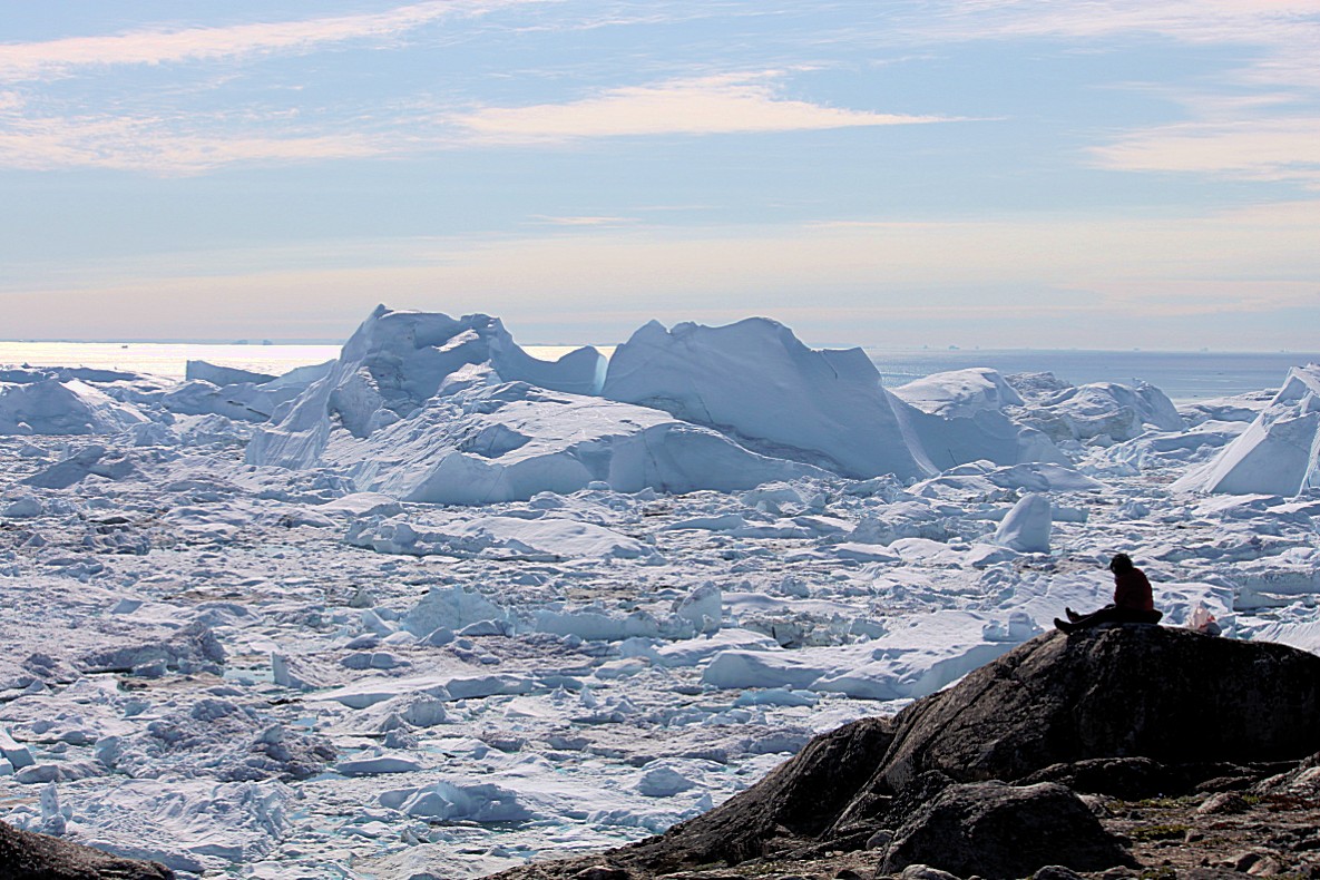
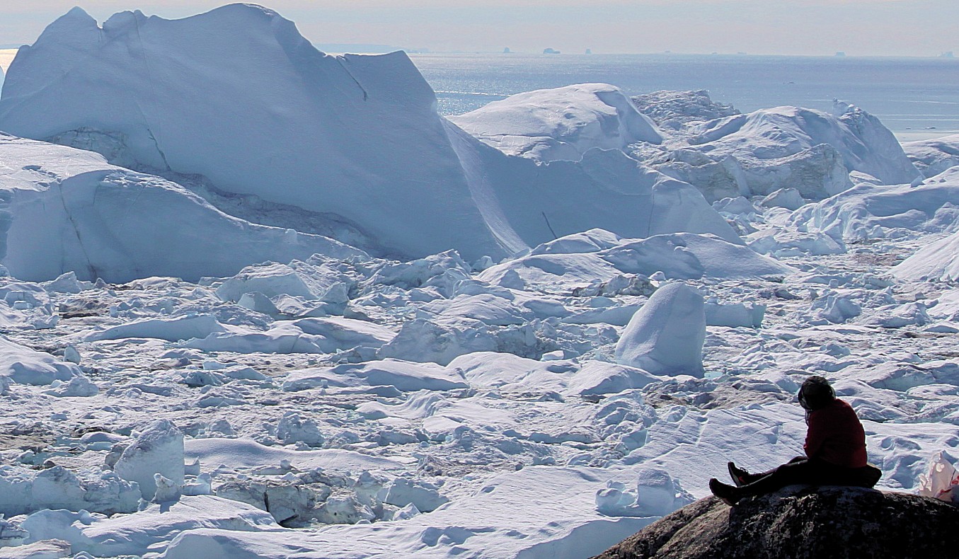
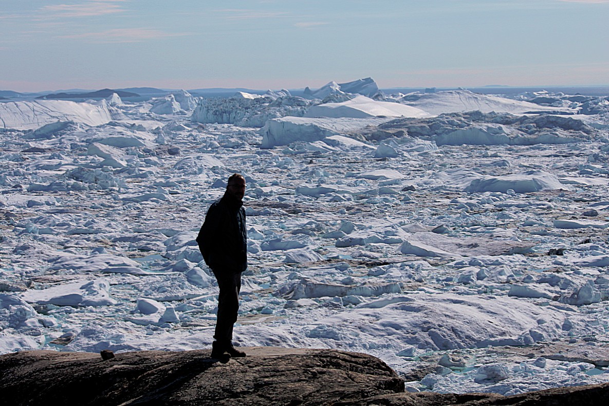
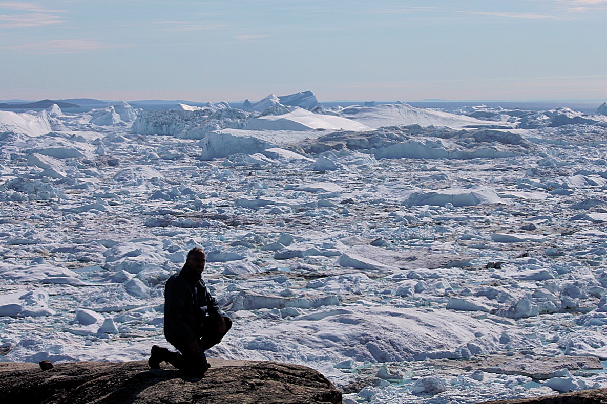
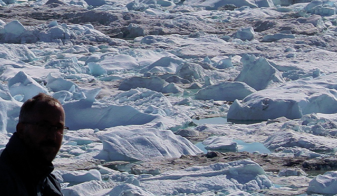
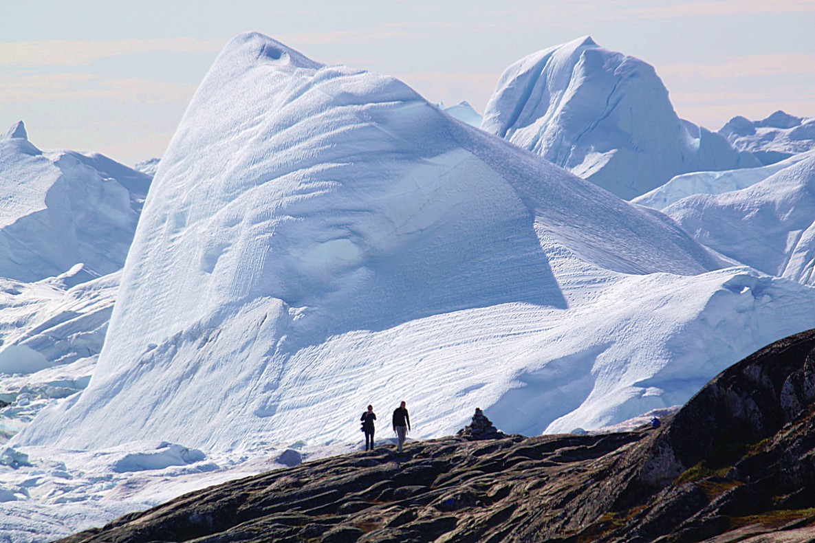
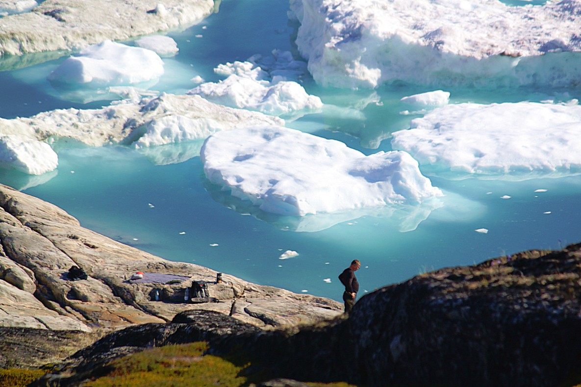
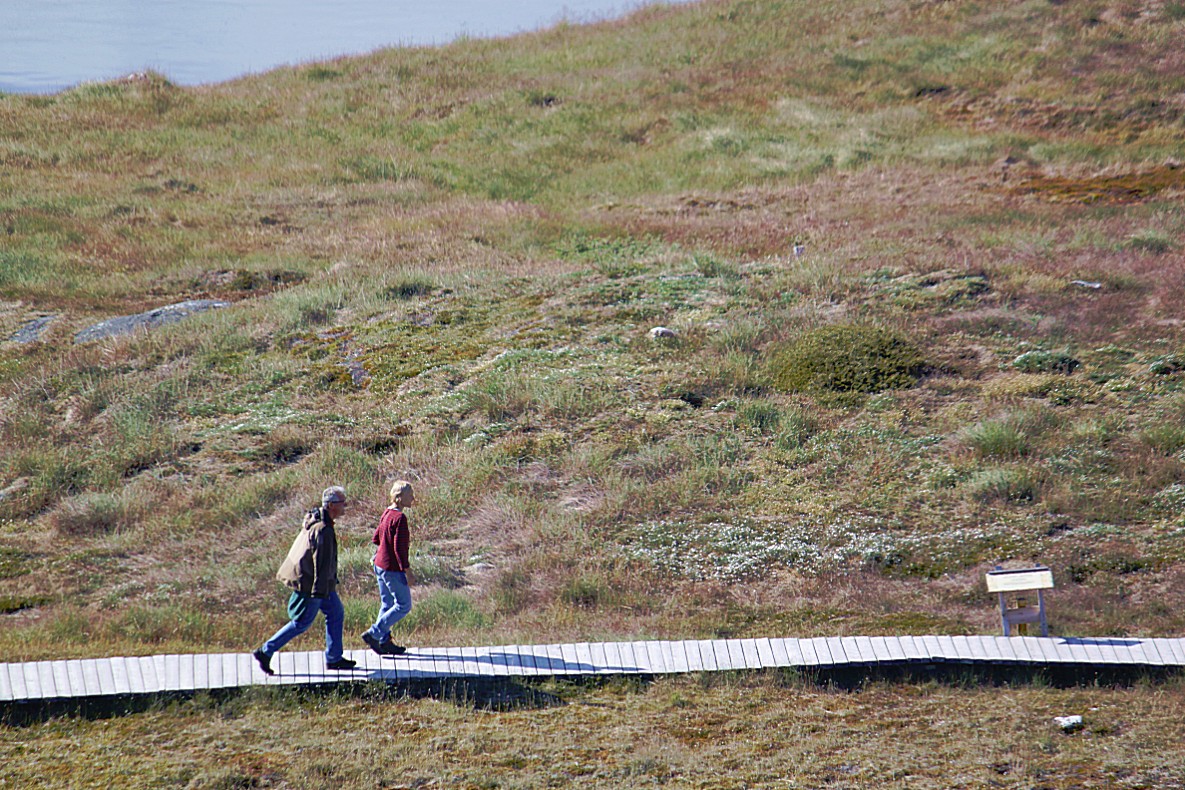
People tend to get very small or even tiny when photographed in front of such a spectacular backdrop…
In winter time, fishermen and seal hunters are able to get on the sea ice between the icebergs, walking or with dogsleds…
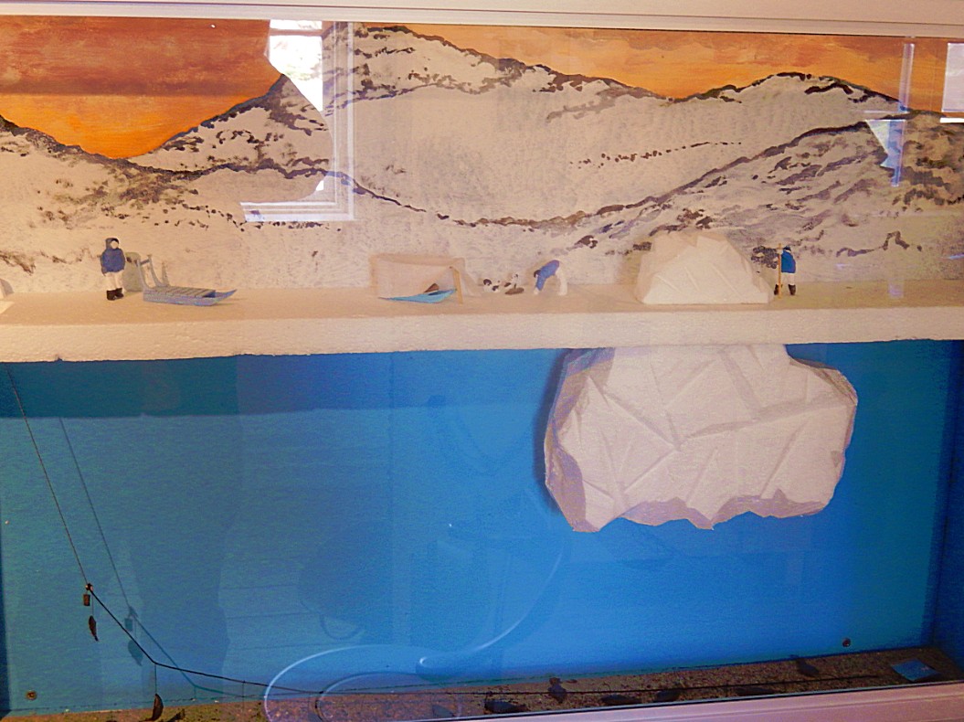
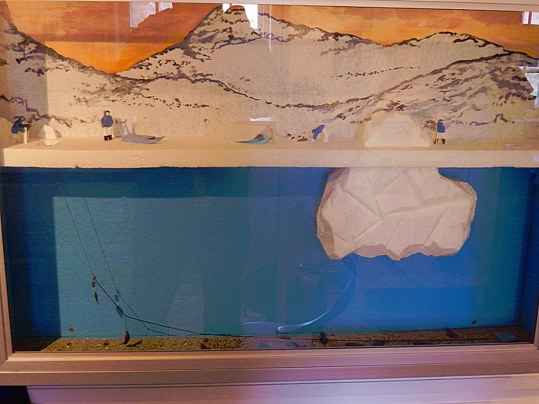
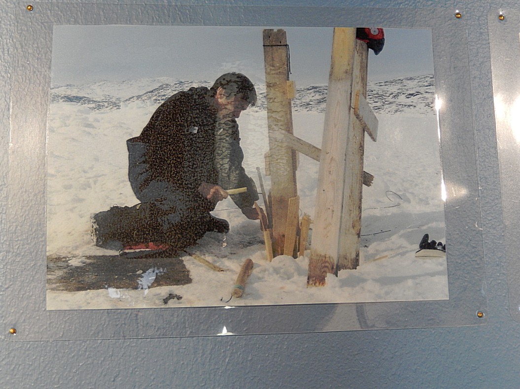
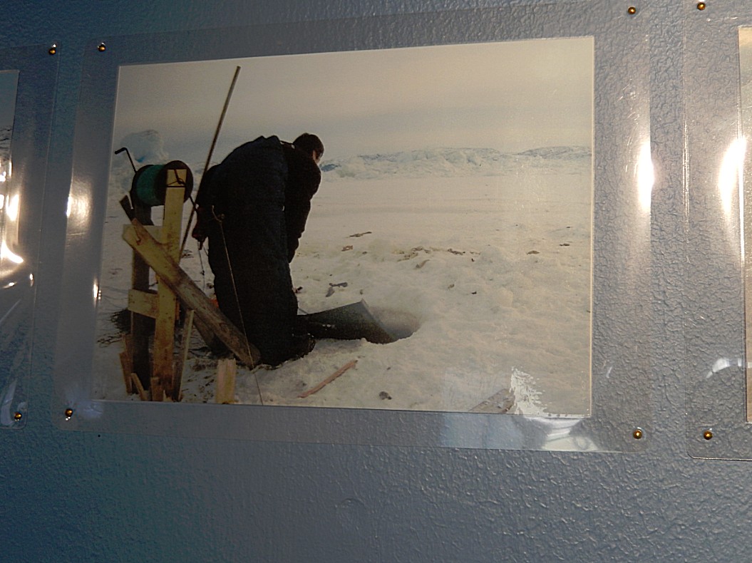
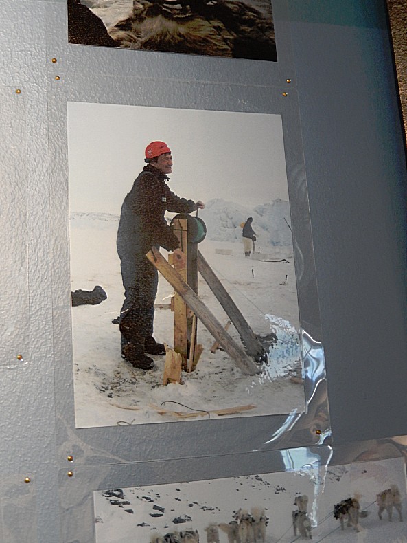
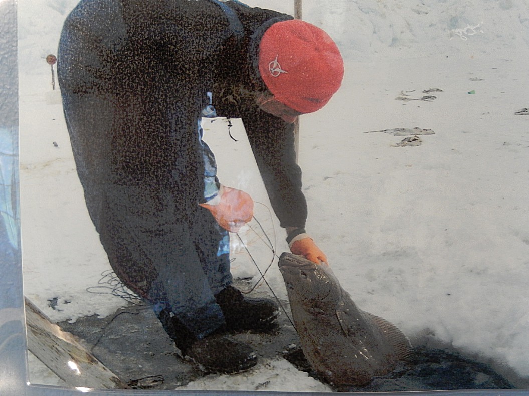
I photographed this beautiful maquette at the Knud Rasmussen museum in Ilulissat, which I visited a few days after this walk. But the maquette and accompanying pictures from the museum depict so well the activities and techniques used by fishermen to fish and to hunt on the ice…
The maquette shows a long fishing wire which is dragged across the floor of the fjord…
A wooden construction planted firmly in to the ice near an ice hole functions as an anchor for the fishing line…
On top of the wooden construction a pulley is mounted, which contains the fishing line…
The line is dragged over the fjord floor towards the ice hole and the pulley by simple manpower…
Sometimes other wooden contructions used to hang and dry the fish are built too….
Some of the biggest icebergs stuck at the end of the fjord. These icebergs get pushed over and broken in to pieces by the sheer power of the ice behind them, trying to reach Disco Bay…
This place had been on my bucketlist for quite some time now, but it is quite an expensive country to travel to. So it was really cool to finally get here 🙂
Sheer raw beauty…
Blue marker stone indicating the Blue trail…
The small pools between the icebergs contained the blue-est water I have ever seen abnywhere except maybe in the Grotta Azurro on Capri, but I think this water is even blue-er…
This is quite an unreal landscape…
I had now gotten to the point where the trail started to decline from Holms Bakke down towards the Old Women Gap…
It was quite difficult to tear away my eyes from this magnificent spectacle…
Slowly I descended …
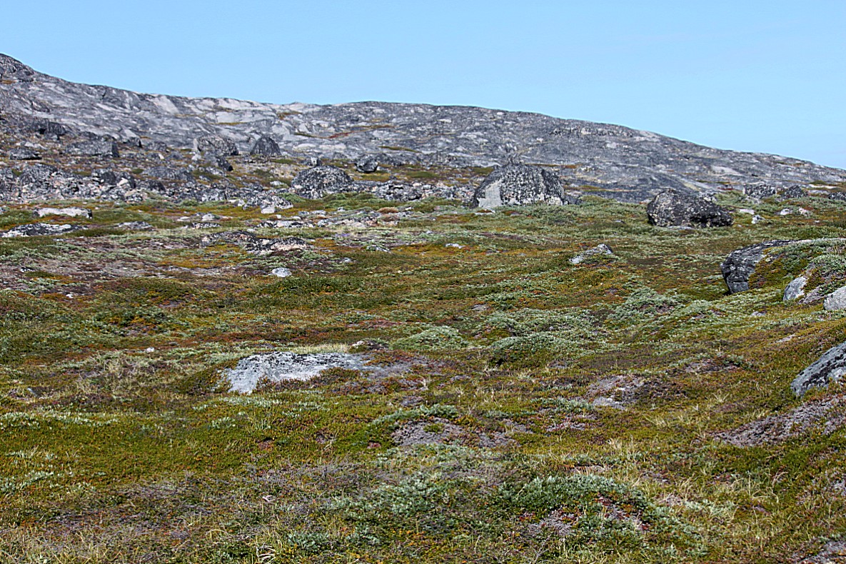
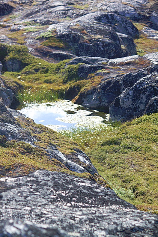
Although I did see some other walkers on the trail it was an empty environment here on the verge of the wild…
…tourism is still in its early stages in Greenland. I’m sure that mass tourism won’t be fitting for Greenland. It simply hasn’t the population and infrastructure to support mass tourism and lets be honest: it is much better for its overwhelming and mostly untouched nature, if not too much tourists would find their way to Greenland. But some sort of sustainable and environmental tourism is certainly possible…
Blue-er than blue…
Now the trail reached the Old Women’s Gap. Near to this place was the old Inuit settlement of Sermermiut, where hunters en fishermen lived near to the fjord which provided them with fish, seals and whales to hunt for. Life was harsh and every tribe member had to work hard to guarantee the survival of th etribe. It is said that old women who couldn’t help the tribe anymore because of their age, went to this gap to jump of the cliffs into the freezing water, to die. This behaviour helped the tribe to survive…
From this height it was possible to see the wooden UNESCO World Heritage Path deep below…
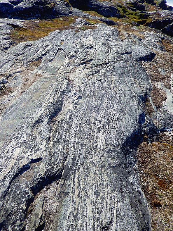
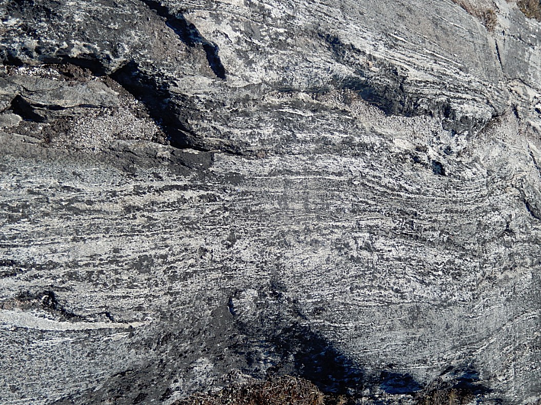
These stones show the power of moving ice. The scratch lines on the suface are created by moving ice and stones…
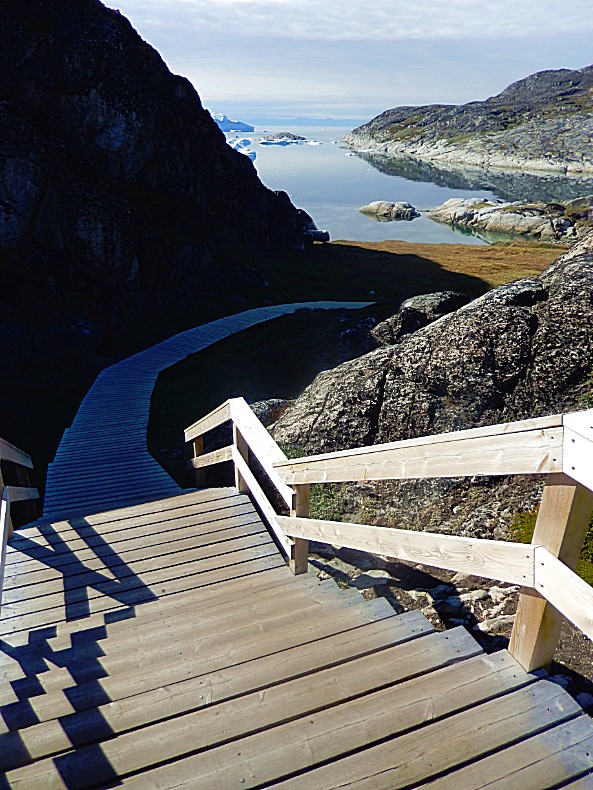
The last part down to the Old Women’s Gap is reached via wooden stair…
The stairs descended from the viewpoint down into a wide valley of Sermermiut…
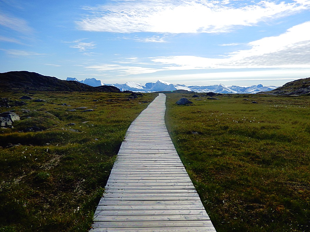
From here the wooden UNESCO World Heritage Trail started and led back to the GL Heliport…
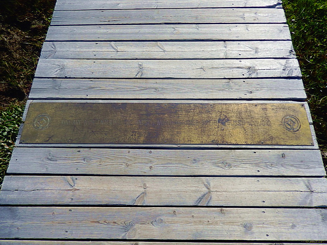
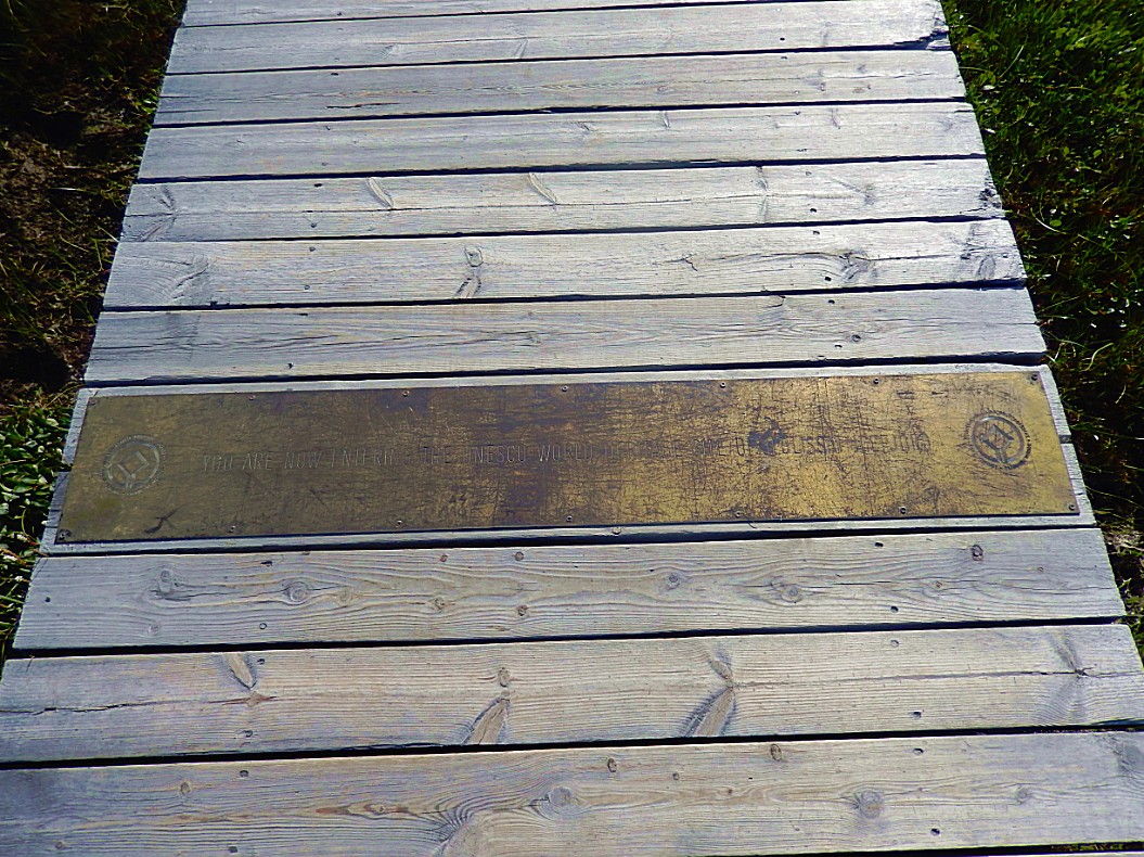
A bronze plate marked the border of the UNESCO World Heritage protected area…
It is very difficult to spot where the old Turf houses of Sermermiut were, but it was in this area and it was one of the largest settlements in this area…
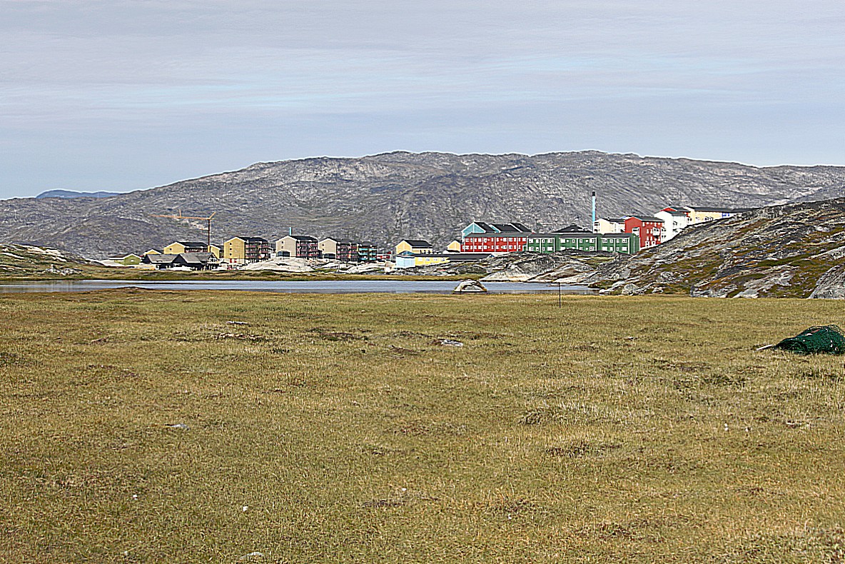
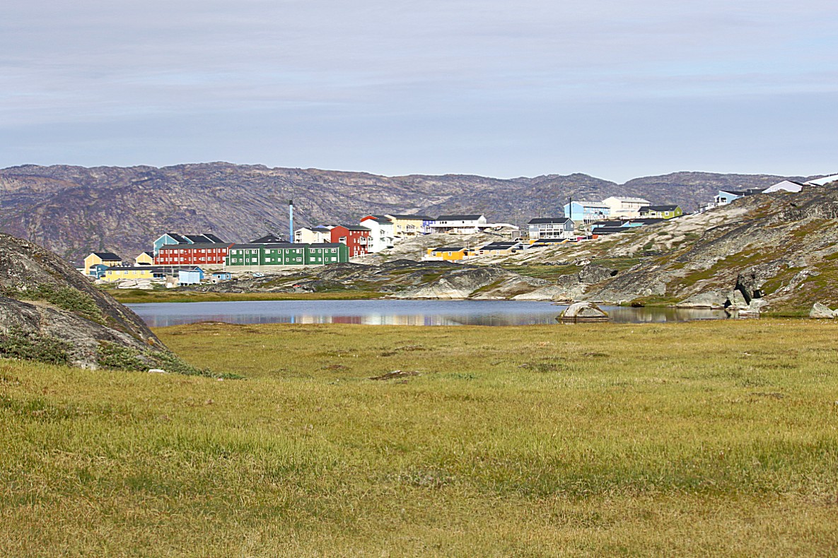
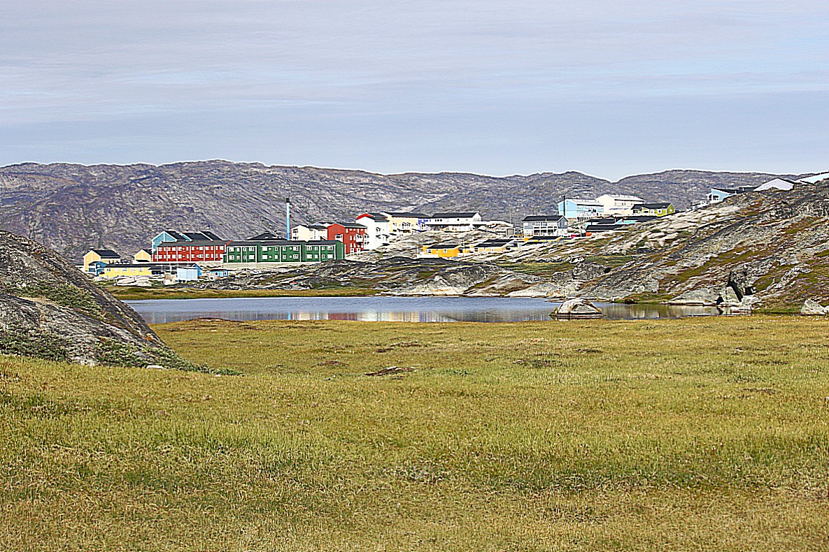
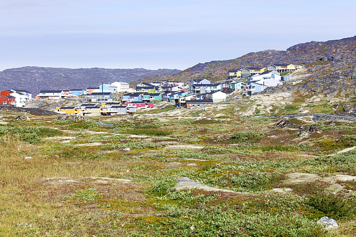
…the trail left the Kangia Icefjord and led back to Ilulissat…
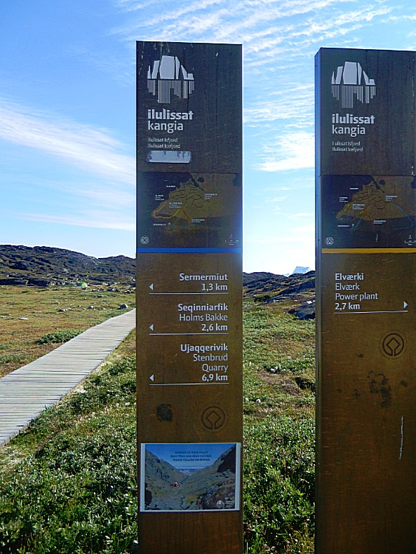
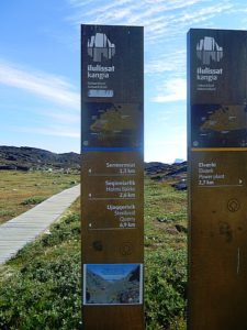
These bronze pillars marked the start of the Blue and Yellow trails…
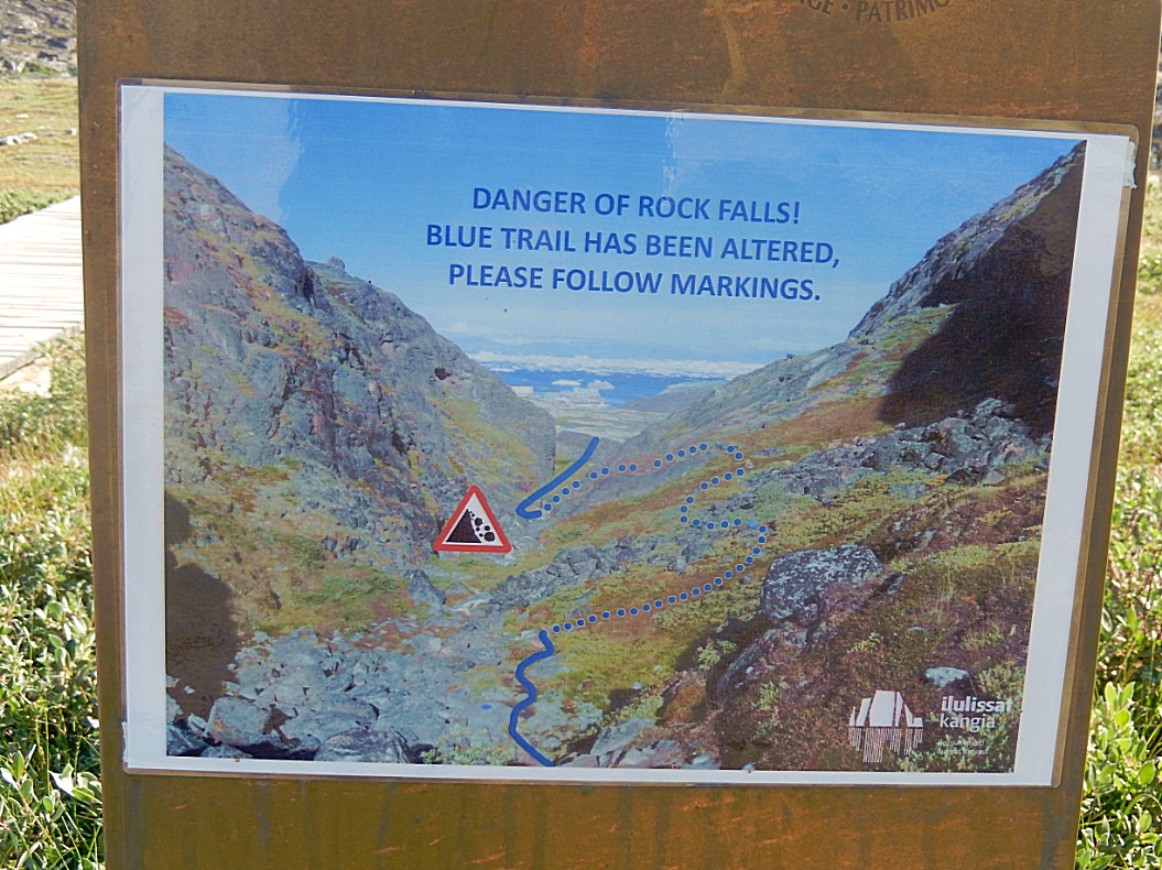
This picture shows that at the other end of the Blue trail, the trail was redirected to get passed a landslide…
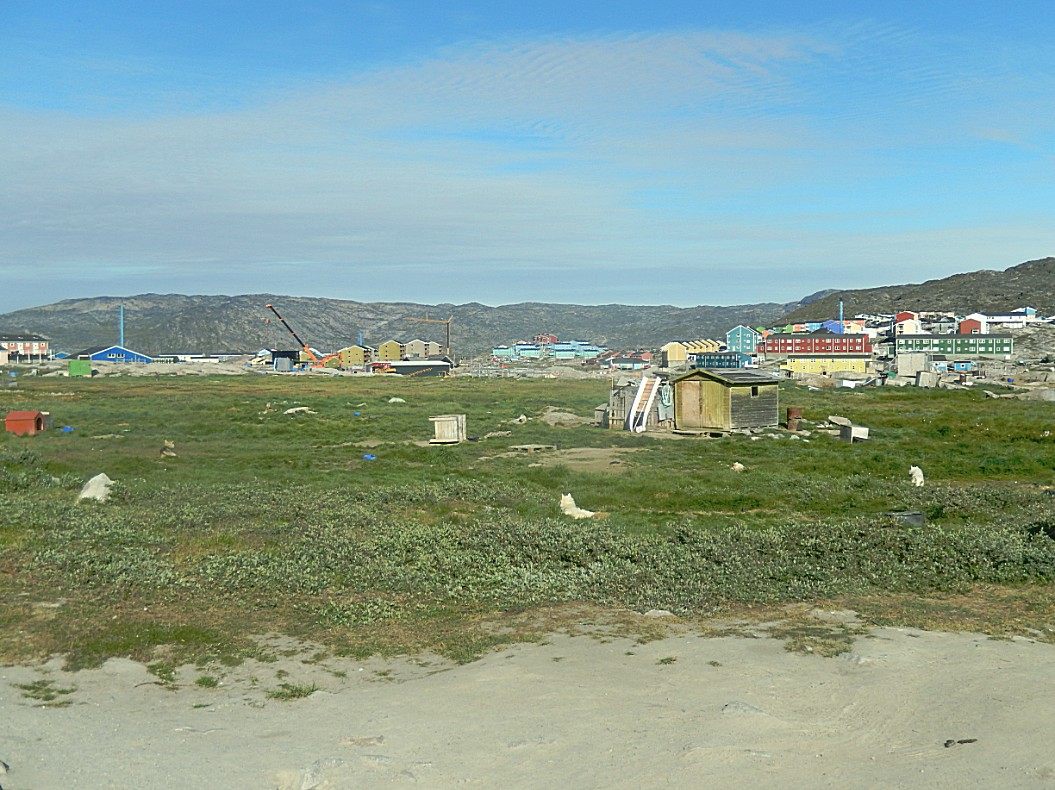
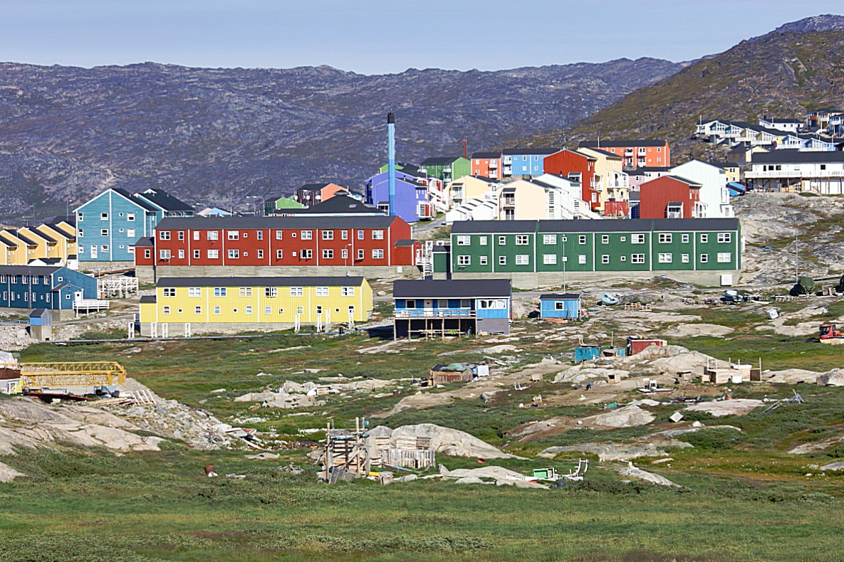
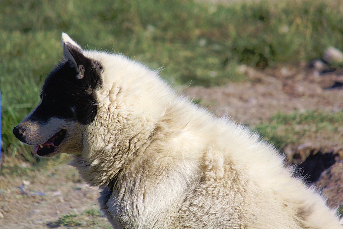
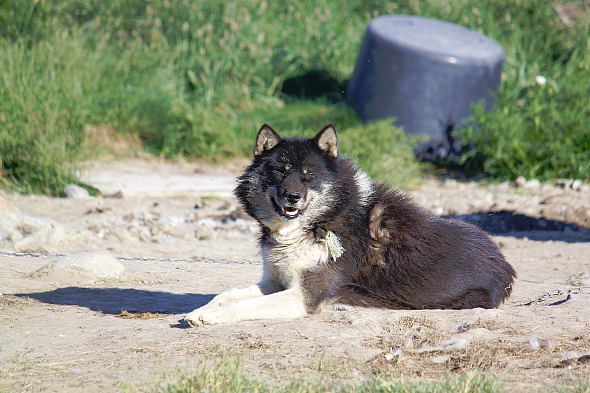
After leaving the GL Heliport, the walk went through a sled dog area towards the town of Ilulissat…
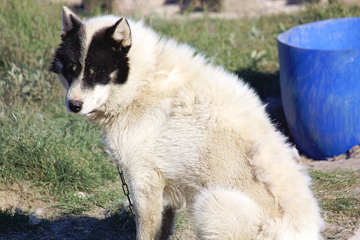
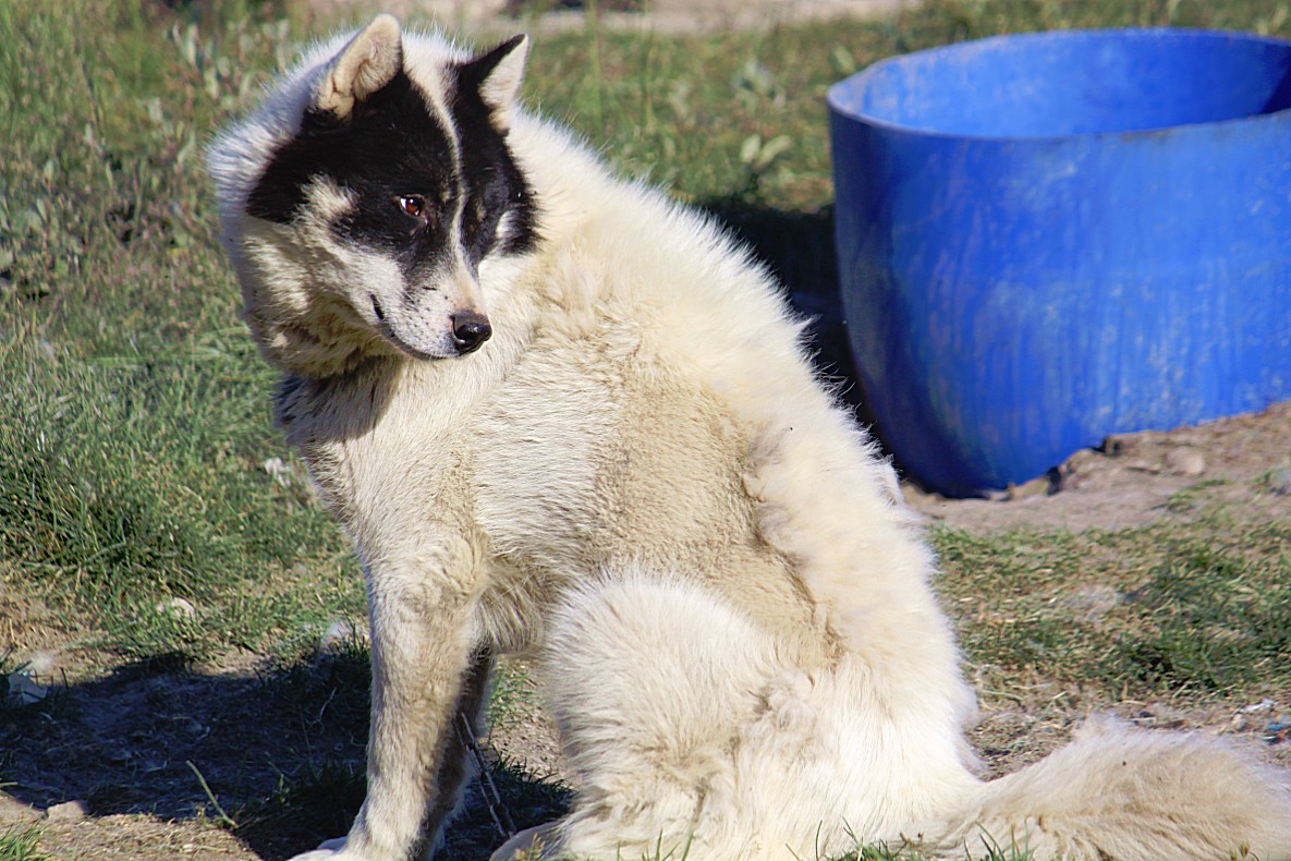
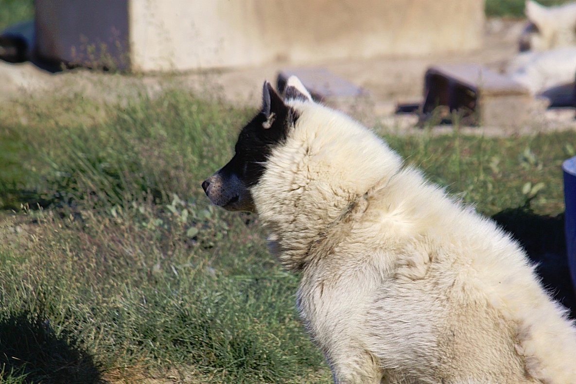
These chained sled dogs live here during summer because they caused to much havoc and even some deadly accidents with humans (specially children) inside the Greenland towns. The dogs have to stay outside of the residential areas by law. Keeping sled dogs is allowed only north the arctic circle and prohibited south of the circle.
The dogs look cute and like pets but they aren’t. They are domesticated but they are a dog race which stands near to the wolve…
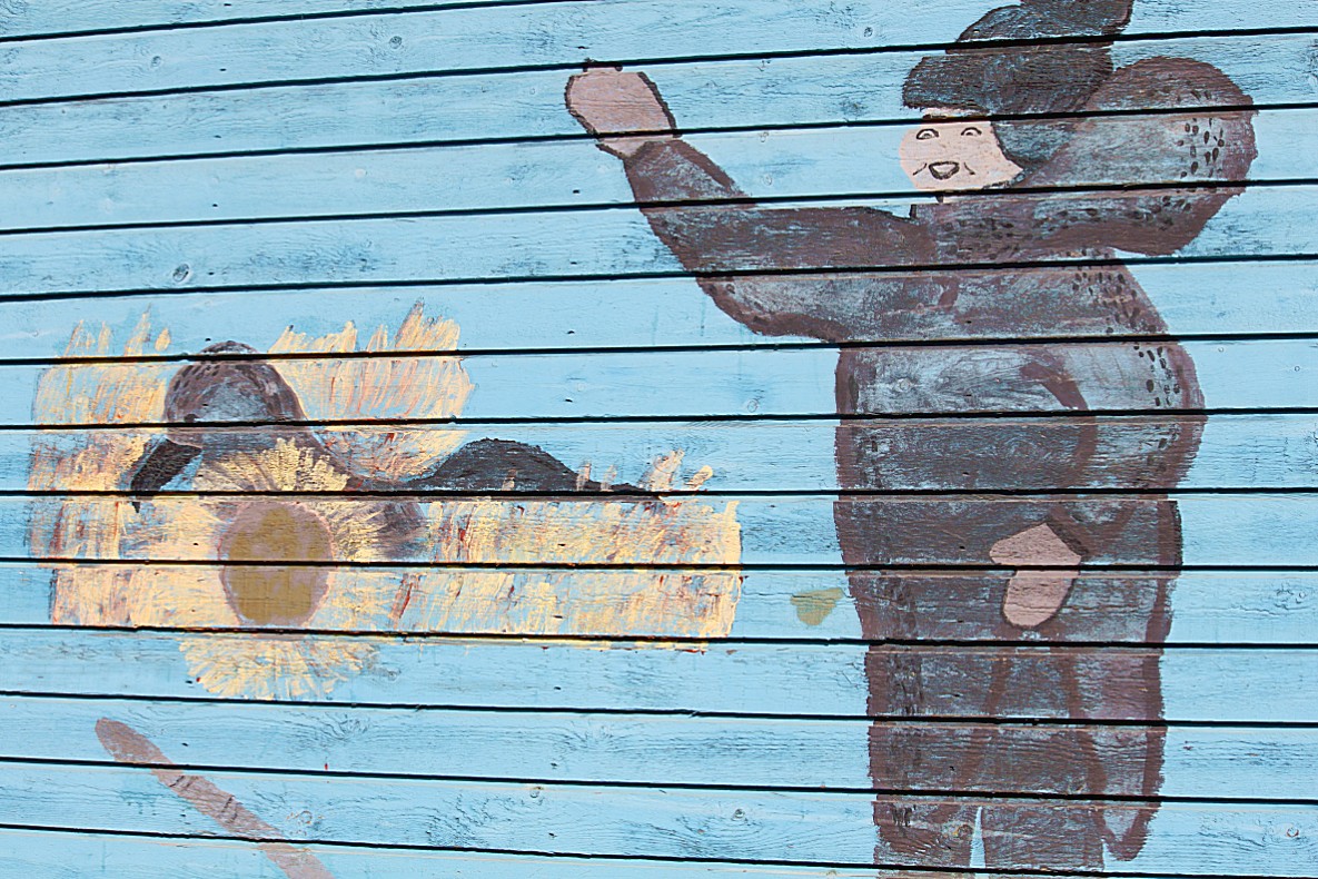
Drawing on the wooden wall of a school.
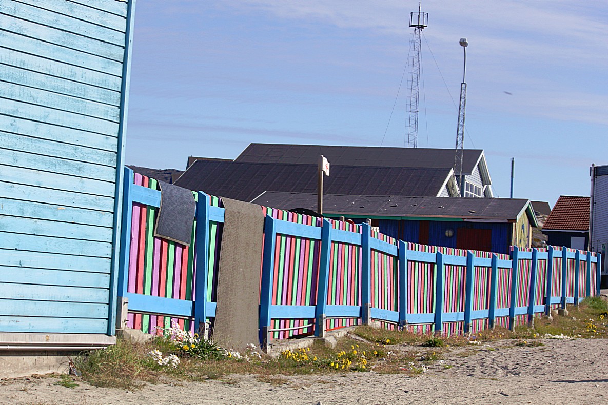
the colourful fence around the school’s playground was a protection for the children against the sled dogs, because in the past, the sled dogs were kept within the residential areas…
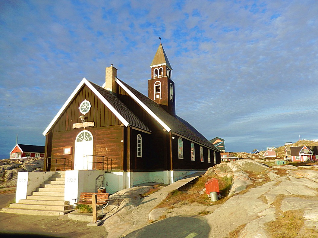
Before I returned to the hotel, I strolled a bit through town towards Disco Bay and visited the Zion’s Church and the area where the Qayaq club was…
The beautiful Zion’s Church in evening light…
…then I returned to the World of Greenland Office in town and took the shuttle bus to the hotel. a beautiful day filled with awesome walks had not ended yet, but more of that in my next Greenland blog 🙂

