3. Greenland: Hiking at the Kangia Icefjord: 1. Yellow Trail (2.7 kilometres) – 2017
Before reading this blog about the Yellow trail, following the Kangia/Ilulissat/Jakobshavn Icefjord, you might want to read my previous blog with background information on this Icefjord too. Read more at my blog Wake up call to Climate Change and introduction to the Jakobshavn/Ilulissat/Kangia Icefjord in West Greenland
Early in the morning after a very good breakfast with lots of sea food at the Arctic Hotel, The Wandelgek took the hotel’s transport van to the World of Greenland Office from where he started his hike.
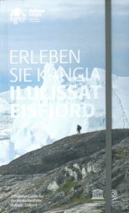 Tip for hikers: At the World of Greenland Office is a good shop which sells hiking maps of the area as well as a booklet with loads of information and maps of the trails. Name of this book: Experience Kangia Ilulissat Icefjord, Greenland: Official Guide to the World Heritage Site Ilulissat Icefjord by publisher: Ilulissat Icefjord Office, 2013
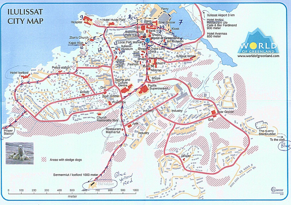
The first part of the hike was the route through Ilulissat toards the Elvaerket (= Electricity Plant) where the official start of the Yellow trail was.
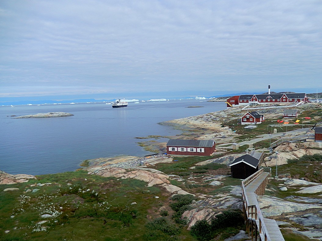
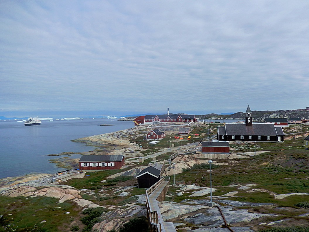
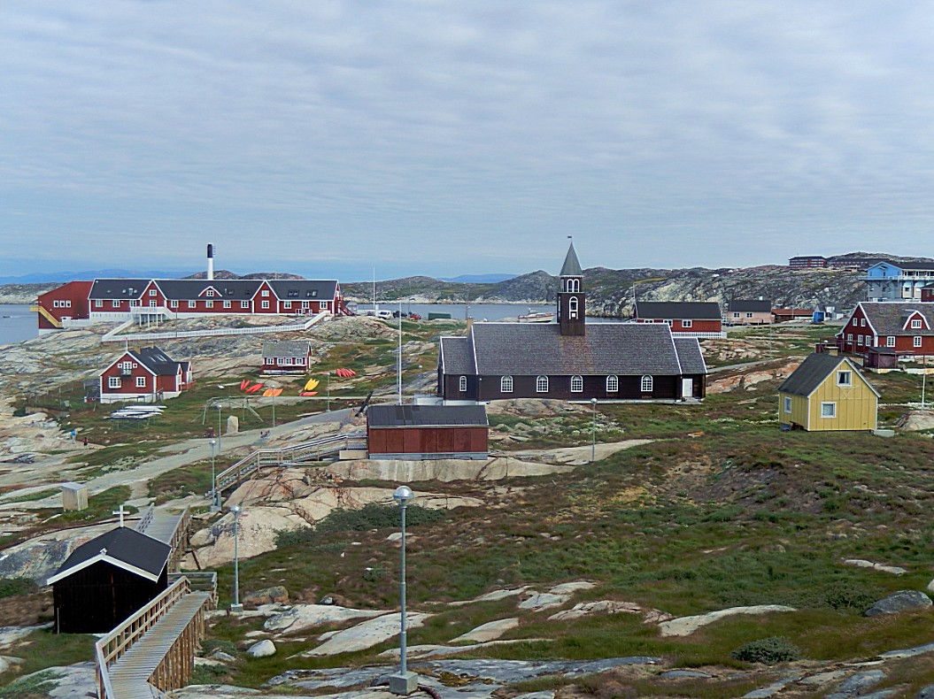
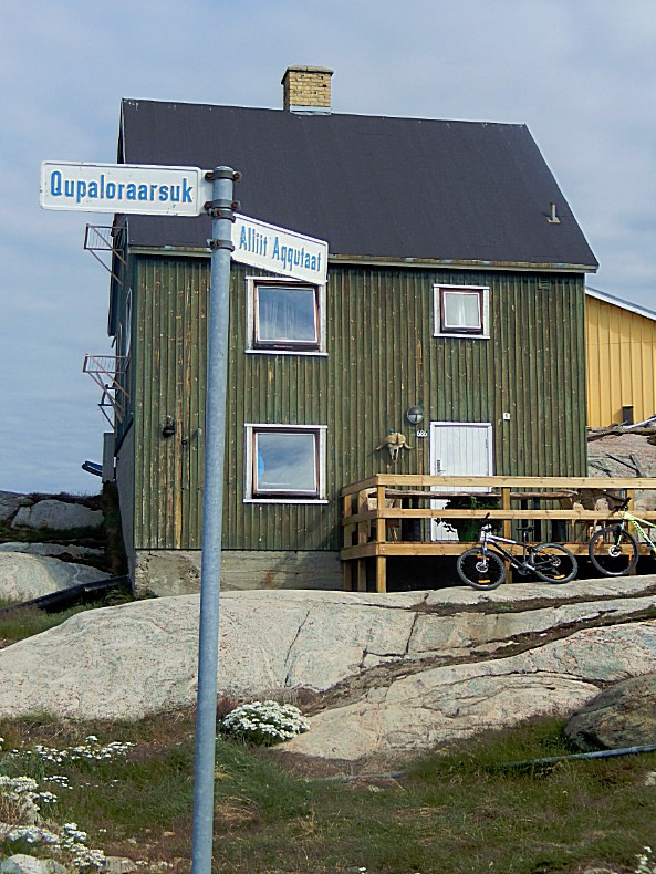
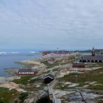
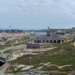
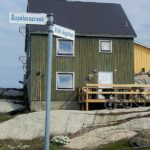
For the first part of the walk I decided to walk along the coast as much as possible. I rewalked my earlier route from the World of Greenland Office towards the Zions Chuirch and then went south and immediately upwards via wooden stairstowards the road Qupaloraarsuk and via Jørgen Sverdrupsvej and Minnerup Aqq. towards the Elvaerket (Power station).
For the first part of the walk I decided to walk along the coast as much as possible. I rewalked my earlier route from the World of Greenland Office towards the Zions Chuirch and then went south and immediately upwards via wooden stairstowards the road Qupaloraarsuk and via Jørgen Sverdrupsvej and Minnerup Aqq. towards the Elvaerket (Power station).
 Then The Wandelgek had reached the Elvaerket (Power Station) and here the yellow trail started at the bottom of a steep wooden stair…
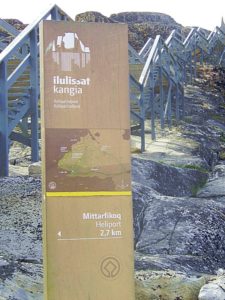 The walk started with a steep climb up the stairs and then some great views over the surrounding area.
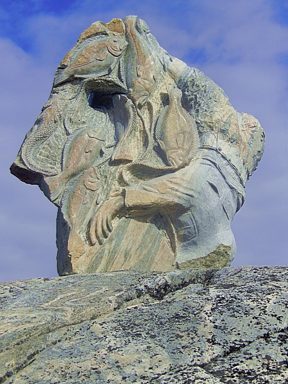
But 1st there was this beautiful work of art on top of the stairs…
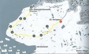
The Yellow Trail is a 2,7 kilometres/1,5 – 2 hrs walk from the Elvaerket to the GL Heliport.
 The above graph shows the elevation level on route…
From the Heliport 2 (or 3) other trails start, but more of that later.
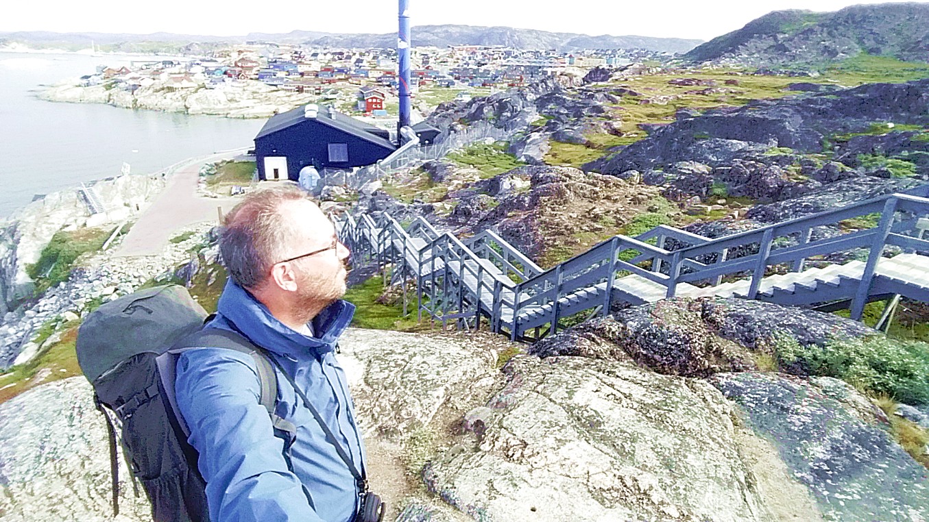
 These pics I took on top of the stairs… (Where I tried to make a vlog about the icefjord, which was quite difficult with the wind blowing loud in the microphone 😉 )
Ilulissat in the background…
The mouth of the Kangia Icefjord in the background…
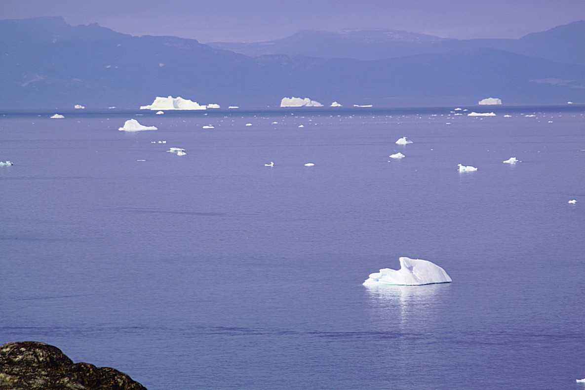
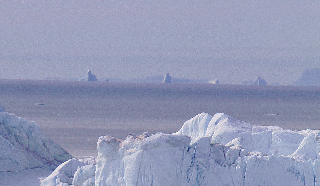
Icebergs drifting into Disco Bay in the background…
Then The Wandelgek started walking south towards the mouth of the Kangia Icefjord…
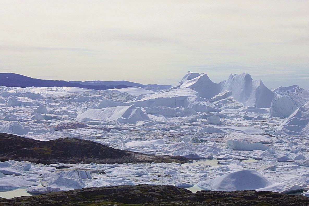
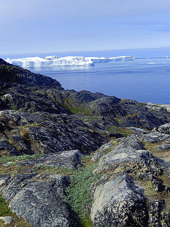
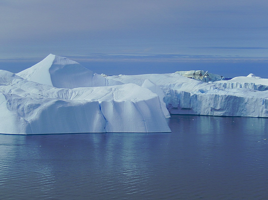
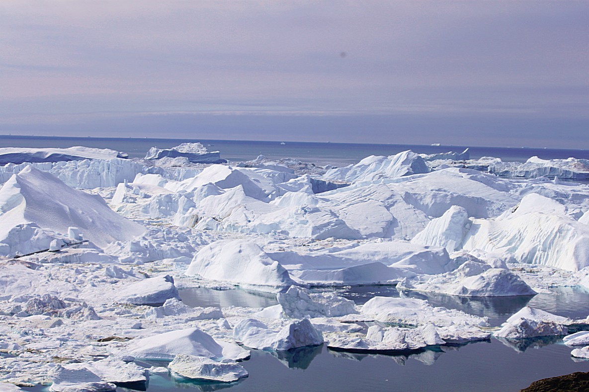
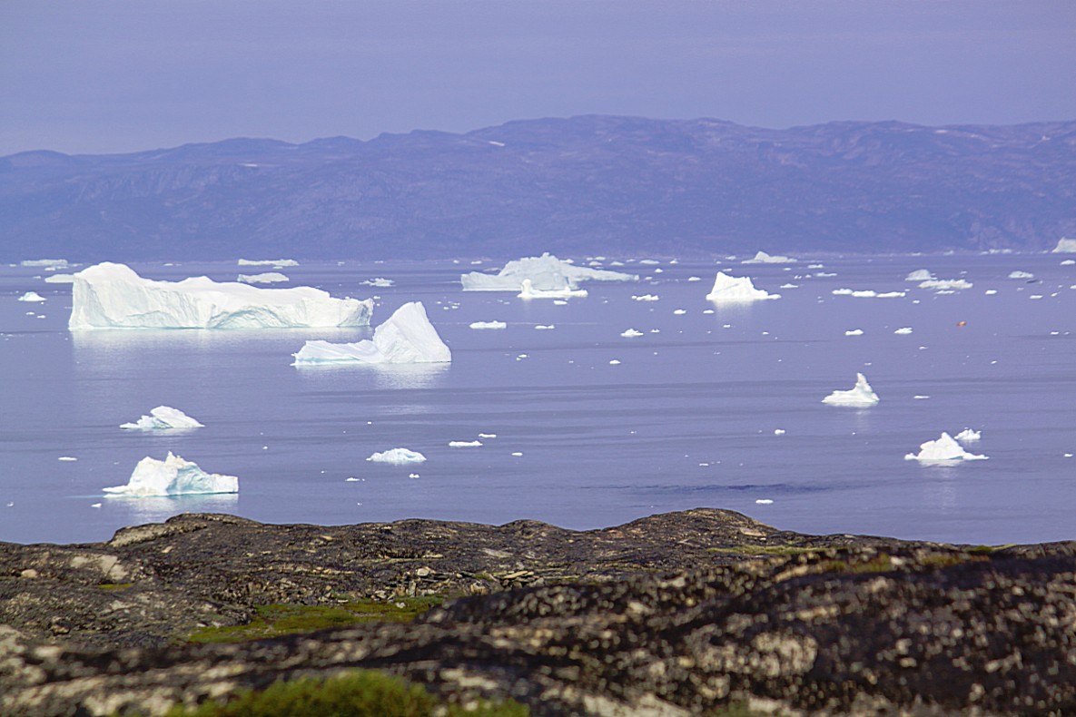
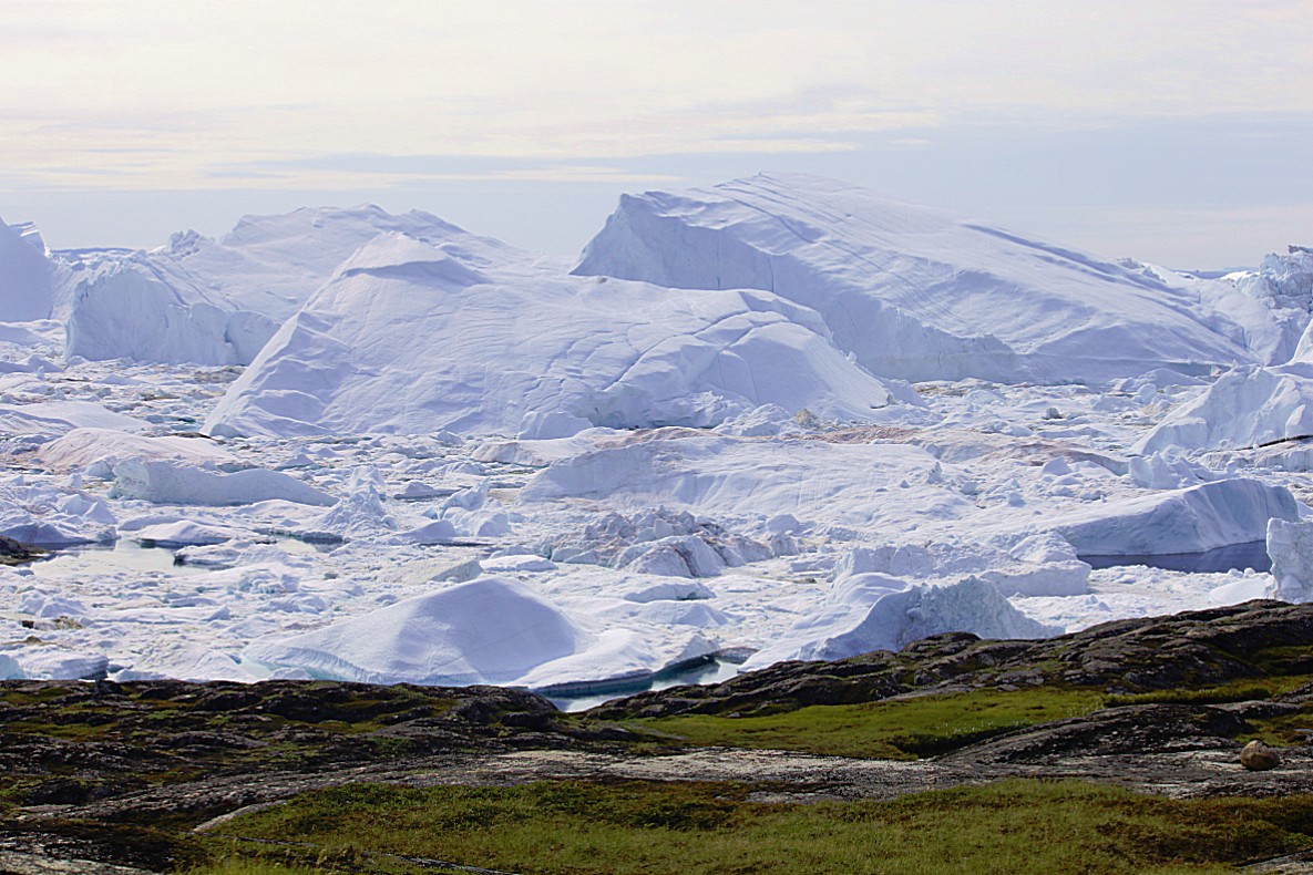
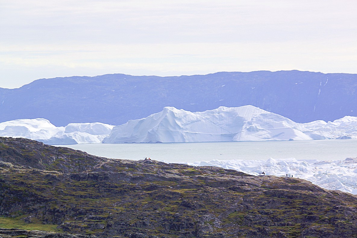
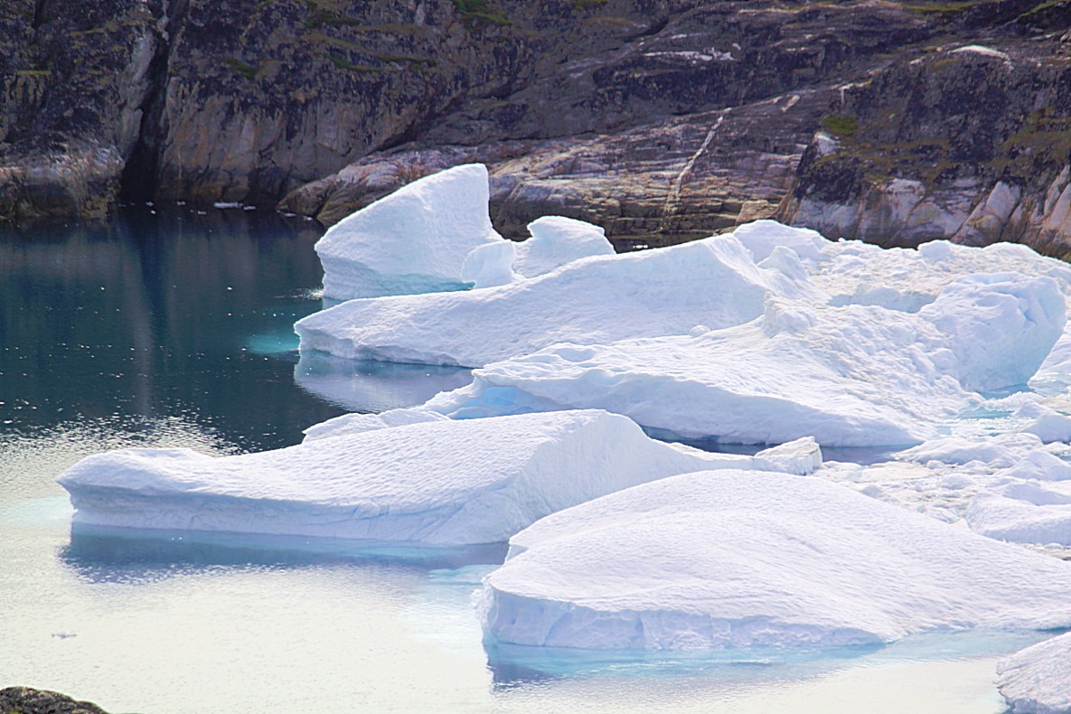
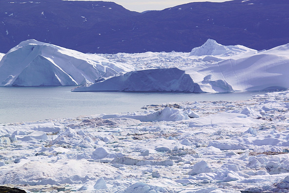
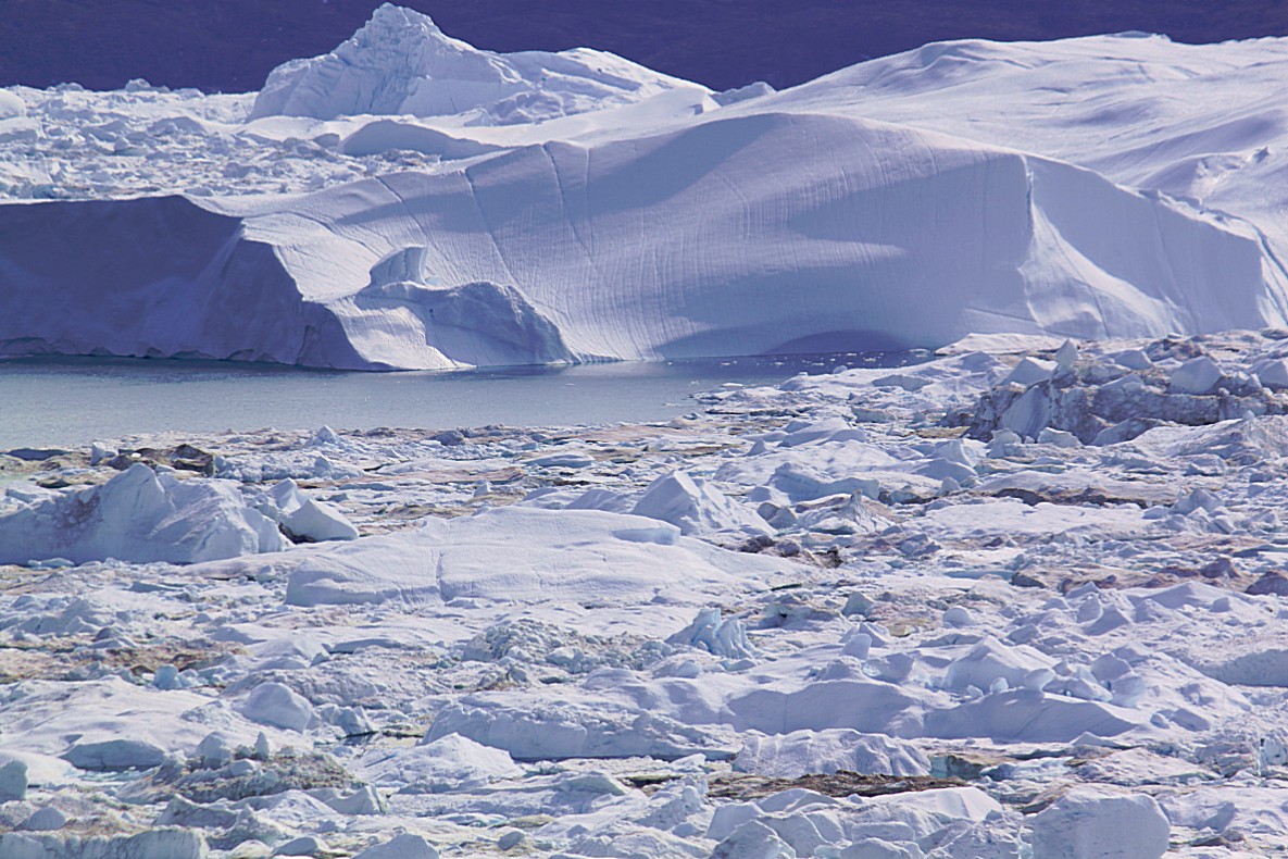
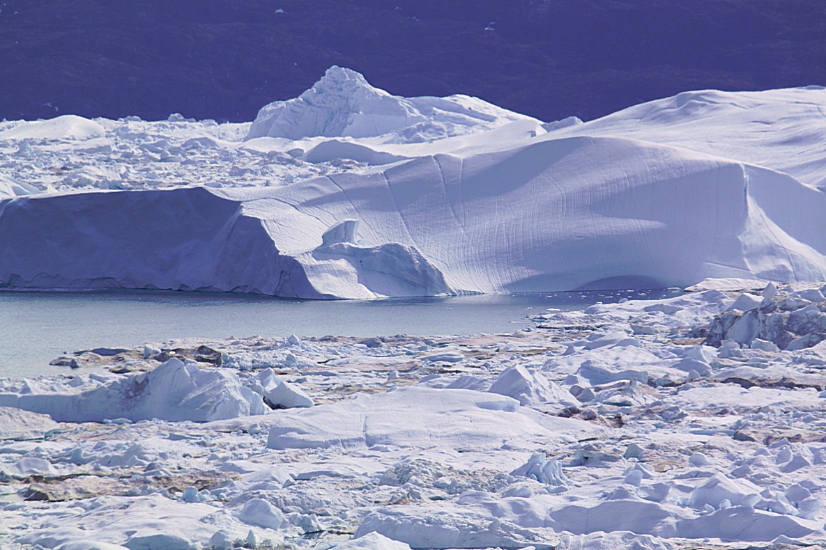
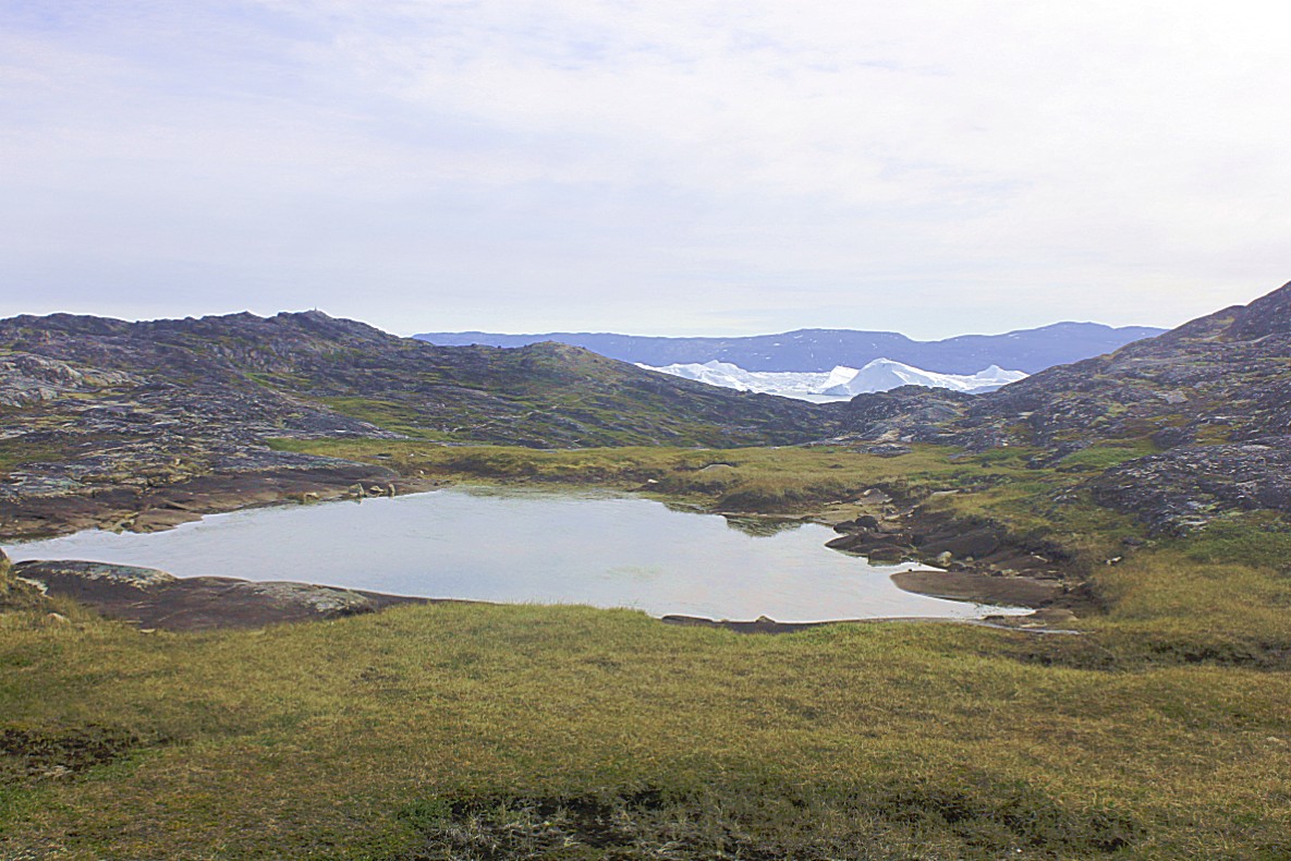
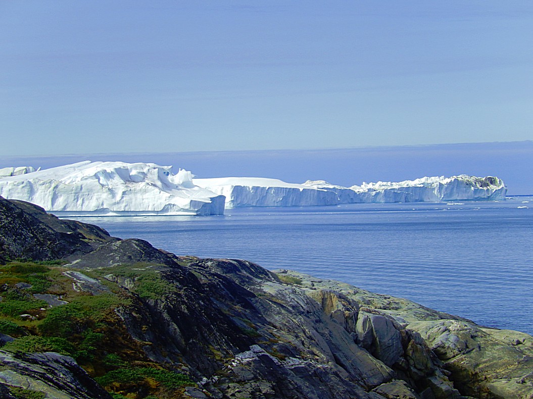 Huge icebergs drift from the Sermeq Kujalleq glacier, over a distance of approximately 45 kilometres towards the undeep spot (200 metres deep) on these photo’s…
The more I got closer to these icebergs the more quiet I got inside…
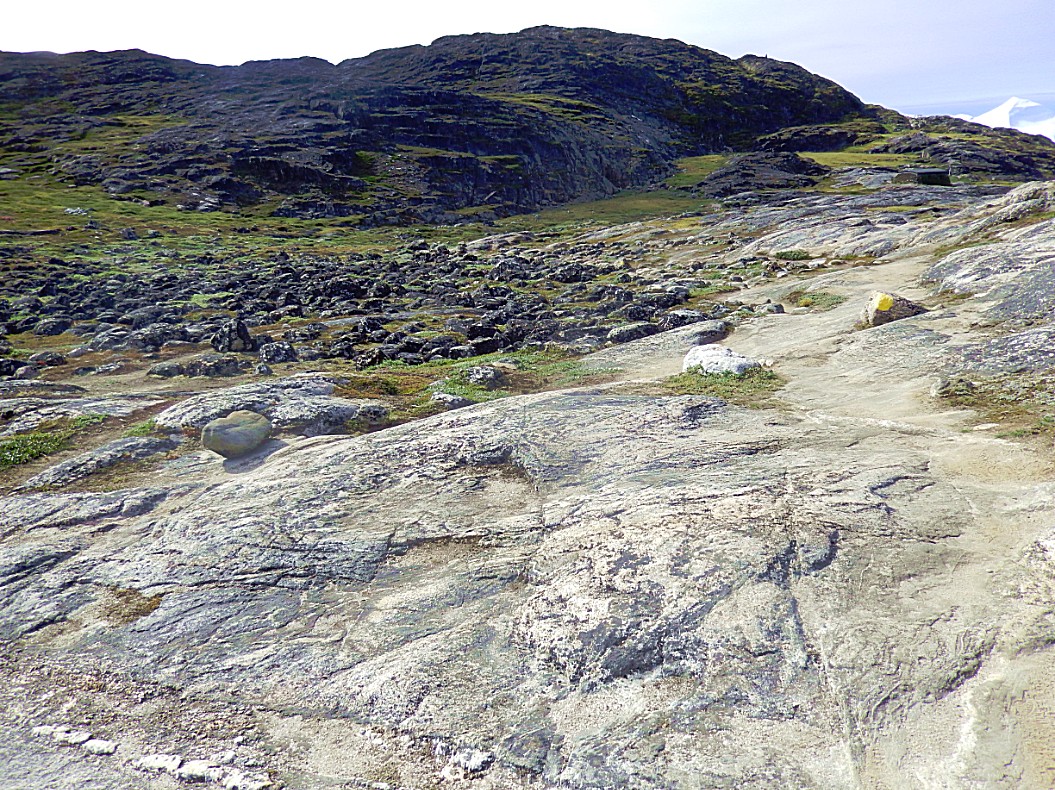
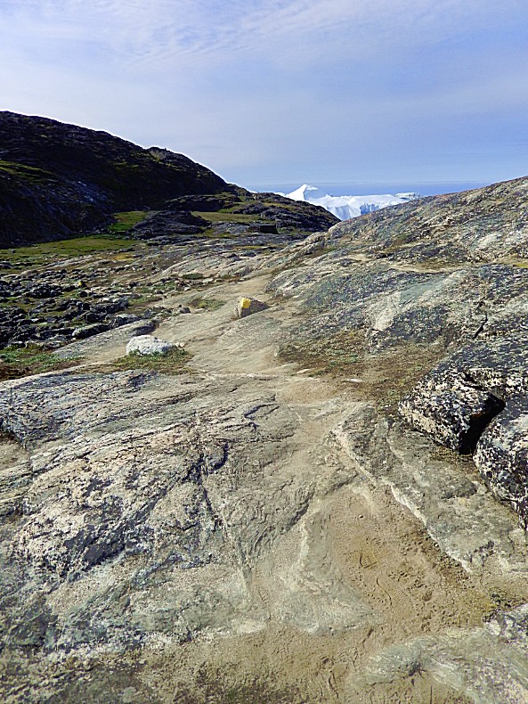
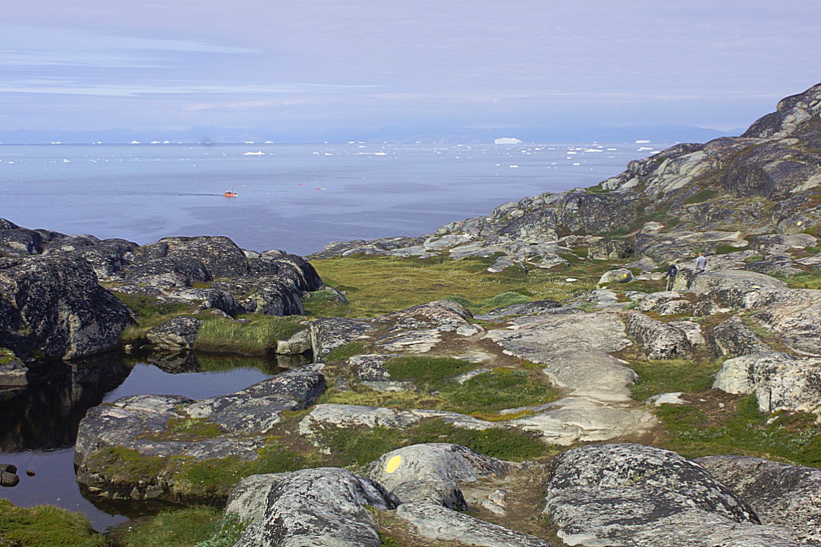
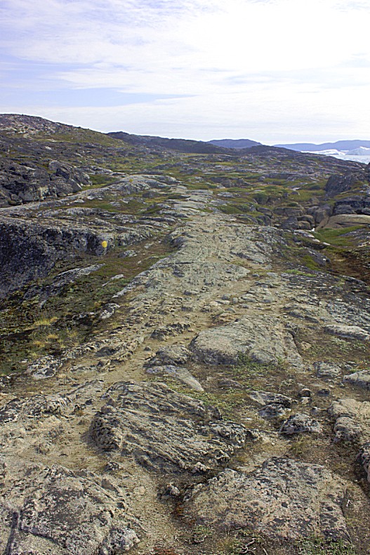
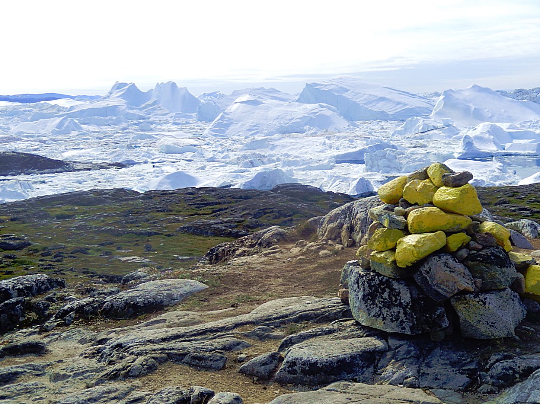
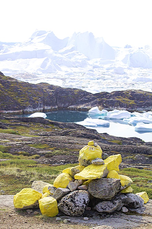
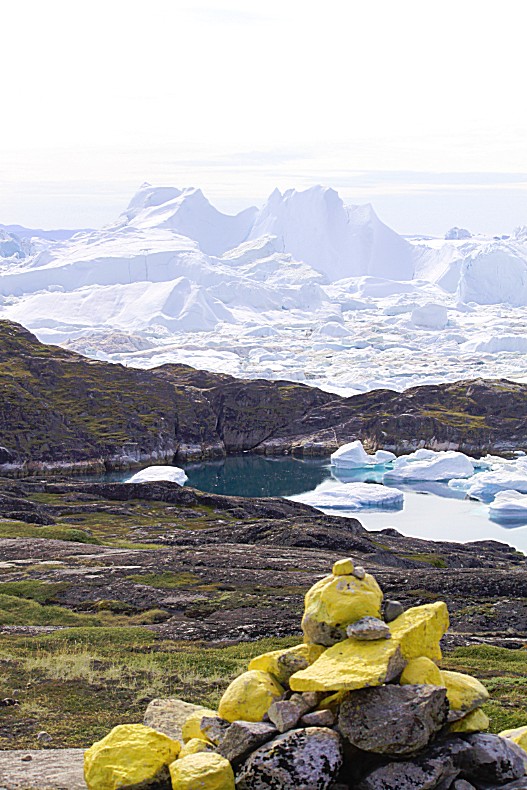
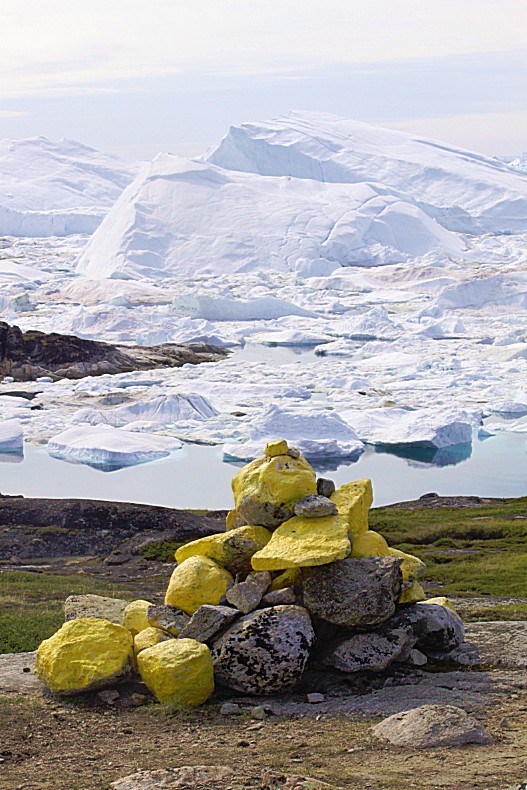
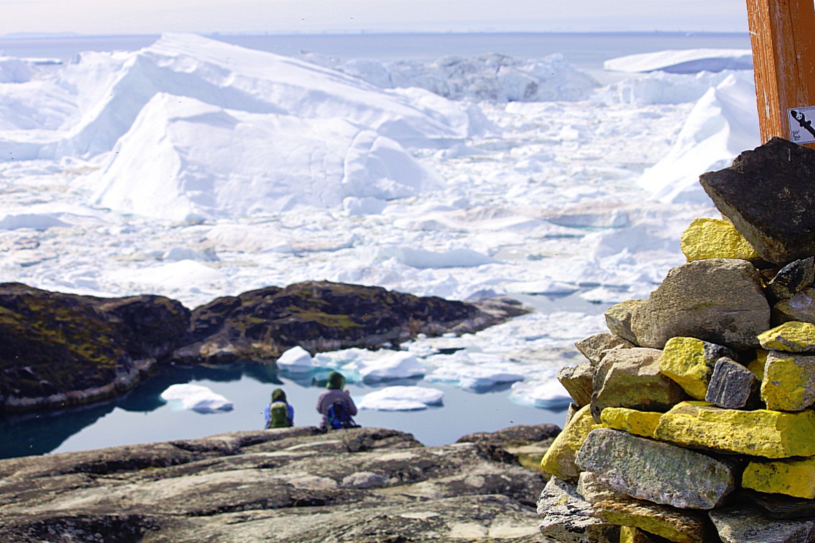
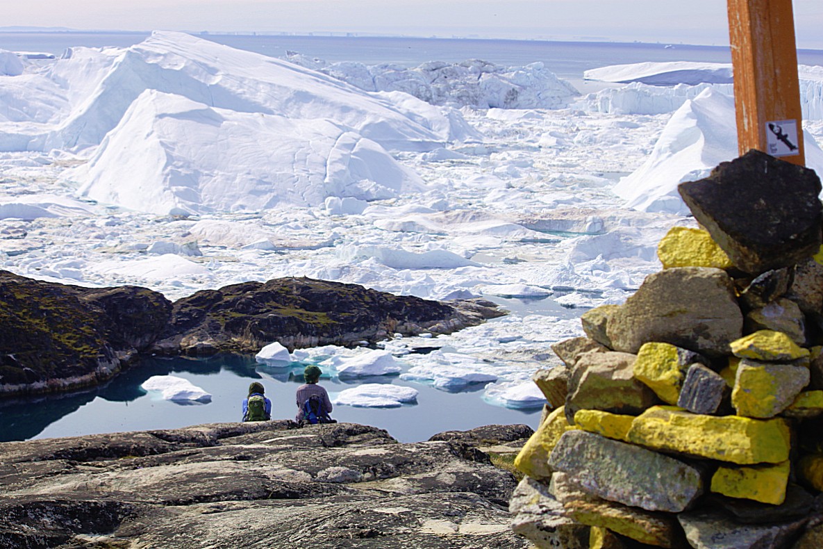
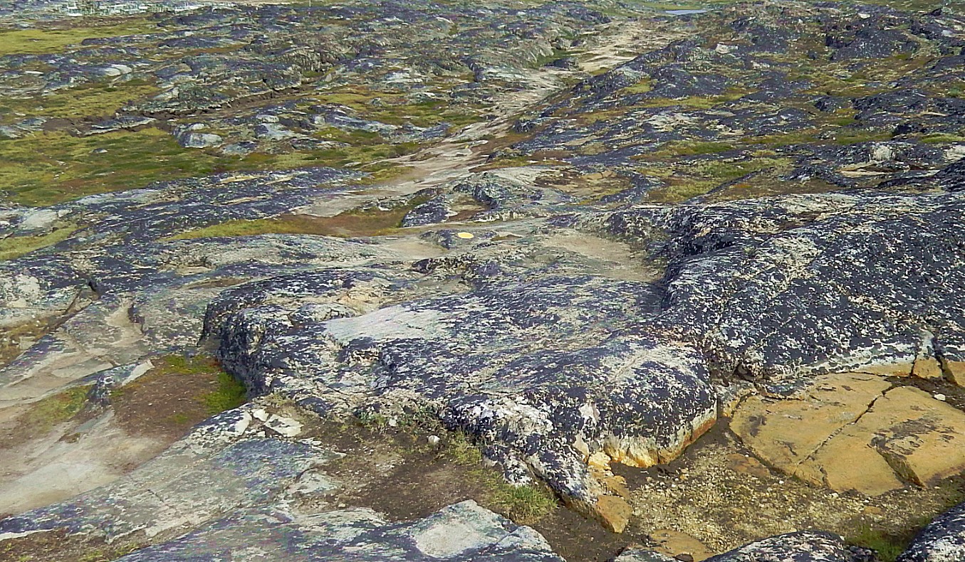
 The trail was marked with painted yellow dots and heaps of stones where the top stones were painted yellow…
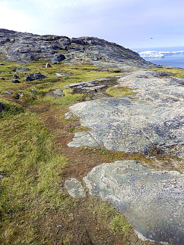
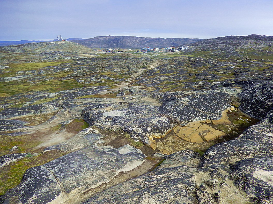
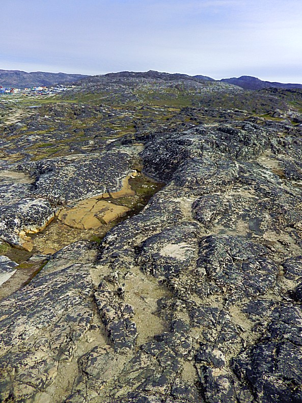
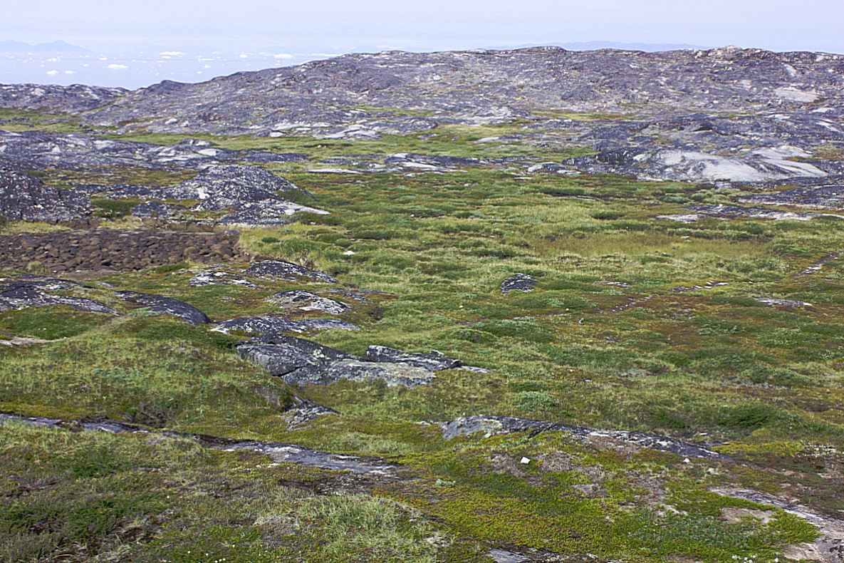
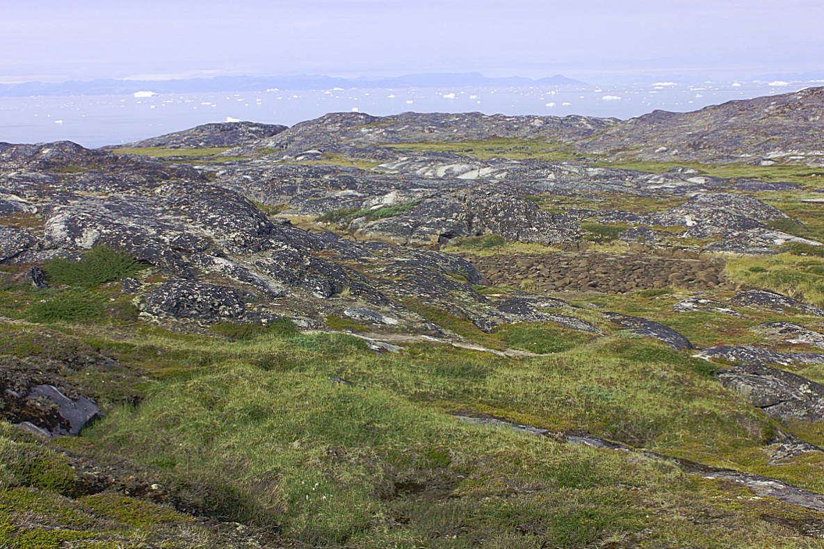
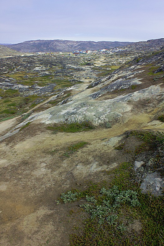
…and the terrain was rocky and uneven, but hey, that’s wat I like most when I’m hiking 🙂
There were no little rivers to cross in this area…
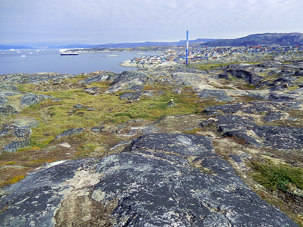
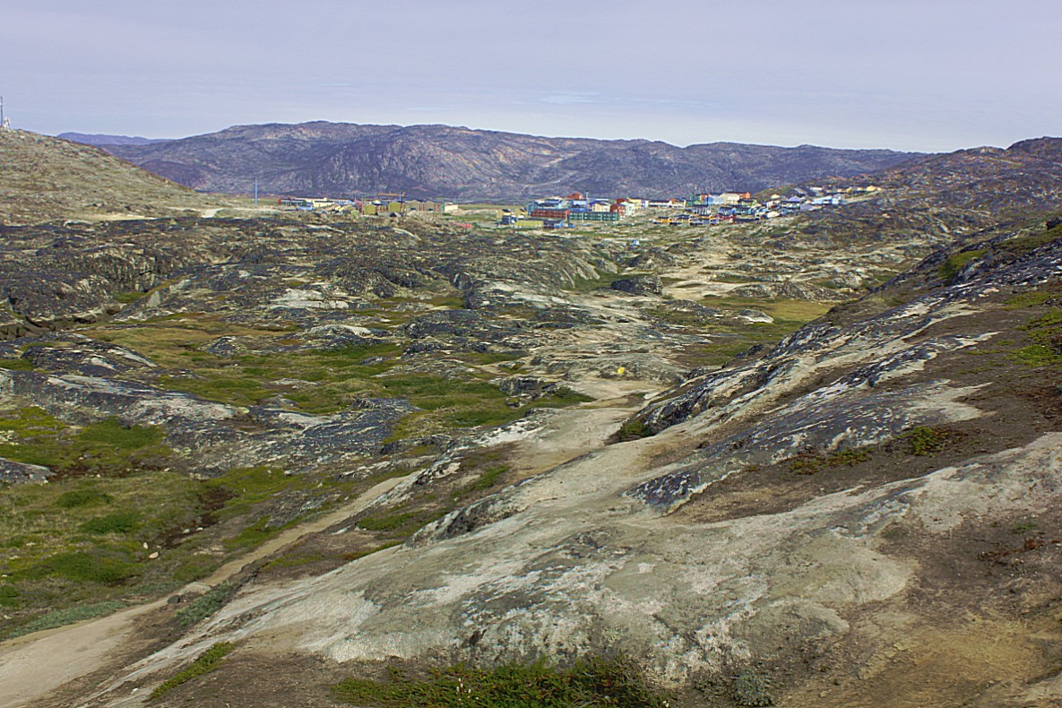
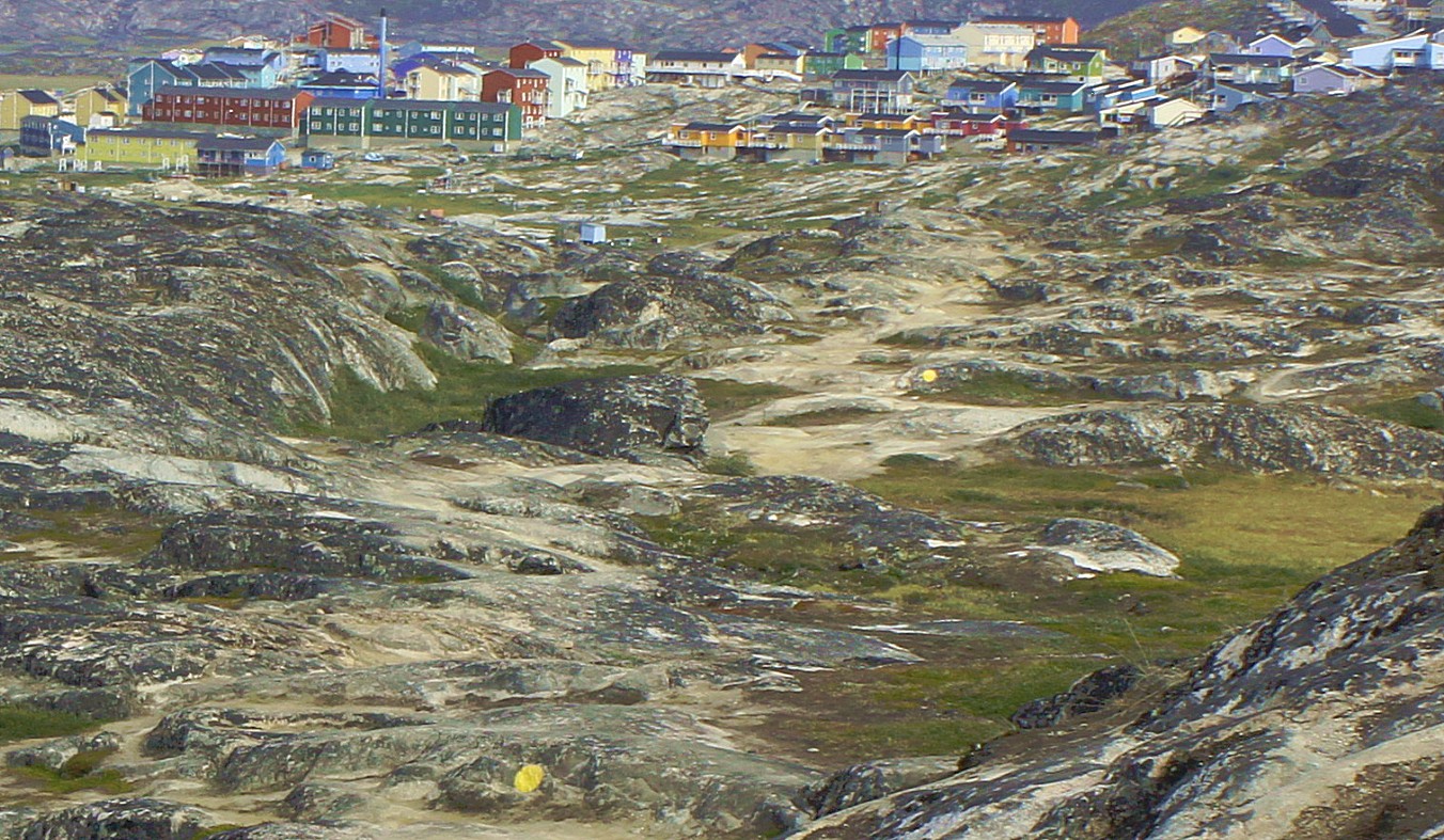
Behind me colourfull Ilulissat slowly started to dissappear…
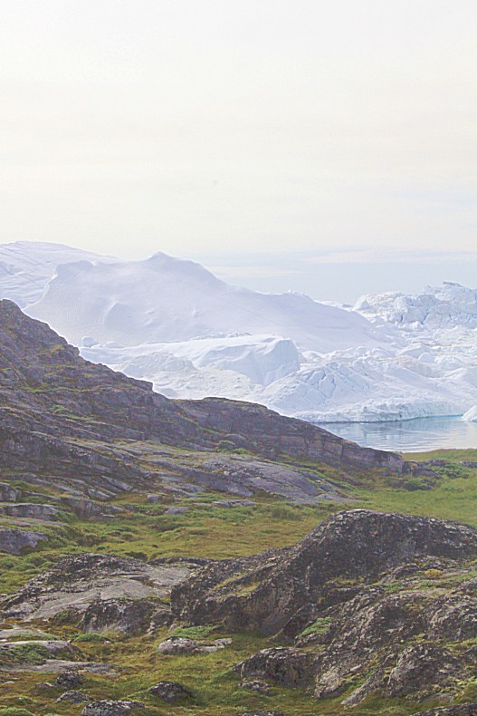
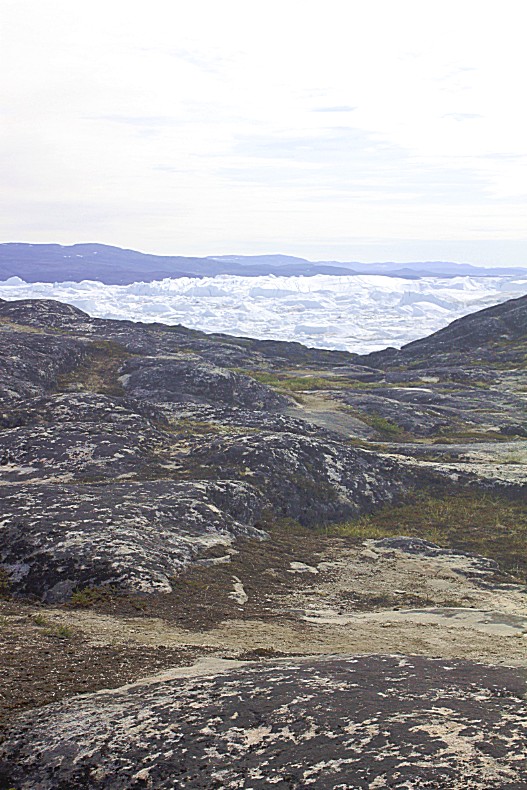
… and before me between the rocks, the icebergs started to grow on me…
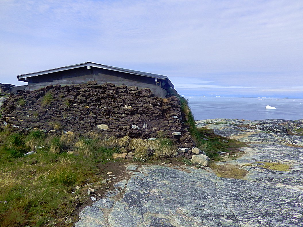
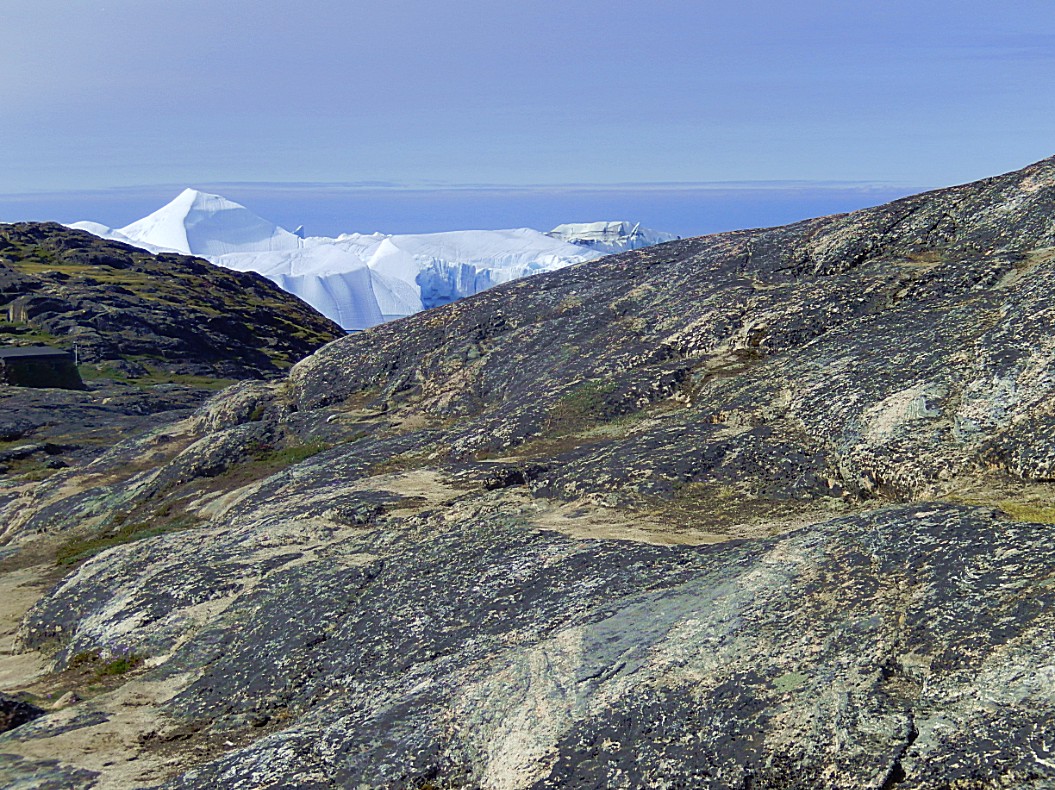 Then I saw on the right a little hut and the trail was going straight to it.
 This hut (1 on the elevation diagram) was a tourist hut, but inspired by the traditional turf huts that were used for a long time by ancient Inuit tribes that lived in this area at the Icefjord…
The Icefjord, which on first sight looks like a hostile environment, is actually an area which supports an abundance of Wildlife (whales, seals and fish) and so it could support humans living there too. There was even a large community of Inuit living at a settlement named Sermermiut, directly located at the edge of the fjord.
About these traditional huts I’ll write more in an upcoming blog.
I walked on had now almost reached the first point from where I’ should have a wide panoramic view over the icefjord…
There were other hikers, but it was actually quite pleasant and tranquil on the route…
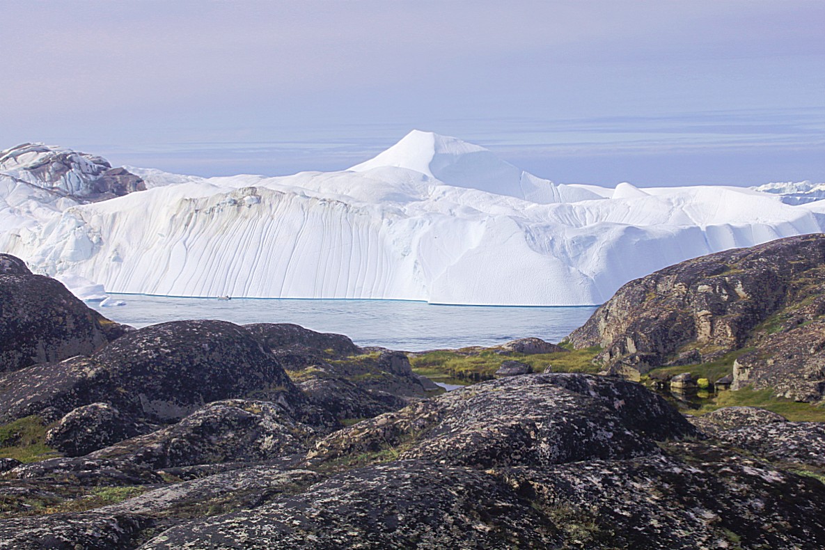
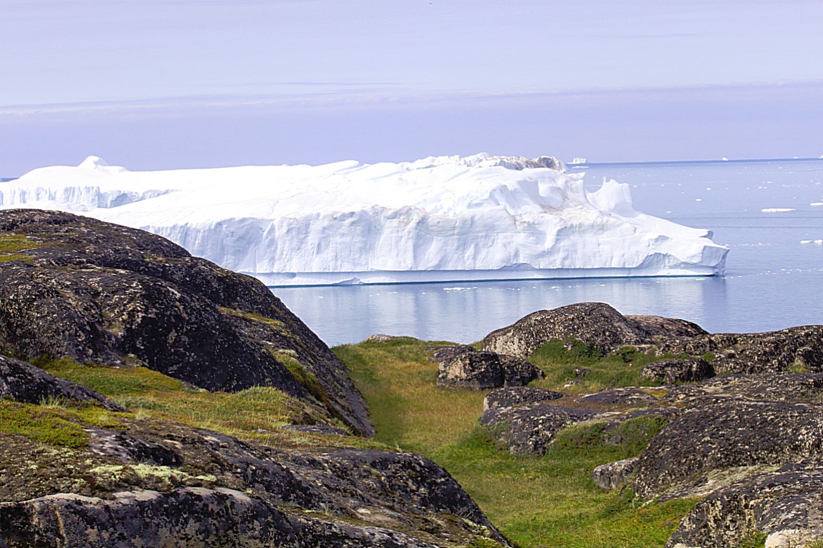 The view point (3 on the elevation diagram) rendered me breathles and stunned for several minutes. Of course had I heard before of the beauty of these colossal iceberg giants, and it even was the main reason for me to go to Greenland, but hearing about it or seeing pictures on Instagram or Twitter is quite different from reality…
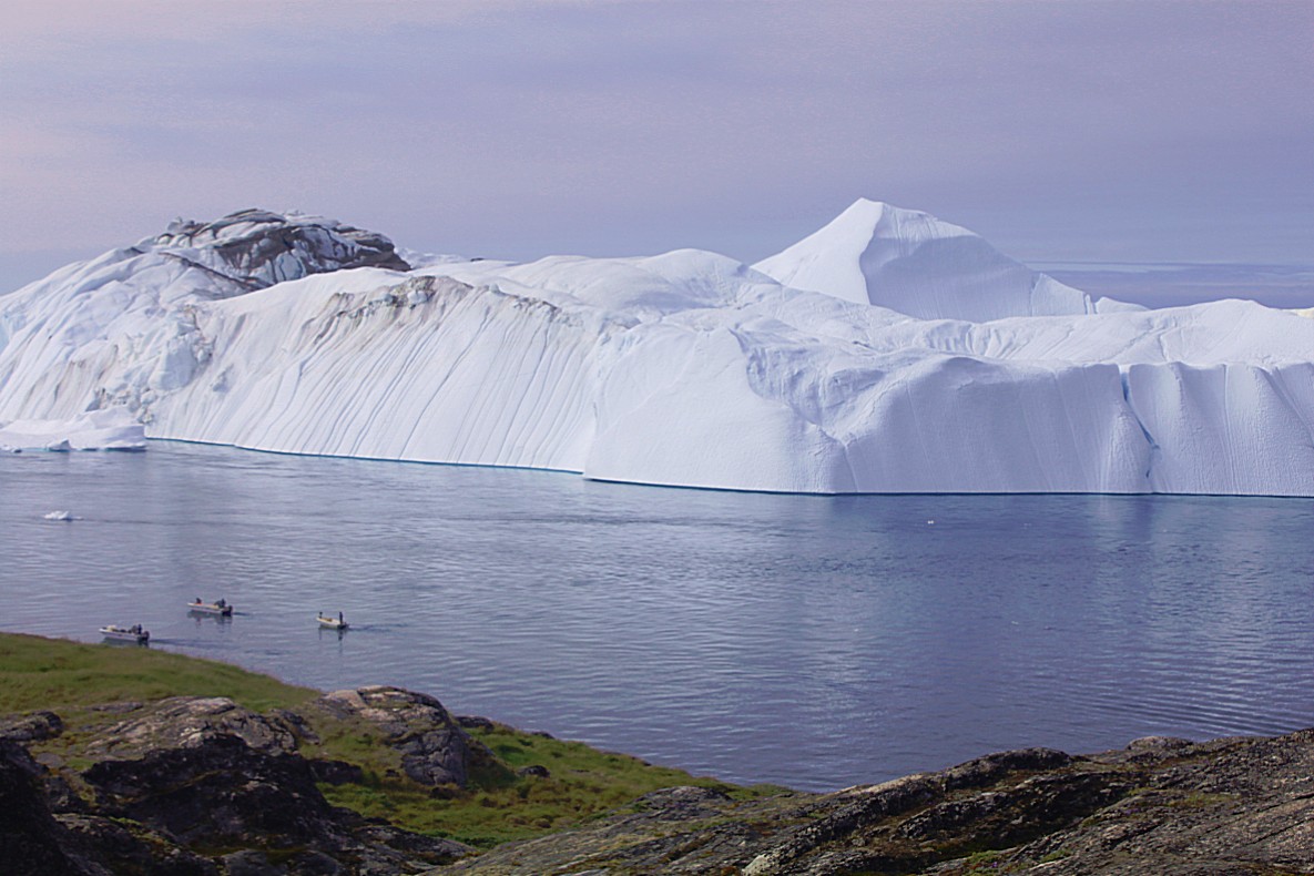
There were little fishing boats sailing in the fjord. I suppose that is quite dangerous, because a huge ice calving from an iceberg, can cause mini tsunamis and boats that small could be smashed upon the land…
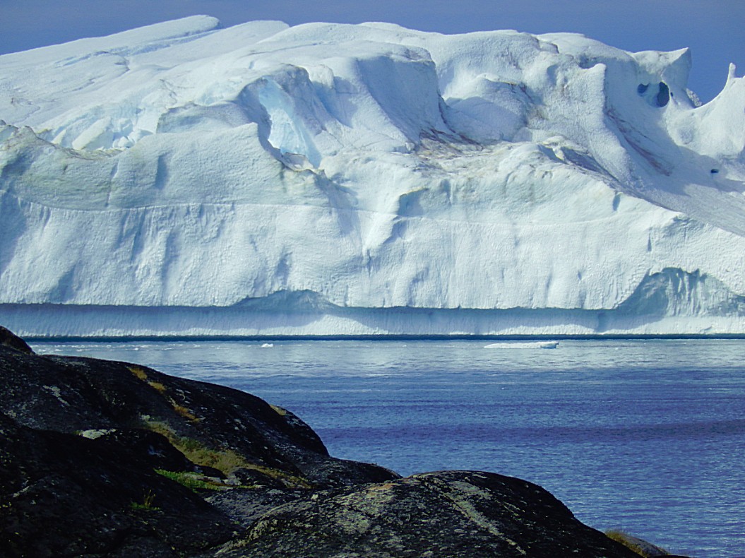
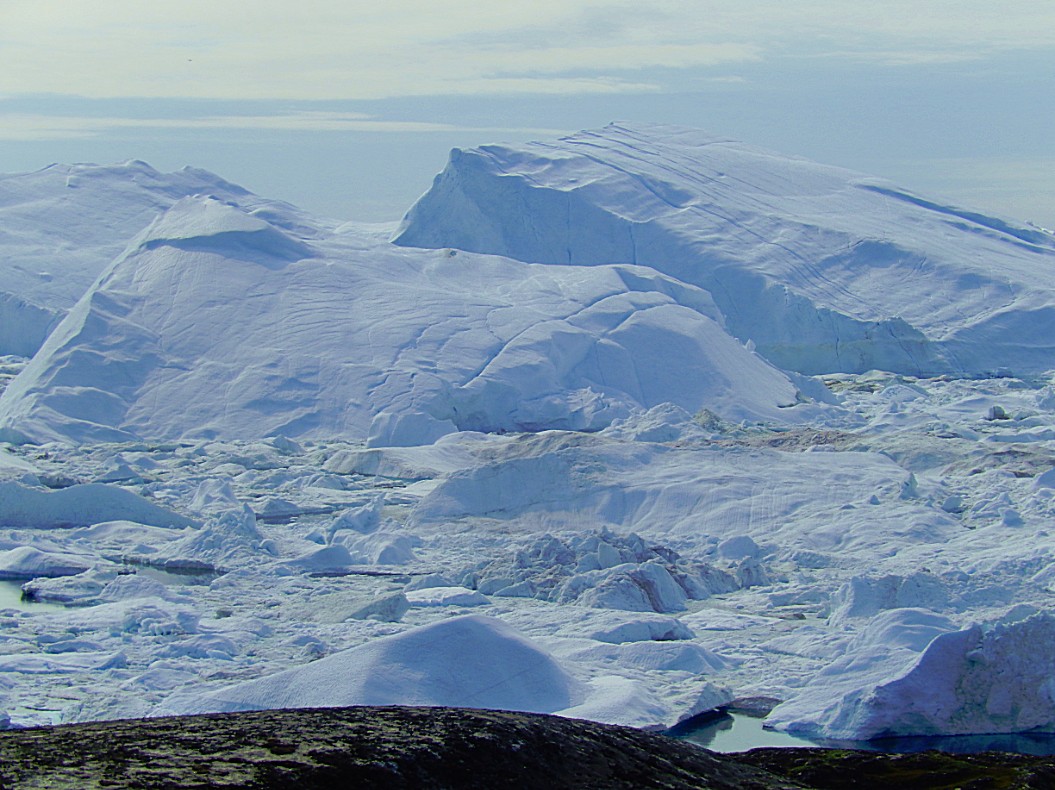
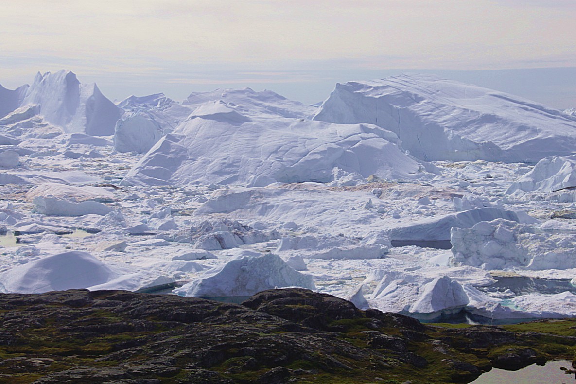
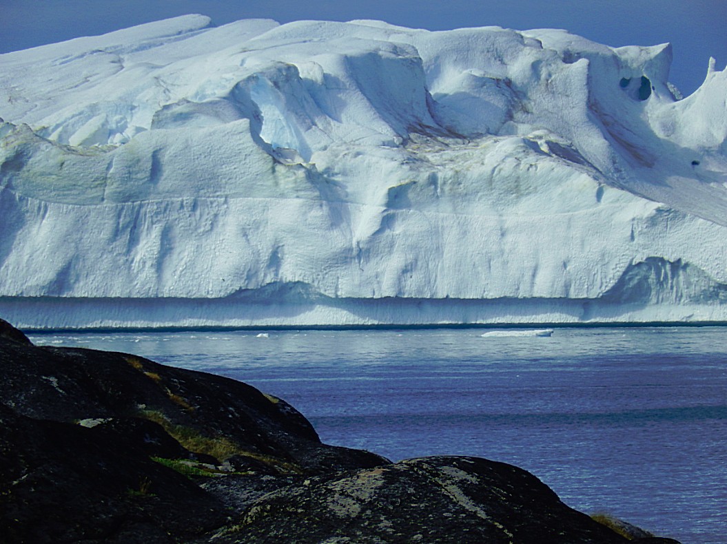
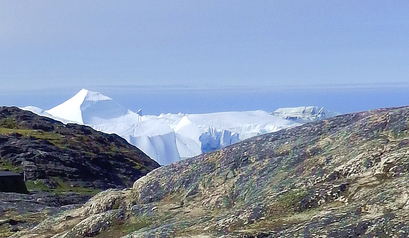
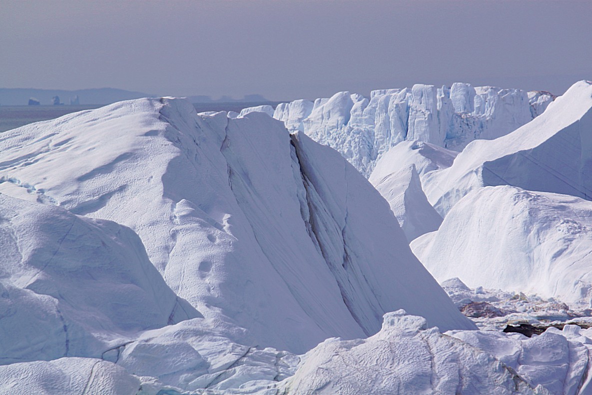
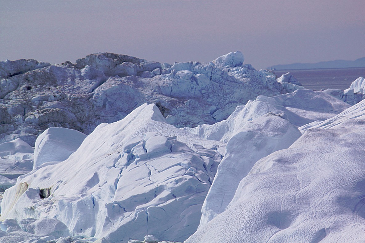
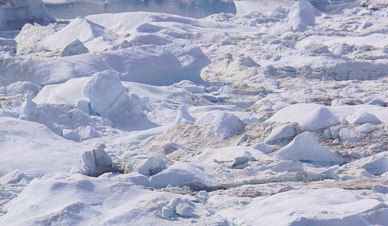
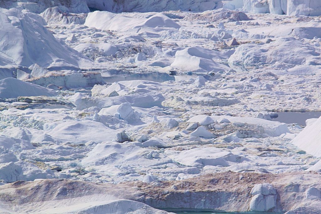
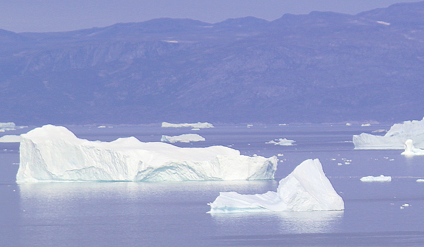
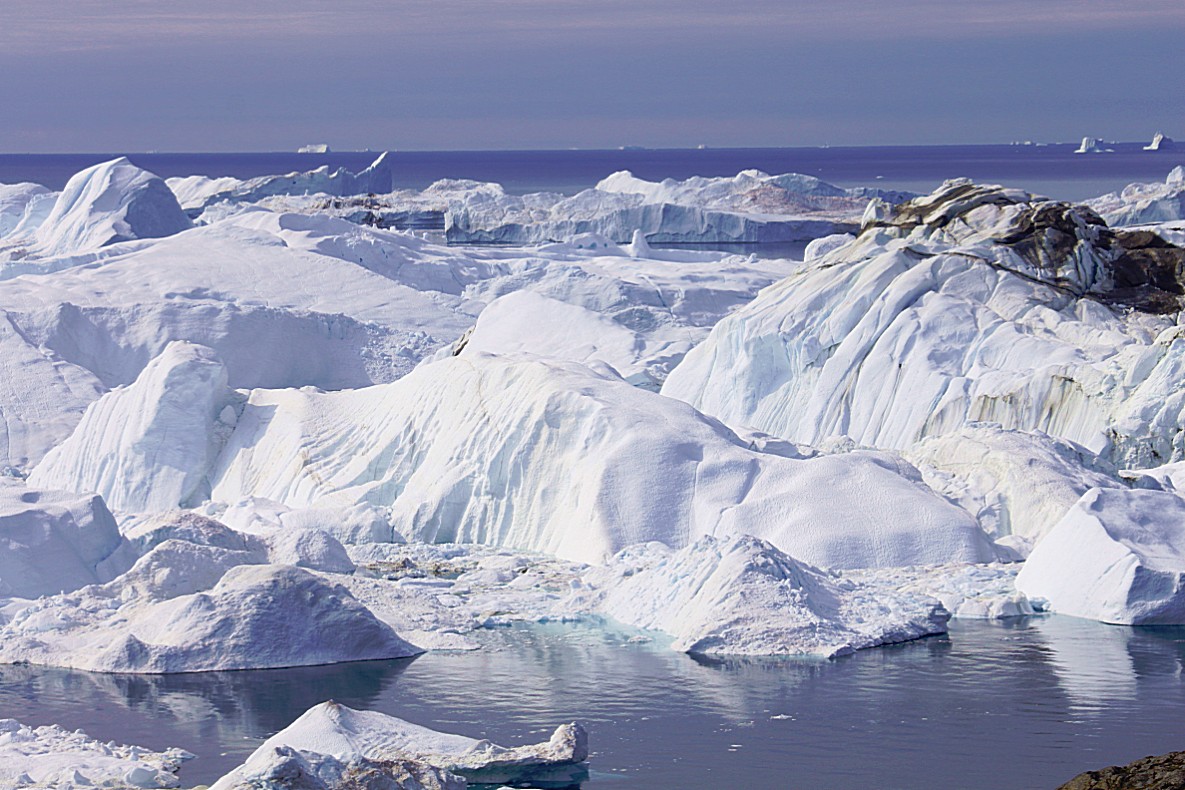
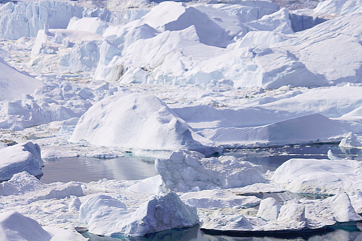
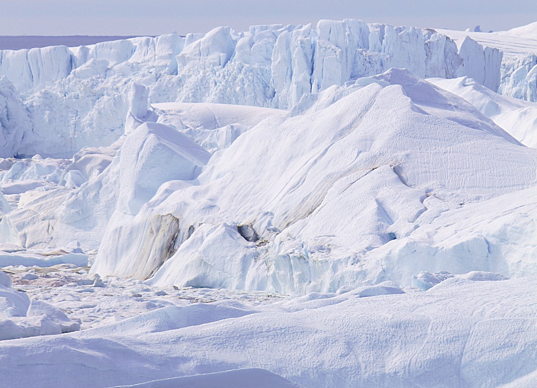
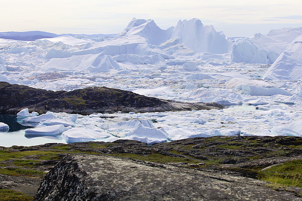
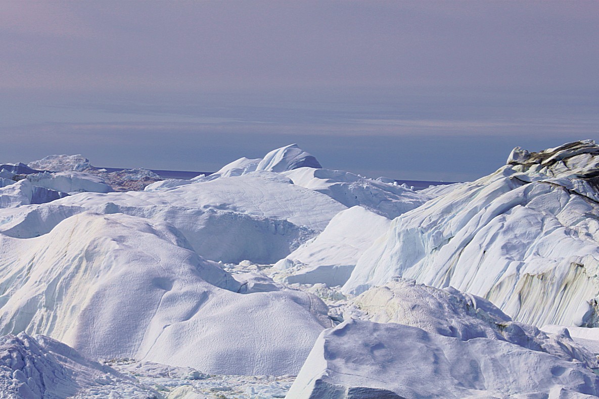
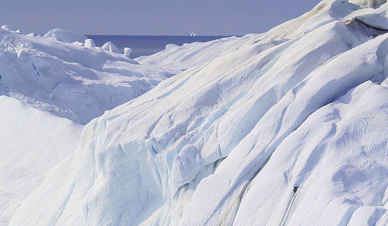
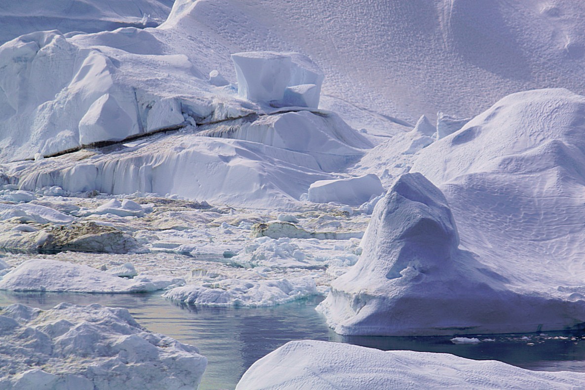
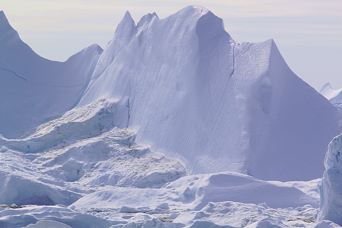
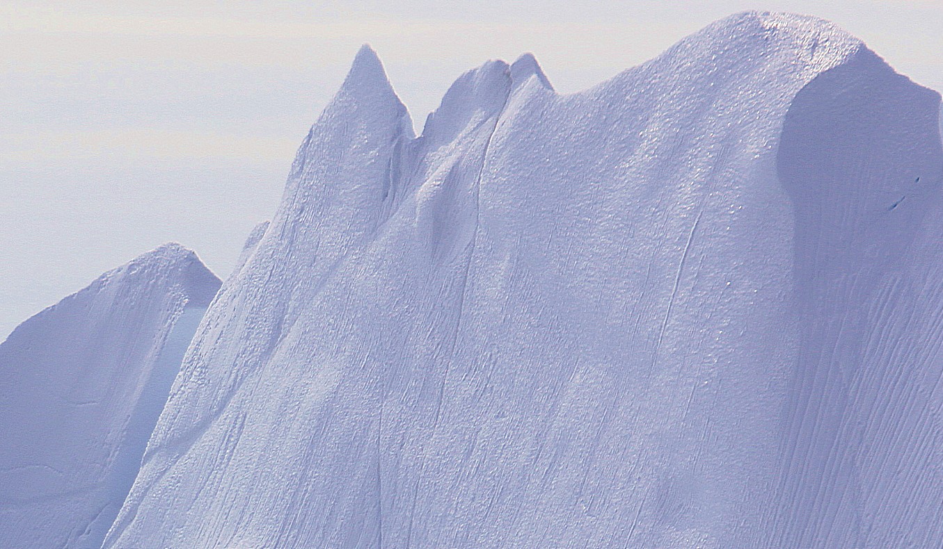
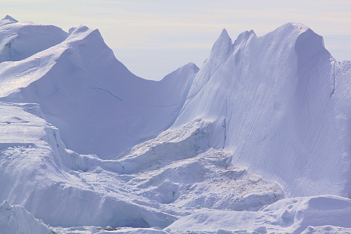
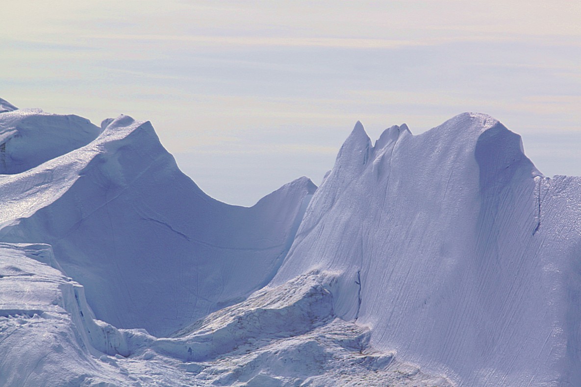
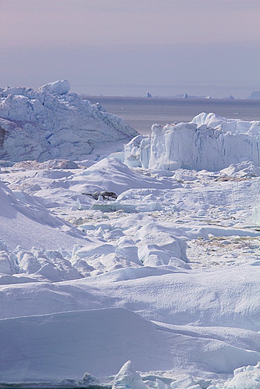
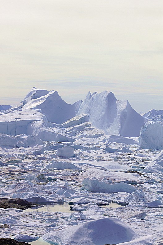
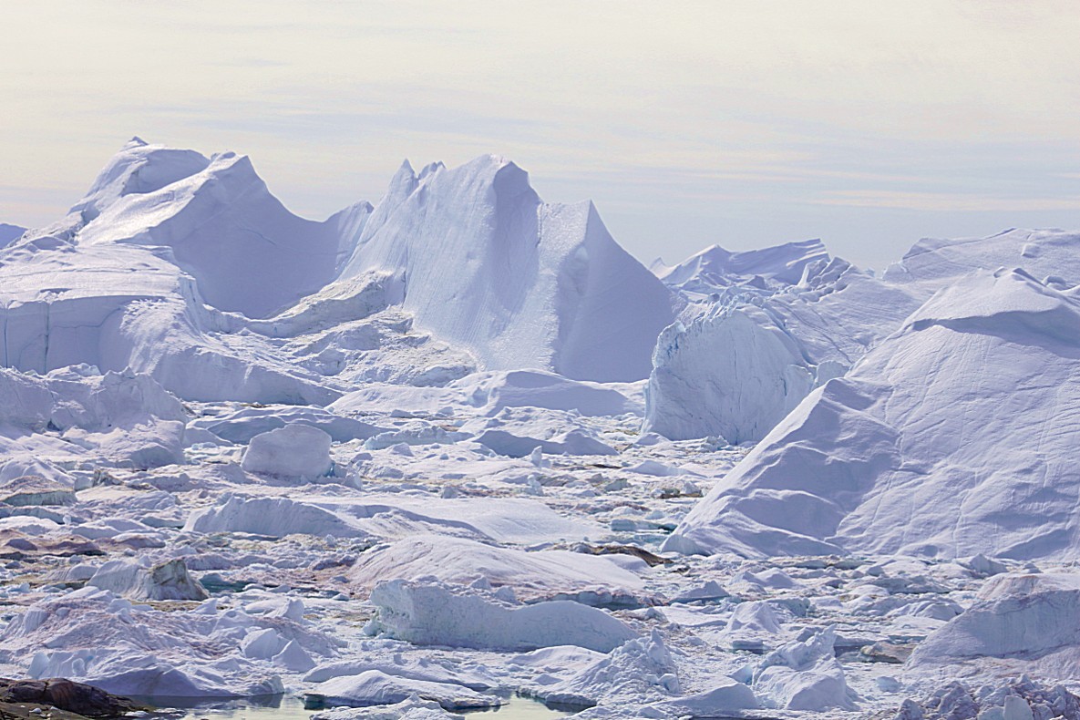
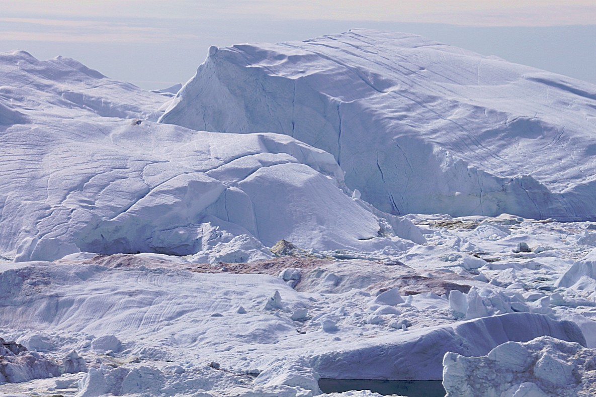
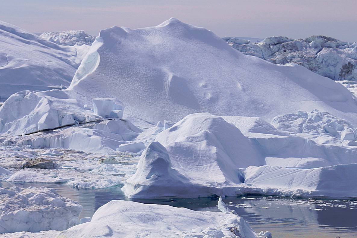
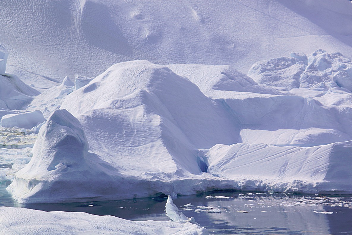
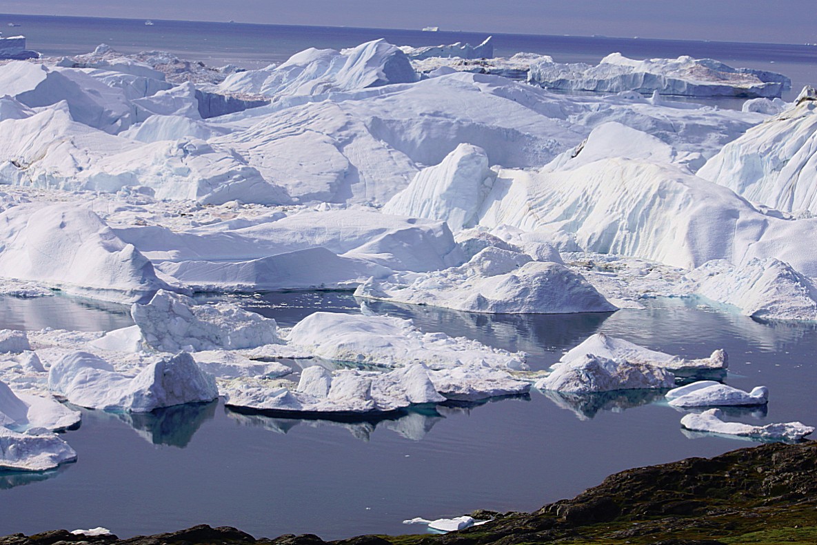
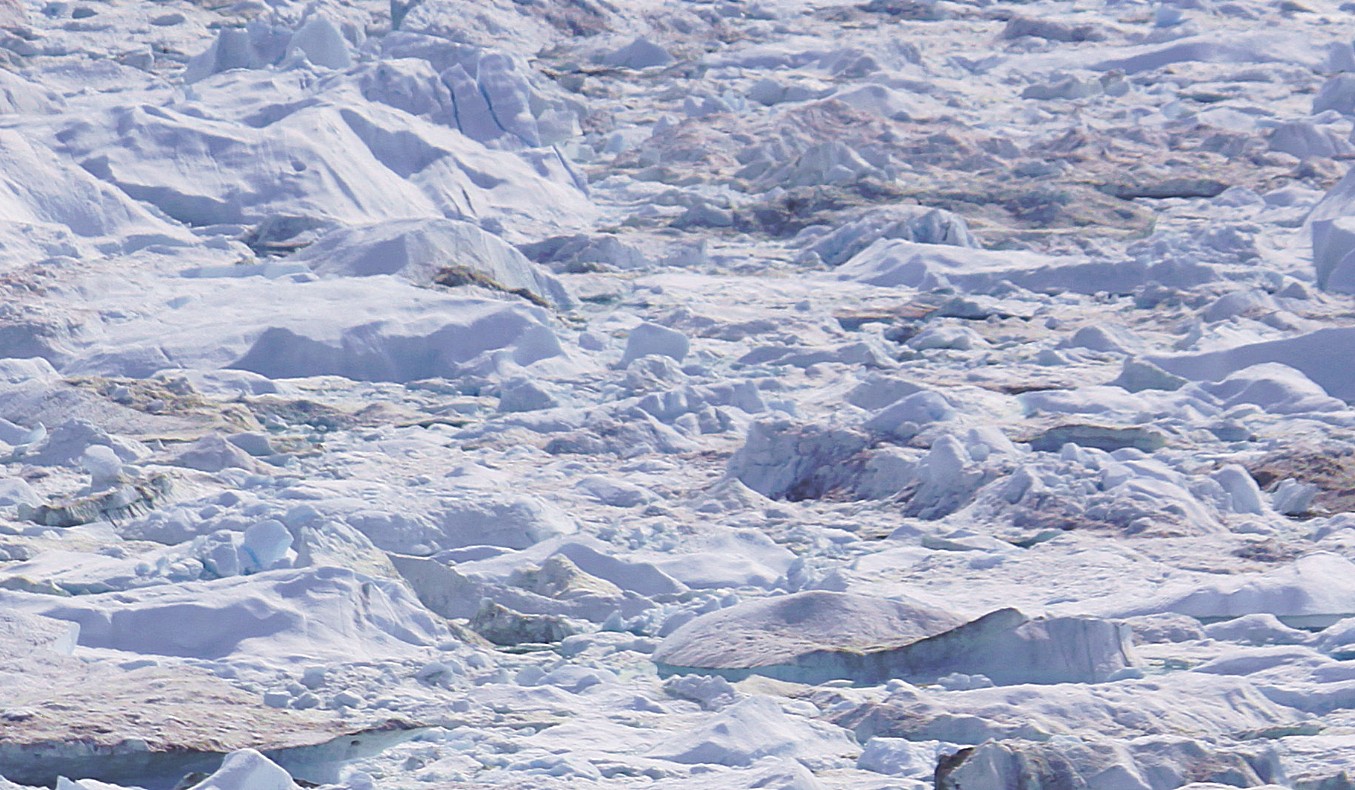
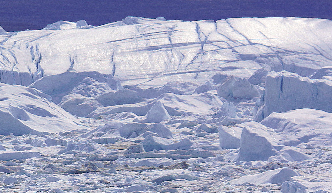
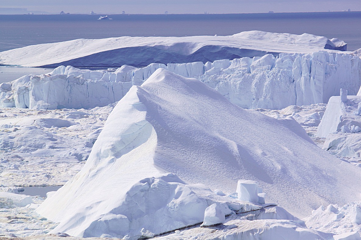
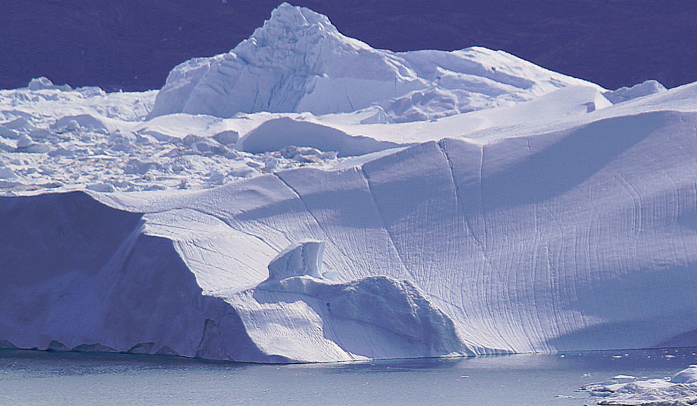
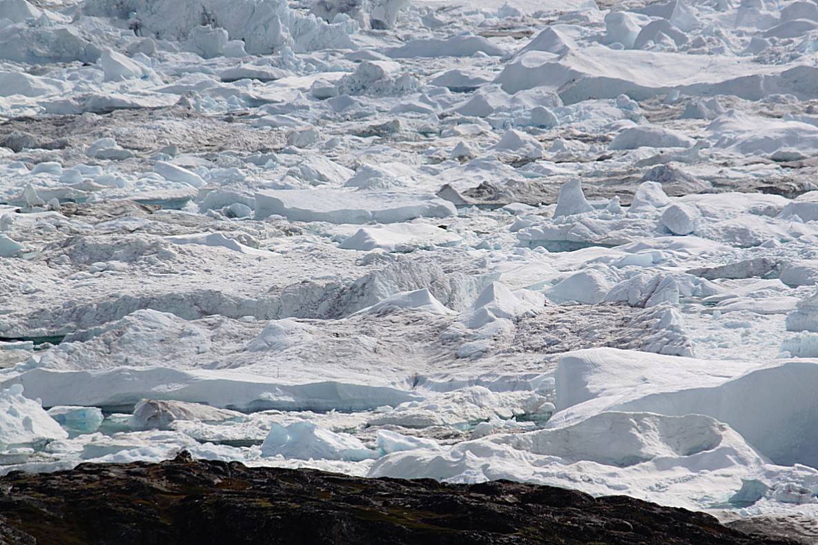
These icebergs were really, really huge, but I could also see the many deep cracks that were breaking these giants into pieces…
It was simply impossible to walk on. The Wandelgek threw his backpack on the rocky ground, took his camera and started shooting…and shooting…and shooting. Tons of icebergs and tons of pictures 😉
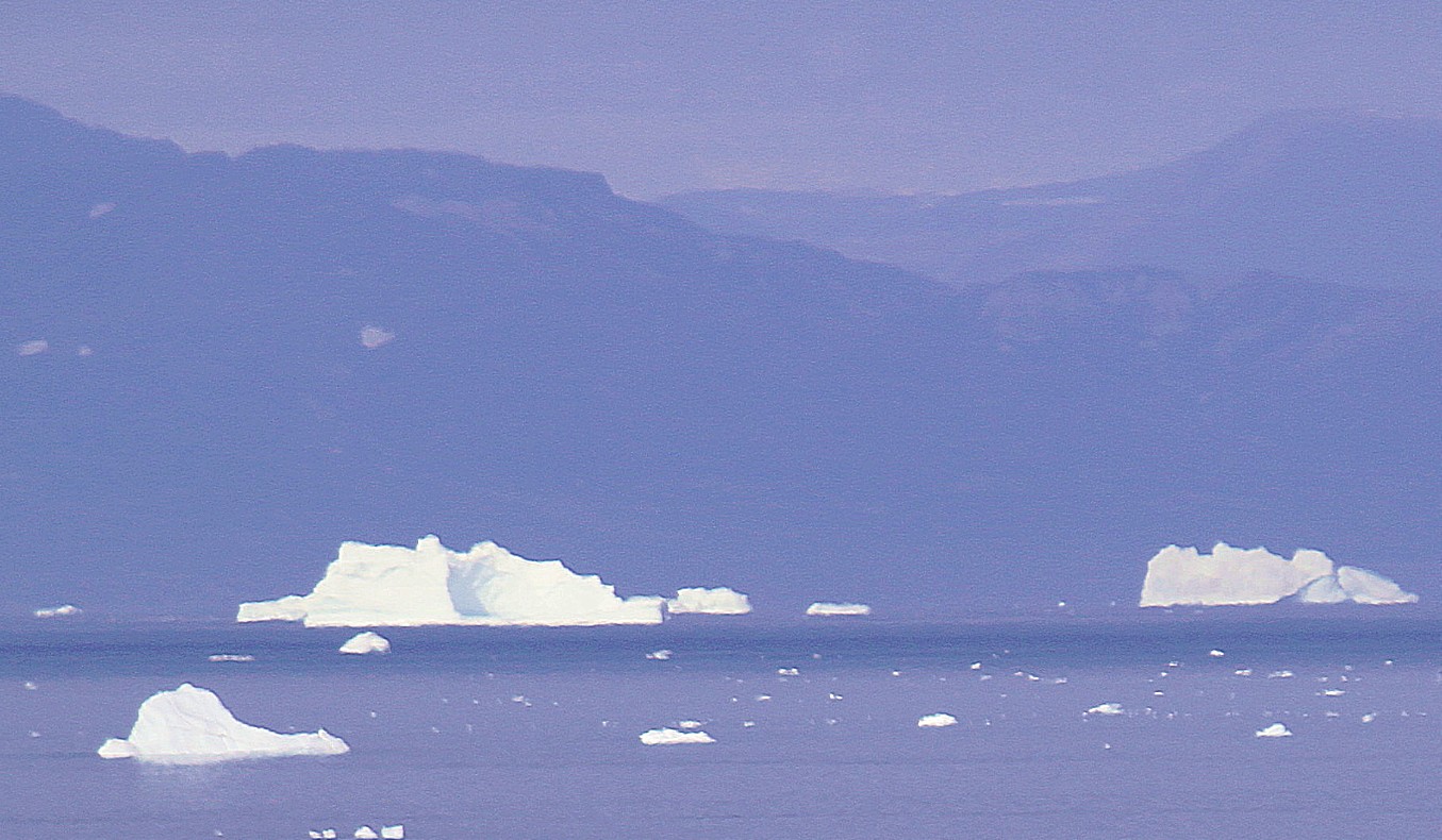
Far away in the distance it was possible to see huge icebergs drifting in Disco Bay…
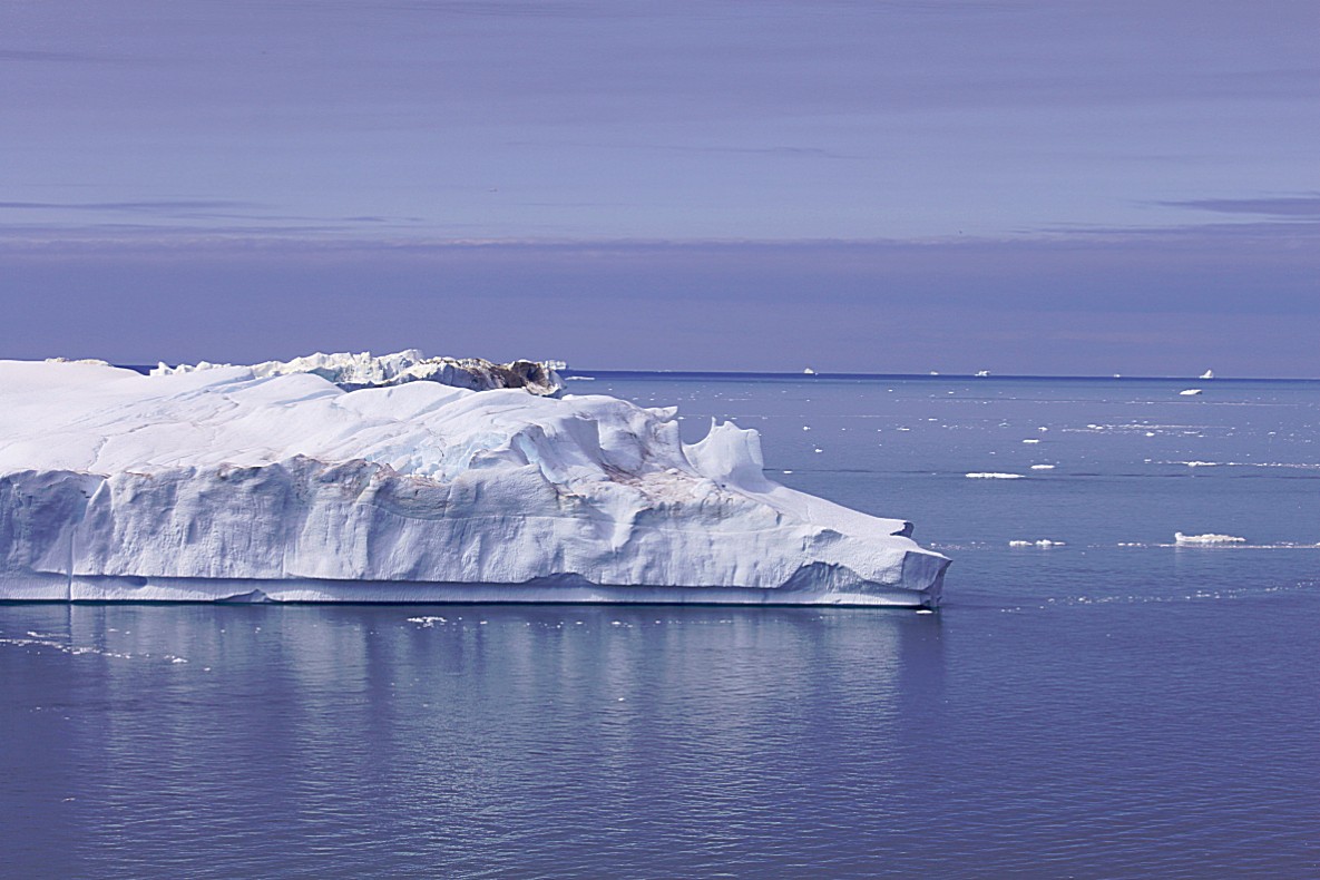
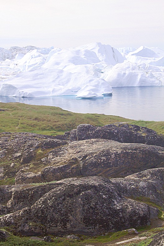
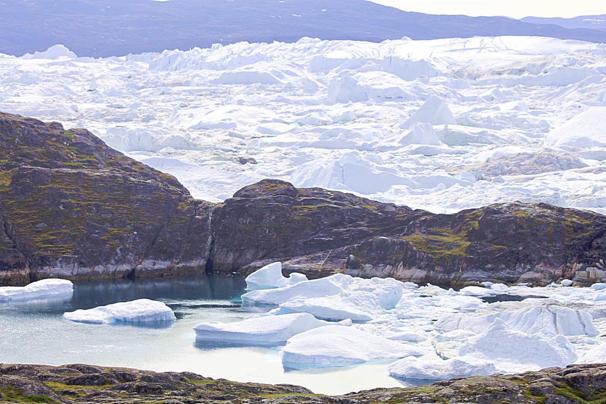
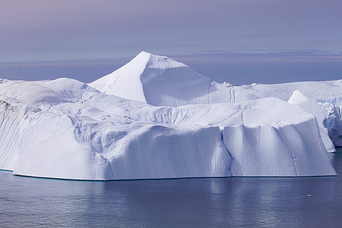 Now a descend followed and a relatively low flat area (4 on the elevation diagram) where the path followed the fjord away from open water. The views here were even more spectacular because of the low vantage point…
Following the yellow dots again 🙂
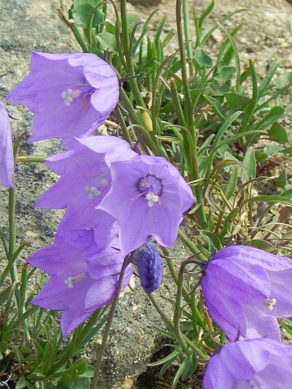
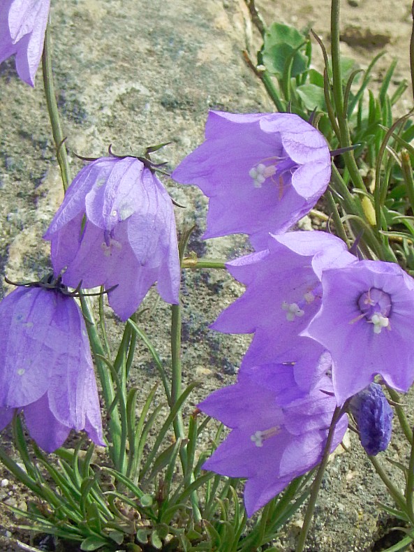
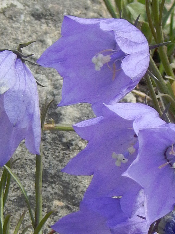
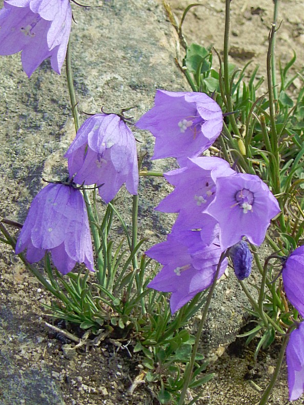
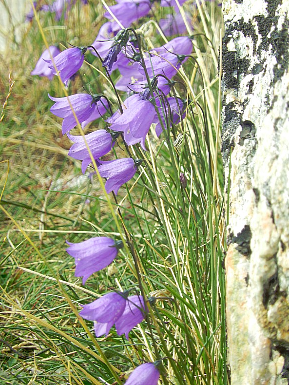
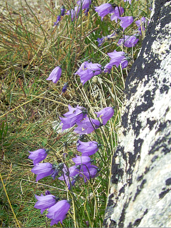
The beautiful Greenland Bluebell or Greenlandic Bellflower blooms in Juli and August and is between 5 and 10 centimetres in length.
After a while the trail ascended again to another fantastic viewpoint…
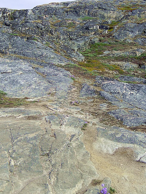 The next section of the trail is that impressive that I advise everyone who hikes this for the very 1st time to ignore the timespan mentioned for walking this route and double or even triple that time. Not because the estimation is incorrect, but simply because you’ll stop walking…
These yellow stones on top of a stone rubble heap, are easily seen from afar on a bright day. Do however bring a map in case you’re gonna hike in mist… 😉
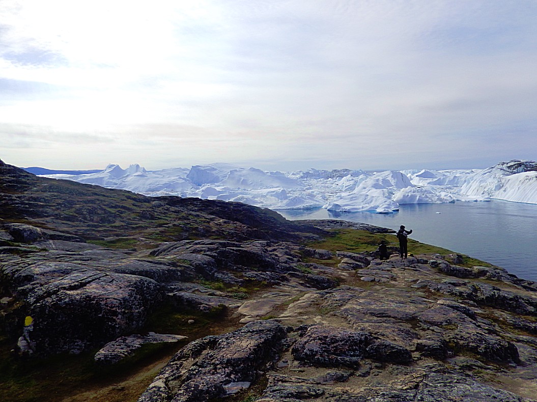
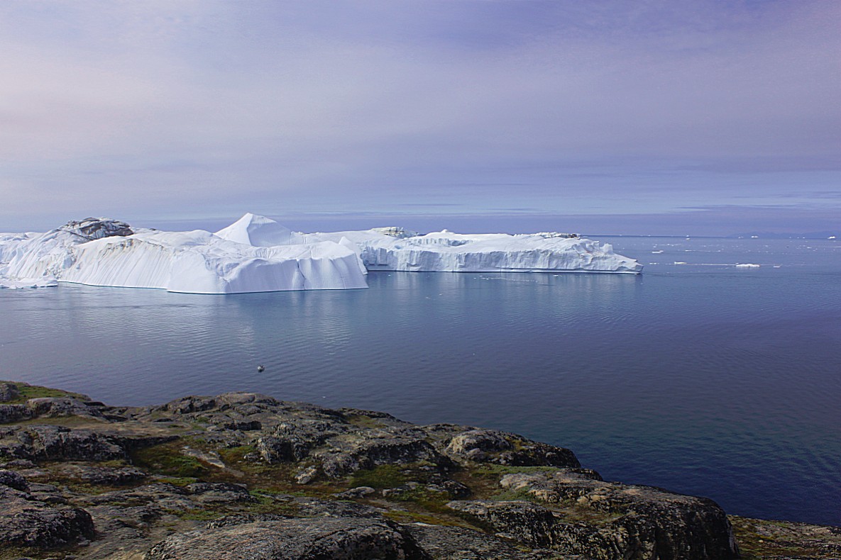
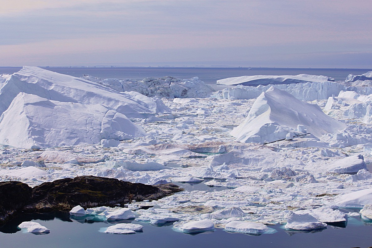
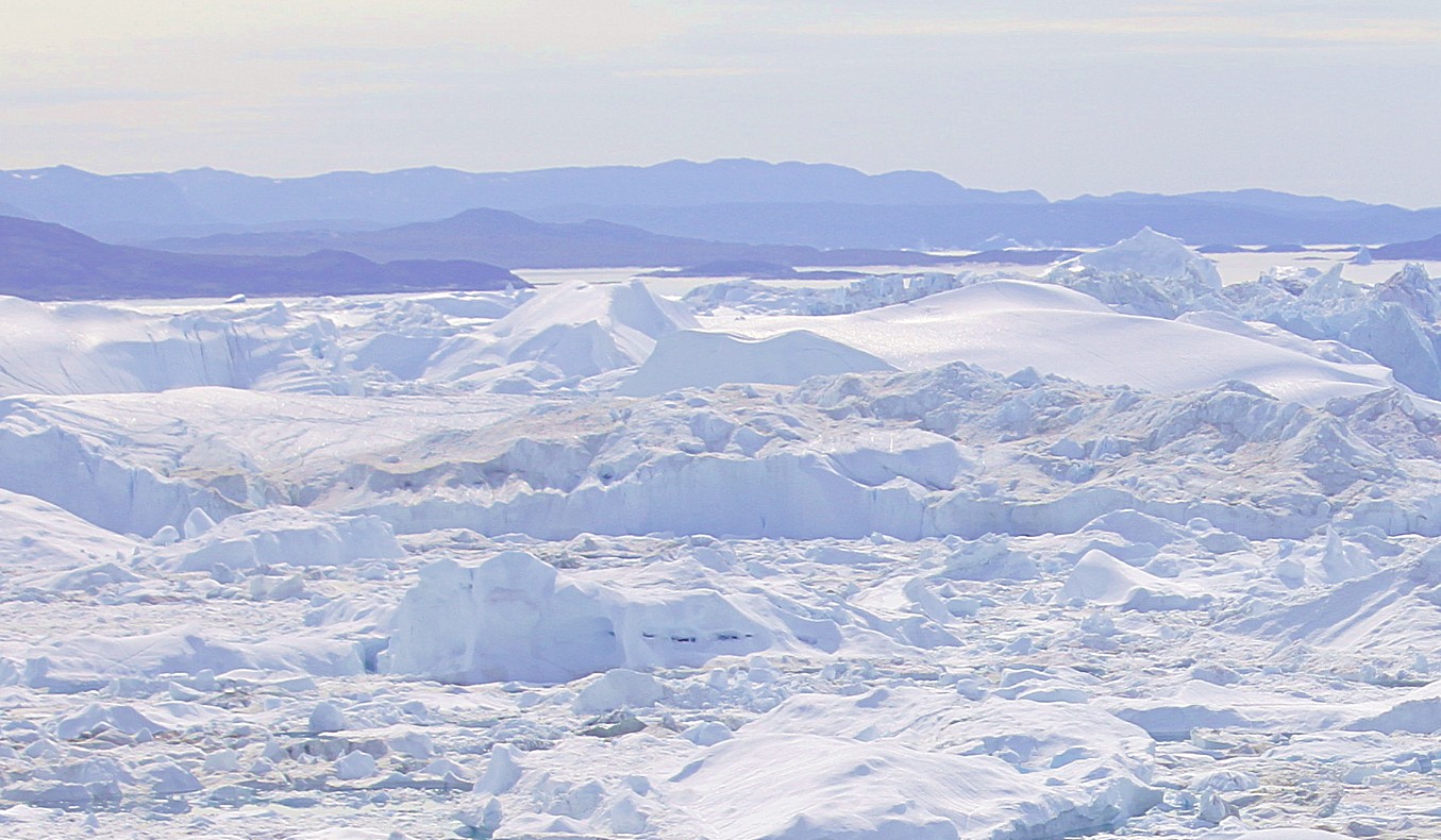
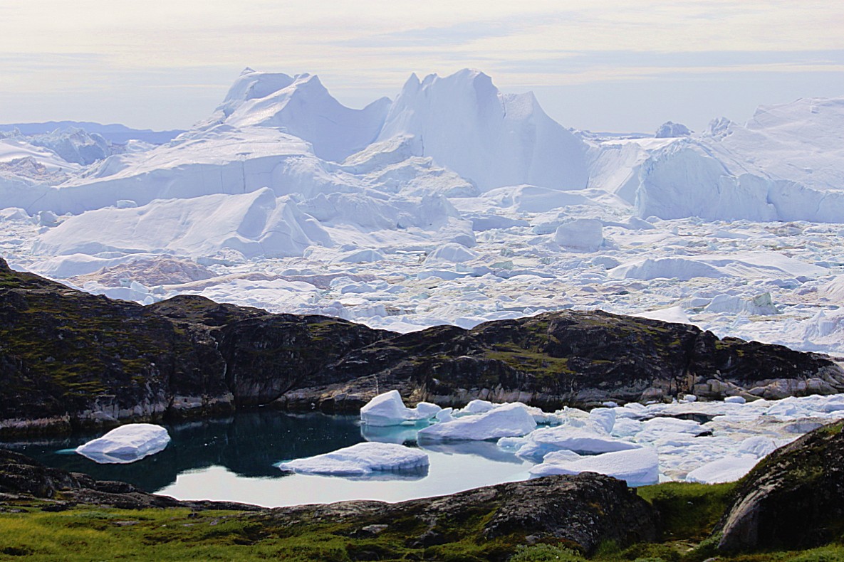
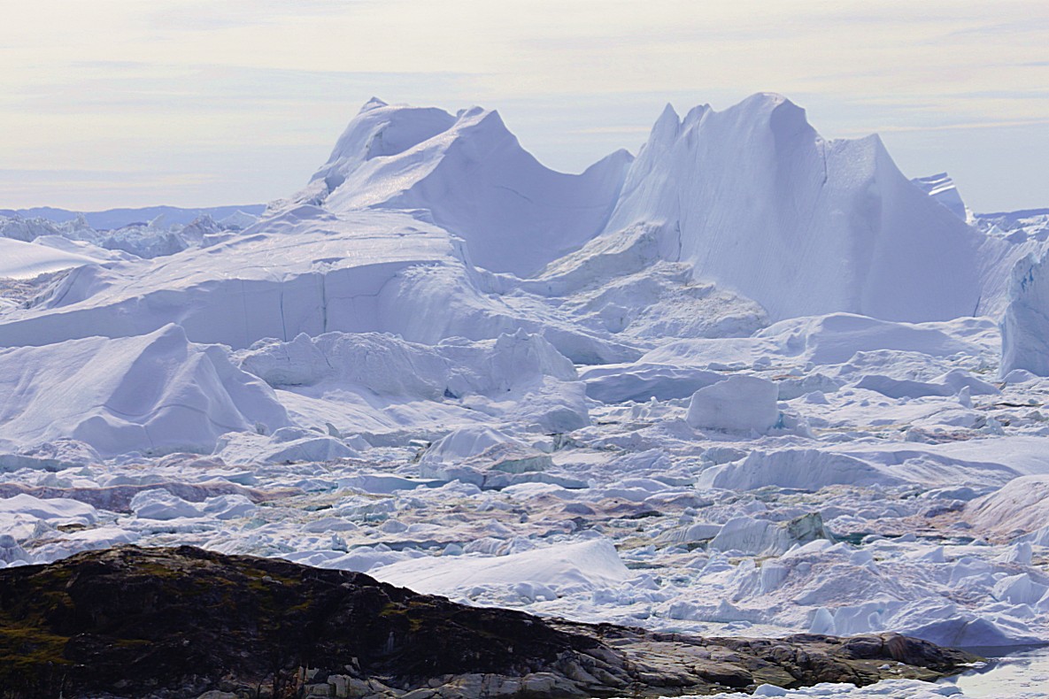
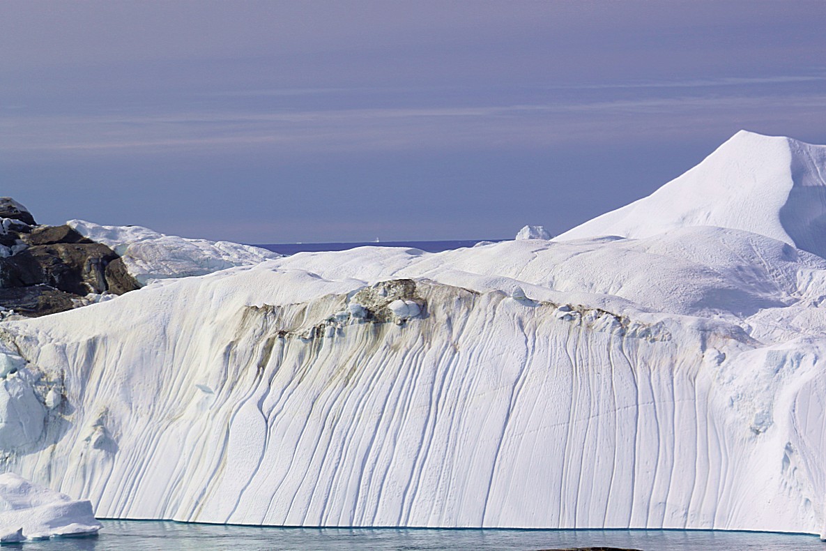
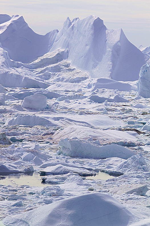
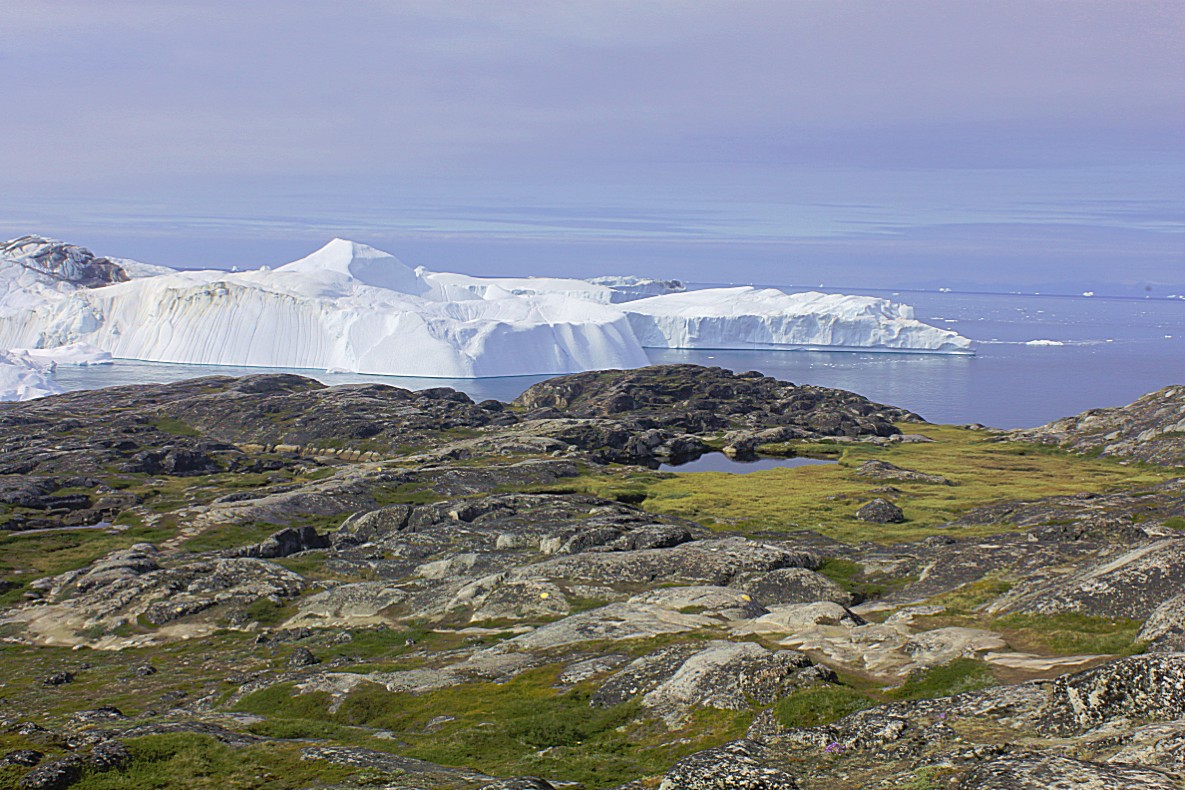
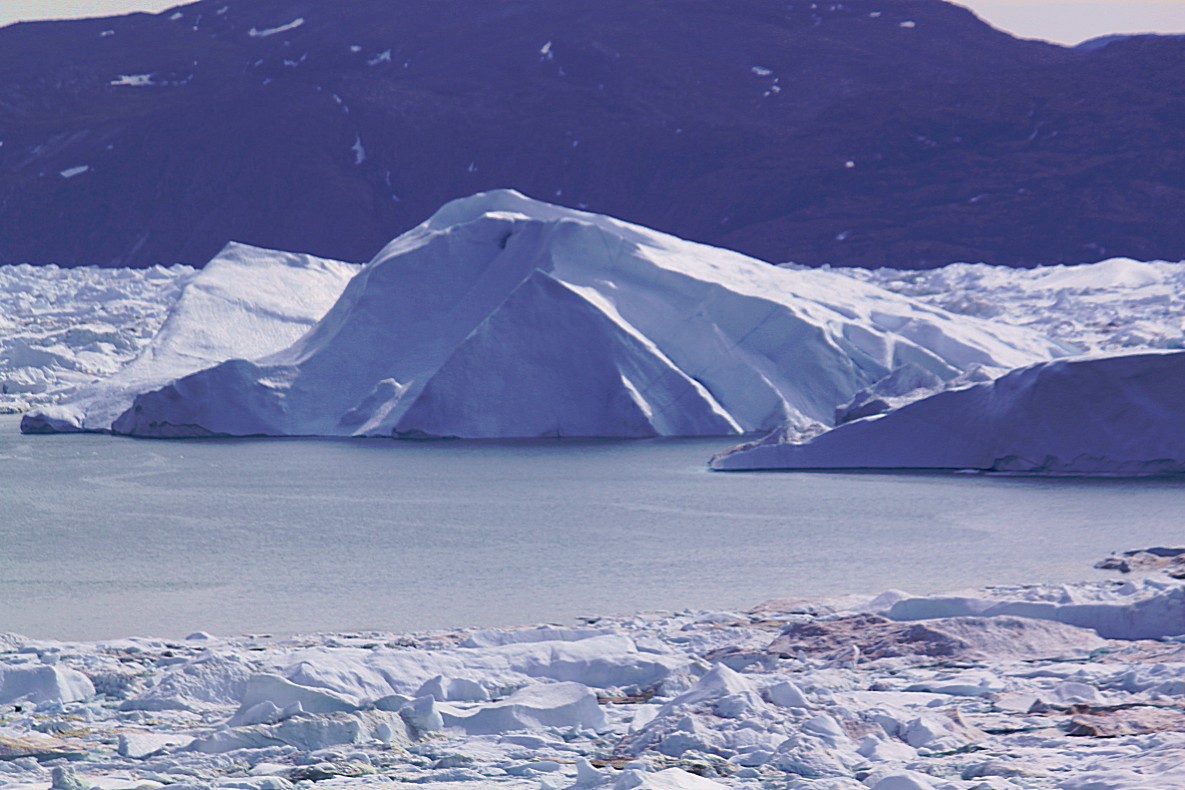
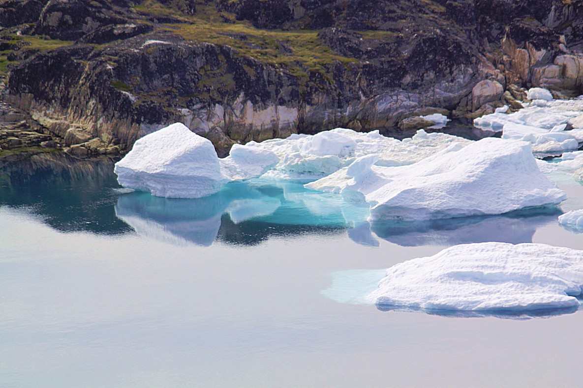
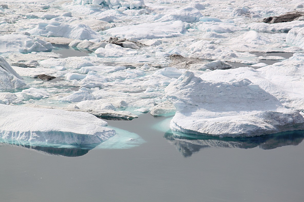
Tons of icebergs are passing through this fjord and the result of that is this breathtaking view…
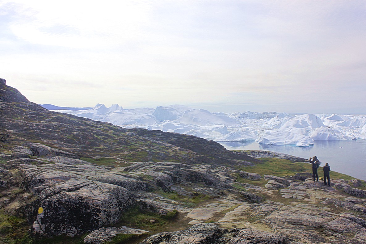
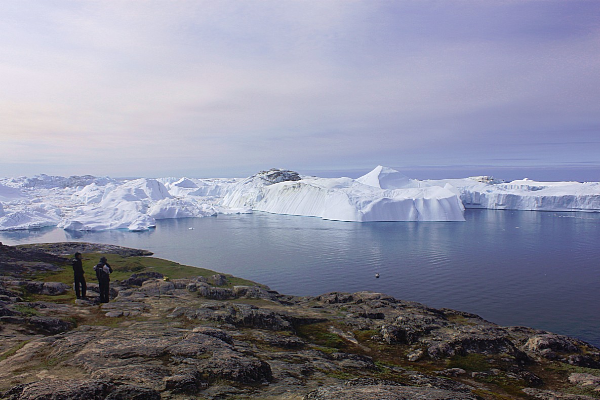
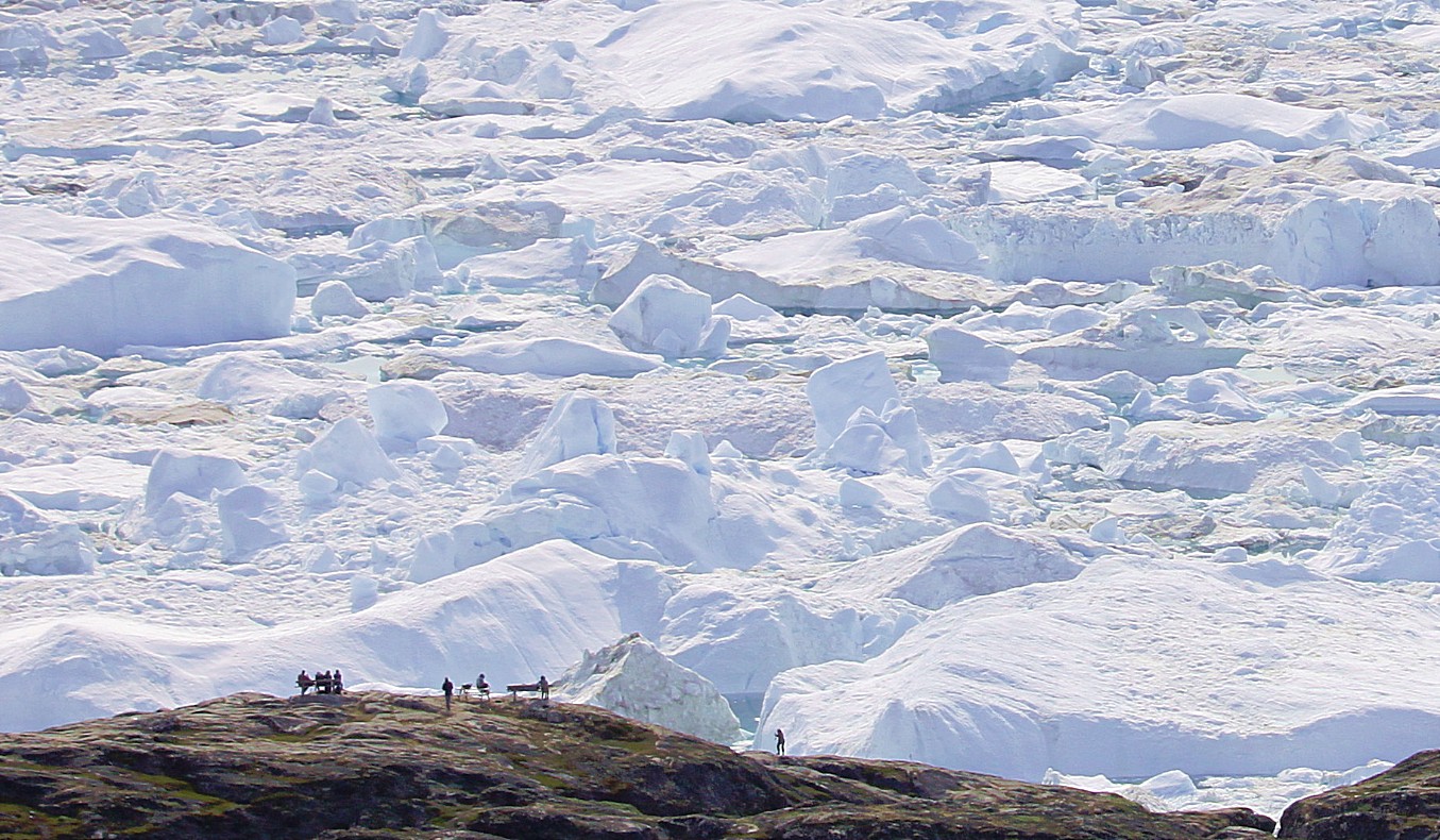
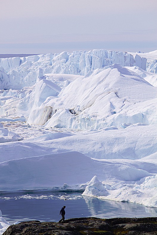
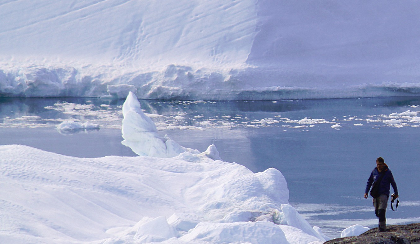
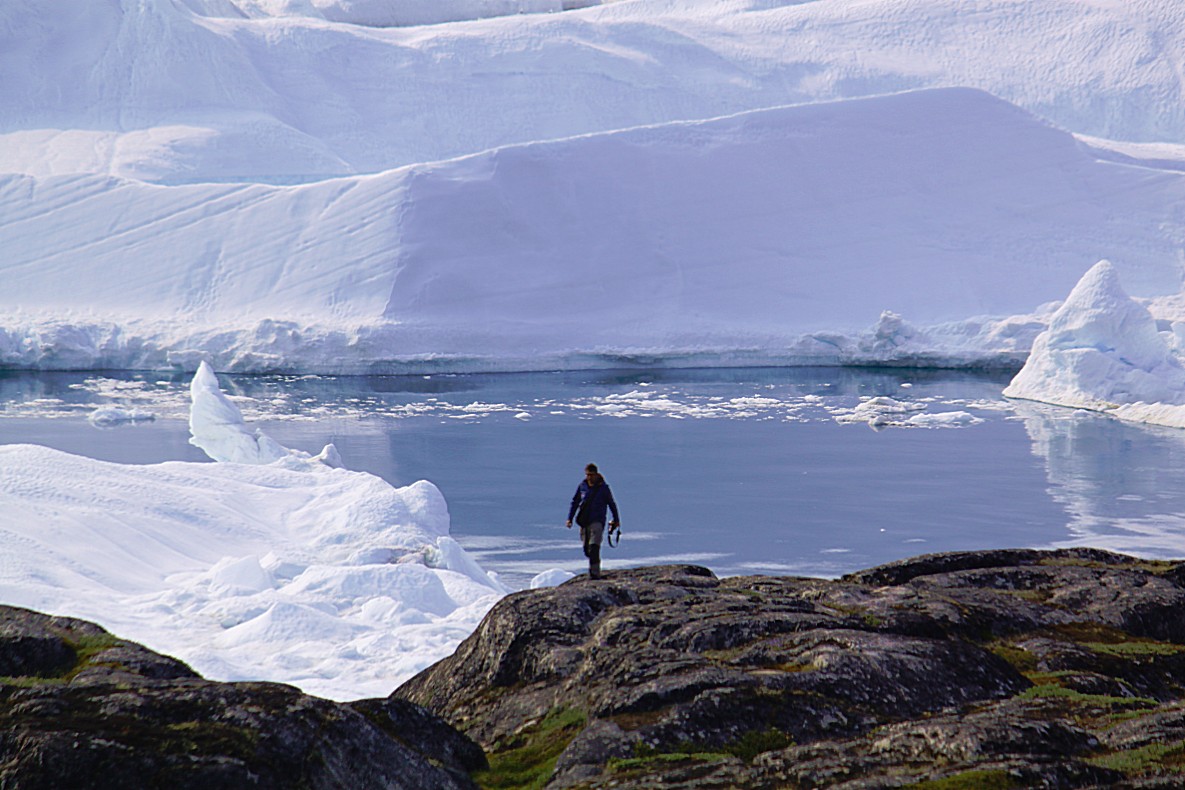
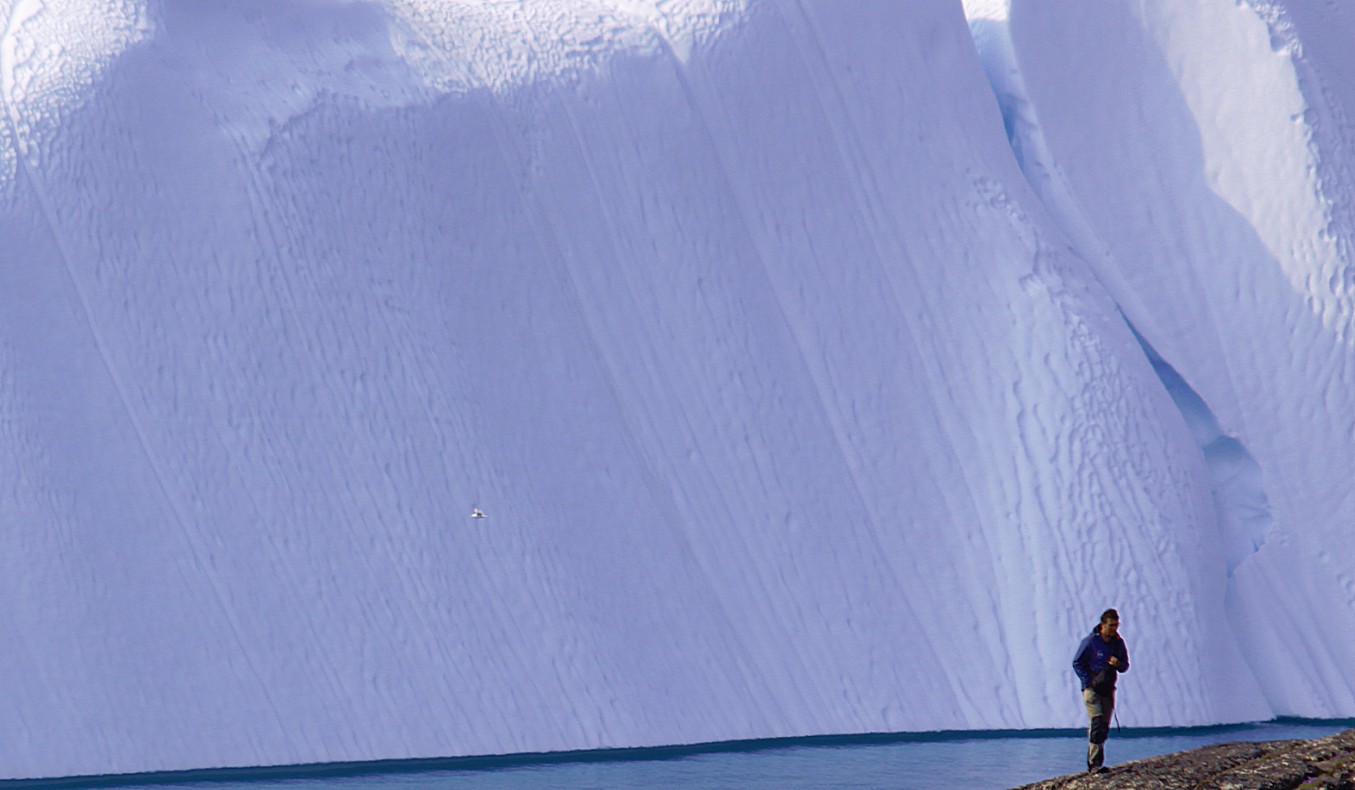
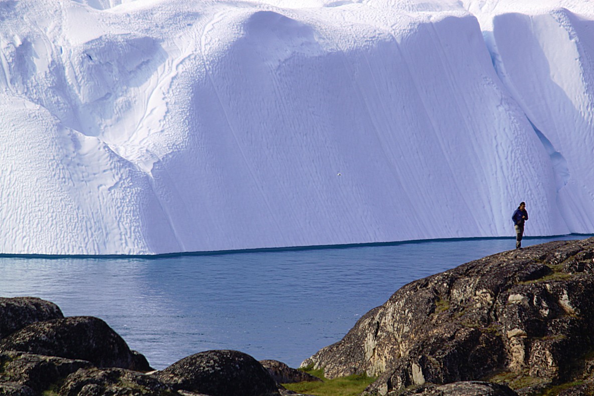
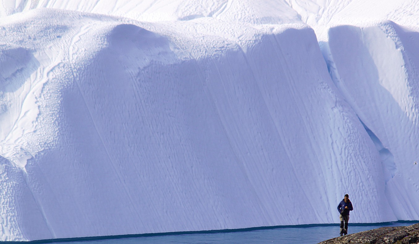
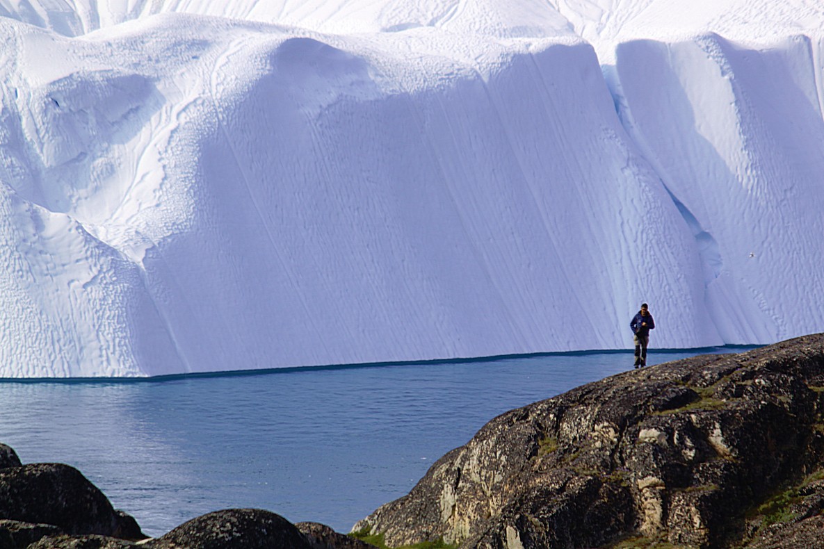
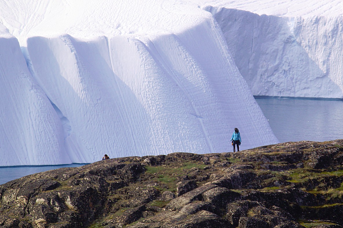
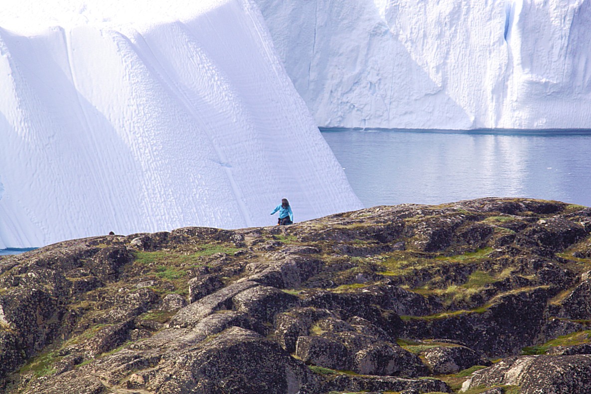
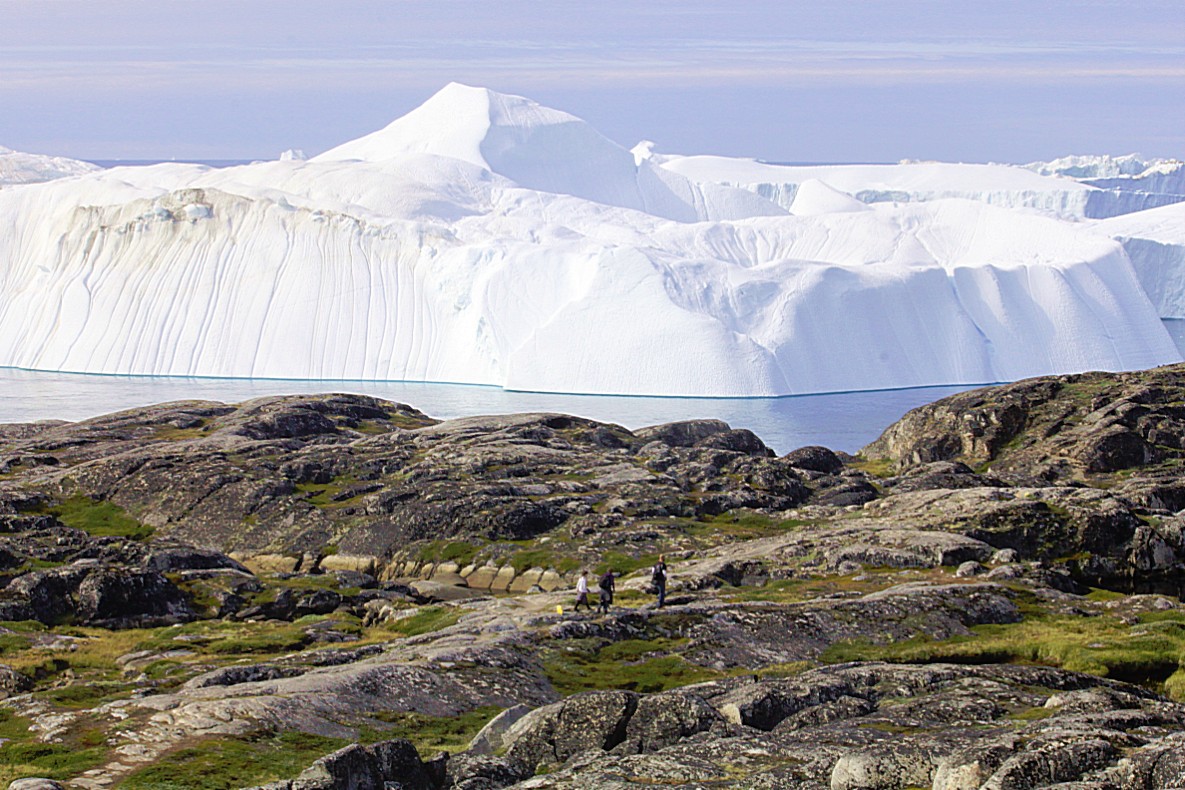
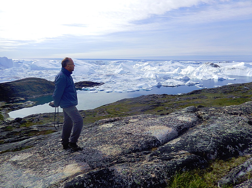
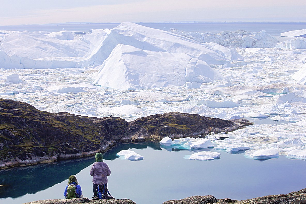
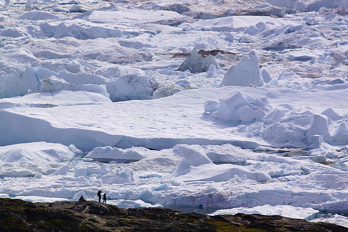
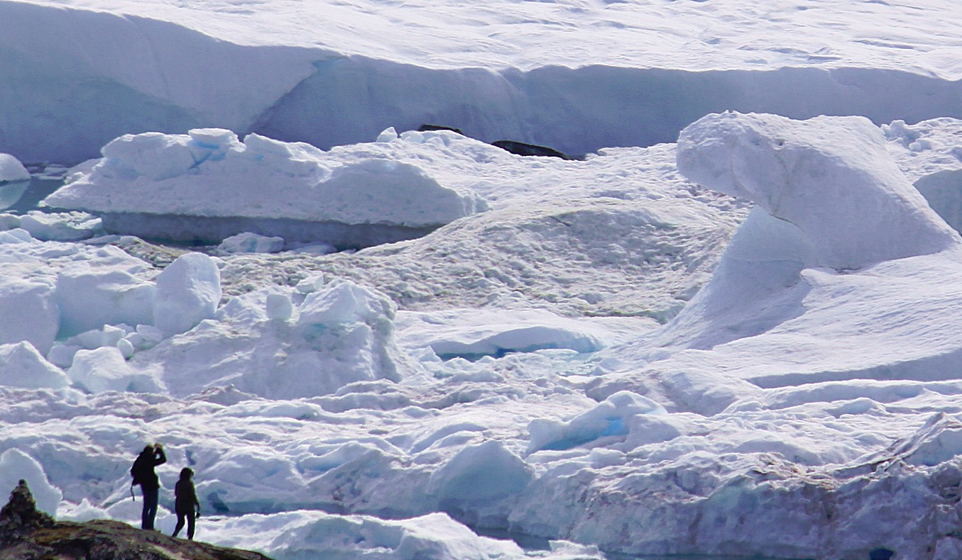
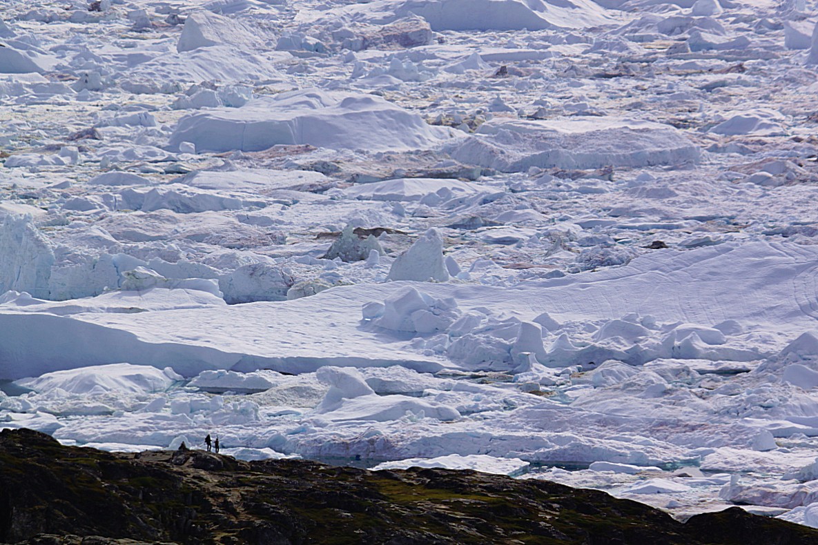
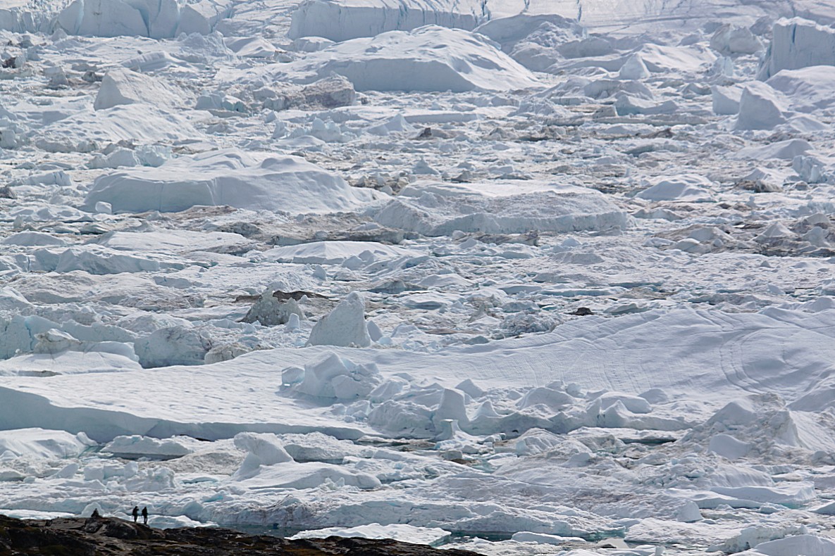
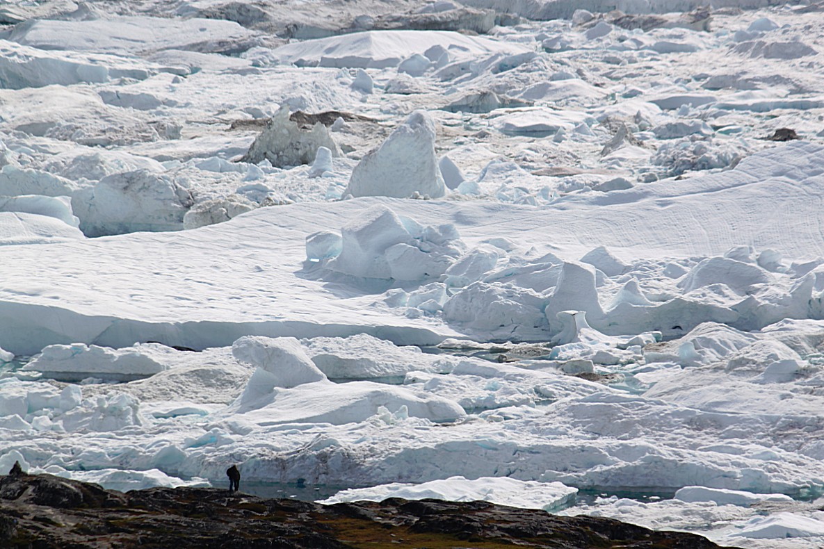
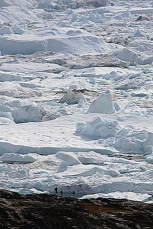
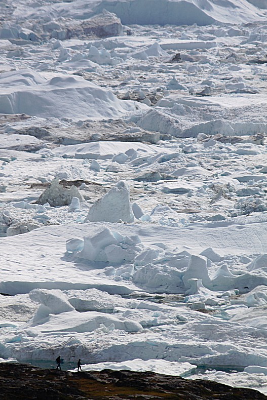
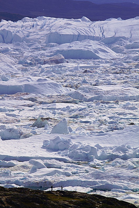
People are dwarfed by nature 🙂
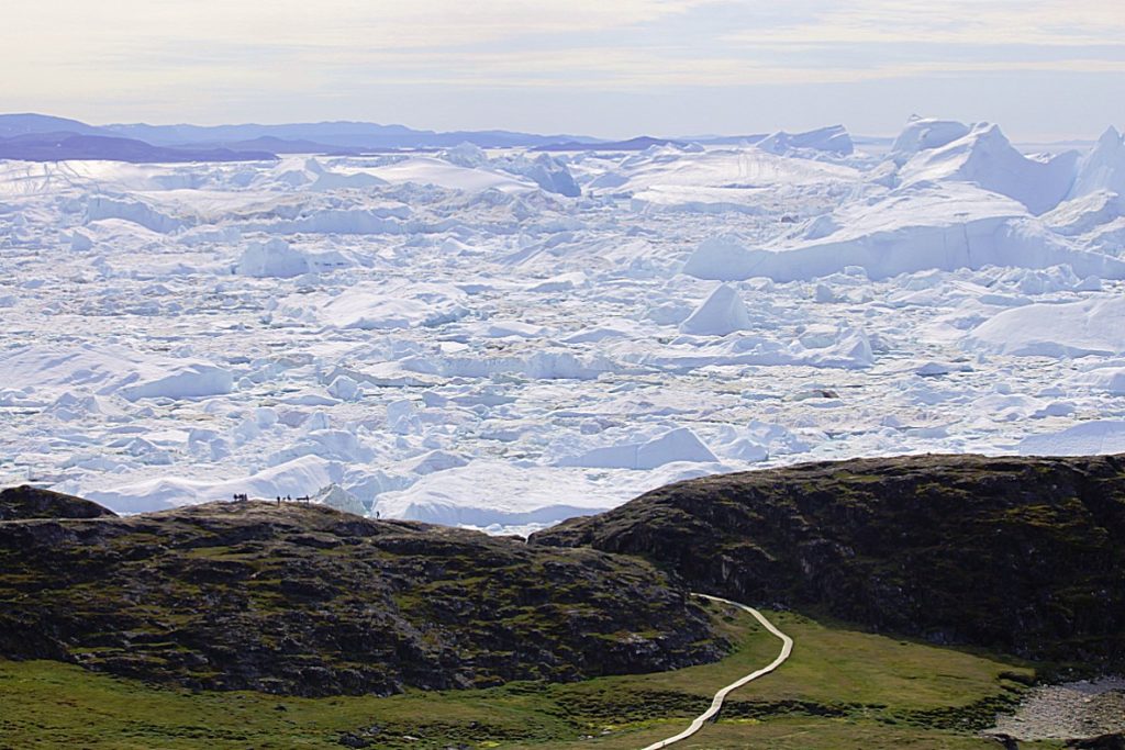
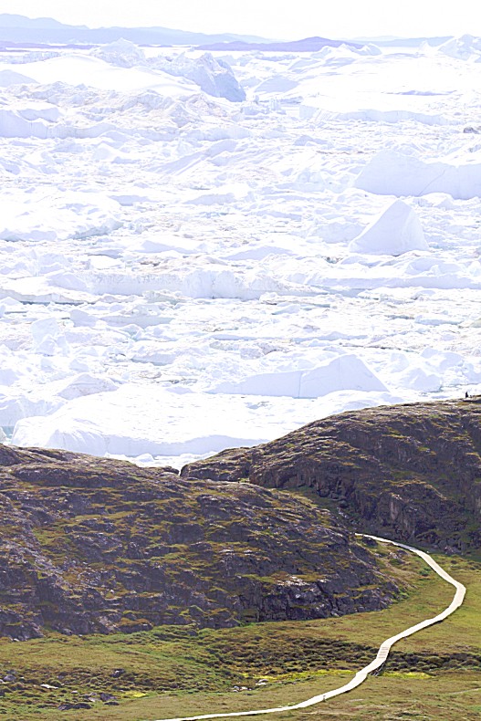
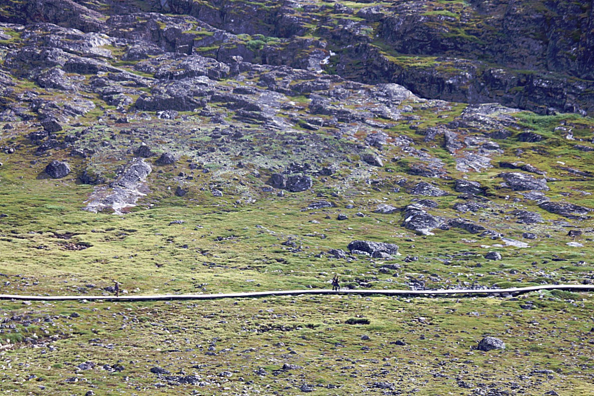
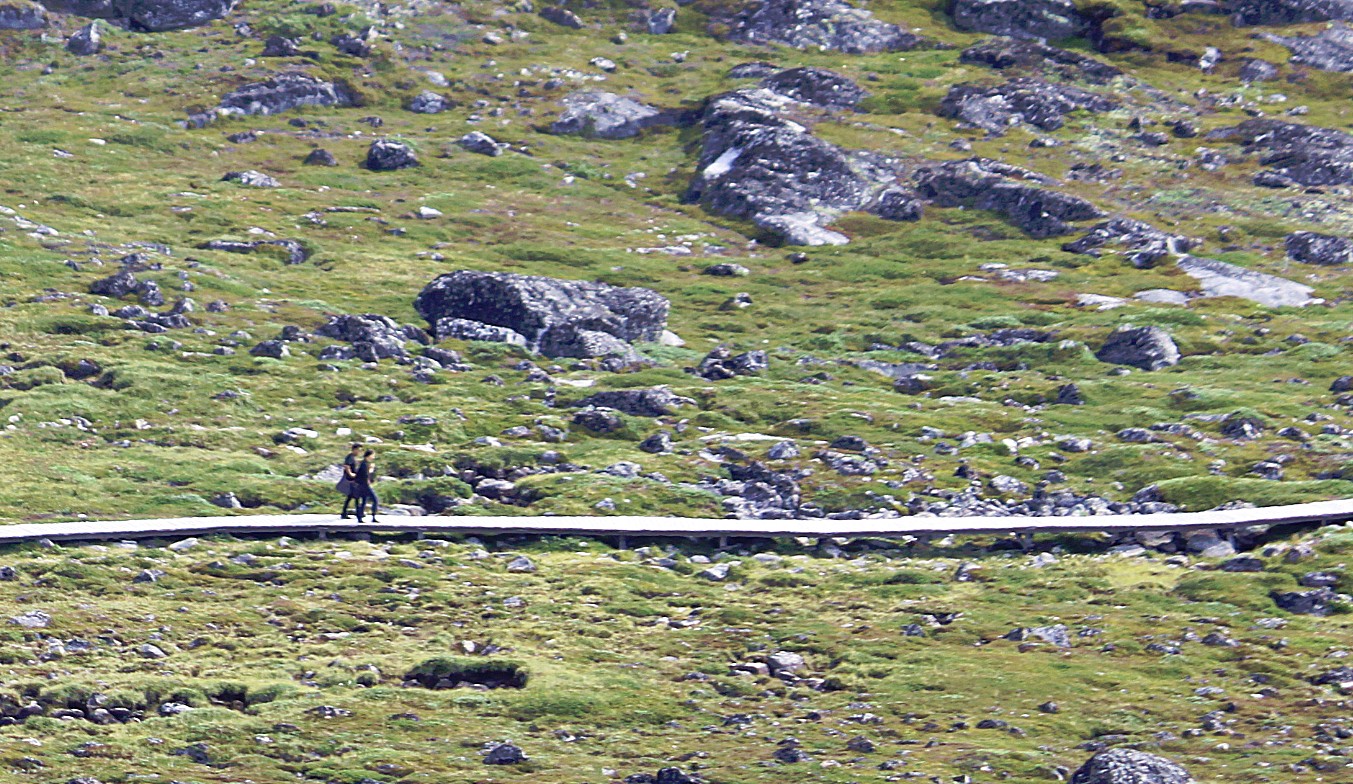
Far below I could see the wooden UNESCO World Heritage Trail, winding towards the fjord…
Small and huge icebergs drifting in Disco Bay and far away the over 1000 metres high volcanic mountains of Disko Island…
This is a cold and unforgiving world for humans…
…although… it only seems that way. This icy, hostile world is not that hostile for lots of animals and because of that, humans can survive here too, because they can fish or hunt these animals and use their meat for food, and bones and skins as building materials and the oil (of whales and seals) as fuel for lamps…
This is why at Sermemiut at the end of the World Heritage Trail, a large community of ancient Inuit huts was found…
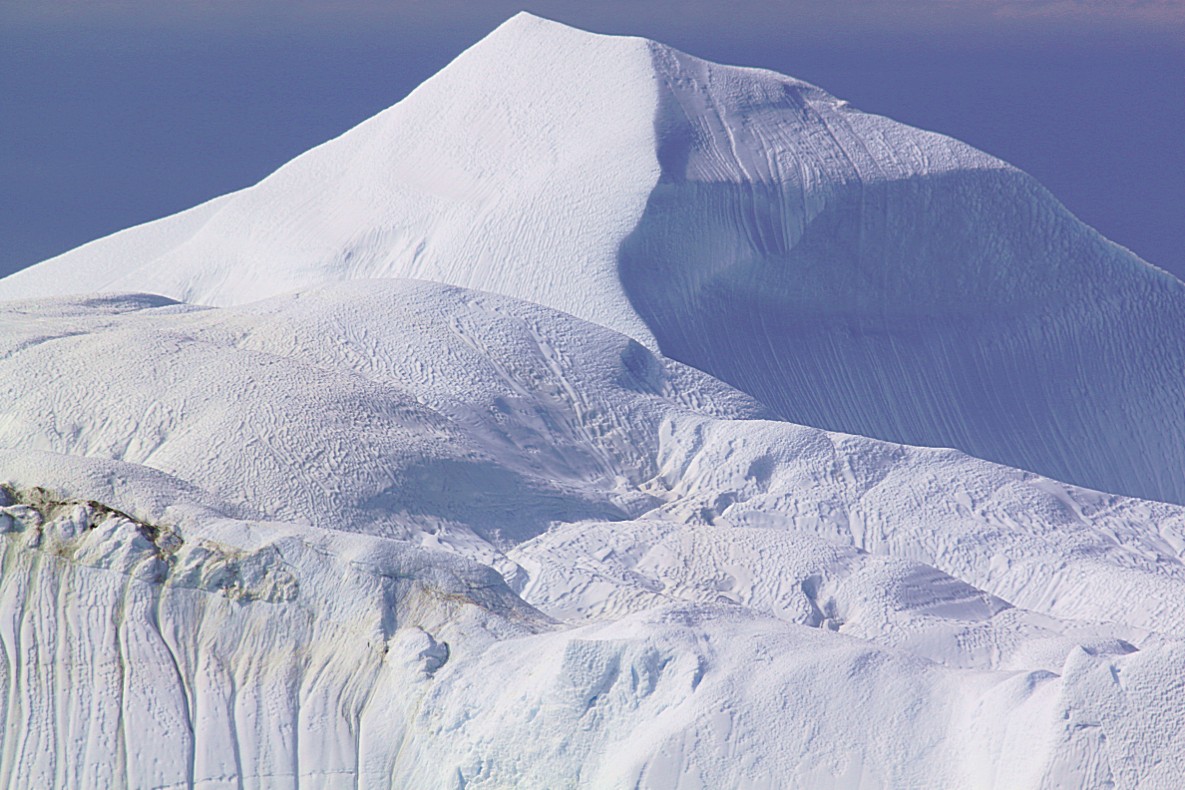
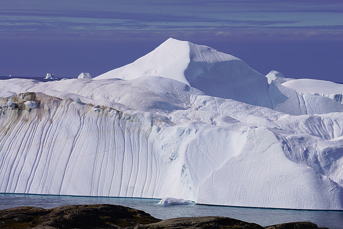
The biggest of these icebergs can reach a size of 100 metres broad, 100 metres long and 100 or even more metres high, but remember that this is only the 10 to 15% of the iceberg that’s above water level. 85 to 90% is under water…
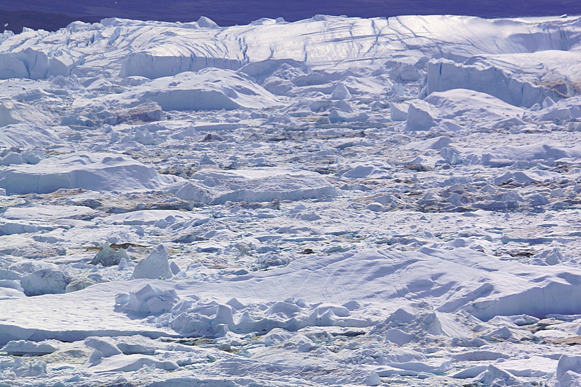
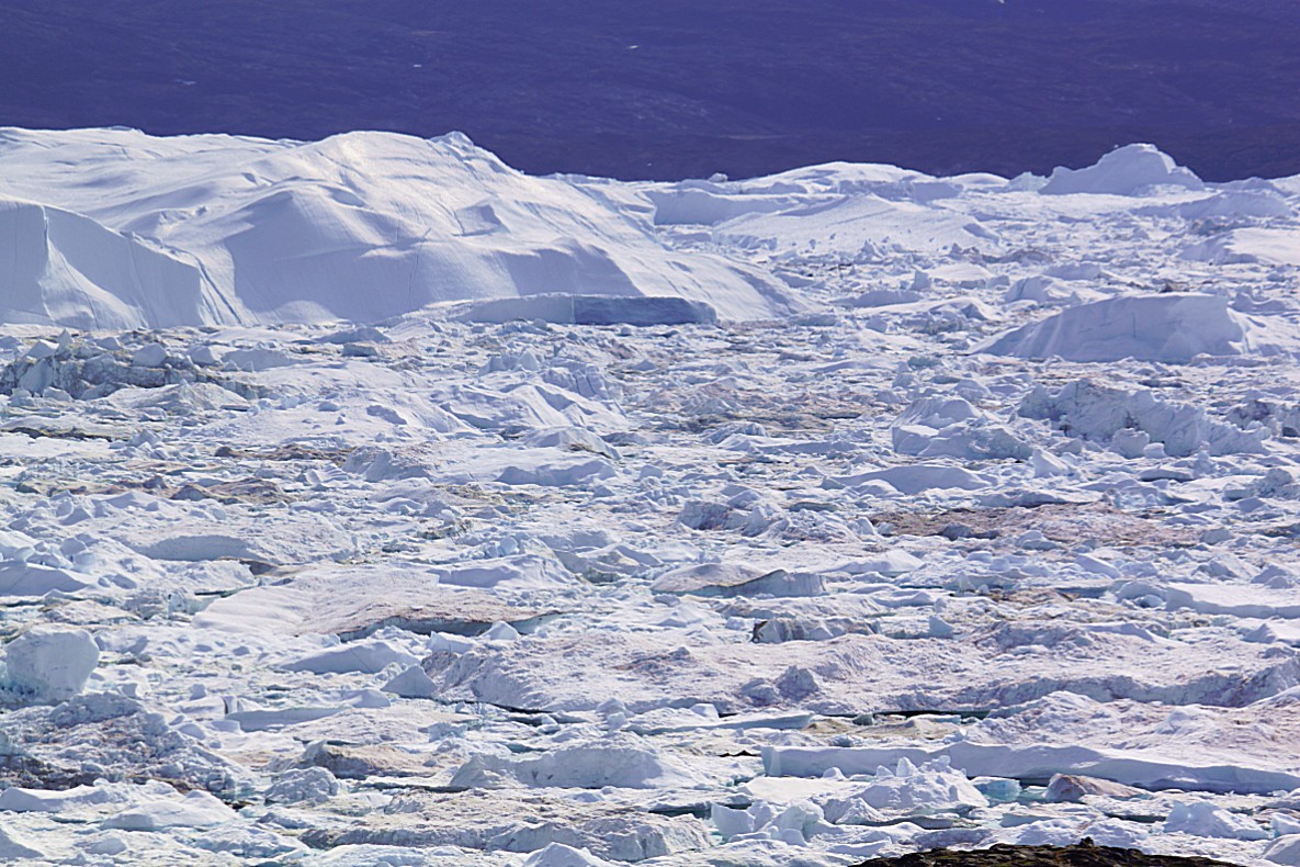
This landscape looks peaceful, quiet and motionless, but it is far from that. There is a constant noise of cracking, calving, exploding and crashing of ice and if you’d make a time lapse movie of a specific spot in the fjord, it would show you a world adrift…
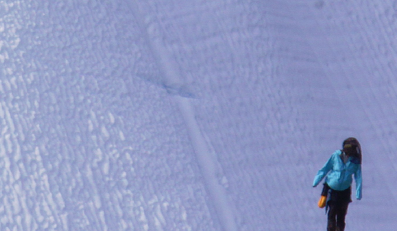
These pics show perfectly how huge these icebergs are compared to us small humans, creeping like tiny ants around the edges of the fjord…
Fishermen do hike on this ice in winter and the use certain fishing techniques to catch fish. I’ll get more in to detail about that later…
Even those cracks in the icebergs dwarf us humans 🙂
A mosquito net is an indispensable aid while walking these premises…
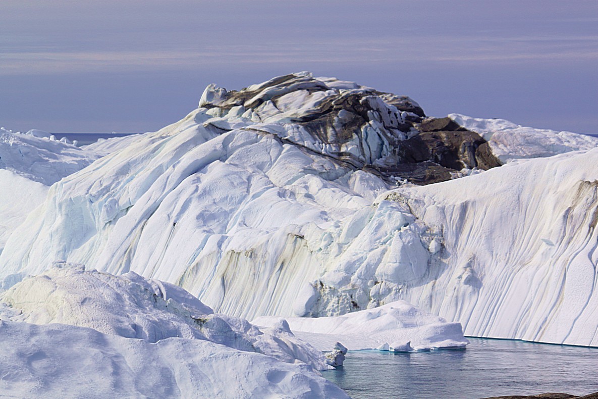
Icebergs are former parts of the glacier and the inland ice and as such some parts of the ice have been in contact with rocks at the bottom or edges of the glacier. Those rocks can still be seen in the ice…
I simply love this world…
Sometimes I passed other hikers and it’s beautiful to see from afar, how they move through this rugged landscape…
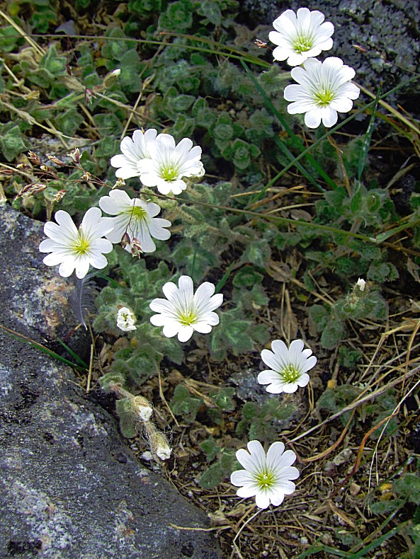
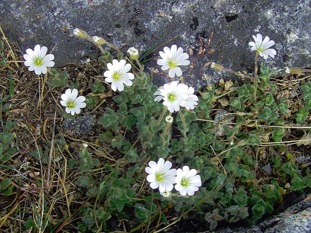
The Alpine Mouse-ear blooms in July and gets 10 to 20 centimetres in length…
Mosquitoes are a plague in this wet and icy world…
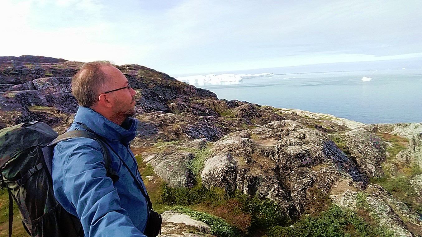
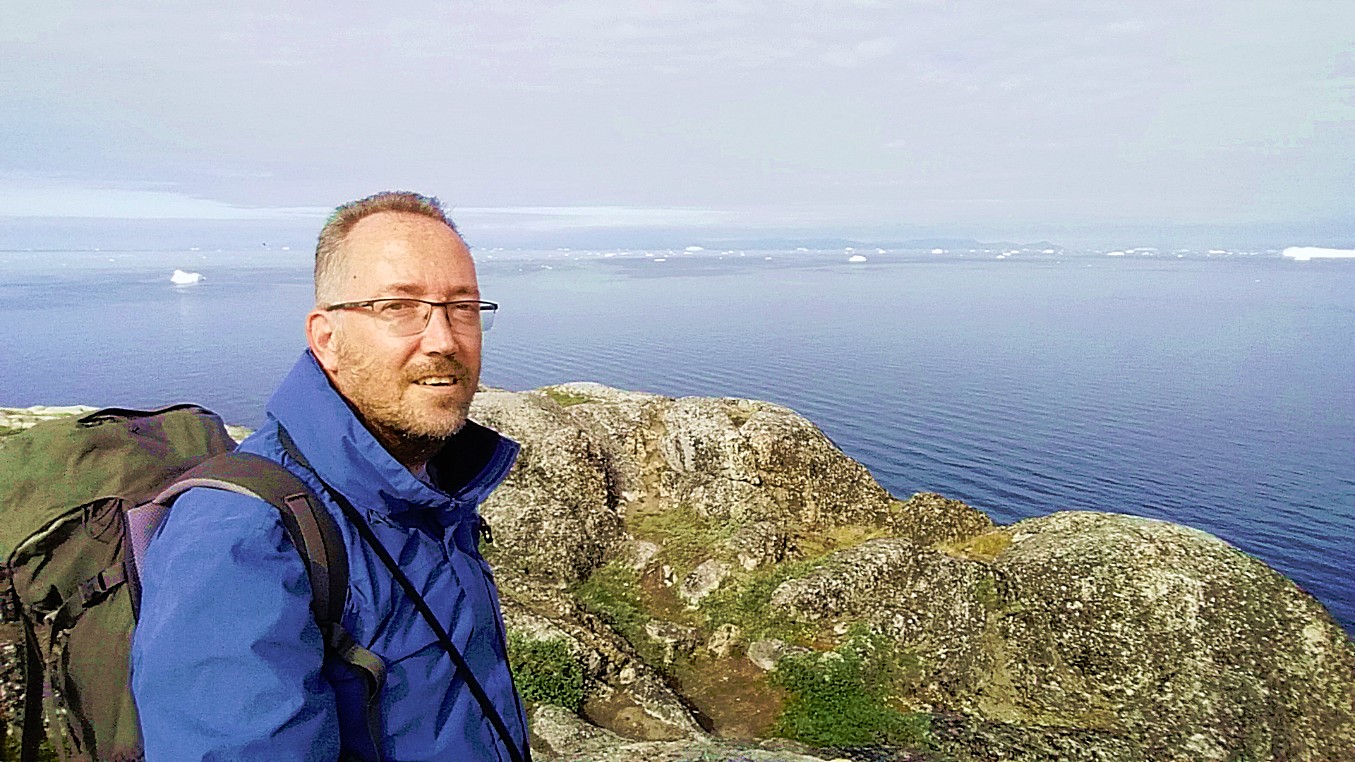
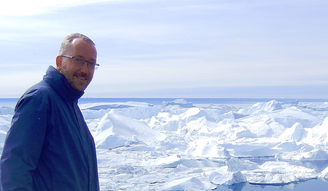
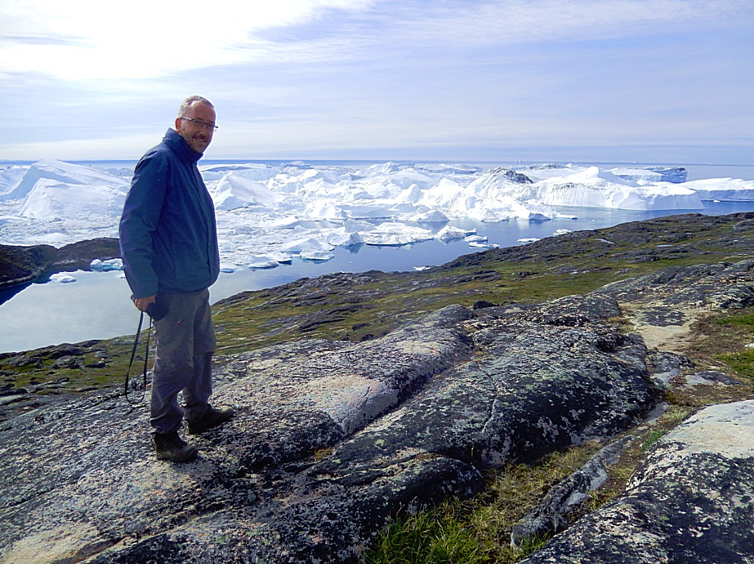
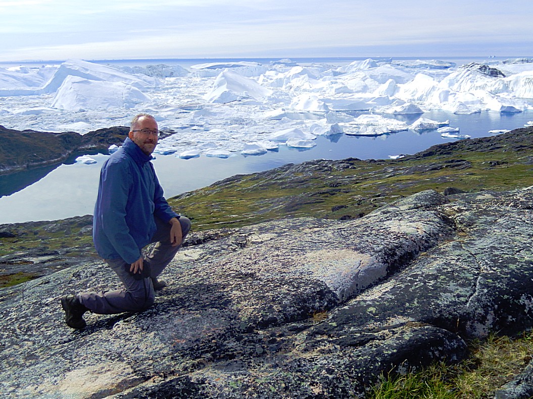
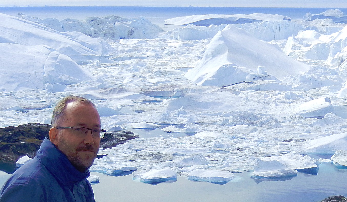
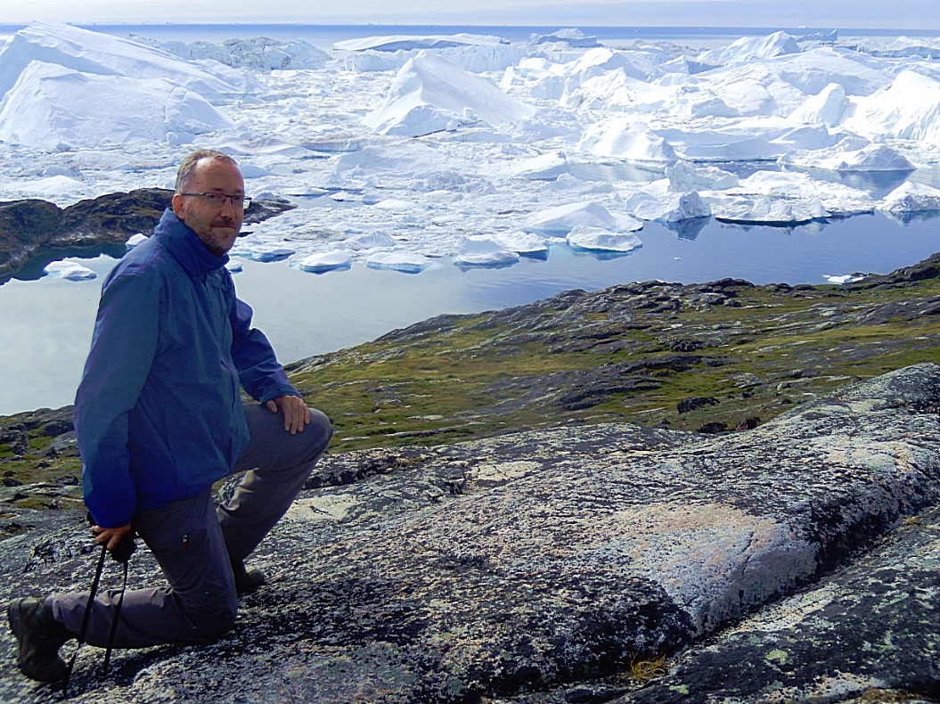
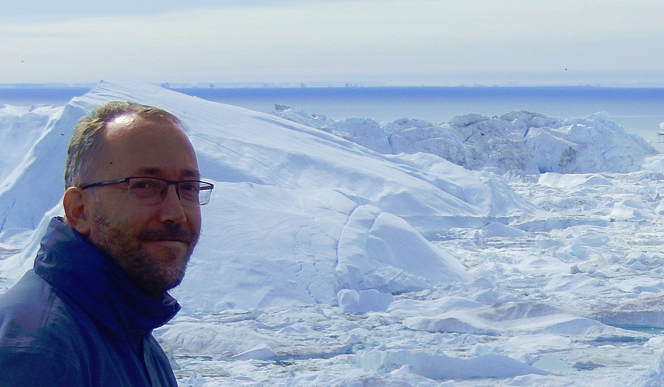
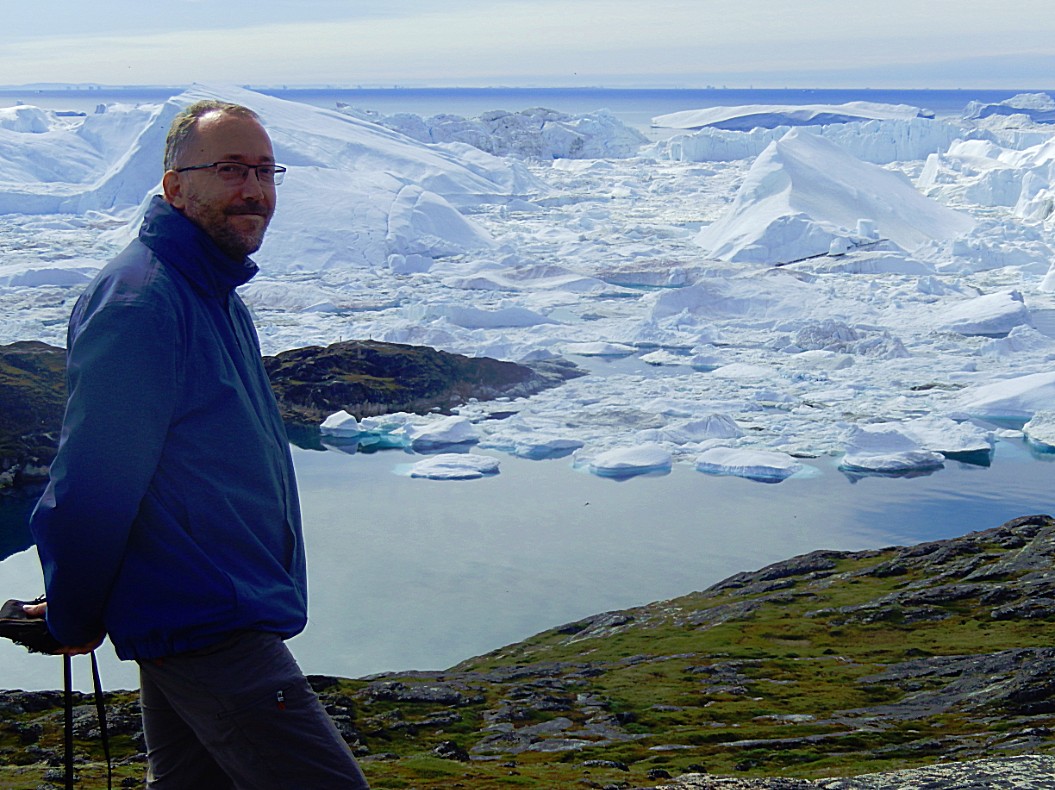
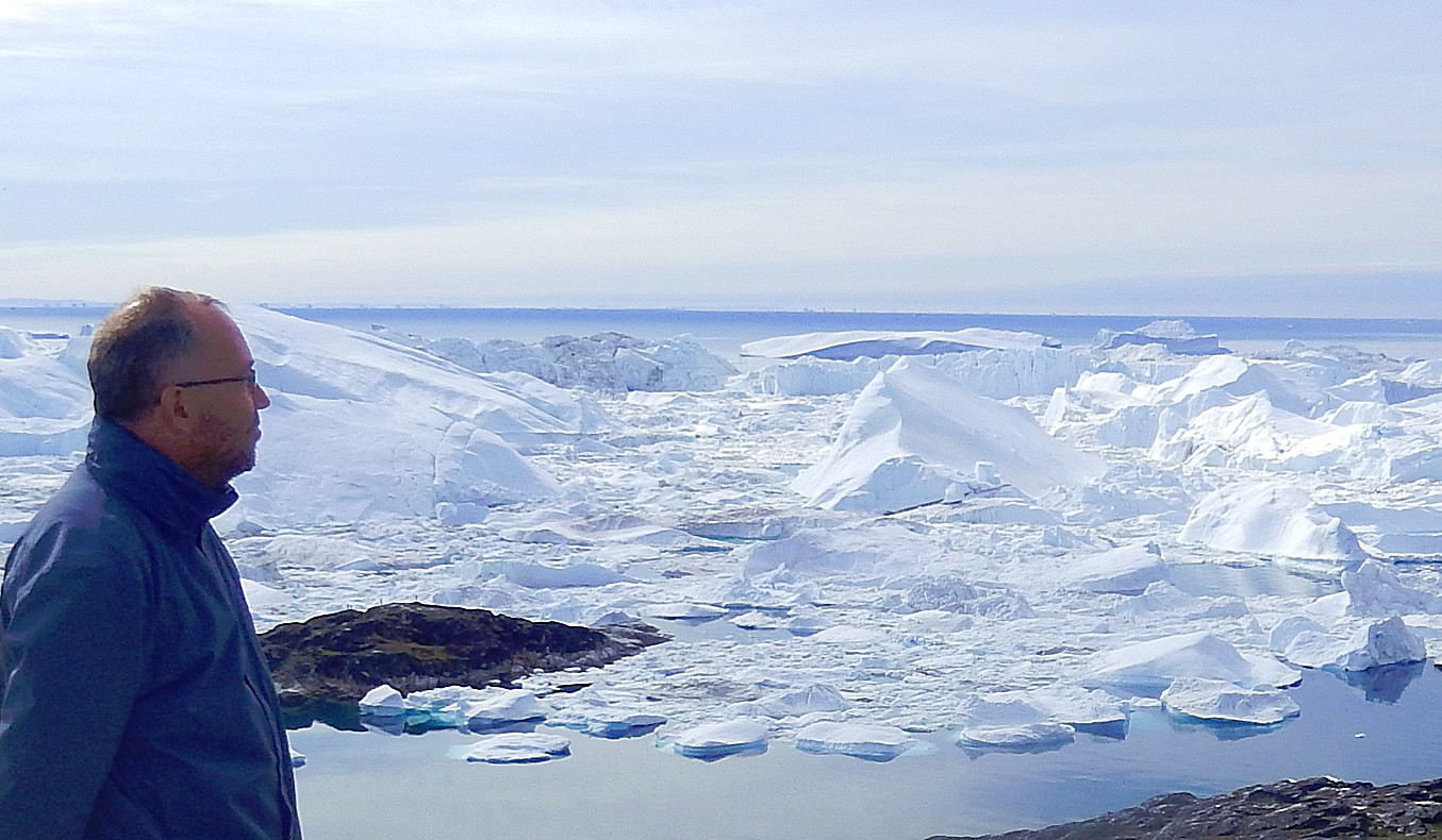
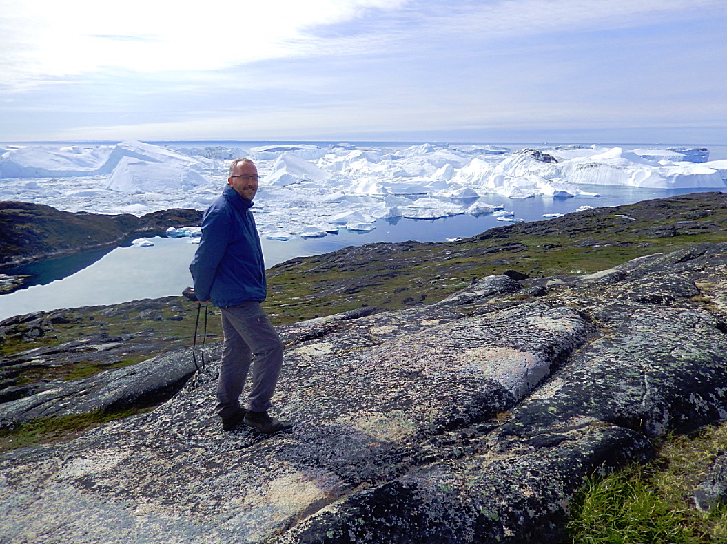
Of course I also needed some pics of myself (bravely not wearing a mosquito net) and this marvellous ice world…
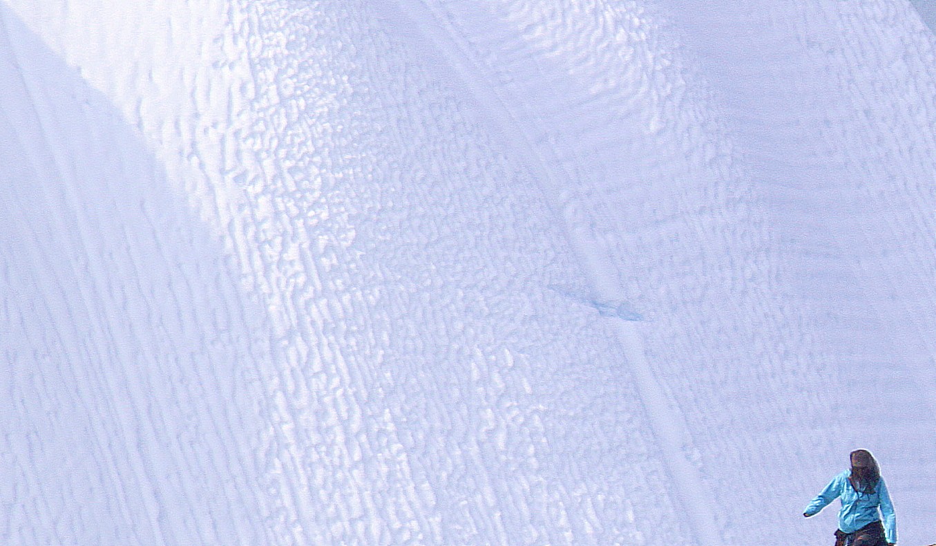
I’d love to ski down that slope 😉
Far down theWorld Heritage Trail ended at the Old women’s Cliff, from a wooden stair climbed up to a view point…
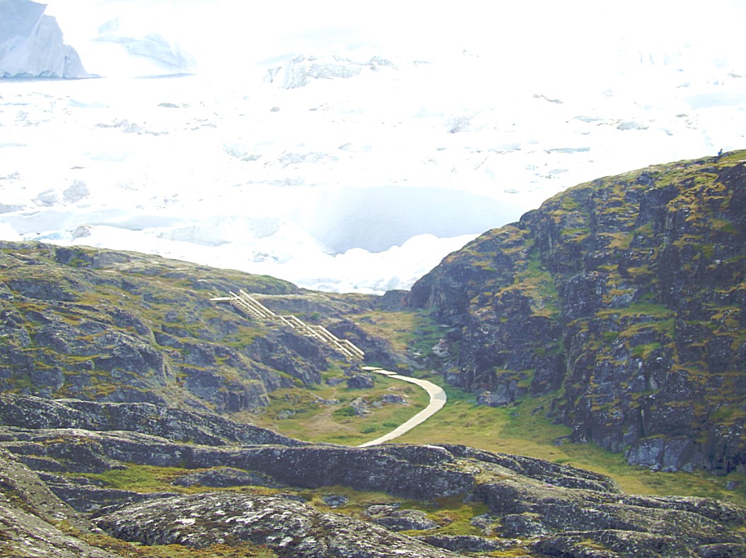 And again a view over the World Heritage Trail winding its way back to Ilulissat…
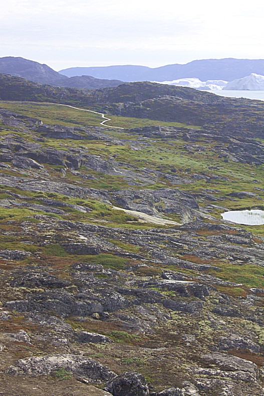
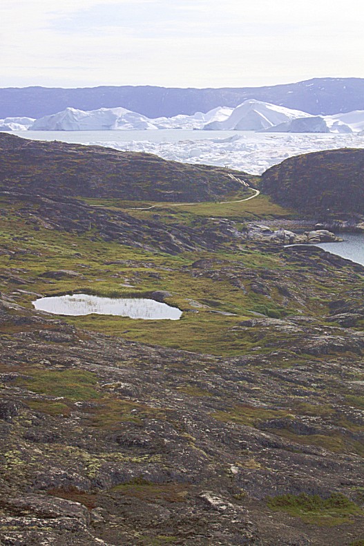
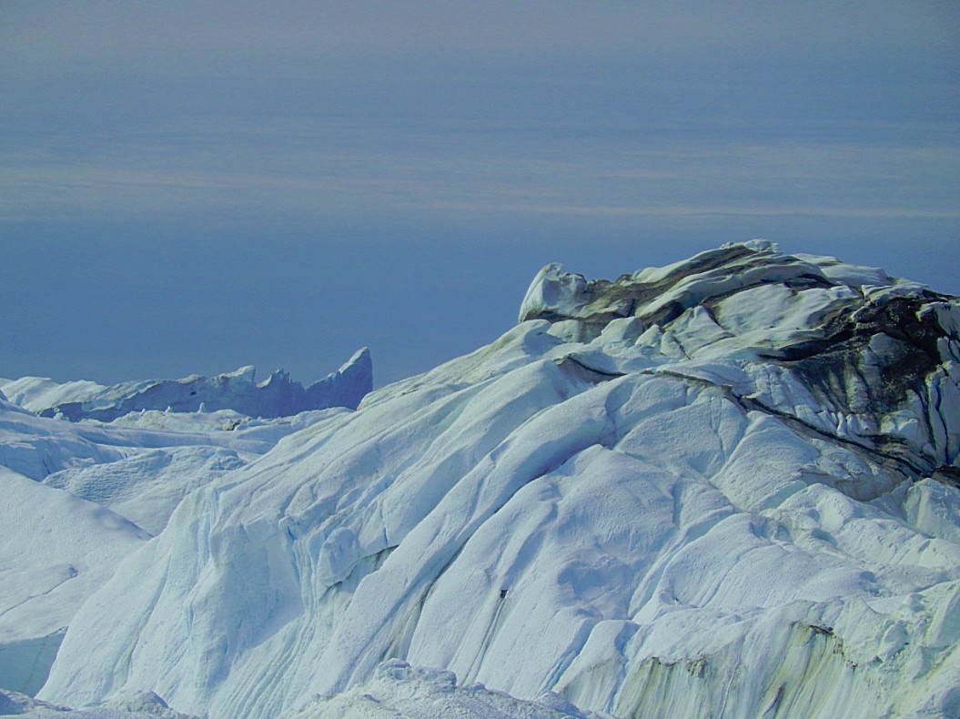
 After having spent some hours walking along the fjord, the trail now turned away north towards Ilulissat and the G.L. Heliport where the trail ends…
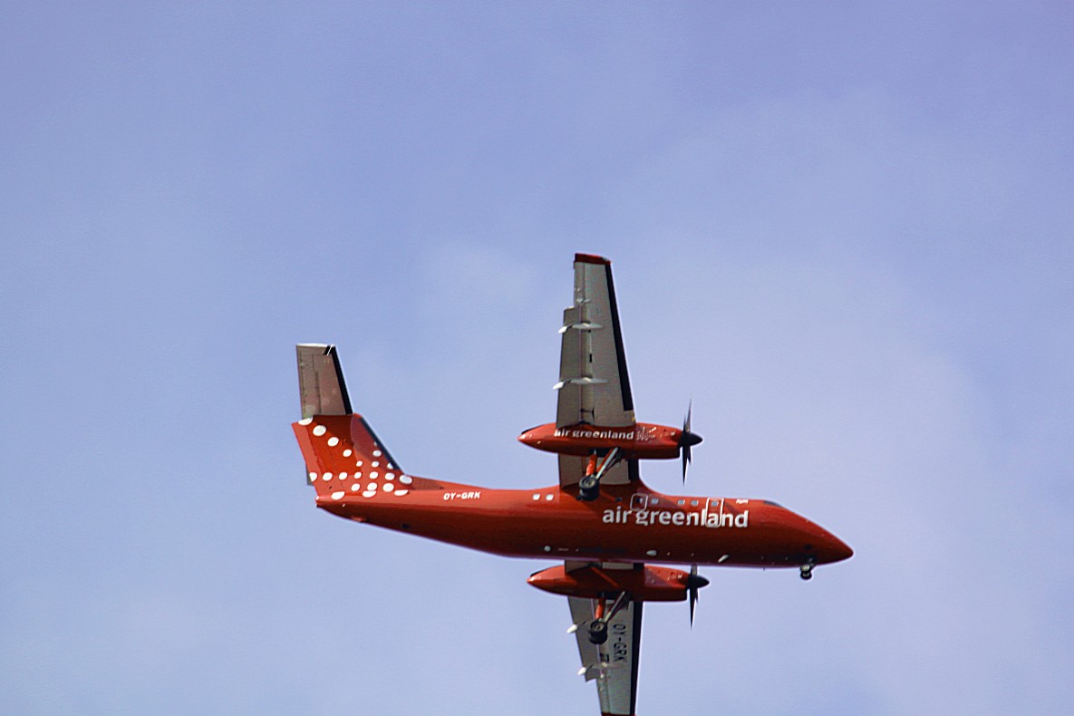
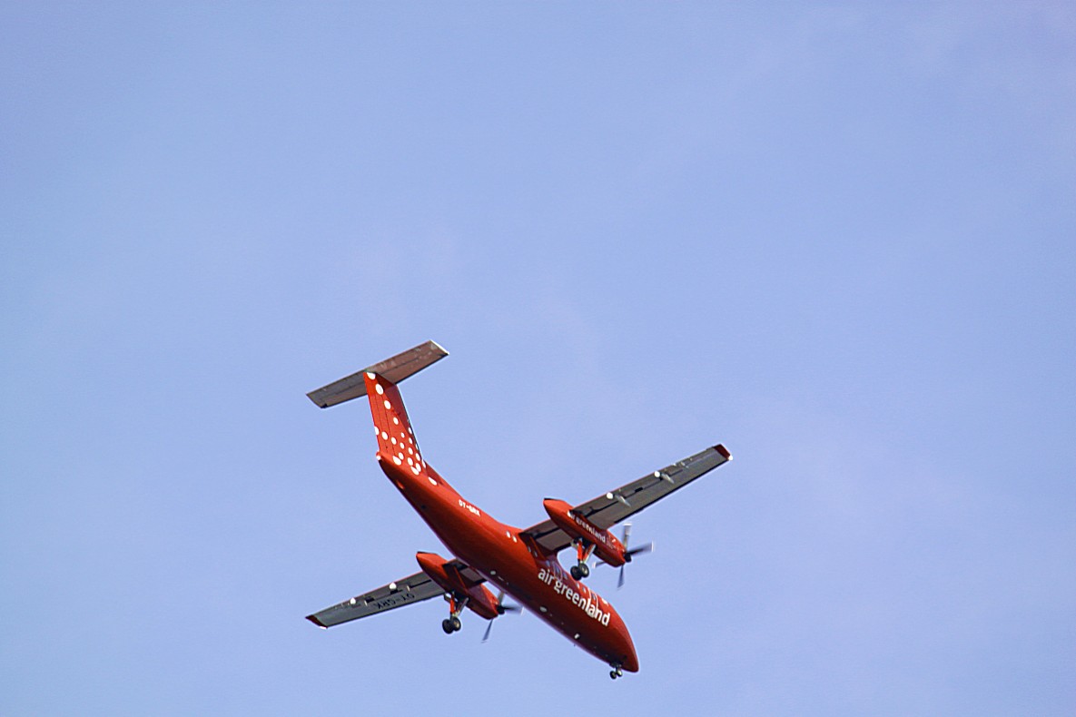
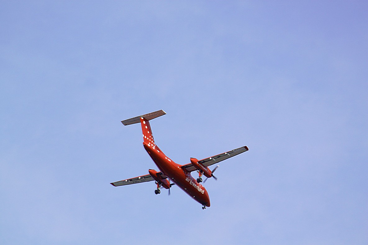
A DC Havilland propellor plane flew over the spot where I stood. It was a similar plane as the one that had brought me here to Ilulissat….
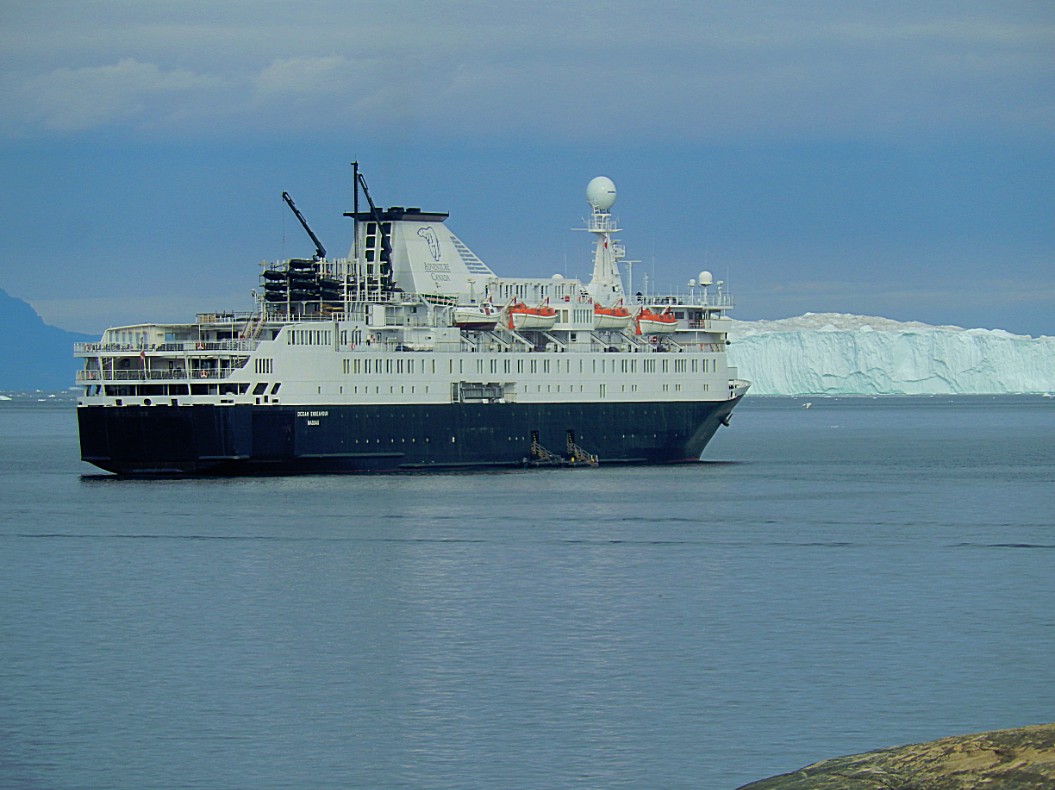
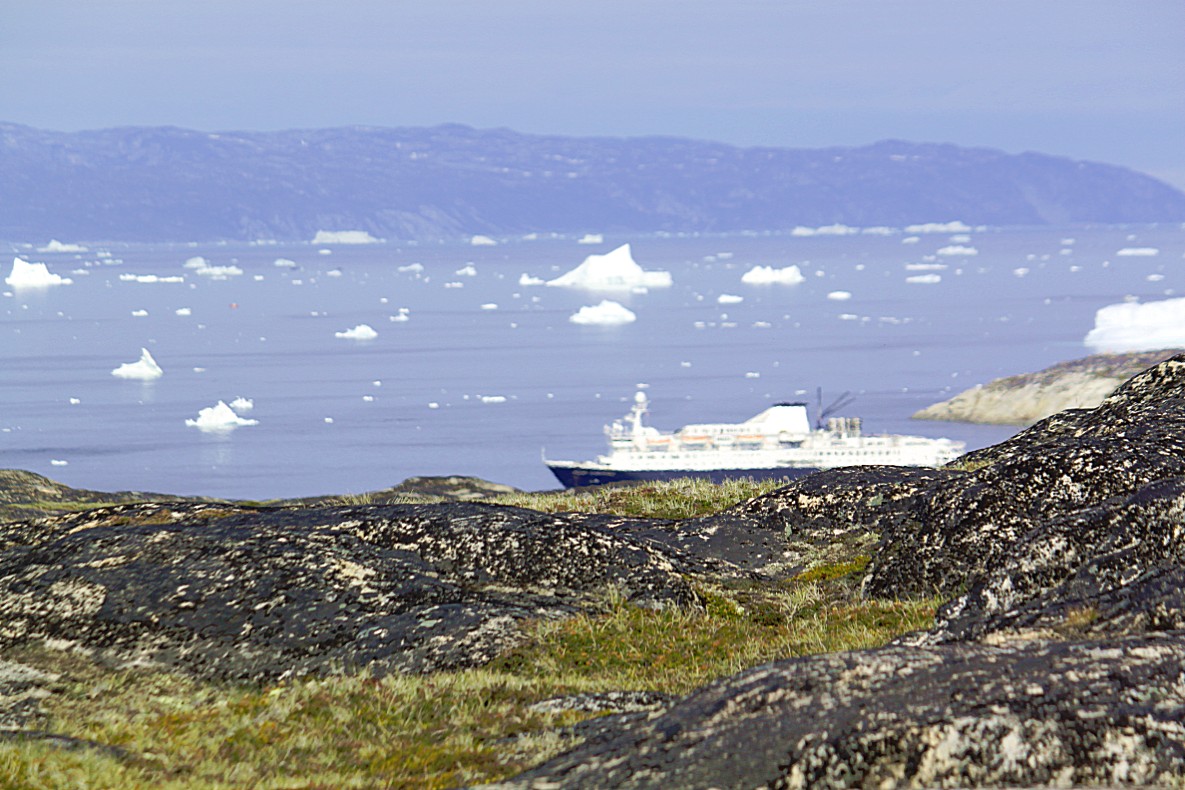
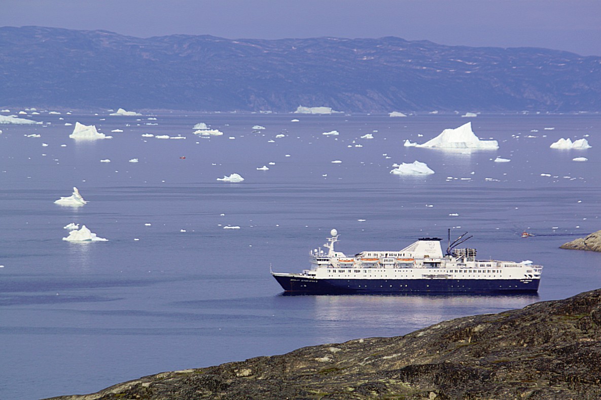
A cruiseship was leaving Ilulissat, probably to head for Disco Island of which I could see the volcanic mountains, rise from the sea…
The Wandelgek had now reached the last and most impressive viewpoint over the icefjord (6 on the elevation diagram)
Lots of the few people walking here were stopping alot to make pictures or just to sit down for a long while to soak in this magnificent spectacle…
The wooden stalk surrounded by a pile of yellow painted stones, was a UNESCO World Heritage area border pole, indicating the border of the protected area and it is also the highest point on the trail…
And then The Wandelgek walked back towards Ilulissat and the GL Heliport.
Following the yellow dots again…
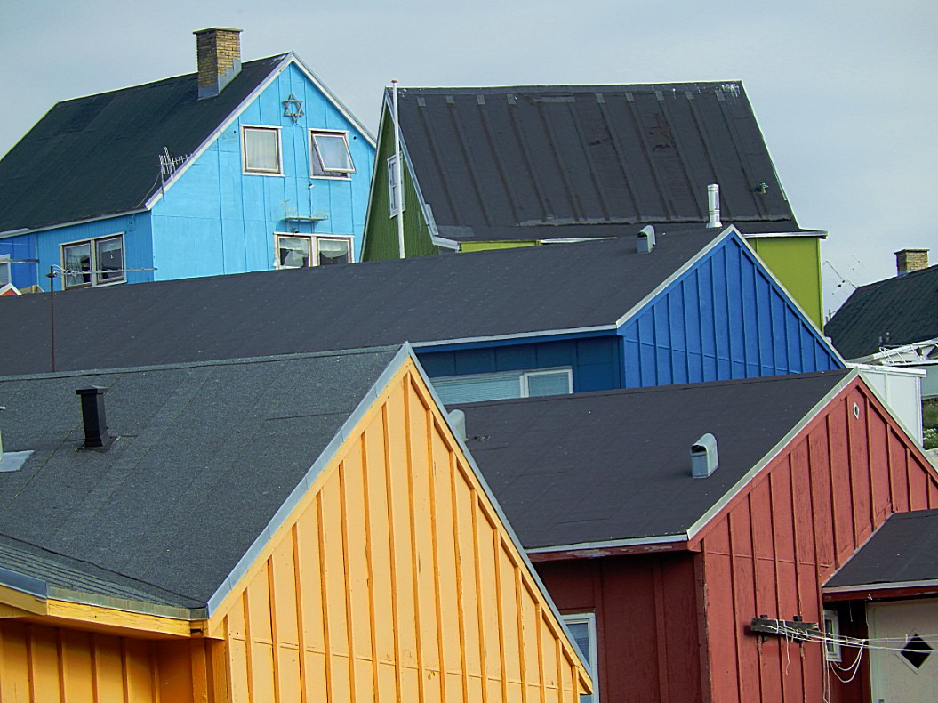
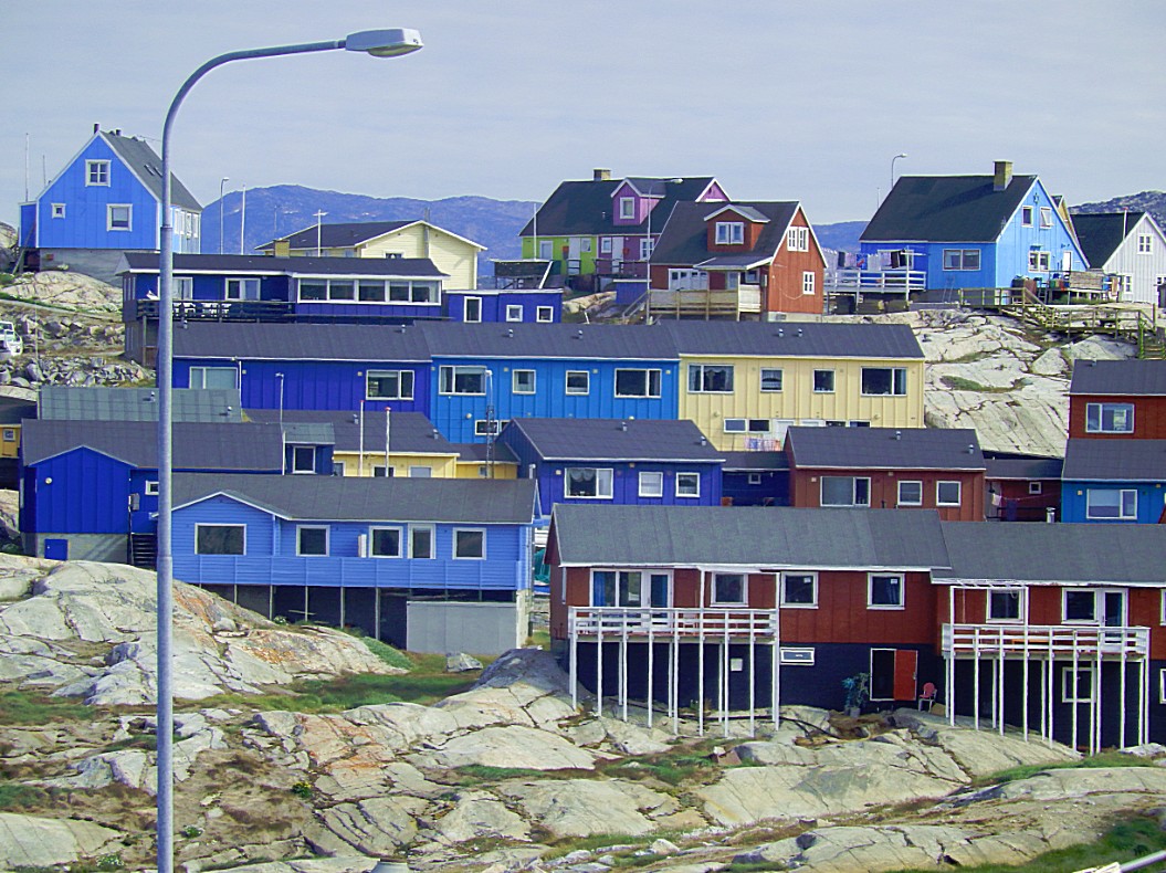
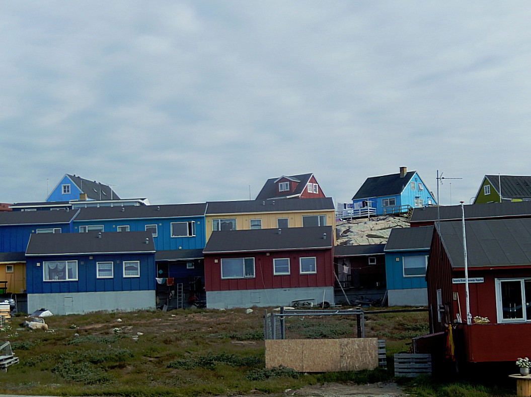
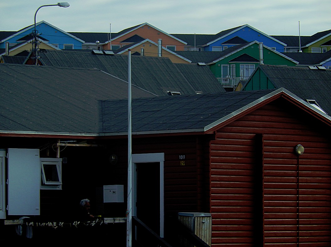
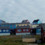
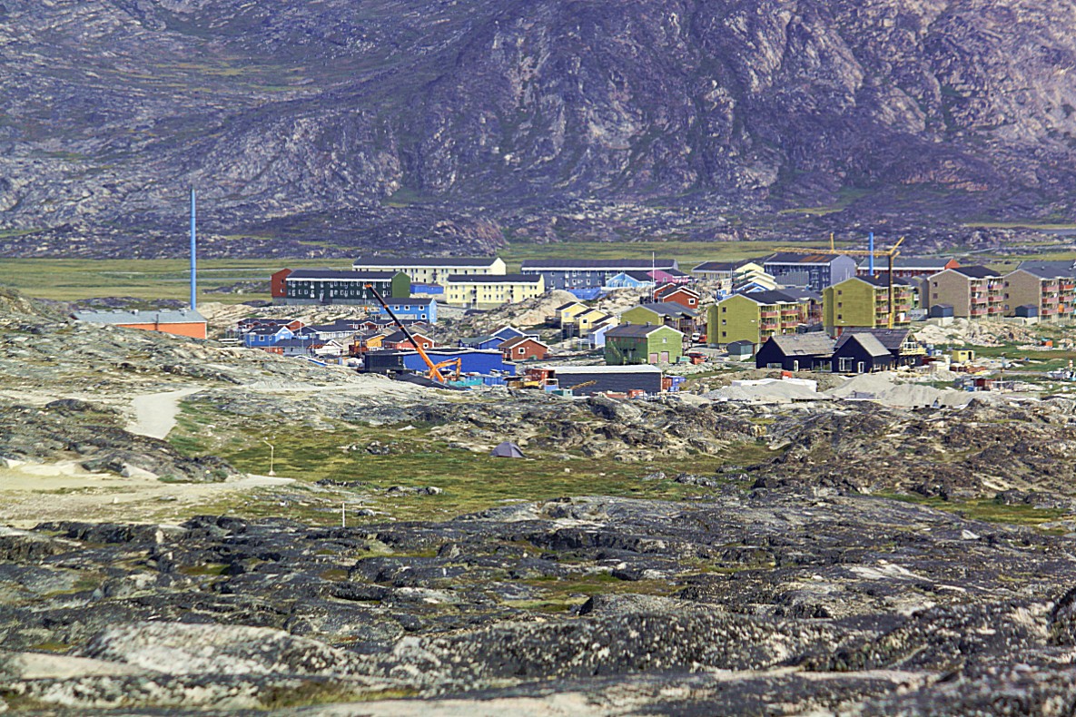
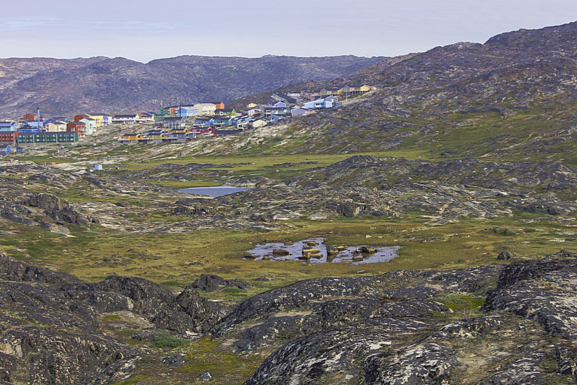
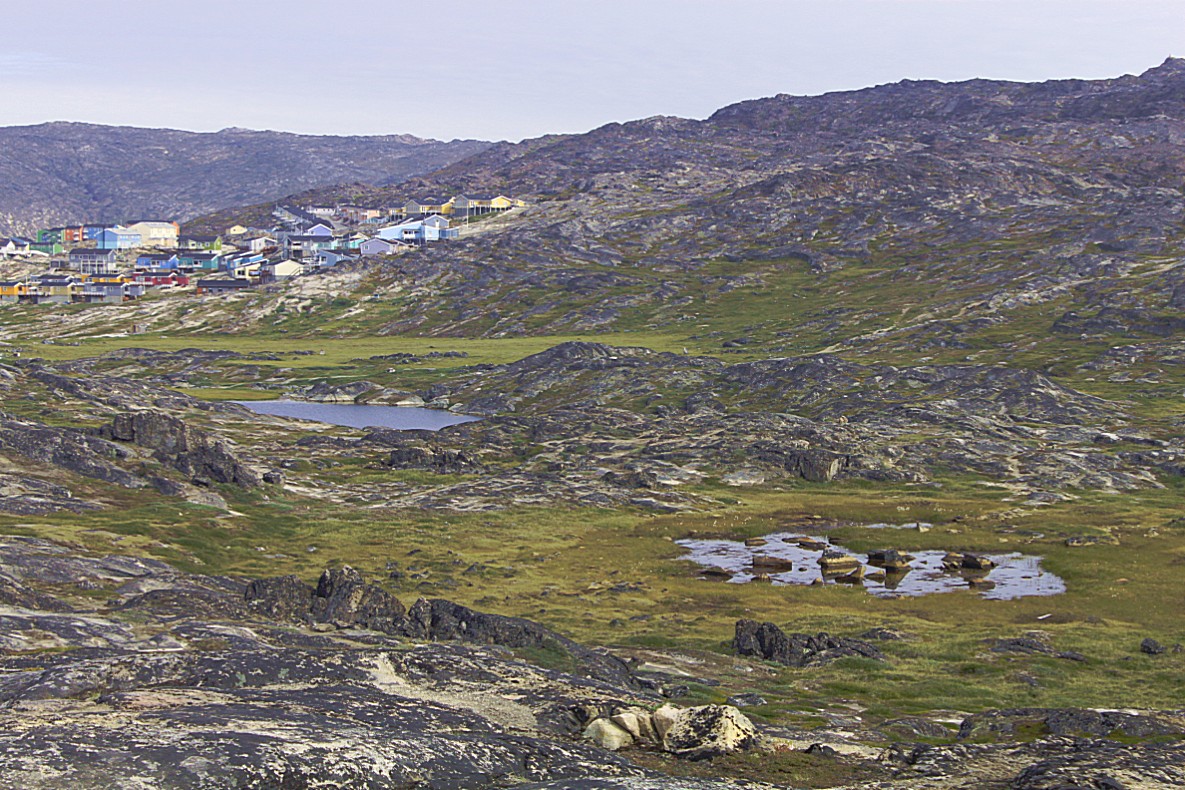
Colourful multistorye buildings…
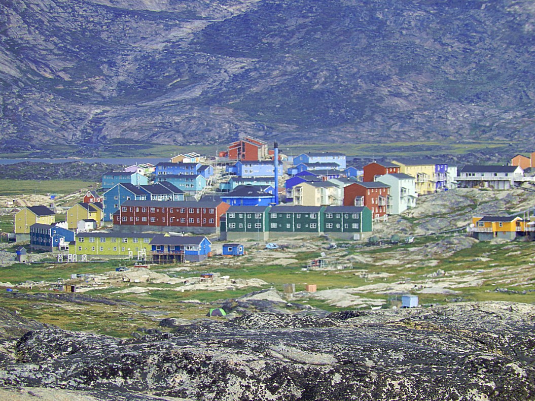 The small colorful cabins in front are sled dog cabins. In Greenland the law says that you cannot keep sled dogs south of the polar circle and north of the polar circle it is prohibited to keep sled dogs in residential areas. Sled dogs look cute and appear to be like the dogs we have as pets in Europe, but they are not. They are not wild animals either, but they do have wild tendencies that can’t be surpressed. This means you shoud not get close to them without a trainer as your guide. The dogs are kept in special dog areas during summer, where they are shackled to a long chain which gives them some space to move and get close to other neighbouring dogs. Close but not too close. They have a dog house and dog keepers provide them with enough food.
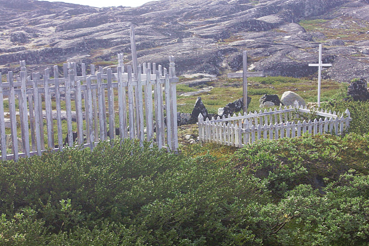
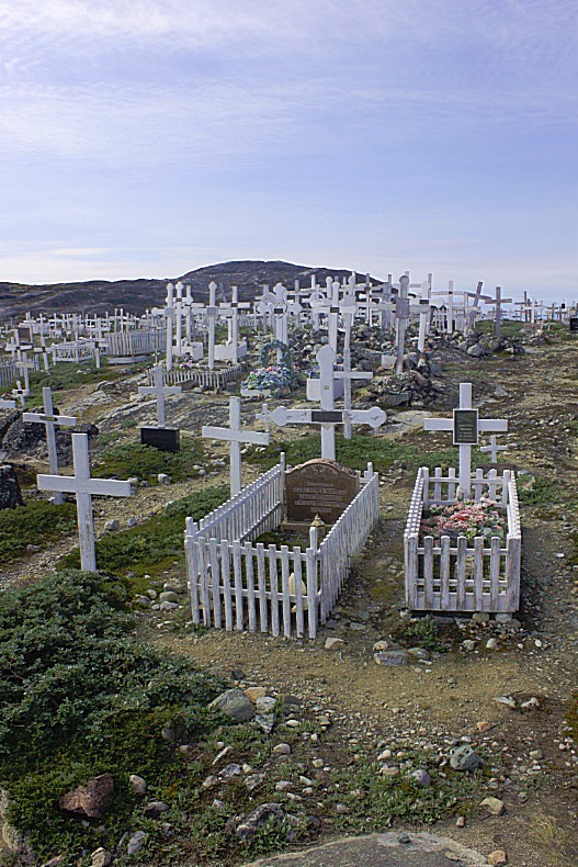
The reason why they were removed from the residential areas were some gruesome child deaths, caused by the dogs. Playgrounds at schools had to be protected with wooden fences agaist the dogs and on graveyards, graves had to be protected by wooden fences too, because the dogs would delve for bones.
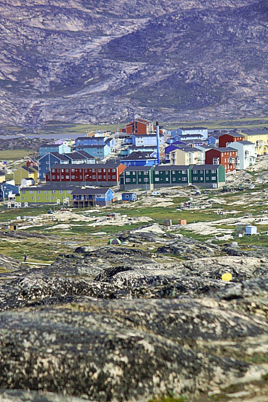 Some trails do go through the dog areas, but if you keep on the trail and don’t stray of to much, the dogs can’t reach you…
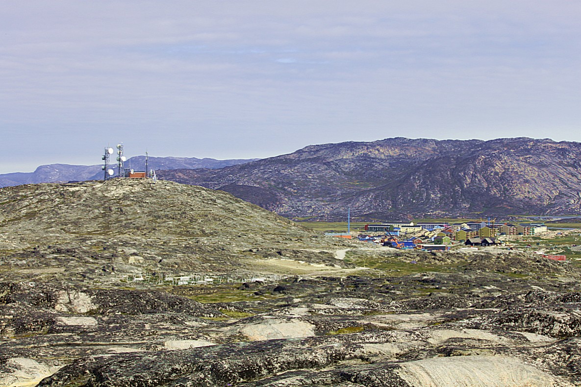
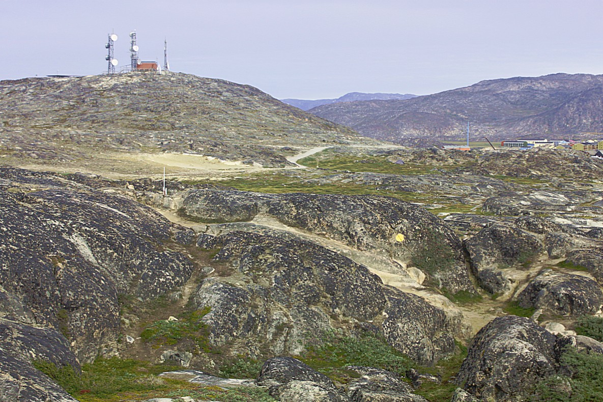
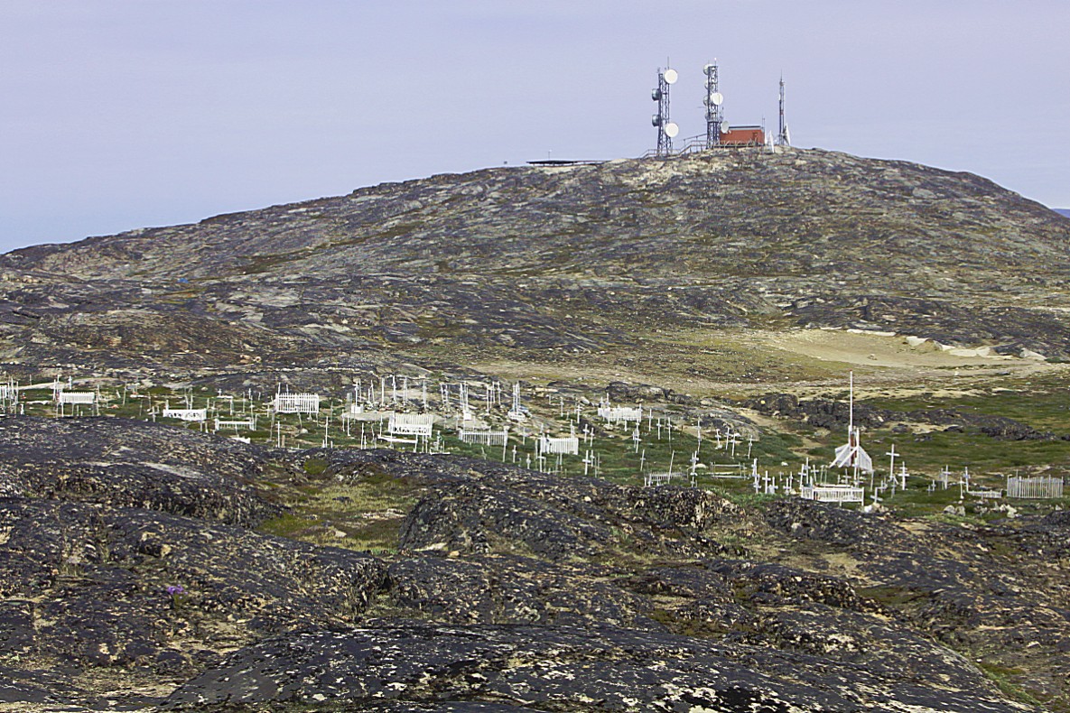
On top of a hill on the border of Ilulissat was the communication station for radio television and mobile phone signals…
Far beneath, the wooden World Heritage trail also led to the GL Heliport.
From the high view point I took some last pictures of the beautiful Icefjord and the tiny antlike people that now walked at its edge…
Walking back towards the Heliport, The Wandelgek had some beautiful views over Diskobay as well. Icebergs from the icefjord were scattred over the bay and Disco Island could be seen very well…
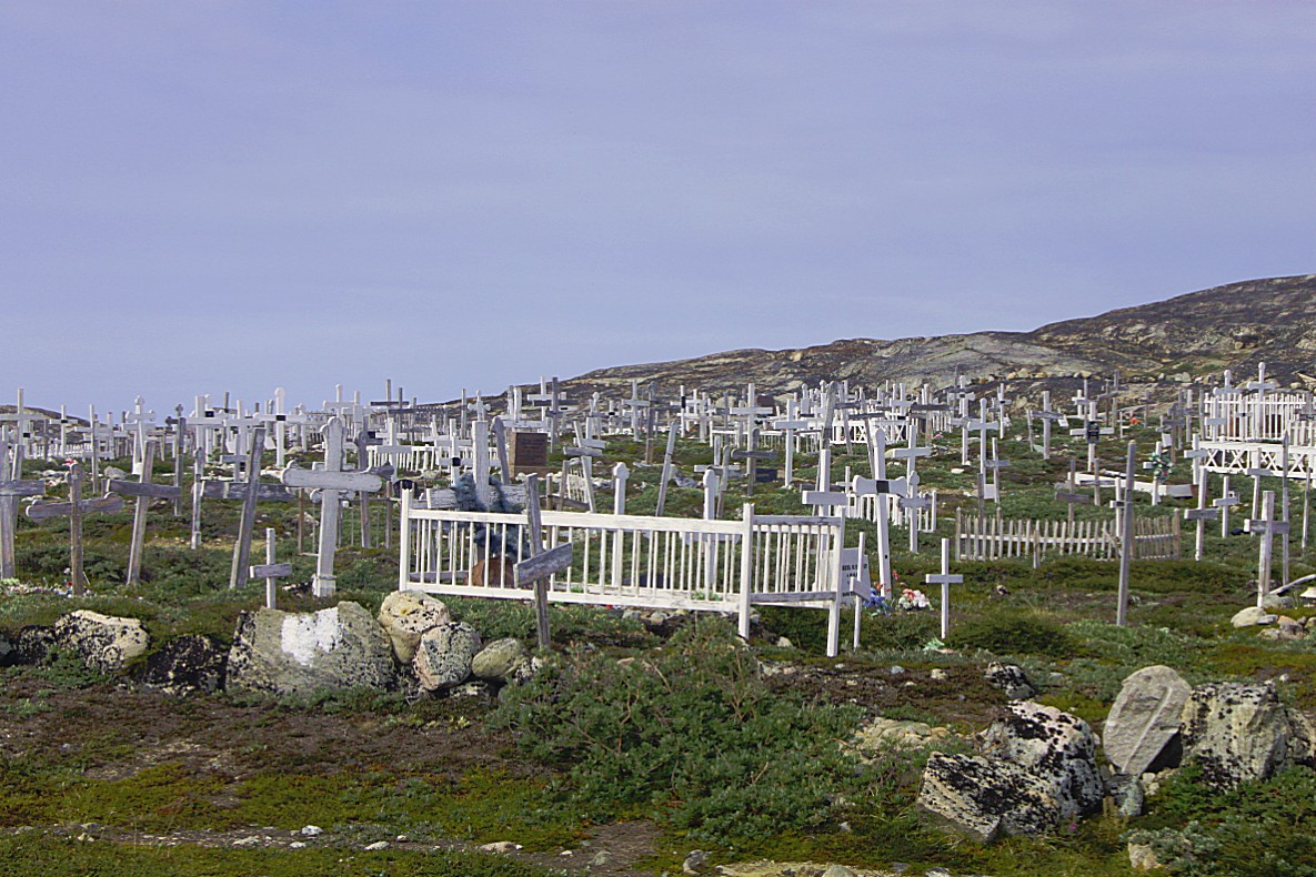
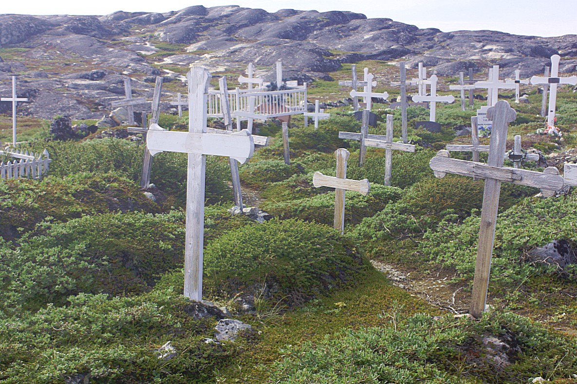
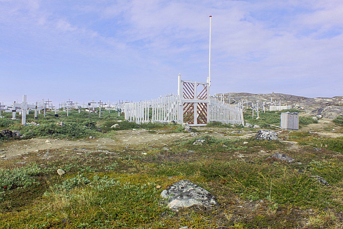
In the shadow of the hill where the communication station was build, was an old cemetery (7 on the elevation diagram) (there was a new cemetry on the other side of the town near the Airport).
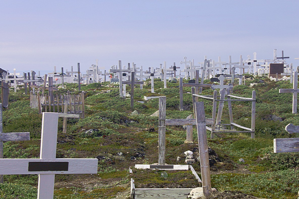
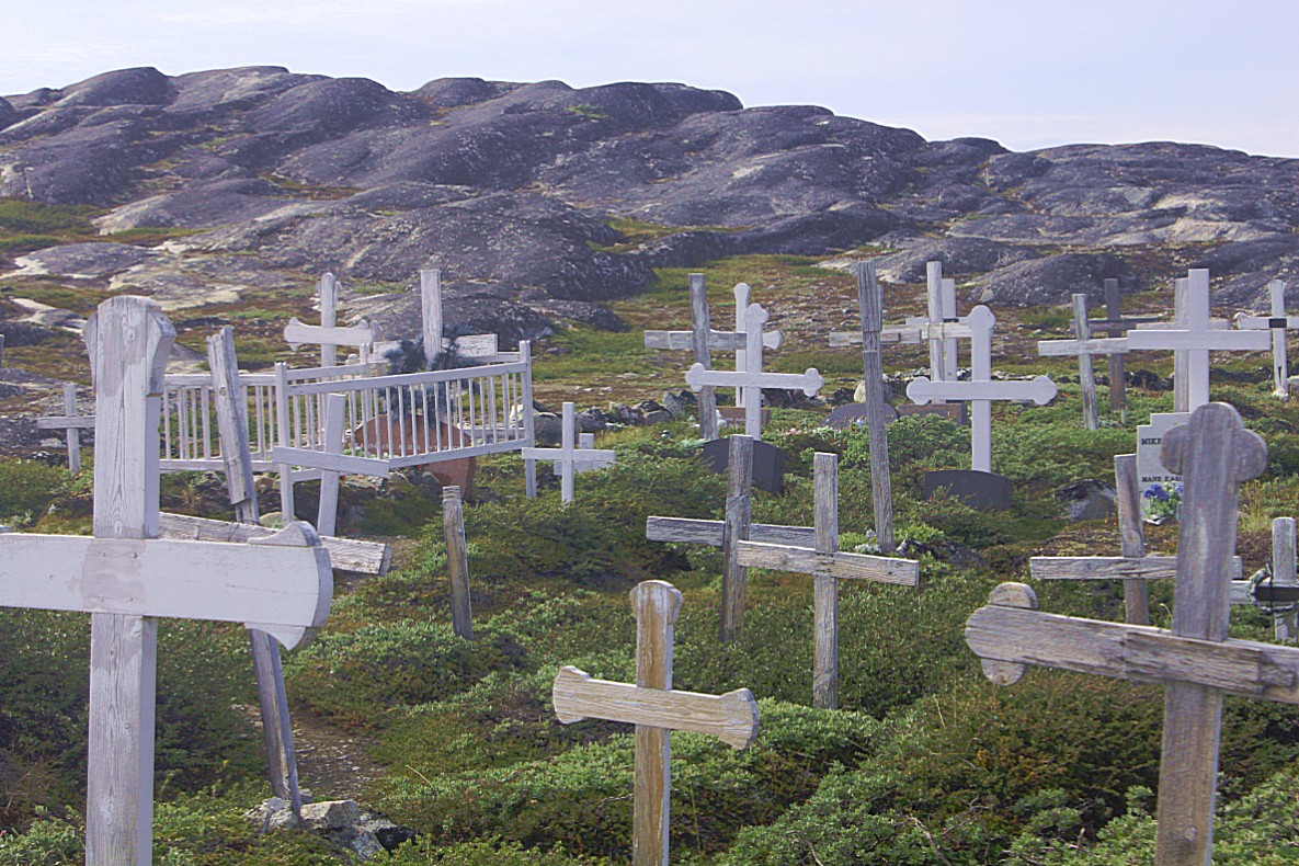
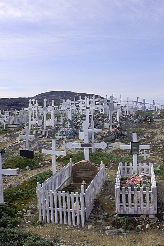
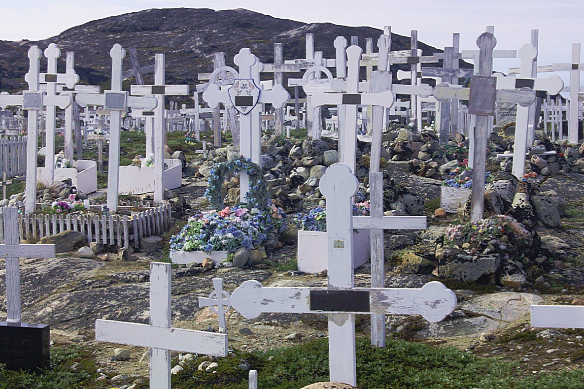
All crosses were of white painted wood as well as the dog fences. Not all of these fences were for dogs. Some of them were clearly meant to prevent humans to walk over the grave…
All wood is imported from Scandinavia because no trees grow in Greenland. Or let me correct that. There are trees growing in Greenland, but we wouldn’t recognize them as trees, because they can’t grow a trunk and only survive as branches crawling on the ground…
The main difference between an old and a new cemetry is the amount of flowers on graves. Those flowers are always fake plastic flowers, but also very colorful. Real flowers won’t survive very long in this climate…
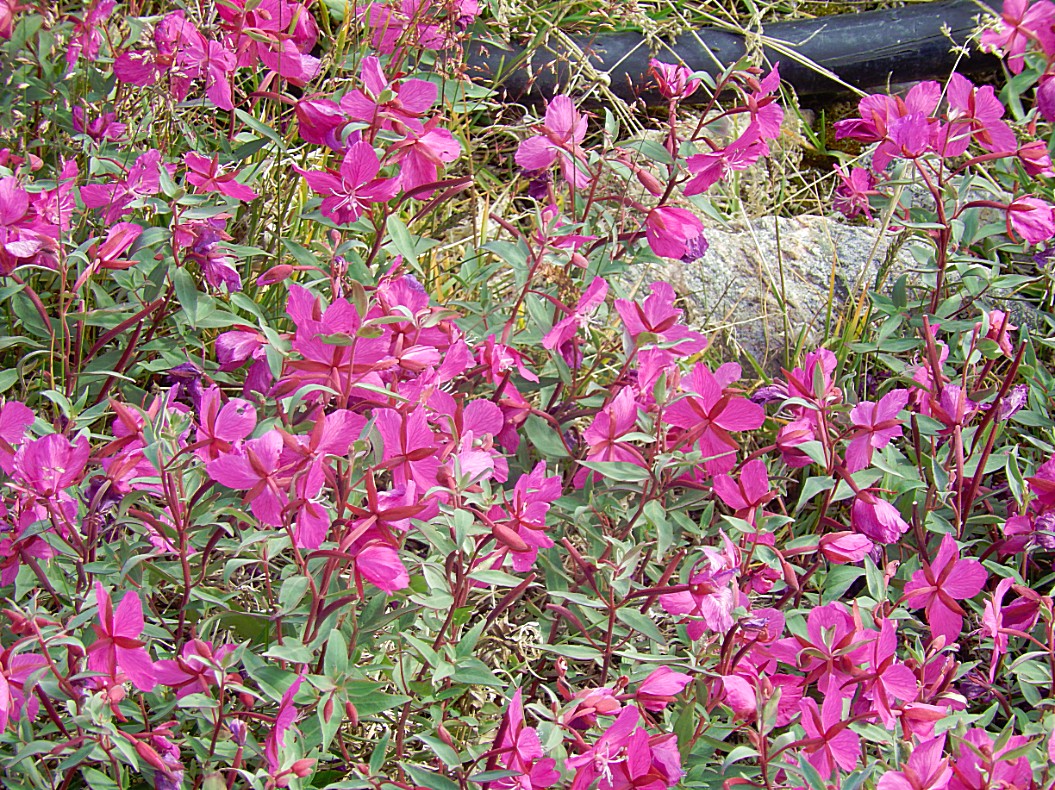
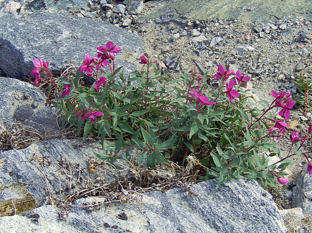
The dwarf fireweed or river beauty willowherb blooms in July and August and can reach a length of 15 to 40 centimetres. This arctic plant provides valuable nutrition for the Inuit, who eat the leaves raw, boiled with fat, or steeped in water for tea, the flowers and fruits raw, and as a salad with meals of seal and walrus blubber. Every part of this plant is edible, tasting much like spinach, and is also known in the Canadian tundra as River Beauty.
 Then The Wandelgek had reached the end of the Yellow trail at the Heliport.



Very, very true Dennis. It is like looking at the forces of Nature doing their work right in front of you. I would like to revisit this probably as much as you do. Thanks for your comment! 🙂
This is one of the most beautiful places to go to and enjoy this majestic sights.
Would love to revisit .
To behold this glacier and to be able to stand right next to it, in all its grandeur is something that you can never forget.