Hiking on the Inland Ice
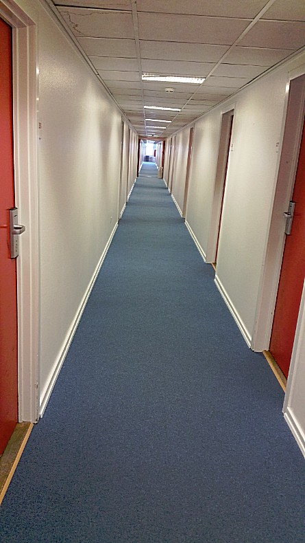
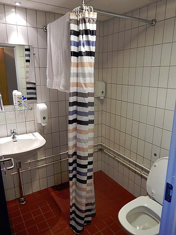
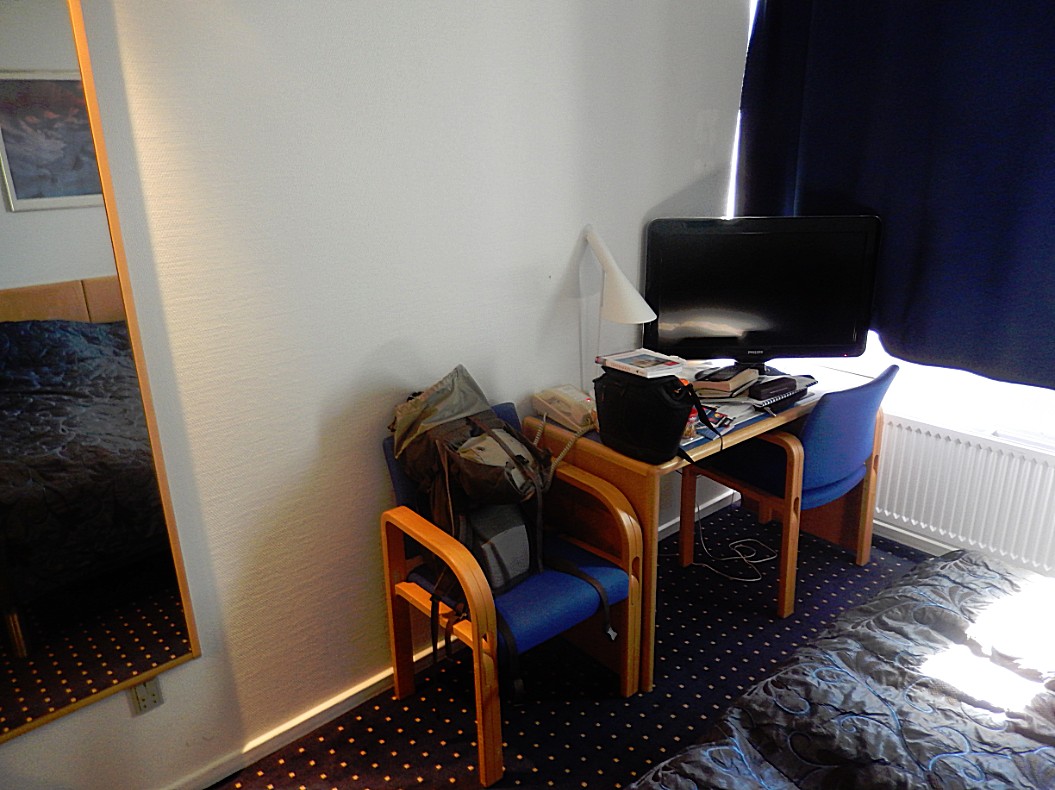
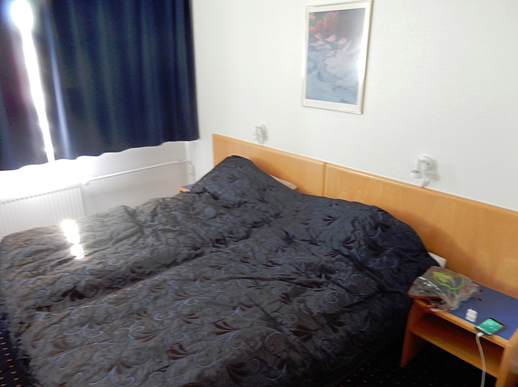
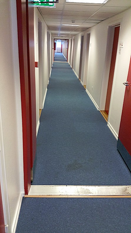
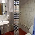
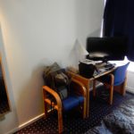
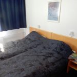
After the impressive flight over Greenland and its immense inland icecap, The wandelgek wanted nothing more than hiking on that large piece of ice. But 1st things 1st. After arriving at Kangerlussuaq Airport he checked in at the Airport hotel and took a long hot shower. The room in the hotel was quite nice …
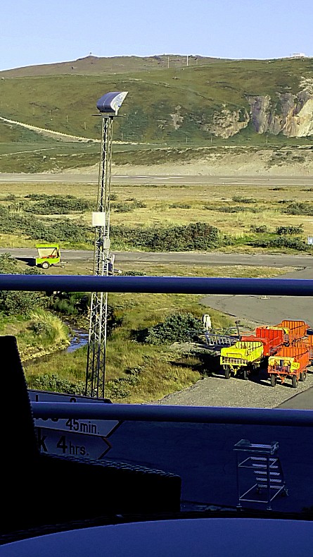
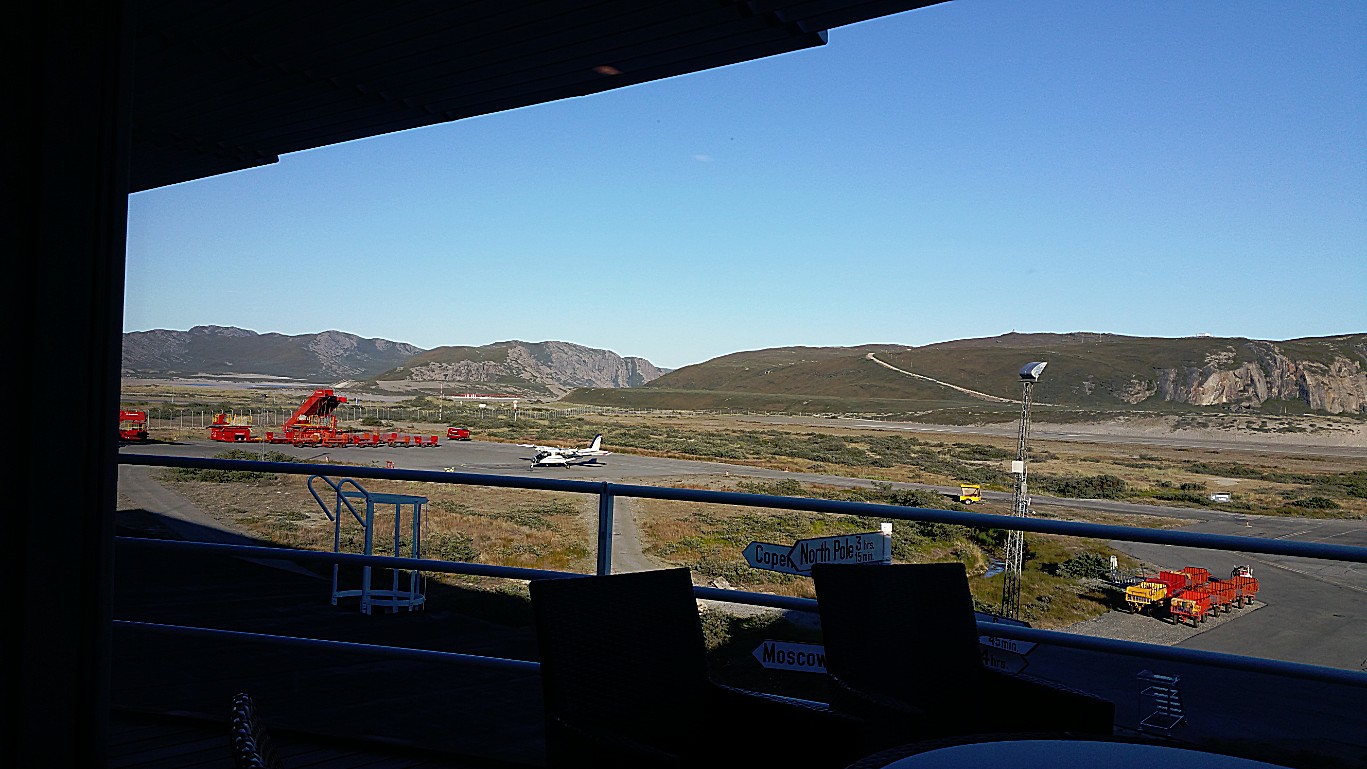
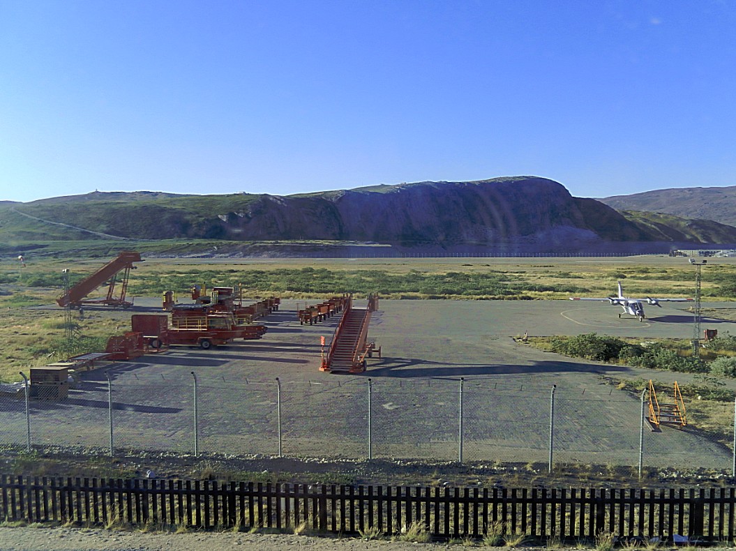
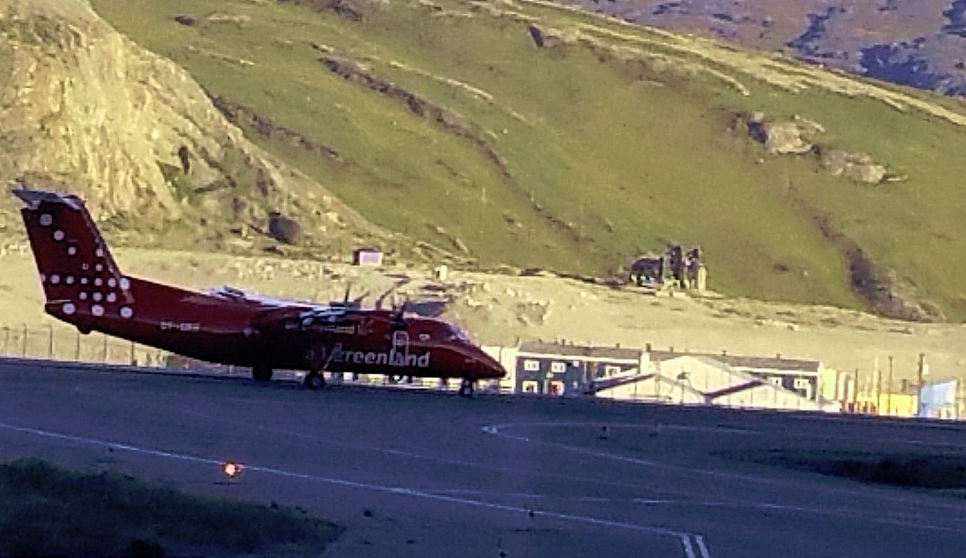
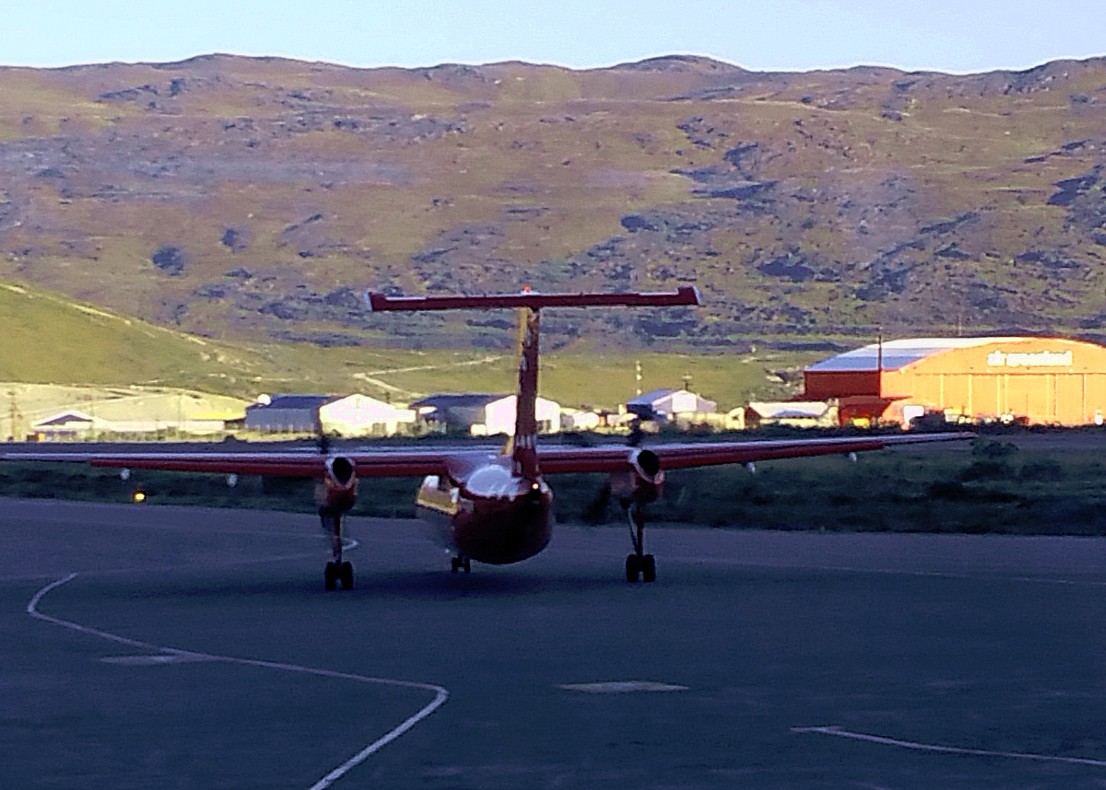
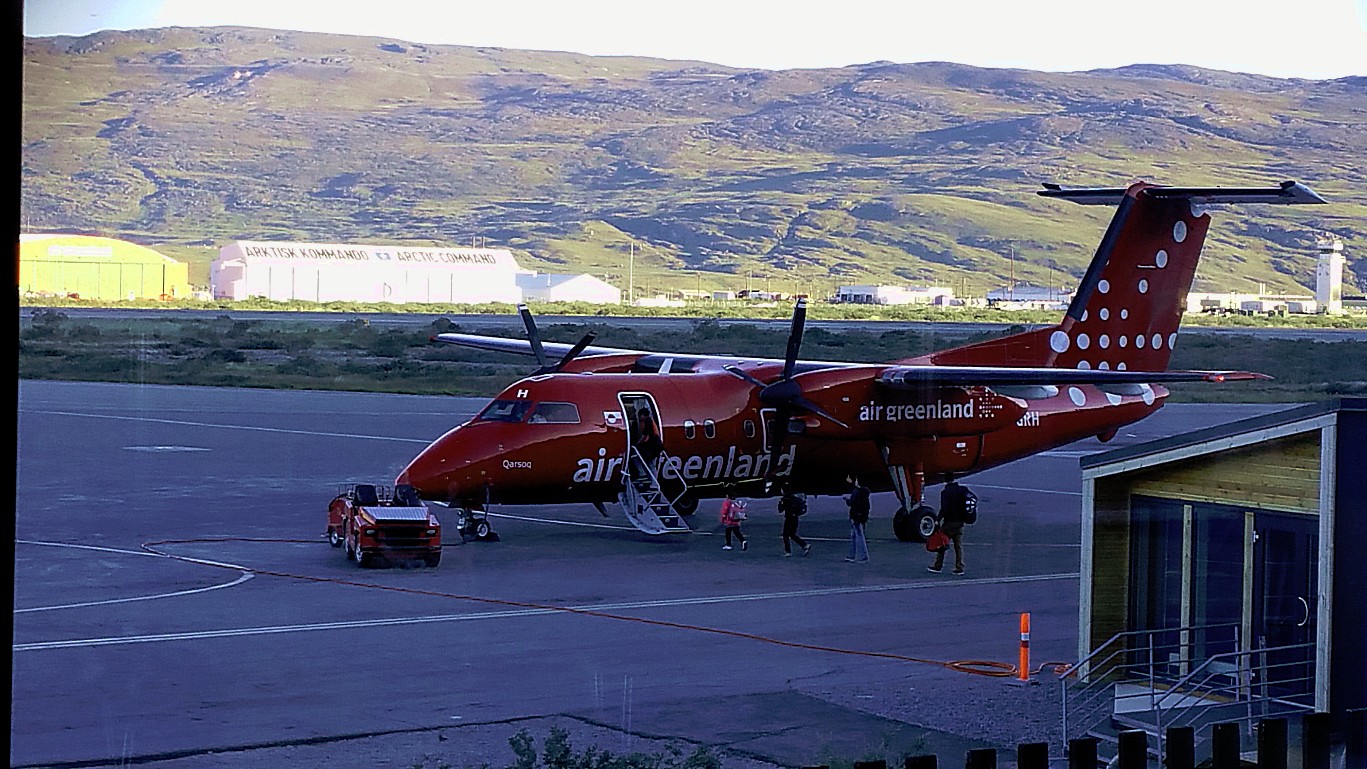
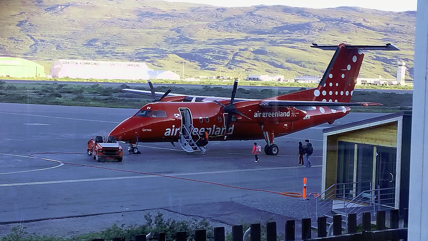
After that he went for a lunch and had a great overview over the Airport. Tomorrow The Wandelgek would travel further by de Havilland DHC-8 propeller plane
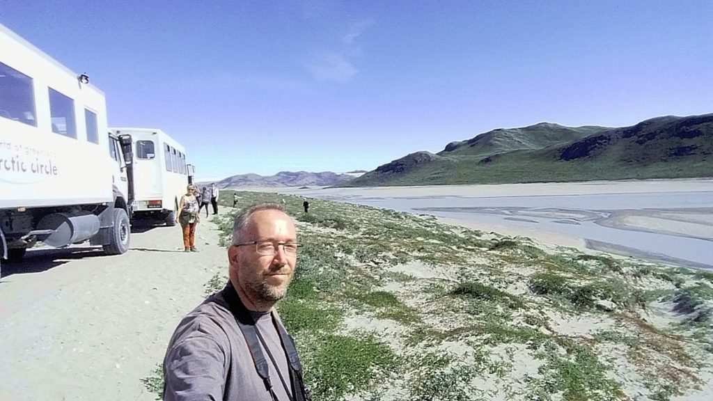
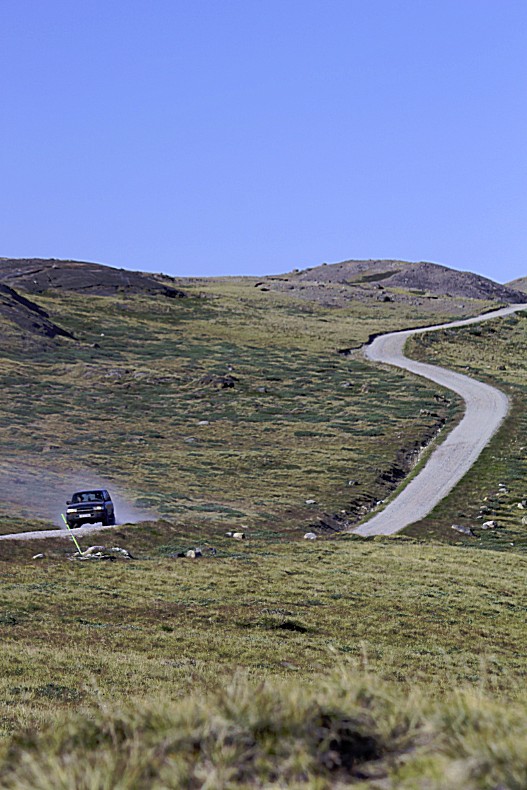
Than the adventure could start… He boarded an all terrain truck (quite similar to the ones he had been using in East and Southern Africa) and the truck started driving east on a gravel road…
Kangerlussuaq
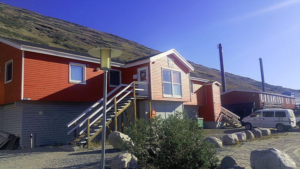
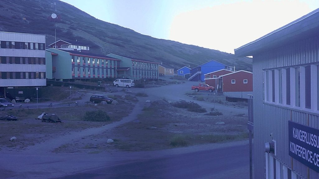
This is the International Airport of Greenland and you’d expect a bustling town sprawled around it, but nothing is further from trueth.
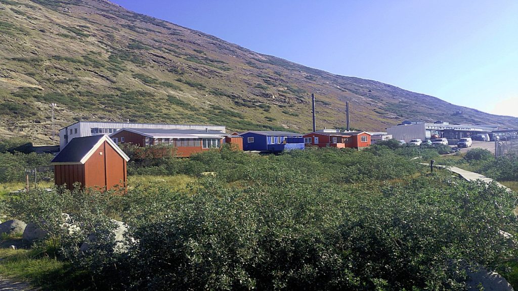
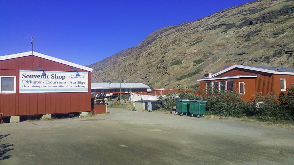
Kangerlussuaq (English: “Big Fjord” from Greenlandic language), (Danish: Søndre Strømfjord), is a settlement in western Greenland in the Qeqqata municipality located at the head of the fjord of the same name (Danish: Søndre Strømfjord). It is Greenland’s main air transport hub and the site of Greenland’s largest commercial airport. The airport dates from American settlement during and after World War II, when the site was known as Blue West-8 and then Sondrestrom Air Base. The Kangerlussuaq area is also home to Greenland’s most diverse terrestrial fauna, including muskoxen, caribou, and gyrfalcons. The settlement’s economy and population of 499 is almost entirely reliant on the airport and tourist industry.
History
Kangerlussuaq was founded at the east end of Kangerlussuaq fjord as Bluie West-8 on 7 October 1941, under the supervision of Colonel Bernt Balchen of the United States Army Air Forces (USAAF). Following the fall of Denmark to Germany in World War II, US forces assumed security for Greenland, building several bases including Bluie West-1 to the south in Narsarsuaq and Bluie West-8 at the Kangerlussuaq fjord.
The base briefly came under Danish control in 1950, but following mounting concerns about the Cold War threat, a new agreement saw the United States reopen Bluie West-8 under the name of Sondrestrom Air Base on 27 April 1951.
It served as one of the Distant Early Warning Line bases and a supply station for similar early warning facilities. Following the fall of the Soviet Union, the usefulness of the base was greatly diminished and the last U.S. Air Force personnel left the base on 30 September 1992. The base subsequently came under Greenlandic Home Rule and was renamed using the Kalaallisut dialect of the West Greenland Inuit.
This site and Bluie West-1 in Narsarsuaq remain Greenland’s best-equipped airports. Almost all of the permanent structures in the town were built during the American occupation of the site.
Geography
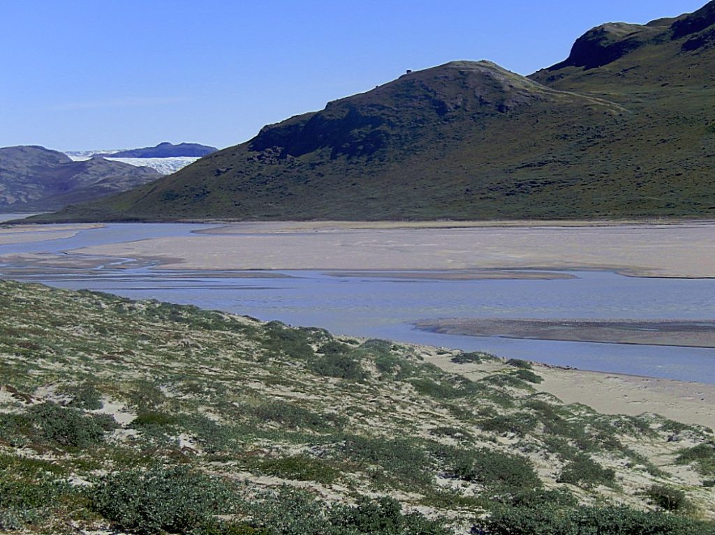
Kangerlussuaq occupies an alluvial flatland on the far end of the 190 km long Kangerlussuaq Fjord, straddling both sides of the Qinnguata Kuussua river estuary. East of Kangerlussuaq there is a confluence of the two major regional rivers, the Qinnguata Kuussua and Akuliarusiarsuup Kuua. The valley of the latter forms large quicksand plains. Both rivers originate from the Russell Glacier. The edge of the glacier is easily accessible and is a major tourist attraction from the town, as is the edge of the ice sheet in the Isunngua highlands to its northeast.
Highlands such as Tarajornitsut bound Kangerlussuaq from the north and south. To the southeast behind lake Tasersuatsiaq, which provides fresh water to the town, is the vast highland of Ammalortup Nunaa, the original region artificially populated with 27 muskoxen.
The town is situated about 50 kilometres (31 mi) north of the Arctic Circle.
Transport
Air
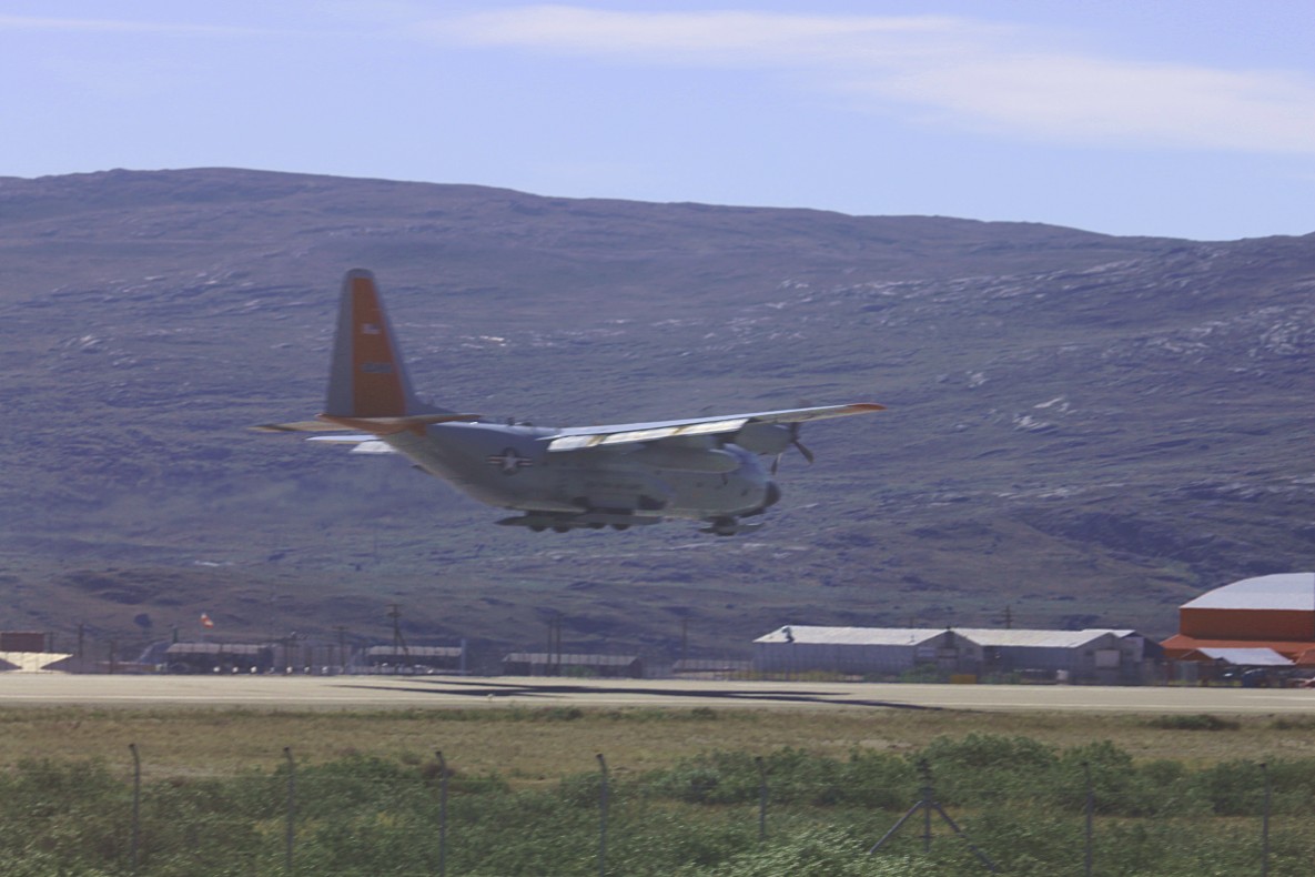
As the only civilian airport in Greenland large enough to support large long-range airplanes such as Boeing 747s, Kangerlussuaq Airport is Greenland’s most important transport hub. Hotel Kangerlussuaq operates at the airport.
Road to the ice sheet
Kangerlussuaq has the largest road network outside any settlement in Greenland (not counting streets inside the settlement).
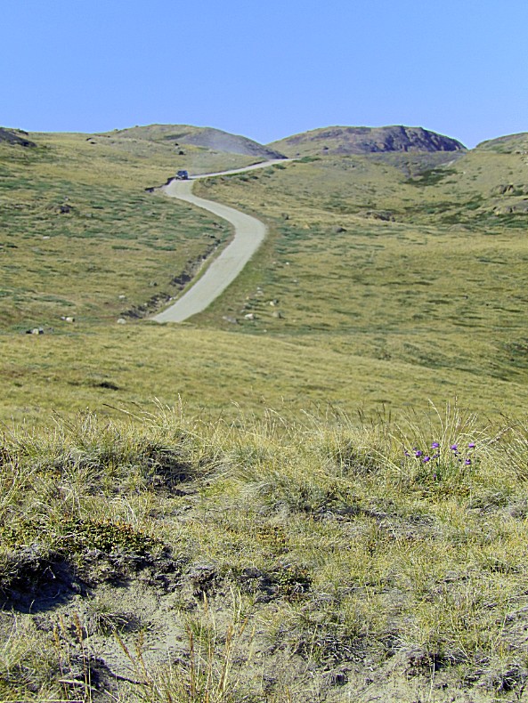
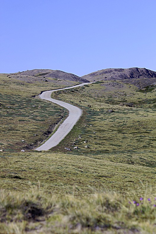
A gravel road through Isunngua connects Kangerlussuaq with the ice sheet, initially serving as venue for car endurance experiments. Since then it is mainly used for tourist purposes.
Construction of a road to Sisimiut (170 km) has been discussed for several years without resolution. The cost estimates have been between 250-500 million Danish Kroner (DKK), depending on road quality, and therefore the plans are delayed. The drive time would be much longer than the fly time, and there are also considerations to move the main hub of Air Greenland to Nuuk Airport, closing Kangerlussuaq airport.
In the spring of 2000 the Swedish construction group Skanska’s Greenlandic subsidiary completed six months’ work in establishing a 30 kilometres (19 mi) road for the testing company Nausta, which operates a testing site in northern Sweden. The road runs through the glacial valley of Akuliarusiarsuup Kuua, from Kangerlussuaq to the edge of the permanent inland ice in Isunngua. A road stretching 150 km (93 mi) was laid on the inland ice. Nausta built the facility to complement the winter testing done by Volkswagen in northern Sweden and Finland.
The site at Kangerlussuaq was primarily used in the summer half of the year, from April through October. The entire testing ground was used to test cars’ performance in extreme cold and conditions of near-zero friction. The cars were flown from Europe to Kangerlussuaq, and then driven to the proving grounds after last-minute checks. This project was abandoned and from 2006 the road leading to the edge of the ice cap is maintained for tourist purposes only, though access to the last segment of the road is limited and requires a key to open the padlocked gate. Ice activity has demolished the inland ice segment of the road, and it now ends in Isunngua, on the edge of the ice sheet.
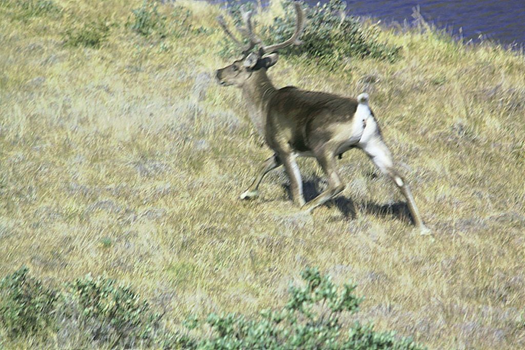
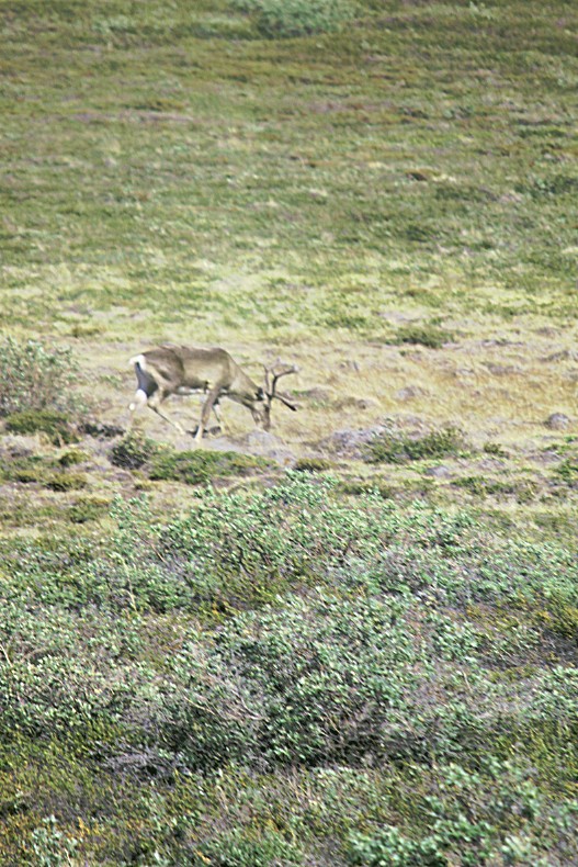
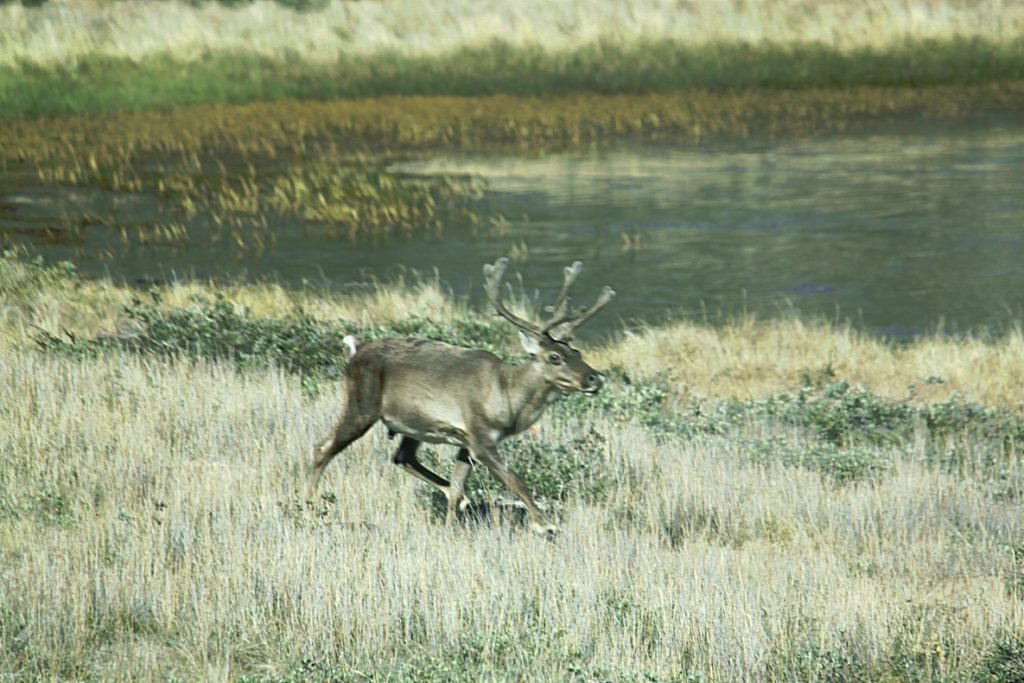
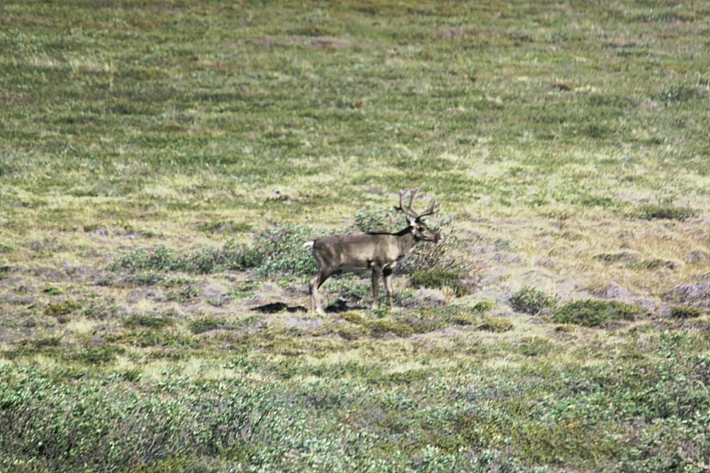
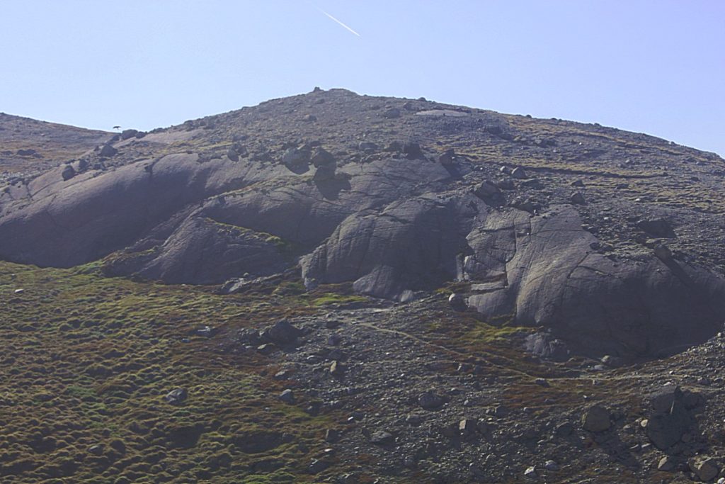
During our trip to the inland ice and the glacier we twice saw a reindeer running…
Reindeer/Caribou
The reindeer (Rangifer tarandus), also known as caribou in North America, is a species of deer with circumpolar distribution, native to arctic, subarctic, tundra, boreal, and mountainous regions of northern Europe, Siberia, and North America. This includes both sedentary and migratory populations.
While overall widespread and numerous, some of its subspecies are rare and at least one has already become extinct. For this reason, it is considered to be vulnerable by the IUCN.
Reindeer vary considerably in colour and size. Both sexes can grow antlers annually, although the proportion of females that grow antlers varies greatly between population and season. Antlers are typically larger on males.
Hunting of wild reindeer and herding of semi-domesticated reindeer (for meat, hides, antlers, milk and transportation) are important to several Arctic and Subarctic peoples. In Lapland, reindeer pull pulks.
In traditional festive legend, Santa Claus’s reindeer pull a sleigh through the night sky to help Santa Claus deliver gifts to children on Christmas Eve.
 First the road went through Sandflugten dalen…
Akuliarusiarsuup Kuua/Sandflugtdalen
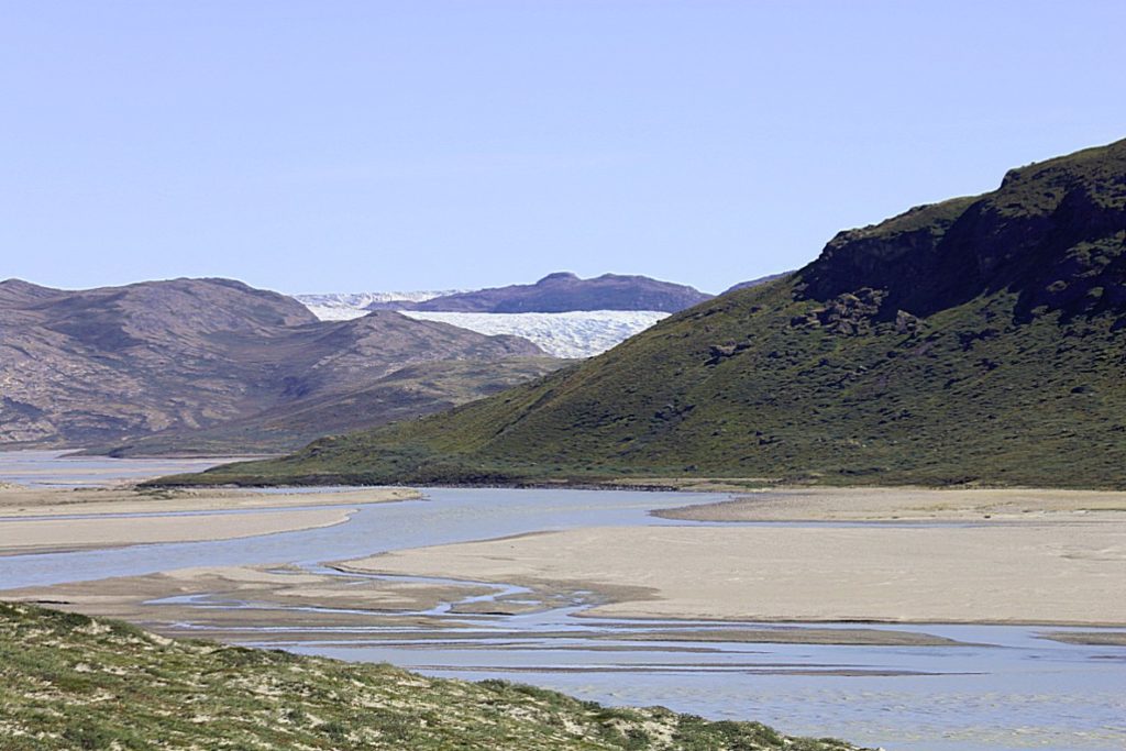
Akuliarusiarsuup Kuua (Danish: Sandflugtdalen) is a river and valley of the same name in the Qeqqata municipality in central-western Greenland. Its source is the meltwater outflow from Russell Glacier, an outflow of the Greenland ice sheet. The river is a tributary of Qinnguata Kuussua, the main river in the Kangerlussuaq area. For most of its run, the river flows very slowly through the sandur basin of the valley, forming meanders amongst large fields of glacial silt quicksand. The climate is polar continental, with the area receiving very little rainfall.
Geography
Several meltwater outflow streams from the base of the Russell Glacier (67°05′48″N 50°14′50″W) form the Akuliarusiarsuup Kuua river. The valley is 30 km (19 mi) long, oriented east-north-east to west-south-west. From the north it is bounded by a low-lying (300-400m) ridge − part of the Kangaamiut dike swarm − separating it from large glacial lakes of Aajuitsup Tasia and Sanningasoq. On the southern side the boundary is formed by an exposed, barren, and flattened ridge of Akuliarusiarsuk.
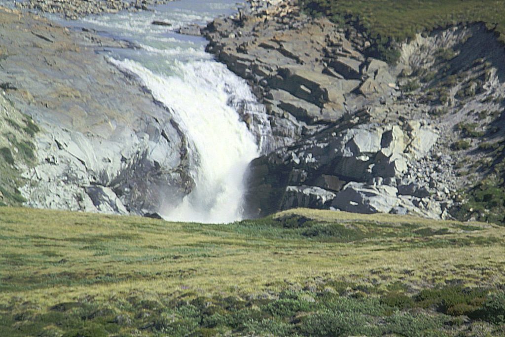
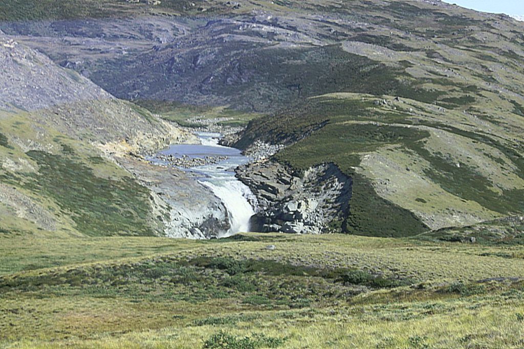
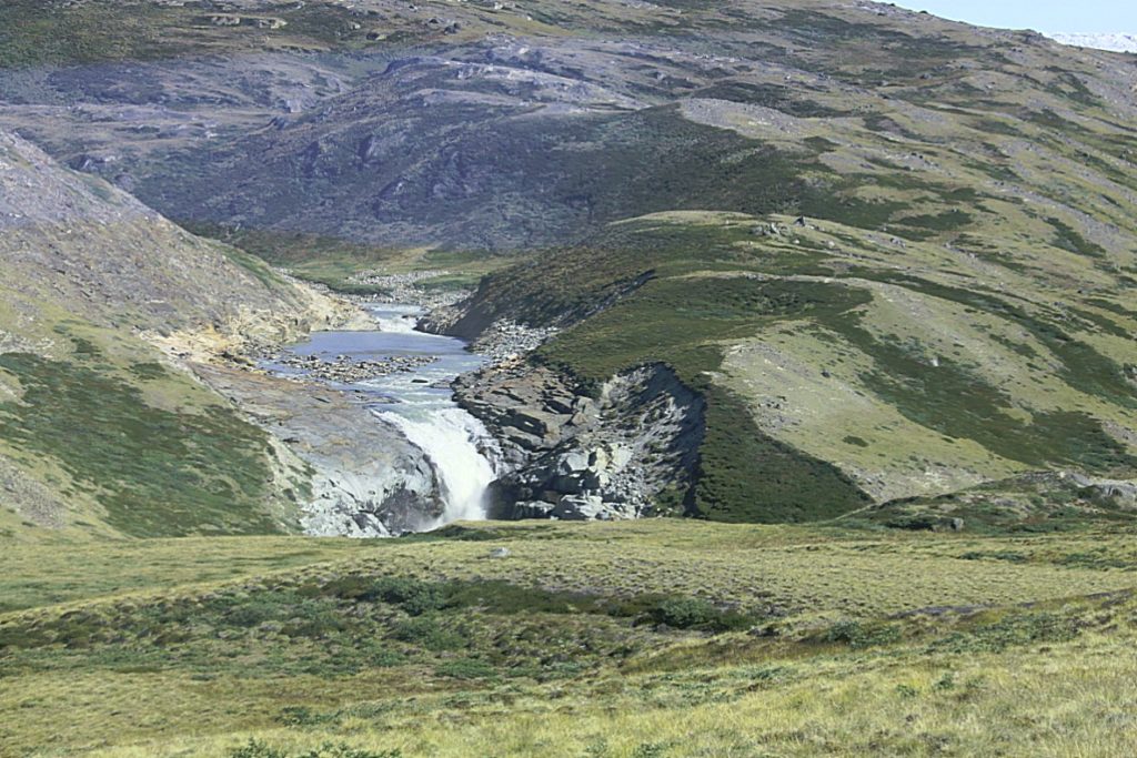
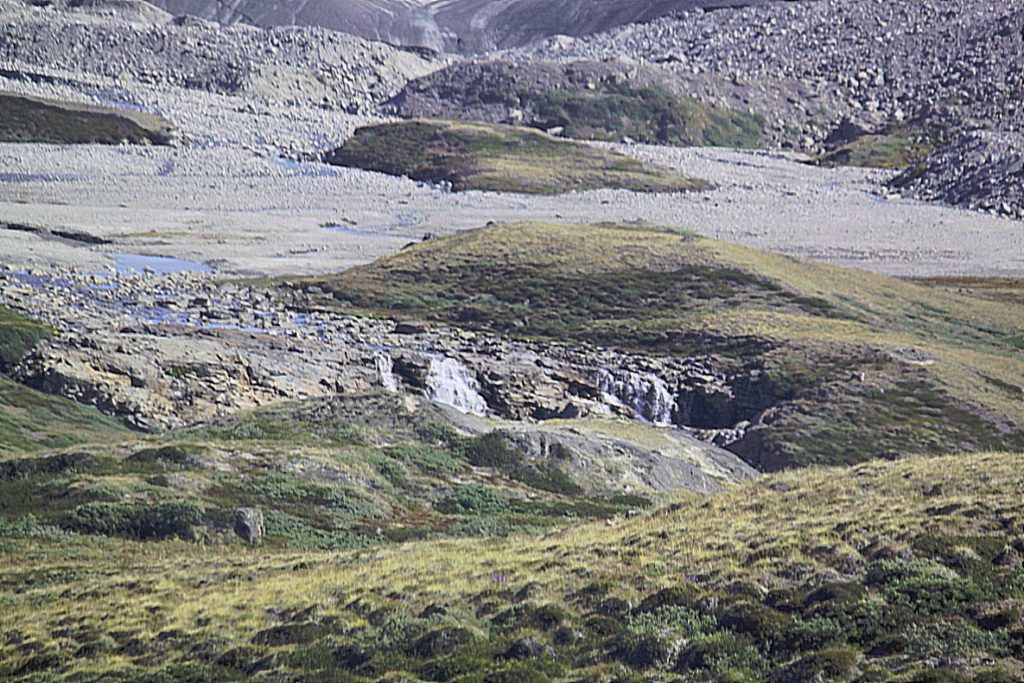
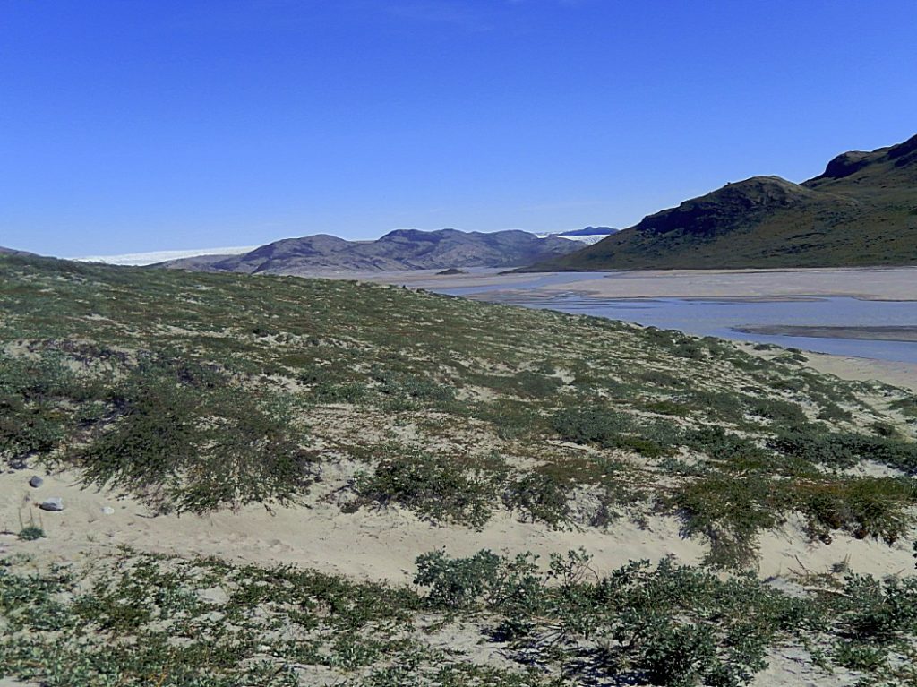 The lower part of the valley narrows down in the gorge between Akuliarusiarsuk ridge in the south and lone-standing Sugar Loaf mountain in the north, forming waterfalls. In the immediate vicinity of Kangerlussuaq at approximately 67°01′10″N 50°39′20″W the river empties into a larger river, Qinnguata Kuussua, again amongst wide fields of quicksands. The narrow estuary of the latter at the end of Kangerlussuaq Fjord was referred to as Watson River during American occupation of the Bluie West Eight air base at what is today Kangerlussuaq.
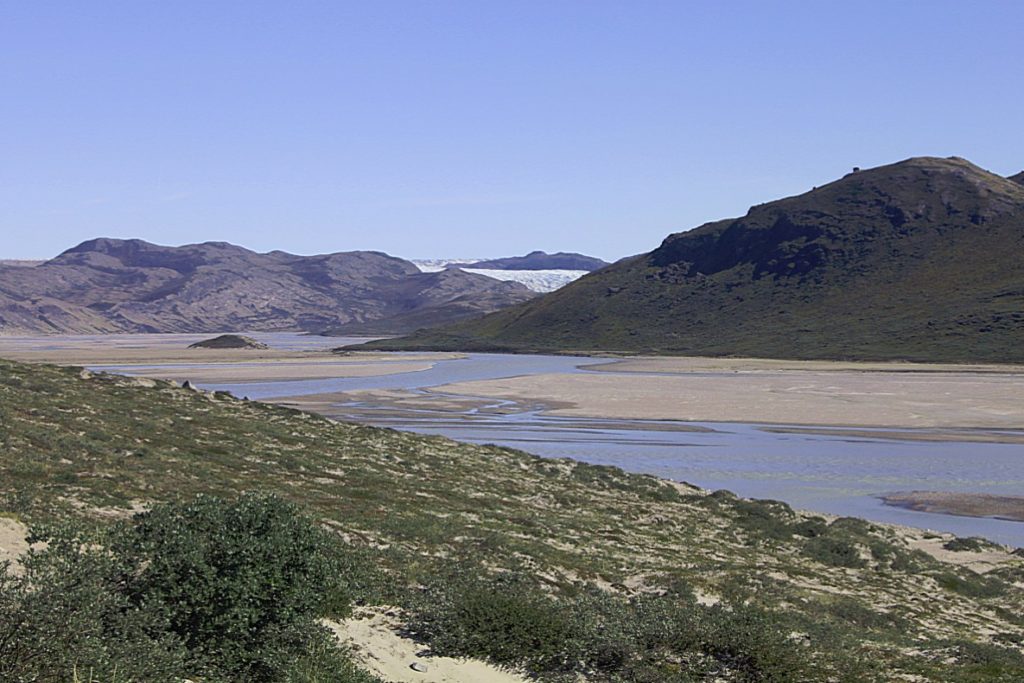
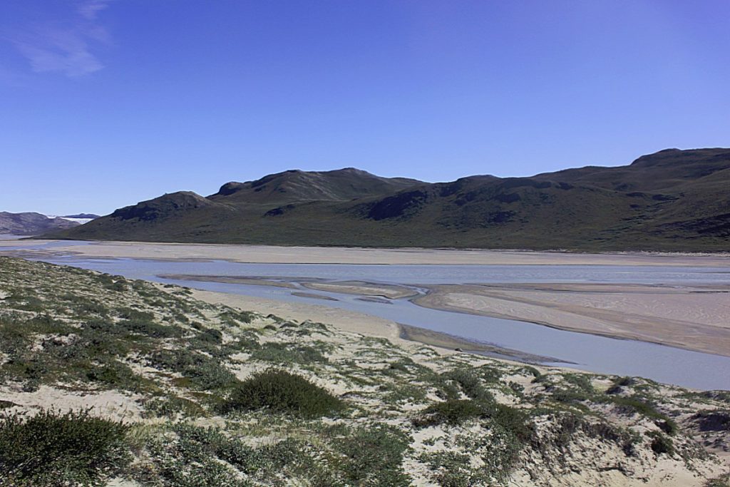
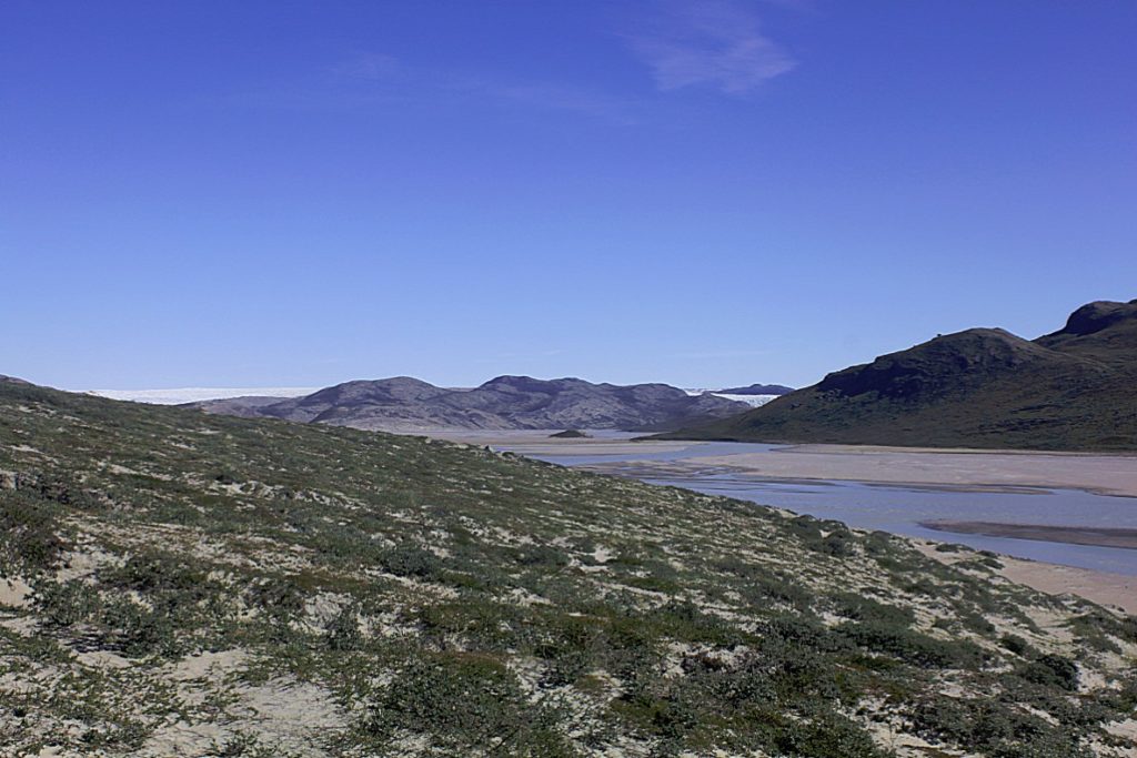
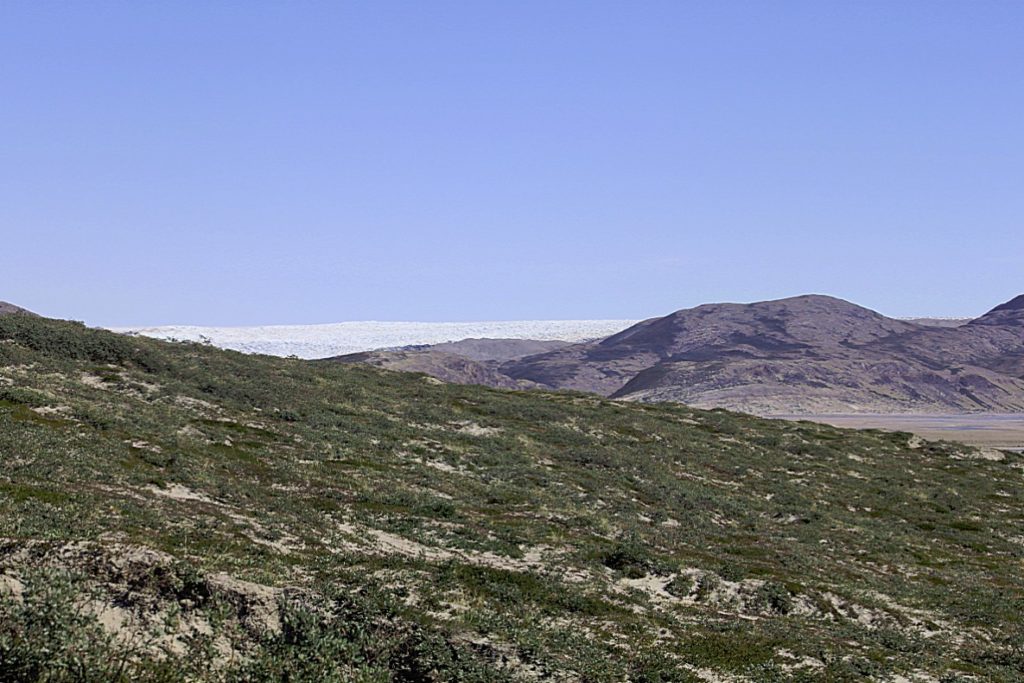 Then we proceeded through the wide valley that was once flled with ice…
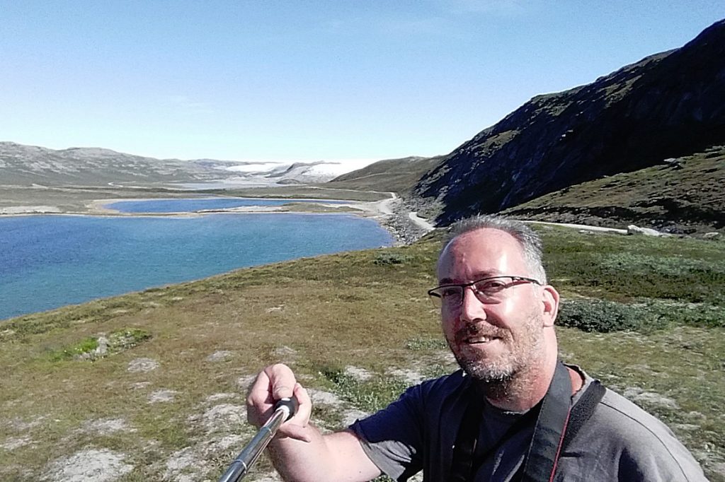
We reached Long Lake…
Aajuitsup Tasia/Long Lake
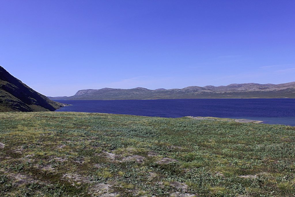
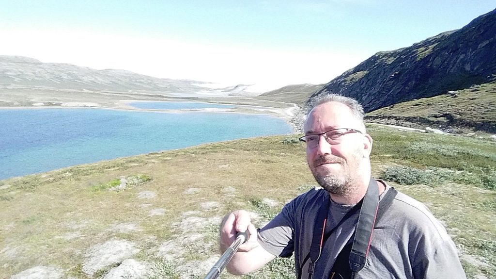
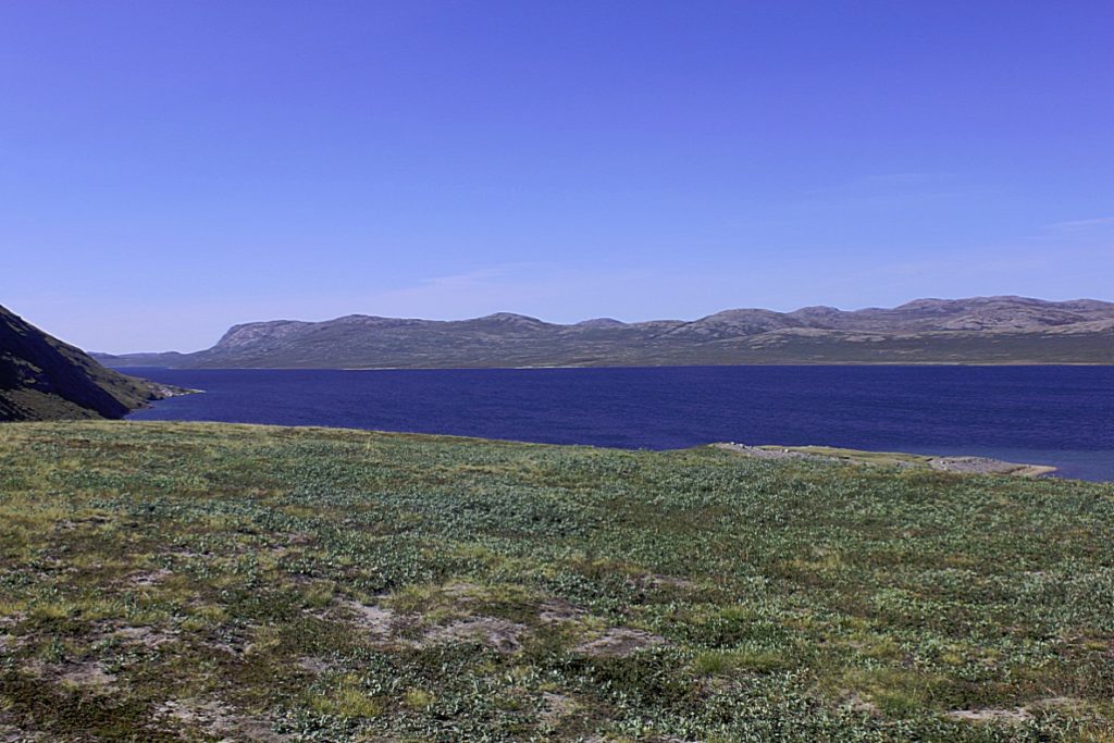
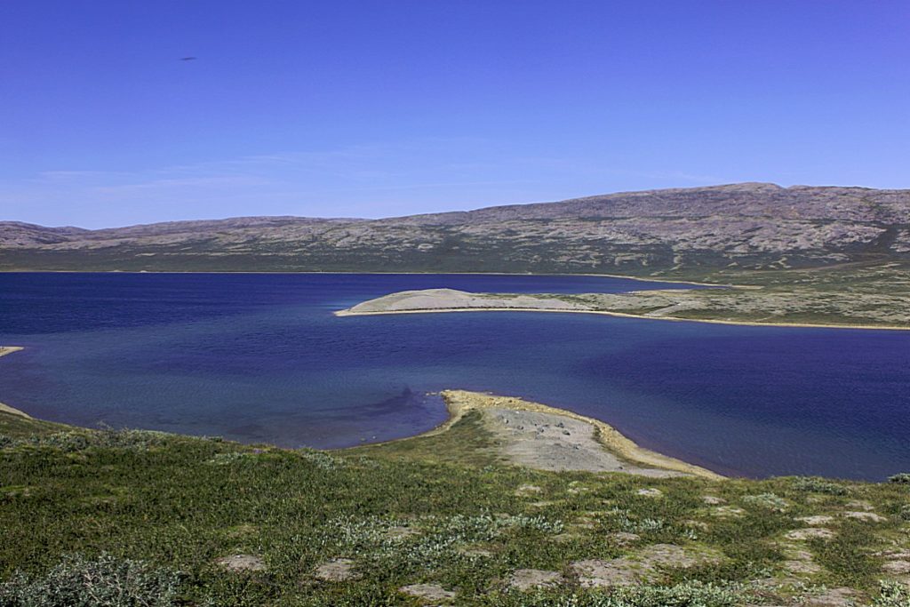
Aajuitsup Tasia (old spelling: Aujuitsup Tasia) is a large lake in central-western Greenland, in the Qeqqata municipality. It is located approximately 12 km (7.5 mi) northeast of Kangerlussuaq. It is of elongated oval shape, with its western shore at 67°04′45″N 50°30′02″W and its eastern shore at 67°05′35″N 50°16′30″W. Aajuitsup Tasia is an oligotrophic lake of 32 m (105 ft) depth, covering an area of 1,350ha.
 Geography
The 2×10 km lake is separated from the Akuliarusiarsuup Kuua valley and Kangerlussuaq in the south by a low tundra ridge − part of the Kangaamiut dike swarm. To the west lies a sibling Sanningasoq twin lake. To the north-east lies the wide highland of Isunngua.
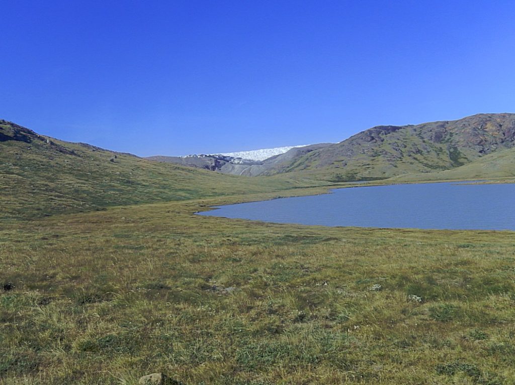
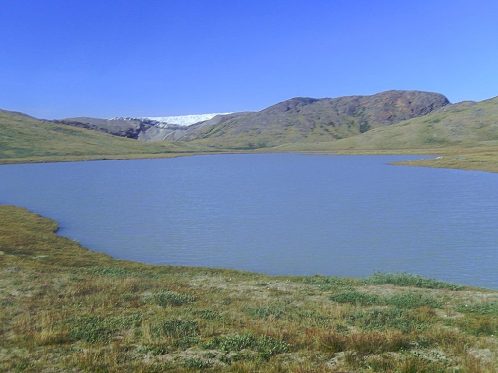
The surface of Aajuitsup Tasia is almost level with the surface of the neighboring meltwater lake, an outflow of Russell Glacier. The altitude differential produces an outflowing boggy stream flowing from Aajuitsup Tasia to the unnamed meltwater lake, allowing Aajuitsup Tasia to retain its freshwater character despite being directly in the glacier outflow path.
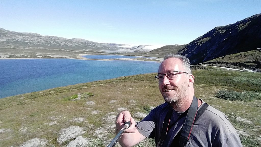
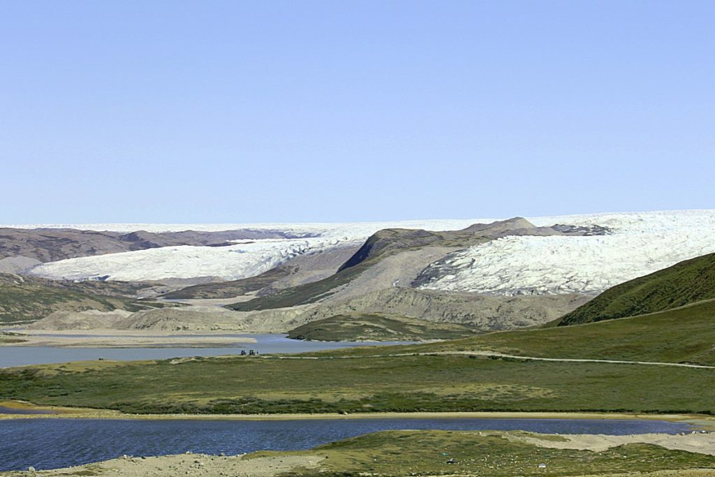
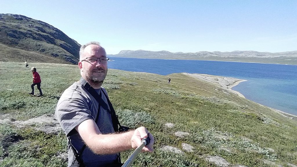
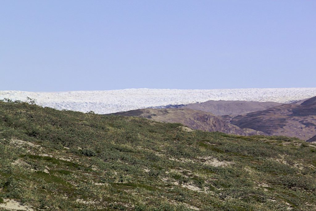
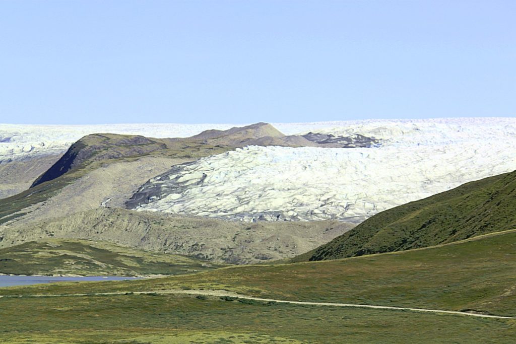
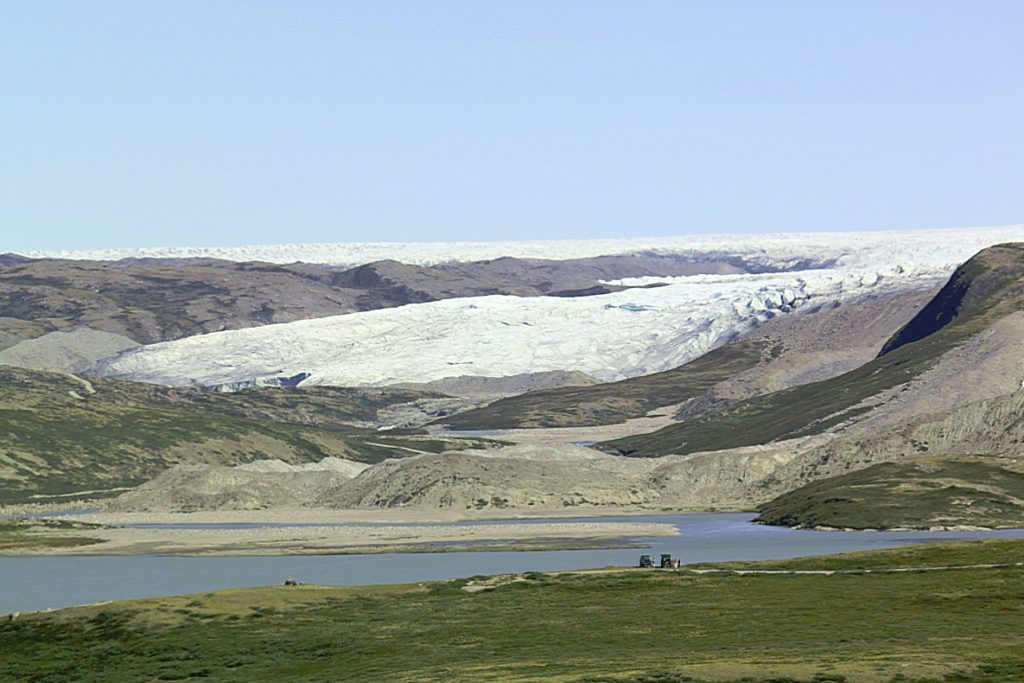
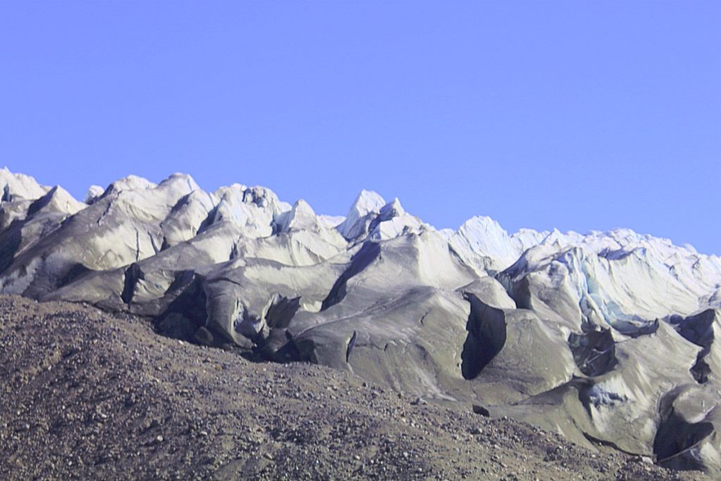
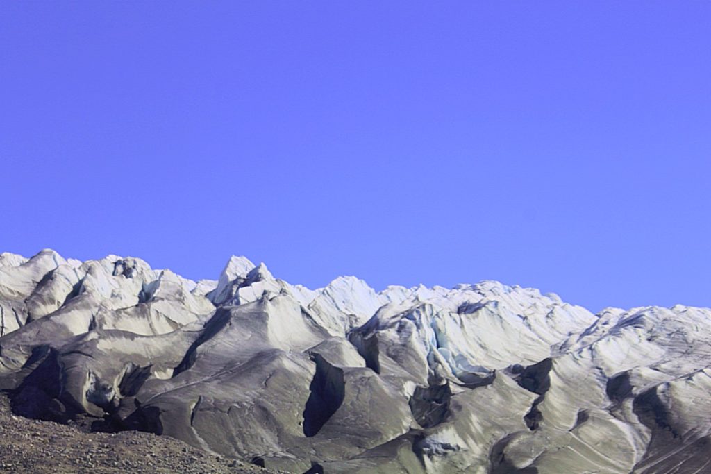
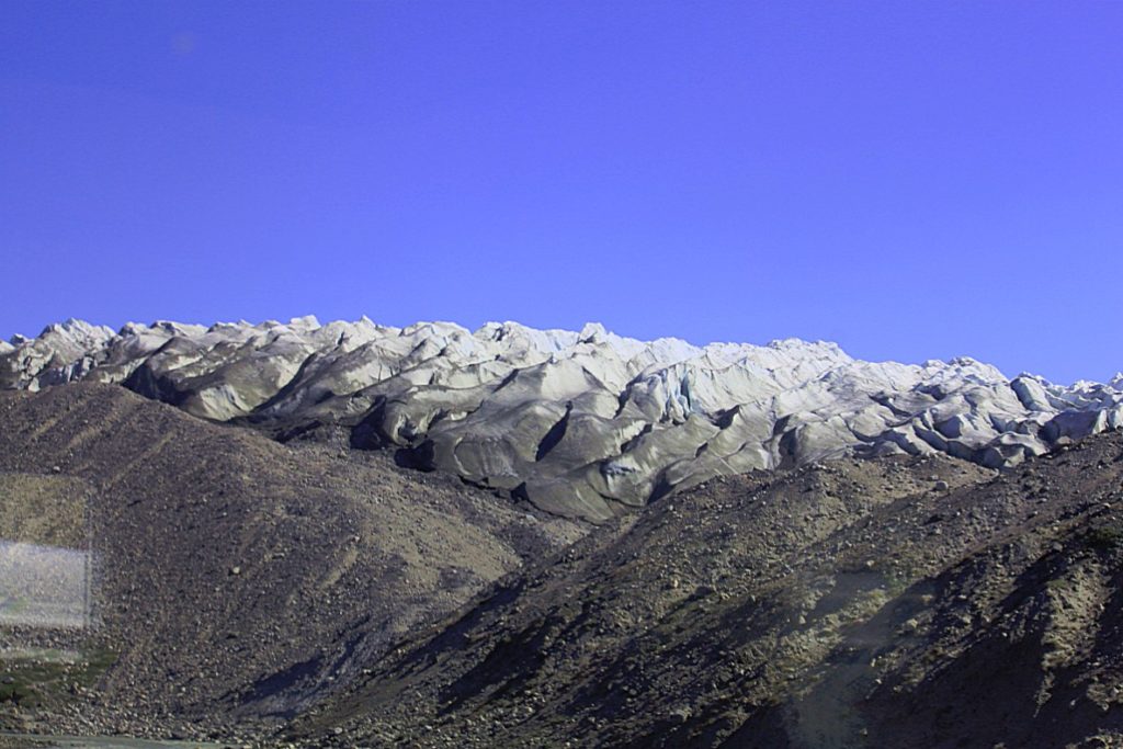
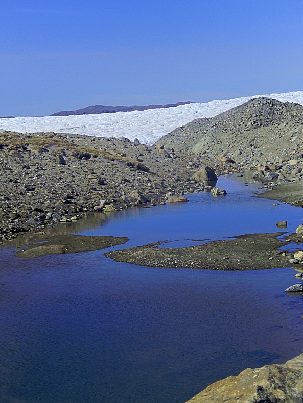
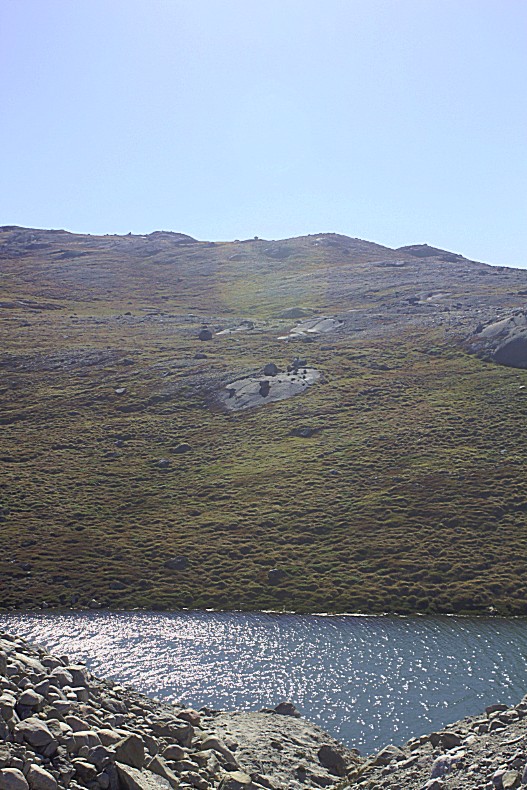
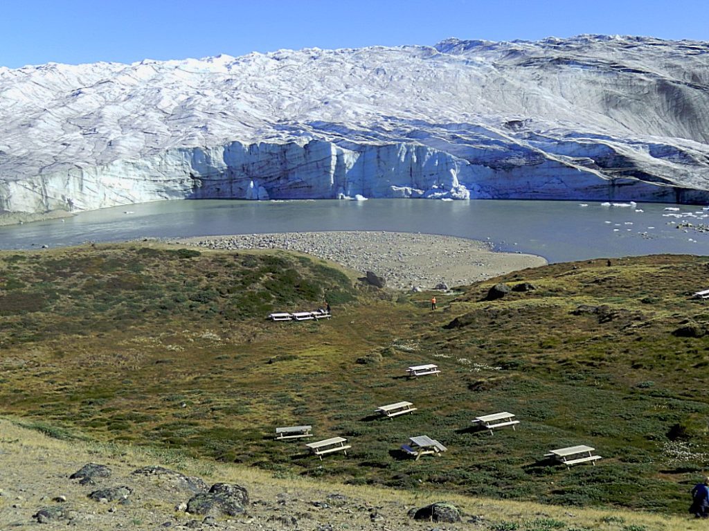
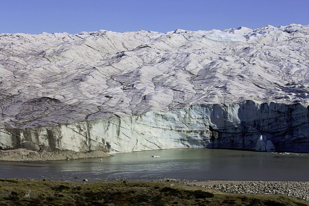
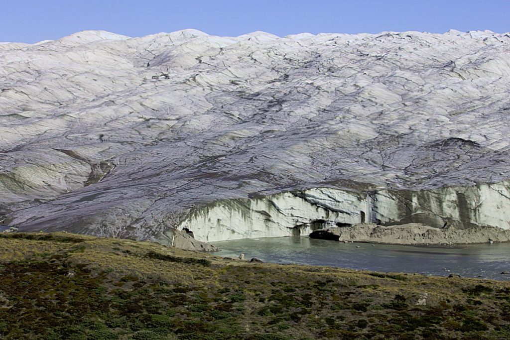
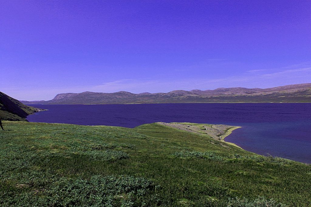 And after a short break at this beautiful blue melt water lake we drove on and passed the Russell Glacier that flows slowly from the edge of the ice sheet in the Isunngua highlands to its northeast.
Isunngua
Isunngua (old spelling: Isúngua) is a highland in the Qeqqata municipality in central-western Greenland, located immediately west of the Greenland Ice Sheet edge. In large part it is covered by the tundra, although in the immediate vicinity of the Sermersuaq ice sheet it gradually becomes exposed, barren, and largely devoid of life. The climate is polar continental, with the area receiving very little rainfall. Isunngua is a calving site for reindeer.
Geography
Isunngua is notable for a gravel road which leads through it towards the edge of the Greenland Ice Sheet, located 40 km (25 mi) east of Kangerlussuaq, and due to trivial approach it remains a popular tourist target, although very few hikers make the journey on foot, or explore the neighboring glaciers.
The highland is bounded from the north by the Isunnguata Sermia glacier, from the south by Russell Glacier and Aajuitsup Tasia lake, and from the west by Sanningasoq twin lake.
Both glaciers flow to the west from the ice sheet, which constrains Isunngua from the east. The average height of the highland hills is approximately 500–530 metres (1,640–1,740 ft). The highland is dotted with freshwater lakes, kettles, and meltwater outflow lakes saturated with glacial silt.
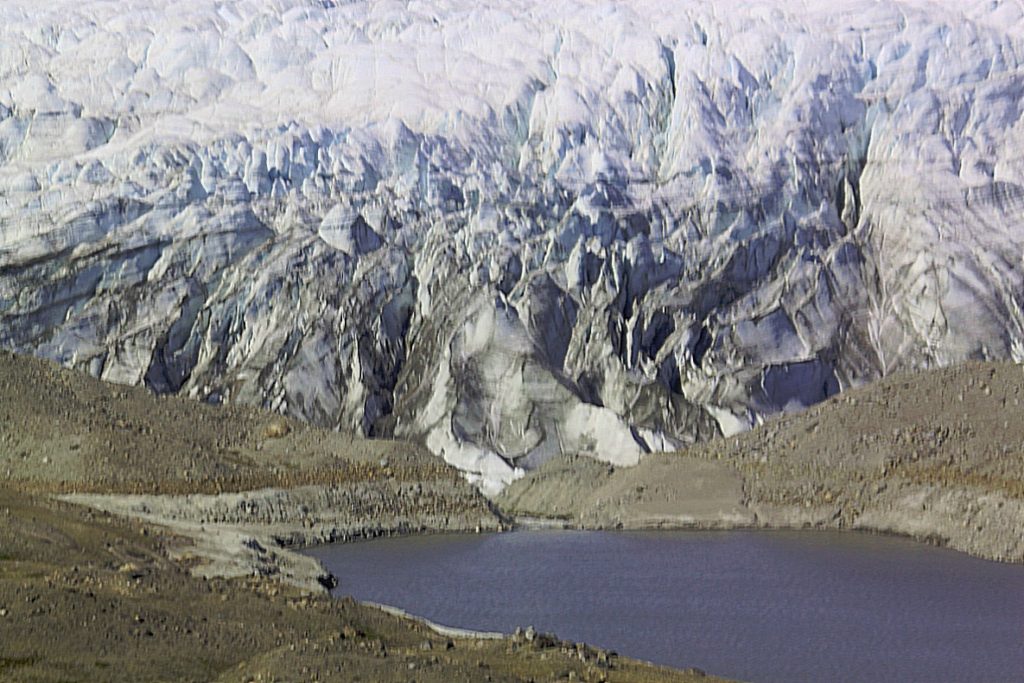
Russell Glacier I
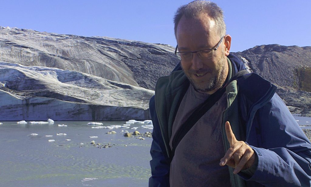
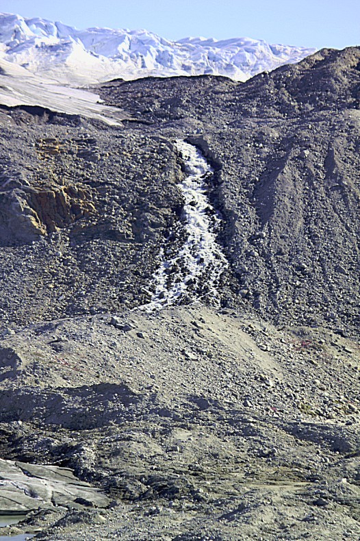
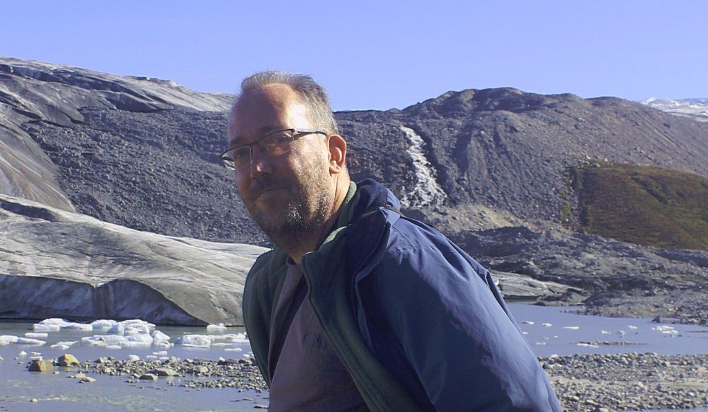
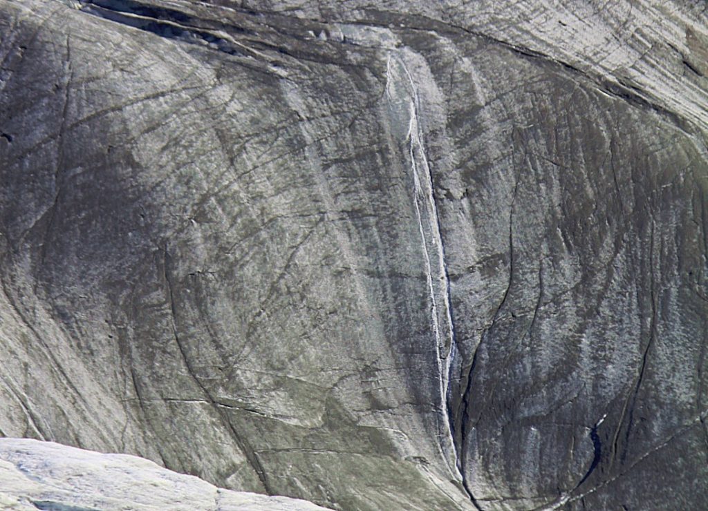
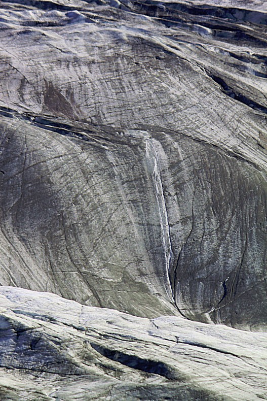
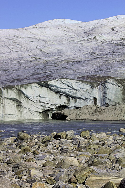
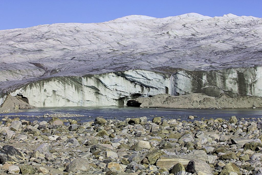
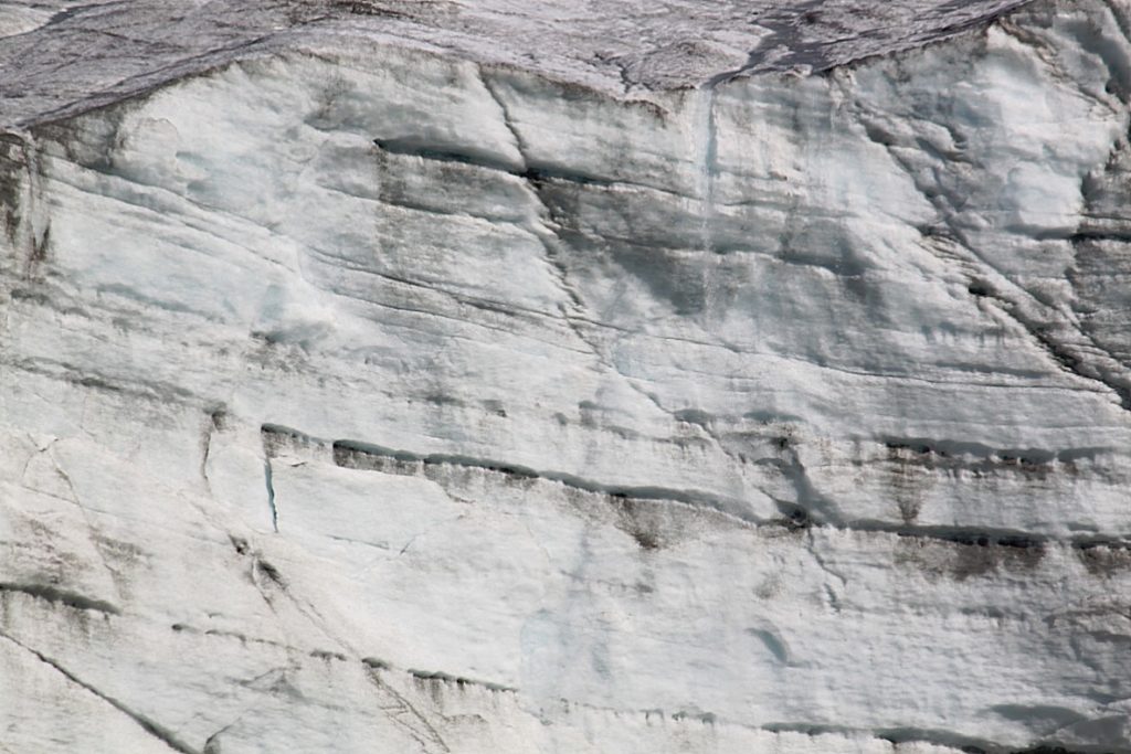
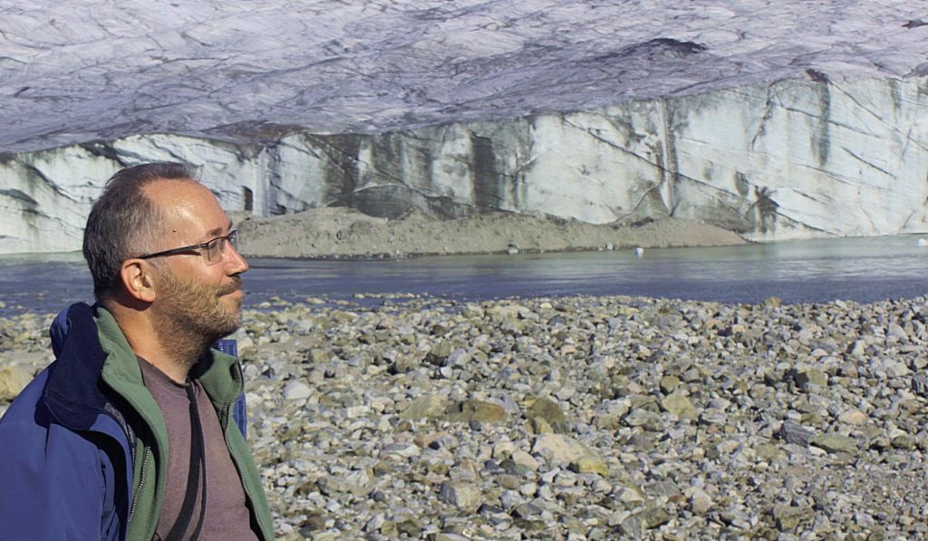
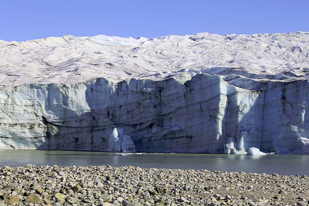
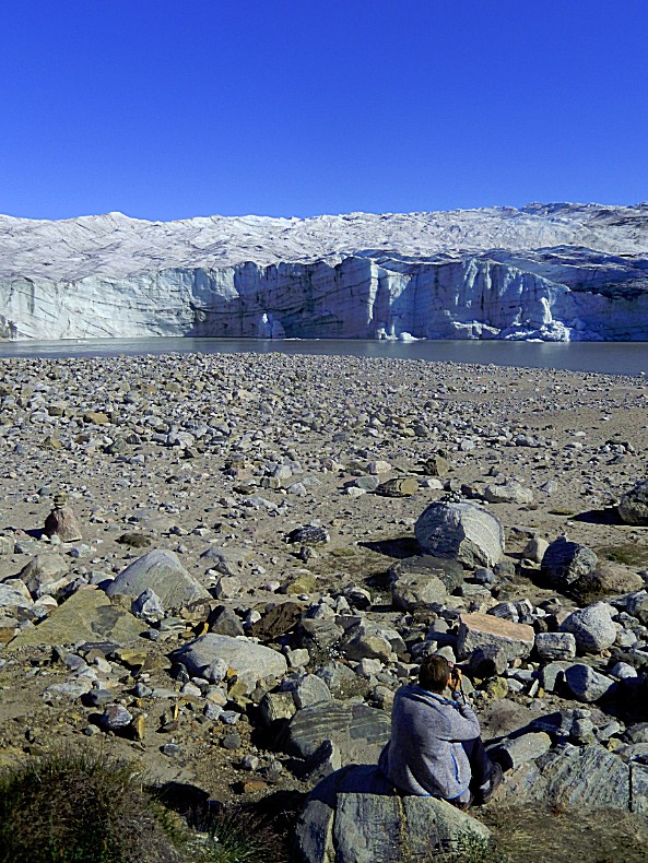
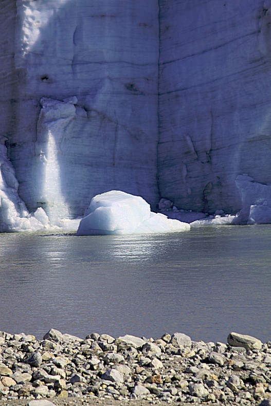
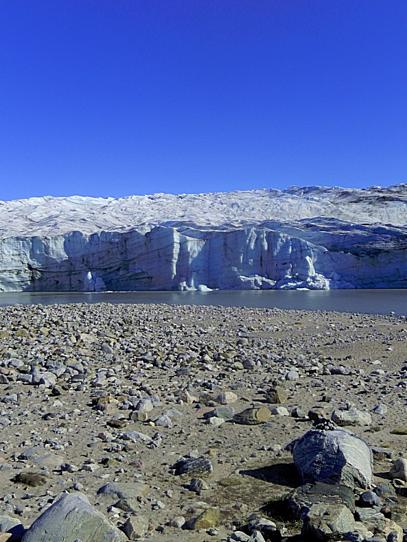
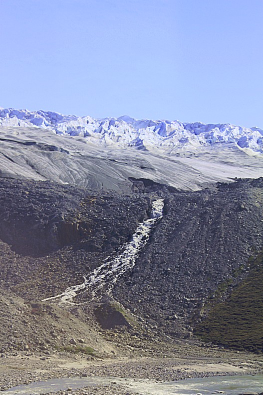
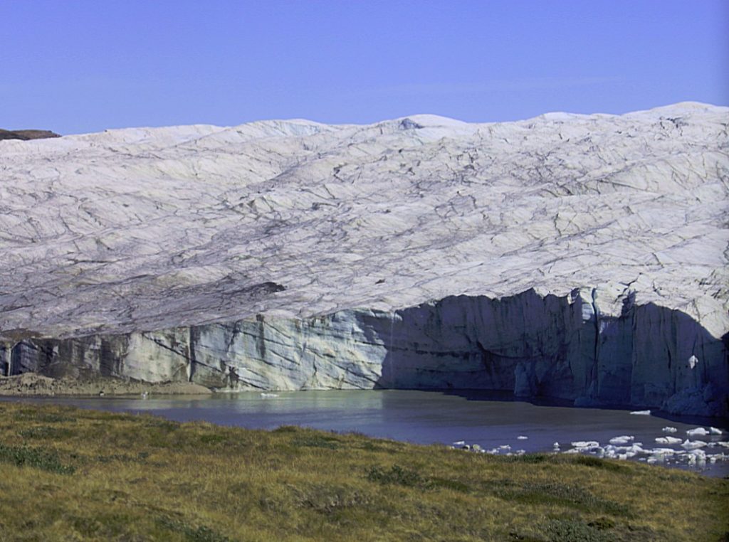
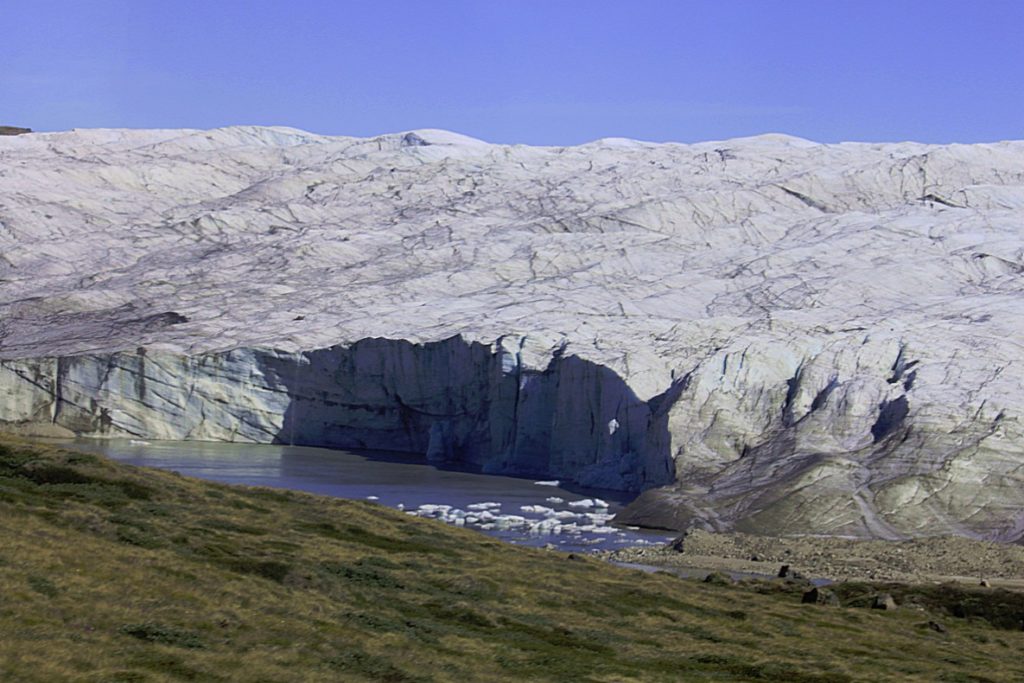
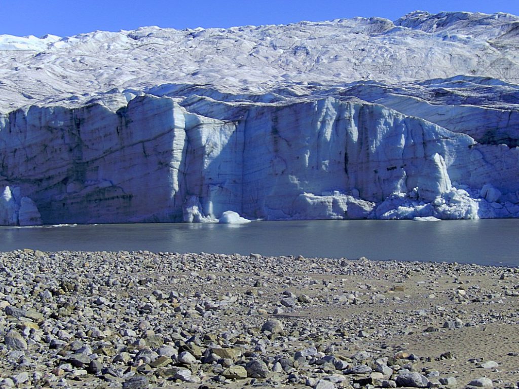
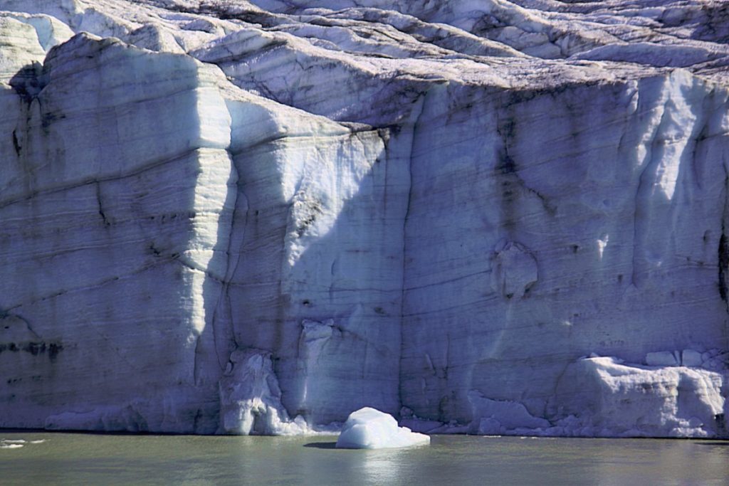
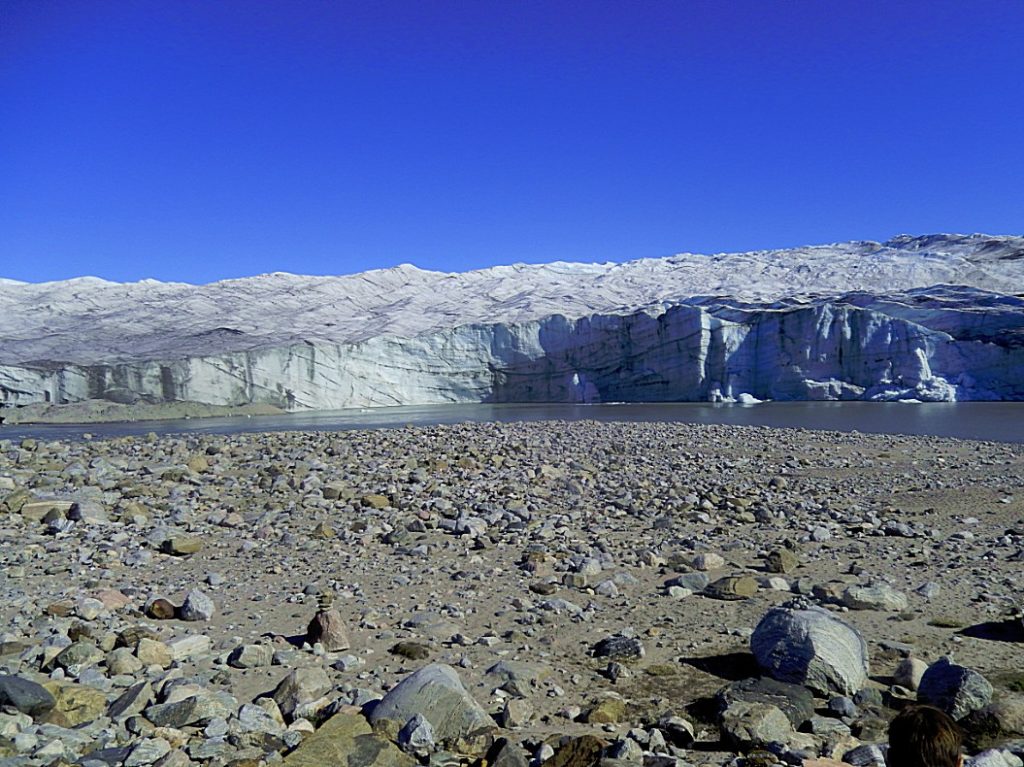
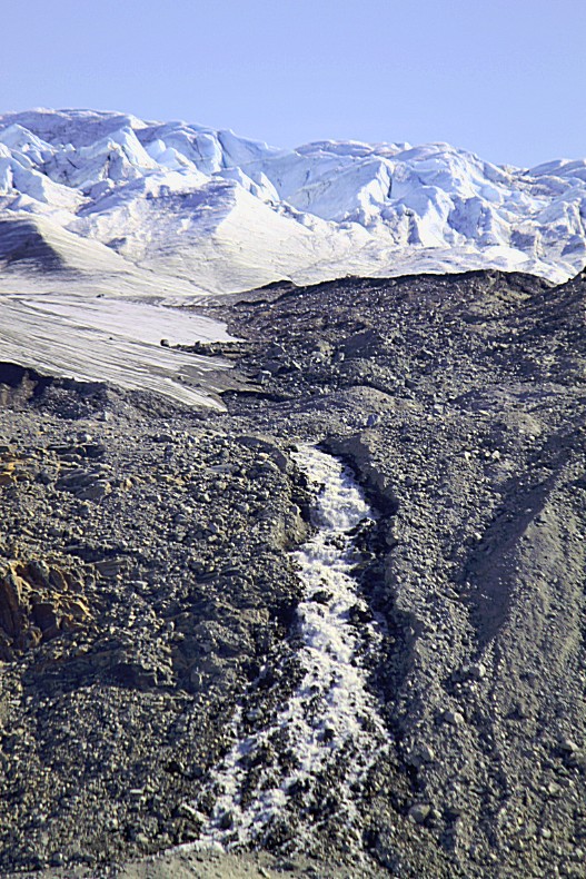
There is a beautiful viewpoint near the glacier, but there were already three busloads of travellers at the glacier and our guide/driver advised us to move on to the inland icesheet where we would be allone and go to the Russell glacier on the way back. So we drove on and saw the Russell glacier and its many waterfalls from our truck…
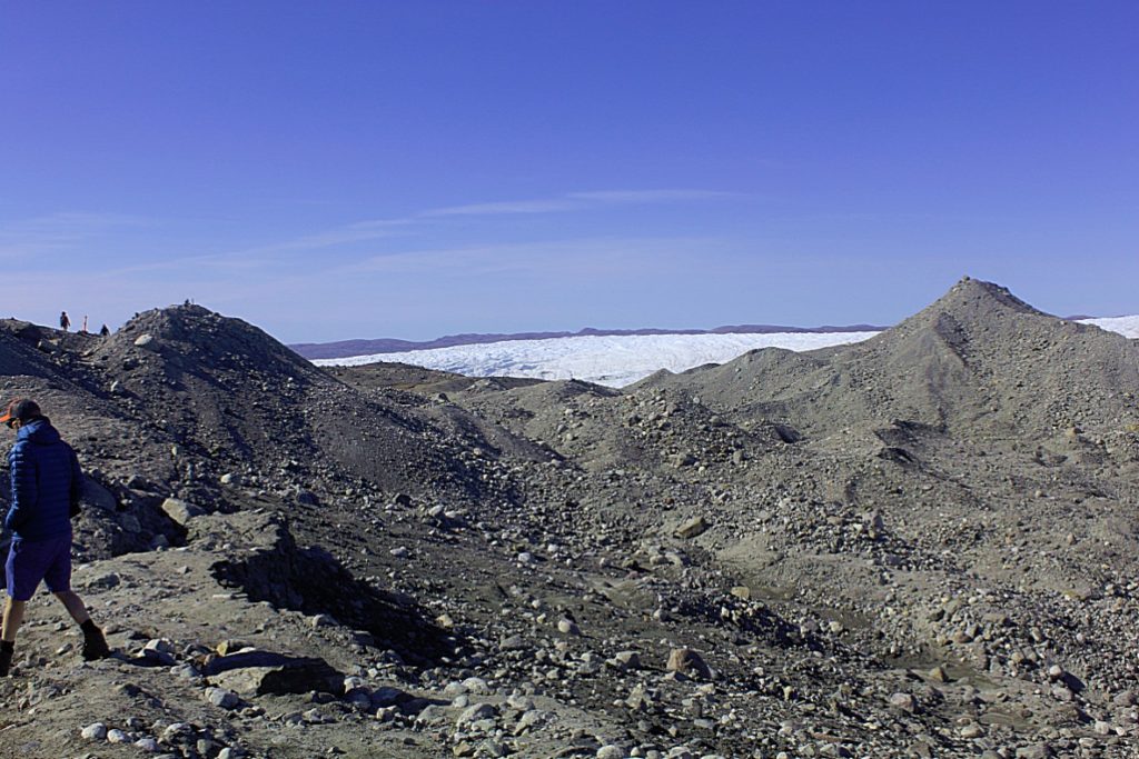
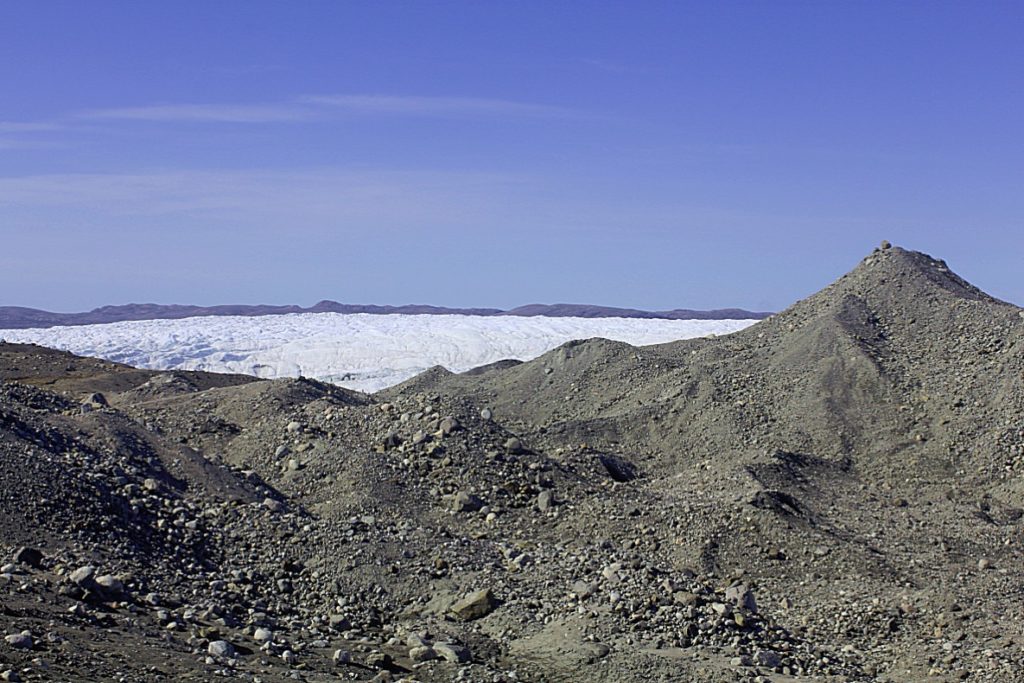
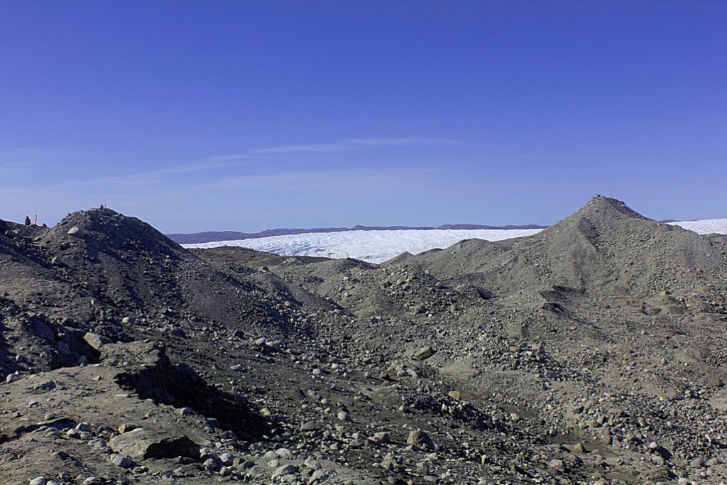
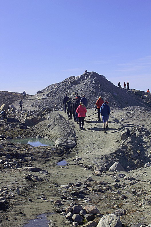
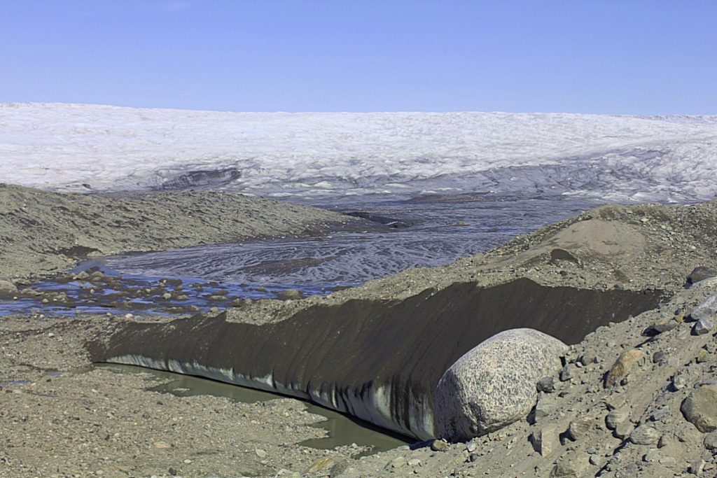
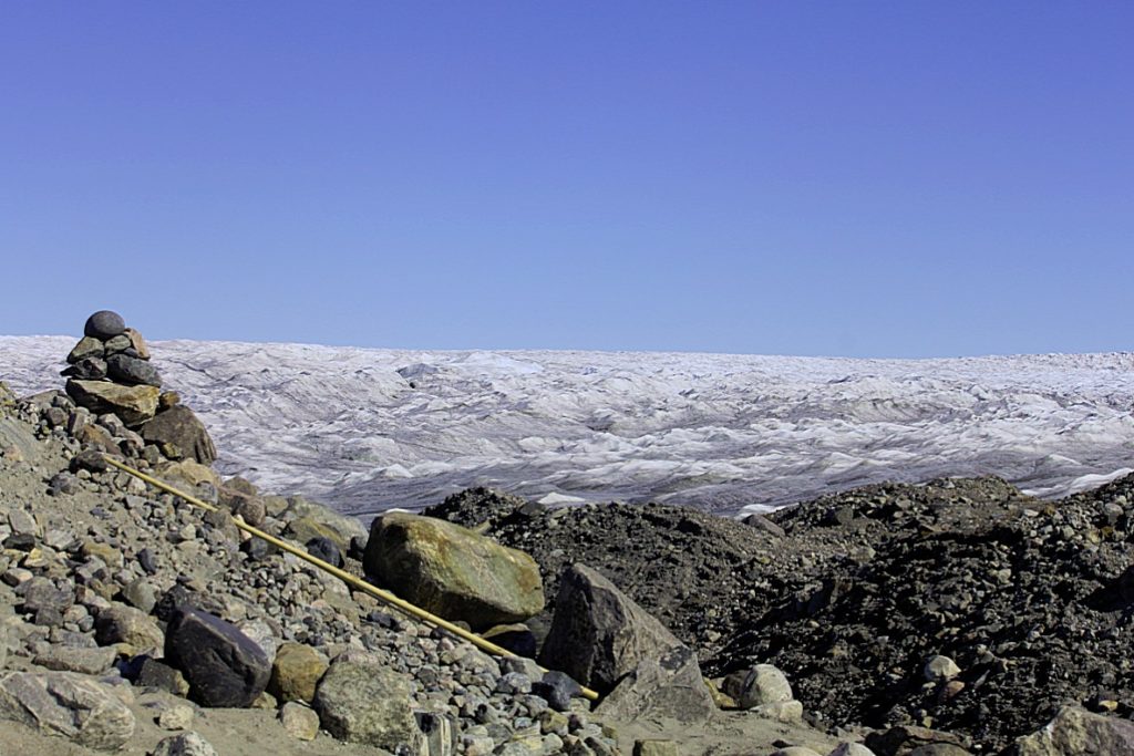
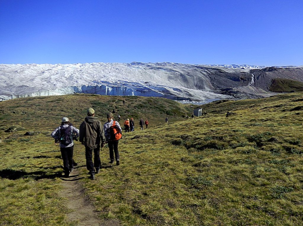
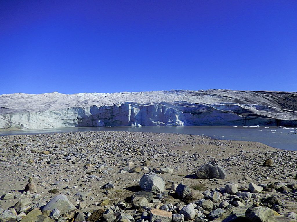
Then we reached the end of the gravel road at a big moraine field. Here we started our hike towards and on the glacier.
The Moraines I
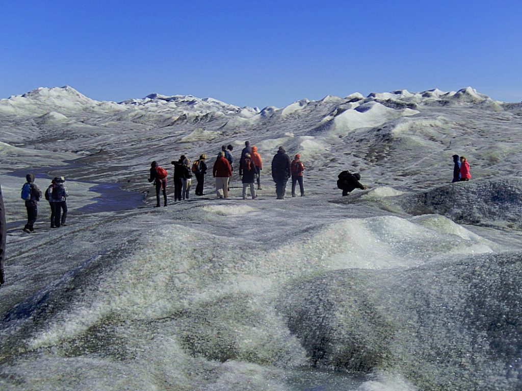
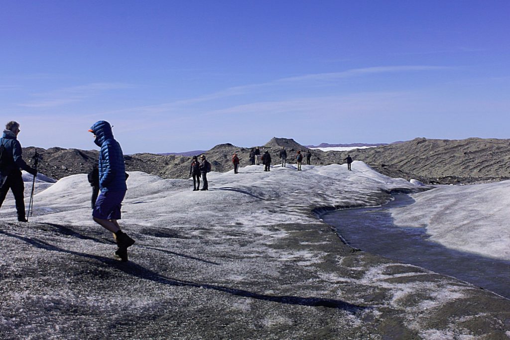
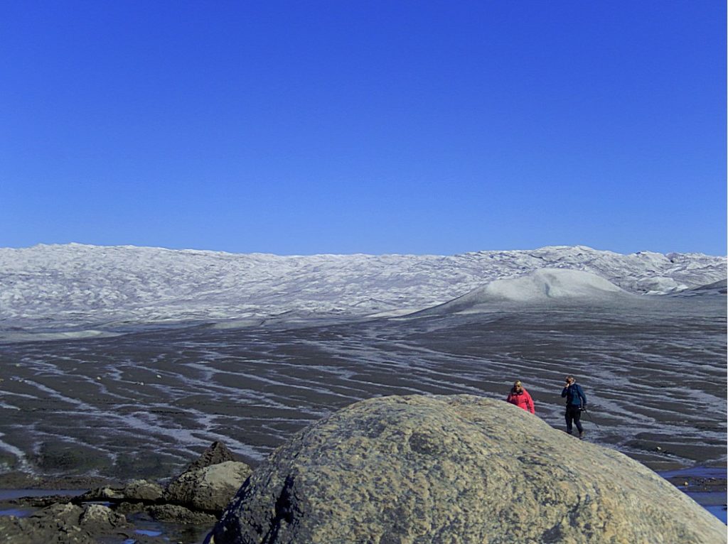
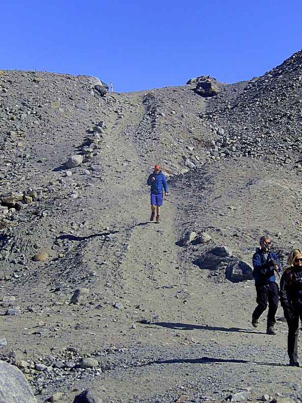
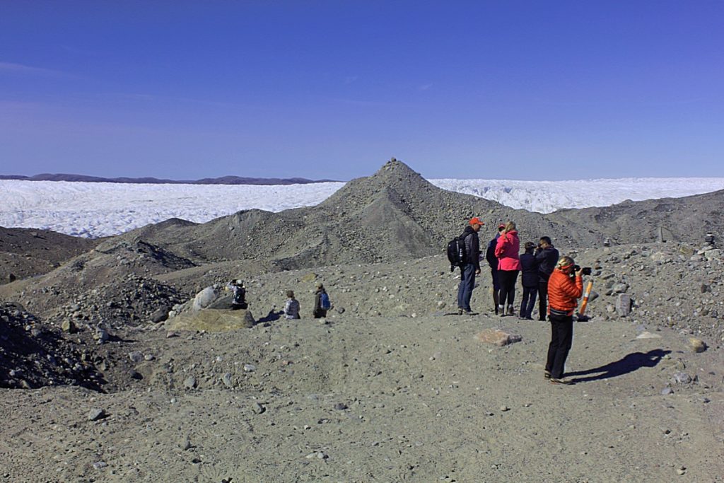
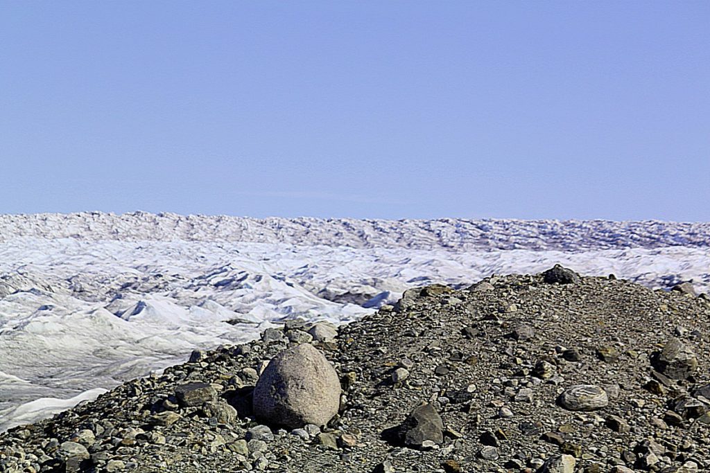
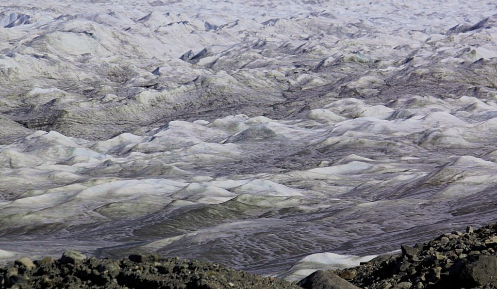
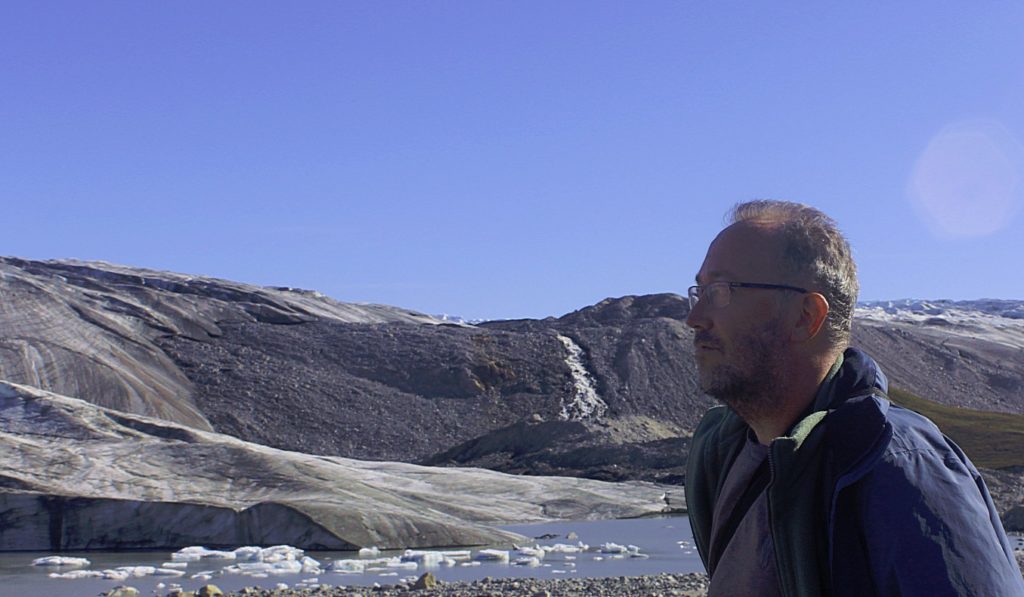
The first part of the hike, getting on top of the moraines was quite steep, but then the view became nothing less than spectacular…
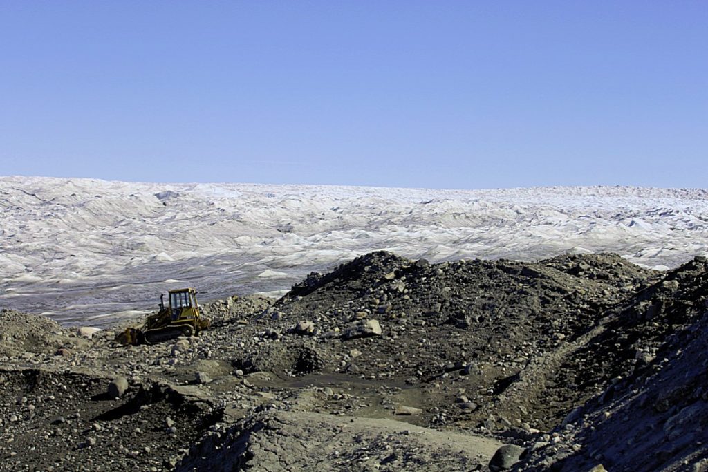
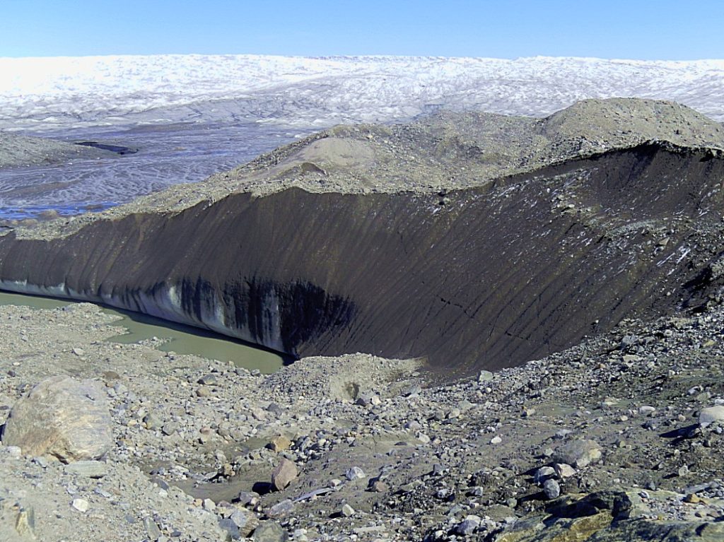
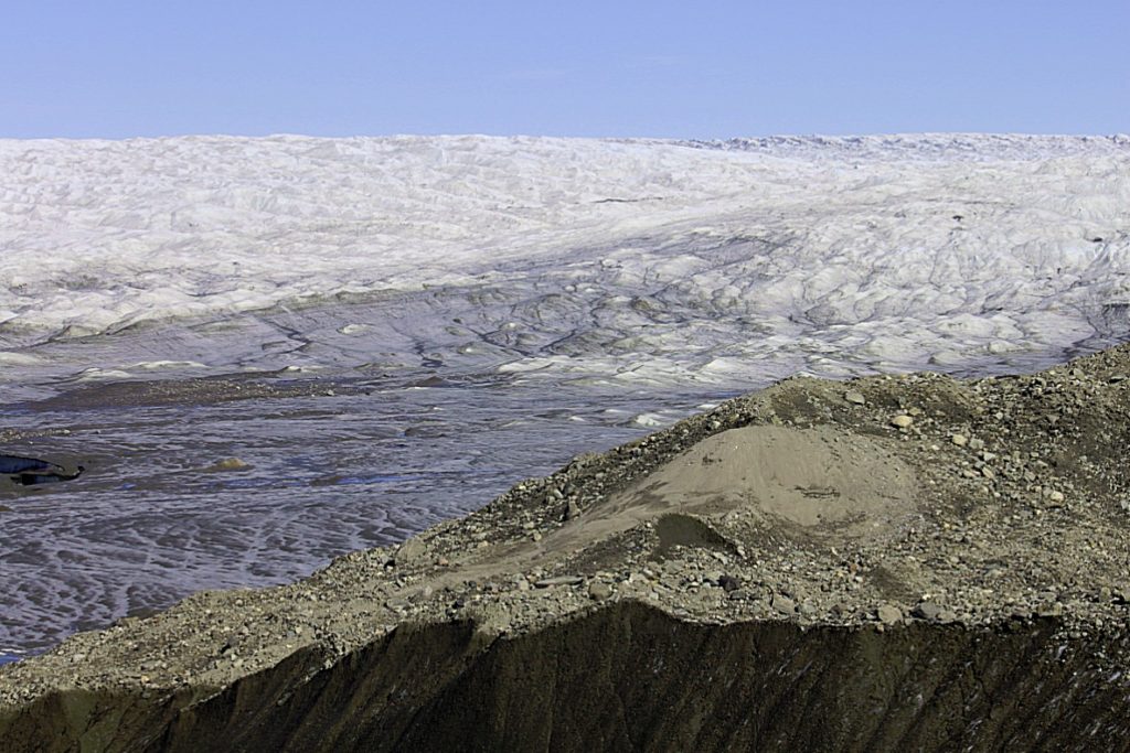
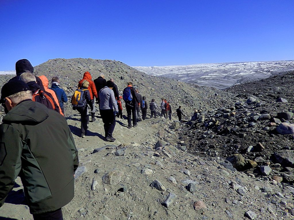
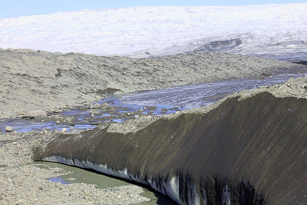
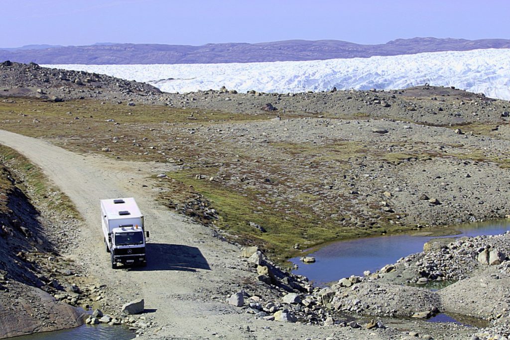
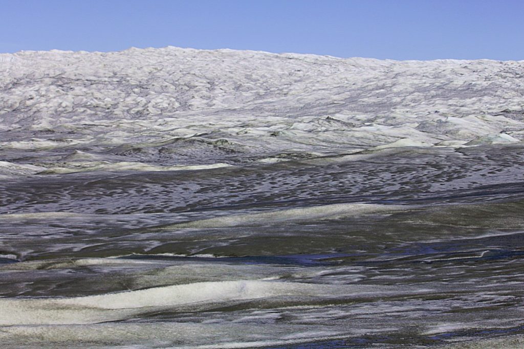
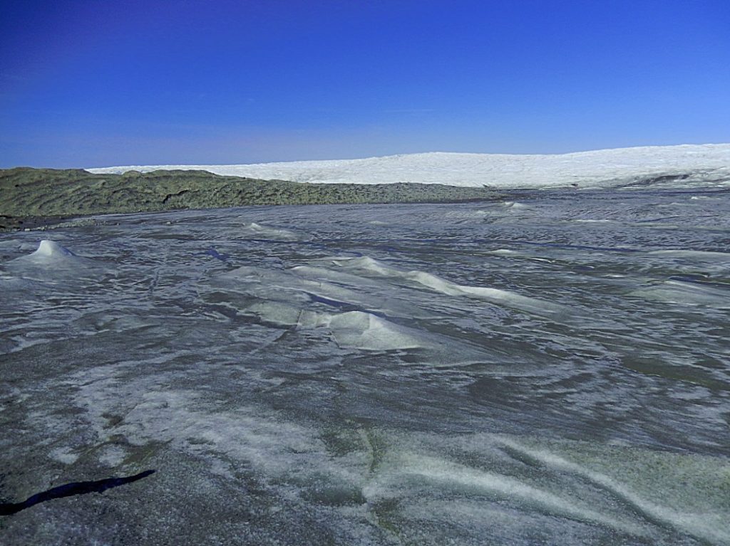
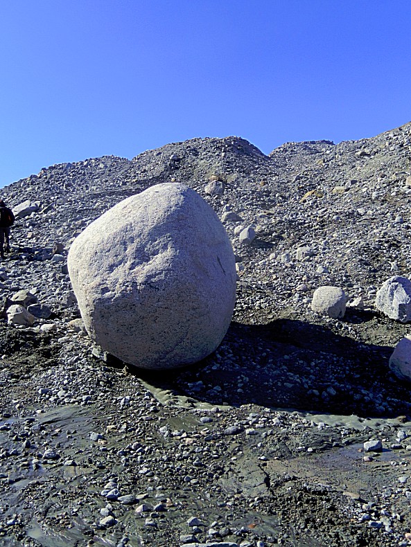
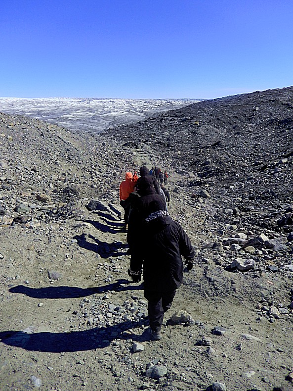 Nothing grows on the moraines, because of the freezing cold winds that come straight from the ice…
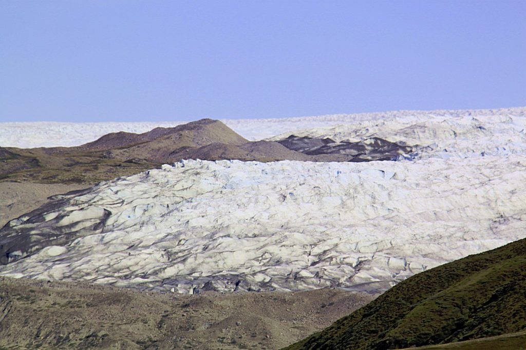
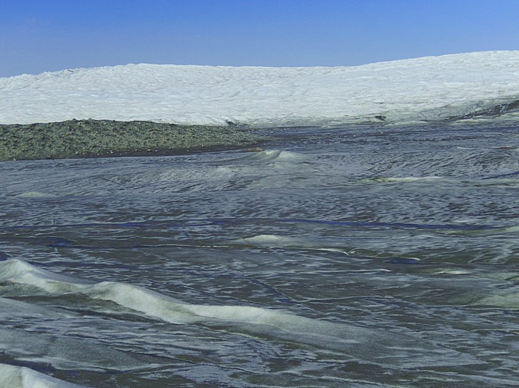
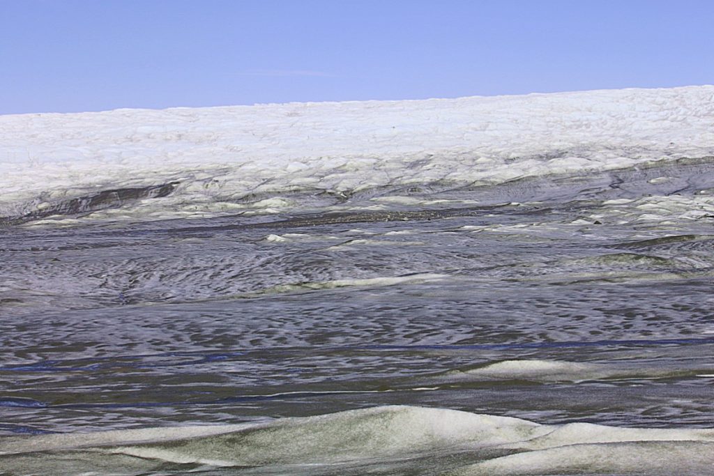
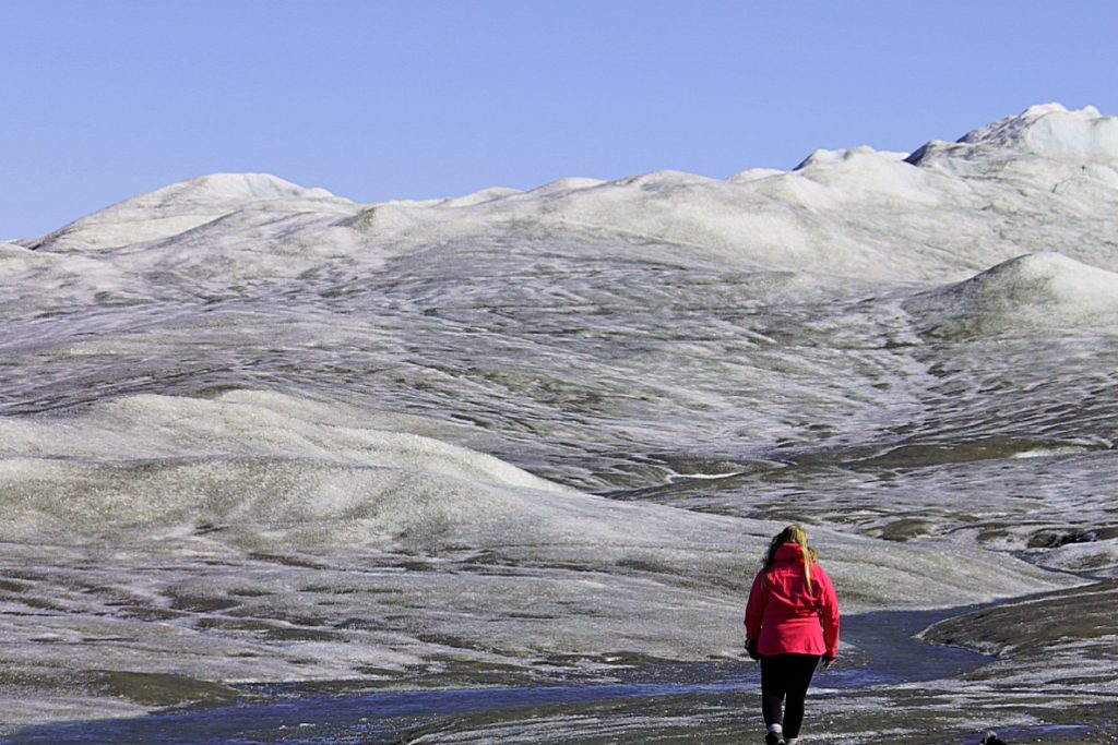
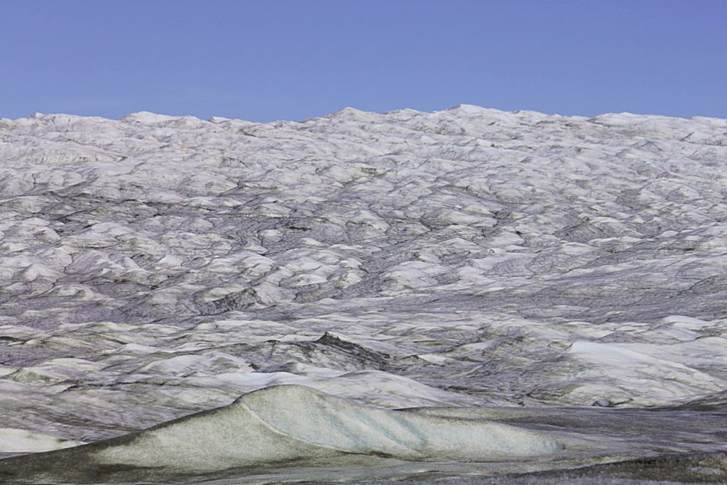
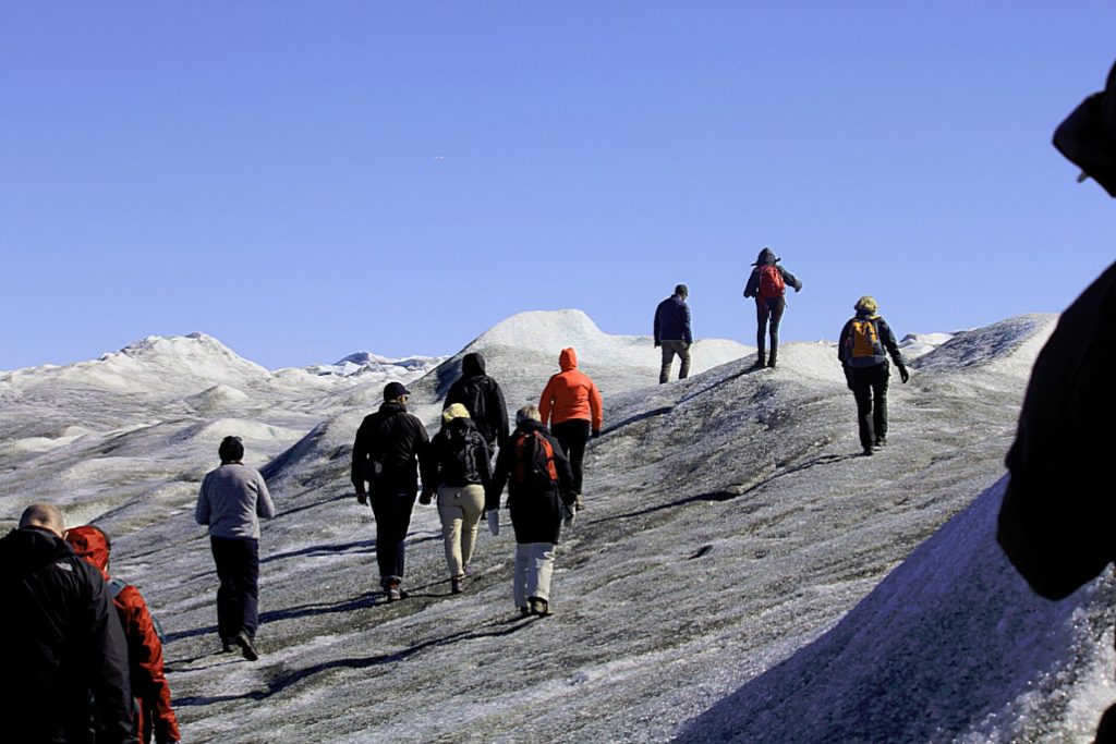
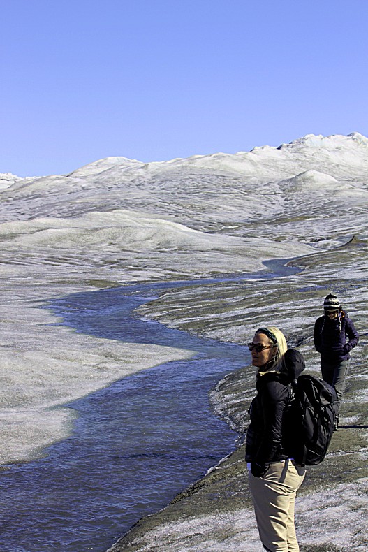
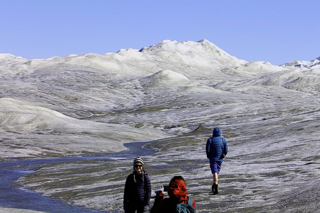
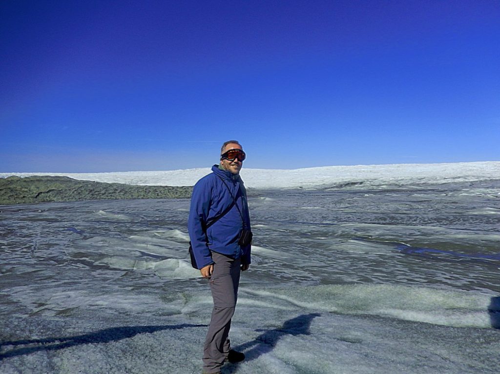
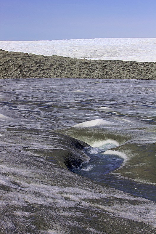
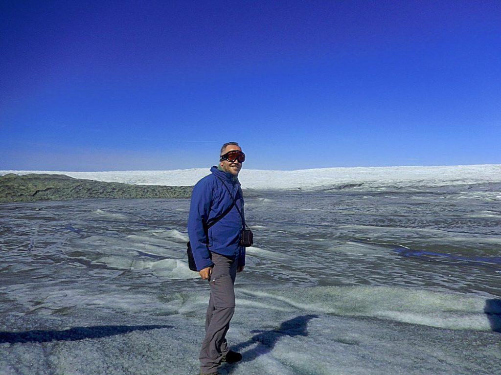
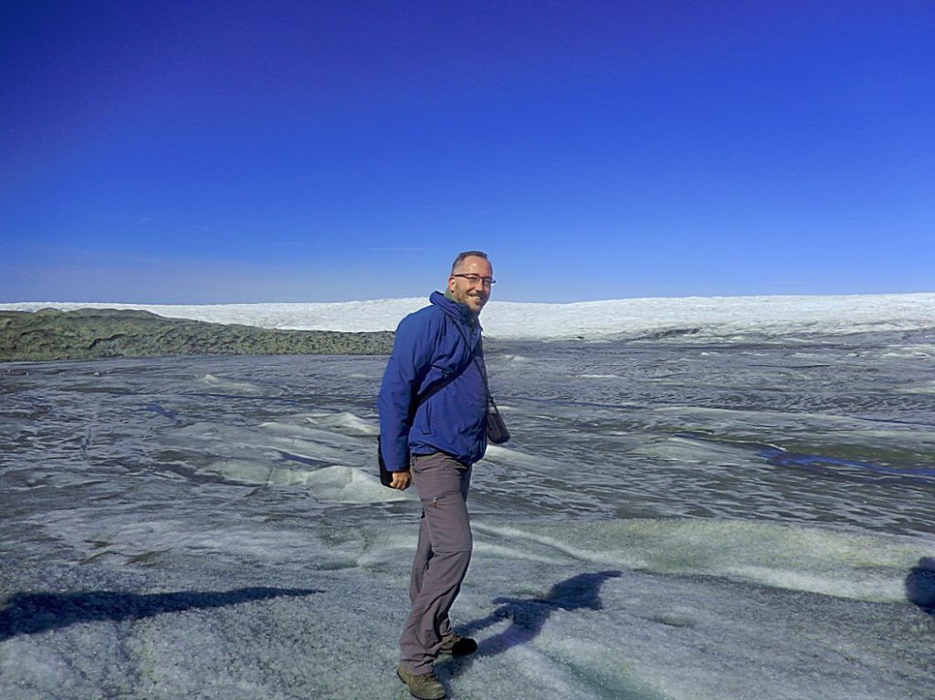
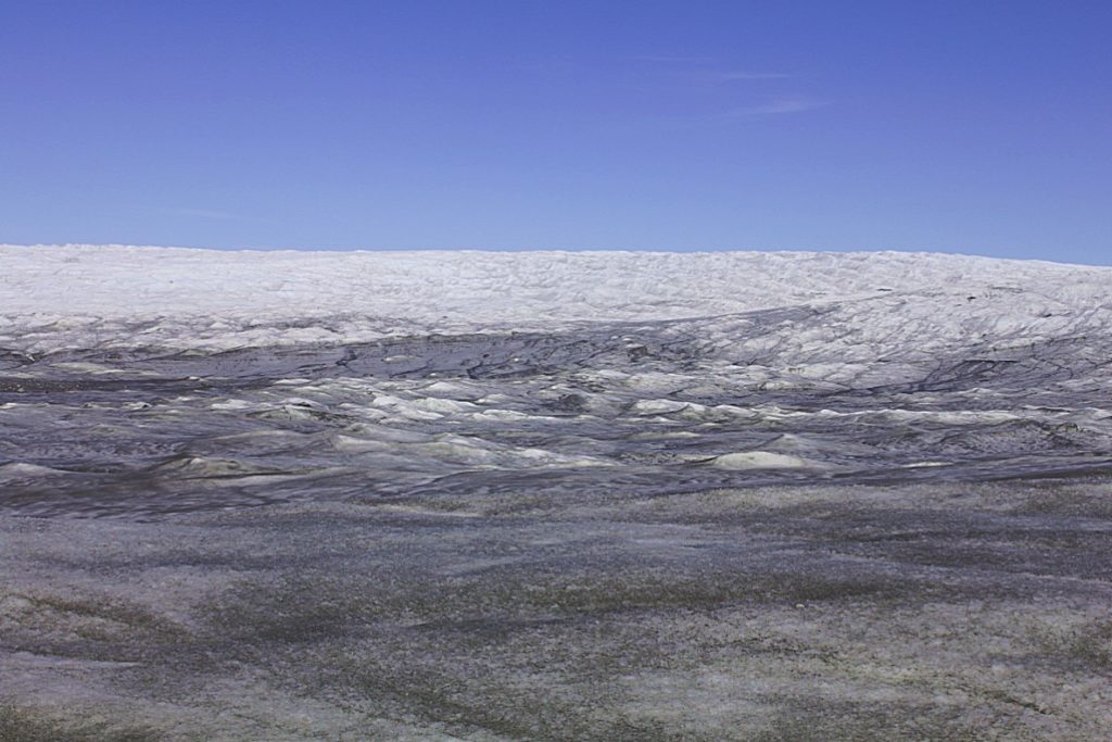
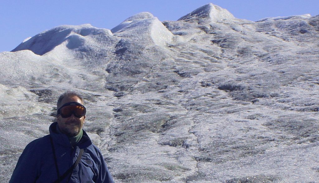
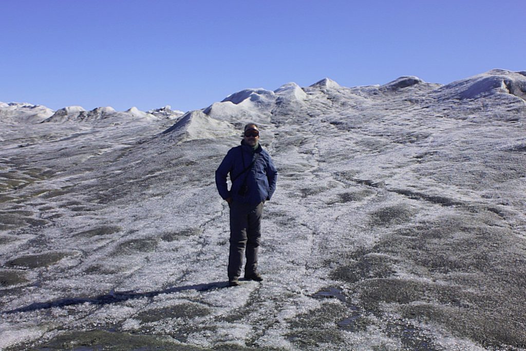
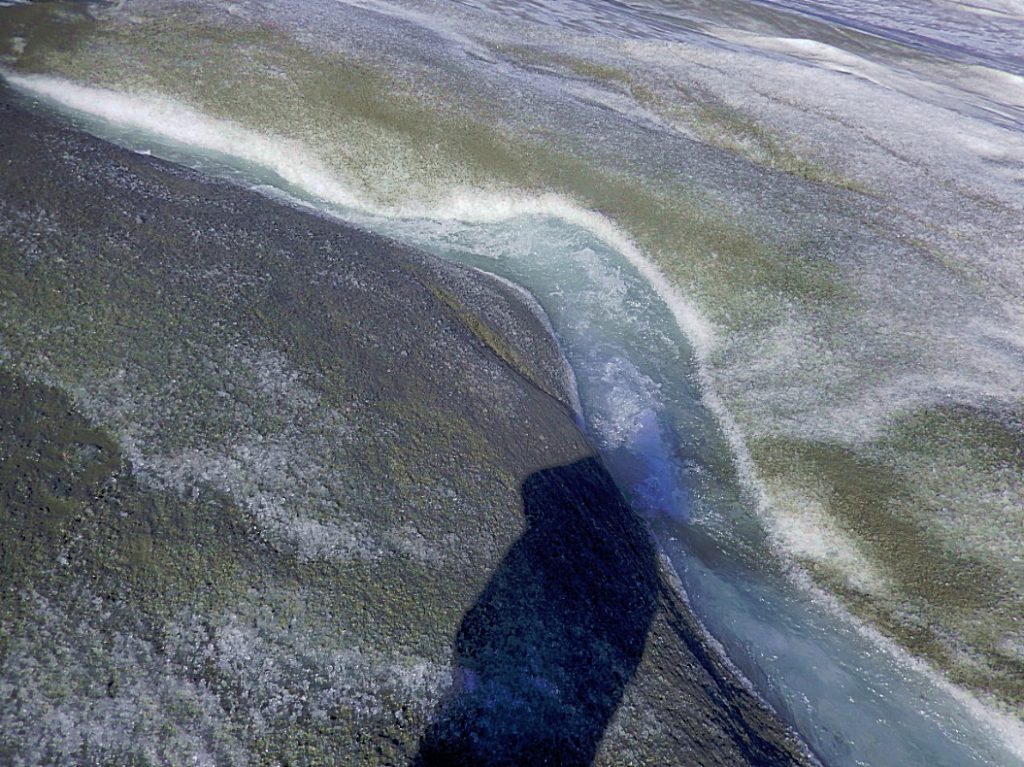
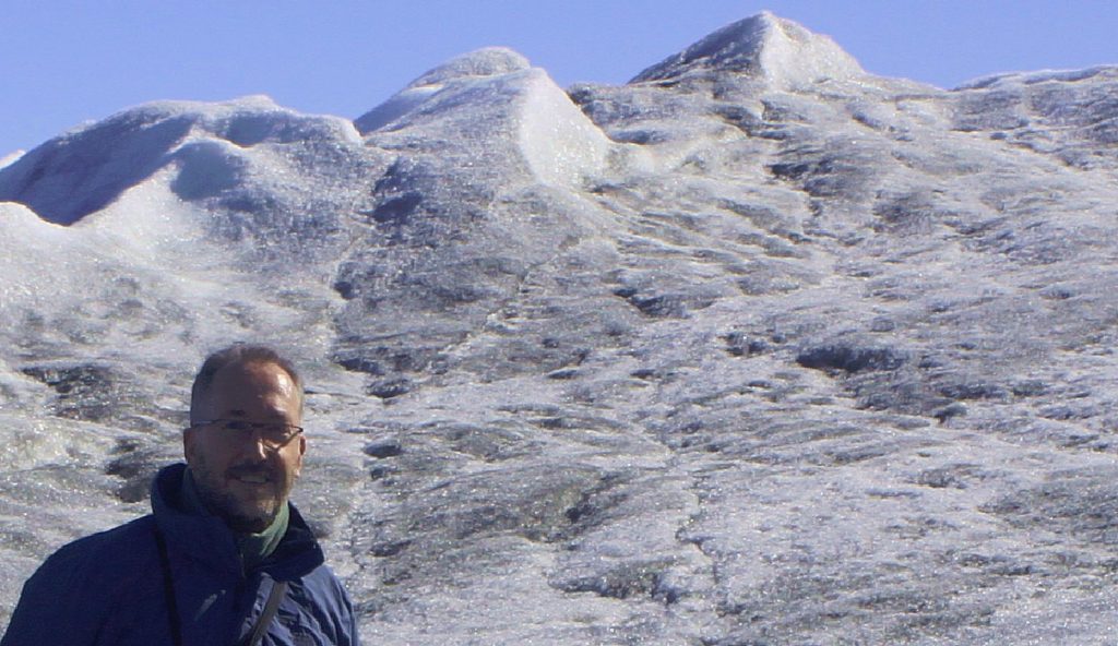
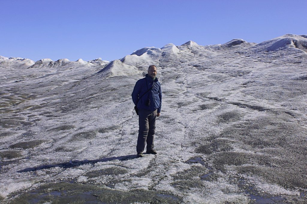
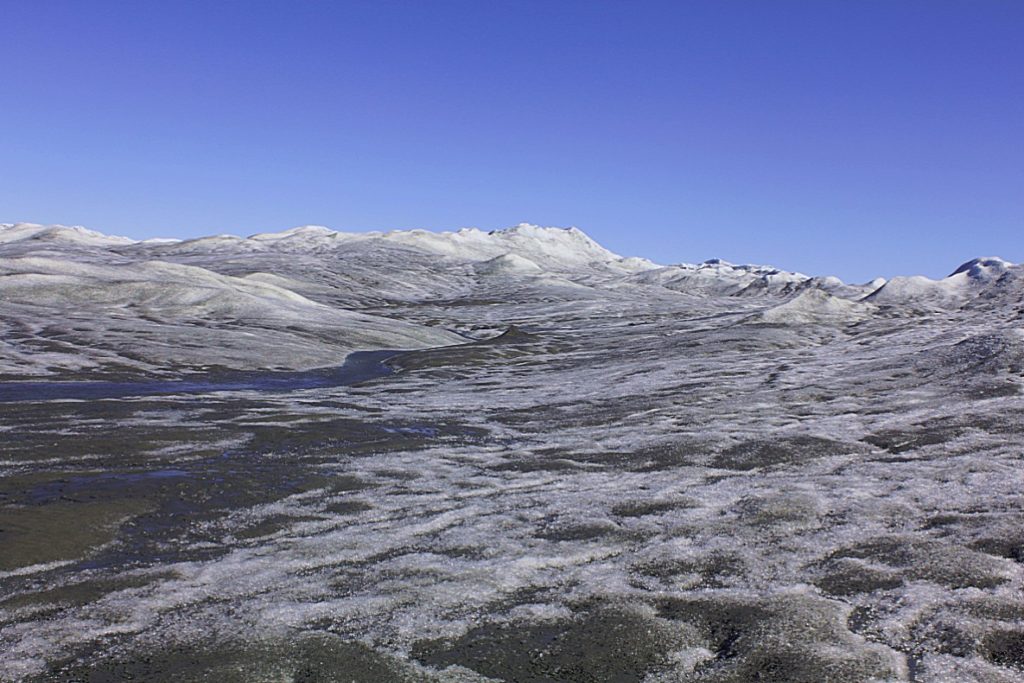
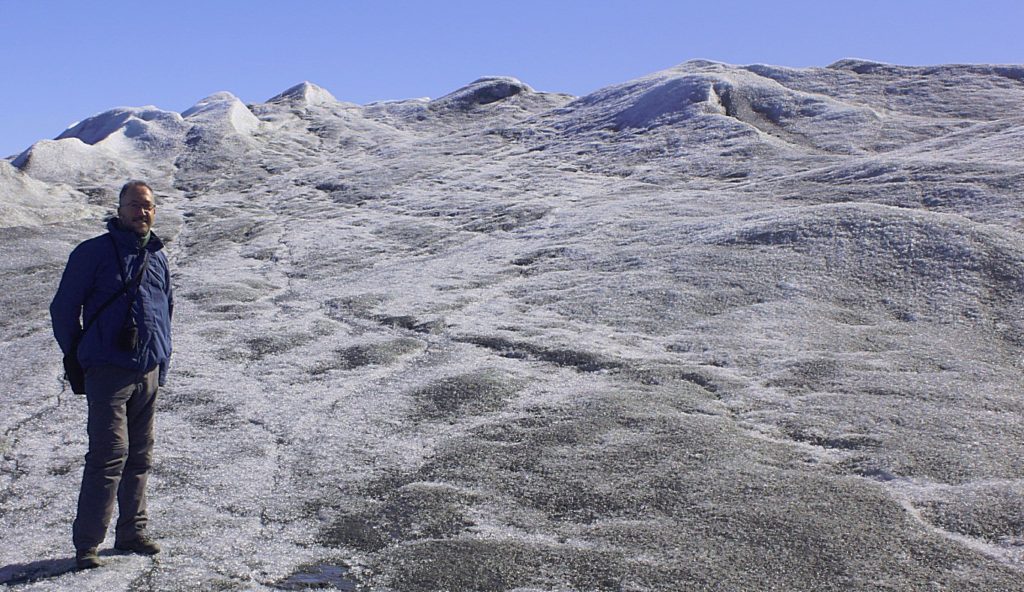
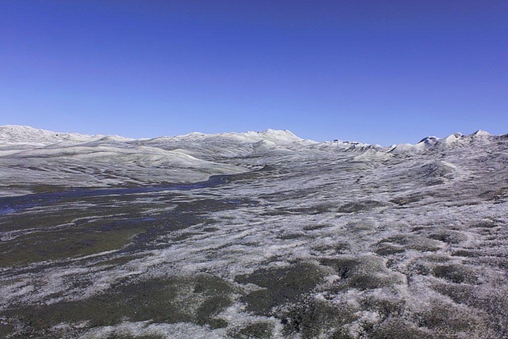
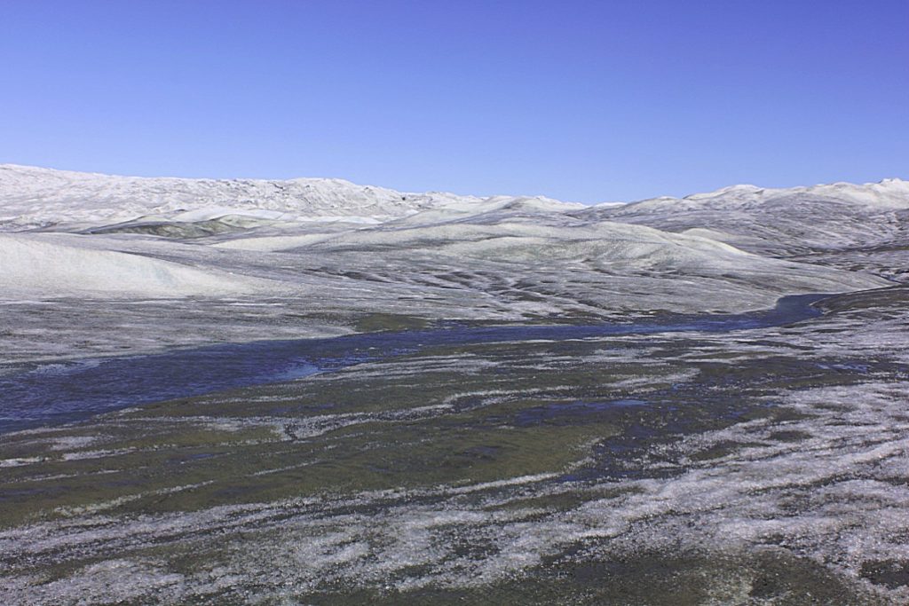
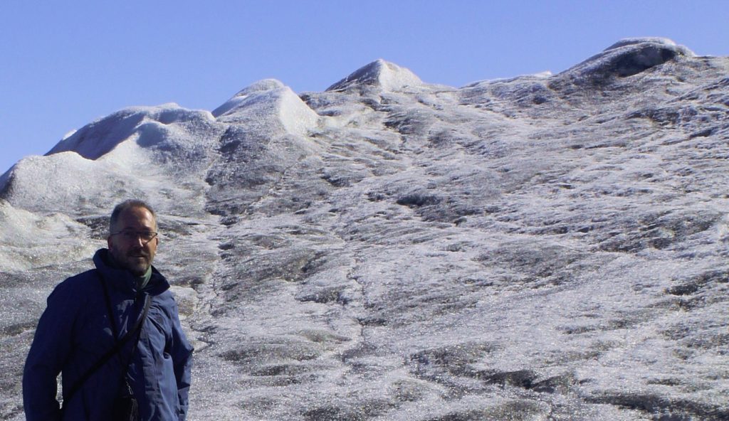
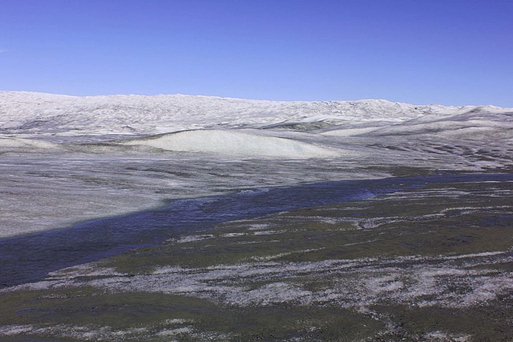
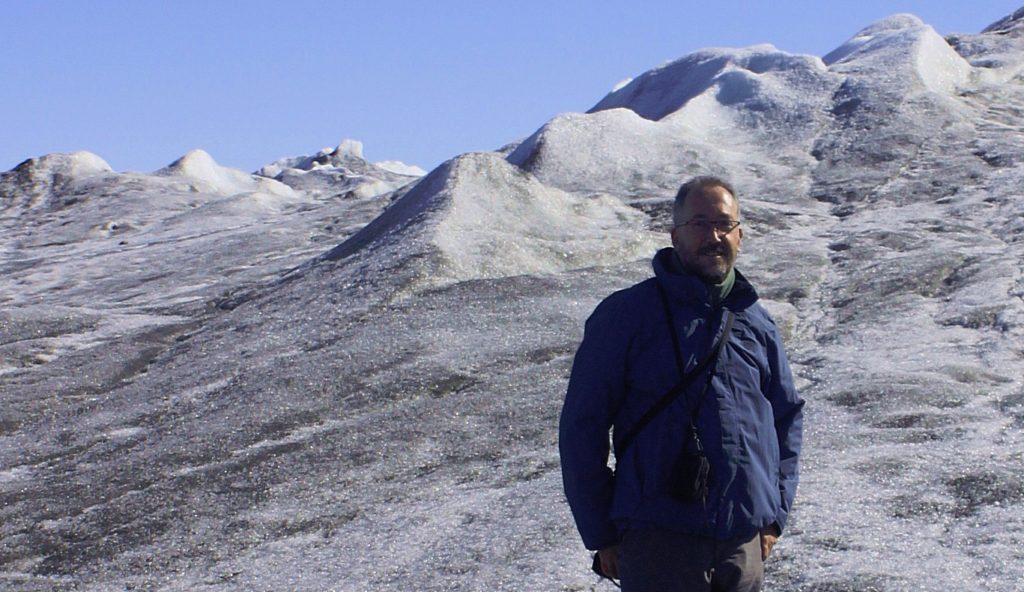
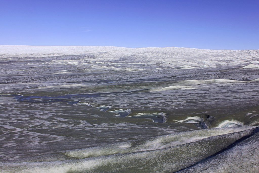
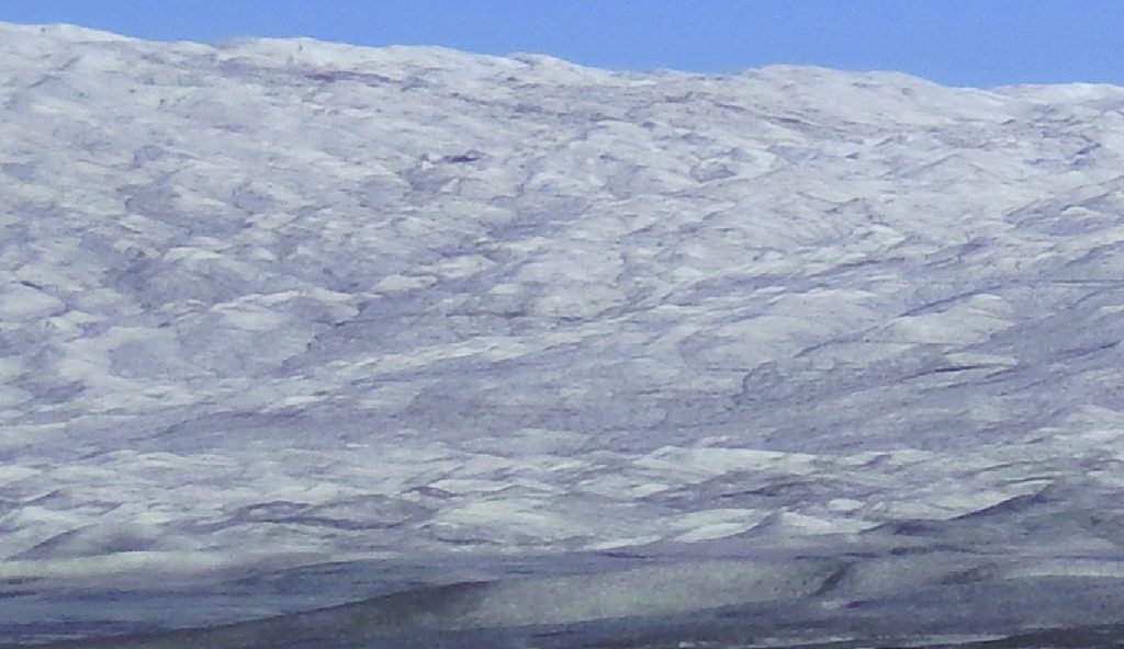
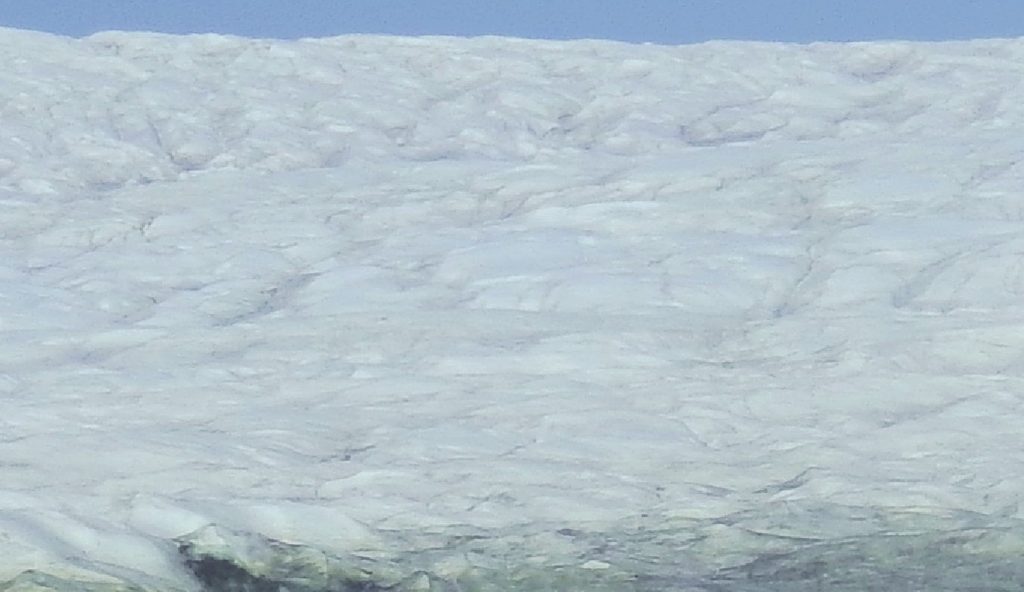
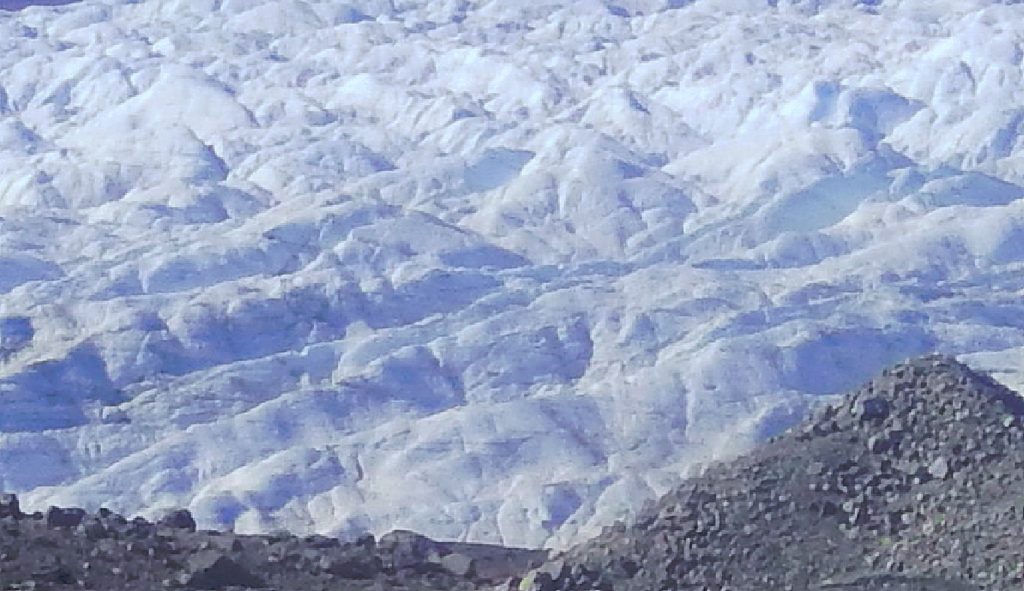
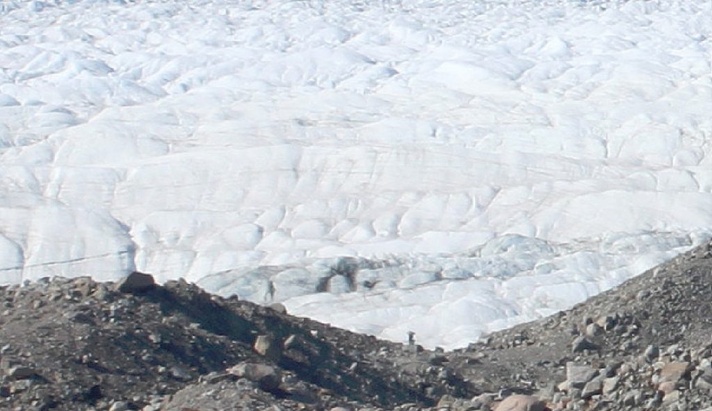
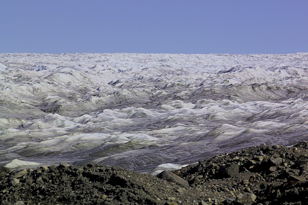
The inland icesheet
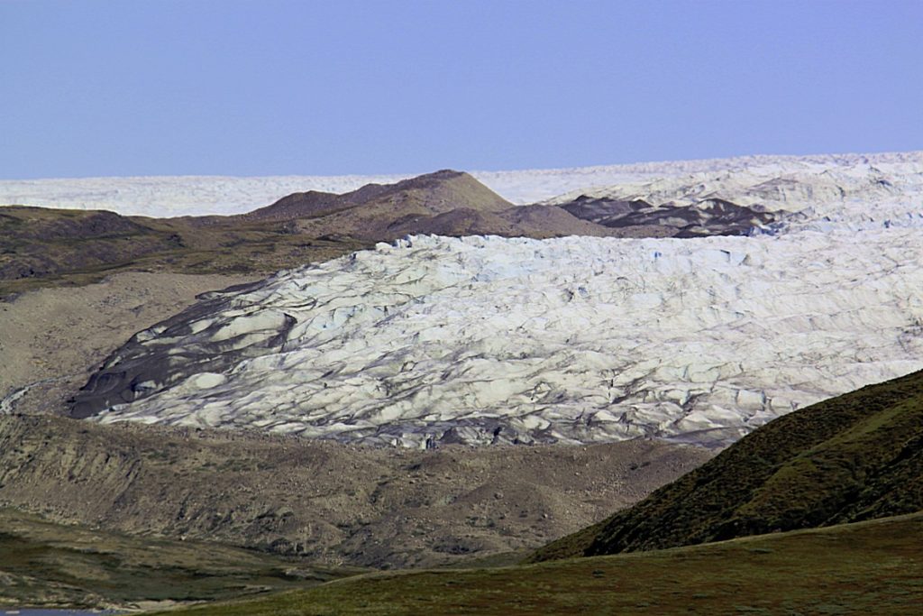
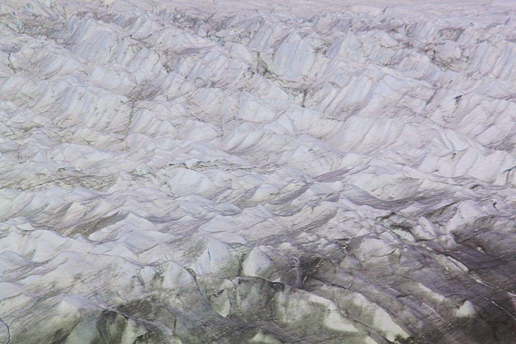
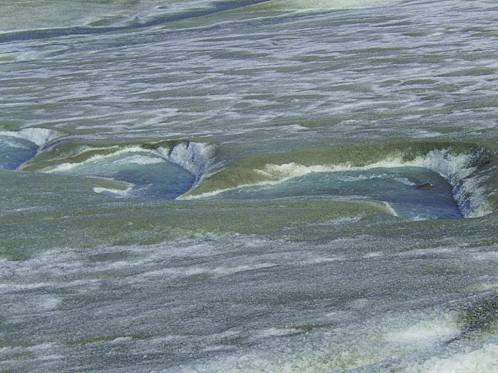
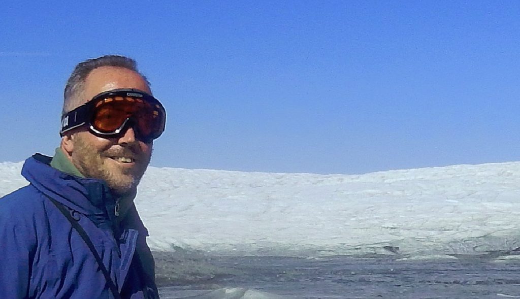
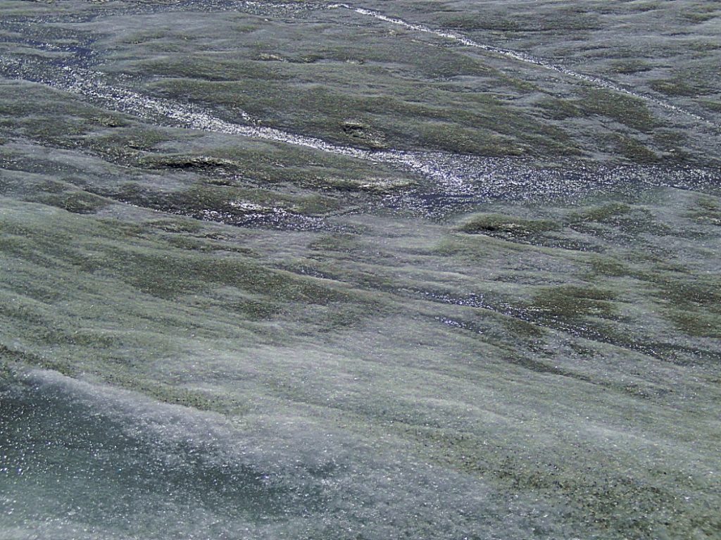
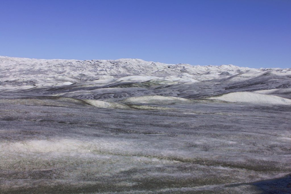
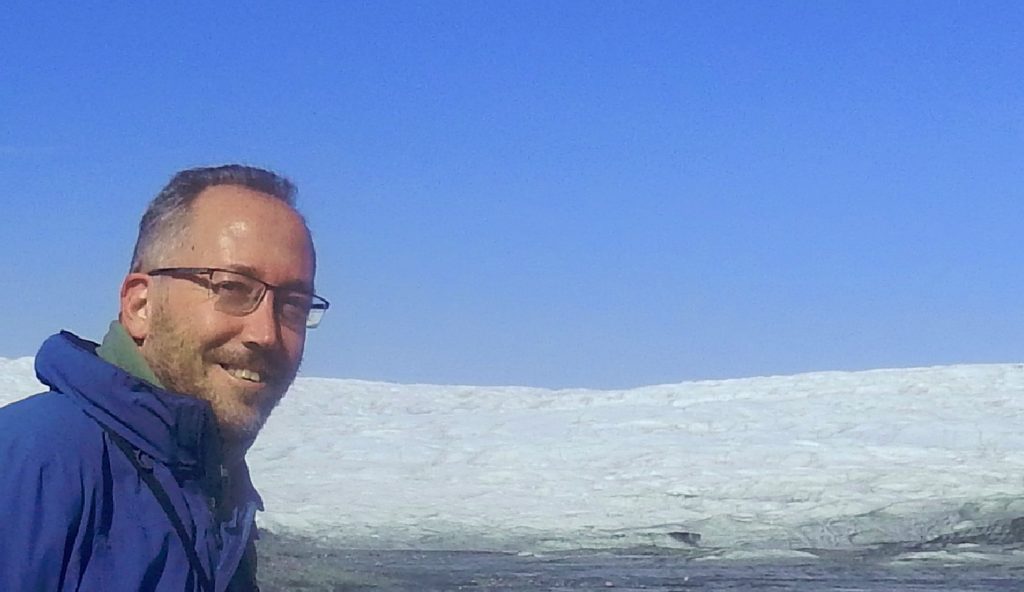
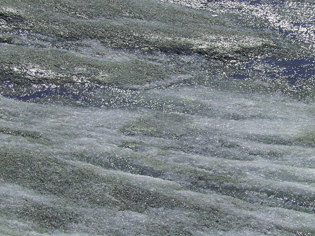
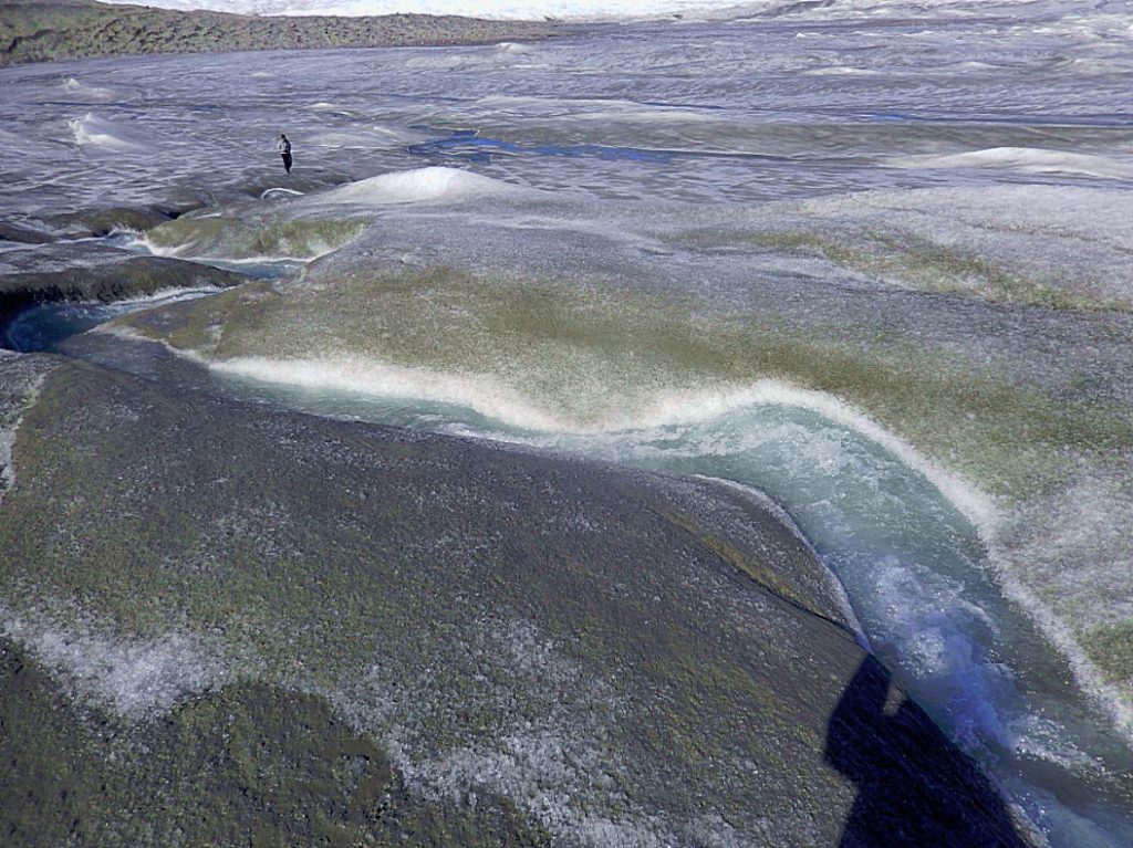
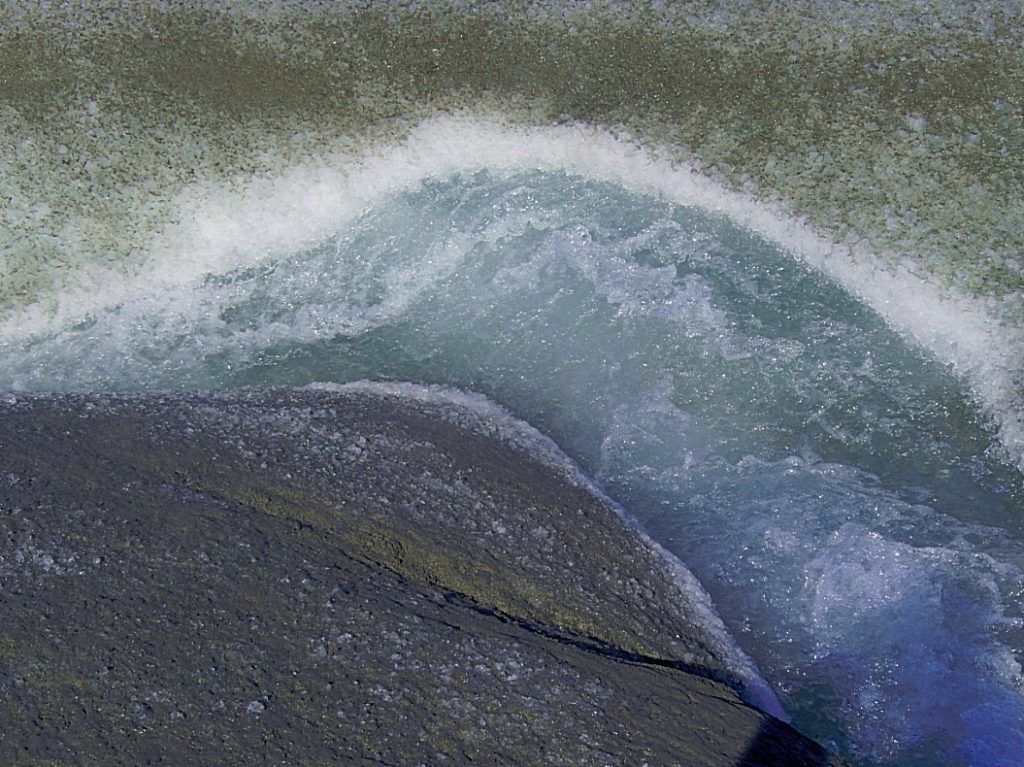
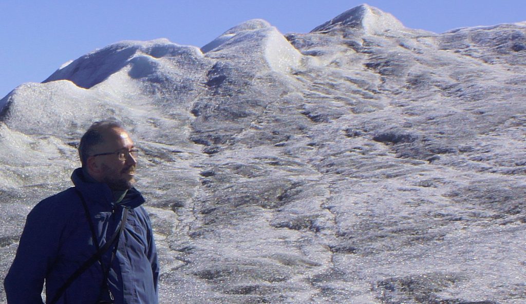
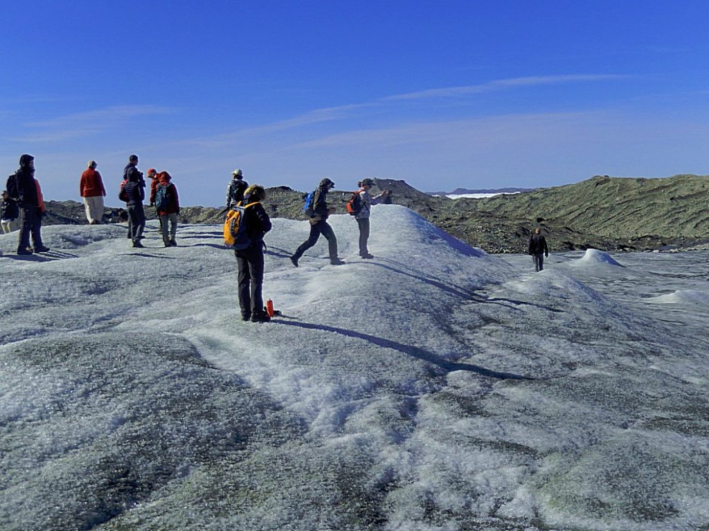
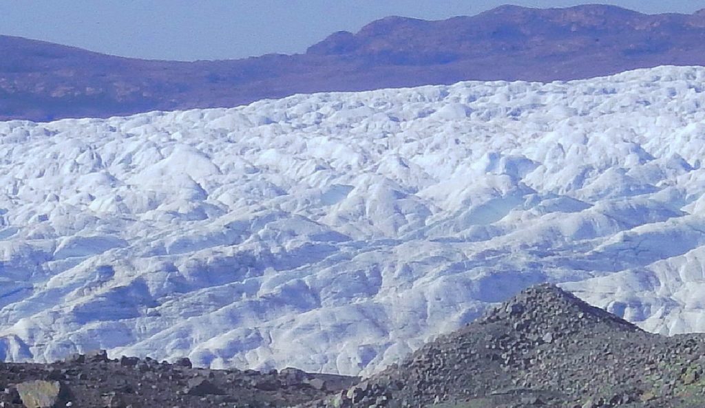
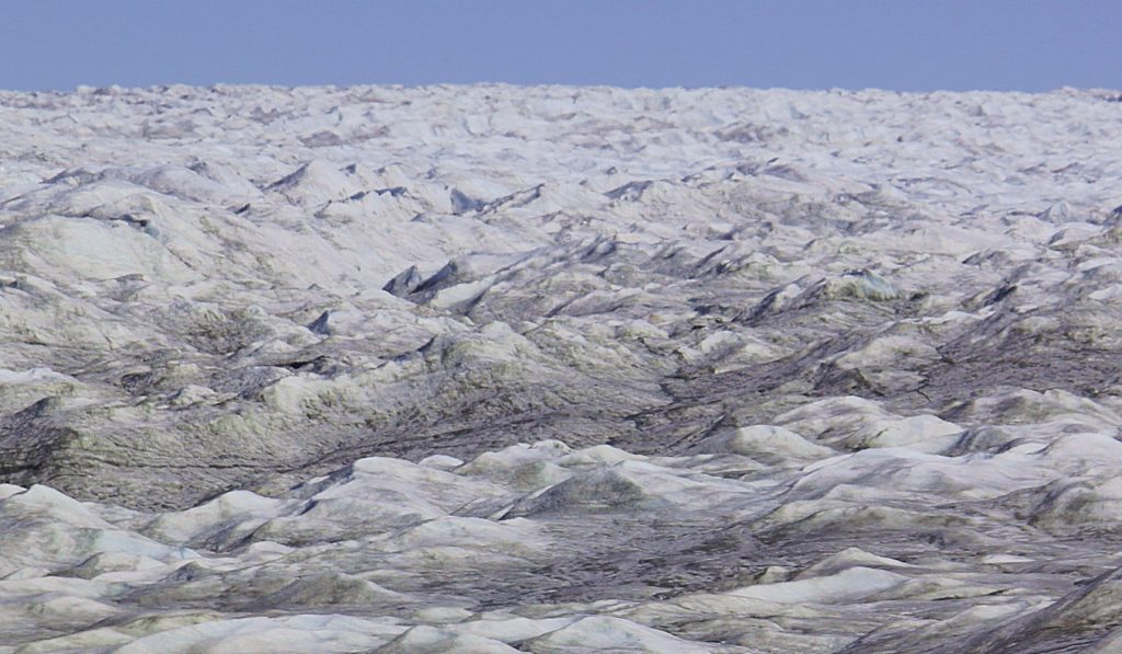
Greenland is for 80 % hidden under an inland icecap (the 2nd largest in the world after Antarctica only) which is 3 kilometres thick in the middle and slowly floating towards its edges. And there I am walking on that inland icecap and getting a feel of its immensity. I wanted to start crossing the icecap but as a non experienced icecap explorer I knew that couldn’t be done.
The icecap of Greenland is melting quicker than usual or what could be expected due to naturally caused global heating. Glaciers at its edges retreat inward way to fast. Sea ice retreats north very quickly.
The Moraines II
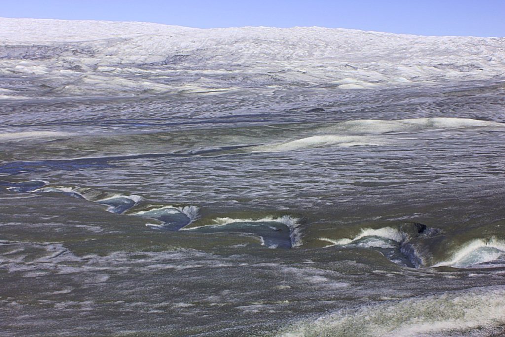
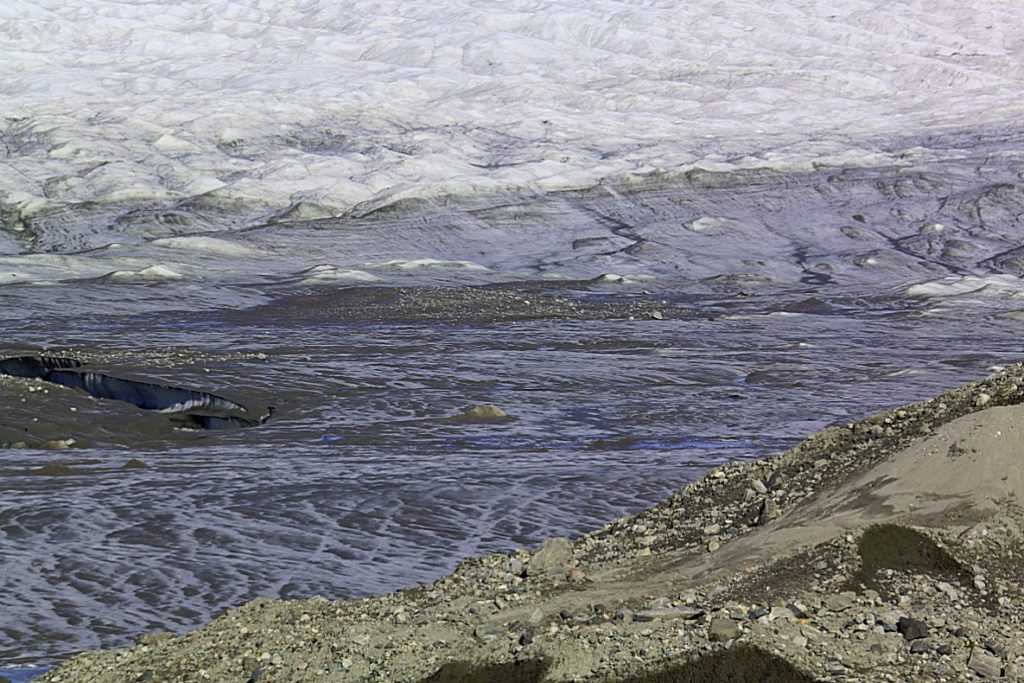
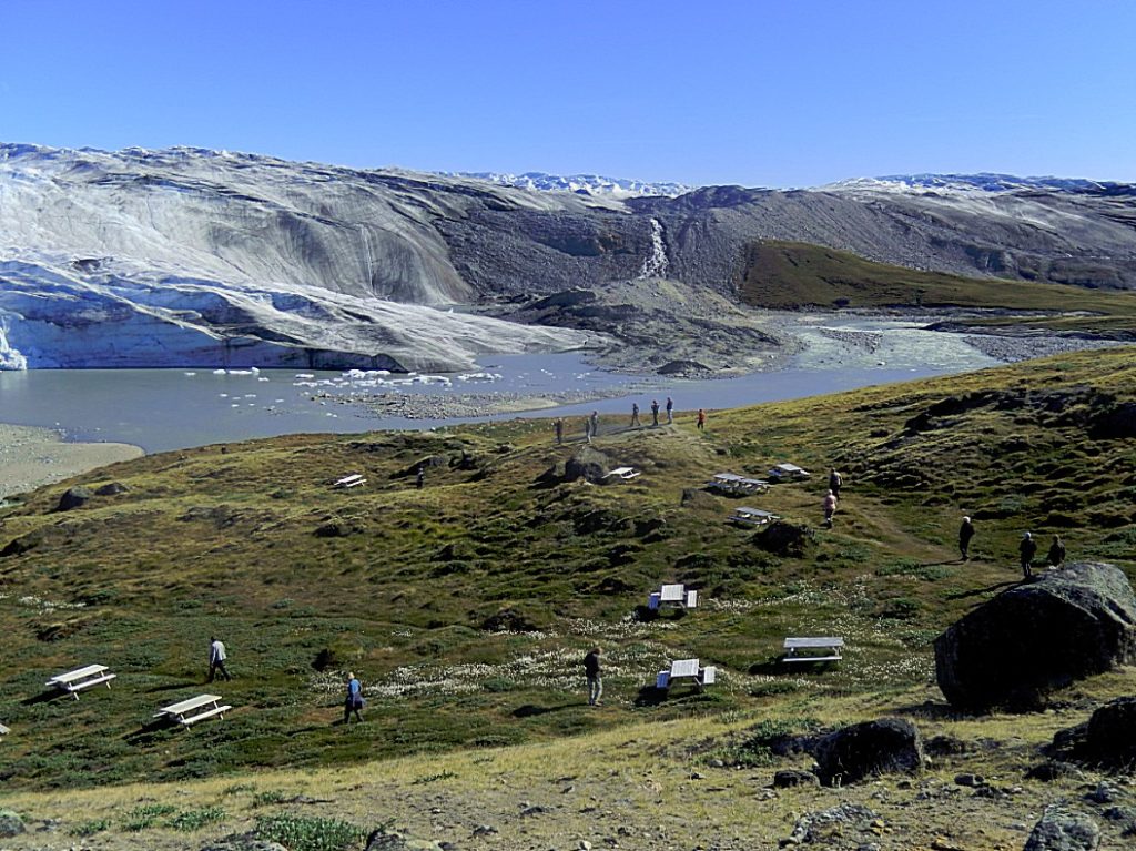
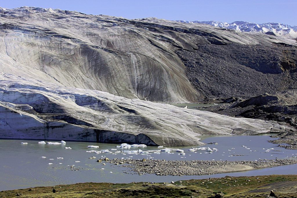
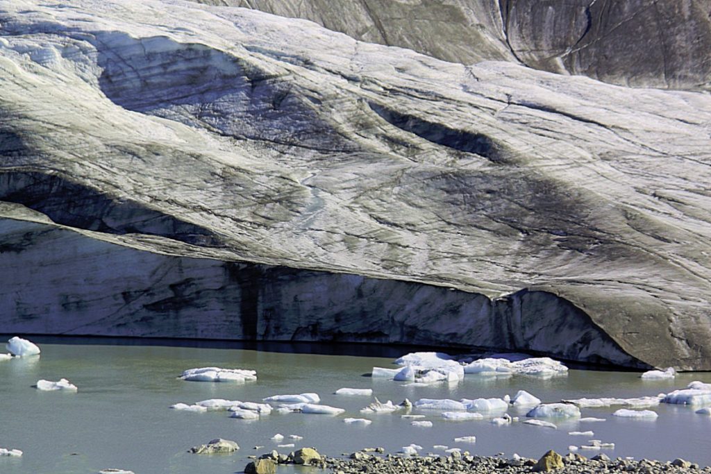
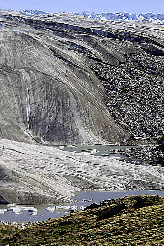
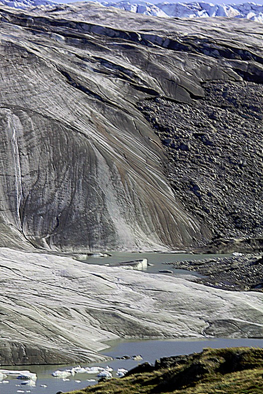
Glacial water lakes
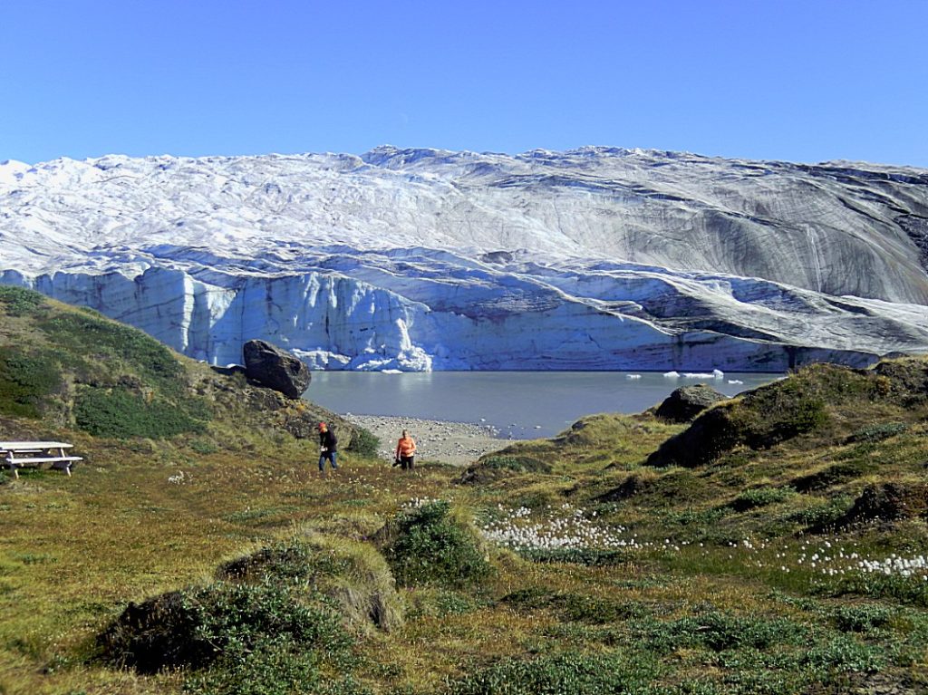
Russell Glacier II
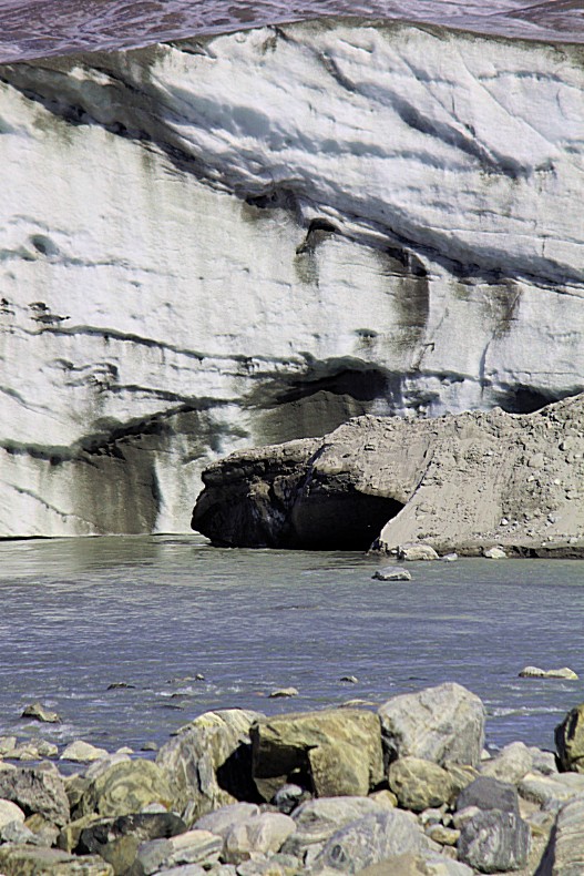
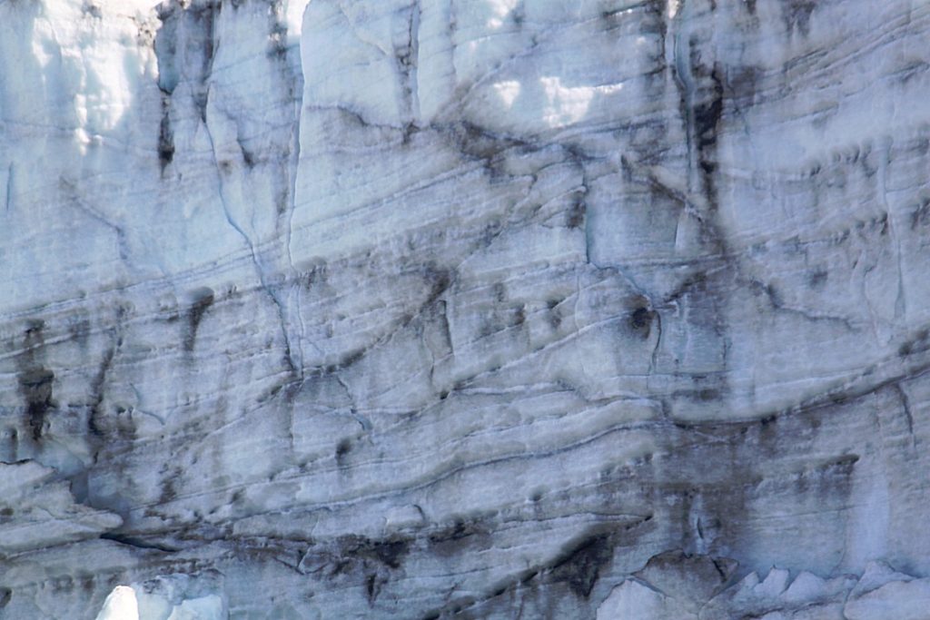
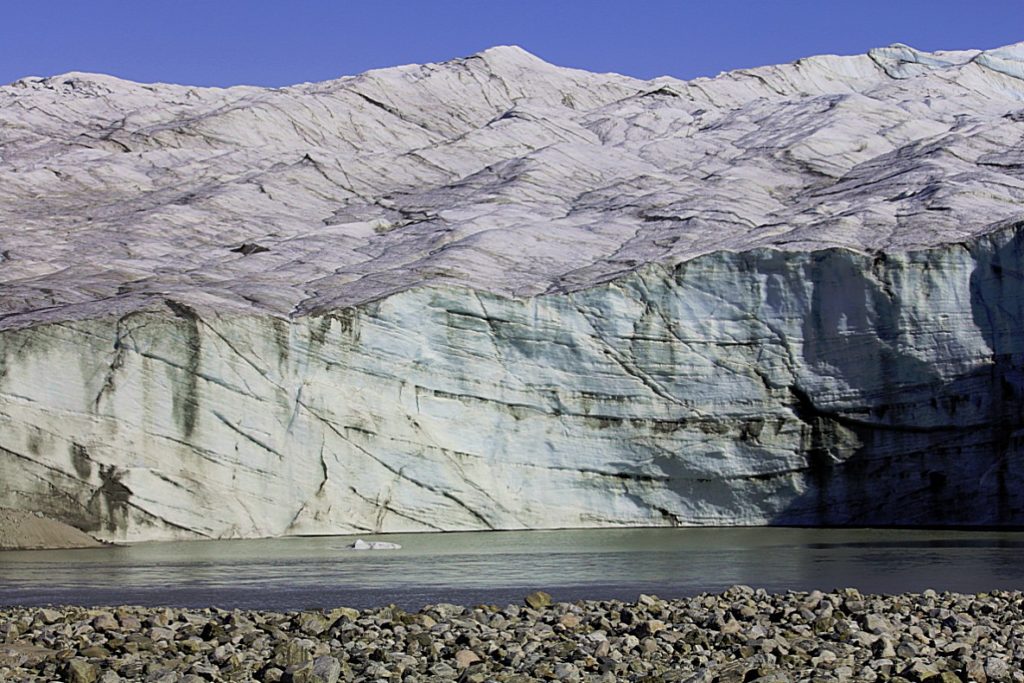
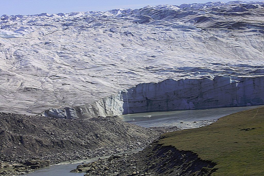
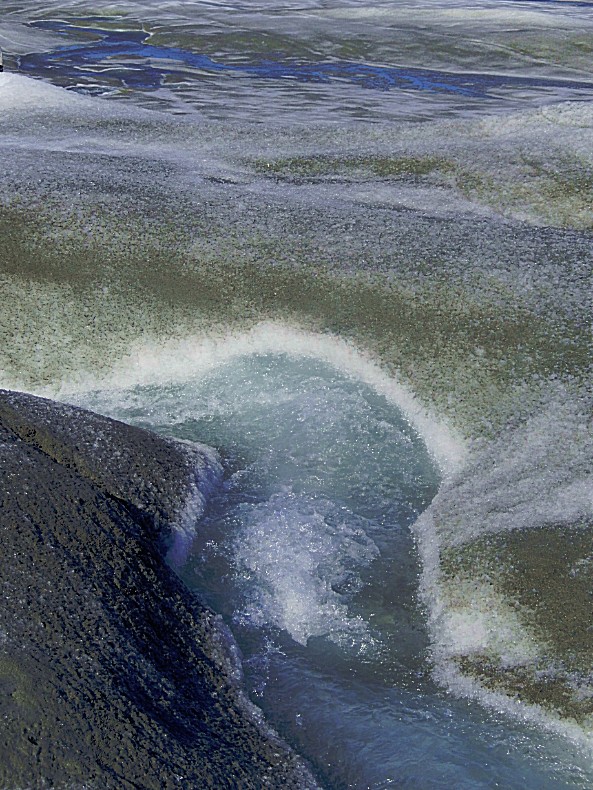
Russell Glacier (Danish: Russells Gletscher) is a glacier in the Qeqqata municipality in central-western Greenland. It flows from the Greenland ice sheet (Greenlandic: Sermersuaq) in the western direction. The front of the glacier is located 25 km (16 mi) east of Kangerlussuaq. It is active, advancing 25 m (82 ft) every year,[1] and due to easy approach it remains a popular tourist target.
Geography
The ice sheet outflow ending in Russell Glacier is bounded from the north by the tundra highland of Isunngua and from the south by an exposed, barren, flattened ridge of Akuliarusiarsuk. Several meltwater outflow streams from the base of the glacier form the Akuliarusiarsuup Kuua river, which flows west-south-west towards Kangerlussuaq. The sandur basin of the outflow river forming the valley of the same name (Danish: Sandflugtdalen) is very shallow; shallow enough to form quicksand fields several kilometers long.
Directly to the west of the glacier is a large lake, the 2x10km Aajuitsup Tasia. Due to minimal height differential, its waters are not conjoint with the meltwater outflow lake immediately to the west of Russell Glacier.
A sibling, unnamed glacier approximately 7 km (4.3 mi) to the southeast of Russell Glacier is the source to the wide outflow meltwater river of Qinnguata Kuussua. The confluence of the latter and the Akuliarusiarsuup Kuua river flowing from Russell Glacier is located at the eastern outskirts of the Kangerlussuaq settlement near the end of Kangerlussuaq Fjord, and used to be known as Watson River.
Methane cycling below the glacier
A 2014 study found based on subglacial drainage samples (dominated by Proteobacteria), evidence for methane cycling below the ice sheet of the Russell Glacier. During the study, on 12 July 2012 the most widespread surface melt on record for the past 120 years was observed in Greenland, unfrozen water was present on almost the entire ice sheet surface (98.6%). The findings indicate that methanotrophs could serve as a biological methane sink in the subglacial ecosystem, and the region was at least during the sample time, a source of atmospheric methane. Scaled dissolved methane flux during the 4 months of the summer melt season was estimated at 990 Mg CH4. Because the Russell-Leverett Glacier is representative of similar Greenland outlet glaciers, the researchers concluded that the Greenland Ice Sheet may represent a significant global methane source.
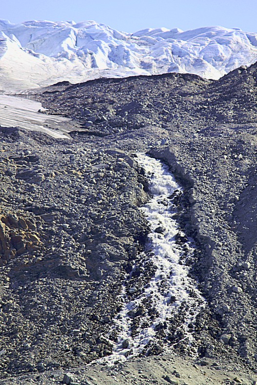
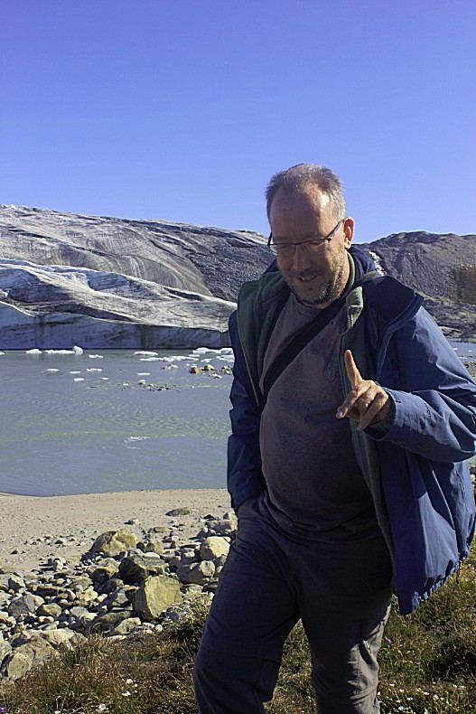
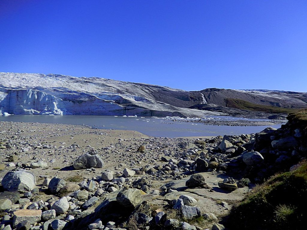
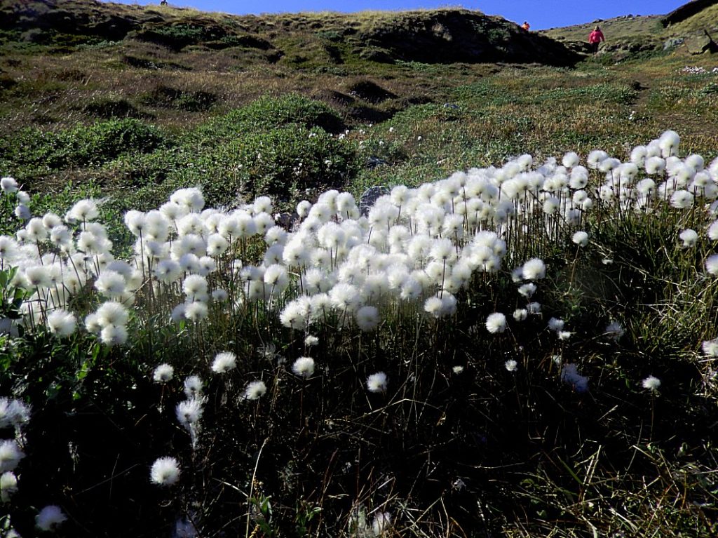
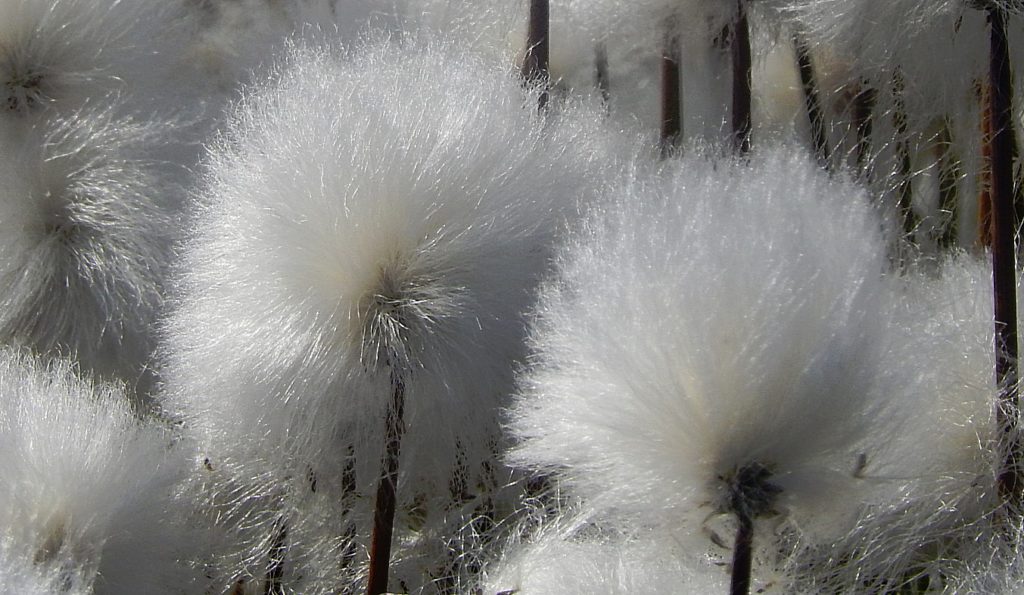
 On the grassy shores around the glacier lakes that got their water from the Russell Glacier, a small plant nicknamed Greenlandic Cotton grew in abundance. The “cotton” fluffs are used as fuse to light whale or seal oil in e.g. lamps.
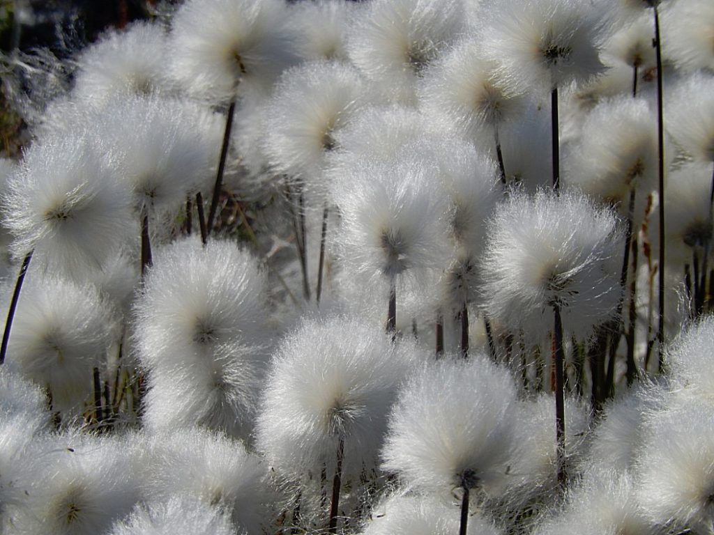 Eriophorum angustifolium, commonly known as common cottongrass or common cottonsedge, is a species of flowering plant in the sedge family Cyperaceae. Native to North America, North Asia, and Northern Europe, it grows on peat or acidic soils, in open wetland, heath or moorland. It begins to flower in April or May and, after fertilisation in early summer, the small, unremarkable brown and green flowers develop distinctive white bristle-like seed-heads that resemble tufts of cotton; combined with its ecological suitability to bog, these characteristics give rise to the plant’s alternative name, bog cotton.
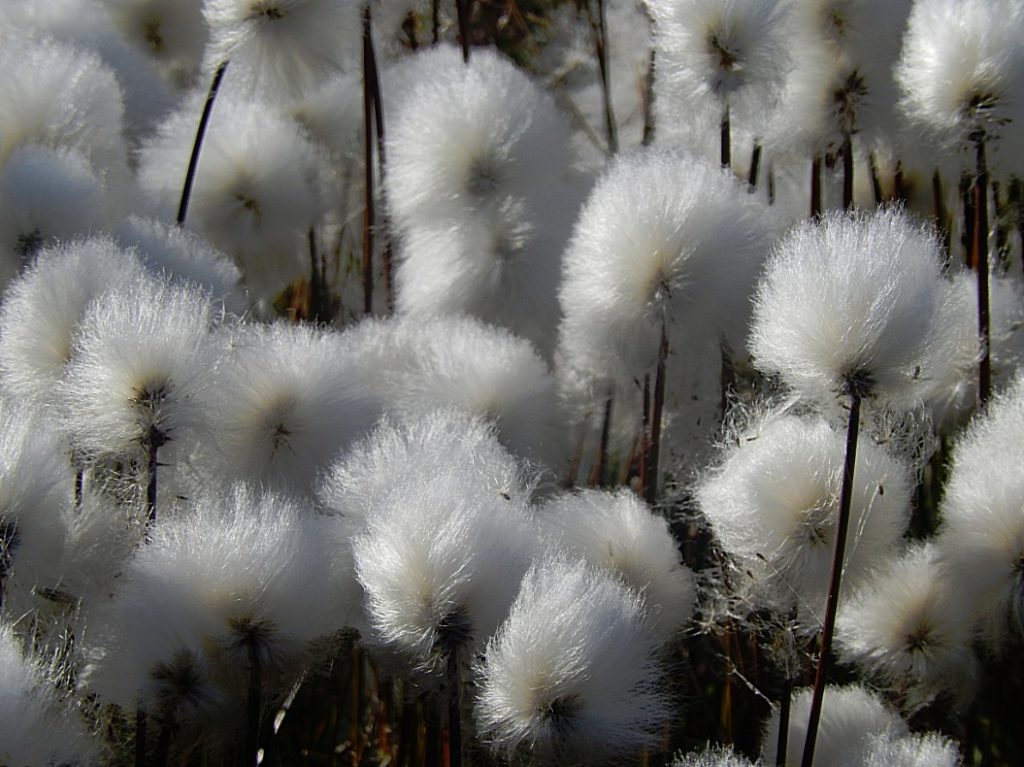 Eriophorum angustifolium is a hardy, herbaceous, rhizomatous, perennial sedge, able to endure in a variety of environments in the temperate, subarctic and arctic regions of Earth. Unlike Gossypium, the genus from which cotton is derived, the bristles which grow on E. angustifolium are unsuited to textile manufacturing. Nevertheless, in Northern Europe, they were used as a substitute in the production of paper, pillows, candle-wicks, and wound-dressings. The indigenous peoples of North America use the plant in cooking and in the treatment of digestive problems. Following a vote in 2002, Plantlife International designated E. angustifolium the County Flower of Greater Manchester, as part of its British County Flowers campaign.
Diner at the Airport
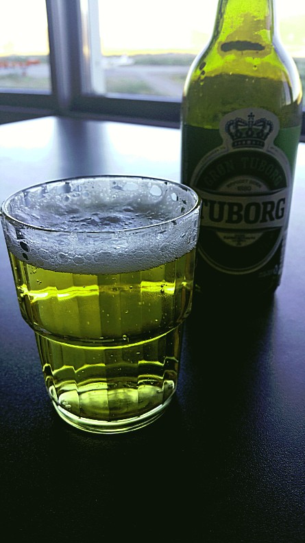
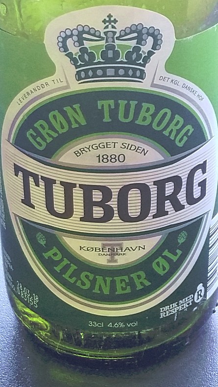
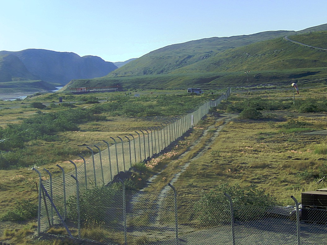
After this 1st day in Greenland, The wandelgek drank some Tuborg beer while looking at the landscape up and around the airport.
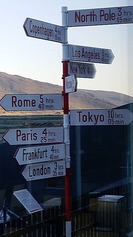 This sign post shows the vicinity of the North Pole related to major cities on the northern hemisphere.




Jazeker. Dit is ook zo mooi. IJs is misschien wel een van de mooiste dingen die er zijn. Amsterdam ligt denk ik nog verder weg dan de andere bestemmingen. In ieder geval is de noordpool het dichtste bij 😉
Fraaie foto indruk sessie ! Glaciers, river/lake, rendieren, cottons etc, Op de steden wegwijzer ontbreekt wel Amsterdam. Verder is wel te zien, dat de ‘wandelgek’ hier zich wel in zijn element voelt.
Fraaie indruk-foto-sessie ! Gletschers.river/lake, rendieren, cotton’s etc. Op de steden-wegwijzer staat geen Amsterdam vermeldt! De ‘wandelgek’ is hier, zo te zien, wel in zijn element !