Thamespath long distance walk: 1b. From Marlow to Henley-on-Thames
After my short city walk through Marlow, it now felt time to start my first of two day walks on the Thamespath.
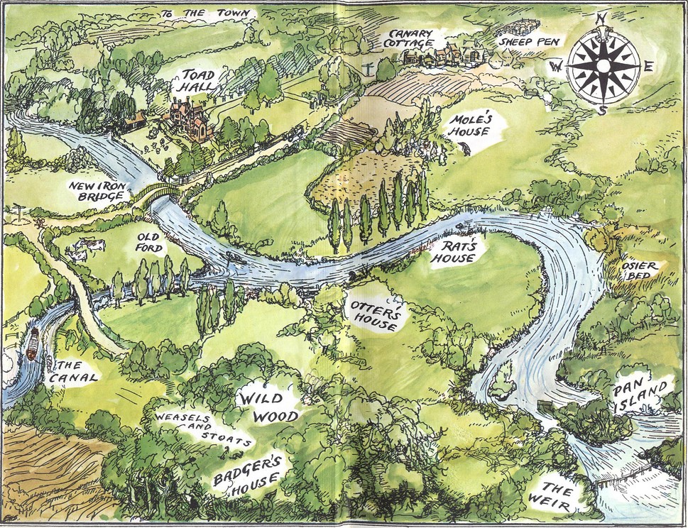
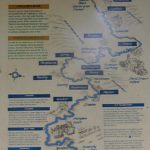
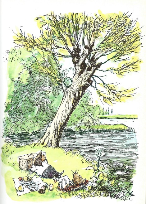
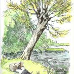
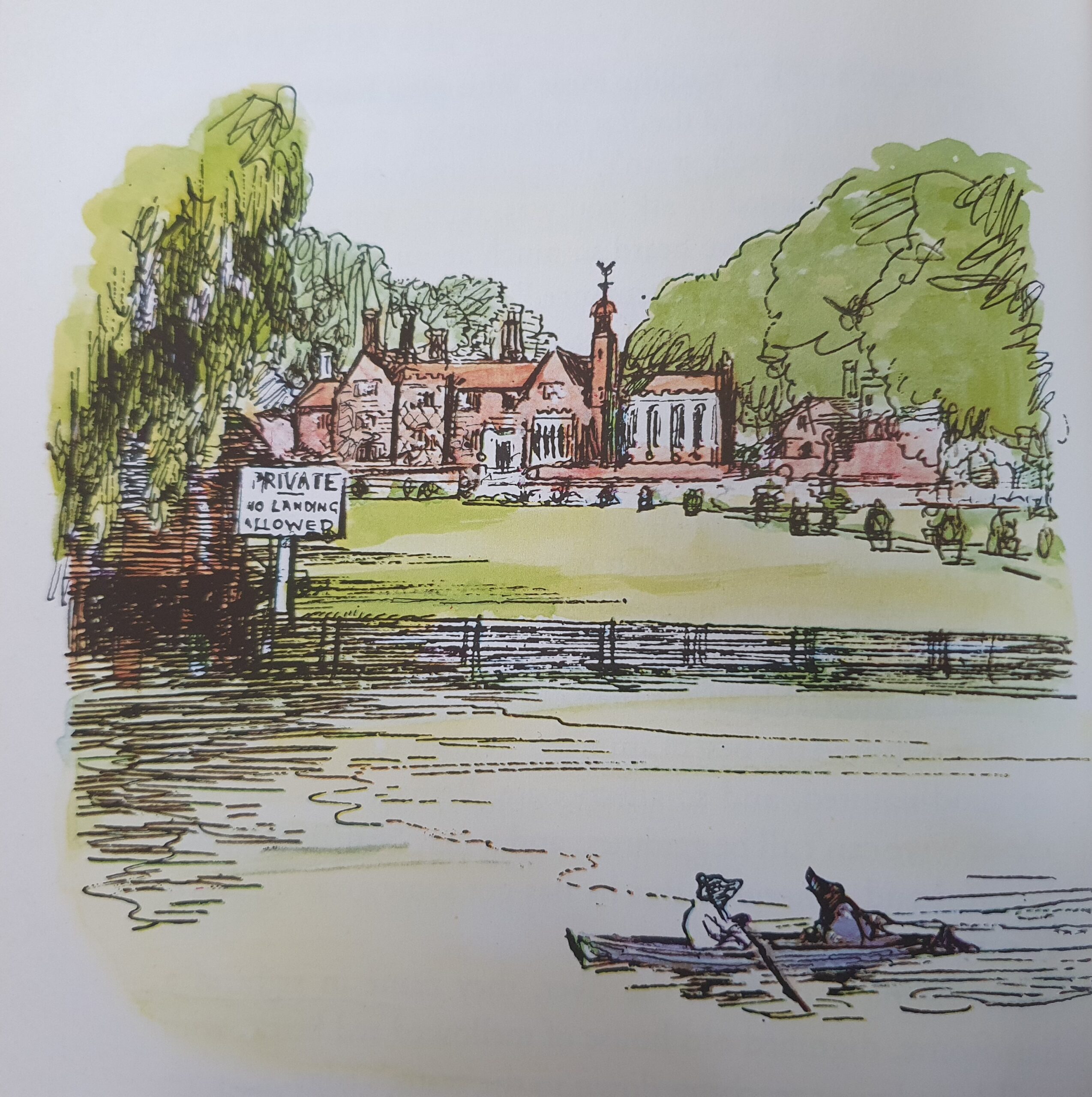
Now why a walk on the Thamespath and why a 2-day walk from Marlow to Pangbourne (or actually Reading because Pangbourne was a bit further then estimated ;-))? Well: This is Wind-in-the-Willows country. This is where Toad, Mole, Rat and Badger roamed around. The upper Thames is the river from the famous map by E.H. Shepard that can be found in the front and back of every Wind in the Willows copy.
Wind in the Willows has always been one of my favourite English children’s books and I still love it as an adult. But what’s it about?
Wind in the Willows
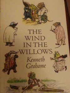 Although The Wind in the Willows is regarded as being written for children, it equally engages an adult audience. The story follows the adventures of a group of animal friends, who speak and act as humans. They live in an idyllic English countryside (Remark: remember me telling you in the introduction to this England journey that almost all English childrens books that became classics, used the idyllic English countryside as a safe haven versus the wild and dangerous nature beyond (think of Winnie the Pooh, The Hobbit (and subsequently The Lord of the Rings), Mary Poppins and of course Wind in the Willows itself and additionally a lot of those also drew on the theme of disappearing nature (wild nature as well as idyllic nature of the countryside) (The Lord of the Rings, The Wind in the Willows and maybe not English (Canadian) but certainly drawing from English heritage: The Wild Wood – series), enjoying the pleasures of life, free from the dangers of the Wide World beyond, while overcoming the terrors of the Wild Wood, and finally banishing the threat of invasion.
Mr. Toad’s adventures form the main story. Toad squanders his inheritance on the temptation of the modern age, behaves disgracefully, lets his friends down and neglects the responsibilities of his status, which puts the river bankers’ way of life in jeopardy – saved only by the efforts of his loyal friends.
The river-bankers (including Rat, Mole and Badger) represent a genteel way of life, while the marauding wild-wooders (stoats and weasels) stand for a hostile, common way of life, which threatens the rural idylle.
The Wind in the Willows by Kenneth Grahame has enchanted readers since its publication in 1908. Widely regarded as one of the great classics of children’s literature, the book follows the exploits of four animal friends who live in the English countryside. The endearing escapades of Ratty, Mole, Badger and Toad combine adventure and camaraderie with aspects of morality, and tell of the social struggle between the river-bankers and the wild-wooders.
Evoking the rivers, woodlands and byways of an idyllic pastoral landscape, the setting is much inspired by the author’s own childhood, largely spent with his grandmother in Berkshire and at school in Oxford. Throughout his life, tainted by tragedy and disappointment, Kenneth Grahame’s happiest times were when he explored the countryside and was close to nature.
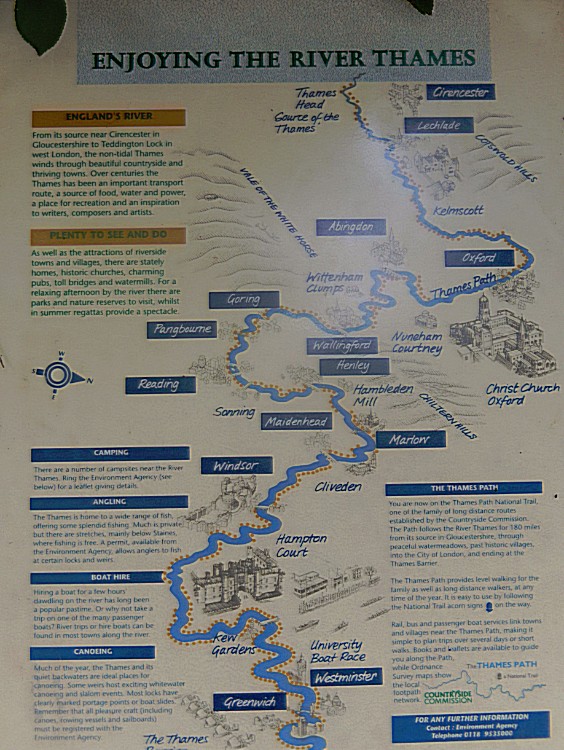
The Thames Path
Kenneth Grahame knew the stretch of the Thames flowing from Oxford towards Windsor very well. Lots of locations in Wind in the Willows are based upon actual location in this river stretch and even more… E.H. Shepard visited Kenneth Grahame at his house in Pangbourne and from there started exploring the river too. He drew inspiration for his now famous drawings from his riverwalks.
And now you know why The Wandelgek simply had to walk this river stretch too.
Practical information:
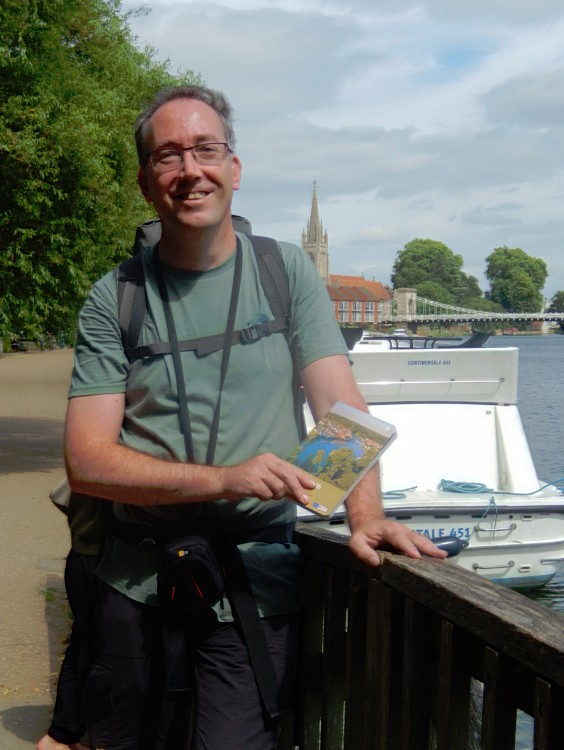
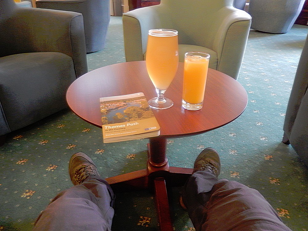
In preparation for his two day backpack walk, The Wandelgek used the Thames Path in the Country (From the source to Hampton Court) – Official National Trail Guide by David Sharp and Tony Gowers. It has a detailed description of the route as well as of the main highlights to visit on the road. It also has detailed walking maps.
Distances
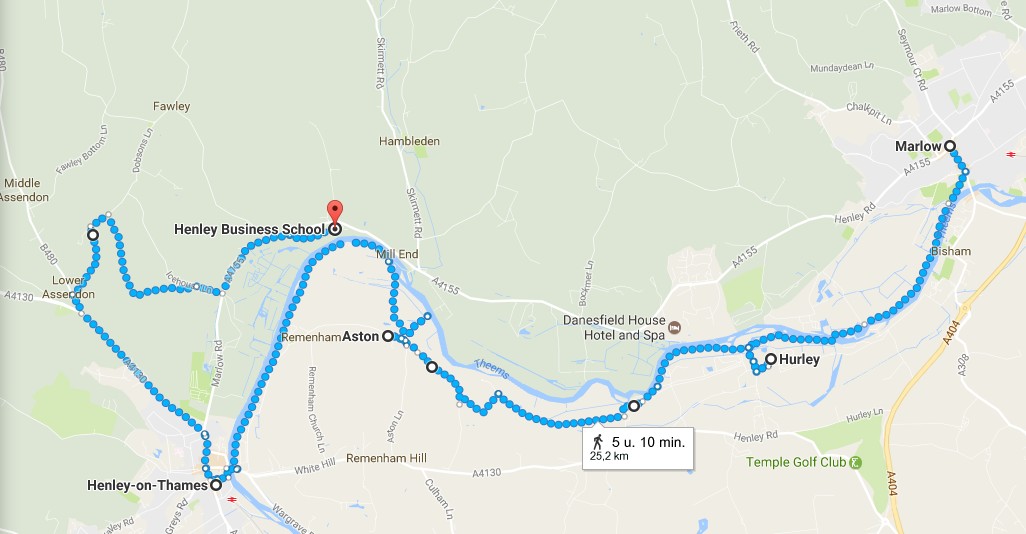
The Thamespath is actually a long distance walking path running from the source of the Thames in the Cotswolds towards its mouth in the North Sea and has a total length of 235 kilometres. I planned walking approximately 13.7 kilometers on day one (not including my city walk in Marlow and not including an additional 6 kilometer walk to my overnight stay (which became a much longer walk, but more about that later).
On day 2 The Wandelgek had planned to walk 23,7 kilometers (not including 6 kilometers fom the overnight stay to the beginning of the Thamespath in Henley-on Thames) (which proved to be to much) and after changing his plans he still walked 15.7 kilometers to Reading.
The total length of this 2-day walk was:
Day 1:
- City Walk Marlow – 2 kilometers
- Marlow to Henley-on-Thames – 13.7 kilometers (Thames Path)
- Henley-on-Thames to Henley Business School at Greenlands – 10 kilometers
Day 2:
- Henley Business School at Greenlands to Henley-on Thames – 6 kilometers
- Henley-on Thames to Reading – 15.7 kilometers (from there by train to Pangbourne)
Day 3: (added a very early walk which I had planned on day 2, before leaving for Oxford)
- Early bird walk from Pangbourne to Whitchurch-on-Thames – 2 kilometers
49.4 kilometers Total and 31.4 kilometers on the Thames Path.
Including some visits of small villages on the road (Hurley-on-Thames & Sonning), the total adds up to approximately 50 kilometers.
Eat and drink
There are enough places on the road to eat and drink, starting at Marlow which is a moderate town having lots of restaurants and pubs available.
Other places on the road are way smaller but there are inns/pubs at:
Hurley-on-Thames (Ye Old Bell, Rising Sun and there’s the Hurley Lock Tea Shop) and
Aston (Flowerpot Inn).
Henley-on-Thames is quite a large town with lots of choice to eat or drink.
Public Transport
There are busstops at Marlow, Mill End and in Hurley-on-Thames and
Marlow has a railway station.
Day 1: Marlow to Henley-on-Thames
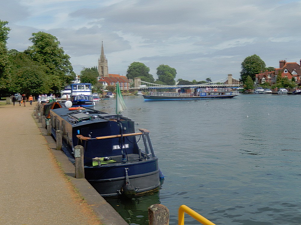
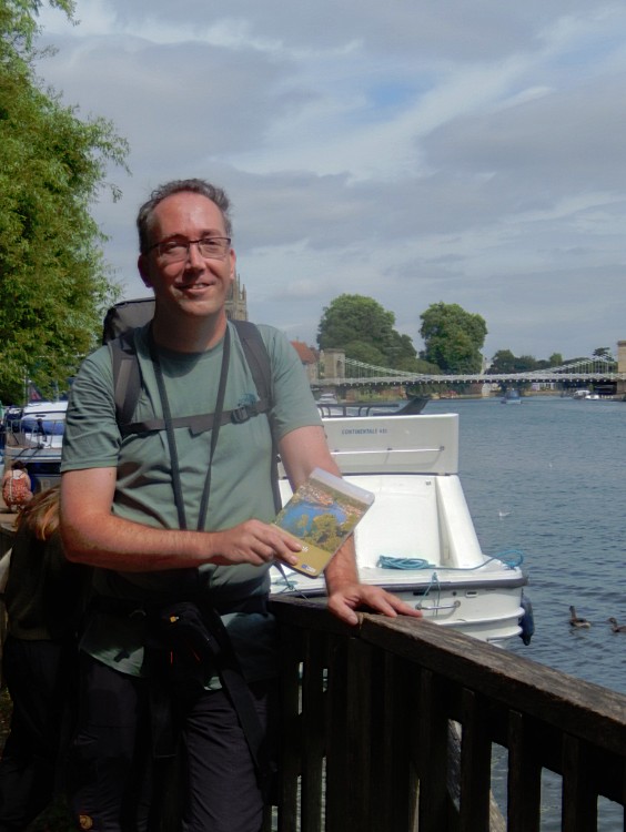
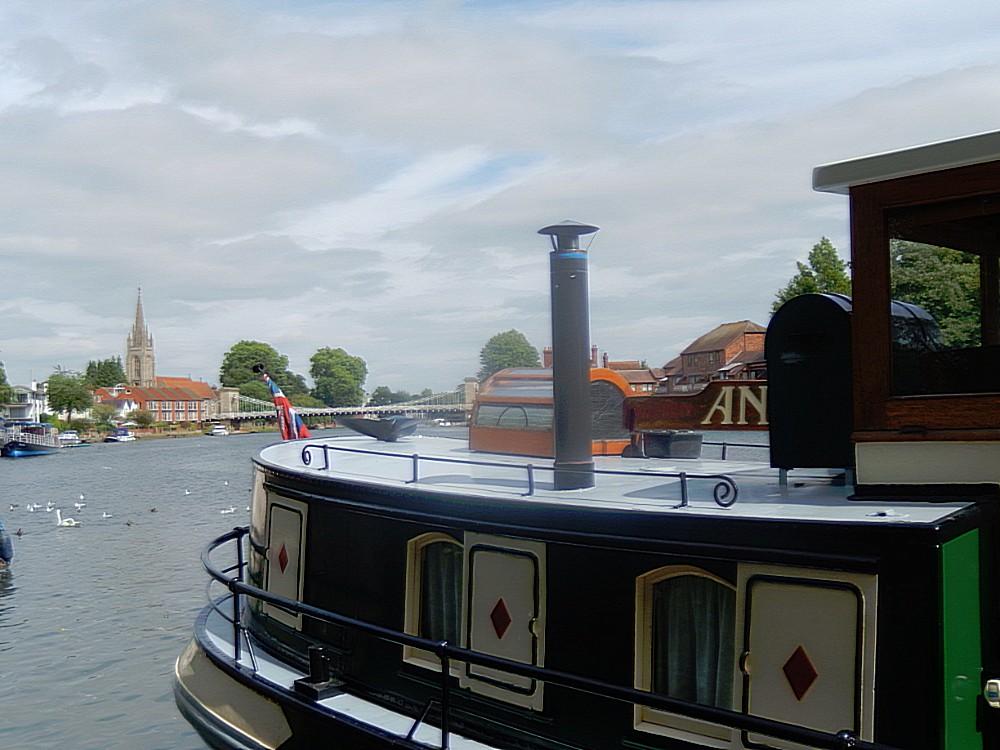
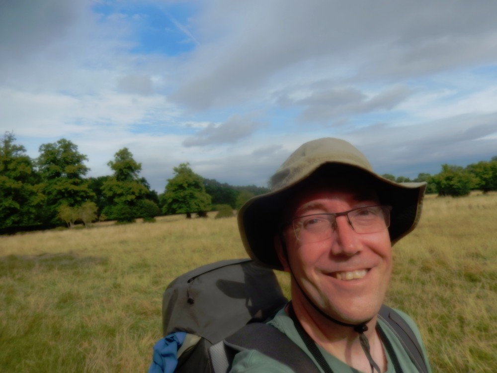
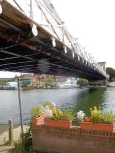 I started my walk just underneath the suspension bridge in Marlow, at the river embankment. It was cloudy and sunny and the more my walk proceeded, the sunnier it got 🙂
The first stretch of the walk followed the town’s promenade and then past Higginson Park and over a small footbridge on to an old Towing path directly at the river towards Temple Lock.
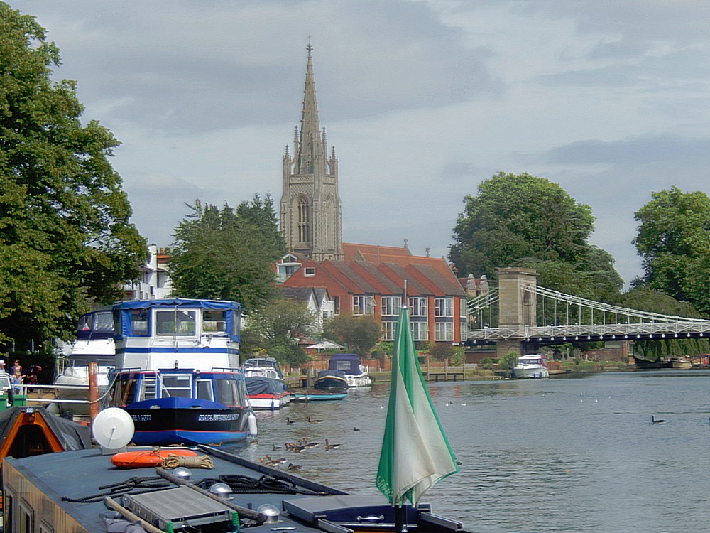
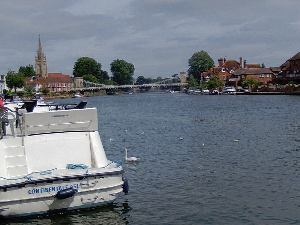
Leaving Marlow, The Wandelgek had some marvelous views over the river towards Marlow and its suspension bridge…
Tow or Towing Path
A towpath is a road or trail on the bank of a river, canal, or other inland waterway. The purpose of a towpath is to allow a land vehicle, beasts of burden, or a team of human pullers to tow a boat, often a barge. This mode of transport was common where sailing was impractical due to tunnels and bridges, unfavourable winds, or the narrowness of the channel.
After the Industrial Revolution, towing became obsolete when engines were fitted on boats and when railway transportation superseded the slow towing method. Since then, many of these towpaths have been converted to multi-use trails. They are still named towpaths — although they are now only occasionally used for the purpose of towing boats.
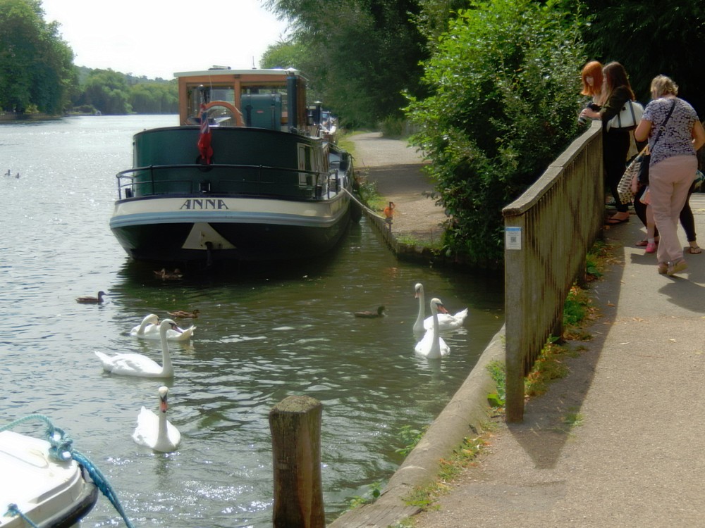
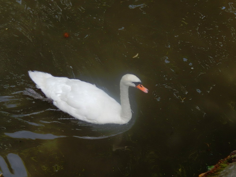
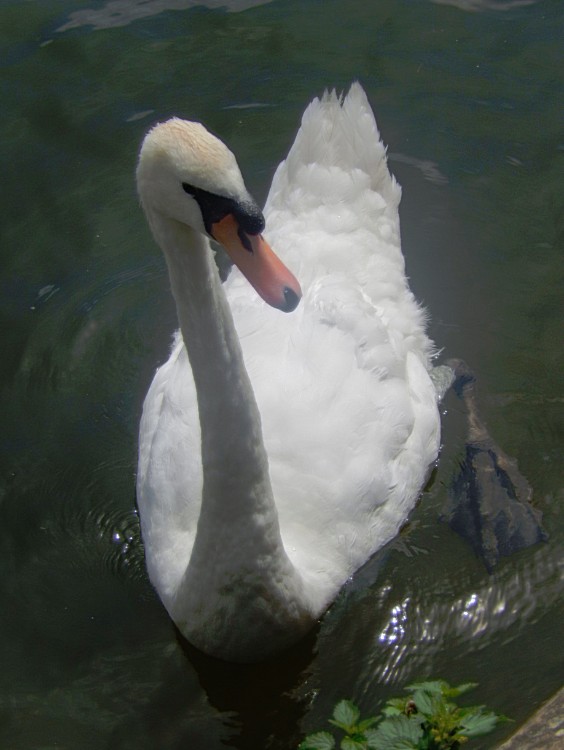
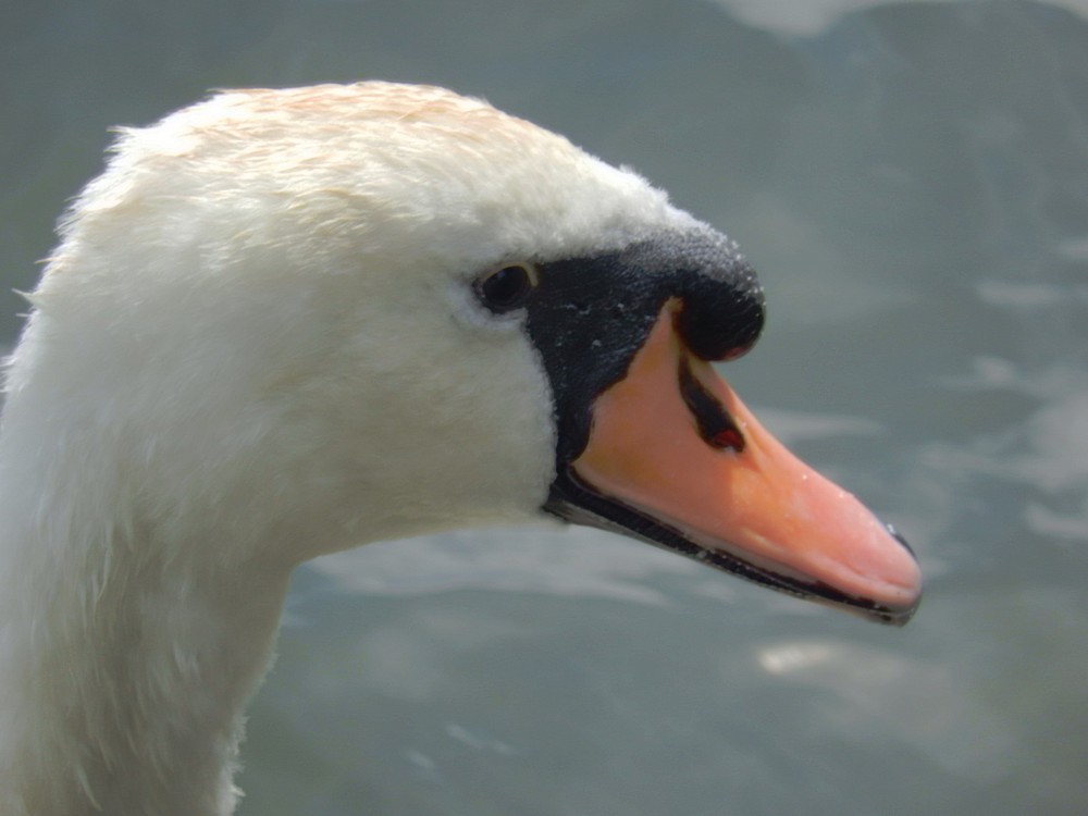
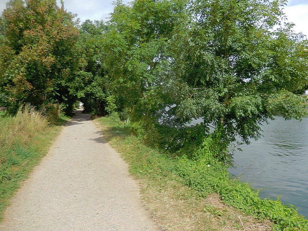
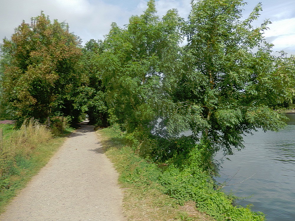
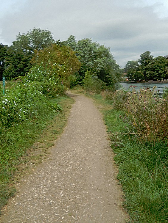
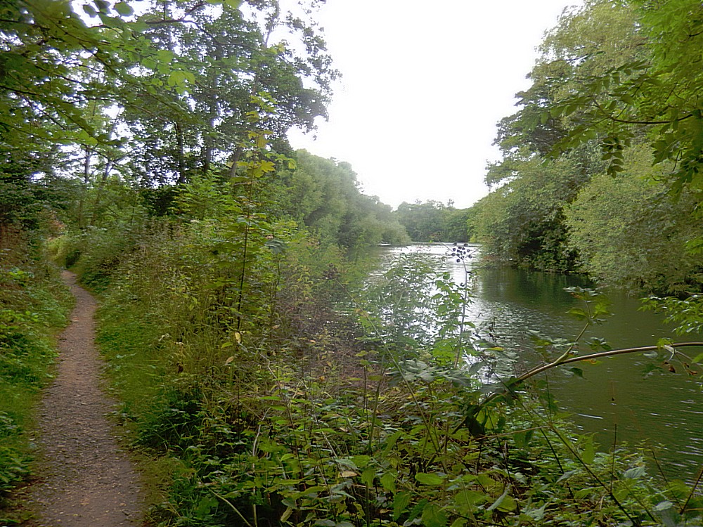
The Thames Path is created by connecting lots of these old abandoned towing paths together. There were lots of swans and other water birds around and the scenery had from the moment The Wandelgek had left Marlow, become quite rural.
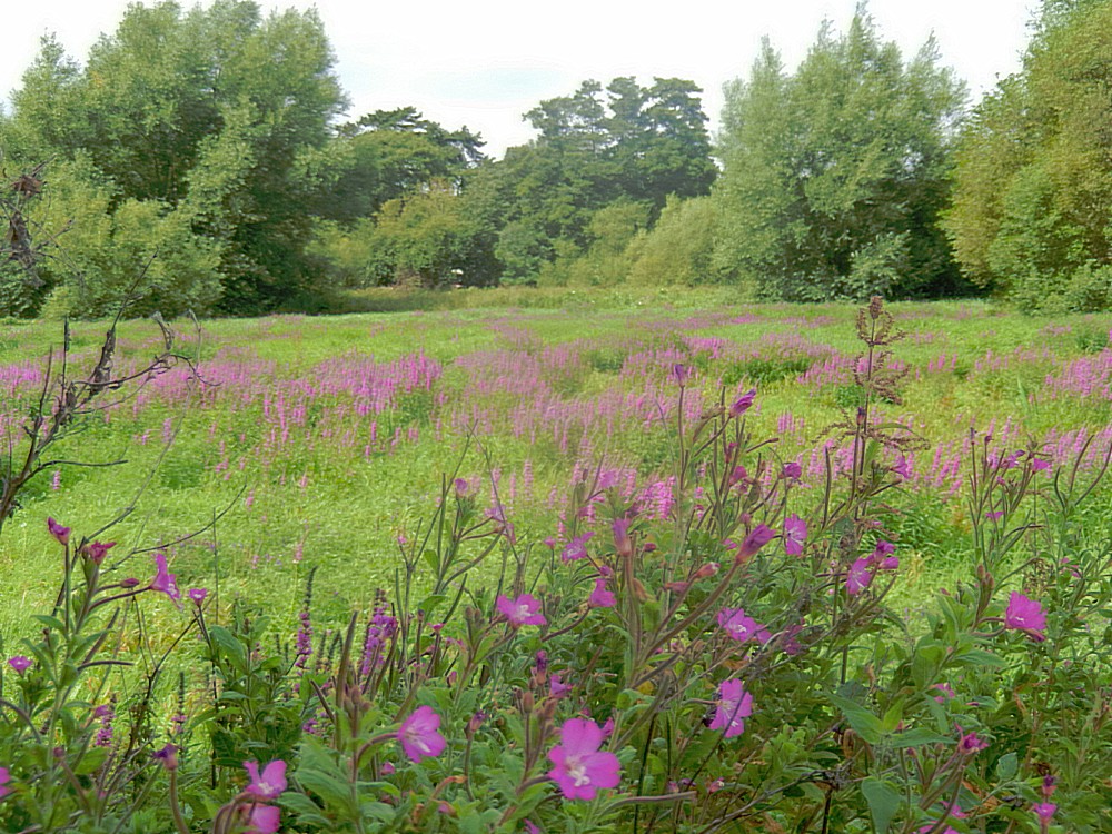
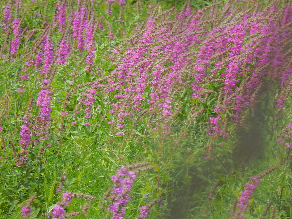
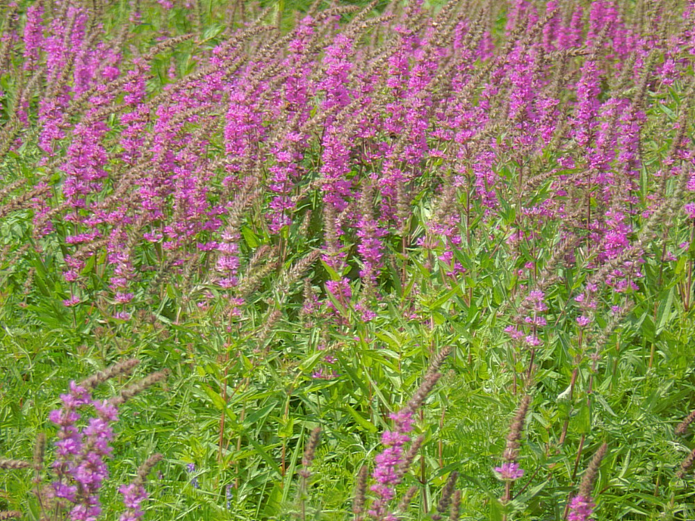
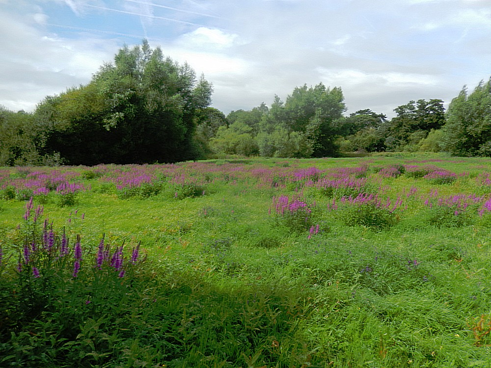
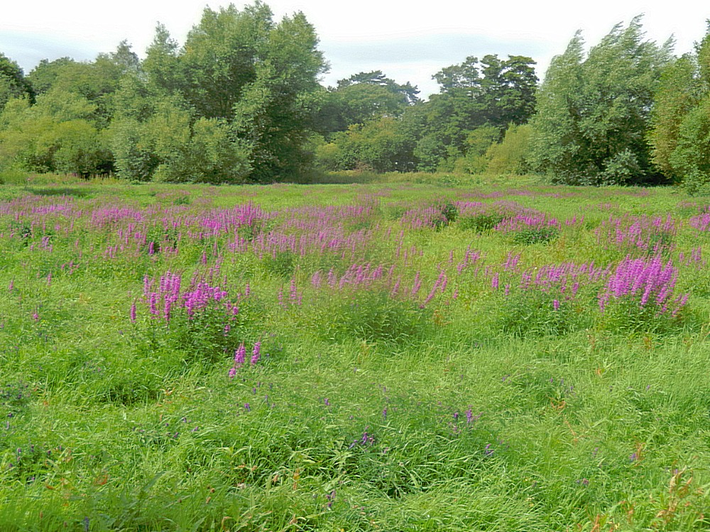
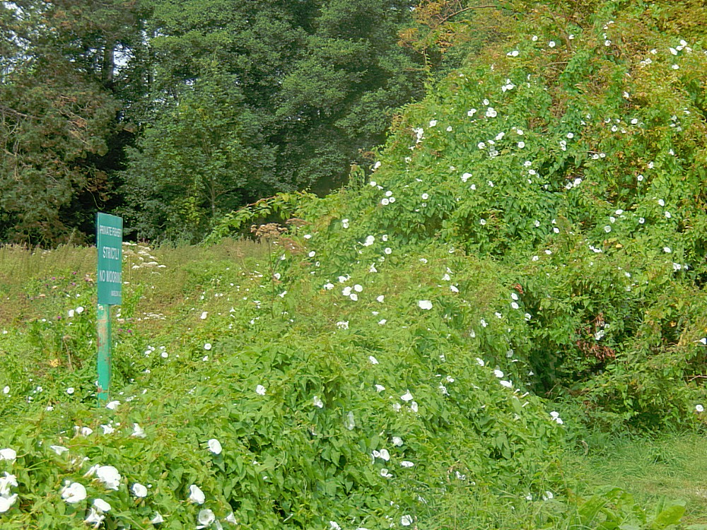
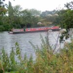
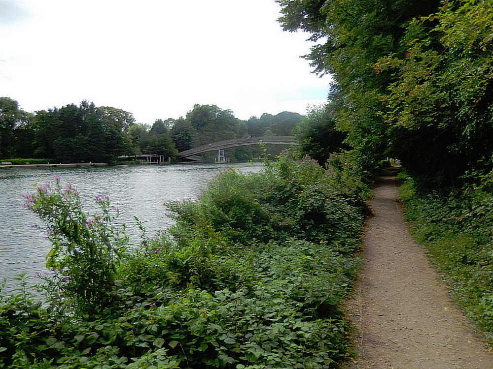
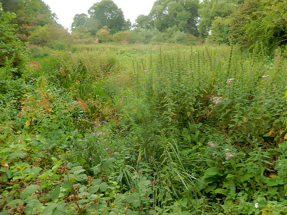
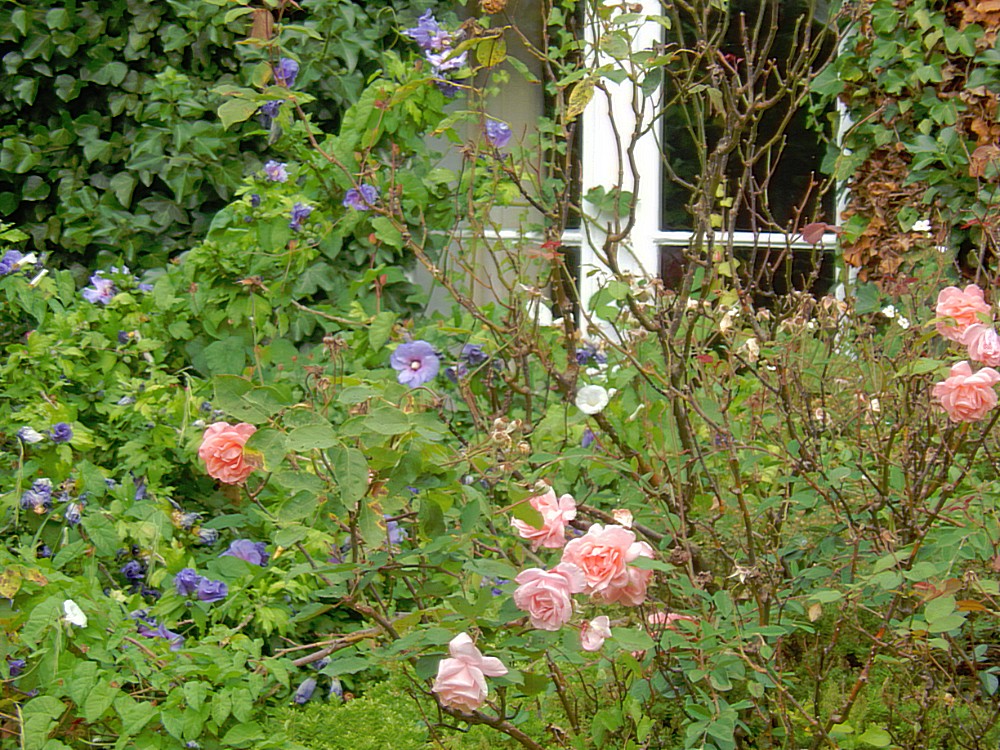
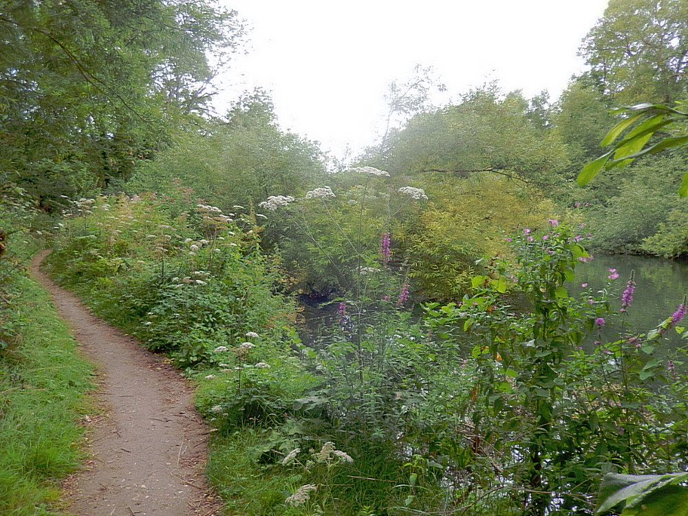
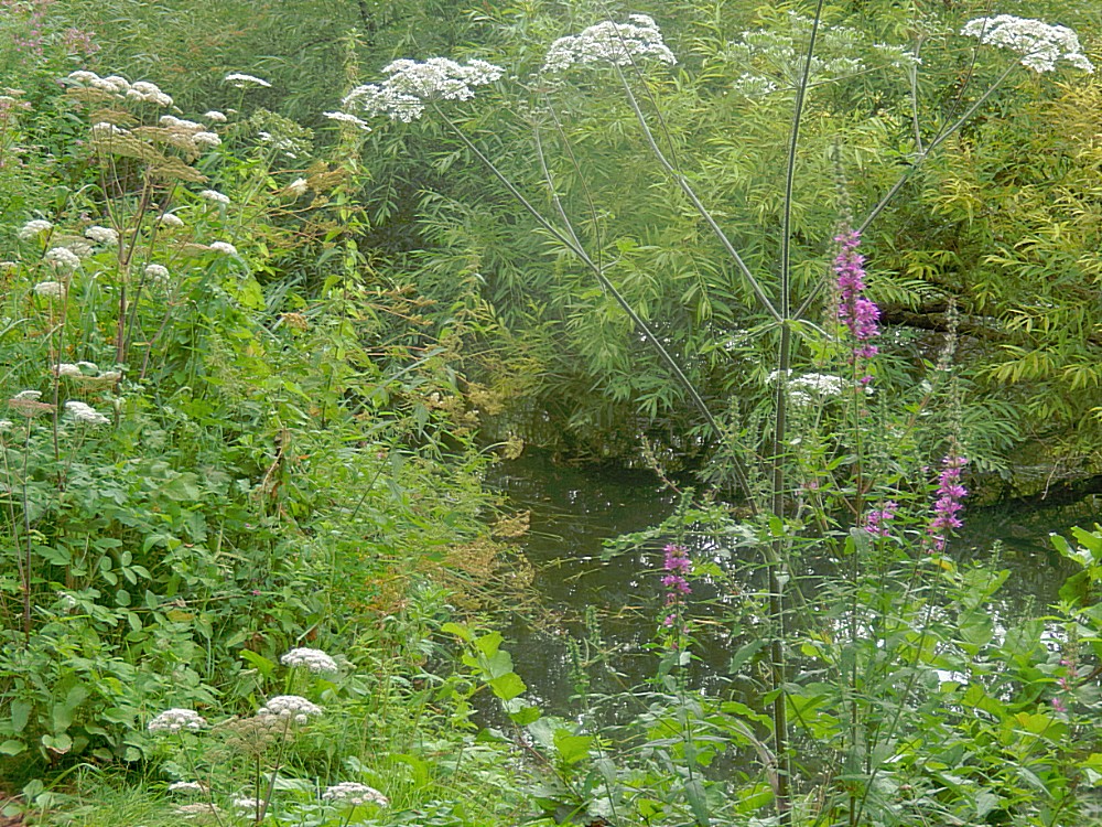
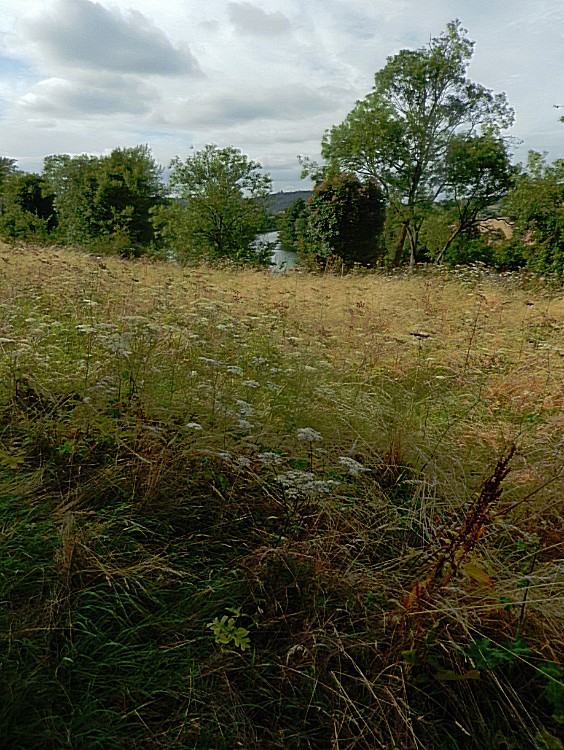
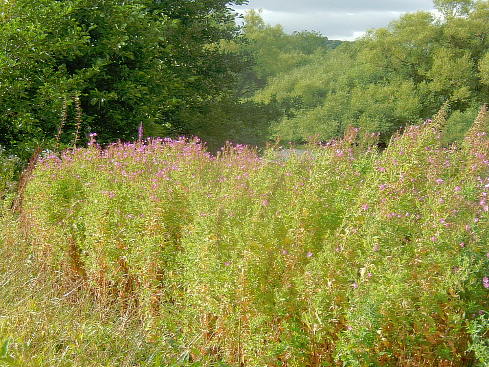
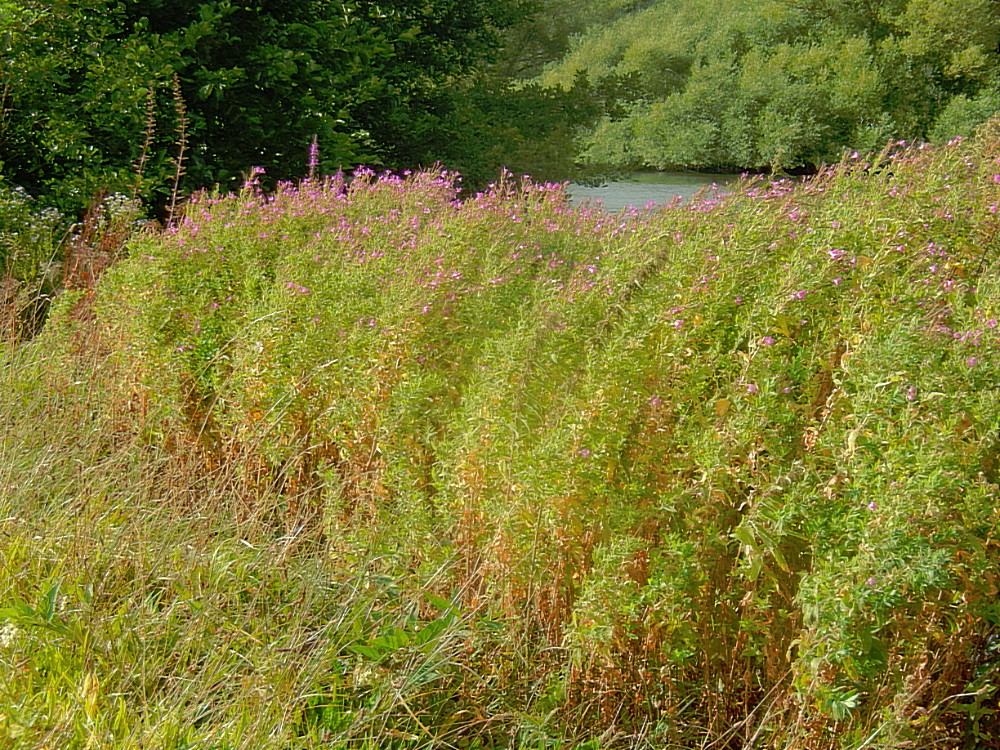
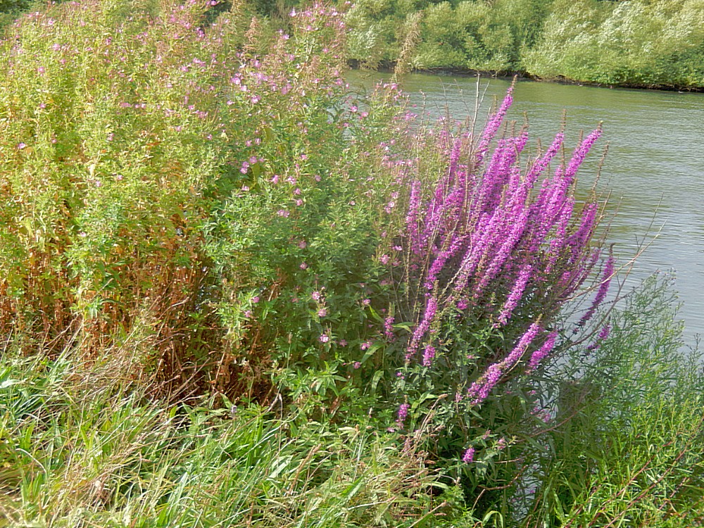
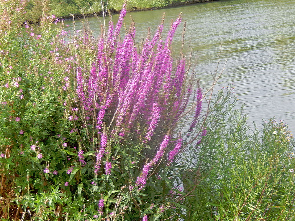
Outside of Marlow I immediately noticed the abundance of flowers in the riverbed. The fenced tow path was between the river to the left and the low wet lands full of flowers to the right…
I could quite imagine Mole ploughing through these flowerfields towards the river…
“He thought his happiness was complete when, as he meandered aimlessly along, suddenly he stood by the edge of a full-fed river”
Mole, from “The River Bank”, The Wind in the Willows
On the other side of the river were beautiful country estates…
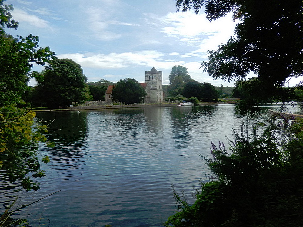
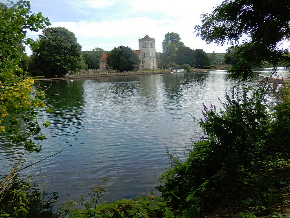
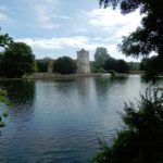
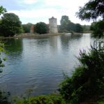
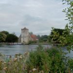
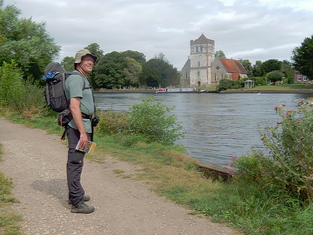
Then the path reached Bisham (other side of the river) and the beautiful Bisham Abbey…
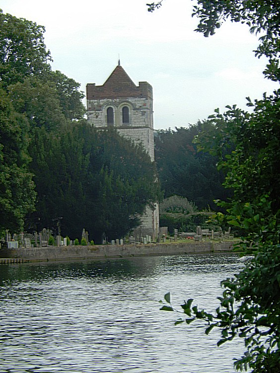
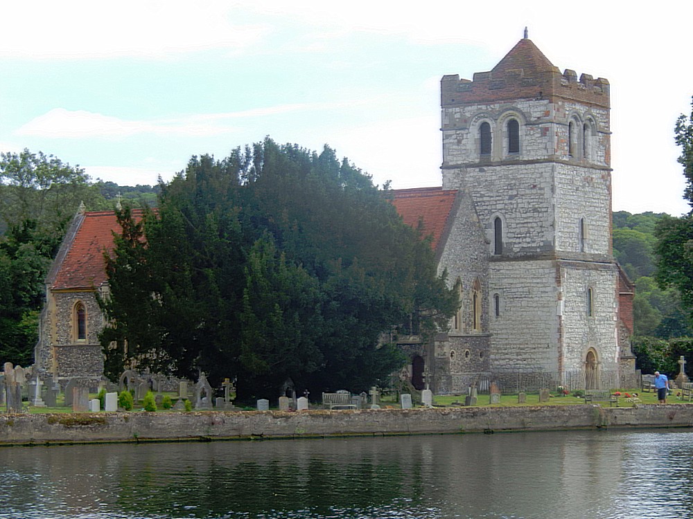
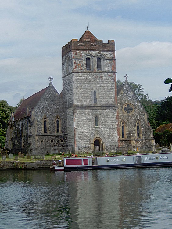
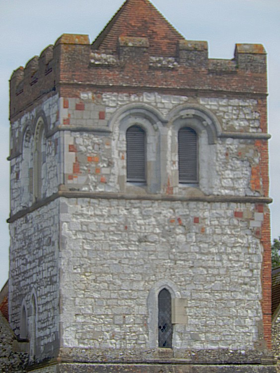
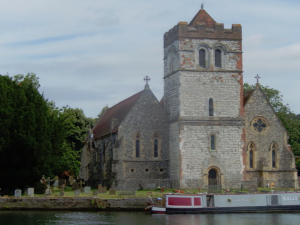
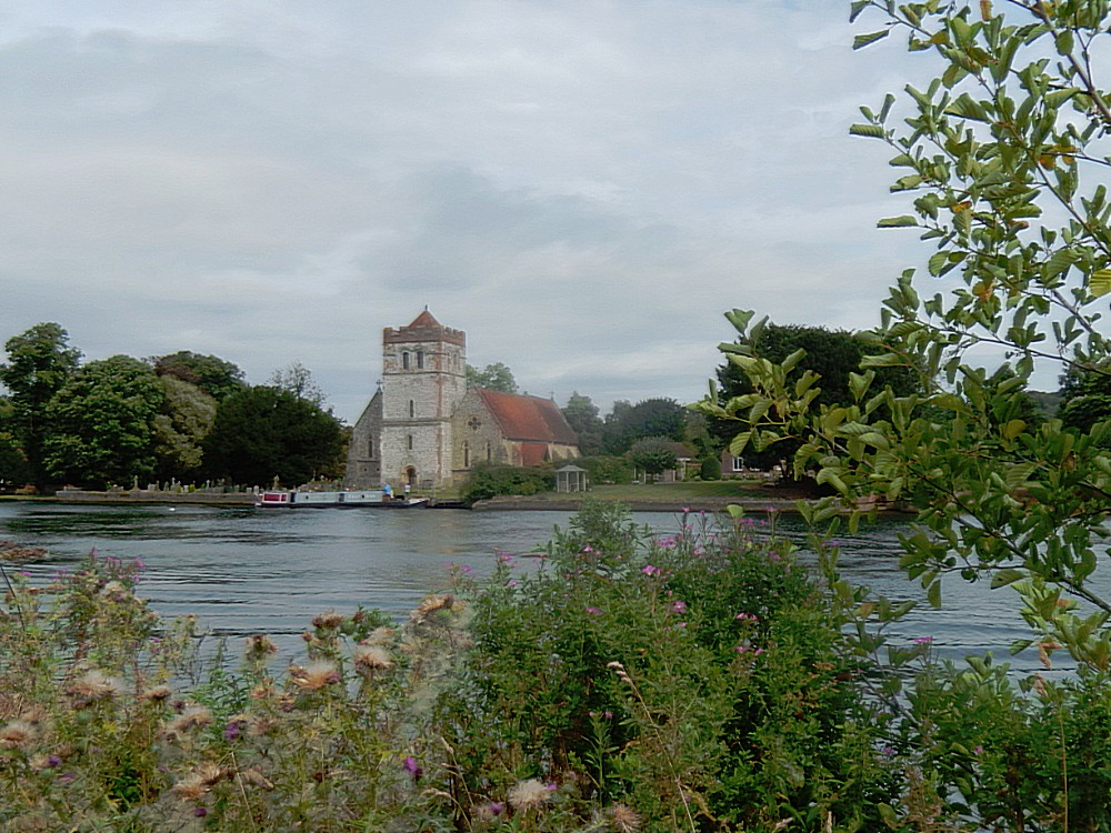
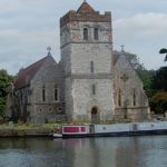
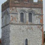
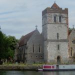
All Saints Church, Bisham
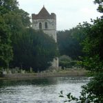
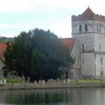
The village of Bisham stands on the south bank of the Thames, across from Marlow-on-Thames. On a rise above the river stands the ancient church of Al Saints, which dates to the 12th century.
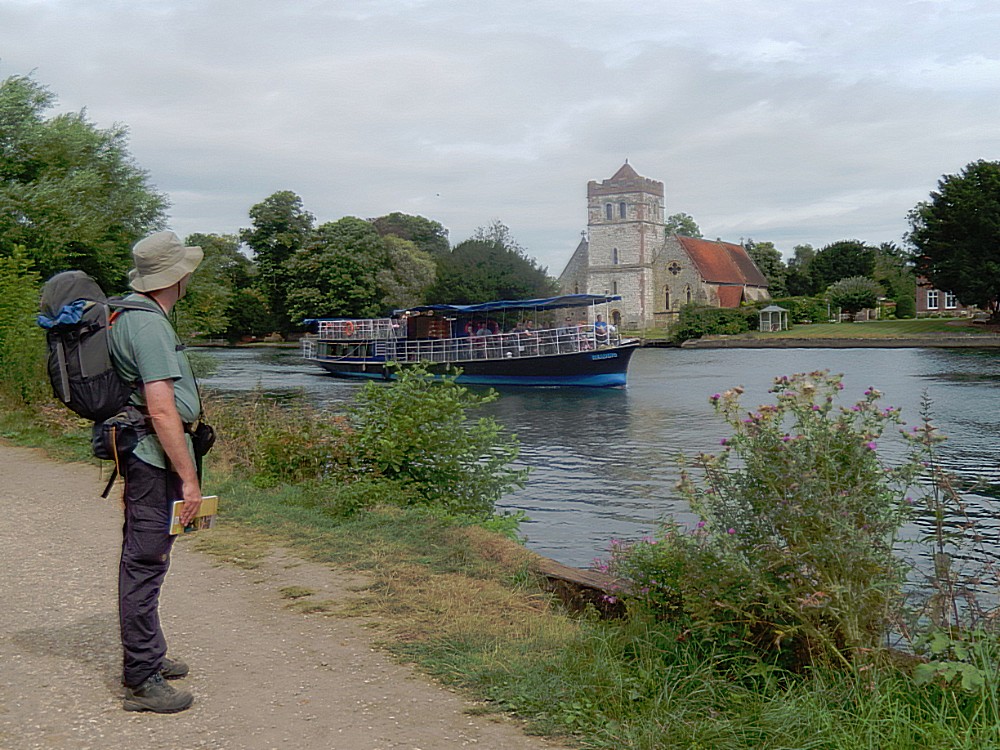
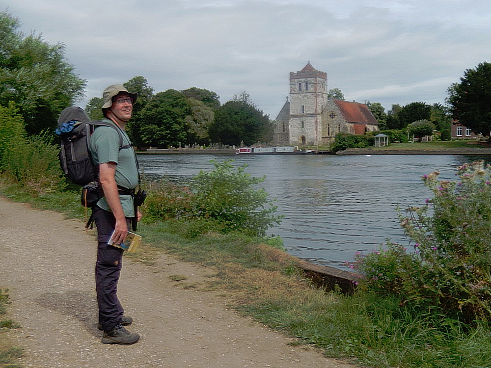
The oldest and most interesting part of this Grade-II listed church is the tower, which really ought to be viewed from the Thames Path across the river to be fully appreciated. The rest of the church has been rebuilt several times, especially under Benjamin Ferrey in 1844.
The church stands near the site of both Bisham Abbey and Bisham Priory. The priory was established by the Augustinian order in the 14th century. It was demolished at the Reformation and no traces remain. The Abbey is a manor house that was once home to the Earl of Salisbury, and is now at the heart of a National Sports Centre complex.
Then the Thames Pathwent through a green pastoral part before reaching Bisham Abbey…
Bisham Abbey
Bisham Abbey is a Grade I listed manor house at Bisham in the English county of Berkshire. The name is taken from the now lost monastery which once stood alongside. This original Bisham Abbey was previously named Bisham Priory, and was the traditional resting place of many Earls of Salisbury. The complex surrounding the extant manorial buildings is now one of five National Sports Centres run on behalf of Sport England and is used as a residential training camp base for athletes and teams and community groups alike. It is a wedding venue with a licence for civil ceremony and is used for conferences, team building events, corporate parties and private functions.
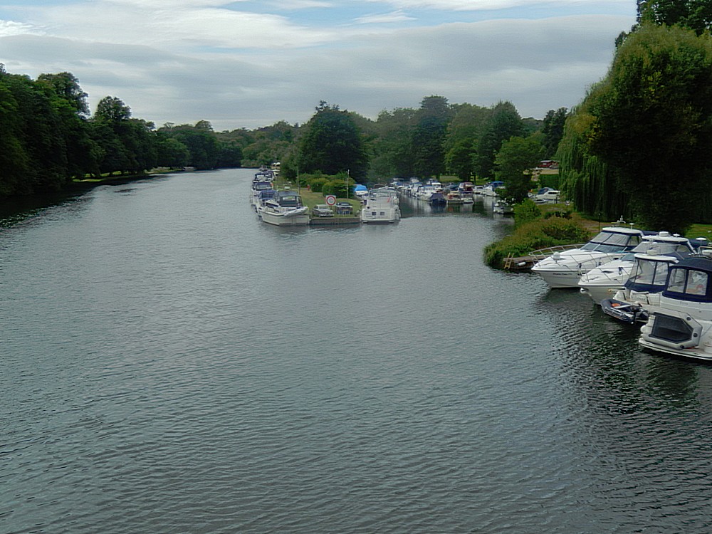
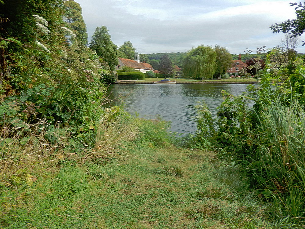 Then the Thames Path advanced passed beautiful flowerborders and passed Temple Lock towards Temple bridge…
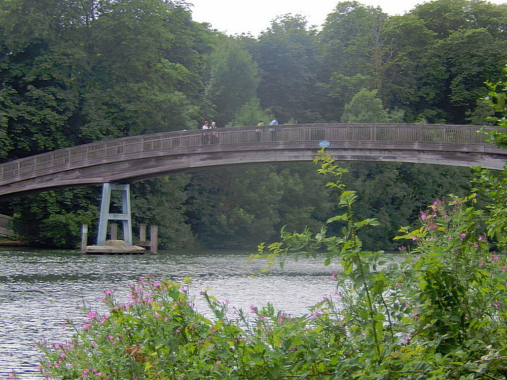
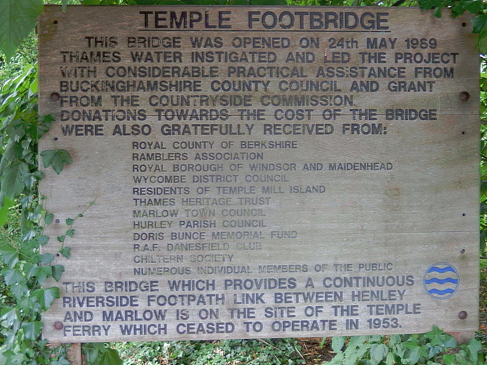
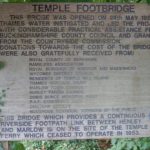
Then The Wandelgek reached the bridge at Temple Lock and cropssed it to the other side of the Thames…
There the Thames Path closely followed the river until a small island was reached.
Again a bridge led over the river to the island from where there was a good view on Harleyford Manor…
Harleyford Manor
Harleyford Manor is a country house near Marlow in Buckinghamshire.
The house is listed Grade I on the National Heritage List for England, and its gardens are also listed Grade II on the Register of Historic Parks and Gardens.
The urn to the south west of the house, the ice house to the north east, and the dairy to the north, and the temple to the north east are all listed Grade II.
In addition to the buildings, two statues of Robert Clayton, to the west and to the east of the house, are also listed Grade II.
History
The house was designed by Sir Robert Taylor in the Georgian style and built for William Clayton, a Member of Parliament, in 1753. The house was gutted by fire in the mid 20th century but remained in the Clayton family until 1950. The present owners, who have owned the property since 1952, converted the property to office use in 1988. They operate a large marina and offer boat mooring services but plan to convert the property into flats.
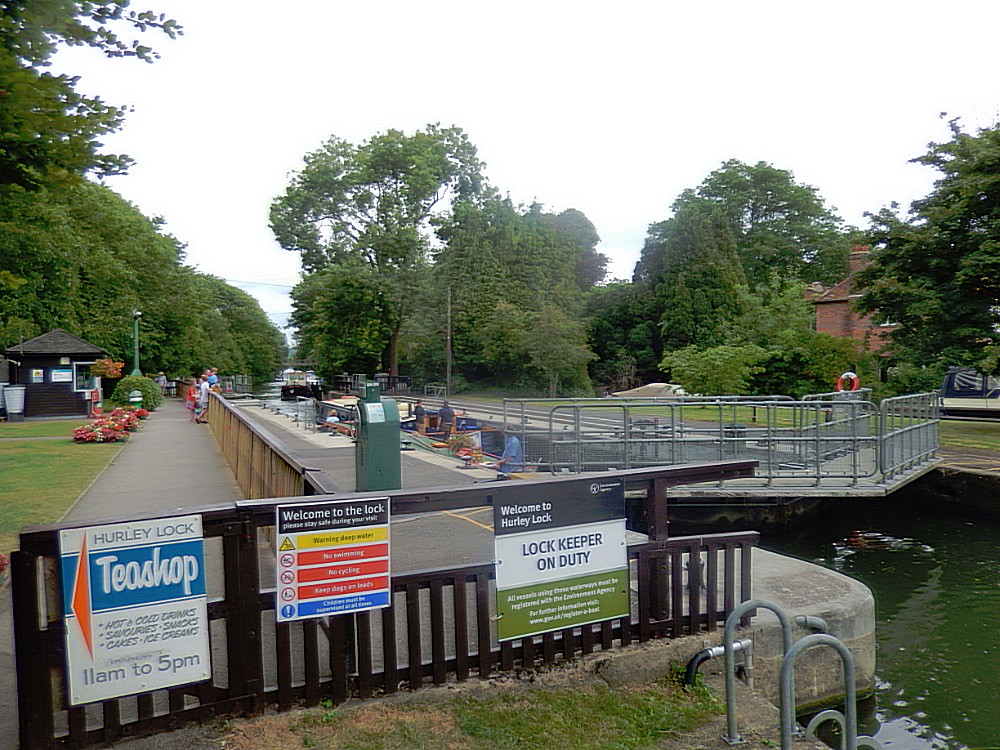
Now the path went on past Hurley Lock…
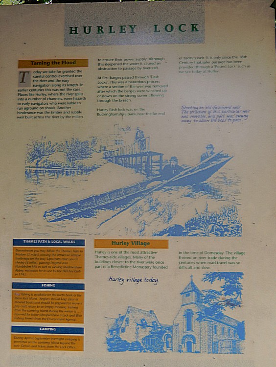
Hurley Lock
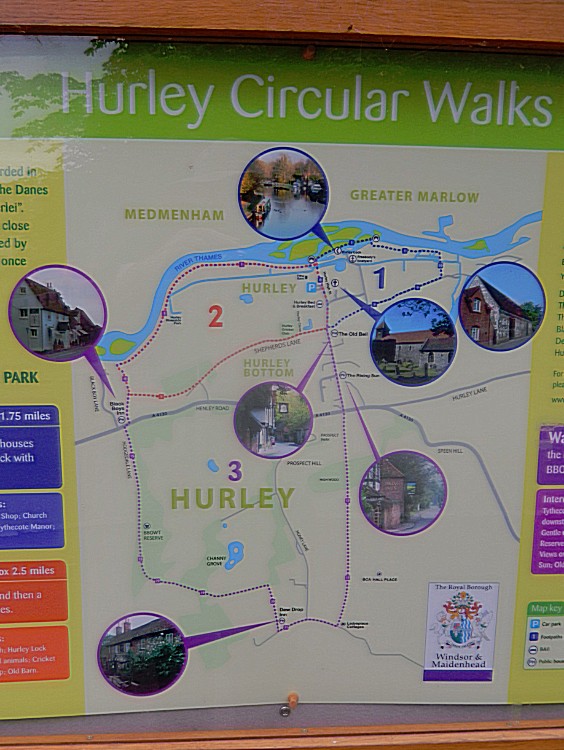
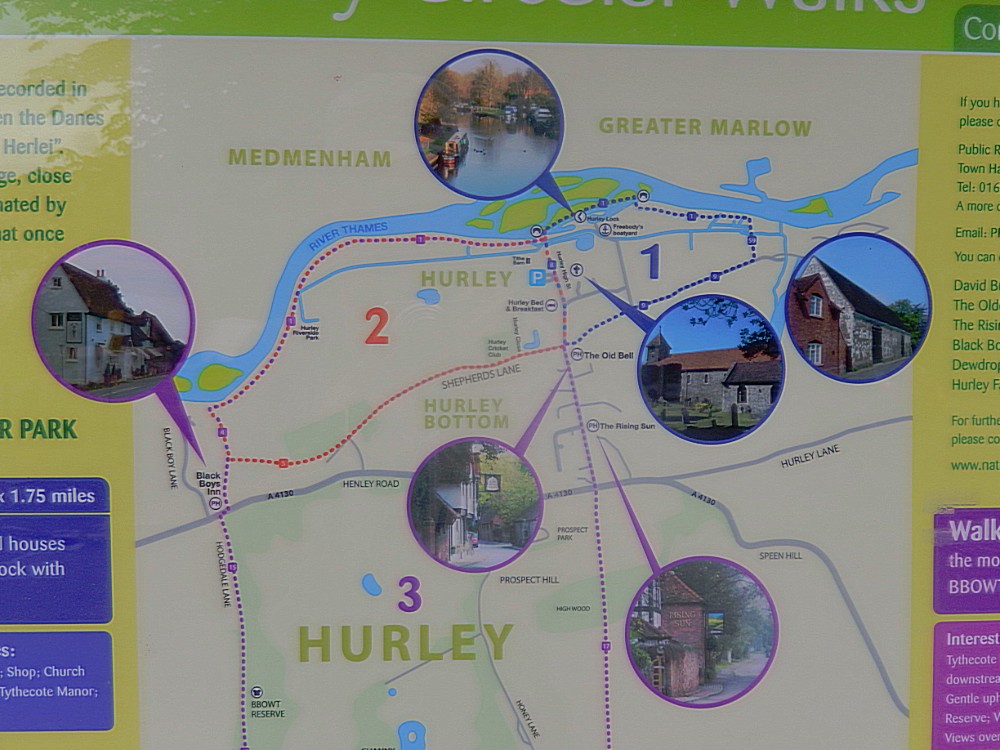
Hurley Lock is a lock and weir on the River Thames in England, situated in a clump of wooded islands close to the village of Hurley, Berkshire. The lock was first built by the Thames Navigation Commissioners in 1773.
There are several weirs between the islands but the main weir is upstream between the topmost island and the Buckinghamshire bank. The weir is popular with kayakers whenever conditions are favourable, and it is very busy at weekends.
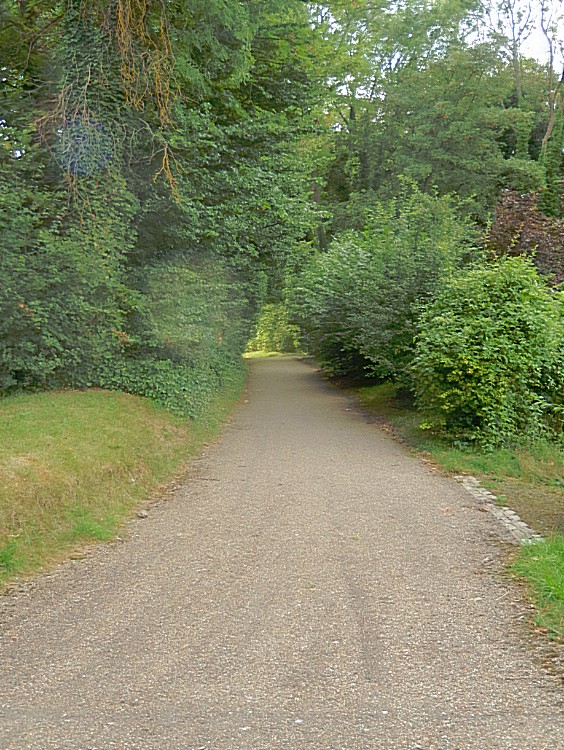
There were 2 bridges of the island towards into Hurley. The Wandelgek took the second one and deviated from the Thames Pathe following a small road surounded in lush green and colourful flowers into the village…
Hurley
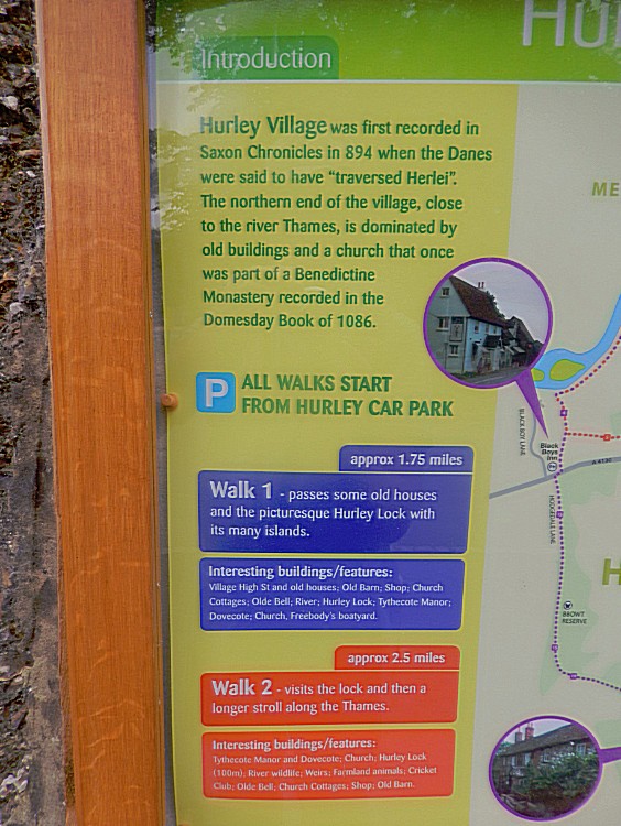
Hurley is a small village and large, rural civil parish in Berkshire, England. Its riverside is agricultural, except for Hurley Priory, as are the outskirts of the village. The adjoining inn is believed to date to 1135.
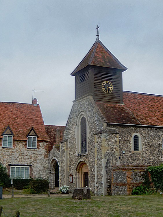
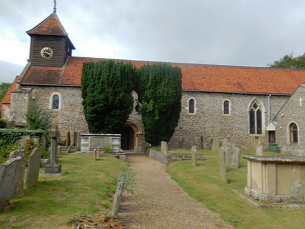
Then the road reached the beautiful remains of the Benedictine Priory and its graveyard…
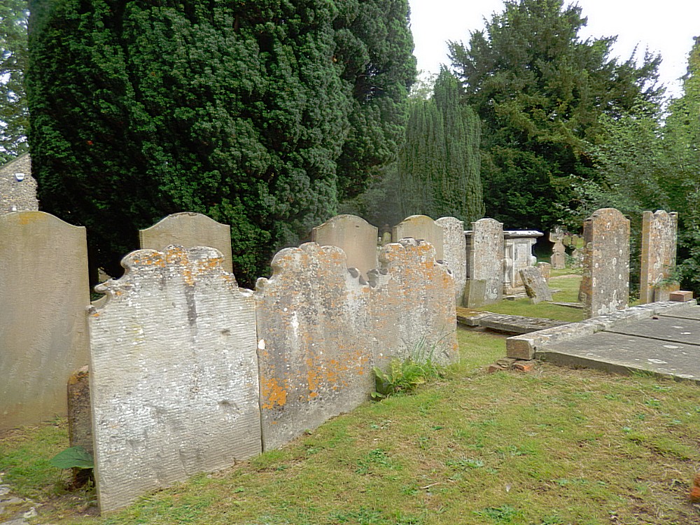
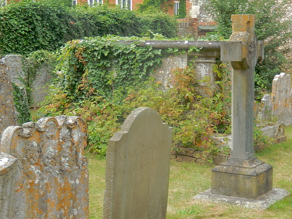
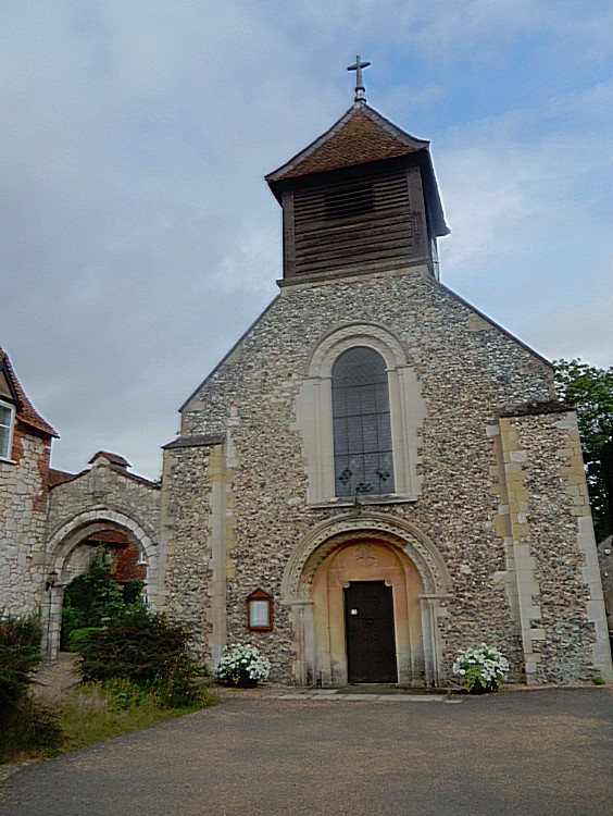
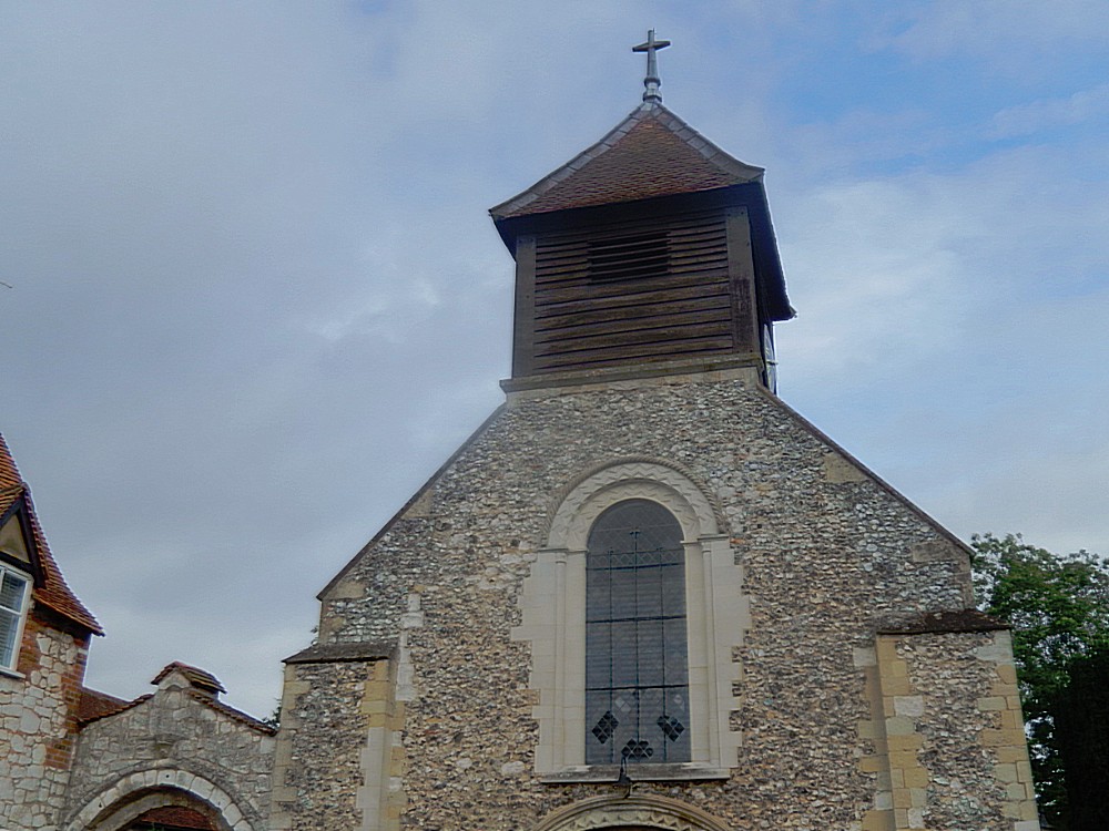
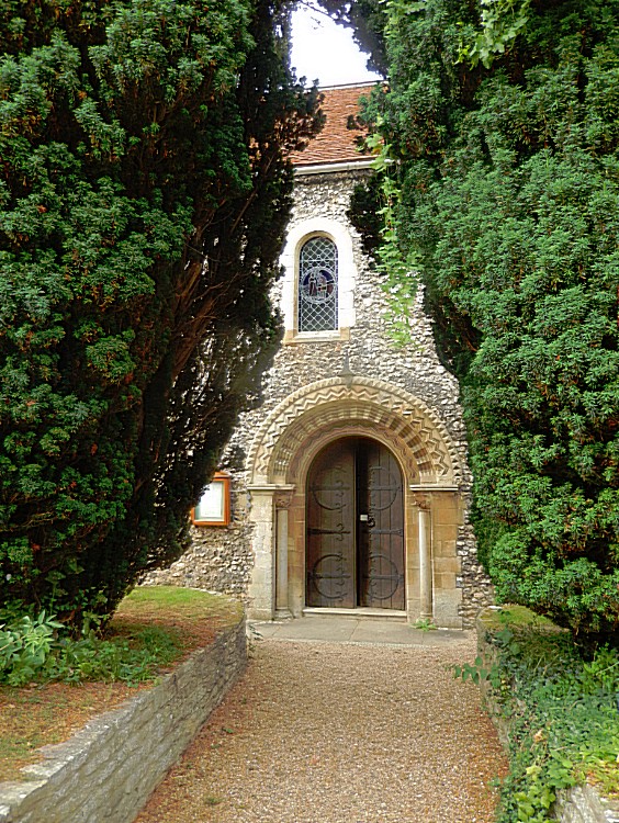
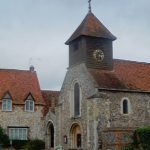
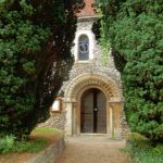
By the river is the Scheduled Ancient Monument, Hurley Priory, a partially moated Benedictine priory founded in 1086 as a cell of Westminster Abbey. The priory was dissolved in 1536, but its priory church survives as the current parish church.
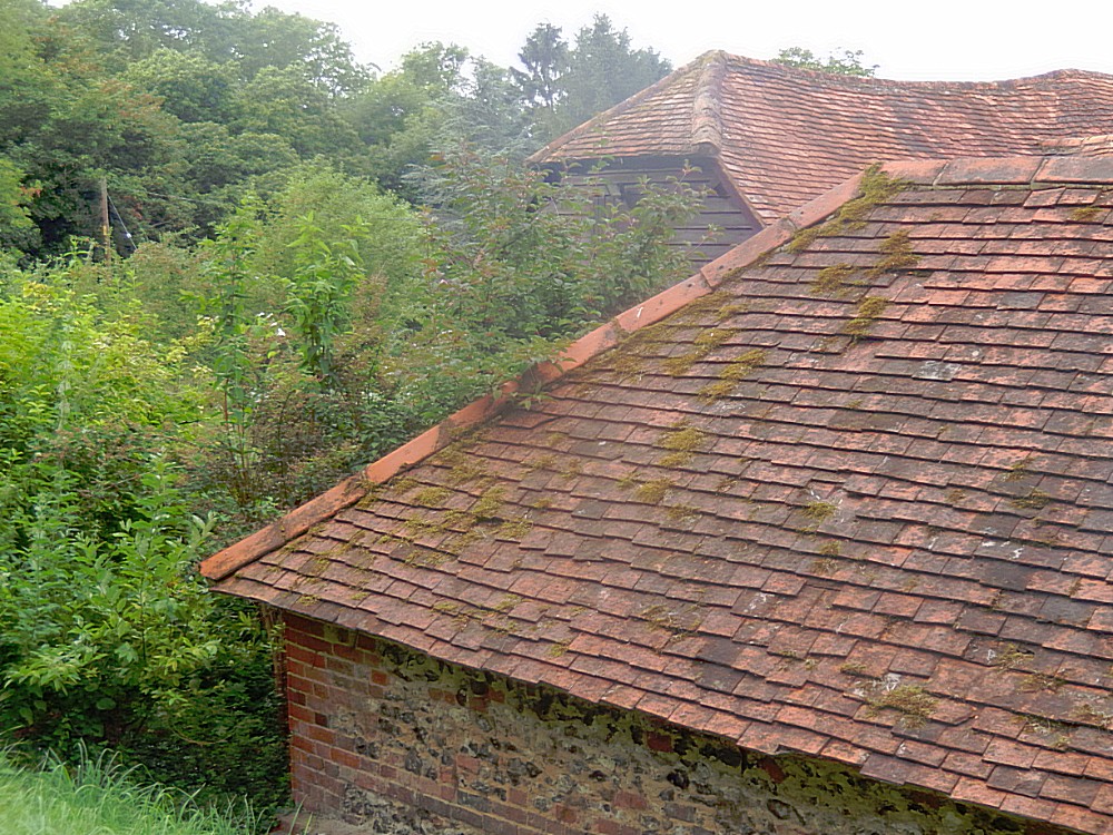
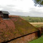
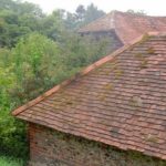
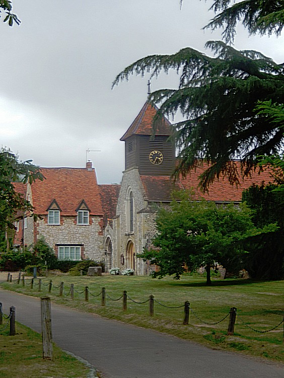 On the church square was another old building. A farm shed…
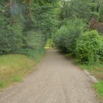
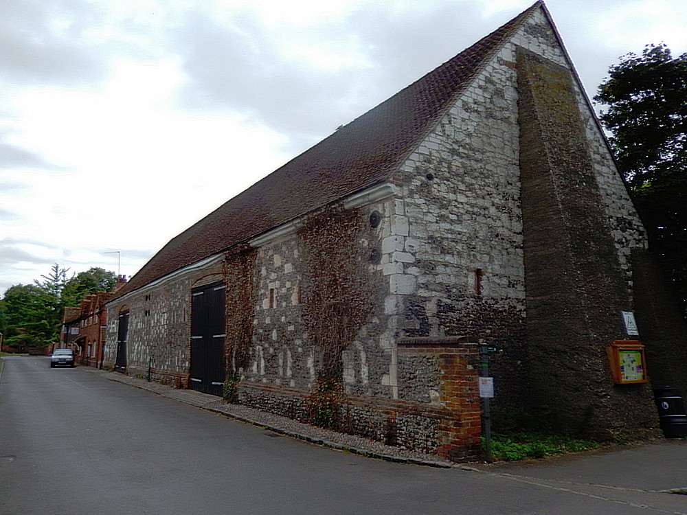 The village of Hurley was quite beautiful (beneath two pictures from Google Maps from a location on Mill Road) …
Then I returned towards the river Thames an started following the Thames Path again…
Frogmill
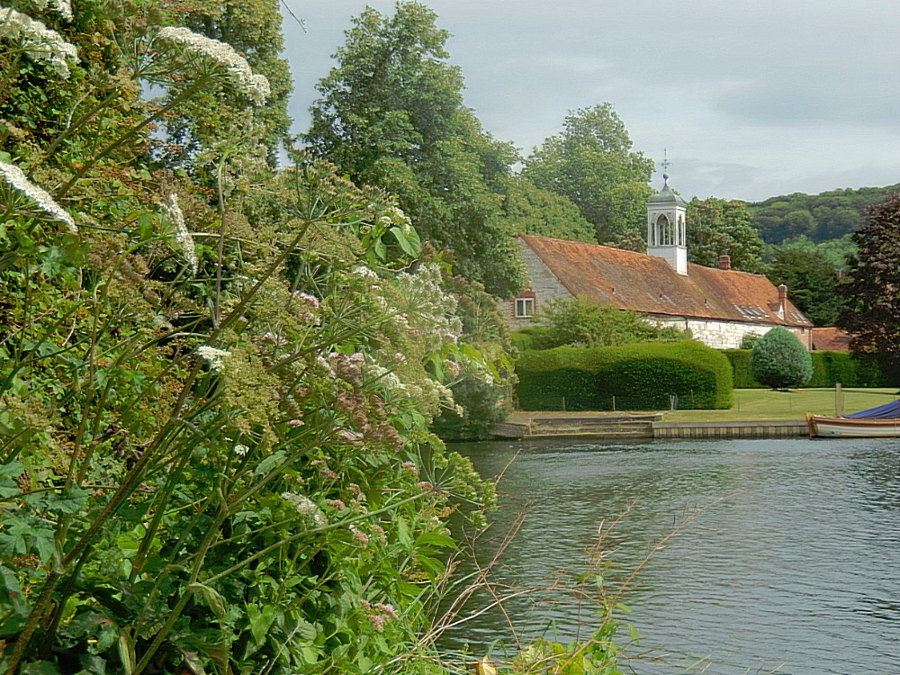
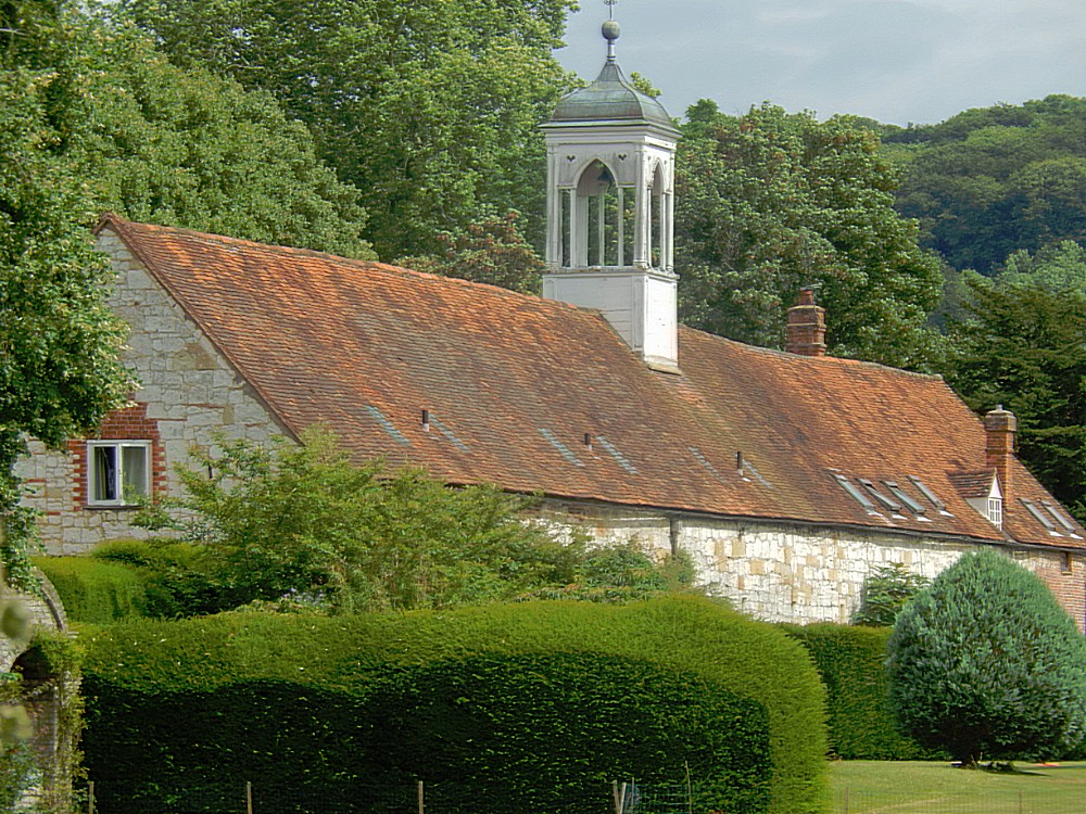
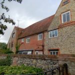
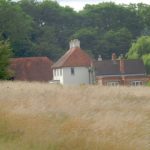
Near two islands, the path passes a few barns with their stone-and-flint patterning, now residential, at Frogmill Farm…
After passing the islands, the path unexpectedly makes a short-cut through kissing gates and meadows and another kissing gate, to join the tow path again.
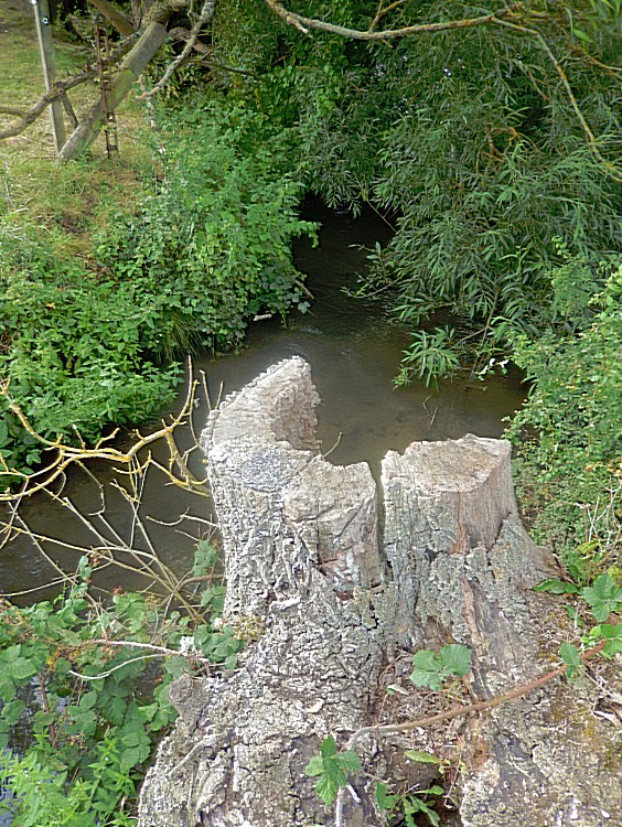
Here The Wandelgek deviated a little bit from the Thames path on to the tow path towards the previously not followed river bend. The tow path was here a bit overgrown with plants because tis part definitely attracted less walkers.
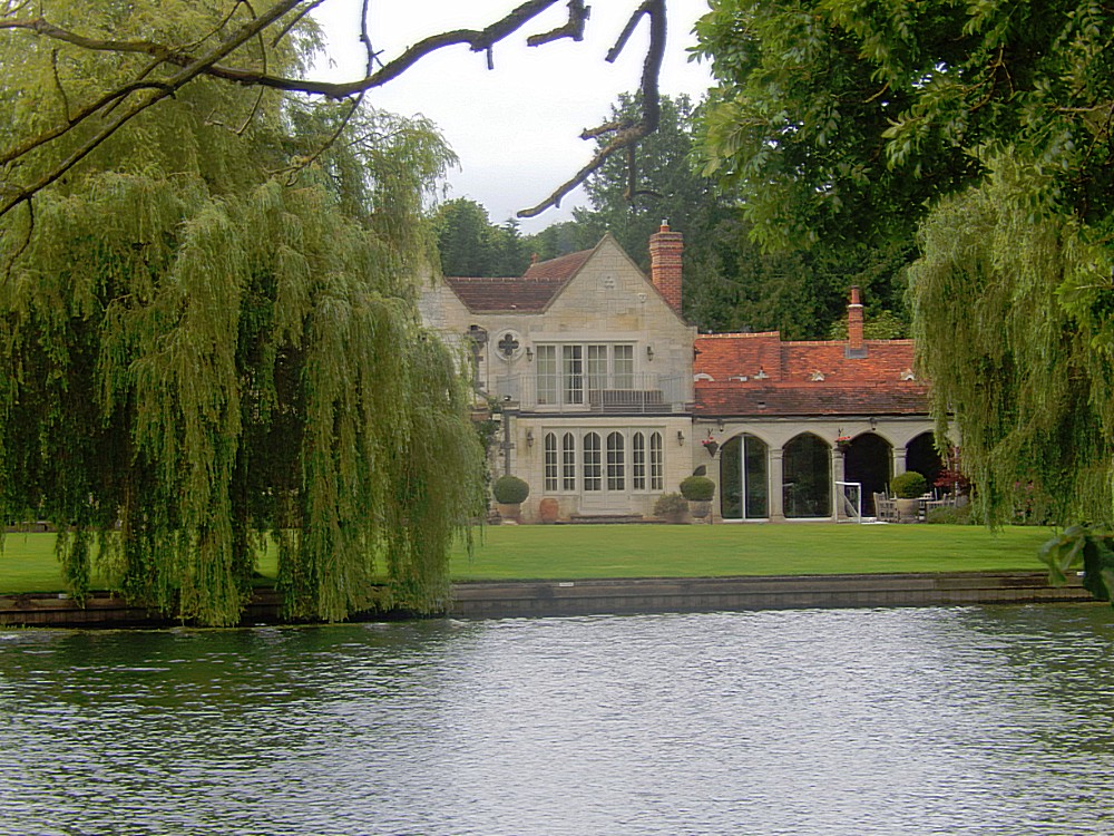
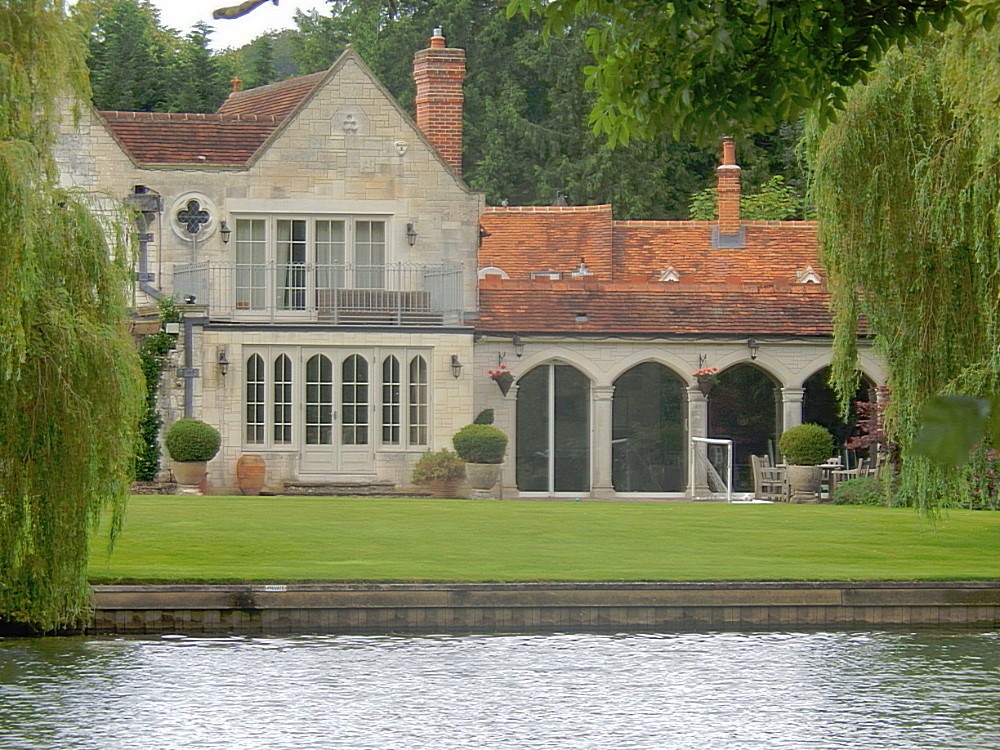
At the other side of the river were two beautiful buildings:
Medmenham Abbey
A Cistercian abbey was founded in Medmenham in the 12th century under the ownership of Woburn Abbey, though it was not officially recognised by royal charter until 1200. In 1547, at the Dissolution of the Monasteries, the abbey was seized and given to the Moore family and then sold privately to the Duffields. It was while in the possession of the Duffields that the abbey became infamous as the location of The Hellfire Club, formerly called the Monks of Medmenham.
In 1755, when Sir Francis Dashwood acquired the ruins of the ancient abbey from the Duffield family, he and John Montagu, 4th Earl of Sandwich attended a service at St. Peter’s parish church in Medmenham where Sandwich released a small monkey in the church. The congregation fled in horror, sure that Satan himself had invaded their place of worship.
Today the abbey is a private residence and is not open to the public.
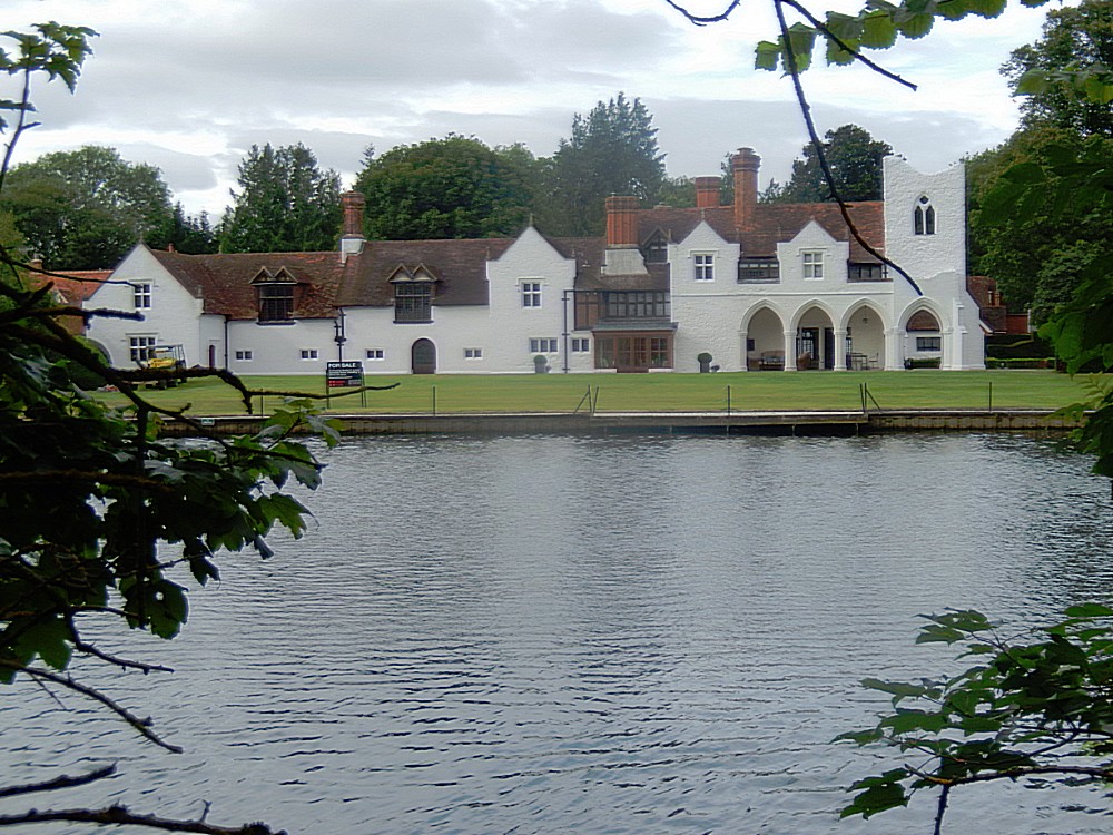
This house was next to Medmenham Abbey and although I could only find one other mention and picture of this house on the web, I do have to agree with this source that it probably once was part of the St Mary’s Abbey complex. I deduct this from the typical Abbey style windows and the cloister like gallery…
 Past Medmenham, the Thames Path followwed the old tow path again and slowly the country to the left began to get more steep.
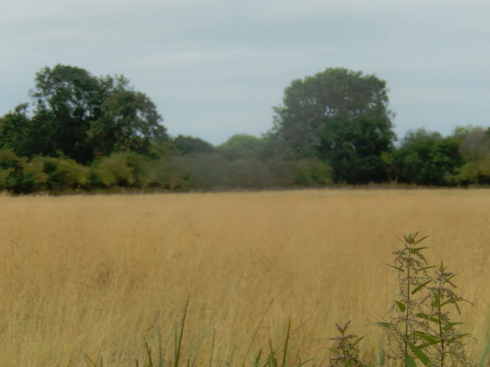
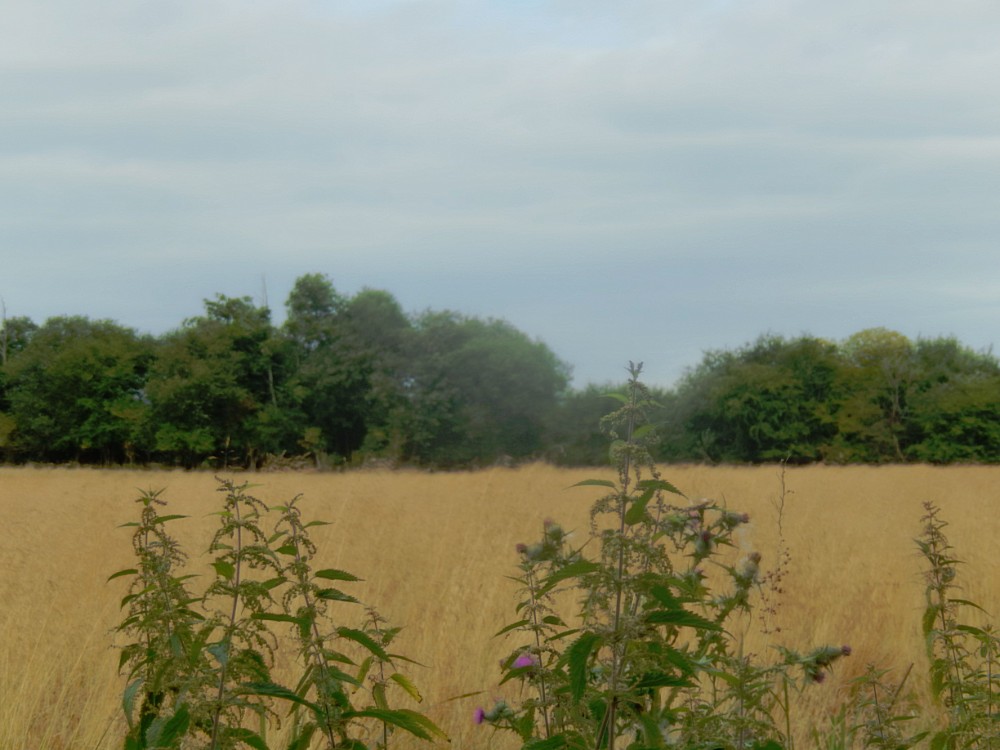
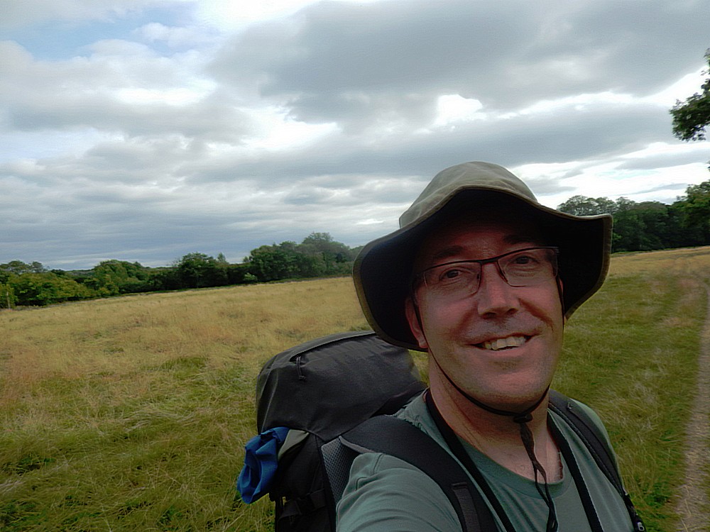
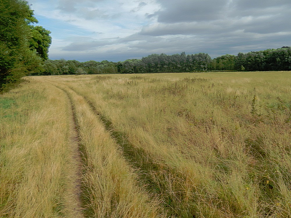
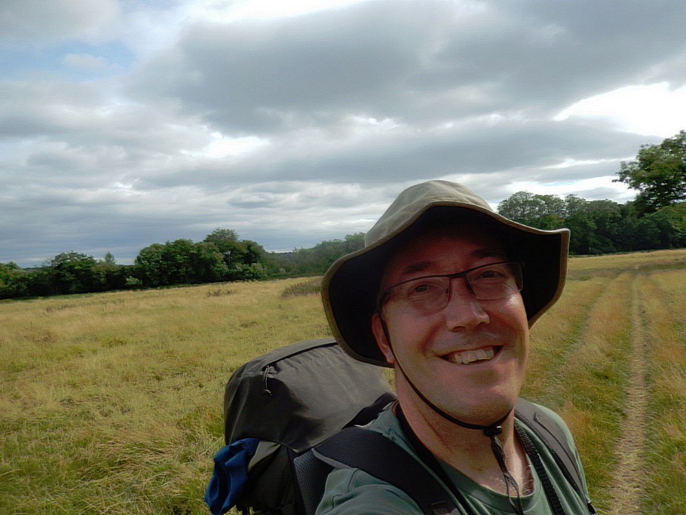
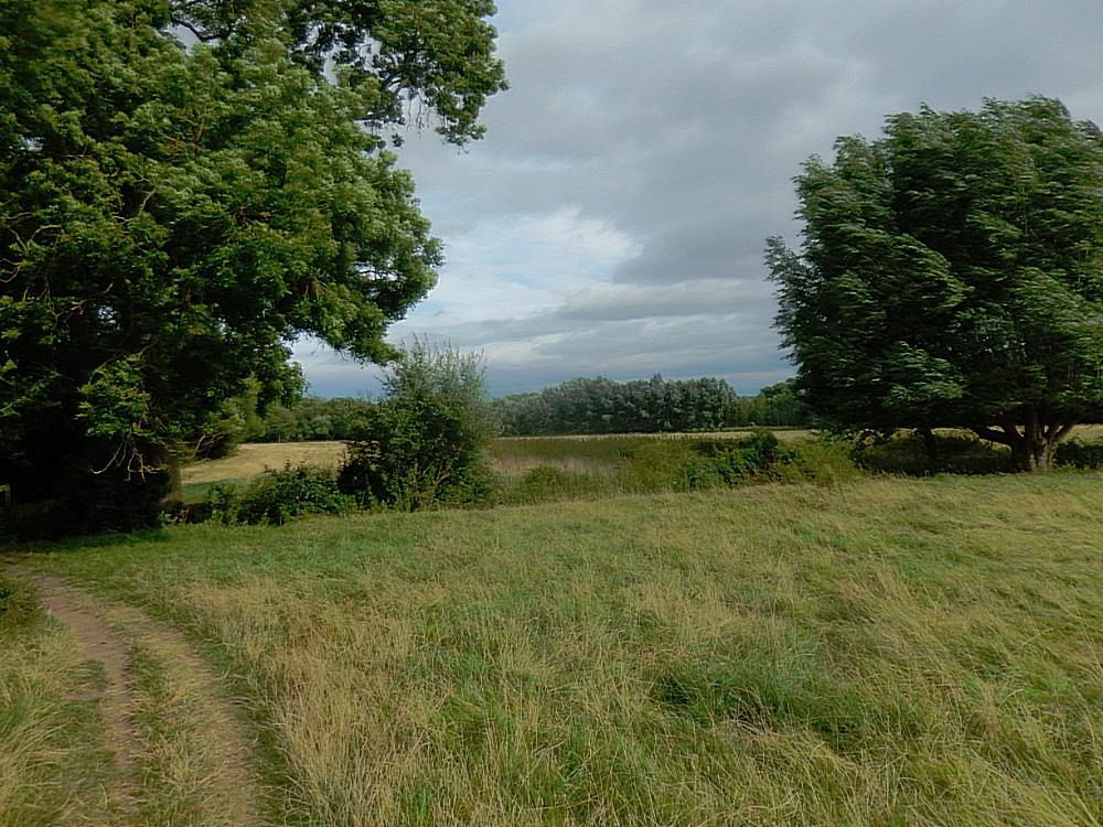
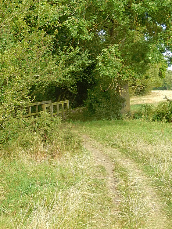
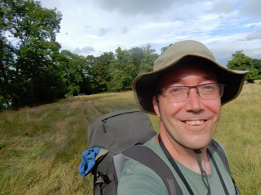
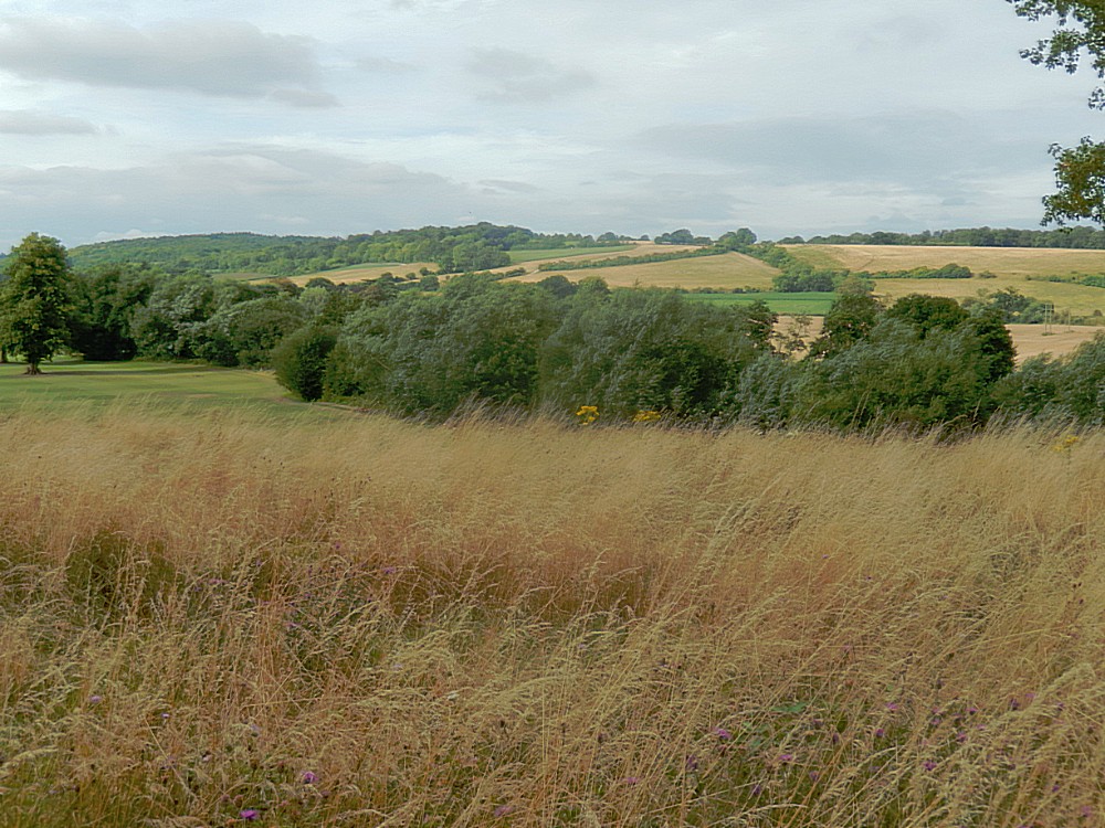
After passing Lower Culham Farm and later a foot bridge, the road suddenly left the river and went up towards a tar road from Lower Culham Farm towards the village of Aston. The sun gradually showed itself more and walking through the fields of rural England I couldn’t help feeling anything other than GREAT 😀 !!!
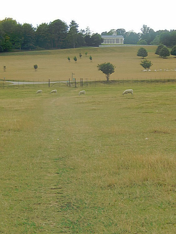
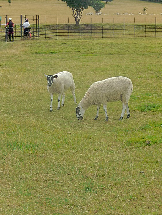
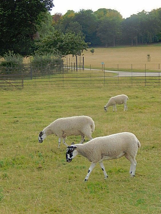
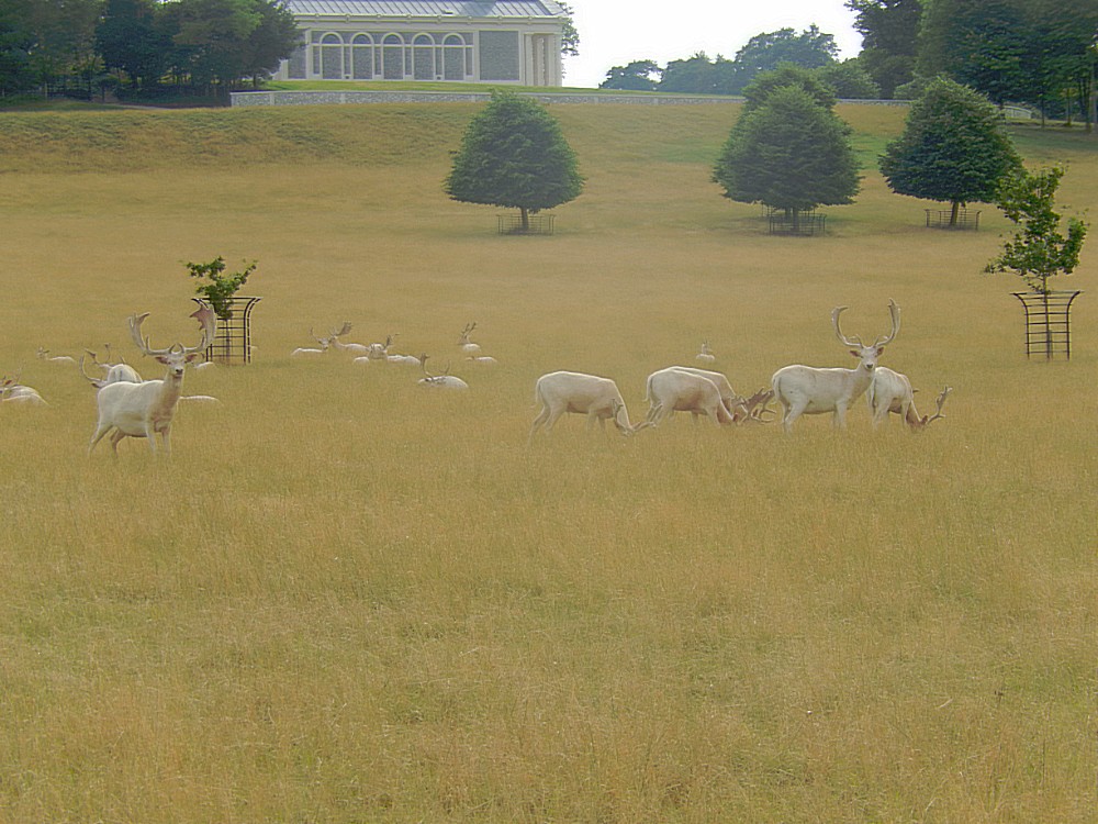
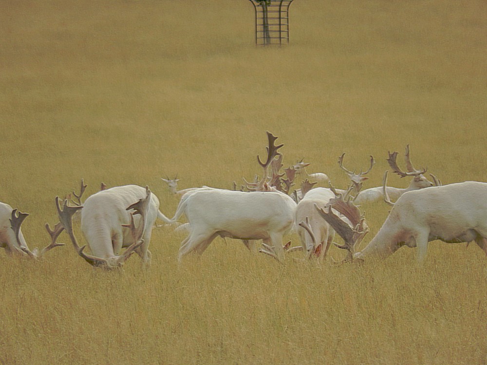
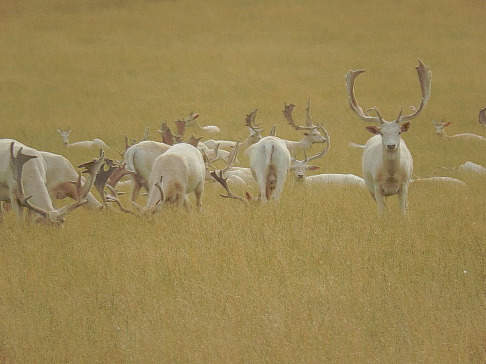
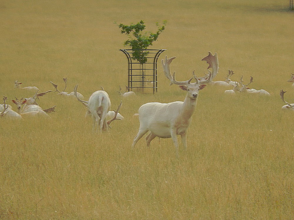
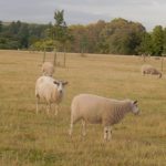
And then the tar road appeared and it led away from Lower Culham Farm towards Aston, passing Culham House, way up on top of the hill, overlooking meadows occupied by sheep and by completely white deer. I never had seen white deer (I did see a white reindeer before but that was probably in a late winter fur coat), and I admired the stags with their completely white antlers. I suppose that this couldn’t be a winter coat anymore, because it was August and high summer…
Culham House
The Wandelgek kept following the road which led first to the estate of Fulham Court, but before the road reached this estate, the Thames Path deviated downhill and back to the river and then crossing neatly kept grassy meadows of Culham Court…
Culham Court
Then the Thames Path reached beautiful Holme Farm, just before reaching Aston…
Holme Farm
Aston
Past Holme Farm, the Thames Path joined the tar road again and led through beautiful pastoral Aston and down to the river Thames again.
Aston is a hamlet set back by one short access lane from the Thames further to the east of Henley-on-Thames than Remenham village centre, both offset to the north. Less than 1 mile (1.6 km) separates the two, however this is a green buffer that is farmed. No properties front the river here which is left as natural flood plain grazing land and the hamlet has only one listed building, Aston Farmhouse, at Grade II.
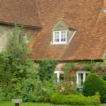
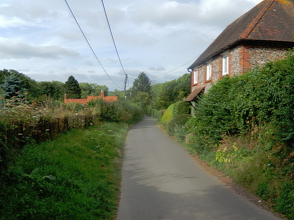
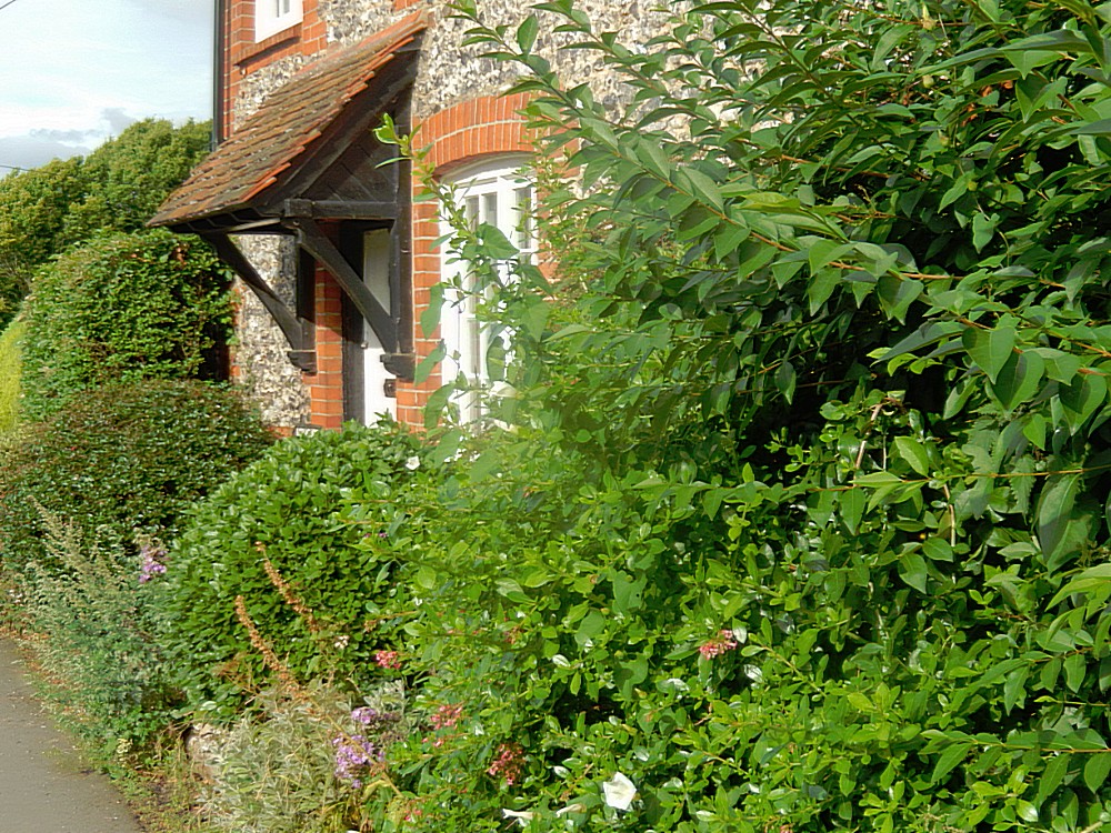
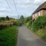
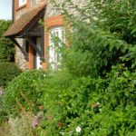
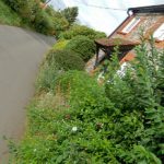
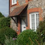
I loved this place immediately and it had a Hobbit feel to it, meaning it looked cozy and homely. Judge for yourself because I stopped walking and really started making pictures capturing this rural treasure…
Leaving Aston the road went down towards the Thames and at the river a the tar road ended and The Thames Path followed the old towing path again through another beautiful river bend. Just before rounding the bend, on the other side of the river I saw a very beautiful little village named Mill End…
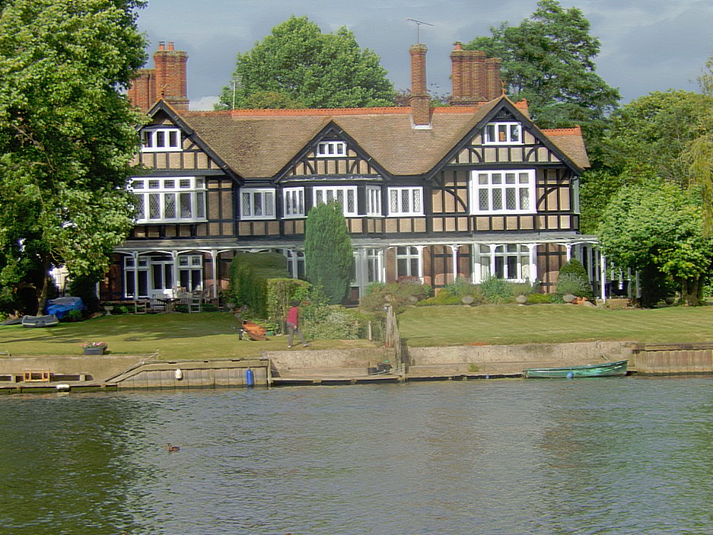
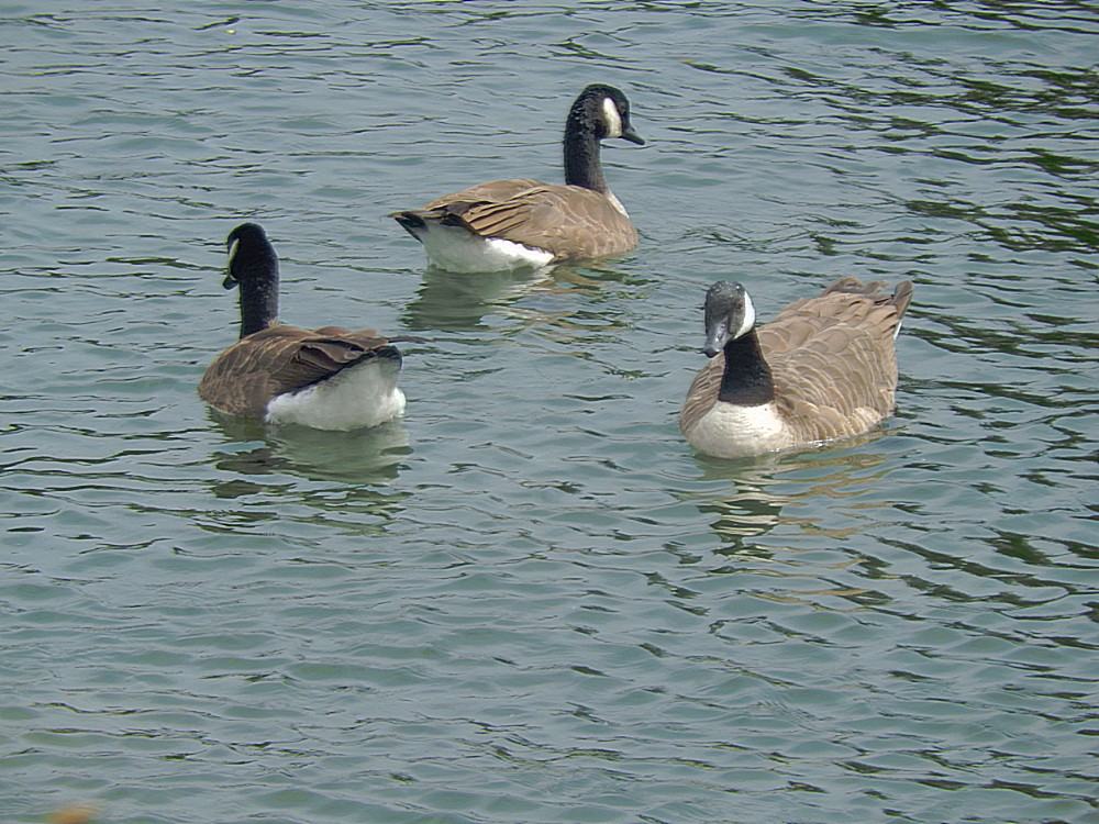
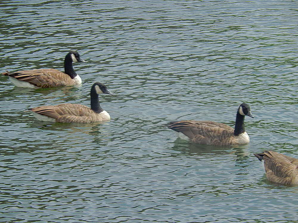
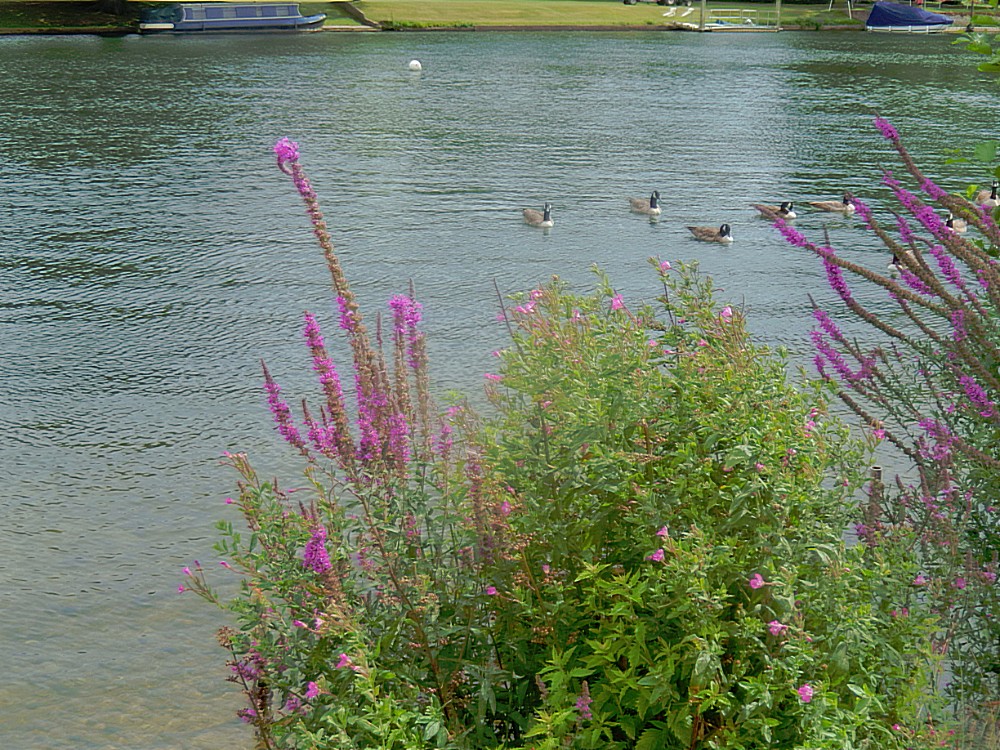
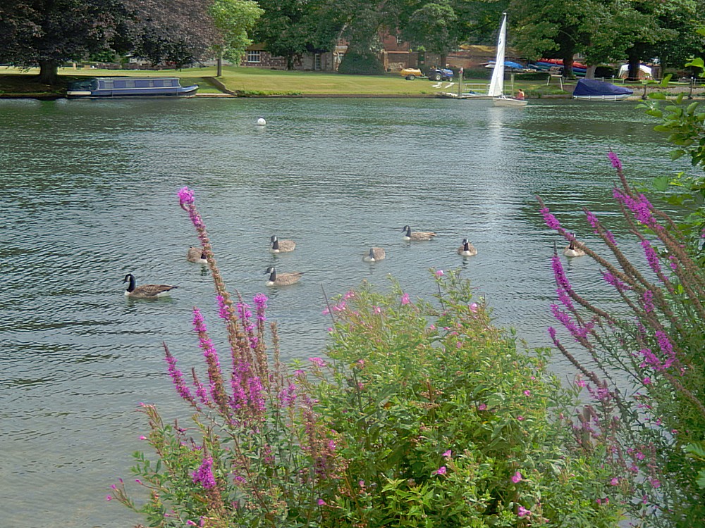
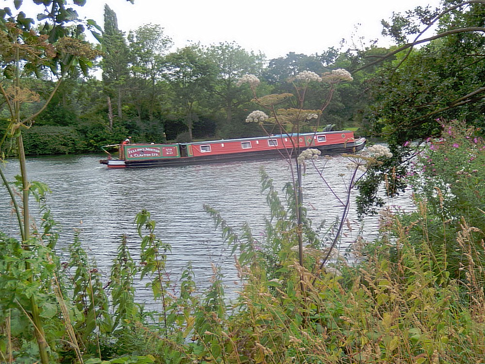
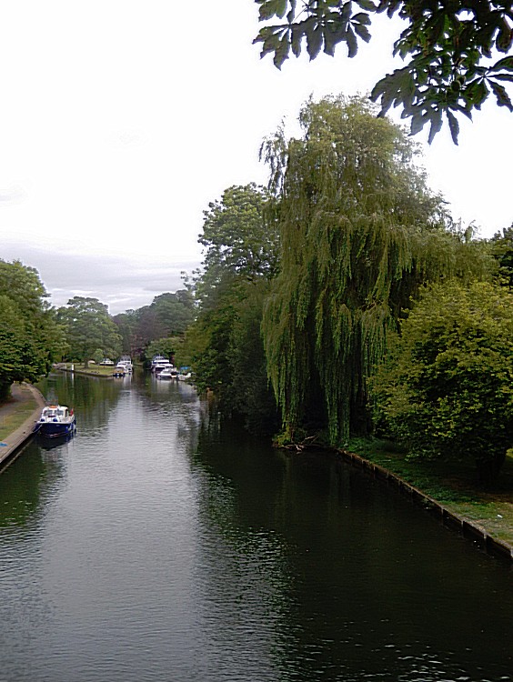
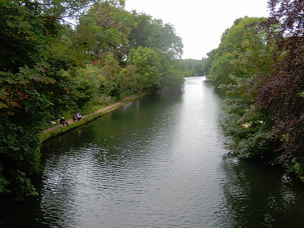
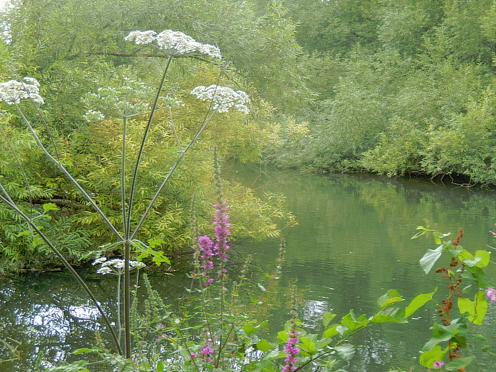
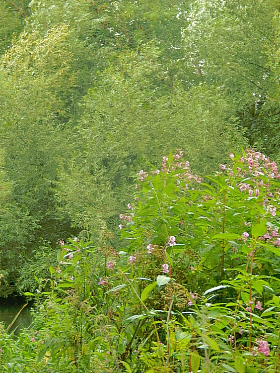
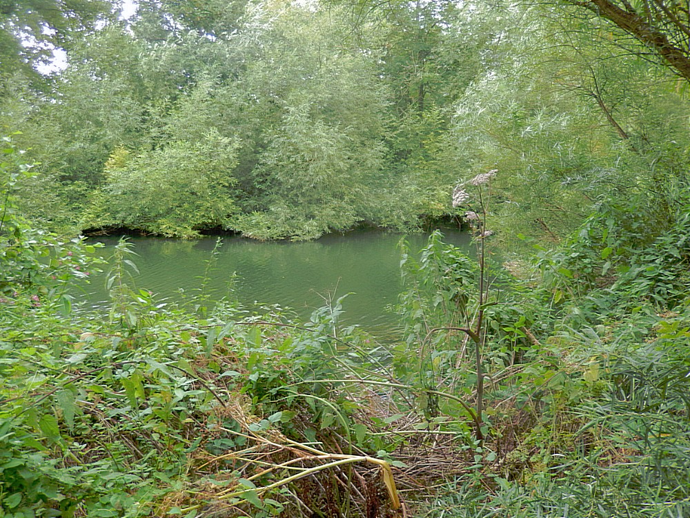
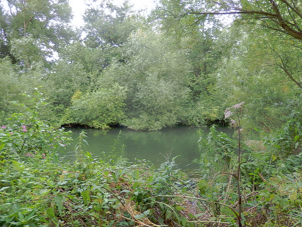
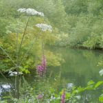
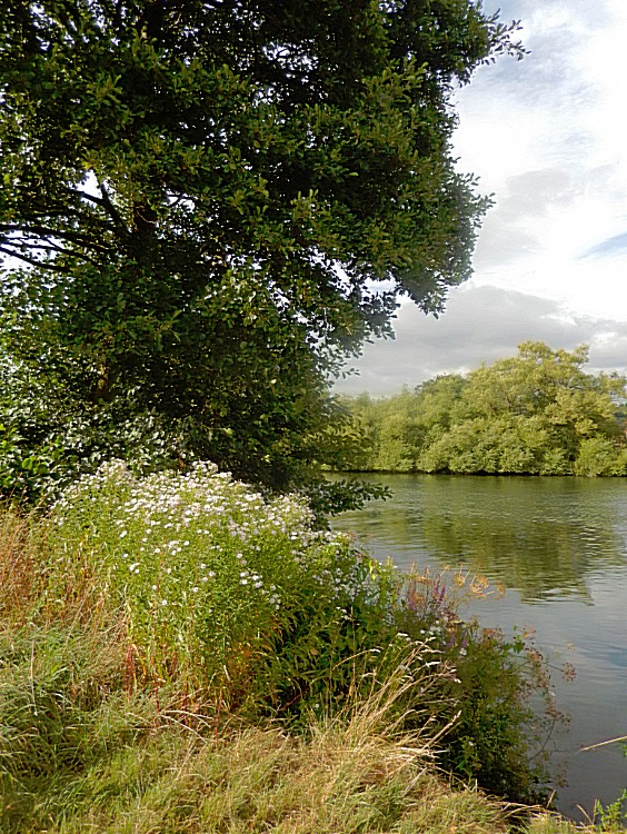
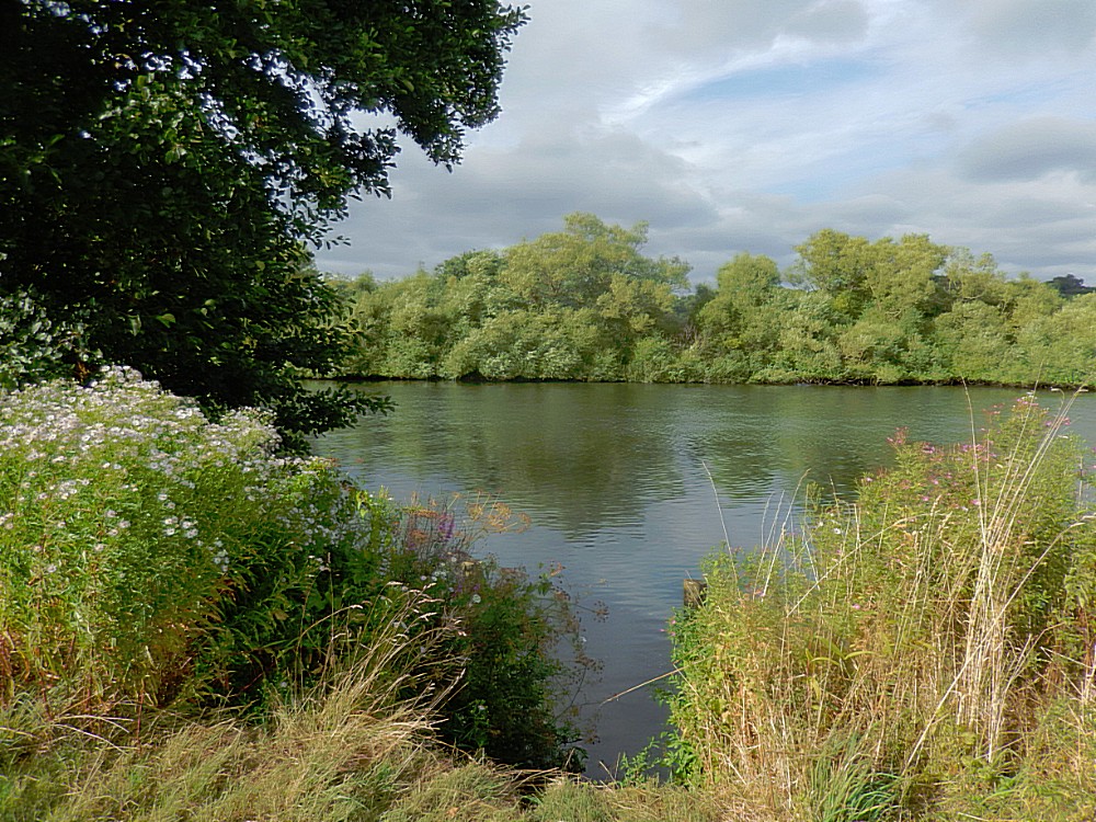
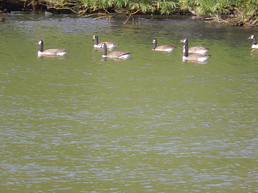
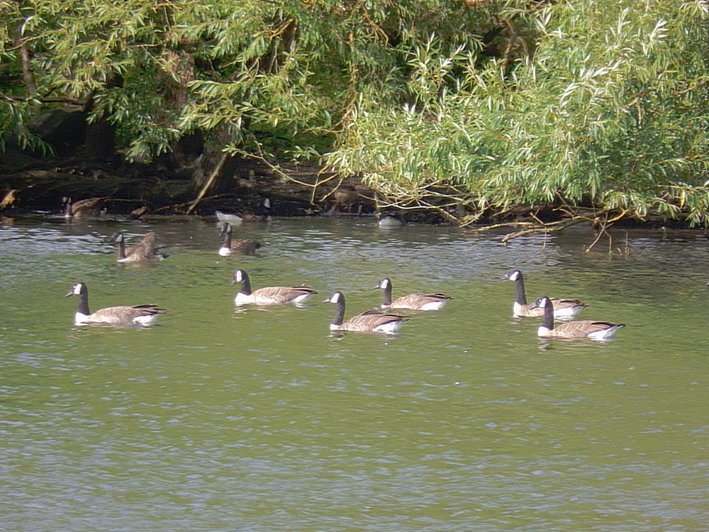
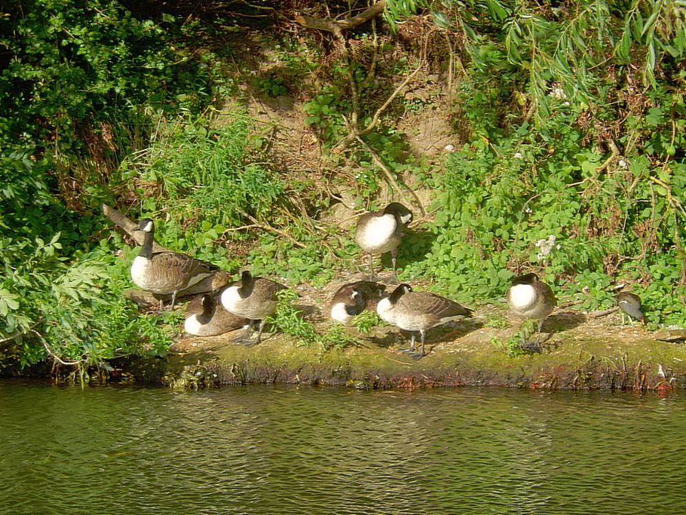
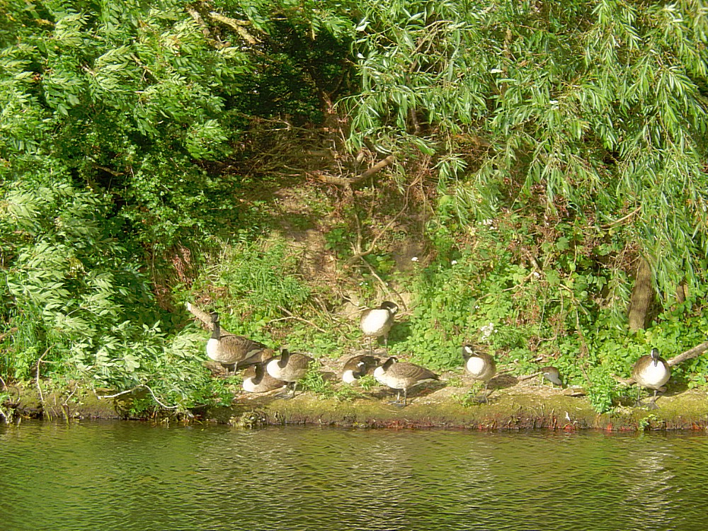
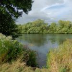
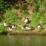
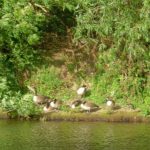
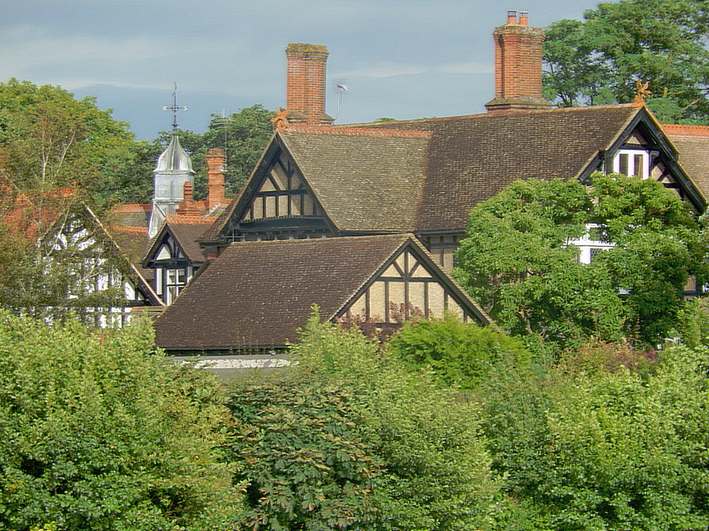 The nature of the River was in full bloom and I now completely understood where Kenneth Grahame and Ernest Shepard got there inspiration from… I passed some green river islands and I imagined Ratty and mole having a picnic somewher at the embankment, watching the geese float by and sometimes I even thought I saw a Flower Fairy peeping through the thickets, quickly hiding again as I came by…
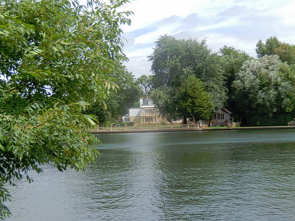
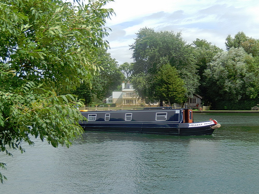
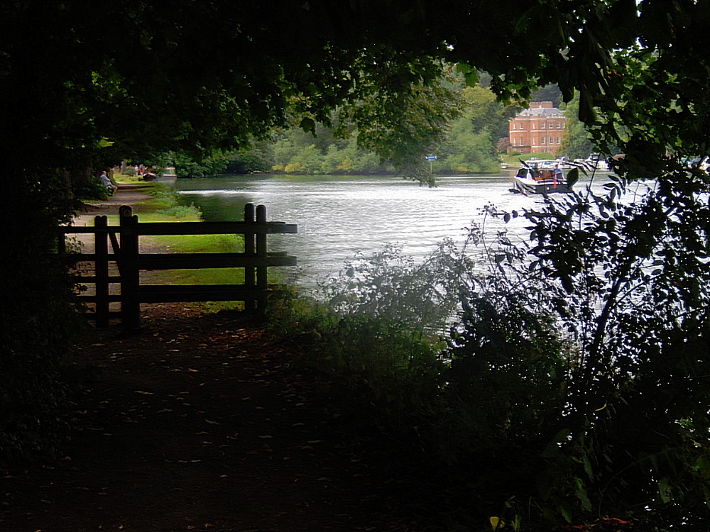
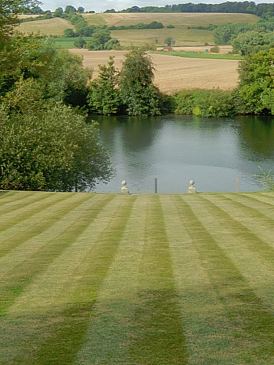
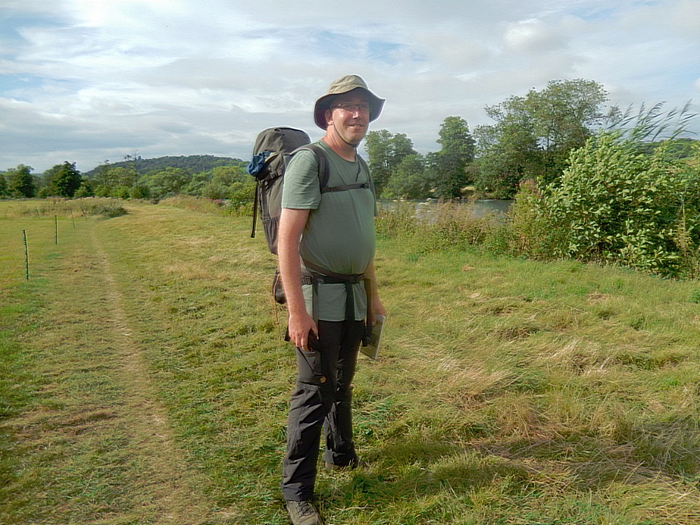 In the center of the river bend I saw a beautiful white country estate and I knew that was the place I would spend the night :-D.
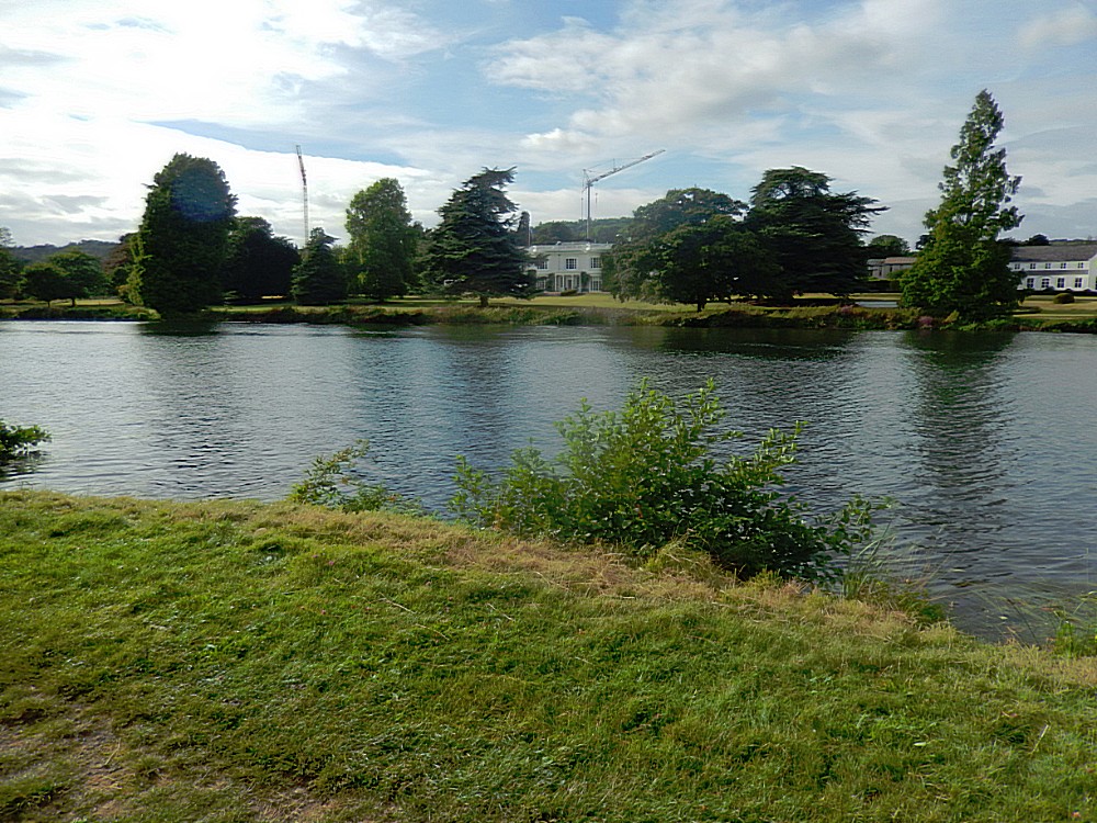
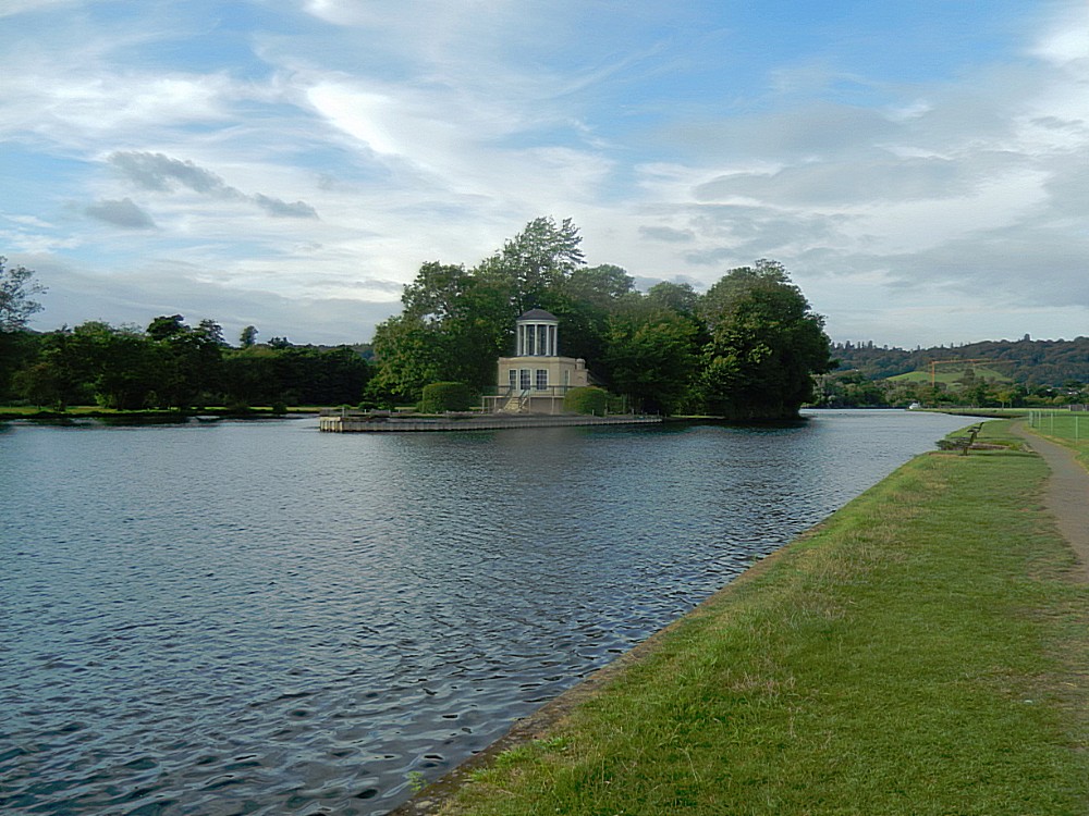
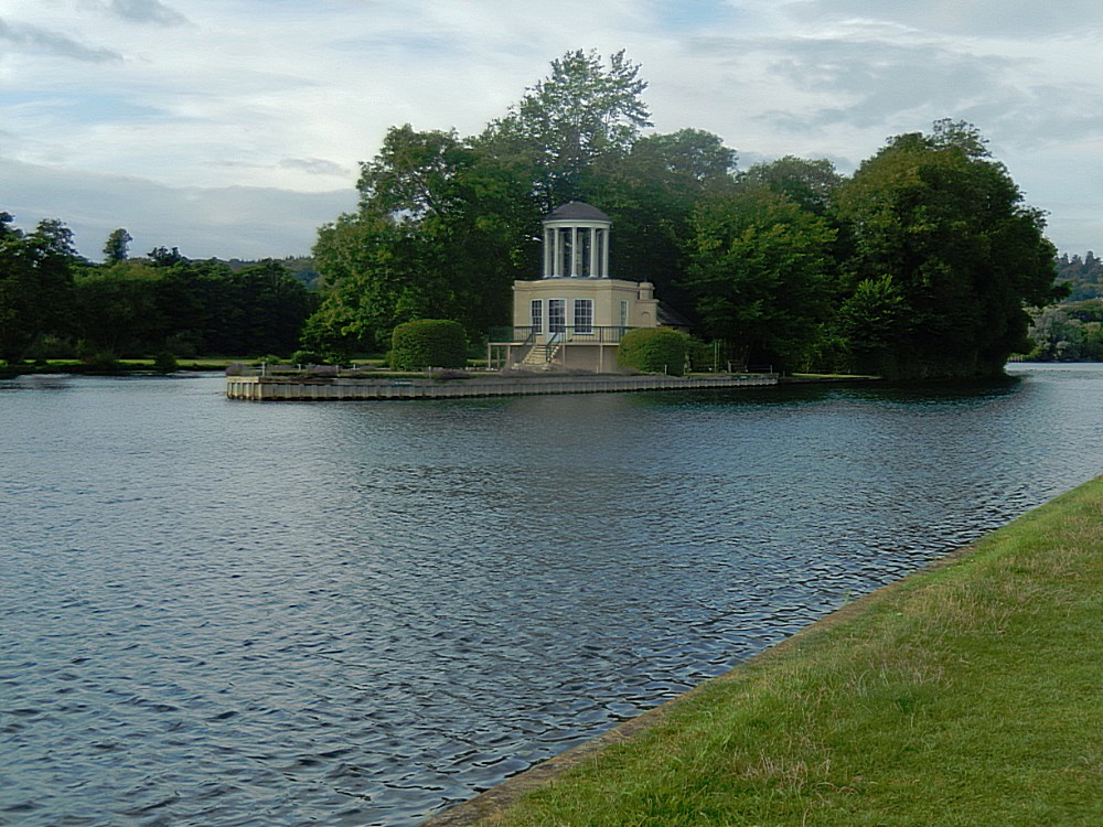
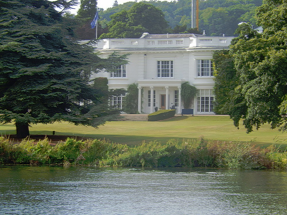 But to reach that paradise I had still some kilometers to walk. First the path passed beautiful Temple Island…
Temple Island
Temple Island is an island in the River Thames in England just north (downstream) of Henley-on-Thames, Oxfordshire. The island is on the reach above Hambleden Lock between the Buckinghamshire and Berkshire banks, and is part of Remenham in Berkshire. The main significance of the island is that it lies at the start of the course for Henley Royal Regatta.
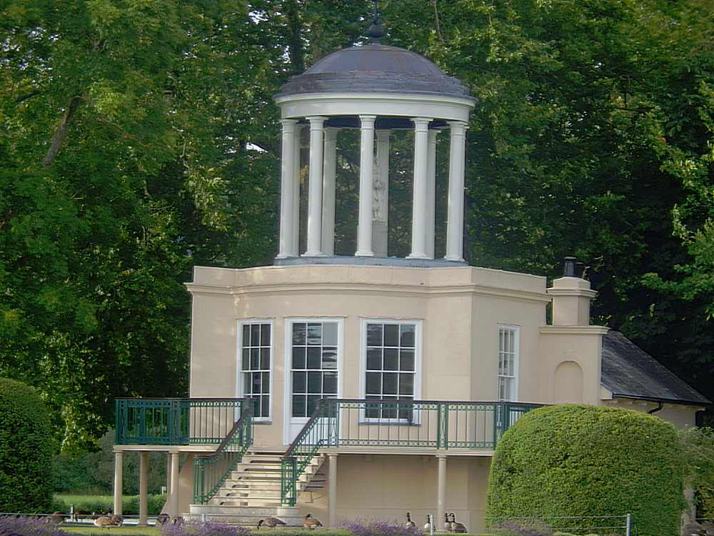
The island includes an elegant ornamental temple (a folly) designed by the 18th century English architect James Wyatt and constructed in 1771. It was designed as a fishing lodge for Fawley Court, a nearby historic house that Wyatt also remodelled in the 1770s on the commission of its owner, Sambrooke Freeman. Wyatt designed both the structure of the building and its interior decoration; it is likely that he also provided designs for the original furniture. The wall paintings in the principal room are thought to be the earliest surviving example of the Etruscan style in Great Britain, predating more famous examples such as the Etruscan Dressing Room at Osterley Park by Robert Adam.
In the 19th century, the island’s ownership passed, with Fawley Court, from the Freeman family to the Mackenzie family. In 1952, upon the death of Roderick Mackenzie, Henley Royal Regatta asked his daughter Margaret for ‘first refusal’ should she ever decide to sell the island. It is not clear whether an understanding was reached. By the early 1980s, the advent of corporate entertaining greatly increased the potential value of the island. In 1983 the Stewards of the Regatta again began making overtures to Margaret Mackenzie but in 1986 the island was placed on the open market.
Supported by a gift of £515,000 from Alan Burrough (a Steward of the Regatta) and his wife Rosie, in December 1987 the Regatta was able to purchase a 999-year lease of the island and the temple. Following the purchase, the Stewards of the Regatta undertook restoration works to the island and the temple:
The downstream portion of the island was retained as a nature reserve and was extensively replanted with trees.
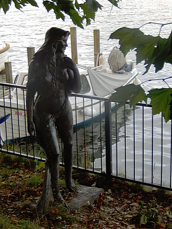
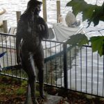
The Victorian balcony which had decayed was replaced. The wall paintings, which had deteriorated and had been badly over-painted, were repaired and brought back to the colours originally intended by Wyatt. A statue of a nymph, in keeping with the style and age of the Temple, was placed under the cupola.
 Then the last stretch of todays Thames Path went past Remenham.
Remenham
Remenham is een dorp in het Engelse graafschap Berkshire. Het dorp ligt in het district Wokingham en telt 547 inwoners.
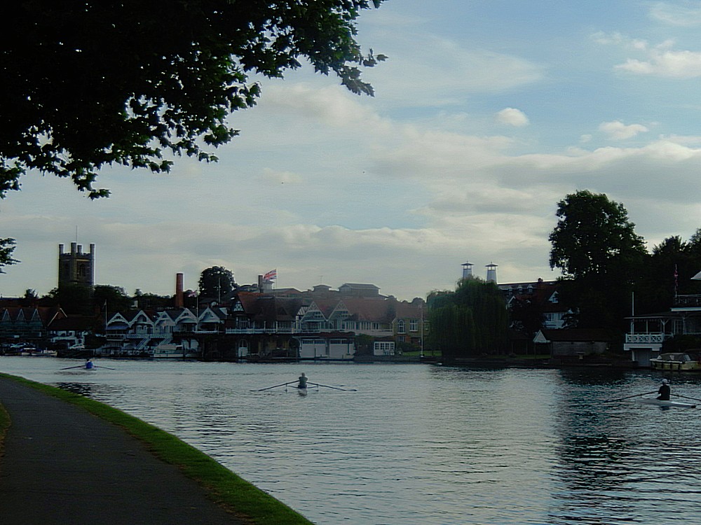
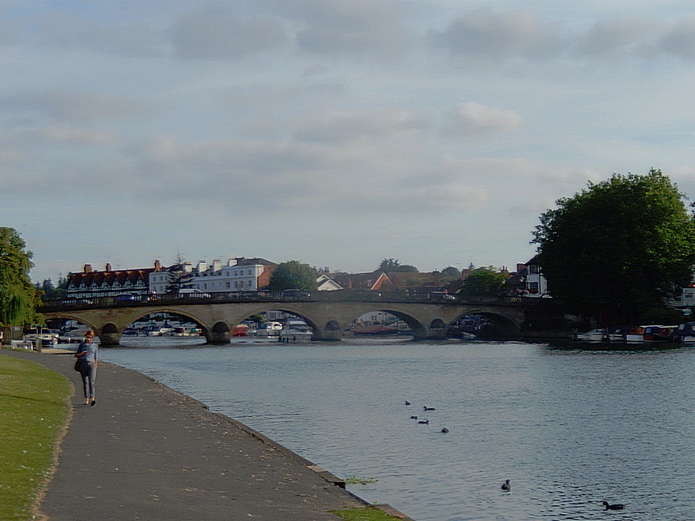
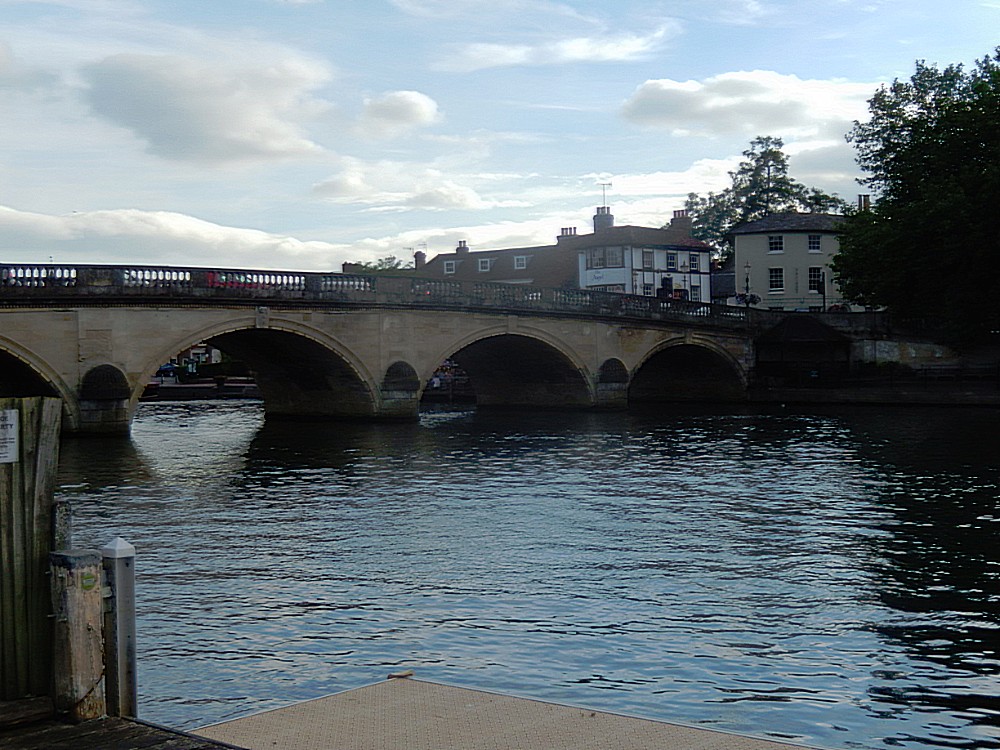
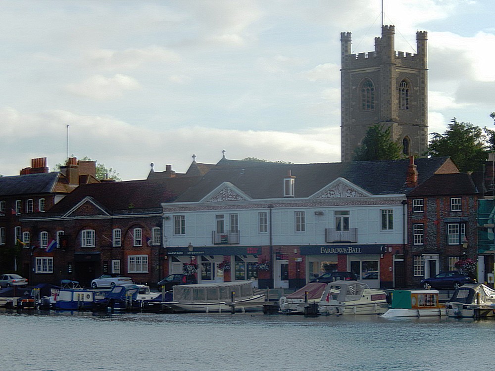
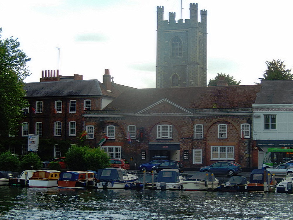
Past Remenham and towards Henley-on-Thames. I could see the bridge crossing the river from afar. On the river strectch between Temple Island and Henley-on-Thames lots of people wre going for an outing in a boat…
Henley-on-Thames
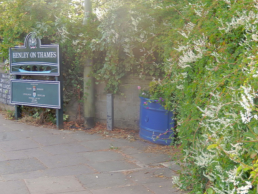
Henley-on-Thames is a town and civil parish on the River Thames in Oxfordshire, England, 7 miles (11 km) northeast of Reading and 7 miles west of Maidenhead. One of its boundaries has the tripoint of Oxfordshire, Berkshire and Buckinghamshire. The 2011 Census recorded the parish population as 11,619.
Henley-on-Thames is well known because if the annual Henley Royal Regatta which lasts for 5 consecutive days.
Henley Royal Regatta (or Henley Regatta, its original name pre-dating Royal patronage) is a rowing event held annually on the River Thames by the town of Henley-on-Thames, England. It was established on 26 March 1839. It differs from the three other regattas rowed over approximately the same course, Henley Women’s Regatta, Henley Masters Regatta, and Henley Town and Visitors’ Regatta, each of which is an entirely separate event.
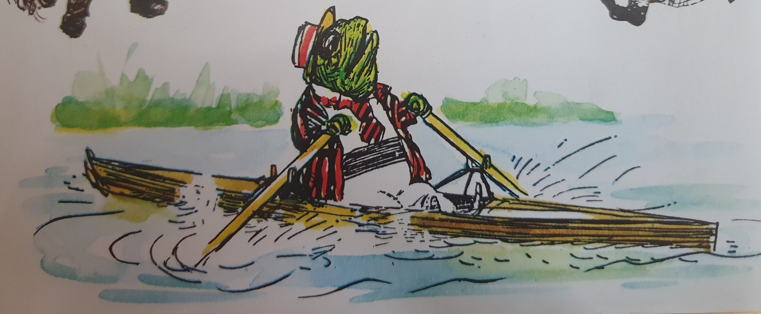
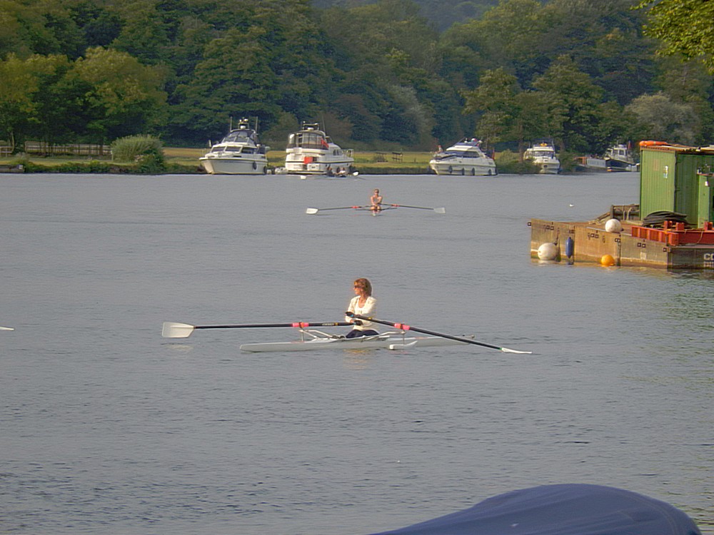
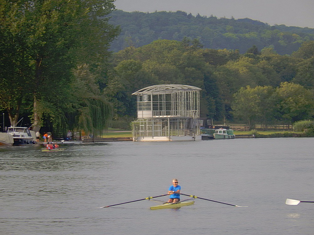
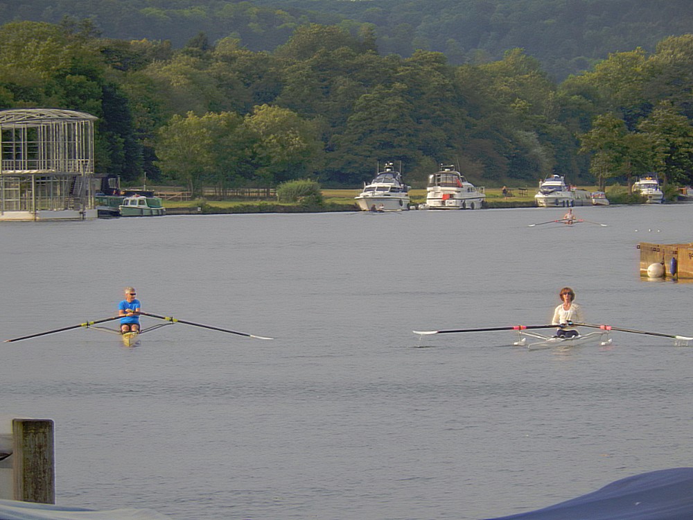
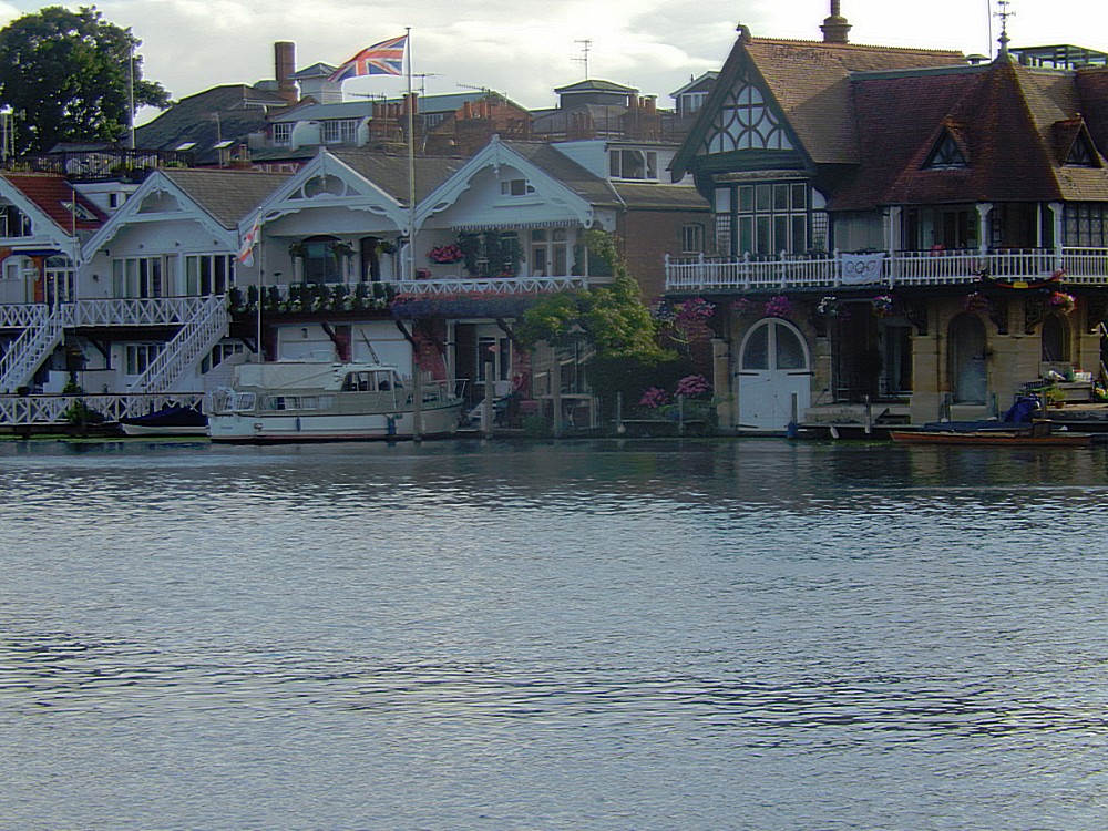
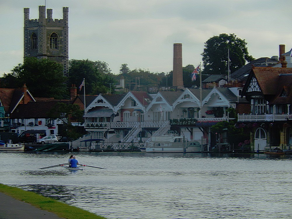
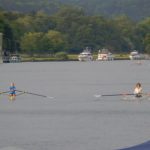
There are several chapters in Kenneth Grahame’s The Wind in the Willows where the animals are rowing on the Thames, which were incorporared in the book because this was a very common thing to do, specifically in the area around Henley-on-Thames…
The Wandelgek saw loads of people training their rowing skills on the Thames just like Mr Toad, Ratty and Moal had done in The Wind in the Willows…
From Henley-on-Thames I still needed to walk 6 kilometers back down the river towards the beautiful Greenlands estate and my address to stay the night at the Henley Business School.
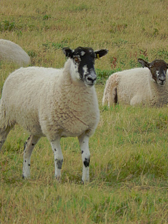
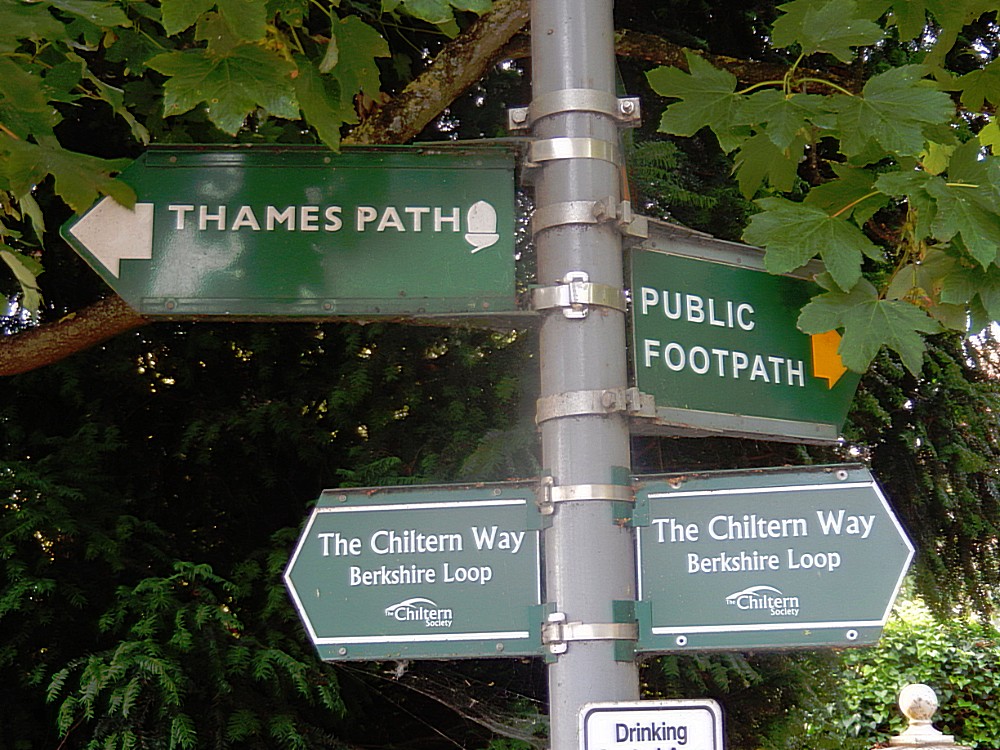
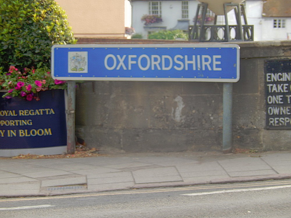
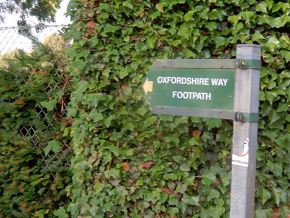
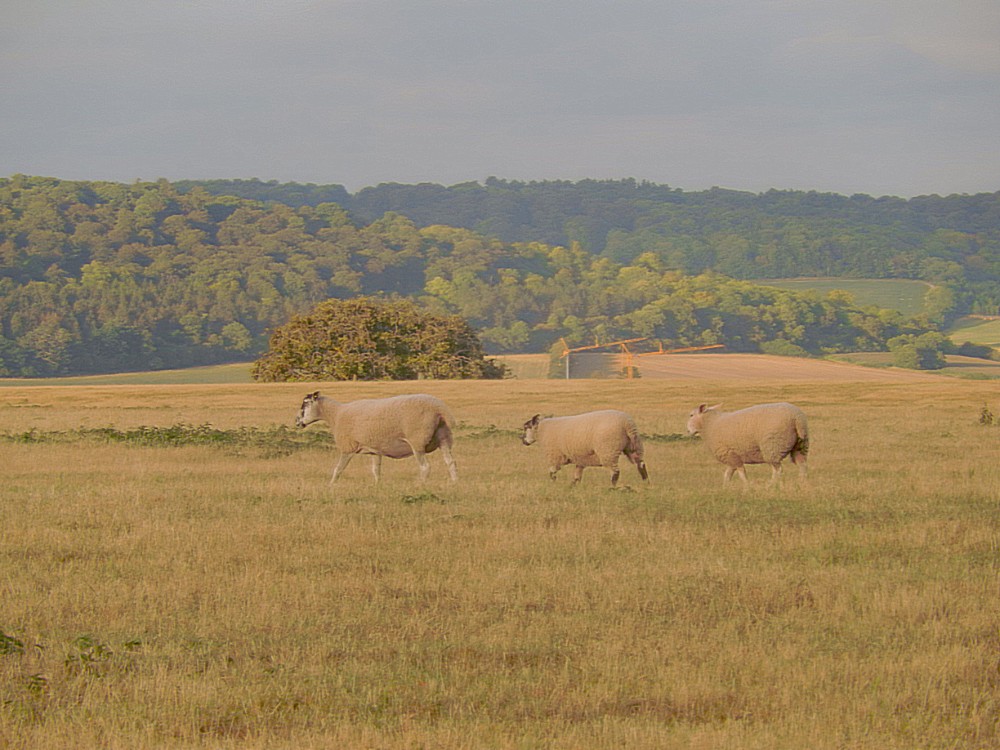
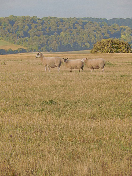
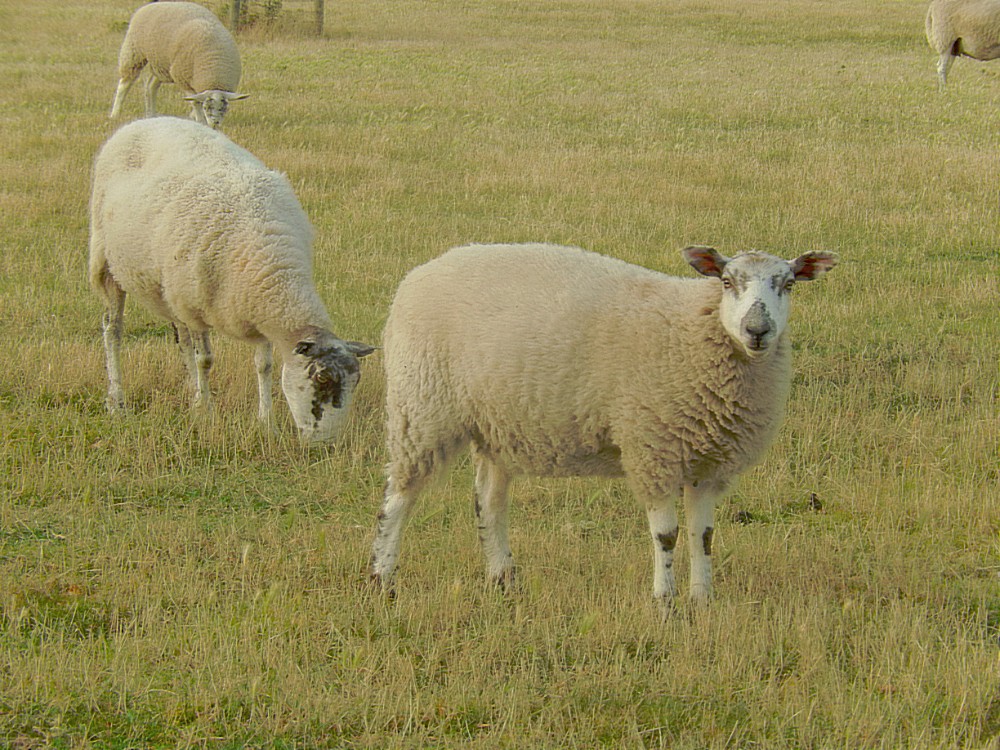
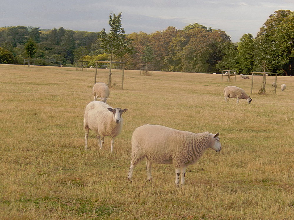
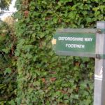
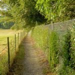
So After walking a bit through Henley I searched for a path on the river front because the road towards the Henley Business School was a road with lots of traffic and very dangerous for walkers. And then it proved that I was quite tired from the walk, because I misjudged a crucial sign and intead of walking towards the river I found myself walking on the OxfordShire Way, a beautiful long distance walking path, but going north instead of east. I was completely unaware of my mistake until I was on top of a hill ridge, between sheep and no river in sight.
Then I realized I must have taken a wrong turn back in Henley. But it was getting darker very fast and I wanted to reach the Greenlands estate before I needed a torch to see the paths and roads. I came on a tar road and a small van drove towards me. I hailed the van and it stopped and I asked for directions. I couldn’t have walked more wrong than what I did. The driver told me it was still a long walk and I needed to turn back q80 degrees and then walk until I reached the road that I had feared before with all the traffic.
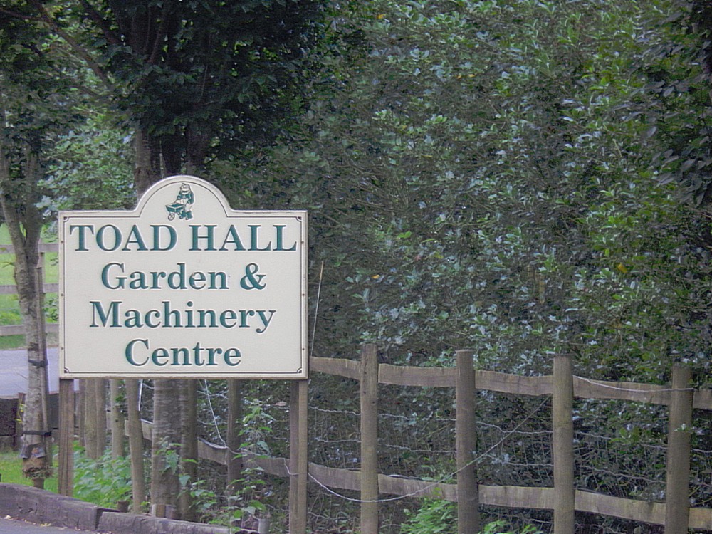
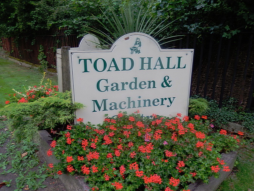
I reached it just before dark. There was a Gardening company named after Mister Toad at the place where I reached the road ( a place on the map that said: “New cottages”. Then I walked on the left side of the road and every time a car approached I stepped in to the thickets because they all drove fast and probably did not expect any wanderers here.
I reached Fawley Court Farm when it was dark and I decided to stop for a while hoping someone would leave the farm. Fact was that I didn’t have light to read a map, my phone battery was empty and I didn’t know for sure if I was going in the right direction. Also I hoped to get a ride because I was not comfortable walking any further down that dangerous road. After what seemed 10 minutes a car left the farm and a very friendly farmer listened to my questions and story and he proposed dropping me off outside of the Greenland Estate. My heart jumped in my chest and gladly I accepted the offer.
After leaving the car I had to walk up a road towards the main building of the Henley-Business-School but this was a piece of cake.
Henley Business School is the business school of the University of Reading. It was formed by merging the previously independent Henley Management College, formerly the Administrative Staff College, with the existing business school of the University of Reading. As a result of the merger it now occupies two sites: Greenlands Campus, near the town of Henley-on-Thames, the original site of the Henley Management College, and Whiteknights Campus in Reading.
It is among only 73 institutions worldwide to be granted triple accreditation by the three largest and most influential business school accreditation associations: EQUIS, AMBA and the AACSB. It is ranked among the world’s top 50 business schools by the Financial Times and The Economist.
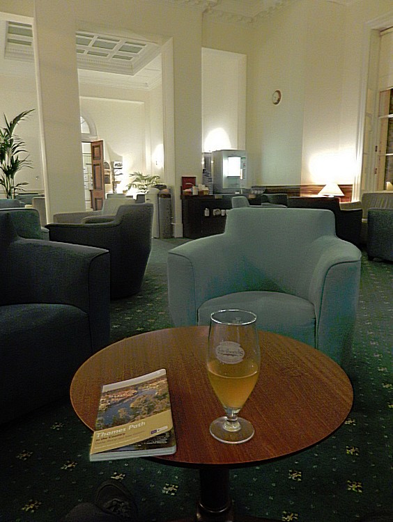
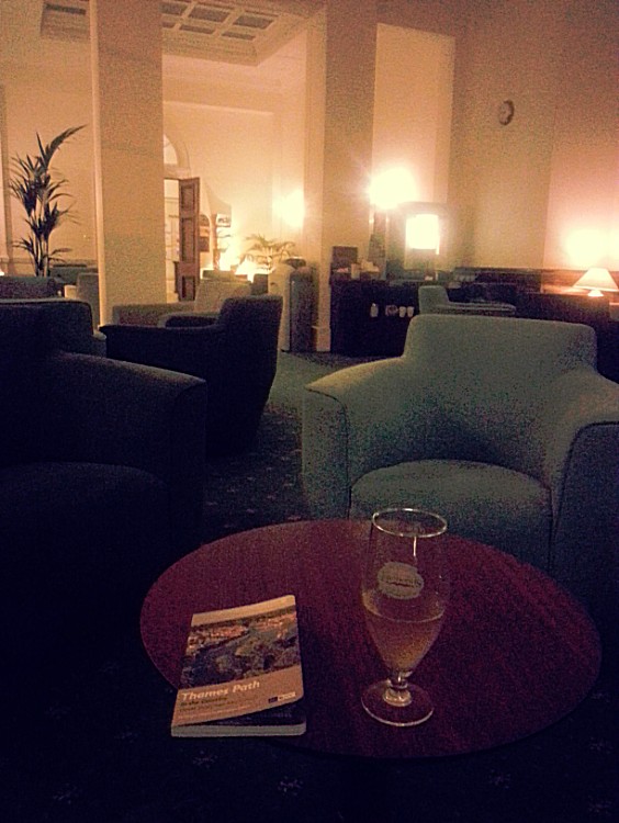
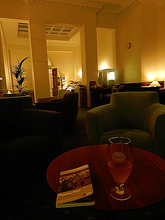
The main building was the beautiful building I had previously seen from the other side of the river. I entered and checked in. The building was really stately from the out- and inside with grand rooms full of chandeliers paintings, broad hallways, thick carpets and a luxurious bar and restaurant.
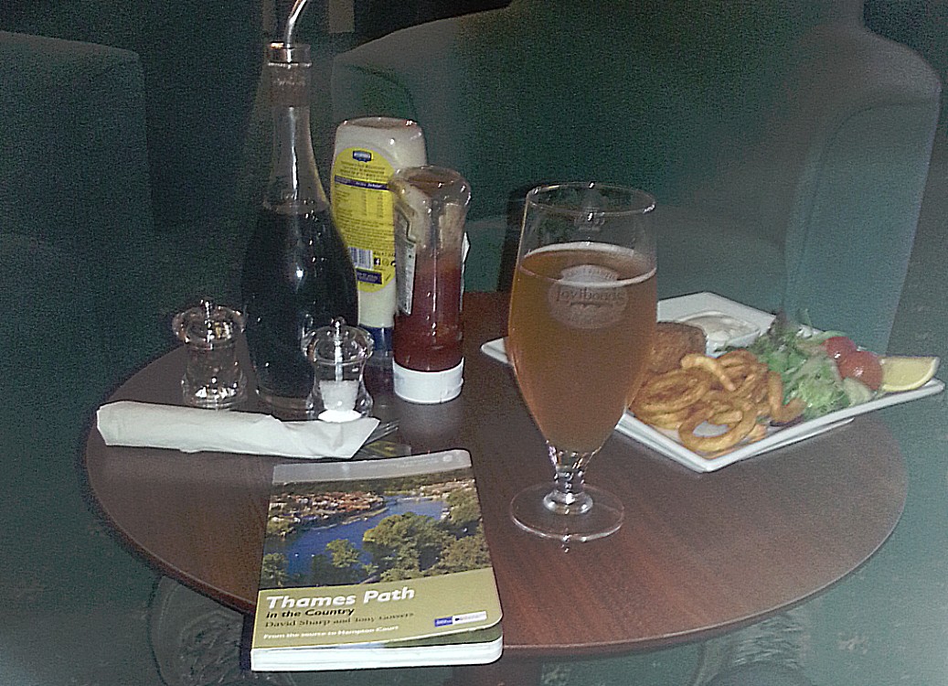
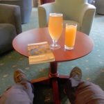
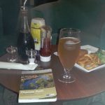
I decided not to go to my room in another building, but stay and first eat and drink at the bar.
They even poured local and quite tasty beer named Lovibonds from a brewery in Henley 😀
Henley on Thames Business School through Booking.com:
In 30 acres of beautiful grounds in the Oxfordshire countryside, Henley Business School provides well-appointed accommodation by the River Thames. With a restaurant, bar and fitness centre, the Greenlands site also provides free parking and Wi-Fi.
Each room has a flat-screen TV, desk, safe, hairdryer and tea and coffee facilities. All have an en suite shower with luxury Molton Brown toiletries provided. Towels are available to hire if required.
A full English breakfast is served each morning. Award-winning chefs serve evening meals in the riverside restaurant, and light snacks are available from the bar, open until 23:30 each evening.
Henley Business School is less than 4.8 km from the centre of Henley-on-Thames, with the nearby riverside town of Marlow a 13-minute drive away. You can drive to the historic university city of Oxford in around 45 minutes.
This property is also rated for the best value in Henley on Thames! Guests are getting more for their money when compared to other properties in this city.
http://www.booking.com/hotel/gb/henley-business-school.en-gb.html
The Wandelgek’s verdict:♥♥♥♥♥ out of ♥♥♥♥♥
Best feature: The location and the main building
Other plusses: They serve local draught beer in the bar and the employees are very friendly.




















































KLEURIGE, SPANNENDE, DEELS TOLKIN-ACHTIGE route beschrijvingen/ervaringen met ‘n happy end!