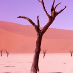
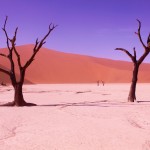
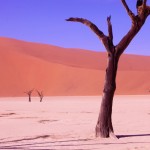
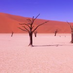
3. Namibia: Namib Naukluft National Park,Namib dunes, Sossusvlei, Deadvlei, Dune 45, Sesriem Canyon – 2015
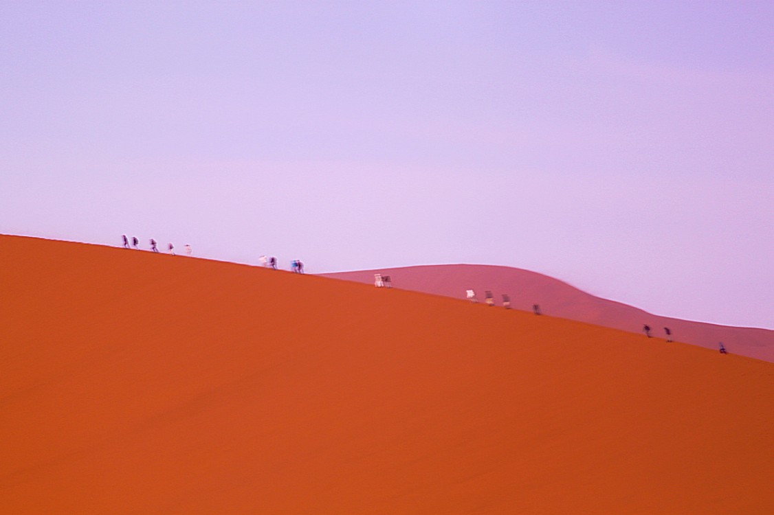
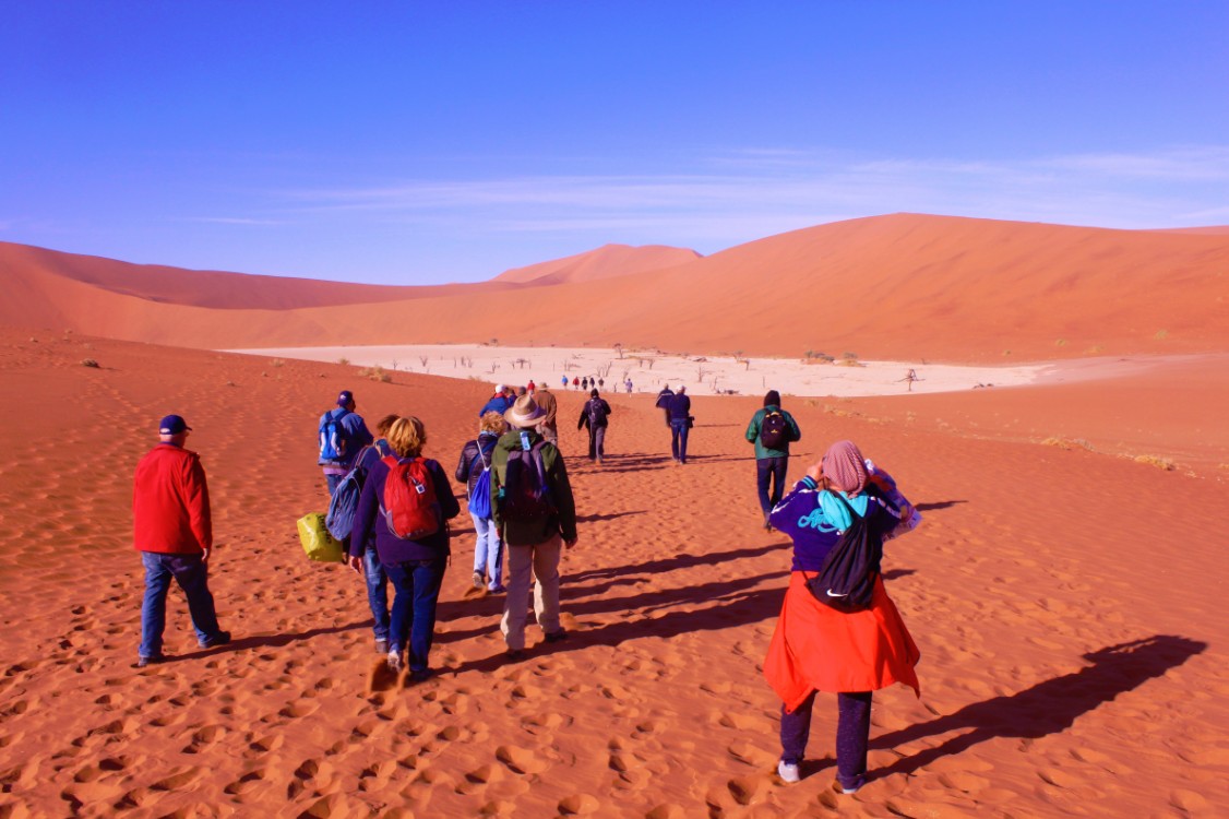
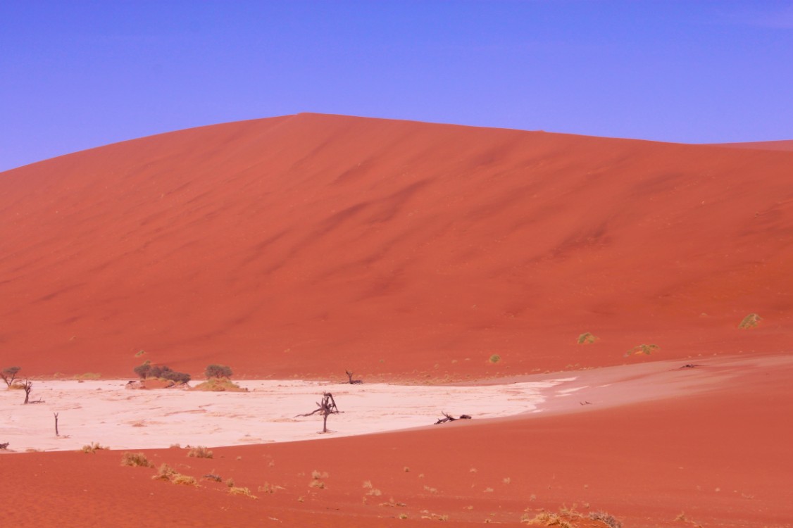
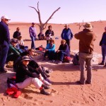
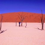
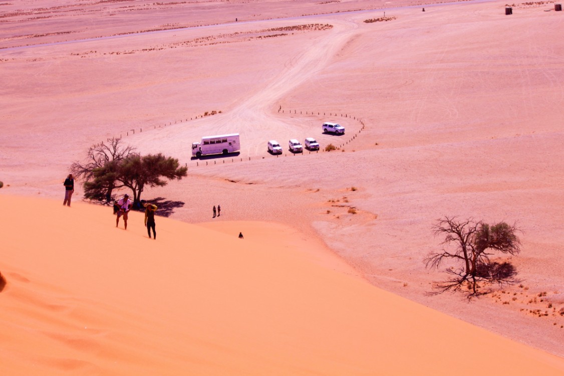
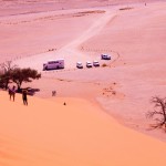
It was early in the morning and still dark, when The Wandelgek drove north along the beautiful rugged Naukluft Mountains and then west on to Sesriem, a very small village where the gate of the Namib Naukluft National Park at the first sunlight would open. There was already a long line of vehicles both trucks and 4-WD vehicles ready to race in to the park on their way to Dune 45, as soon as that gate would open. Many visitors wanted to climb the dune and afterwards witness the sunrise, but this was actually an unattainable goal, because Dune 45 is 45 kilometers away from the gate and the climb is heavy and takes up a lot of time. You’ll never reach its peak before sunrise. So where every car and truck stopped at the dune, we drove on down to the end of the Sossusvlei and quickly switched to 4WD SUVs to race further towards the Dead Vlei, where we would arrive allone. And that was a very good move, because it is very photogenic and on those pictures you don’t want any other tourists disgracing the view 😉
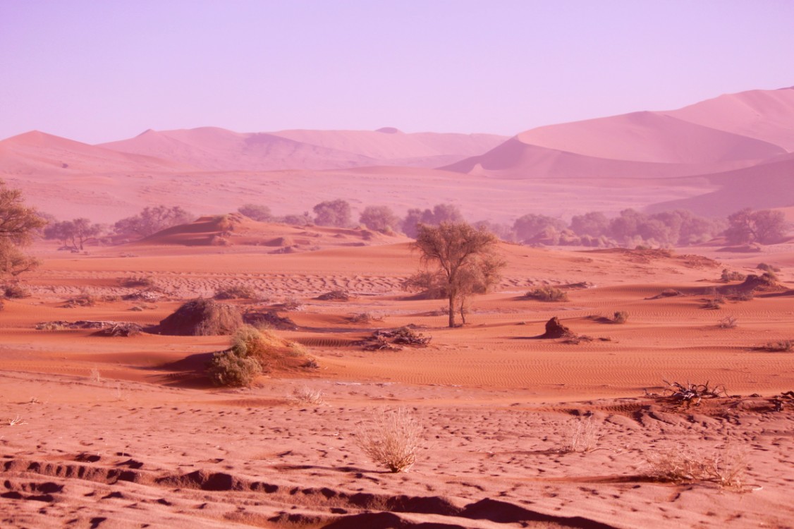
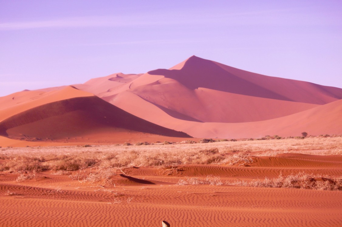
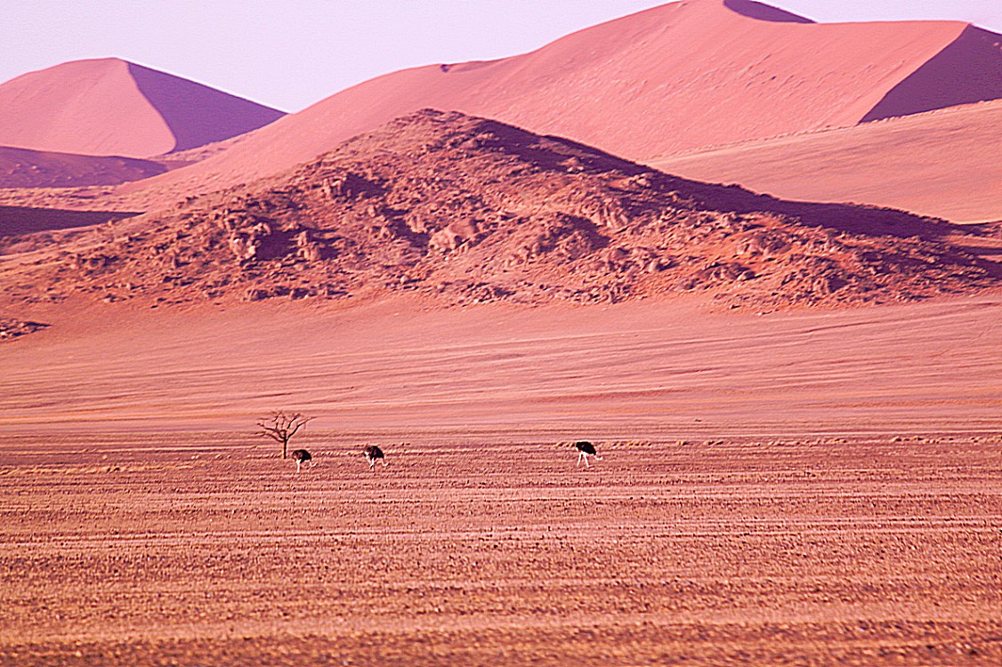
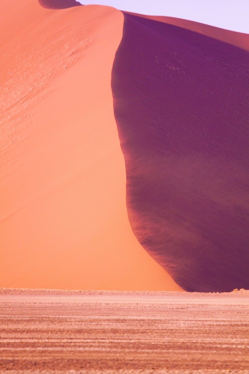
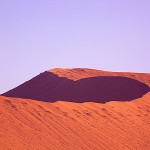
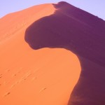
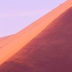
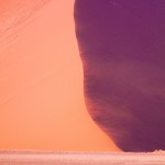
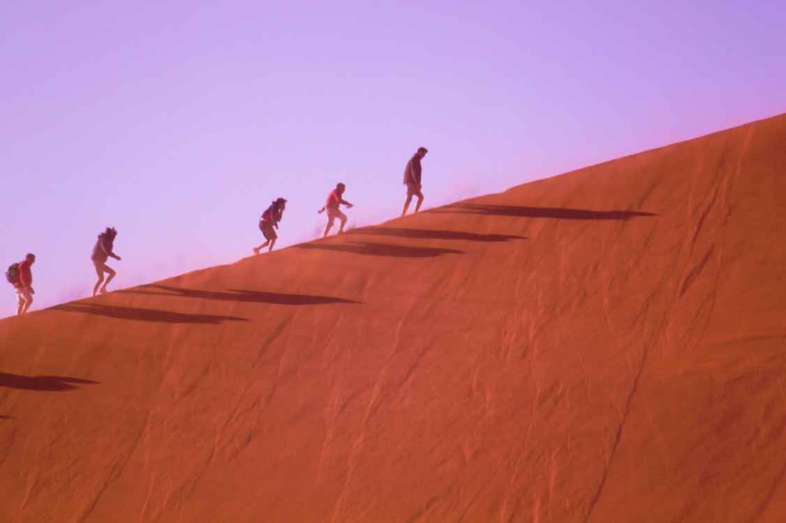
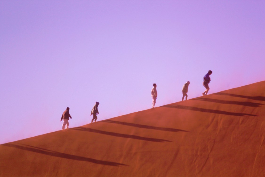
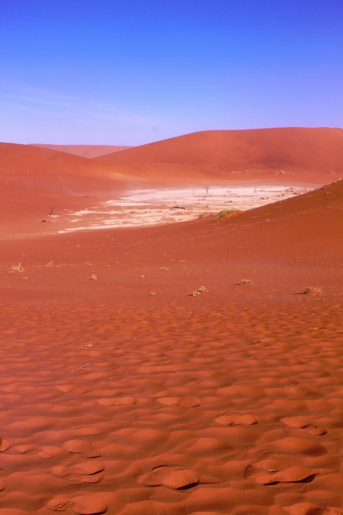
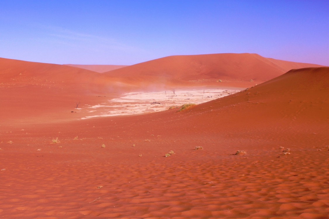
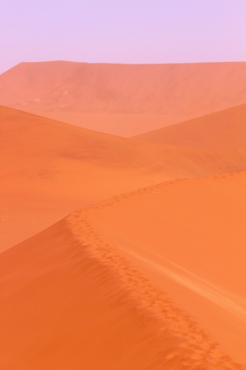
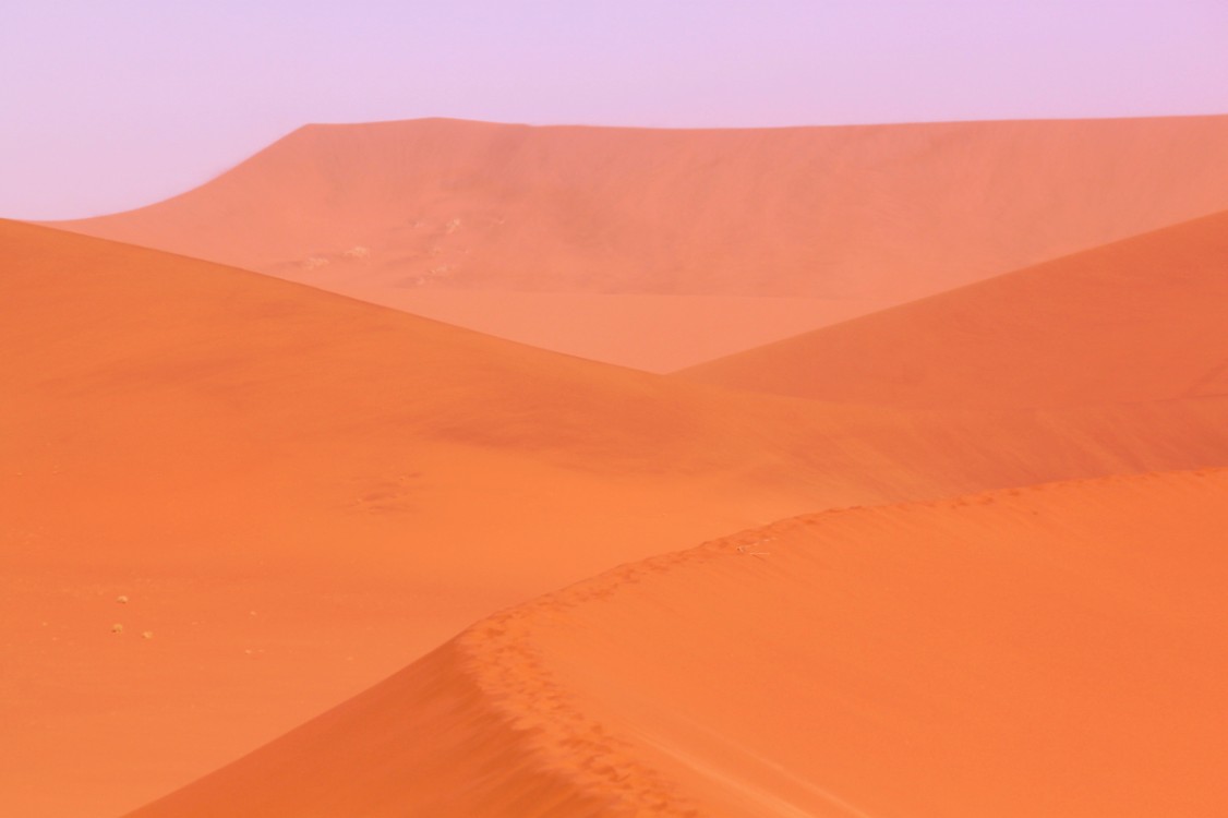
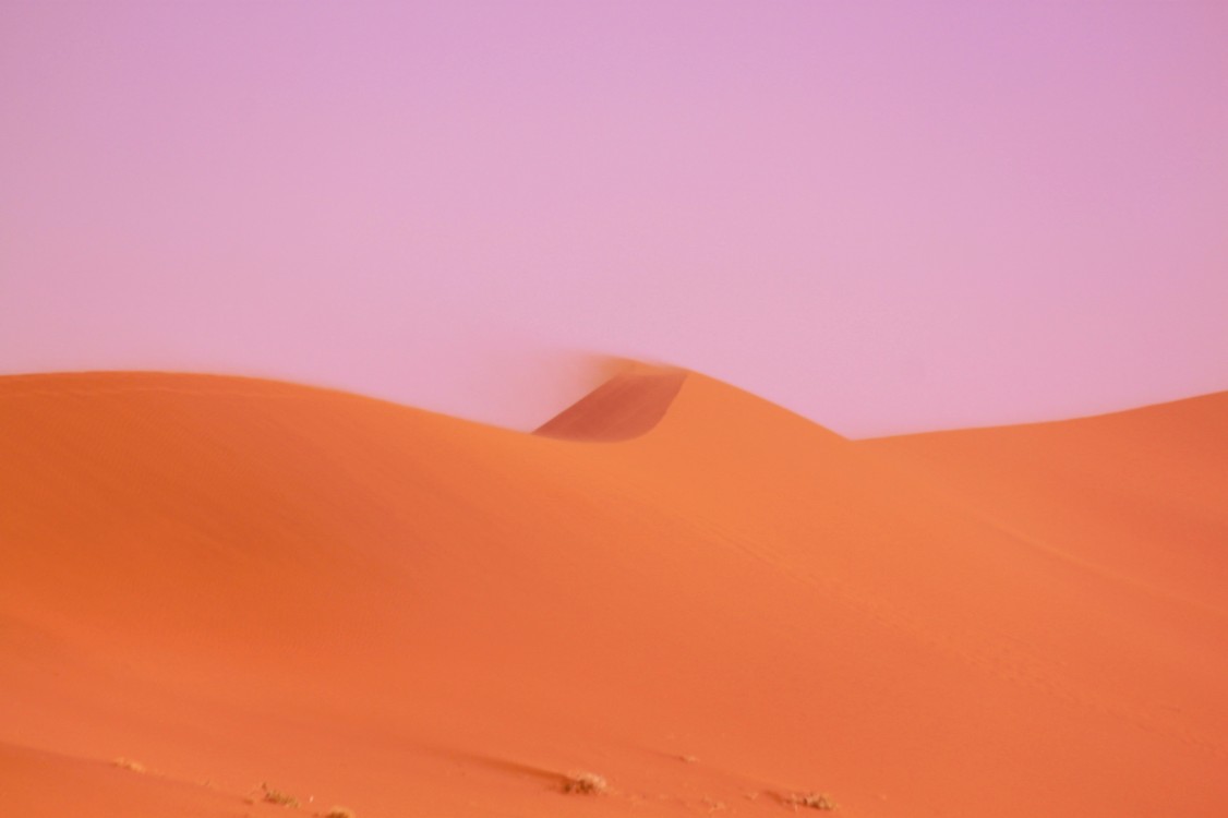
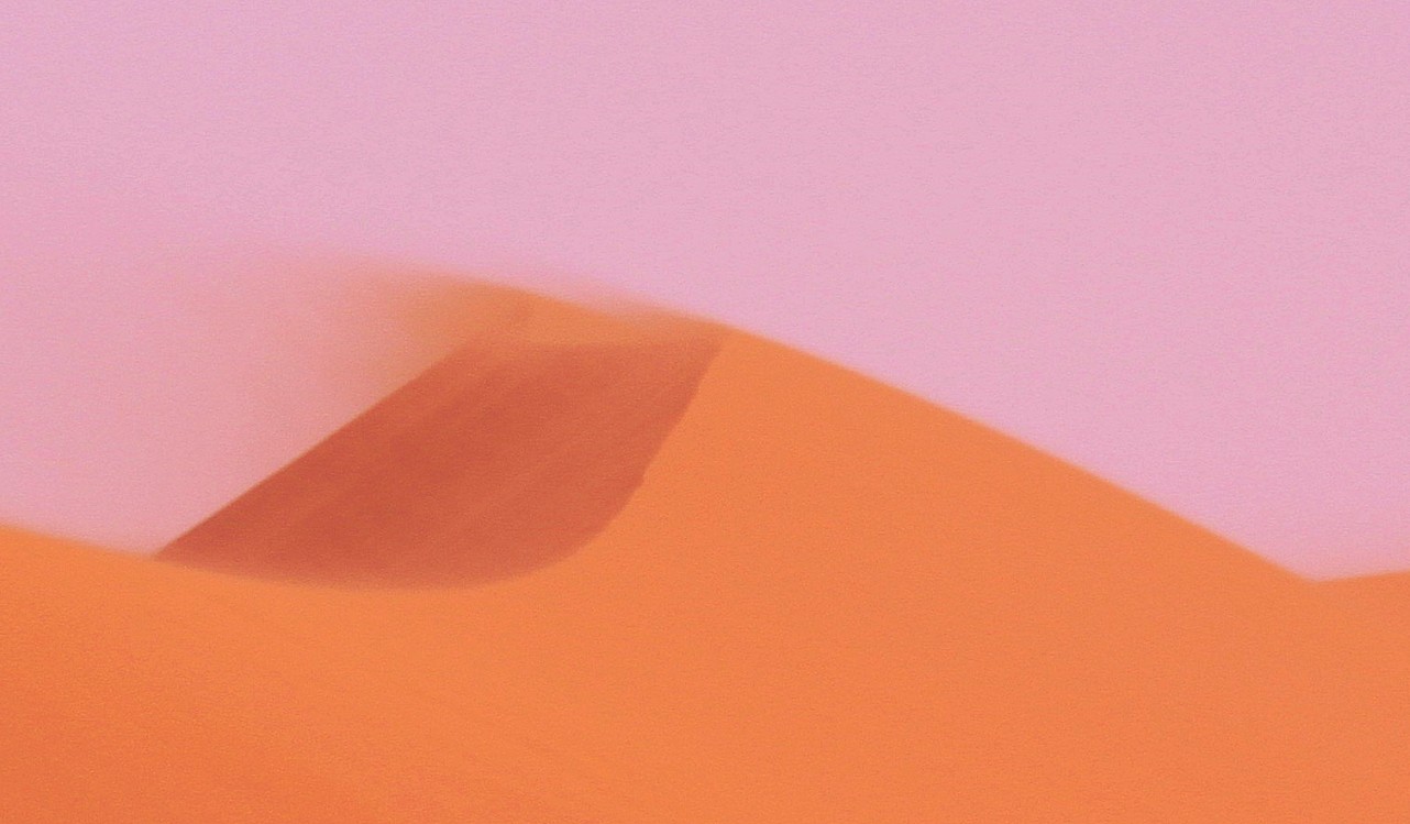
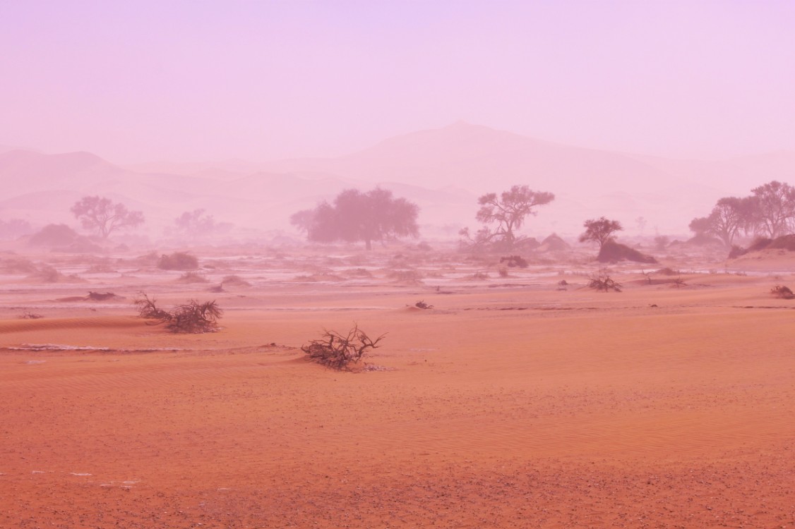
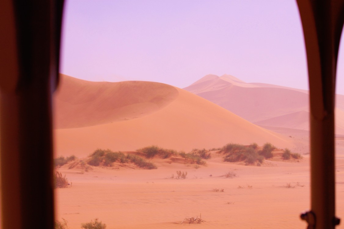
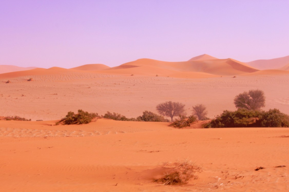
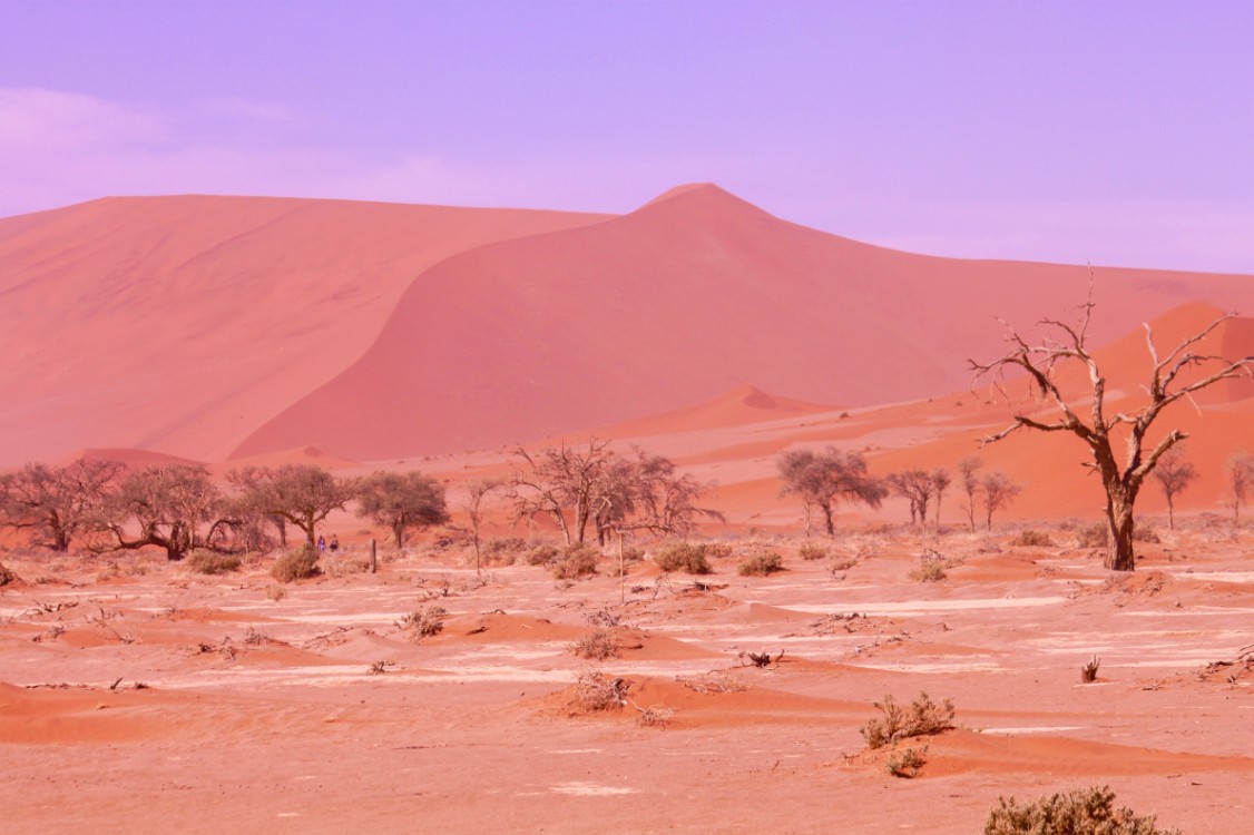
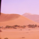
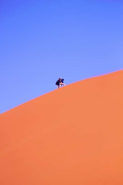
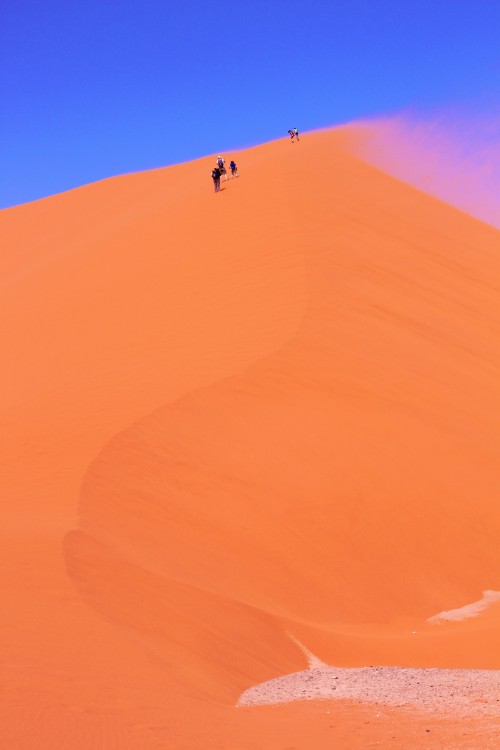
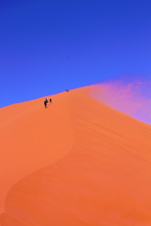
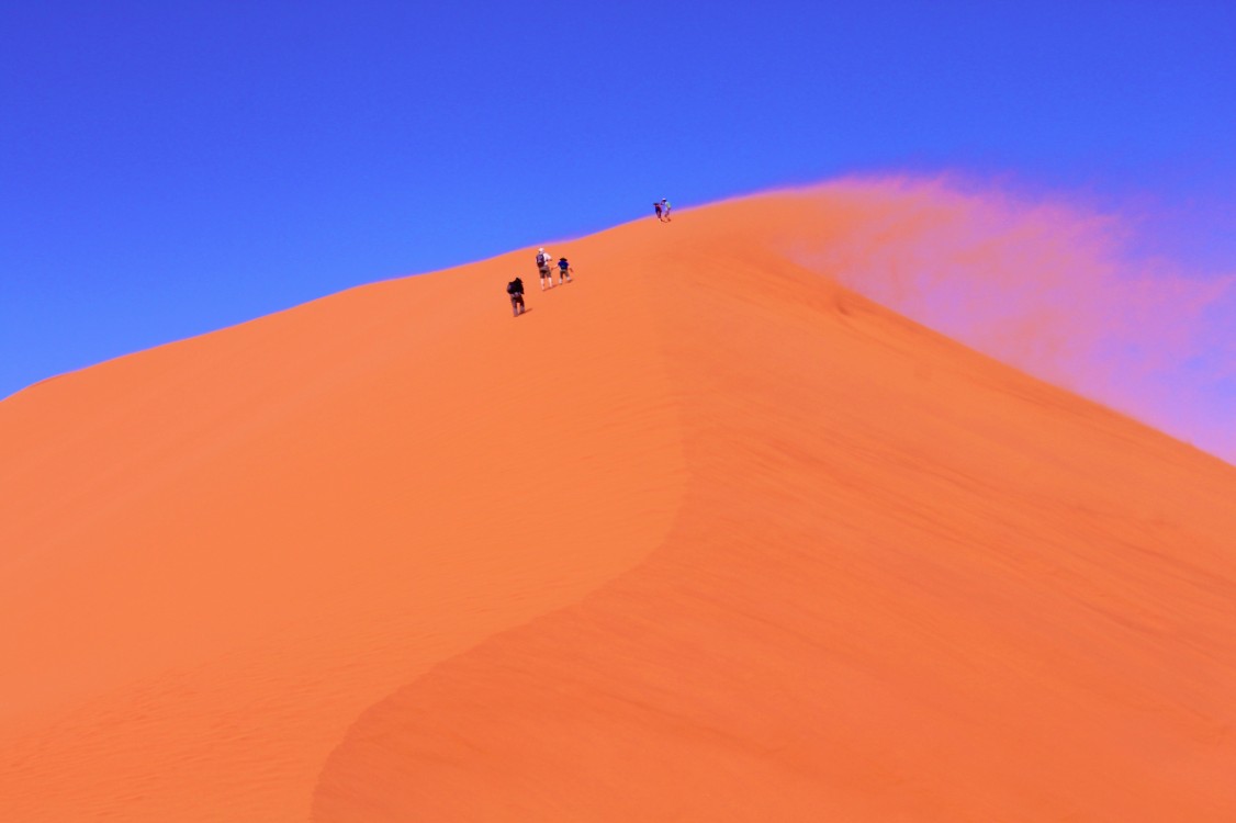
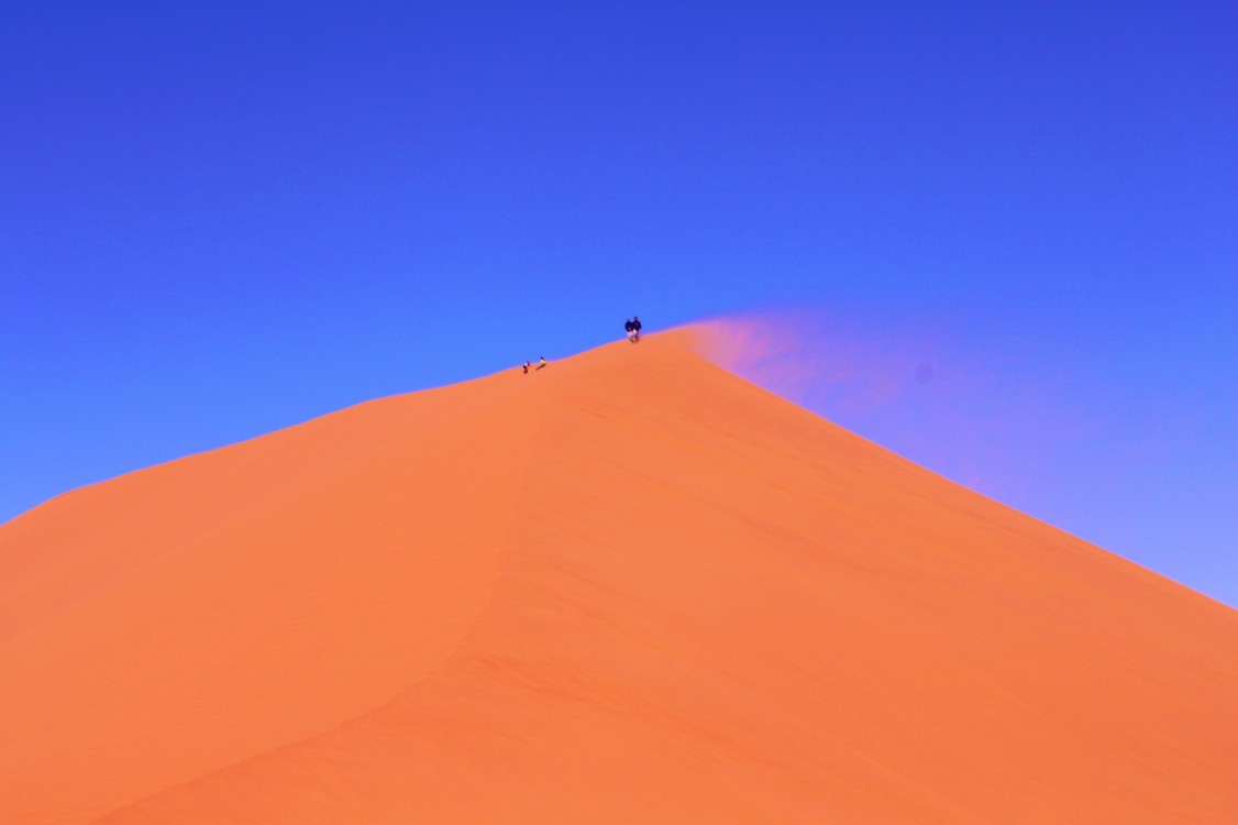
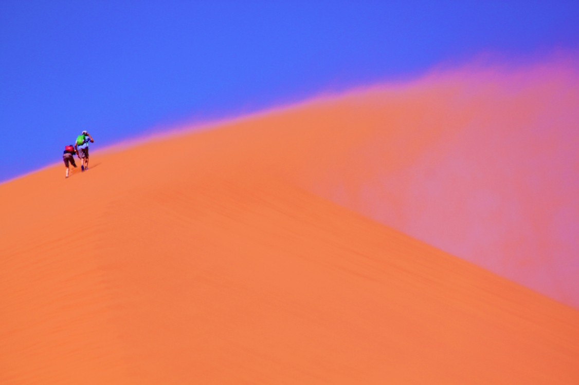
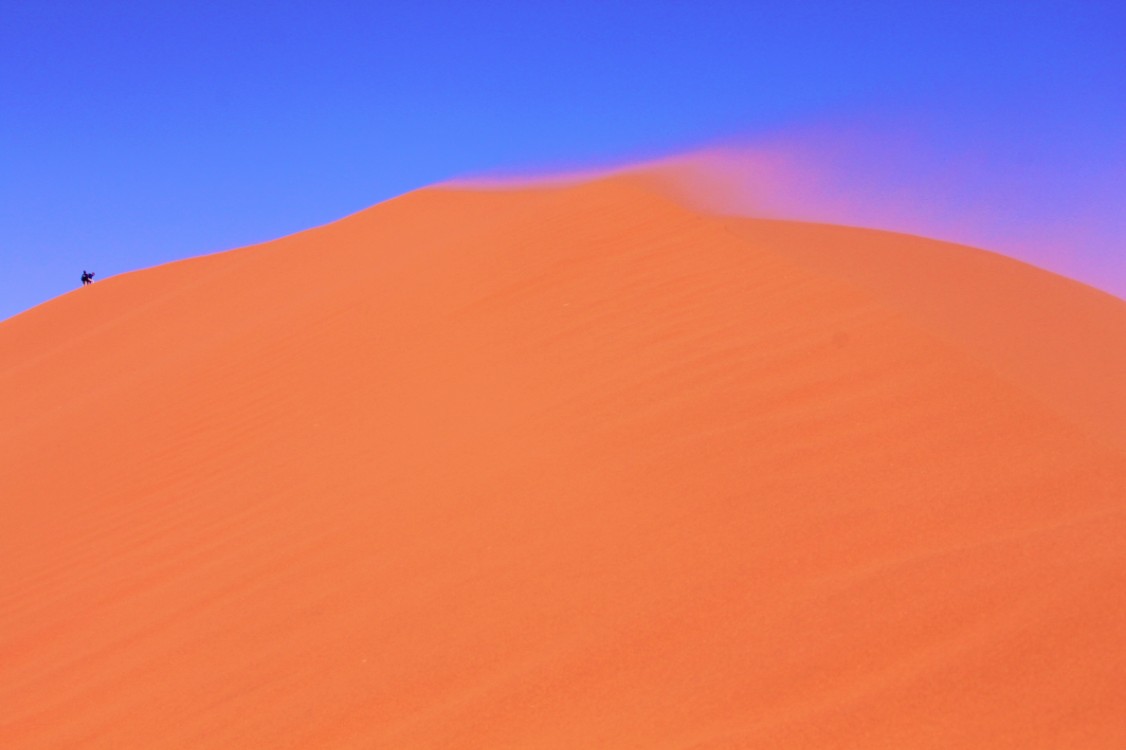
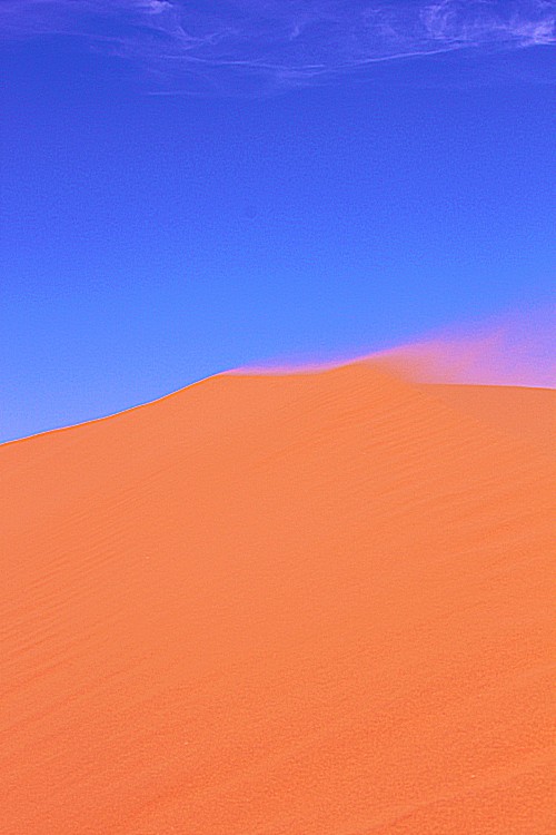
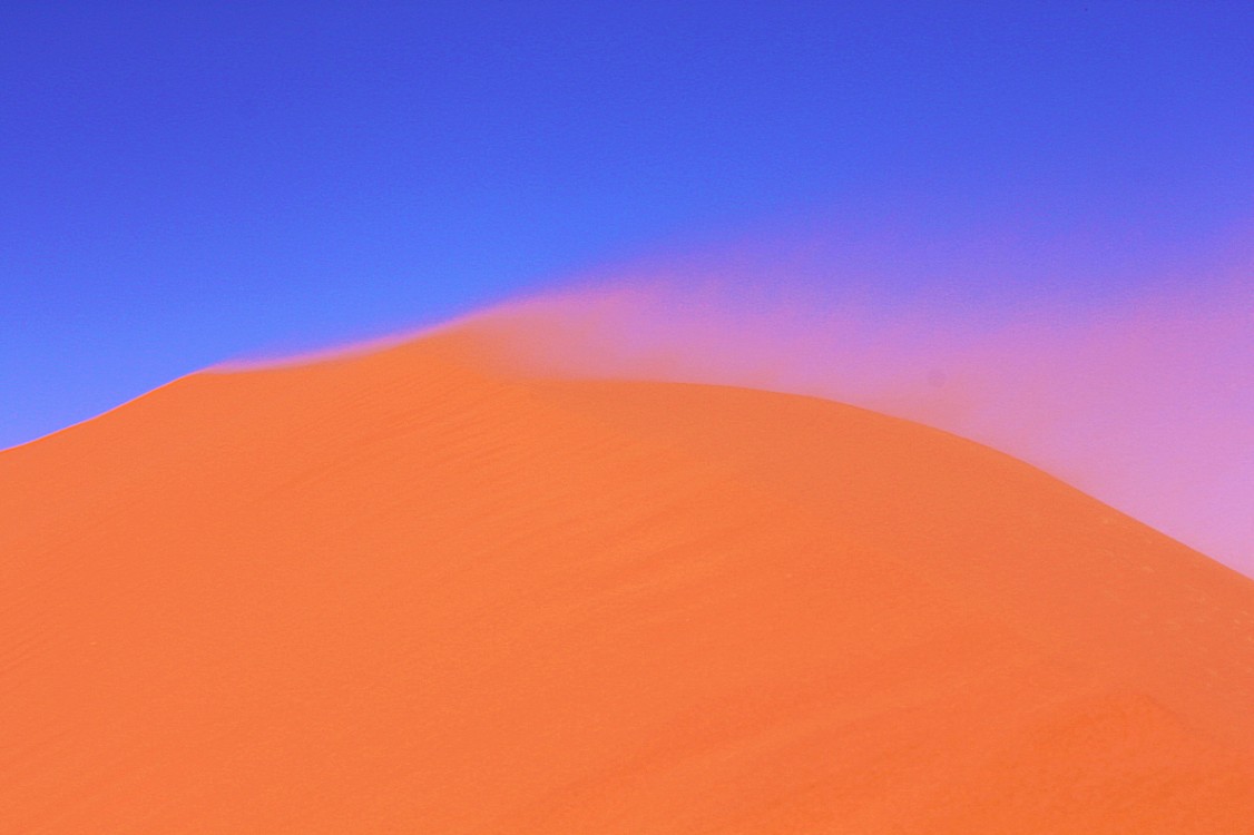
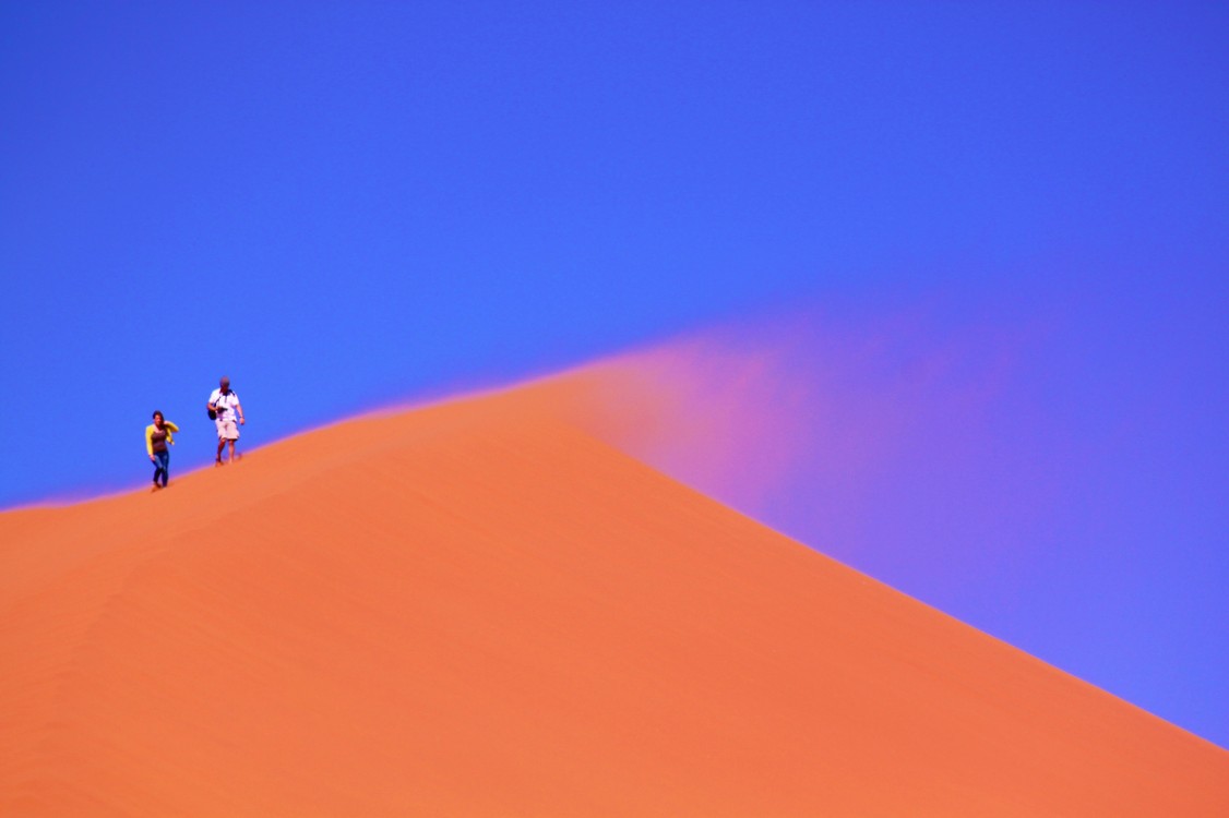
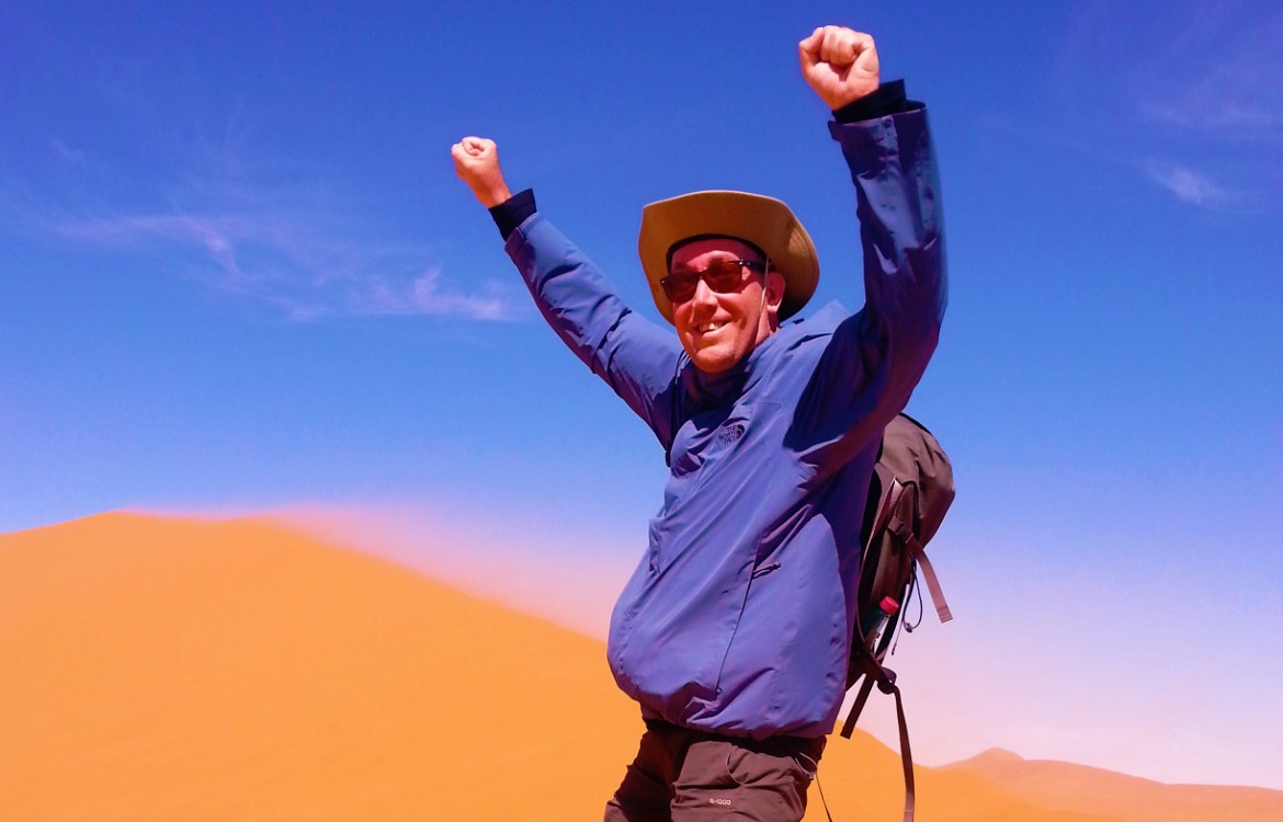
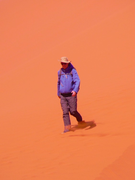
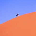
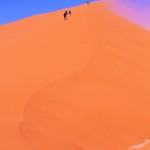
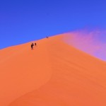
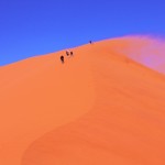
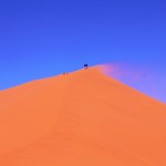
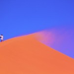
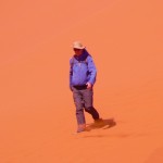
The day The Wandelgek spent in the Namib dunes, a quite heavy sandstorm had raised and that was a rarity in these lands, but it also resulted in rare and beautiful pictures, because the storm blew the light quartz sand in fountain showers over the dune peaks. From a distance you couldn’t see where a dune stopped being a dune and became a sand shower for tens of meters onward…
Namib-Naukluft National Park
The Namib-Naukluft National Park is a national park of Namibia encompassing part of the Namib Desert (considered the world’s oldest desert) and the Naukluft mountain range. With an overall area of 49,768 km2 (19,216 sq mi), the Namib-Naukluft is the largest game park in Africa and the fourth largest in the world. The most well-known area of the park is Sossusvlei, which is the main visitor attraction in Namibia.
A surprising collection of creatures survives in the hyper-arid region, including snakes, geckos, unusual insects, hyenas, gemsboks and jackals. More moisture comes in as a fog off the Atlantic Ocean than falls as rain, with the average 106 millimeters of rainfall per year concentrated in the months of February and April.
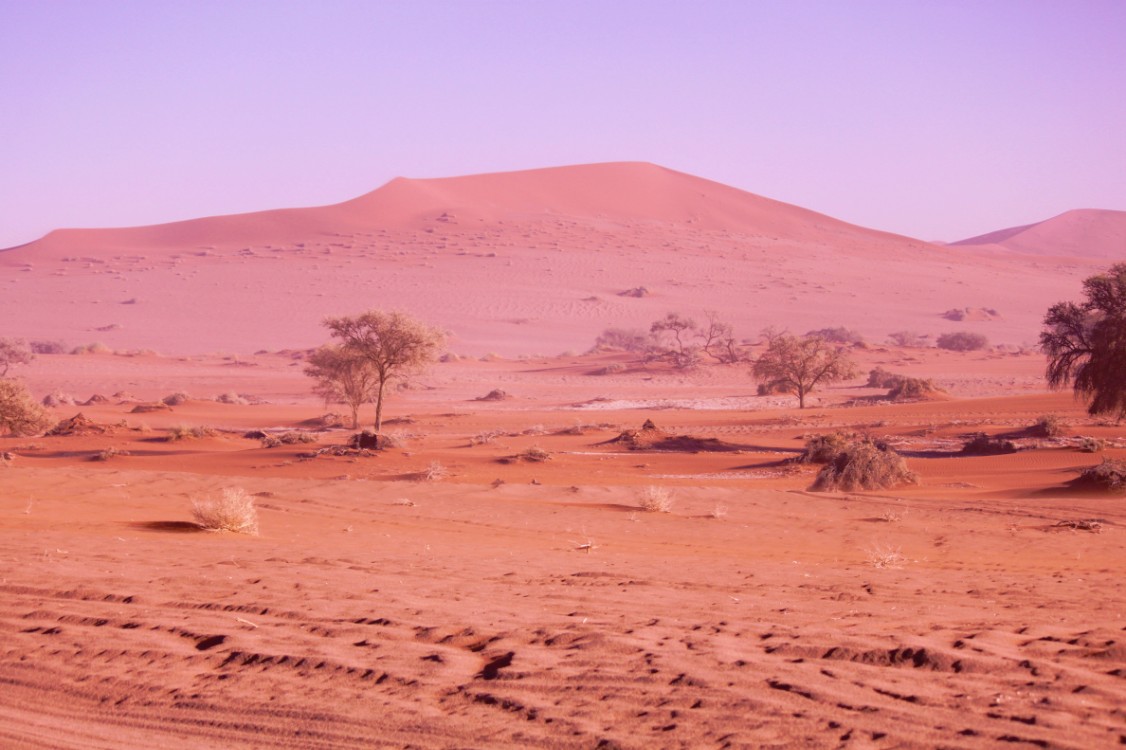
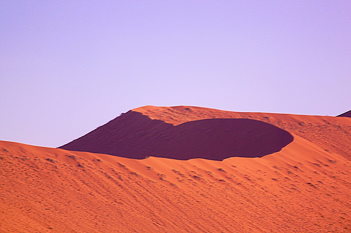
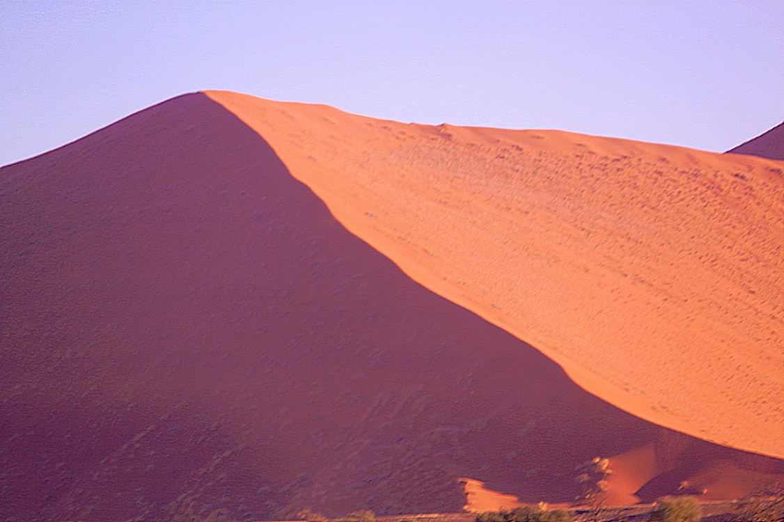
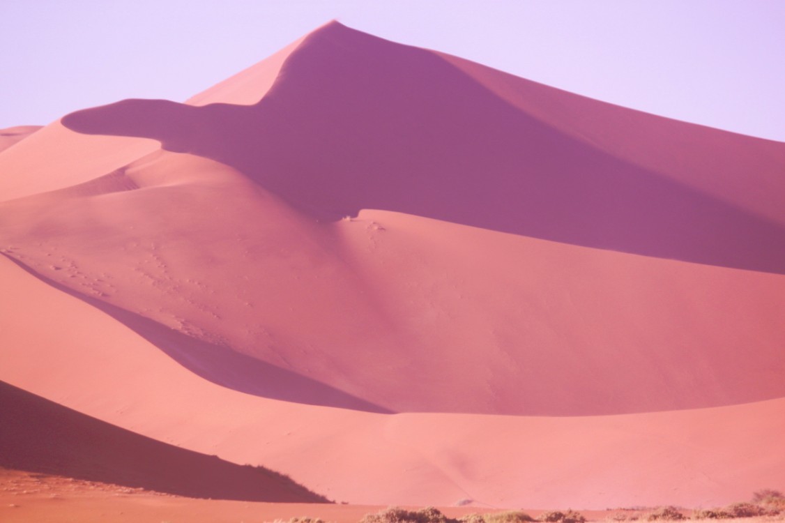
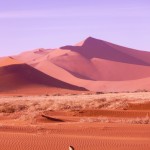
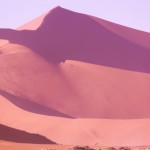
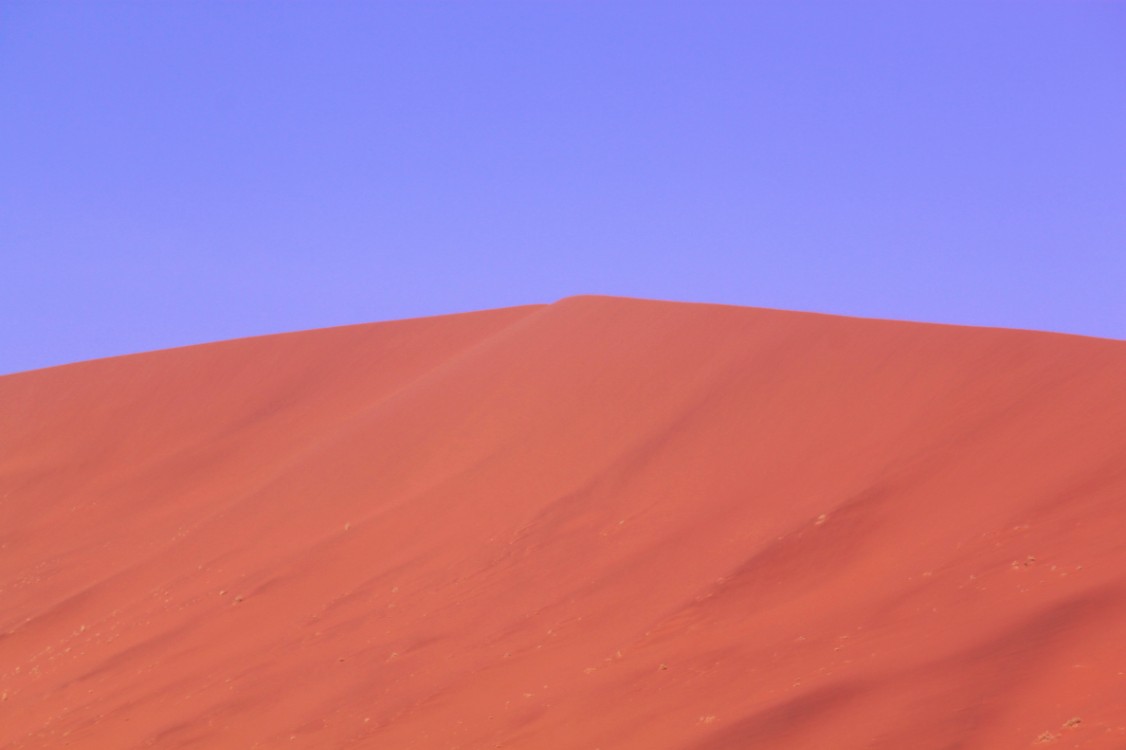
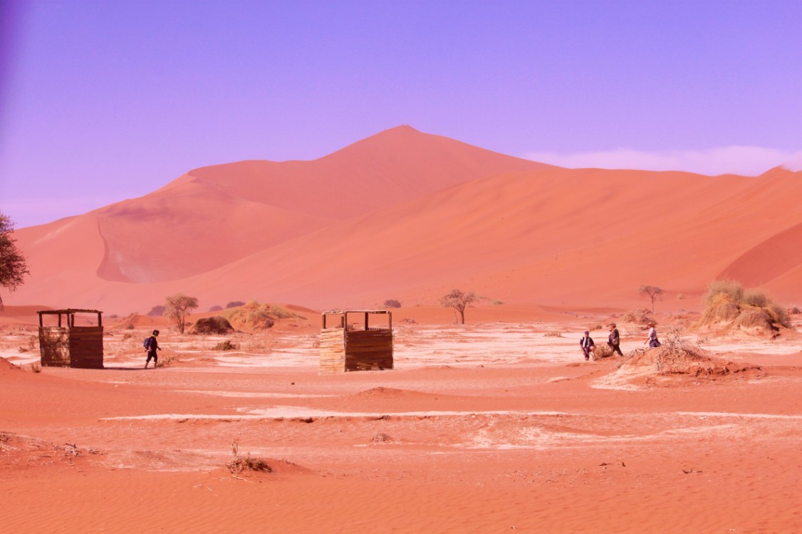
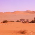
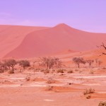
The winds that bring in the fog are also responsible for creating the park’s towering sand dunes, whose burnt orange color is a sign of their age. The orange color develops over time as iron in the sand is oxidized, like rusty metal; the older the dune, the brighter the color.
These dunes are the tallest in the world, in places rising more than 300 meters (almost 1000 feet) above the desert floor. The dunes taper off near the coast, and lagoons, wetlands, and mudflats located along the shore attract hundreds of thousands of birds.
‘Namib’ means open space and the Namib Desert gave its name to form Namibia – “land of open spaces”. The park was established in 1907 when the German Colonial Administration proclaimed the area between the Swakop River and the Kuiseb River a game reserve. The park’s present boundaries were established in 1978 by the merging of the Namib Desert Park, the Naukluft Mountain Zebra Park and parts of Diamond Area 1 and some other bits of surrounding government land.
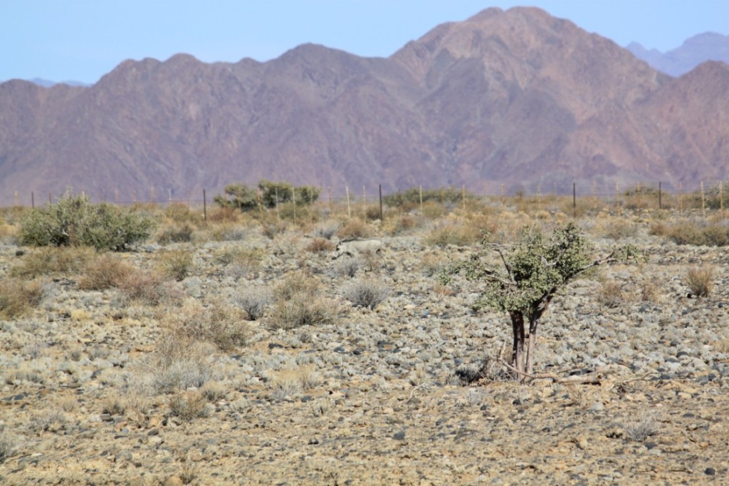
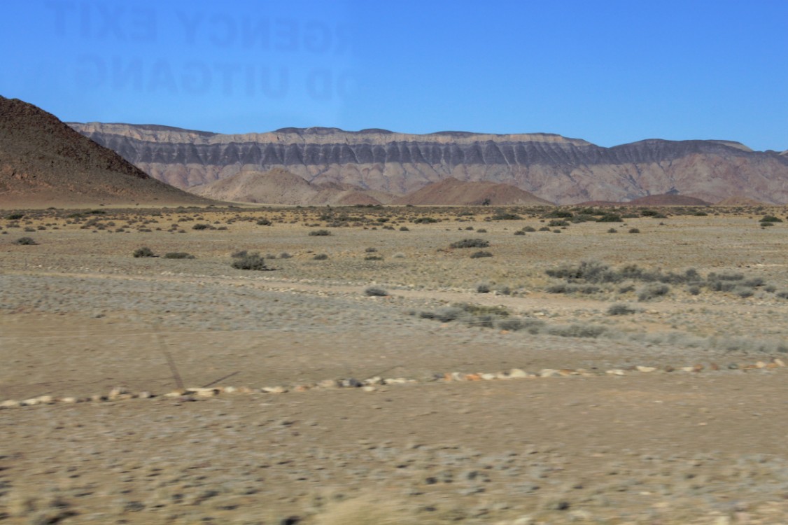
The park has some of the most unusual wildlife and nature reserves in the world, and covers an area of 49,768 km2 (19,216 sq mi). It’s an area larger than Switzerland (41,285 km2), roughly the size of the US states New Hampshire and Vermont combined. The region is characterised by high, isolated inselbergs and kopjes (the Afrikaans term for rocky outcrops), made up of dramatic blood red granites, rich in feldspars and sandstone. The easternmost part of the park covers the Naukluft Mountains.
The Naukluft Mountains
The Naukluft Mountains (Afrikaans and German: Naukluftberge) are a mountain range in central Namibia. The southern part of the mountain range forms the easternmost part of the Namib-Naukluft National Park. The northern mountains are occupied by privately held farms. They are known for their wildlife, including mountain zebras and leopards. The mountains have many small streams and waterfalls.
Geology
The Naukluft Mountains are a nappe complex: a stack of rock units which have been transported toward the southeast on a basal thrust fault. The first geological maps and cross sections of the mountain range were made in the 1930s by Henno Martin and Hermann Korn. The rocks are interbedded sediments, dominated by dolostones, quartzites and shales, deposited in a shallow marine environment in the hinterland of the Damara Orogeny between 700-500 million years ago. The sediments are equivalent in age to the Otavi Mountainlands sediments where evidence for snowball earth climates was described by Paul F. Hoffman. The same lithologies are present in the Naukluft Mountains, but the sediments are folded and faulted so the original stratigraphy is deformed and inverted.
The mountain range has been the site of numerous studies seeking to explain the mechanical paradox of overthrusts: how large thin units of rock may be pushed long distances over gently dipping thrust faults. The main basal thrust fault beneath the klippe which forms the mountain range contains an unusual polymineralic granular rock which has been described by some authors as an injected evaporite, and by others as a fault rock formed by alteration during earthquake slip. Most workers agree that the lubricating effect of this granular layer helped the thrust fault slip when the fault was active.
Sossusvlei
Sossusvlei (sometimes written Sossus Vlei) is a salt and clay pan surrounded by high red dunes, located in the southern part of the Namib Desert, in the Namib-Naukluft National Park of Namibia. The name “Sossusvlei” is often used in an extended meaning to refer to the surrounding area (including other neighbouring vleis such as Deadvlei and other high dunes), which is one of the major visitor attractions of Namibia.
The name “Sossusvlei” is of mixed origin and roughly means “dead-end marsh”. Vlei is the Afrikaans word for “marsh”, while “sossus” is Nama for “no return” or “dead end”. Sossusvlei owes this name to the fact that it is an endorheic drainage basin (i.e., a drainage basin without outflows) for the ephemeral Tsauchab River.
Environment
The Sossusvlei area belongs to a wider region of southern Namib with homogeneous features (about 32.000 km²) extending between rivers Koichab and Kuiseb. This area is characterized by high sand dunes of vivid pink-to-orange color, an indication of a high concentration of iron in the sand and consequent oxidation processes. The oldest dunes are those of a more intense reddish color. These dunes are among the highest in the world; many of them are above 200 metres, the highest being the one nicknamed Big Daddy, about 380 metres high.
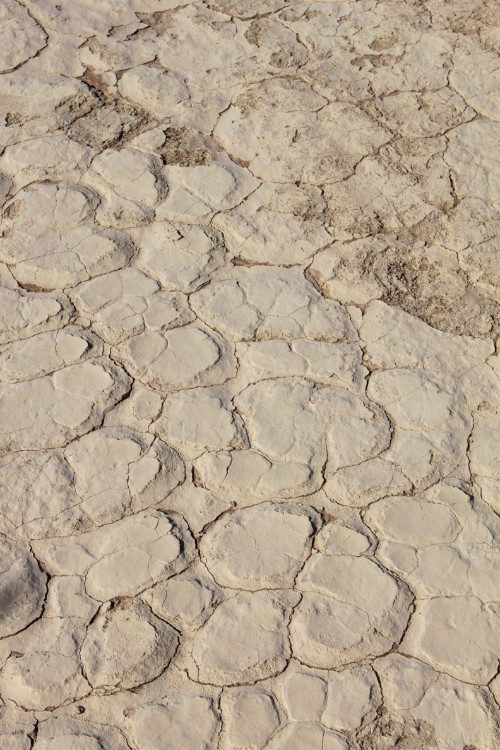
The highest and more stable dunes are partially covered with a relatively rich vegetation, which is mainly watered by a number of underground and ephemeral rivers that seasonally flood the pans, creating marshes that are locally known as vlei; when dry, these pans look almost white in color, due to the high concentration of salt. Another relevant source of water for Sossusvlei is the humidity brought by the daily morning fogs that enter the desert from the Atlantic Ocean.
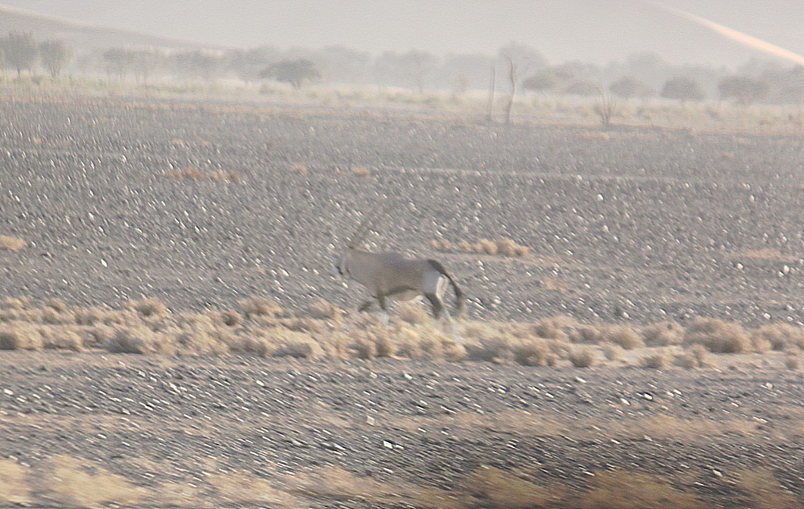
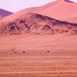
Fauna in the Sossusvlei area is relatively rich. It mostly comprises small animals that can survive with little water, including a number of arthropods, small reptiles and small mammalians such as rodents or jackals); bigger animals include antelopes (mainly oryxes and springboks) and ostriches. During the flood season, several migrant bird species appear along the marshes and rivers. Much of the Sossusvlei and Namib fauna is endemic and highly adapted to the specific features of the Namib. Most notably, fog beetles such as the Namib Desert Beetle have developed a technique for collecting water from early morning fogs through the bumps in their back.
Landmarks
Sesriem
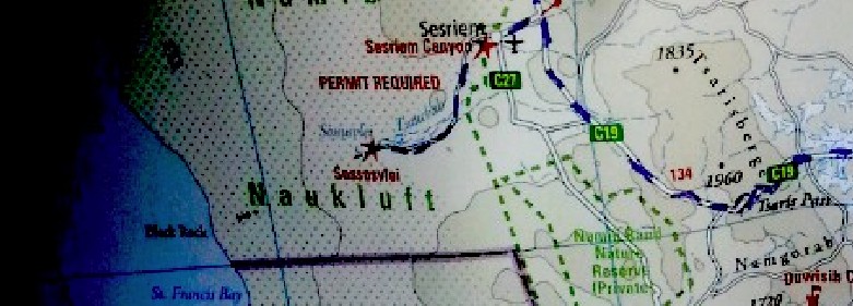
Access to the Sossusvlei area of the Namib-Naukluft National Park is from the Sesriem gate, which is located in the surroundings of the eponymous canyon. From Sesriem, a 60 km tarmac road leads to Sossusvlei proper.
Elim Dune
The Elim Dune is a high and relatively isolated dune located 5 km past the Sesriem gate, on a branch of the main road connecting Sesriem to Sossusvlei. The dune takes its name from a farm that used to be in the area before the National Park was established.
Dune 45
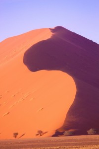
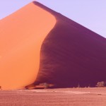
Dune 45 is so called because it lies 45 km past Sesriem on the road to Sossusvlei. It is 80 meters high and it is composed of 5-million-year-old sands.
Sossusvlei
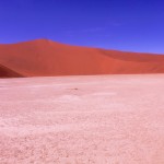
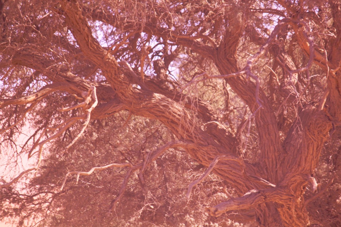
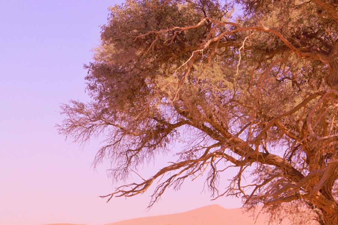
Sossusvlei is about 66 km past the Sesriem gate. The last 6 km can only be traversed with 4WD vehicles as the metalled road ends and sand begins (the place where the metalled road ends is known as “2×4 parking” as any non-4WD vehicle must stop there). Sossusvlei is a clay pan, of roughly elliptical shape, covered in a crust of salt-rich sand. While the pan has been shaped over time by the Tsauchab river, the actual flooding of the pan is a relatively rare event, and sometimes several years pass between one flood and the next one. The river is dry most of the year, and even when it is not, it carries relatively little water to the vlei. The vlei is surrounded by high orange-reddish dunes, partially covered by a vegetation comprising grass, bushes, and some tree (mostly of species Acacia erioloba).
Big Daddy
Big Daddy is the highest dune in the Sossusvlei area; it is about 325 meters high (height may vary over time as it is made of sand). Dune 7 which is the highest dune in the world, not Big Daddy, as it is the seventh dune past the Tsauchab river before dune 45 on your right handside toward Sossusvlei (note that this should not be confused with Dune 7 in Namibia, near Walvis Bay). Big Daddy is located past Sossusvlei proper, near Deadvlei. It faces another very high dune known as “Big Mama”.
Deadvlei
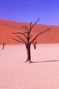
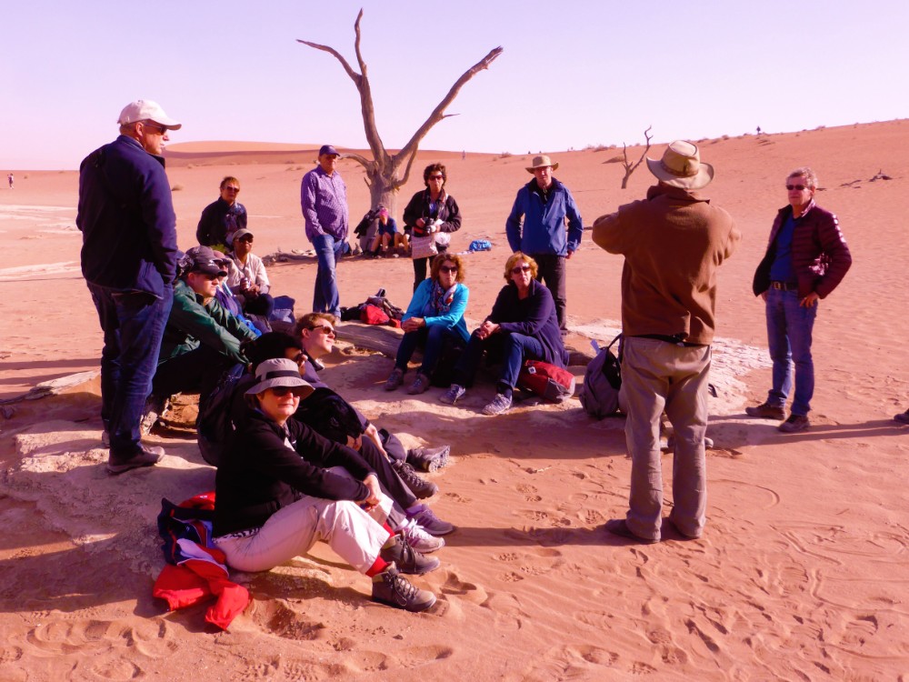
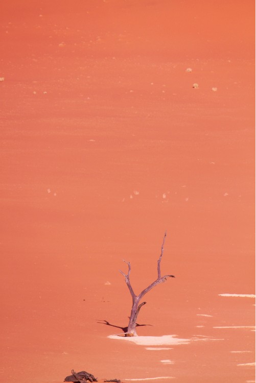
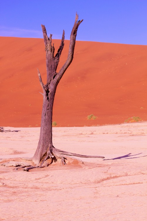
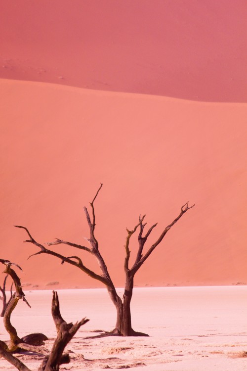
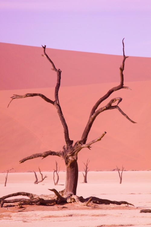
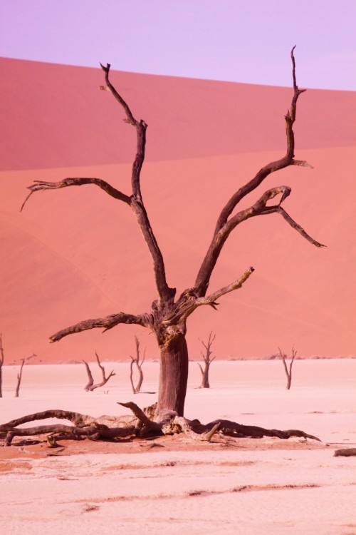
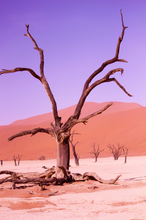
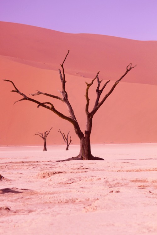
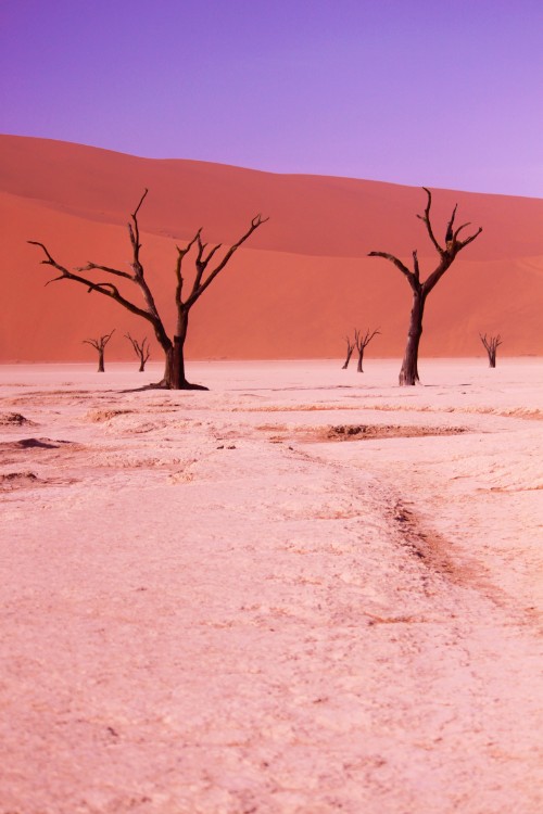
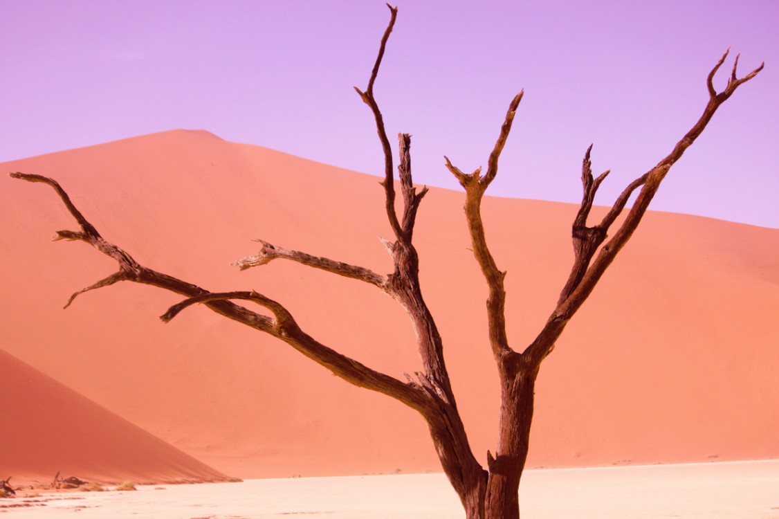
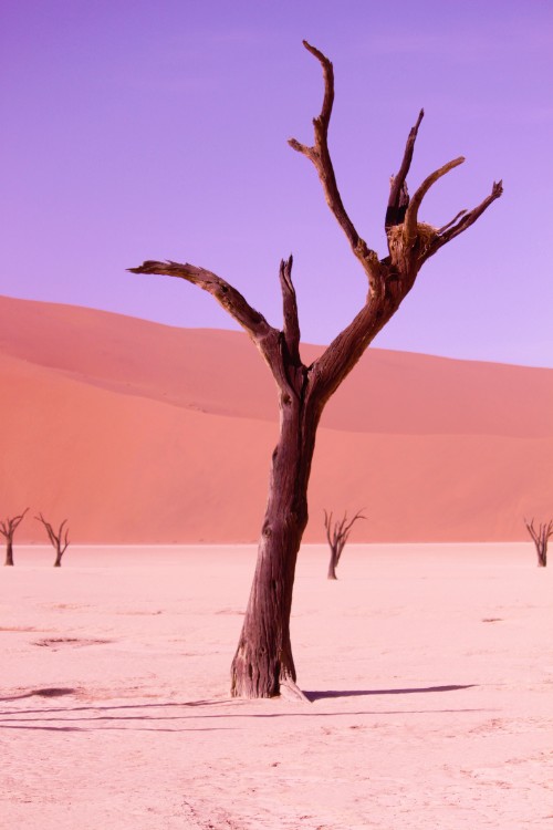
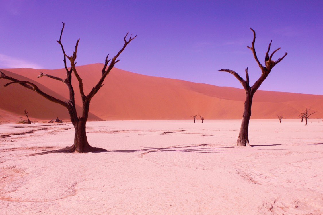
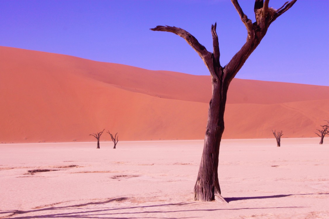
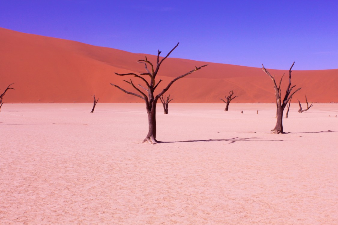
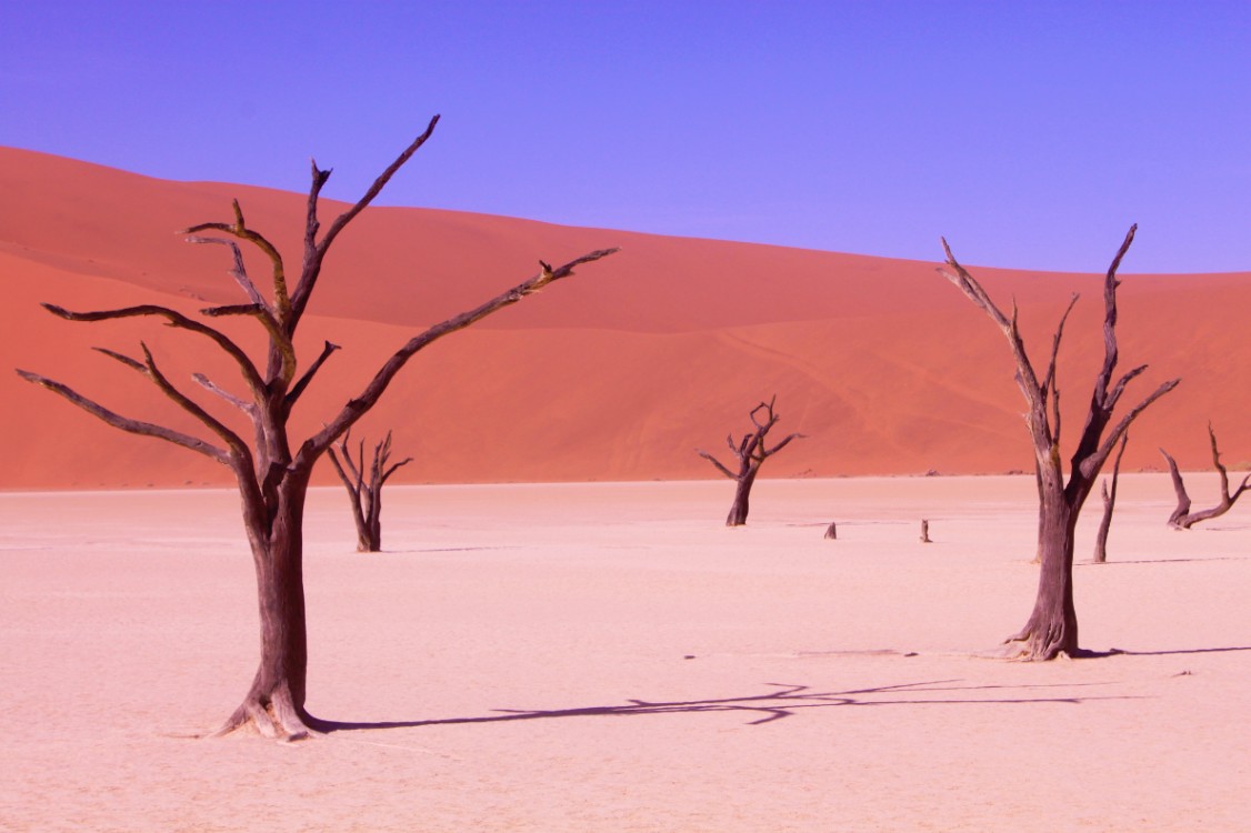
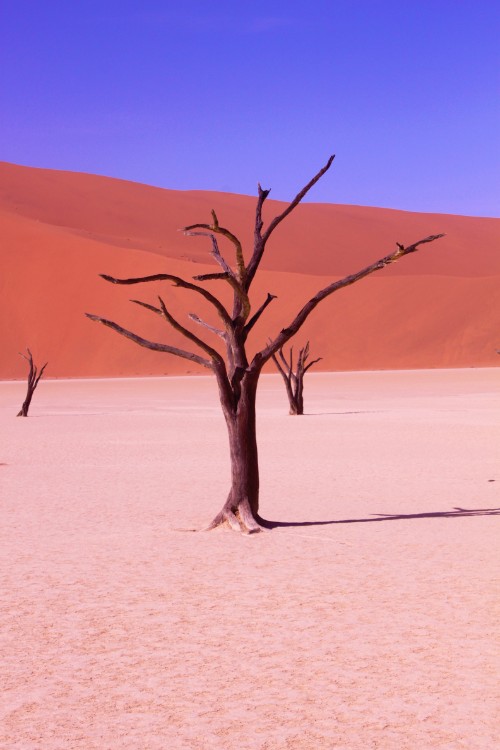
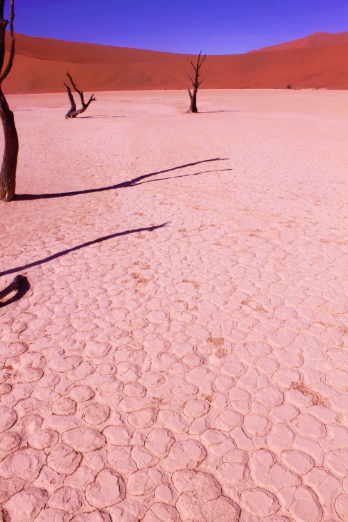
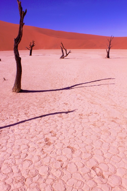
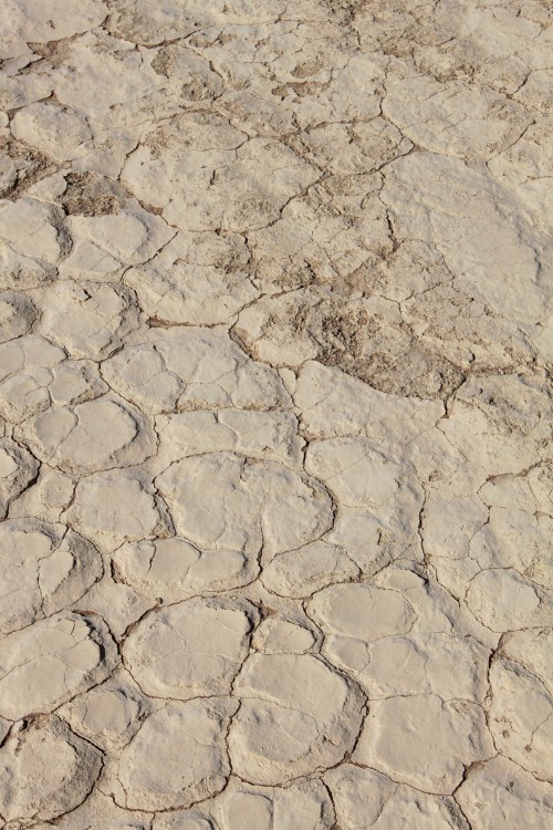
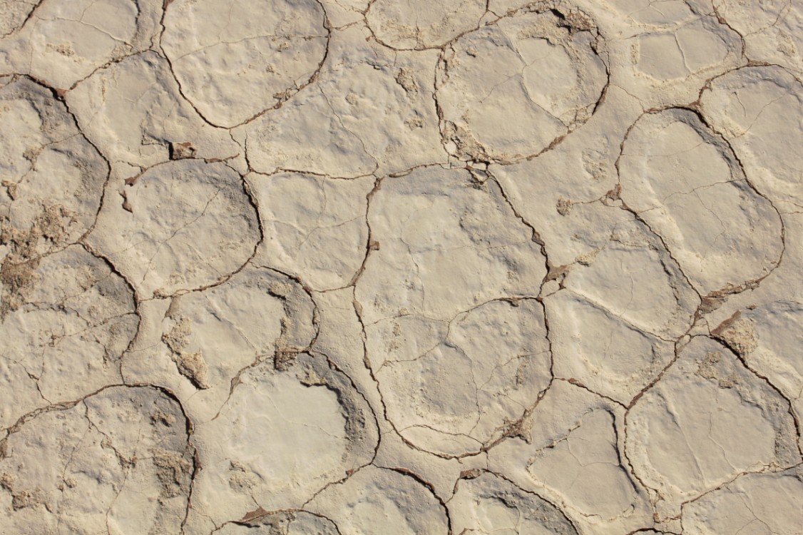
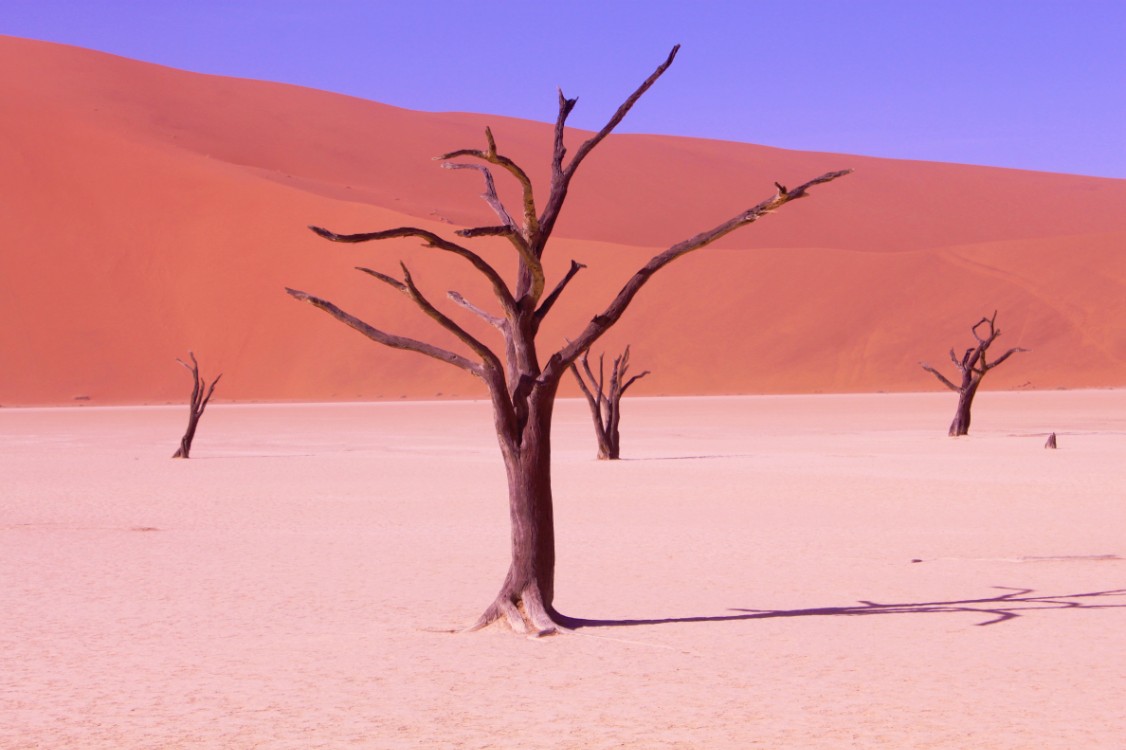
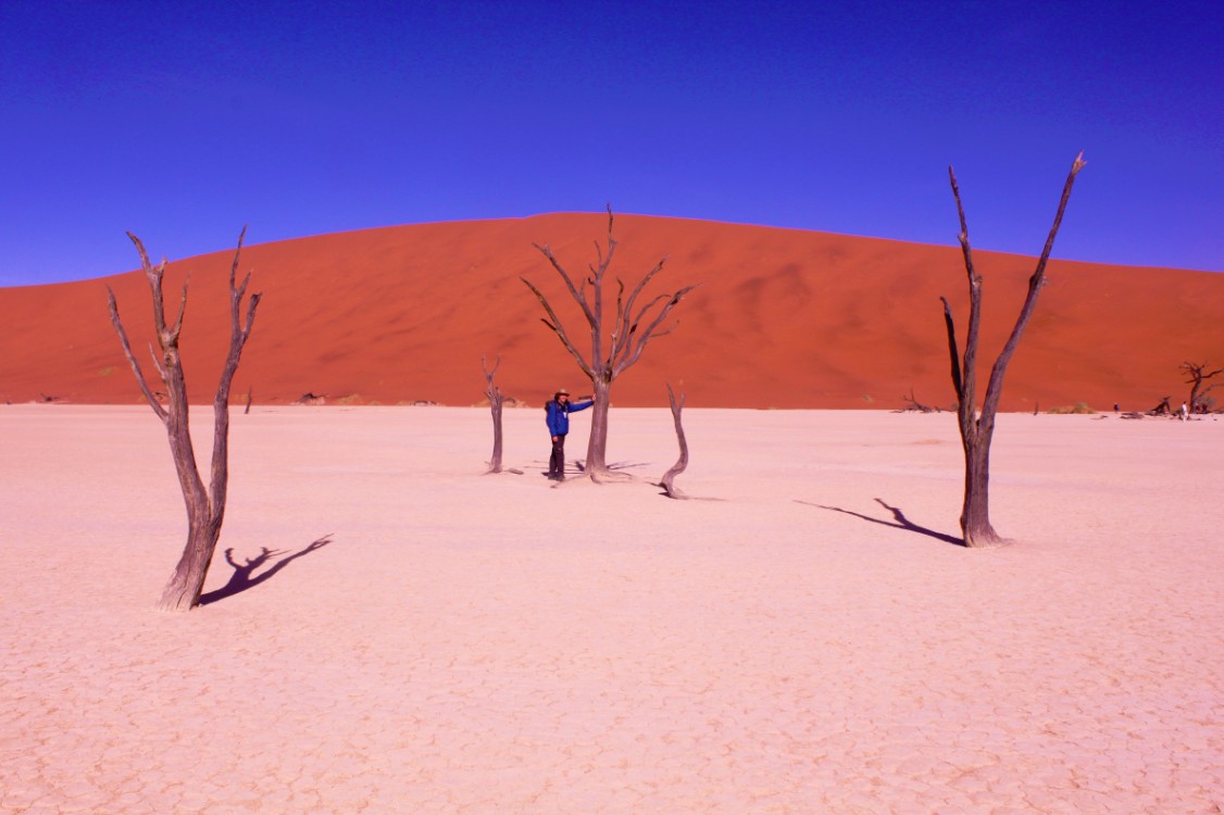
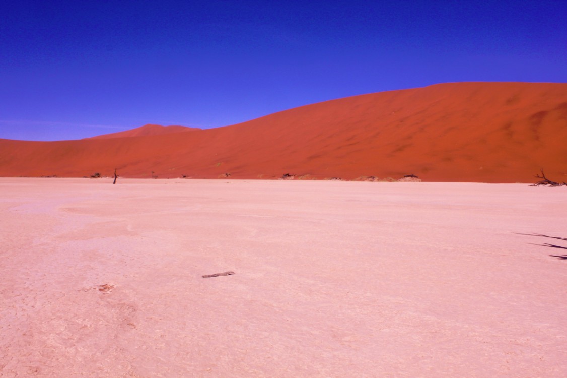
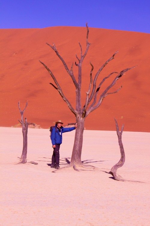
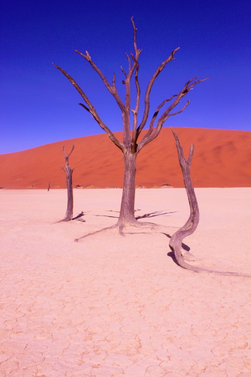
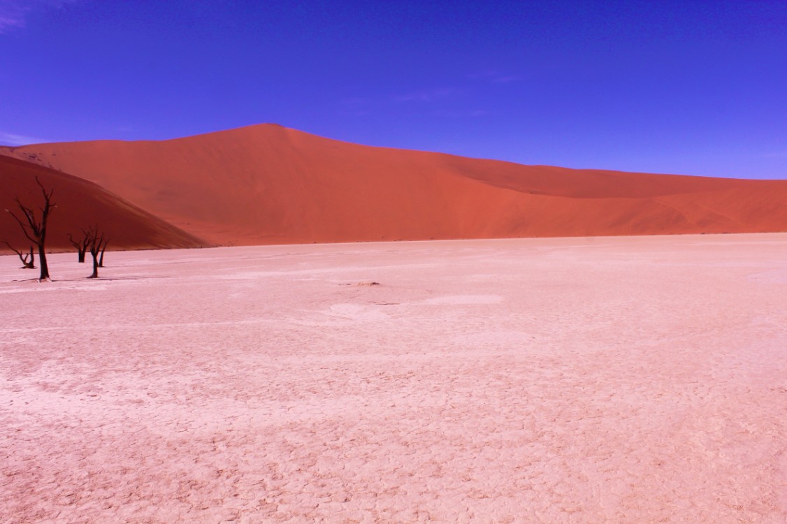
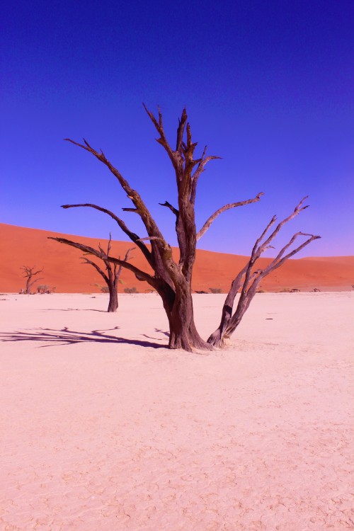
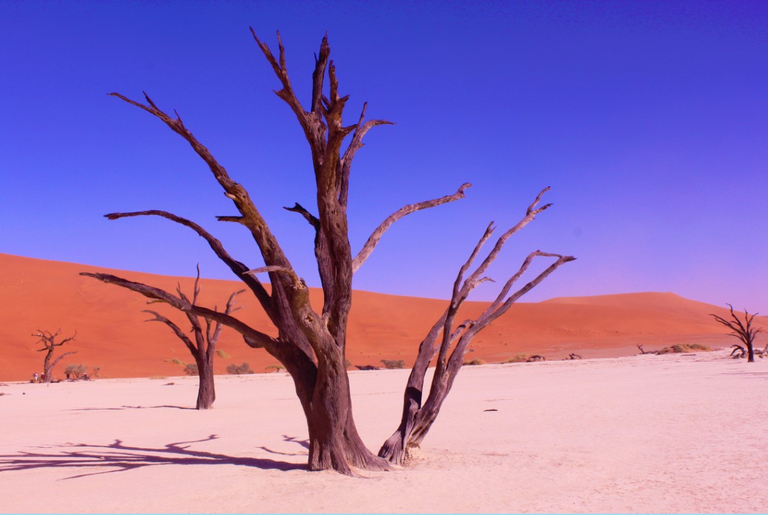
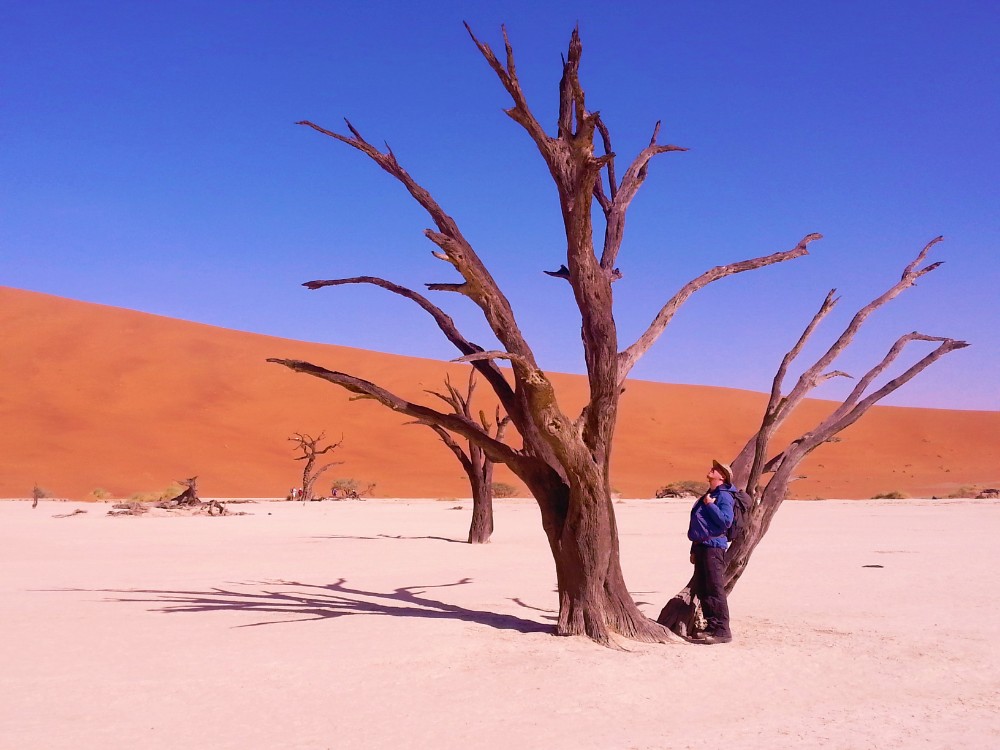
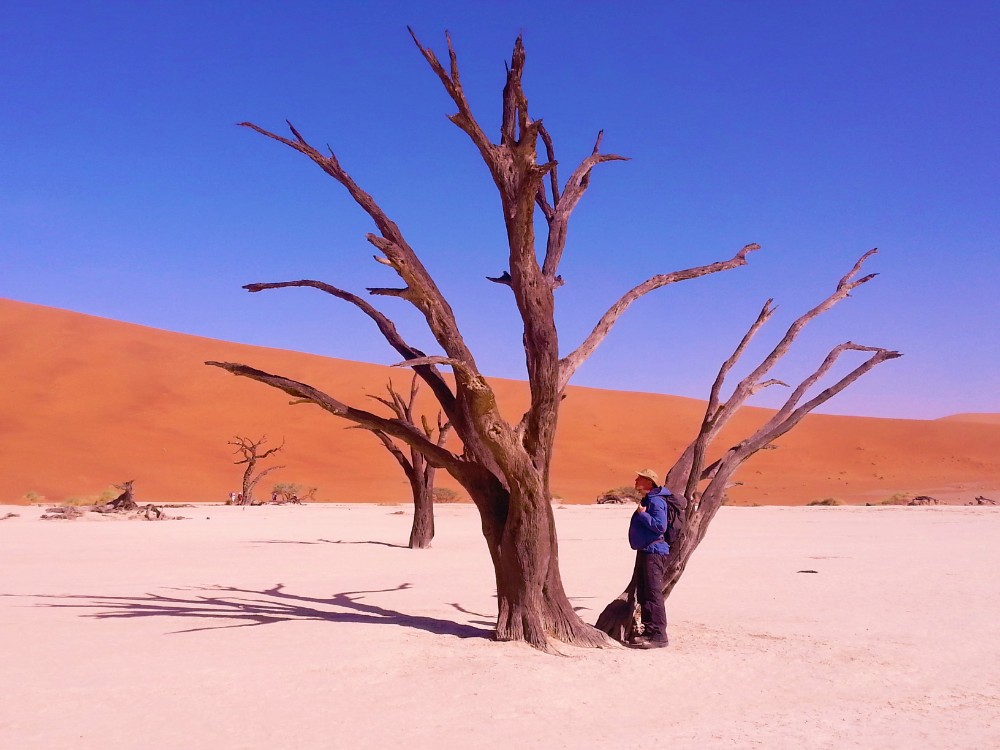
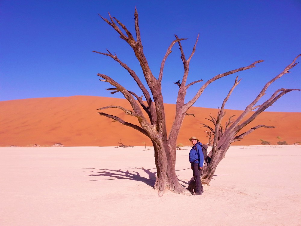
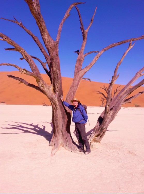
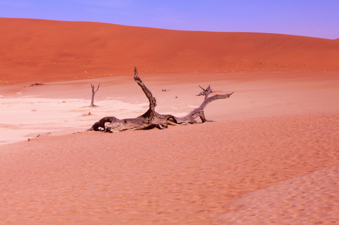
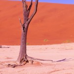
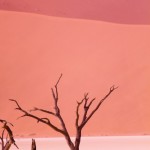
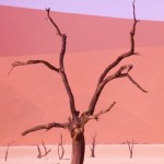
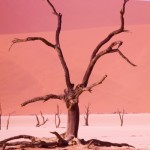
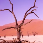
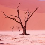
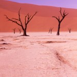
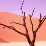
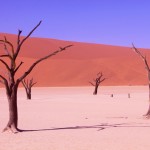
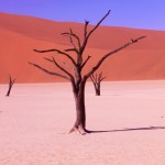
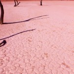
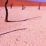
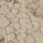
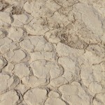
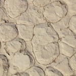
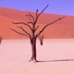
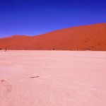
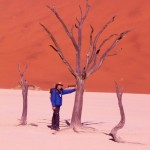
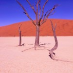
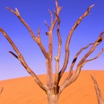
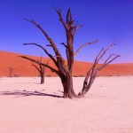
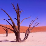
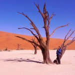
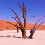
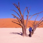
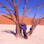
Deadvlei is another clay pan, about 2 km from Sossusvlei. A notable feature of Deadvlei is that it used to be an oasis with several acacia trees; afterwards, the river that watered the oasis changed its course. The pan is thus punctuated by blackened, dead acacia trees, in vivid contrast to the shiny white of the salty floor of the pan and the intense orange of the dunes. This creates a particularly fascinating and surrealistic landscape, that appears in innumerable pictures and has been used as a setting for films and videos.
Hiddenvlei
Hiddenvlei (or Hidden Vlei) is the third most famous vlei in the Sossusvlei area. It is 4 km from the 2×4 parking, and it is the less visited.
Petrified dunes
Petrified dunes are sand dunes that have solidified to rock and are found in several places in the Sossusvlei area.
Tourism
Since Sossusvlei is possibly the foremost attraction of Namibia, much has been done by the Namibian authorities to support and facilitate tourism in the area. The asphalt road was built in the early 2000s (decade) to connect Sesriem and Sossusvlei’s 2×4 parking is one of the very few non-urban metalled roads in Namibia. Numerous places of accommodation are found along the border of the National Park, between Sesriem and the nearest settlement, Solitaire. Recently, accommodation has been built inside the park. It is also possible to take scenic flights over the dunes, either with small planes (mainly from Swakopmund and Walvis Bay) or in hot air balloons (departing from Sesriem in the morning).
In popular culture
As a consequence of its fascinating and surrealistic landscapes, Sossusvlei is one of the most photographed places in Subsaharan Africa. The area has been the setting of a number of commercials, music videos, and movies, especially of the fantasy genre; one of the most well-known examples is the psychological thriller The Cell (2000), where the Sossusvlei landscape is used to represent an oneiric virtual reality.
The nonverbal documentary “Samsara” depends on a number of shots of the desert for subtle spiritual commentary. Other movies with scenes shot in Sossusvlei include “The Fall” and “Steel Dawn“.
The drive through Sossuvlei is magnificent…
At Sossusvlei and near Deadvlei are some of the highest dunes in the world reaching between 300 and 400 meters up and a target for those who like the challenge of climbing…
Deadvlei
Deadvlei is a white clay pan located near the more famous salt pan of Sossusvlei, inside the Namib-Naukluft Park in Namibia. Also written DeadVlei or Dead Vlei, its name means “dead marsh” (from English dead, and Afrikaans vlei, a lake or marsh in a valley between the dunes). The pan also is referred to as “Dooie Vlei” which is the (presumably original) fully Afrikaans name. In Google there are many references to the site, its name often being translated erroneously in terms such as “dead valley”; a vlei is not a valley (which in Afrikaans is “vallei”). Nor is the site a valley; the pan is a desiccated vlei.
Dead Vlei has been claimed to be surrounded by the highest sand dunes in the world, the highest reaching 300-400 meters (350m on average, named “Big Daddy” or “Crazy Dune”), which rest on a sandstone terrace.
The clay pan was formed after rainfall, when the Tsauchab river flooded, creating temporary shallow pools where the abundance of water allowed camel thorn trees to grow. When the climate changed, drought hit the area, and sand dunes encroached on the pan, which blocked the river from the area.
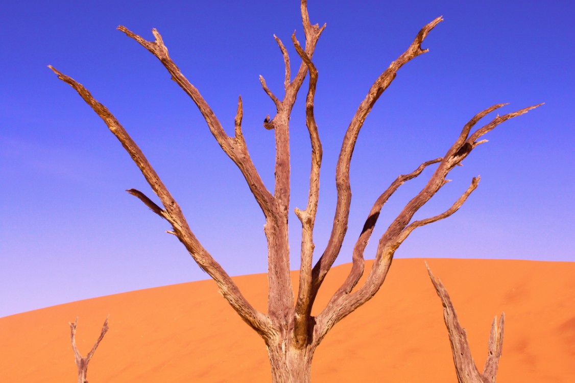
The trees died, as there no longer was enough water to survive. There are some species of plants remaining, such as salsola and clumps of !nara, adapted to surviving off the morning mist and very rare rainfall. The remaining skeletons of the trees, which are believed to have died 600-700 years ago (AD 1340- 1430), are now black because the intense sun has scorched them. Though not petrified, the wood does not decompose because it is so dry.
In 2000 the psycho thriller The Cell (starring Jennifer Lopez) was partly shot in that location. The Bollywood blockbuster film Ghajini was shot here in 2008.
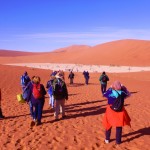
Leaving Deadvlei towards the main Sossusvlei means walking through deep sand and dunes too…
After visiting the Deadvlei The Wandelgek drove back to the Sossusvlei.
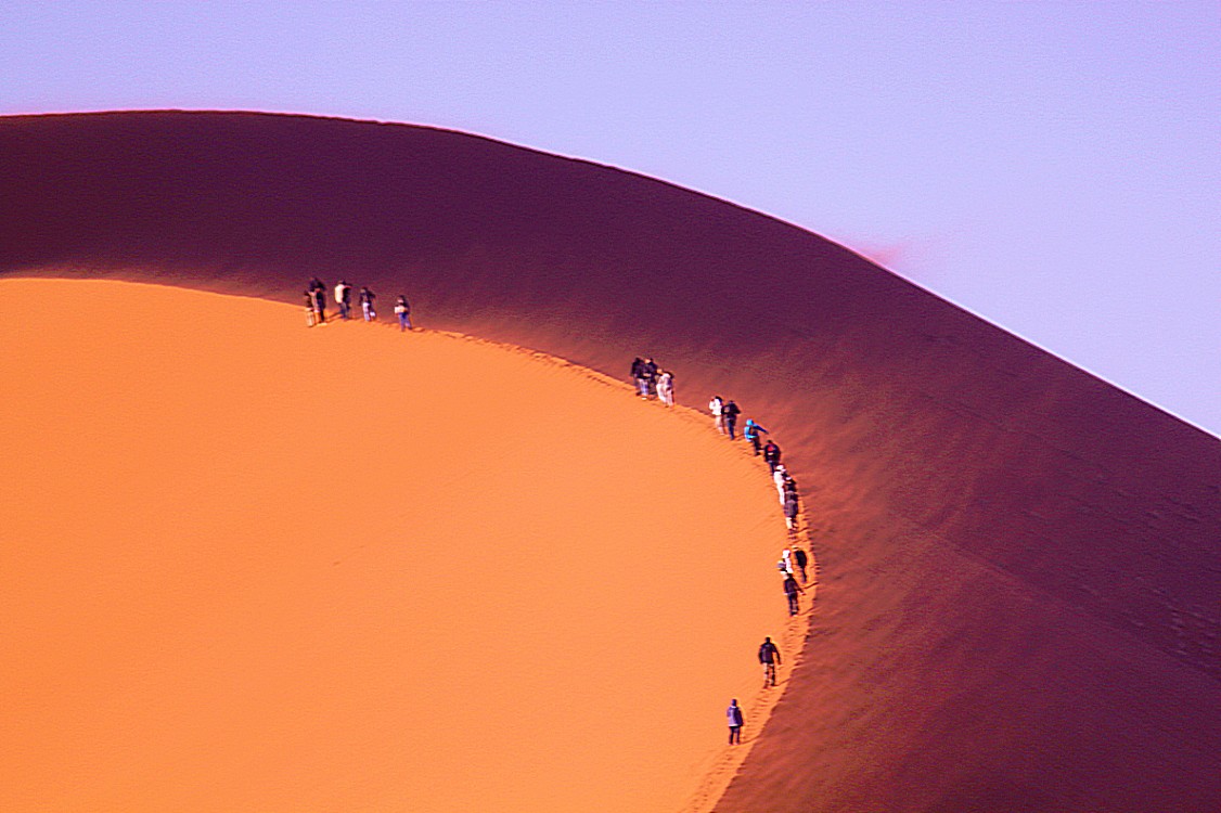
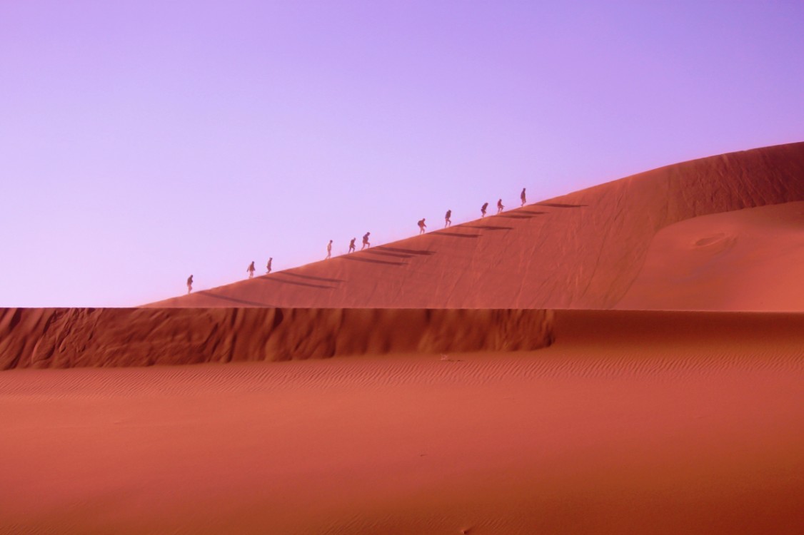
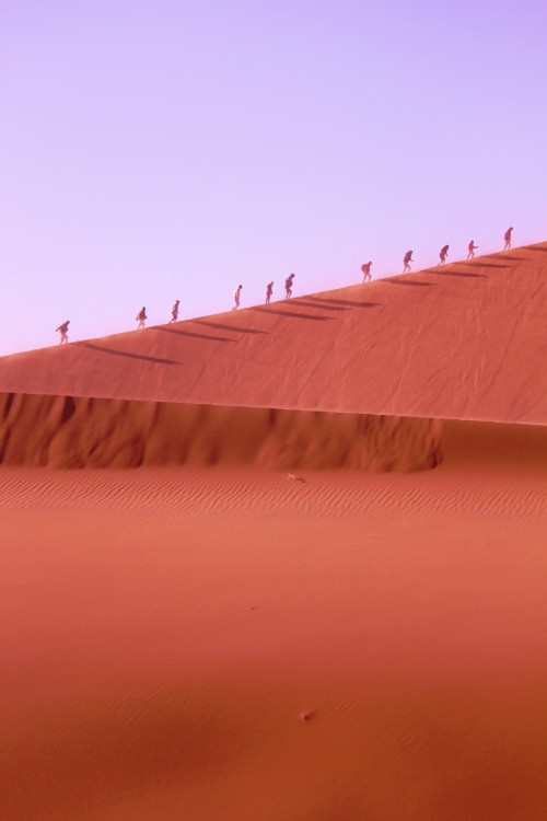
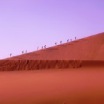
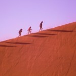
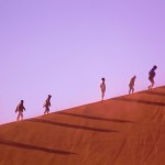
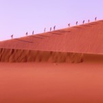
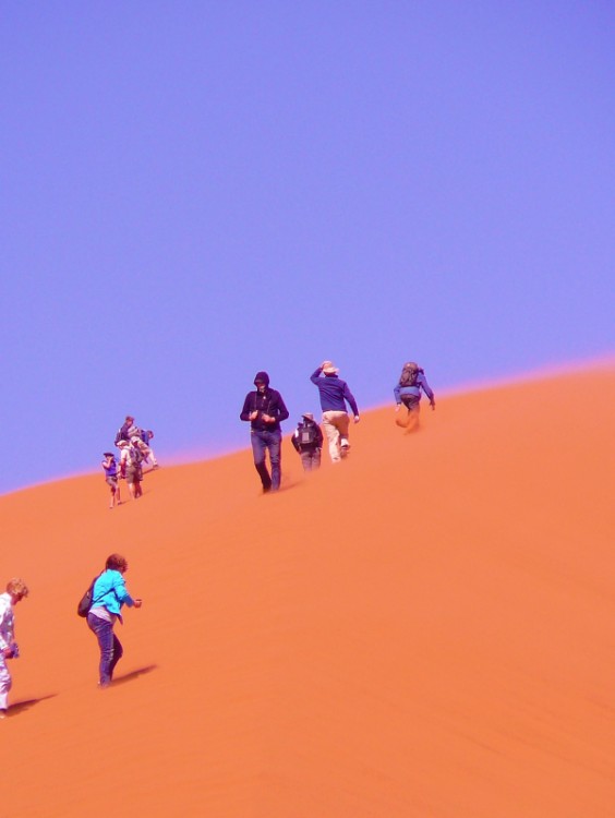
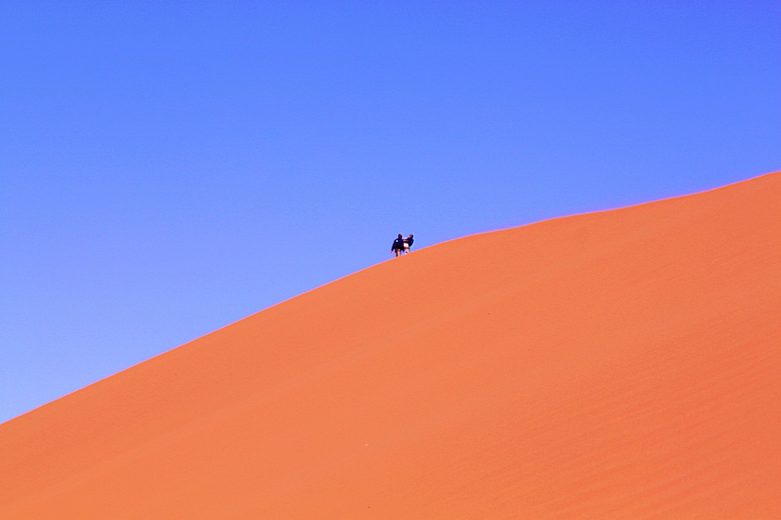
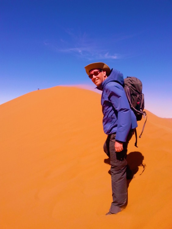
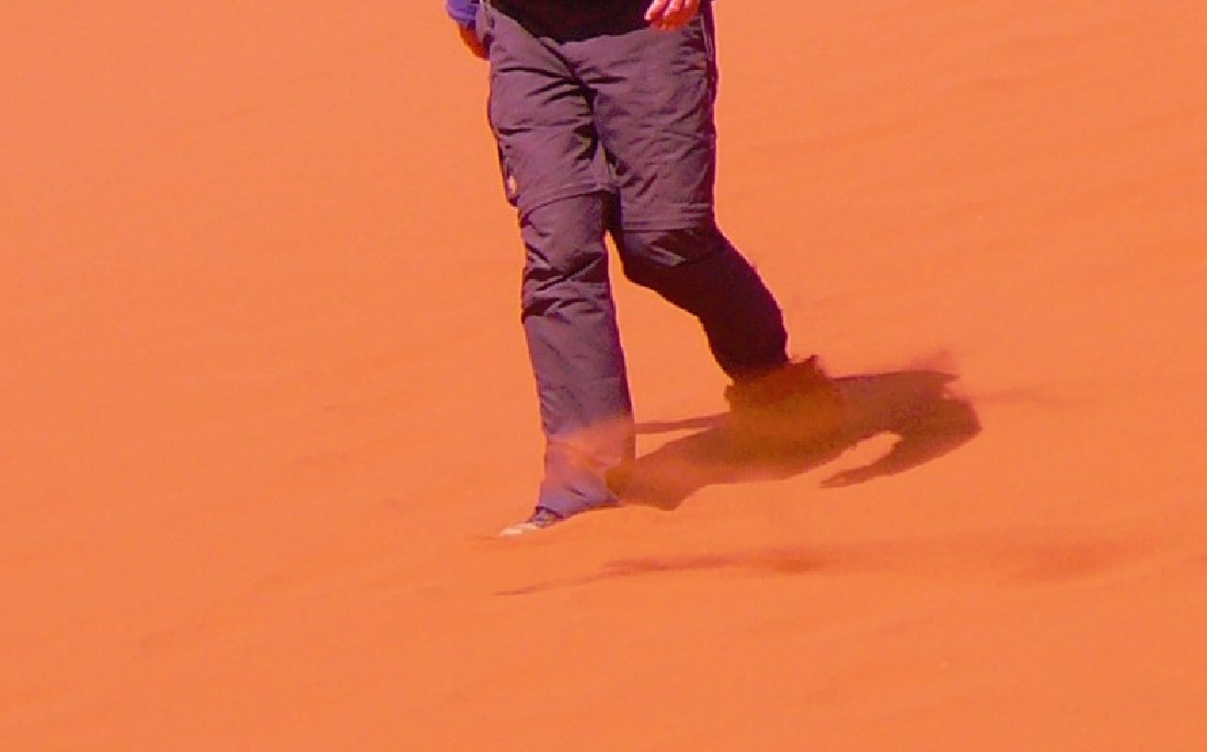
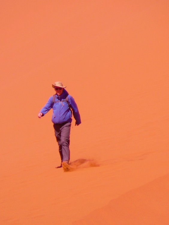
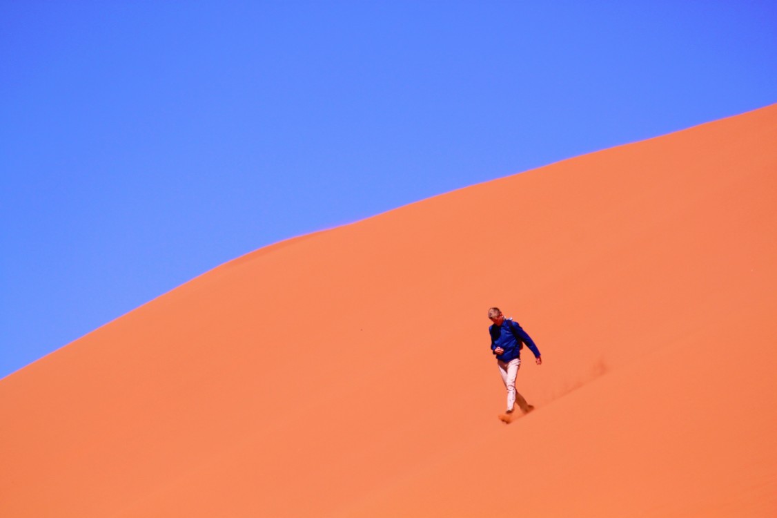
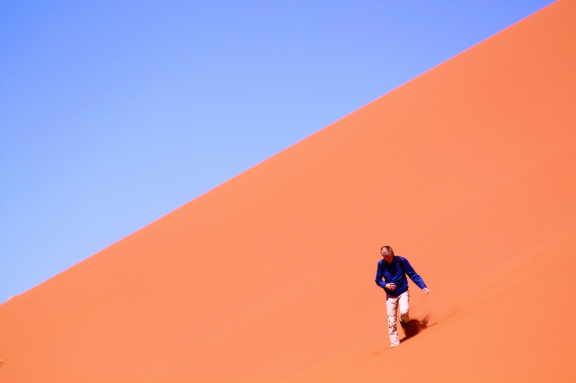
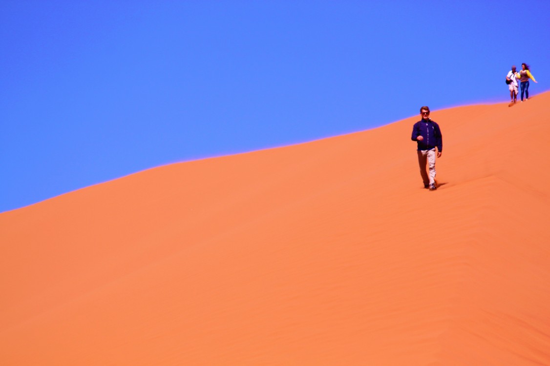
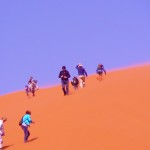
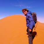
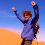
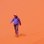
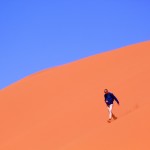
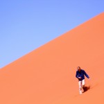
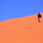
and from there by truck to Dune 45. It had to be climbed, no it beckoned to be climbed and it was anything but easy. It was always three steps up and two steps down in the tiny quartz sand of which this desert was composed and the fact that he wore new Meindl hiking boots with a fine profile on the bottom, changed nothing about that, because there was actually 0.0 % grip. While ascending, the storm sandblasted the climbers considerably and the quartz sand was so small that it rally got in to every crack and cravice of clothes, backpack or camera and even in to eyes, ears and nostrils. The Wandelgek had therefore packed the camera in a plastic bag containing a hole which was drawn tightly around the lens. As a result, it was possible to make pictures without too much risk of sand grains in the camera, provided that the open end of the plastic bag was kept out of the wind or was shielded by his own body.
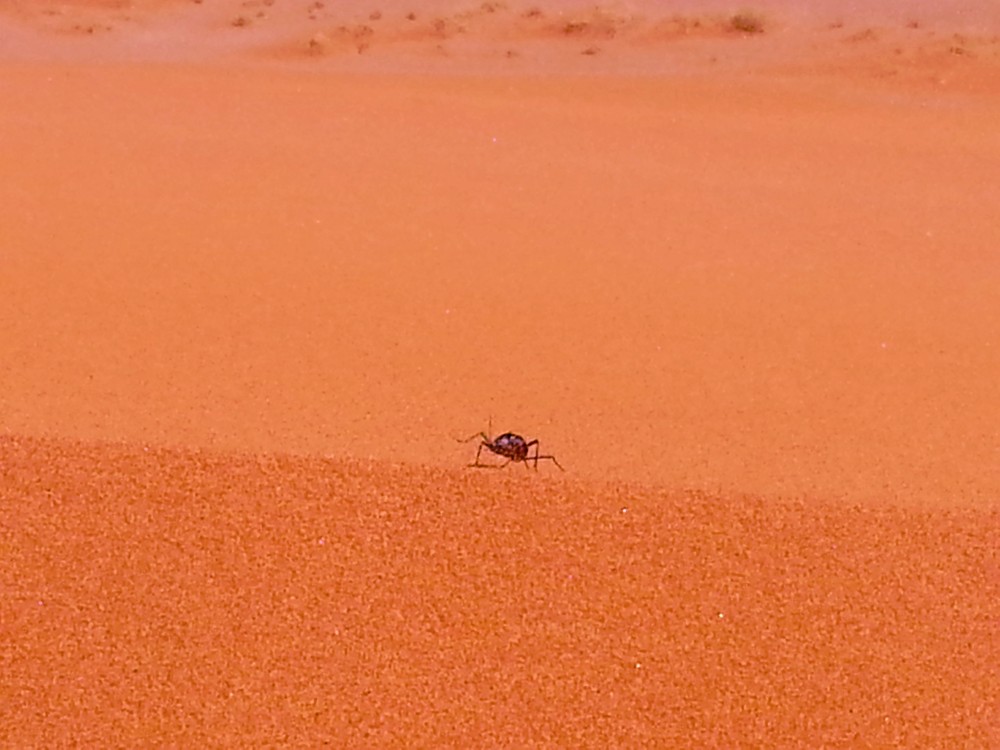
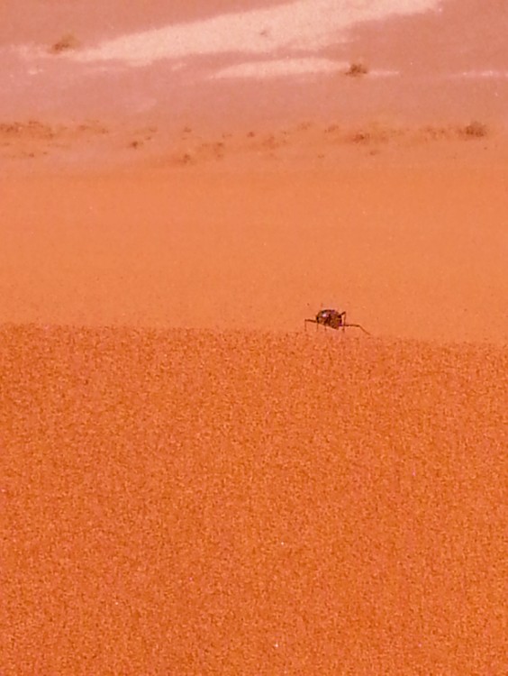
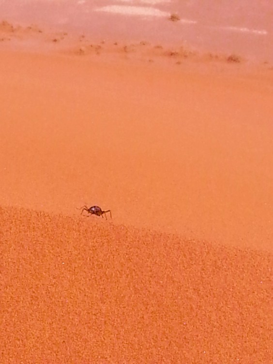
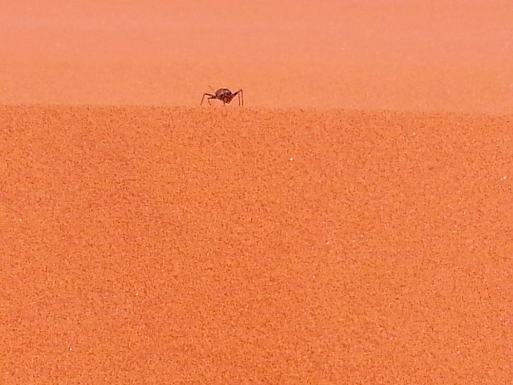
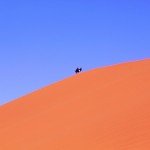
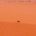
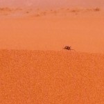
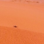
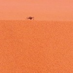
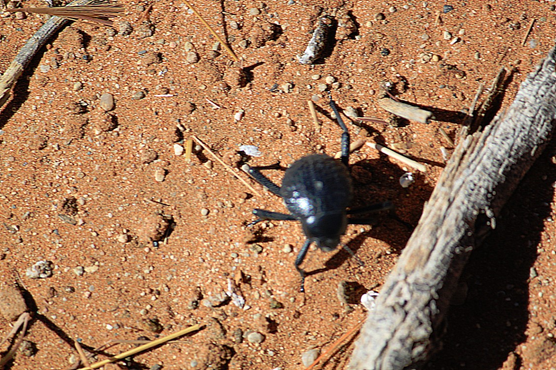
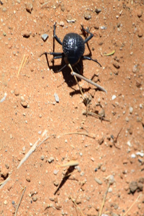
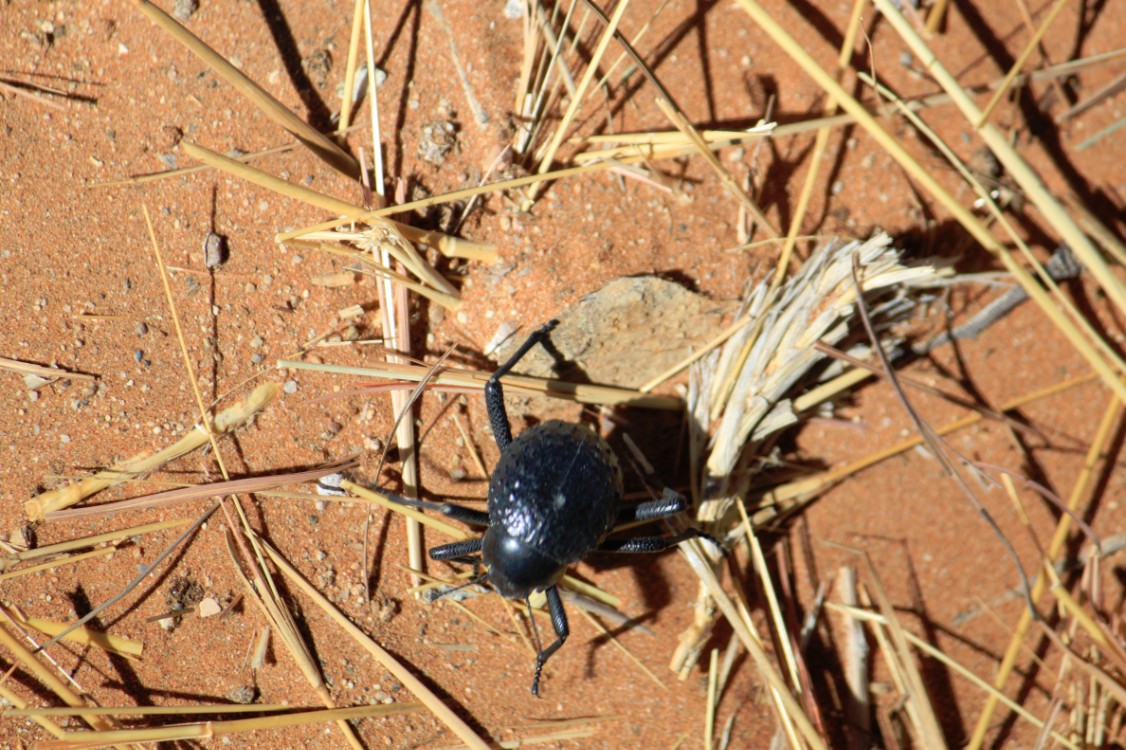
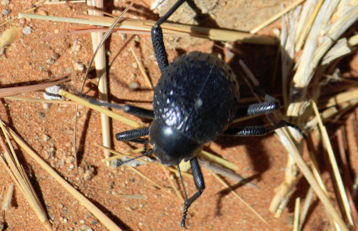
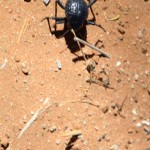
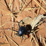
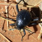
When The Wandelgek ran down or actually slided down the dune, he saw on the dune ridge where he had been climbing before, small beetles. They crawled exactly on the edge which resulted in photographs that always had an immense abyss directly behind the beetle.
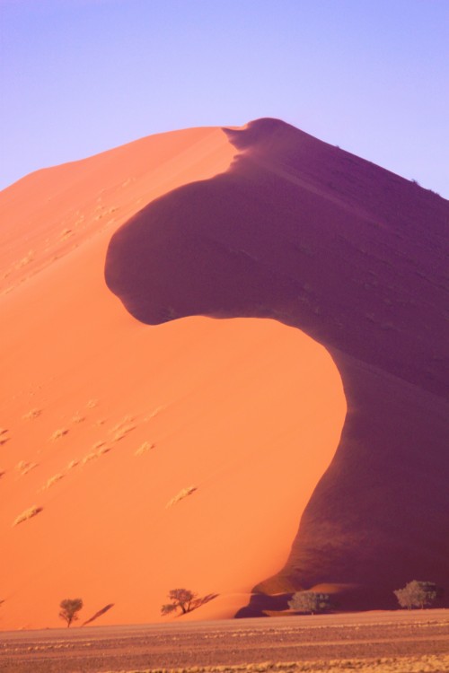
Dune 45
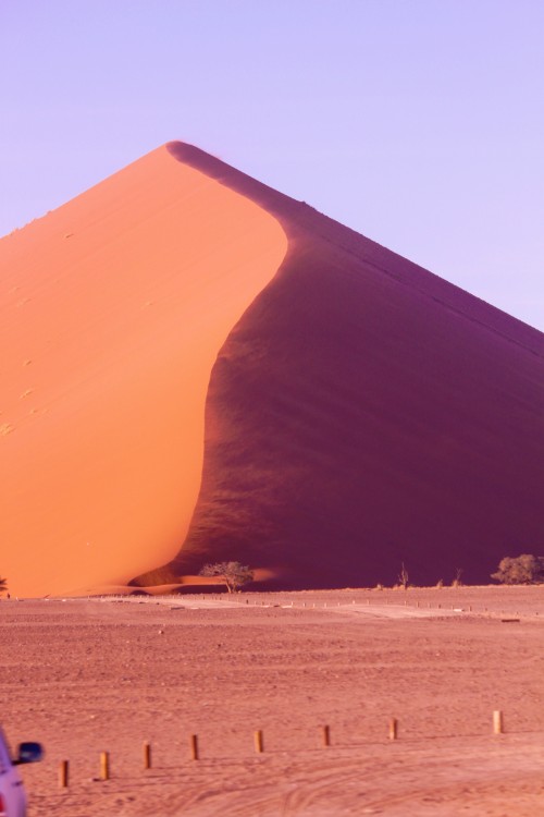
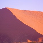
Dune 45 is a star dune in the Sossusvlei area of the Namib Desert in Namibia. Its name comes from the fact that it is at the 45th kilometre of the road that connects the Sesriem gate and Sossusvlei. Standing over 170m, it is composed of 5-million-year-old sand that is detritus accumulated by the Orange River from the Kalahari Desert and then blown here.
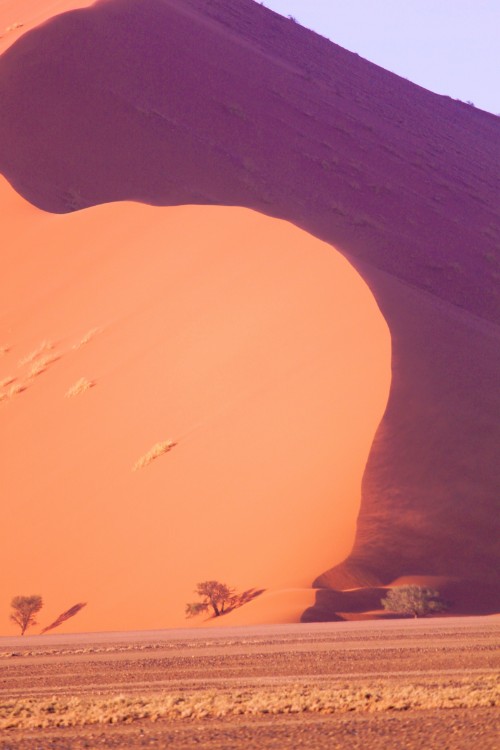
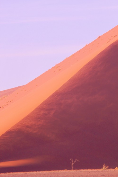
Because it is near the road the dune is often photographed, particularly early and late in the day when one side of the dune is in shadow. It is often climbed by visitors to Sossusvlei.
At the base of the Dune and after a little rest the journey was continued, now back to Sesriem.
Sesriem
Sesriem is a small settlement located in the Namib Desert, in Namibia, close to the southern end of the Naukluft Mountains. It is especially known because the “Sesriem gate” is the main access point to the Namib-Naukluft National Park for visitors entering the park to visit the nearby tourist attraction of Sossusvlei. As many “settlements” in the Namib, Sesriem is essentially a filling station with basic services such as public telephones and a couple of small kiosks where travellers can get general supplies such as food and water. In the surroundings of Sesriem there are several accommodations, such as a few lodges (e.g., “Le Mirage Desert” and the “Sossusvlei Lodge”) and at least 24 campsites for backpackers.
By the Sesriem gate, hot air balloons depart in the early morning, providing scenic flights over the Sossusvlei dunes.
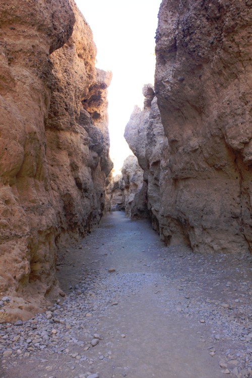
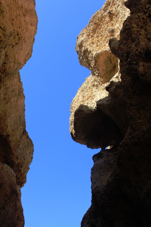
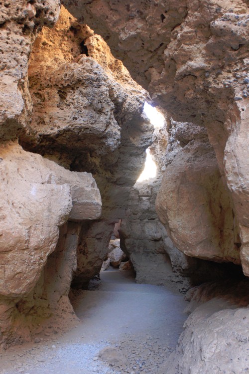
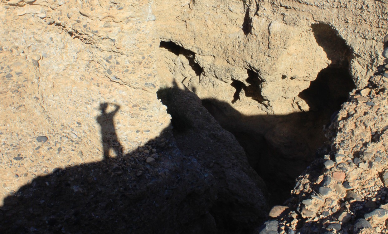
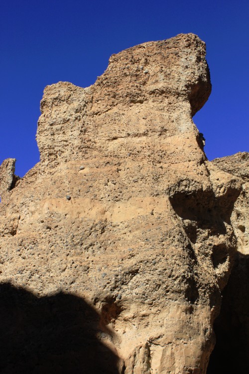
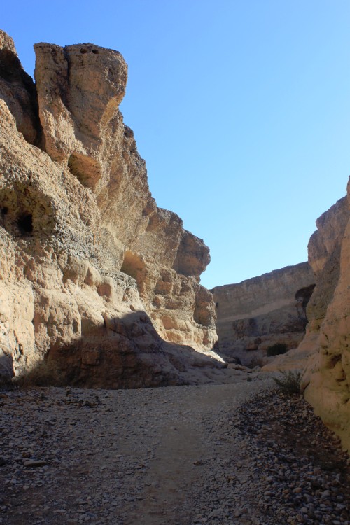
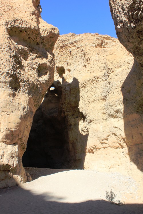
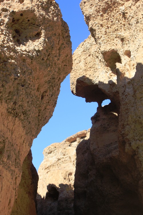
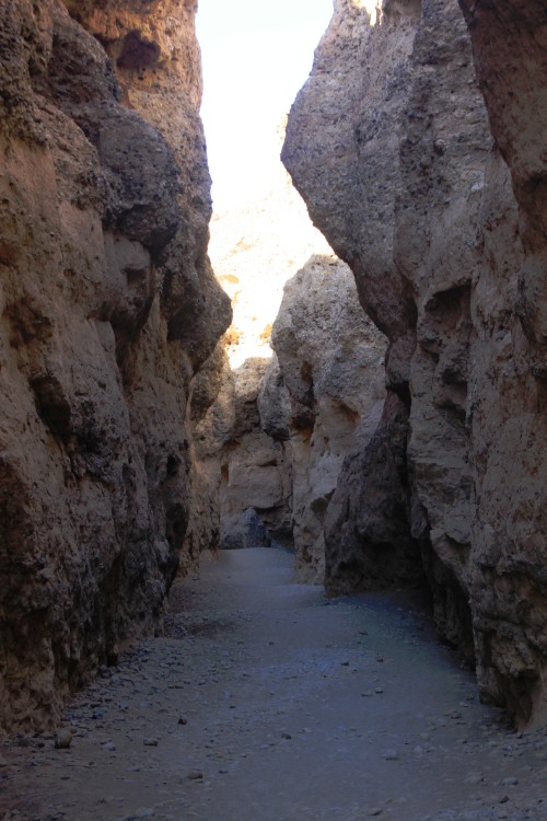
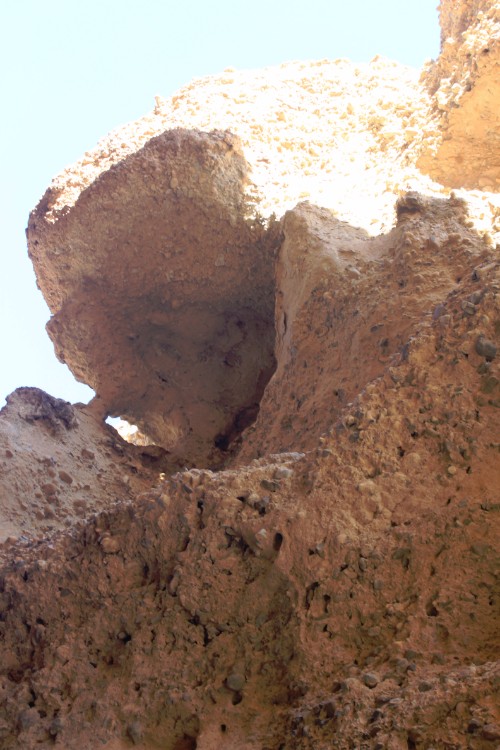
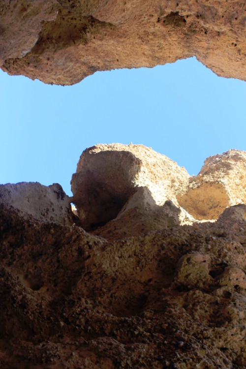
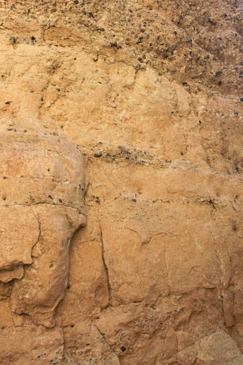
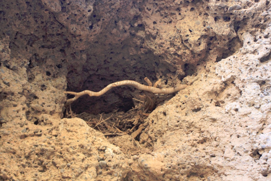
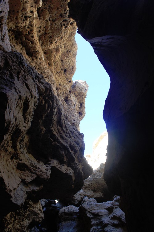
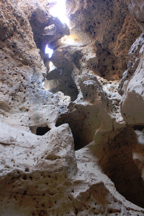
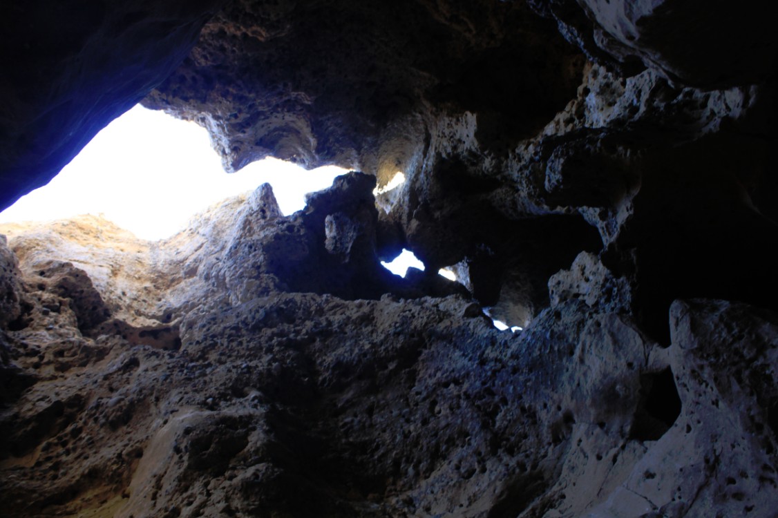
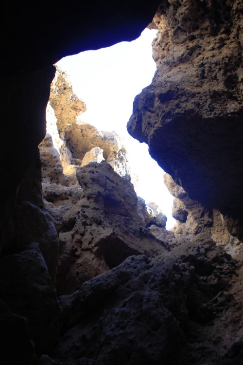
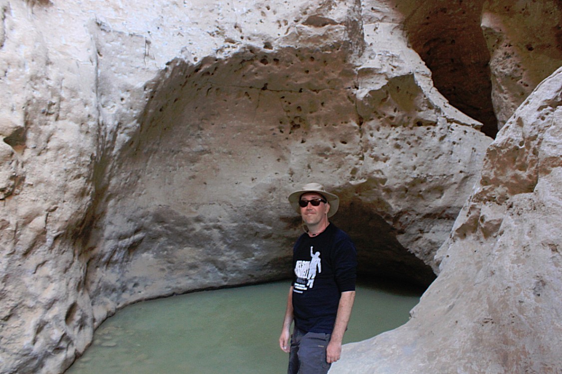
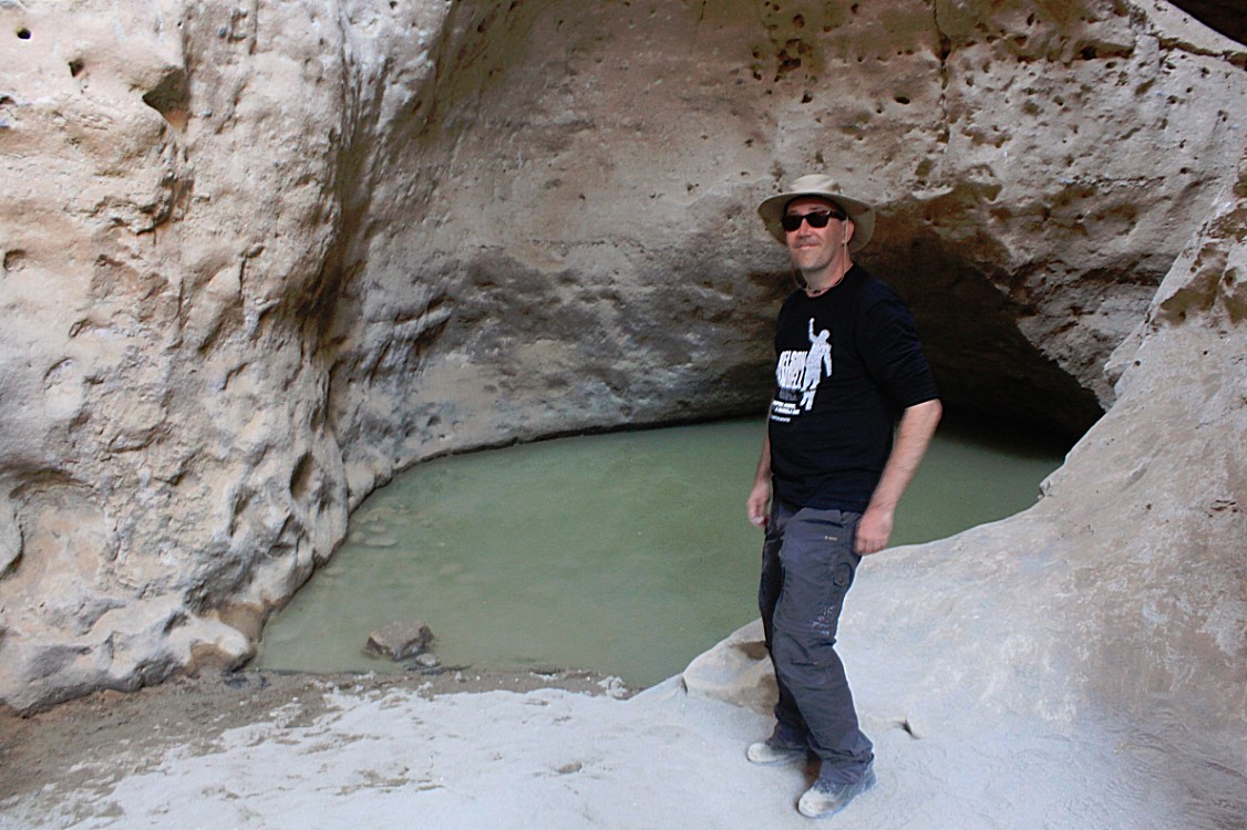
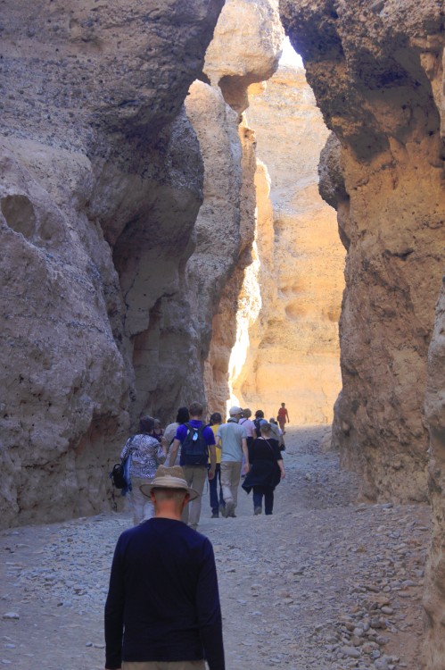
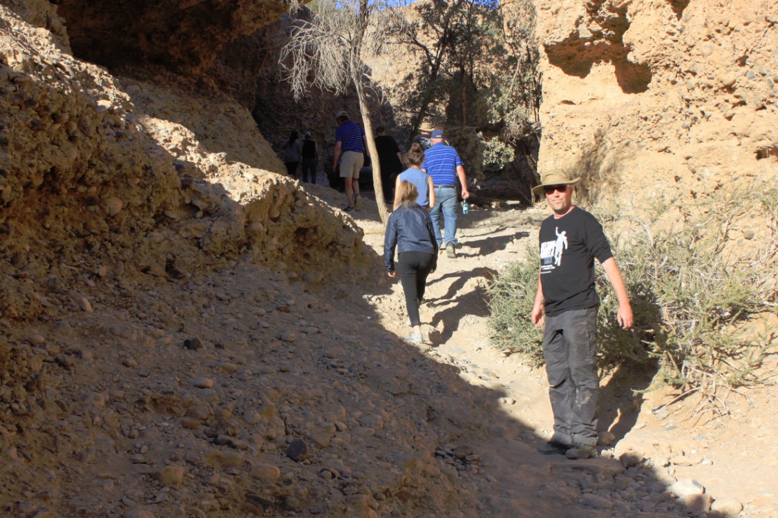
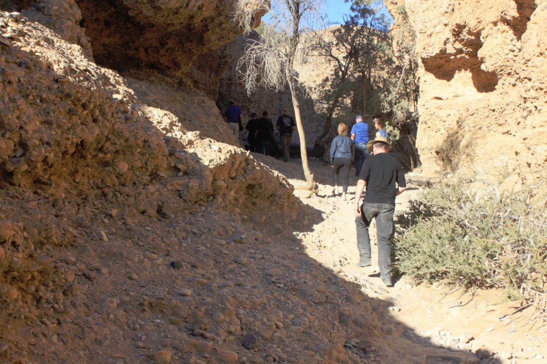
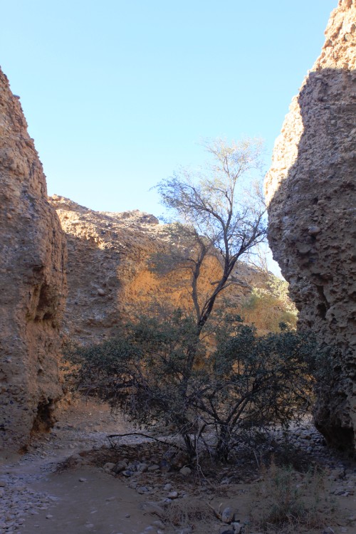
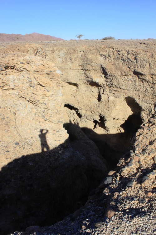
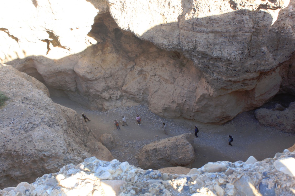
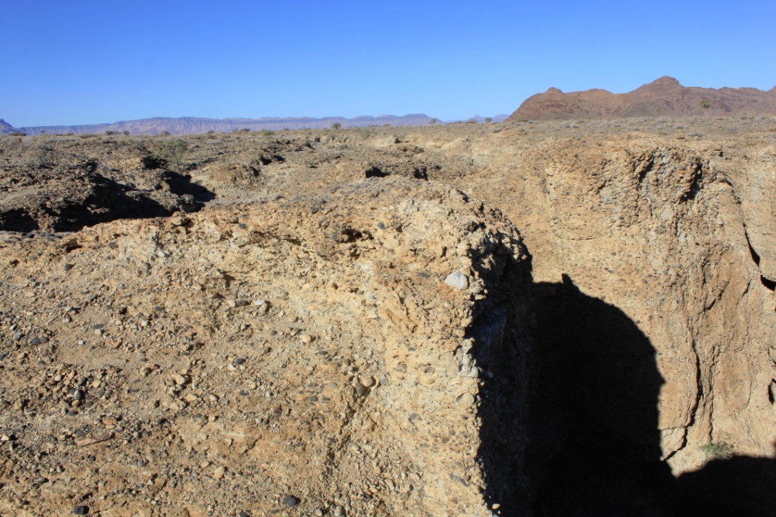
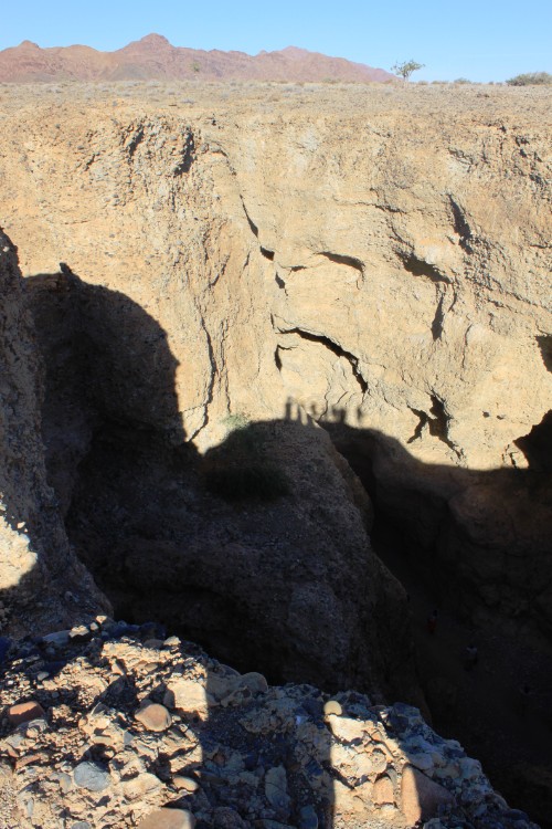
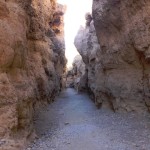
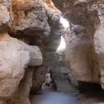
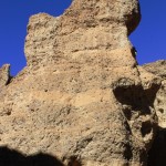
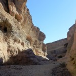
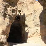
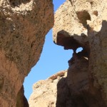
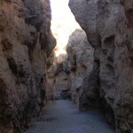
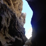
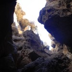
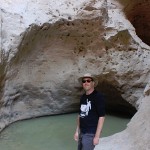
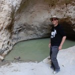
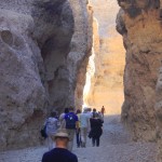
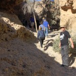
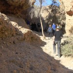
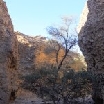
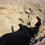
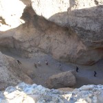
Sesriem was situated near to the Sesriem canyon and The Wandelgek descended in to that canyon. The canyon was nothing in size compared to the Fish River Canyon which The Wandelgek had seen two days earlier, but it still was a very beautiful canyon. This was mainly due to the jagged rocks and the narrowness of the canyon, reminiscent in some places to photos of the canyon that leads to Petra in Jordan.
Sesriem Canyon
Sesriem is also known for the Sesriem Canyon, about 4 km from Sesriem itself, which is the second most important tourist attraction in the area after Sossusvlei. It is a natural canyon carved by the Tsauchab rivier in the local sedimentary rock, about a kilometre (0.6 mile) long and up to 30 meters (100 feet) deep. The name Sesriem is Afrikaans and means “six belts”, given by settlers returning from the Dorsland Trek who had to attach together six belts (made of oryx hides) in order to reach buckets down into the canyon to scoop up water. The Sesriem Canyon is only two metres (6.5 feet) wide in some places, and has a portion that permanently contains water, which many animals use.
Ploceidae
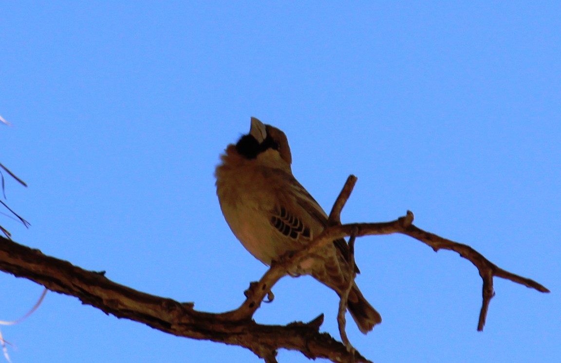
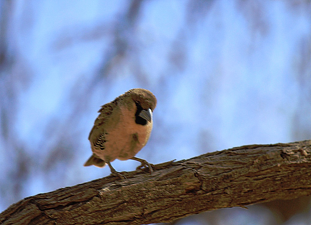
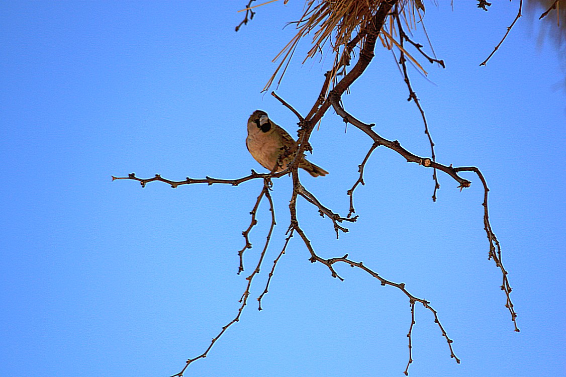
The Ploceidae, or weavers, are small passerine birds related to the finches.
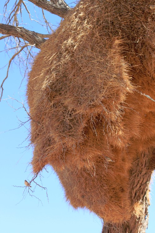
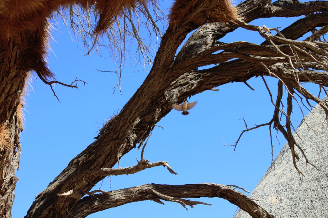
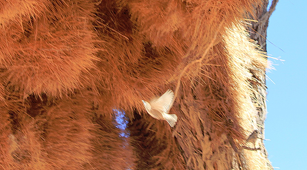
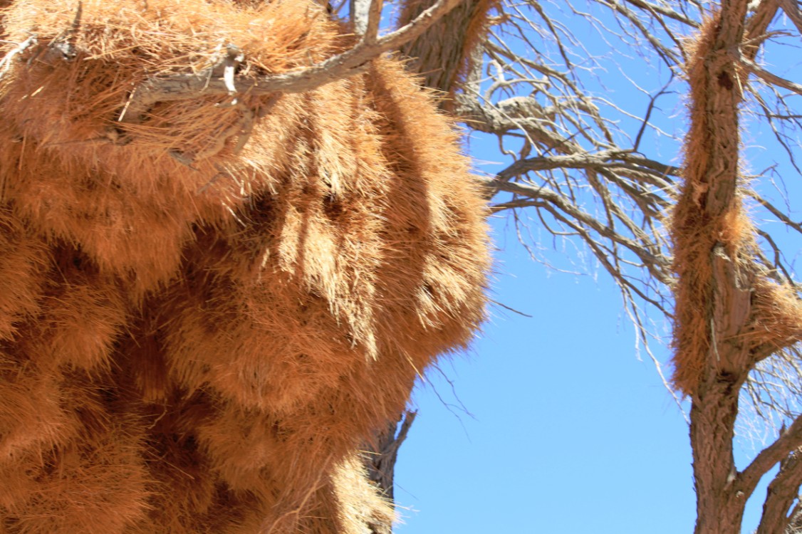
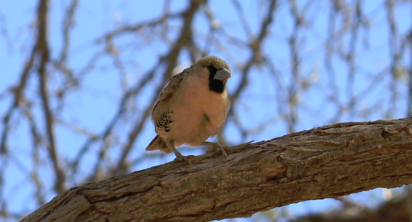
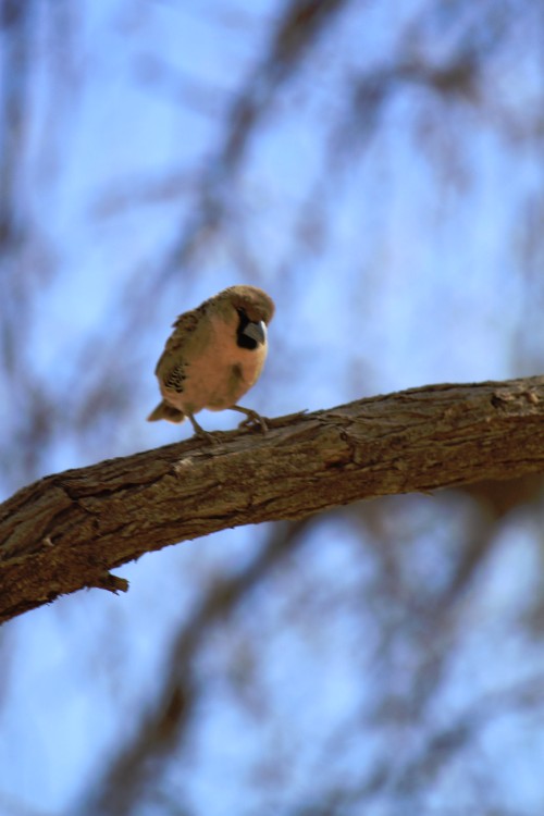
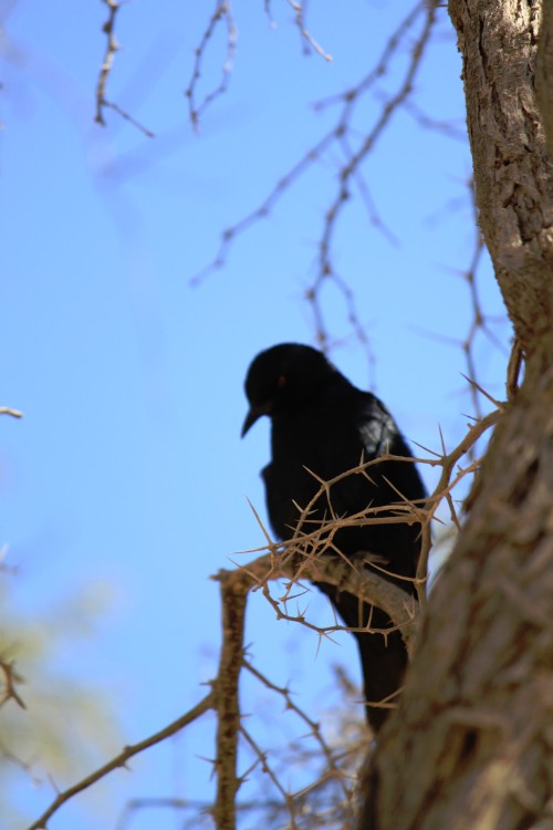
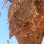
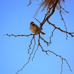
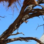
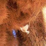
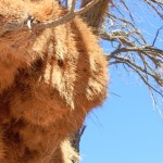
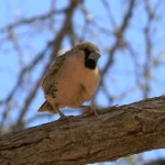
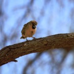
On the road to the Sesriem Canyon (but also some days before – see pics) The wandelgek spotted these huge nests, that almost bend the tree in which they were build under their weight. They were nests of weaver birds. In East Africa, The Wandelgek had seen many nests of weaverbirds, but it apparently those were solitary living couples and these weaverbirds lived in complete colonies… It was still quite dangerous to find a suitable nest to take pictures because empty nests often were colonized by agressive wasps.
Biology
These are seed-eating birds with rounded conical bills, most of which are from Sub-Saharan Africa, with fewer species in tropical Asia. A few species have been introduced outside their native range. The weaver group is divided into the buffalo, sparrow, typical, and widow weavers. The males of many species are brightly coloured, usually in red or yellow and black, some species show variation in colour only in the breeding season.
Weaver birds, also known as weaver finches, get their name because of their elaborately woven nests (the most elaborate of any birds’), though some are notable for their selective parasitic nesting habits. The nests vary in size, shape, material used, and construction techniques from species to species. Materials used for building nests include fine leaf-fibers, grass, and twigs. Many species weave very fine nests using thin strands of leaf fiber, though some, like the buffalo-weavers, form massive untidy stick nests in their colonies, which may have spherical woven nests within. The sparrow weavers of Africa build apartment-house nests, in which 100 to 300 pairs have separate flask-shaped chambers entered by tubes at the bottom. Most species weave nests that have narrow entrances, facing downward.
Many weaver species are gregarious and breed colonially. The birds build their nests together for protection, often several to a branch. Usually the male birds weave the nests and use them as a form of display to lure prospective females. The weaver bird colonies may be found close to water bodies. They sometimes cause crop damage, notably the red-billed quelea, reputed to be the world’s most numerous bird.
Tenebrionid Beetles (Tok Tokkies)
A large variety of Tok Tokkies inhabit Namibia numbering close onto 200 species.
They come in all shapes, sizes and guises. The most common Tok Tokkie found in the dunes is the Fog Basking beetle (Onymacris unguicularis). These beetles including many others have a peculiar way of collecting drinking water from the fog. They can be found doing a headstand in the early morning allowing the fog to condense on their backs and then run down towards the mouthparts where they can then drink up to 40% of their body mass on a given morning. Another strange Tokkie is the button beetle or trench-digging beetle (Lepidochora discoidalis), which digs a fog trench into the side of the dune. Micro droplets of water condense on the side of the trench, which then gets licked up by the beetle. The tenebrionid beetles live on wind blown plant material known as detritus or beetle muesli, which gets blown down the lee side of the dunes, by wind.

