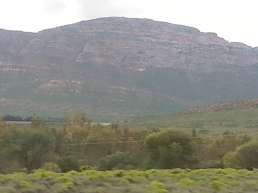
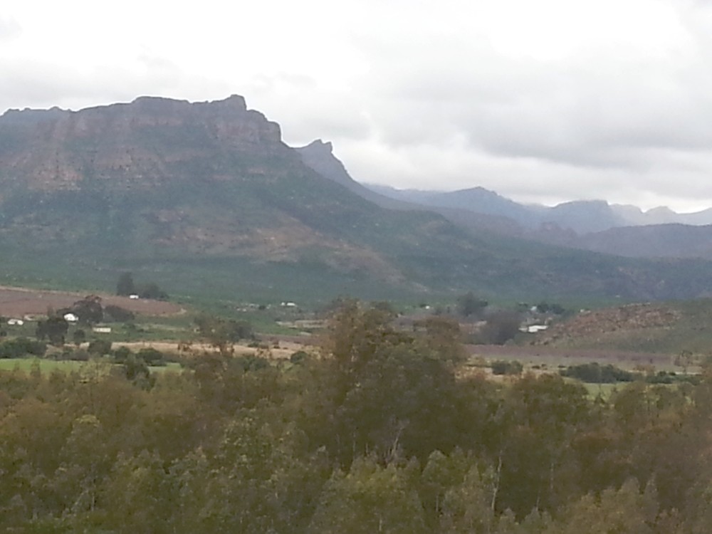
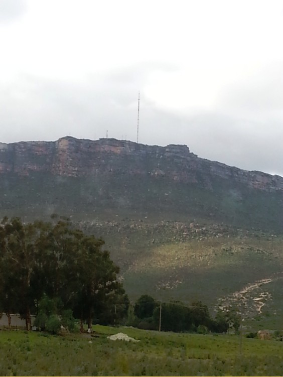
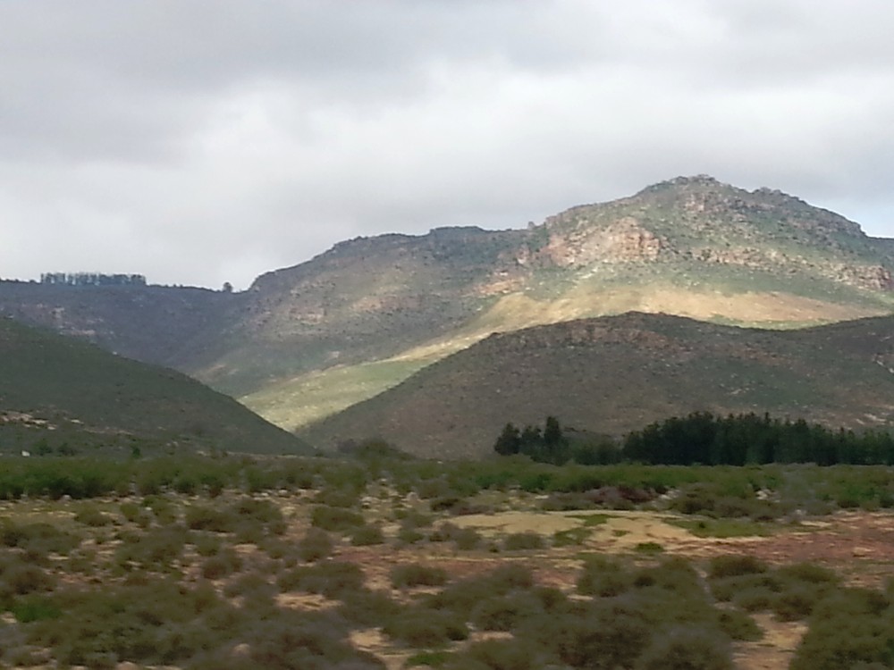
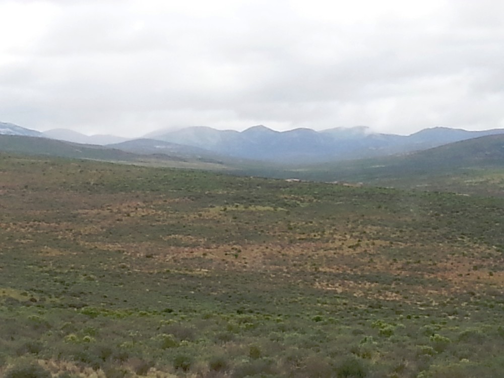
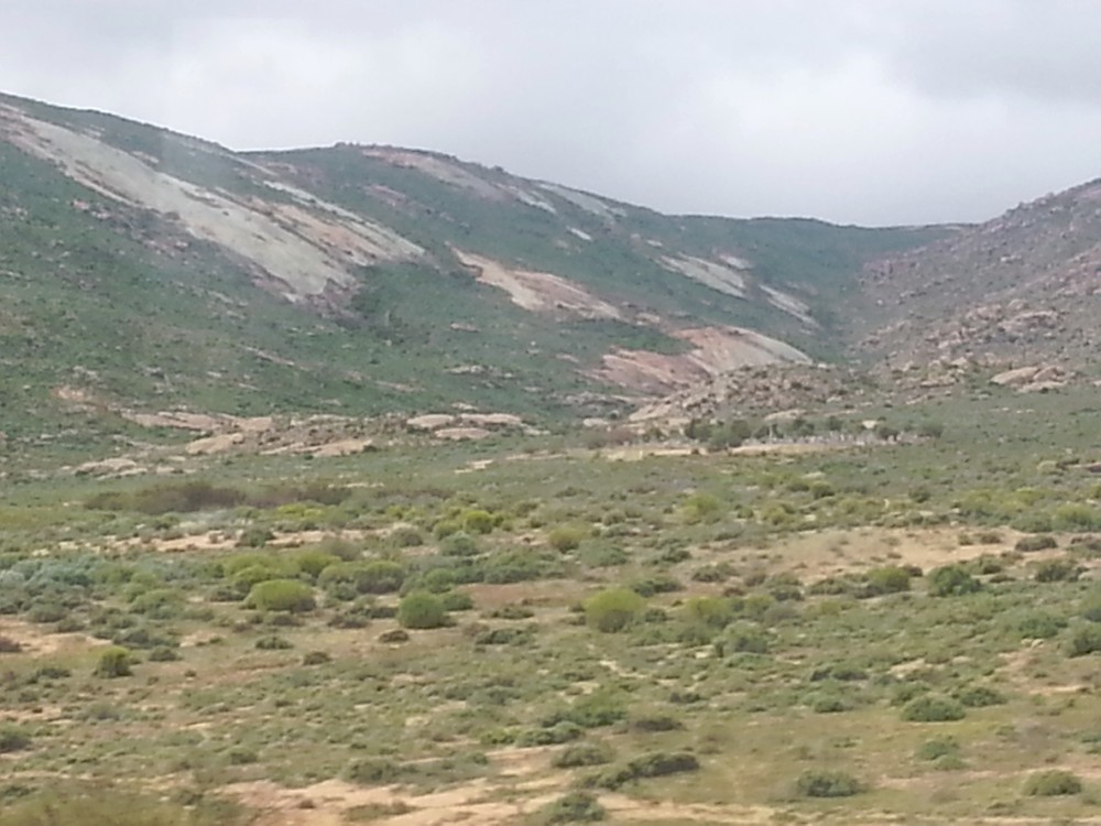
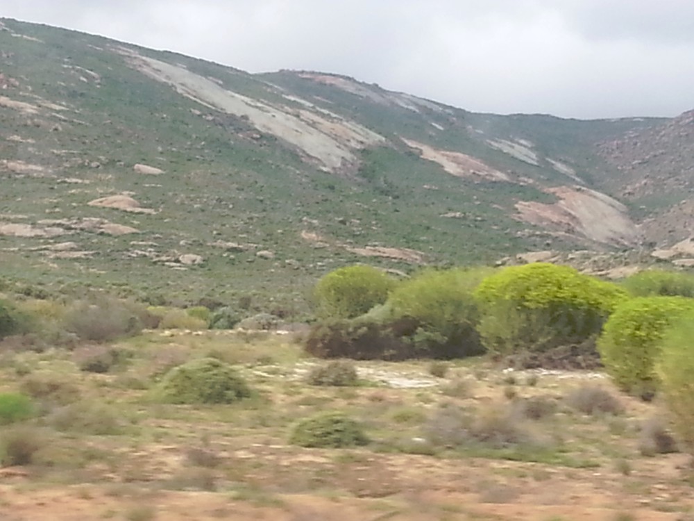
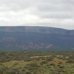
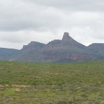
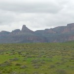
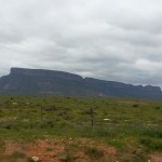
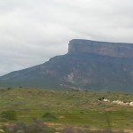
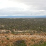
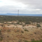
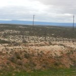
5. South Africa: From Cape Town via Citrusdal and ClanWilliam past the Cederberg Mountains (Cederberg Wilderness) and through Namaqualand (Namaqua National Park) to Springbok and Okiep – 2015
After having spent a few bright and sunny days in Cape Town and its surroundings, The Wandelgek left Cape Town on an early, rainy morning from the Strand Towers Hotel in a northern direction towards the Namibian border. Although Cape Town and surroundings were incredibly beautiful and also a fine environment to strenghten yourself after the long flight from the netherlands via Dubai to South Africa, it was now time to start the great Southern African adventure and for that a huge safari truck build from a huge cargo truck was used, but more about that later.
The first stage of todays ride was to a little town called Springbok in the middle of Namaqualand.

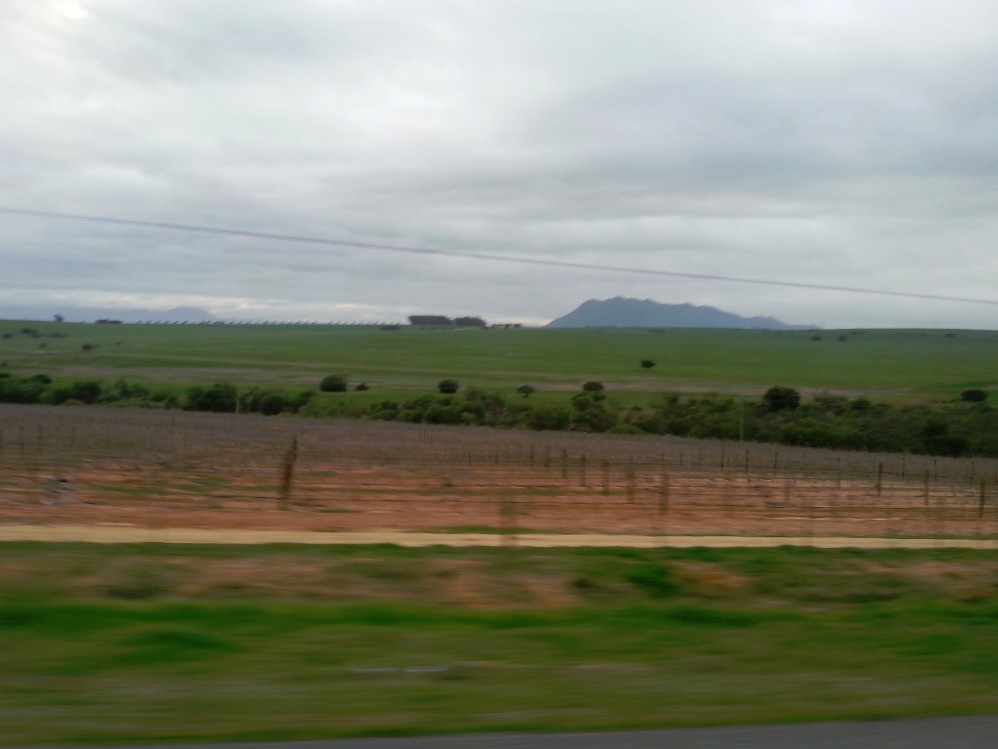
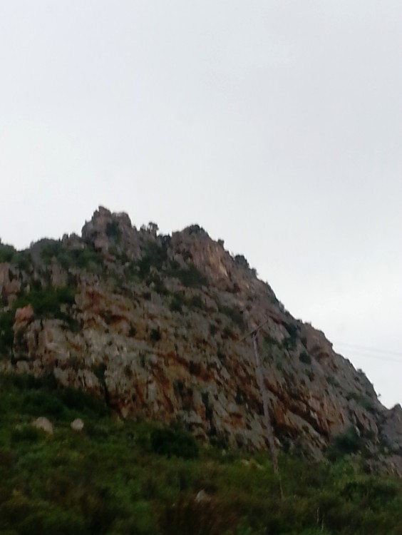
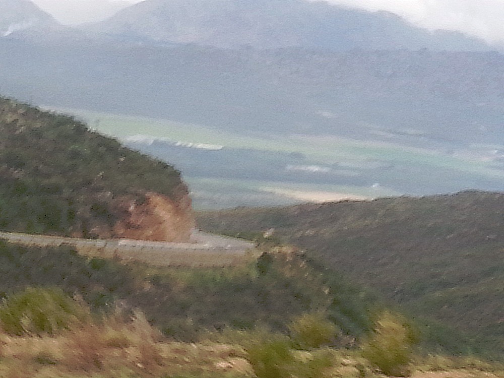
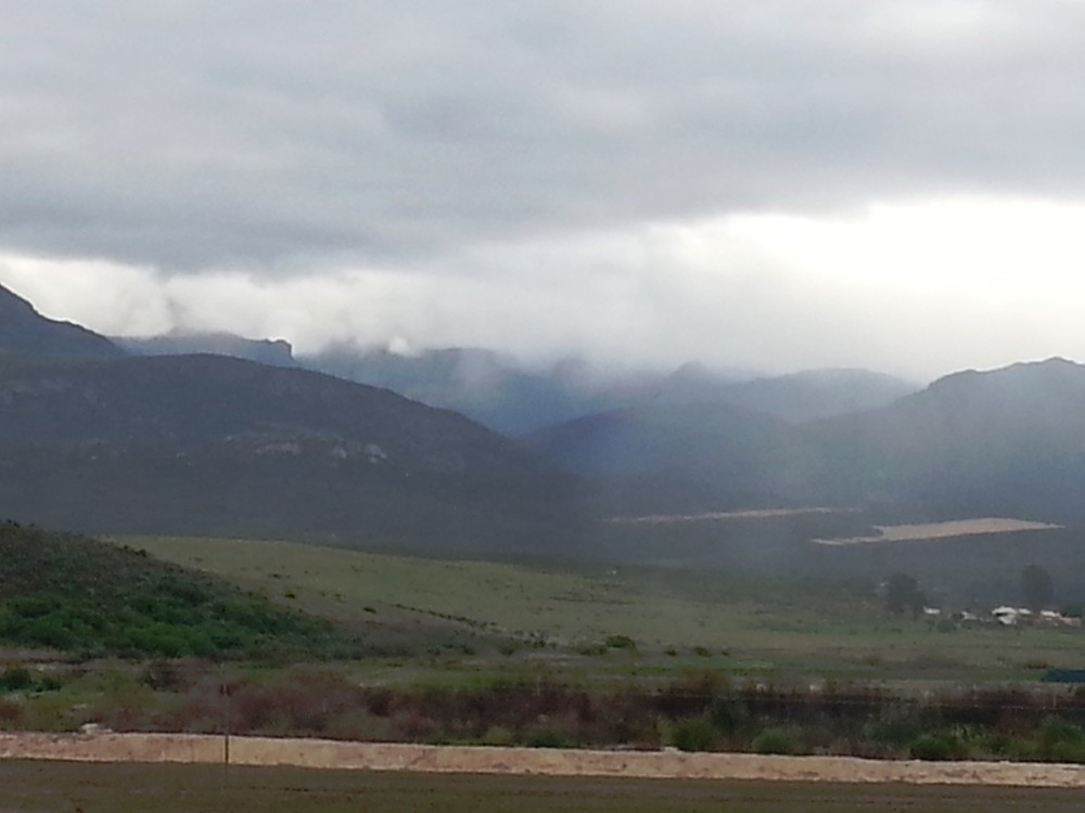
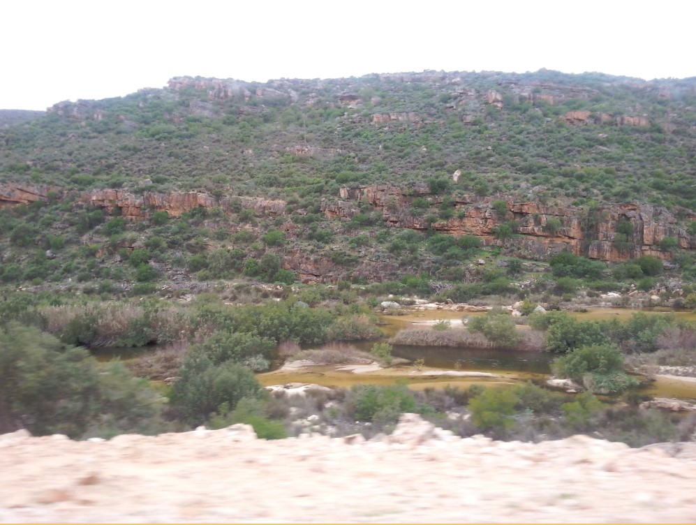
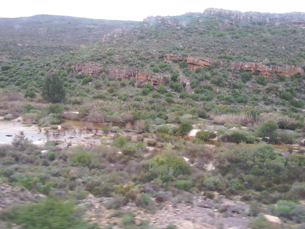
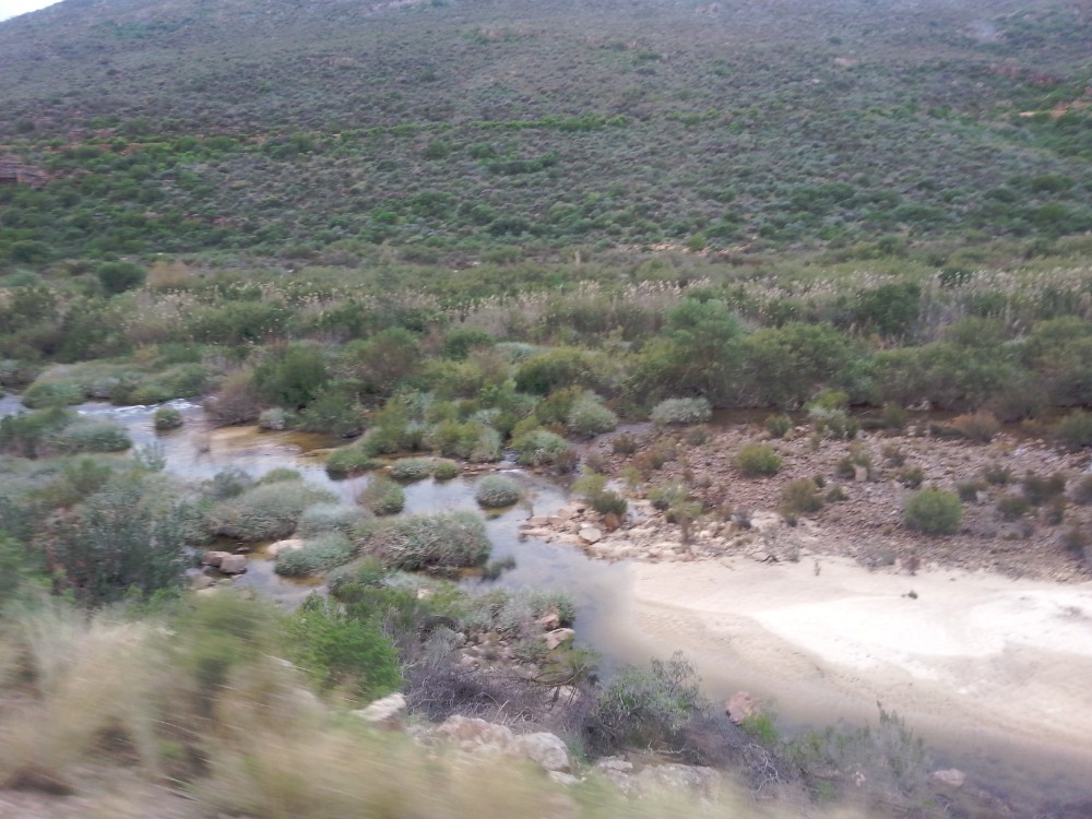
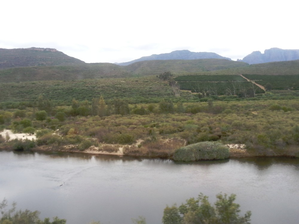
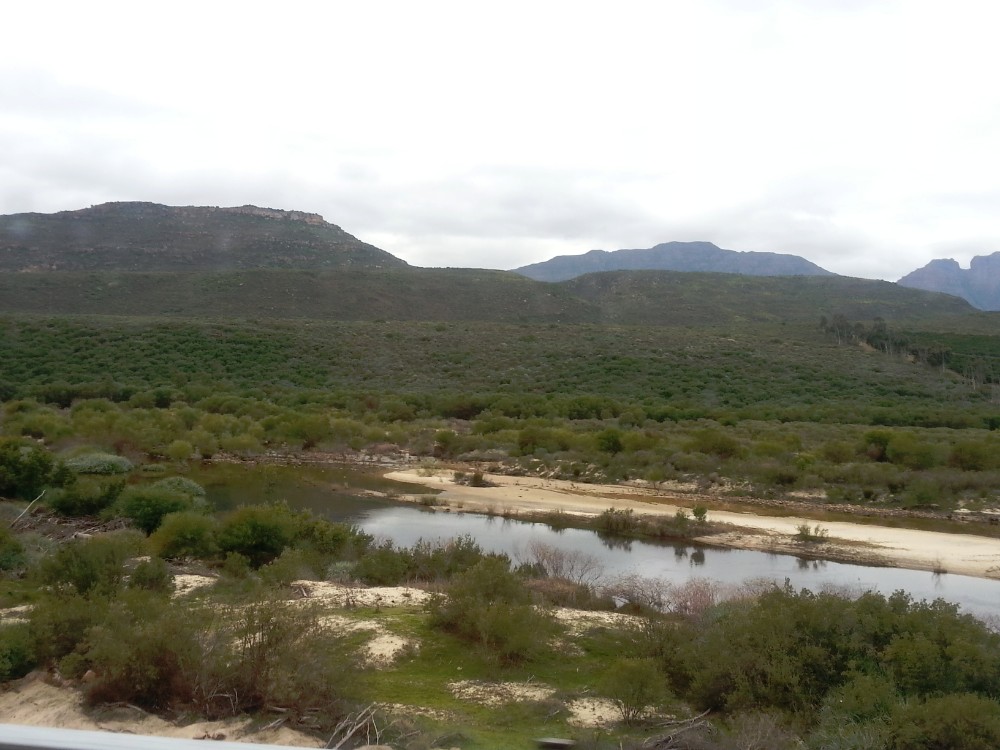
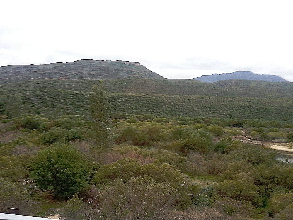
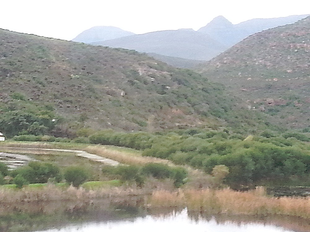
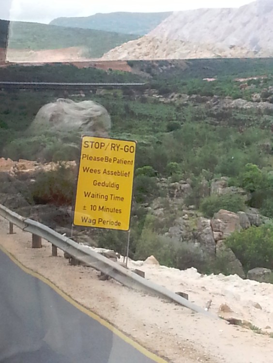
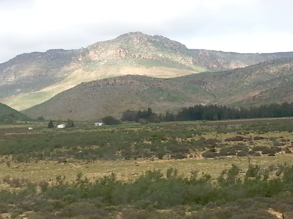
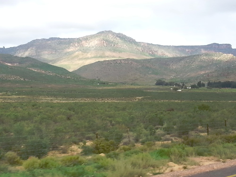
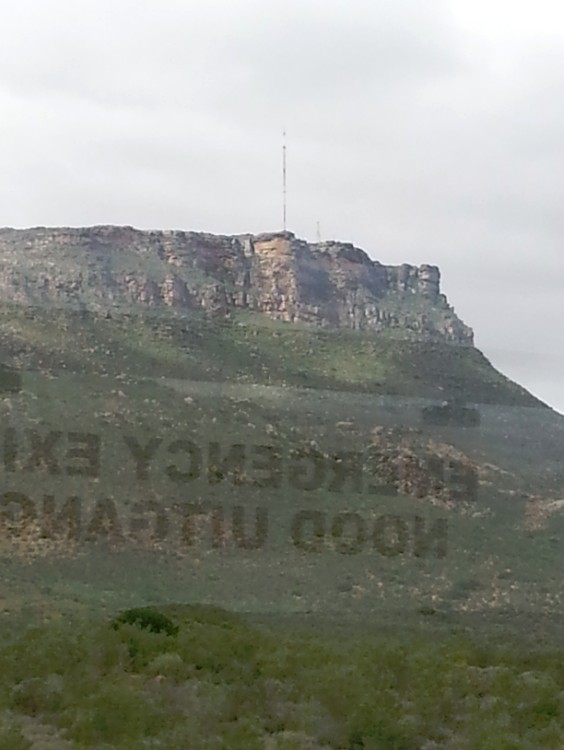
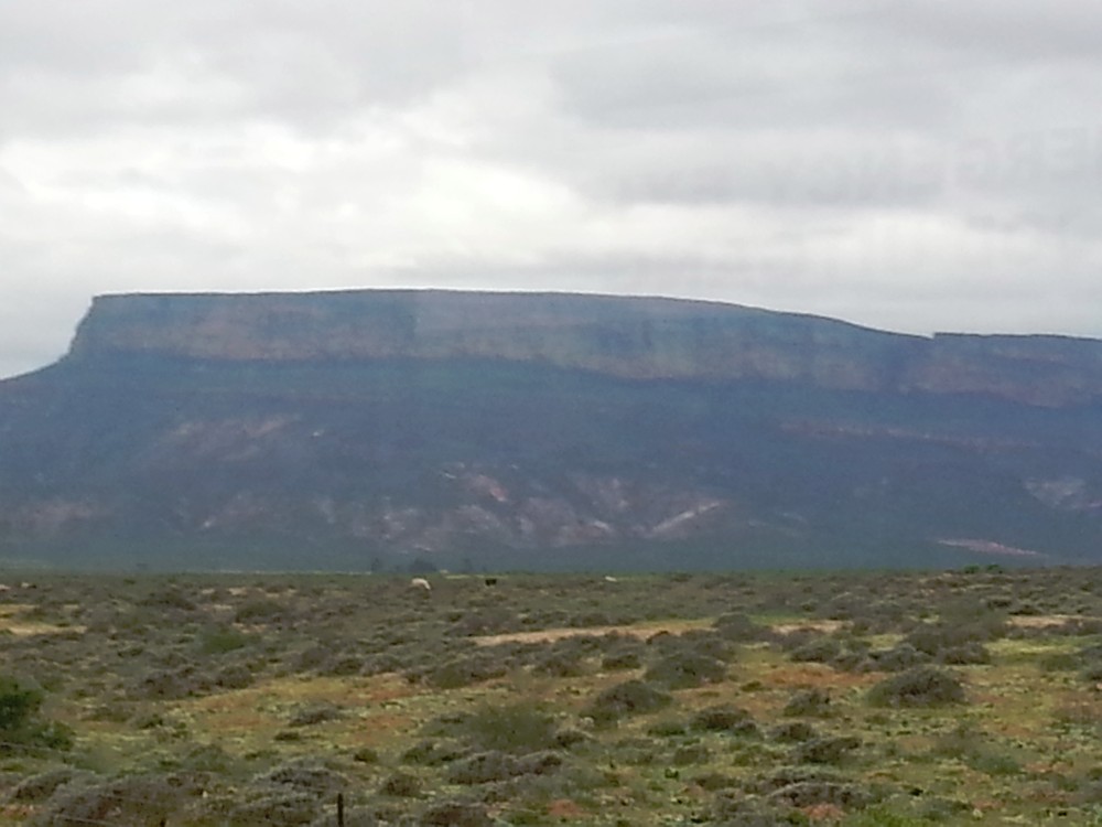
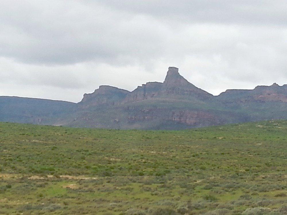
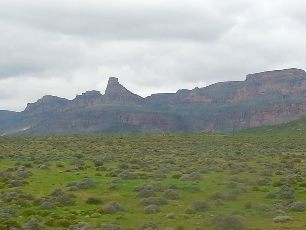
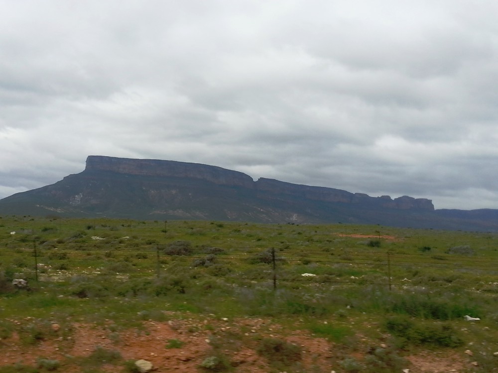
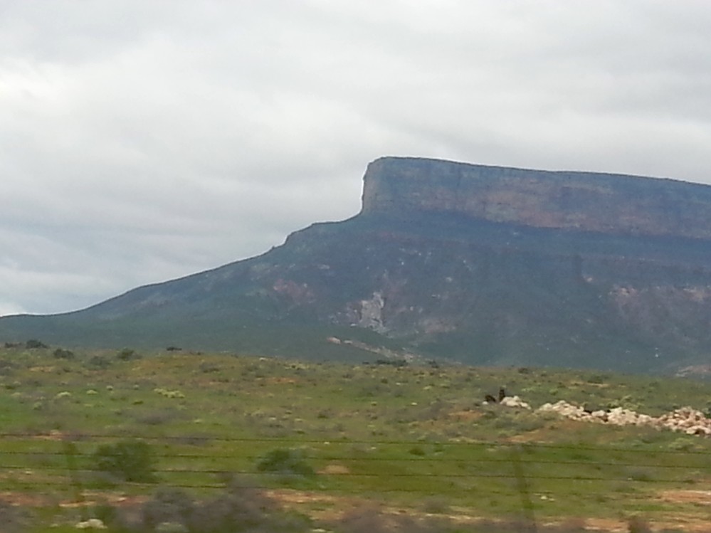
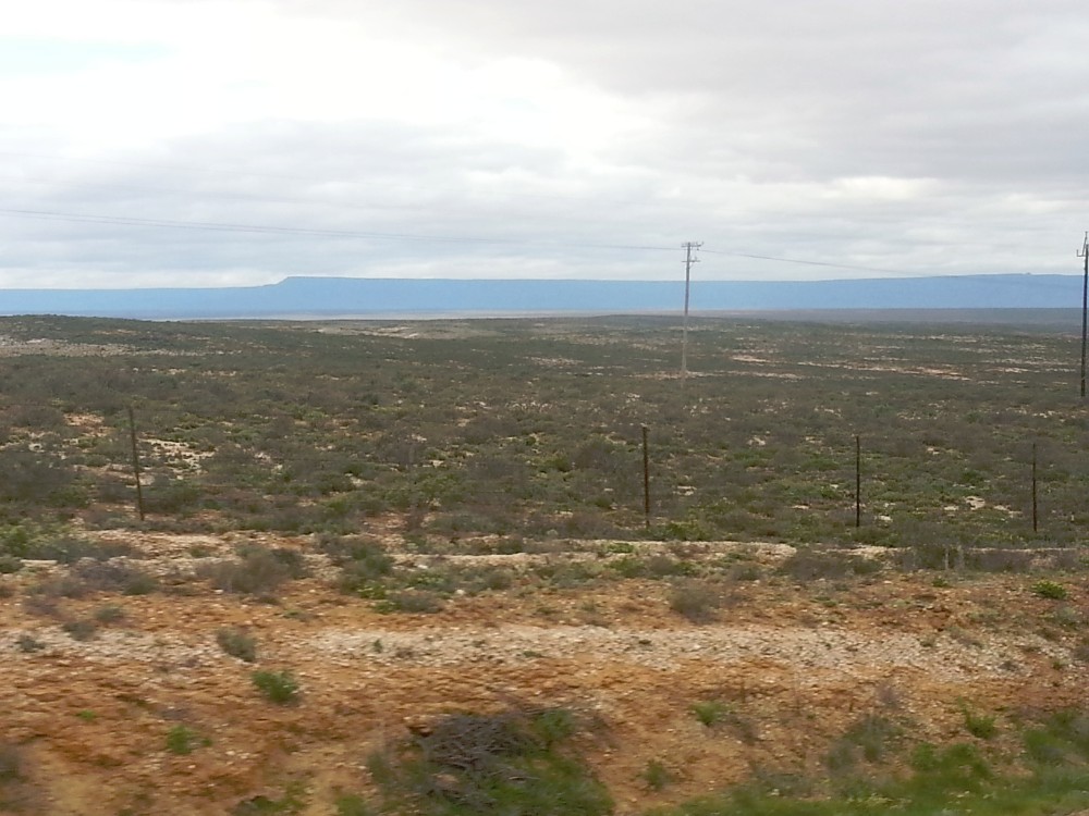
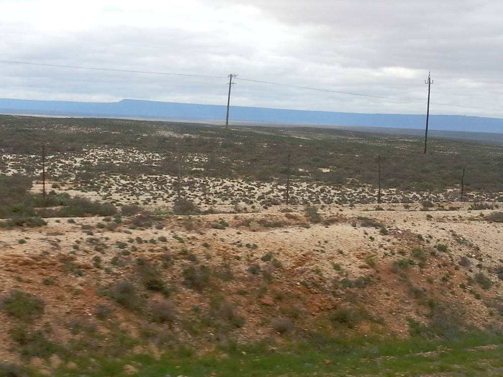
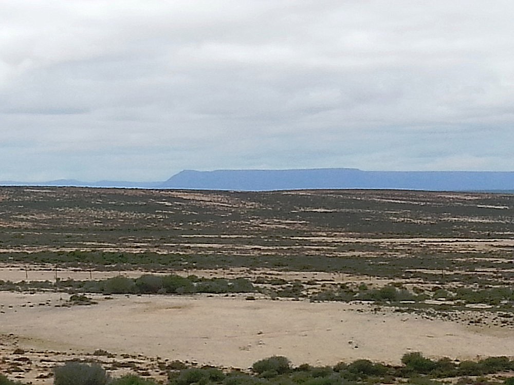
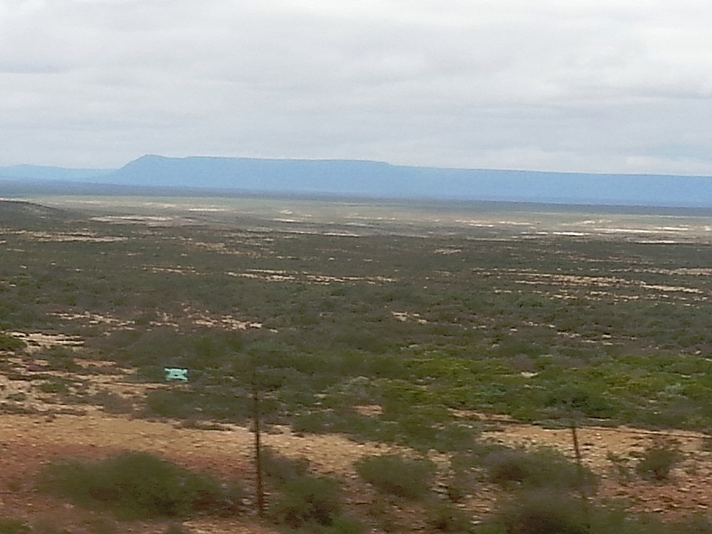
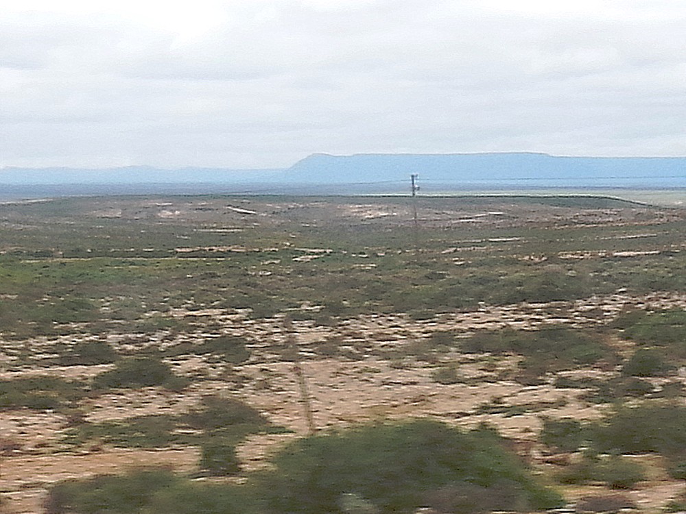
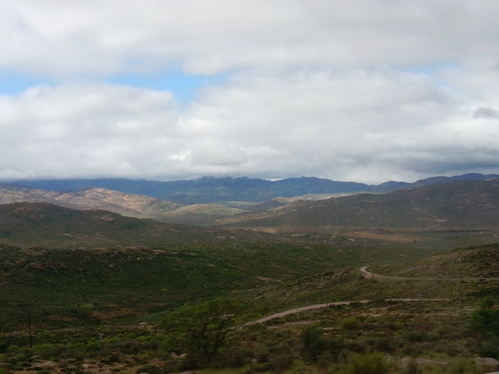
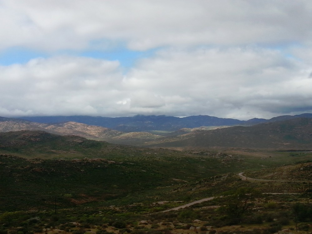
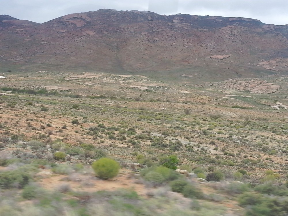
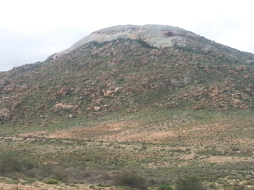
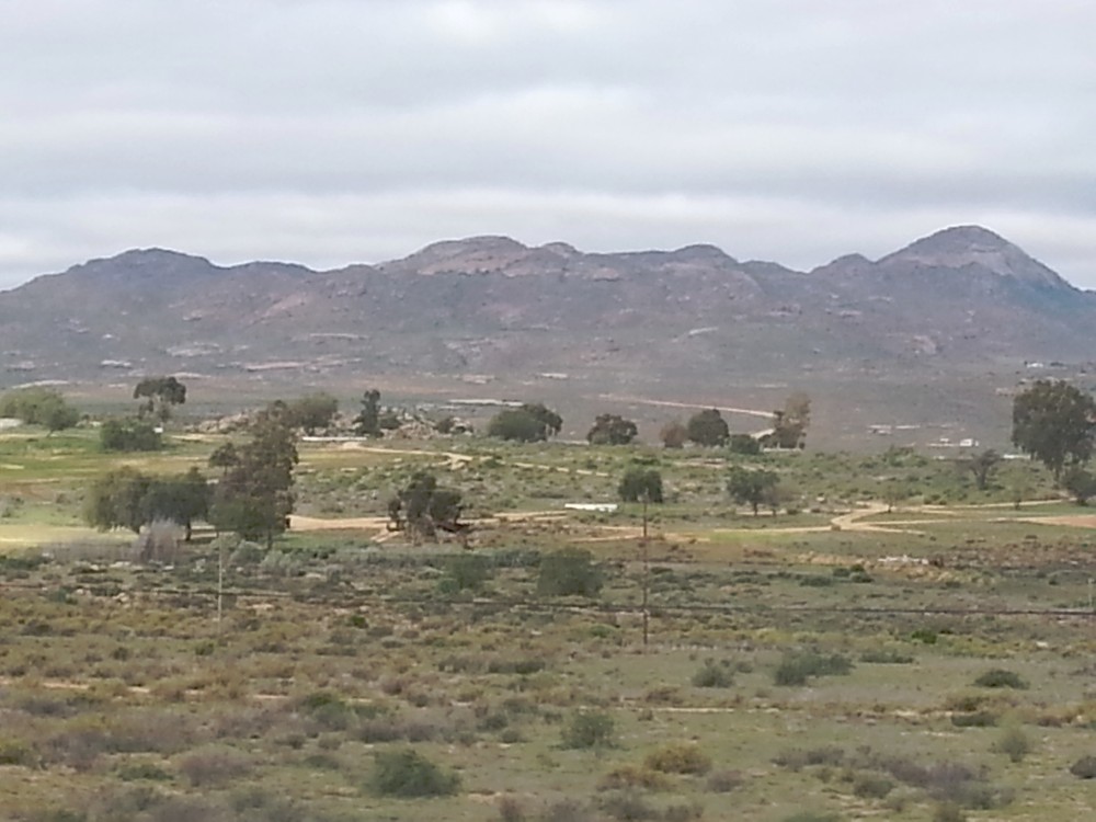
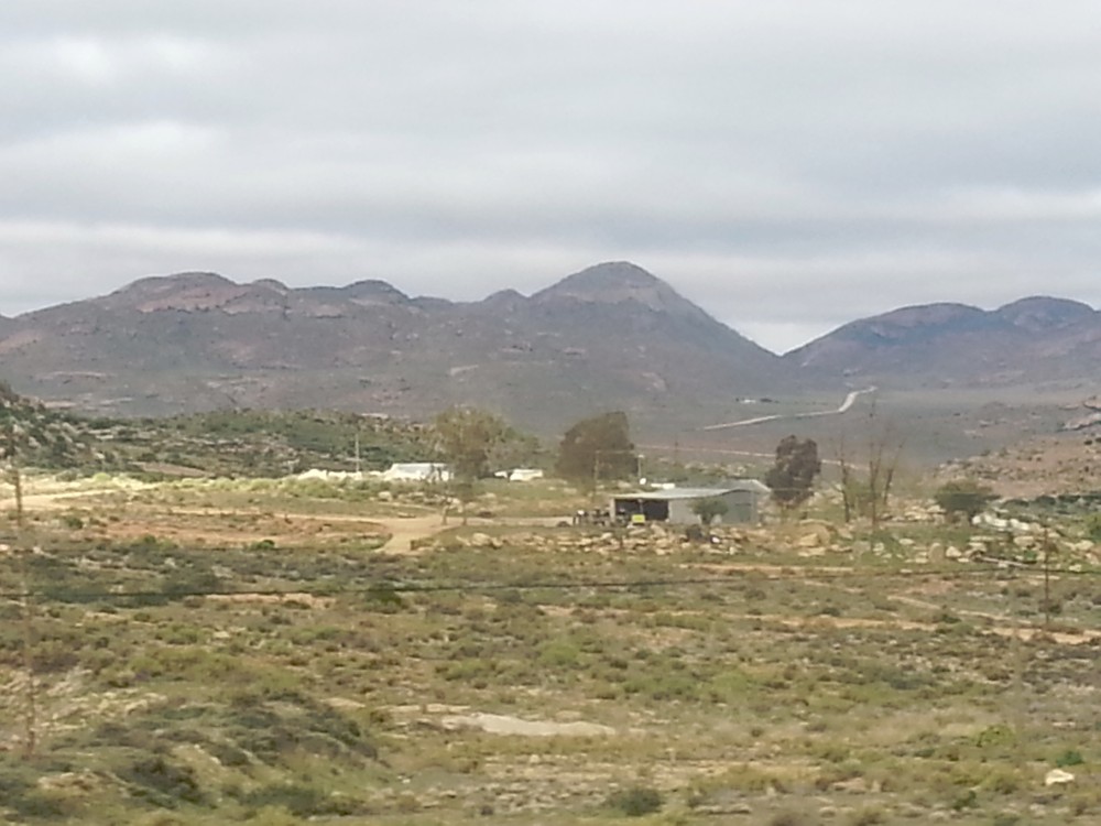
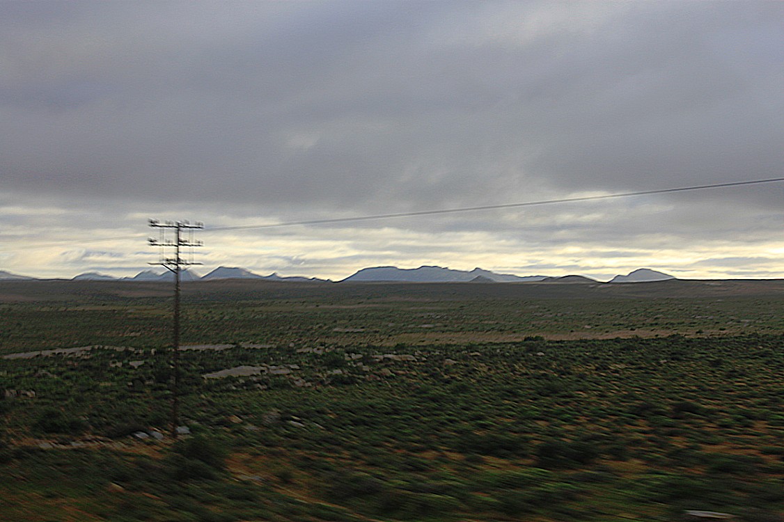
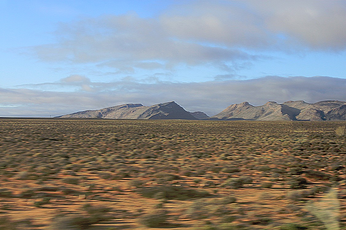
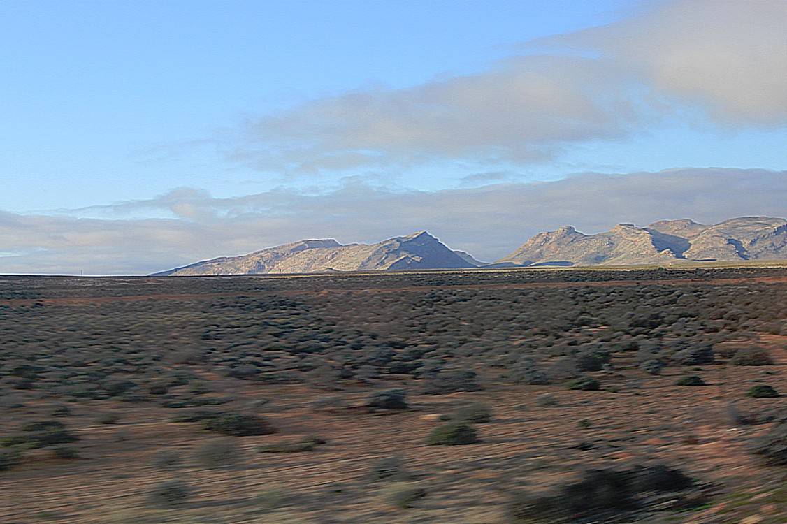
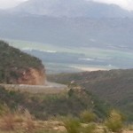
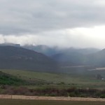
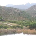
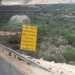
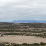
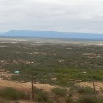
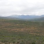
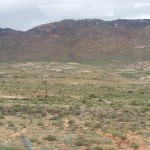
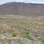
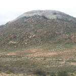
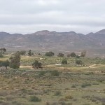
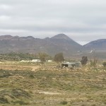
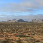
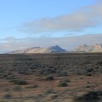
Journey from Cape Town passing the Cederberg mountains, through Namaqualand towards Springbok and Okiep…
First The Wandelgek visited Citrusdal, which is a name of a small village and of a valley where Citrus fruit is grown.
Citrusdal
Citrusdal is a town of 5,000 people in the Olifants River Valley in the Western Cape province of South Africa. It is situated at the base of the Cederberg mountains about 160 kilometres (100 mi) north of Cape Town. Agriculture in the area is dominated by citrus fruit farming, hence the town’s name. Natural hot water springs occur in the area.
History
Citrusdal was established in 1916 by the Nederduits Gereformeerde Kerk to serve the upper Olifants River valley. The church bought a portion of Middelpost farm, on which a township was laid out. A town council was established in 1957.
Demographics
In the 2001 Census the population of Citrusdal was recorded as 5,023 people in 1,401 households. 73% of the residents described themselves as “Coloured”, 21% as “White” and 6% as “Black African”. The dominant language is Afrikaans, spoken as the first language of 95% of the population, while 4% speak isiXhosa and 1% speak English.
The Olifantsrivier finds its way through the citrusdal and the road goes parallel with the river in northern direction.
The road goes also parallel to the Cederbergen until Clanwilliam.
Clanwilliam
Clanwilliam is a town in the Olifants River valley in the Western Cape, South Africa, about 200 kilometres (120 mi) north of Cape Town. It is located in, and the seat of, the Cederberg Local Municipality. As of 2011 Clanwilliam had a population of 7,674.
Clanwilliam is situated at an elevation of 100 metres (330 ft), between the western slopes of the Cederberg mountains and the east bank of the Olifants River, which is impounded there by the Clanwilliam Dam. It is located just off the N7 national road, which runs from Cape Town to the Namibian border, and on the R364 road, which runs from Lamberts Bay to Calvinia. Clanwilliam is 230 kilometres (140 mi) from Cape Town by road.
Clanwilliam is the birthplace of ZP Theart, former lead vocalist, and founding member of the British power metal band DragonForce.
The Dutch Reform Church has been a scheduled national monument since 1973. The mission there used to run a school where Harold Cressy once taught whilst studying to become the first coloured man to gain a degree in Cape Town.
Until The Wandelgek reached the small village of Klawer, the road followed the river. At Klawer a break was held and this meant a visit to the local supermarket where Biltong was sold. Biltong is a mix of droeëge worst and Beef Jerky and The Wandelgek had bought a lot of Biltong in Cape Town for when on the road. The dried meat pieces and meat sticks are salty (which prevents dehydration) and can be stored for a very long time. It’s also quite tasty.
Klawer
Klawer is a settlement in West Coast District Municipality in the Western Cape province of South Africa.
Town 24 km west-south-west of Vanrhynsdorp and 283 km north of Cape Town. From the Afrikaans word for a type of wild clover which grows here after the rains.
After visiting Klawer the journey continued north through places with names like Vanrhijnsdorp and Bitterfontein and crossed the provincial border of West Cape and North Cape towards a small village named Garies.
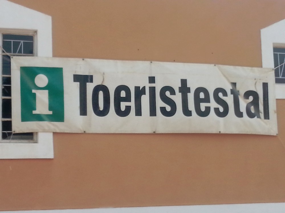
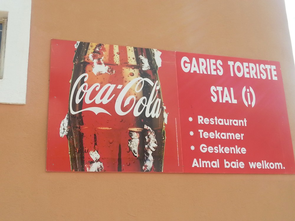
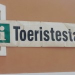
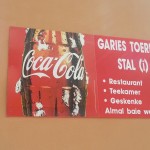
In Garies a small shop was visited bearing the sublime name of “Toeristestal”.
Garies
Garies is a small agricultural centre situated in South Africa’s Northern Cape province about 110 km south of Springbok, the chief town of the Namaqualand district. Current population approximately 1500.
The Letterklip provincial heritage site is situated just west of town.
Town in the Namaqualand district, at the foot of the Kamiesberg, 46 km south of Kamieskroon and 146 km northwest of Vanrhynsdorp. The name is Khoekhoen and means ‘couchgrass’, Afrikaans ‘kweek’.
Namaqualand
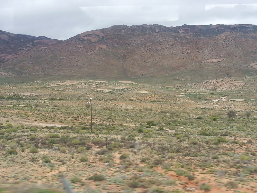
Namaqualand (Afrikaans: Namakwaland) is an arid region of Namibia and South Africa, extending along the west coast over 1,000 kilometres (600 mi) and covering a total area of 440,000 square kilometres (170,000 sq mi). It is divided by the lower course of the Orange River into two portions – Little Namaqualand to the south and Great Namaqualand to the north. Little Namaqualand is within the Namakwa District Municipality and forms part of Northern Cape Province, South Africa. A typical municipality is Kamiesberg Local Municipality. Great Namaqualand is in the Karas Region of Namibia. Great Namaqualand is sparsely populated by the Namaqua, a Khoikhoi people who traditionally inhabited the Namaqualand region.
Some of the more prominent towns in this area are Springbok, being the capital of this region, as well as Kleinzee and Koiingnaas, both private mining towns owned by De Beers Diamond Mines. This area is quite rich in alluvial diamonds deposited along the coast by the Orange River. Oranjemund is another mining town along this coast, situated in Namibia, but very much on the border. As the name suggests, it is at the mouth of the Orange River which forms the border between South Africa and Namibia. The town of Alexander Bay is located 5 kilometres (3.1 mi) away opposite the river on the South African side and is linked to Oranjemund by the Ernest Oppenheimer Bridge. Other links crossing the river further upstream are a reintroduced pontoon at Sendelingsdrift in the Richtersveld National Park, and road bridges at Vioolsdrif (the main border crossing between the two countries) and at the remote border crossing of Onseepkans.
A vibrant fishing industry is found along this stretch of the South African west coast, especially in Port Nolloth, the major resort town of Namaqualand, and Hondeklipbaai, or Dogstonebay, called such because of a large boulder outside the town which, when viewed correctly, looks vaguely like a dog sitting down. Since the 19th century, copper has been mined at Springbok and its surrounding towns, while a large mine extracting copper, lead, zinc, and silver is located at Aggeneys, 110 kilometres (70 mi) further inland.
Namaqualand is quite popular with both local and international tourists during early springtime, when for a short period this normally arid area becomes covered with a kaleidoscope of colour during the flowering season. This is known throughout South Africa as the Namaqualand daisy season, when orange and white daisies, as well as hundreds of other flowering species, spring up from a previously barren landscape. A part of Little Namaqualand, known as the Richtersveld, is a national park and a World Heritage Site, while the often-visited Namaqua National Park and the Goegap Nature Reserve are located short distances from Kamieskroon and Springbok, respectively.
As a region, it has one of the highest percentages of Afrikaans speakers in the world, with over 95% of the population speaking the Afrikaans language. The original Khoekhoe language of the Nama people, with its intricate system of click sounds, also still survives in remote areas.
In a shop there were some flyers which did scare me somewhat, because of the easy, entertaining view on weaponry.
After visiting Garies the journey continued north to a bigger town in Namaqualand, named Springbok and in the local supermarkt, The Wandelgek bought two bottles of excellent red Cape wine.
Springbok
Springbok is the largest town in the Namaqualand area in the Northern Cape province of South Africa. As of 2001 it had a population of 10,294. Springbok is located on the N7 national road which connects the Cape with Namibia, and at the western end of the N14, which connects it with Upington and Pretoria. It is the main town of the Nama Khoi Local Municipality, which also includes a number of surrounding towns such as Okiep and Nababeep.
The town lies at an altitude of 3300 feet (1000 m) in a narrow valley between the high granite domes of the Klein Koperberge (Small Copper Mountains). This name gives away the reason for the early settlement which gradually turned into a major commercial and administrative centre for copper mining operations in the region. Even though mining activities have dwindled, the town remains an important administrative capital in the region and due to its location a favourite stopover for tourists on their way to Namibia. Today the main income is generated from tourism, mining activities, commerce and farming.
The streets lead off from a central little koppie (hill) which now shows off Namaqualand’s strange flora, such as the almost leafless Quiver tree whose branches were used by San people to hold their arrows. This area is famed for the incredible transformation which occurs every spring, when the near-lifeless scrubland explodes into colour from thousands of flowers hidden in the dry dusty earth, brought to life by winter rains. One of the best places to view this phenomenon is at the Goegap Nature Reserve, a short distance south-east of the town. Apart from its spring flowers and various large antelope species, the reserve is also known for its collection of rare drought resistant succulents.
History
The town was founded on the farm Melkboschkuil when the farm was purchased from Kowie Cloete for £750 (£573,000 or ZAR6,705,520 in 2010) in 1852 so as to establish a copper mine. In 1862 the town of Springbokfontein was laid out. The -fontein (fountain) was dropped in later years.
The “Klipkoppie” was used during the Second Boer War as a fort by the Boers under General Manie Maritz as it provided an excellent vantage point across the valley. Remains of stone walls inside the koppie can still be seen today. Next to the “Klipkoppie” and the Springbok Cafe is the beautiful Klipkerk (Stone Church) which was built in 1921.
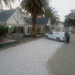
 From Springbok it was only a very few kilometers towards Okiep, where the night was spend at the local Country Hotel.
Okiep
Okiep is a small town in the Northern Cape province of South Africa, and was in the 1870s ranked as having the richest copper mine in the world. The town is on the site of a spring that was known in the Khoekhoe language of the Nama people as U-gieb (large brackish place) and was originally spelled as O’okiep.
History
Early settlers in the Cape Colony heard rumours of mountains in the north-west that were fabulously rich in copper. Governor Simon van der Stel was inclined to believe these tales when, in 1681, a group of Namas visited the Castle in Cape Town and brought along some pure copper. Van der Stel himself led a major expedition in 1685 and reached the fabled mountains on 21 October. Three shafts were sunk and revealed a rich lode of copper ore – the shafts exist to this day. For almost 200 years nothing was done about the discovery, largely because of its remote location. The explorer James Alexander was the first to follow up on van der Stel’s discovery. In 1852 he examined the old shafts, discovered some other copper outcrops and started mining operations. Prospectors, miners and speculators rushed to the area, but many companies collapsed when the logistical difficulties became apparent.
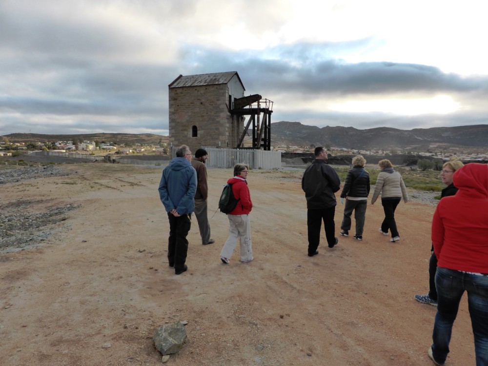
The first miners were Cornish, and brought with them the expertise of centuries of tin-mining in Cornwall. The ruins of the buildings they constructed as well as the stonework of the bridges and culverts of the railway built to transport the ore to Port Nolloth, can still be seen. The Namaqualand Railway started operating in 1876 and lasted for 68 years, carrying ore to Port Nolloth and returning with equipment and provisions. The carriages were initially pulled by mules and horses, which were later replaced by steam locomotives – the last of these, the Clara, stands at Nababeep. Nowadays road transport is used to convey the ore to the railhead at Bitterfontein. The other principal mines of the area are at Carolusberg and Nababeep.
Okiep’s mine saw action on 4 April 1902 during the Anglo-Boer war when some 700 officers and men of the 3rd Battalion Queen’s Royal Regiment, 5th Royal Warwickshire Regiment, Namaqualand Border Scouts, the Town Guard and the Cape Garrison Artillery, withstood a 30-day siege by Jan Smuts’ forces. The village of Concordia with a garrison of 100 men, surrendered a day after the siege started. On 4 May 1902 a British relief column arrived from Port Nolloth and ended the siege. A ruined blockhouse is still visible on a hill north-east of the town.
As with most metals copper suffered mixed fortunes, and in the early 20th century the copper price dropped below the profitable level, so that mining operations ceased, but were resumed when prices rose.
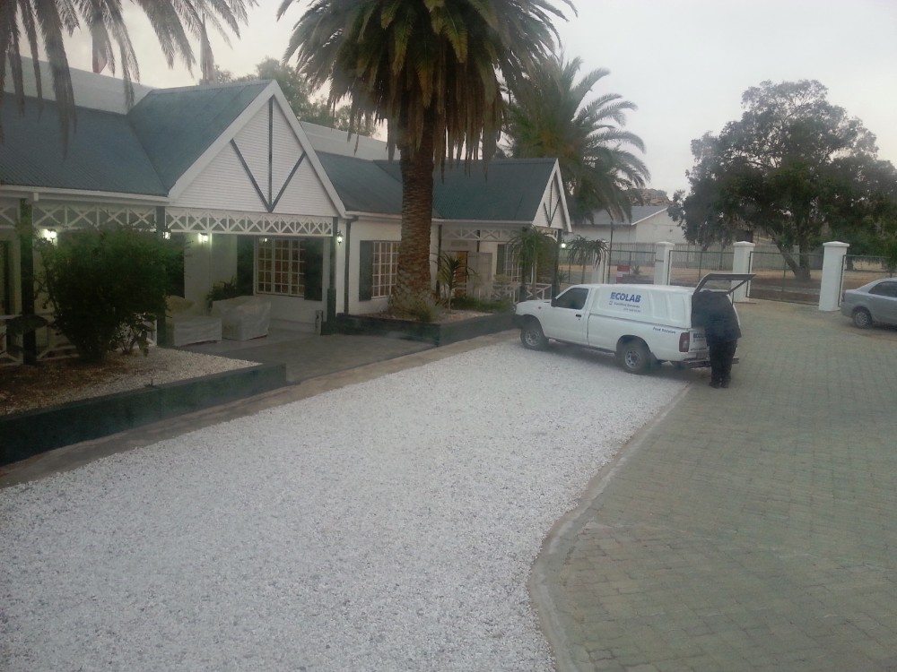
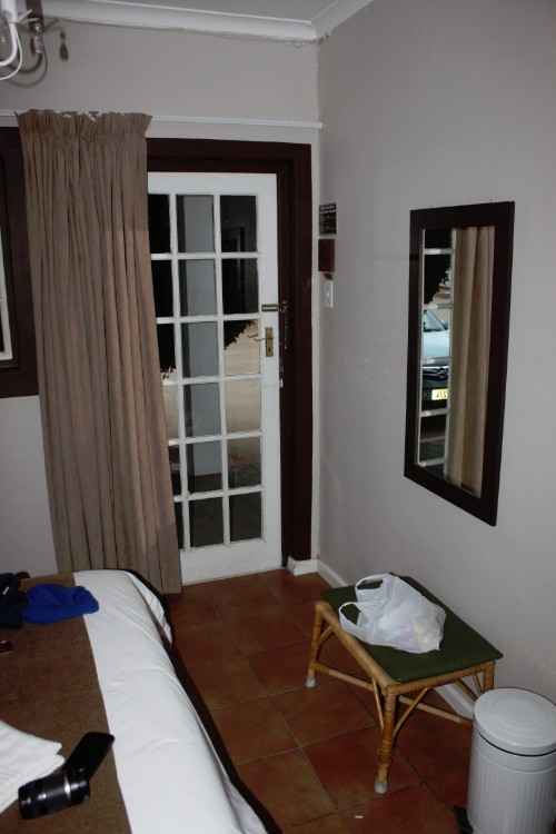
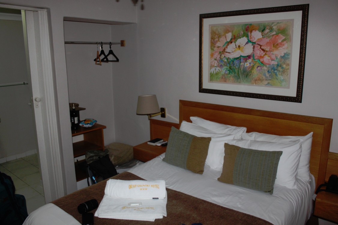
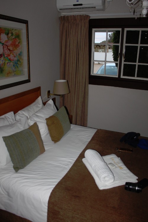
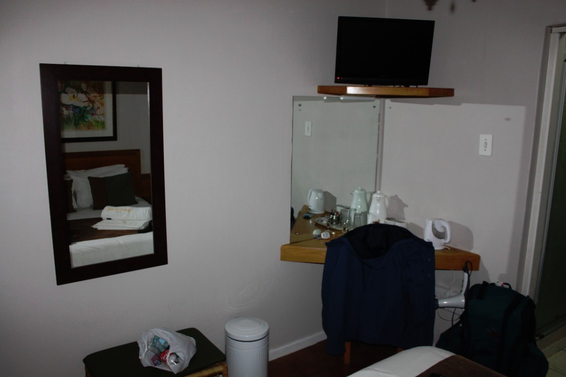
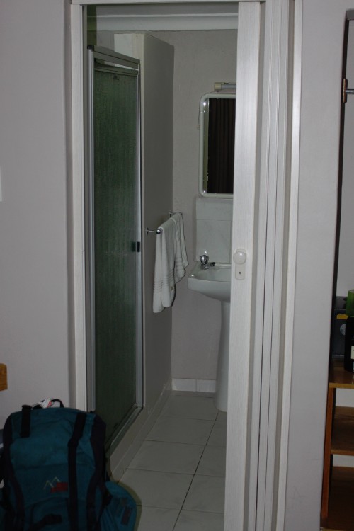
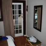
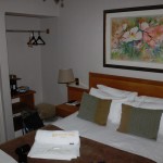
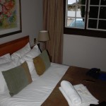
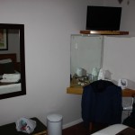
The room was very nice:
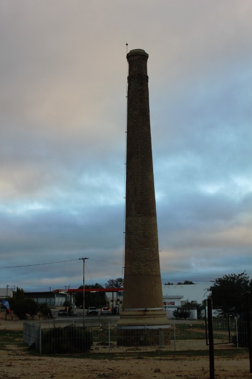
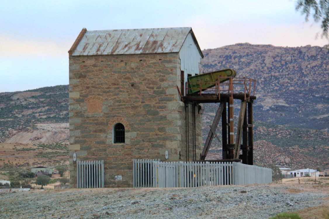
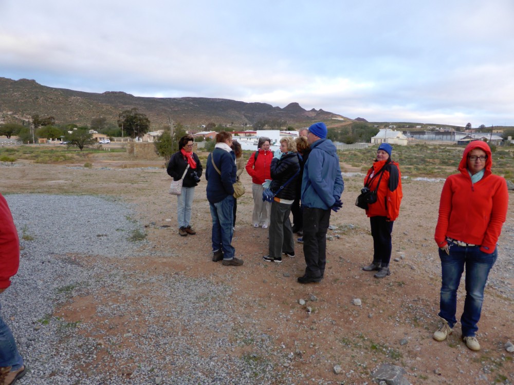
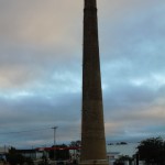
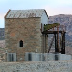
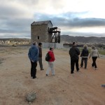
After getting rid of the luggage ad freshening up a bit, The Wandelgek and the owner of the Country Hotel walked towards a few remnants of an old coppermine in Okiep. There was a high chimney and the only jaknikker from the southern hemisphere. A short visit inside of the building of the jaknikker was also allowed.


