3a. South Africa – Cape Town: The Cape peninsula – Hout Bay, Duiker Island, Chapman’s Drive
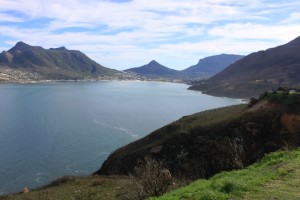
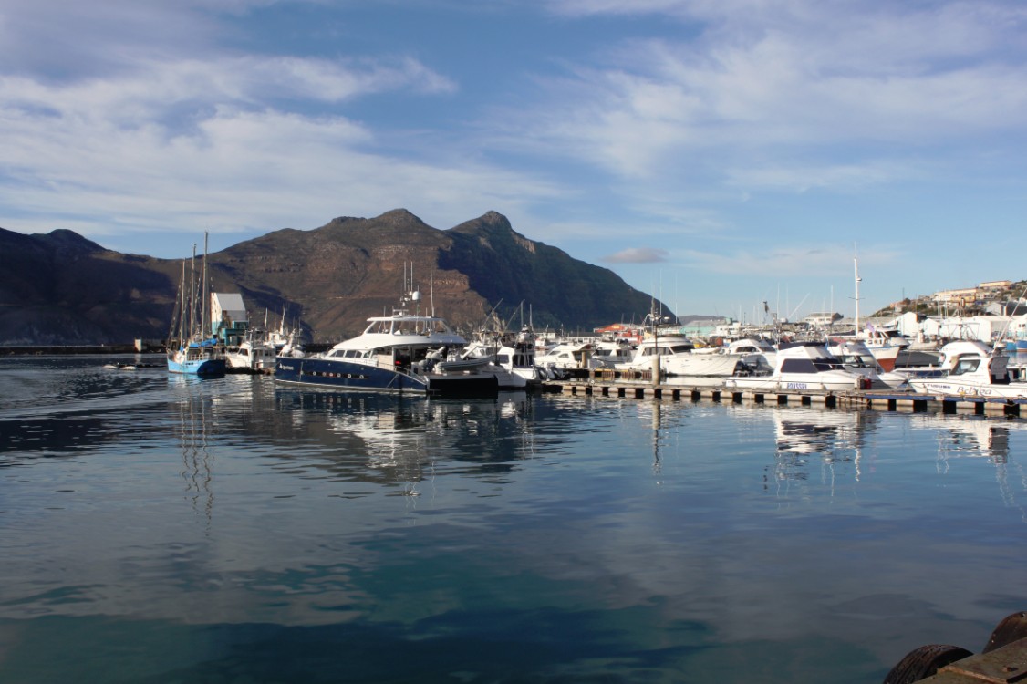
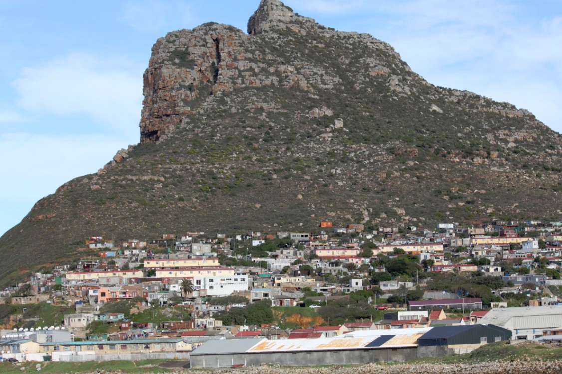
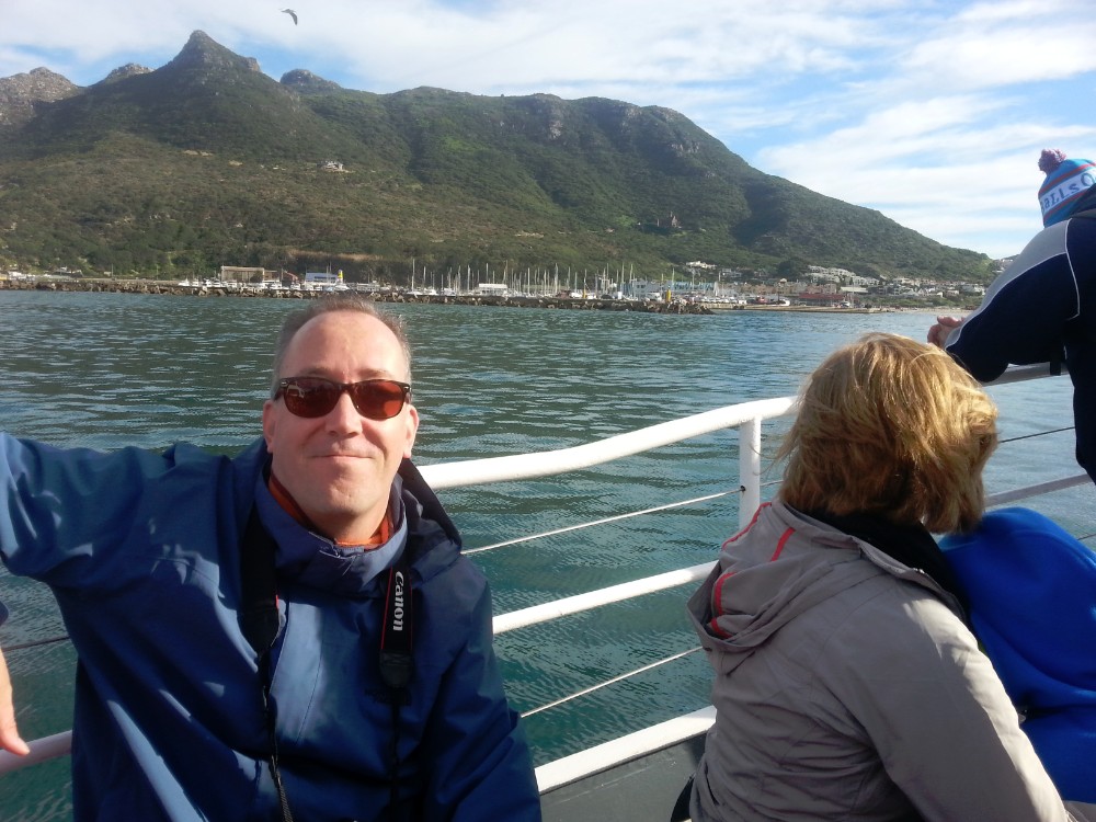
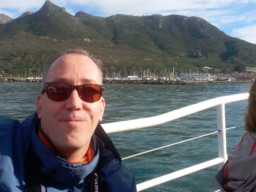
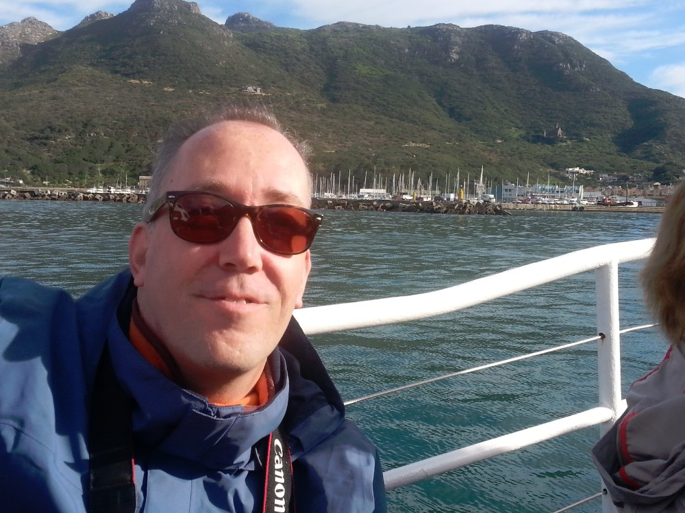
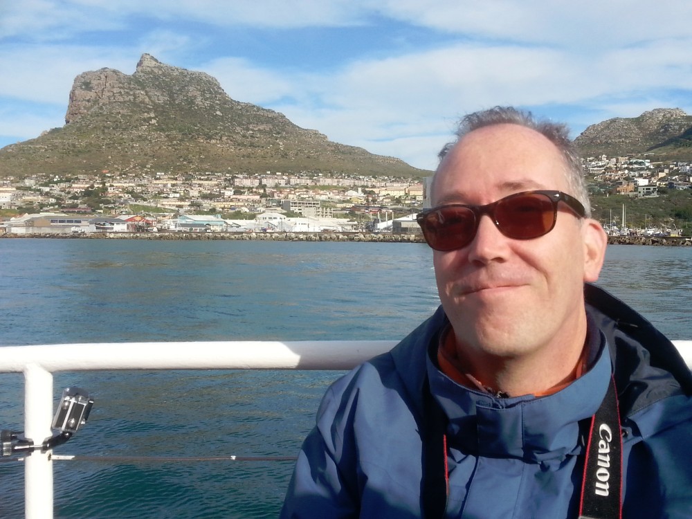
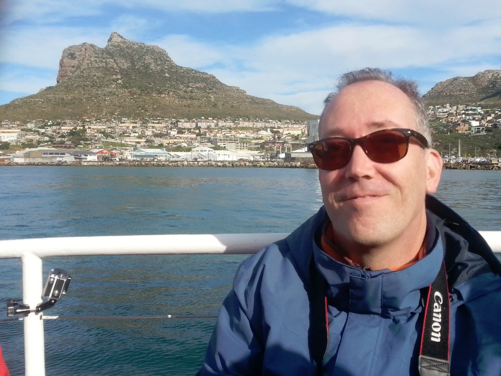
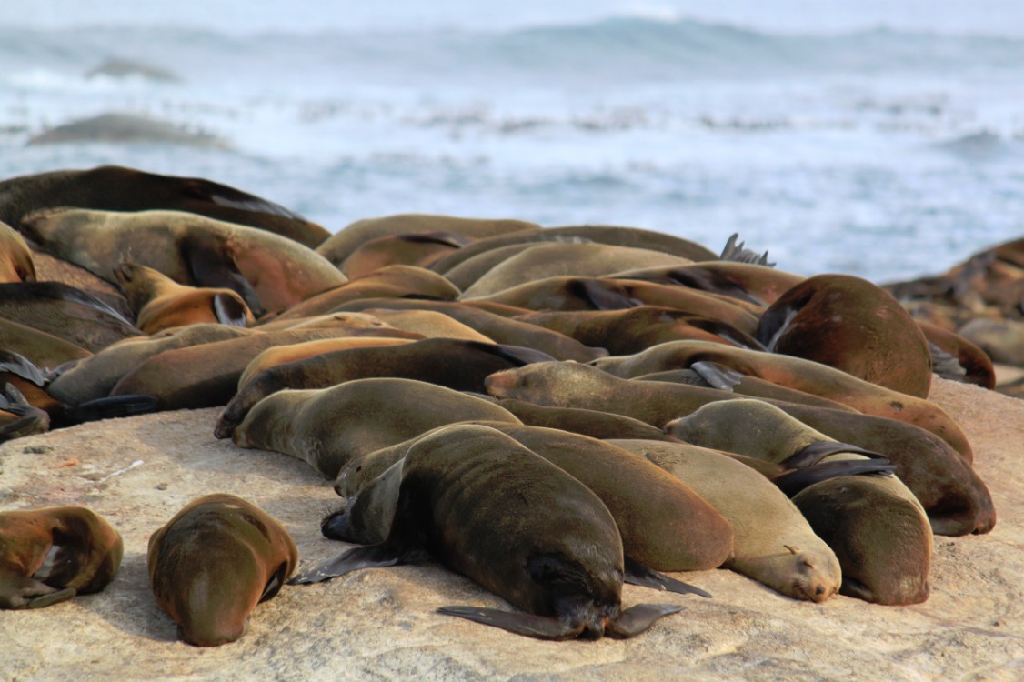
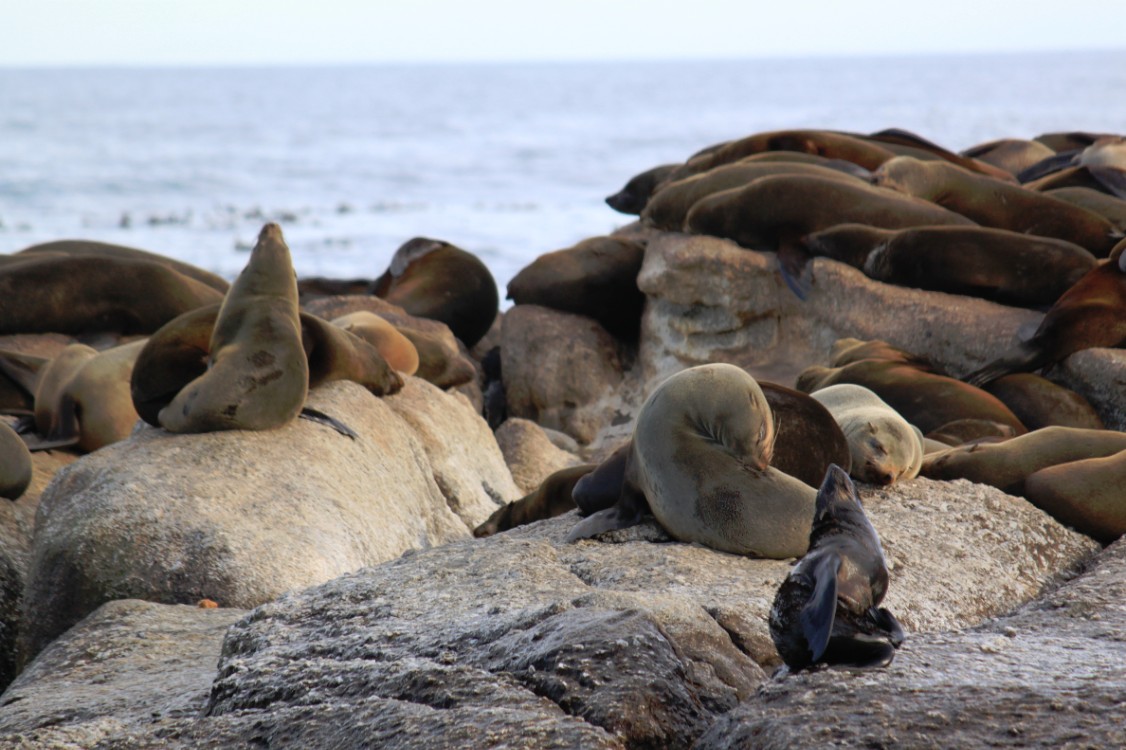
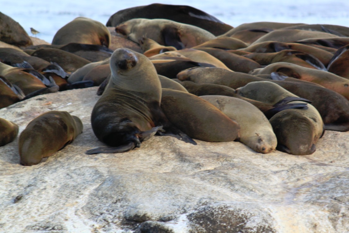
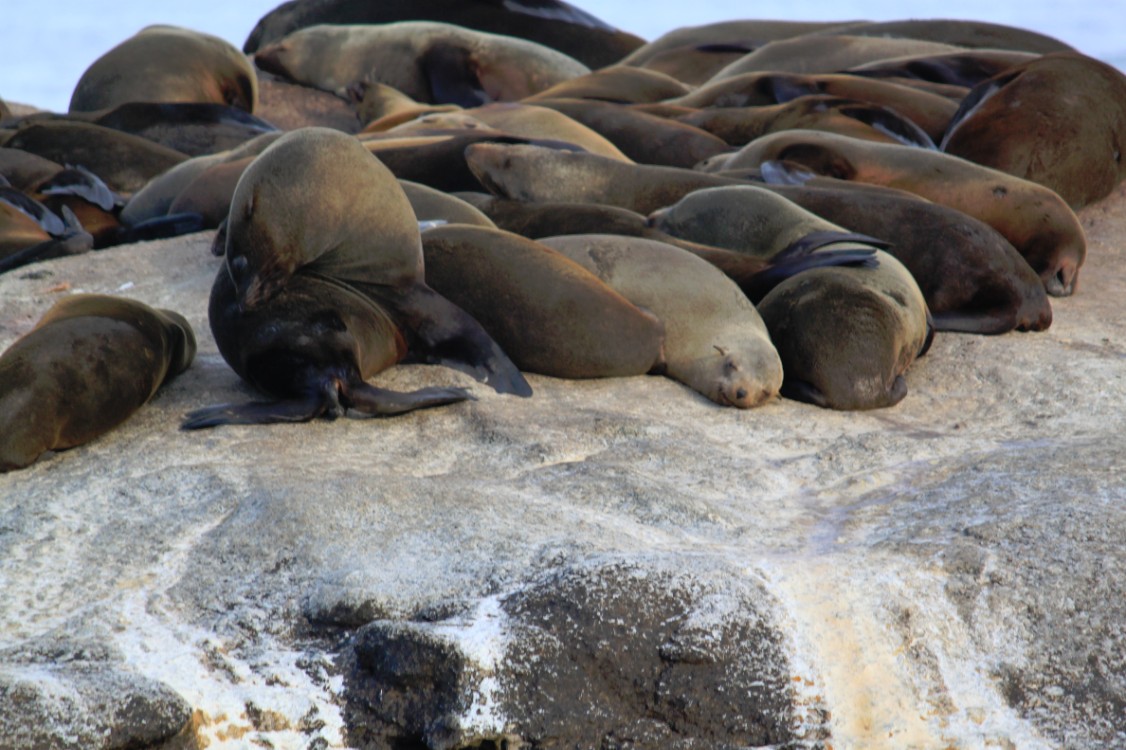
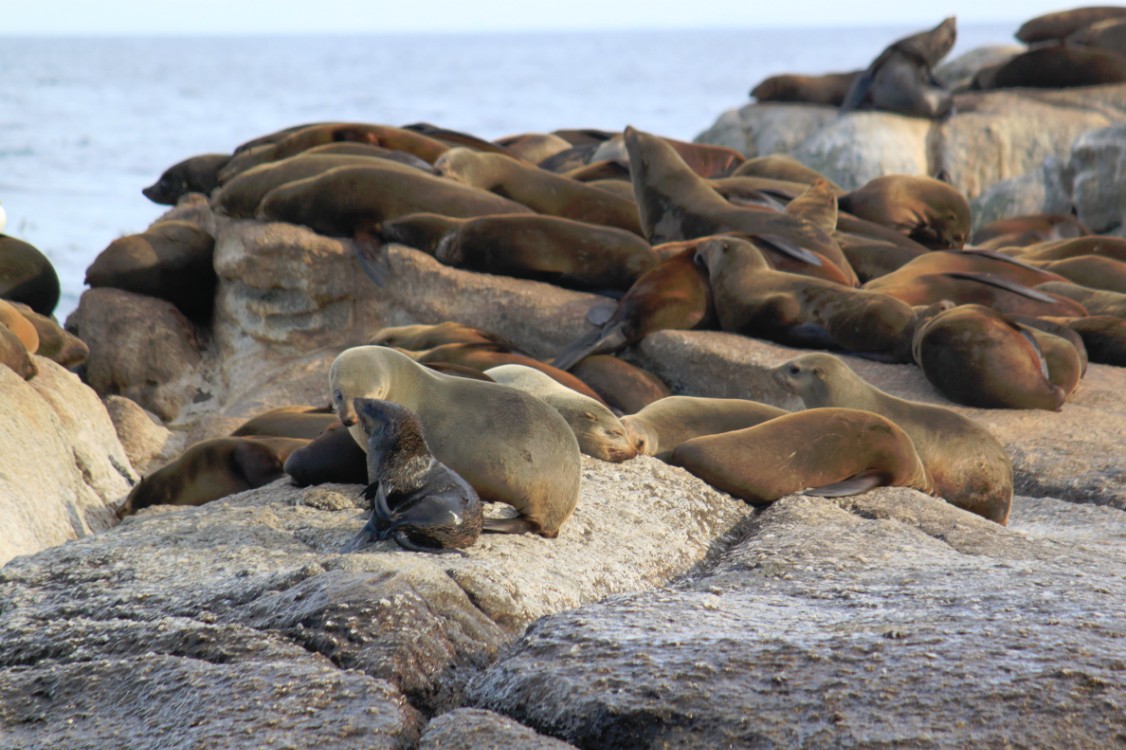
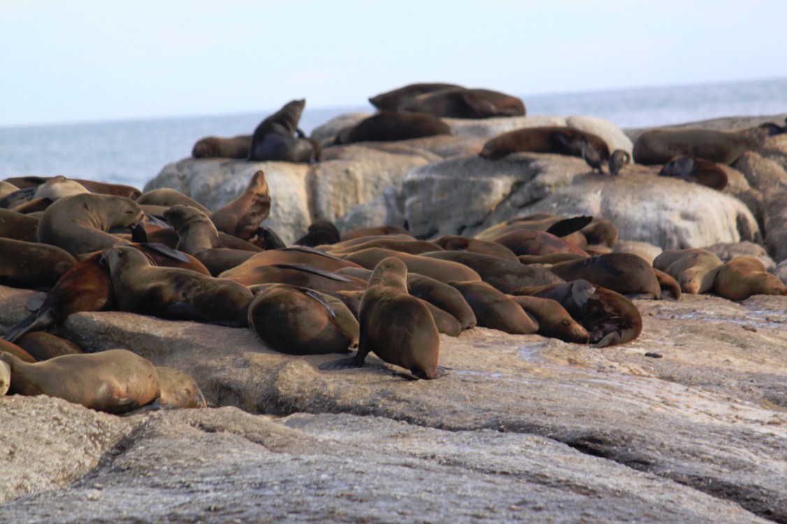
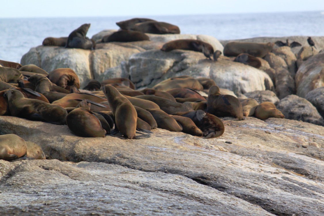
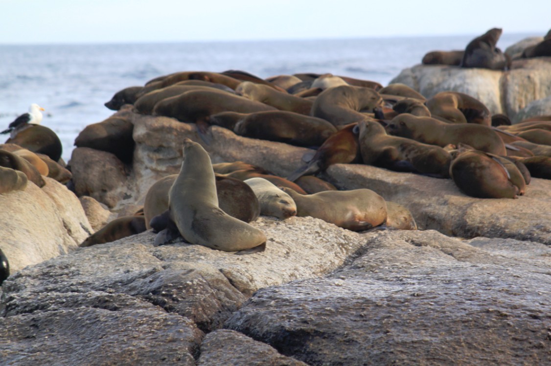
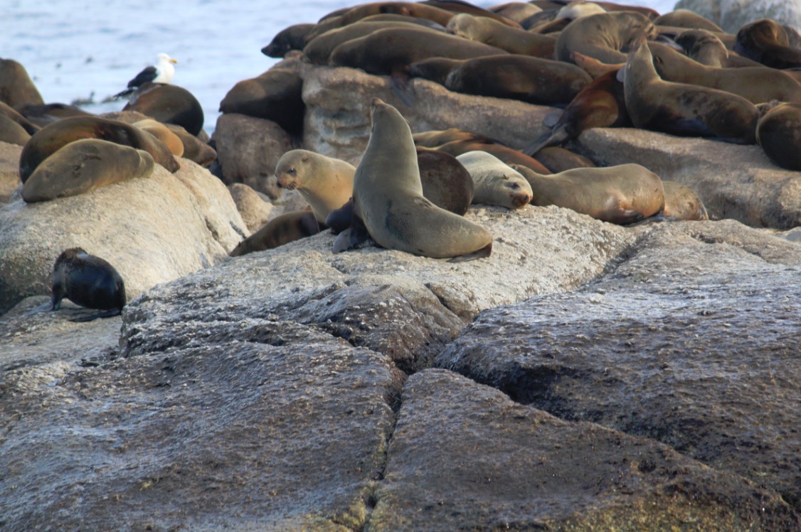
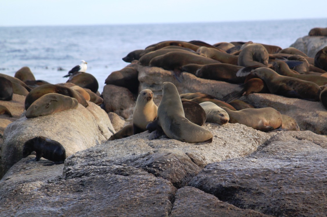
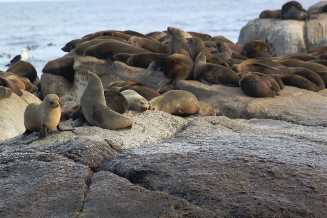
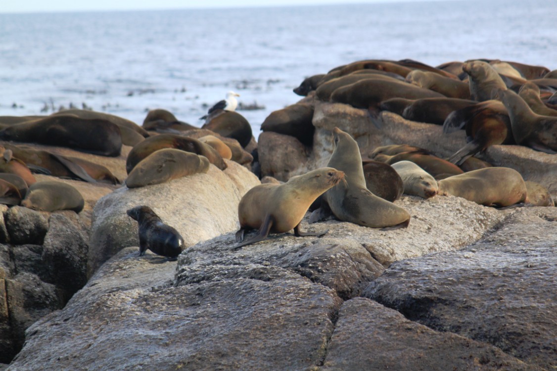
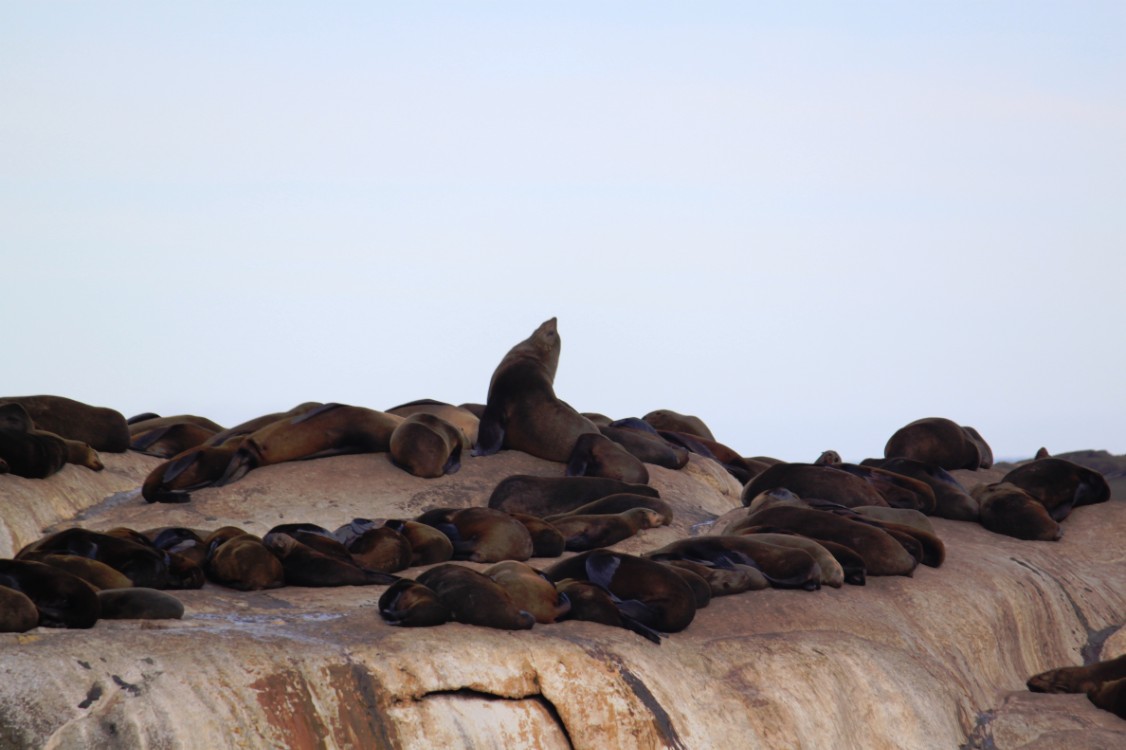
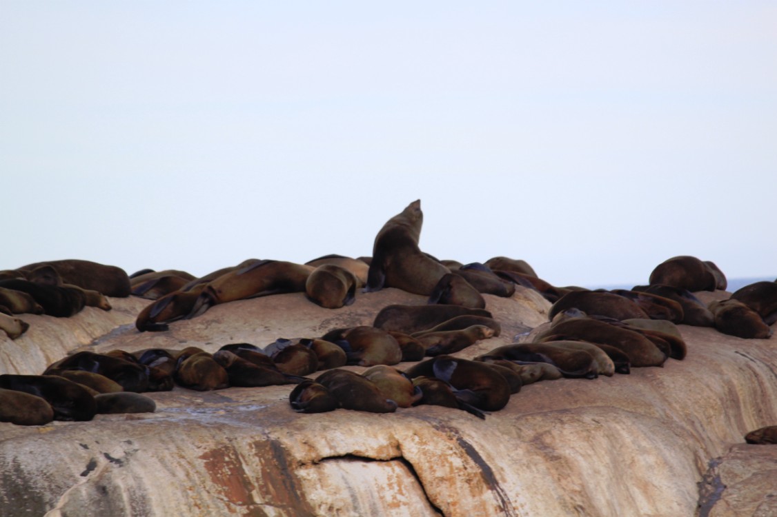
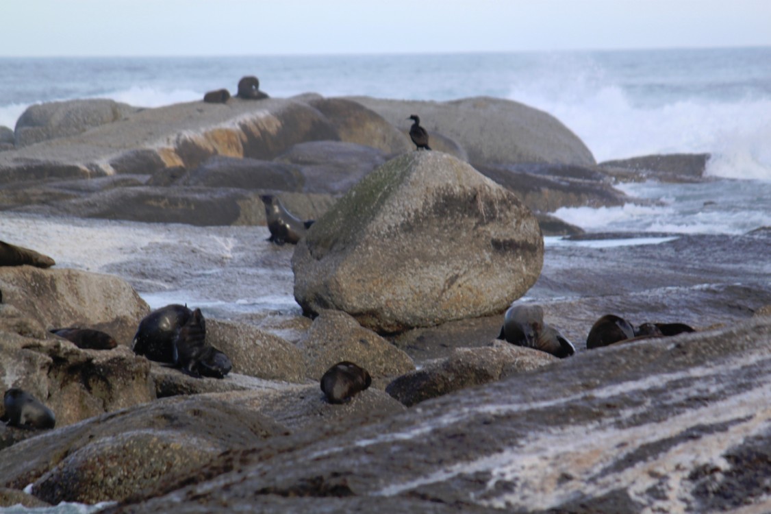
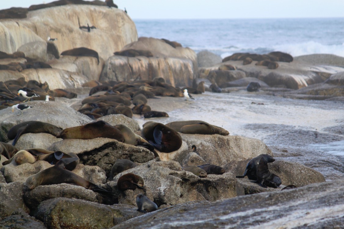
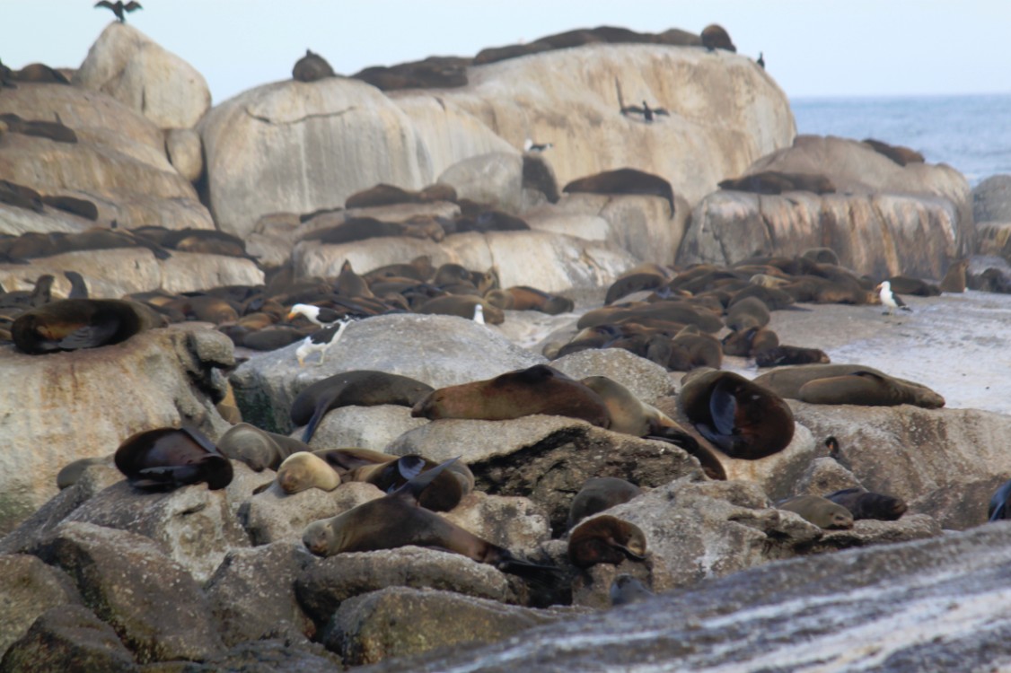
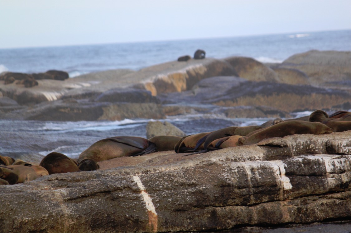
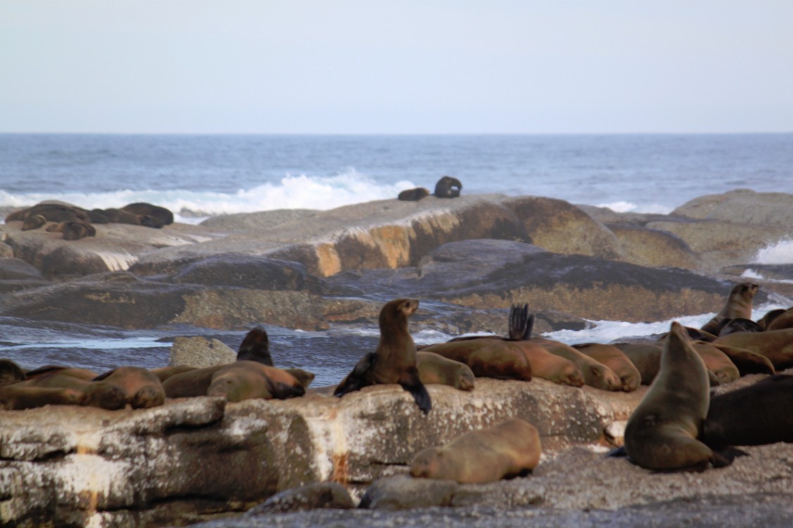
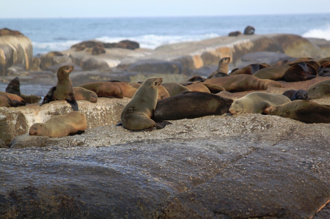
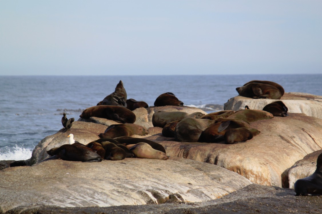
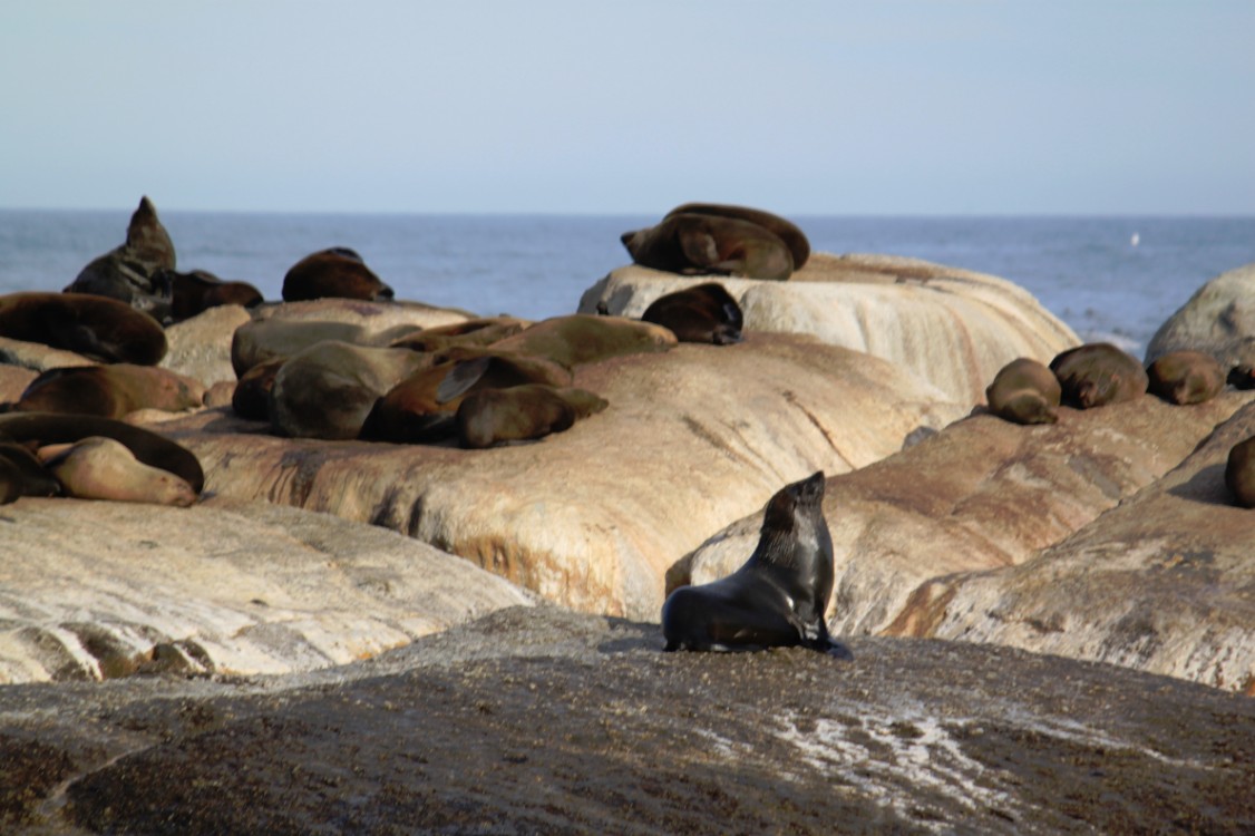
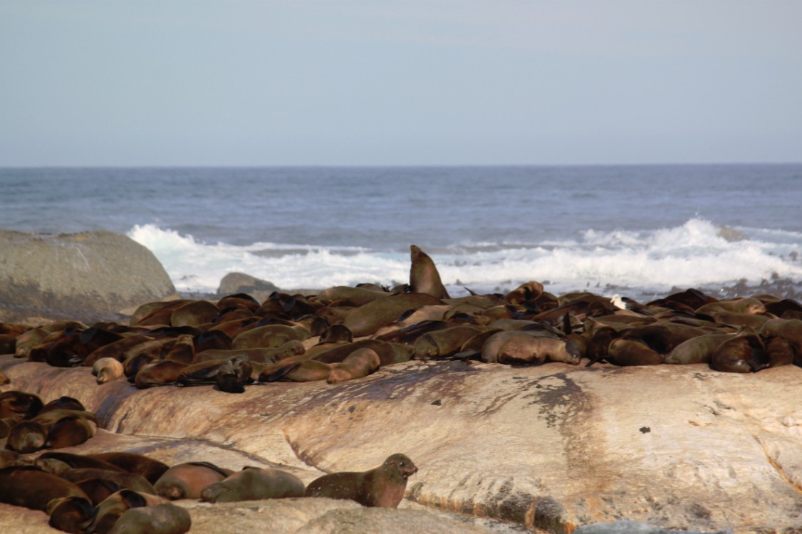
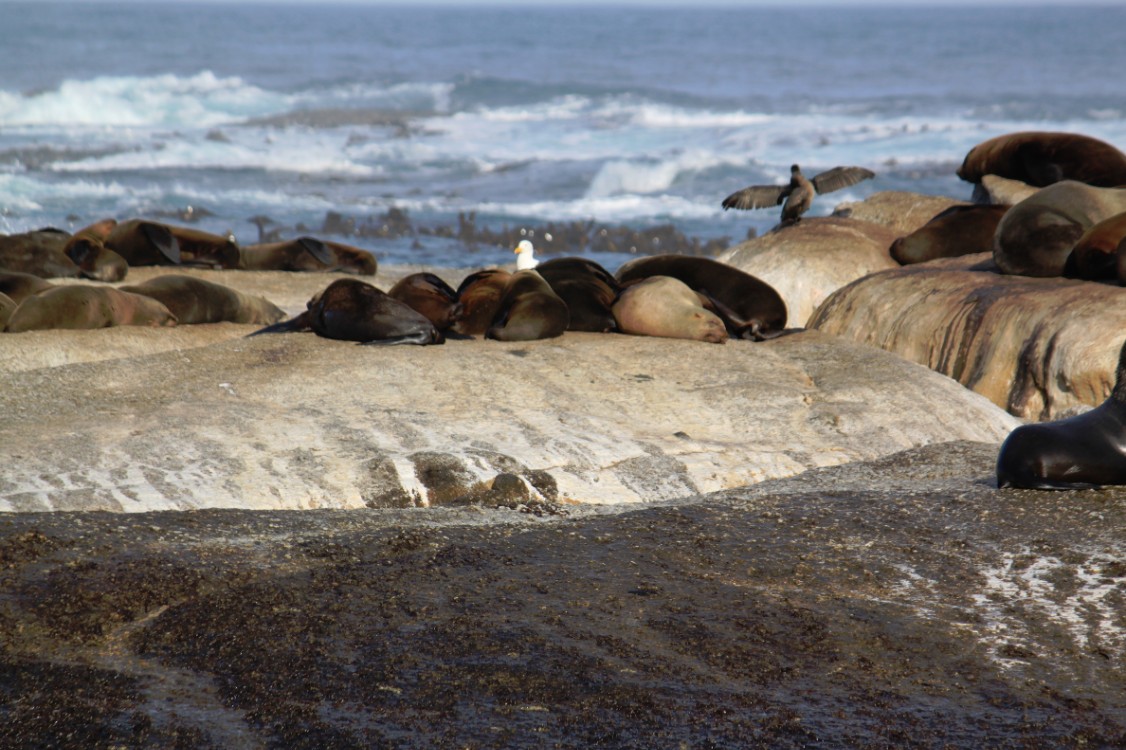
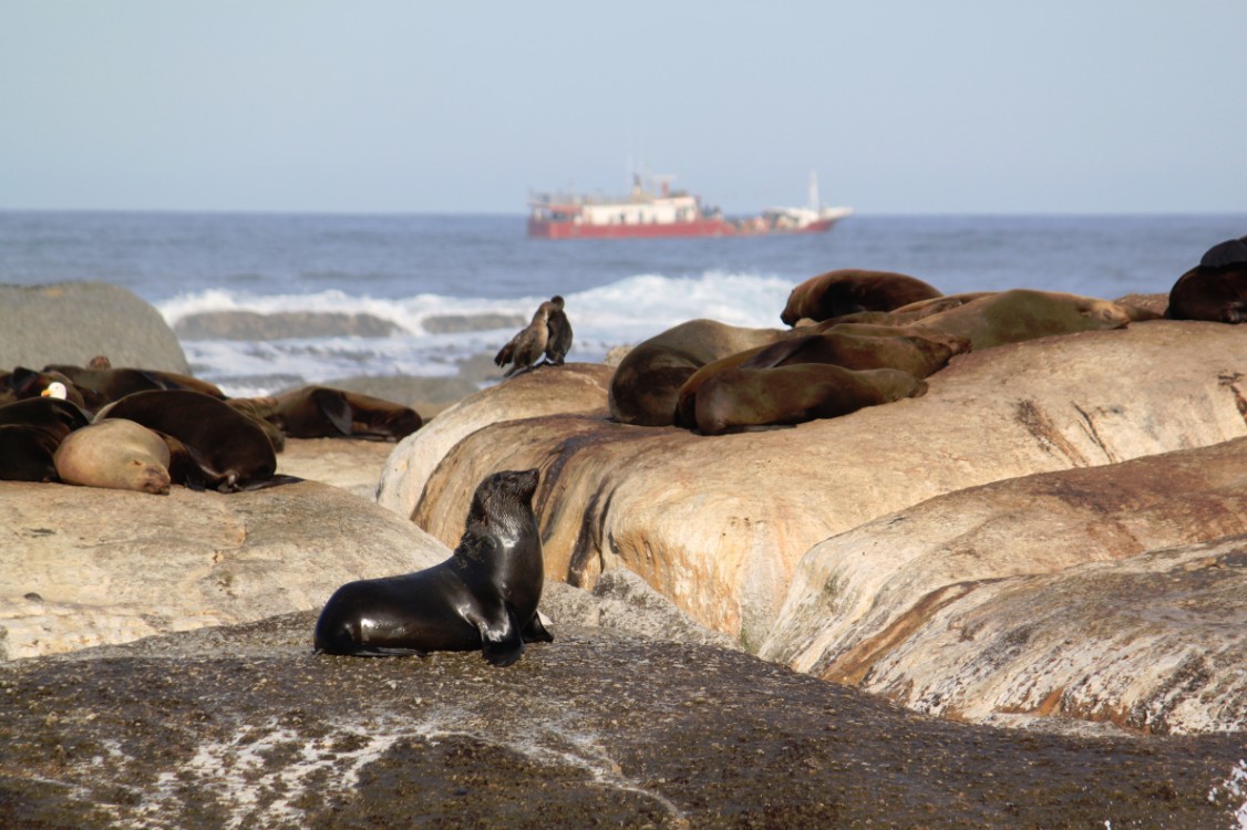
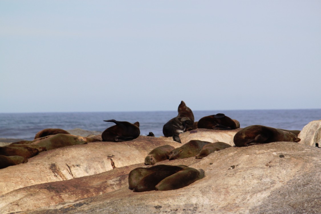
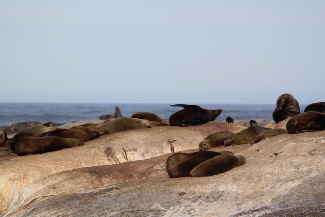
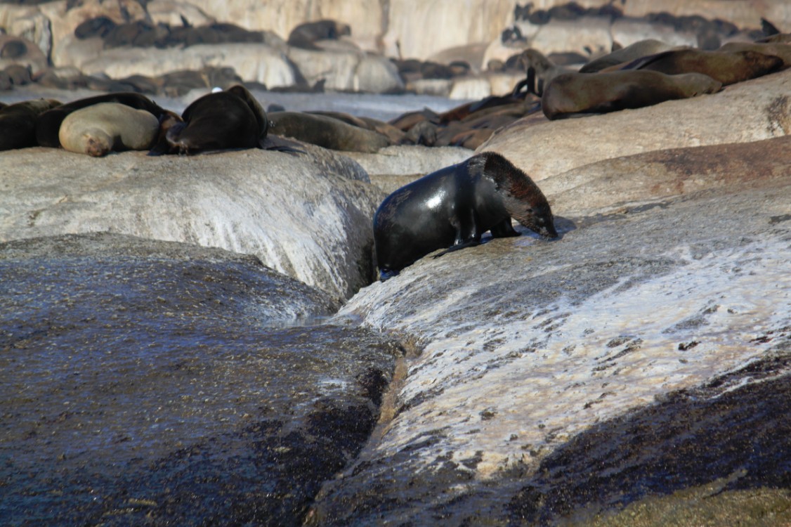
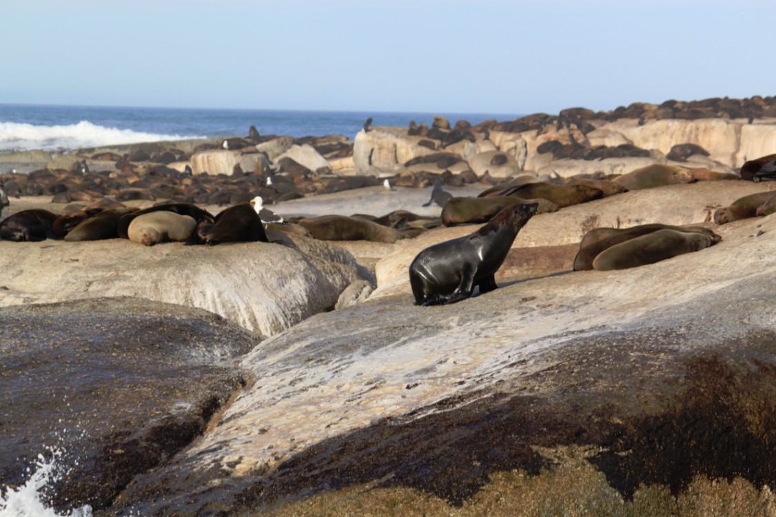
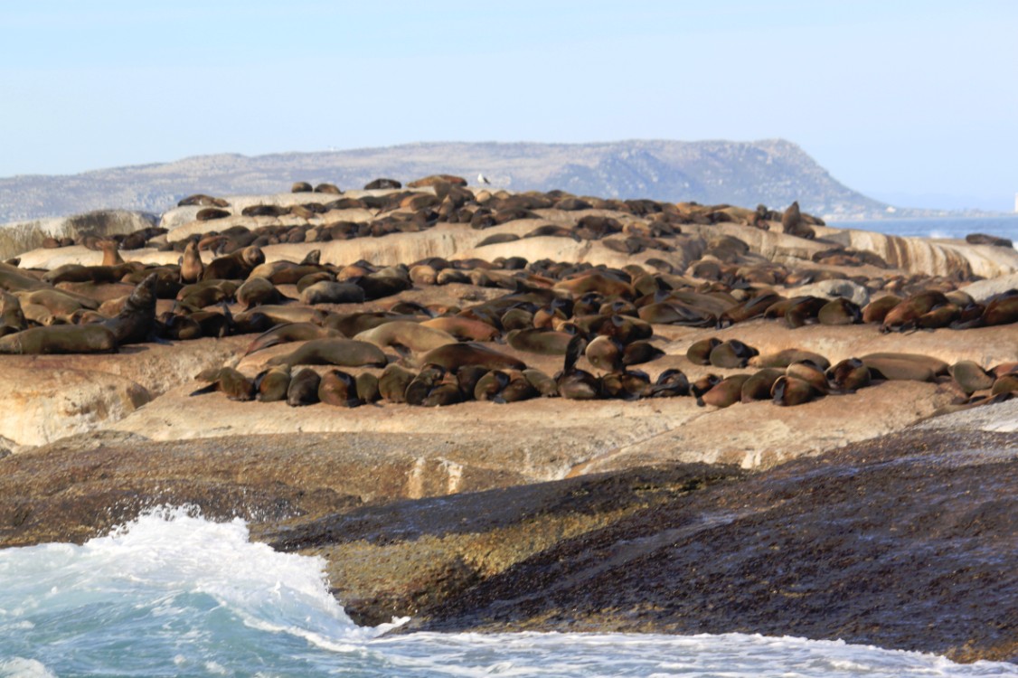
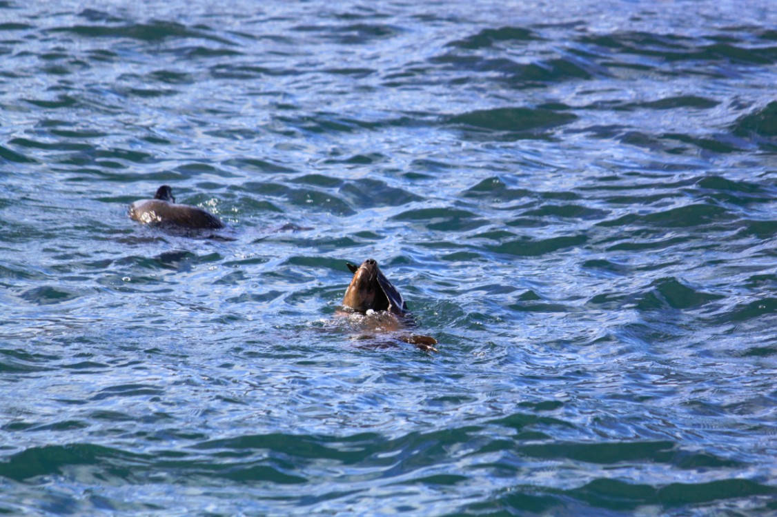
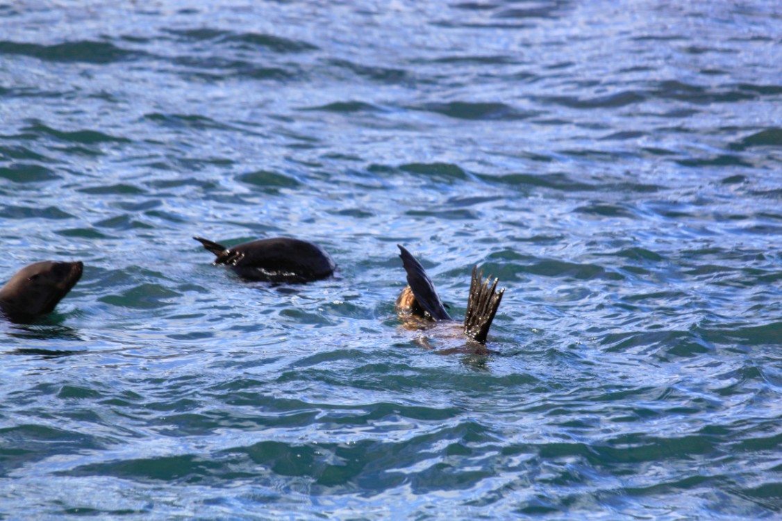
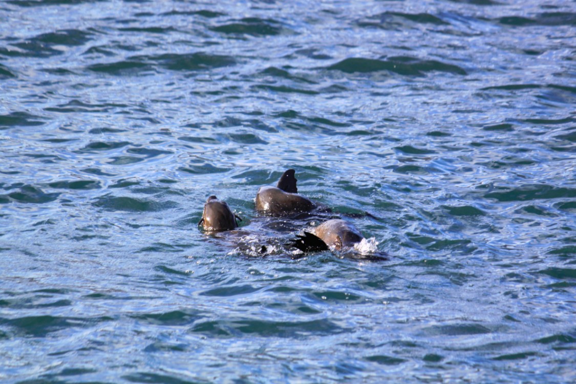
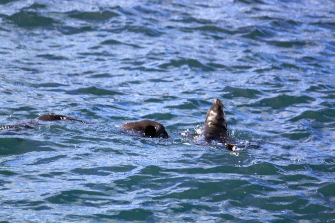
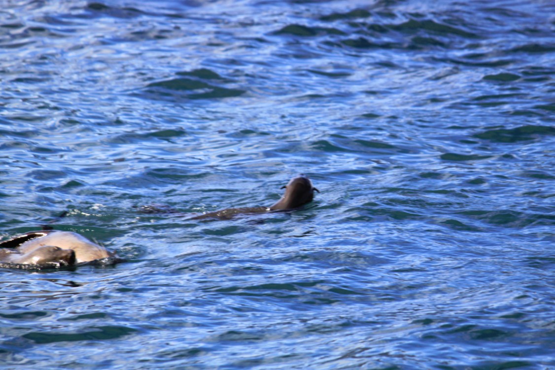
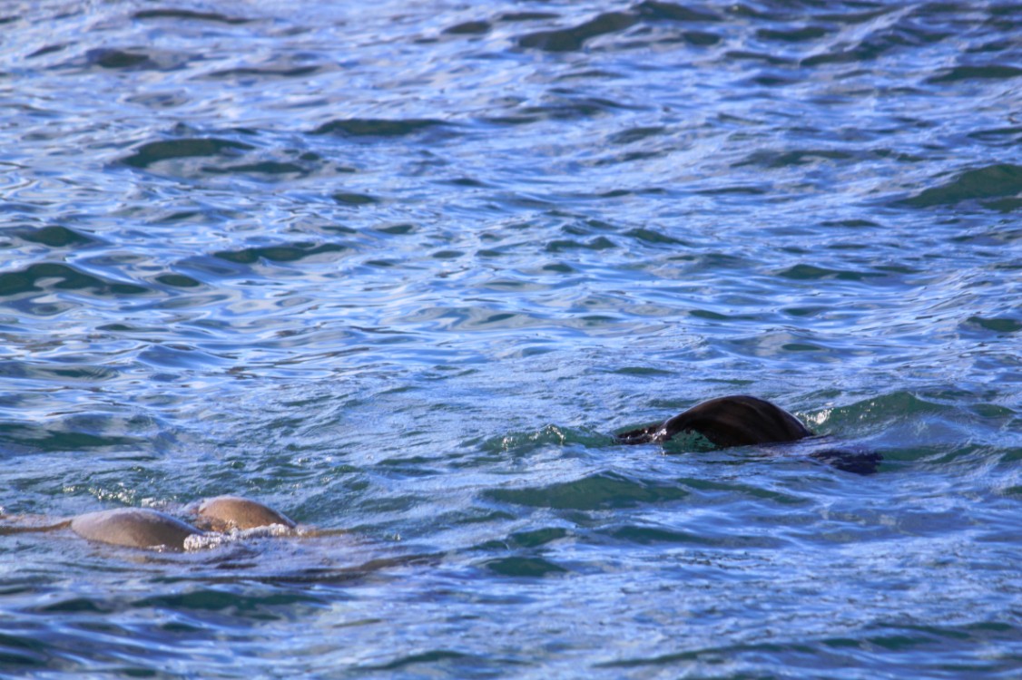
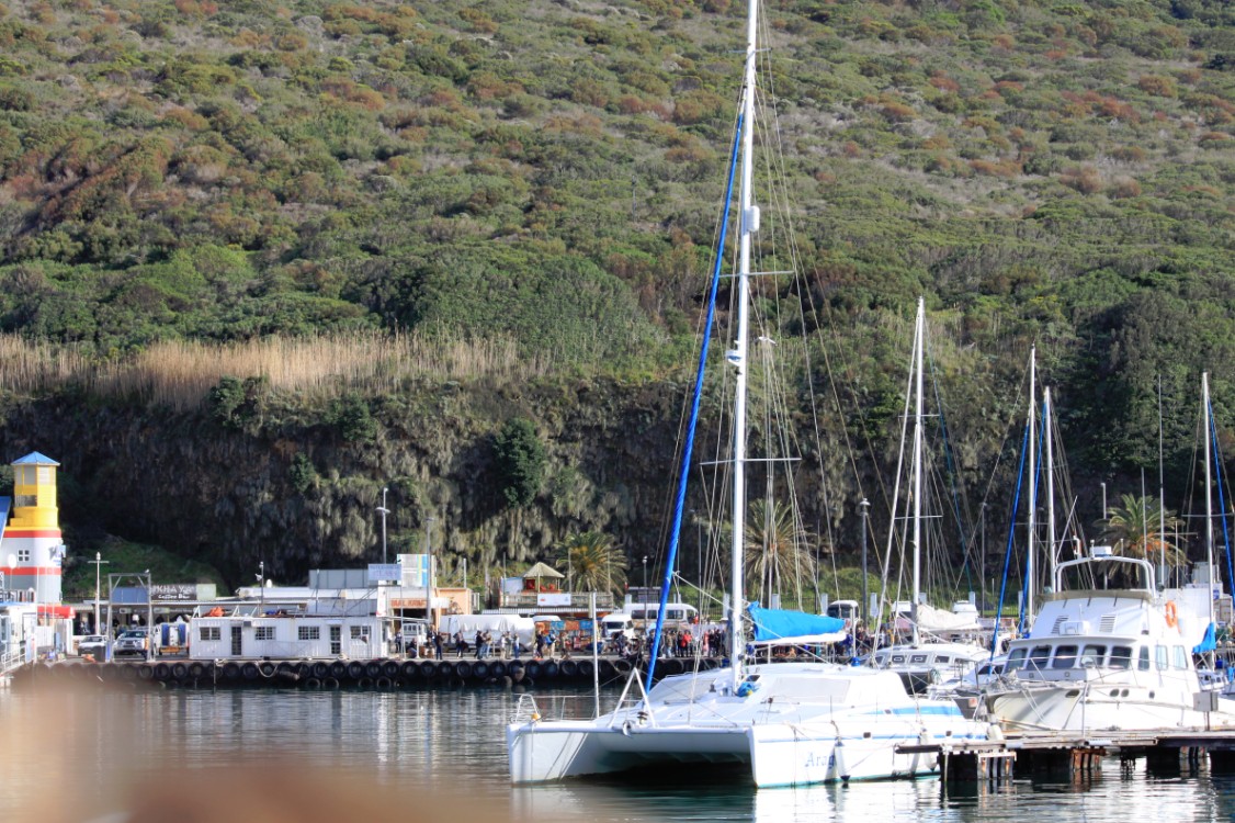
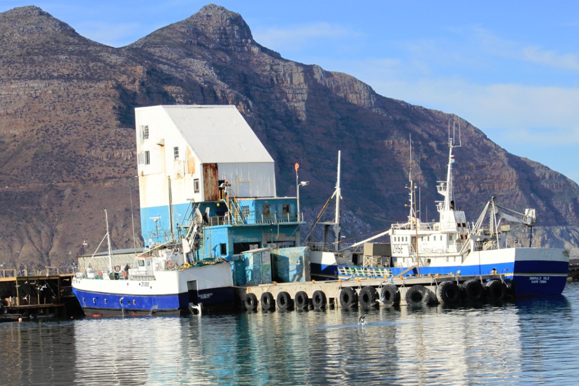
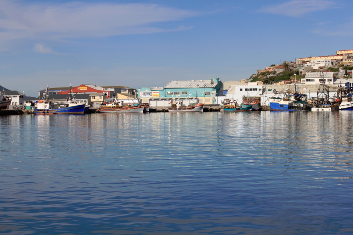
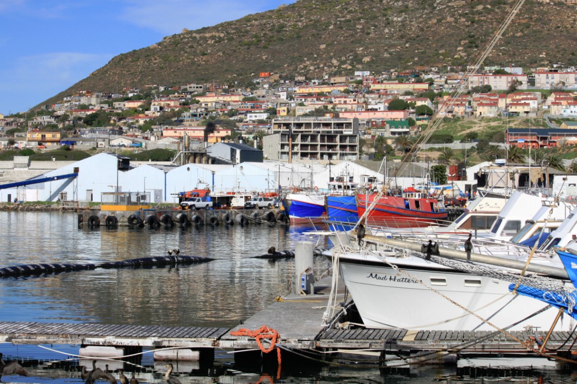
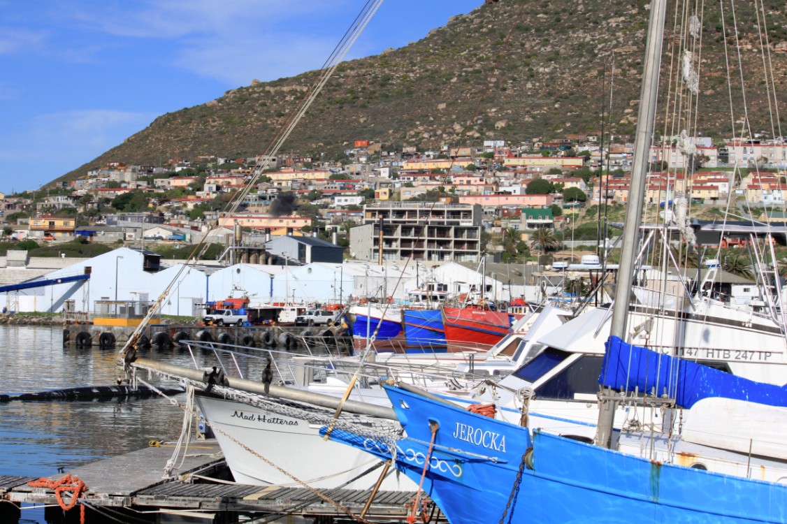
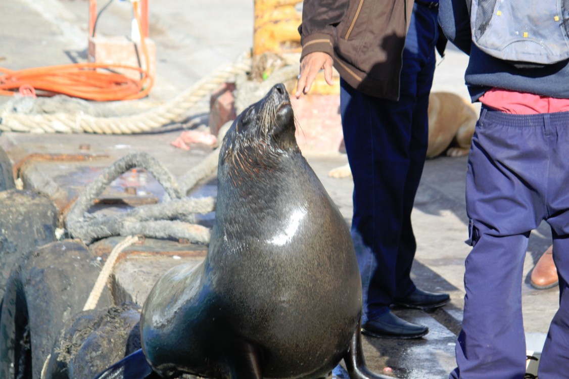
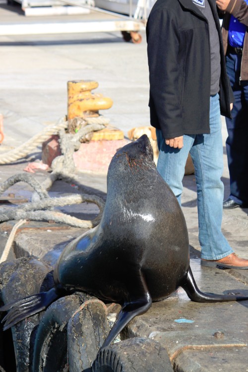
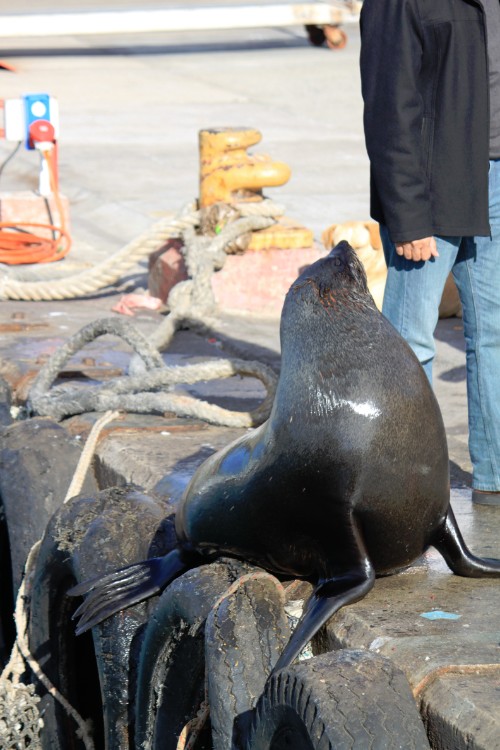
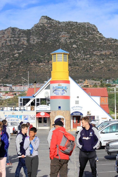
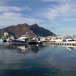
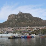
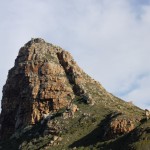
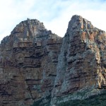
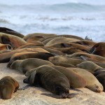
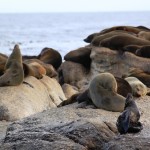
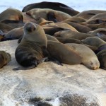
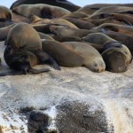
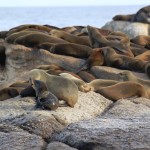
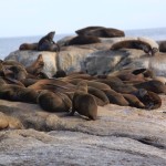
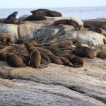
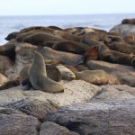
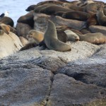
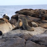
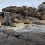
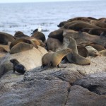
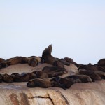
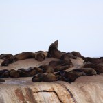
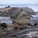
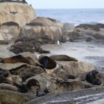
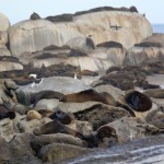
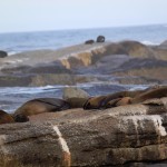
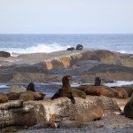
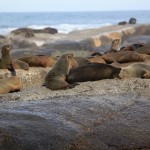
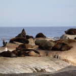
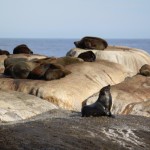
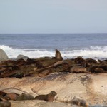
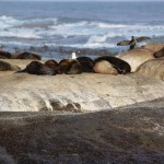
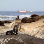
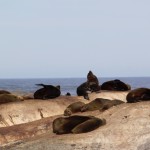
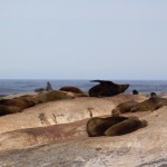
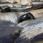
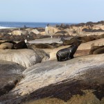
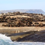
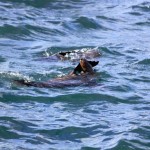
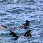
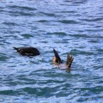
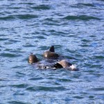
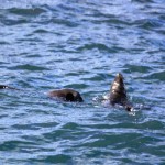
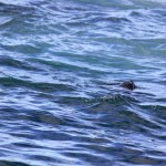
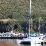
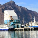
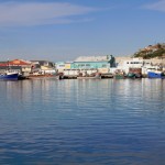
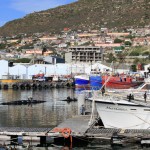
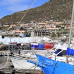
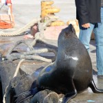
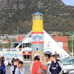
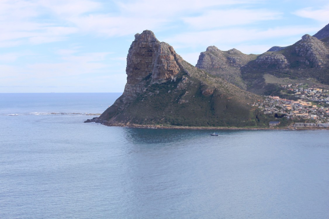
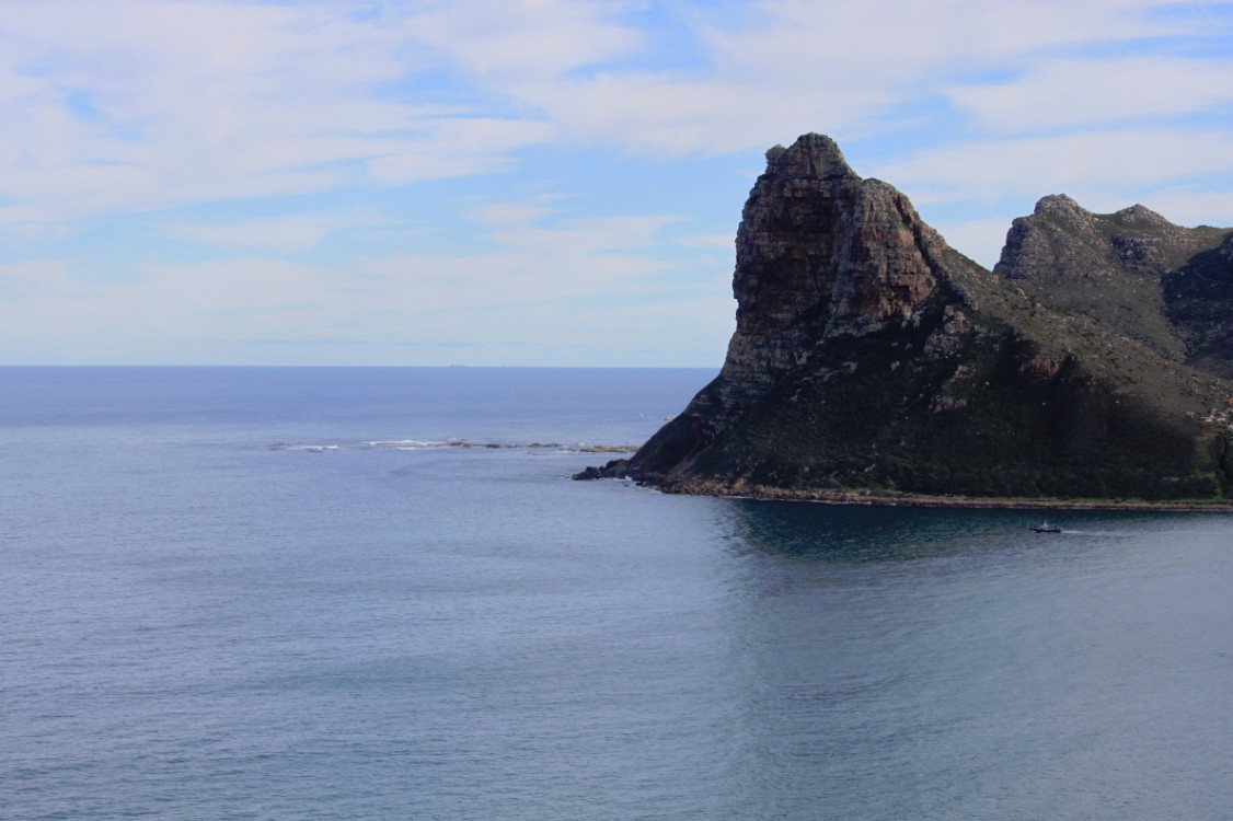
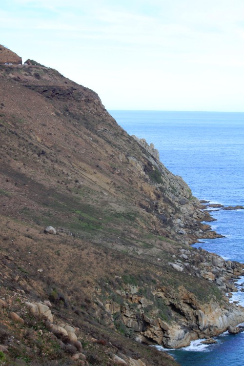
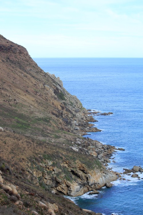
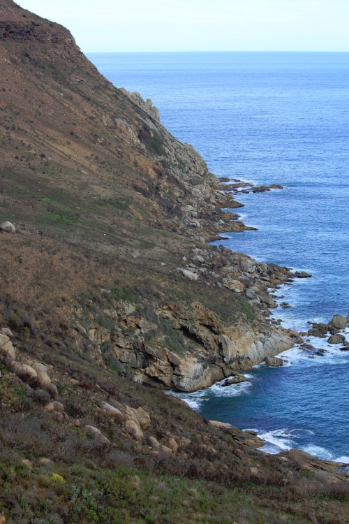
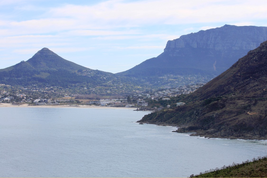
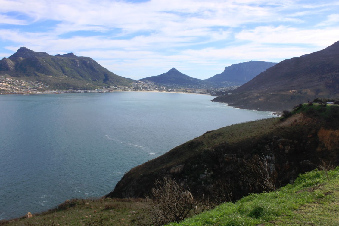
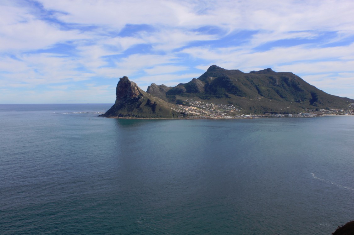
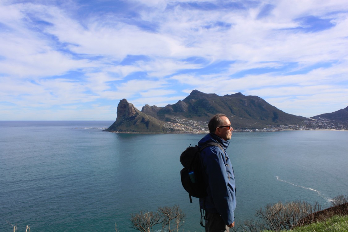
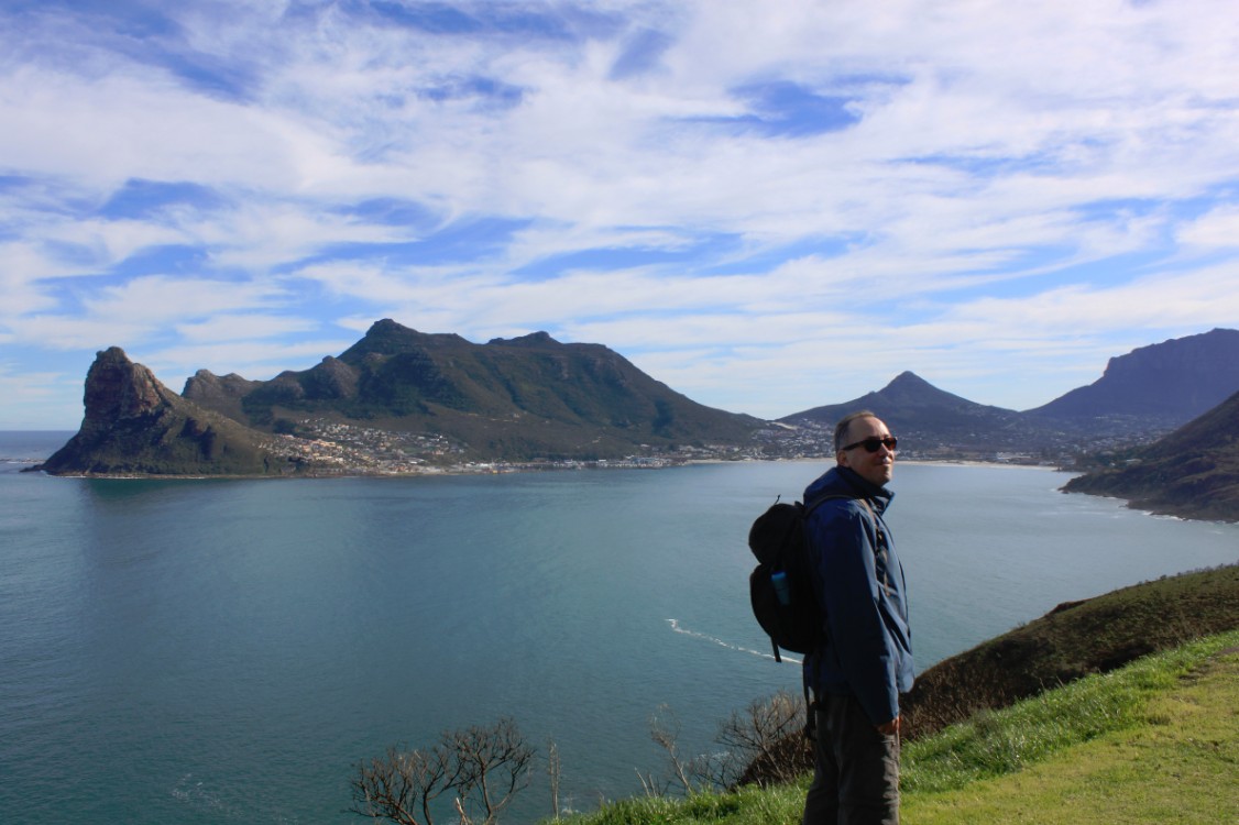
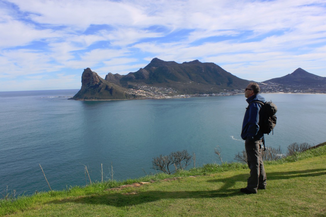
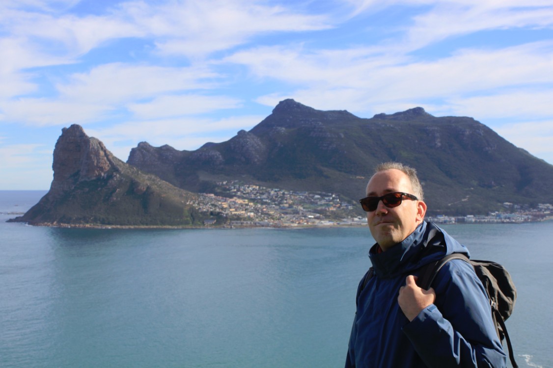
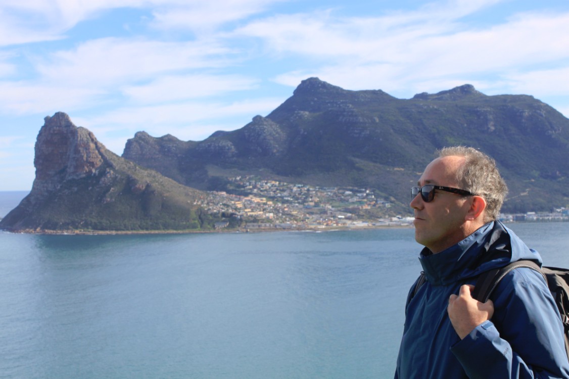
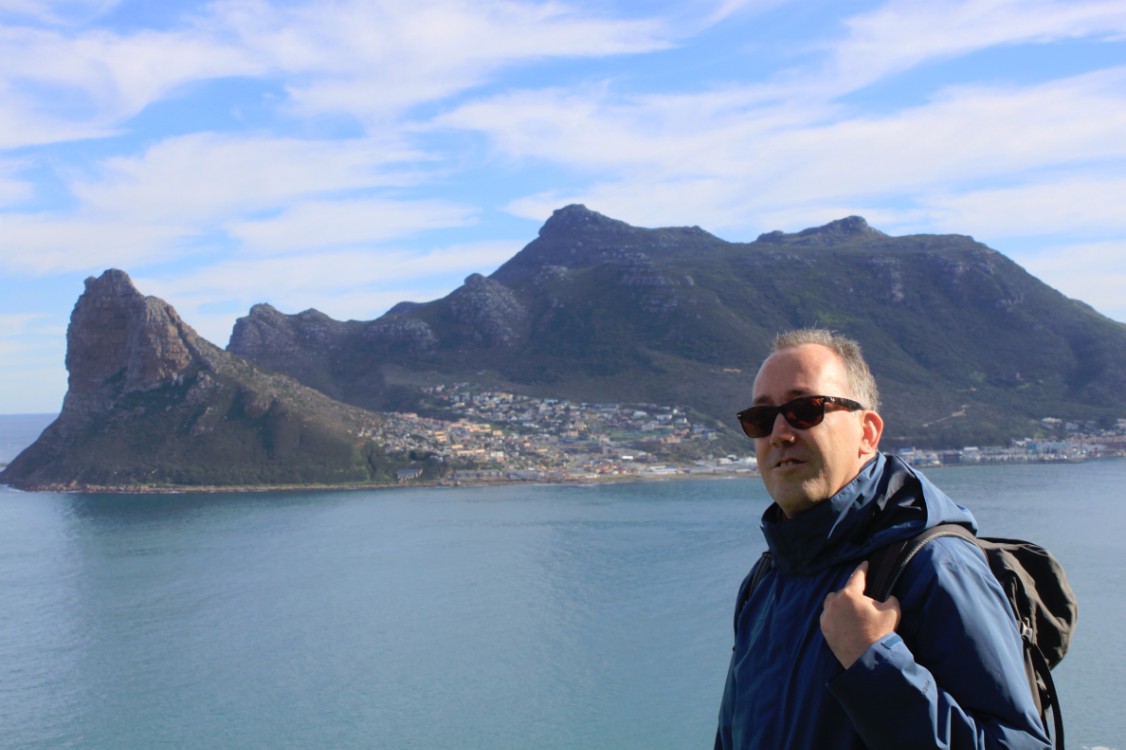
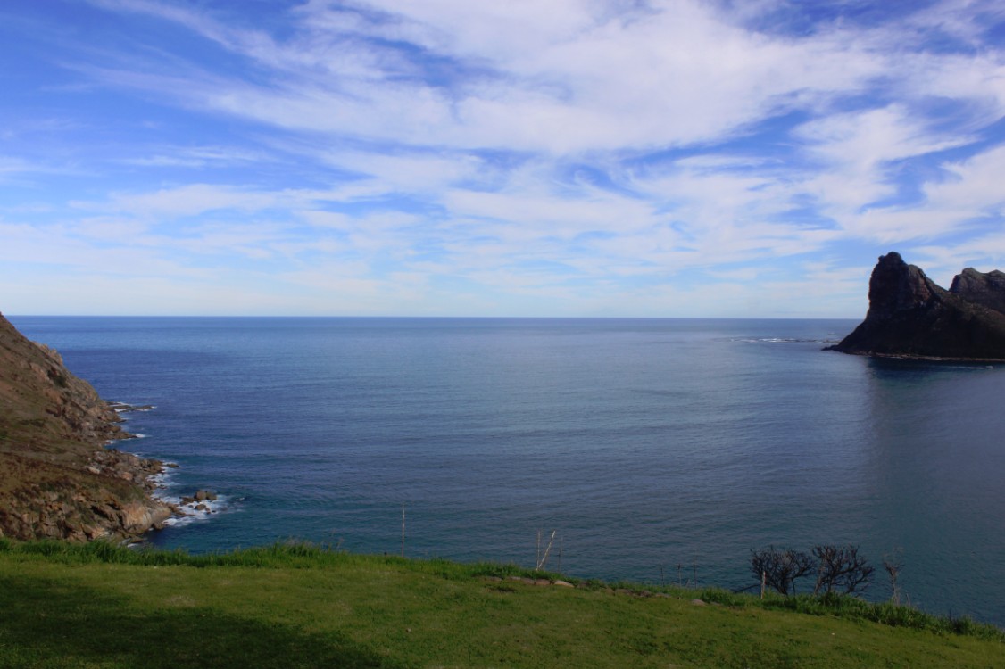
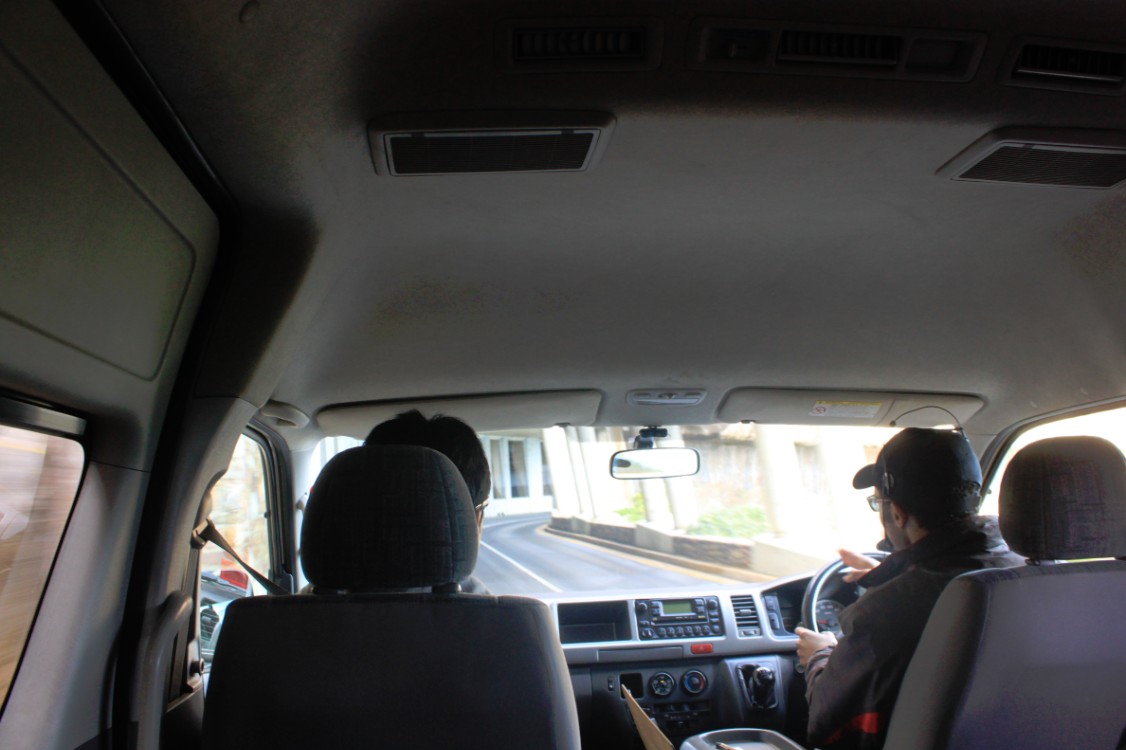
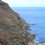
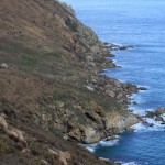
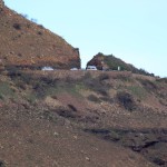
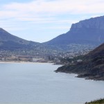
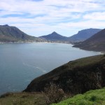
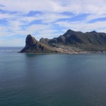
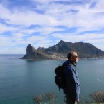
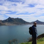
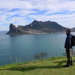
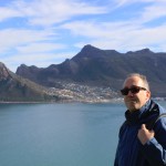
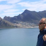
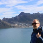
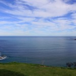
The first stage over the Cape Peninsula went along the Atlantic coast, south to Hout Bay. From his hotel The Wandelgek drove in a van to the Victoria and Alfred Waterfront and from there in about half an hour along the Atlantic coast to the village of Hout Bay. From this small fishermen harbor he then took a small boat to Duiker Island (Divers Island), a small rocky island which is full of seals that lie there in the sun raising their young. From Hout Bay The Wandelgek continued towards Chapman’s Peak over the spectacular Chapman‘s Drive, where the view over the Hout Bay is the most spectacular.
Hout Bay (Houtbaai)
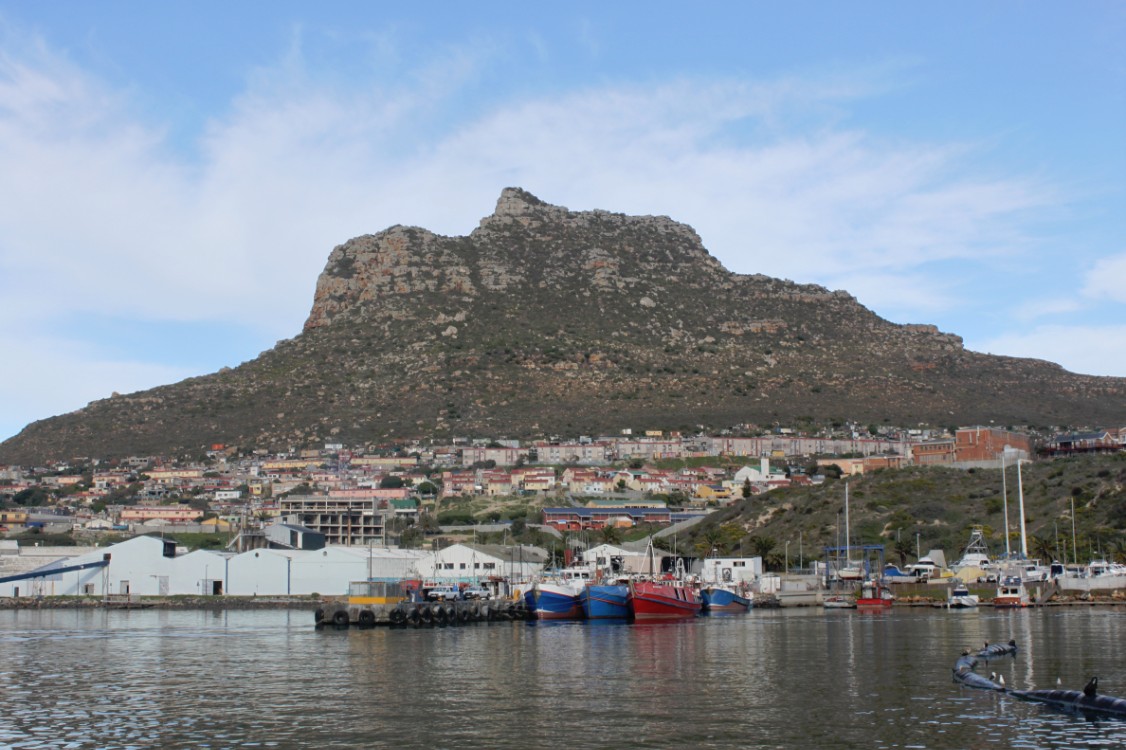
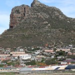
Hout Bay (Afrikaans: Houtbaai, meaning “Wood Bay”) is a town near Cape Town, South Africa situated in a valley on the Atlantic seaboard of the Cape Peninsula, twenty kilometres south of the Central Business District of Cape Town. The name “Hout Bay” can refer to the town, the bay on which it is situated, or the entire valley.
History
When the Dutch established a colony in Table Bay in 1652, a great quantity of good timber was required for construction, shipbuilding other purposes. There was no large forest in the immediate vicinity of the settlement, mainly because the rainfall was not high enough. It was soon apparent that the colonists would be able to fell wood they needed in the wetter valley that lay on the other side of a low pass (called Constantia Nek) between the southern end of Table Mountain and Constantiaberg. The area was originally made up of two farms, which were slowly subdivided to make way for urban expansion. While still maintaining its rural atmosphere, the area of Hout Bay has more than 12,000 residences inhabited by a population of about 42,000 people.
Geography
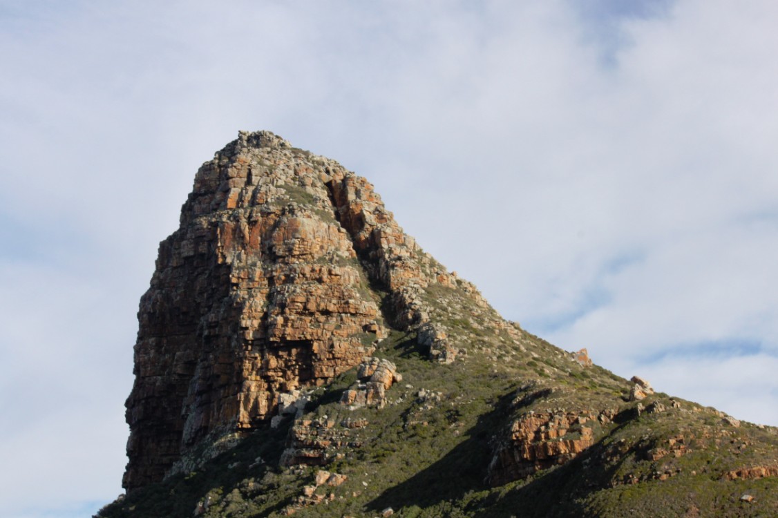
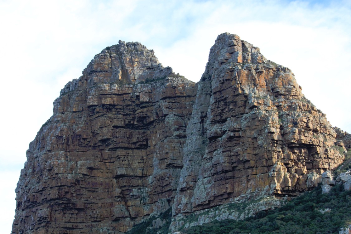
Hout Bay is surrounded by mountains to the north, east and west and the southern Atlantic Ocean to the south. In the north, it is bordered by Table Mountain National Park comprising the Orangekloof Nature reserve and the bottom slopes of Table Mountain beyond that. To the north-west, it is bordered by the backside of the Twelve Apostles, known as the Oranjekloof. To the west, it is bordered by Little Lion’s Head (Klein Leeukop), Karbonkelberg, Kaptein’s Peak and the Sentinel. To the east it is bordered by the Vlakkenberg, Skoorsteenskopberg and Constantiaberg. The world famous Chapman’s Peak Drive is carved out of the mountainside and leads towards Noordhoek and onwards to Cape Point.
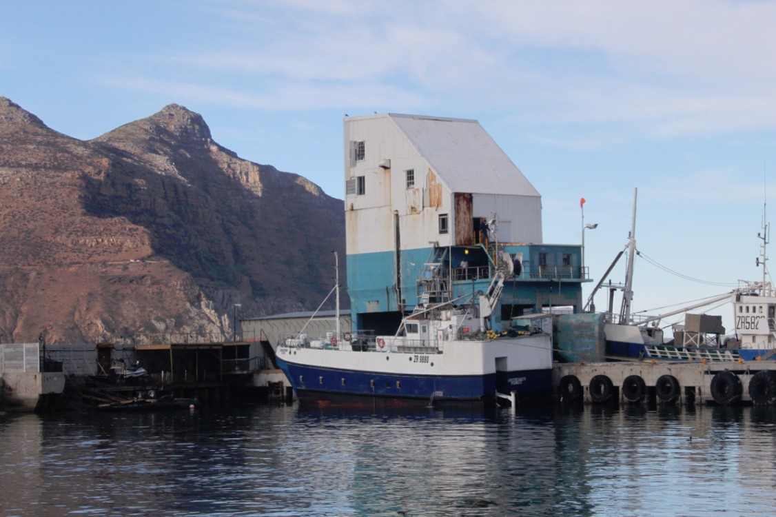
The sheltered bay of Hout Bay has a white sand beach, a popular attraction for tourists and locals alike. Hout Bay has one of the busiest fishing harbours in the Western Cape with an established tuna, snoek and crayfish industry. The harbour is home to the Hout Bay Yacht Club and several restaurants.
There are three roads leading to and from Hout Bay, all over mountain passes. One goes to Llandudno and Camps Bay through the pass between Judas Peak (part of the Twelve Apostles) and Little Lion’s Head. This pass is known as “Suikerbossie” (known as the toughest hill on the Cape Argus Cycle Race). Between Hout Bay and Noordhoek there is Chapman’s Peak Drive, which was closed for many years and finally reopened in early 2004 with a controversial toll booth. Lastly a road leads to Constantia over the Constantia Nek pass between Vlakkenberg and the back slopes of Table Mountain.
Duiker Island (Duikereiland)
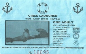 Duiker Island or Duikereiland (Afrikaans), also known as Seal Island (not to be confused with the nearby Seal Island), is an island off Hout Bay near Cape Town South Africa. It is 77 by 95 metres in size, with an area of about 0.4 hectare.
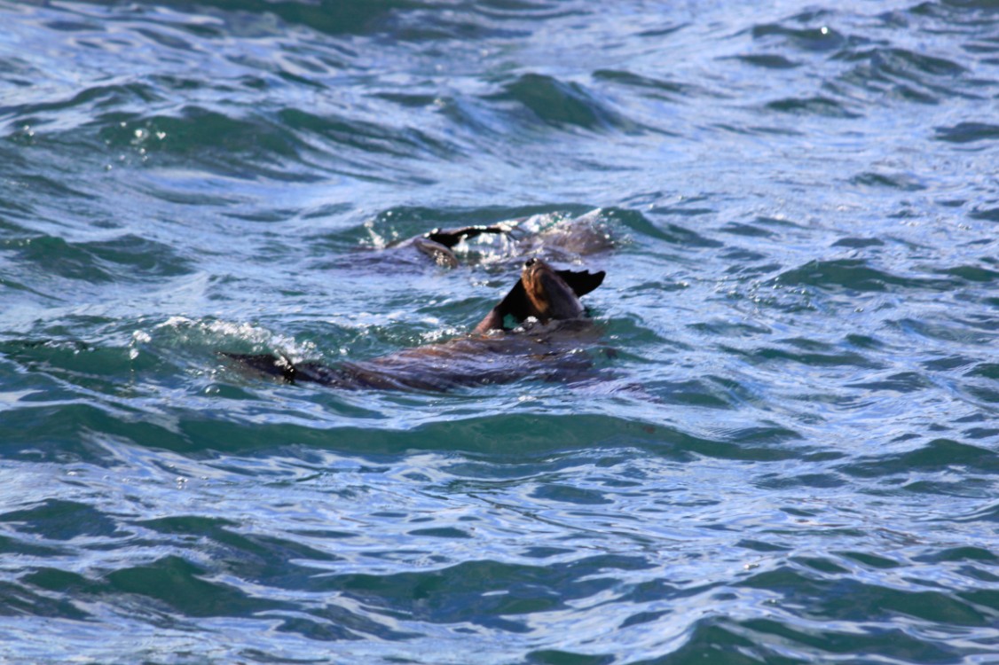
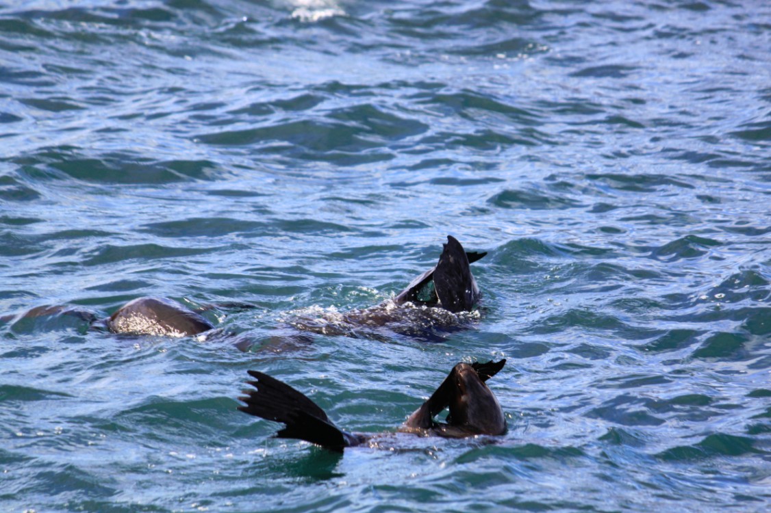
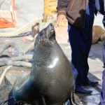
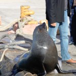
The island is renowned for its marine wildlife such as birds and fur seals. It is visited regularly by tourists and photographers by boat via Mariner’s Wharf in Hout Bay harbour.
On 13 October 2012, a small vessel carrying tourists to Duiker Island capsized. The incident resulted in the deaths of two men while three women survived by finding air pockets beneath the up-turned vessel.
This story shows once more how dangerous the waters around Cape Town and the Cape of Good Hope are for ships.
Chapman’s Peak
Chapman’s Peak is the name of a mountain on the western side of the Cape Peninsula, about 15 kilometres south of Cape Town, South Africa. It is opposite the inlet on which the town of Hout Bay is centred.
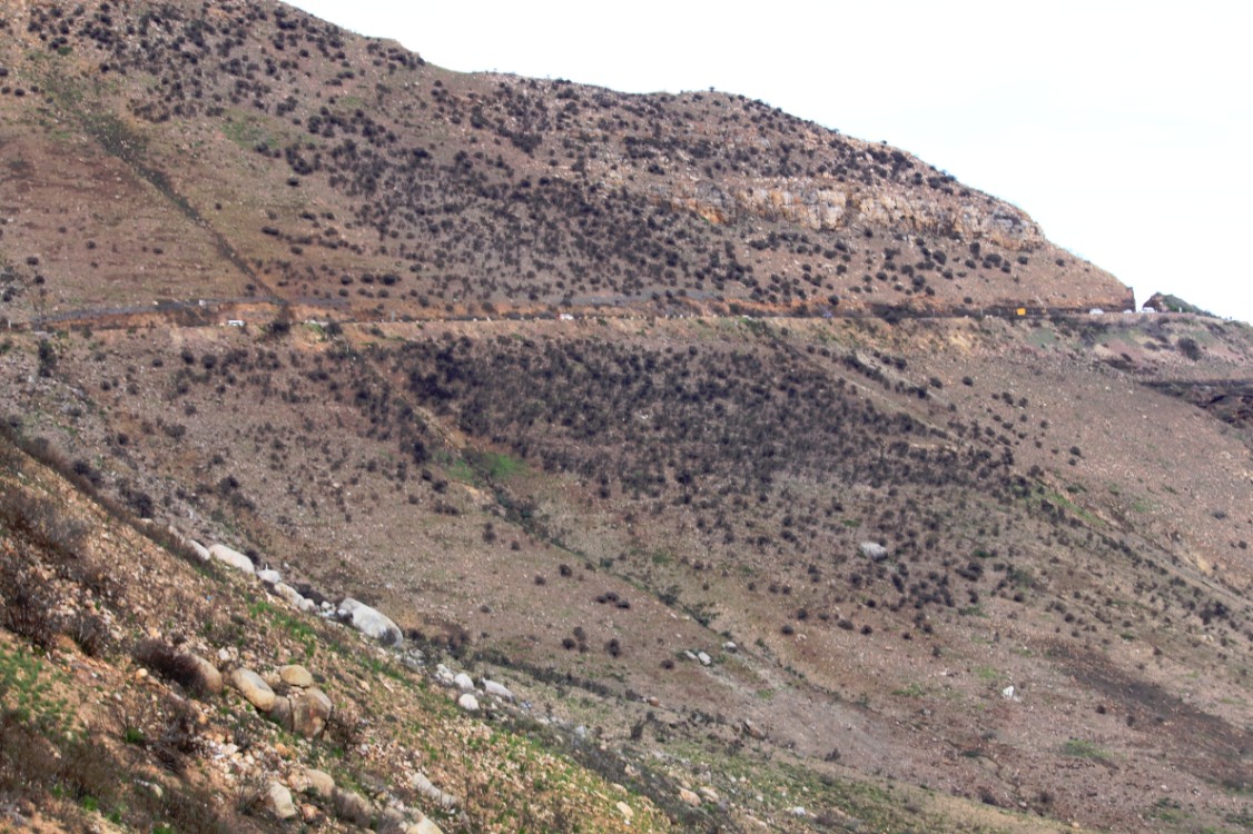
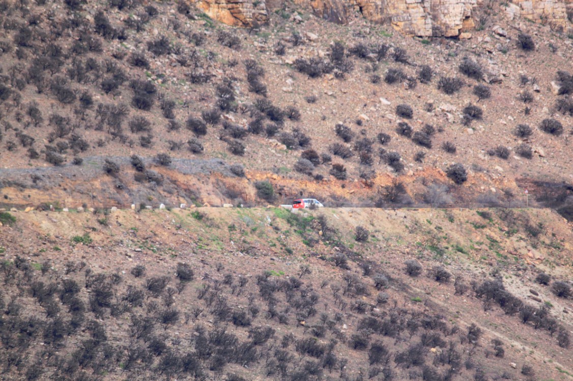
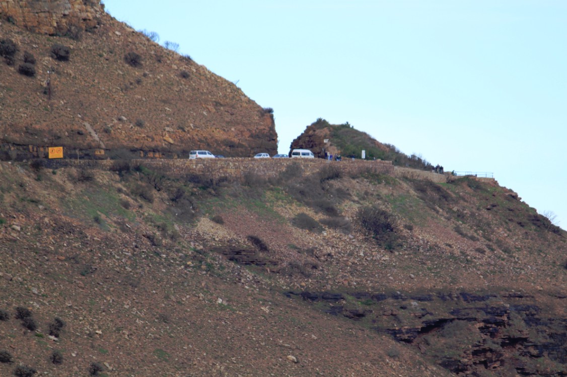
The western flank of the mountain falls sharply for hundreds of metres into the Atlantic Ocean. A spectacular road, known as Chapman’s Peak Drive, hugs the near-vertical face of the mountain from Hout Bay to Noordhoek. Hacked out of the face of the mountain between 1915 and 1922, the road was at the time regarded as a major feat of engineering. Chapman’s Peak Drive was closed in the 1990s, after a rockfall caused a death and a subsequent lawsuit, and subsequently reopened after being re-engineered to protect motorists from falling rocks. It was reopened in 2005 as a toll road. The road was again closed for a number of months beginning on 19 June 2008 “as a result of risk areas identified on the mountain above the road”, but has since been reopened indefinitely.
Chapman’s Peak Drive is part of the route of two of South Africa’s biggest mass-participation races, the Cape Argus Cycle Race and the Two Oceans Marathon.
Geology
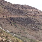
The top of Chapman’s Peak consists of flat, sedimentary rocks related to those that form Table Mountain. The base of the mountain, however, consists of Cape Granite and the two formations meet at a geological unconformity that is world-famous amongst earth scientists.
Two different endangered vegetation types can be found along this road, and correspond to the two main geological formations. They are Peninsula Sandstone Fynbos and Cape Granite Fynbos and they are both endemic to the city of Cape Town, occurring nowhere else.
There is an old, abandoned manganese mine on the northwestern slopes of the peak. The remains of a jetty from which the ore used to be shipped is directly below the workings.

