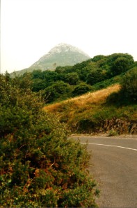
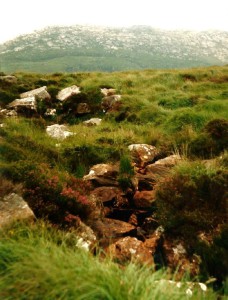
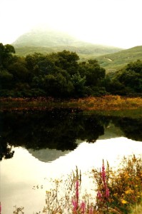
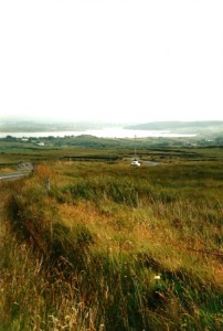
4. Ireland: Cycling and wandering through the Connemara (including the Connemara National Park) – 1995
Via the cliff at Galway Bay and the long railway bridge over the River Corrib, the Wandelgek walked from the campsite to the station of Galway and took the bus to Clifden. During this bustrip, The Wandelgek was first introduced to the area of “The Connemara”. The Connemara is a district in the western part of the county Galway, which stretches between Lough Corrib and the very jagged coast of Ireland to the north side of Galway Bay.
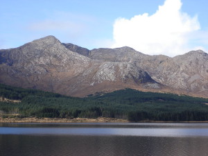
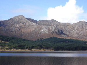
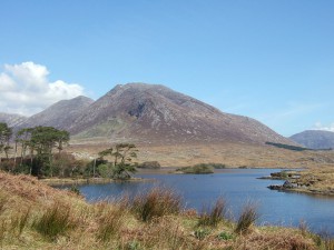
It is a region full of fantastic landscapes and panoramas, dominated by the rocky mountain range, known as the “Twelve Bens” (the twelve mountains). The Connemara was the source of inspiration of many well known paintings. Gaeltacht (Irish-speaking) provides students of Irish, with very good prospects to learn the language.
Twelve Bens
The Twelve Bens, or Twelve Pins (Irish: Na Beanna Beola), is a mountain range of sharp-peaked quartzite ranges located northeast of Roundstone in Connemara in the west of Ireland. Dedicated fell runners attempt to hike all twelve peaks in a single day. Topographically, this range is partnered with the Maumturks range on the other side of the lonely Glen Inagh (and the route of Western Way long distance path). Frequent rainfall and steep-sided mountains produce an abundance of small trickles and streams which descend into wide-bottomed valleys below the Twelve Pins to join larger streams with riffles and pools. The highest point in the Twelve Bens is Benbaun at 729 metres (2,392 ft). They provide excellent walking and climbing opportunities for outdoor enthusiasts.
Highest points
The following table lists the 12 highest major mountain peaks of the Twelve Bens Mountains, all with a topographic elevation of at least 516 metres (1,693 ft). There are a number of mountains higher than Benglenisky, but do not have sufficient prominence to be included in this list.
| Rank | Mountain peak | Elevation | English Name |
|---|---|---|---|
| 1 | Binn Bhán | 729 m (2,392 ft) | Benbaun |
| 2 | Binn Chorr | 711 m (2,333 ft) | Bencorr |
| 3 | Binn Dubh | 696 m (2,283 ft) | Bencollaghduff |
| 4 | Binn Bhraoin | 691 m (2,267 ft) | Benbreen |
| 5 | Binn Doire Chláir | 677 m (2,221 ft) | Derryclare |
| 6 | Binn Gabhar | 664 m (2,178 ft) | Bengower |
| 7 | Meacanach | 654 m (2,146 ft) | Muckanaght |
| 8 | Binn Fraoigh | 638 m (2,093 ft) | Benfree |
| 9 | An Chailleach | 632 m (2,073 ft) | Bencullagh |
| 10 | Binn Breac | 582 m (1,909 ft) | Benbrack |
| 11 | Binn Leitrí | 577 m (1,893 ft) | Benlettery |
| 12 | Binn Glean Uisce | 516 m (1,693 ft) | Benglenisky |
First, the bus drove along Lough Corrib and then deeper into the interior of the Connemara. Then along the foot of the Twelve Bens, where lots of beautiful mountain lakes lie.
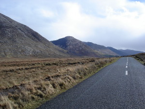
The bus then heads through the Maam Valley. This is an empty valley of great beauty, which cuts through the Maamturk mountains in an area known as “The Joyce country”. The Joyce family settled here in the 13th century and gave its name to this area.
Maamturks
Na Sléibhte Mhám Toirc (The Maumturks/Maamturks, the Turks (fam.)) are a picturesque mountain range in Connemara in the west of Ireland. They are less well known than their more famous neighbours, the Twelve Bens on the other side of the Inagh Valley (and of the Western Way long distance path). They are not very big (max 702m) but a pleasant climb in fine weather, with superb views and no congestion. Dedicated fell runners run from Maumeen in the south to Leenaun in the north in a single day.
Highest points
The table below lists some of the highest major mountain peaks of the Maumturk Mountains.
| Rank | Mountain peak | Elevation | English Name |
|---|---|---|---|
| 1 | Binn Idir an Dá Log | 702 m (2,303 ft) | Barrslievenaroy |
| 2 | Leitir Bhriocáin | 667 m (2,188 ft) | Letterbreckaun |
| 3 | Binn Mhór | 661 m (2,169 ft) | BinnMhor |
| 4 | Binn Chaonaigh | 633 m (2,077 ft) | Binn Chaonaigh |
Via a very narrow, winding road over which many agricultural vehicles drove and over which livestock was led to pastures or sheds, we drove on through this magnificent area. Because of the heat in the bus The Wandelgek had fallen asleep for half of the journey, but when he saw this beautiful area, he could sleep no more. All along the route were cows, goats and sheep walking freely, even on the road. I had to think back to the bus trip to Budapest which was similar because of argicultural transport and livestock, but here the view was much better. For the first time since the beginning of this journey The Wandelgek had the holiday feeling. This was the real Ireland …
The “Twelve Bens” are a remarkable mountain range, which occupies a circular area of about 6 miles in diameter and is the dominant feature of the Connemara landscape. To the south and east, they are bounded by a chain of lakes. Their rounded tops and the diversity of each mountain silhouette are the most striking features. The slopes are colored by various mosses.
At one of the mountain lakes, beyond “Maam cross”, the intersection of the only two main roads within the Connemara, the bus stopped for a little break. There, at the edge of the lake stood a statue, which was set up there, because nothing happened in this place in 1896 …... In the bus was a fellow Dutchman who entertained his children in a rather dry fashion. Suddenly the Dutchman says that next year would be the 100th anniversary of the fact that in this place nothing happened. Suddenly The Wandelgek’s imagination goes wild and he sees huge parties to commemorate nothing and the rest of the passengers are bursting out into laughter. “Strange boys these Irish” would Obelix have thought.
After a while it started to rain. Until then it had been pretty nice weather. Quickly everyone got back into the bus and it drove further to Clifden.
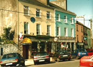
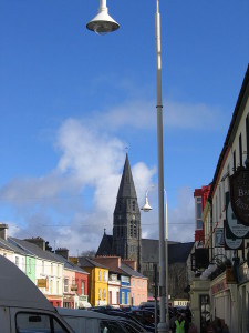
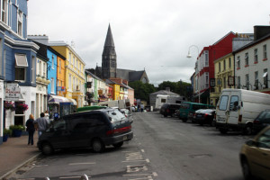
Clifden is the “capital of Connemara”. It is one of the most beloved and most attractive towns of Ireland. Clifden is situated at the beginning of Clifden Bay and has the the great “Twelve Bens” as a backdrop. All roads to Clifden provide magnificent panoramas of the loveliest scenery in Ireland.
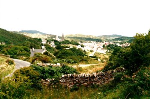
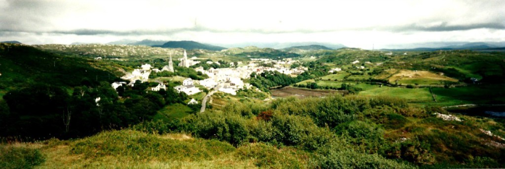
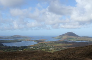
“The Wandelgek” first visited the tourist information office. “Then he climbed a hill on the Sky Road. From above, the view over Clifden and the surrounding Connemara was truly pastoral / rural and very beautiful, showing why Clifden is so popular. It was now fairly sunny weather and that made the view even more beautiful. Again that feeling returned that this is the real Ireland and that the vacation had really just begun. At 17:00 the bus went back to Galway, so there wasn’t much time to stay and enjoy the view. De Wandelgek decided to return asap for a longer period.
In the village, it was possible to rent mountain bikes and it seemed a perfect means to explore the Connemara.
Suddenly it was done with peace. Some crackpot sat down on the hilltop and started jamming.
Arriving at the busstop, the Wandelgek met an old Irishman, speaking half Celtic and half English. He spoke about the bus driver, who was sitting in the pub to get drunk. He once hit a pole with his bus and since then the old man had a big argument with that bus driver. During the return trip to Galway another old Irishman was telling jokes to two british tourists. He himself laughed the loudest!
Two days later, the Wandelgek returned to Clifden. The festival of Galway had ended, so more people had the idea to leave Galway.
Connemara
Connemara (Irish: Conamara) is a district in the west of Ireland, the boundaries of which are not well defined. Some define it to be the land contained by Killary Harbour, the Maam Valley, Lough Corrib (as far as Moycullen); a line from there to the sea at Barna, and the Atlantic ocean. Others draw the eastern boundary line from Killary Harbour to Kilkieran Bay in the west of County Galway.
Overview
The term Connemara is frequently used to describe all of County Galway west of Lough Corrib; some argue that this is incorrect. It is also used to describe the Gaeltacht (Irish-speaking areas) of western County Galway; again some argue that this too is inaccurate as some of these areas are outside of the traditional boundary of Connemara. Some also argue that it is not correct to say that Connemara’s eastern boundary ends around Barna just on the outskirts of Galway City or at Maam Cross.
Etymology
“Connemara” derives from the tribal name Conmacne Mara, which designated a branch of the Conmacne, an early tribal grouping that had a number of branches located in different parts of Connacht. Since this particular branch of the Conmacne lived by the sea, they became known as the Conmacne Mara. (Sea in Irish is muir, genitive mara, hence “of the sea”.) The area in the east of what is now Connemara was called Delbhna Tír Dhá Locha.
Geography
Connemara lies in the territory of Iar Connacht, “West Connacht”, which is the portion of County Galway west of Lough Corrib. Connemara was traditionally divided into North Connemara and South Connemara. The mountains of the Twelve Bens and the Owenglin River, which flows into the sea at An Clochán/Clifden, marked the boundary between the two parts. Connemara is bounded on the west, south and north by the Atlantic Ocean. Connemara’s land boundary with the rest of County Galway is marked by the Invermore River (which flows into the north of Kilkieran Bay), Loch Oorid, (which lies a few miles west of Maam Cross), and the western spine of the Maumturks mountains. In the north of the mountains, the boundary meets the sea at Killary, a few miles west of Leenaun.
Connemara is composed of the Catholic parishes of Carna, Clifden (Omey and Ballindoon), Ballynakill, Roundstone and Inishbofin. The territory contains the civil parishes of Moyrus, Ballynakill, Omey, Ballindoon and Inishbofin (the last parish was for a time part of the territory of the Clann Uí Mháille, the O Malleys of the territory of Umhall, County Mayo.)
History
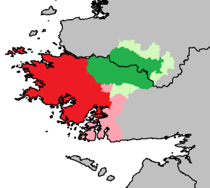
Green indicates Joyce Country, with pale green showing it at its greatest defined extent; Red indicates Connemara, with pink showing it at its greatest defined extent (not including those who consider anywhere west of the Corrib to be in Connemara)
The Ó Cadhla (Kealy) clan were the rulers of Connemara up until the 13th century, when they were displaced by the Ó Flaithbertaighs. The latter had fled into Iar Connacht from Maigh Seola during the English invasion of Connacht in the early 13th century.
Like the Ó Cadhla clan, the Mac Conghaile (Conneely) clan was also a branch of the Conmhaicne Mara.
The coast of Connemara consists of a number of peninsulas. The peninsula of Iorras Ainbhtheach (sometimes corrupted to Iorras Aithneach) in the south is the largest and contains the villages of Carna and Kilkieran. The peninsula of Errismore consists of the area west of the village of Ballyconneely. Errisbeg peninsula lies to the south of the village of Roundstone. The Errislannan peninsula lies just south of the town of Clifden. The peninsulas of Kingstown, Coolacloy, Aughrus, Cleggan, and Renvyle are found in the north-west of Connemara. Of the numerous islands off the coast of Connemara, Inishbofin is the largest; other islands include Omey, Inishark, High Island, Friars Island, Feenish and Maínis.
The main town of Connemara is Clifden. The area around the town is rich with megalithic tombs. The famous “Connemara Green marble” is found outcropping along a line between Streamstown and Lissoughter. It was a trade treasure used by the inhabitants of the prehistoric time. It continues to be of great value today. It is available in large dimensional slabs suitable for buildings as well as for smaller pieces of jewellery. It is used for the pendant for the Scouting Ireland Chief Scout’s Award, the highest award in Irish Scouting.
Transport
Connemara is accessible by the Bus Éireann and City Link bus services. From 1895 to 1935 it was served by the Midland Great Western Railway branch that connected Galway City to Clifden. The rail line is still visible on the N59.
Aer Arann Islands serves the Aran Islands from Connemara Airport in the south of Connemara also known as Aerfort na Minna.
Irish language
The population of Connemara is 32,000. There are between 20,000-24,000 native Irish speakers in the region making it the largest Irish speaking Gaeltacht.
Notable towns and villages
- Barna – (Bearna)
- Ballyconneely – (Baile Conaola / Baile Mhic Chonghaile)
- Ballynahinch – (Baile na hInse)
- Carna – (Cárna)
- Carraroe – (An Cheathrú Rua)
- Claddaghduff – (An Cladach Dubh)
- Cleggan – (An Cloigeann)
- Clifden – (An Clochán)
- Inverin – (Indreabhán)
- Kilkieran – (Cill Chiaráin)
- Leenaun – (An Lionán / Leenane)
- Letterfrack – (Leitir Fraic)
- Lettermore – (Leitir Móir)
- Lettermullen – (Leitir Mealláin)
- Maum – (An Mám , also ‘Maam’)
- Oughterard – (Uachtar Ard )
- Recess – (Sraith Salach)
- Renvyle – (Rinn Mhaoile)
- Rosmuck – (Ros Muc)
- Roundstone – (Cloch na Rón)
- Spiddal – (An Spidéal)
Notable islands
- Inishbofin – (Inis Bó Finne)
- Omey Island – (Iomaidh)
The weather was cloudier than the previous day. But it was not raining.
Irish (read: Celtic) is still spoken in large parts of the Connemara and the road signs are therefore in the Celtic script.
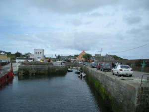
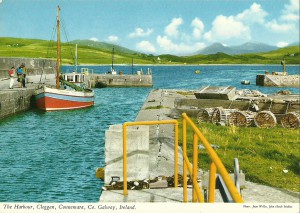
After the wonderful bus tour, The Wandelgek arrived in Clifden again. He quickly searched for a good campsite and that became LEO’s. This campsite consisted of a number of terraces along a steep slope running down to the harbour of Clifden. The view was beautiful, but the space was limited.
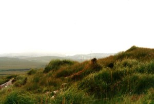
After setting up his tent, The Wandelgek climbed the hill, which he had visited a few days earlier, to admire the view again, but now with different eyes. The next few days he could discover that postcard landscape.
In the evening it was still quite sunny. It was nice enough to spend some time outside on a wooden bench. In the center of Clifden were some nice pubs, including Humpty’s. There was live music in this pub. It is very nice to see how two people can create a cozy atmosphere using very simple means. One played the guitar, the other had a stick with two stroke ends, which he used on a tambourine. The microphone was adjusted so that the tambourine sounded like a drum. They played anthems like Pianoman, American Pie, So long Marianne, So far away, and Stairway to Heaven, which were sung by the crowd of visitors and combined with a good glass of Guinness, that made it a night to remember. Eventually The Wandelgek went to his tent. With the tent still open you could hear the seawater in the harbor on this warm summer night.
Clifden
History
19th Century
The town was founded at the start of the 19th century by John D’Arcy (1785–1839) who lived in Clifden Castle (built around 1818, now a ruin) west of Clifden. He had inherited the estate in 1804, when it was mostly inhabited by fishermen and farmers. The idea of establishing a town on the coast was first voiced by him in 1812. Bad communications and a lack of private capital prevented fast progress until the 1820s, when the potato crop failed in 1821-22 and D’Arcy petitioned the government in Dublin for assistance. The engineer Alexander Nimmo was sent to the area in 1822. He constructed a quay at Clifden (finished in 1831), and started a road to Galway. With these improvements to its infrastructure, the town began to grow.
It prospered until, in 1839, John D’Arcy died. By that time, Clifden had grown from virtually nothing to a town of 185 dwellings, most of them three-floored, two churches, two hotels, three schools, a police barracks, courthouse, a gaol, a distillery and 23 pubs. The population had grown to 1,100 and the town already sported the (as yet unpaved) triangle of streets still visible today. Products that were shipped out from Clifden harbour included marble, corn, fish and kelp. However, John’s son and heir, Hyacinth, lacked his father’s abilities and confrontations with his tenants became commonplace. In 1843, Daniel O’Connell held a ‘Monster Meeting’ at Clifden, attended by a crowd reportedly numbering 100,000, at which he spoke on repeal of the Act of Union.
The town’s surging growth and propsperity came to an end when the famine started in 1845. Large numbers of people died, as government help proved insufficient to deal with starvation, scurvy and other diseases. By 1848 90% of the population were on relief (receiving government money). Landlords went bankrupt as rents dried up. Many people emigrated to America. On 18 November 1850, Hyacinth D’Arcy put up his estates for sale and most of them were purchased by Charles and Thomas Eyre of Somerset. Hyacinth pursued a church career and became Rector of Omey and Clifden. Charles Eyre sold his share to his brother, who gave the estates to his nephew (Charles’ son) John Joseph in 1864.
In 1855, Sisters of Mercy from Galway came to Clifden and established St. Joseph’s Convent, followed by an orphanage and St. Joseph’s Industrial School in 1858.
Clifden is the birthplace of Jon Riley, Saint Patrick’s Battalion’s commander, who fought for Mexico in the Mexican-American War in the 19th century, and John Bamlet Smallman, Irish-Canadian businessman (1849–1916).
20th Century
Clifden gained prominence after 1905 when Guglielmo Marconi decided to build his first high power transatlantic long wave wireless telegraphy station four miles (6 km) south of the town to minimize the distance to its sister station in Glace Bay, Nova Scotia. The first point-to-point fixed wireless service connecting Europe with North America opened for public service with the transmission of 10,000 words on 17 October 1907. At peak times, over 400 people were employed by the Clifden wireless station, among them Jack Phillips, who later died as chief Radio Operator on the Titanic.
One 19 June 1919 the first transatlantic flight by Alcock and Brown crashlanded in Derrygimlagh bog, close to Marconi’s transatlantic wireless station.
War of Independence
Events that would lead up to the “Burning of Clifden” began on 21 November 1920, Bloody Sunday. On that day, IRA members in Dublin attacked British officers and civilians believed to work for intelligence, killing eleven and wounding four. Later that day, British paramilitary auxiliary forces opened fire at Croke Park, killing twelve and injuring sixty. Thomas Whelan, born in 1899 in Clifden, was arrested and charged with the 21 November murder of Captain G.T. Bagelly. Although he maintained his innocence, Whelan was found guilty and executed on 14 March 1921. Following its Two for one policy that required the killing of two RIC members for every Republican executed, on 16 March 1921 members of the IRA shot and killed Constable Charles Reynolds and Constable Thomas Sweeney at Eddie King’s Corner in Clifden. The RIC requested assistance. In response, in the early hours of St Patrick’s Day, 17 March 1921, a trainload of Black and Tans arrived in town from Galway. They then proceeded to “burn, plunder and murder”. Terrorizing the town, they killed one civilian, seriously injured another, burned 14 houses and damaged several others.
Civil War
When the Civil War started in June 1922, Connemara was controlled by the Republicans. Almost all members of The Connemara Flying Column of the War of Independence were on the Anti-Treaty side and some of them became the leaders of the Western Division of the Republican Army. In Clifden, the population tolerated the Republicans but did not support them. The Republicans occupied the barracks on Main Street, the workhouse and Sunnybank, a large house north of town. In addition, all petrol was confiscated, roads barricaded and made impassable, railway bridges were blown up and telegraph lines cut. Newspapers were forbidden. Doctors had trouble caring for their patients due to the breakdown in communications.
After the Free State Army took Westport, the Republicans followed a scorched earth policy and burned the buildings they evacuated. In Clifden, the workhouse was burned in July. In addition, on 25 July, the Republicans set fire to the Marconi Station and fired shots at it. This was ostensibly because they considered the station “a British concern”. Another explanation offered later, was that the station had been used by the RIC in their March 1921 call for reinforcements. Transatlantic wireless service formerly provided by the Clifden station was transferred to the more modern Marconi wireless station near Waunfawr, Wales. By one reckoning, the station’s closure following the Republican attack caused an estimated 1,000 people to lose their livelihood.
On 12 August, the National Army sent 150 men led by Colonel-Commandant Austin Brennan from Galway by ship. They landed at Kilronan on the Aran islands. After resting, the troops attempted a crossing but just 15 miles from Clifden Quay this was abandoned due to inclement weather. Another try, on 14 August, was successful, with 50 of the troops landing at Mannin Bay, south of Clifden, the remainder travelling on to Inishturk. There they transferred to local fishing boats and crossed to Kingstown Bay, around five miles north of Clifden. In the night of 14/15 August the National Army marched to town from the north and from the south. The southern detachment had previously secured some bridges and the road to the Marconi Station. However, the Republicans managed to retreat in advance of the National Army towards the Twelve Pins and there was only minimal fighting. The National troops were warmly welcomed by the people of Clifden.
The Republicans still controlled the mountains and waged a guerrilla war against the National Army, which was unable to dislodge them. The Irregulars attacked Army posts and patrols, mainly by sniping. On 30 September, the Republicans announced that from then on all motor cars in Connemara would be attacked. On 13 October, Republicans burned the Recess Hotel and nearby Glendalough House to the ground to prevent the National troops from using them as billets.
On 29 October, the Republicans managed to recapture Clifden from the around 100 National troops stationed there. The attacking force consisted of around 350 men, who came by motor car but mostly by sea. They also had with them an “armoured car”, called The Queen of the West, and made from a ship’s engine boiler plates. This was used to advance towards a defended barracks building in order to drop off mines in front it, thus partly demolishing it. Eventually, the National troops surrendered but they were well-treated and commended on their ‘clean fight’. However, the Republicans – once having expelled the Army – did not occupy the town, which had sustained some damage during the fighting. Communications were once again severed, and the Irregulars took up positions around the town.
Finally, on 16 December, the National Army returned to Clifden and the Republicans once again slipped away just before its arrival. The townspeople again welcomed the Army and soon repairs started on bridges and the railway line. Soon the first train in seven months arrived in Clifden.
Transport
Road
The N59 road from Galway (77 km away) to Westport, County Mayo (64 km) passes through the town.
Coach
Regular coach services are provided by Bus Éireann and Citylink, connecting Clifden with Galway city. Some bus services operate through Oughterard, to the south of Lough Corrib, while others operate via Clonbur / Headford to the north of Lough Corrib.
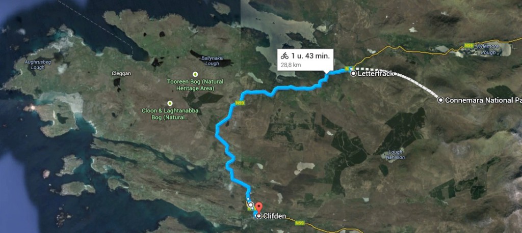
Bike tour #1 (28.8 kilometers) and hiking in the Connemara National Park
Map 1 (blue line is the bike tour, dotted white line is the hiking area):
After the first night in Clifden, the Wandelgek got up early to quickly rent a bicycle. The plan was to cycle north of Clifden to the Connemara National Park and make a walk there. Via the N59 from Clifden, The Wandelgek cycled off and skirted the beautiful sea arms that cut deep in to the land. After a while, the road curves deeper in to the land, where it gets a lot more forested. Uphill and downhill continuing to village of Letterfrack, from which it’s only a short distance to the entrance of the National Park. Letterfrack is a small hamlet from the 19th century, founded by Quackers. The mild climate causes Fuchsia hedges to flourish here. There are many loughs and sea inlets in the area.
After a tough climb, The Wandelgek arrived at the entrance of the Connemara National Park, where he left his bike and started walking. He first visited the visitor center and went further on foot to the high Diamond Hill.
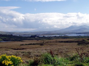
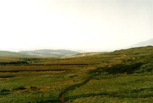
The parc includes mountains, wild rivers and steep cliffs, but mostly bog.
Bog is the Irish term for peat. The landscape was very similar to the area north of Ullapool in Scotland.
The Scots call these areas moors. You walk continuously on a soft, soggy and especially if you jump, springy surface.
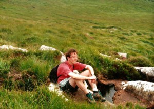
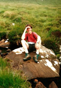
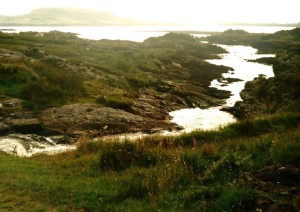
Somewhere in the midst of this landscape at a river that flowed quickly down the mountain, which was strewn with large boulders and had small waterfalls where the water overcame the height differences, The Wandelgek sat down to enjoy the view. In front Diamond Hill loomed, large and menacing. Far to the west, you could hear the sounds of the sea, like the sloshing water from the surf and the cries of the seagulls.
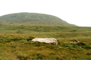
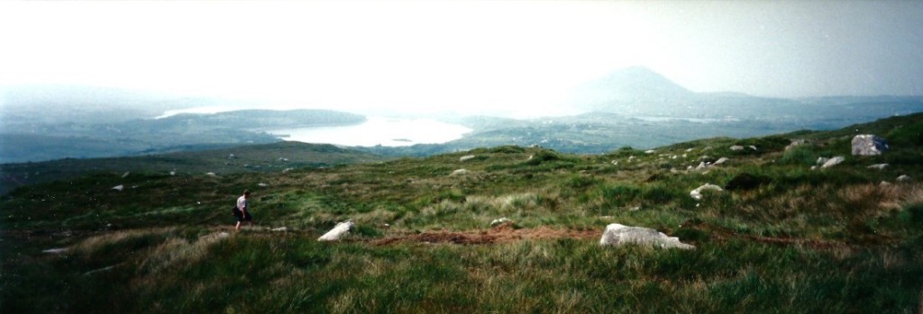
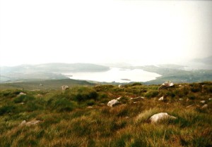
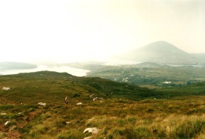
Between the sea and the river was a fresh green landscape dotted with boulders and rocks. After a while, The Wandelgek climbed further up the hill. The return journey to the entrance of the park crossed a steep mountain foot of the Diamond Hill, from where the view, despite some haziness, was very nice, wide and far.
Connemara National Park
Connemara National Park (Irish: Páirc Naisiúnta Chonamara) is one of six National Parks in the Republic of Ireland that are managed by the National Parks and Wildlife Service of the Department of the Arts, Heritage and the Gaeltacht. It is located in the west of Ireland within County Galway.
History
Connemara National Park was founded and opened to the public in 1980. It features 2,957 hectares of mountains, bogs, heaths, grasslands and forests. The entrance is situated on the Clifden side of Letterfrack. There are many remnants of human civilization within the park. There is a 19th-century graveyard as well as 4,000 year old megalithic court tombs. Much of the land was once part of the Kylemore Abbey estate.
Environment
Flora
Western blanket bog and heathland are the most common vegetation of Connemara National Park. The boglands are situated in the wet low lying environments whereas the blanket bog exists within the drier mountain atmosphere. Purple moorgrass is the most bountiful plant, creating colorful landscapes throughout the country side. Carnivorous plants play an important role in the park’s ecosystem, the most common being sundew and butterworts trap. Bogs hold very little nutrients so many plants obtain their energy from the digestion of insects. Other common plants include lousewort, bog cotton, milkwort, bog asphodel, orchids and bog myrtle, with a variety of lichens and mosses.
Fauna
Connemara National Park is noted for its diversity of bird life. Common song birds include Meadow Pipits, Skylarks, European Stonechats, Common Chaffinches, European Robins and Eurasian Wrens. Native birds of prey include the Common Kestrel and Eurasian Sparrowhawk with the Merlin and Peregrine Falcon being seen less frequently. Woodcock, Common Snipe, Common Starling, Song Thrush, Mistle Thrush, Redwing Fieldfare and Mountain goat migrate to Connemara during the winter.
Mammals are often difficult to find, but are present nonetheless. Fieldmice are common in the woodlands, whereas rabbits, foxes, stoats, shrews, and bats at night, are often sighted in the boglands. Red deer once roamed Connemara but were extirpated from the area approximately 150 years ago. An attempt was made to reintroduce red deer to Connemara and a herd was established within the Park. Nowadays, the largest mammal in the Park is the Connemara pony.
Back at the visitor center, The Wandelgek took his Mountain bike and raced at full speed in to the valley of Letterfrack and then followed the N59 back to Clifden.
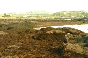
On a beautiful beach littered with boulders, The Wandelgek took a short bike break. The beach was around an ocean inlet and was full of seaweed, sea vesicles and mussels. In the distance the first rain of the day approached from the Atlantic Ocean and it approached like a sudden wall of rain, causing the weather to immediately change from sunny in to wet. After this short temper, The Wandelgek took his bike and raced onwards towards Clifden.
In retrospect, that bike race became pretty funny to remember, but at the time we raced with fire to the shins, uphill and downhill and behind us an increaslingly threatening thunderstorm. Just before Clifden the Wandelgek the thunderstorm overcame him and then the clouds emptied in a flush and thunder and lightning burst out with great intensity. Cycling without shelter in such a thunderstorm is no fun and not at all safe. The lightning passed to the left, behind, to the right and above him. At the very first house he saw he lurked close to the wall for shelter. After about an hour the most intense part of the thunderstorm had passed and the rain’s intensity diminished. The Wandelgek was raced down the last slope to Clifden.
After some rest at the tent, The Wandelgek went to Clifden again. The first Irish pub he visited, was a dark and luminous bar where they played live Irish folk music that evening. However, the lighting was broken, so candles were lit on each table. When after a while the lighting was repaired, a little girl came in to blow out all the candles. But candlelight is really sociable, so The wandelgek took his lighter and relit the candles! This process was repeated exactly 5 times after which the girl accepted defeat.
Afterwards the Wandelgek visited Humpty’s again. The same band as yesterday performed here and at the bar The Wandelgek met a Dutch couple passing through Ireland. While sipping Guinness, travel stories and experiences were exchanged.
Then it was time for sleep.
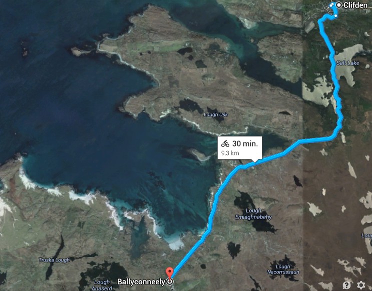
Bike tour #2 (9.3 kilometers:
Map 2:
The next morning The Wandelgek rented another mountain bike. He wanted to cycle in the direction of Ballyconneely in the south. Yesterday had been a quit sunny day, except for the rain showers in the evening and today there was plenty of sunshine. Actually, that is very special for Ireland is well known as a wet country. This time The Wandelgek cycled south skirting the coast. The plan was to visit a bay with beautiful blue water, blue sky and white sand to sit down and take a sunbath. The Wandelgek now followed the coast road R341. Somewhat south of Clifden was a small peninsula in Mannin Bay.
After rocky shores and beaches with boulders, he saw an environment with mostly beautiful bays and sandy beaches.
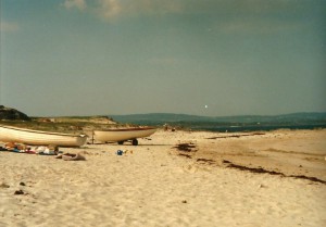
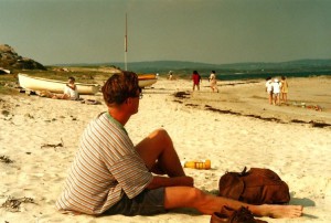
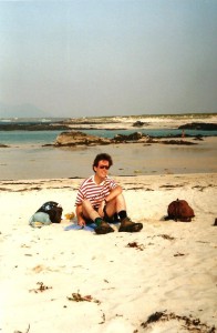
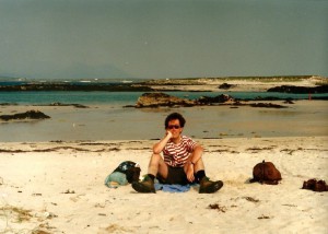
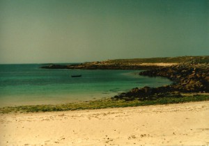
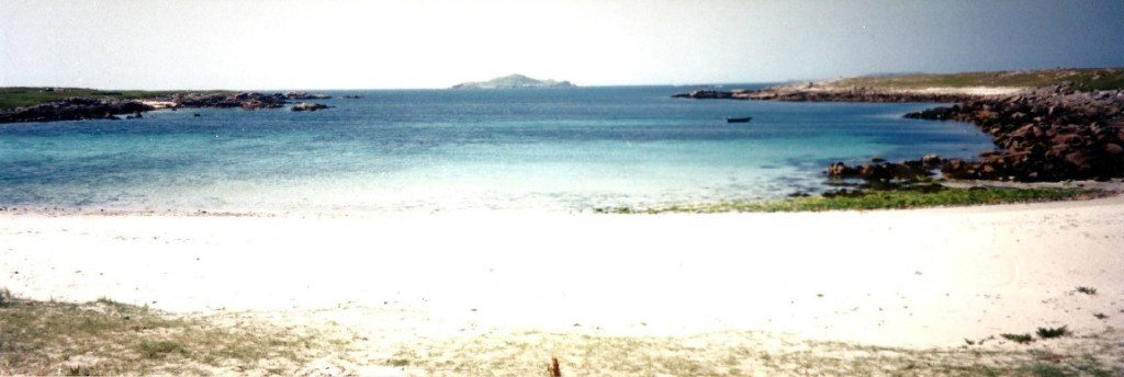
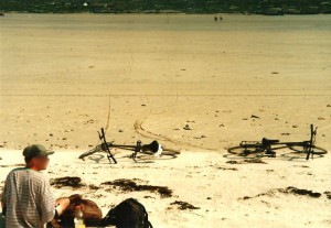
On one of those beautiful, sandy beaches, the Wandelgek left his bike. It was similar to the Mediterranean, but this was actually the barren west of Ireland. But because of the bright sun shining in the sky, the air was sky blue, the water was a mix of azure blue and emerald green and the beach was blinding white.
The Irish newspapers spoke about a heat wave. The last two days had been quite sunny, but today was a hot day. Yet the good weather was to become lasting. This was caused by a large high pressure area which hovered stable over Ireland …
On the todays cycle journey it struck that there was an abbundance of lavishly blossoming wildflowers in the coastal area of Connemara.
After sunbathing on the beach for awhile it was time for a swim. It soon became clear that the further you went in to the ocean, the stronger the counterflow of water from land was (ebb) and it was more difficult to swim back to the beach.
In the water, all kinds of small fish swam between the legs and underneath the feet. From the beach in to the ocean a number of large stone dams were built and farther in to the ocean lay small islands where you could swim to and go sunbathing.

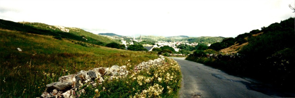
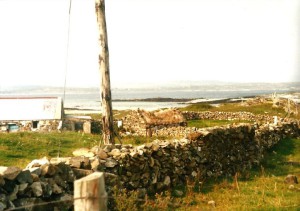
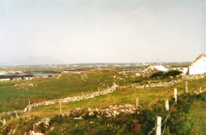
View from the coast in to the Connemara with its green meadows, white washed cottages, dry stone walls and far away mountains…
Ballyconneely
Ballyconneely (Irish: Baile Conaola, meaning “Conneelys’ village”) is a small ribbon development in west Connemara, County Galway, Ireland.
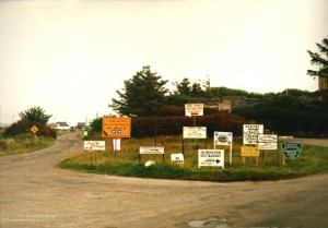
Late in the afternoon when the greatest heat was gone, The Wandelgek cycled towards Ballyconneely, which according to the ANWB guide of Ireland should have a stunning townscape. Well, that village view was not there. There were just some solitary buildings where there was nothing special to see. I also have a picture of a piece of border between two roads, which was so crammed with billboards that it seemed like there was something important happening there. That was not the case!
Settlements are spread out north on the road to Clifden and south on the road to Roundstone. Every July, the Ballyconneely pony show attracts people from the surrounding county to exhibit livestock and enjoy the travelling funfair.
This peninsula, jutting into the Atlantic Ocean between Clifden to the north and Roundstone to the south, is a quiet rural area. Its name is based on the old civil parish of Ballindoon, which in turn was named from the old fort or cashel on Doon Hill.
The area is surrounded by beaches: the Coral Strand at Derrygimla; west and north to Knock, Mannin, Dunloughan and Truska; and east and south from Keeraunmore, Aillebrack, and Ballyconneely Bay to Calla, Dolan and Murvey. Some of these bathing spots provide bases for shore fishermen.
Ballyconneely has three historic associations: In 1854, the first salmon farming operation in the United Kingdom was carried out on the Dohulla Fishery. In 1919, the first transatlantic flight by Alcock and Brown ended two miles away in Derrygimla Bog, an unsuitable landing place which damaged the aircraft. The crash landing was near the Marconi Wireless Telegraph Station built in 1905, which was used to send the first transatlantic wireless message, to Cape Breton in Nova Scotia, in 1907.
Ballyconneely breeds Connemara ponies, including some home and overseas champions. Legend has it that the breed originated when Arabian horses come ashore from a Spanish shipwreck near Slyne Hea and bred with the small native pony.
Attractions include a 27-hole golf links, and Roundstone Bog three miles to the east, an expanse of moor, lake and stream, containing wildlife and rare plants. The beaches have edible shellfish and molluscs accessible at low tide, including clams, cockles, mussels, razorfish, sea urchins, shrimp and scallops, and with local knowledge, the occasional lobster. Connemara Smokehouse and Visitor Centre is located at the Aillebrack fishing pier, a small harbour used by local fishermen and boat owners.
Two shops, a post office, a community hall, and a local parish hall make up the village centre. Other businesses in the area include a hotel, a golf course with club house, guest-houses, bed-and-breakfast establishments, and holiday homes.
Former Taoiseach Brian Cowen is reported to have a holiday home in Aillebrack, close to the Connemara Golf Links.
After some time, The Wandelgek cycled northward, back to Clifden. On a little distance from Ballyconneely, The Wandelgek paused at a beautiful rocky beach to enjoy the panoramic view.
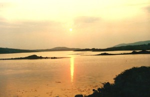
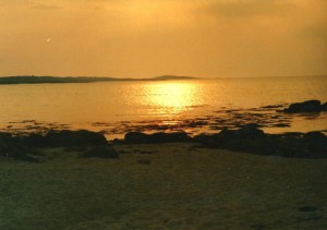
It became evening and The Wandelgek had approached Clifden when he paused at a nice coastal bay to look at the setting sun…
The setting sun changed in to a beautiful orange fireball in a calm and reflective, rippling ocean.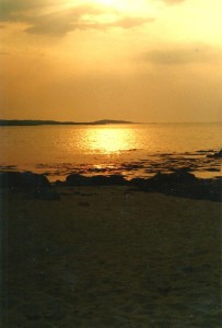
Near Clifden, in a lough, a small island was situated. On this island was a cave containing a statue of Mary. At the forested island with its steep footpaths, The Wandelgek sheltered for another short rain shower.
Then The Wandelgek cycled back to Clifden and spent the rest of the evening quietly in front of the tent.
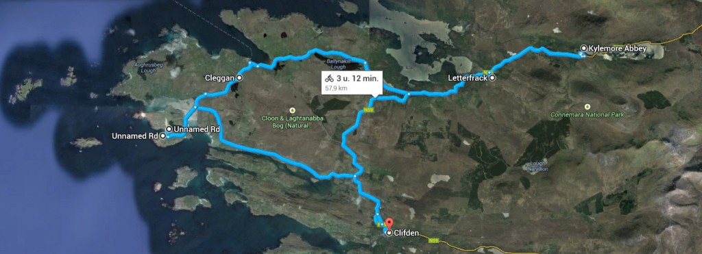
Bike tour #3 (57.9 kilometers):
Map 3:
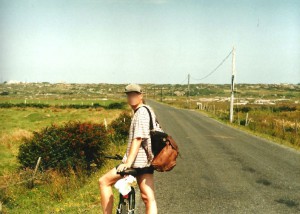
The next day promised to be very sunny. Therefore The Wandelgek stood up early again and rented a mountain bike, to cycle northward. A little distance to the north of Clifden was a much larger peninsula than the one in Mannin Bay.
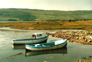
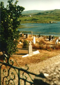
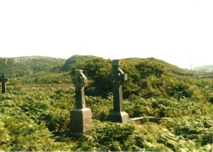
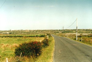
After having cycled over the N59 for awhile, The Wandelgek left this road to cycle through the barren, deserted but very beautiful landscape of this peninsula. In this environment were small loughs and he regularly passed a cemetery (eg, on the shores of a lough) which had the the famous Celtic High Crosses standing on the graves.
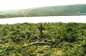
One cemetry had gravestones, completely overgrown by plants. Only the High Crosses peeked out of the green…
After a brisk bike ride through a barren, open landscape with only some scattered stray trees, that were strongly bend into the prevailing wind direction, The wandelgek arrived at the end of the peninsula.
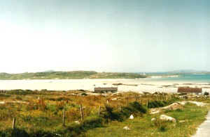
In front of him was a large piece of low, flat beach that would probably drown at high tide, connecting the mainland to a small island. The island had a surface of just a few square kilometers.
In the center of this island was a large freshwater lake surrounded by low banks full of green grass and flowers.
On the other side of the island was a beautiful bay with pearly white sand, blue water, blue sky and, at the exact center of its exit was a beautiful but distant island.
Here was a idyllic place to rest. It was now very hot and it was necessary to drink a lot.
After having enjoyed the view, The Wandelgek cycled back to the N59 to seek shade against the burning hot sun. It was now the hottest part of the day. That shade was not so easy to find. On the island The Wandelgek spotted some beautiful blue flowers.
Thus the Wandelgek came back to the large sandy beach …
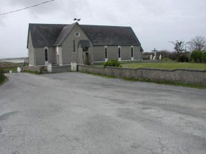
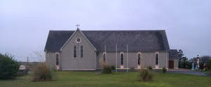
Cycling on the peninsula towards Cleggan, The Wandelgek saw a small church. There was a fence which he climbed and then he sat down in the cool shade of the church.
Cleggan
Cleggan is really a typical small Irish hamlet with at its center an “old men pub“. The Wandelgek heard a few Irish men speaking Gaelic. It remains an inimitable, strange, but beautiful language.
Cleggan (Irish: An Cloigeann meaning head) is a picturesque fishing village in County Galway, Ireland. The village lies 10 km (7 mi) northwest of Clifden and is situated at the head of Cleggan Bay.
A focal point of the village is the pier, built by Alexander Nimmo in 1822 and extended in 1908. Ferries leave the pier daily for Inishbofin (Galway), and there is also a ferry to Inishturk.
History
An Cloigeann means head or skull, apparently referring to the coastal headland. Legend, however, provides a different origin of the name. St. Ceannanach is said to have been beheaded by a pagan chief. Lore has it that the chief then picked up his head and took it to the Holy Well in Clooncree where he washed it before lying down to die. At the top of Cleggan head, which gives a commanding view of the harbour, is the remains of a watchtower constructed during the Napoleonic wars.
In 1927, in what became known as the Cleggan Bay Disaster, 25 fishermen from the local area drowned during a great gale which arose without warning while they were mackerel fishing in the bay. The nearby village of Rossadilisk lost sixteen men and was subsequently abandoned. Nine men from Inishbofin and twenty men from County Mayo were also lost. Due to the death of so many breadwinners, the area was devastated. The disaster and the devastation visited on the local families made international news and funds were raised from as far away as the U.K., U.S. and Australia. The disaster is remembered in stories, poems and on stone markers. It was recorded by local Marie Feeney in her book “The Cleggan Bay Disaster”, by TG4 Documentary “The Cleggan Disaster” / “An Bádhadh Mór” directed by Petra Conroy, and remembered in Richard Murphy’s poem “The Cleggan Disaster”, from his 1963 book “Sailing to an Island”. Irish singer/songwriter Saoirse Mhór wrote the song “The Cleggan Bay Disaster” (Greenhill Media 2013) which was the title track of the 2013 release by the German/Irish Folk band Fleadh.
Offshore, the island of Inishbofin can be reached by boat from Cleggan pier. Inishbofin has a population of about 200 people. In 665 St. Coleman founded a monastery on the island. A roofless thirteenth century chapel in the present day graveyard is believed to be the site of his monastery. The harbour entrance of the island is dominated by the Cromwellian fort which was a prison camp for Catholic priests. The island also holds the remains of castle built by the “pirate queen” Gráinne O’Malley.
A notable feature of the physical geography around Cleggan is blanket bog. Few plant species can live in the acid condition of the bog, but those that can form a vegetation not found outside Ireland.
Near Cleggan is a collection of prehistoric monuments including tombs, standing stones and walls.
Economy
Cleggan now receives more tourists, but traditionally the main source of income in the village has been fishing, supplemented by farming, which is difficult in the area’s soil. Fishing continues to be an important industry. The village has four bars (Olivers, Joyces, Newmans, and The Pier Bar), one grocer, a post office, and a sit-down restaurant, as well as a take-out. In addition to trips to the local islands, popular leisure activities for visitors include horseback riding and fishing.
After having cooled down, The Wandelgek cycled back towards the N59.
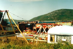
Then The Wandelgek cycled onwards to Letterfrack. Letterfrack has an old-fashioned looking fair with only wooden attractions. However, this fair was closed.
Letterfrack
Letterfrack or Letterfrac (Irish: Leitir Fraic) is a small village in the Connemara area of County Galway, Ireland. It was founded by Quakers in the mid-19th century. The village is 15 kilometres (9 miles) north-east of Clifden on Barnaderg Bay and lies at the head of Ballinakill harbour. Letterfrack contains the visitors centre for Connemara National Park.
Quaker Famine Relief
James and Mary Ellis, a Quaker couple from Bradford in England, moved to Letterfrack, during the Great Famine, Ellis becoming the resident landlord in Letterfrack in 1849. As Quakers the Ellises wanted to help with the post-Famine relief effort. They leased nearly 1,000 acres (405 ha) of rough land and set about reclaiming it, farming it and planting it with woodland. They built a schoolhouse, housing for tradesmen, a shop, a dispensary, and a temperance hotel. In 1857 the property was sold to John Hall, a staunch Protestant and supporter of the Irish Church Mission to Roman Catholics. The ICM used the building with the aim of converting Catholics to Protestantism. After 25 years without much success, Hall sold it in 1882, under the impression he was selling it to a Protestant buyer, for £3000 for 1,000 acres (405 ha).
St Joseph’s Industrial School, Letterfrack
Under a false name the Archbishop of Tuam, Dr John McEvilly, bought in 1882 the former Ellis property, which at the time was being used by the Protestant Irish Church Missions to Roman Catholics and established in 1885 St Joseph’s Industrial School, Letterfrack which opened in 1887, Letterfrack Industrial School became notorious for neglect and abuse, the school closed in 1974.
GMIT Campus
In 1987 the Connemara West began running furniture courses which has become the Furniture College/Campus for the Galway-Mayo Institute of Technology.
Marconi Wireless Station
Letterfrack was selected by Marconi as the location for the transatlantic wireless receiver station for his new duplex transatlantic wireless service. Beginning in 1913, eastbound messages were sent from his Marconi Towers, Nova Scotia high power wireless station to Letterfrack; while westbound messages were sent simultaneously from the Clifden high power wireless station to Louisbourg. The Letterfrack station was closed and the service was transferred to a modern receiver station in Tywyn, Wales after his Clifden station was destroyed in 1922 during the Irish war of independence. Duplex operation—initially developed by Marconi at Letterfrack—quickly became a standard practice for commercial and military radiotelegraph communication.
Media
- Connemara Community Radio broadcasts from Letterfrack.
From Letterfrack, The Wandelgek continued his tour on the N59 eastward, but now he passed the entrance to the National Park and went on until he reachedup Pollacapall Lough, which was in the middle of a forest and which is where Kylemore Abbey is located.
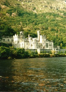
Kylemore Abbey is situated in the wild and beautiful Connemara landscape. This amazing 19th century granite and limestone structure is home to nuns of the Order of Saint Benedict. It is also a boarding school for girls. Beautiful gardens and a church are located on the grounds of this boarding school.
At the border of the lough it was nice and cool and the view of the abbey was amazing.
While cycling back to Clifden, The Wandelgek came past the access road to Kylemore Abbey, where a sign stood, reading: “Old School House”.
After a brief pause, The Wandelgek cycled back to Clifden, where he spent evening at the Irish pub Humpty’s, refueling his stock of Guinness. Then he finally returned to his tent.
Resting day in downtown Clifden
The next morning the weather was hot again and this time The Wandelgek decided to stay in Clifden and have a better look at the village. That, however, was achieved quite quickly.
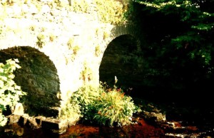
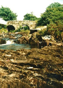
He visited some shops of which the most interesting one was a shop selling enameled Guinness beer commercial shields. The Wandelgek then went to the river Owenglin that flows through Clifden and went down to the shore close to a beautiful stone bridge. He put his feet in to the water and began reading a good book. That was “The adventures of Huckleberry Finn” by Mark Twain.

